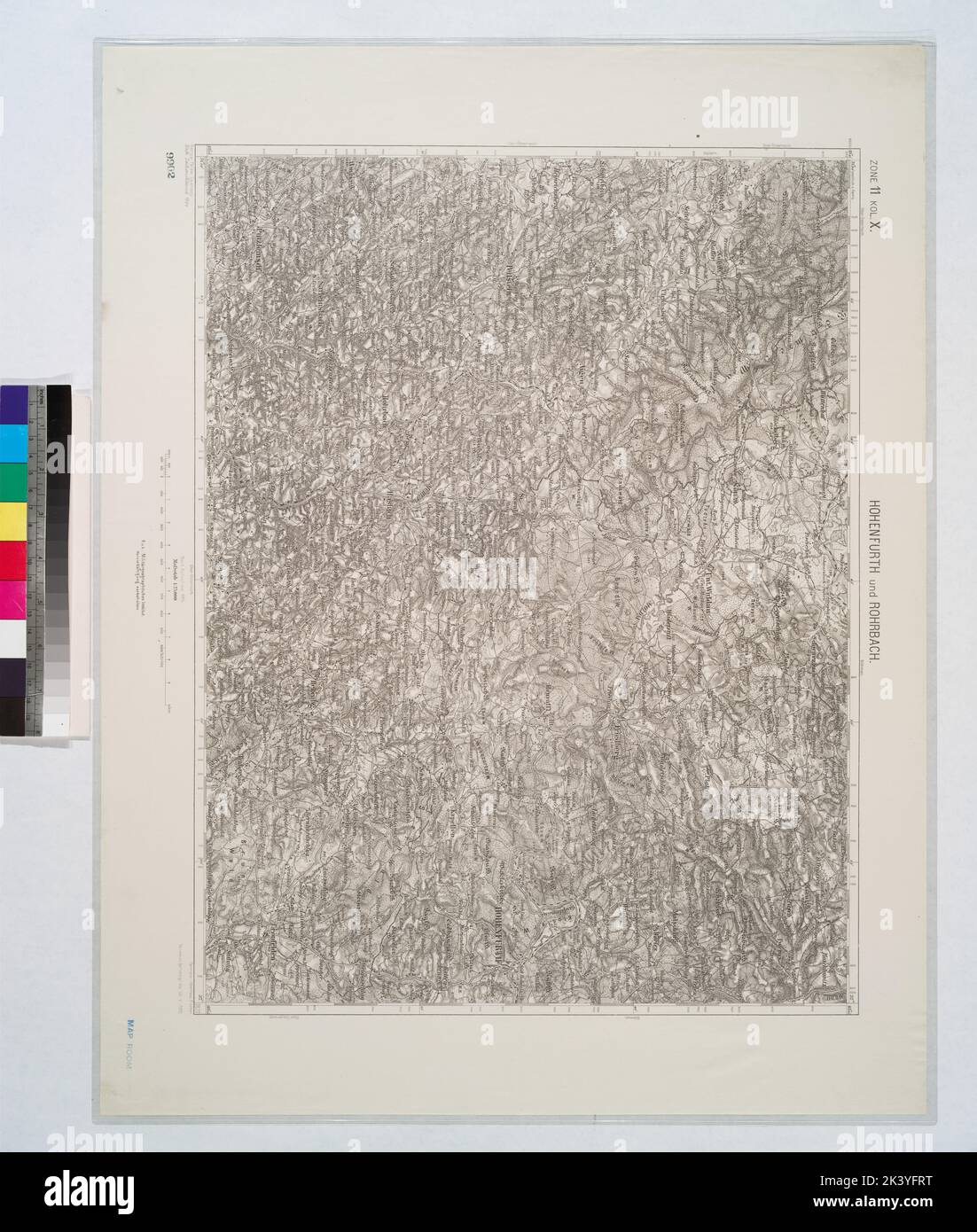
Hohenfurth und Rohrbach (Bohmen). Cartographic. Maps, Topographic maps. 1912. Lionel Pincus and Princess Firyal Map Division
RMID:Image ID:2K3YFRT
Image details
Contributor:
Ny/piemags / Alamy Stock PhotoImage ID:
2K3YFRTFile size:
69.4 MB (4.4 MB Compressed download)Releases:
Model - no | Property - noDo I need a release?Dimensions:
4536 x 5347 px | 38.4 x 45.3 cm | 15.1 x 17.8 inches | 300dpiMore information:
This image is a public domain image, which means either that copyright has expired in the image or the copyright holder has waived their copyright. Alamy charges you a fee for access to the high resolution copy of the image.
This image could have imperfections as it’s either historical or reportage.