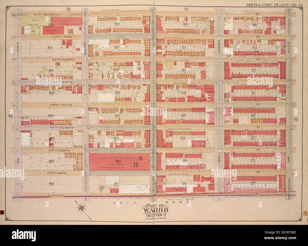
E.B. Hyde & Co.. Cartographic, Maps. 1903 - 1907. Lionel Pincus and Princess Firyal Map Division. Brooklyn (New York, N.Y.) , Maps, Real property , New York (State) , New York Brooklyn, Vol. 1, Double Page Plate No. 35; Part of Ward 8, Section 3; Map bounded by 52nd St., 5th Ave.; Including 60th St., 1st Ave.
RMID:Image ID:2K307M2
Image details
Contributor:
Ny/piemags / Alamy Stock PhotoImage ID:
2K307M2File size:
82.7 MB (3.7 MB Compressed download)Releases:
Model - no | Property - noDo I need a release?Dimensions:
6296 x 4589 px | 53.3 x 38.9 cm | 21 x 15.3 inches | 300dpiMore information:
This image is a public domain image, which means either that copyright has expired in the image or the copyright holder has waived their copyright. Alamy charges you a fee for access to the high resolution copy of the image.
This image could have imperfections as it’s either historical or reportage.