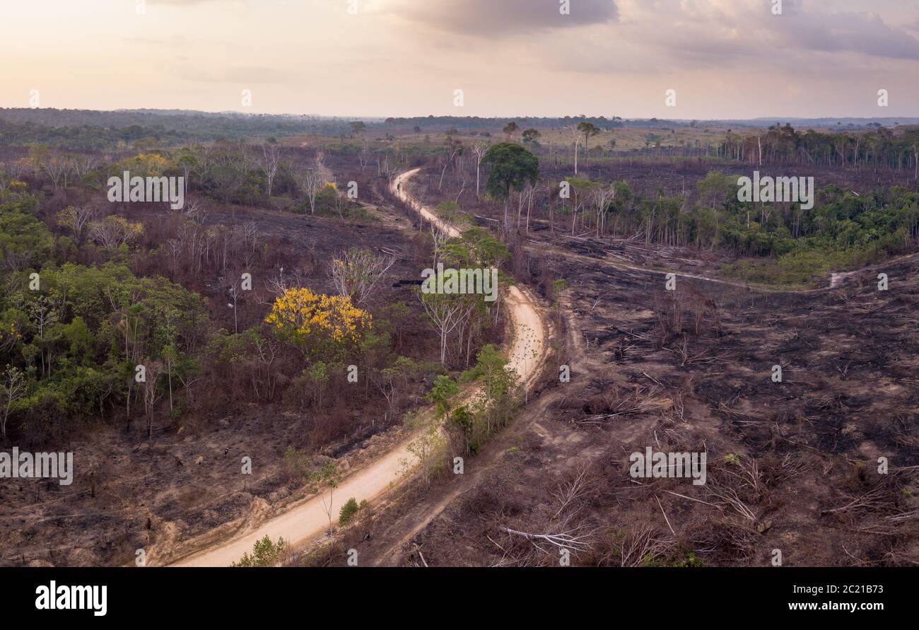
Drone aerial view of deforestation on farm with illegal burning of forest trees to make pasture for cattle in Amazon rainforest, Para, Brazil.
RFID:Image ID:2C21B73
Image details
Contributor:
Paralaxis / Alamy Stock PhotoImage ID:
2C21B73File size:
30.4 MB (1.7 MB Compressed download)Releases:
Model - no | Property - noDo I need a release?Dimensions:
4150 x 2560 px | 35.1 x 21.7 cm | 13.8 x 8.5 inches | 300dpiDate taken:
23 September 2019More information:
Drone aerial view of deforestation on farm with illegal burning of forest trees to make pasture for cattle in Amazon rainforest, Para, Brazil. Concept of ecology, environment, co2, global warming.