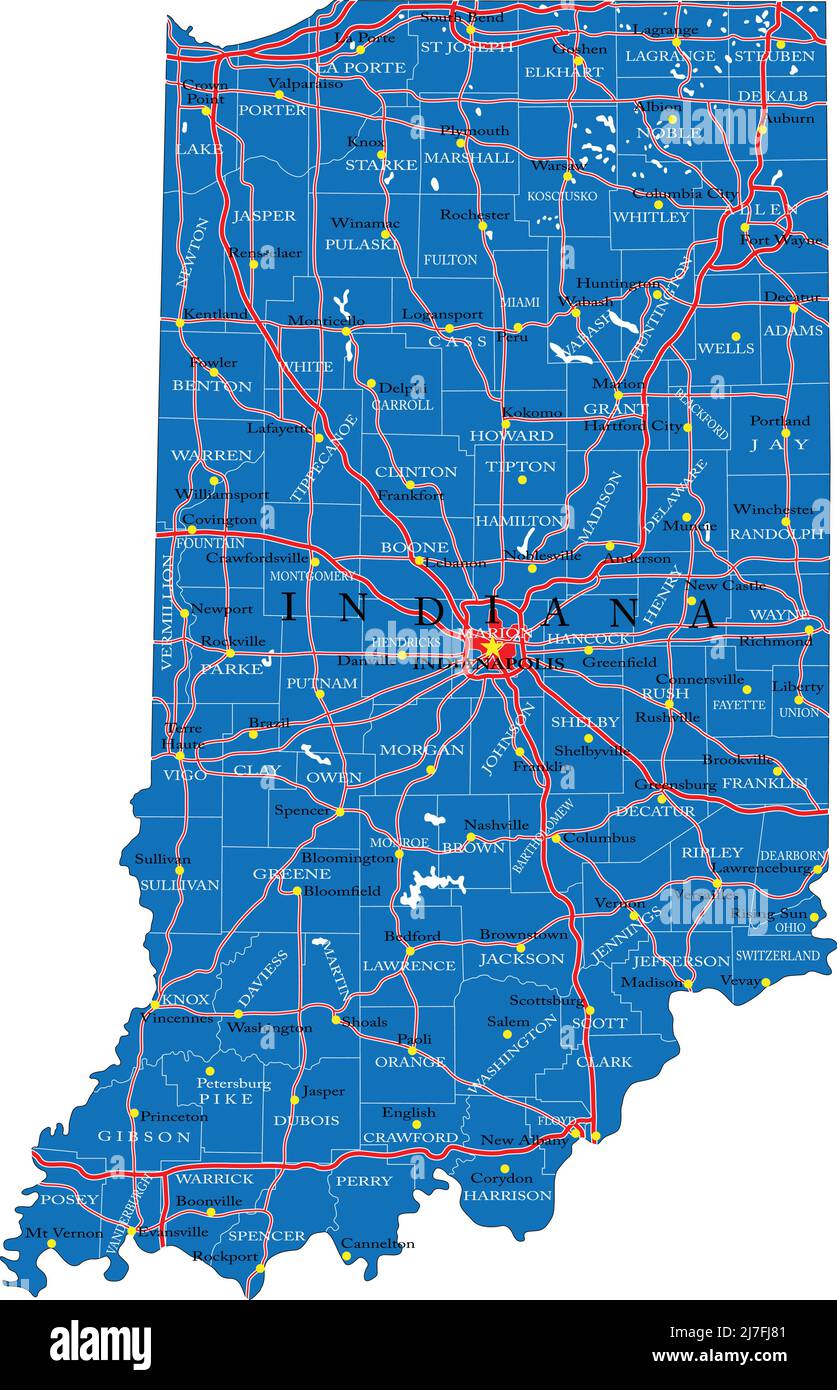
Detailed map of Indiana state,in vector format,with county borders,roads and major cities.
RFID:Image ID:2J7FJ81
Image details
Contributor:
BOGDAN SERBANImage ID:
2J7FJ81Releases:
Model - no | Property - noDo I need a release?Date created:
12 April 2020