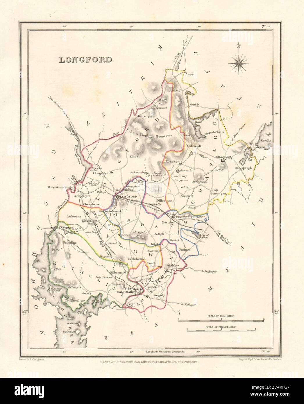
COUNTY LONGFORD antique map for LEWIS by DOWER & CREIGHTON. Ireland 1846
RFID:Image ID:2D4RFG7
Image details
Contributor:
Antiqua Print Gallery / Alamy Stock PhotoImage ID:
2D4RFG7File size:
23.9 MB (904.1 KB Compressed download)Releases:
Model - no | Property - noDo I need a release?Dimensions:
2592 x 3219 px | 21.9 x 27.3 cm | 8.6 x 10.7 inches | 300dpiDate taken:
1846Location:
IrelandMore information:
This image could have imperfections as it’s either historical or reportage.
Longford. Artist/engraver/cartographer: Drawn by R. Creighton, engraved by I. Dower for Samuel Lewis' Topographical Dictionary. Provenance: "Lewis's Atlas compromising the Counties of Ireland and a general map of the Kingdom", Published by S. Lewis & Co, 13, Finsbury Place South, London [Lewis's Ireland]. Type: Antique engraved county map divided into baronies, with original outline hand colouring.