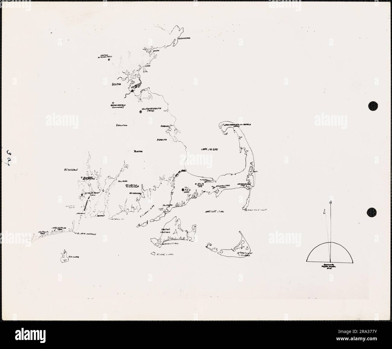
Chart of New England Air Installations between Gloucester, Massachusetts and Westerly, Rhode Island. Administrative History of the First Naval District in World War II
RMID:Image ID:2RA377Y
Image details
Contributor:
piemags/W23 / Alamy Stock PhotoImage ID:
2RA377YFile size:
72 MB (694.8 KB Compressed download)Releases:
Model - no | Property - noDo I need a release?Dimensions:
5543 x 4543 px | 46.9 x 38.5 cm | 18.5 x 15.1 inches | 300dpiDate taken:
22 April 2016More information:
This image is a public domain image, which means either that copyright has expired in the image or the copyright holder has waived their copyright. Alamy charges you a fee for access to the high resolution copy of the image.
This image could have imperfections as it’s either historical or reportage.