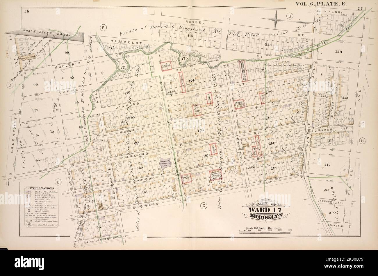
Cartographic, Maps. 1880. Lionel Pincus and Princess Firyal Map Division. Brooklyn (New York, N.Y.), Real property , New York (State) , New York Vol. 6. Plate, E. Map bound by Whale Creek Canal, Humboldt St., Norman Ave., Russell St., Van Cott Ave., N.Henry St., Van Pelt Ave., Lorimer St., Leonard St., Meserole Ave., Manhattan Ave., Calyer St., Oakland St., Green Point Ave.; Including Moultrie St., Jewell St., Diamond St., Newell St., Graham Ave., Eckford St., Orchard St., Nassau St., Broome St.
RMID:Image ID:2K30B79
Image details
Contributor:
Ny/piemags / Alamy Stock PhotoImage ID:
2K30B79File size:
78.3 MB (3.5 MB Compressed download)Releases:
Model - no | Property - noDo I need a release?Dimensions:
6422 x 4261 px | 54.4 x 36.1 cm | 21.4 x 14.2 inches | 300dpiMore information:
This image is a public domain image, which means either that copyright has expired in the image or the copyright holder has waived their copyright. Alamy charges you a fee for access to the high resolution copy of the image.
This image could have imperfections as it’s either historical or reportage.