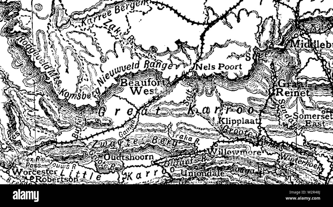
Beaufort West Map - Cape Colony 1911
RMID:Image ID:W2R48J
Image details
Contributor:
Alpha Stock / Alamy Stock PhotoImage ID:
W2R48JFile size:
28.6 MB (1.3 MB Compressed download)Releases:
Model - no | Property - noDo I need a release?Dimensions:
4244 x 2356 px | 35.9 x 19.9 cm | 14.1 x 7.9 inches | 300dpiMore information:
This image is a public domain image, which means either that copyright has expired in the image or the copyright holder has waived their copyright. Alamy charges you a fee for access to the high resolution copy of the image.
This image could have imperfections as it’s either historical or reportage.