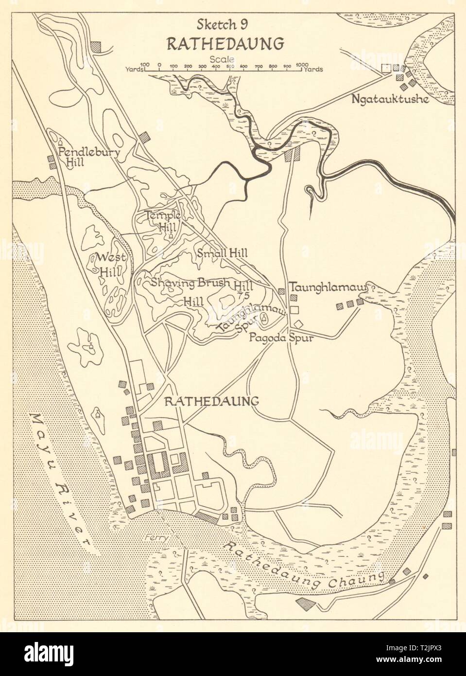
Battle of Rathedaung 1943. Japanese conquest of Burma. World War 2 1961 map
RFID:Image ID:T2JPX3
Image details
Contributor:
Antiqua Print Gallery / Alamy Stock PhotoImage ID:
T2JPX3File size:
11.5 MB (521.6 KB Compressed download)Releases:
Model - no | Property - noDo I need a release?Dimensions:
1725 x 2337 px | 29.2 x 39.6 cm | 11.5 x 15.6 inches | 150dpiDate taken:
1961Location:
BurmaMore information:
This image could have imperfections as it’s either historical or reportage.
Rathedaung. Artist/engraver/cartographer: HMSO. Provenance: "The War against Japan. Volume 2. India's most dangerous hour", by Major General S. Woodburn Kirby, with Captain C.T. Addis, Colonel J.F. Meiklejohn (succeeded by Brigadier M.R. Roberts), Colonel G.T. Wards, Air Vice-Marshal N.L. Desoer. Her Majesty's Stationery Office, London. Contains public sector information licensed under the Open Government Licence v3.0. Type: Vintage military history map.