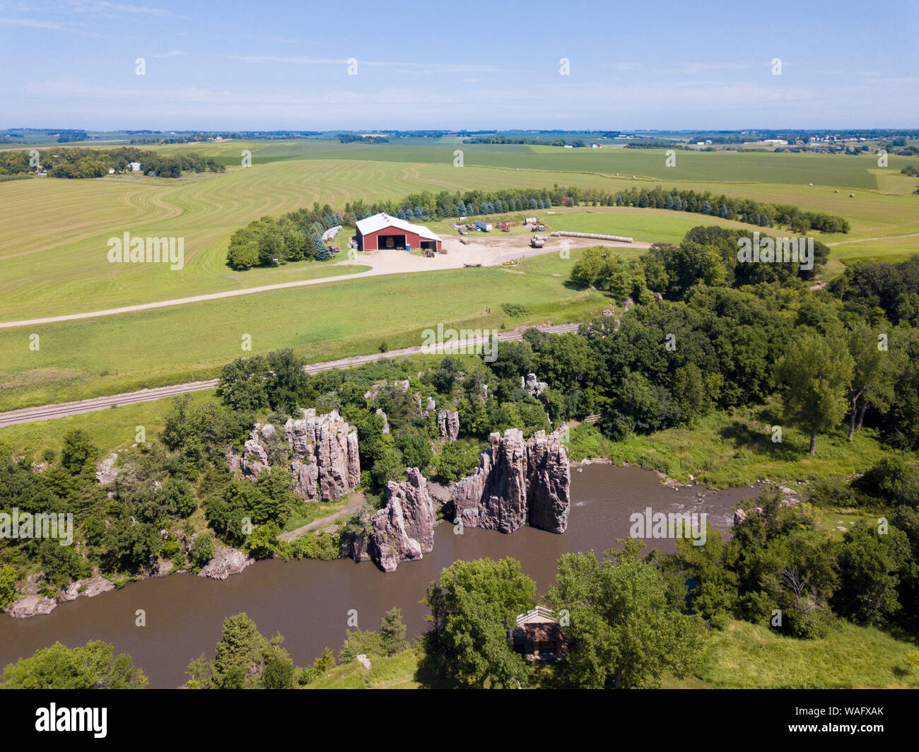
Aerial view of farmland, river, and cliffs in eastern South Dakota, USA.
RFID:Image ID:WAFXAK
Image details
Contributor:
John Wollwerth / Alamy Stock PhotoImage ID:
WAFXAKFile size:
22 MB (1.5 MB Compressed download)Releases:
Model - no | Property - noDo I need a release?Dimensions:
3200 x 2399 px | 27.1 x 20.3 cm | 10.7 x 8 inches | 300dpiDate taken:
18 July 2019