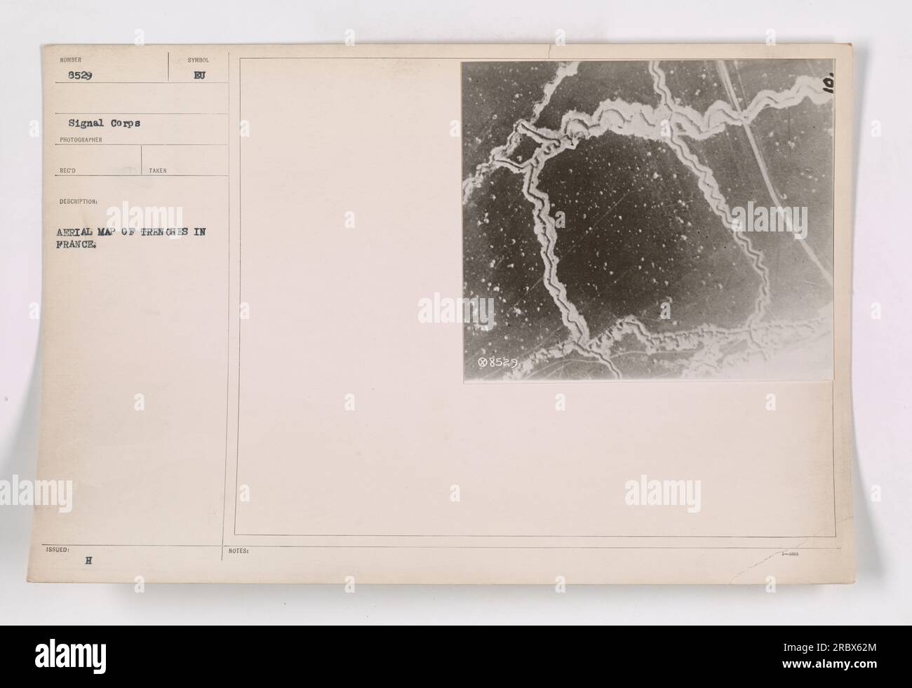
"Aerial photograph showing a map of trenches in France during World War One. The image, captured by photographer Reco, is marked with the letter 'H' and accompanied by the notes 'EU'. This photograph, labeled as 8529, was taken by the Signal Corps."
RMID:Image ID:2RBX62M
Image details
Contributor:
piemags/NSC / Alamy Stock PhotoImage ID:
2RBX62MFile size:
165.4 MB (3.4 MB Compressed download)Releases:
Model - no | Property - noDo I need a release?Dimensions:
9179 x 6298 px | 77.7 x 53.3 cm | 30.6 x 21 inches | 300dpiDate taken:
25 September 2016More information:
This image is a public domain image, which means either that copyright has expired in the image or the copyright holder has waived their copyright. Alamy charges you a fee for access to the high resolution copy of the image.
This image could have imperfections as it’s either historical or reportage.