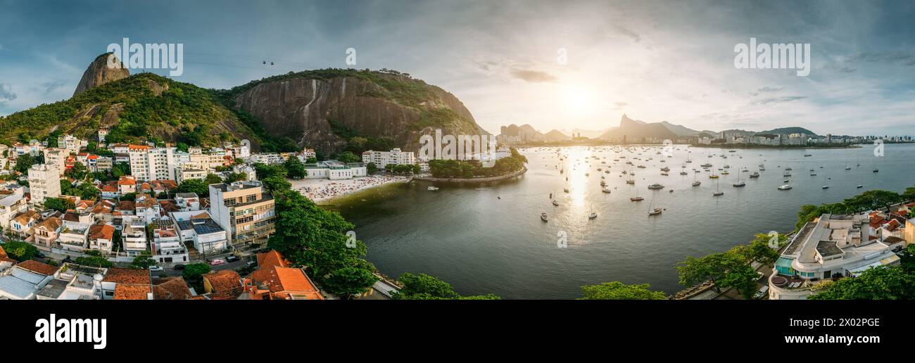
Aerial drone panorama of Urca neighbourhood and surrounding Botafogo and Guanabara Bay, UNESCO, between the Mountain and the Sea
RFID:Image ID:2X02PGE
Image details
Contributor:
robertharding / Alamy Stock PhotoImage ID:
2X02PGEFile size:
258.4 MB (11.9 MB Compressed download)Releases:
Model - no | Property - noDo I need a release?Dimensions:
16599 x 5441 px | 140.5 x 46.1 cm | 55.3 x 18.1 inches | 300dpiDate taken:
29 December 2023Location:
BrazilPhotographer:
Alexandre Rotenberg