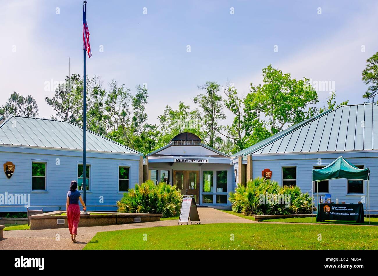
A tourist walks toward the visitor’s center at Gulf Islands National Seashore, May 1, 2021, in Ocean Springs Mississippi.
Image details
Contributor:
Carmen K. Sisson/Cloudybright / Alamy Stock PhotoImage ID:
2FMB64FFile size:
46 MB (1.8 MB Compressed download)Releases:
Model - no | Property - noDo I need a release?Dimensions:
4928 x 3264 px | 41.7 x 27.6 cm | 16.4 x 10.9 inches | 300dpiDate taken:
1 May 2021Location:
Ocean Springs, Mississippi, USAMore information:
A tourist walks toward the visitor’s center at Gulf Islands National Seashore, May 1, 2021, in Ocean Springs Mississippi. The Davis Bayou Area is the only portion of the Gulf Islands National Seashore in Mississippi that is accessible by automobile, but there is no access to the beach, and swimming is not allowed. Petit Bois, Horn, East Ship, West Ship, and Cat islands are accessible only by boat. The Gulf Islands National Seashore is located along the barrier islands of Florida and Mississippi. Protected regions include mainland areas and parts of seven islands. The Mississippi portion of the National Seashore features natural beaches, historic sites, wildlife sanctuaries, islands accessible only by boat, bayous, nature trails, picnic areas, and campgrounds. The Florida section features sand beaches, historic forts, and nature trails. The Gulf Islands National Seashore was founded in 1971 and is operated by the National Park Service. (Photo by Carmen K. Sisson/Cloudybright)