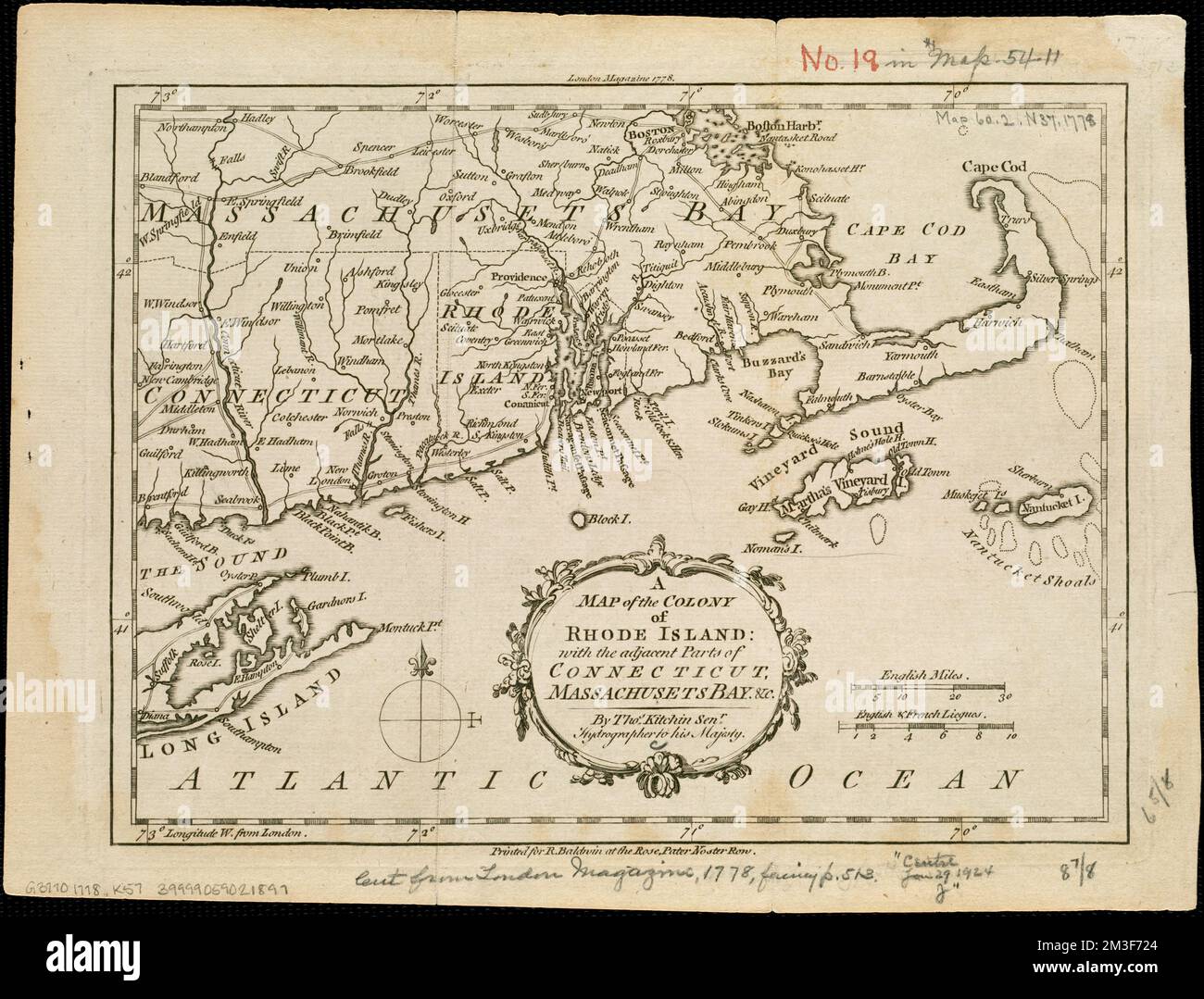
A map of the colony of Rhode Island : with the adjacent parts of Connecticut, Massachusetts Bay, &c , New England, Maps, Early works to 1800, Rhode Island, Maps, Early works to 1800, Connecticut, Maps, Early works to 1800, Massachusetts, Maps, Early works to 1800 Norman B. Leventhal Map Center Collection
RMID:Image ID:2M3F724
Image details
Contributor:
piemags/DCM / Alamy Stock PhotoImage ID:
2M3F724File size:
43.9 MB (2.8 MB Compressed download)Releases:
Model - no | Property - noDo I need a release?Dimensions:
4488 x 3417 px | 38 x 28.9 cm | 15 x 11.4 inches | 300dpiMore information:
This image is a public domain image, which means either that copyright has expired in the image or the copyright holder has waived their copyright. Alamy charges you a fee for access to the high resolution copy of the image.
This image could have imperfections as it’s either historical or reportage.