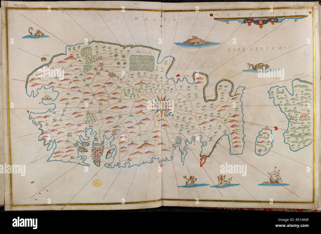
A map of Malta. A maritime atlas of the world, accompanied by special maps of Cyprus, Rhodes, Crete, Malta, Sicily, Sardinia and the Balearic Islands. 1638. Source: Maps 9.Tab.36. Author: Oliva, Johannes.
RMID:Image ID:R514NR
Image details
Contributor:
Album / British Library / Alamy Stock PhotoImage ID:
R514NRFile size:
88.4 MB (3.1 MB Compressed download)Releases:
Model - no | Property - noDo I need a release?Dimensions:
6832 x 4524 px | 57.8 x 38.3 cm | 22.8 x 15.1 inches | 300dpiMore information:
This image could have imperfections as it’s either historical or reportage.