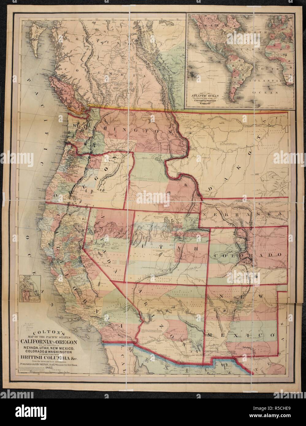
A map California and Oregon, with the territories of Nevada, Utah, New Mexico, Colorado and Washington. Colton's Map of the Pacific States California & Oregon with the territories of Nevada, Utah, New Mexico, Colorado & Washington in connection with British Columbia, etc. New York, 1862. Source: Maps 71495.(60.). Language: English.
RMID:Image ID:R5CHE9
Image details
Contributor:
Album / British Library / Alamy Stock PhotoImage ID:
R5CHE9File size:
77.2 MB (3.3 MB Compressed download)Releases:
Model - no | Property - noDo I need a release?Dimensions:
4552 x 5925 px | 38.5 x 50.2 cm | 15.2 x 19.8 inches | 300dpiMore information:
This image could have imperfections as it’s either historical or reportage.