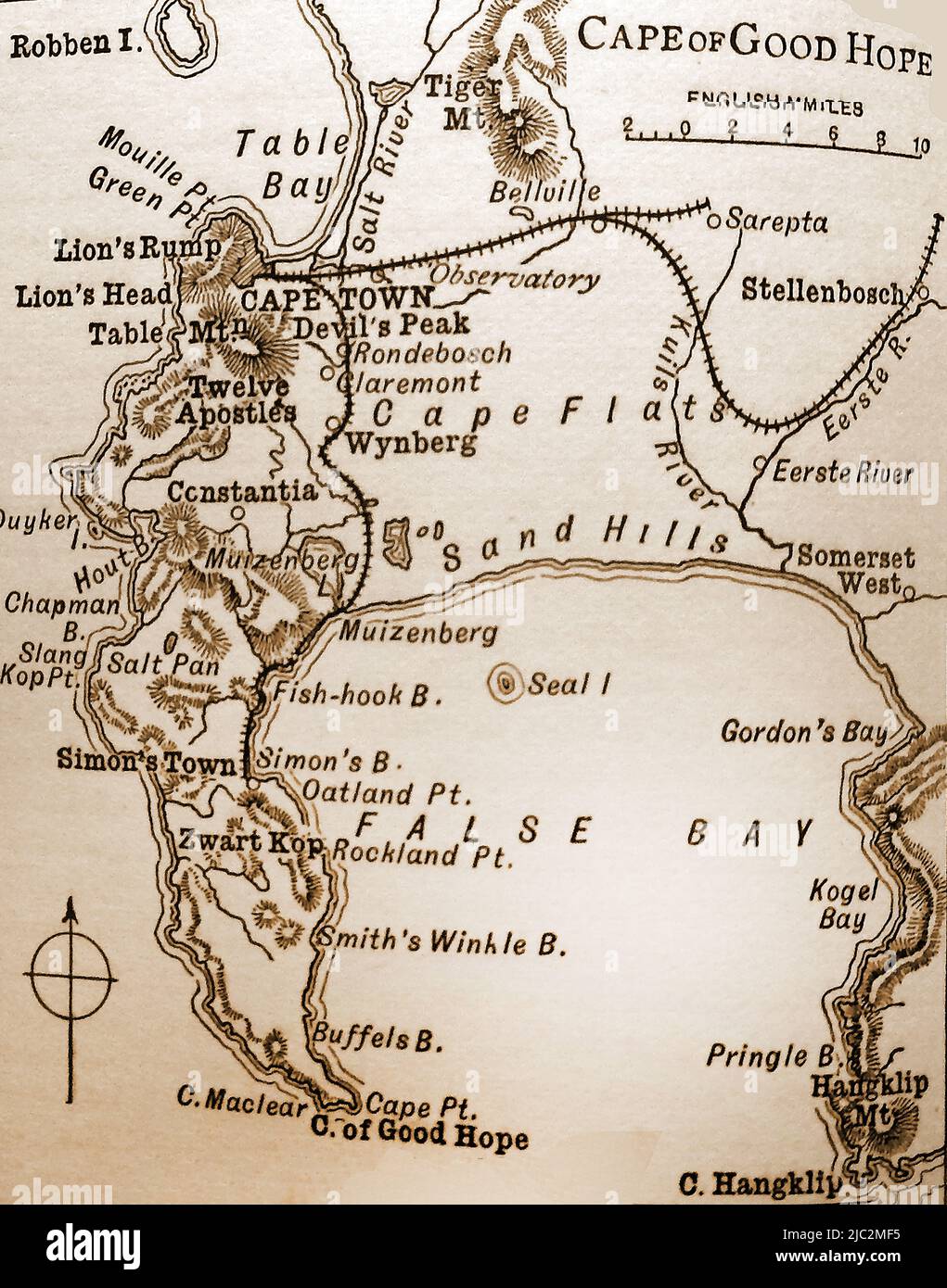
A late 19th century map of the Cape of Good Hope and surrounding areas
RMID:Image ID:2JC2MF5
Image details
Contributor:
Colin Waters / Alamy Stock PhotoImage ID:
2JC2MF5File size:
78.5 MB (2.7 MB Compressed download)Releases:
Model - no | Property - noDo I need a release?Dimensions:
4643 x 5906 px | 39.3 x 50 cm | 15.5 x 19.7 inches | 300dpiDate taken:
7 May 2022More information:
This image could have imperfections as it’s either historical or reportage.