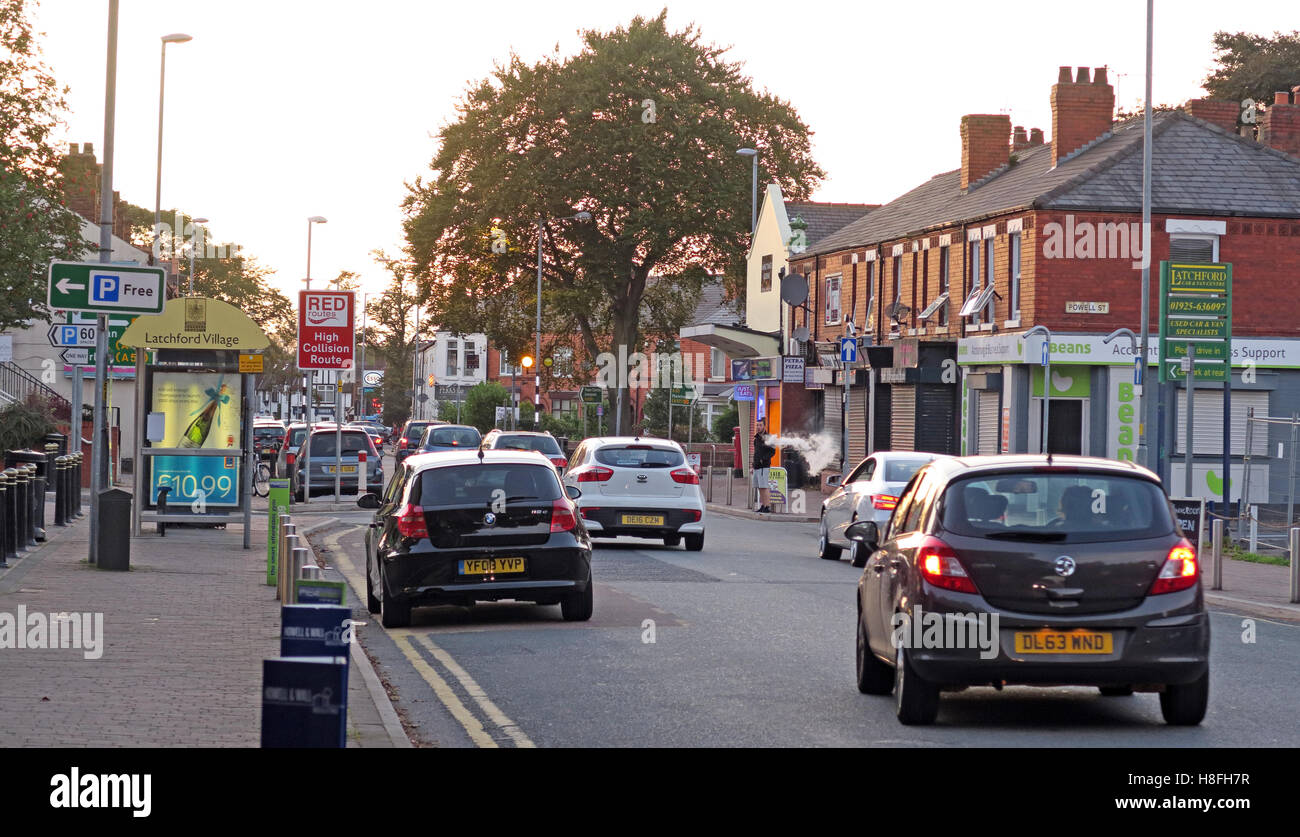
Knutsford Road, Latchford Village, South Warrington, Cheshire, England, UK
RMID:Image ID:H8FH7R
Image details
Contributor:
Tony Smith / Alamy Stock PhotoImage ID:
H8FH7RFile size:
38.9 MB (2.1 MB Compressed download)Releases:
Model - no | Property - noDo I need a release?Dimensions:
4860 x 2796 px | 41.1 x 23.7 cm | 16.2 x 9.3 inches | 300dpiDate taken:
17 September 2016More information:
Latchford is a suburb and electoral ward of Warrington, Cheshire, England. It is around one mile south-east of Warrington town centre and has a total resident population of 7, 856. Latchford is a predominantly residential area, Latchford lies between the River Mersey and the Manchester Ship Canal, and broadly consists of 19th-century terraced housing and some open space. The canal is crossed here by a swing bridge, a high level road bridge and the now disused Latchford railway viaduct. Its name came from Anglo-Saxon Læccford = "Boggy-stream ford".