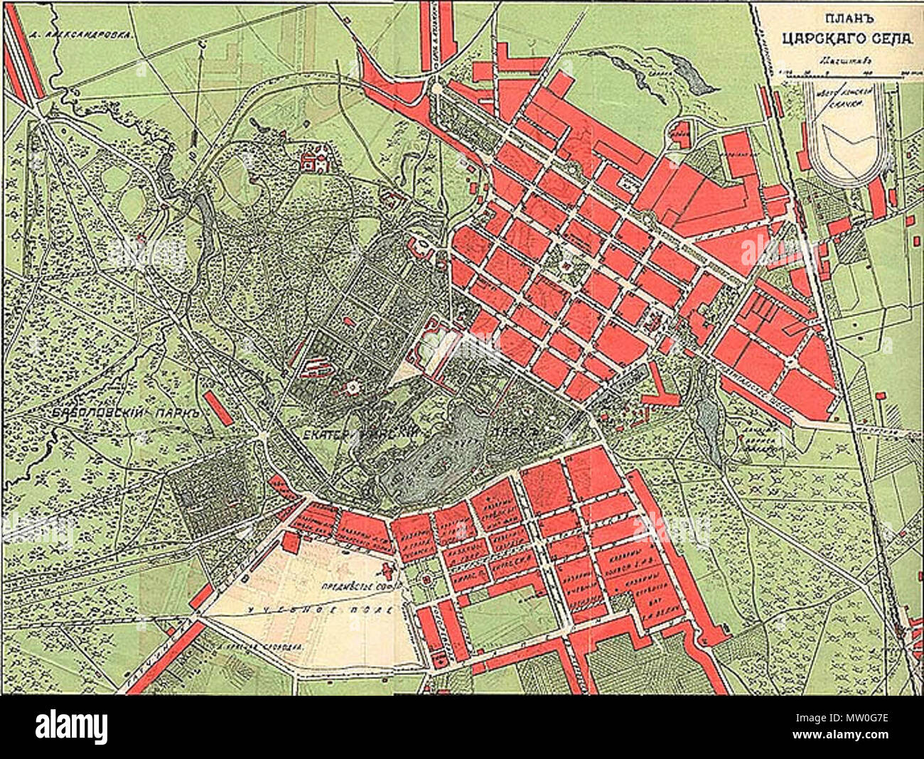
. Русский: Карта Царскаго Села. План Царского Села. СПб, 1912 English: Map of Tsarskoye Selo (Russia) Français : Carte de Tsarskoïe Selo. Español: Mapa de Tsárskoye Seló. Deutsch: Karte der Zarskoje Selo. 1912. Unknown 487 Plan Tsarskoe Selo 1912
RMID:Image ID:MW0G7E
Image details
Contributor:
The Picture Art Collection / Alamy Stock PhotoImage ID:
MW0G7EFile size:
14.3 MB (1.2 MB Compressed download)Releases:
Model - no | Property - noDo I need a release?Dimensions:
2577 x 1940 px | 21.8 x 16.4 cm | 8.6 x 6.5 inches | 300dpiMore information:
This image is a public domain image, which means either that copyright has expired in the image or the copyright holder has waived their copyright. Alamy charges you a fee for access to the high resolution copy of the image.
This image could have imperfections as it’s either historical or reportage.