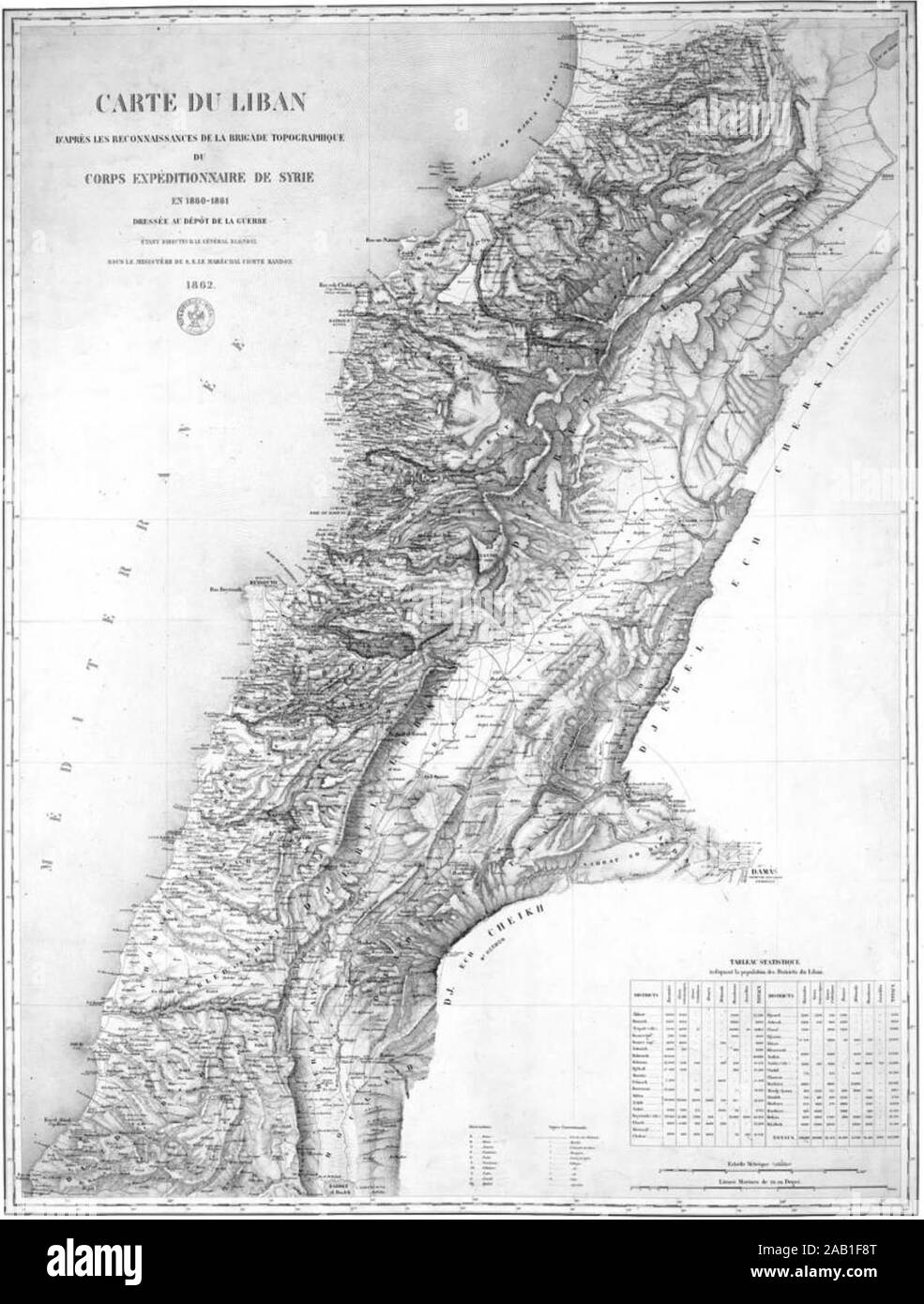
1862 map drawn by the French expedition of Beaufort d'Hautpoul
RMID:Image ID:2AB1F8T
Image details
Contributor:
FLHC14 / Alamy Stock PhotoImage ID:
2AB1F8TFile size:
6.9 MB (317.6 KB Compressed download)Releases:
Model - no | Property - noDo I need a release?Dimensions:
1348 x 1778 px | 22.8 x 30.1 cm | 9 x 11.9 inches | 150dpiMore information:
This image could have imperfections as it’s either historical or reportage.
Map of Lebanon according to the reconnaissance of the topographical brigade of the Syrian expeditionary corps in 1860-1861 drawn up at the war depot.