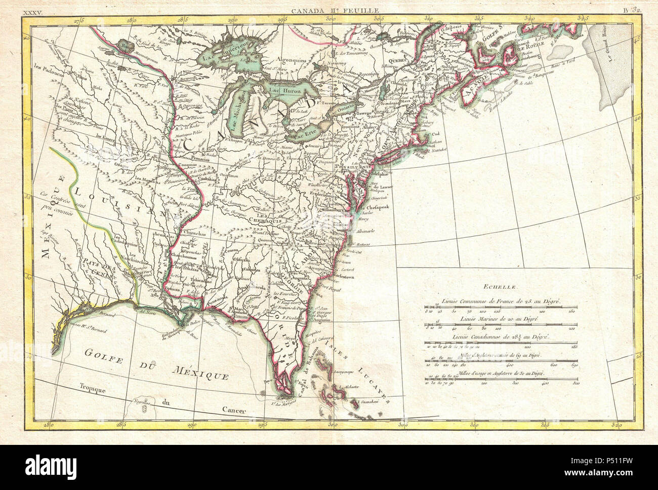
1776 Bonne Map of Louisiana and the British Colonies in North America - Geographicus - NorthAmericaEast-bonne-1776.
RMID:Image ID:P511FW
Image details
Contributor:
Archive World / Alamy Stock PhotoImage ID:
P511FWFile size:
5.7 MB (554.6 KB Compressed download)Releases:
Model - no | Property - noDo I need a release?Dimensions:
1721 x 1162 px | 29.1 x 19.7 cm | 11.5 x 7.7 inches | 150dpiMore information:
This image is a public domain image, which means either that copyright has expired in the image or the copyright holder has waived their copyright. Alamy charges you a fee for access to the high resolution copy of the image.
This image could have imperfections as it’s either historical or reportage.