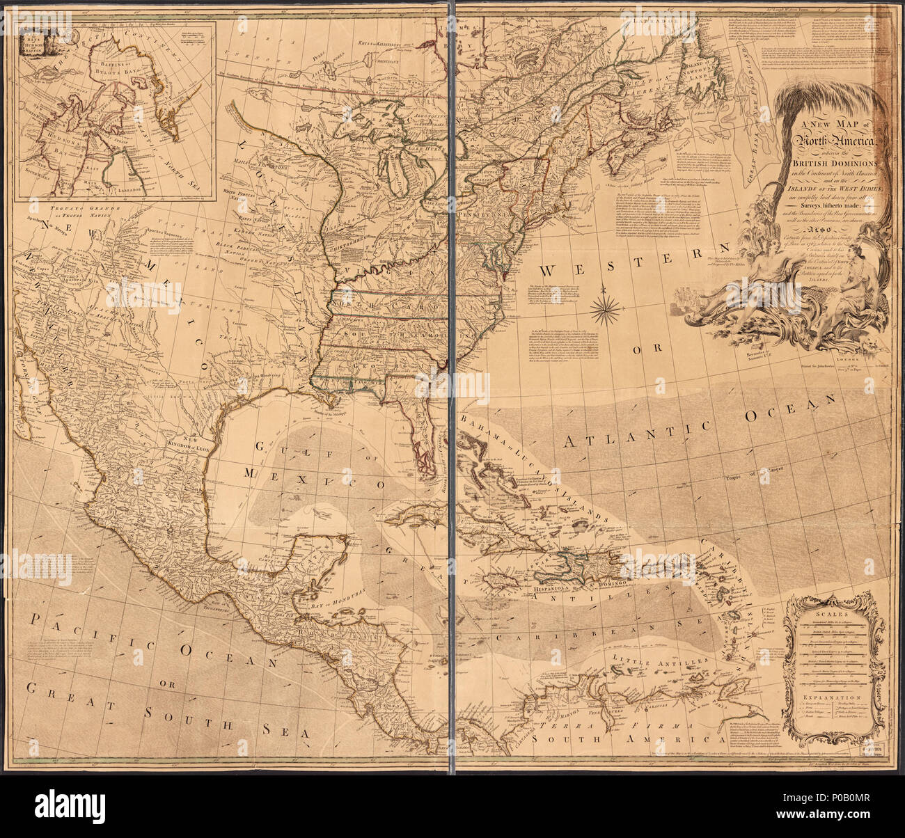
154 A new map of North America wherein the British Dominions in the continent of North America, and on the islands of the West Indies, are carefully laid down from all the surveys, hitherto made; and the LOC 77692819
RMID:Image ID:P0B0MR
Image details
Contributor:
The Picture Art Collection / Alamy Stock PhotoImage ID:
P0B0MRFile size:
14.3 MB (1.4 MB Compressed download)Releases:
Model - no | Property - noDo I need a release?Dimensions:
2415 x 2070 px | 40.9 x 35.1 cm | 16.1 x 13.8 inches | 150dpiMore information:
This image is a public domain image, which means either that copyright has expired in the image or the copyright holder has waived their copyright. Alamy charges you a fee for access to the high resolution copy of the image.
This image could have imperfections as it’s either historical or reportage.