Quick filters:
World geography Stock Photos and Images
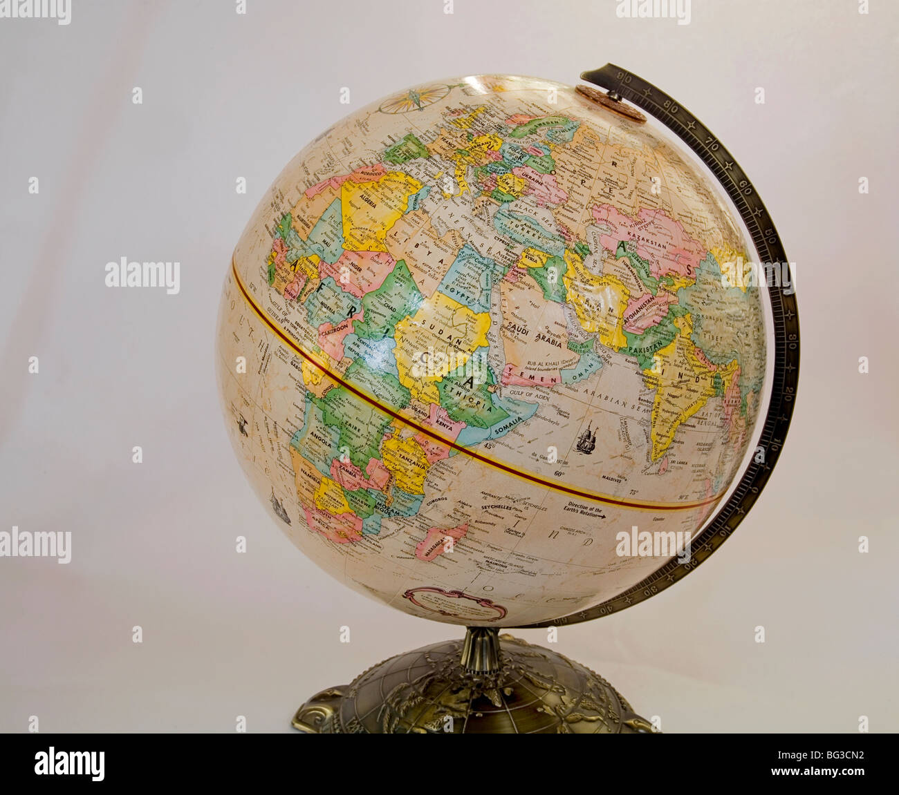 World Globe Globe Earth World Map of the World geography Stock Photohttps://www.alamy.com/image-license-details/?v=1https://www.alamy.com/stock-photo-world-globe-globe-earth-world-map-of-the-world-geography-27120718.html
RMBG3CN2–World Globe Globe Earth World Map of the World geography
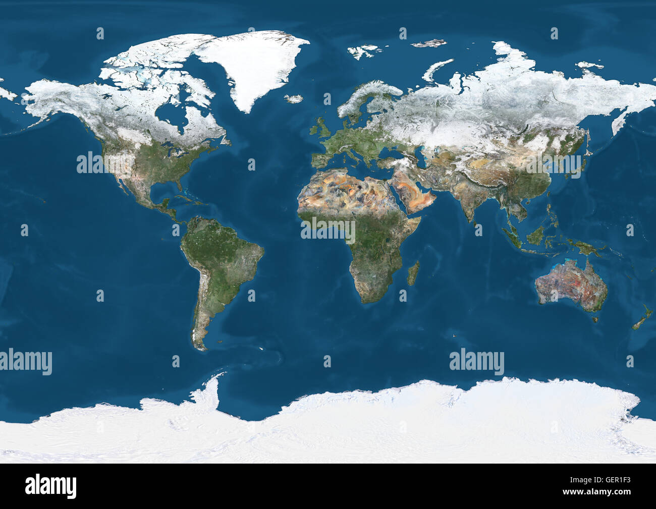 World Satellite Map in winter, with partial snow cover. This image was compiled from data acquired by Landsat 7 & 8 satellites. Stock Photohttps://www.alamy.com/image-license-details/?v=1https://www.alamy.com/stock-photo-world-satellite-map-in-winter-with-partial-snow-cover-this-image-was-112373495.html
RMGER1F3–World Satellite Map in winter, with partial snow cover. This image was compiled from data acquired by Landsat 7 & 8 satellites.
 A happy world earth day heart mascot globe cartoon character giving thumbs up Stock Photohttps://www.alamy.com/image-license-details/?v=1https://www.alamy.com/stock-photo-a-happy-world-earth-day-heart-mascot-globe-cartoon-character-giving-105113607.html
RFG309DB–A happy world earth day heart mascot globe cartoon character giving thumbs up
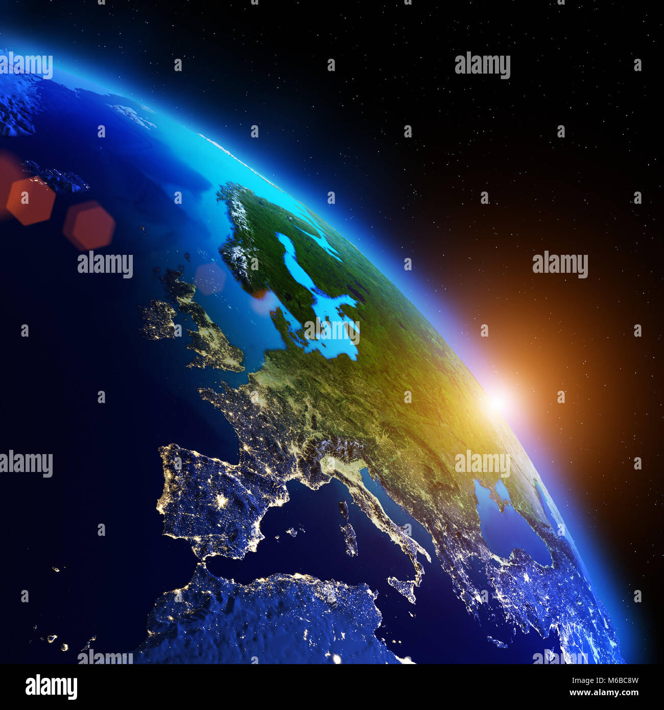 World geography 3d rendering planet Stock Photohttps://www.alamy.com/image-license-details/?v=1https://www.alamy.com/stock-photo-world-geography-3d-rendering-planet-176042745.html
RFM6BC8W–World geography 3d rendering planet
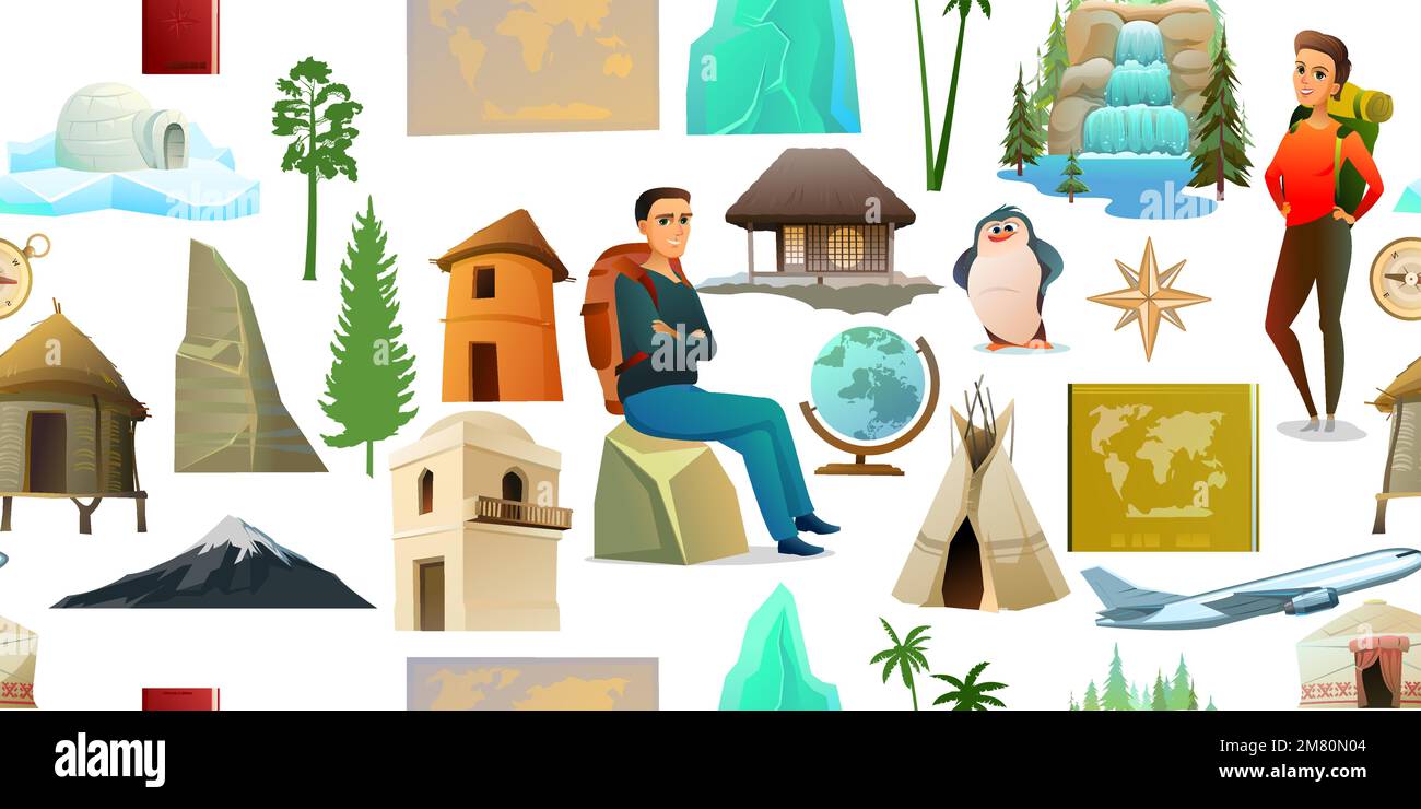 World geography items seamless pattern. Cartoon style. Travel items and plants trees of climatic zones. Dwellings of different peoples of countries Stock Vectorhttps://www.alamy.com/image-license-details/?v=1https://www.alamy.com/world-geography-items-seamless-pattern-cartoon-style-travel-items-and-plants-trees-of-climatic-zones-dwellings-of-different-peoples-of-countries-image504034388.html
RF2M80N04–World geography items seamless pattern. Cartoon style. Travel items and plants trees of climatic zones. Dwellings of different peoples of countries
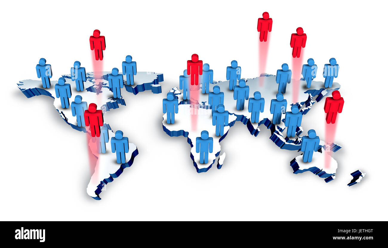 Global recruitment and international business hiring concept as a group of people icons on a world geography with red employees. Stock Photohttps://www.alamy.com/image-license-details/?v=1https://www.alamy.com/stock-photo-global-recruitment-and-international-business-hiring-concept-as-a-146828776.html
RFJETHGT–Global recruitment and international business hiring concept as a group of people icons on a world geography with red employees.
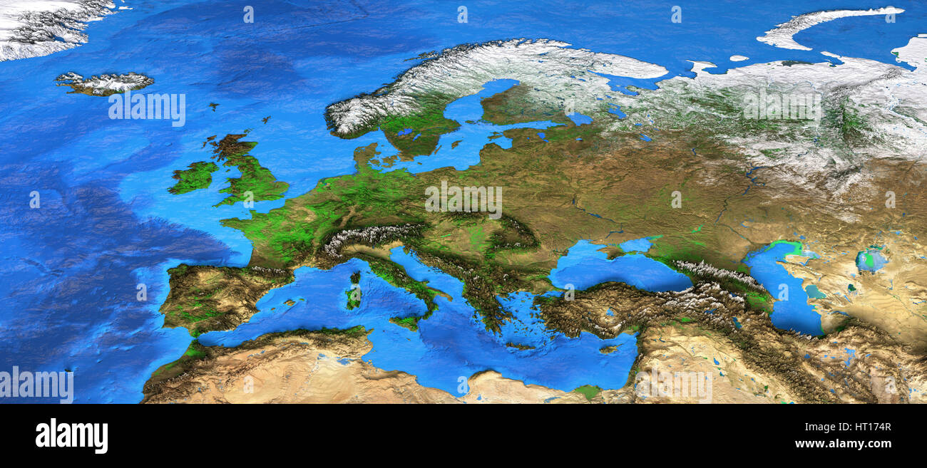 Detailed satellite view of the Earth and its landforms. Europe map. Elements of this image furnished by NASA Stock Photohttps://www.alamy.com/image-license-details/?v=1https://www.alamy.com/stock-photo-detailed-satellite-view-of-the-earth-and-its-landforms-europe-map-135251895.html
RFHT174R–Detailed satellite view of the Earth and its landforms. Europe map. Elements of this image furnished by NASA
 vector high detailed world map illustration Stock Vectorhttps://www.alamy.com/image-license-details/?v=1https://www.alamy.com/vector-high-detailed-world-map-illustration-image245982198.html
RFT85CPE–vector high detailed world map illustration
 Two miniature figures explore a globe against a black background, highlighting global awareness and curiosity about geography Stock Photohttps://www.alamy.com/image-license-details/?v=1https://www.alamy.com/stock-photo-two-miniature-figures-explore-a-globe-against-a-black-background-highlighting-35817594.html
RMC27HKP–Two miniature figures explore a globe against a black background, highlighting global awareness and curiosity about geography
 The modern school student in the classroom using a digital device or tablet to work on or research with. Geographical, political theme with colored ma Stock Photohttps://www.alamy.com/image-license-details/?v=1https://www.alamy.com/the-modern-school-student-in-the-classroom-using-a-digital-device-or-tablet-to-work-on-or-research-with-geographical-political-theme-with-colored-ma-image364508454.html
RF2C50P72–The modern school student in the classroom using a digital device or tablet to work on or research with. Geographical, political theme with colored ma
RF2AYYDHP–Vector black earth globe icons. Planet globe monochrome and world globe of set illustration
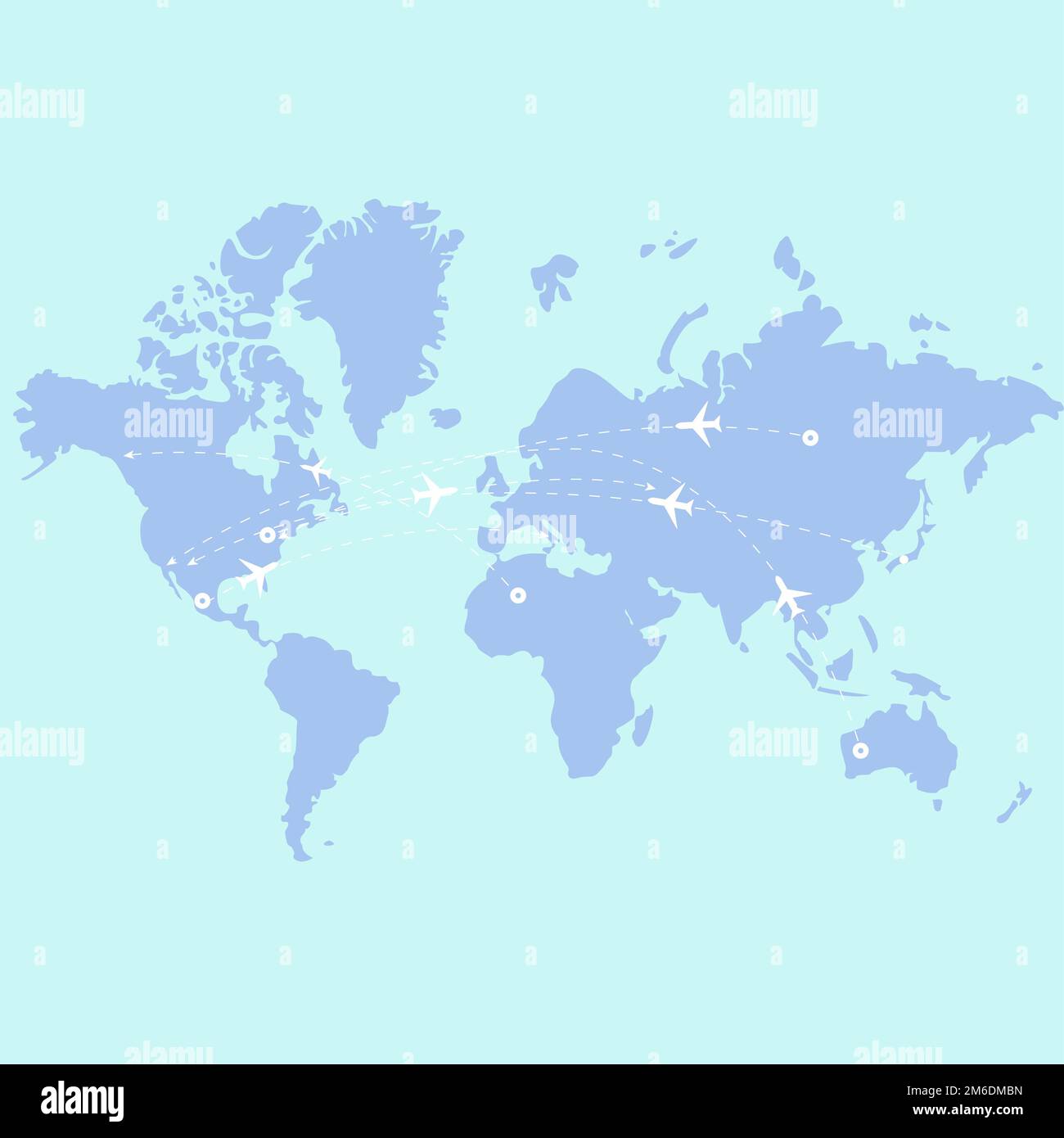 Vector world map with planes geography Europe travel flat design airplane Stock Photohttps://www.alamy.com/image-license-details/?v=1https://www.alamy.com/vector-world-map-with-planes-geography-europe-travel-flat-design-airplane-image503089993.html
RF2M6DMBN–Vector world map with planes geography Europe travel flat design airplane
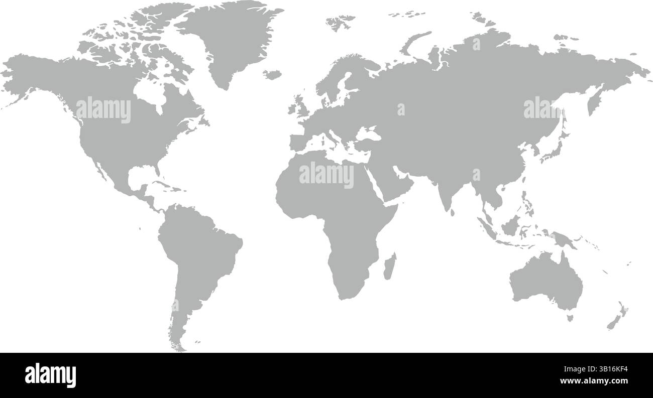 Flat Grey World Map Vector – Global Geography Illustration Stock Vectorhttps://www.alamy.com/image-license-details/?v=1https://www.alamy.com/flat-grey-world-map-vector-global-geography-illustration-image671966040.html
RF3B16KF4–Flat Grey World Map Vector – Global Geography Illustration
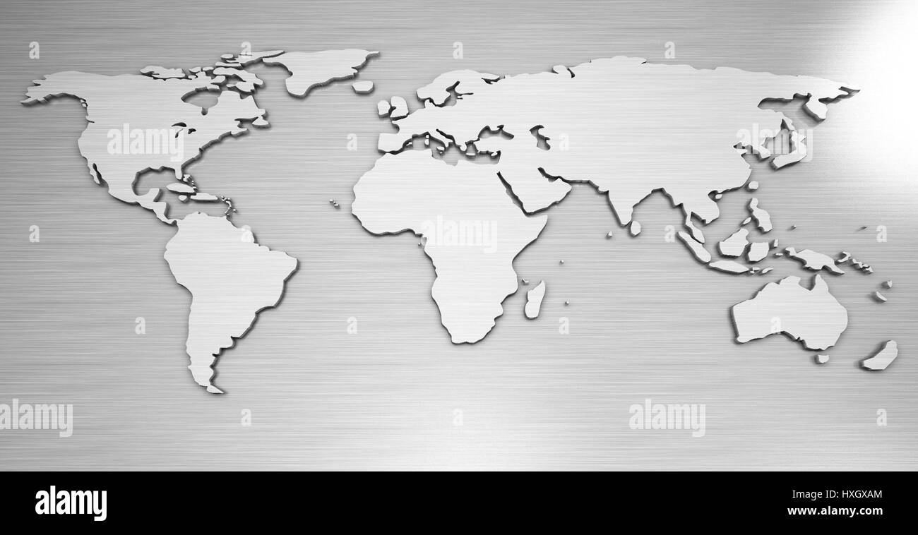 world map metal Stock Photohttps://www.alamy.com/image-license-details/?v=1https://www.alamy.com/stock-photo-world-map-metal-136825548.html
RFHXGXAM–world map metal
 Cartoon world globe pointing with his finger Stock Vectorhttps://www.alamy.com/image-license-details/?v=1https://www.alamy.com/cartoon-world-globe-pointing-with-his-finger-image360167140.html
RF2BWY0T4–Cartoon world globe pointing with his finger
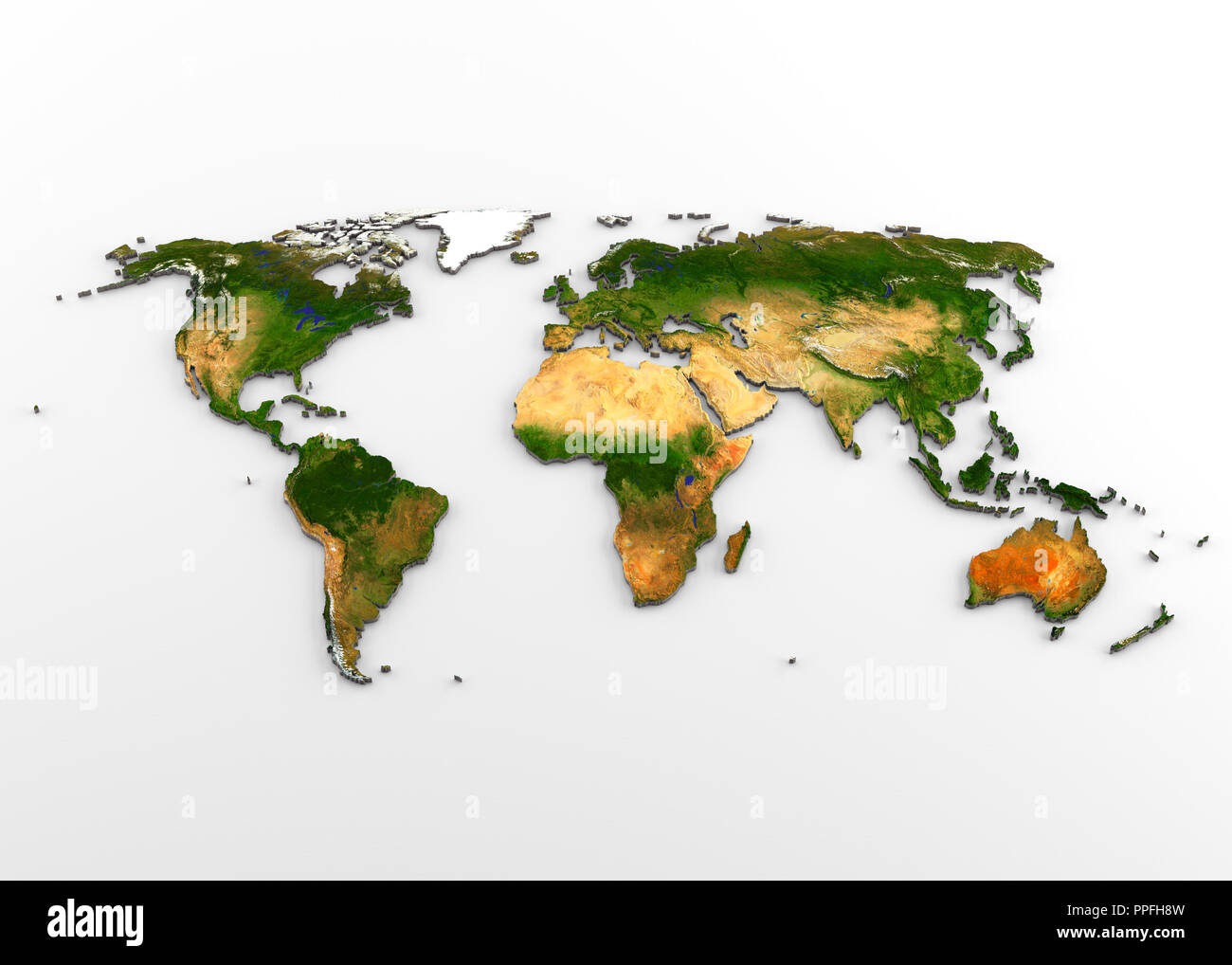 3D rendering of extruded high-resolution physical map (with relief) of the World, isolated on white background. Stock Photohttps://www.alamy.com/image-license-details/?v=1https://www.alamy.com/3d-rendering-of-extruded-high-resolution-physical-map-with-relief-of-the-world-isolated-on-white-background-image220389705.html
RFPPFH8W–3D rendering of extruded high-resolution physical map (with relief) of the World, isolated on white background.
 Magnifying glass on world atlas with globe nearby, symbolizing global exploration, travel planning, geographic research, and a deeper understanding of Stock Photohttps://www.alamy.com/image-license-details/?v=1https://www.alamy.com/magnifying-glass-on-world-atlas-with-globe-nearby-symbolizing-global-exploration-travel-planning-geographic-research-and-a-deeper-understanding-of-image630793483.html
RF2YJ73EK–Magnifying glass on world atlas with globe nearby, symbolizing global exploration, travel planning, geographic research, and a deeper understanding of
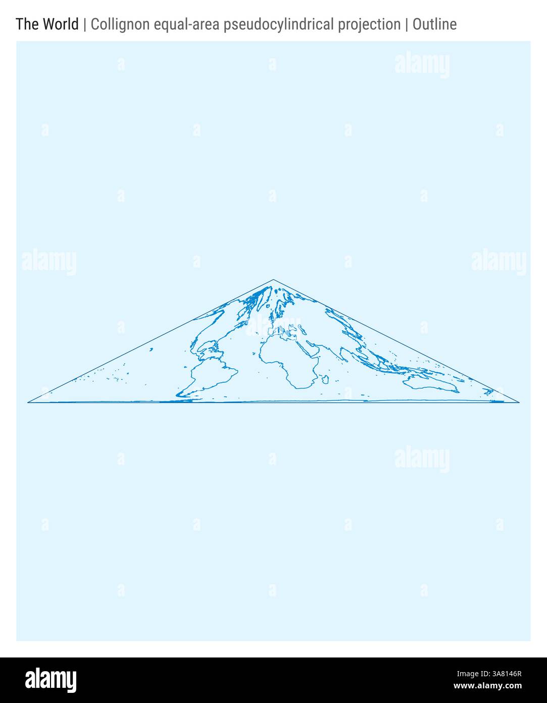 World Map. Collignon equal-area pseudocylindrical projection. Outline style. Stock Vectorhttps://www.alamy.com/image-license-details/?v=1https://www.alamy.com/world-map-collignon-equal-area-pseudocylindrical-projection-outline-style-image658936511.html
RF3A8146R–World Map. Collignon equal-area pseudocylindrical projection. Outline style.
RF3BPE6KW–Nine colorful icon pins are floating above flat design blue world map with gradient sky
 Flat lay composition with inscription world geography and colorful pencils. Education and travel concept. Stock Photohttps://www.alamy.com/image-license-details/?v=1https://www.alamy.com/flat-lay-composition-with-inscription-world-geography-and-colorful-pencils-education-and-travel-concept-image471104895.html
RF2JACK2R–Flat lay composition with inscription world geography and colorful pencils. Education and travel concept.
RFW6PD4J–simple globe icon set and internet symbol vector illustration
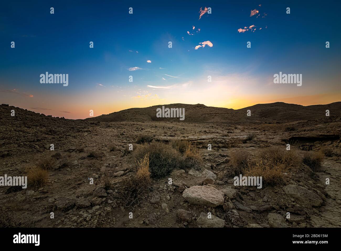 Edge of the World, a natural landmark and popular tourist destination near Riyadh -Saudi Arabia. Stock Photohttps://www.alamy.com/image-license-details/?v=1https://www.alamy.com/edge-of-the-world-a-natural-landmark-and-popular-tourist-destination-near-riyadh-saudi-arabia-image352330544.html
RF2BD615M–Edge of the World, a natural landmark and popular tourist destination near Riyadh -Saudi Arabia.
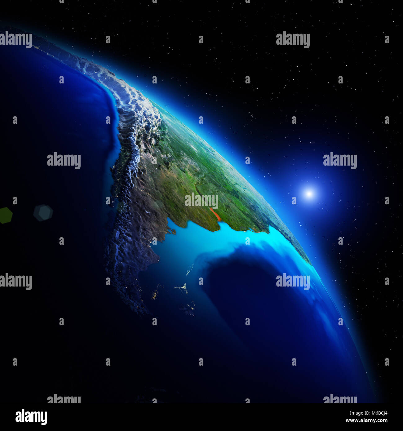 World geography 3d rendering space Stock Photohttps://www.alamy.com/image-license-details/?v=1https://www.alamy.com/stock-photo-world-geography-3d-rendering-space-176043004.html
RFM6BCJ4–World geography 3d rendering space
 World geography. Seamless bottom border. Cartoon style. Travel items and plants trees of climatic zones. Dwellings of different peoples of countries Stock Vectorhttps://www.alamy.com/image-license-details/?v=1https://www.alamy.com/world-geography-seamless-bottom-border-cartoon-style-travel-items-and-plants-trees-of-climatic-zones-dwellings-of-different-peoples-of-countries-image495843397.html
RF2KPKH8N–World geography. Seamless bottom border. Cartoon style. Travel items and plants trees of climatic zones. Dwellings of different peoples of countries
 Let me try find it...A young teacher holding a globe of the world during geography. Stock Photohttps://www.alamy.com/image-license-details/?v=1https://www.alamy.com/let-me-try-find-ita-young-teacher-holding-a-globe-of-the-world-during-geography-image484448041.html
RF2K44EBN–Let me try find it...A young teacher holding a globe of the world during geography.
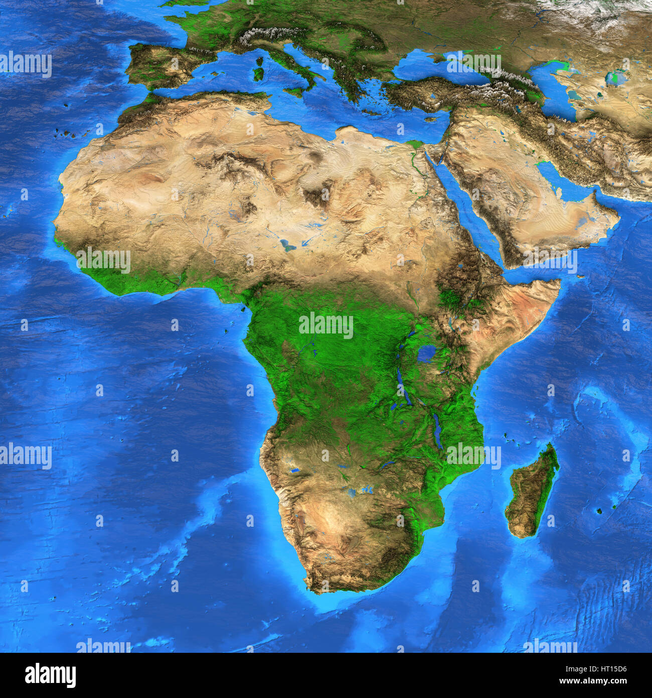 Detailed satellite view of the Earth and its landforms. Africa map. Elements of this image furnished by NASA Stock Photohttps://www.alamy.com/image-license-details/?v=1https://www.alamy.com/stock-photo-detailed-satellite-view-of-the-earth-and-its-landforms-africa-map-135250562.html
RFHT15D6–Detailed satellite view of the Earth and its landforms. Africa map. Elements of this image furnished by NASA
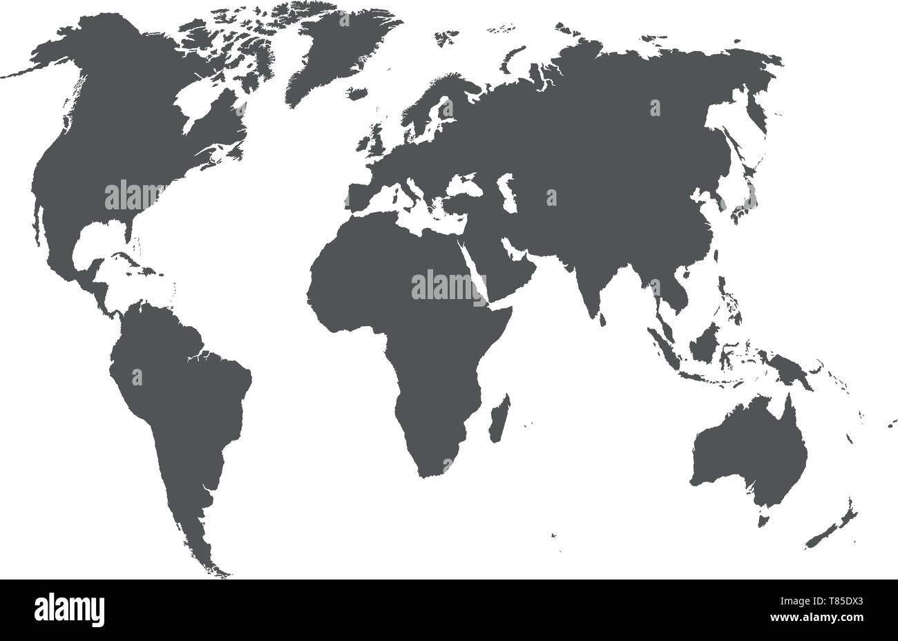 vector high detailed world map illustration Stock Vectorhttps://www.alamy.com/image-license-details/?v=1https://www.alamy.com/vector-high-detailed-world-map-illustration-image245983083.html
RFT85DX3–vector high detailed world map illustration
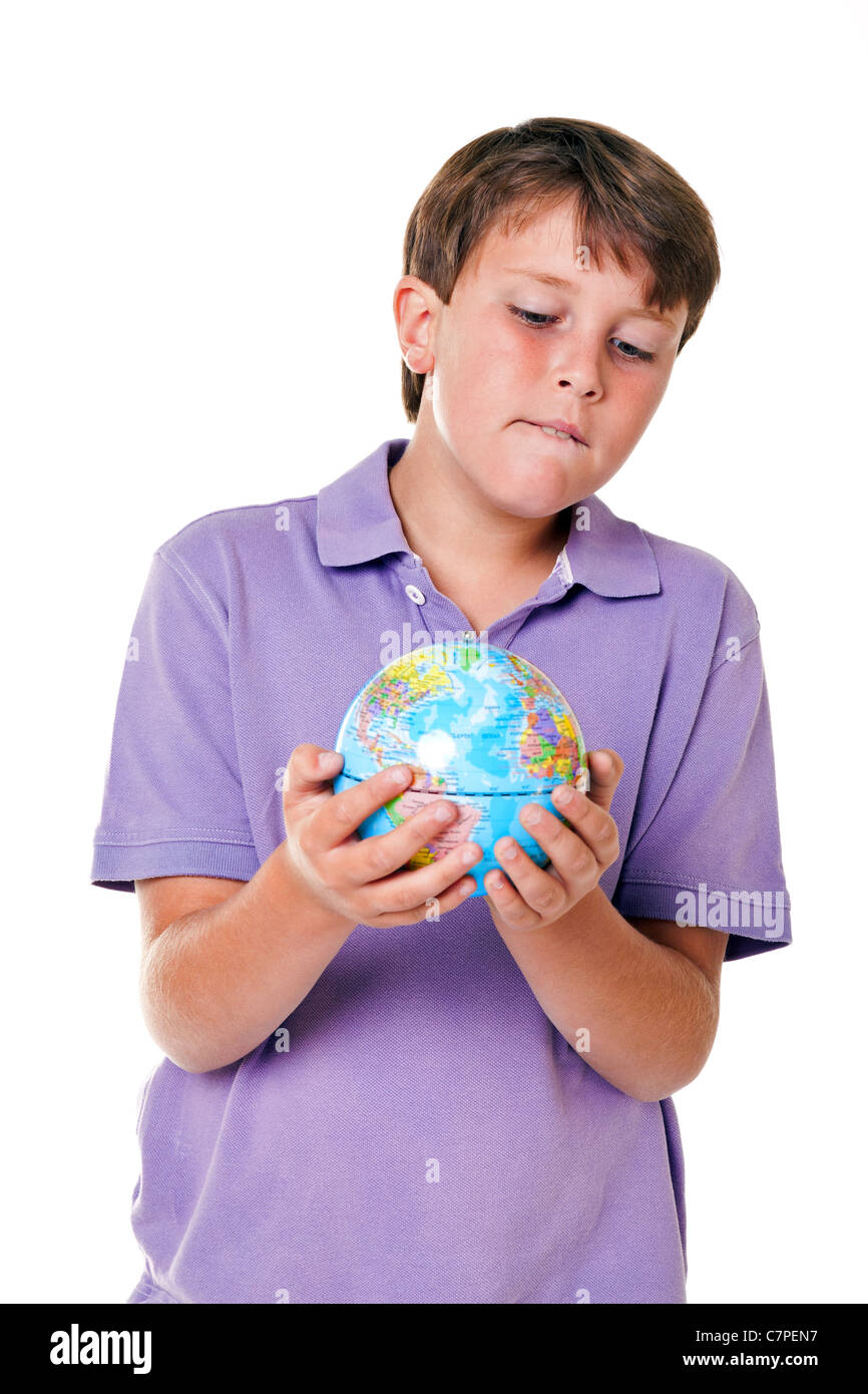 Photo of an 11 year old school boy holding a world globe, isolated on a white background. Stock Photohttps://www.alamy.com/image-license-details/?v=1https://www.alamy.com/stock-photo-photo-of-an-11-year-old-school-boy-holding-a-world-globe-isolated-39217843.html
RFC7PEN7–Photo of an 11 year old school boy holding a world globe, isolated on a white background.
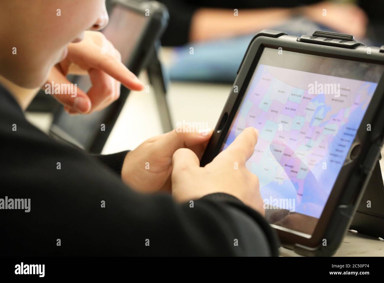 The modern school student. Two anonymous students look at and point at a State map of the US or America displayed on a digital online device or tablet Stock Photohttps://www.alamy.com/image-license-details/?v=1https://www.alamy.com/the-modern-school-student-two-anonymous-students-look-at-and-point-at-a-state-map-of-the-us-or-america-displayed-on-a-digital-online-device-or-tablet-image364508456.html
RF2C50P74–The modern school student. Two anonymous students look at and point at a State map of the US or America displayed on a digital online device or tablet
 Roughly sketched out world map as global business concepts Stock Photohttps://www.alamy.com/image-license-details/?v=1https://www.alamy.com/roughly-sketched-out-world-map-as-global-business-concepts-image644144060.html
RF2SBY890–Roughly sketched out world map as global business concepts
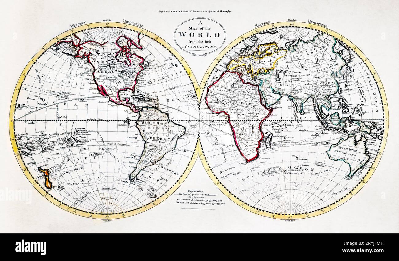 A Map of the World from the best Authorities (1795) from Carey's American Edition of Guthrie's Geography Improved. Stock Photohttps://www.alamy.com/image-license-details/?v=1https://www.alamy.com/a-map-of-the-world-from-the-best-authorities-1795-from-careys-american-edition-of-guthries-geography-improved-image567734961.html
RM2RYJFMH–A Map of the World from the best Authorities (1795) from Carey's American Edition of Guthrie's Geography Improved.
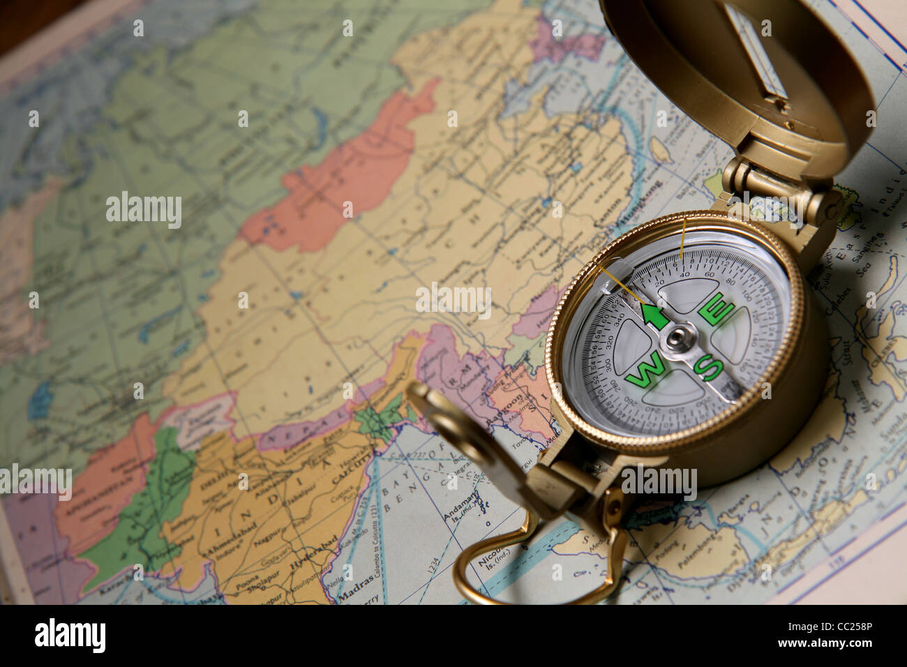 A compass on the world map of the atlas. Stock Photohttps://www.alamy.com/image-license-details/?v=1https://www.alamy.com/stock-photo-a-compass-on-the-world-map-of-the-atlas-41844678.html
RFCC258P–A compass on the world map of the atlas.
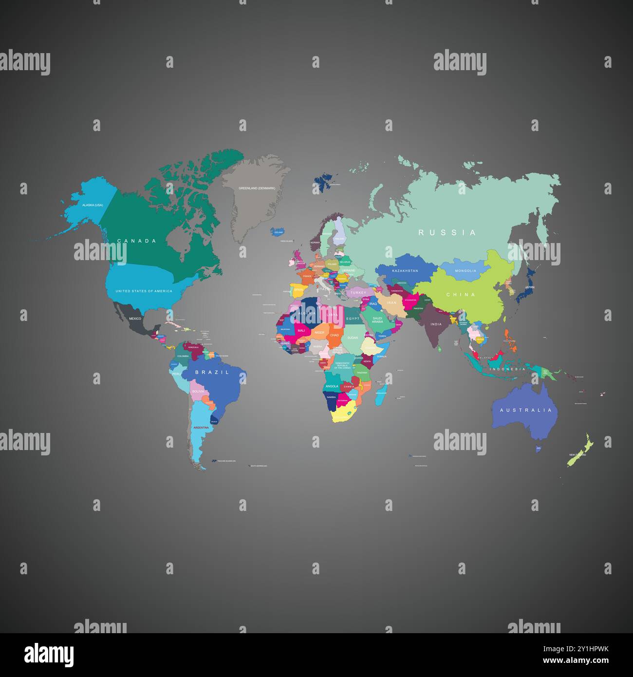 World Map with Province Unique Color Illustration Art Stock Vectorhttps://www.alamy.com/image-license-details/?v=1https://www.alamy.com/world-map-with-province-unique-color-illustration-art-image620579055.html
RF2Y1HPWK–World Map with Province Unique Color Illustration Art
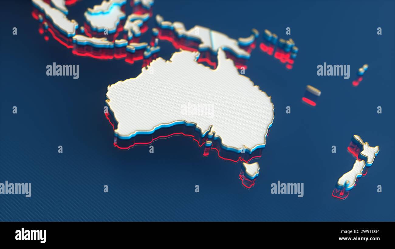 White World Map with Australia Continent, Gold Borders and Red Outline on Blue Background. 3D Render Illustration. Stock Photohttps://www.alamy.com/image-license-details/?v=1https://www.alamy.com/white-world-map-with-australia-continent-gold-borders-and-red-outline-on-blue-background-3d-render-illustration-image591221544.html
RF2W9TD34–White World Map with Australia Continent, Gold Borders and Red Outline on Blue Background. 3D Render Illustration.
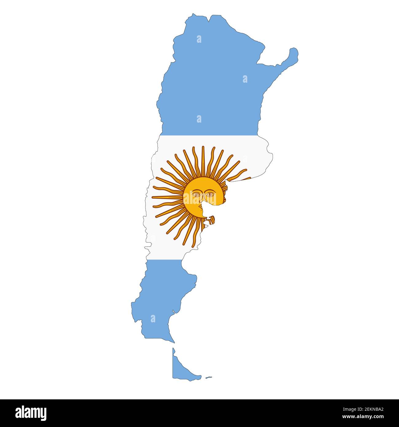 Argentina map on white background with clipping path Stock Photohttps://www.alamy.com/image-license-details/?v=1https://www.alamy.com/argentina-map-on-white-background-with-clipping-path-image407986826.html
RF2EKNBA2–Argentina map on white background with clipping path
 Cute brown almond carrying maps in his hand, illustration, vector on white background. Stock Vectorhttps://www.alamy.com/image-license-details/?v=1https://www.alamy.com/cute-brown-almond-carrying-maps-in-his-hand-illustration-vector-on-white-background-image246293634.html
RFT8KJ16–Cute brown almond carrying maps in his hand, illustration, vector on white background.
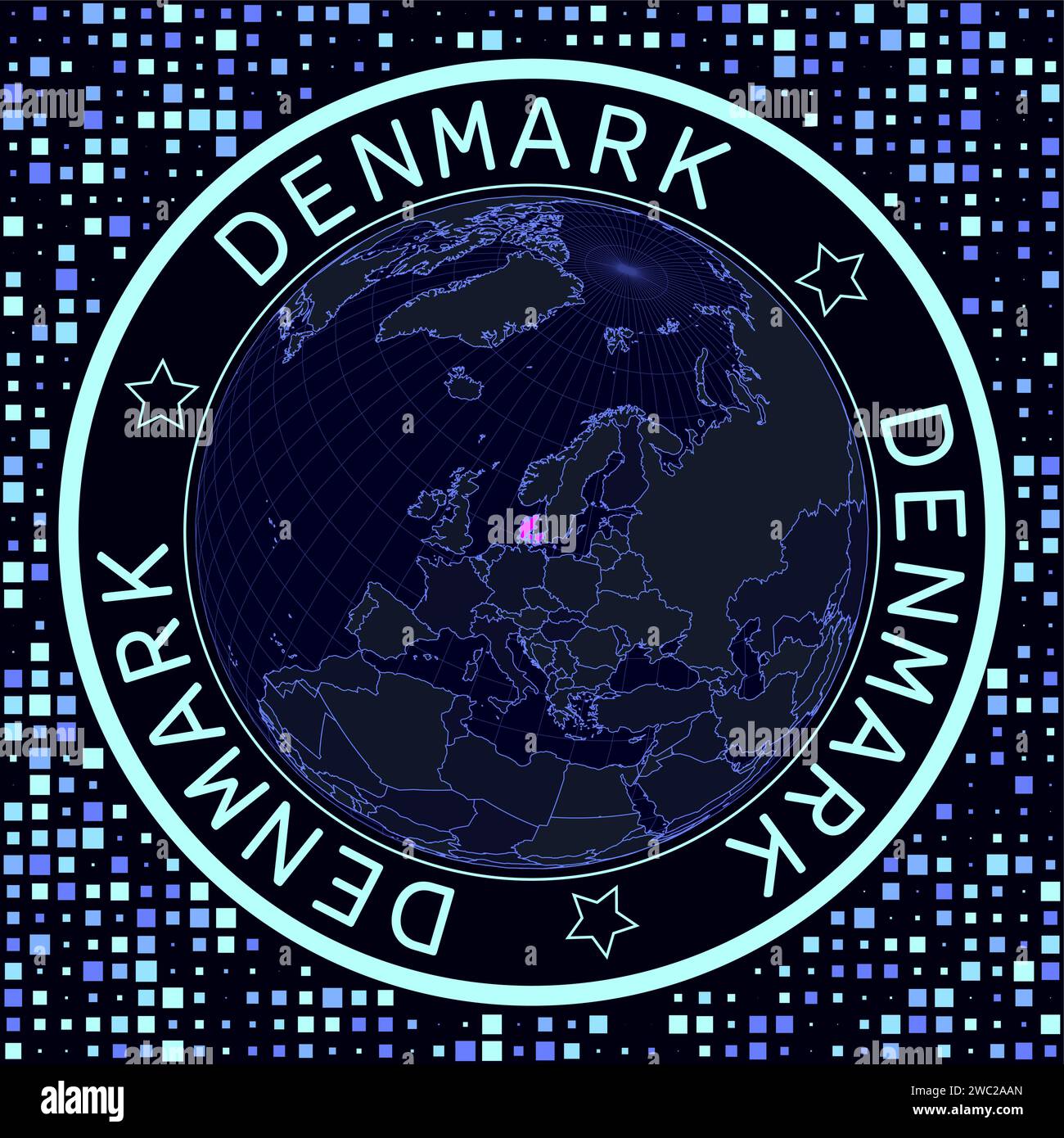 Denmark on globe vector. Futuristic satellite view of the world centered to Denmark. Stock Vectorhttps://www.alamy.com/image-license-details/?v=1https://www.alamy.com/denmark-on-globe-vector-futuristic-satellite-view-of-the-world-centered-to-denmark-image592580429.html
RF2WC2AAN–Denmark on globe vector. Futuristic satellite view of the world centered to Denmark.
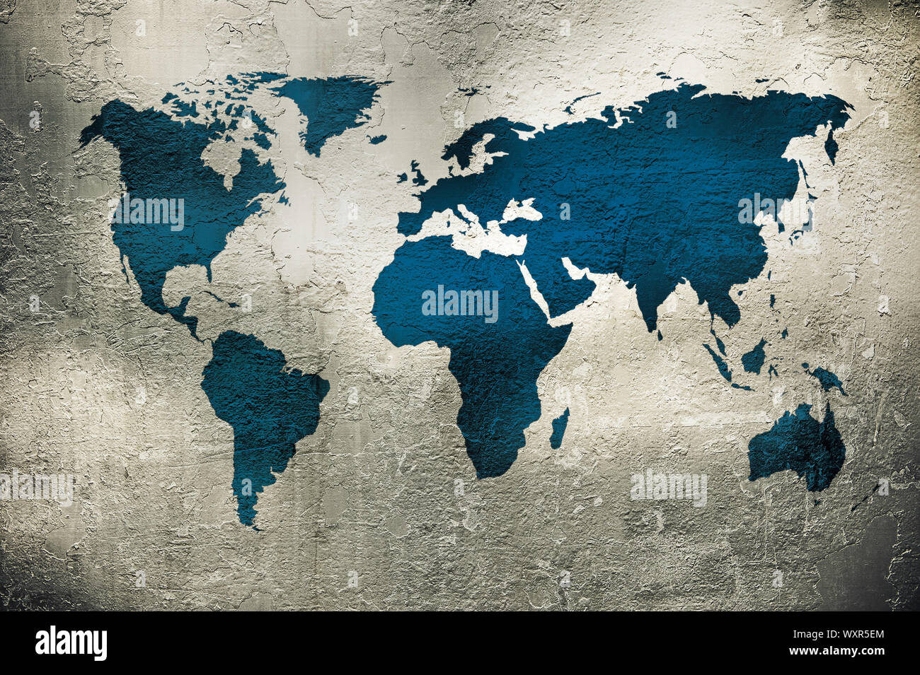 grunge map of the world over metal texture Stock Photohttps://www.alamy.com/image-license-details/?v=1https://www.alamy.com/grunge-map-of-the-world-over-metal-texture-image274645804.html
RFWXR5EM–grunge map of the world over metal texture
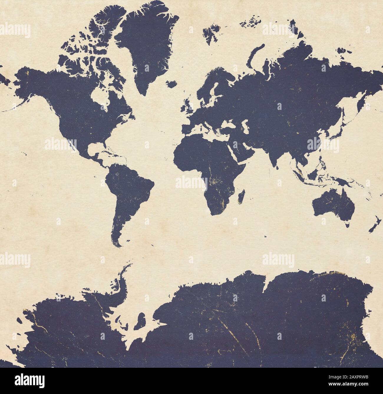 Planisphere of the world ultra defined with Antarctica, paper effect and peeling plaster. Stock Photohttps://www.alamy.com/image-license-details/?v=1https://www.alamy.com/planisphere-of-the-world-ultra-defined-with-antarctica-paper-effect-and-peeling-plaster-image343479735.html
RF2AXPRWB–Planisphere of the world ultra defined with Antarctica, paper effect and peeling plaster.
RFW6RGXE–simple flat internet www icon with globe and mouse pointer vector illustration
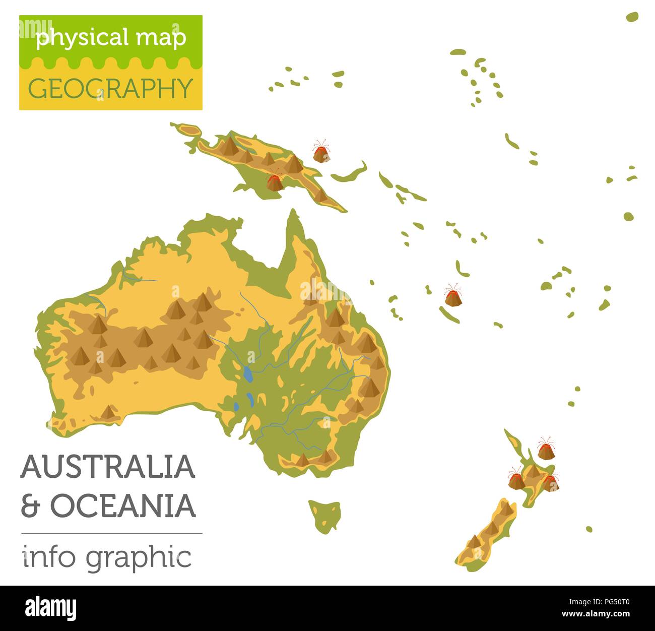 Australia and Oceania physical map elements. Build your own geography info graphic collection. Vector illustration Stock Vectorhttps://www.alamy.com/image-license-details/?v=1https://www.alamy.com/australia-and-oceania-physical-map-elements-build-your-own-geography-info-graphic-collection-vector-illustration-image216469344.html
RFPG50T0–Australia and Oceania physical map elements. Build your own geography info graphic collection. Vector illustration
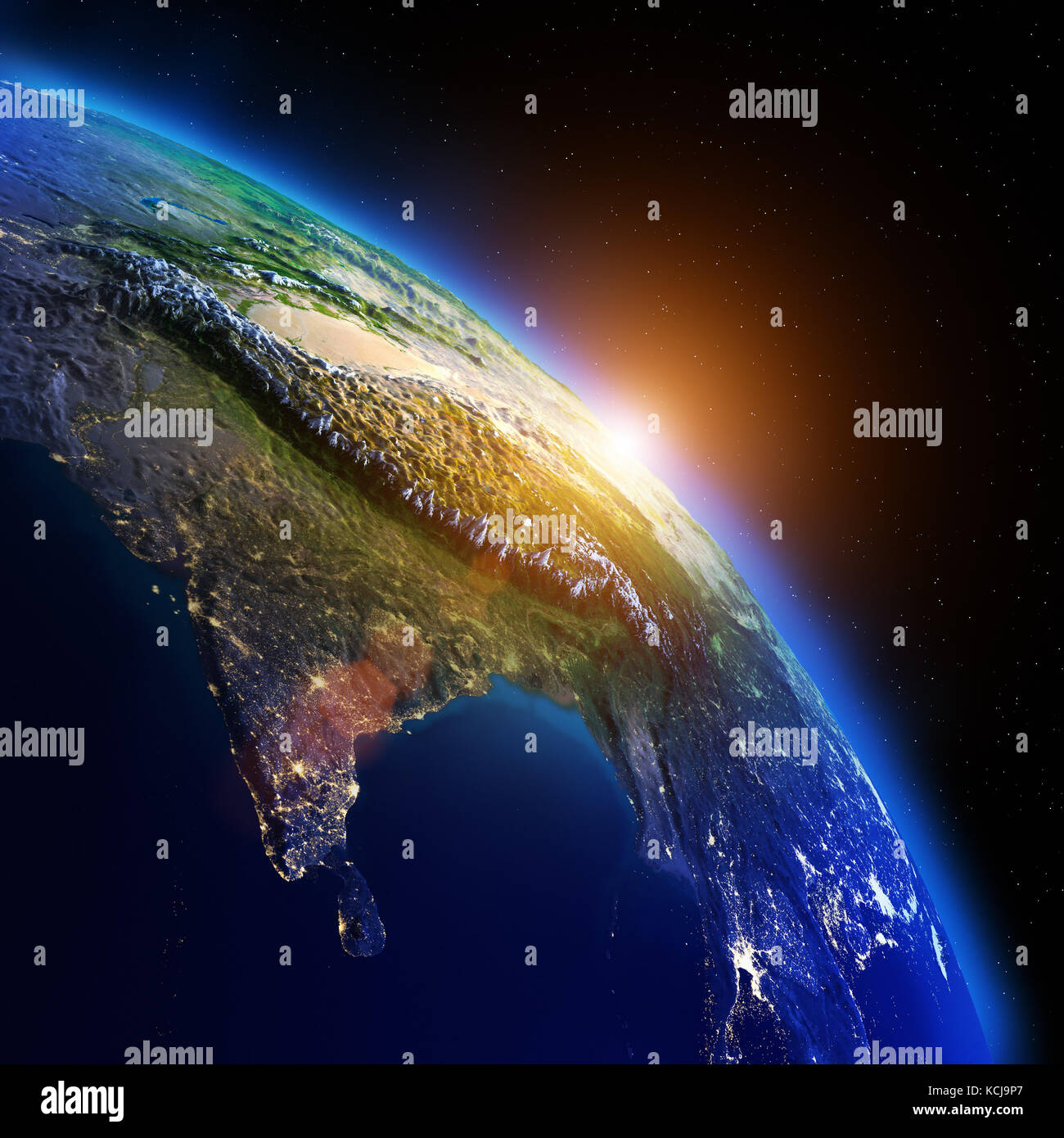 World geography 3d rendering planet Stock Photohttps://www.alamy.com/image-license-details/?v=1https://www.alamy.com/stock-image-world-geography-3d-rendering-planet-162671999.html
RFKCJ9P7–World geography 3d rendering planet
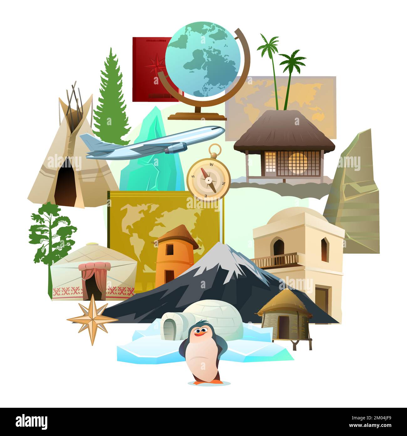 World geography picture in form of circle. Travel items and plants trees of climatic zones. Dwellings of different peoples of countries. Isolated on Stock Vectorhttps://www.alamy.com/image-license-details/?v=1https://www.alamy.com/world-geography-picture-in-form-of-circle-travel-items-and-plants-trees-of-climatic-zones-dwellings-of-different-peoples-of-countries-isolated-on-image499203021.html
RF2M04JF9–World geography picture in form of circle. Travel items and plants trees of climatic zones. Dwellings of different peoples of countries. Isolated on
 She knows where she wants to go. Portrait of a young teacher showing you a globe of the world during geography. Stock Photohttps://www.alamy.com/image-license-details/?v=1https://www.alamy.com/she-knows-where-she-wants-to-go-portrait-of-a-young-teacher-showing-you-a-globe-of-the-world-during-geography-image504228653.html
RF2M89GP5–She knows where she wants to go. Portrait of a young teacher showing you a globe of the world during geography.
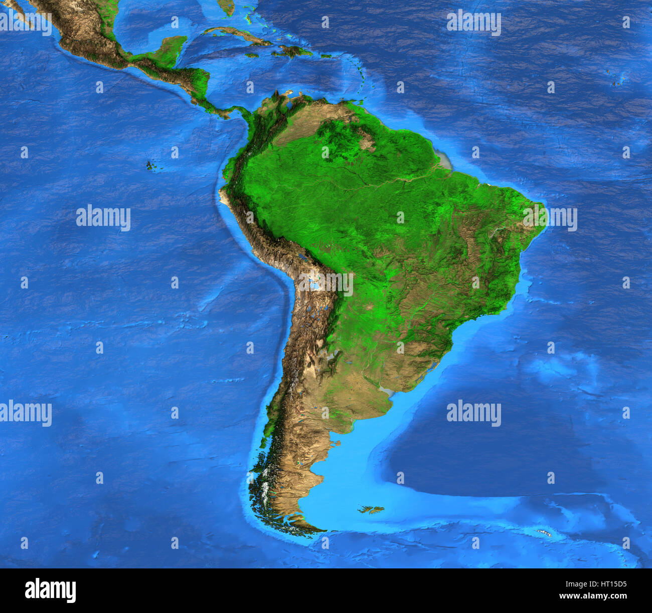 Detailed satellite view of the Earth and its landforms. South America map. Elements of this image furnished by NASA Stock Photohttps://www.alamy.com/image-license-details/?v=1https://www.alamy.com/stock-photo-detailed-satellite-view-of-the-earth-and-its-landforms-south-america-135250561.html
RFHT15D5–Detailed satellite view of the Earth and its landforms. South America map. Elements of this image furnished by NASA
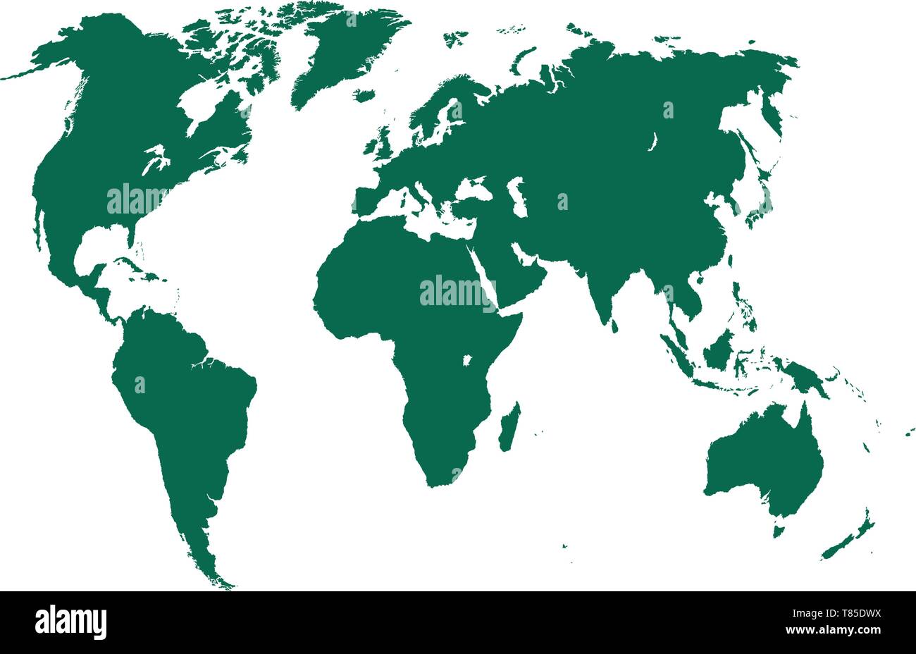 vector high detailed world map illustration Stock Vectorhttps://www.alamy.com/image-license-details/?v=1https://www.alamy.com/vector-high-detailed-world-map-illustration-image245983078.html
RFT85DWX–vector high detailed world map illustration
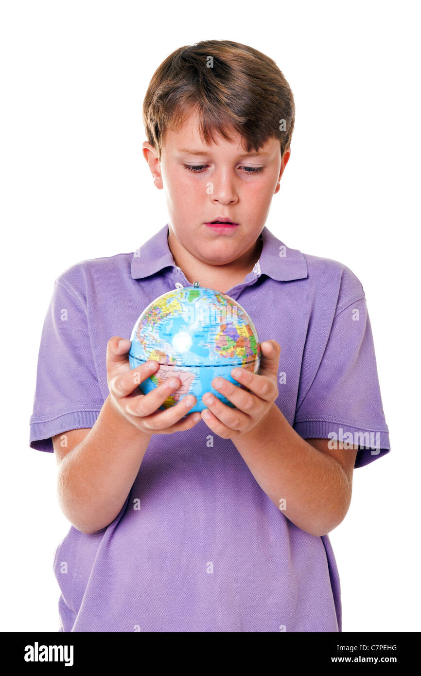 Photo of an 11 year old school boy holding a world globe, isolated on a white background. Stock Photohttps://www.alamy.com/image-license-details/?v=1https://www.alamy.com/stock-photo-photo-of-an-11-year-old-school-boy-holding-a-world-globe-isolated-39217740.html
RFC7PEHG–Photo of an 11 year old school boy holding a world globe, isolated on a white background.
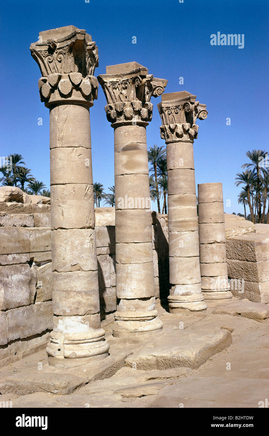 geography/travel, Egypt, temple of Hathor, columns, 20th century, Upper Egypt, architecture, ancient world, antiquity, historic, historical, ancient world, Stock Photohttps://www.alamy.com/image-license-details/?v=1https://www.alamy.com/stock-photo-geographytravel-egypt-temple-of-hathor-columns-20th-century-upper-18832069.html
RMB2HTDW–geography/travel, Egypt, temple of Hathor, columns, 20th century, Upper Egypt, architecture, ancient world, antiquity, historic, historical, ancient world,
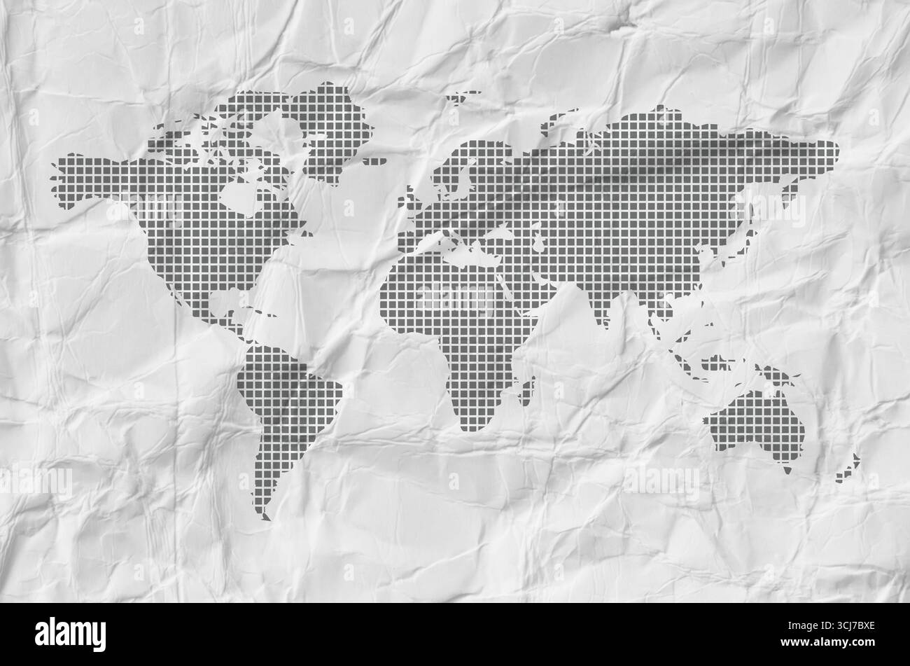 world map on white background Stock Photohttps://www.alamy.com/image-license-details/?v=1https://www.alamy.com/world-map-on-white-background-image699641558.html
RF3CJ7BXE–world map on white background
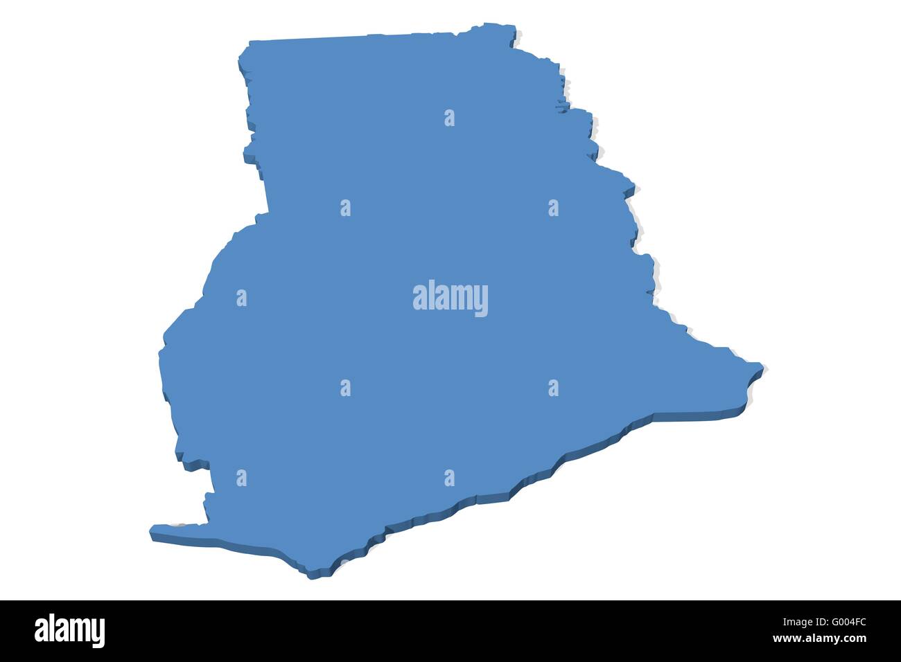 Ghana Map Stock Photohttps://www.alamy.com/image-license-details/?v=1https://www.alamy.com/stock-photo-ghana-map-103265776.html
RMG004FC–Ghana Map
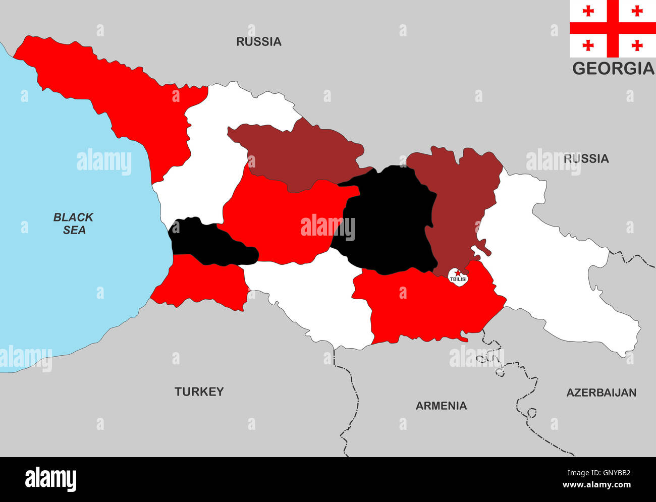 georgia map Stock Photohttps://www.alamy.com/image-license-details/?v=1https://www.alamy.com/stock-photo-georgia-map-116771622.html
RFGNYBB2–georgia map
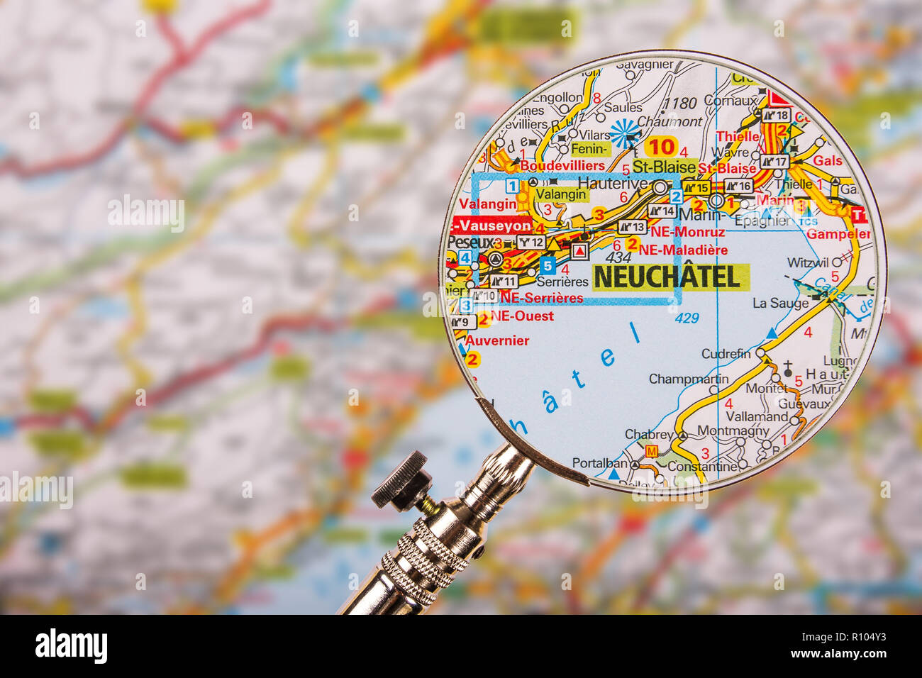 Map of Neuchatel with magnifying glass on table Stock Photohttps://www.alamy.com/image-license-details/?v=1https://www.alamy.com/map-of-neuchatel-with-magnifying-glass-on-table-image224353335.html
RFR104Y3–Map of Neuchatel with magnifying glass on table
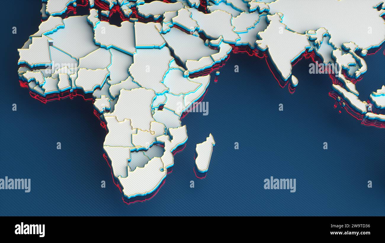 White World Map with African Continent and Countries, Gold Borders and Red Outline on Blue Background. 3D Render Illustration. Stock Photohttps://www.alamy.com/image-license-details/?v=1https://www.alamy.com/white-world-map-with-african-continent-and-countries-gold-borders-and-red-outline-on-blue-background-3d-render-illustration-image591221546.html
RF2W9TD36–White World Map with African Continent and Countries, Gold Borders and Red Outline on Blue Background. 3D Render Illustration.
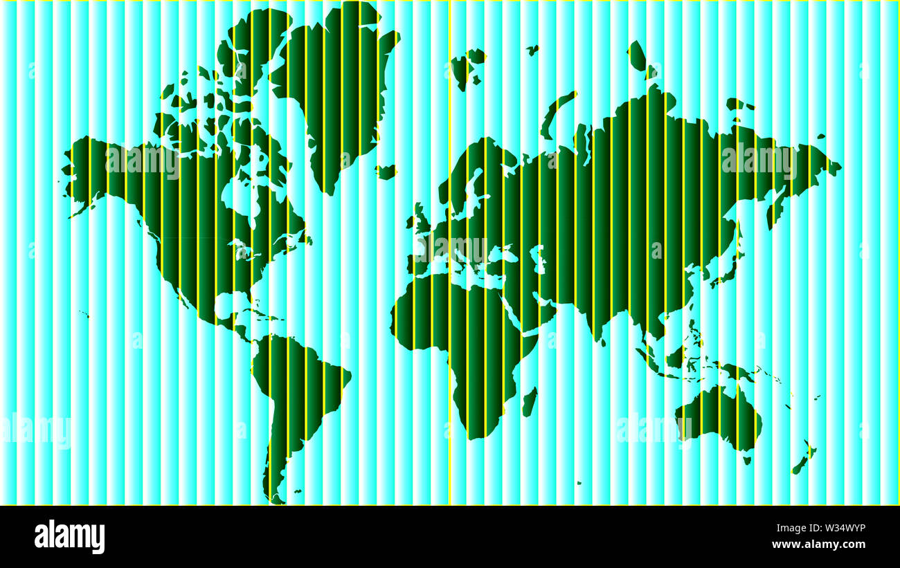 Detailed world map with all countries and subcontinents. Illustration of globe map with geometric shapes pattern imposed. Stock Photohttps://www.alamy.com/image-license-details/?v=1https://www.alamy.com/detailed-world-map-with-all-countries-and-subcontinents-illustration-of-globe-map-with-geometric-shapes-pattern-imposed-image260107674.html
RFW34WYP–Detailed world map with all countries and subcontinents. Illustration of globe map with geometric shapes pattern imposed.
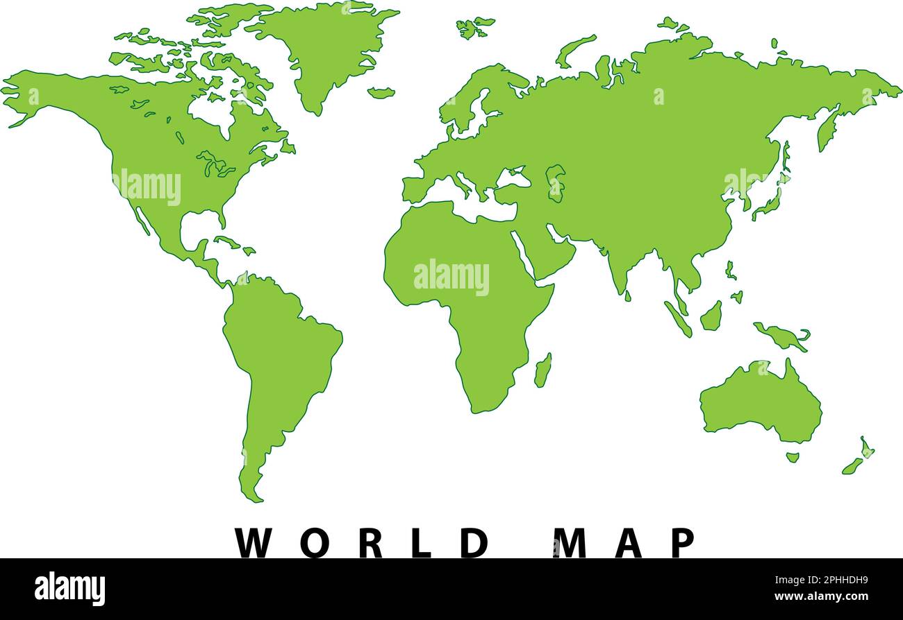 World map, Hand drawn simple stylized silhouette in minimal line, outline thin, shape vector illustration Stock Vectorhttps://www.alamy.com/image-license-details/?v=1https://www.alamy.com/world-map-hand-drawn-simple-stylized-silhouette-in-minimal-line-outline-thin-shape-vector-illustration-image544354421.html
RF2PHHDH9–World map, Hand drawn simple stylized silhouette in minimal line, outline thin, shape vector illustration
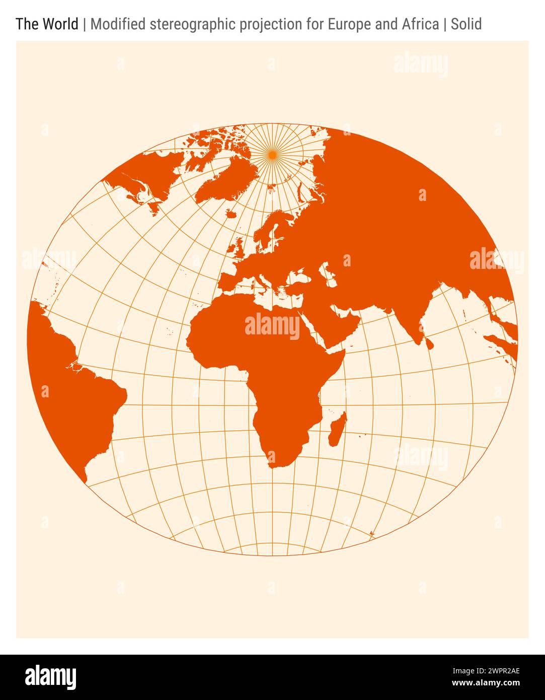 World Map. Modified stereographic projection for Europe and Africa. Solid style. Stock Vectorhttps://www.alamy.com/image-license-details/?v=1https://www.alamy.com/world-map-modified-stereographic-projection-for-europe-and-africa-solid-style-image599181702.html
RF2WPR2AE–World Map. Modified stereographic projection for Europe and Africa. Solid style.
 Image of colorful globe with continents highlighted on black background Stock Photohttps://www.alamy.com/image-license-details/?v=1https://www.alamy.com/image-of-colorful-globe-with-continents-highlighted-on-black-background-image683936897.html
RF3BMM0DN–Image of colorful globe with continents highlighted on black background
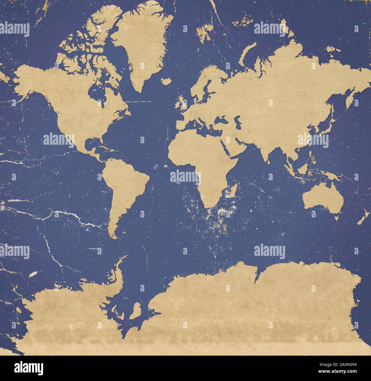 Planisphere of the world ultra defined with Antarctica, paper effect and peeling plaster. Stock Photohttps://www.alamy.com/image-license-details/?v=1https://www.alamy.com/planisphere-of-the-world-ultra-defined-with-antarctica-paper-effect-and-peeling-plaster-image343444000.html
RF2AXN694–Planisphere of the world ultra defined with Antarctica, paper effect and peeling plaster.
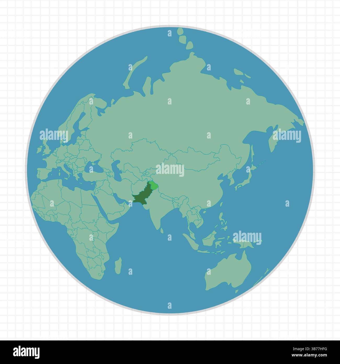 Earth Globe view of the World map in light green. Pakistan is pointed out on the map in dark green. and watercolor in blue. Stock Vectorhttps://www.alamy.com/image-license-details/?v=1https://www.alamy.com/earth-globe-view-of-the-world-map-in-light-green-pakistan-is-pointed-out-on-the-map-in-dark-green-and-watercolor-in-blue-image675674372.html
RF3B77HFG–Earth Globe view of the World map in light green. Pakistan is pointed out on the map in dark green. and watercolor in blue.
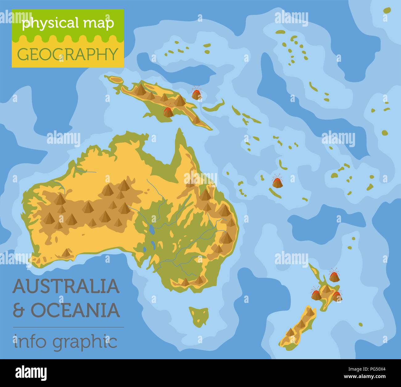 Australia and Oceania physical map elements. Build your own geography info graphic collection. Vector illustration Stock Vectorhttps://www.alamy.com/image-license-details/?v=1https://www.alamy.com/australia-and-oceania-physical-map-elements-build-your-own-geography-info-graphic-collection-vector-illustration-image216469404.html
RFPG50X4–Australia and Oceania physical map elements. Build your own geography info graphic collection. Vector illustration
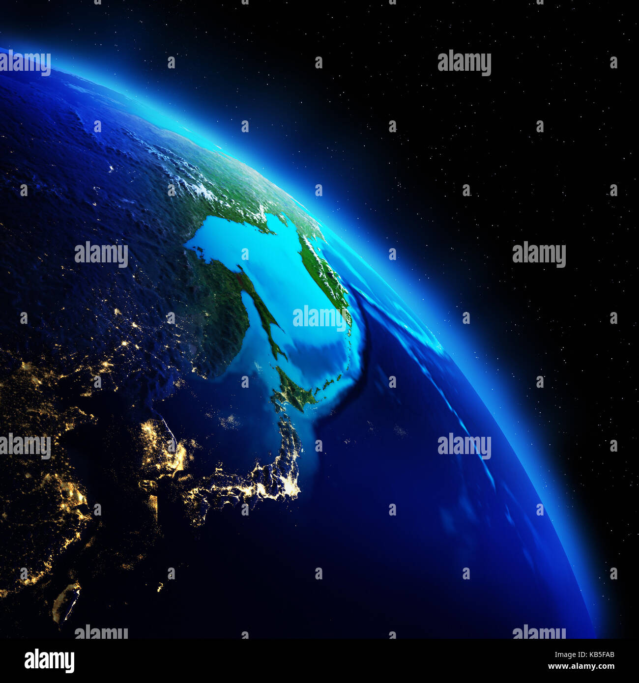 World geography 3d rendering planet Stock Photohttps://www.alamy.com/image-license-details/?v=1https://www.alamy.com/stock-image-world-geography-3d-rendering-planet-161776339.html
RFKB5FAB–World geography 3d rendering planet
 Full body shot of female teacher carrying a globe isolated on a white background Stock Photohttps://www.alamy.com/image-license-details/?v=1https://www.alamy.com/stock-photo-full-body-shot-of-female-teacher-carrying-a-globe-isolated-on-a-white-86187070.html
RFF064DJ–Full body shot of female teacher carrying a globe isolated on a white background
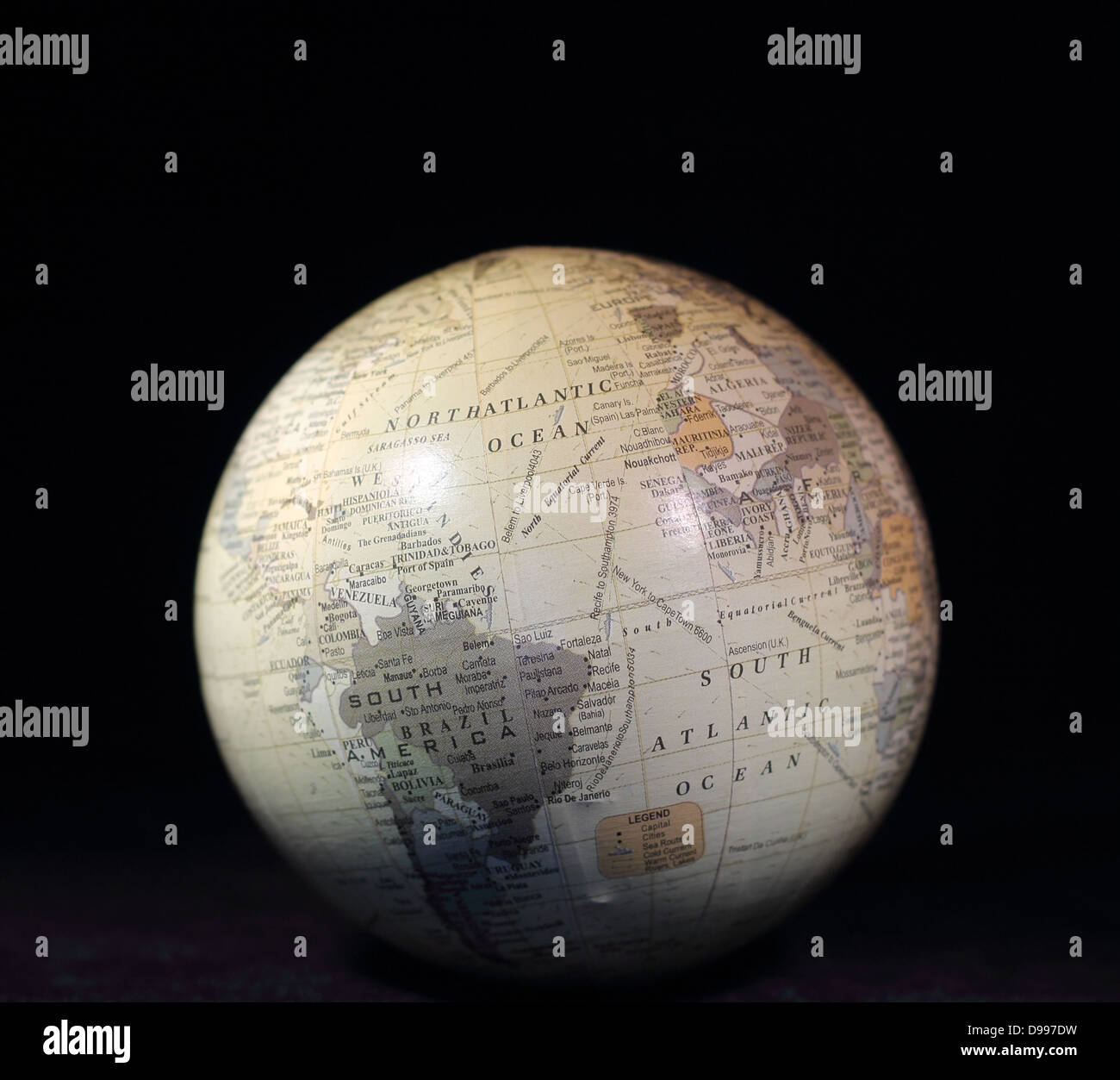 White globe with text on a black background Stock Photohttps://www.alamy.com/image-license-details/?v=1https://www.alamy.com/stock-photo-white-globe-with-text-on-a-black-background-57366453.html
RMD997DW–White globe with text on a black background
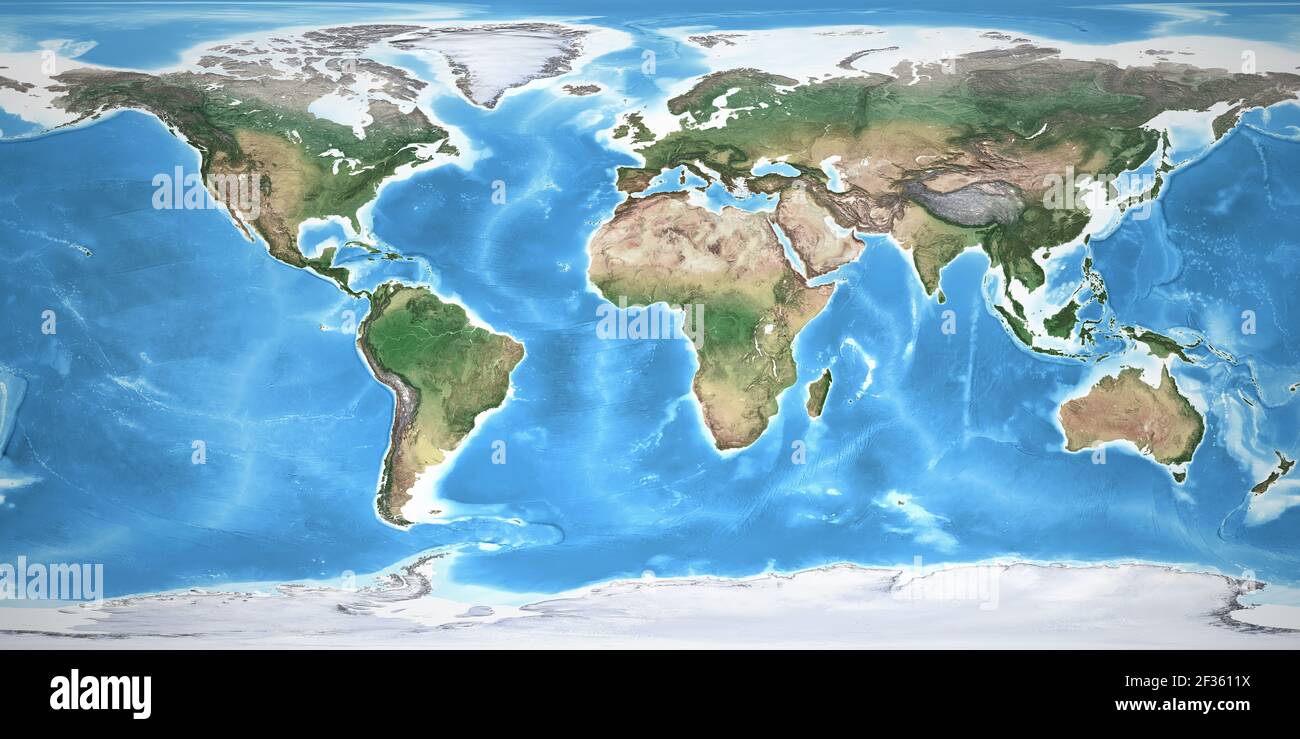 Physical map of the World, with high resolution details. Flattened satellite view of Planet Earth, its geography and topography. NASA elements. Stock Photohttps://www.alamy.com/image-license-details/?v=1https://www.alamy.com/physical-map-of-the-world-with-high-resolution-details-flattened-satellite-view-of-planet-earth-its-geography-and-topography-nasa-elements-image415025350.html
RF2F3611X–Physical map of the World, with high resolution details. Flattened satellite view of Planet Earth, its geography and topography. NASA elements.
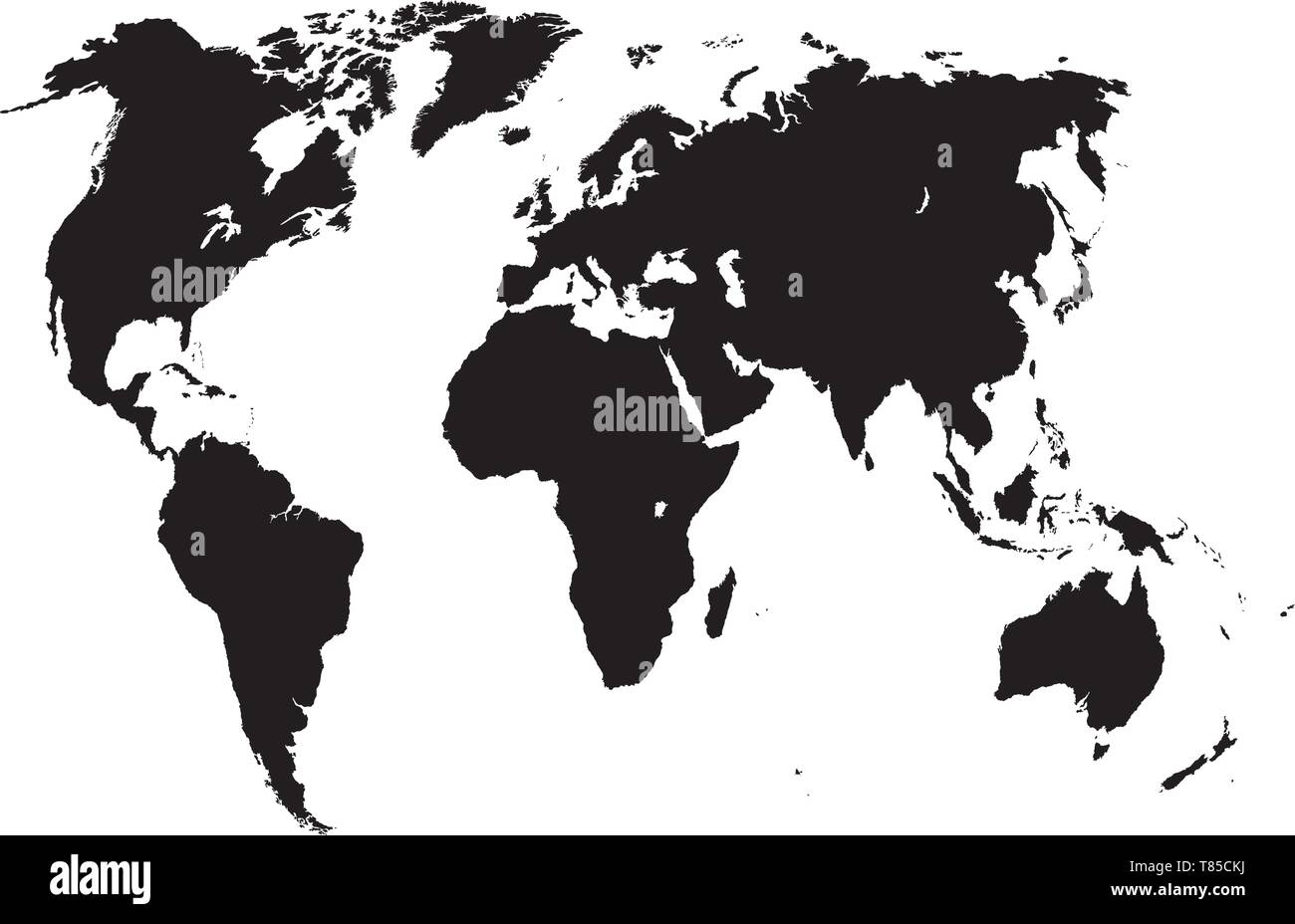 vector high detailed world map illustration Stock Vectorhttps://www.alamy.com/image-license-details/?v=1https://www.alamy.com/vector-high-detailed-world-map-illustration-image245982118.html
RFT85CKJ–vector high detailed world map illustration
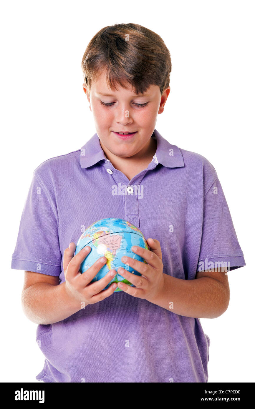 Photo of an 11 year old school boy holding a world globe, isolated on a white background. Stock Photohttps://www.alamy.com/image-license-details/?v=1https://www.alamy.com/stock-photo-photo-of-an-11-year-old-school-boy-holding-a-world-globe-isolated-39217626.html
RFC7PEDE–Photo of an 11 year old school boy holding a world globe, isolated on a white background.
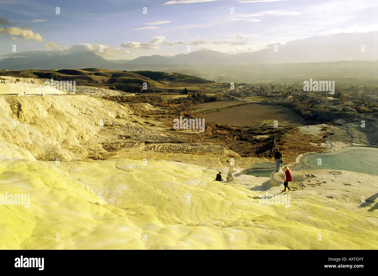 geography / travel, Turkey, Pammukale (Hierapolis), lime sinter terraces, UNESCO World Cultural Heritage Site / Sites, UNESCO World Natural Heritage Site / Sites, Stock Photohttps://www.alamy.com/image-license-details/?v=1https://www.alamy.com/stock-photo-geography-travel-turkey-pammukale-hierapolis-lime-sinter-terraces-16915022.html
RMAXTGYY–geography / travel, Turkey, Pammukale (Hierapolis), lime sinter terraces, UNESCO World Cultural Heritage Site / Sites, UNESCO World Natural Heritage Site / Sites,
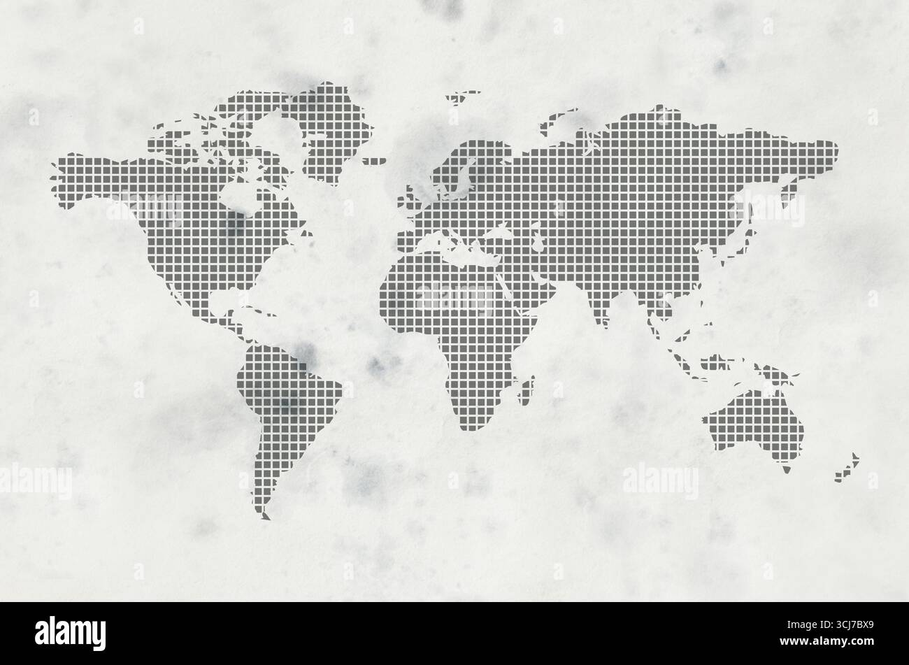 world map on white background Stock Photohttps://www.alamy.com/image-license-details/?v=1https://www.alamy.com/world-map-on-white-background-image699641553.html
RF3CJ7BX9–world map on white background
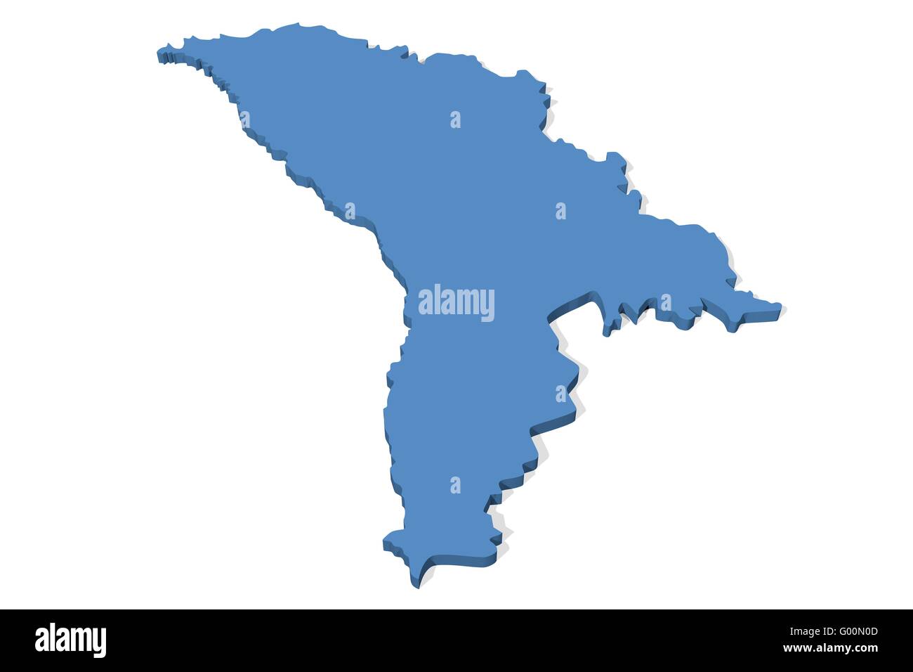 Moldova Map Stock Photohttps://www.alamy.com/image-license-details/?v=1https://www.alamy.com/stock-photo-moldova-map-103278685.html
RMG00N0D–Moldova Map
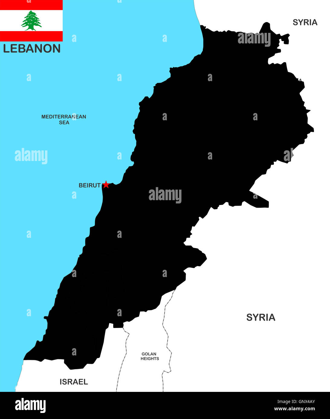 lebanon map Stock Photohttps://www.alamy.com/image-license-details/?v=1https://www.alamy.com/stock-photo-lebanon-map-116744179.html
RFGNX4AY–lebanon map
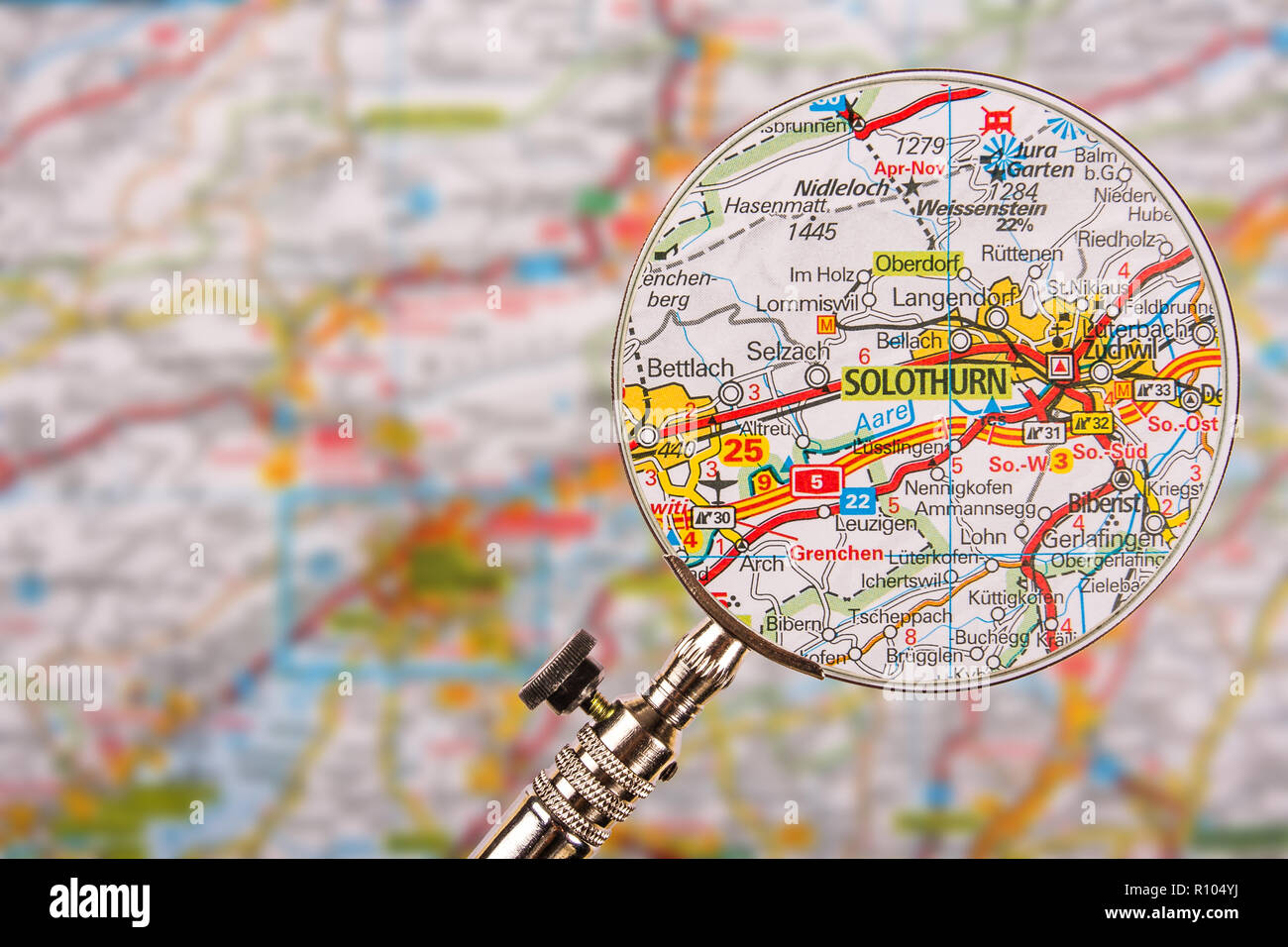 Map of Solothurn with magnifying glass on table Stock Photohttps://www.alamy.com/image-license-details/?v=1https://www.alamy.com/map-of-solothurn-with-magnifying-glass-on-table-image224353350.html
RFR104YJ–Map of Solothurn with magnifying glass on table
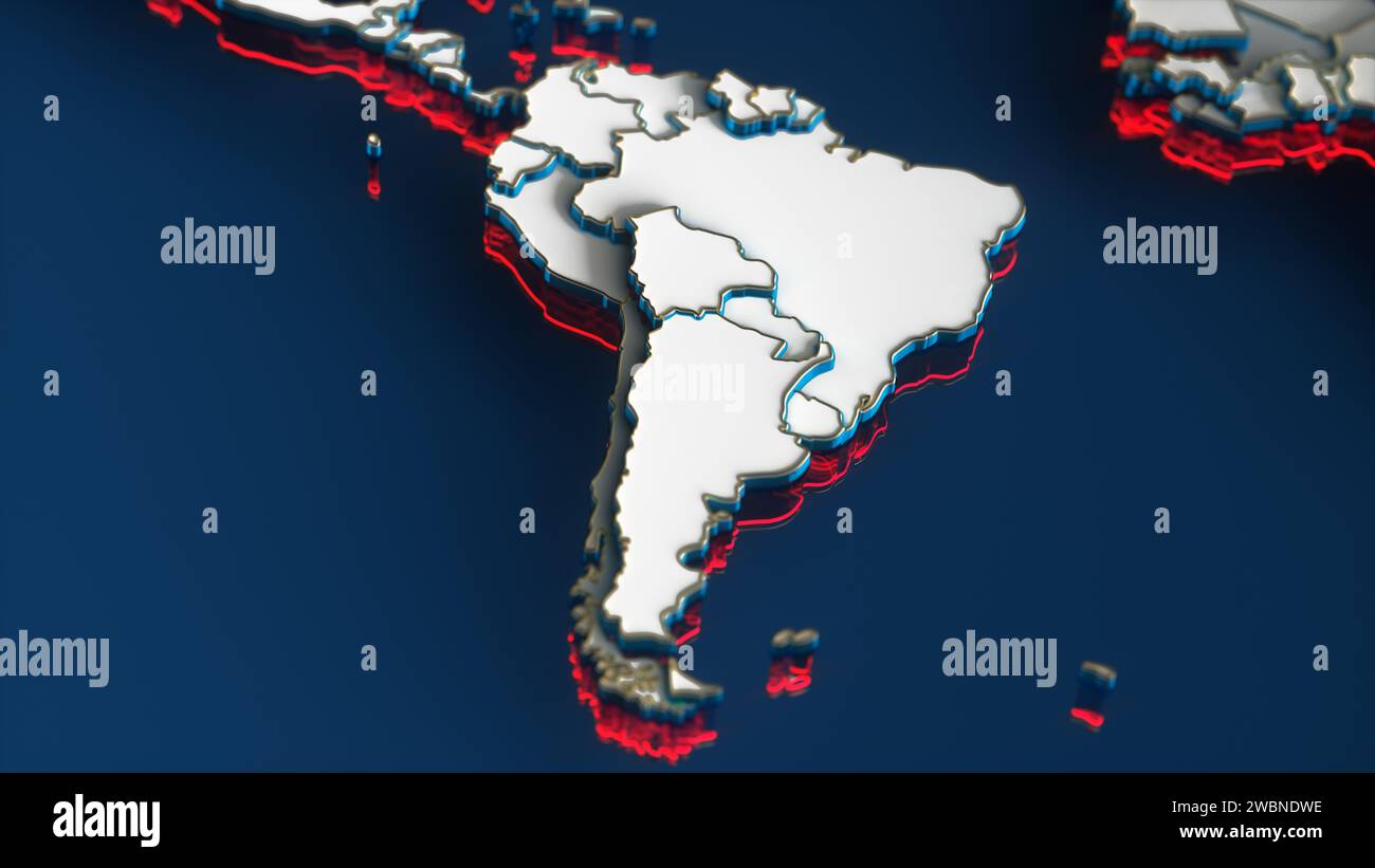 White World Map with South America Continent, Gold Borders and Red Outline on Blue Background. 3D Render Illustration. Stock Photohttps://www.alamy.com/image-license-details/?v=1https://www.alamy.com/white-world-map-with-south-america-continent-gold-borders-and-red-outline-on-blue-background-3d-render-illustration-image592385626.html
RF2WBNDWE–White World Map with South America Continent, Gold Borders and Red Outline on Blue Background. 3D Render Illustration.
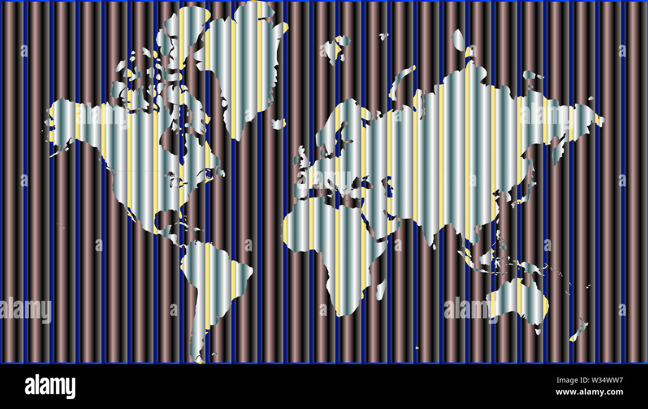 Detailed world map with all countries and subcontinents. Illustration of globe map with geometric shapes pattern imposed. Stock Photohttps://www.alamy.com/image-license-details/?v=1https://www.alamy.com/detailed-world-map-with-all-countries-and-subcontinents-illustration-of-globe-map-with-geometric-shapes-pattern-imposed-image260107603.html
RFW34WW7–Detailed world map with all countries and subcontinents. Illustration of globe map with geometric shapes pattern imposed.
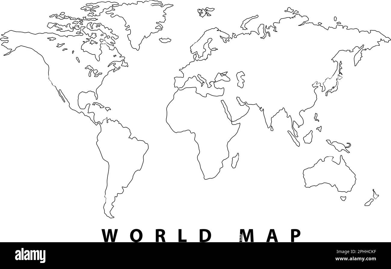 World map, Hand drawn simple stylized silhouette in minimal line, outline thin, shape vector illustration Stock Vectorhttps://www.alamy.com/image-license-details/?v=1https://www.alamy.com/world-map-hand-drawn-simple-stylized-silhouette-in-minimal-line-outline-thin-shape-vector-illustration-image544353699.html
RF2PHHCKF–World map, Hand drawn simple stylized silhouette in minimal line, outline thin, shape vector illustration
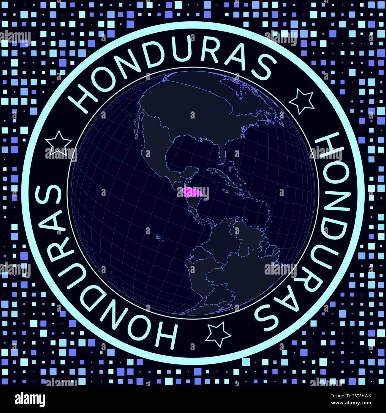 Honduras on globe vector. Futuristic satellite view of the world centered to Honduras. Stock Vectorhttps://www.alamy.com/image-license-details/?v=1https://www.alamy.com/honduras-on-globe-vector-futuristic-satellite-view-of-the-world-centered-to-honduras-image651856735.html
RF2STEHWK–Honduras on globe vector. Futuristic satellite view of the world centered to Honduras.
 Transparent globe displaying numbers and graphs overlaying Stock Photohttps://www.alamy.com/image-license-details/?v=1https://www.alamy.com/transparent-globe-displaying-numbers-and-graphs-overlaying-image607596342.html
RF2X8EB9A–Transparent globe displaying numbers and graphs overlaying
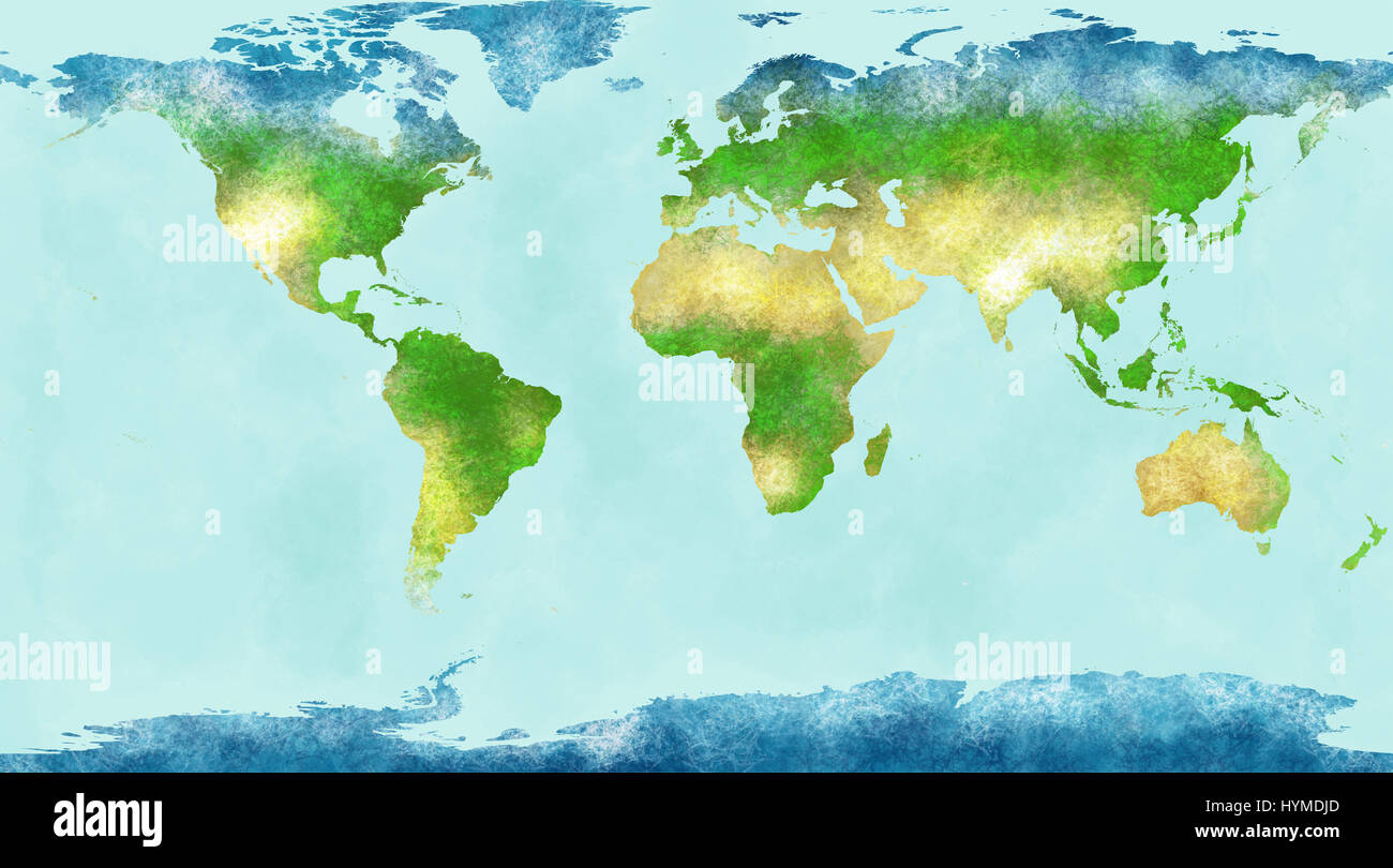 World map, hand drawn, illustrated brushstrokes, geographical map, physical, Stock Photohttps://www.alamy.com/image-license-details/?v=1https://www.alamy.com/stock-photo-world-map-hand-drawn-illustrated-brushstrokes-geographical-map-physical-137518037.html
RFHYMDJD–World map, hand drawn, illustrated brushstrokes, geographical map, physical,
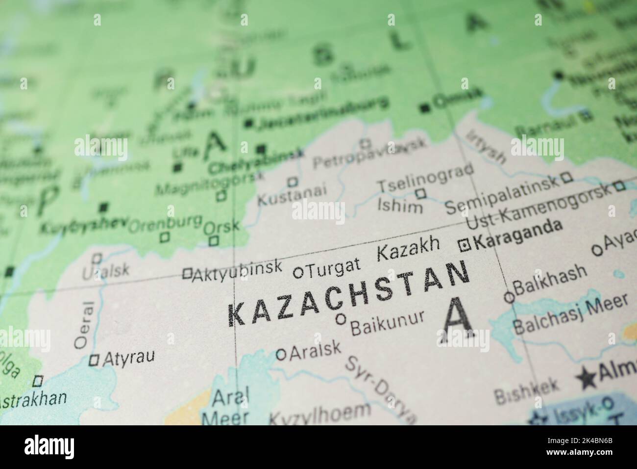 Kazakhstan on the map or globe in Dutch language. In Netherlands it is Kazachstan. World geography. Stock Photohttps://www.alamy.com/image-license-details/?v=1https://www.alamy.com/kazakhstan-on-the-map-or-globe-in-dutch-language-in-netherlands-it-is-kazachstan-world-geography-image484607043.html
RF2K4BN6B–Kazakhstan on the map or globe in Dutch language. In Netherlands it is Kazachstan. World geography.
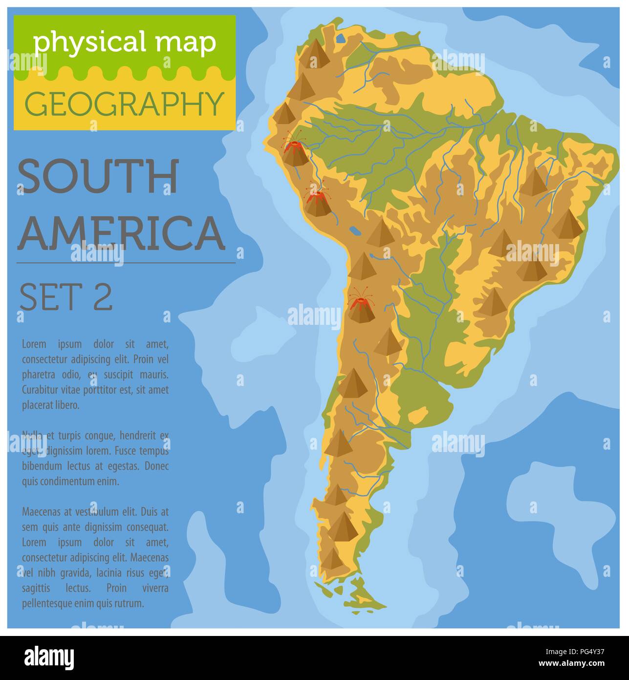 South America physical map elements. Build your own geography info graphic collection. Vector illustration Stock Vectorhttps://www.alamy.com/image-license-details/?v=1https://www.alamy.com/south-america-physical-map-elements-build-your-own-geography-info-graphic-collection-vector-illustration-image216467979.html
RFPG4Y37–South America physical map elements. Build your own geography info graphic collection. Vector illustration
 World geography 3d rendering planet Stock Photohttps://www.alamy.com/image-license-details/?v=1https://www.alamy.com/stock-image-world-geography-3d-rendering-planet-161776345.html
RFKB5FAH–World geography 3d rendering planet
 old map of the world and antique brass compass Stock Photohttps://www.alamy.com/image-license-details/?v=1https://www.alamy.com/old-map-of-the-world-and-antique-brass-compass-image216785630.html
RMPGKC7X–old map of the world and antique brass compass
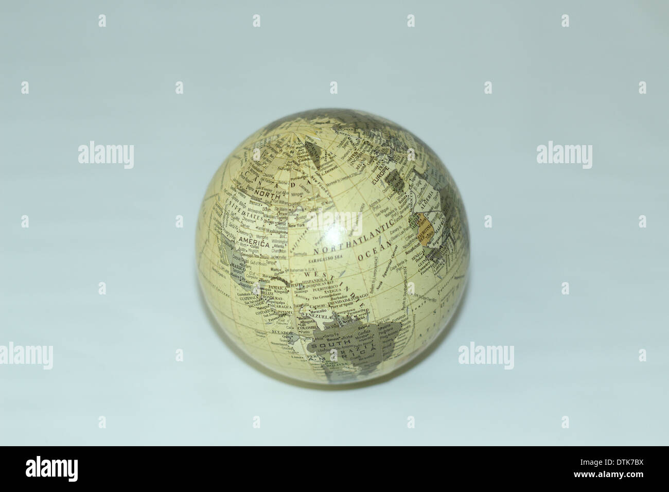 Ivory globe on white background Stock Photohttps://www.alamy.com/image-license-details/?v=1https://www.alamy.com/ivory-globe-on-white-background-image66805758.html
RMDTK7BX–Ivory globe on white background
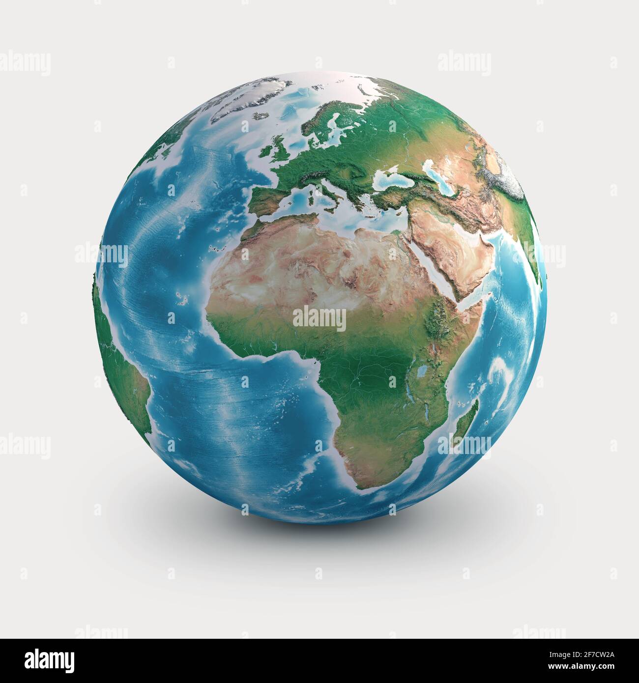 Planet Earth globe. Geography of the world from space, focused on Europe, Africa and Middle East - Elements furnished by NASA Stock Photohttps://www.alamy.com/image-license-details/?v=1https://www.alamy.com/planet-earth-globe-geography-of-the-world-from-space-focused-on-europe-africa-and-middle-east-elements-furnished-by-nasa-image417634514.html
RF2F7CW2A–Planet Earth globe. Geography of the world from space, focused on Europe, Africa and Middle East - Elements furnished by NASA
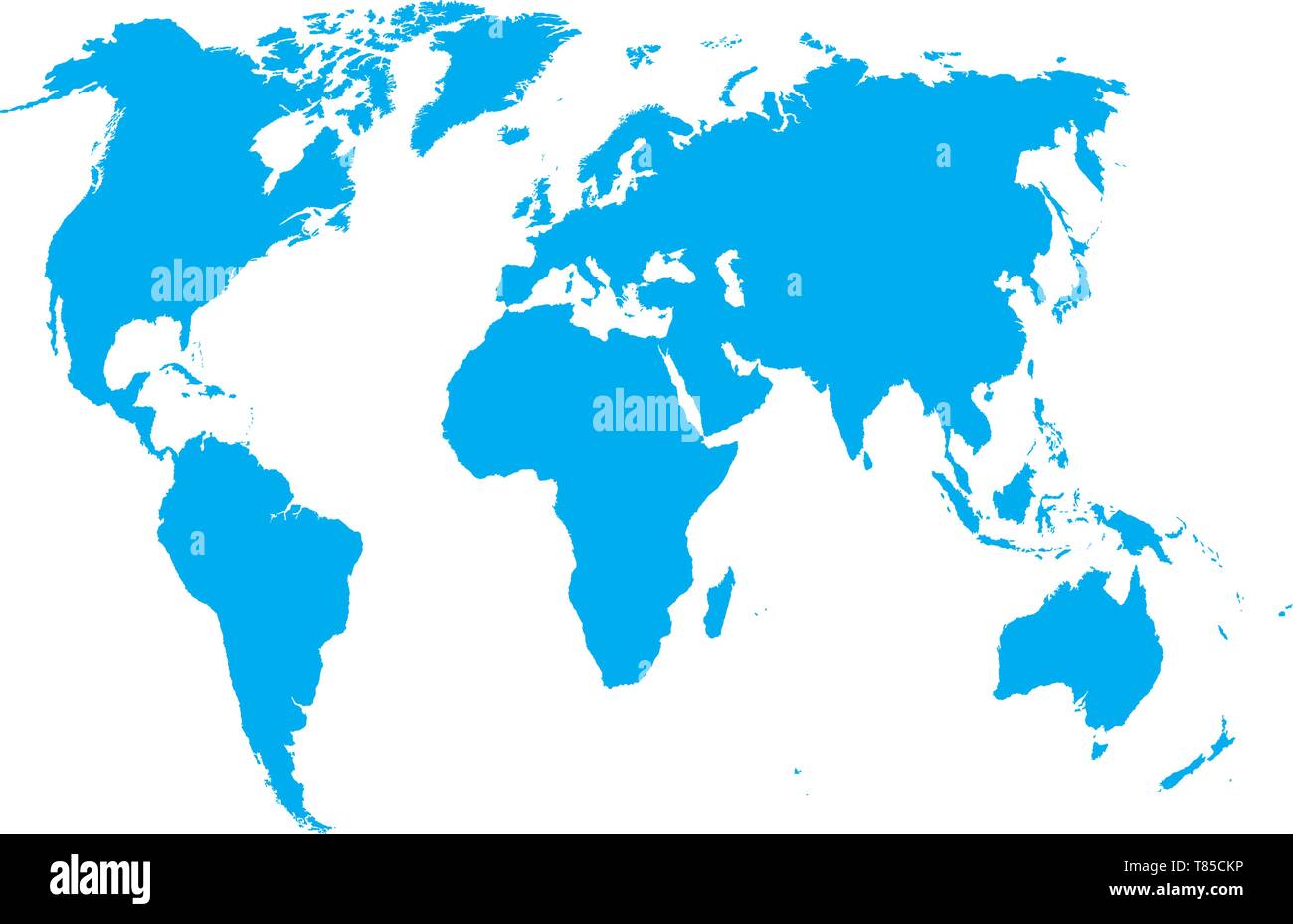 vector high detailed world map illustration Stock Vectorhttps://www.alamy.com/image-license-details/?v=1https://www.alamy.com/vector-high-detailed-world-map-illustration-image245982122.html
RFT85CKP–vector high detailed world map illustration
 Photo of an 11 year old school boy holding a world globe, isolated on a white background. Stock Photohttps://www.alamy.com/image-license-details/?v=1https://www.alamy.com/stock-photo-photo-of-an-11-year-old-school-boy-holding-a-world-globe-isolated-39217498.html
RFC7PE8X–Photo of an 11 year old school boy holding a world globe, isolated on a white background.
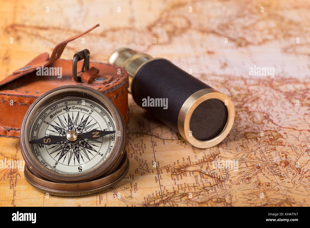 Brass compass and telescope on a world map Stock Photohttps://www.alamy.com/image-license-details/?v=1https://www.alamy.com/stock-image-brass-compass-and-telescope-on-a-world-map-165581395.html
RFKHATN7–Brass compass and telescope on a world map
 world map on white background Stock Photohttps://www.alamy.com/image-license-details/?v=1https://www.alamy.com/world-map-on-white-background-image699641563.html
RF3CJ7BXK–world map on white background
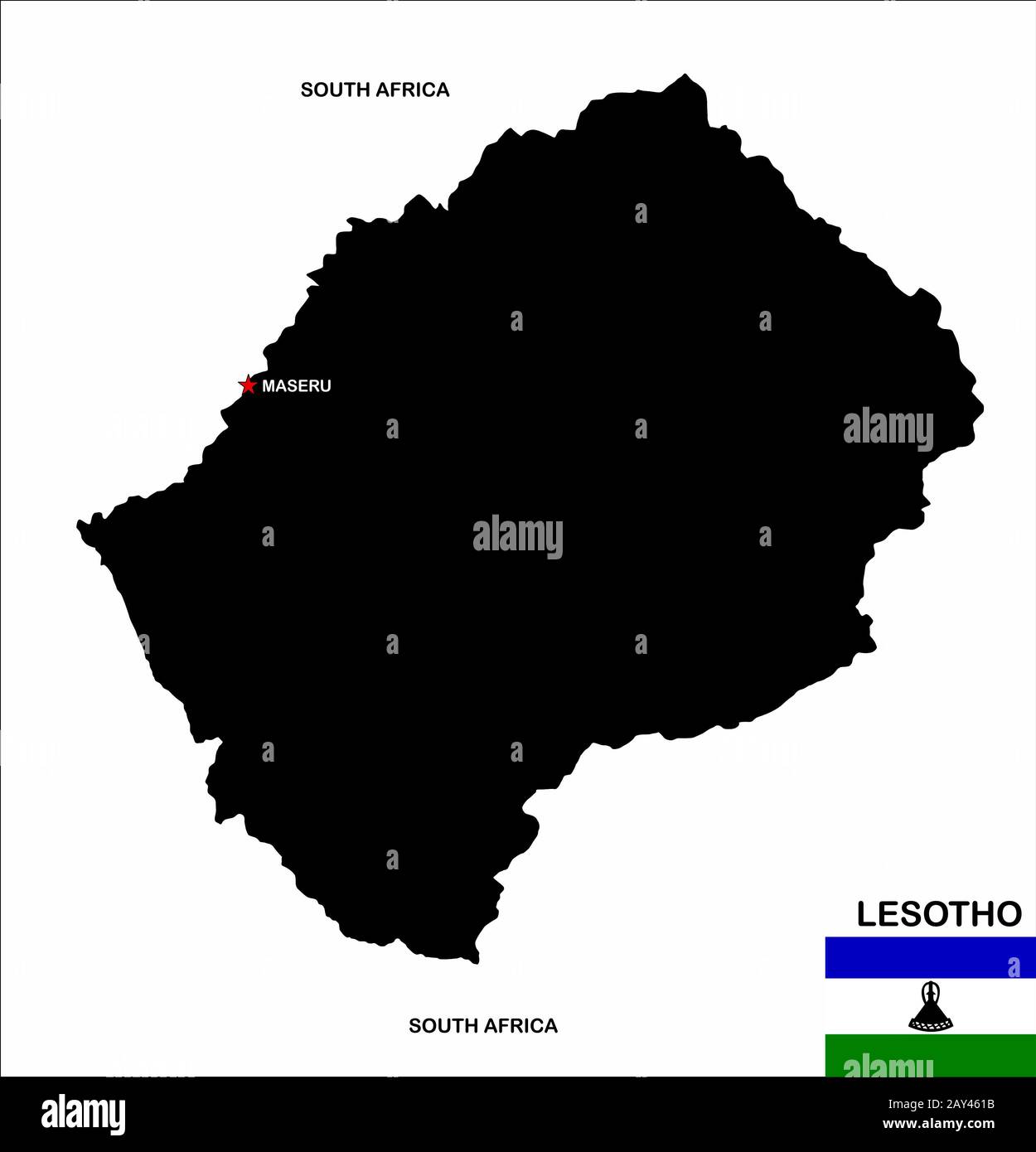 lesotho map Stock Photohttps://www.alamy.com/image-license-details/?v=1https://www.alamy.com/lesotho-map-image343685255.html
RM2AY461B–lesotho map
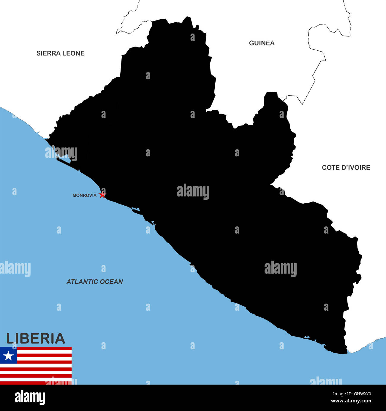 liberia map Stock Photohttps://www.alamy.com/image-license-details/?v=1https://www.alamy.com/stock-photo-liberia-map-116739924.html
RFGNWXY0–liberia map
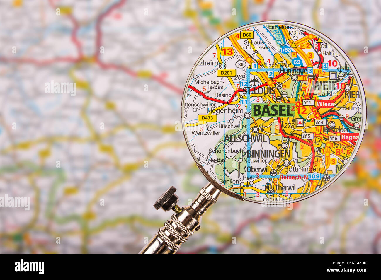 Map of Basel with magnifying glass on table Stock Photohttps://www.alamy.com/image-license-details/?v=1https://www.alamy.com/map-of-basel-with-magnifying-glass-on-table-image224441952.html
RFR14600–Map of Basel with magnifying glass on table
 White World Map with North America Continent, Gold Borders and Red Outline on Blue Background. 3D Render Illustration. Stock Photohttps://www.alamy.com/image-license-details/?v=1https://www.alamy.com/white-world-map-with-north-america-continent-gold-borders-and-red-outline-on-blue-background-3d-render-illustration-image592385844.html
RF2WBNE58–White World Map with North America Continent, Gold Borders and Red Outline on Blue Background. 3D Render Illustration.
 Detailed world map with all countries and subcontinents. Illustration of globe map with geometric shapes pattern imposed. Stock Photohttps://www.alamy.com/image-license-details/?v=1https://www.alamy.com/detailed-world-map-with-all-countries-and-subcontinents-illustration-of-globe-map-with-geometric-shapes-pattern-imposed-image260107685.html
RFW34X05–Detailed world map with all countries and subcontinents. Illustration of globe map with geometric shapes pattern imposed.
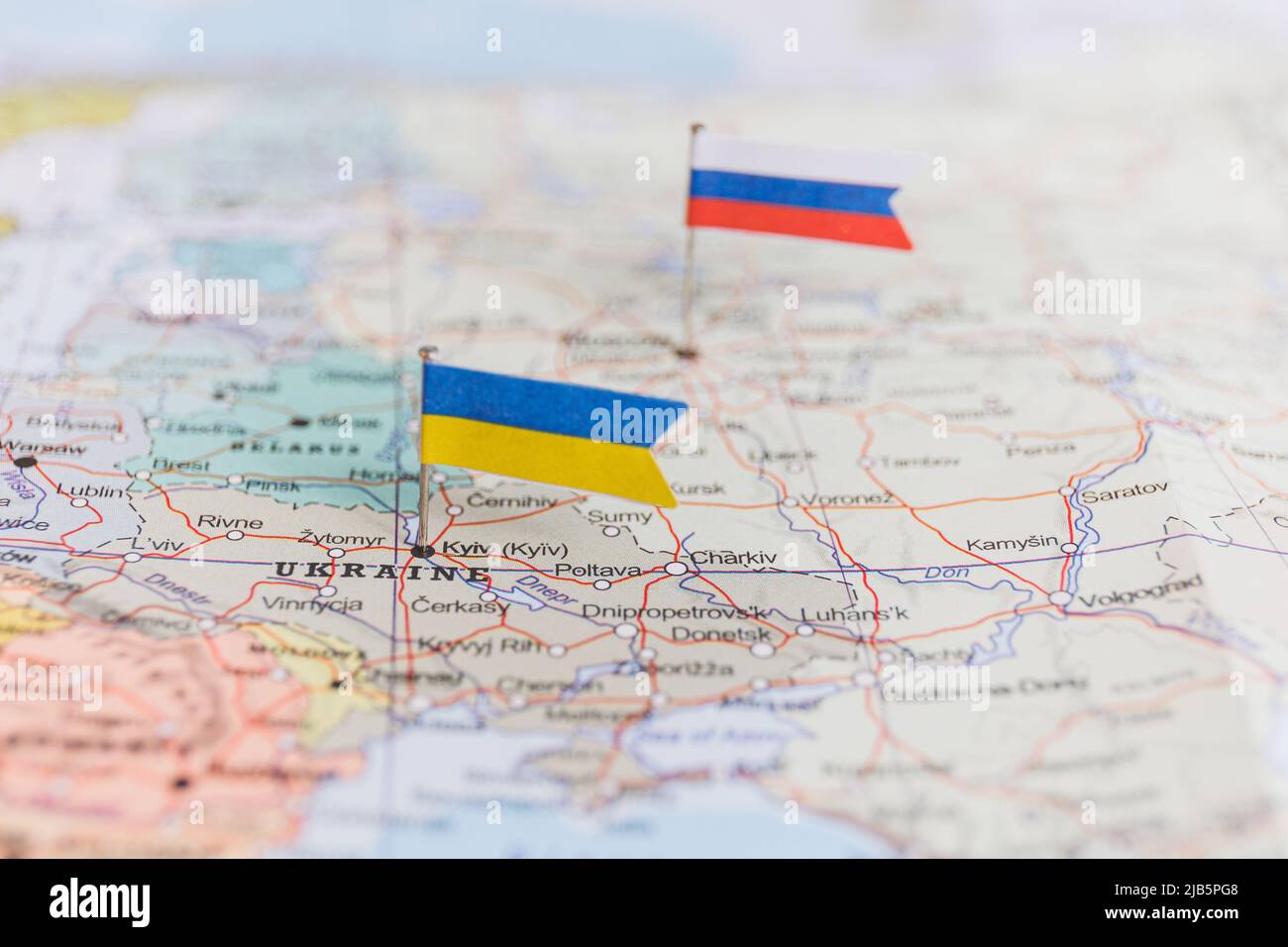 Ukraine and Russia flag on geopolitical map. War in Ukraine Stock Photohttps://www.alamy.com/image-license-details/?v=1https://www.alamy.com/ukraine-and-russia-flag-on-geopolitical-map-war-in-ukraine-image471568616.html
RF2JB5PG8–Ukraine and Russia flag on geopolitical map. War in Ukraine
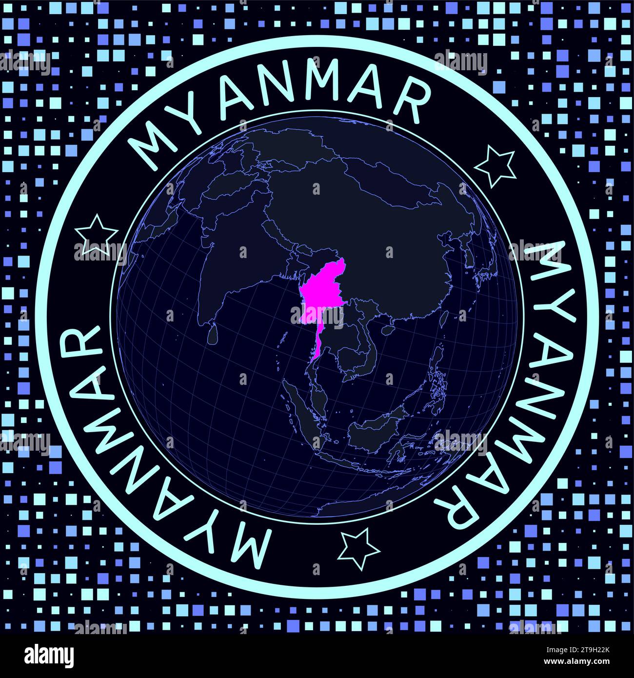 Myanmar on globe vector. Futuristic satellite view of the world centered to Myanmar. Stock Vectorhttps://www.alamy.com/image-license-details/?v=1https://www.alamy.com/myanmar-on-globe-vector-futuristic-satellite-view-of-the-world-centered-to-myanmar-image573848875.html
RF2T9H22K–Myanmar on globe vector. Futuristic satellite view of the world centered to Myanmar.
 Globe earth graphic color isolated sketch illustration vector Stock Vectorhttps://www.alamy.com/image-license-details/?v=1https://www.alamy.com/globe-earth-graphic-color-isolated-sketch-illustration-vector-image366700721.html
RF2C8GJE9–Globe earth graphic color isolated sketch illustration vector
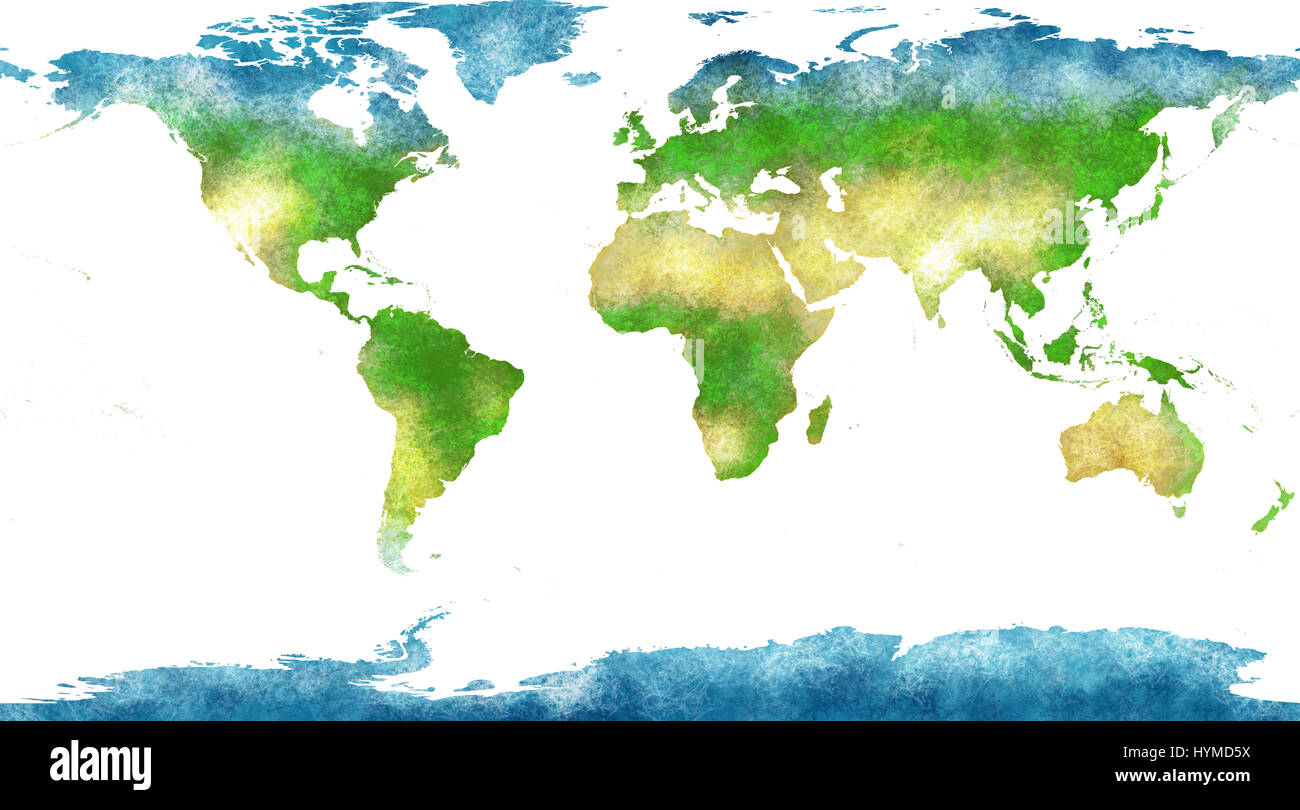 World map, hand drawn, illustrated brushstrokes, geographical map, physical, Stock Photohttps://www.alamy.com/image-license-details/?v=1https://www.alamy.com/stock-photo-world-map-hand-drawn-illustrated-brushstrokes-geographical-map-physical-137517686.html
RFHYMD5X–World map, hand drawn, illustrated brushstrokes, geographical map, physical,
 World geography lesson on blackboard or chalkboard. written in white chalk Stock Photohttps://www.alamy.com/image-license-details/?v=1https://www.alamy.com/world-geography-lesson-on-blackboard-or-chalkboard-written-in-white-chalk-image619708684.html
RF2Y064N0–World geography lesson on blackboard or chalkboard. written in white chalk
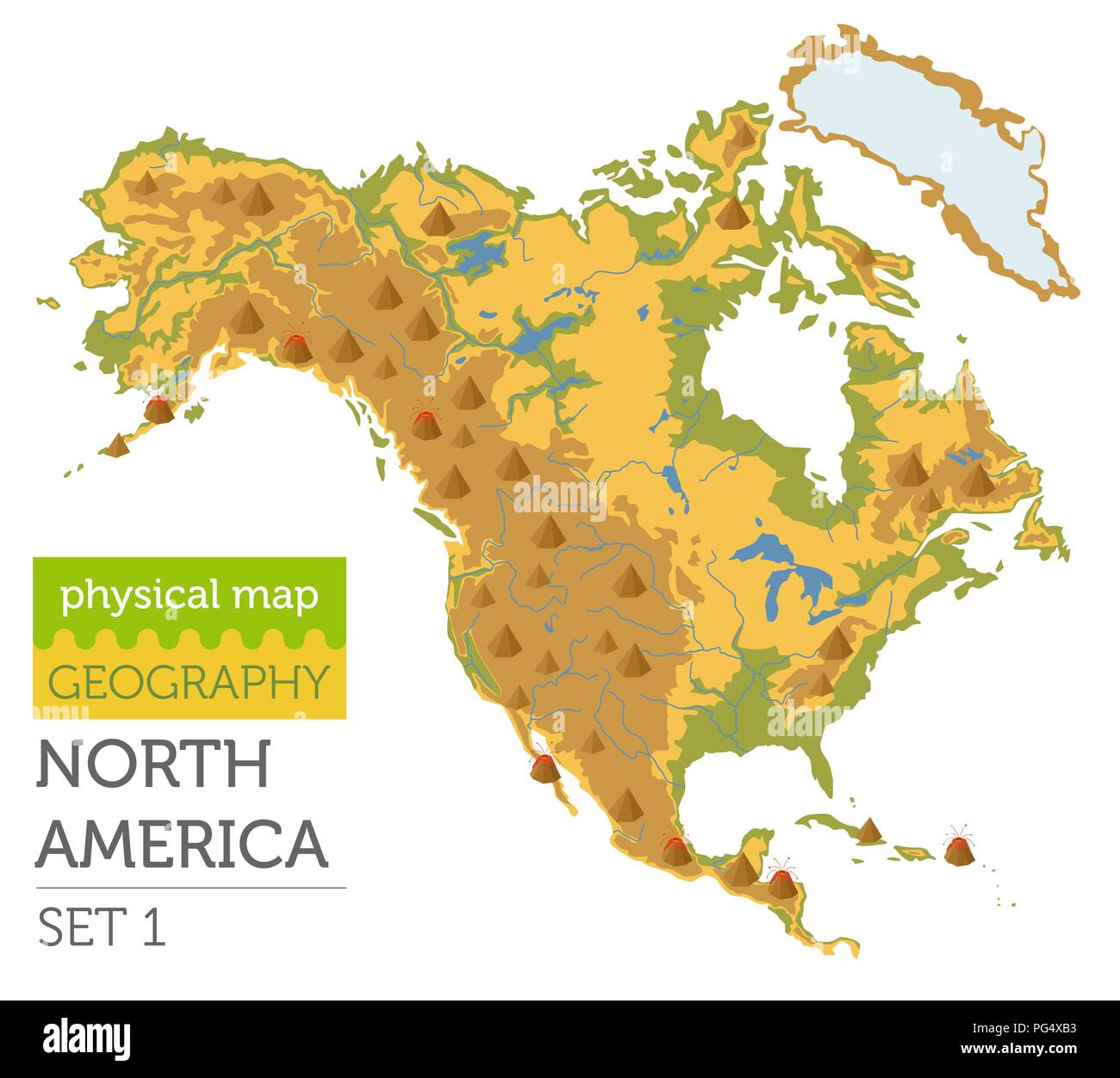 North America physical map elements. Build your own geography info graphic collection. Vector illustration Stock Vectorhttps://www.alamy.com/image-license-details/?v=1https://www.alamy.com/north-america-physical-map-elements-build-your-own-geography-info-graphic-collection-vector-illustration-image216467415.html
RFPG4XB3–North America physical map elements. Build your own geography info graphic collection. Vector illustration
