Quick filters:
Urban navigation Stock Photos and Images
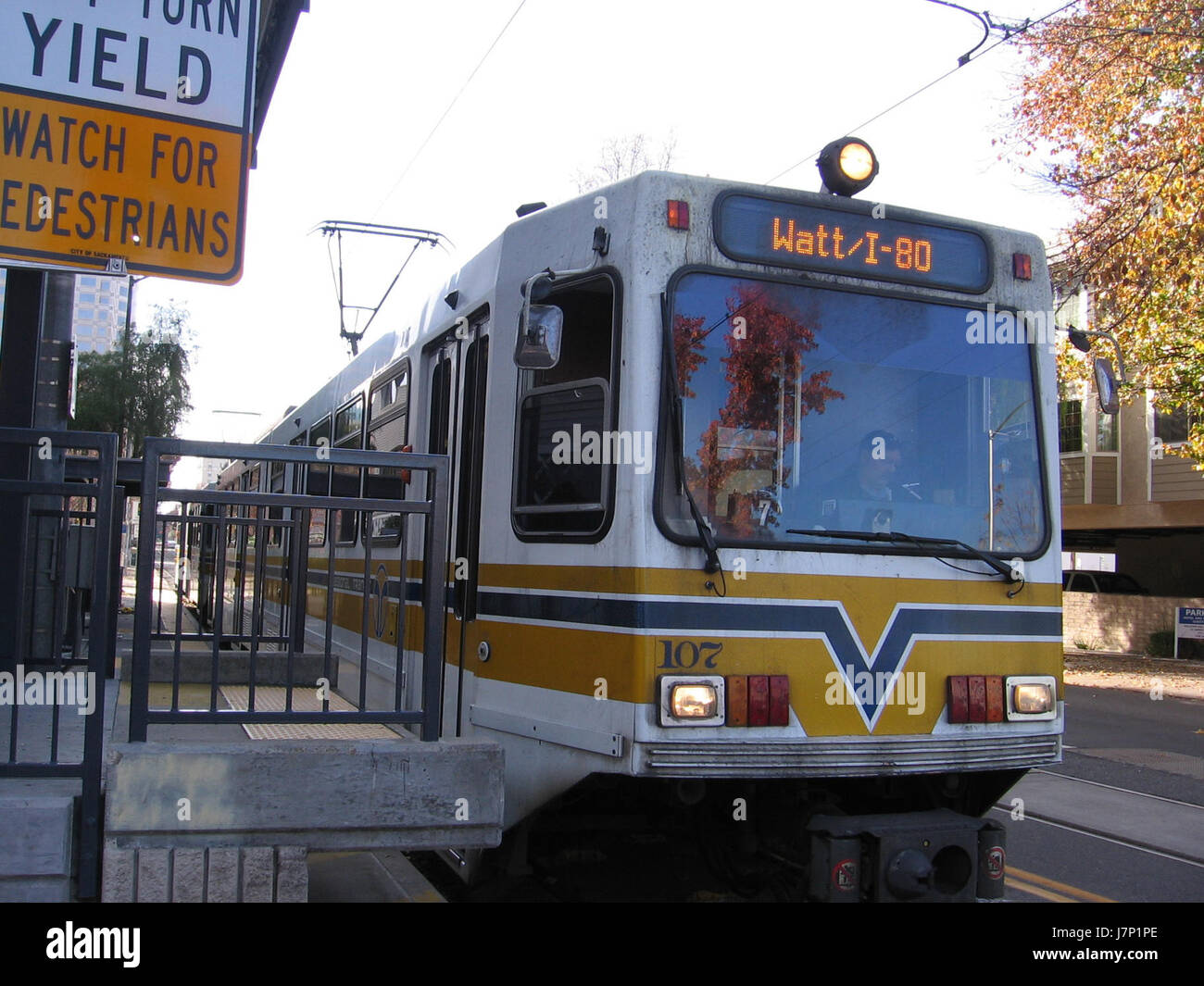 This refers to the intersection of 12th and I Streets, possibly in a U.S. city. The context of '4016 05' could relate to an address or identification number linked to this location, providing specifics for urban navigation or address identification. Stock Photohttps://www.alamy.com/image-license-details/?v=1https://www.alamy.com/stock-photo-this-refers-to-the-intersection-of-12th-and-i-streets-possibly-in-142469894.html
RMJ7P1PE–This refers to the intersection of 12th and I Streets, possibly in a U.S. city. The context of '4016 05' could relate to an address or identification number linked to this location, providing specifics for urban navigation or address identification.
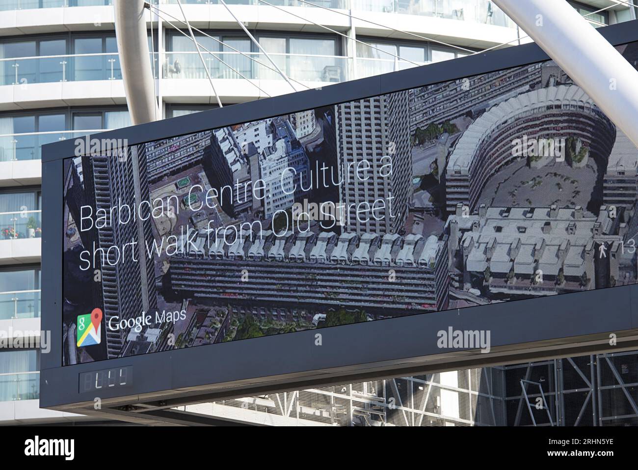 Google Maps billboard in London showing aerial view and Barbican Centre directions Stock Photohttps://www.alamy.com/image-license-details/?v=1https://www.alamy.com/google-maps-billboard-in-london-showing-aerial-view-and-barbican-centre-directions-image561646610.html
RF2RHN5YE–Google Maps billboard in London showing aerial view and Barbican Centre directions
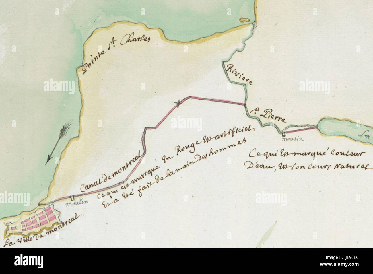 The Canal Saint-Gabriel is a waterway in Paris, France, known for its historical and urban significance. It is part of the city's extensive canal network and was originally constructed for navigation and irrigation. Stock Photohttps://www.alamy.com/image-license-details/?v=1https://www.alamy.com/stock-photo-the-canal-saint-gabriel-is-a-waterway-in-paris-france-known-for-its-146490804.html
RMJE96EC–The Canal Saint-Gabriel is a waterway in Paris, France, known for its historical and urban significance. It is part of the city's extensive canal network and was originally constructed for navigation and irrigation.
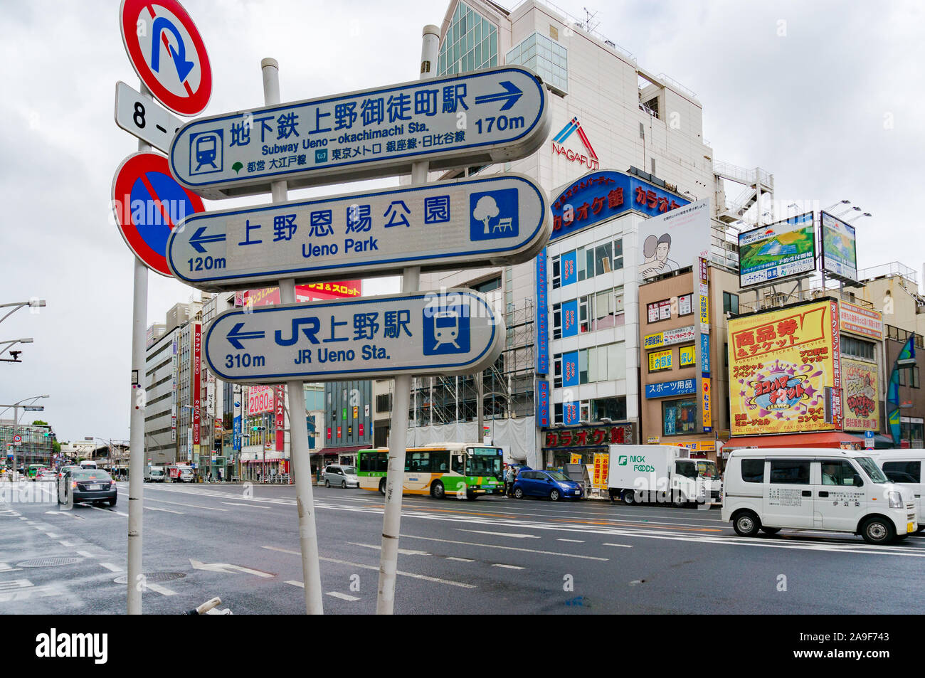 Tokyo, Japan - August 29, 2016: Street sign indicating directions to Ueno JR station, Uenop park and Subway Ueno station. Urban navigation Stock Photohttps://www.alamy.com/image-license-details/?v=1https://www.alamy.com/tokyo-japan-august-29-2016-street-sign-indicating-directions-to-ueno-jr-station-uenop-park-and-subway-ueno-station-urban-navigation-image332863779.html
RF2A9F743–Tokyo, Japan - August 29, 2016: Street sign indicating directions to Ueno JR station, Uenop park and Subway Ueno station. Urban navigation
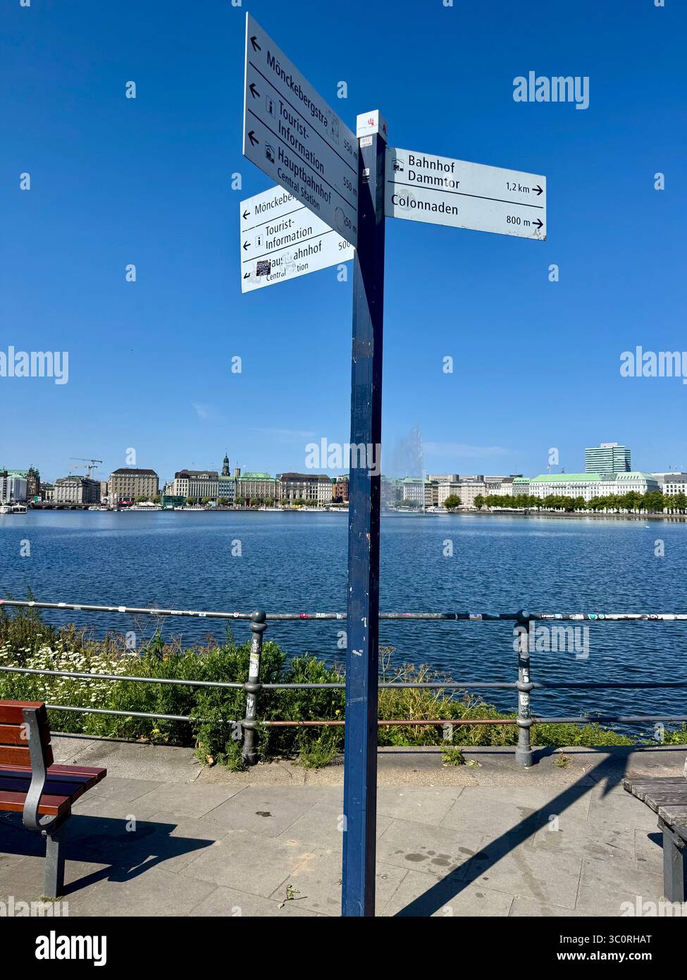 Directional signpost by the Inner Alster Lake (Binnenalster) with Hamburg cityscape in the background on a sunny day. Stock Photohttps://www.alamy.com/image-license-details/?v=1https://www.alamy.com/directional-signpost-by-the-inner-alster-lake-binnenalster-with-hamburg-cityscape-in-the-background-on-a-sunny-day-image688933248.html
RM3C0RHAT–Directional signpost by the Inner Alster Lake (Binnenalster) with Hamburg cityscape in the background on a sunny day.
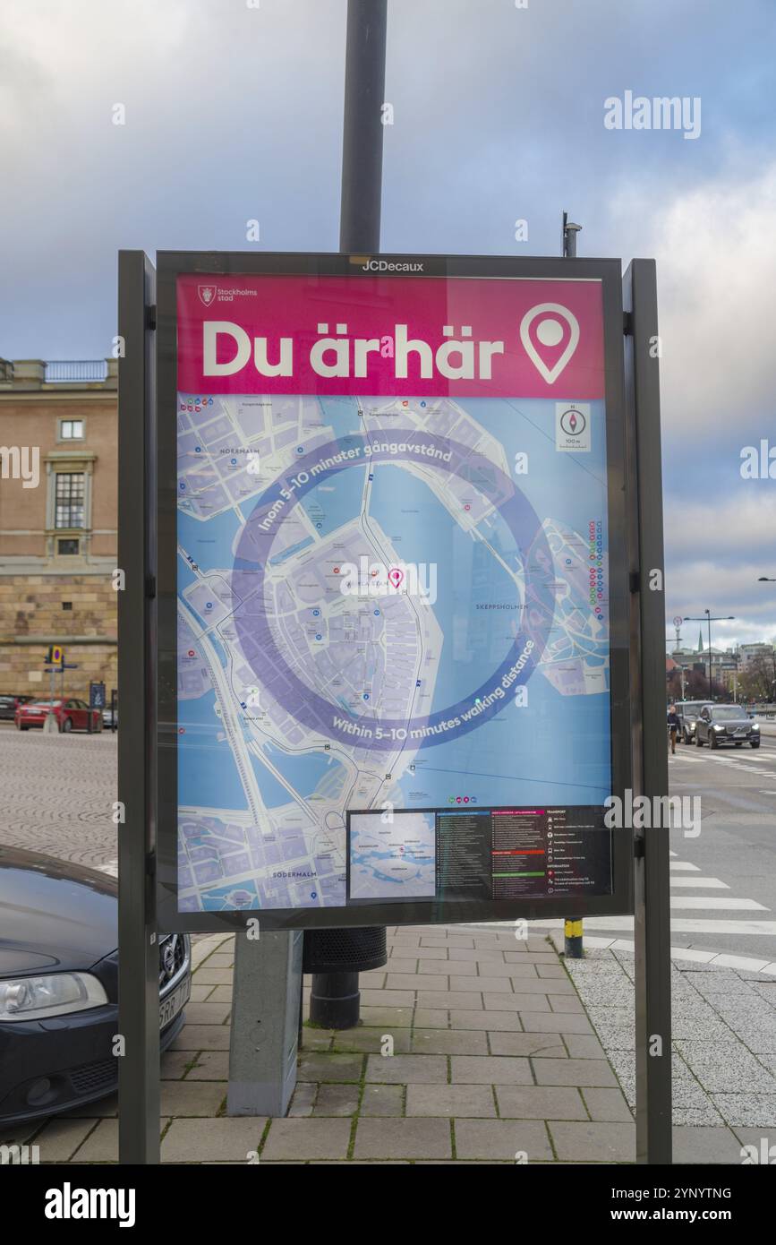 Public city plan of stockholm, the capital of sweden Stock Photohttps://www.alamy.com/image-license-details/?v=1https://www.alamy.com/public-city-plan-of-stockholm-the-capital-of-sweden-image633093148.html
RM2YNYTNG–Public city plan of stockholm, the capital of sweden
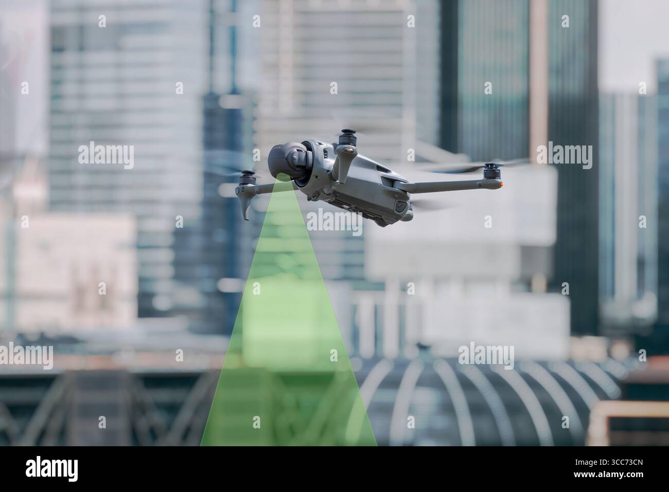 Professional drone flying in urban environment with visible green sensor beam for obstacle detection and navigation Stock Photohttps://www.alamy.com/image-license-details/?v=1https://www.alamy.com/professional-drone-flying-in-urban-environment-with-visible-green-sensor-beam-for-obstacle-detection-and-navigation-image695946965.html
RF3CC73CN–Professional drone flying in urban environment with visible green sensor beam for obstacle detection and navigation
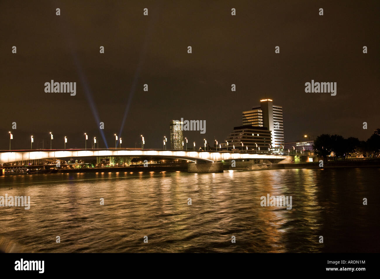 RHINE BRIDGE CROSSING COLOGNE GERMANY AT NIGHT Stock Photohttps://www.alamy.com/image-license-details/?v=1https://www.alamy.com/stock-photo-rhine-bridge-crossing-cologne-germany-at-night-16022623.html
RMARDN1M–RHINE BRIDGE CROSSING COLOGNE GERMANY AT NIGHT
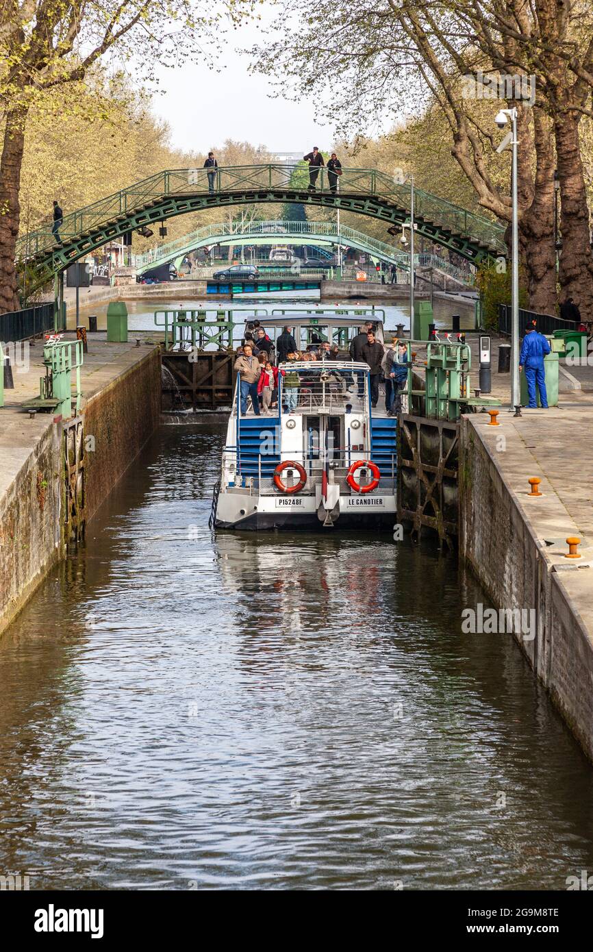 Tourist boat waiting in a lock of the Saint Martin canal in Paris Stock Photohttps://www.alamy.com/image-license-details/?v=1https://www.alamy.com/tourist-boat-waiting-in-a-lock-of-the-saint-martin-canal-in-paris-image436237102.html
RF2G9M8TE–Tourist boat waiting in a lock of the Saint Martin canal in Paris
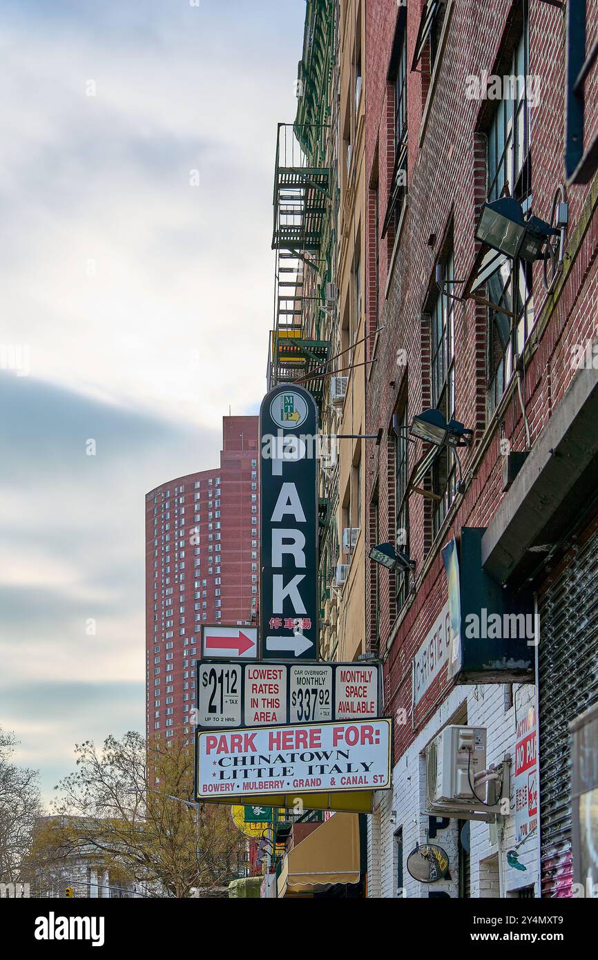 New York, United States -September 19,2024: Take a stroll through the vibrant streets of China Town in New York City where East meets West amidst bust Stock Photohttps://www.alamy.com/image-license-details/?v=1https://www.alamy.com/new-york-united-states-september-192024-take-a-stroll-through-the-vibrant-streets-of-china-town-in-new-york-city-where-east-meets-west-amidst-bust-image622491977.html
RF2Y4MXT9–New York, United States -September 19,2024: Take a stroll through the vibrant streets of China Town in New York City where East meets West amidst bust
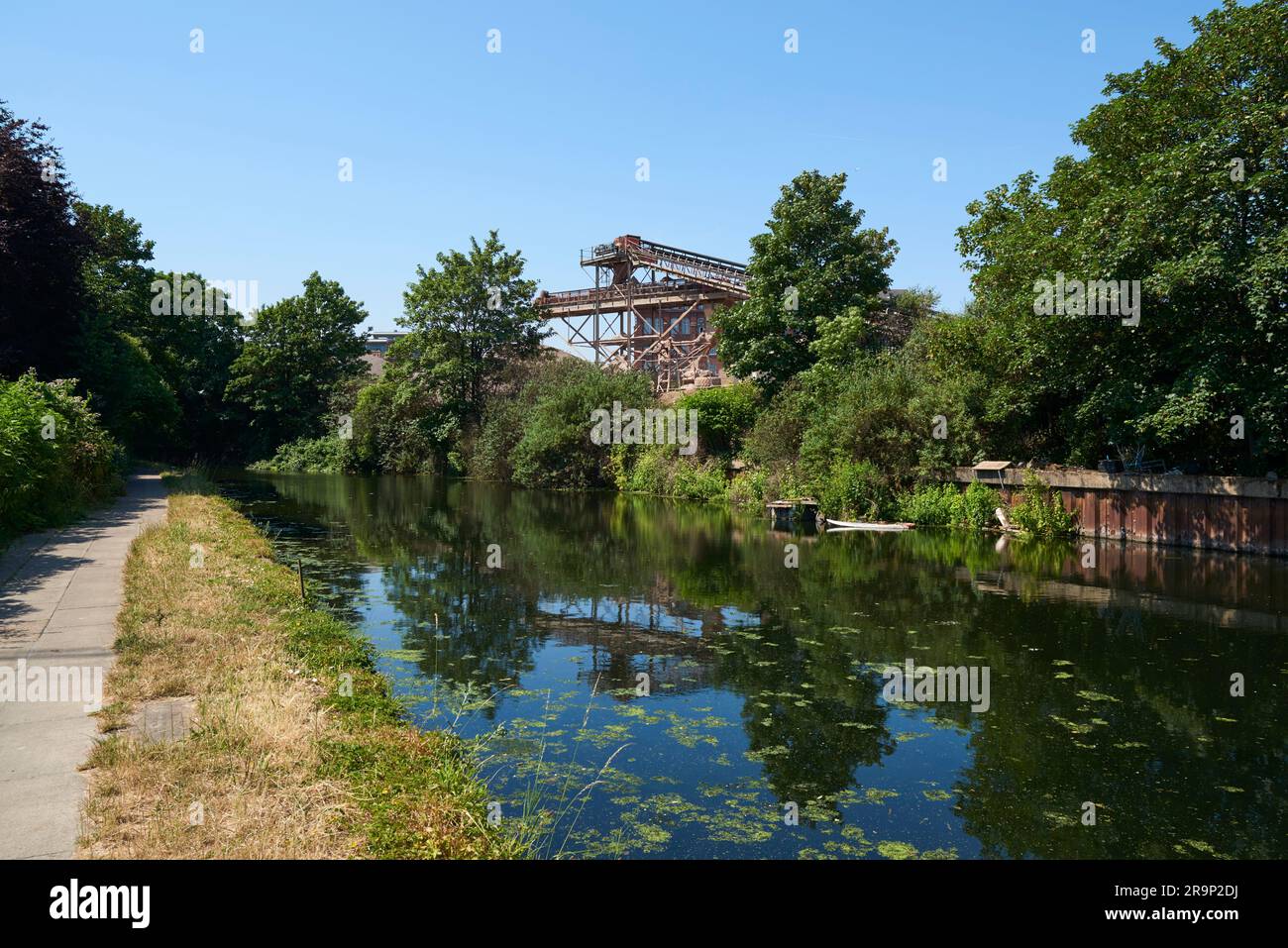 The River Lea Navigation looking south towards Bow, East London UK, in summertime Stock Photohttps://www.alamy.com/image-license-details/?v=1https://www.alamy.com/the-river-lea-navigation-looking-south-towards-bow-east-london-uk-in-summertime-image556748574.html
RM2R9P2DJ–The River Lea Navigation looking south towards Bow, East London UK, in summertime
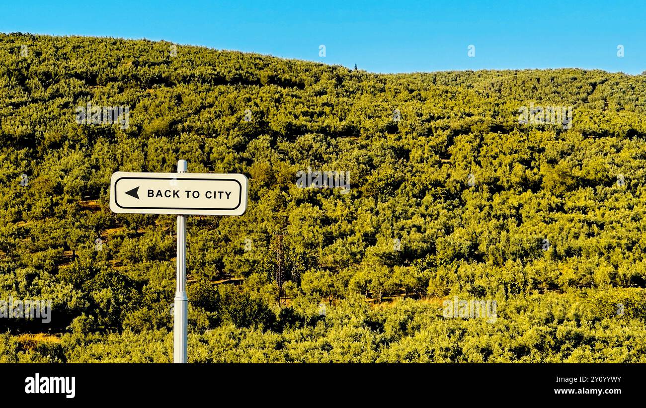 A road sign reading 'Back to City' set against a vast green landscape. The image conveys themes of direction, choice, and the contrast between nature Stock Photohttps://www.alamy.com/image-license-details/?v=1https://www.alamy.com/a-road-sign-reading-back-to-city-set-against-a-vast-green-landscape-the-image-conveys-themes-of-direction-choice-and-the-contrast-between-nature-image620187847.html
RF2Y0YYWY–A road sign reading 'Back to City' set against a vast green landscape. The image conveys themes of direction, choice, and the contrast between nature
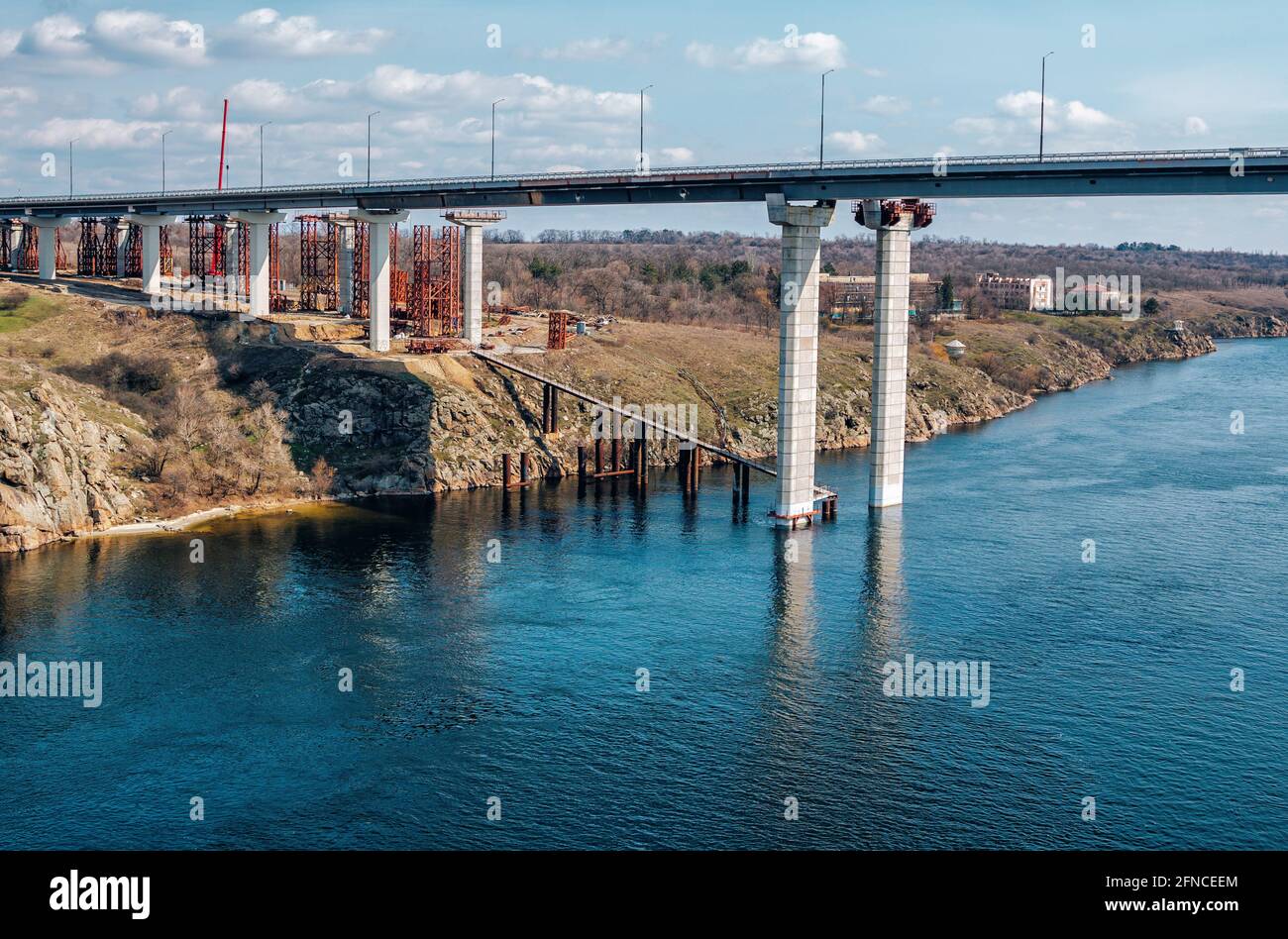 Construction of automobile bridge across the river. Industrial landscape. Stock Photohttps://www.alamy.com/image-license-details/?v=1https://www.alamy.com/construction-of-automobile-bridge-across-the-river-industrial-landscape-image426231420.html
RF2FNCEEM–Construction of automobile bridge across the river. Industrial landscape.
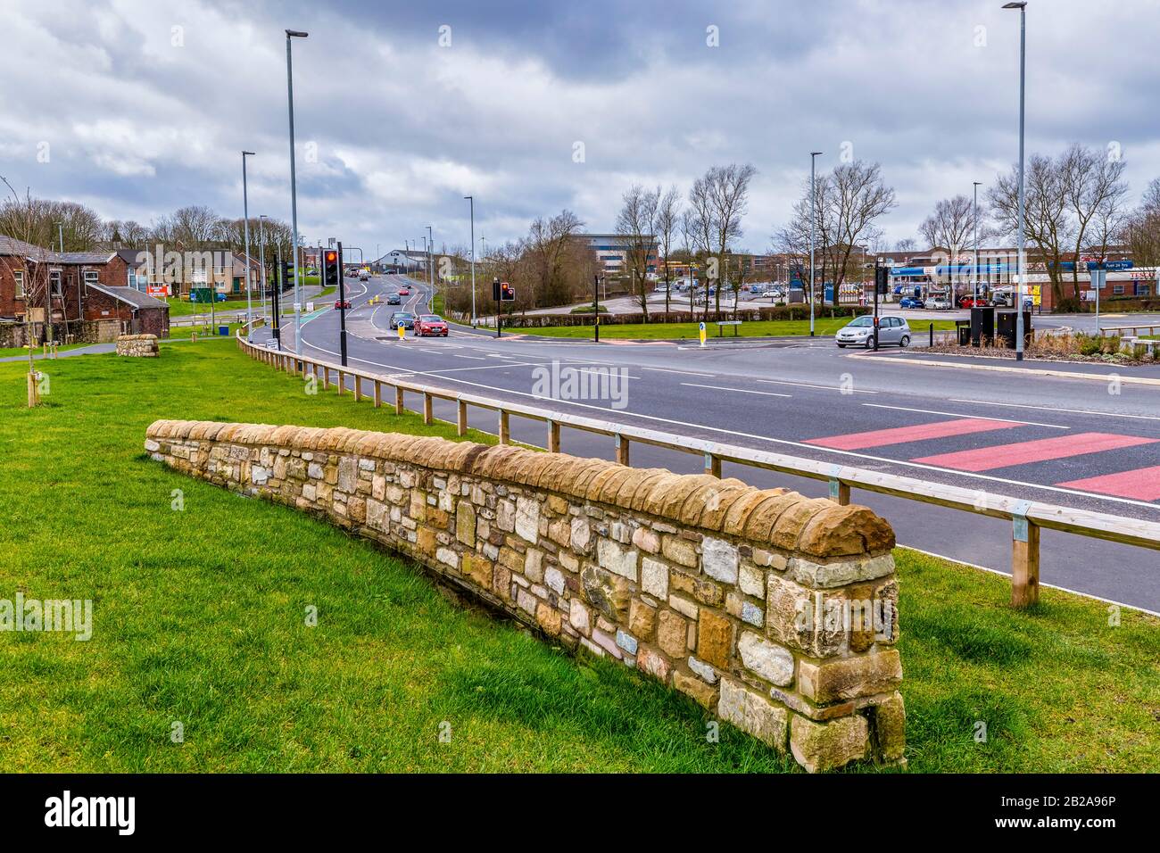 Carl Fogarty Way, Blackburn, Lancashire Stock Photohttps://www.alamy.com/image-license-details/?v=1https://www.alamy.com/carl-fogarty-way-blackburn-lancashire-image345663438.html
RM2B2A96P–Carl Fogarty Way, Blackburn, Lancashire
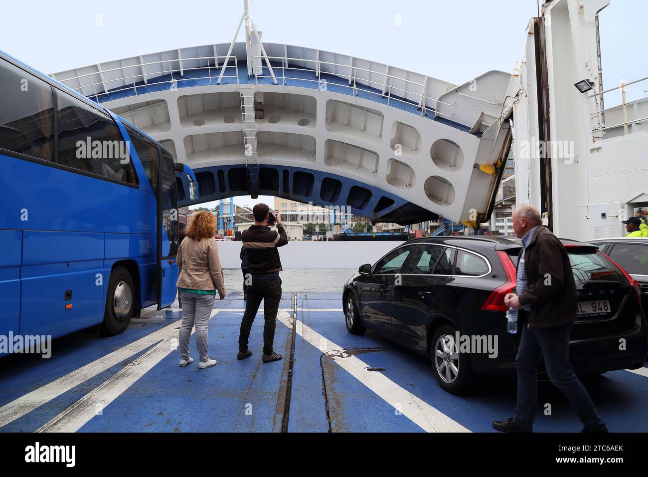 HELSINGBORG, SWEDEN - JUNE 30, 2016: An unidentified man takes pictures of the moment the ferry arrives in Sweden. Stock Photohttps://www.alamy.com/image-license-details/?v=1https://www.alamy.com/helsingborg-sweden-june-30-2016-an-unidentified-man-takes-pictures-of-the-moment-the-ferry-arrives-in-sweden-image575457979.html
RF2TC6AEK–HELSINGBORG, SWEDEN - JUNE 30, 2016: An unidentified man takes pictures of the moment the ferry arrives in Sweden.
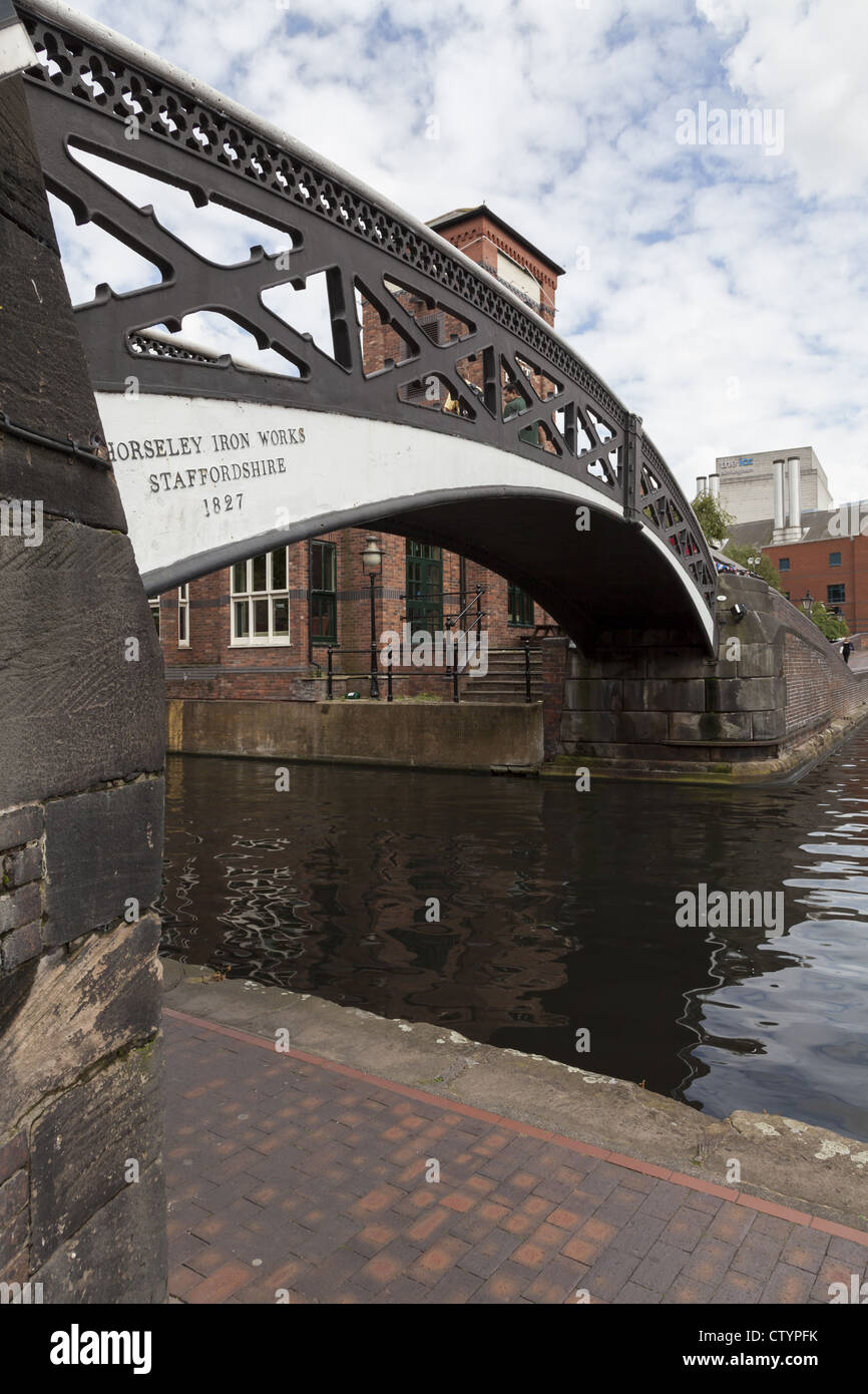 Canal in the centre of Birmingham England Stock Photohttps://www.alamy.com/image-license-details/?v=1https://www.alamy.com/stock-photo-canal-in-the-centre-of-birmingham-england-49782871.html
RMCTYPFK–Canal in the centre of Birmingham England
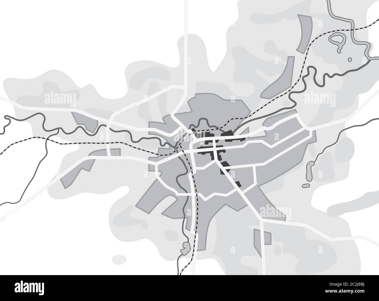 Map of The City. Navigation Tourist Guide, Route Urban Chart, Geographical Location. Stock Photohttps://www.alamy.com/image-license-details/?v=1https://www.alamy.com/map-of-the-city-navigation-tourist-guide-route-urban-chart-geographical-location-image363047206.html
RM2C2J6BJ–Map of The City. Navigation Tourist Guide, Route Urban Chart, Geographical Location.
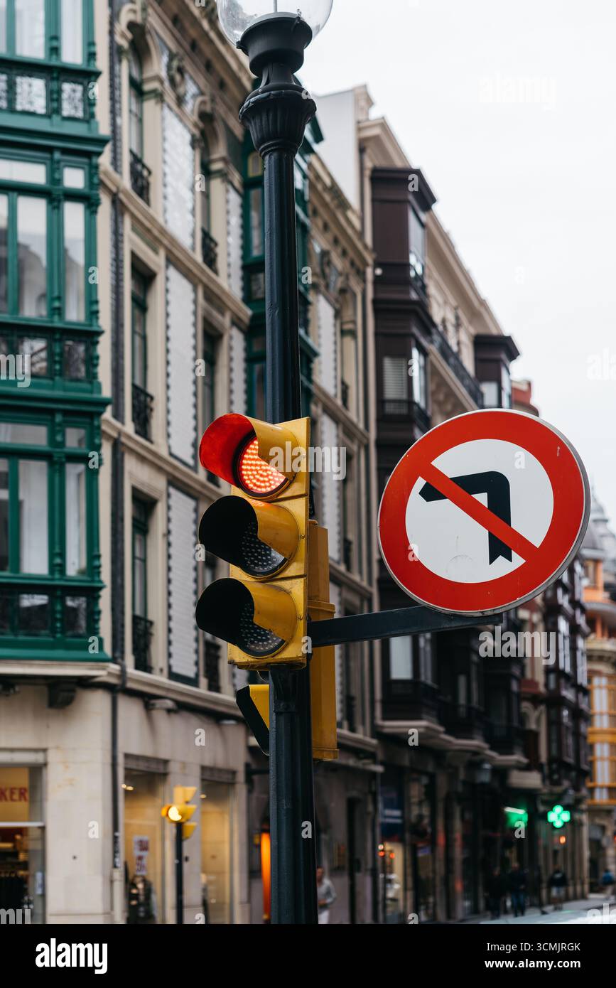 Traffic light showing red and yellow signals with no left turn sign on city street, surrounded by historic architecture, highlighting urban navigation Stock Photohttps://www.alamy.com/image-license-details/?v=1https://www.alamy.com/traffic-light-showing-red-and-yellow-signals-with-no-left-turn-sign-on-city-street-surrounded-by-historic-architecture-highlighting-urban-navigation-image701121475.html
RF3CMJRGK–Traffic light showing red and yellow signals with no left turn sign on city street, surrounded by historic architecture, highlighting urban navigation
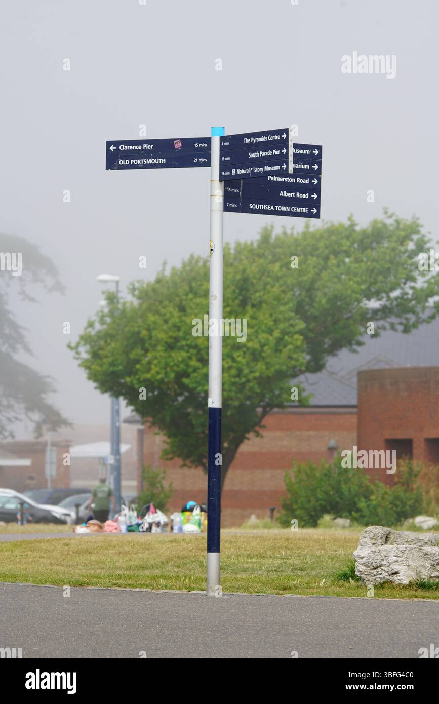 Outdoor Wayfinding Signpost Alongside Grassy Background in Urban Area. Portsmouth, UK Stock Photohttps://www.alamy.com/image-license-details/?v=1https://www.alamy.com/outdoor-wayfinding-signpost-alongside-grassy-background-in-urban-area-portsmouth-uk-image680778896.html
RF3BFG4C0–Outdoor Wayfinding Signpost Alongside Grassy Background in Urban Area. Portsmouth, UK
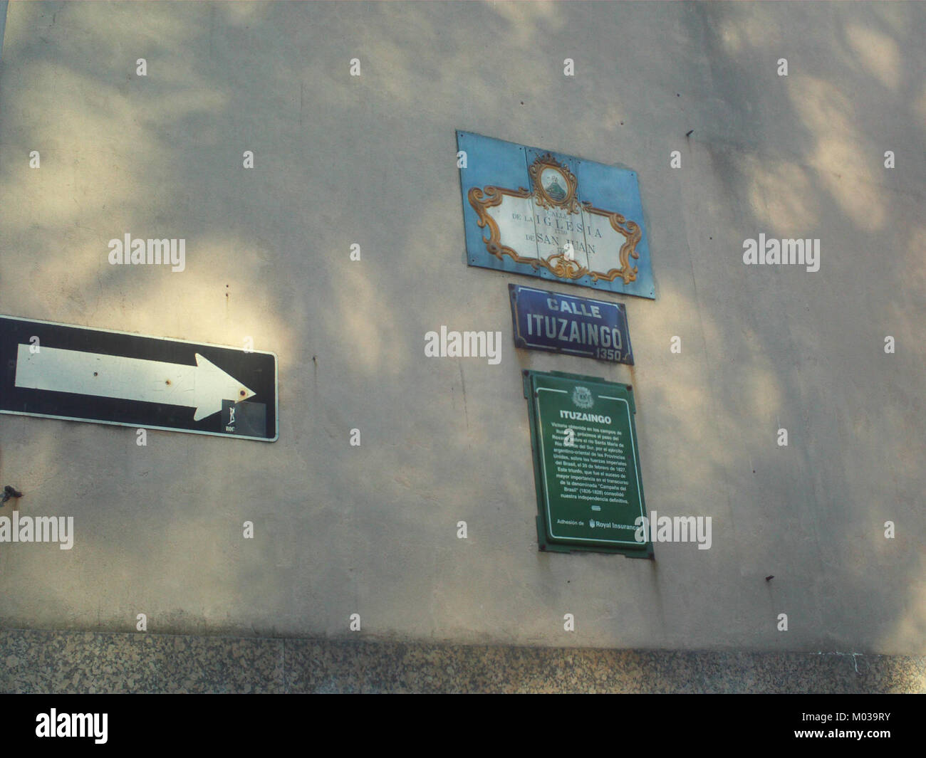 The Calle Ituzaingo sign marks a street in Latin America, often named after historical figures or significant events in regional history. It is an important element of local urban navigation and heritage. Stock Photohttps://www.alamy.com/image-license-details/?v=1https://www.alamy.com/stock-photo-the-calle-ituzaingo-sign-marks-a-street-in-latin-america-often-named-172177263.html
RMM039RY–The Calle Ituzaingo sign marks a street in Latin America, often named after historical figures or significant events in regional history. It is an important element of local urban navigation and heritage.
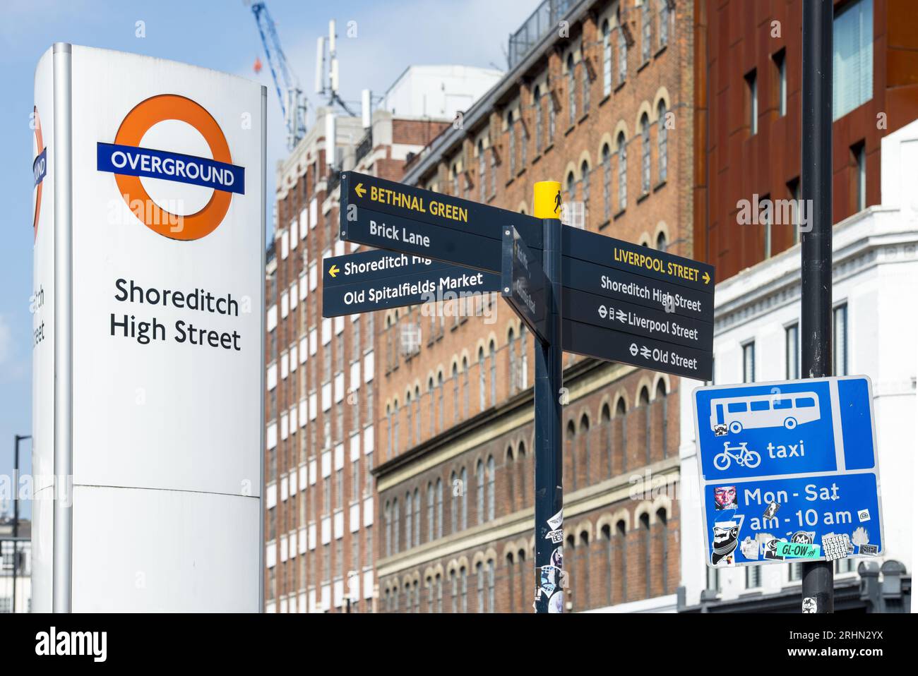 Shoreditch High Street Overground sign and directional street signs in East London, pointing to Brick Lane and Liverpool Street Station. Stock Photohttps://www.alamy.com/image-license-details/?v=1https://www.alamy.com/shoreditch-high-street-overground-sign-and-directional-street-signs-in-east-london-pointing-to-brick-lane-and-liverpool-street-station-image561644270.html
RF2RHN2YX–Shoreditch High Street Overground sign and directional street signs in East London, pointing to Brick Lane and Liverpool Street Station.
 An electric light illuminates a street sign, casting a warm glow. The sign directs traffic or gives information in the context of urban infrastructure, showcasing the role of street lighting in modern city life and navigation. Stock Photohttps://www.alamy.com/image-license-details/?v=1https://www.alamy.com/stock-photo-an-electric-light-illuminates-a-street-sign-casting-a-warm-glow-the-95279440.html
RMFF09W4–An electric light illuminates a street sign, casting a warm glow. The sign directs traffic or gives information in the context of urban infrastructure, showcasing the role of street lighting in modern city life and navigation.
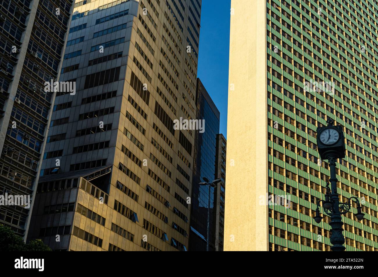 Largo da Carioca Clock in downtown Rio de Janeiro, surrounded by corporate buildings. Made in 1909 by the Brazilian Iron and Bronze Foundry Kobler and Co., it is equipped with an iron lamp holder, topped by a four-faced clock, and decorated by three allegorical figures of winged mermaids, representing, commerce, industry and navigation. Harmonious coexistence between ancient and modern - lamppost from the Belle Époque period share the urban space with corporate buildings. Stock Photohttps://www.alamy.com/image-license-details/?v=1https://www.alamy.com/largo-da-carioca-clock-in-downtown-rio-de-janeiro-surrounded-by-corporate-buildings-made-in-1909-by-the-brazilian-iron-and-bronze-foundry-kobler-and-co-it-is-equipped-with-an-iron-lamp-holder-topped-by-a-four-faced-clock-and-decorated-by-three-allegorical-figures-of-winged-mermaids-representing-commerce-industry-and-navigation-harmonious-coexistence-between-ancient-and-modern-lamppost-from-the-belle-poque-period-share-the-urban-space-with-corporate-buildings-image574200109.html
RM2TA522N–Largo da Carioca Clock in downtown Rio de Janeiro, surrounded by corporate buildings. Made in 1909 by the Brazilian Iron and Bronze Foundry Kobler and Co., it is equipped with an iron lamp holder, topped by a four-faced clock, and decorated by three allegorical figures of winged mermaids, representing, commerce, industry and navigation. Harmonious coexistence between ancient and modern - lamppost from the Belle Époque period share the urban space with corporate buildings.
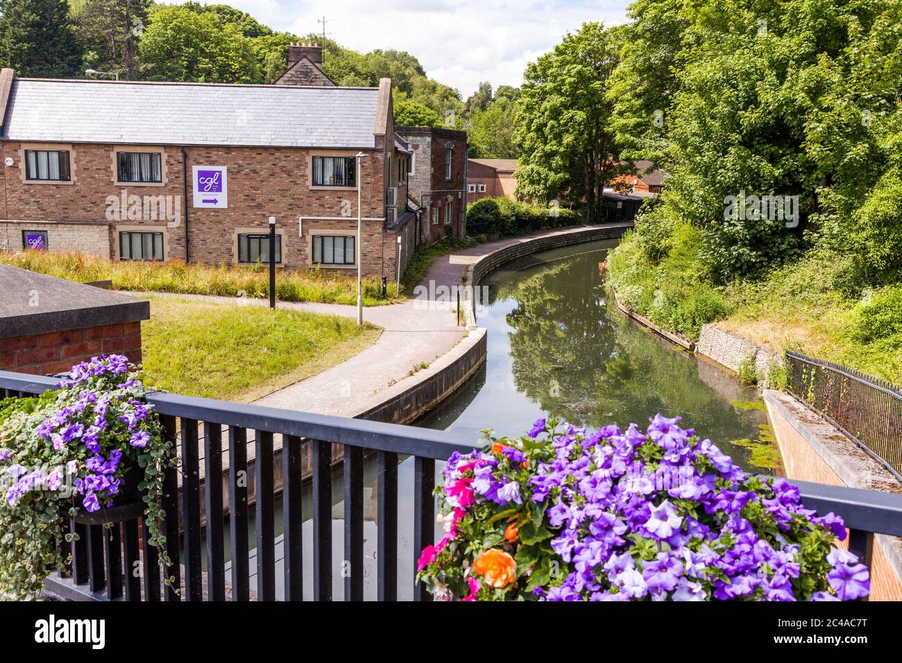 The towpath beside the Stroudwater Navigation (managed by the Cotswolds Canal Trust) at Wallbridge, Stroud, Gloucestershire UK Stock Photohttps://www.alamy.com/image-license-details/?v=1https://www.alamy.com/the-towpath-beside-the-stroudwater-navigation-managed-by-the-cotswolds-canal-trust-at-wallbridge-stroud-gloucestershire-uk-image364105500.html
RM2C4AC7T–The towpath beside the Stroudwater Navigation (managed by the Cotswolds Canal Trust) at Wallbridge, Stroud, Gloucestershire UK
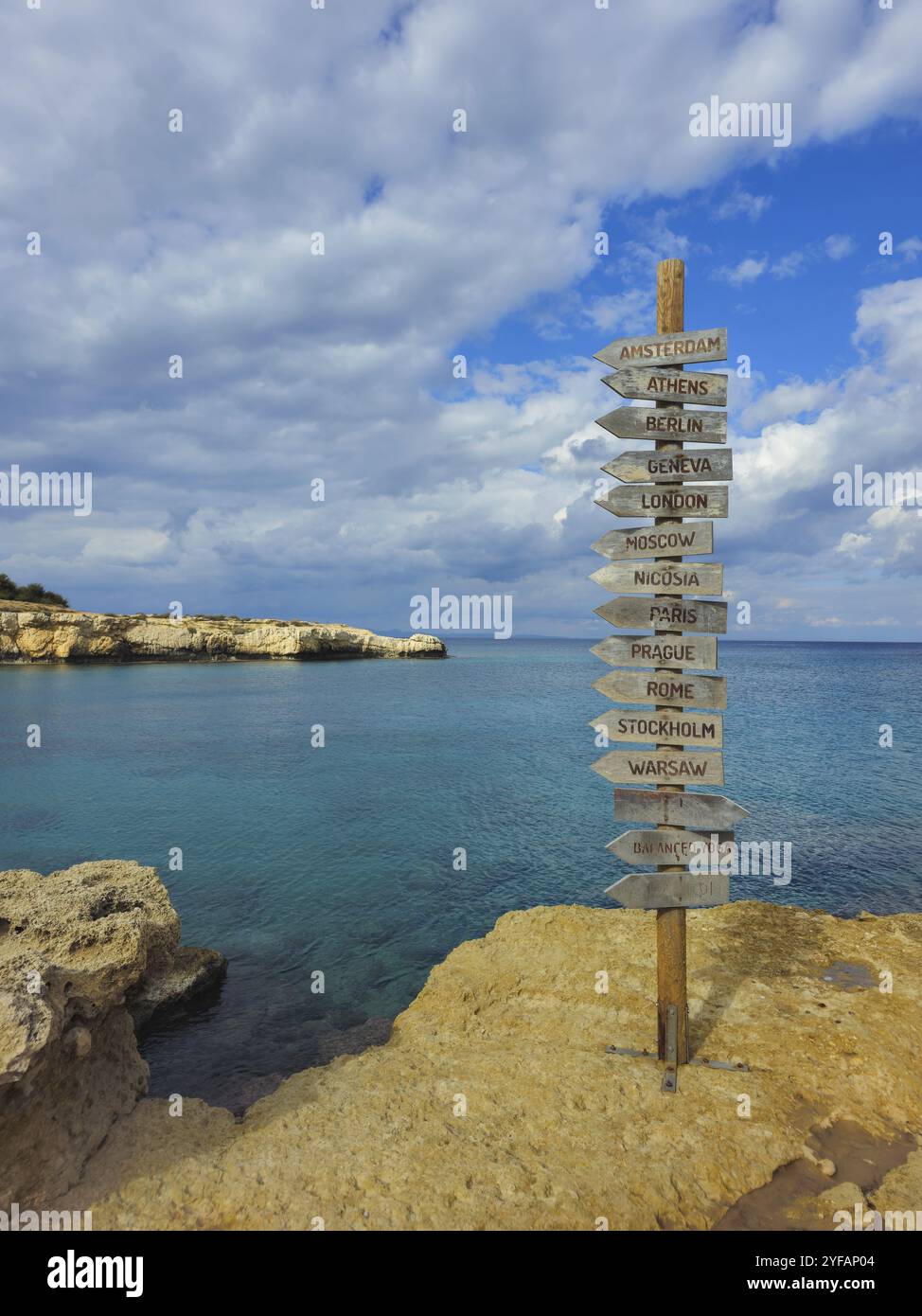 Signpost of direction of European capital cities on a wooden board in the coast against cloudy sky Stock Photohttps://www.alamy.com/image-license-details/?v=1https://www.alamy.com/signpost-of-direction-of-european-capital-cities-on-a-wooden-board-in-the-coast-against-cloudy-sky-image629029860.html
RF2YFAP04–Signpost of direction of European capital cities on a wooden board in the coast against cloudy sky
 Empty street signs in city. Blank blue arrows on pole. Urban road direction indicators. Modern architecture background. Navigation concept. Copy space Stock Photohttps://www.alamy.com/image-license-details/?v=1https://www.alamy.com/empty-street-signs-in-city-blank-blue-arrows-on-pole-urban-road-direction-indicators-modern-architecture-background-navigation-concept-copy-space-image678971239.html
RF3BCHPMR–Empty street signs in city. Blank blue arrows on pole. Urban road direction indicators. Modern architecture background. Navigation concept. Copy space
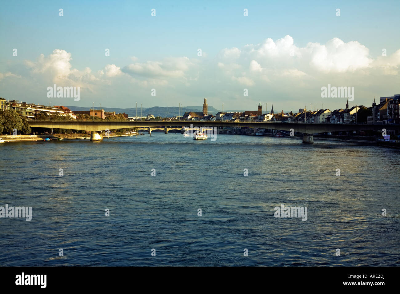 LOOKING UPSTREAM ON THE RIVER RHINE BASLE SWITZERLAND Stock Photohttps://www.alamy.com/image-license-details/?v=1https://www.alamy.com/stock-photo-looking-upstream-on-the-river-rhine-basle-switzerland-16025789.html
RMARE2DJ–LOOKING UPSTREAM ON THE RIVER RHINE BASLE SWITZERLAND
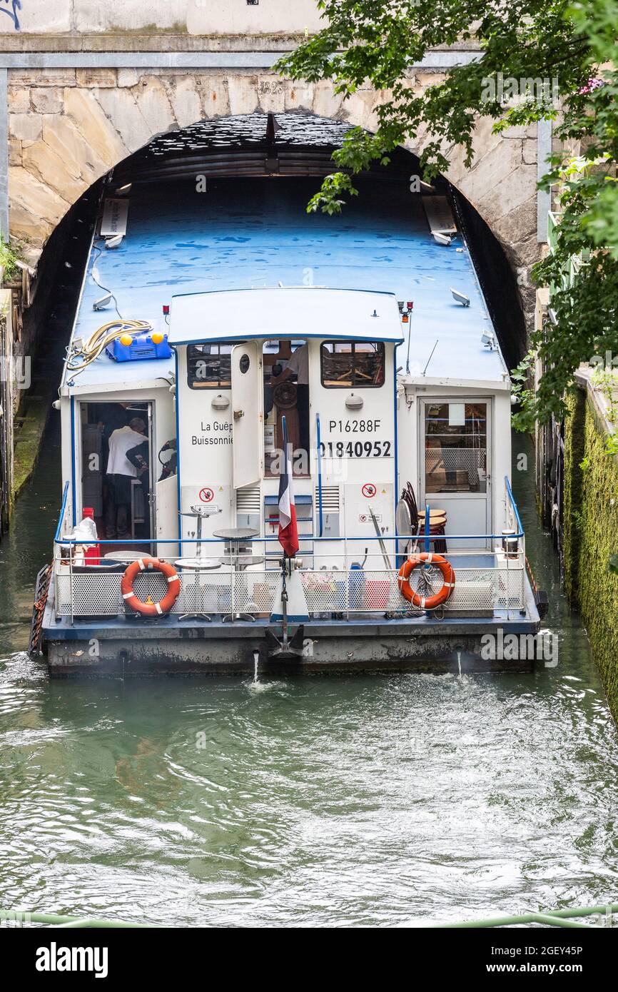 Tourist boat entering under a narrow bridge of the Saint-Martin canal in Paris Stock Photohttps://www.alamy.com/image-license-details/?v=1https://www.alamy.com/tourist-boat-entering-under-a-narrow-bridge-of-the-saint-martin-canal-in-paris-image439460386.html
RF2GEY45P–Tourist boat entering under a narrow bridge of the Saint-Martin canal in Paris
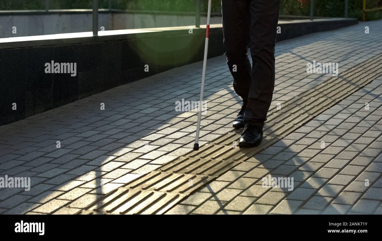 Blind man walk along tactile paving, safe urban navigation for visually impaired Stock Photohttps://www.alamy.com/image-license-details/?v=1https://www.alamy.com/blind-man-walk-along-tactile-paving-safe-urban-navigation-for-visually-impaired-image340327399.html
RF2ANK71Y–Blind man walk along tactile paving, safe urban navigation for visually impaired
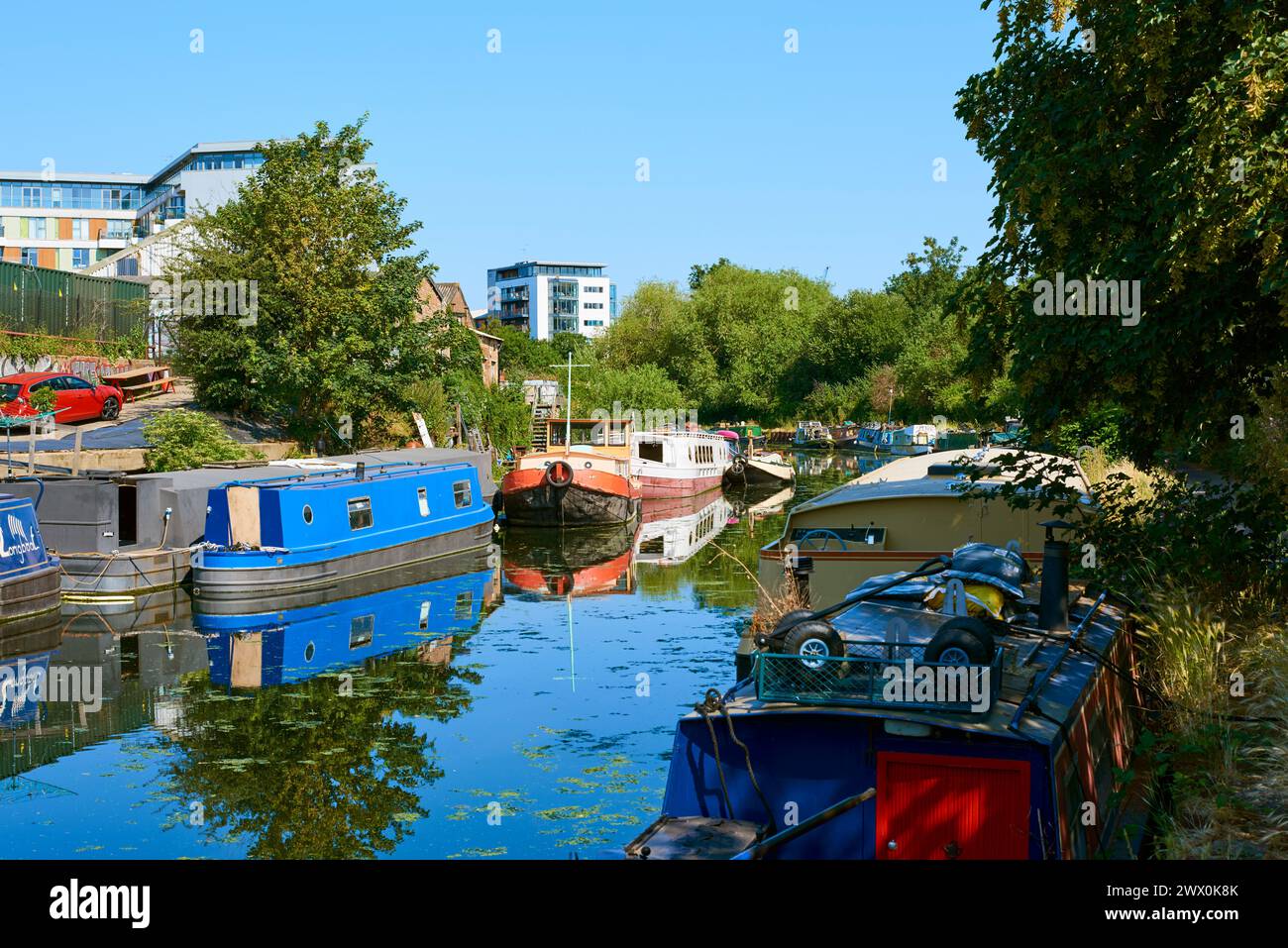 The River Lea Navigation in summertime, near Hackney Wick, London UK, with narrowboats Stock Photohttps://www.alamy.com/image-license-details/?v=1https://www.alamy.com/the-river-lea-navigation-in-summertime-near-hackney-wick-london-uk-with-narrowboats-image601148707.html
RM2WX0K8K–The River Lea Navigation in summertime, near Hackney Wick, London UK, with narrowboats
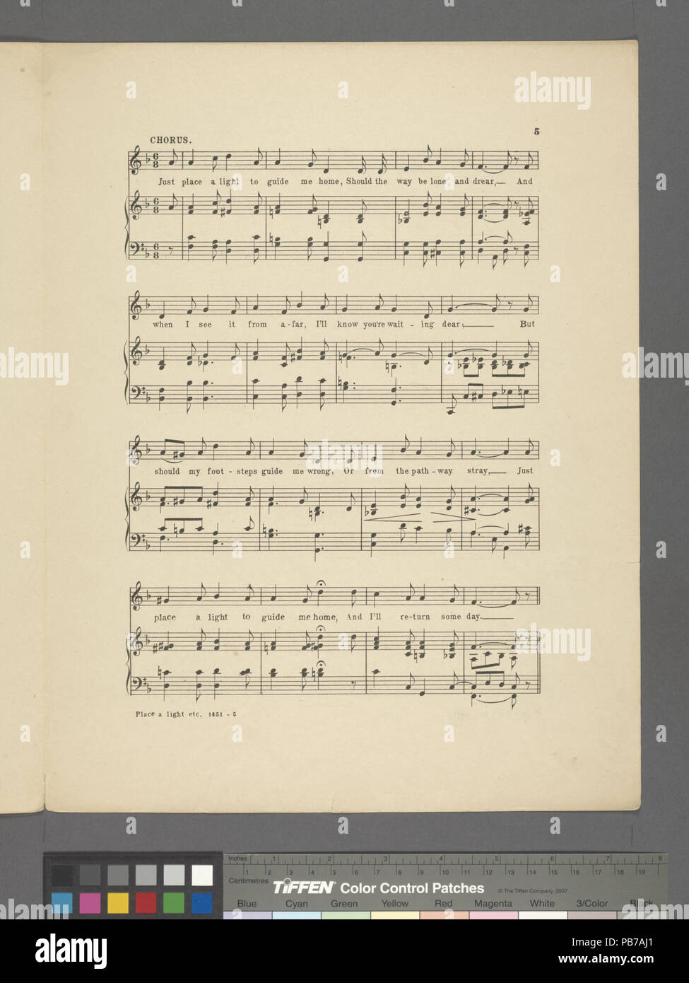 1202 Place a light to guide me home (NYPL Hades-610247-1813851) Stock Photohttps://www.alamy.com/image-license-details/?v=1https://www.alamy.com/1202-place-a-light-to-guide-me-home-nypl-hades-610247-1813851-image213447641.html
RMPB7AJ1–1202 Place a light to guide me home (NYPL Hades-610247-1813851)
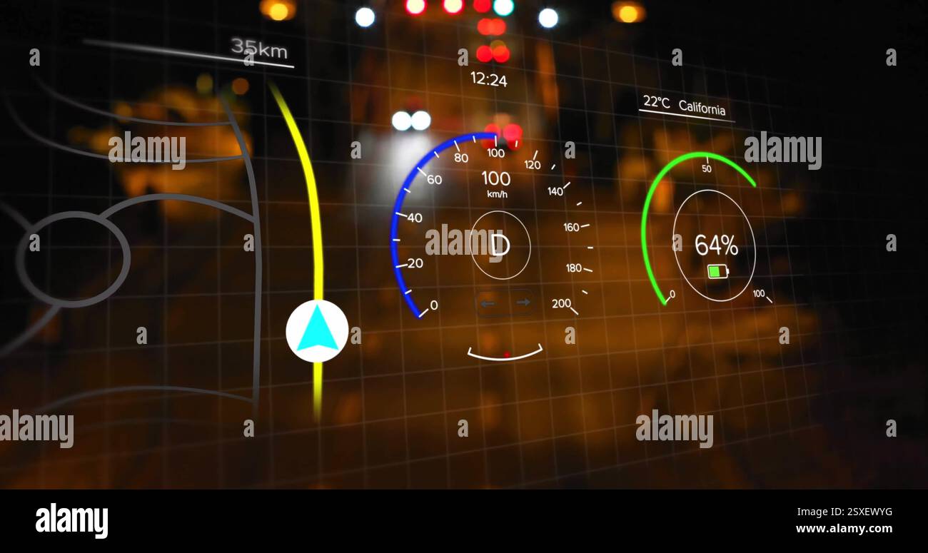 Speedometer and navigation data image over night city street Stock Photohttps://www.alamy.com/image-license-details/?v=1https://www.alamy.com/speedometer-and-navigation-data-image-over-night-city-street-image653092372.html
RF2SXEWYG–Speedometer and navigation data image over night city street
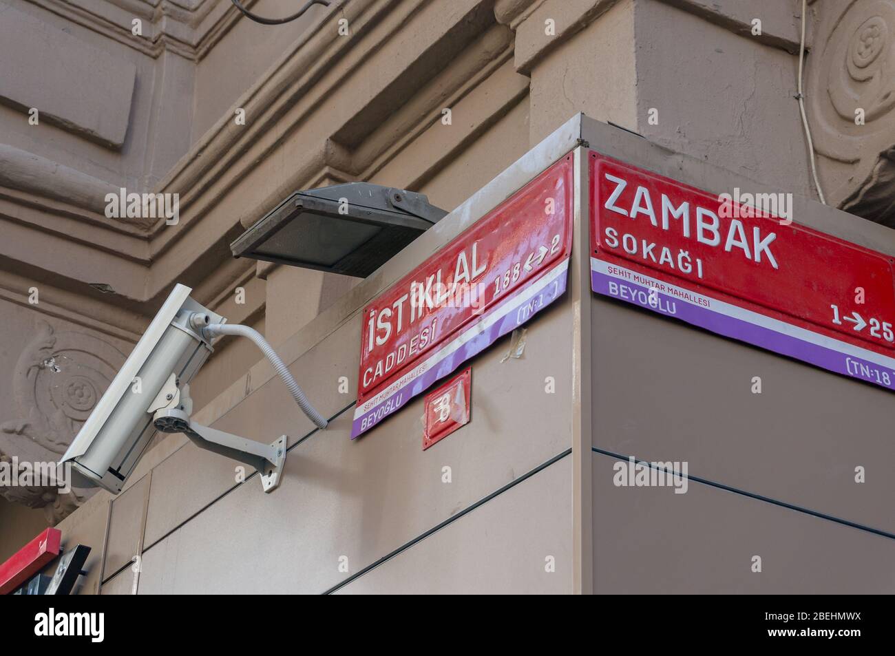 Istanbul, Turkey - August 28, 2013: Red street signs with name of streets. Istiklal street urban navigation plate Stock Photohttps://www.alamy.com/image-license-details/?v=1https://www.alamy.com/istanbul-turkey-august-28-2013-red-street-signs-with-name-of-streets-istiklal-street-urban-navigation-plate-image353202134.html
RF2BEHMWX–Istanbul, Turkey - August 28, 2013: Red street signs with name of streets. Istiklal street urban navigation plate
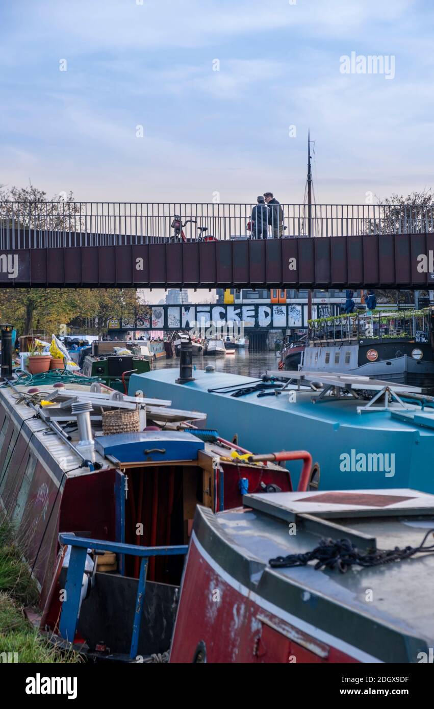 Residential houseboats on the River Lee Navigation, Hackney, London, UK Stock Photohttps://www.alamy.com/image-license-details/?v=1https://www.alamy.com/residential-houseboats-on-the-river-lee-navigation-hackney-london-uk-image389040779.html
RM2DGX9DF–Residential houseboats on the River Lee Navigation, Hackney, London, UK
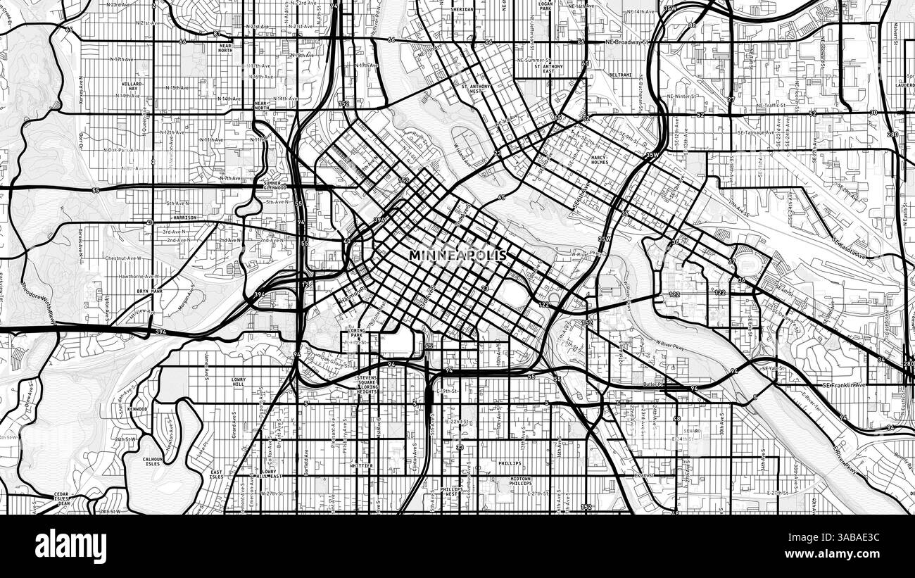 Minimalist Minneapolis Street Map with Labels and Neighborhoods with many details for urban roads, paths and disctricts. Stock Photohttps://www.alamy.com/image-license-details/?v=1https://www.alamy.com/minimalist-minneapolis-street-map-with-labels-and-neighborhoods-with-many-details-for-urban-roads-paths-and-disctricts-image660985792.html
RF3ABAE3C–Minimalist Minneapolis Street Map with Labels and Neighborhoods with many details for urban roads, paths and disctricts.
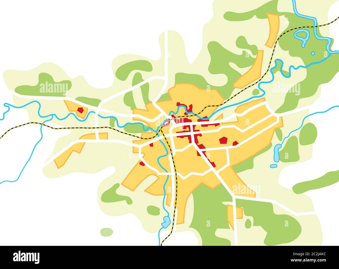 Map of The City. Geographical Location, Navigation Tourist Guide, Route Urban Chart. Stock Photohttps://www.alamy.com/image-license-details/?v=1https://www.alamy.com/map-of-the-city-geographical-location-navigation-tourist-guide-route-urban-chart-image363050560.html
RM2C2JAKC–Map of The City. Geographical Location, Navigation Tourist Guide, Route Urban Chart.
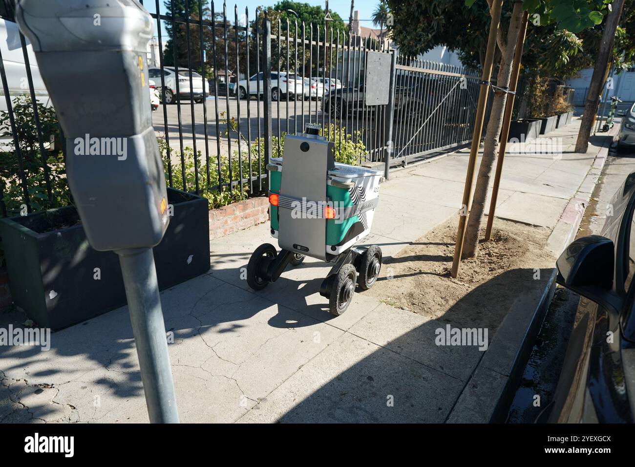 Mobile delivery units robot delivery services in streets of Los Angeles, California Stock Photohttps://www.alamy.com/image-license-details/?v=1https://www.alamy.com/mobile-delivery-units-robot-delivery-services-in-streets-of-los-angeles-california-image628762090.html
RF2YEXGCX–Mobile delivery units robot delivery services in streets of Los Angeles, California
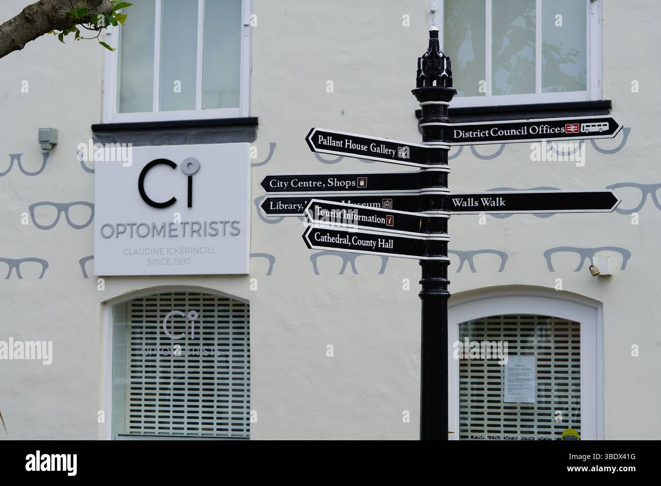 Street Direction Signpost and Optometrist Shop in Urban Setting. Chichester, UK Stock Photohttps://www.alamy.com/image-license-details/?v=1https://www.alamy.com/street-direction-signpost-and-optometrist-shop-in-urban-setting-chichester-uk-image679768812.html
RF3BDX41G–Street Direction Signpost and Optometrist Shop in Urban Setting. Chichester, UK
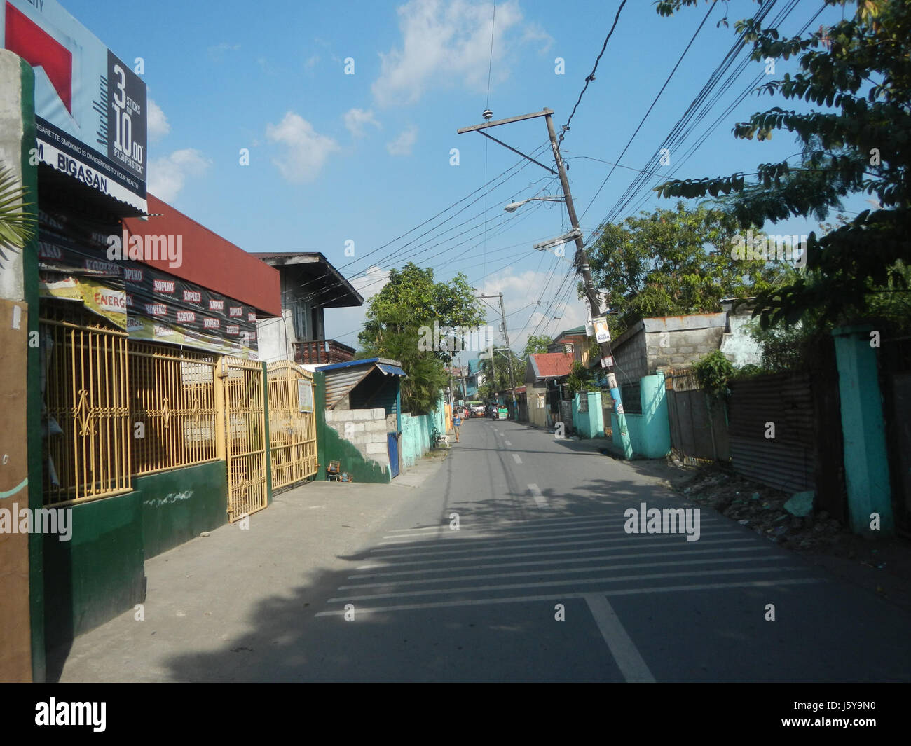 This title refers to a location in Malolos City, Bulacan, Philippines. It points to a specific site or street identified by the name 'Look 1st,' which is likely a reference to a landmark or place within the city, important for local navigation or urban identification. Stock Photohttps://www.alamy.com/image-license-details/?v=1https://www.alamy.com/stock-photo-this-title-refers-to-a-location-in-malolos-city-bulacan-philippines-141356572.html
RMJ5Y9N0–This title refers to a location in Malolos City, Bulacan, Philippines. It points to a specific site or street identified by the name 'Look 1st,' which is likely a reference to a landmark or place within the city, important for local navigation or urban identification.
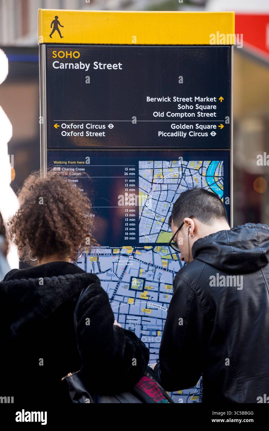 Carnaby Street wayfinding sign in Soho, London, highlighting key destinations like Oxford Circus and Piccadilly Circus in a popular shopping district. Stock Photohttps://www.alamy.com/image-license-details/?v=1https://www.alamy.com/carnaby-street-wayfinding-sign-in-soho-london-highlighting-key-destinations-like-oxford-circus-and-piccadilly-circus-in-a-popular-shopping-district-image691738560.html
RF3C5BBGG–Carnaby Street wayfinding sign in Soho, London, highlighting key destinations like Oxford Circus and Piccadilly Circus in a popular shopping district.
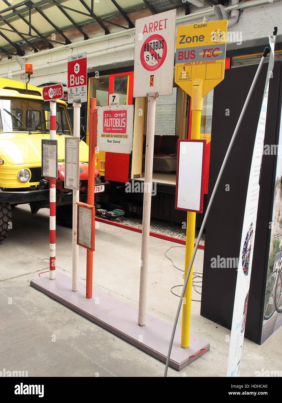 Bus stop signs are part of urban infrastructure, providing essential information for public transportation users. They indicate bus routes, stops, and schedules, ensuring efficient travel and navigation in cities and towns. Stock Photohttps://www.alamy.com/image-license-details/?v=1https://www.alamy.com/stock-photo-bus-stop-signs-are-part-of-urban-infrastructure-providing-essential-128845976.html
RMHDHCA0–Bus stop signs are part of urban infrastructure, providing essential information for public transportation users. They indicate bus routes, stops, and schedules, ensuring efficient travel and navigation in cities and towns.
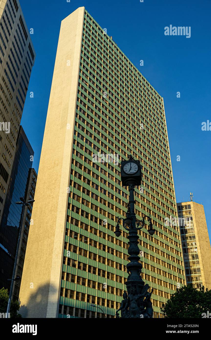 Largo da Carioca Clock in downtown Rio de Janeiro, surrounded by corporate buildings. Made in 1909 by the Brazilian Iron and Bronze Foundry Kobler and Co., it is equipped with an iron lamp holder, topped by a four-faced clock, and decorated by three allegorical figures of winged mermaids, representing, commerce, industry and navigation. Harmonious coexistence between ancient and modern - lamppost from the Belle Époque period share the urban space with corporate buildings. Stock Photohttps://www.alamy.com/image-license-details/?v=1https://www.alamy.com/largo-da-carioca-clock-in-downtown-rio-de-janeiro-surrounded-by-corporate-buildings-made-in-1909-by-the-brazilian-iron-and-bronze-foundry-kobler-and-co-it-is-equipped-with-an-iron-lamp-holder-topped-by-a-four-faced-clock-and-decorated-by-three-allegorical-figures-of-winged-mermaids-representing-commerce-industry-and-navigation-harmonious-coexistence-between-ancient-and-modern-lamppost-from-the-belle-poque-period-share-the-urban-space-with-corporate-buildings-image574200053.html
RM2TA520N–Largo da Carioca Clock in downtown Rio de Janeiro, surrounded by corporate buildings. Made in 1909 by the Brazilian Iron and Bronze Foundry Kobler and Co., it is equipped with an iron lamp holder, topped by a four-faced clock, and decorated by three allegorical figures of winged mermaids, representing, commerce, industry and navigation. Harmonious coexistence between ancient and modern - lamppost from the Belle Époque period share the urban space with corporate buildings.
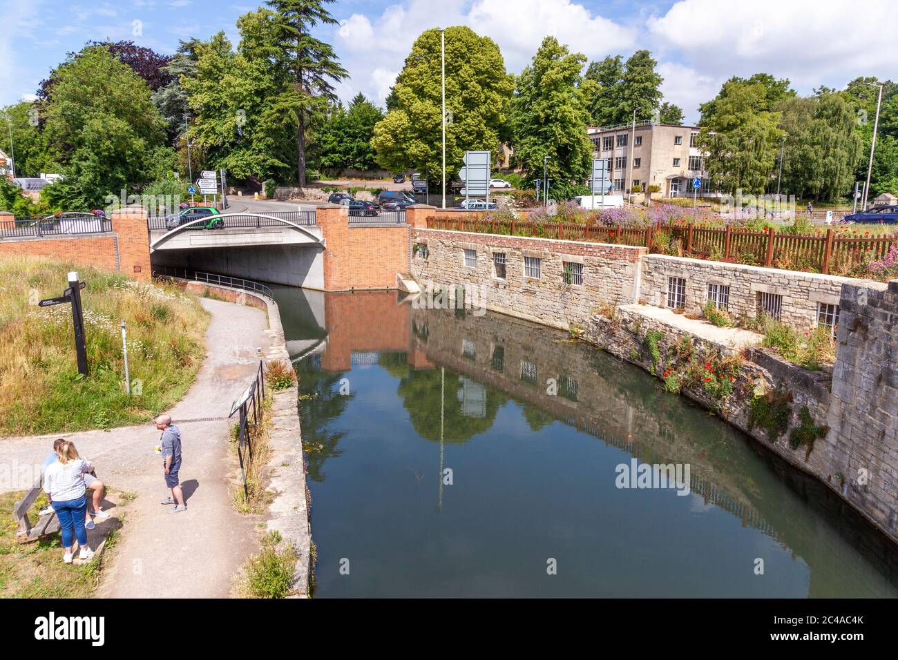 The Stroudwater Navigation (managed by the Cotswolds Canal Trust) passing under the A46 at Wallbridge, Stroud, Gloucestershire UK Stock Photohttps://www.alamy.com/image-license-details/?v=1https://www.alamy.com/the-stroudwater-navigation-managed-by-the-cotswolds-canal-trust-passing-under-the-a46-at-wallbridge-stroud-gloucestershire-uk-image364105411.html
RM2C4AC4K–The Stroudwater Navigation (managed by the Cotswolds Canal Trust) passing under the A46 at Wallbridge, Stroud, Gloucestershire UK
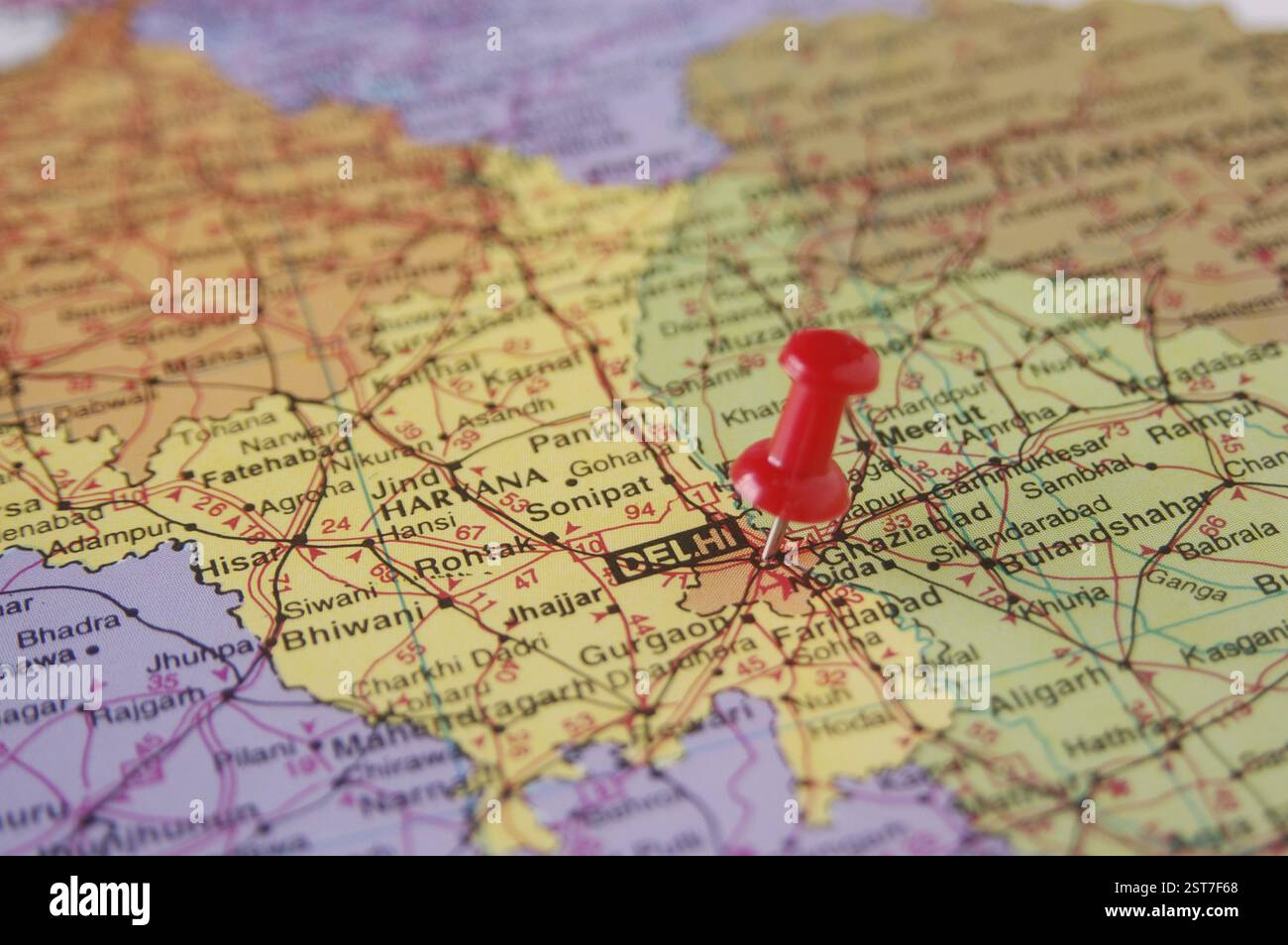 Map of India Spotted Delhi Capital of India by Red colored Board Pin Stock Photohttps://www.alamy.com/image-license-details/?v=1https://www.alamy.com/map-of-india-spotted-delhi-capital-of-india-by-red-colored-board-pin-image651700960.html
RM2ST7F68–Map of India Spotted Delhi Capital of India by Red colored Board Pin
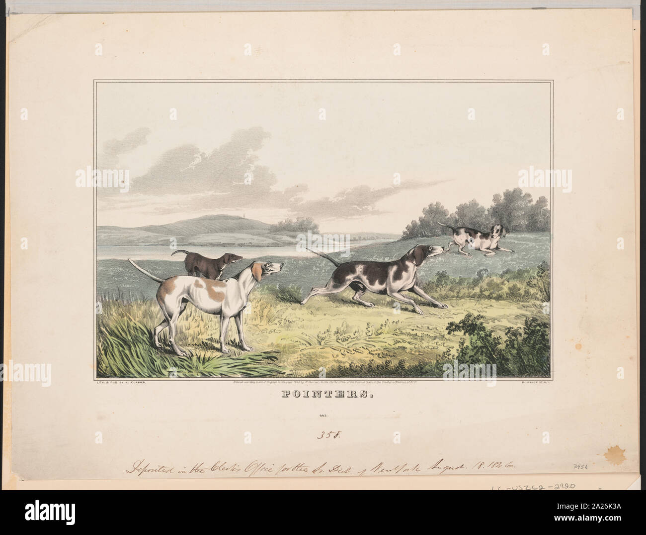 Pointers Stock Photohttps://www.alamy.com/image-license-details/?v=1https://www.alamy.com/pointers-image328373006.html
RM2A26K3A–Pointers
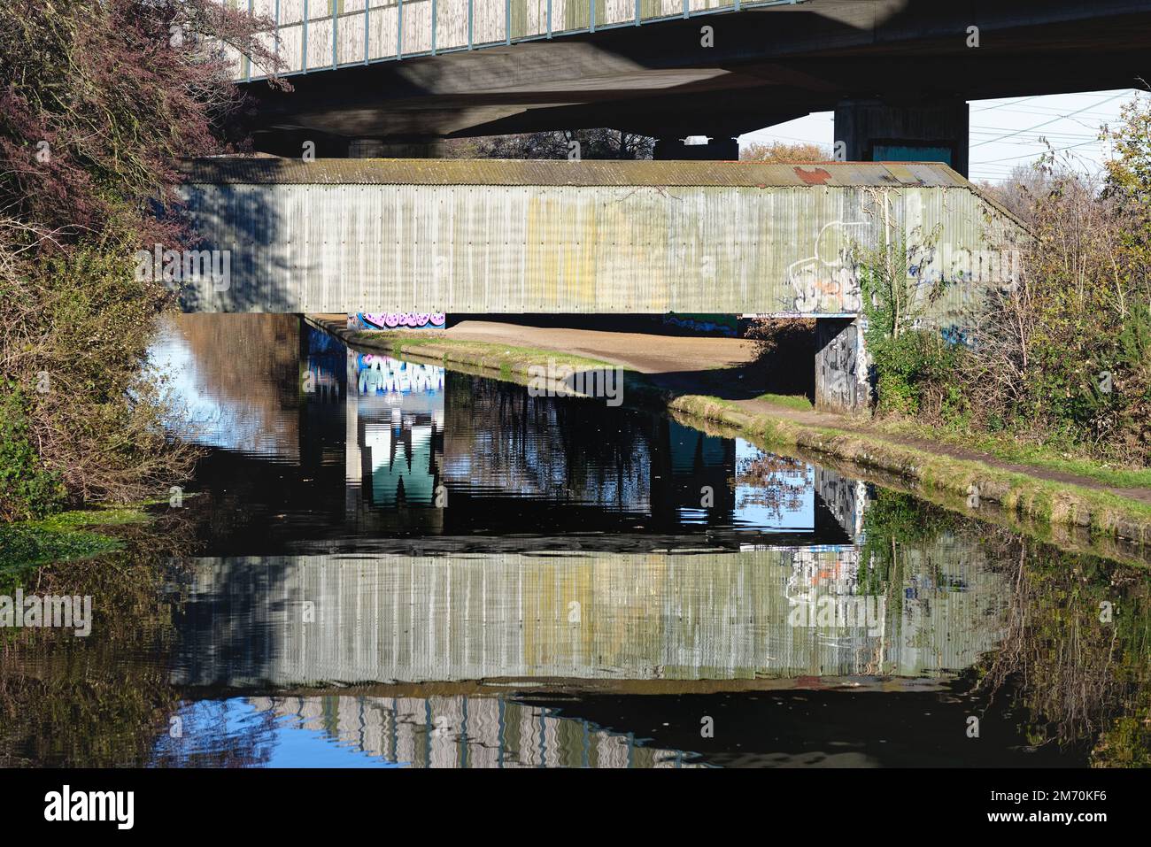 Brutalist industrial structures passing over the River Wey navigation canal ,on a sunny winters day, New Haw Surrey England UK Stock Photohttps://www.alamy.com/image-license-details/?v=1https://www.alamy.com/brutalist-industrial-structures-passing-over-the-river-wey-navigation-canal-on-a-sunny-winters-day-new-haw-surrey-england-uk-image503418586.html
RM2M70KF6–Brutalist industrial structures passing over the River Wey navigation canal ,on a sunny winters day, New Haw Surrey England UK
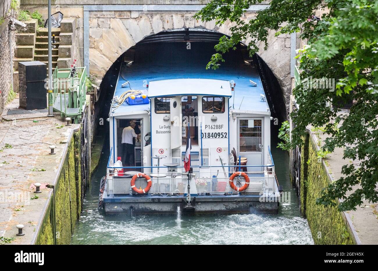 Tourist boat entering under a narrow bridge of the Saint-Martin canal in Paris Stock Photohttps://www.alamy.com/image-license-details/?v=1https://www.alamy.com/tourist-boat-entering-under-a-narrow-bridge-of-the-saint-martin-canal-in-paris-image439460390.html
RF2GEY45X–Tourist boat entering under a narrow bridge of the Saint-Martin canal in Paris
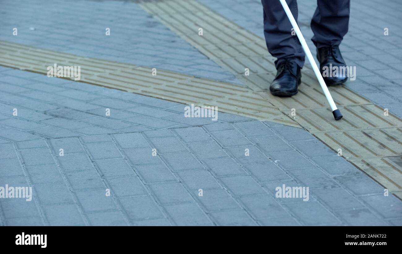 Blind man finds turn on tactile paving using walking stick, urban navigation Stock Photohttps://www.alamy.com/image-license-details/?v=1https://www.alamy.com/blind-man-finds-turn-on-tactile-paving-using-walking-stick-urban-navigation-image340327402.html
RF2ANK722–Blind man finds turn on tactile paving using walking stick, urban navigation
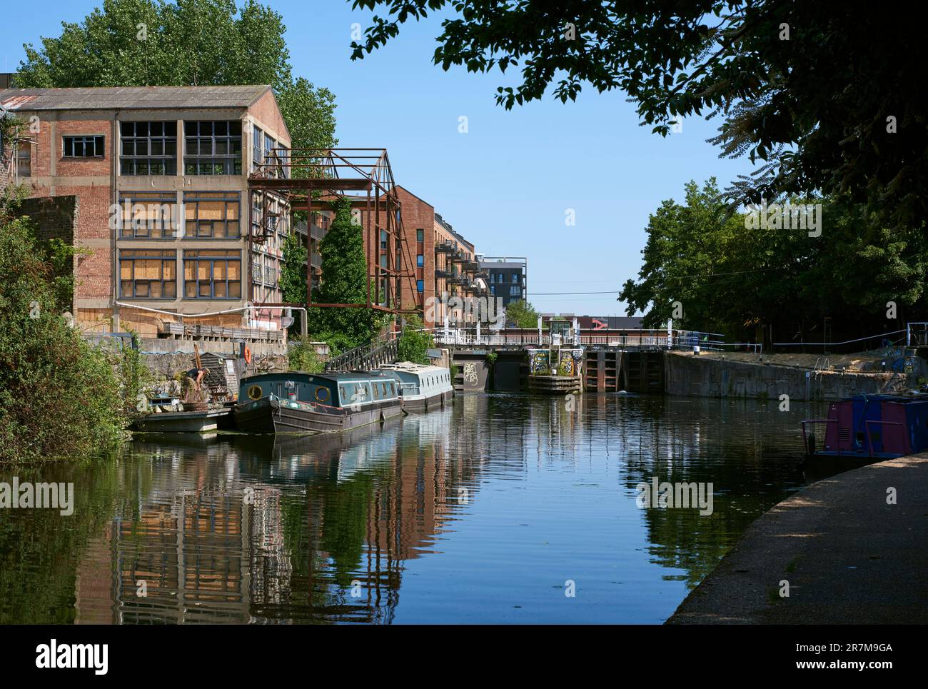 Old Ford Lock on the River Lea Navigation in summertime, East London, UK Stock Photohttps://www.alamy.com/image-license-details/?v=1https://www.alamy.com/old-ford-lock-on-the-river-lea-navigation-in-summertime-east-london-uk-image555480922.html
RM2R7M9GA–Old Ford Lock on the River Lea Navigation in summertime, East London, UK
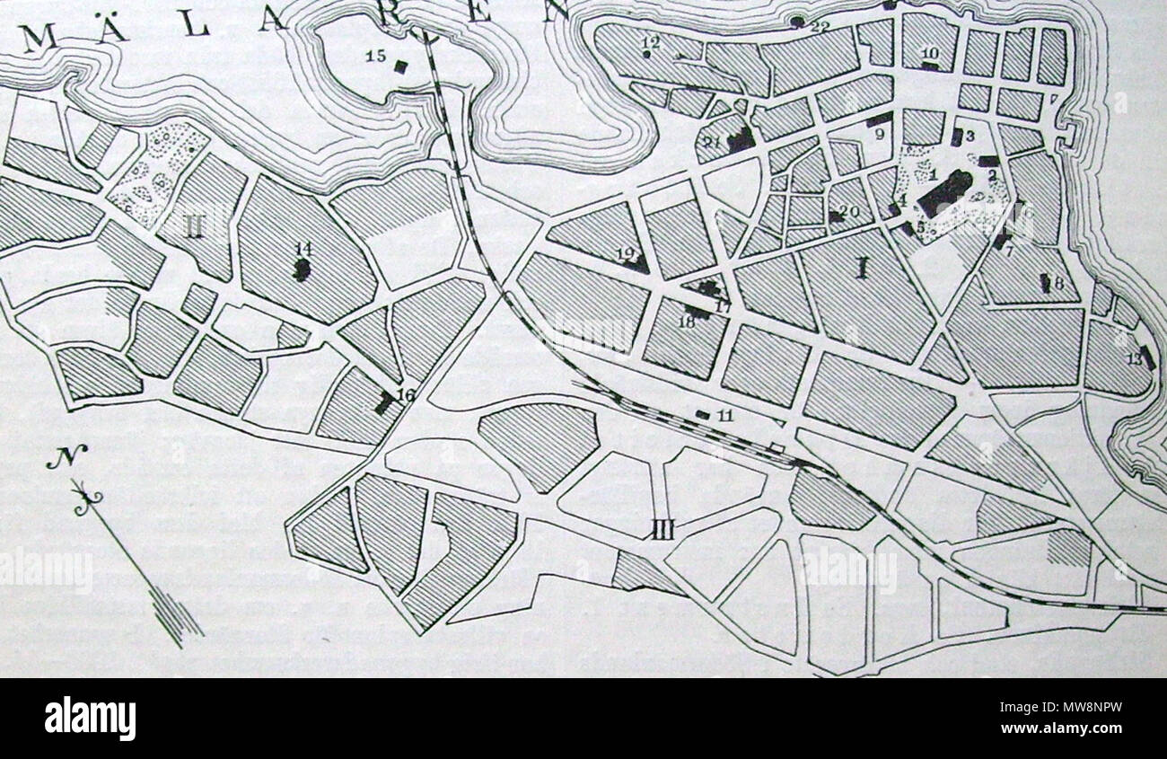 578 Strängnäs karta Stock Photohttps://www.alamy.com/image-license-details/?v=1https://www.alamy.com/578-strngns-karta-image187662801.html
RMMW8NPW–578 Strängnäs karta
 Displaying central HUD reticle hovering above urban crosswalk interface, with world map projection Stock Photohttps://www.alamy.com/image-license-details/?v=1https://www.alamy.com/displaying-central-hud-reticle-hovering-above-urban-crosswalk-interface-with-world-map-projection-image682428318.html
RF3BJ787X–Displaying central HUD reticle hovering above urban crosswalk interface, with world map projection
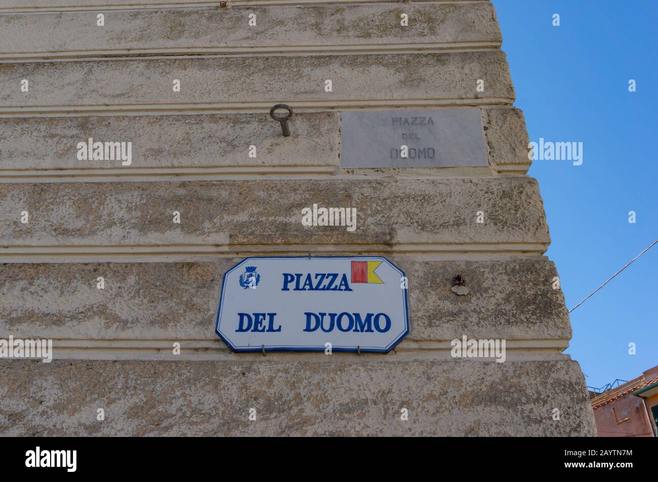 Orbetello, Italy - September 22, 2013: Street sign indicating Piazza del Duomo, Cathedral Square. Tourist and urban navigation in the historic city of Stock Photohttps://www.alamy.com/image-license-details/?v=1https://www.alamy.com/orbetello-italy-september-22-2013-street-sign-indicating-piazza-del-duomo-cathedral-square-tourist-and-urban-navigation-in-the-historic-city-of-image344136232.html
RF2AYTN7M–Orbetello, Italy - September 22, 2013: Street sign indicating Piazza del Duomo, Cathedral Square. Tourist and urban navigation in the historic city of
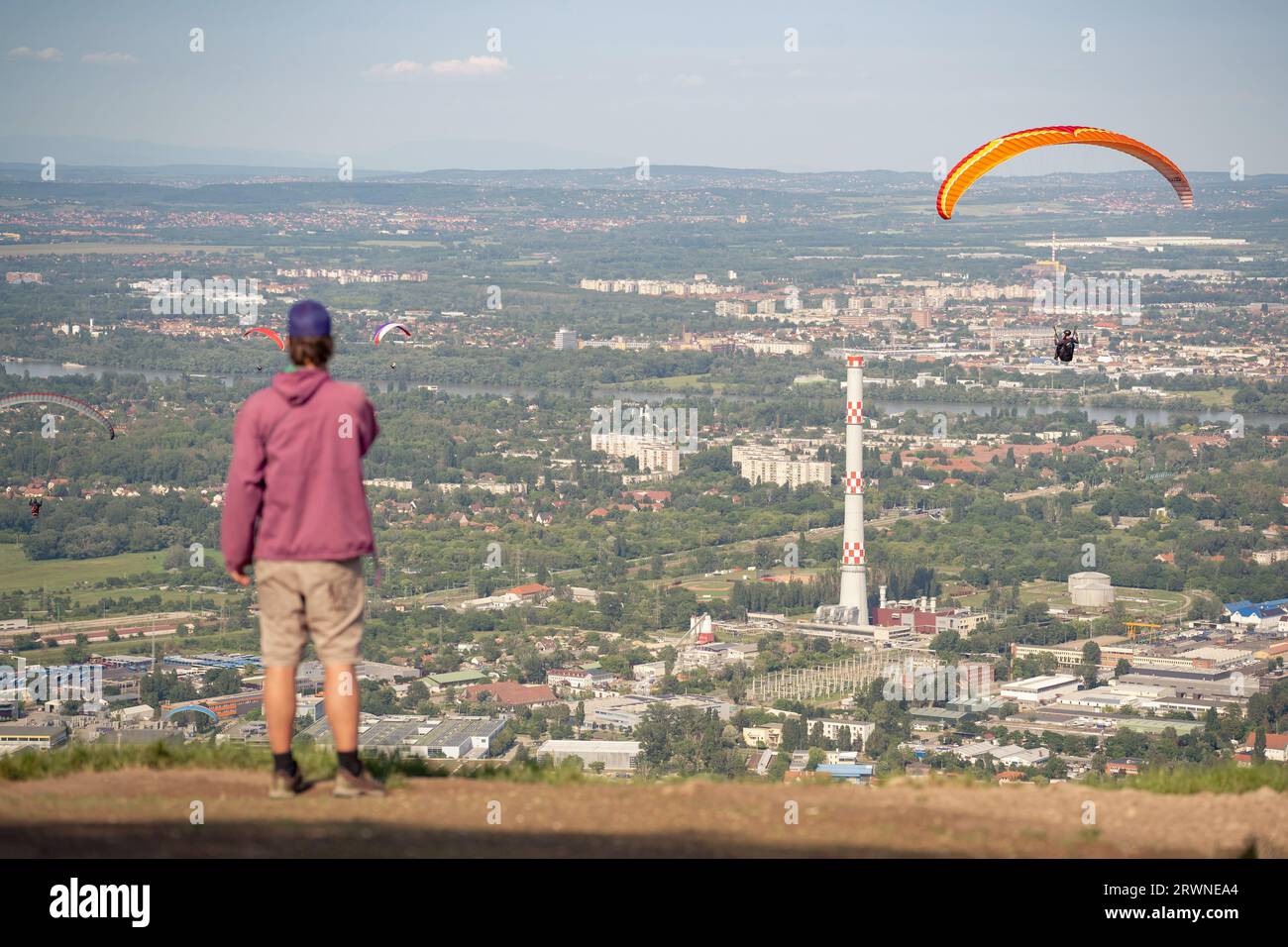 Paragliding over the city. A man assists the paraglider with navigation. Stock Photohttps://www.alamy.com/image-license-details/?v=1https://www.alamy.com/paragliding-over-the-city-a-man-assists-the-paraglider-with-navigation-image566570428.html
RF2RWNEA4–Paragliding over the city. A man assists the paraglider with navigation.
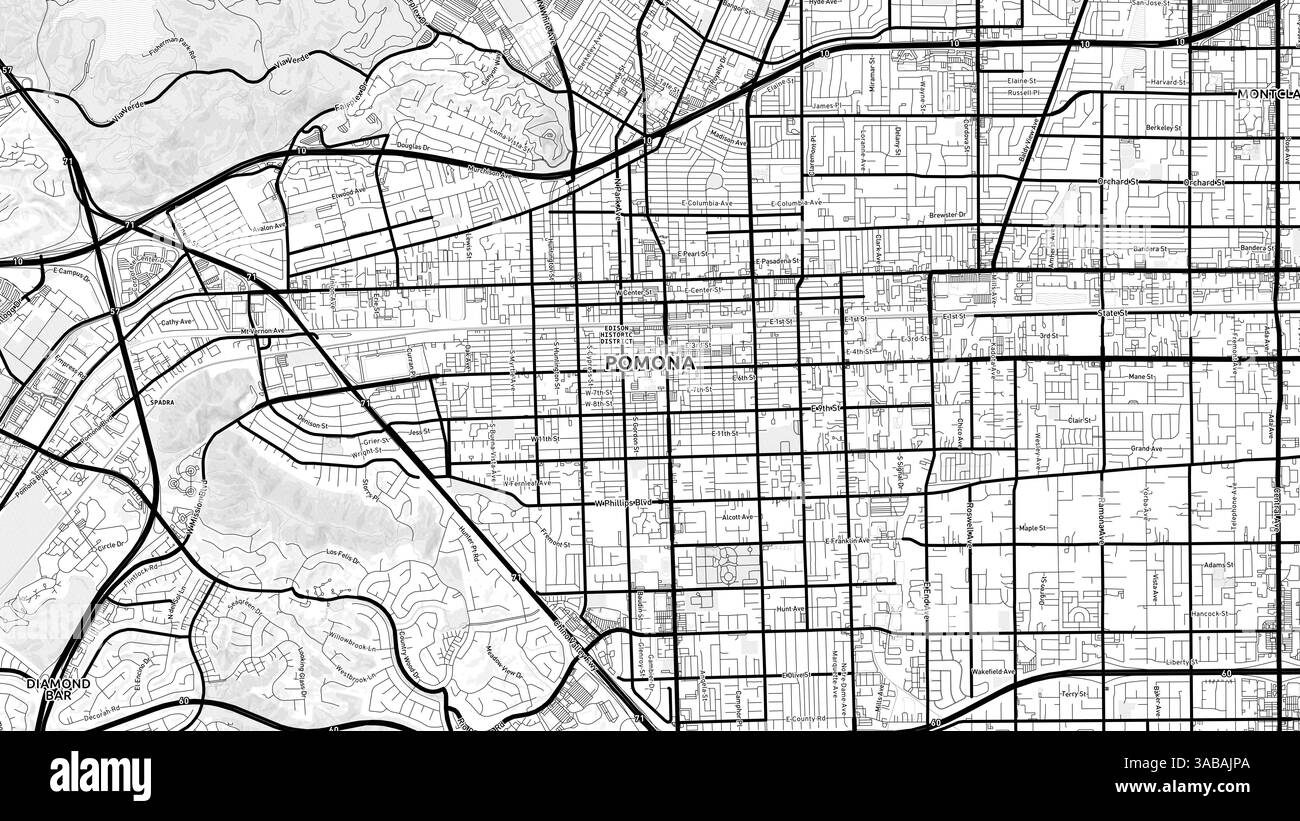 Minimalist Pomona Street Map with Labels and Neighborhoods with many details for urban roads, paths and disctricts. Stock Photohttps://www.alamy.com/image-license-details/?v=1https://www.alamy.com/minimalist-pomona-street-map-with-labels-and-neighborhoods-with-many-details-for-urban-roads-paths-and-disctricts-image660989458.html
RF3ABAJPA–Minimalist Pomona Street Map with Labels and Neighborhoods with many details for urban roads, paths and disctricts.
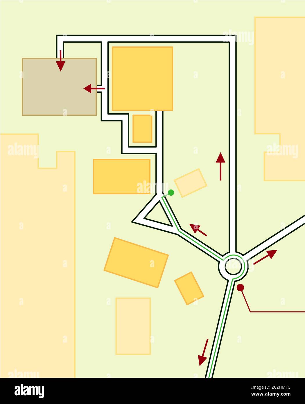 Navigation Map of Driving directions. Geographical Location, Tourist Guide, Route urban chart. Stock Photohttps://www.alamy.com/image-license-details/?v=1https://www.alamy.com/navigation-map-of-driving-directions-geographical-location-tourist-guide-route-urban-chart-image363036340.html
RM2C2HMFG–Navigation Map of Driving directions. Geographical Location, Tourist Guide, Route urban chart.
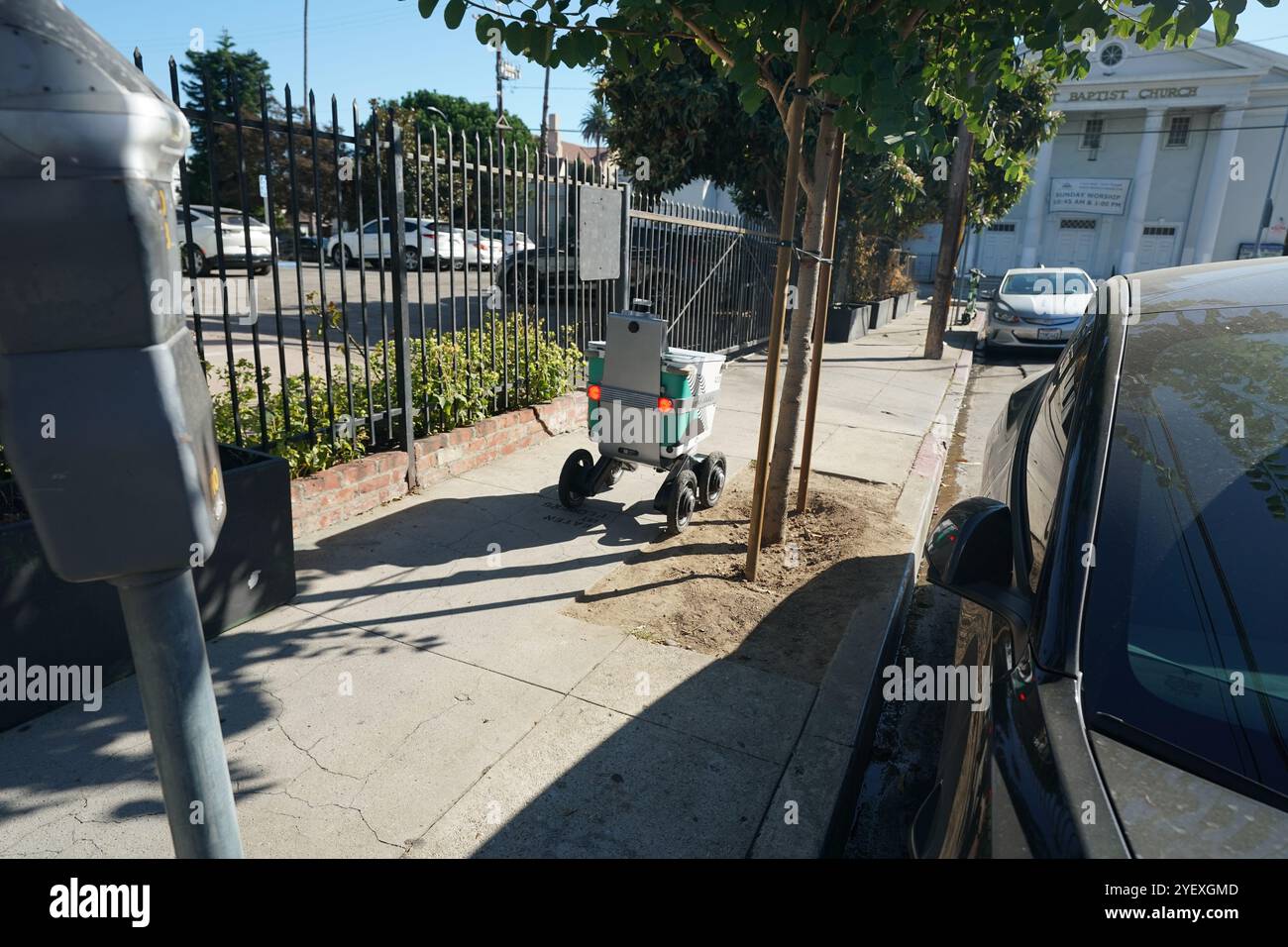 Mobile delivery units robot delivery services in streets of Los Angeles, California Stock Photohttps://www.alamy.com/image-license-details/?v=1https://www.alamy.com/mobile-delivery-units-robot-delivery-services-in-streets-of-los-angeles-california-image628762301.html
RF2YEXGMD–Mobile delivery units robot delivery services in streets of Los Angeles, California
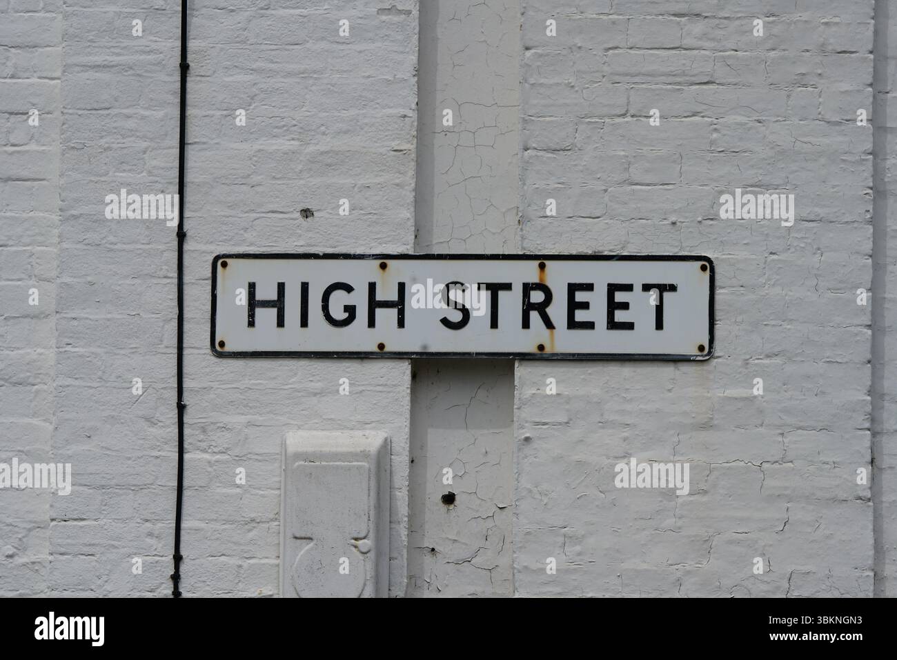 Urban High Street Sign Mounted on a Brick Wall in Daytime. Guildford, England Stock Photohttps://www.alamy.com/image-license-details/?v=1https://www.alamy.com/urban-high-street-sign-mounted-on-a-brick-wall-in-daytime-guildford-england-image683356943.html
RF3BKNGN3–Urban High Street Sign Mounted on a Brick Wall in Daytime. Guildford, England
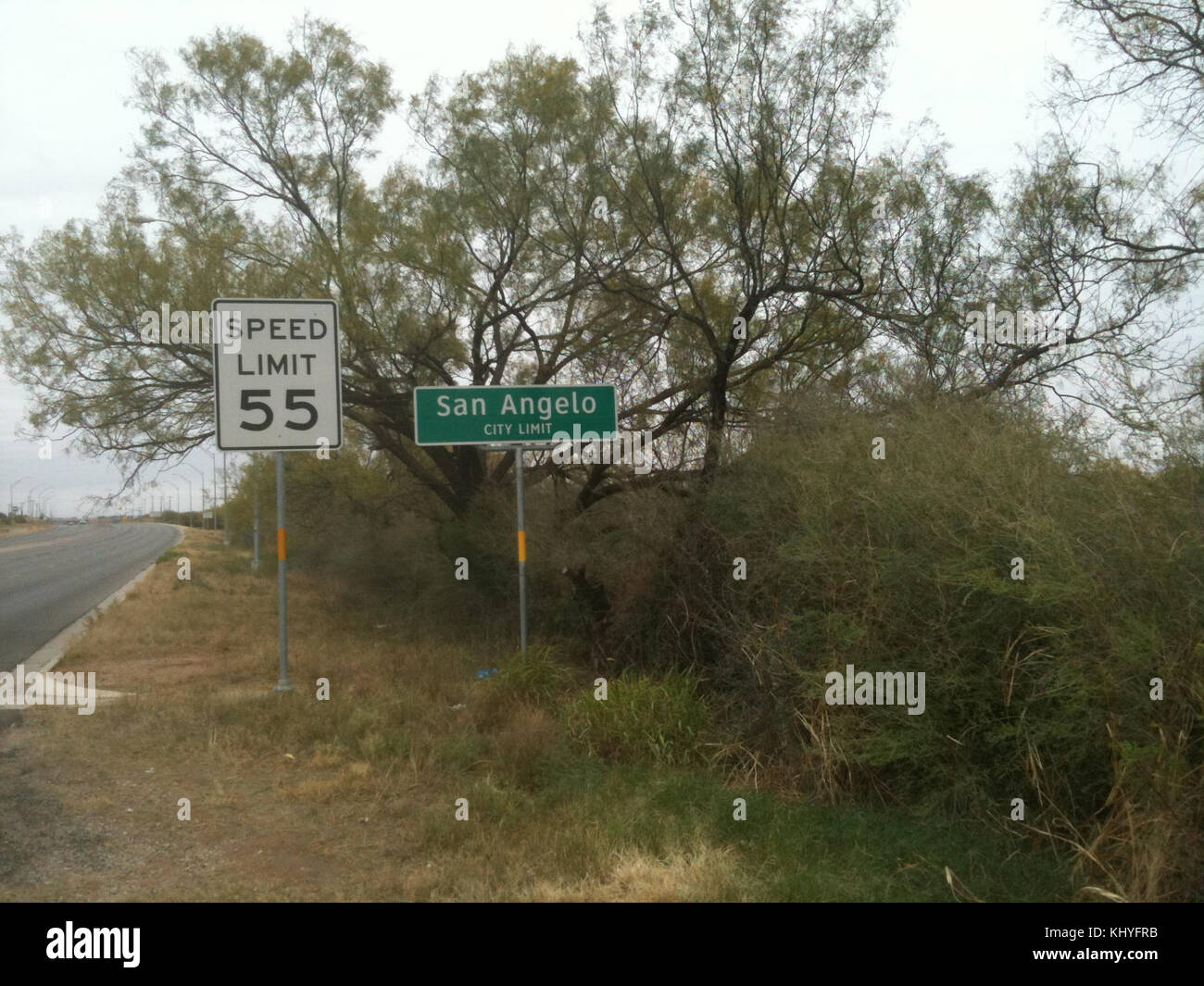 San Angelo road sign Stock Photohttps://www.alamy.com/image-license-details/?v=1https://www.alamy.com/stock-image-san-angelo-road-sign-165947583.html
RMKHYFRB–San Angelo road sign
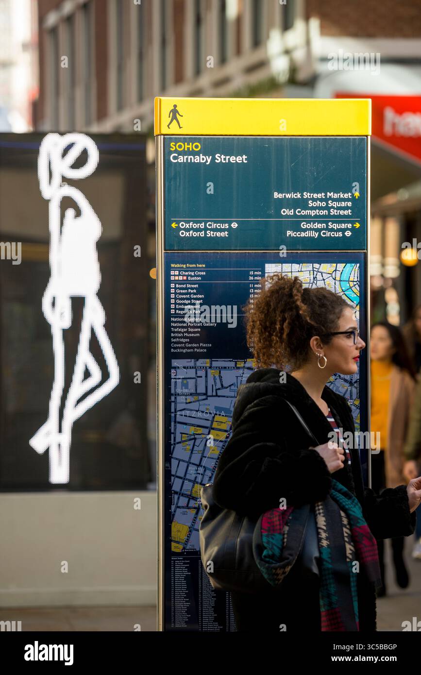 Carnaby Street pedestrian navigation sign in Soho, London, showing local attractions and nearby areas including Oxford Circus and Berwick Street. Stock Photohttps://www.alamy.com/image-license-details/?v=1https://www.alamy.com/carnaby-street-pedestrian-navigation-sign-in-soho-london-showing-local-attractions-and-nearby-areas-including-oxford-circus-and-berwick-street-image691738566.html
RF3C5BBGP–Carnaby Street pedestrian navigation sign in Soho, London, showing local attractions and nearby areas including Oxford Circus and Berwick Street.
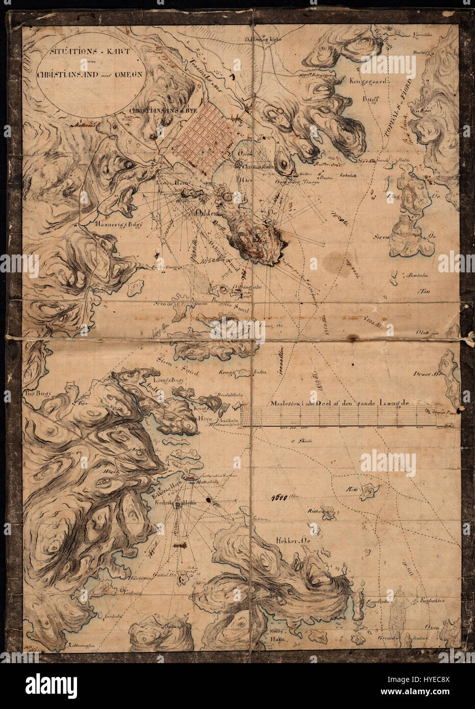 This map, 'Situationskart over Christiansand og Omegn,' offers a detailed layout of the city of Kristiansand and its surroundings in Norway. It showcases key geographical features and landmarks important for navigation and urban planning. Stock Photohttps://www.alamy.com/image-license-details/?v=1https://www.alamy.com/stock-photo-this-map-situationskart-over-christiansand-og-omegn-offers-a-detailed-137385274.html
RMHYEC8X–This map, 'Situationskart over Christiansand og Omegn,' offers a detailed layout of the city of Kristiansand and its surroundings in Norway. It showcases key geographical features and landmarks important for navigation and urban planning.
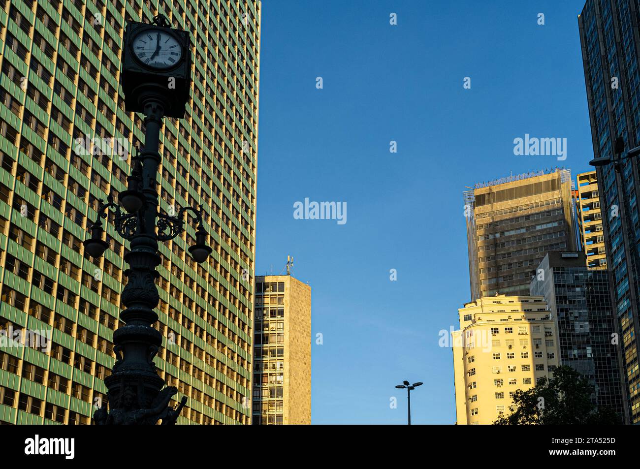 Largo da Carioca Clock in downtown Rio de Janeiro, surrounded by corporate buildings. Made in 1909 by the Brazilian Iron and Bronze Foundry Kobler and Co., it is equipped with an iron lamp holder, topped by a four-faced clock, and decorated by three allegorical figures of winged mermaids, representing, commerce, industry and navigation. Harmonious coexistence between ancient and modern - lamppost from the Belle Époque period share the urban space with corporate buildings. Stock Photohttps://www.alamy.com/image-license-details/?v=1https://www.alamy.com/largo-da-carioca-clock-in-downtown-rio-de-janeiro-surrounded-by-corporate-buildings-made-in-1909-by-the-brazilian-iron-and-bronze-foundry-kobler-and-co-it-is-equipped-with-an-iron-lamp-holder-topped-by-a-four-faced-clock-and-decorated-by-three-allegorical-figures-of-winged-mermaids-representing-commerce-industry-and-navigation-harmonious-coexistence-between-ancient-and-modern-lamppost-from-the-belle-poque-period-share-the-urban-space-with-corporate-buildings-image574200185.html
RM2TA525D–Largo da Carioca Clock in downtown Rio de Janeiro, surrounded by corporate buildings. Made in 1909 by the Brazilian Iron and Bronze Foundry Kobler and Co., it is equipped with an iron lamp holder, topped by a four-faced clock, and decorated by three allegorical figures of winged mermaids, representing, commerce, industry and navigation. Harmonious coexistence between ancient and modern - lamppost from the Belle Époque period share the urban space with corporate buildings.
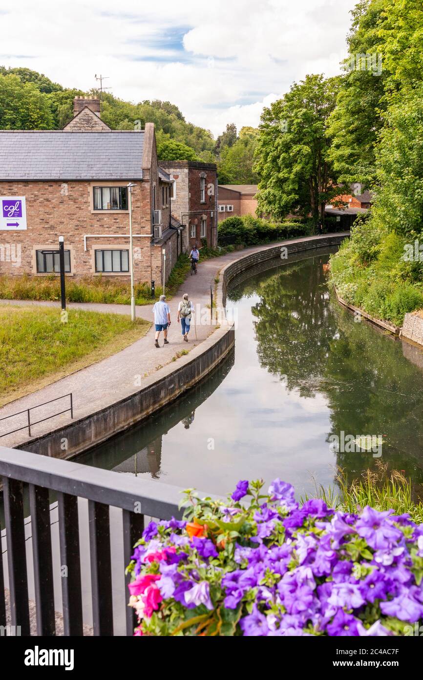 Walkers on the towpath beside the Stroudwater Navigation (managed by the Cotswolds Canal Trust) at Wallbridge, Stroud, Gloucestershire UK Stock Photohttps://www.alamy.com/image-license-details/?v=1https://www.alamy.com/walkers-on-the-towpath-beside-the-stroudwater-navigation-managed-by-the-cotswolds-canal-trust-at-wallbridge-stroud-gloucestershire-uk-image364105491.html
RM2C4AC7F–Walkers on the towpath beside the Stroudwater Navigation (managed by the Cotswolds Canal Trust) at Wallbridge, Stroud, Gloucestershire UK
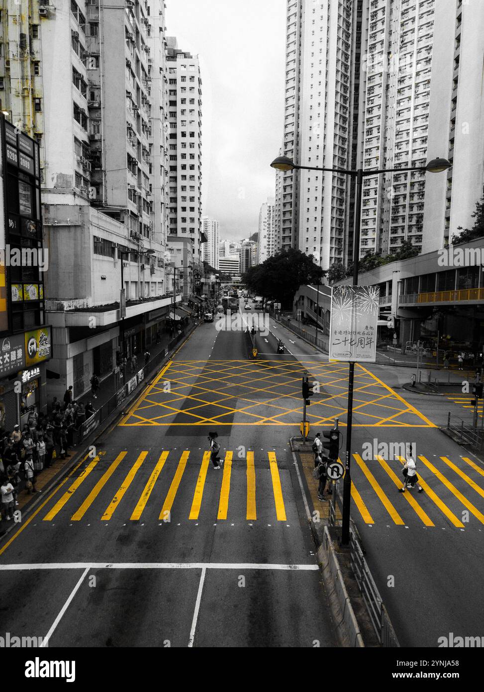 Monochrome Cityscape Highlighting Vibrant Yellow Crosswalks in a Bustling Urban Intersection with Tall Residential Buildings. Stock Photohttps://www.alamy.com/image-license-details/?v=1https://www.alamy.com/monochrome-cityscape-highlighting-vibrant-yellow-crosswalks-in-a-bustling-urban-intersection-with-tall-residential-buildings-image632884148.html
RF2YNJA58–Monochrome Cityscape Highlighting Vibrant Yellow Crosswalks in a Bustling Urban Intersection with Tall Residential Buildings.
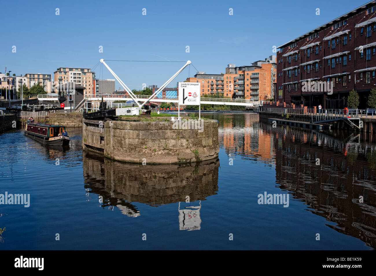 Leeds Lock on the Aire and Calder navigation, West Yorkshire Stock Photohttps://www.alamy.com/image-license-details/?v=1https://www.alamy.com/stock-photo-leeds-lock-on-the-aire-and-calder-navigation-west-yorkshire-25852549.html
RMBE1K59–Leeds Lock on the Aire and Calder navigation, West Yorkshire
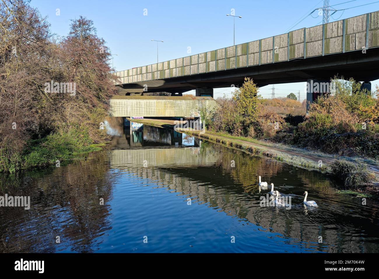 Brutalist industrial structures passing over the River Wey navigation canal ,on a sunny winters day, New Haw Surrey England UK Stock Photohttps://www.alamy.com/image-license-details/?v=1https://www.alamy.com/brutalist-industrial-structures-passing-over-the-river-wey-navigation-canal-on-a-sunny-winters-day-new-haw-surrey-england-uk-image503418297.html
RM2M70K4W–Brutalist industrial structures passing over the River Wey navigation canal ,on a sunny winters day, New Haw Surrey England UK
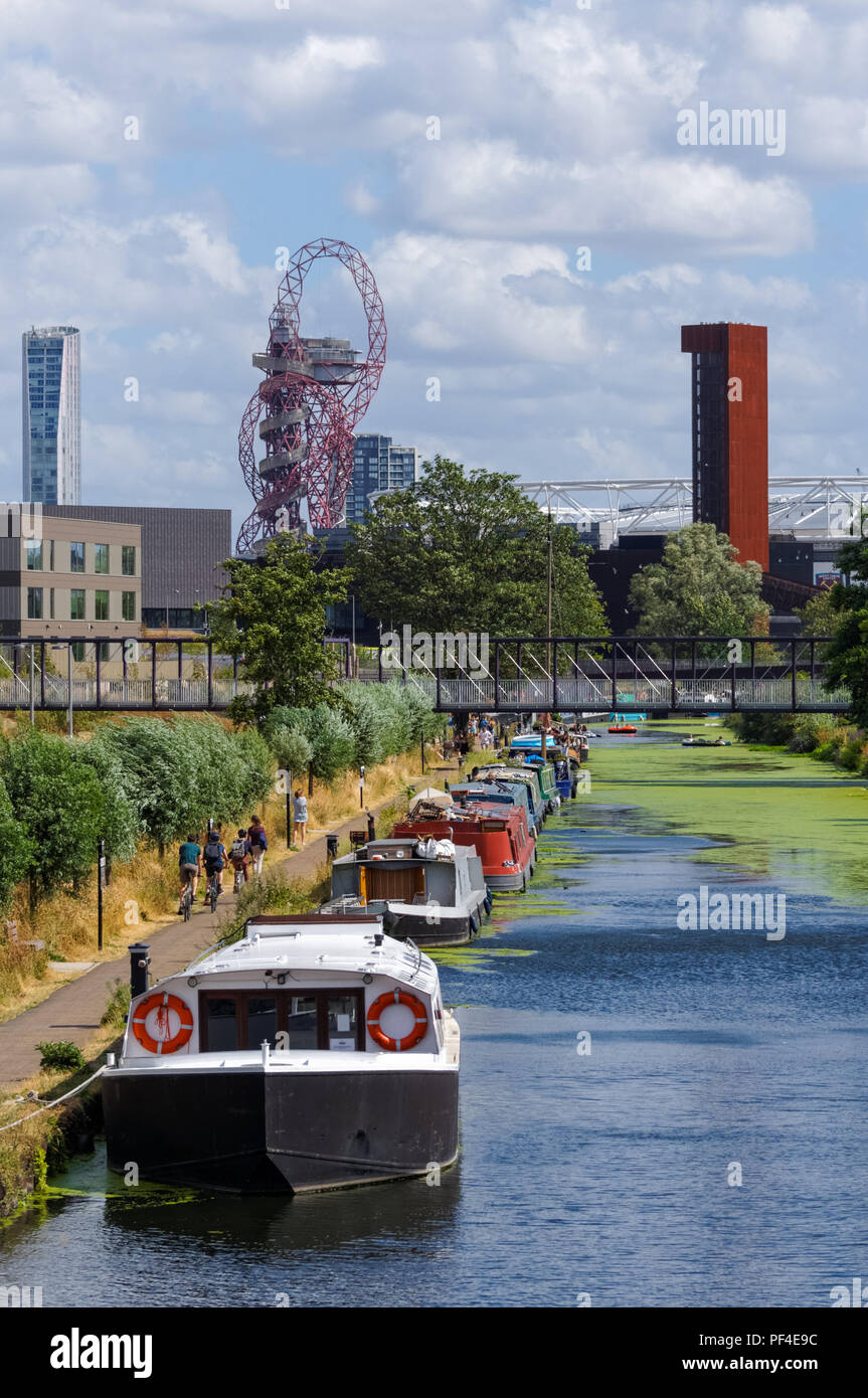 River Lea Navigation Canal, Hackney, London England United Kingdom UK Stock Photohttps://www.alamy.com/image-license-details/?v=1https://www.alamy.com/river-lea-navigation-canal-hackney-london-england-united-kingdom-uk-image215843304.html
RMPF4E9C–River Lea Navigation Canal, Hackney, London England United Kingdom UK
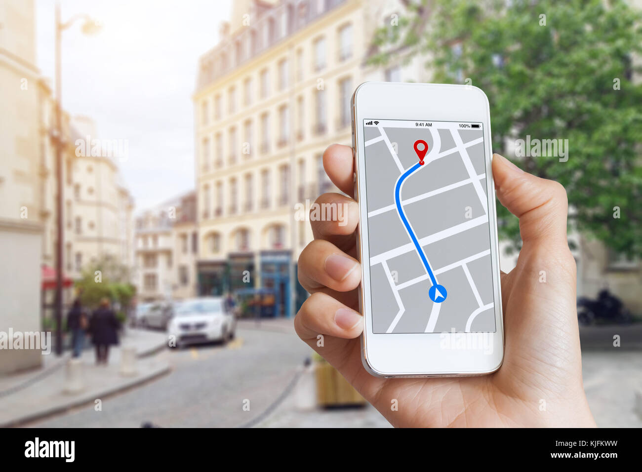 Tourist using GPS map navigation app on smartphone screen to get direction to destination address in the city streets, travel and technology Stock Photohttps://www.alamy.com/image-license-details/?v=1https://www.alamy.com/stock-image-tourist-using-gps-map-navigation-app-on-smartphone-screen-to-get-direction-166302021.html
RFKJFKWW–Tourist using GPS map navigation app on smartphone screen to get direction to destination address in the city streets, travel and technology
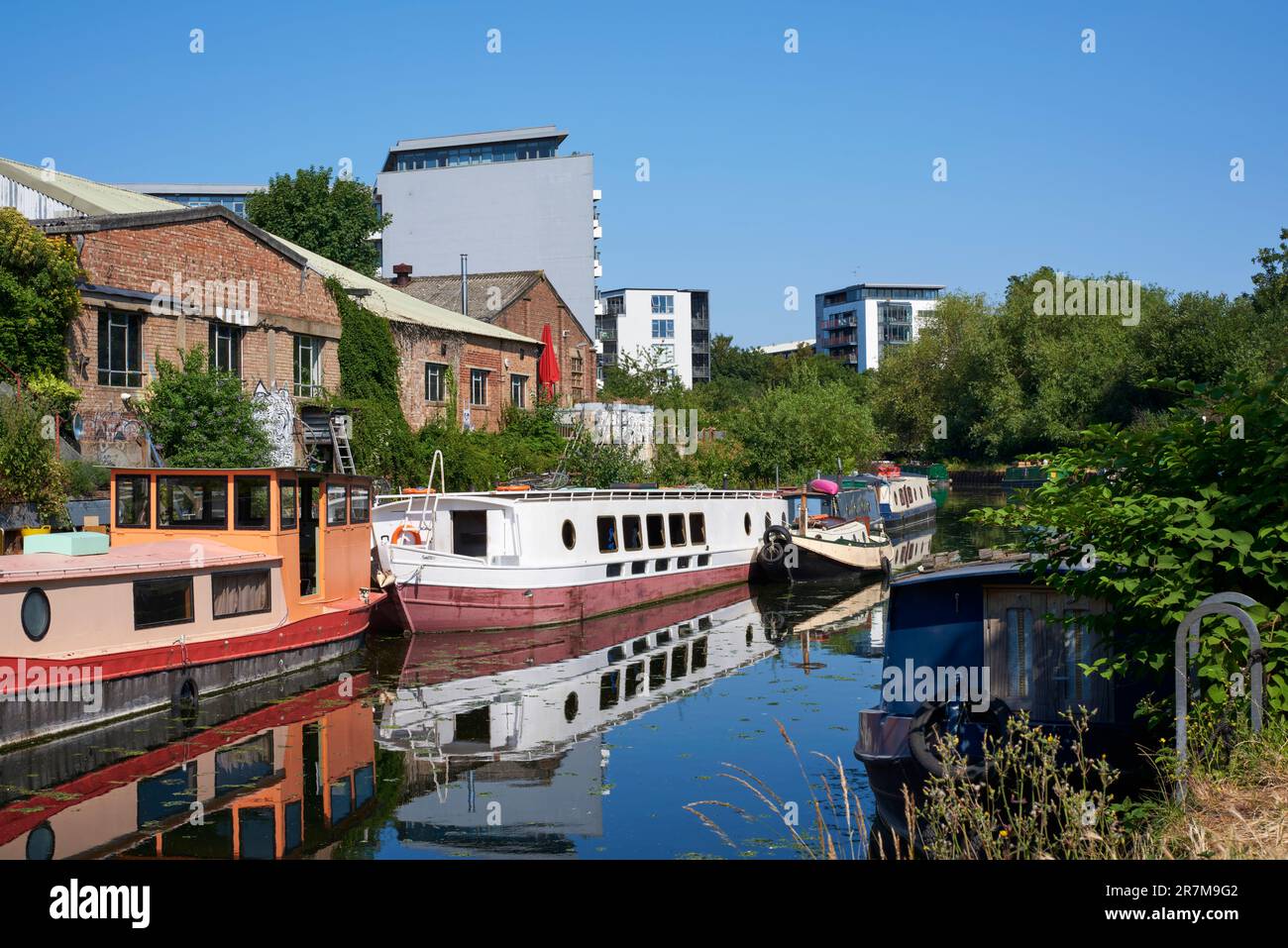 The River Lea Navigation in summertime, between Bow and Hackney Wick, East London UK Stock Photohttps://www.alamy.com/image-license-details/?v=1https://www.alamy.com/the-river-lea-navigation-in-summertime-between-bow-and-hackney-wick-east-london-uk-image555480914.html
RM2R7M9G2–The River Lea Navigation in summertime, between Bow and Hackney Wick, East London UK
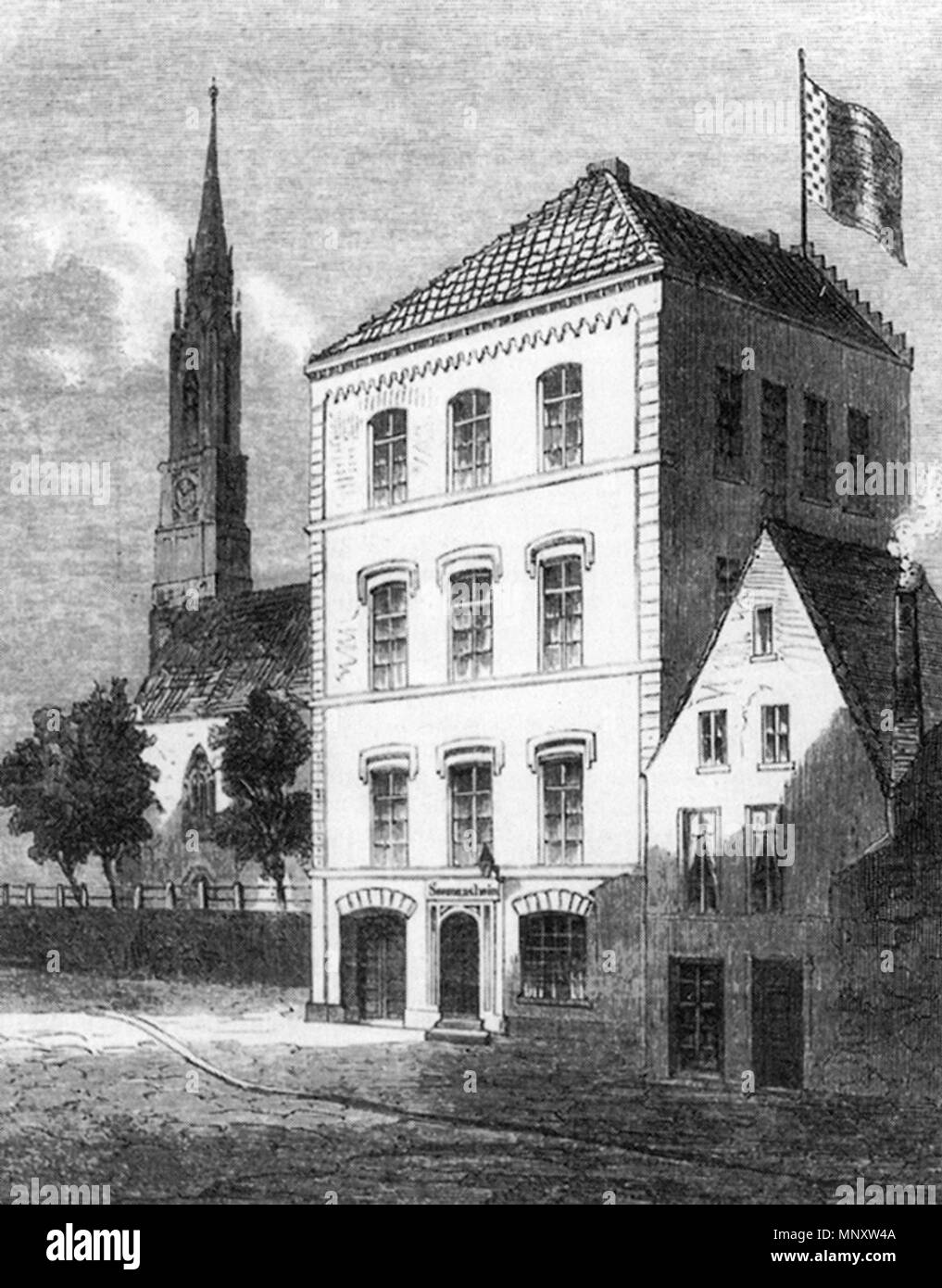 . English: Wood engraving of the former Seefahrtschule (“navigation school”) in Bremen, Germany, in the street Auf der Wichelnburg. In the background the St. Stephani church. Deutsch: Holzstich der ehemaligen Seefahrtschule in Bremen Auf der Wichelnburg. Im Hintergrund die St.-Stephani-Kirche. 1859. Unknown 1109 Seefahrtschule - Bremen - 1859 Stock Photohttps://www.alamy.com/image-license-details/?v=1https://www.alamy.com/english-wood-engraving-of-the-former-seefahrtschule-navigation-school-in-bremen-germany-in-the-street-auf-der-wichelnburg-in-the-background-the-st-stephani-church-deutsch-holzstich-der-ehemaligen-seefahrtschule-in-bremen-auf-der-wichelnburg-im-hintergrund-die-st-stephani-kirche-1859-unknown-1109-seefahrtschule-bremen-1859-image185601930.html
RMMNXW4A–. English: Wood engraving of the former Seefahrtschule (“navigation school”) in Bremen, Germany, in the street Auf der Wichelnburg. In the background the St. Stephani church. Deutsch: Holzstich der ehemaligen Seefahrtschule in Bremen Auf der Wichelnburg. Im Hintergrund die St.-Stephani-Kirche. 1859. Unknown 1109 Seefahrtschule - Bremen - 1859
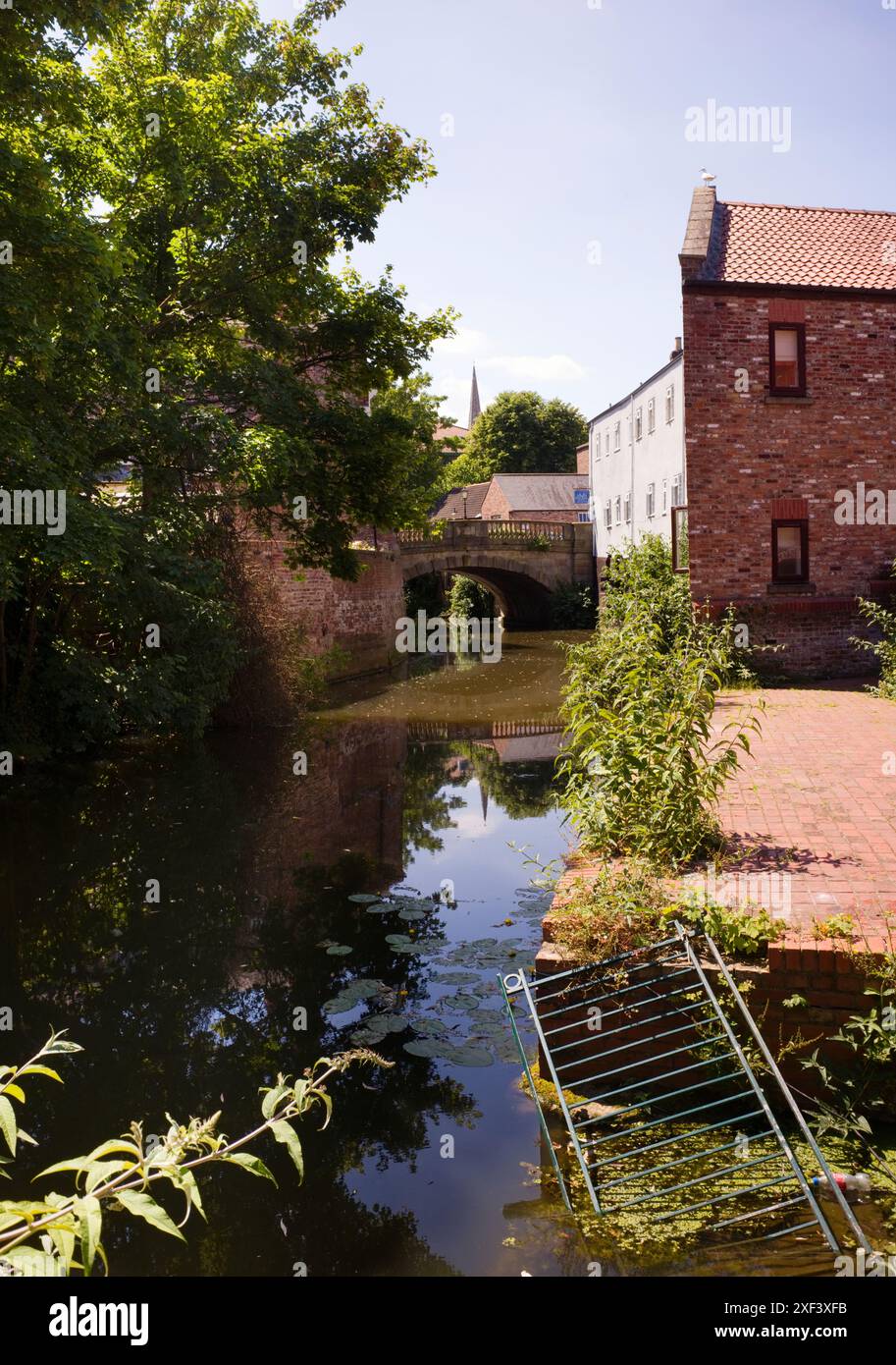 River Foss Georgian bridge in the centre of York Stock Photohttps://www.alamy.com/image-license-details/?v=1https://www.alamy.com/river-foss-georgian-bridge-in-the-centre-of-york-image611669391.html
RM2XF3XFB–River Foss Georgian bridge in the centre of York
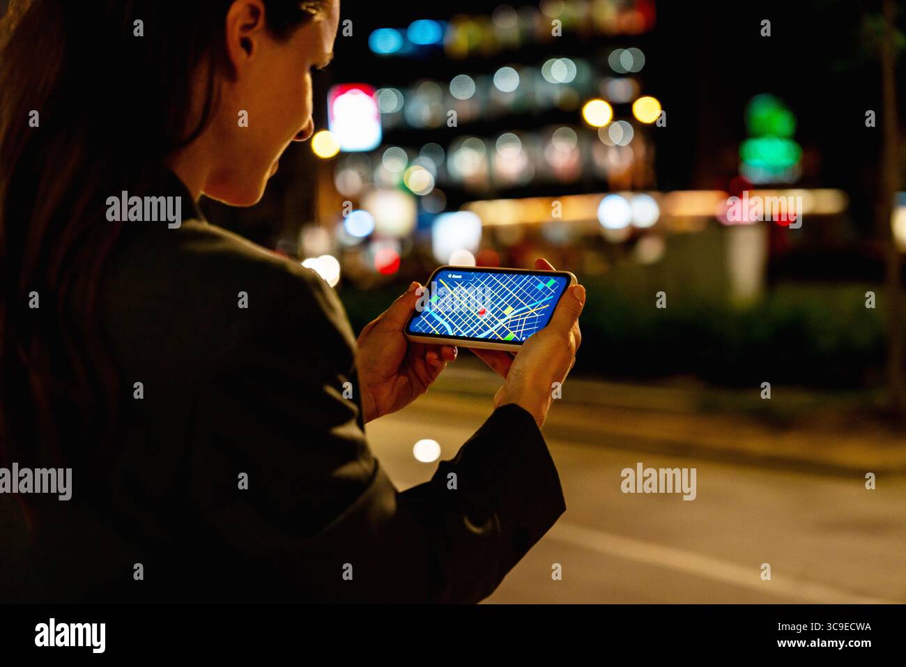 Modern urban female checking GPS map on smartphone outdoors at night Stock Photohttps://www.alamy.com/image-license-details/?v=1https://www.alamy.com/modern-urban-female-checking-gps-map-on-smartphone-outdoors-at-night-image694264070.html
RF3C9ECWA–Modern urban female checking GPS map on smartphone outdoors at night
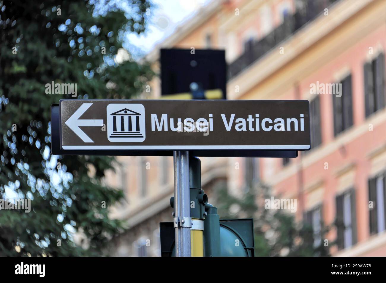 Signpost, Vatican Museums, Vatican, Rome, Italy, Signpost to the Vatican Museums against an urban background, Rome, Lazio, Italy, Europe Stock Photohttps://www.alamy.com/image-license-details/?v=1https://www.alamy.com/signpost-vatican-museums-vatican-rome-italy-signpost-to-the-vatican-museums-against-an-urban-background-rome-lazio-italy-europe-image642554844.html
RM2S9AW78–Signpost, Vatican Museums, Vatican, Rome, Italy, Signpost to the Vatican Museums against an urban background, Rome, Lazio, Italy, Europe
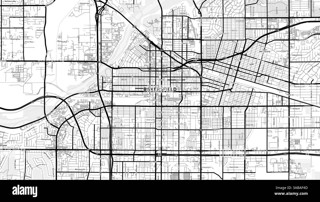 Minimalist Bakersfield Street Map with Labels and Neighborhoods with many details for urban roads, paths and disctricts. Stock Photohttps://www.alamy.com/image-license-details/?v=1https://www.alamy.com/minimalist-bakersfield-street-map-with-labels-and-neighborhoods-with-many-details-for-urban-roads-paths-and-disctricts-image660986605.html
RF3ABAF4D–Minimalist Bakersfield Street Map with Labels and Neighborhoods with many details for urban roads, paths and disctricts.
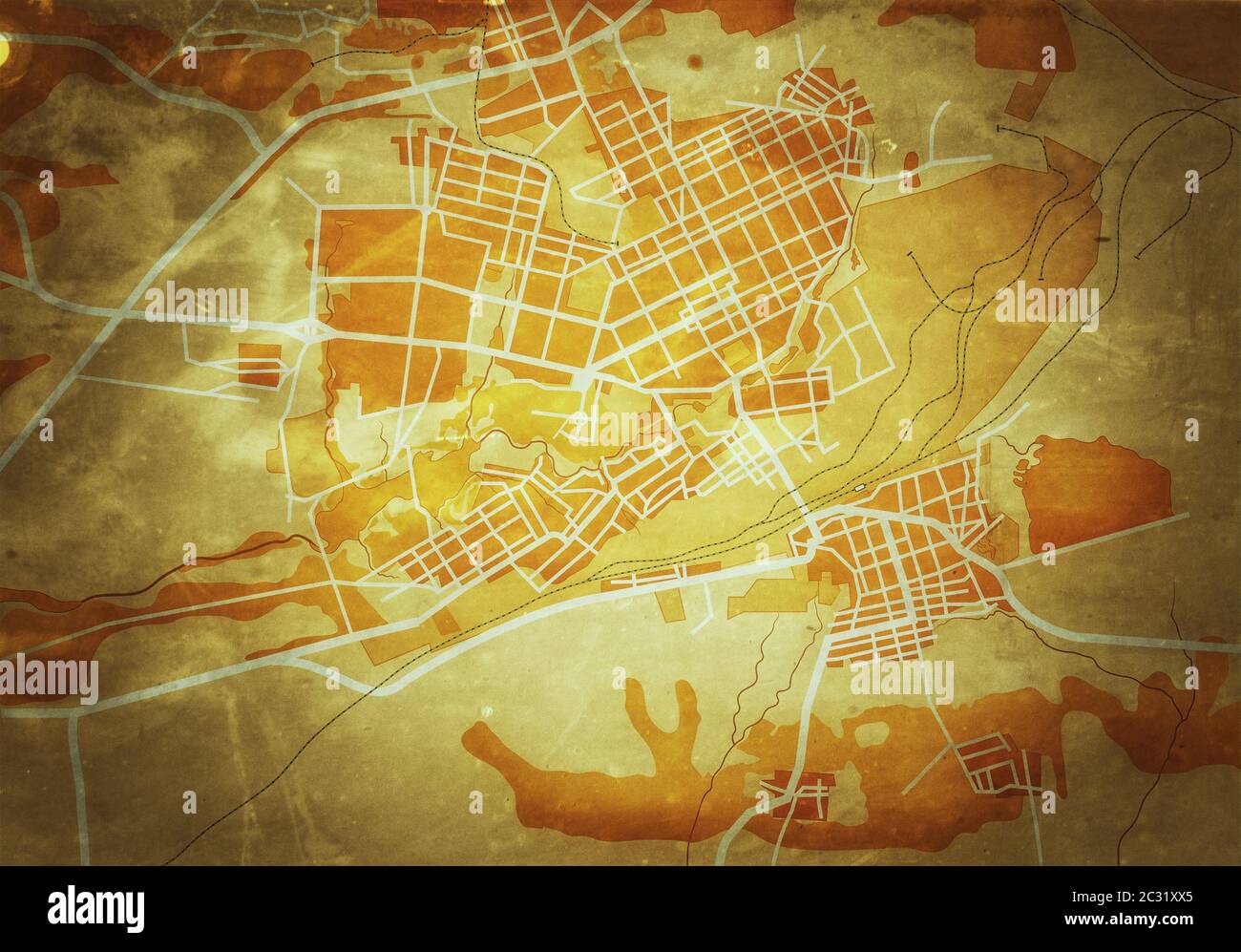 Map of The City. Navigation Tourist Guide, Route Urban Chart, Geographical Location. (Grunge Vintage Remake). Stock Photohttps://www.alamy.com/image-license-details/?v=1https://www.alamy.com/map-of-the-city-navigation-tourist-guide-route-urban-chart-geographical-location-grunge-vintage-remake-image363304765.html
RM2C31XX5–Map of The City. Navigation Tourist Guide, Route Urban Chart, Geographical Location. (Grunge Vintage Remake).
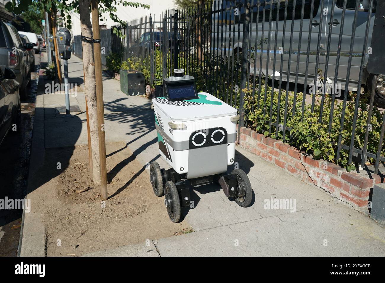 Mobile delivery units robot delivery services in streets of Los Angeles, California Stock Photohttps://www.alamy.com/image-license-details/?v=1https://www.alamy.com/mobile-delivery-units-robot-delivery-services-in-streets-of-los-angeles-california-image628762086.html
RF2YEXGCP–Mobile delivery units robot delivery services in streets of Los Angeles, California
 Diverse Asian hipster girl using mobile cell phone, in downtown urban city street - Millennial influencer woman holding smartphone making a video call - Technology, social tech and internet concept Stock Photohttps://www.alamy.com/image-license-details/?v=1https://www.alamy.com/diverse-asian-hipster-girl-using-mobile-cell-phone-in-downtown-urban-city-street-millennial-influencer-woman-holding-smartphone-making-a-video-call-technology-social-tech-and-internet-concept-image348896364.html
RF2B7HGTC–Diverse Asian hipster girl using mobile cell phone, in downtown urban city street - Millennial influencer woman holding smartphone making a video call - Technology, social tech and internet concept
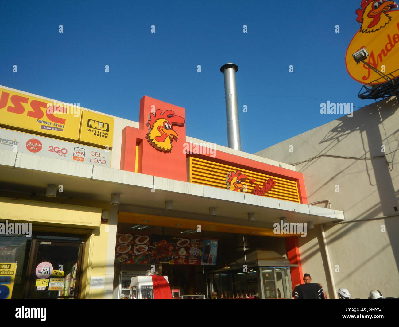 This title refers to a street network in Pasig City, specifically San Joaquin, Bambang, M. Concepcion, and Ramon Jabson Streets. It provides a detailed location for urban navigation or historical reference. Stock Photohttps://www.alamy.com/image-license-details/?v=1https://www.alamy.com/stock-photo-this-title-refers-to-a-street-network-in-pasig-city-specifically-san-141829591.html
RMJ6MW2F–This title refers to a street network in Pasig City, specifically San Joaquin, Bambang, M. Concepcion, and Ramon Jabson Streets. It provides a detailed location for urban navigation or historical reference.
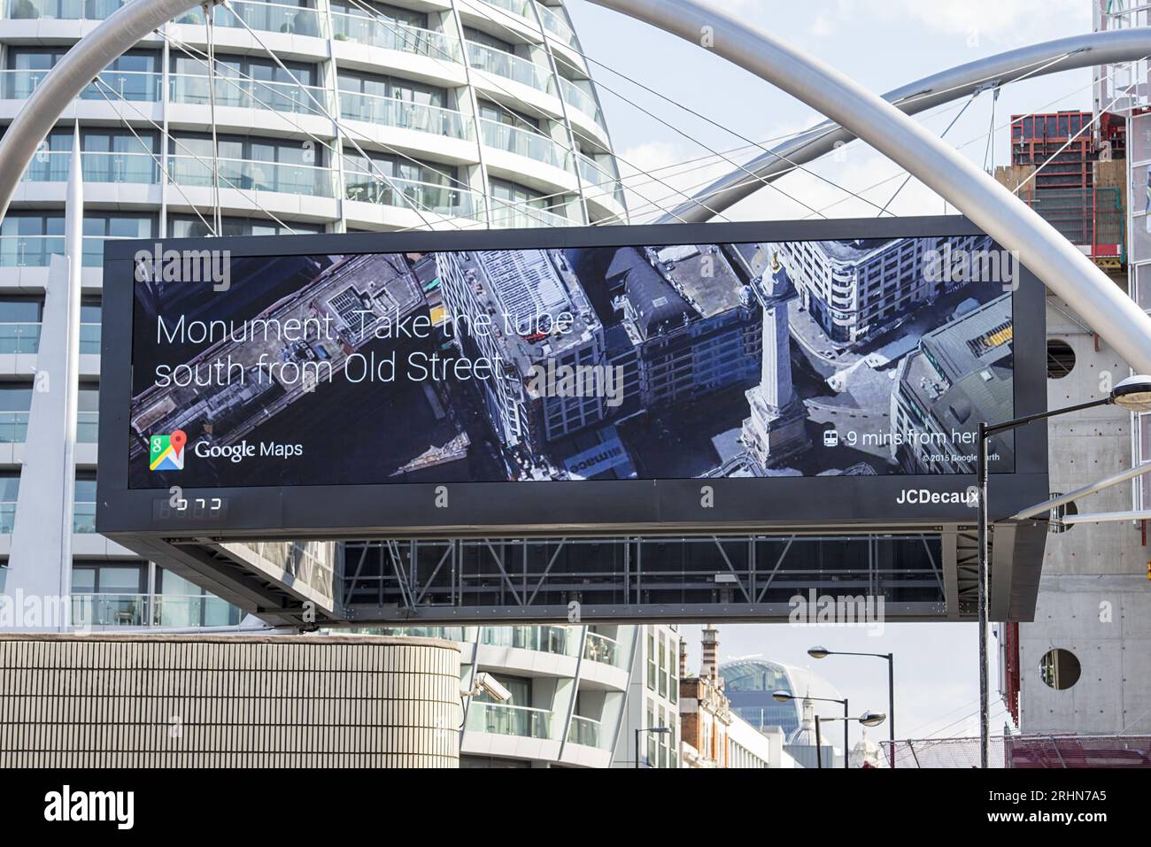 Digital Google Maps billboard at Old Street London displaying Monument Tube directions Stock Photohttps://www.alamy.com/image-license-details/?v=1https://www.alamy.com/digital-google-maps-billboard-at-old-street-london-displaying-monument-tube-directions-image561647693.html
RF2RHN7A5–Digital Google Maps billboard at Old Street London displaying Monument Tube directions
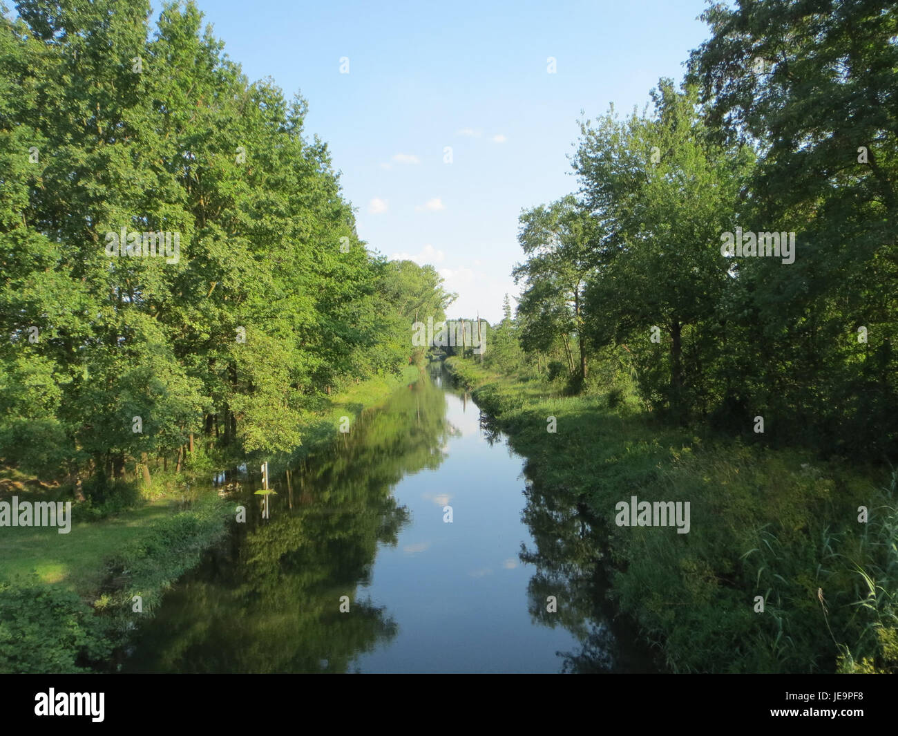 The Rheinniederungskanal is a man-made canal in Germany, built to regulate the flow of the Rhine River and prevent flooding. It is a key part of the region's flood control system, improving water management for surrounding agricultural lands and urban areas. The canal also supports local ecosystems and provides a navigation route for boats and ships. Stock Photohttps://www.alamy.com/image-license-details/?v=1https://www.alamy.com/stock-photo-the-rheinniederungskanal-is-a-man-made-canal-in-germany-built-to-regulate-146503372.html
RMJE9PF8–The Rheinniederungskanal is a man-made canal in Germany, built to regulate the flow of the Rhine River and prevent flooding. It is a key part of the region's flood control system, improving water management for surrounding agricultural lands and urban areas. The canal also supports local ecosystems and provides a navigation route for boats and ships.
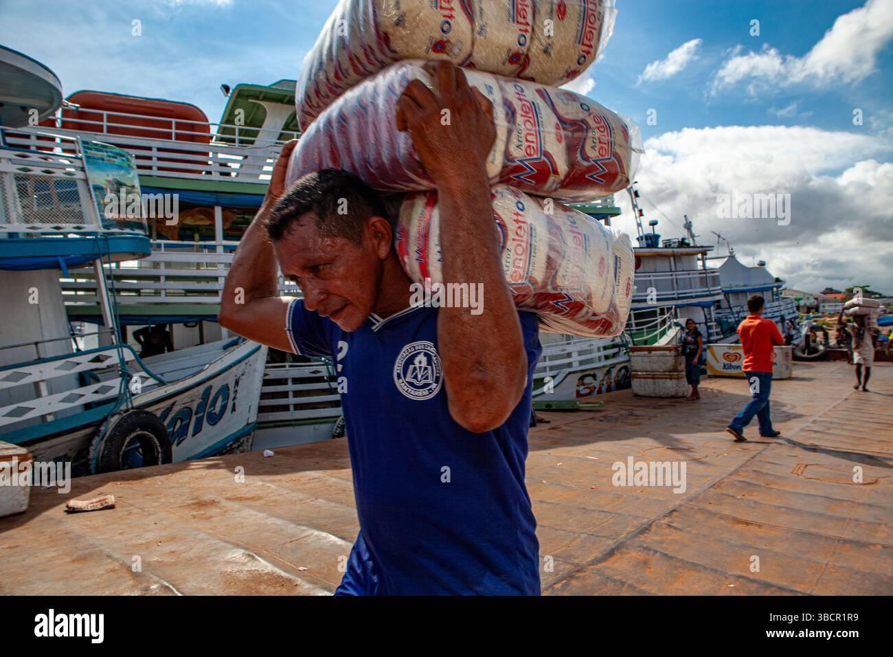 Dockworker loads packages of rice onto traditional Amazon riverboats at the Port of Santarém in Pará, Brazil. Stock Photohttps://www.alamy.com/image-license-details/?v=1https://www.alamy.com/dockworker-loads-packages-of-rice-onto-traditional-amazon-riverboats-at-the-port-of-santarm-in-par-brazil-image679086557.html
RM3BCR1R9–Dockworker loads packages of rice onto traditional Amazon riverboats at the Port of Santarém in Pará, Brazil.
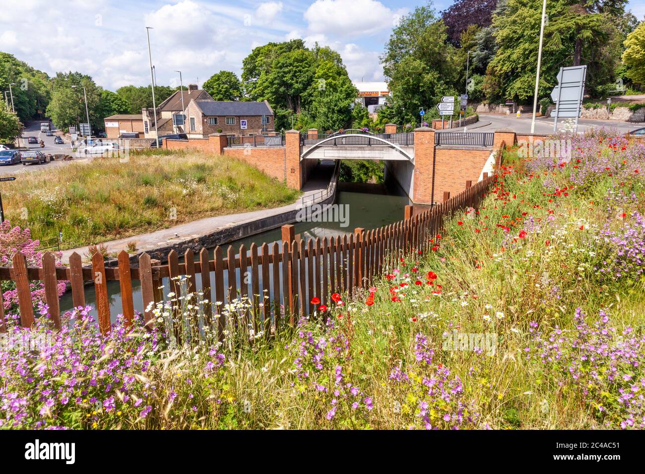 Wildflowers beside the Stroudwater Navigation (managed by the Cotswolds Canal Trust) passing under the A46 at Wallbridge, Stroud, Gloucestershire UK. Stock Photohttps://www.alamy.com/image-license-details/?v=1https://www.alamy.com/wildflowers-beside-the-stroudwater-navigation-managed-by-the-cotswolds-canal-trust-passing-under-the-a46-at-wallbridge-stroud-gloucestershire-uk-image364105421.html
RM2C4AC51–Wildflowers beside the Stroudwater Navigation (managed by the Cotswolds Canal Trust) passing under the A46 at Wallbridge, Stroud, Gloucestershire UK.
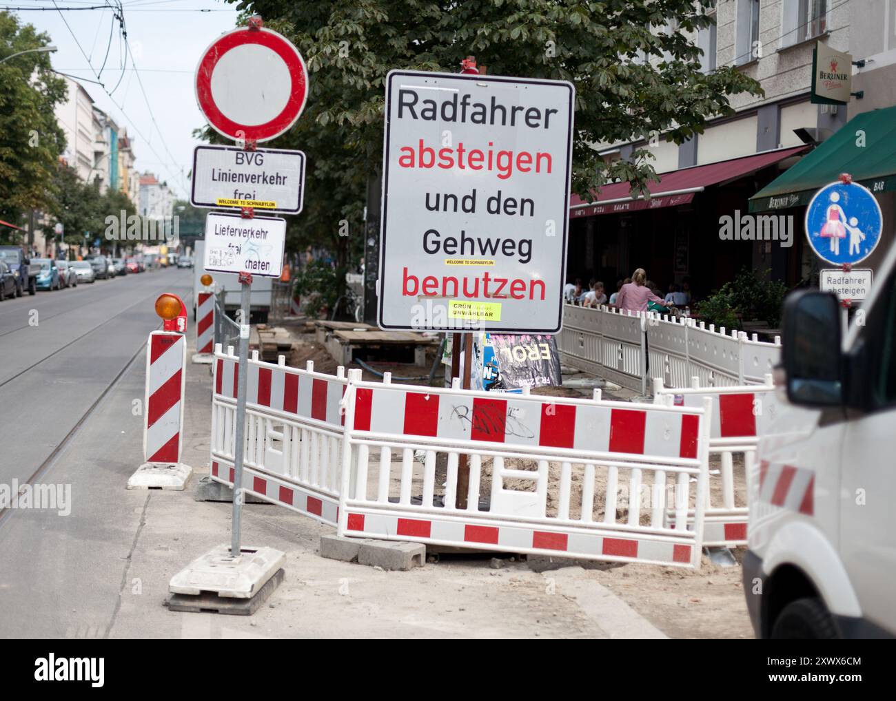 A collection of traffic signs and barriers on Kastanienallee in Prenzlauer Berg, Berlin, highlighting bicycle and pedestrian navigation during urban road maintenance in 2011. Vibrant street life and infrastructure in a busy city setting. Stock Photohttps://www.alamy.com/image-license-details/?v=1https://www.alamy.com/a-collection-of-traffic-signs-and-barriers-on-kastanienallee-in-prenzlauer-berg-berlin-highlighting-bicycle-and-pedestrian-navigation-during-urban-road-maintenance-in-2011-vibrant-street-life-and-infrastructure-in-a-busy-city-setting-image618305092.html
RF2XWX6CM–A collection of traffic signs and barriers on Kastanienallee in Prenzlauer Berg, Berlin, highlighting bicycle and pedestrian navigation during urban road maintenance in 2011. Vibrant street life and infrastructure in a busy city setting.
RF2WH0J98–The red buses of Santiago's Red system are iconic, offering essential transport services to residents and visitors.
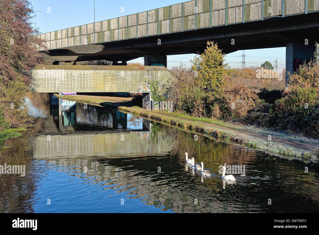 Brutalist industrial structures passing over the River Wey navigation canal ,on a sunny winters day, New Haw Surrey England UK Stock Photohttps://www.alamy.com/image-license-details/?v=1https://www.alamy.com/brutalist-industrial-structures-passing-over-the-river-wey-navigation-canal-on-a-sunny-winters-day-new-haw-surrey-england-uk-image503418301.html
RM2M70K51–Brutalist industrial structures passing over the River Wey navigation canal ,on a sunny winters day, New Haw Surrey England UK
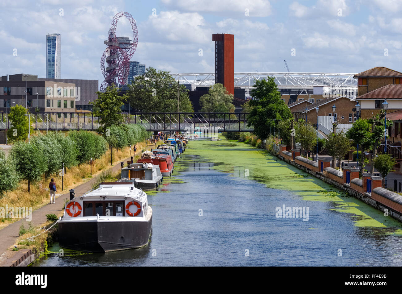 River Lea Navigation Canal, Hackney, London England United Kingdom UK Stock Photohttps://www.alamy.com/image-license-details/?v=1https://www.alamy.com/river-lea-navigation-canal-hackney-london-england-united-kingdom-uk-image215843303.html
RMPF4E9B–River Lea Navigation Canal, Hackney, London England United Kingdom UK
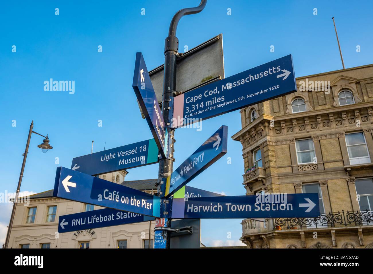 Direction sign at Harwich Essex Stock Photohttps://www.alamy.com/image-license-details/?v=1https://www.alamy.com/direction-sign-at-harwich-essex-image667039253.html
RM3AN67AD–Direction sign at Harwich Essex
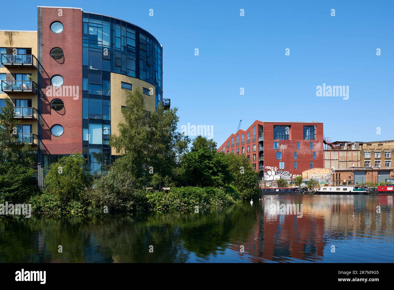 Apartments on the River Lea Navigation at Hackney Wick, East London UK, in early summer. Stock Photohttps://www.alamy.com/image-license-details/?v=1https://www.alamy.com/apartments-on-the-river-lea-navigation-at-hackney-wick-east-london-uk-in-early-summer-image555480917.html
RM2R7M9G5–Apartments on the River Lea Navigation at Hackney Wick, East London UK, in early summer.
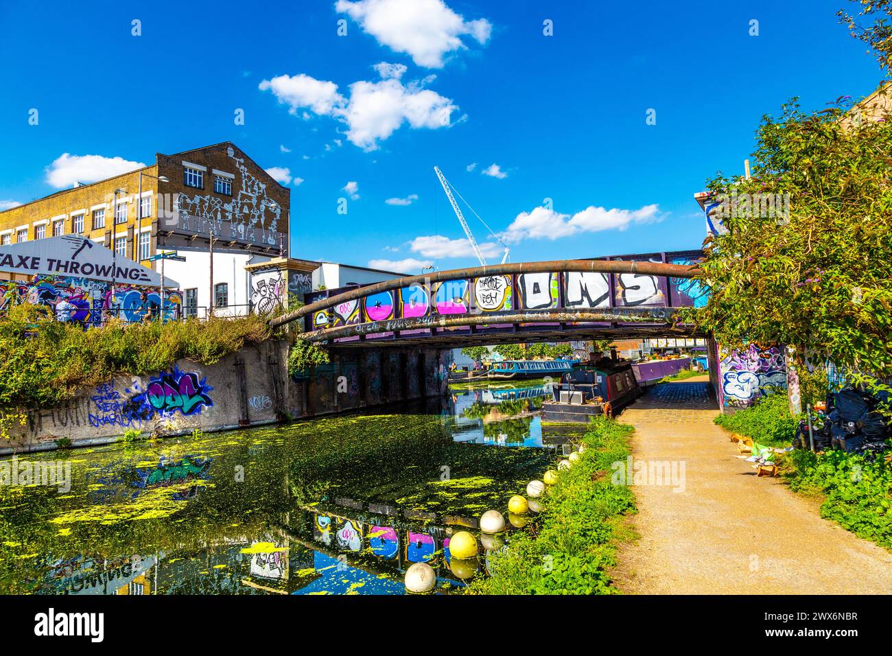 Bridge over the River Lee Navigation Canal and Hackney Wick warehouses covered with street art, London, England Stock Photohttps://www.alamy.com/image-license-details/?v=1https://www.alamy.com/bridge-over-the-river-lee-navigation-canal-and-hackney-wick-warehouses-covered-with-street-art-london-england-image601282075.html
RM2WX6NBR–Bridge over the River Lee Navigation Canal and Hackney Wick warehouses covered with street art, London, England
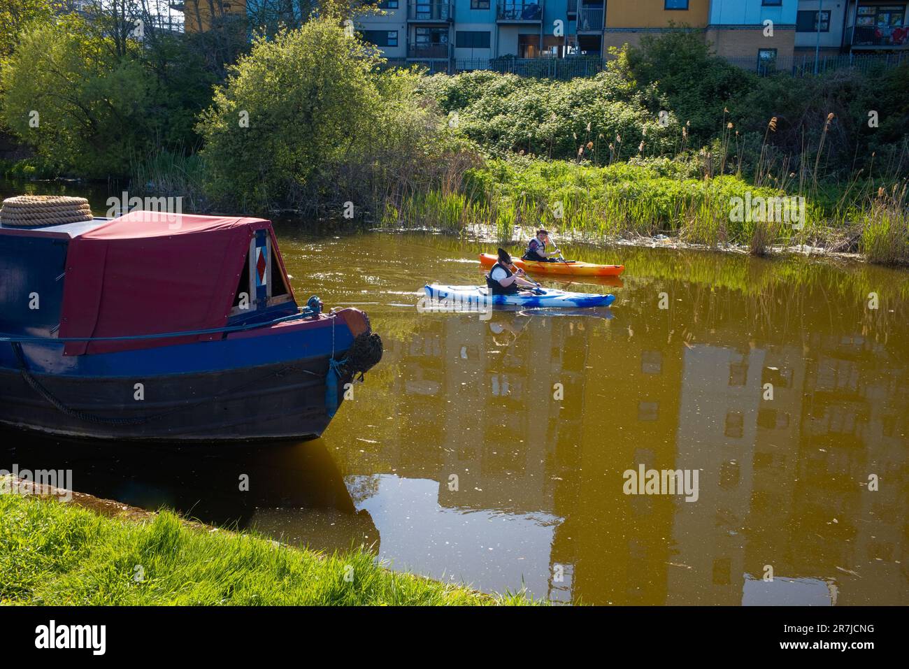 Kayakers enjoying the river Lee near Bromley by Bow, Stratford, London Stock Photohttps://www.alamy.com/image-license-details/?v=1https://www.alamy.com/kayakers-enjoying-the-river-lee-near-bromley-by-bow-stratford-london-image555439516.html
RM2R7JCNG–Kayakers enjoying the river Lee near Bromley by Bow, Stratford, London
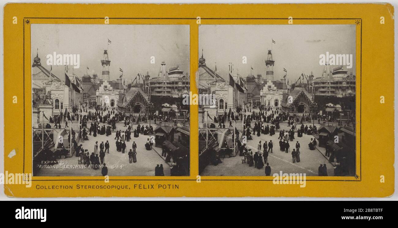 EXPON 1900. HOUSE OF NAVIGATION. World Expo 1900. The pavilion of navigation, the Quai d'Orsay, 7th arrondissement, Paris. Exposition universelle de 1900. Le pavillon de la navigation, quai d'Orsay, Paris (VIIème arr.). Société Industrielle de Photographie ou S.I.P. Tirage sur papier au gélatino bromure d'argent contrecollé sur carton jaune. Paris, musée Carnavalet. Stock Photohttps://www.alamy.com/image-license-details/?v=1https://www.alamy.com/expon-1900-house-of-navigation-world-expo-1900-the-pavilion-of-navigation-the-quai-dorsay-7th-arrondissement-paris-exposition-universelle-de-1900-le-pavillon-de-la-navigation-quai-dorsay-paris-viime-arr-socit-industrielle-de-photographie-ou-sip-tirage-sur-papier-au-glatino-bromure-dargent-contrecoll-sur-carton-jaune-paris-muse-carnavalet-image349660767.html
RM2B8TBTF–EXPON 1900. HOUSE OF NAVIGATION. World Expo 1900. The pavilion of navigation, the Quai d'Orsay, 7th arrondissement, Paris. Exposition universelle de 1900. Le pavillon de la navigation, quai d'Orsay, Paris (VIIème arr.). Société Industrielle de Photographie ou S.I.P. Tirage sur papier au gélatino bromure d'argent contrecollé sur carton jaune. Paris, musée Carnavalet.
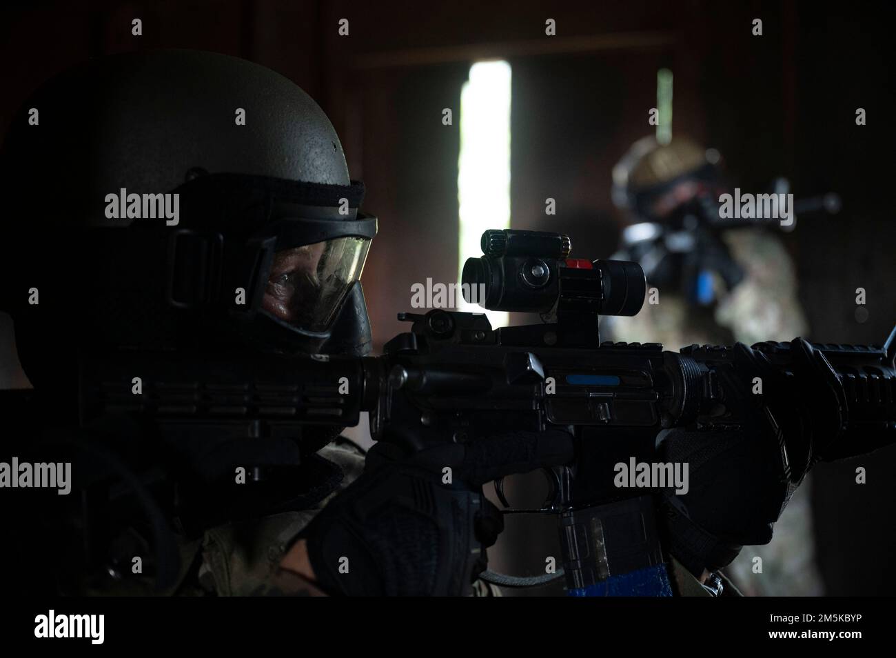 Airmen participating in urban training aim their rifles towards a window to provide security during Fieldcraft Hostile on Joint Base McGuire-Dix-Lakehurst, New Jersey, Aug. 4, 2022. FCH places students in realistic and strenuous training scenarios used to teach skills such as weapons control, combative techniques, communications, mounted and dismounted individual and team movements and land navigation. (U.S. Air Force photo by Staff Sgt. Jake Carter) Stock Photohttps://www.alamy.com/image-license-details/?v=1https://www.alamy.com/airmen-participating-in-urban-training-aim-their-rifles-towards-a-window-to-provide-security-during-fieldcraft-hostile-on-joint-base-mcguire-dix-lakehurst-new-jersey-aug-4-2022-fch-places-students-in-realistic-and-strenuous-training-scenarios-used-to-teach-skills-such-as-weapons-control-combative-techniques-communications-mounted-and-dismounted-individual-and-team-movements-and-land-navigation-us-air-force-photo-by-staff-sgt-jake-carter-image502600442.html
RM2M5KBYP–Airmen participating in urban training aim their rifles towards a window to provide security during Fieldcraft Hostile on Joint Base McGuire-Dix-Lakehurst, New Jersey, Aug. 4, 2022. FCH places students in realistic and strenuous training scenarios used to teach skills such as weapons control, combative techniques, communications, mounted and dismounted individual and team movements and land navigation. (U.S. Air Force photo by Staff Sgt. Jake Carter)
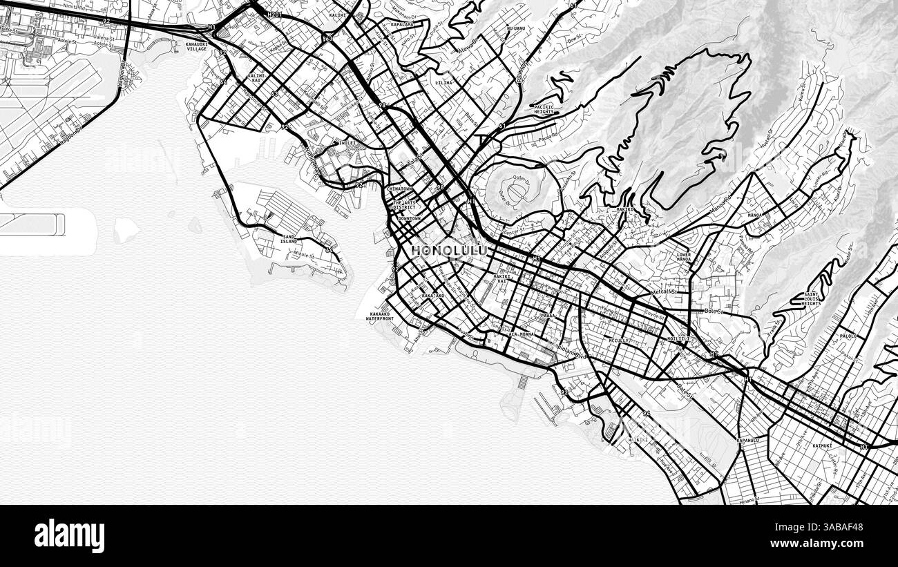 Minimalist Honolulu Street Map with Labels and Neighborhoods with many details for urban roads, paths and disctricts. Stock Photohttps://www.alamy.com/image-license-details/?v=1https://www.alamy.com/minimalist-honolulu-street-map-with-labels-and-neighborhoods-with-many-details-for-urban-roads-paths-and-disctricts-image660986600.html
RF3ABAF48–Minimalist Honolulu Street Map with Labels and Neighborhoods with many details for urban roads, paths and disctricts.
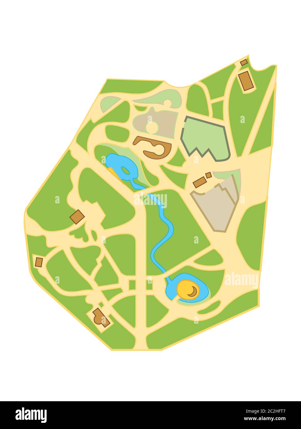 Map of The City Gardens. Geographical Location and Navigation tourist urban chart. Stock Photohttps://www.alamy.com/image-license-details/?v=1https://www.alamy.com/map-of-the-city-gardens-geographical-location-and-navigation-tourist-urban-chart-image363032663.html
RM2C2HFT7–Map of The City Gardens. Geographical Location and Navigation tourist urban chart.
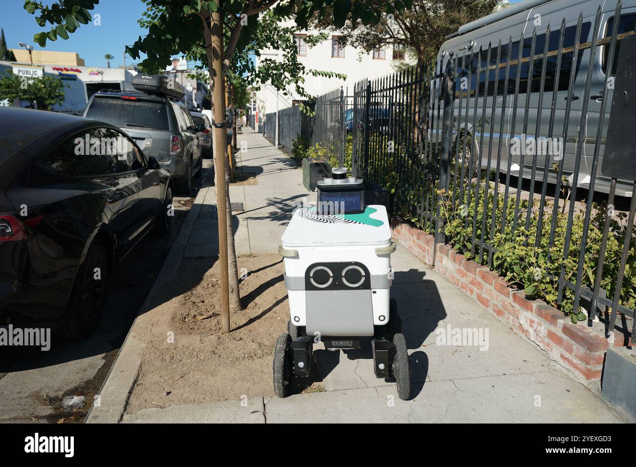 Mobile delivery units robot delivery services in streets of Los Angeles, California Stock Photohttps://www.alamy.com/image-license-details/?v=1https://www.alamy.com/mobile-delivery-units-robot-delivery-services-in-streets-of-los-angeles-california-image628762095.html
RF2YEXGD3–Mobile delivery units robot delivery services in streets of Los Angeles, California
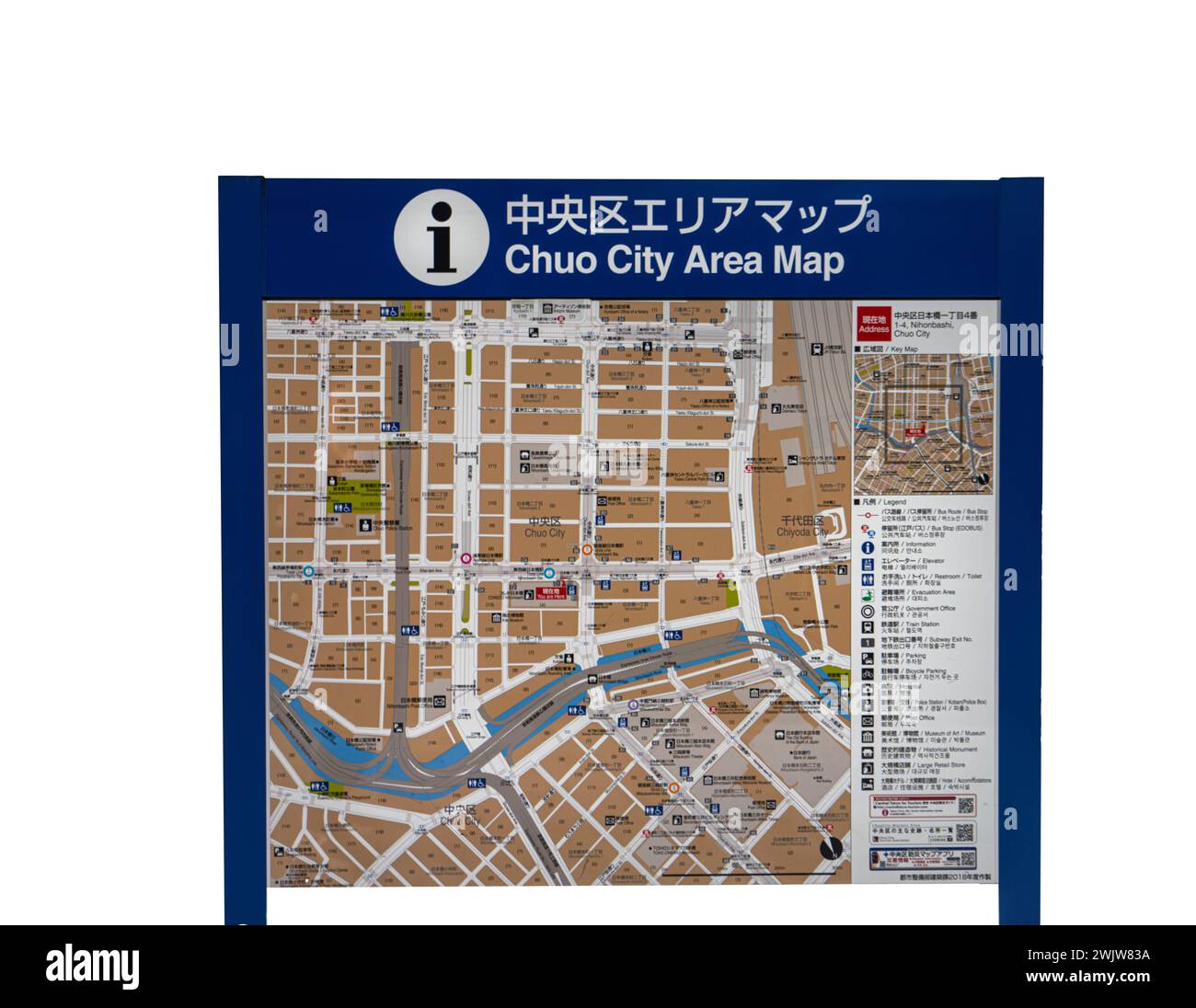 Tokyo, Japan. January 2024. the street map of the Chuo district on a trfansparent background Stock Photohttps://www.alamy.com/image-license-details/?v=1https://www.alamy.com/tokyo-japan-january-2024-the-street-map-of-the-chuo-district-on-a-trfansparent-background-image596771486.html
RF2WJW83A–Tokyo, Japan. January 2024. the street map of the Chuo district on a trfansparent background
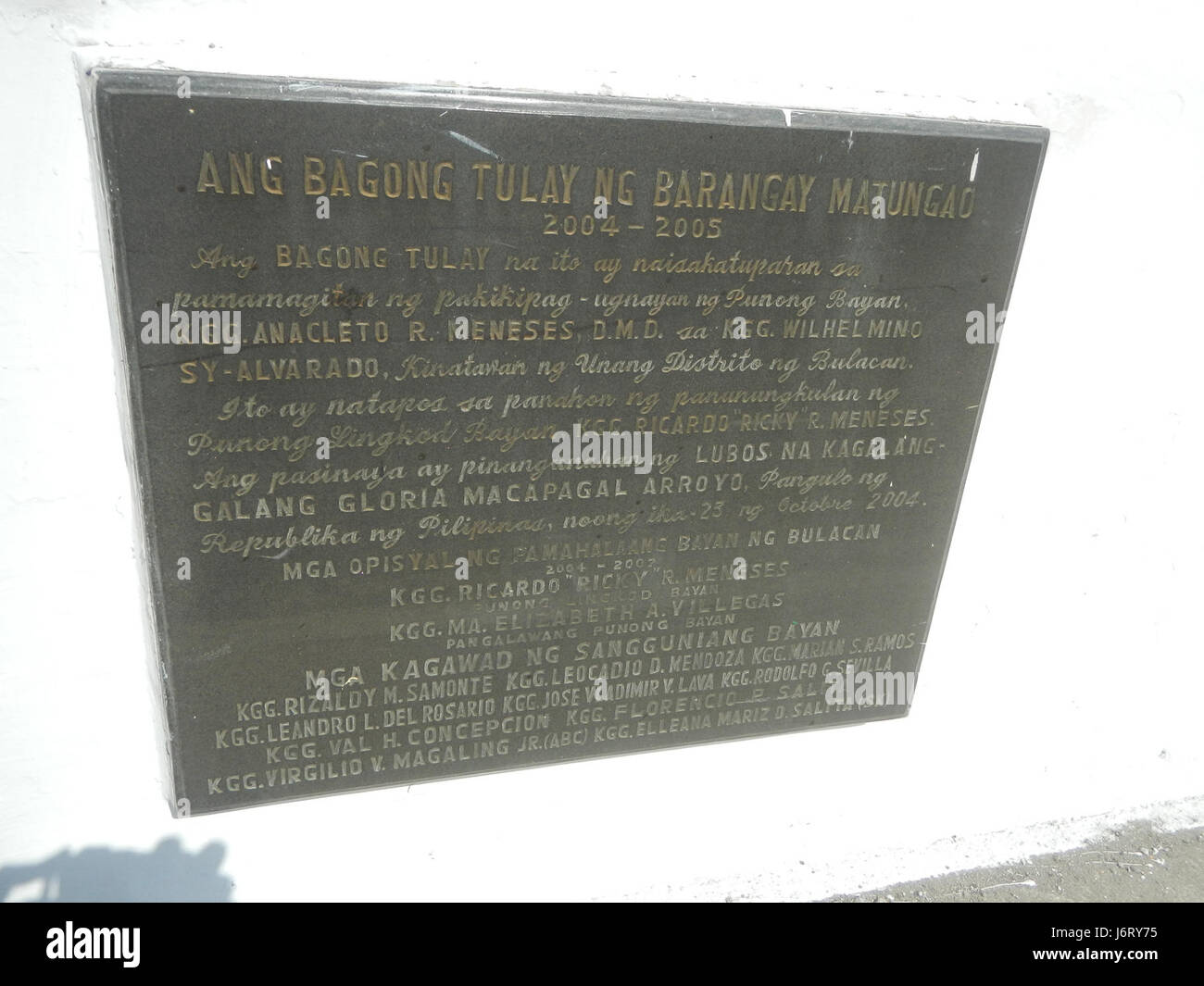 This refers to a location in the province of Bulacan, Philippines, specifically Balagtas in Guiguinto. The area includes roads and landmarks significant for local navigation and community infrastructure, reflecting the urban and regional development. Stock Photohttps://www.alamy.com/image-license-details/?v=1https://www.alamy.com/stock-photo-this-refers-to-a-location-in-the-province-of-bulacan-philippines-specifically-141897145.html
RMJ6RY75–This refers to a location in the province of Bulacan, Philippines, specifically Balagtas in Guiguinto. The area includes roads and landmarks significant for local navigation and community infrastructure, reflecting the urban and regional development.
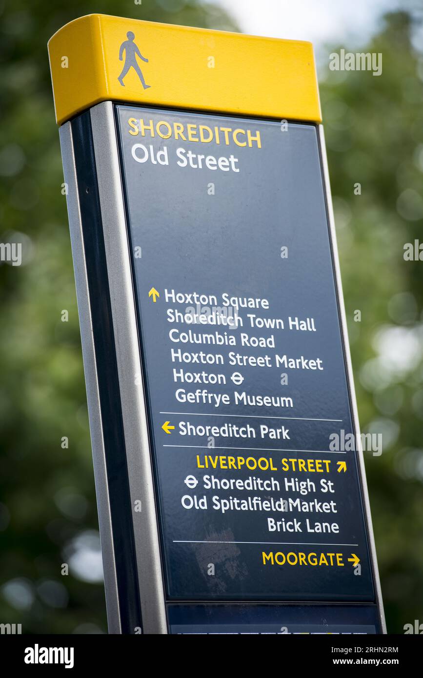 Shoreditch Old Street pedestrian signpost in East London pointing to local landmarks and destinations including Hoxton, Brick Lane and Moorgate. Stock Photohttps://www.alamy.com/image-license-details/?v=1https://www.alamy.com/shoreditch-old-street-pedestrian-signpost-in-east-london-pointing-to-local-landmarks-and-destinations-including-hoxton-brick-lane-and-moorgate-image561644152.html
RF2RHN2RM–Shoreditch Old Street pedestrian signpost in East London pointing to local landmarks and destinations including Hoxton, Brick Lane and Moorgate.
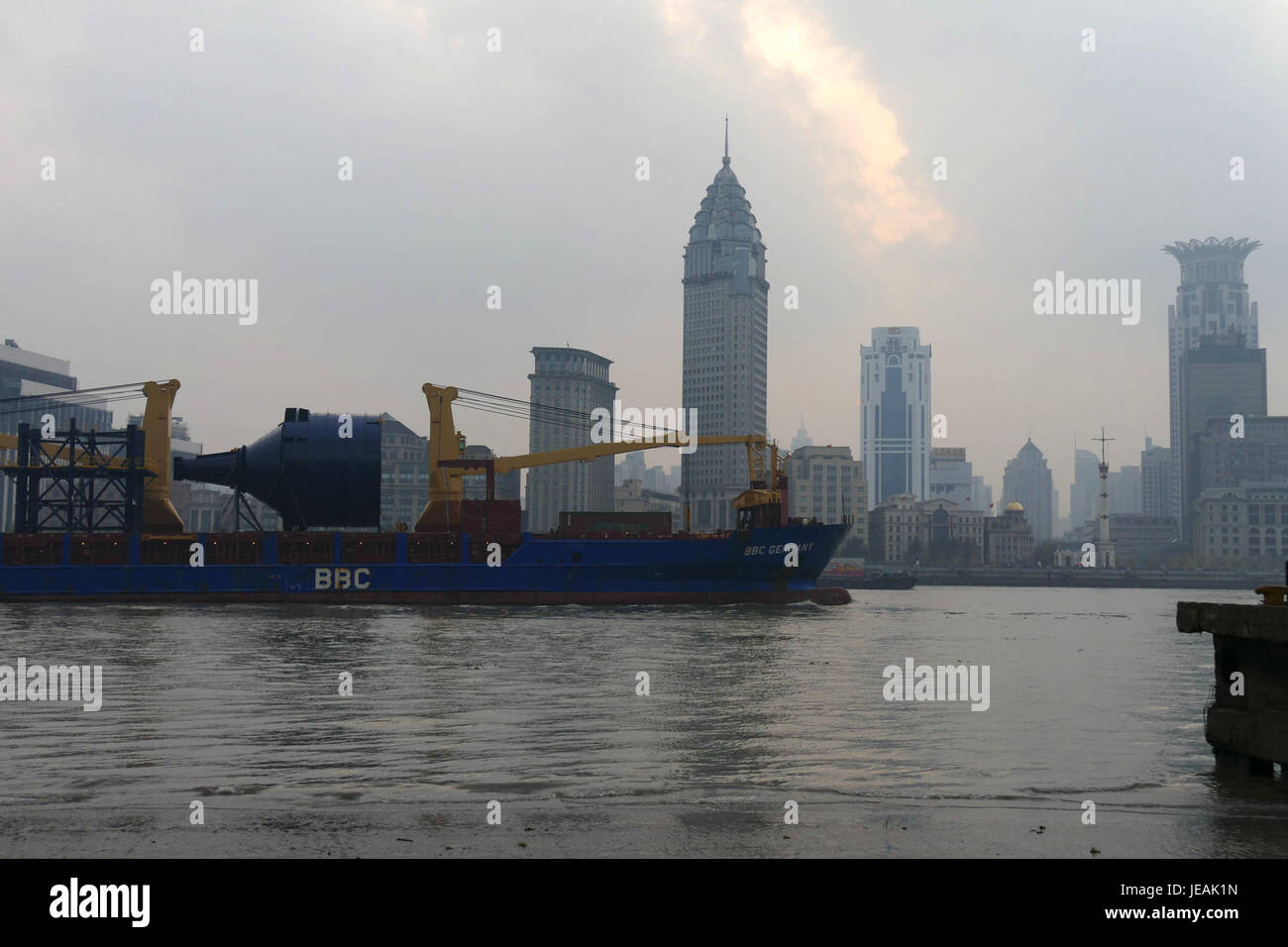 This photograph captures ships navigating the Huangpu River in Shanghai, a major waterway in the city. The image reflects the bustling port activities and the dynamic environment of Shanghai's waterfront. Stock Photohttps://www.alamy.com/image-license-details/?v=1https://www.alamy.com/stock-photo-this-photograph-captures-ships-navigating-the-huangpu-river-in-shanghai-146522593.html
RMJEAK1N–This photograph captures ships navigating the Huangpu River in Shanghai, a major waterway in the city. The image reflects the bustling port activities and the dynamic environment of Shanghai's waterfront.
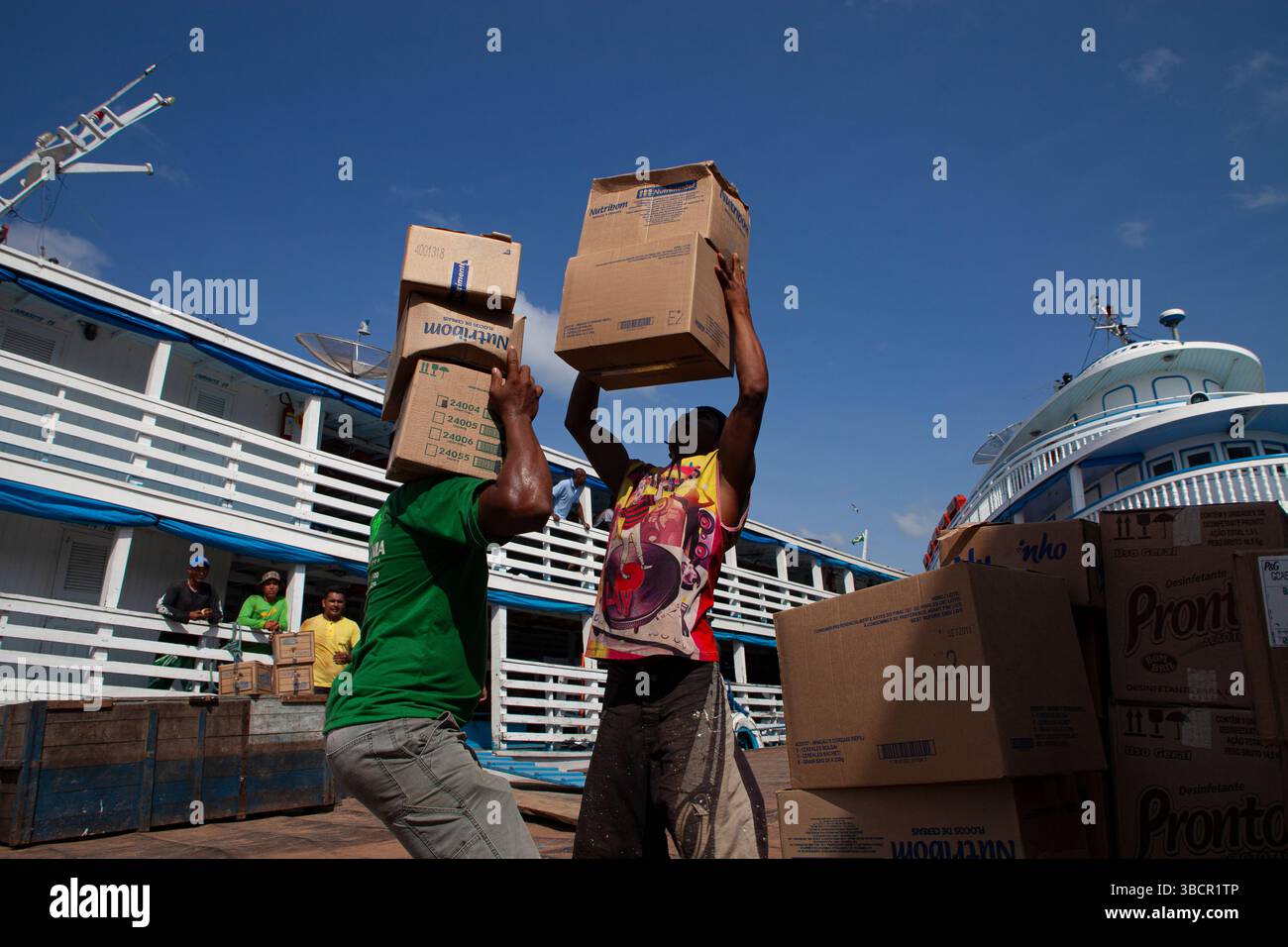 Dockworkers load diverse merchandise onto traditional Amazon riverboats at the Port of Santarém in Pará, Brazil. Stock Photohttps://www.alamy.com/image-license-details/?v=1https://www.alamy.com/dockworkers-load-diverse-merchandise-onto-traditional-amazon-riverboats-at-the-port-of-santarm-in-par-brazil-image679086598.html
RM3BCR1TP–Dockworkers load diverse merchandise onto traditional Amazon riverboats at the Port of Santarém in Pará, Brazil.
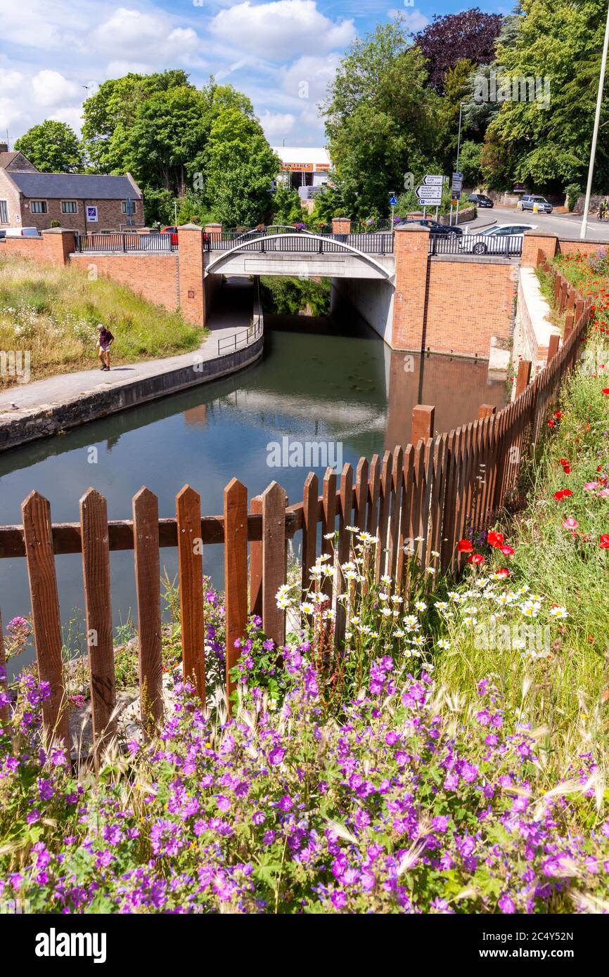 Wildflowers growing by the Stroudwater Navigation (managed by the Cotswolds Canal Trust) passing under A46 at Wallbridge, Stroud, Gloucestershire UK Stock Photohttps://www.alamy.com/image-license-details/?v=1https://www.alamy.com/wildflowers-growing-by-the-stroudwater-navigation-managed-by-the-cotswolds-canal-trust-passing-under-a46-at-wallbridge-stroud-gloucestershire-uk-image364473053.html
RM2C4Y52N–Wildflowers growing by the Stroudwater Navigation (managed by the Cotswolds Canal Trust) passing under A46 at Wallbridge, Stroud, Gloucestershire UK