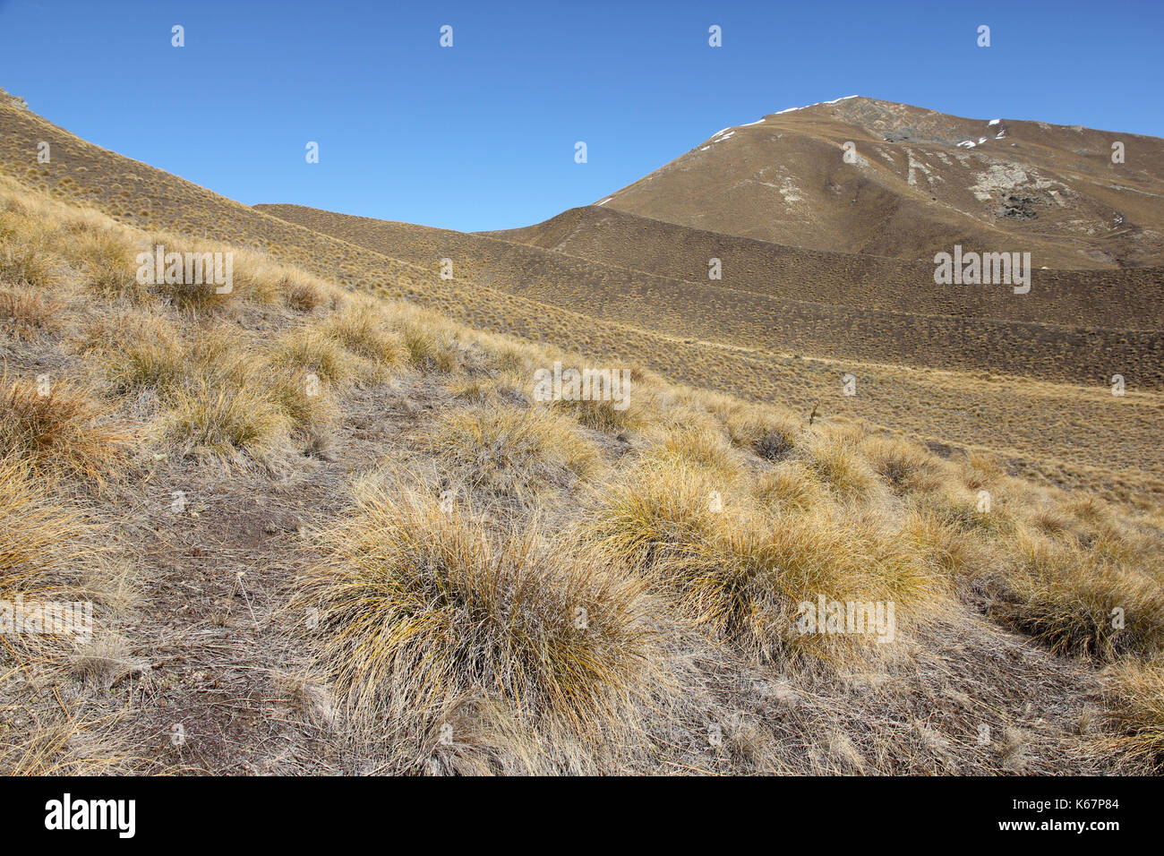
Tussock grassland new zealand Stock Photos and Images
(514)See tussock grassland new zealand stock video clipsQuick filters:
Tussock grassland new zealand Stock Photos and Images
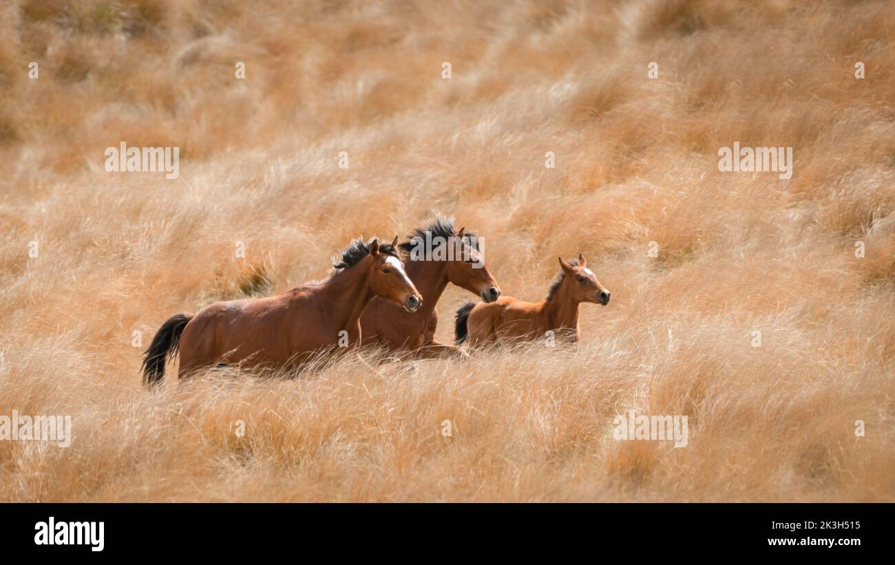 Wild Kaimanawa horses galloping on the golden tussock grassland. New Zealand. Stock Photohttps://www.alamy.com/image-license-details/?v=1https://www.alamy.com/wild-kaimanawa-horses-galloping-on-the-golden-tussock-grassland-new-zealand-image484111409.html
RF2K3H515–Wild Kaimanawa horses galloping on the golden tussock grassland. New Zealand.
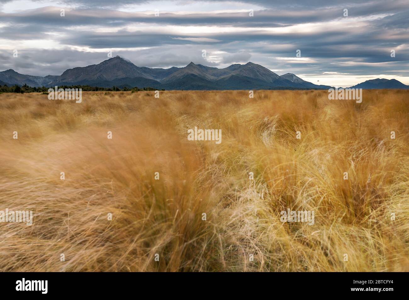 Tussock plains and Takitimu Mountains, New Zealand, March 2020 Stock Photohttps://www.alamy.com/image-license-details/?v=1https://www.alamy.com/tussock-plains-and-takitimu-mountains-new-zealand-march-2020-image359235048.html
RM2BTCFY4–Tussock plains and Takitimu Mountains, New Zealand, March 2020
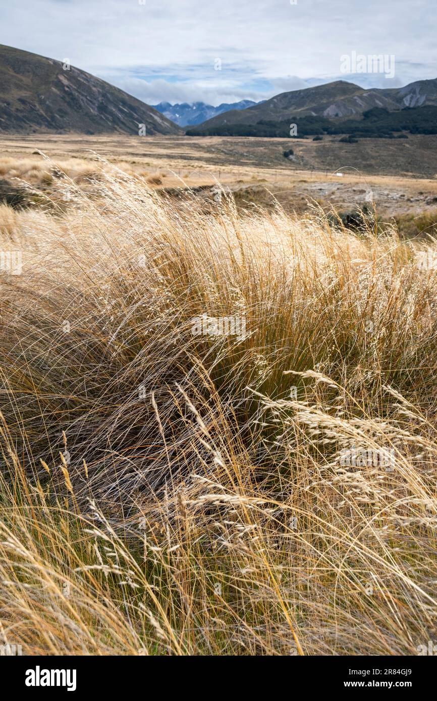 Tussock covered plains and mountains, Lake Tennyson, near Hanmer Springs, Canterbury,South Island, New Zealand Stock Photohttps://www.alamy.com/image-license-details/?v=1https://www.alamy.com/tussock-covered-plains-and-mountains-lake-tennyson-near-hanmer-springs-canterburysouth-island-new-zealand-image555749889.html
RF2R84GJ9–Tussock covered plains and mountains, Lake Tennyson, near Hanmer Springs, Canterbury,South Island, New Zealand
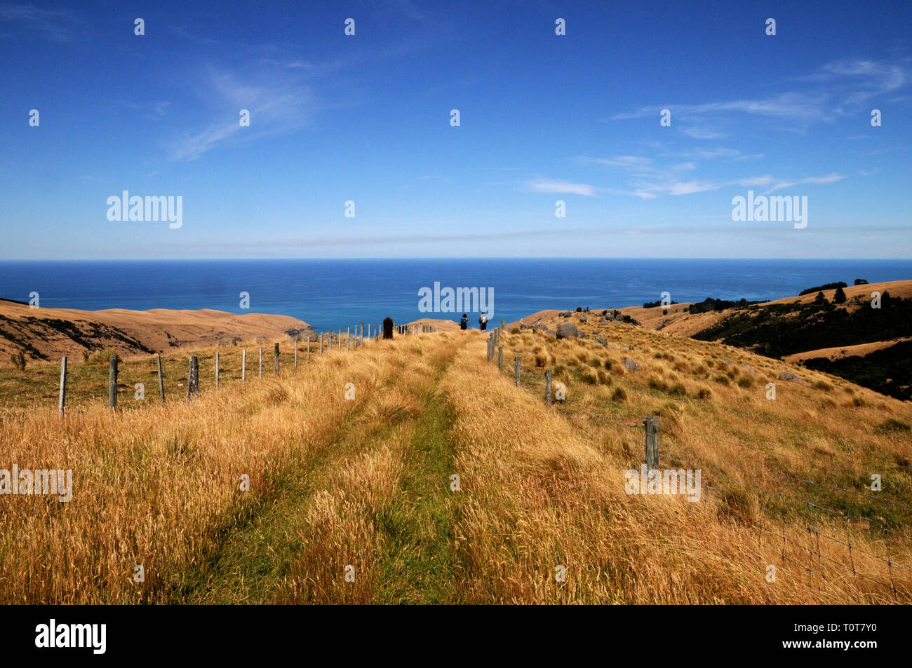 The trail down to Te Oka Bay on the Banks Peninsula on New Zealands South Island, near Christchurch. Stock Photohttps://www.alamy.com/image-license-details/?v=1https://www.alamy.com/the-trail-down-to-te-oka-bay-on-the-banks-peninsula-on-new-zealands-south-island-near-christchurch-image241478244.html
RFT0T7Y0–The trail down to Te Oka Bay on the Banks Peninsula on New Zealands South Island, near Christchurch.
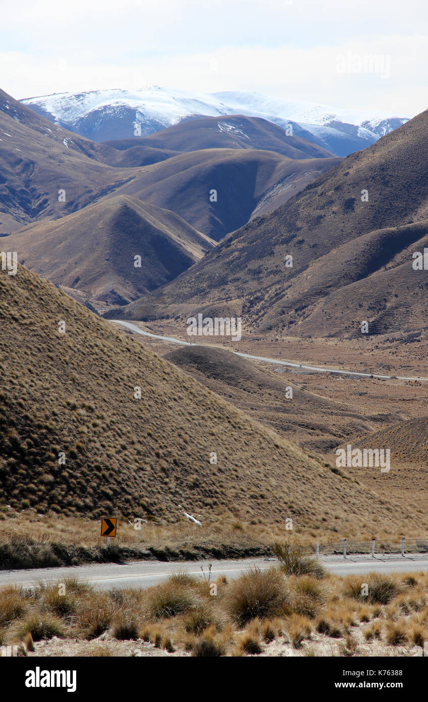 Lindis Pass New Zealand Stock Photohttps://www.alamy.com/image-license-details/?v=1https://www.alamy.com/lindis-pass-new-zealand-image159330200.html
RFK76388–Lindis Pass New Zealand
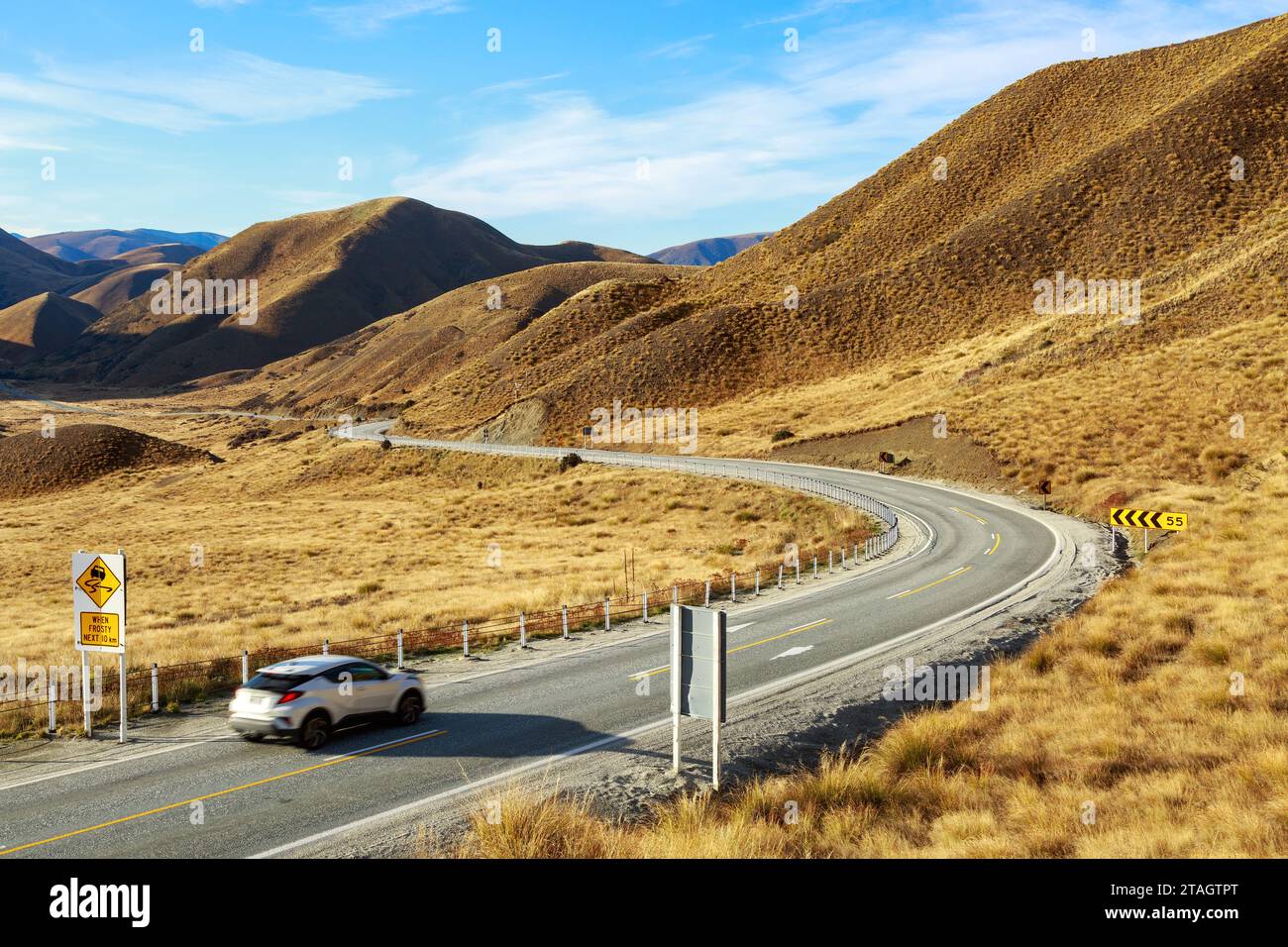 The road through the Lindis Pass in the South Island of New Zealand. Snow tussock grows on the mountains Stock Photohttps://www.alamy.com/image-license-details/?v=1https://www.alamy.com/the-road-through-the-lindis-pass-in-the-south-island-of-new-zealand-snow-tussock-grows-on-the-mountains-image574459392.html
RF2TAGTPT–The road through the Lindis Pass in the South Island of New Zealand. Snow tussock grows on the mountains
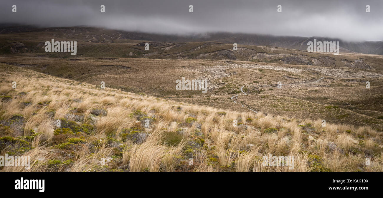 Trail leading through tussock grassland on a moody day in Tongariro National Park ( North Island, New Zealand). Stock Photohttps://www.alamy.com/image-license-details/?v=1https://www.alamy.com/stock-image-trail-leading-through-tussock-grassland-on-a-moody-day-in-tongariro-161458022.html
RFKAK19X–Trail leading through tussock grassland on a moody day in Tongariro National Park ( North Island, New Zealand).
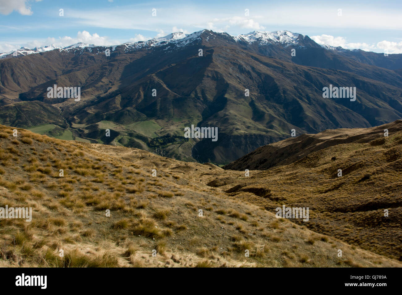 The highest mountain pass of New Zealand crosses the Southern Alps as Cadrona Pass at 1078 meter in a typical Tussock grassland. Stock Photohttps://www.alamy.com/image-license-details/?v=1https://www.alamy.com/stock-photo-the-highest-mountain-pass-of-new-zealand-crosses-the-southern-alps-114486214.html
RMGJ789A–The highest mountain pass of New Zealand crosses the Southern Alps as Cadrona Pass at 1078 meter in a typical Tussock grassland.
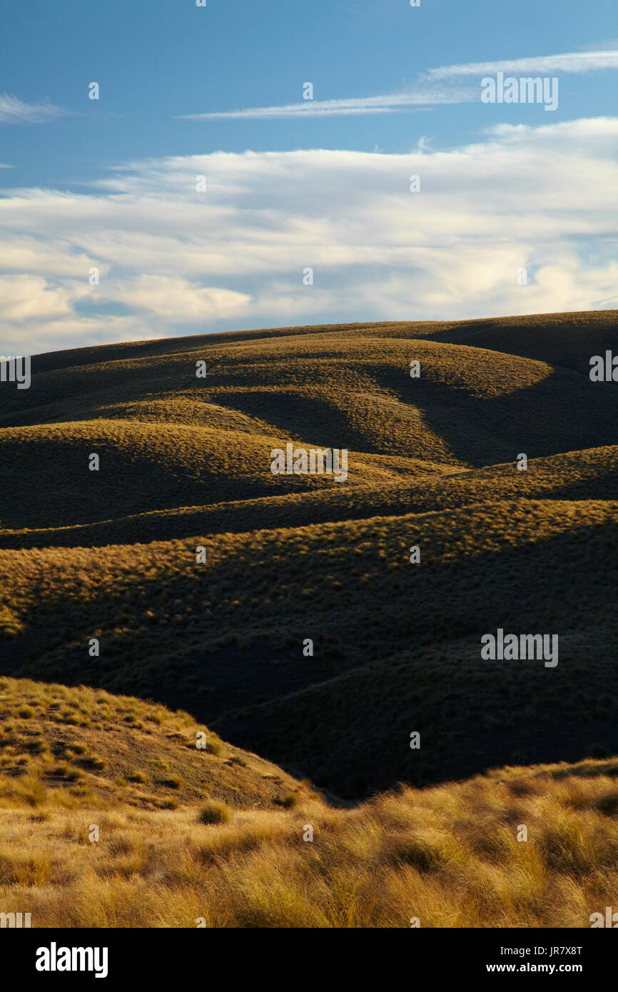 Tussock on Hills beside the Pigroot Highway, Maniototo, South Island, New Zealand Stock Photohttps://www.alamy.com/image-license-details/?v=1https://www.alamy.com/tussock-on-hills-beside-the-pigroot-highway-maniototo-south-island-image151994328.html
RMJR7X8T–Tussock on Hills beside the Pigroot Highway, Maniototo, South Island, New Zealand
 New Zealand road sign Stock Photohttps://www.alamy.com/image-license-details/?v=1https://www.alamy.com/new-zealand-road-sign-image484161062.html
RM2K3KCAE–New Zealand road sign
 Fiordland Mountain Daisy and native plants, scenic view from Mackinnon Pass to Clinton Canyon on background, New Zealand Stock Photohttps://www.alamy.com/image-license-details/?v=1https://www.alamy.com/fiordland-mountain-daisy-and-native-plants-scenic-view-from-mackinnon-pass-to-clinton-canyon-on-background-new-zealand-image463502008.html
RF2HX29F4–Fiordland Mountain Daisy and native plants, scenic view from Mackinnon Pass to Clinton Canyon on background, New Zealand
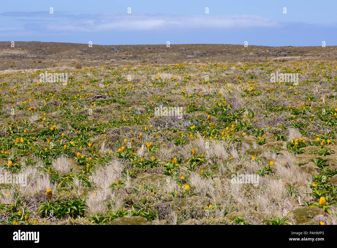 Megaherb Bulbinella rossii on Auckland Islands, New Zealand Stock Photohttps://www.alamy.com/image-license-details/?v=1https://www.alamy.com/megaherb-bulbinella-rossii-on-auckland-islands-new-zealand-image213060459.html
RMPAHMP3–Megaherb Bulbinella rossii on Auckland Islands, New Zealand
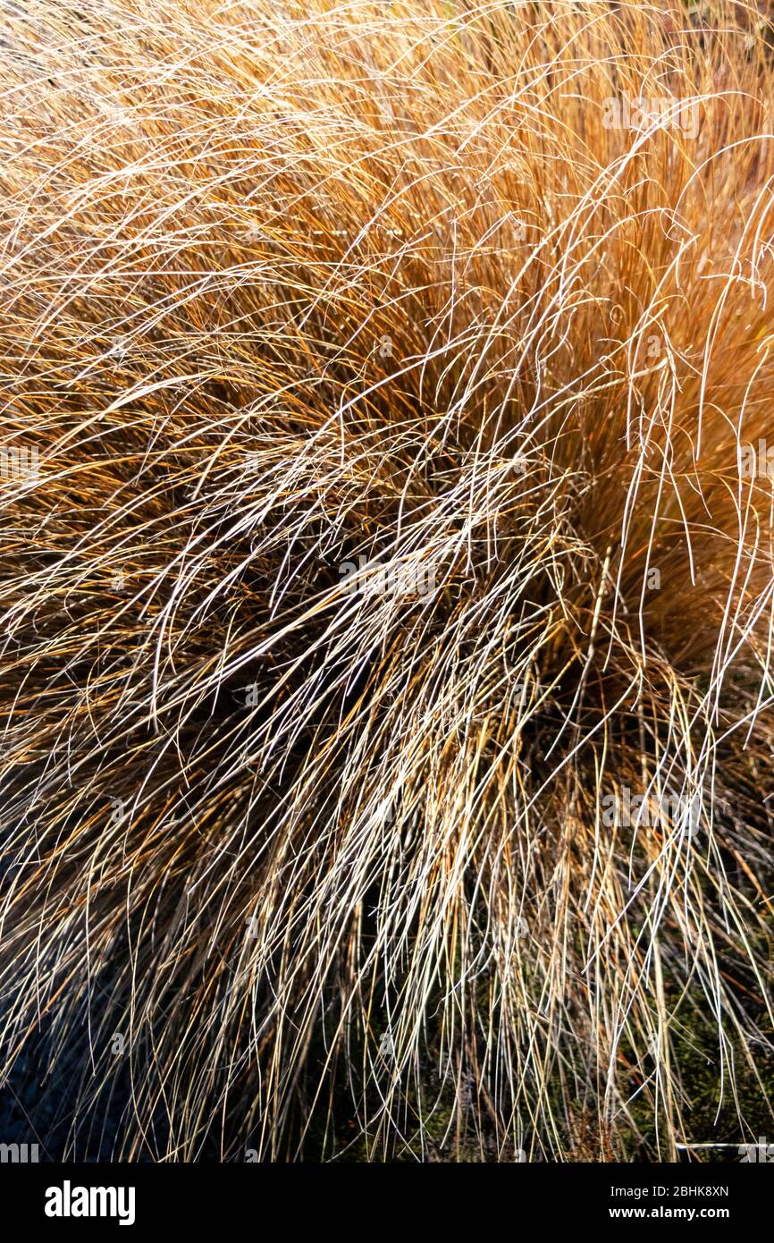 Vibrant, windblown, grassland tussocks bathed in golden sunlight, New Zealand Stock Photohttps://www.alamy.com/image-license-details/?v=1https://www.alamy.com/vibrant-windblown-grassland-tussocks-bathed-in-golden-sunlight-new-zealand-image355080621.html
RF2BHK8XN–Vibrant, windblown, grassland tussocks bathed in golden sunlight, New Zealand
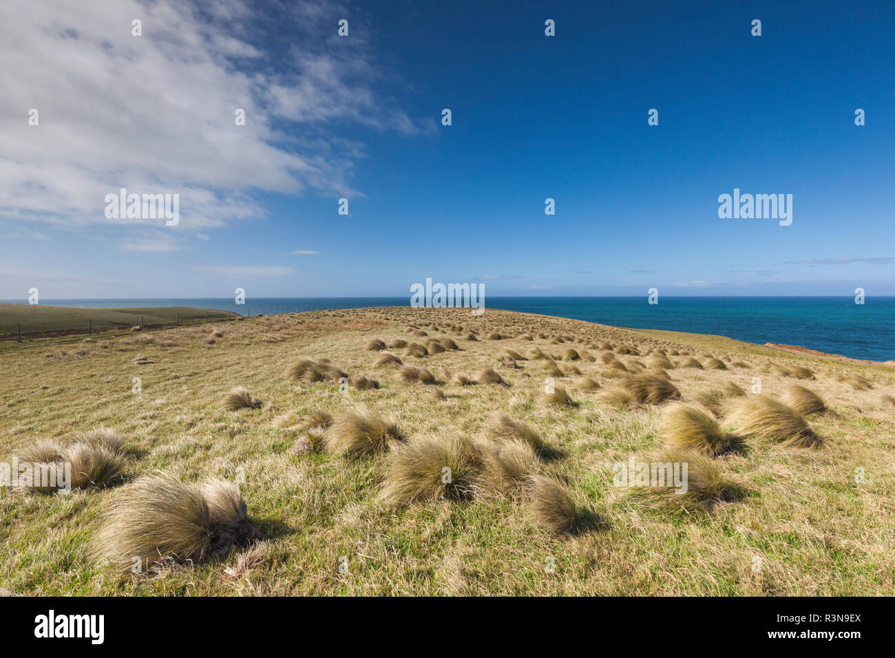 New Zealand, South Island, Southland, The Catlins, Slope Point, Southern-most point of the South Island of New Zealand, tussock landscape Stock Photohttps://www.alamy.com/image-license-details/?v=1https://www.alamy.com/new-zealand-south-island-southland-the-catlins-slope-point-southern-most-point-of-the-south-island-of-new-zealand-tussock-landscape-image226047218.html
RMR3N9EX–New Zealand, South Island, Southland, The Catlins, Slope Point, Southern-most point of the South Island of New Zealand, tussock landscape
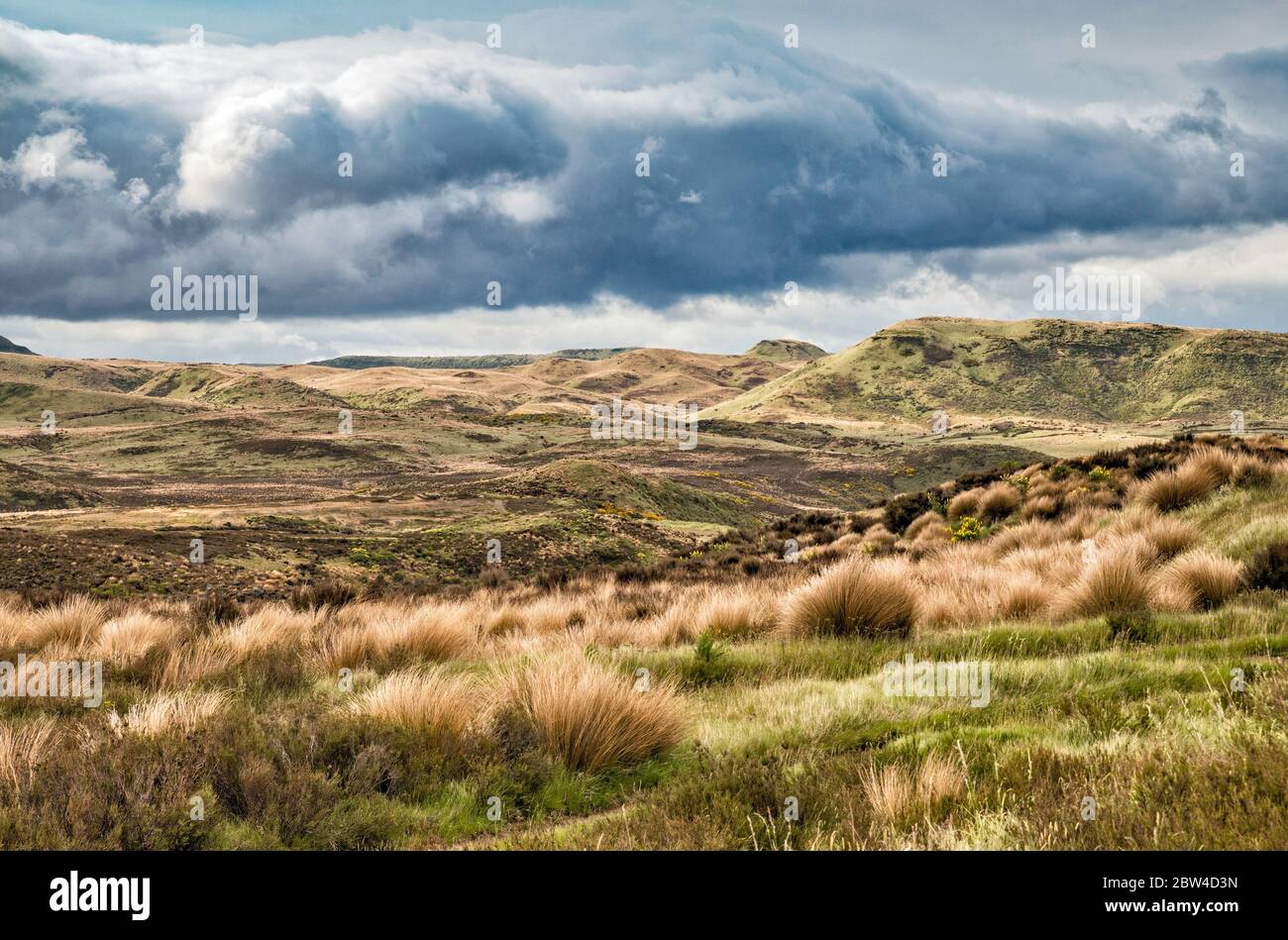 Tussock grasslands at Rangipo Desert, North Island Volcanic Plateau, Desert Road, near town of Waiouru, Wanganui Region, North Island, New Zealand Stock Photohttps://www.alamy.com/image-license-details/?v=1https://www.alamy.com/tussock-grasslands-at-rangipo-desert-north-island-volcanic-plateau-desert-road-near-town-of-waiouru-wanganui-region-north-island-new-zealand-image359671865.html
RF2BW4D3N–Tussock grasslands at Rangipo Desert, North Island Volcanic Plateau, Desert Road, near town of Waiouru, Wanganui Region, North Island, New Zealand
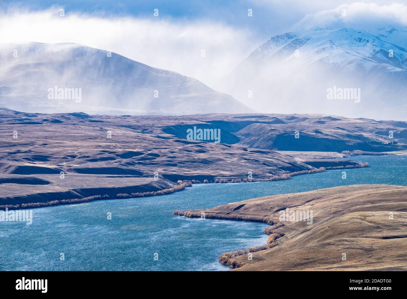 Lake Alexandrina looking towards storm clouds over Mount Joseph, Tekapo, New Zealand Stock Photohttps://www.alamy.com/image-license-details/?v=1https://www.alamy.com/lake-alexandrina-looking-towards-storm-clouds-over-mount-joseph-tekapo-new-zealand-image385079296.html
RM2DADTG0–Lake Alexandrina looking towards storm clouds over Mount Joseph, Tekapo, New Zealand
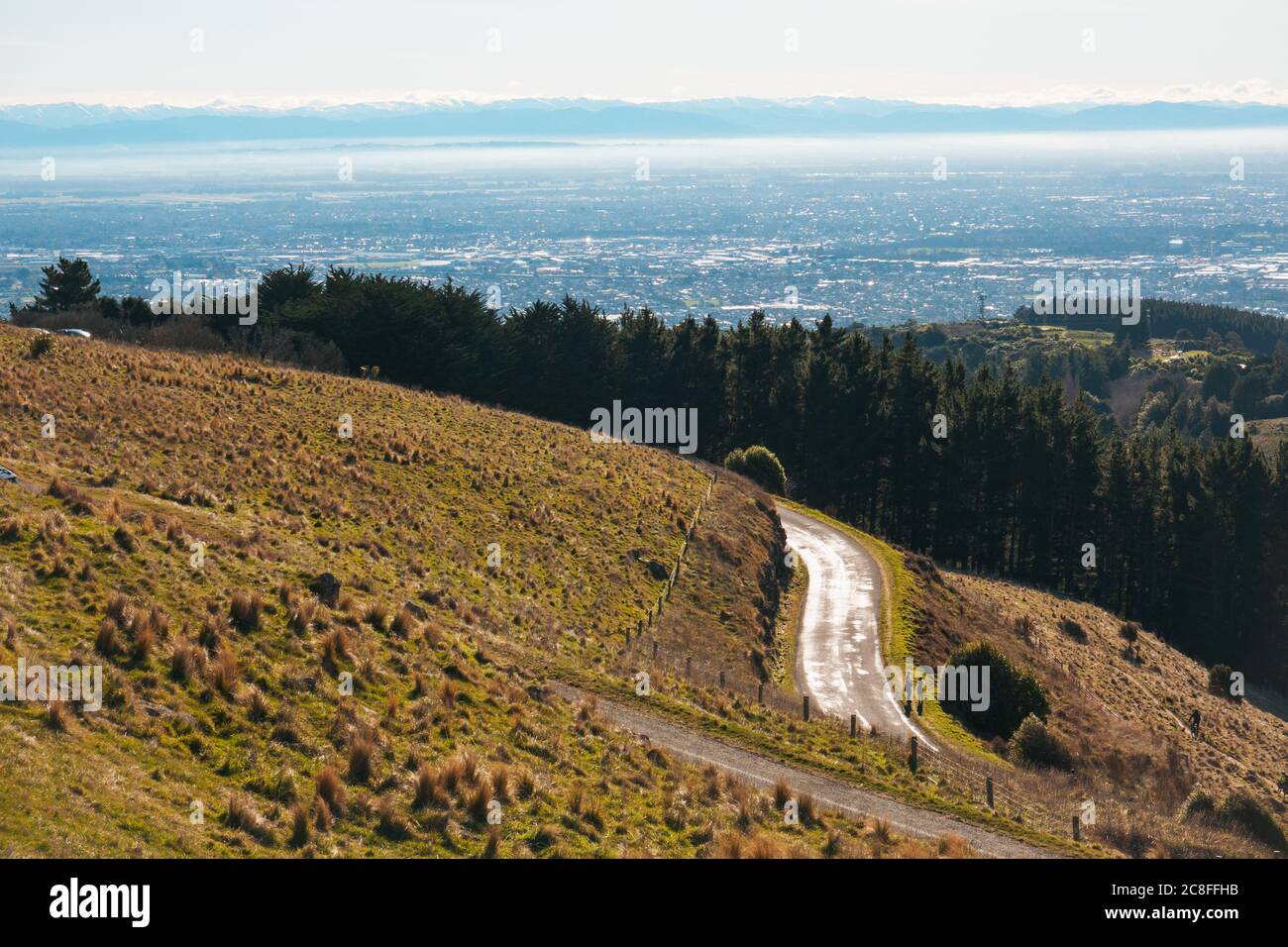 The Summit Road winding along the Port Hills in Christchurch, New Zealand Stock Photohttps://www.alamy.com/image-license-details/?v=1https://www.alamy.com/the-summit-road-winding-along-the-port-hills-in-christchurch-new-zealand-image366676503.html
RM2C8FFHB–The Summit Road winding along the Port Hills in Christchurch, New Zealand
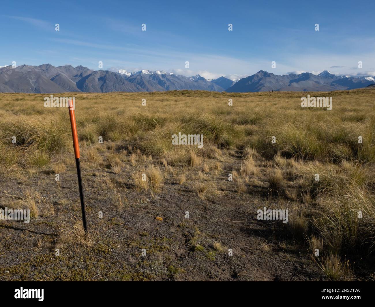 Orange trail markers show the way across open tussock grassland with New Zealands Southern Alps in the background Stock Photohttps://www.alamy.com/image-license-details/?v=1https://www.alamy.com/orange-trail-markers-show-the-way-across-open-tussock-grassland-with-new-zealands-southern-alps-in-the-background-image519671180.html
RM2N5D1W0–Orange trail markers show the way across open tussock grassland with New Zealands Southern Alps in the background
 Native tussock grass carpeting the slopes at Lindis Pass in the South Island of New Zealand Stock Photohttps://www.alamy.com/image-license-details/?v=1https://www.alamy.com/stock-photo-native-tussock-grass-carpeting-the-slopes-at-lindis-pass-in-the-south-20976704.html
RFB63G00–Native tussock grass carpeting the slopes at Lindis Pass in the South Island of New Zealand
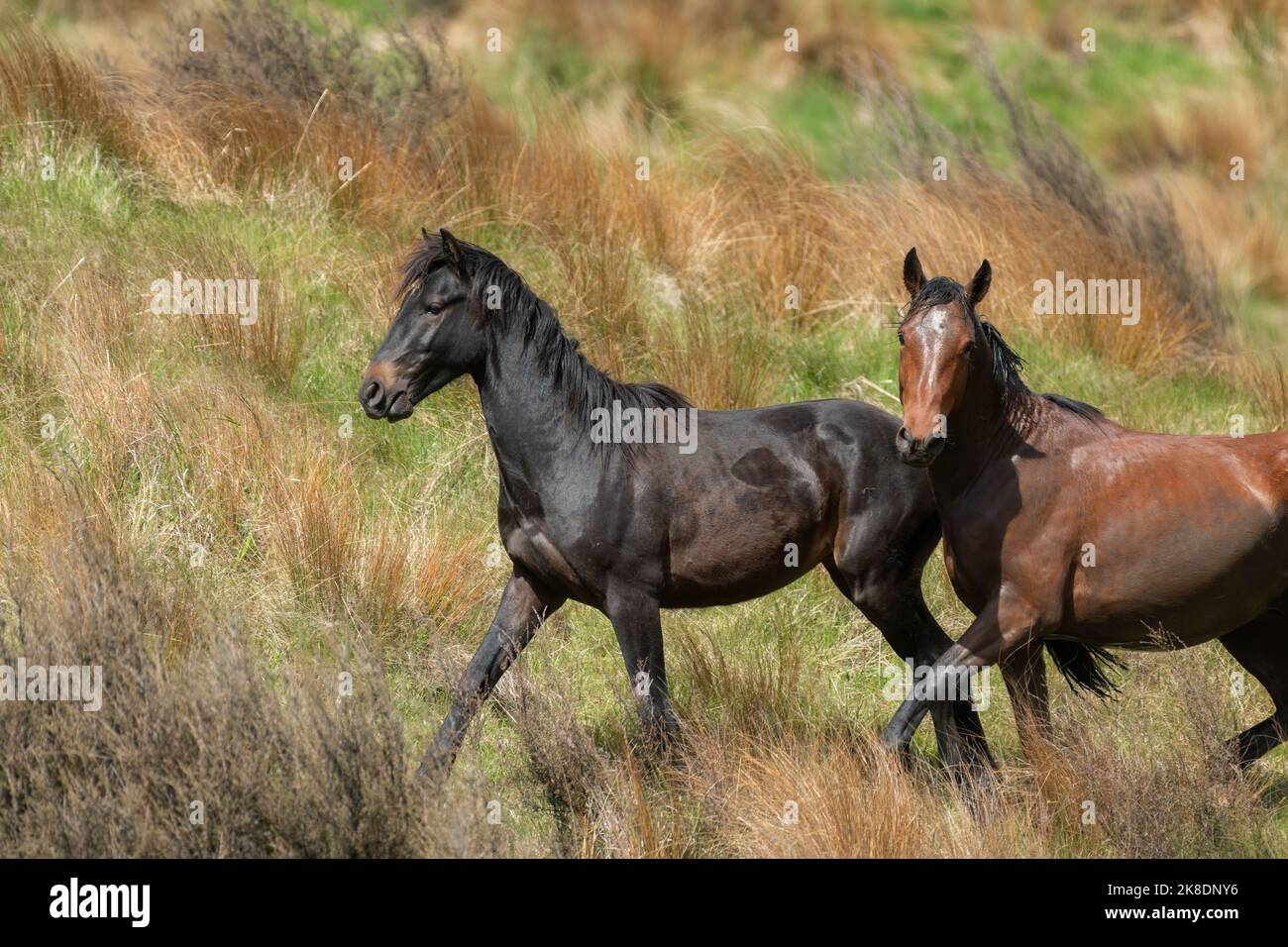 Two Kaimanawa wild horses galloping on the tussock grassland. New Zealand. Stock Photohttps://www.alamy.com/image-license-details/?v=1https://www.alamy.com/two-kaimanawa-wild-horses-galloping-on-the-tussock-grassland-new-zealand-image487110154.html
RF2K8DNY6–Two Kaimanawa wild horses galloping on the tussock grassland. New Zealand.
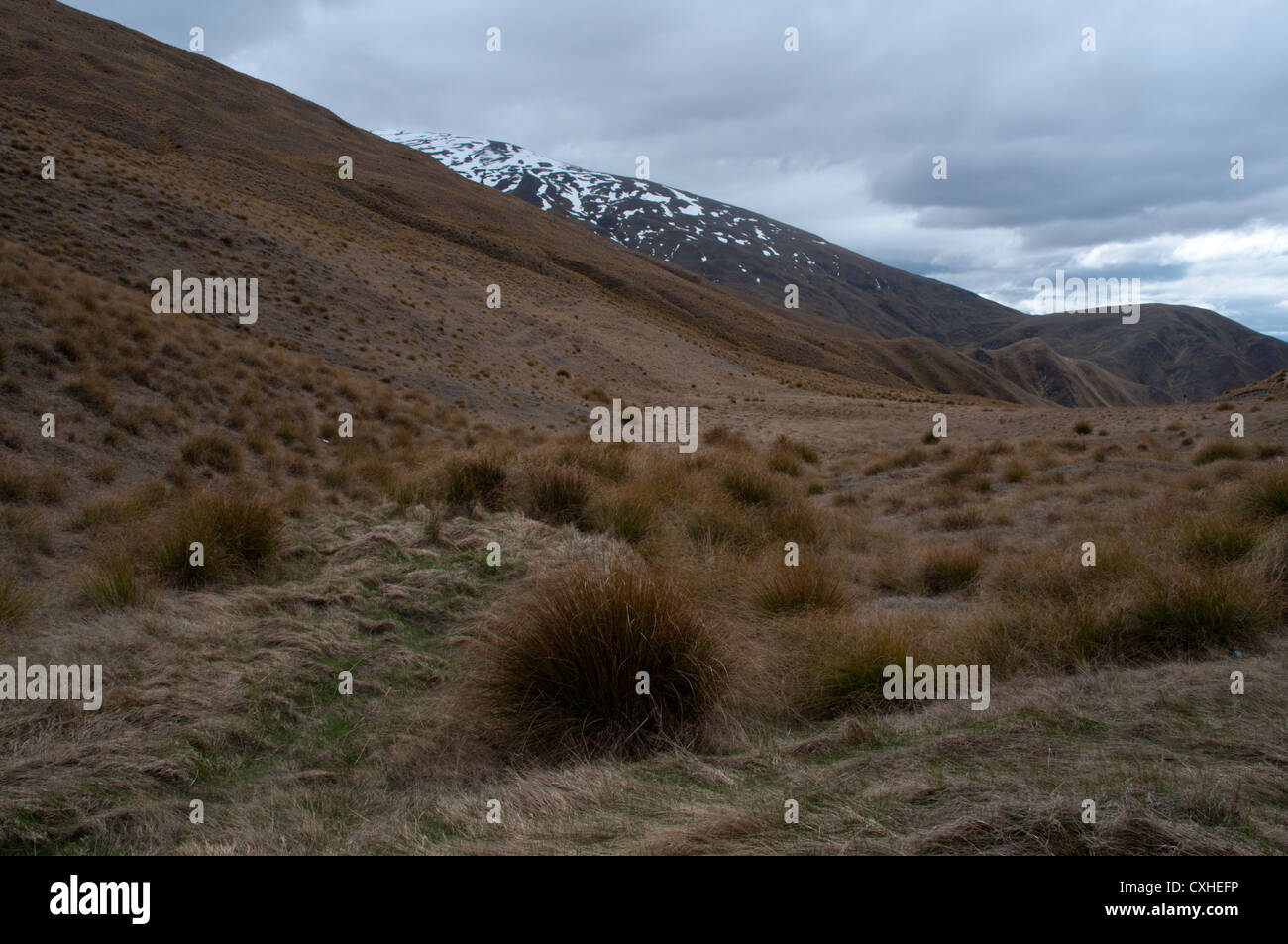 Tussock grass at 1072 meters elevation just aside Crown Range Road in the Southern Alpes of New Zealand. Tussockgras Stock Photohttps://www.alamy.com/image-license-details/?v=1https://www.alamy.com/stock-photo-tussock-grass-at-1072-meters-elevation-just-aside-crown-range-road-50786394.html
RMCXHEFP–Tussock grass at 1072 meters elevation just aside Crown Range Road in the Southern Alpes of New Zealand. Tussockgras
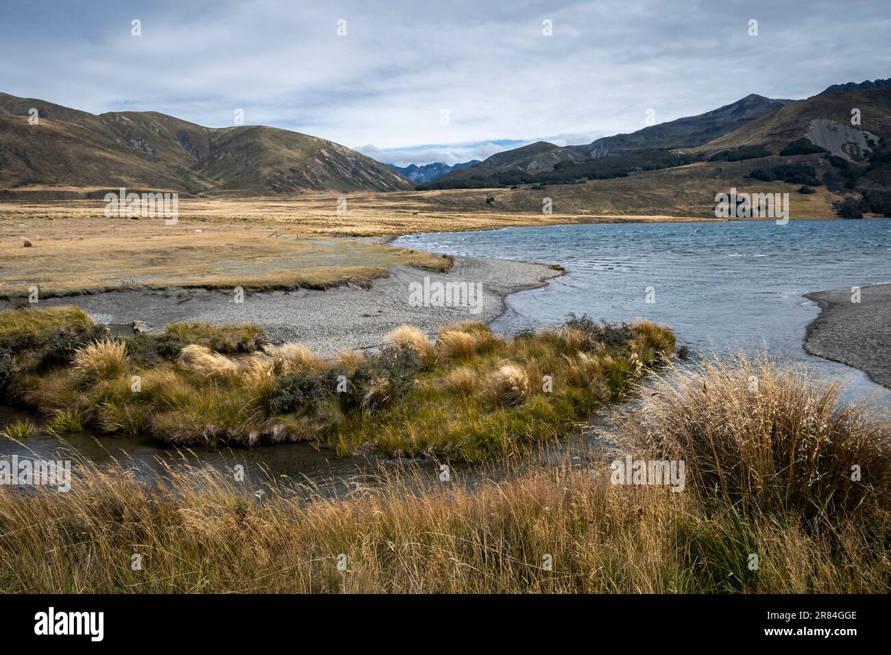 Tussock covered plains and mountains, Lake Tennyson, near Hanmer Springs, Canterbury, South Island, New Zealand Stock Photohttps://www.alamy.com/image-license-details/?v=1https://www.alamy.com/tussock-covered-plains-and-mountains-lake-tennyson-near-hanmer-springs-canterbury-south-island-new-zealand-image555749838.html
RF2R84GGE–Tussock covered plains and mountains, Lake Tennyson, near Hanmer Springs, Canterbury, South Island, New Zealand
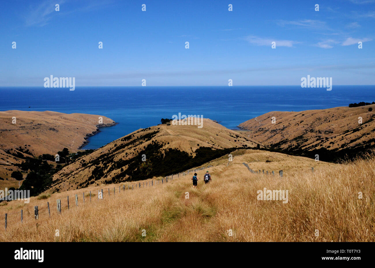 The trail down to Te Oka Bay on the Banks Peninsula on New Zealands South Island, near Christchurch. Stock Photohttps://www.alamy.com/image-license-details/?v=1https://www.alamy.com/the-trail-down-to-te-oka-bay-on-the-banks-peninsula-on-new-zealands-south-island-near-christchurch-image241478247.html
RFT0T7Y3–The trail down to Te Oka Bay on the Banks Peninsula on New Zealands South Island, near Christchurch.
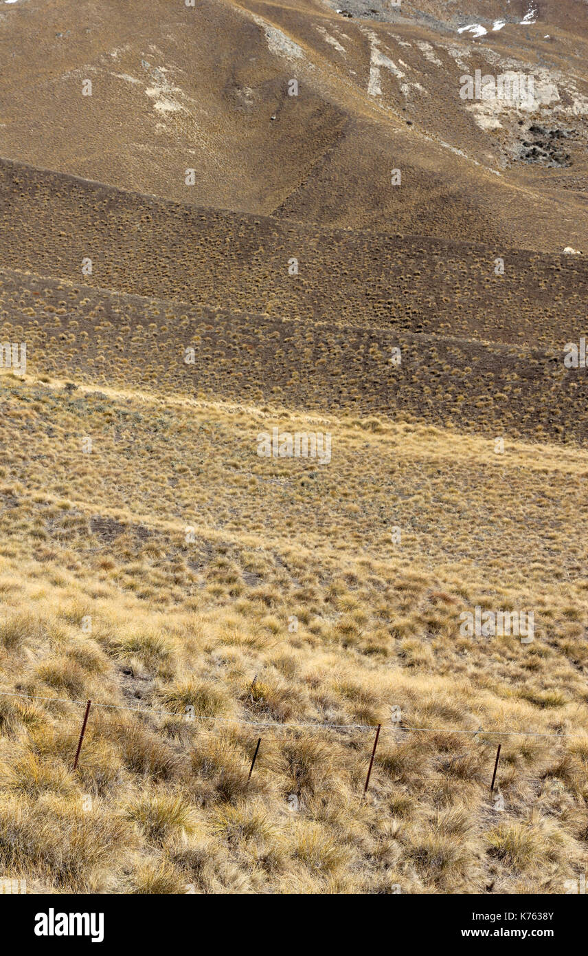 Lindis Pass New Zealand Stock Photohttps://www.alamy.com/image-license-details/?v=1https://www.alamy.com/lindis-pass-new-zealand-image159330219.html
RFK7638Y–Lindis Pass New Zealand
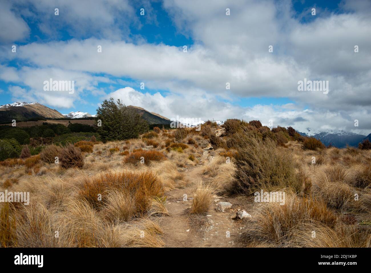 Bealey Spur Track among tussock grassland in Arthurs Pass National Park, New Zealand Stock Photohttps://www.alamy.com/image-license-details/?v=1https://www.alamy.com/bealey-spur-track-among-tussock-grassland-in-arthurs-pass-national-park-new-zealand-image389729082.html
RF2DJ1KBP–Bealey Spur Track among tussock grassland in Arthurs Pass National Park, New Zealand
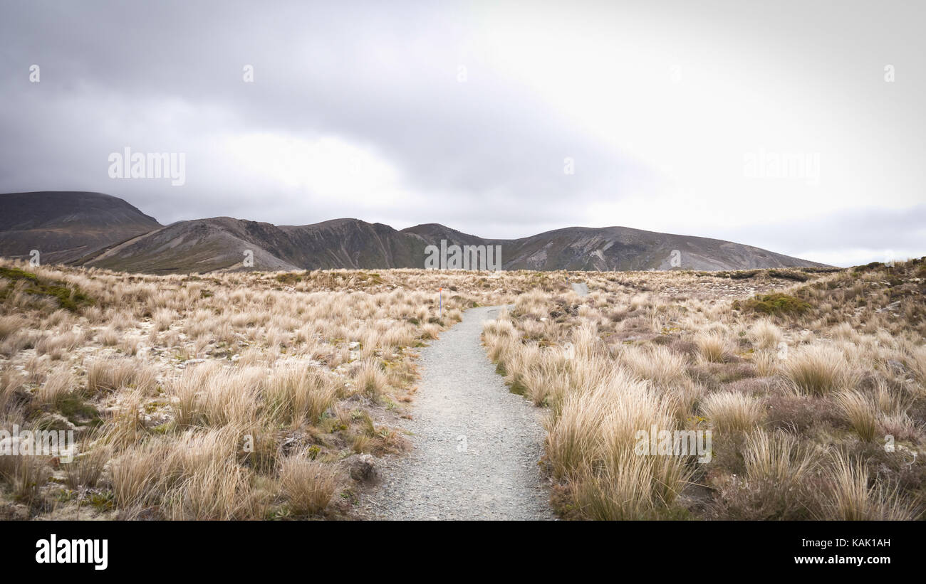 Trail leading through tussock grassland on a moody day in Tongariro National Park ( North Island, New Zealand). Stock Photohttps://www.alamy.com/image-license-details/?v=1https://www.alamy.com/stock-image-trail-leading-through-tussock-grassland-on-a-moody-day-in-tongariro-161458041.html
RFKAK1AH–Trail leading through tussock grassland on a moody day in Tongariro National Park ( North Island, New Zealand).
 A panoramic view of the Lindis Pass in the South Island of New Zealand. The hills are covered in snow tussocks Stock Photohttps://www.alamy.com/image-license-details/?v=1https://www.alamy.com/a-panoramic-view-of-the-lindis-pass-in-the-south-island-of-new-zealand-the-hills-are-covered-in-snow-tussocks-image557397489.html
RF2RARJ55–A panoramic view of the Lindis Pass in the South Island of New Zealand. The hills are covered in snow tussocks
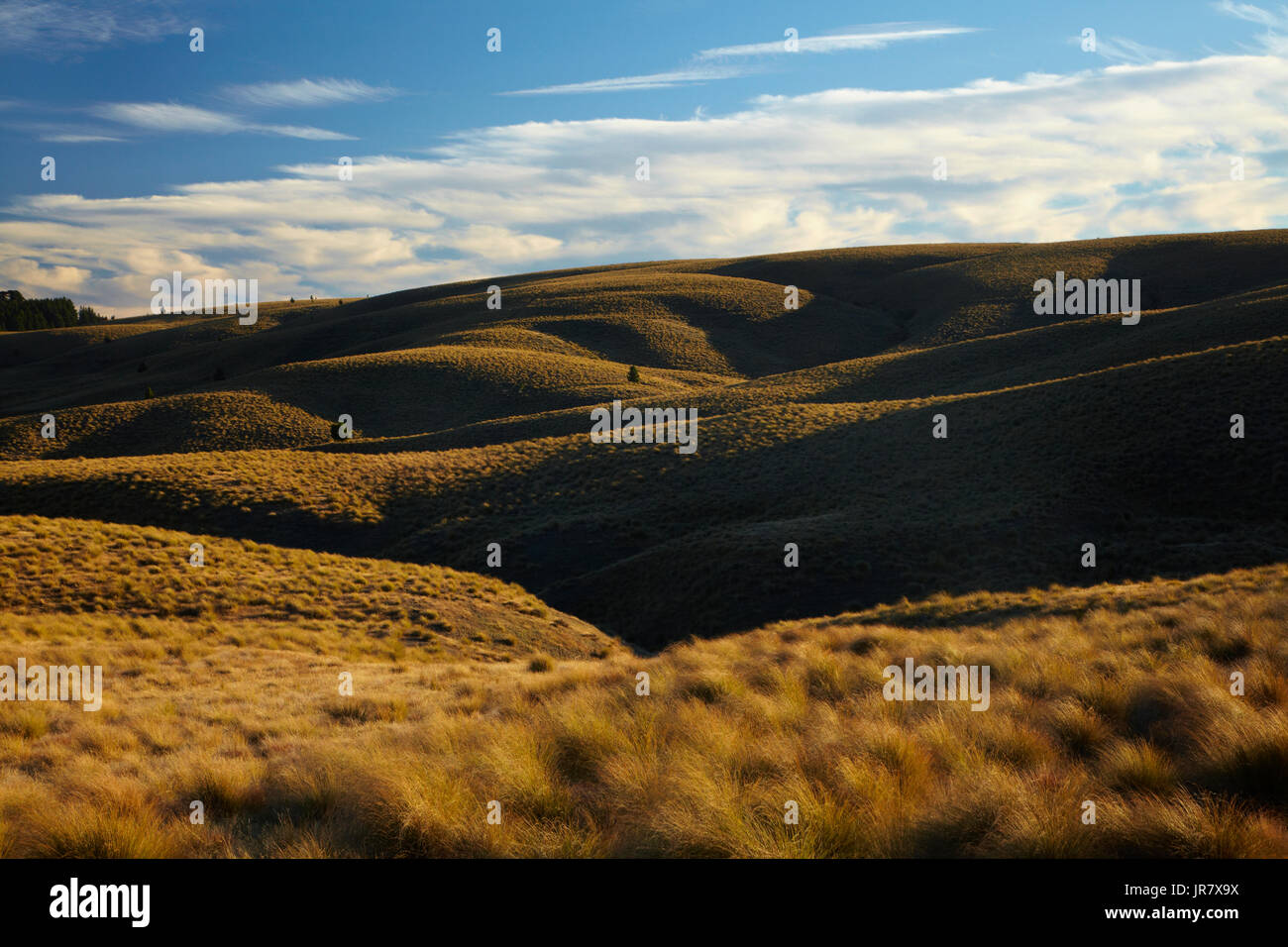 Tussock on Hills beside the Pigroot Highway, Maniototo, South Island, New Zealand Stock Photohttps://www.alamy.com/image-license-details/?v=1https://www.alamy.com/tussock-on-hills-beside-the-pigroot-highway-maniototo-south-island-image151994358.html
RMJR7X9X–Tussock on Hills beside the Pigroot Highway, Maniototo, South Island, New Zealand
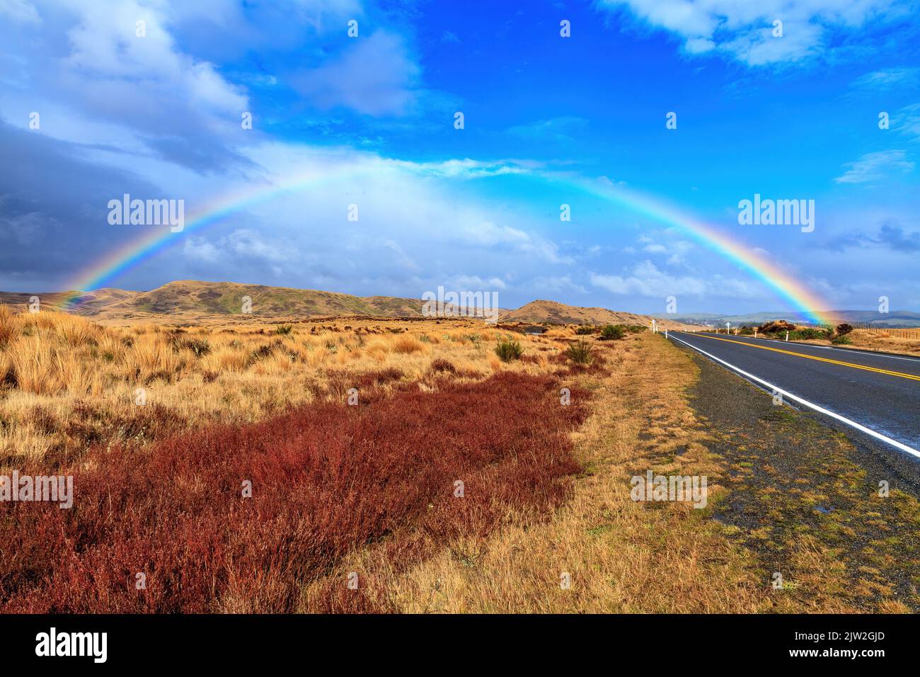 A rainbow over the Desert Road in the Volcanic Plateau of New Zealand's North Island Stock Photohttps://www.alamy.com/image-license-details/?v=1https://www.alamy.com/a-rainbow-over-the-desert-road-in-the-volcanic-plateau-of-new-zealands-north-island-image480103301.html
RF2JW2GJD–A rainbow over the Desert Road in the Volcanic Plateau of New Zealand's North Island
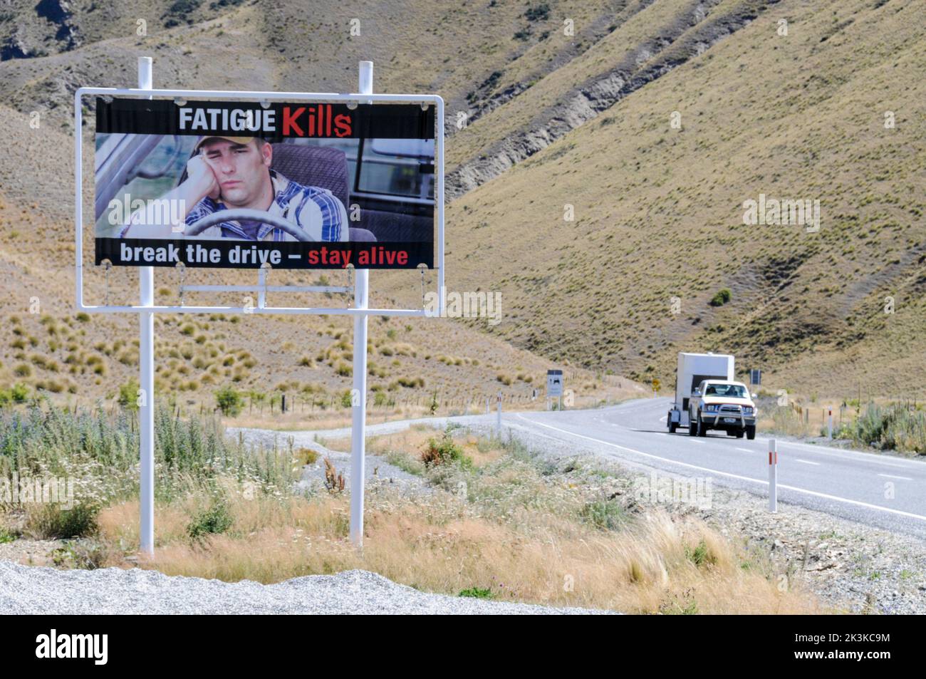 New Zealand road sign Stock Photohttps://www.alamy.com/image-license-details/?v=1https://www.alamy.com/new-zealand-road-sign-image484161040.html
RM2K3KC9M–New Zealand road sign
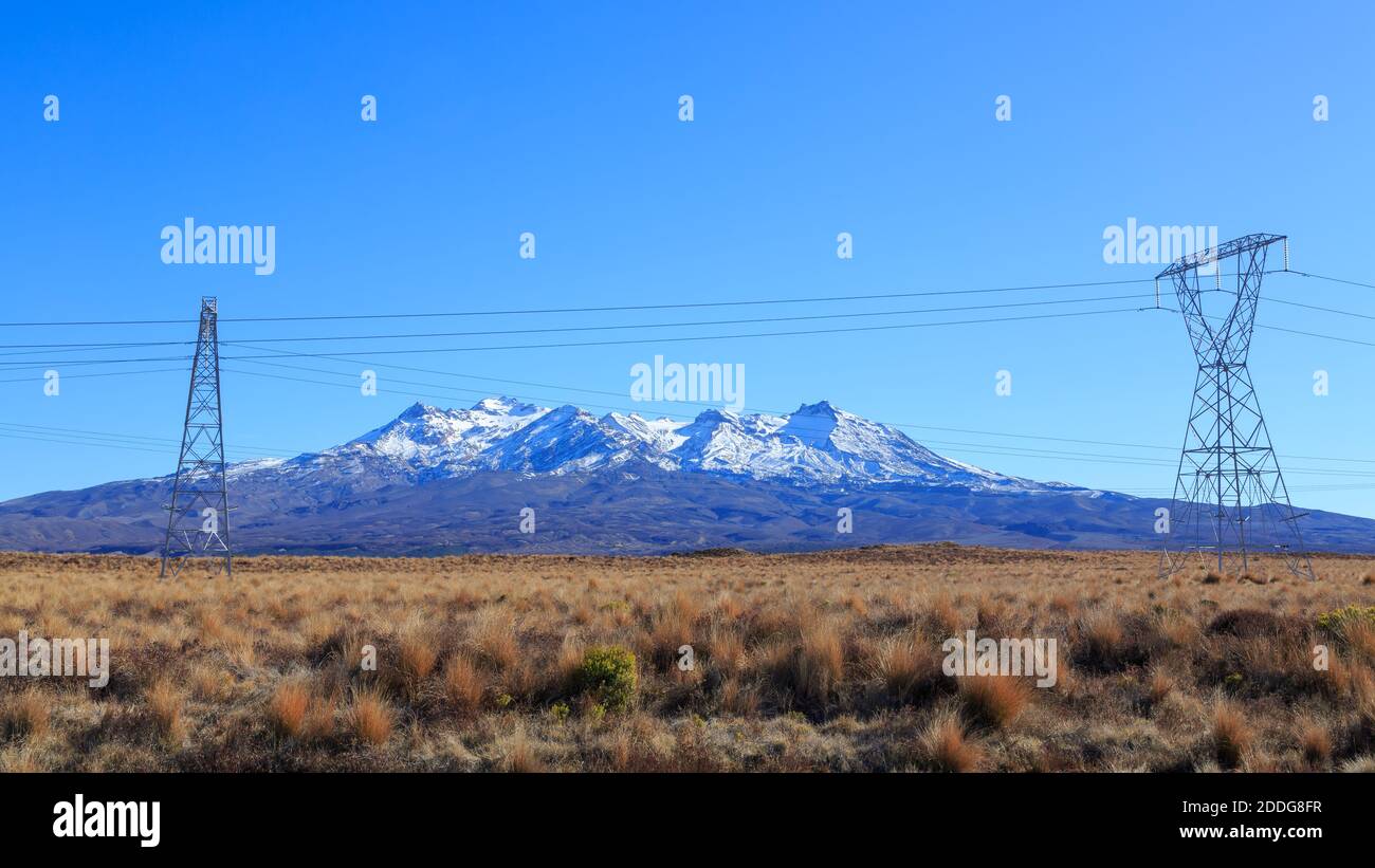 Mount Ruapehu, New Zealand, seen from the tussock lands of the Rangipo Desert, with power pylons in the foreground Stock Photohttps://www.alamy.com/image-license-details/?v=1https://www.alamy.com/mount-ruapehu-new-zealand-seen-from-the-tussock-lands-of-the-rangipo-desert-with-power-pylons-in-the-foreground-image386976571.html
RF2DDG8FR–Mount Ruapehu, New Zealand, seen from the tussock lands of the Rangipo Desert, with power pylons in the foreground
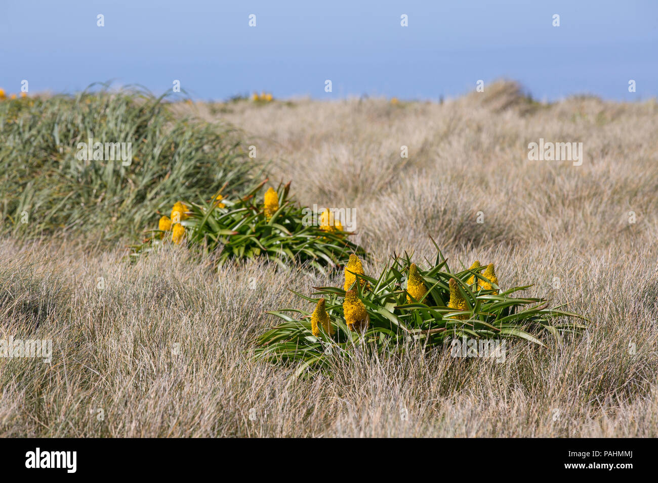 Megaherb Bulbinella rossii on Auckland Islands, New Zealand Stock Photohttps://www.alamy.com/image-license-details/?v=1https://www.alamy.com/megaherb-bulbinella-rossii-on-auckland-islands-new-zealand-image213060418.html
RMPAHMMJ–Megaherb Bulbinella rossii on Auckland Islands, New Zealand
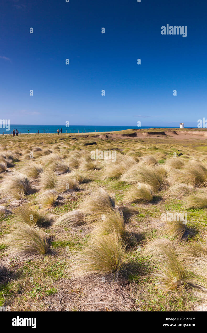 New Zealand, South Island, Southland, The Catlins, Slope Point, Southern-most point of the South Island of New Zealand, tussock landscape Stock Photohttps://www.alamy.com/image-license-details/?v=1https://www.alamy.com/new-zealand-south-island-southland-the-catlins-slope-point-southern-most-point-of-the-south-island-of-new-zealand-tussock-landscape-image226047219.html
RMR3N9EY–New Zealand, South Island, Southland, The Catlins, Slope Point, Southern-most point of the South Island of New Zealand, tussock landscape
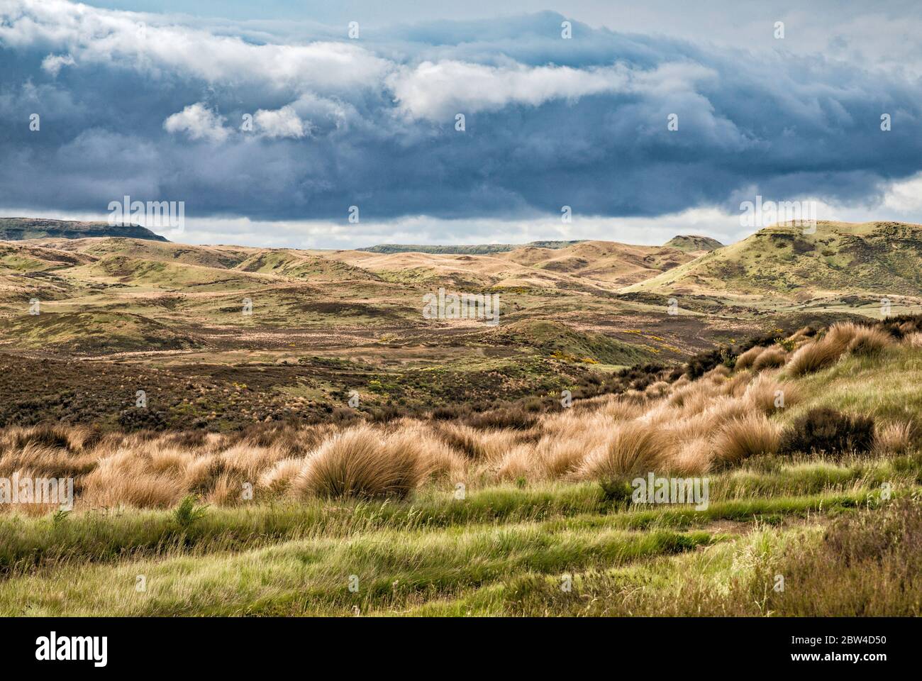 Tussock grasslands at Rangipo Desert, North Island Volcanic Plateau, Desert Road, near town of Waiouru, Wanganui Region, North Island, New Zealand Stock Photohttps://www.alamy.com/image-license-details/?v=1https://www.alamy.com/tussock-grasslands-at-rangipo-desert-north-island-volcanic-plateau-desert-road-near-town-of-waiouru-wanganui-region-north-island-new-zealand-image359671900.html
RF2BW4D50–Tussock grasslands at Rangipo Desert, North Island Volcanic Plateau, Desert Road, near town of Waiouru, Wanganui Region, North Island, New Zealand
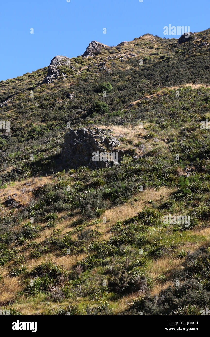 Korowai/Torlesse Tussocklands Park New Zealand in Torlesse and Big Ben ranges, in Canterbury’s high country, Stock Photohttps://www.alamy.com/image-license-details/?v=1https://www.alamy.com/stock-photo-korowaitorlesse-tussocklands-park-new-zealand-in-torlesse-and-big-80374577.html
RFEJNAGH–Korowai/Torlesse Tussocklands Park New Zealand in Torlesse and Big Ben ranges, in Canterbury’s high country,
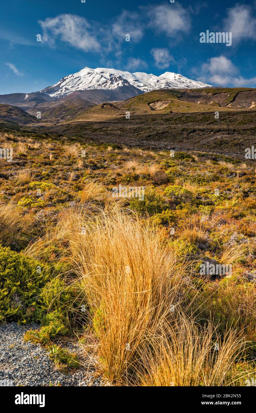 Mount Ruapehu, red tussock grass, Tongariro Northern Circuit trail, Tongariro National Park, Manawatu-Wanganui Region, North Island, New Zealand Stock Photohttps://www.alamy.com/image-license-details/?v=1https://www.alamy.com/mount-ruapehu-red-tussock-grass-tongariro-northern-circuit-trail-tongariro-national-park-manawatu-wanganui-region-north-island-new-zealand-image355946337.html
RF2BK2N55–Mount Ruapehu, red tussock grass, Tongariro Northern Circuit trail, Tongariro National Park, Manawatu-Wanganui Region, North Island, New Zealand
 The Summit Road winding along the Port Hills in Christchurch, New Zealand Stock Photohttps://www.alamy.com/image-license-details/?v=1https://www.alamy.com/the-summit-road-winding-along-the-port-hills-in-christchurch-new-zealand-image366676494.html
RM2C8FFH2–The Summit Road winding along the Port Hills in Christchurch, New Zealand
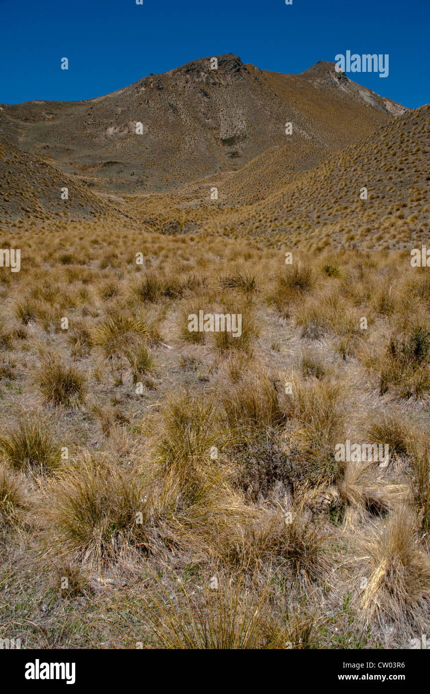 At 971 meters above sea level on Lindis Pass in Central Otago low rainfall creates tussock grasslands in New Zealand. Stock Photohttps://www.alamy.com/image-license-details/?v=1https://www.alamy.com/stock-photo-at-971-meters-above-sea-level-on-lindis-pass-in-central-otago-low-49790138.html
RMCW03R6–At 971 meters above sea level on Lindis Pass in Central Otago low rainfall creates tussock grasslands in New Zealand.
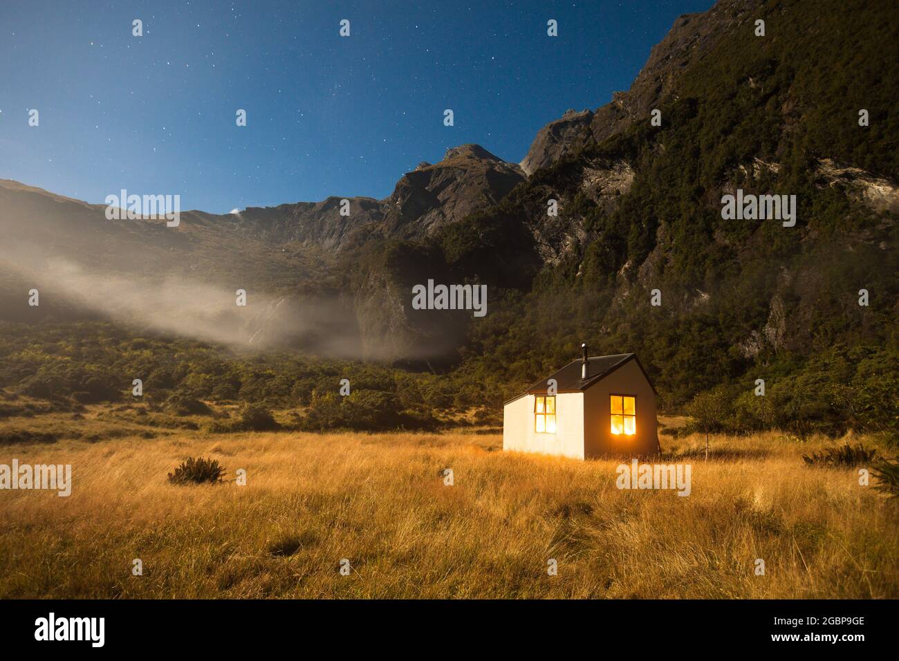 Moonlight, Christmas Flat Hut, Karangarua Valley, Westland, New Zealand Stock Photohttps://www.alamy.com/image-license-details/?v=1https://www.alamy.com/moonlight-christmas-flat-hut-karangarua-valley-westland-new-zealand-image437510878.html
RF2GBP9GE–Moonlight, Christmas Flat Hut, Karangarua Valley, Westland, New Zealand
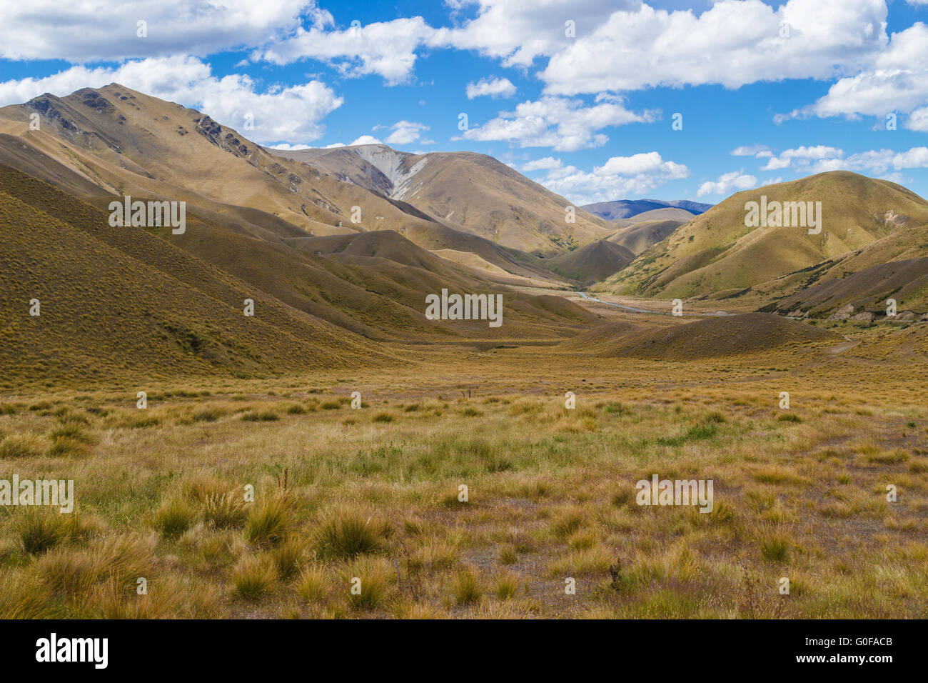 Lindis Pass, South Island, New Zealand Stock Photohttps://www.alamy.com/image-license-details/?v=1https://www.alamy.com/stock-photo-lindis-pass-south-island-new-zealand-103599675.html
RMG0FACB–Lindis Pass, South Island, New Zealand
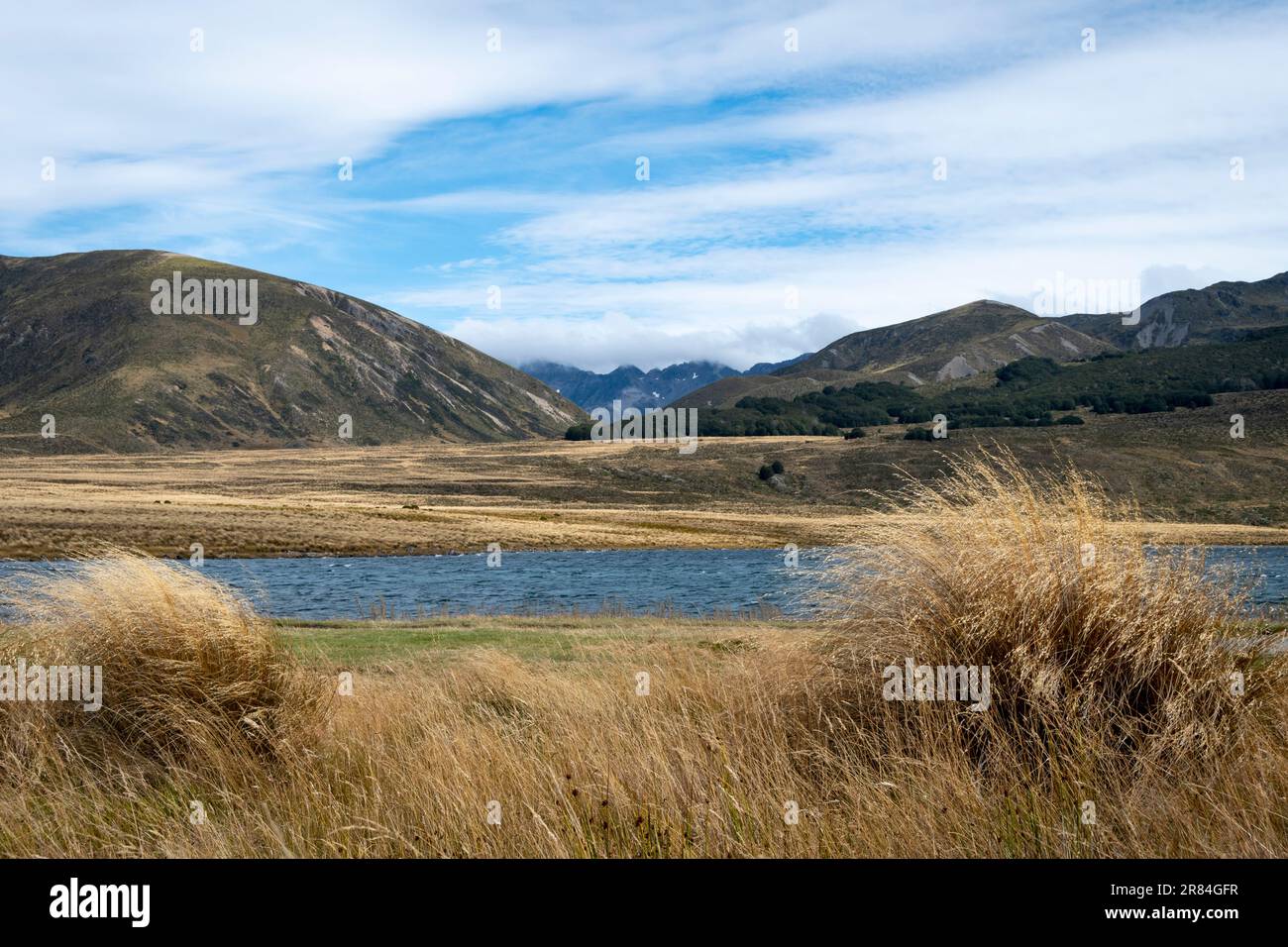 Tussock covered plains and mountains, Lake Tennyson, near Hanmer Springs, Canterbury, South Island, New Zealand Stock Photohttps://www.alamy.com/image-license-details/?v=1https://www.alamy.com/tussock-covered-plains-and-mountains-lake-tennyson-near-hanmer-springs-canterbury-south-island-new-zealand-image555749819.html
RF2R84GFR–Tussock covered plains and mountains, Lake Tennyson, near Hanmer Springs, Canterbury, South Island, New Zealand
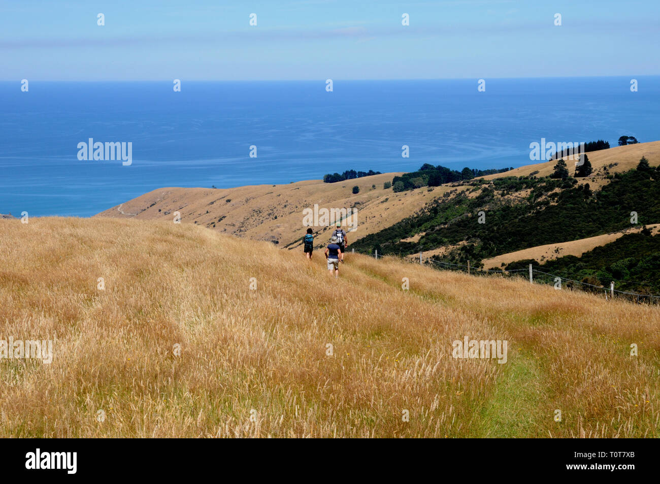 The trail down to Te Oka Bay on the Banks Peninsula on New Zealands South Island, near Christchurch. Stock Photohttps://www.alamy.com/image-license-details/?v=1https://www.alamy.com/the-trail-down-to-te-oka-bay-on-the-banks-peninsula-on-new-zealands-south-island-near-christchurch-image241478227.html
RFT0T7XB–The trail down to Te Oka Bay on the Banks Peninsula on New Zealands South Island, near Christchurch.
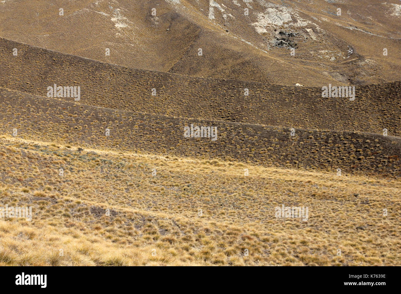 Lindis Pass New Zealand Stock Photohttps://www.alamy.com/image-license-details/?v=1https://www.alamy.com/lindis-pass-new-zealand-image159330234.html
RFK7639E–Lindis Pass New Zealand
 Mountains and tussock, Lindis Pass, near Omarama, Canterbury, South Island, New Zealand Stock Photohttps://www.alamy.com/image-license-details/?v=1https://www.alamy.com/mountains-and-tussock-lindis-pass-near-omarama-canterbury-south-island-new-zealand-image425580741.html
RF2FMATG5–Mountains and tussock, Lindis Pass, near Omarama, Canterbury, South Island, New Zealand
 B&W : Trail leading through tussock grassland on a moody day in Tongariro National Park (North Island, New Zealand). Stock Photohttps://www.alamy.com/image-license-details/?v=1https://www.alamy.com/stock-image-bw-trail-leading-through-tussock-grassland-on-a-moody-day-in-tongariro-161458064.html
RFKAK1BC–B&W : Trail leading through tussock grassland on a moody day in Tongariro National Park (North Island, New Zealand).
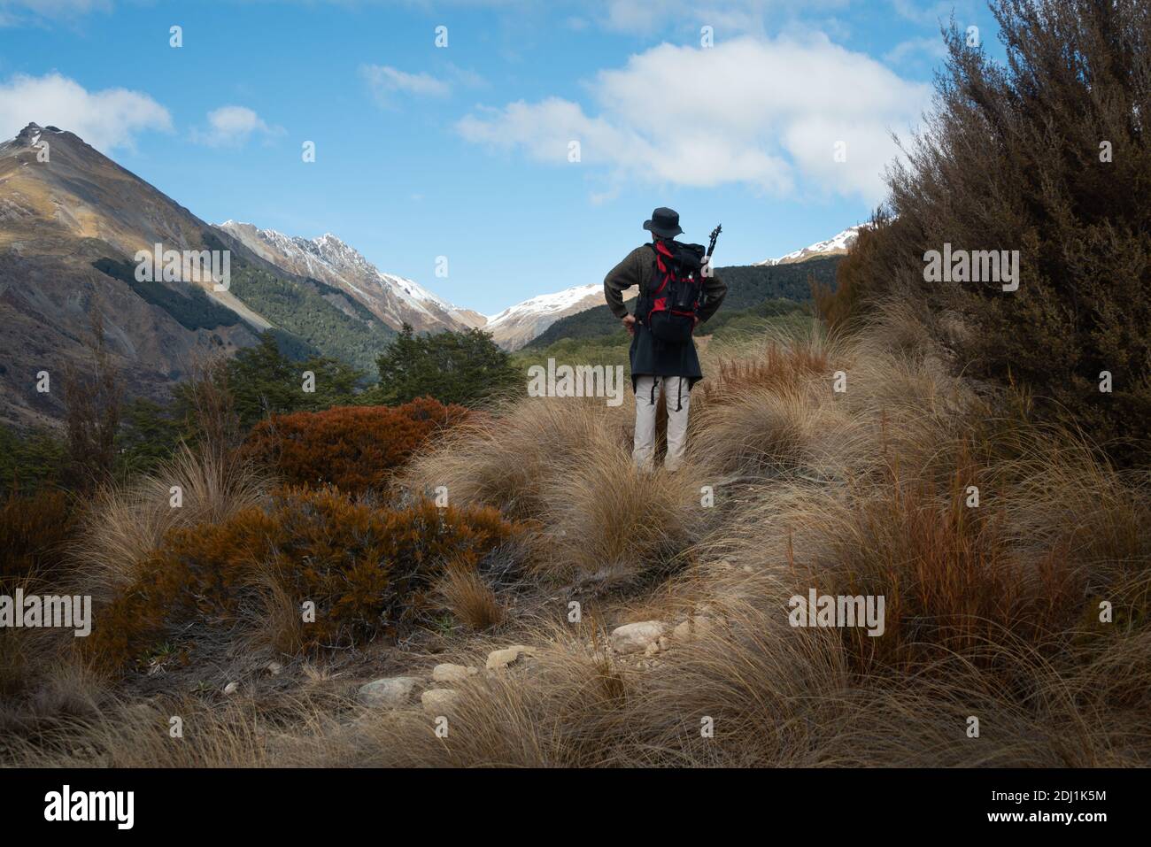 Tramping Bealey Spur Track among tussock grassland in Arthurs Pass National Park, New Zealand Stock Photohttps://www.alamy.com/image-license-details/?v=1https://www.alamy.com/tramping-bealey-spur-track-among-tussock-grassland-in-arthurs-pass-national-park-new-zealand-image389728912.html
RF2DJ1K5M–Tramping Bealey Spur Track among tussock grassland in Arthurs Pass National Park, New Zealand
 Tussock on Hills beside the Pigroot Highway, Maniototo, South Island, New Zealand Stock Photohttps://www.alamy.com/image-license-details/?v=1https://www.alamy.com/tussock-on-hills-beside-the-pigroot-highway-maniototo-south-island-image151994327.html
RMJR7X8R–Tussock on Hills beside the Pigroot Highway, Maniototo, South Island, New Zealand
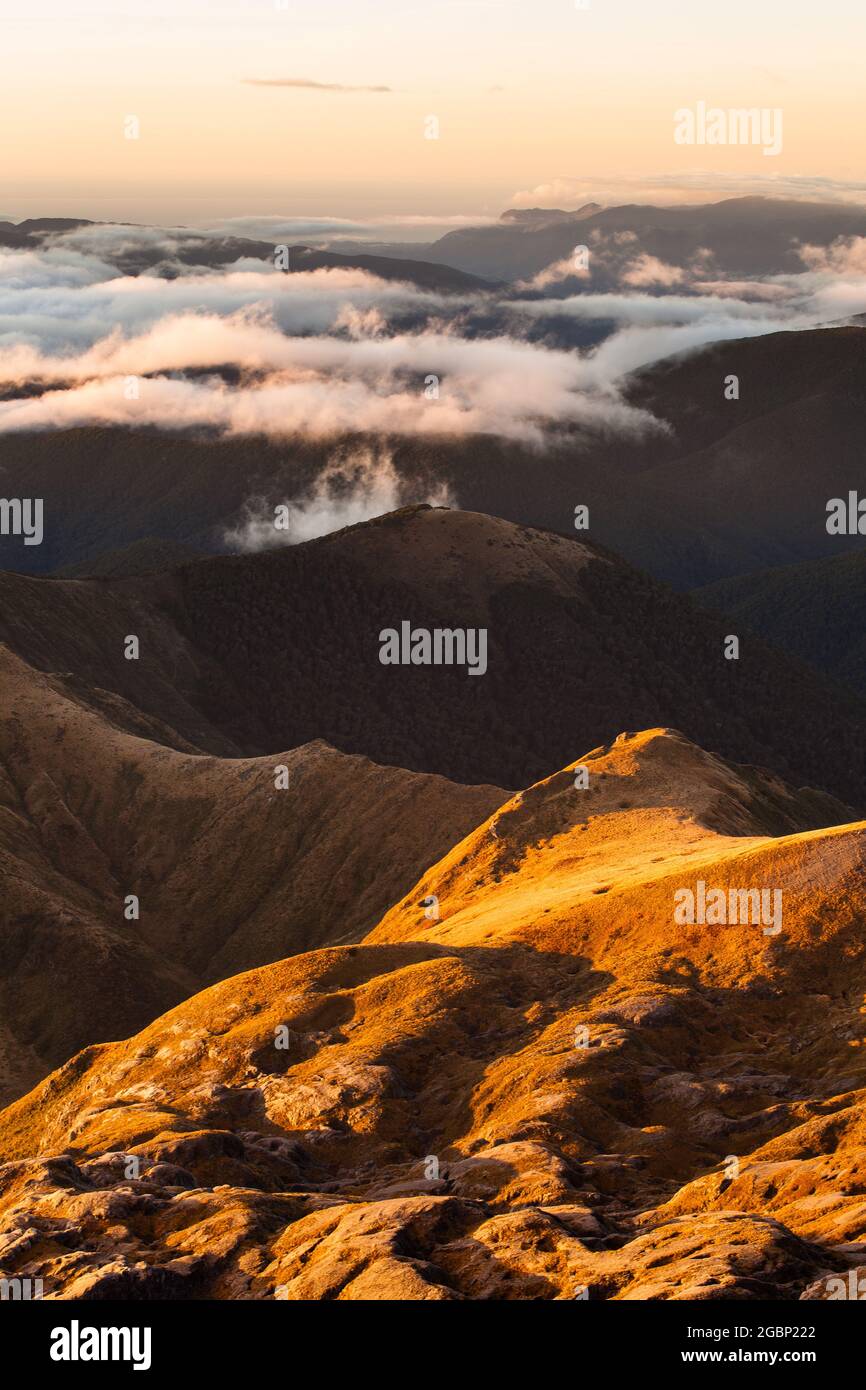 Karst landscape on the northern slopes of Mt Arthur. Kahurangi National Park, New Zealand Stock Photohttps://www.alamy.com/image-license-details/?v=1https://www.alamy.com/karst-landscape-on-the-northern-slopes-of-mt-arthur-kahurangi-national-park-new-zealand-image437504986.html
RF2GBP222–Karst landscape on the northern slopes of Mt Arthur. Kahurangi National Park, New Zealand
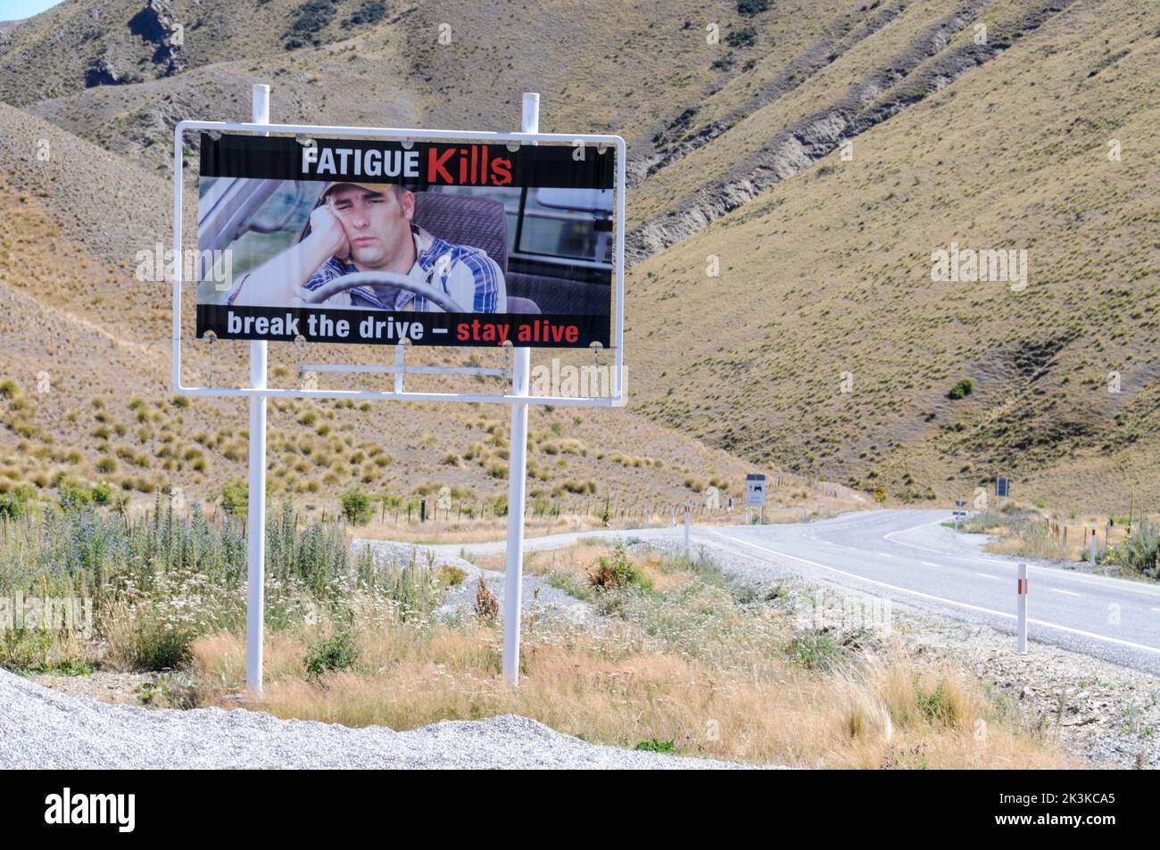 New Zealand road sign Stock Photohttps://www.alamy.com/image-license-details/?v=1https://www.alamy.com/new-zealand-road-sign-image484161053.html
RM2K3KCA5–New Zealand road sign
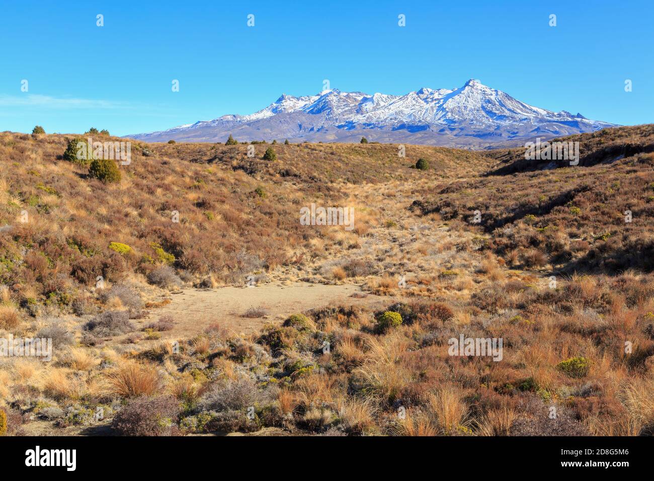 Mount Ruapehu, New Zealand, seen from the barren grasslands of the Rangipo Desert Stock Photohttps://www.alamy.com/image-license-details/?v=1https://www.alamy.com/mount-ruapehu-new-zealand-seen-from-the-barren-grasslands-of-the-rangipo-desert-image383901062.html
RF2D8G5M6–Mount Ruapehu, New Zealand, seen from the barren grasslands of the Rangipo Desert
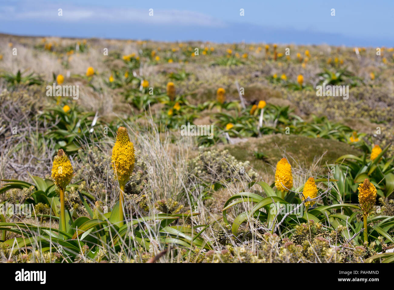 Megaherb Bulbinella rossii on Auckland Islands, New Zealand Stock Photohttps://www.alamy.com/image-license-details/?v=1https://www.alamy.com/megaherb-bulbinella-rossii-on-auckland-islands-new-zealand-image213060441.html
RMPAHMND–Megaherb Bulbinella rossii on Auckland Islands, New Zealand
 New Zealand, South Island, Southland, The Catlins, Slope Point, Southern-most point of the South Island of New Zealand, tussock landscape Stock Photohttps://www.alamy.com/image-license-details/?v=1https://www.alamy.com/new-zealand-south-island-southland-the-catlins-slope-point-southern-most-point-of-the-south-island-of-new-zealand-tussock-landscape-image226047232.html
RMR3N9FC–New Zealand, South Island, Southland, The Catlins, Slope Point, Southern-most point of the South Island of New Zealand, tussock landscape
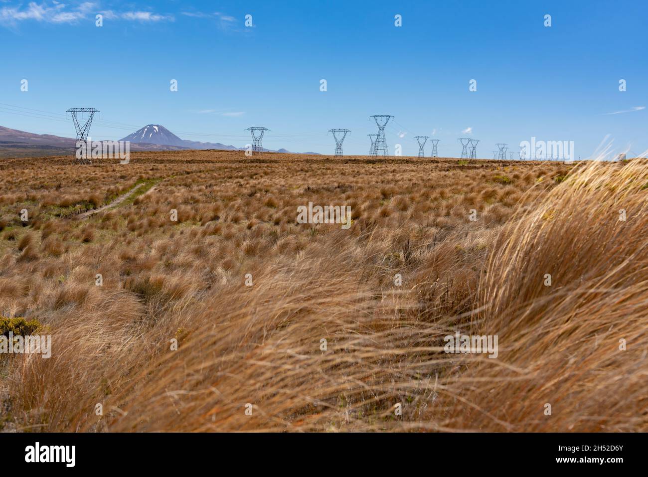 Tussock grass in Tongariro National Park, North Island, New Zealand Stock Photohttps://www.alamy.com/image-license-details/?v=1https://www.alamy.com/tussock-grass-in-tongariro-national-park-north-island-new-zealand-image450597139.html
RF2H52D6Y–Tussock grass in Tongariro National Park, North Island, New Zealand
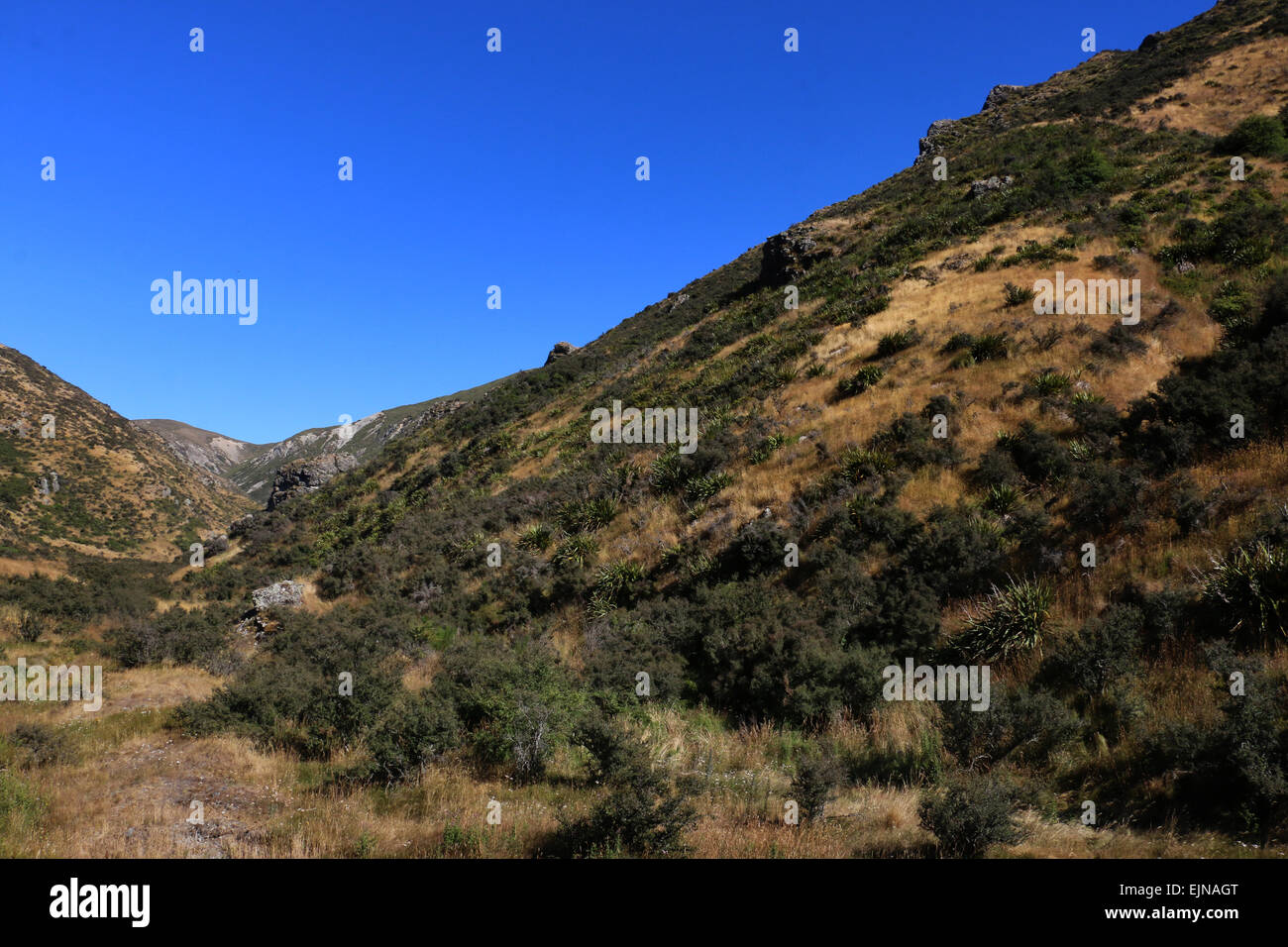 Korowai/Torlesse Tussocklands Park New Zealand in Torlesse and Big Ben ranges, in Canterbury’s high country, Stock Photohttps://www.alamy.com/image-license-details/?v=1https://www.alamy.com/stock-photo-korowaitorlesse-tussocklands-park-new-zealand-in-torlesse-and-big-80374584.html
RFEJNAGT–Korowai/Torlesse Tussocklands Park New Zealand in Torlesse and Big Ben ranges, in Canterbury’s high country,
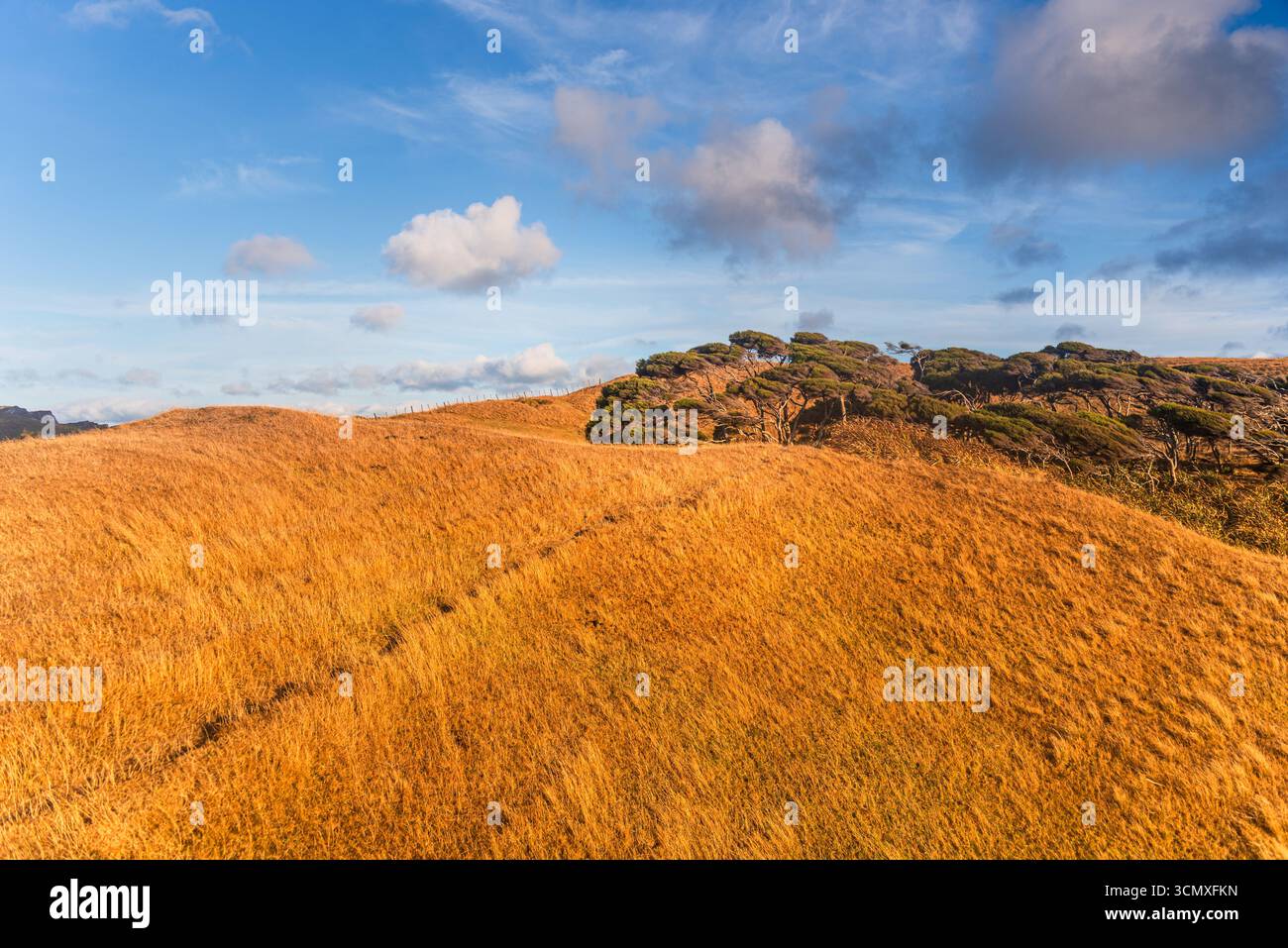 Bright Blue Sky Over Sunlit Golden Tussock Hills and Rugged Outcrop, New Zealand Stock Photohttps://www.alamy.com/image-license-details/?v=1https://www.alamy.com/bright-blue-sky-over-sunlit-golden-tussock-hills-and-rugged-outcrop-new-zealand-image701290905.html
RM3CMXFKN–Bright Blue Sky Over Sunlit Golden Tussock Hills and Rugged Outcrop, New Zealand
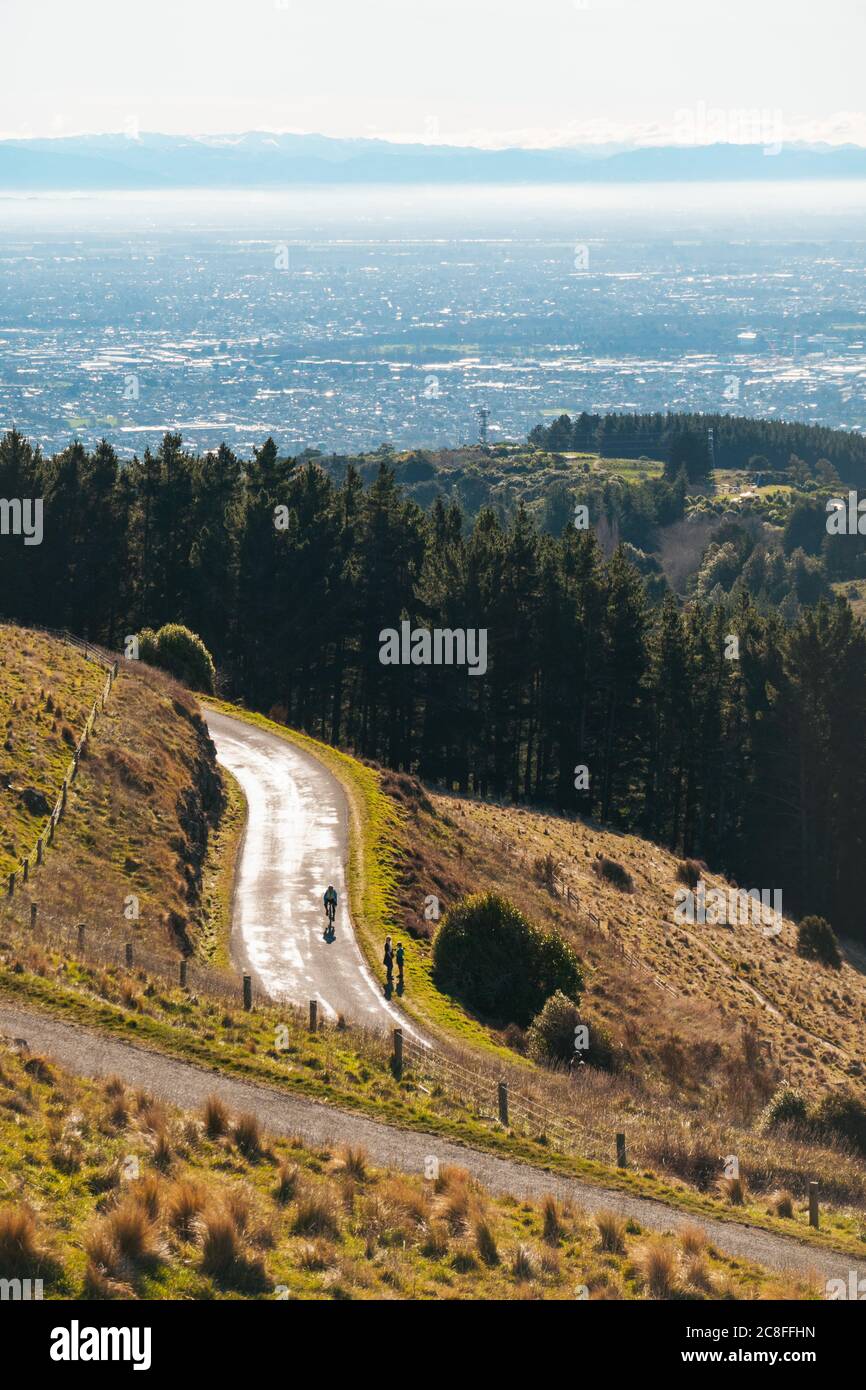 The Summit Road winding along the Port Hills in Christchurch, New Zealand Stock Photohttps://www.alamy.com/image-license-details/?v=1https://www.alamy.com/the-summit-road-winding-along-the-port-hills-in-christchurch-new-zealand-image366676513.html
RM2C8FFHN–The Summit Road winding along the Port Hills in Christchurch, New Zealand
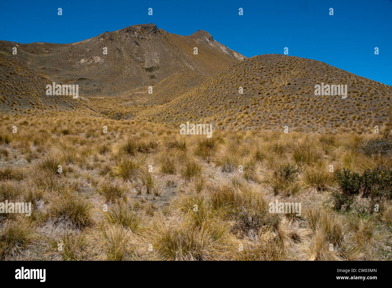 At 971 meters above sea level on Lindis Pass in Central Otago low rainfall creates tussock grasslands in New Zealand. Stock Photohttps://www.alamy.com/image-license-details/?v=1https://www.alamy.com/stock-photo-at-971-meters-above-sea-level-on-lindis-pass-in-central-otago-low-49790069.html
RMCW03MN–At 971 meters above sea level on Lindis Pass in Central Otago low rainfall creates tussock grasslands in New Zealand.
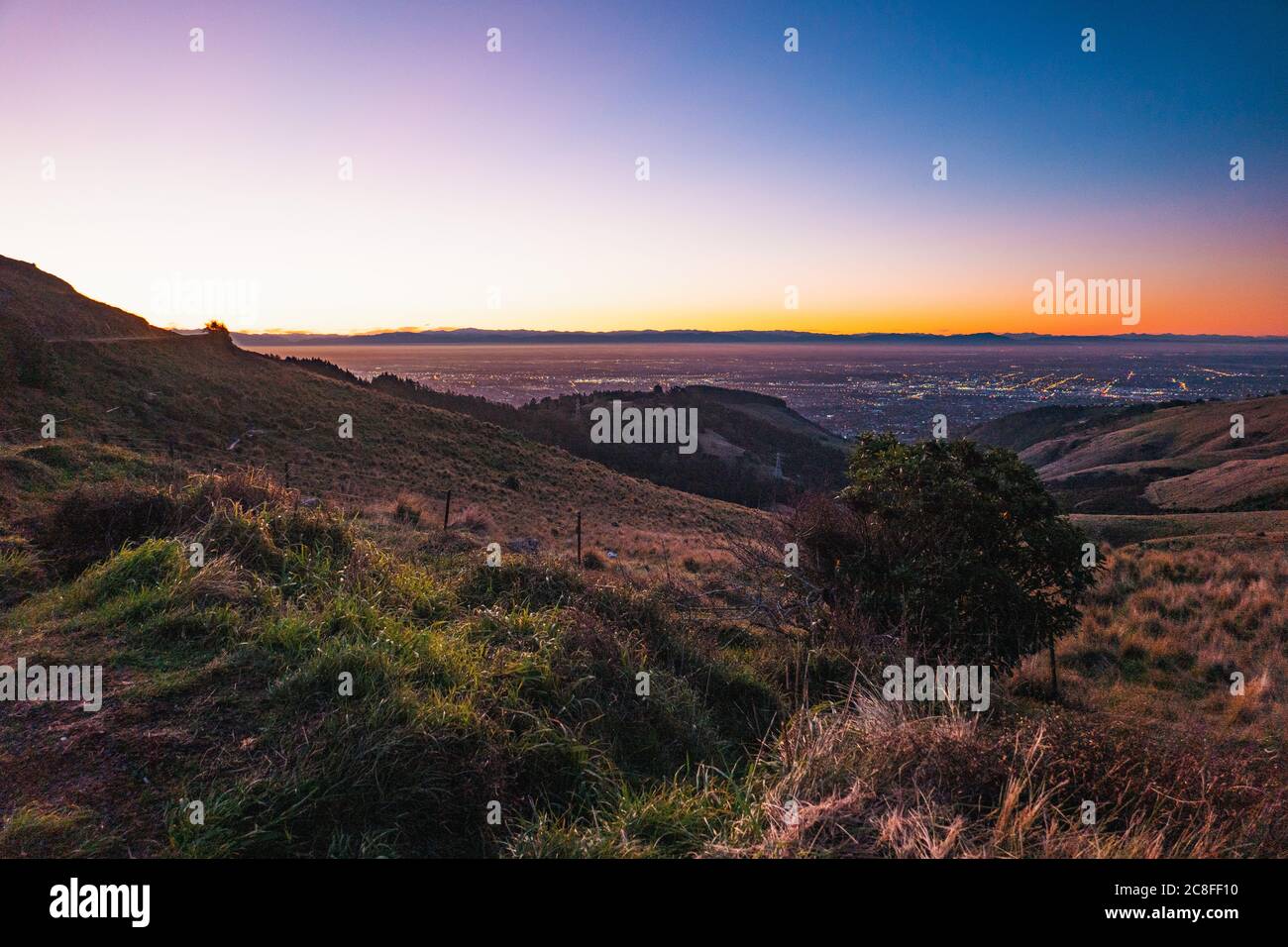 Sunset on a crystal clear evening on the Port Hills, Christchurch, New Zealand Stock Photohttps://www.alamy.com/image-license-details/?v=1https://www.alamy.com/sunset-on-a-crystal-clear-evening-on-the-port-hills-christchurch-new-zealand-image366676044.html
RM2C8FF10–Sunset on a crystal clear evening on the Port Hills, Christchurch, New Zealand
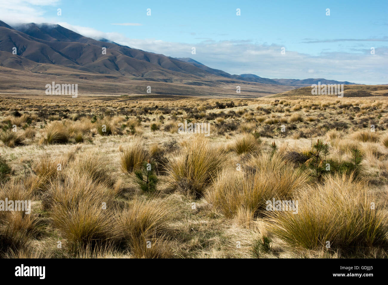 The Oteake Conservation Park protects the northernmost part of Central Otago with its tussock grass lands in a dry climate. Stock Photohttps://www.alamy.com/image-license-details/?v=1https://www.alamy.com/stock-photo-the-oteake-conservation-park-protects-the-northernmost-part-of-central-111662493.html
RMGDJJJ5–The Oteake Conservation Park protects the northernmost part of Central Otago with its tussock grass lands in a dry climate.
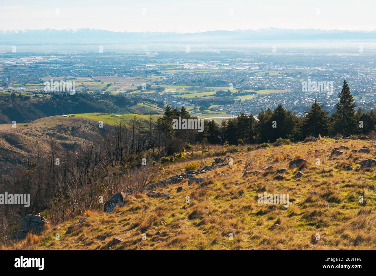 The view over the city of Christchurch as seen from the Thomson Scenic Reserve, Port Hills, New Zealand Stock Photohttps://www.alamy.com/image-license-details/?v=1https://www.alamy.com/the-view-over-the-city-of-christchurch-as-seen-from-the-thomson-scenic-reserve-port-hills-new-zealand-image366676640.html
RM2C8FFP8–The view over the city of Christchurch as seen from the Thomson Scenic Reserve, Port Hills, New Zealand
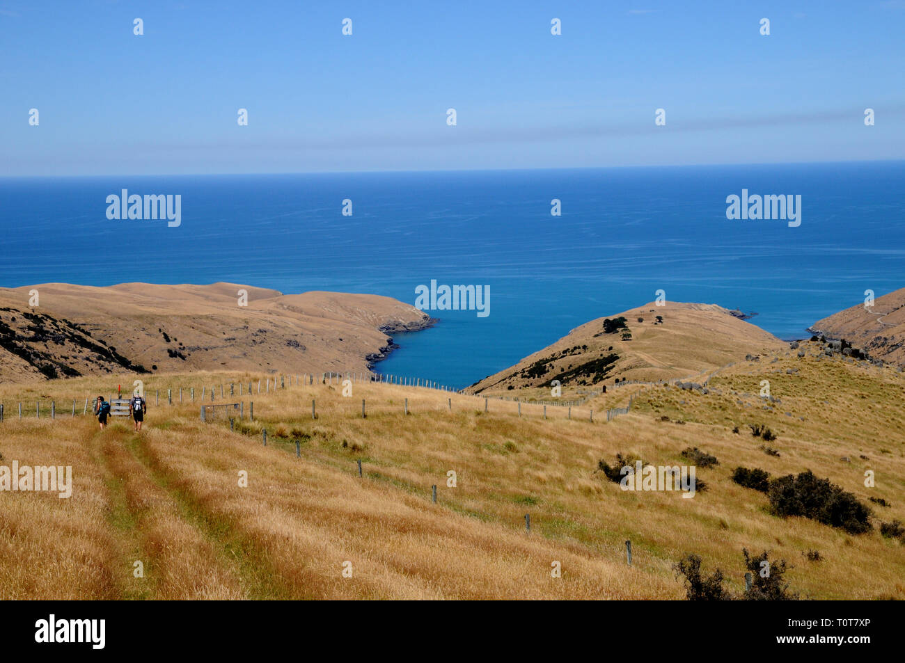 The trail down to Te Oka Bay on the Banks Peninsula on New Zealands South Island, near Christchurch. Stock Photohttps://www.alamy.com/image-license-details/?v=1https://www.alamy.com/the-trail-down-to-te-oka-bay-on-the-banks-peninsula-on-new-zealands-south-island-near-christchurch-image241478238.html
RFT0T7XP–The trail down to Te Oka Bay on the Banks Peninsula on New Zealands South Island, near Christchurch.
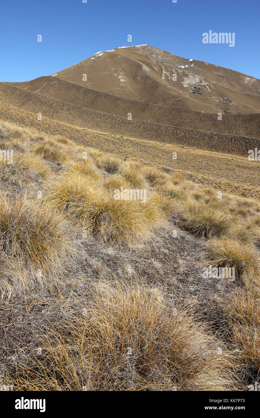 Lindis Pass South Island New Zealand Stock Photohttps://www.alamy.com/image-license-details/?v=1https://www.alamy.com/lindis-pass-south-island-new-zealand-image158752359.html
RFK67P73–Lindis Pass South Island New Zealand
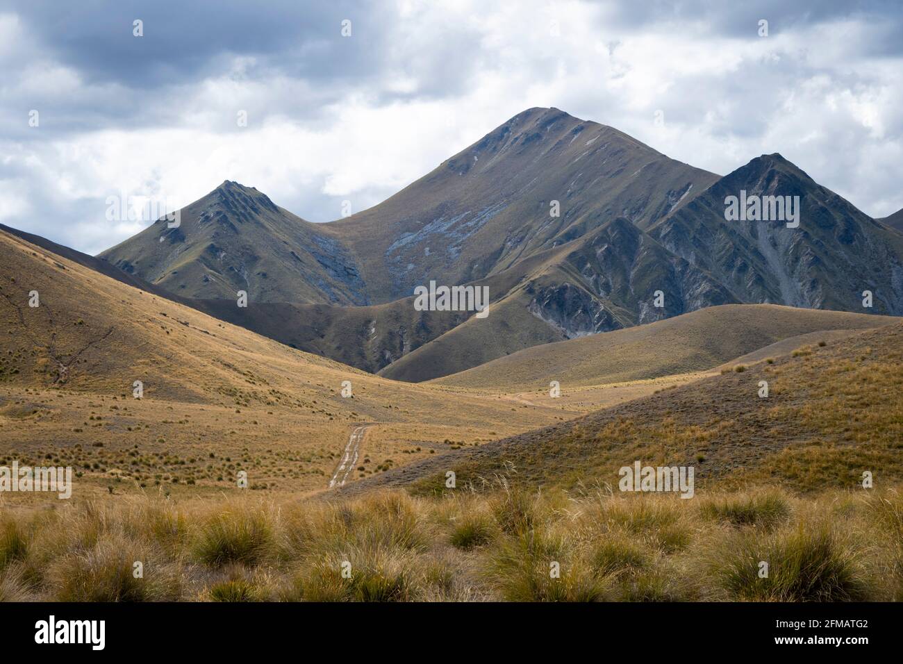 Mountains and tussock, Lindis Pass, near Omarama, Canterbury, South Island, New Zealand Stock Photohttps://www.alamy.com/image-license-details/?v=1https://www.alamy.com/mountains-and-tussock-lindis-pass-near-omarama-canterbury-south-island-new-zealand-image425580738.html
RF2FMATG2–Mountains and tussock, Lindis Pass, near Omarama, Canterbury, South Island, New Zealand
 View of Lake Tekapo, New Zealand, with turquoise blue water and cloud Stock Photohttps://www.alamy.com/image-license-details/?v=1https://www.alamy.com/view-of-lake-tekapo-new-zealand-with-turquoise-blue-water-and-cloud-image260808568.html
RFW48RYM–View of Lake Tekapo, New Zealand, with turquoise blue water and cloud
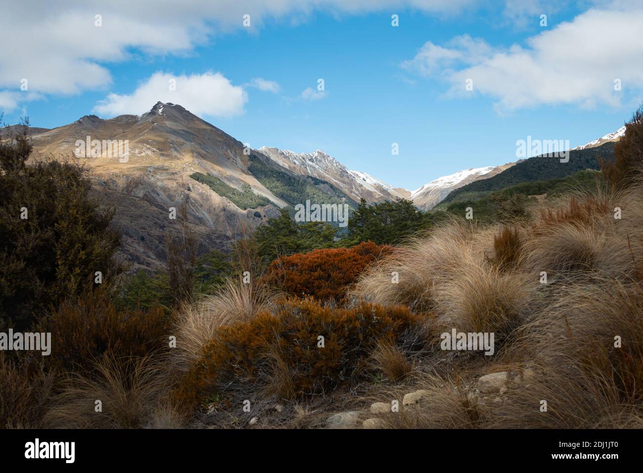 Beautiful view of Bealey Spur Track among tussock grassland in Arthurs Pass National Park, New Zealand Stock Photohttps://www.alamy.com/image-license-details/?v=1https://www.alamy.com/beautiful-view-of-bealey-spur-track-among-tussock-grassland-in-arthurs-pass-national-park-new-zealand-image389728640.html
RF2DJ1JT0–Beautiful view of Bealey Spur Track among tussock grassland in Arthurs Pass National Park, New Zealand
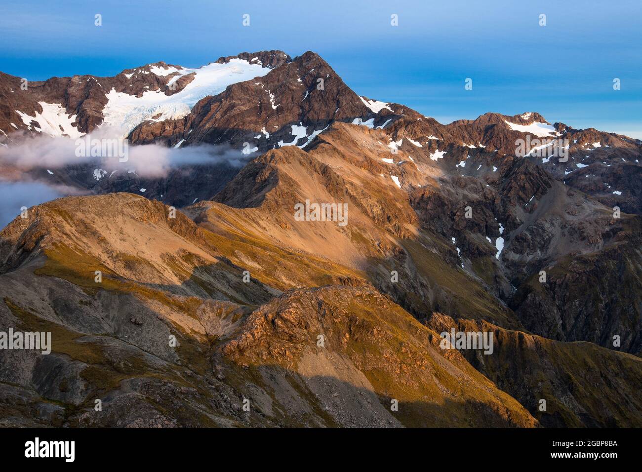 Morning light, Crow Face of Mount Rolleston. Arthur's Pass National Park, New Zealand Stock Photohttps://www.alamy.com/image-license-details/?v=1https://www.alamy.com/morning-light-crow-face-of-mount-rolleston-arthurs-pass-national-park-new-zealand-image437509950.html
RF2GBP8BA–Morning light, Crow Face of Mount Rolleston. Arthur's Pass National Park, New Zealand
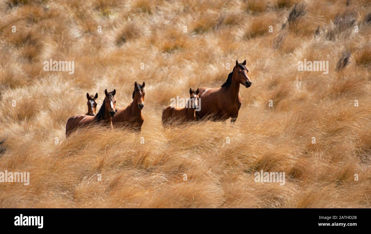 Wild Kaimanawa horses on the golden tussock grassland Stock Photohttps://www.alamy.com/image-license-details/?v=1https://www.alamy.com/wild-kaimanawa-horses-on-the-golden-tussock-grassland-image342132179.html
RF2ATHD2B–Wild Kaimanawa horses on the golden tussock grassland
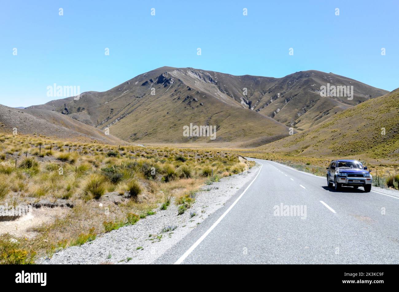 Lindis Pass, a mountainous road (Highway 8) across a barren landscape of tussock grasslands in the Lindis Pass Scenic Reserve in the ecoregion of Sout Stock Photohttps://www.alamy.com/image-license-details/?v=1https://www.alamy.com/lindis-pass-a-mountainous-road-highway-8-across-a-barren-landscape-of-tussock-grasslands-in-the-lindis-pass-scenic-reserve-in-the-ecoregion-of-sout-image484161035.html
RM2K3KC9F–Lindis Pass, a mountainous road (Highway 8) across a barren landscape of tussock grasslands in the Lindis Pass Scenic Reserve in the ecoregion of Sout
 Tussock Grass at Slope Point Stock Photohttps://www.alamy.com/image-license-details/?v=1https://www.alamy.com/stock-photo-tussock-grass-at-slope-point-103279546.html
RMG00P36–Tussock Grass at Slope Point
 Aged photo retro effect of Lindis Pass landscape and tussock covered hills in South Island, New Zealand Stock Photohttps://www.alamy.com/image-license-details/?v=1https://www.alamy.com/aged-photo-retro-effect-of-lindis-pass-landscape-and-tussock-covered-hills-in-south-island-new-zealand-image234479876.html
RFRHDDD8–Aged photo retro effect of Lindis Pass landscape and tussock covered hills in South Island, New Zealand
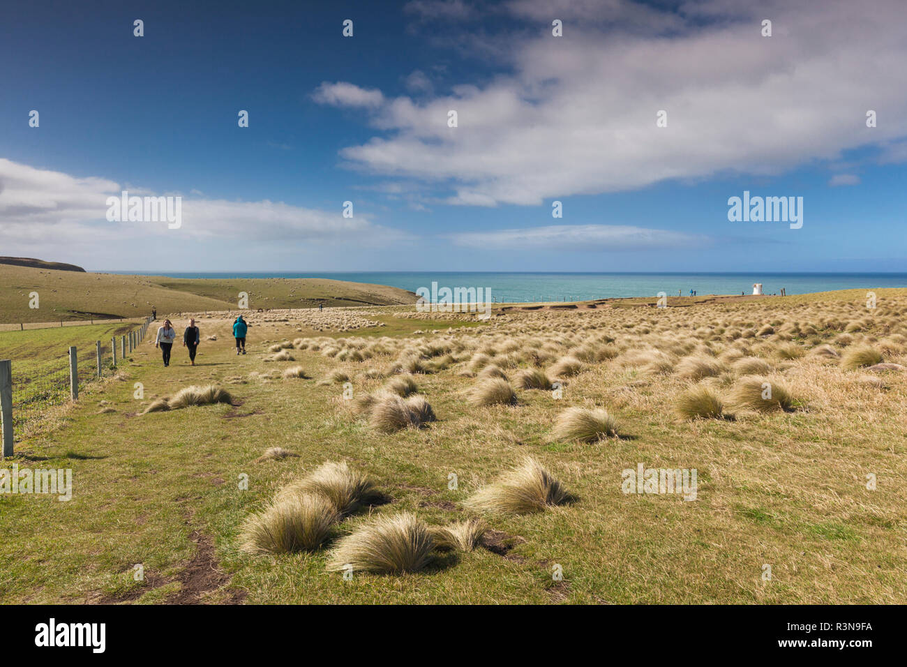 New Zealand, South Island, Southland, The Catlins, Slope Point, Southern-most point of the South Island of New Zealand, tussock landscape Stock Photohttps://www.alamy.com/image-license-details/?v=1https://www.alamy.com/new-zealand-south-island-southland-the-catlins-slope-point-southern-most-point-of-the-south-island-of-new-zealand-tussock-landscape-image226047230.html
RMR3N9FA–New Zealand, South Island, Southland, The Catlins, Slope Point, Southern-most point of the South Island of New Zealand, tussock landscape
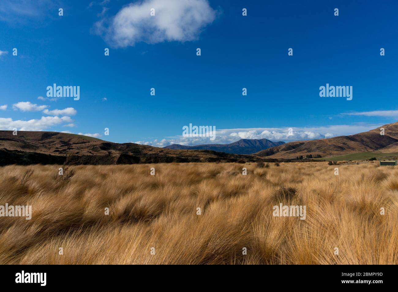 Tussock grasslands or tussock herbfields of New Zealand. Native grassland landscape with Chionochloa plant Stock Photohttps://www.alamy.com/image-license-details/?v=1https://www.alamy.com/tussock-grasslands-or-tussock-herbfields-of-new-zealand-native-grassland-landscape-with-chionochloa-plant-image357004857.html
RF2BMPY9D–Tussock grasslands or tussock herbfields of New Zealand. Native grassland landscape with Chionochloa plant
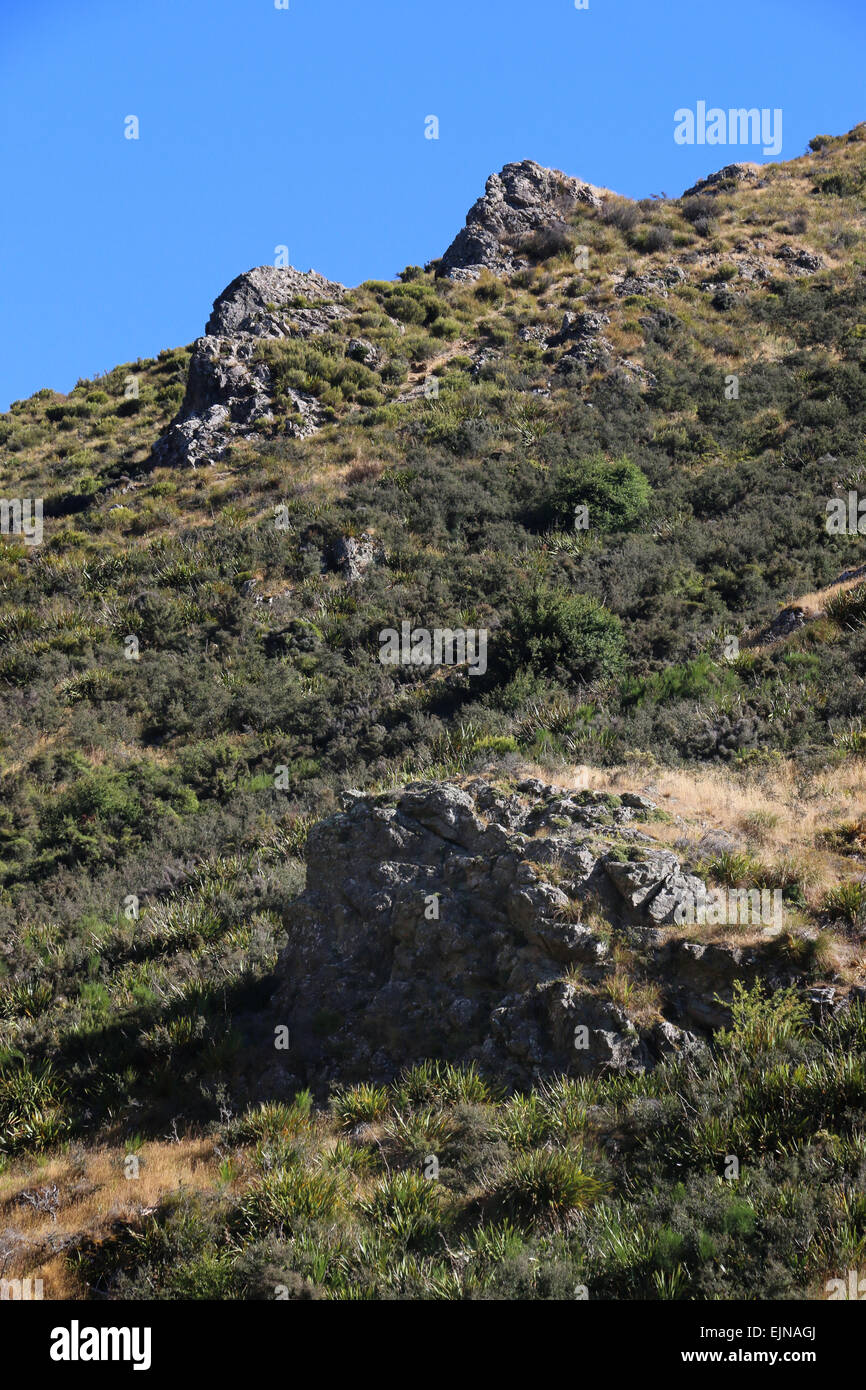 Korowai/Torlesse Tussocklands Park New Zealand in Torlesse and Big Ben ranges, in Canterbury’s high country, Stock Photohttps://www.alamy.com/image-license-details/?v=1https://www.alamy.com/stock-photo-korowaitorlesse-tussocklands-park-new-zealand-in-torlesse-and-big-80374578.html
RFEJNAGJ–Korowai/Torlesse Tussocklands Park New Zealand in Torlesse and Big Ben ranges, in Canterbury’s high country,
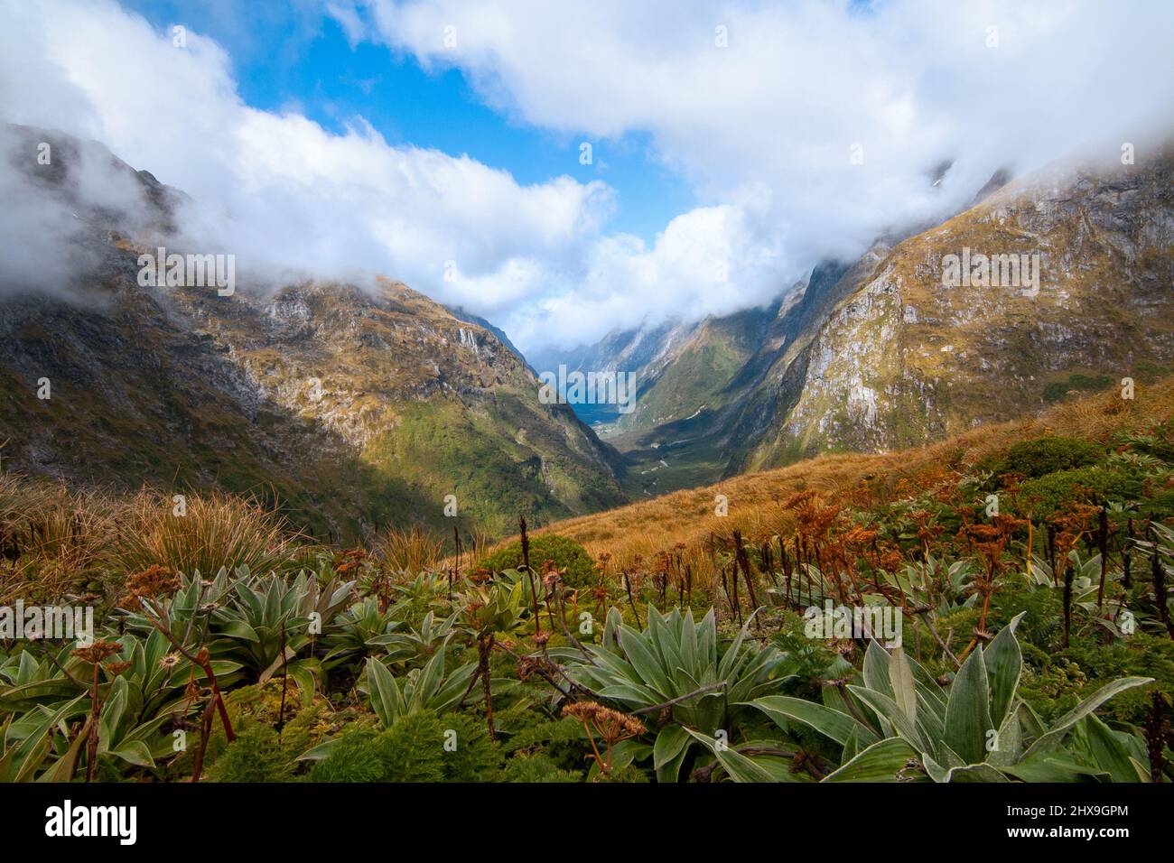 Fiordland plants native alpine grassland and mountain flora with view of Clinton Valley South Island New Zealand Stock Photohttps://www.alamy.com/image-license-details/?v=1https://www.alamy.com/fiordland-plants-native-alpine-grassland-and-mountain-flora-with-view-of-clinton-valley-south-island-new-zealand-image463661372.html
RF2HX9GPM–Fiordland plants native alpine grassland and mountain flora with view of Clinton Valley South Island New Zealand
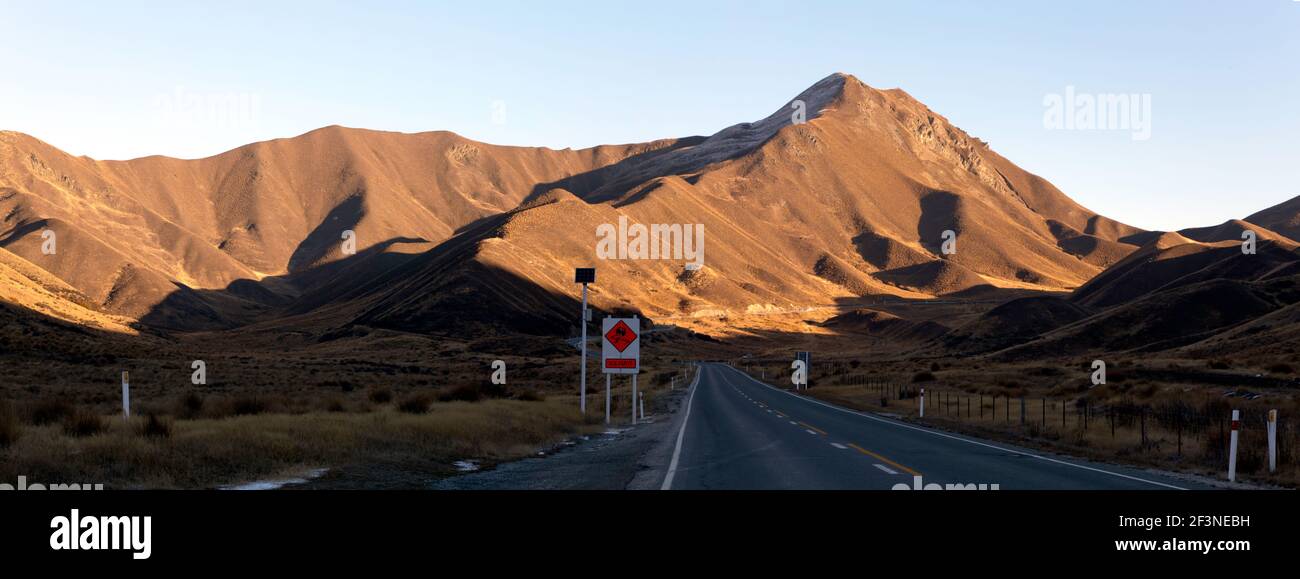 Panoramic evening view of the Lindis Pass, South Island, New Zealand Stock Photohttps://www.alamy.com/image-license-details/?v=1https://www.alamy.com/panoramic-evening-view-of-the-lindis-pass-south-island-new-zealand-image415365093.html
RM2F3NEBH–Panoramic evening view of the Lindis Pass, South Island, New Zealand
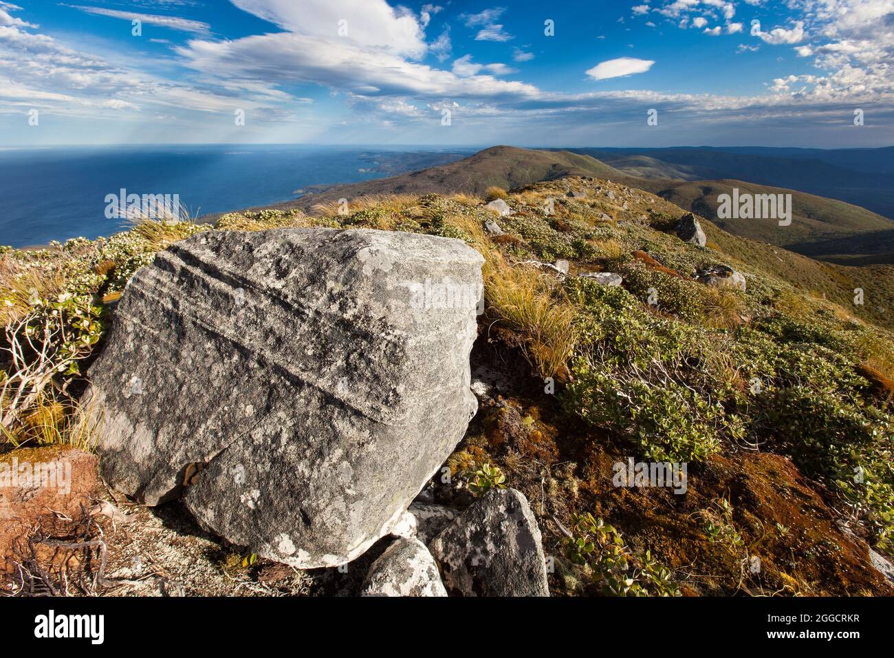 Granite block on the summit of Mt Anglem Hananui. Stewart Island Rakiura Stock Photohttps://www.alamy.com/image-license-details/?v=1https://www.alamy.com/granite-block-on-the-summit-of-mt-anglem-hananui-stewart-island-rakiura-image440375707.html
RF2GGCRKR–Granite block on the summit of Mt Anglem Hananui. Stewart Island Rakiura
 Road stretching out into the distance at Lindis Pass in New Zealand Stock Photohttps://www.alamy.com/image-license-details/?v=1https://www.alamy.com/stock-photo-road-stretching-out-into-the-distance-at-lindis-pass-in-new-zealand-79448837.html
RFEH75PD–Road stretching out into the distance at Lindis Pass in New Zealand
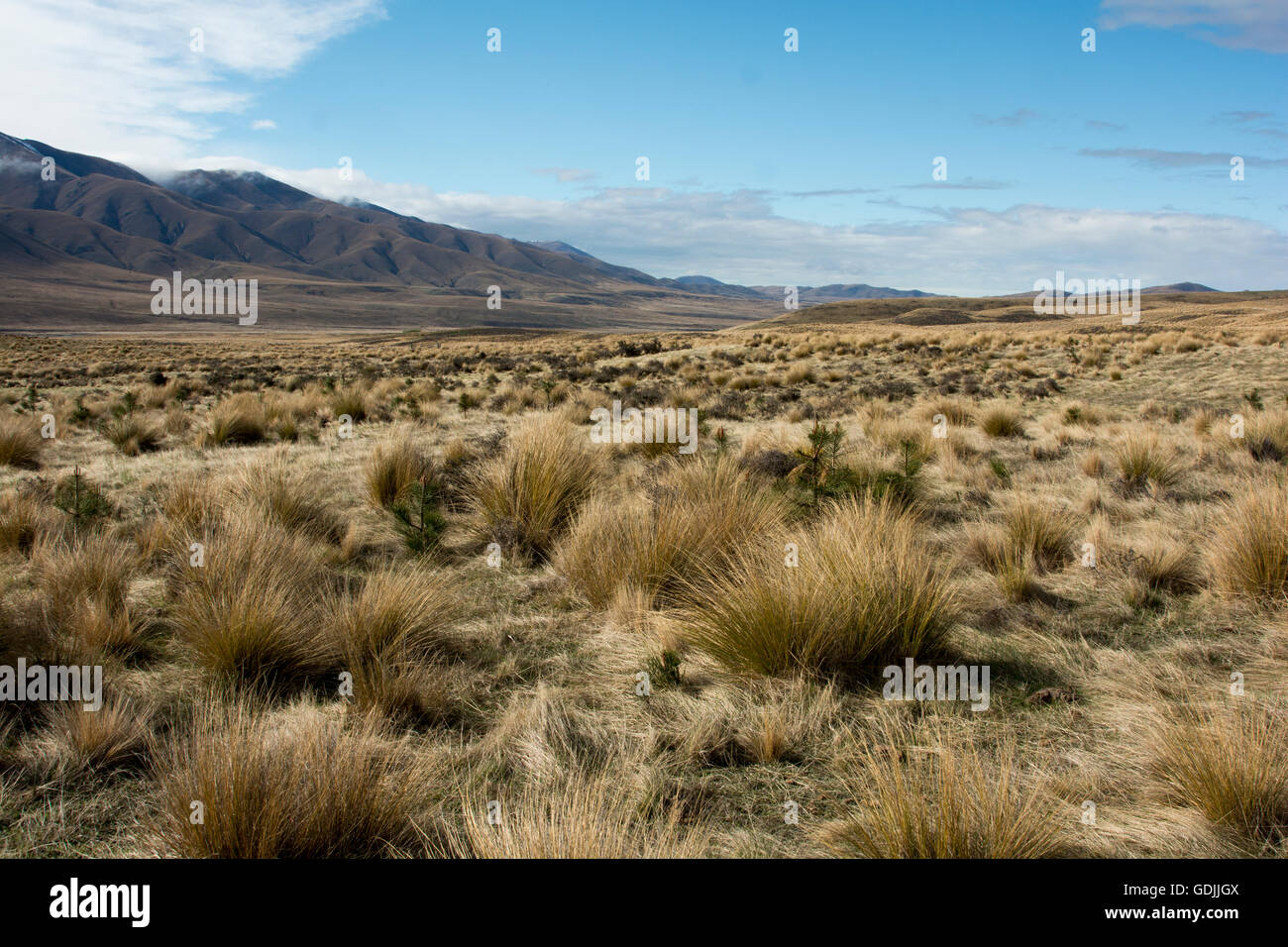 The Oteake Conservation Park protects the northernmost part of Central Otago with its tussock grass lands in a dry climate. Stock Photohttps://www.alamy.com/image-license-details/?v=1https://www.alamy.com/stock-photo-the-oteake-conservation-park-protects-the-northernmost-part-of-central-111662458.html
RMGDJJGX–The Oteake Conservation Park protects the northernmost part of Central Otago with its tussock grass lands in a dry climate.
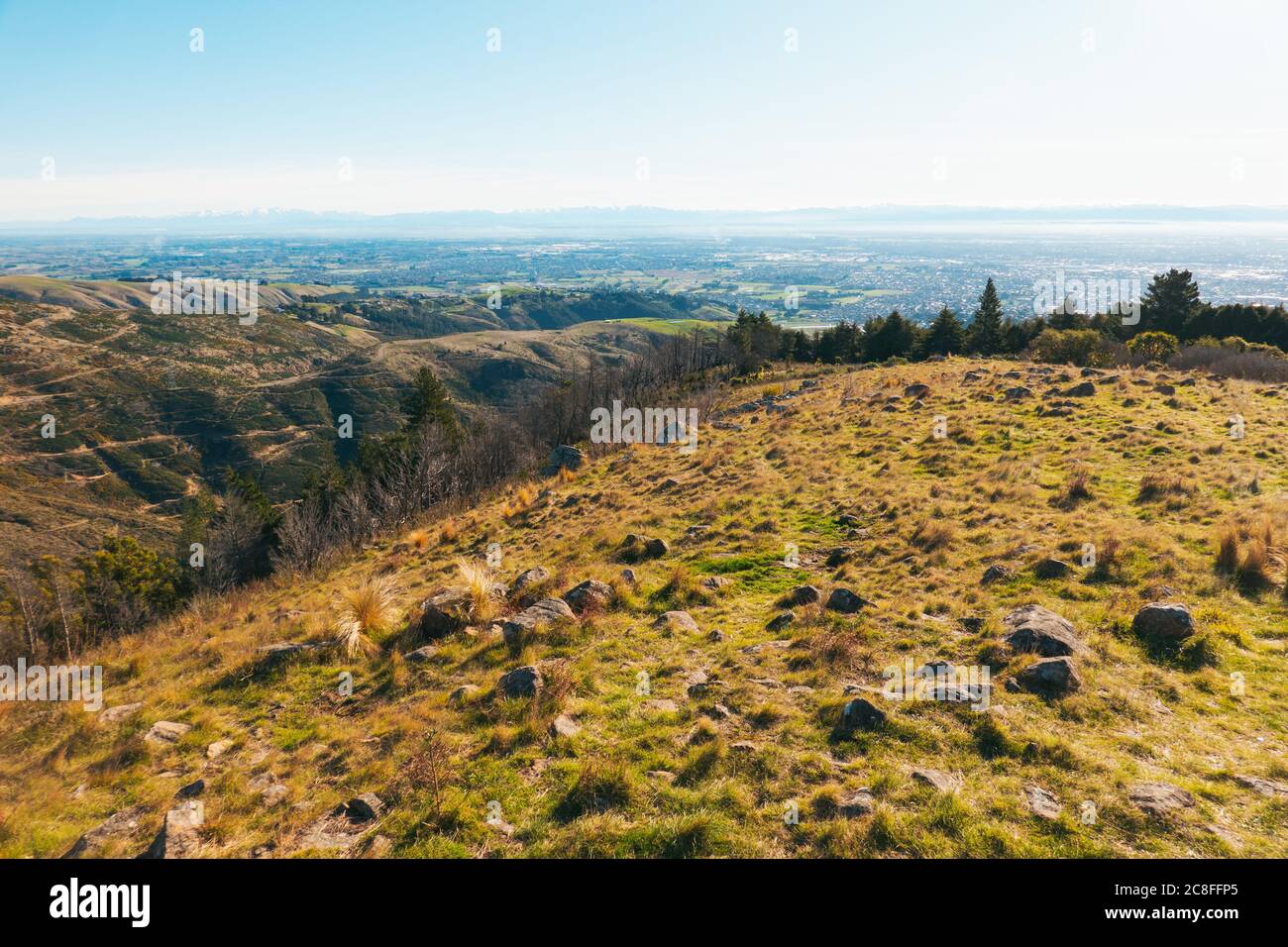 The view over the city of Christchurch as seen from the Thomson Scenic Reserve, Port Hills, New Zealand Stock Photohttps://www.alamy.com/image-license-details/?v=1https://www.alamy.com/the-view-over-the-city-of-christchurch-as-seen-from-the-thomson-scenic-reserve-port-hills-new-zealand-image366676637.html
RM2C8FFP5–The view over the city of Christchurch as seen from the Thomson Scenic Reserve, Port Hills, New Zealand
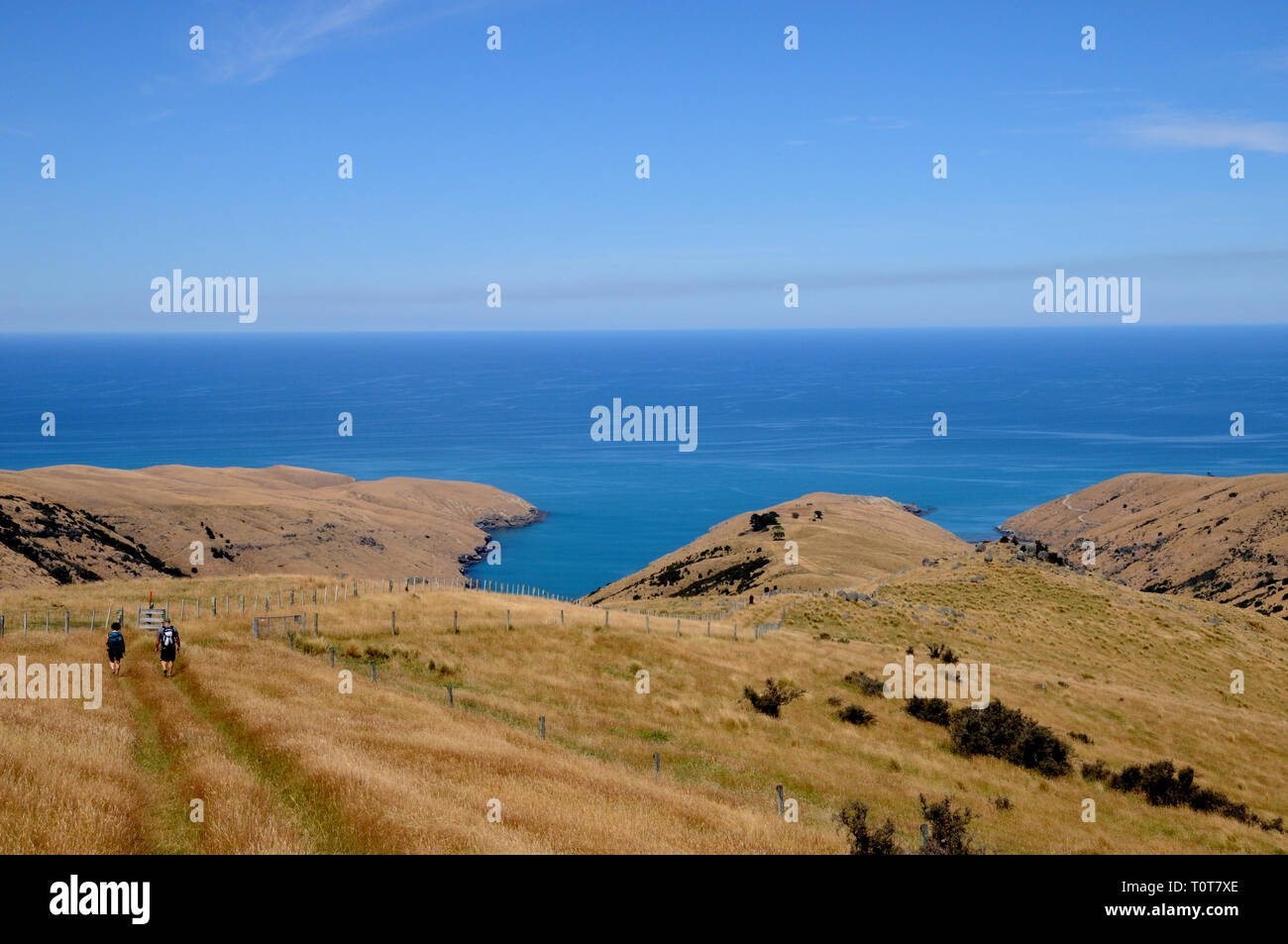 The trail down to Te Oka Bay on the Banks Peninsula on New Zealands South Island, near Christchurch. Stock Photohttps://www.alamy.com/image-license-details/?v=1https://www.alamy.com/the-trail-down-to-te-oka-bay-on-the-banks-peninsula-on-new-zealands-south-island-near-christchurch-image241478230.html
RFT0T7XE–The trail down to Te Oka Bay on the Banks Peninsula on New Zealands South Island, near Christchurch.
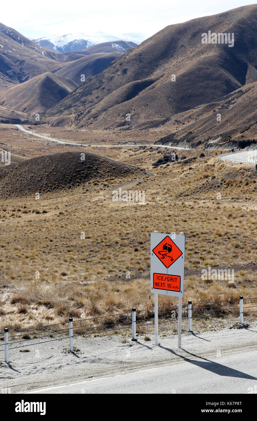 Lindis Pass South Island New Zealand Stock Photohttps://www.alamy.com/image-license-details/?v=1https://www.alamy.com/lindis-pass-south-island-new-zealand-image158752408.html
RFK67P8T–Lindis Pass South Island New Zealand
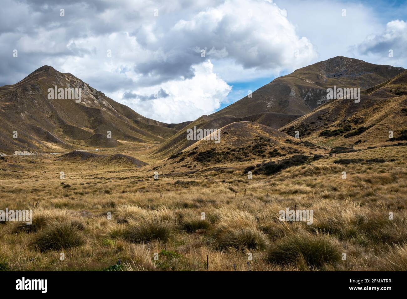 Mountains and tussock, Lindis Pass, near Omarama, Canterbury, South Island, New Zealand Stock Photohttps://www.alamy.com/image-license-details/?v=1https://www.alamy.com/mountains-and-tussock-lindis-pass-near-omarama-canterbury-south-island-new-zealand-image425580955.html
RF2FMATRR–Mountains and tussock, Lindis Pass, near Omarama, Canterbury, South Island, New Zealand
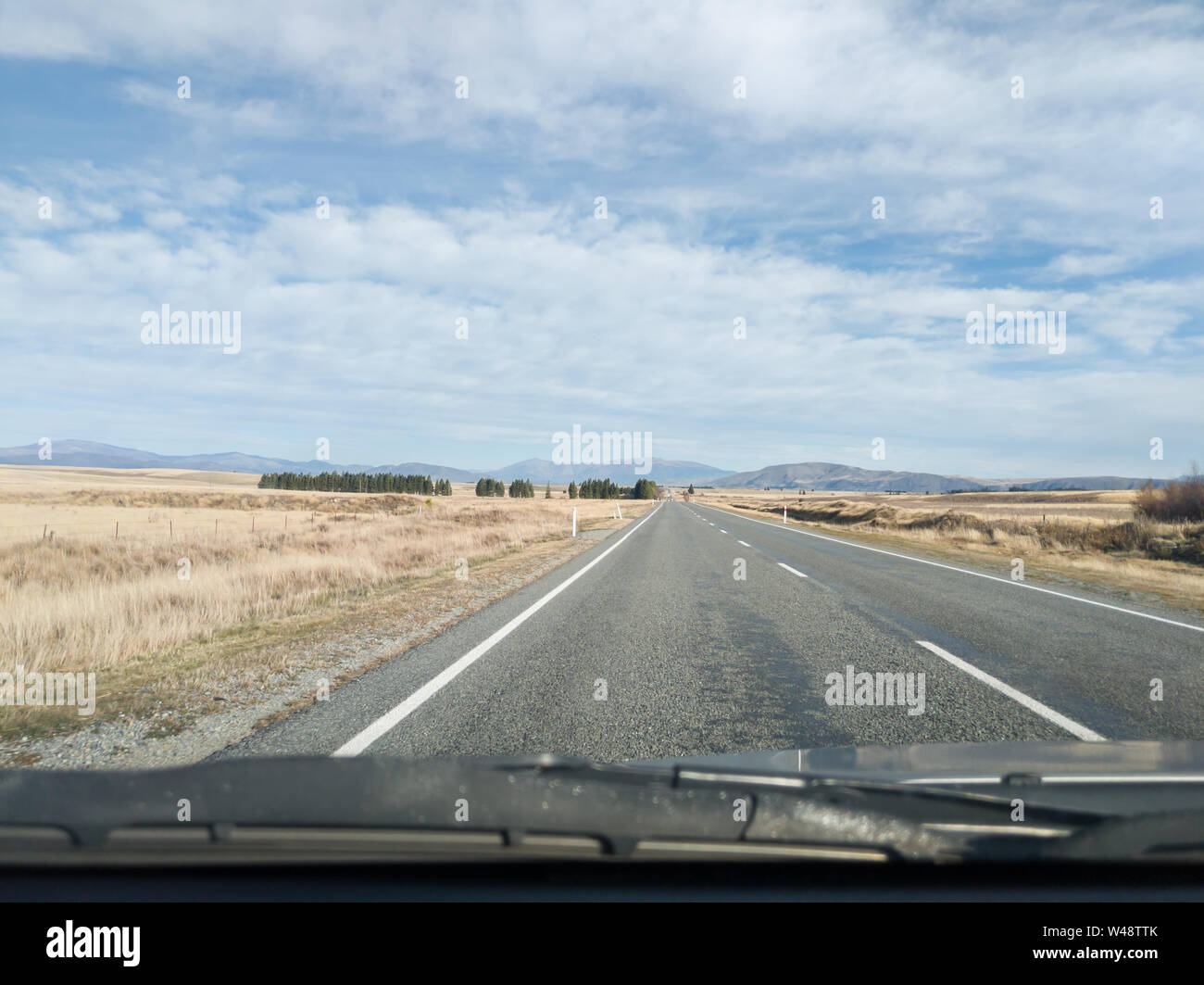 View from the car, Southern Alps mountain range on the road in New Zealand Stock Photohttps://www.alamy.com/image-license-details/?v=1https://www.alamy.com/view-from-the-car-southern-alps-mountain-range-on-the-road-in-new-zealand-image260809267.html
RFW48TTK–View from the car, Southern Alps mountain range on the road in New Zealand
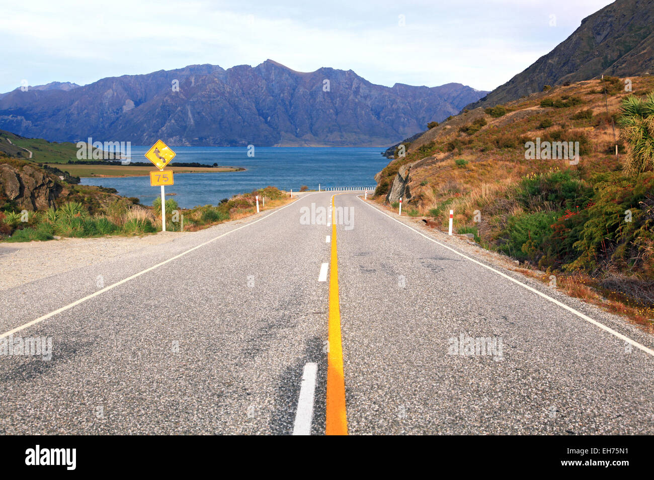 Perspective of Highway Road Freeway stretching to Lake Hawea in Wanaka New Zealand Stock Photohttps://www.alamy.com/image-license-details/?v=1https://www.alamy.com/stock-photo-perspective-of-highway-road-freeway-stretching-to-lake-hawea-in-wanaka-79448797.html
RFEH75N1–Perspective of Highway Road Freeway stretching to Lake Hawea in Wanaka New Zealand
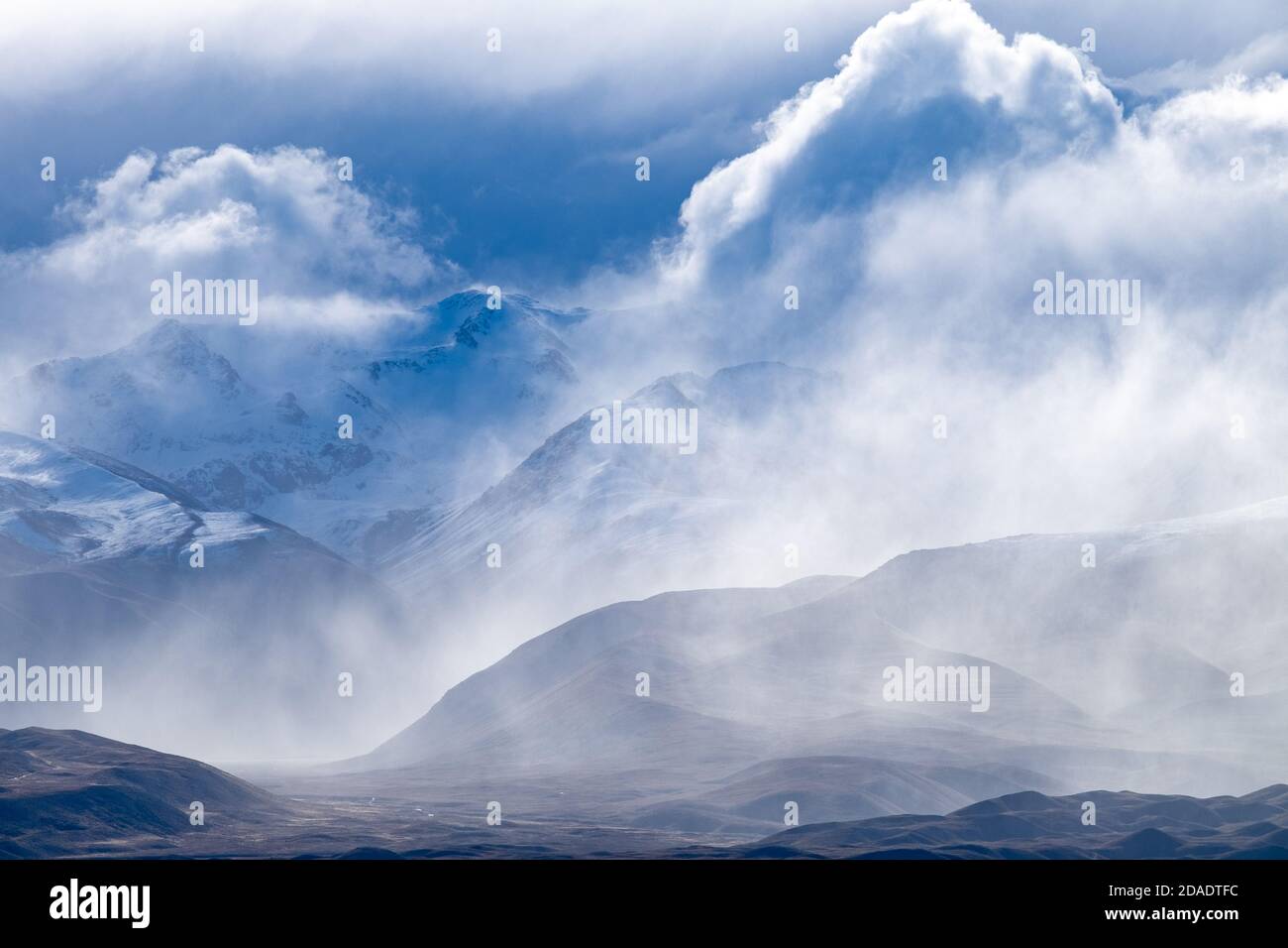 Storm clouds roll in over Mount Joseph, part of the Southern Alps near Tekapo, South Island of New Zealand. Stock Photohttps://www.alamy.com/image-license-details/?v=1https://www.alamy.com/storm-clouds-roll-in-over-mount-joseph-part-of-the-southern-alps-near-tekapo-south-island-of-new-zealand-image385079280.html
RM2DADTFC–Storm clouds roll in over Mount Joseph, part of the Southern Alps near Tekapo, South Island of New Zealand.
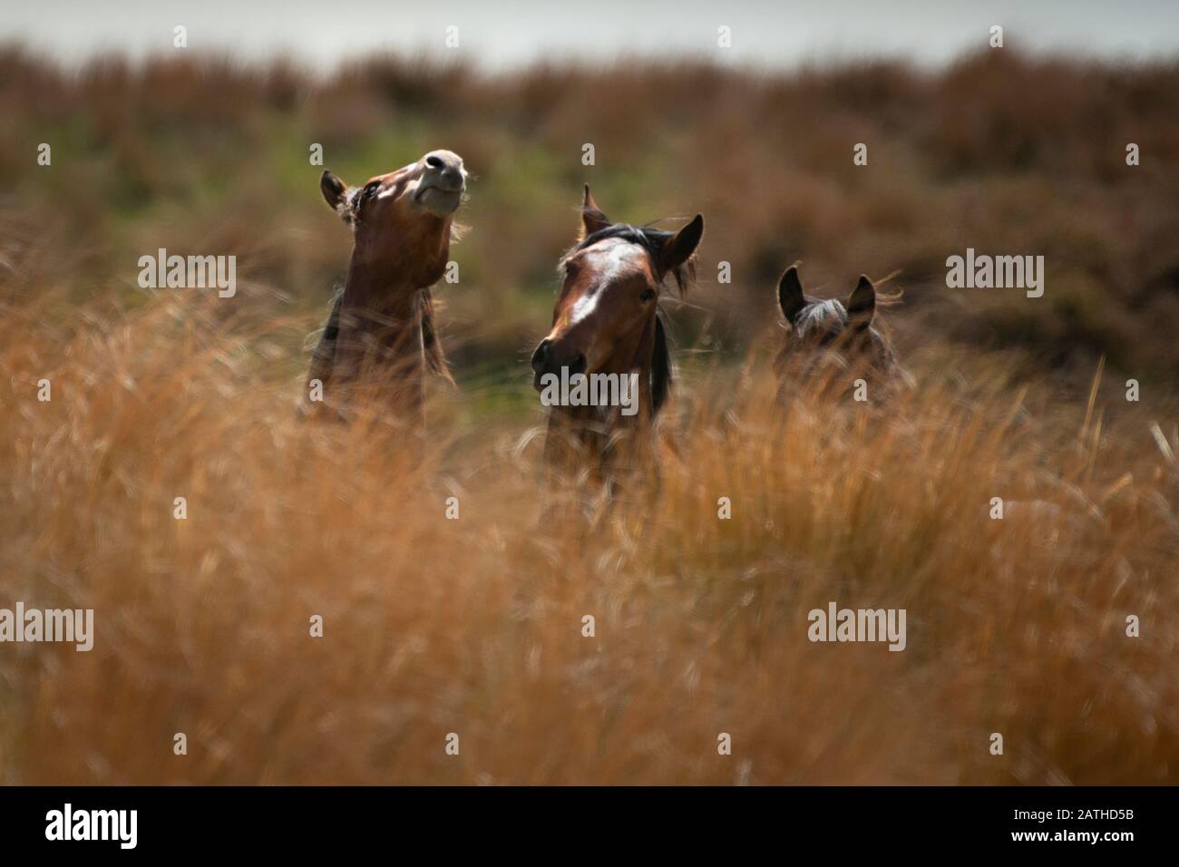 Kaimanawa wild horses amongst tall red tussock grassland Stock Photohttps://www.alamy.com/image-license-details/?v=1https://www.alamy.com/kaimanawa-wild-horses-amongst-tall-red-tussock-grassland-image342132263.html
RF2ATHD5B–Kaimanawa wild horses amongst tall red tussock grassland
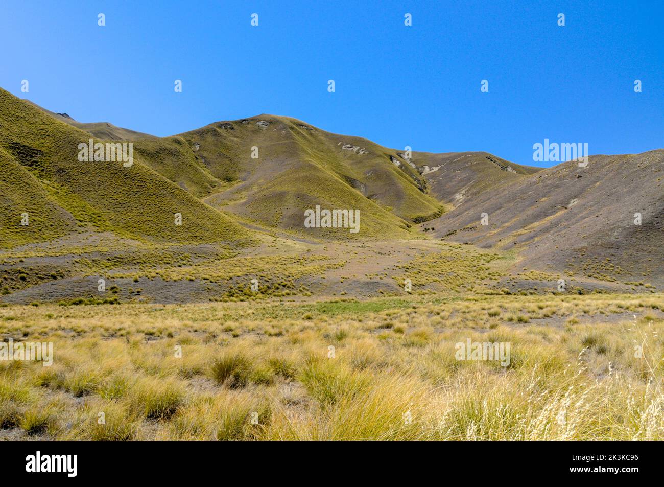 Lindis Pass, a mountainous road (Highway 8) across a barren landscape of tussock grasslands in the Lindis Pass Scenic Reserve in the ecoregion of Sout Stock Photohttps://www.alamy.com/image-license-details/?v=1https://www.alamy.com/lindis-pass-a-mountainous-road-highway-8-across-a-barren-landscape-of-tussock-grasslands-in-the-lindis-pass-scenic-reserve-in-the-ecoregion-of-sout-image484161026.html
RM2K3KC96–Lindis Pass, a mountainous road (Highway 8) across a barren landscape of tussock grasslands in the Lindis Pass Scenic Reserve in the ecoregion of Sout
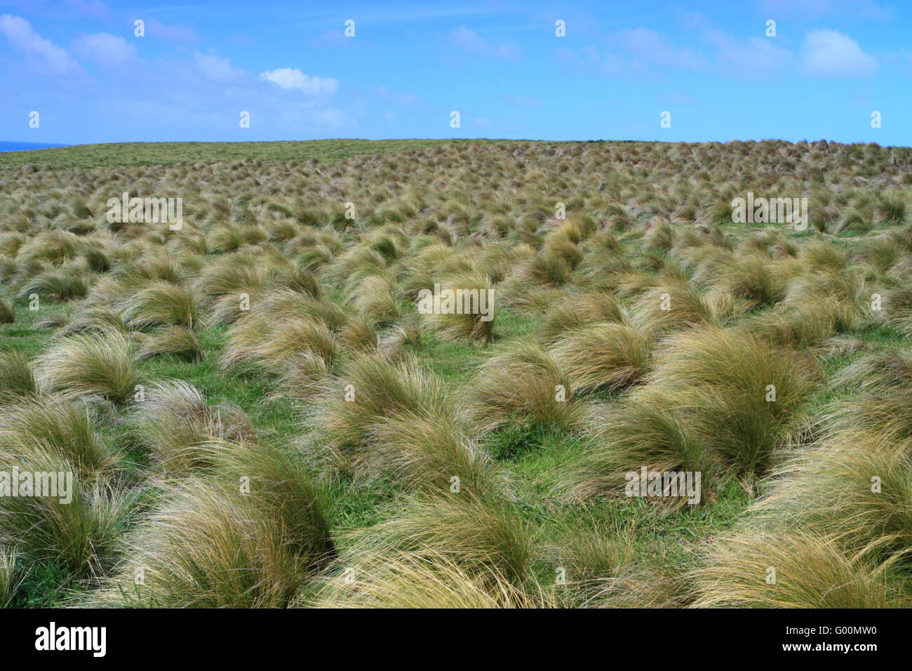 Tussock Grass at Slope Point Stock Photohttps://www.alamy.com/image-license-details/?v=1https://www.alamy.com/stock-photo-tussock-grass-at-slope-point-103278588.html
RMG00MW0–Tussock Grass at Slope Point
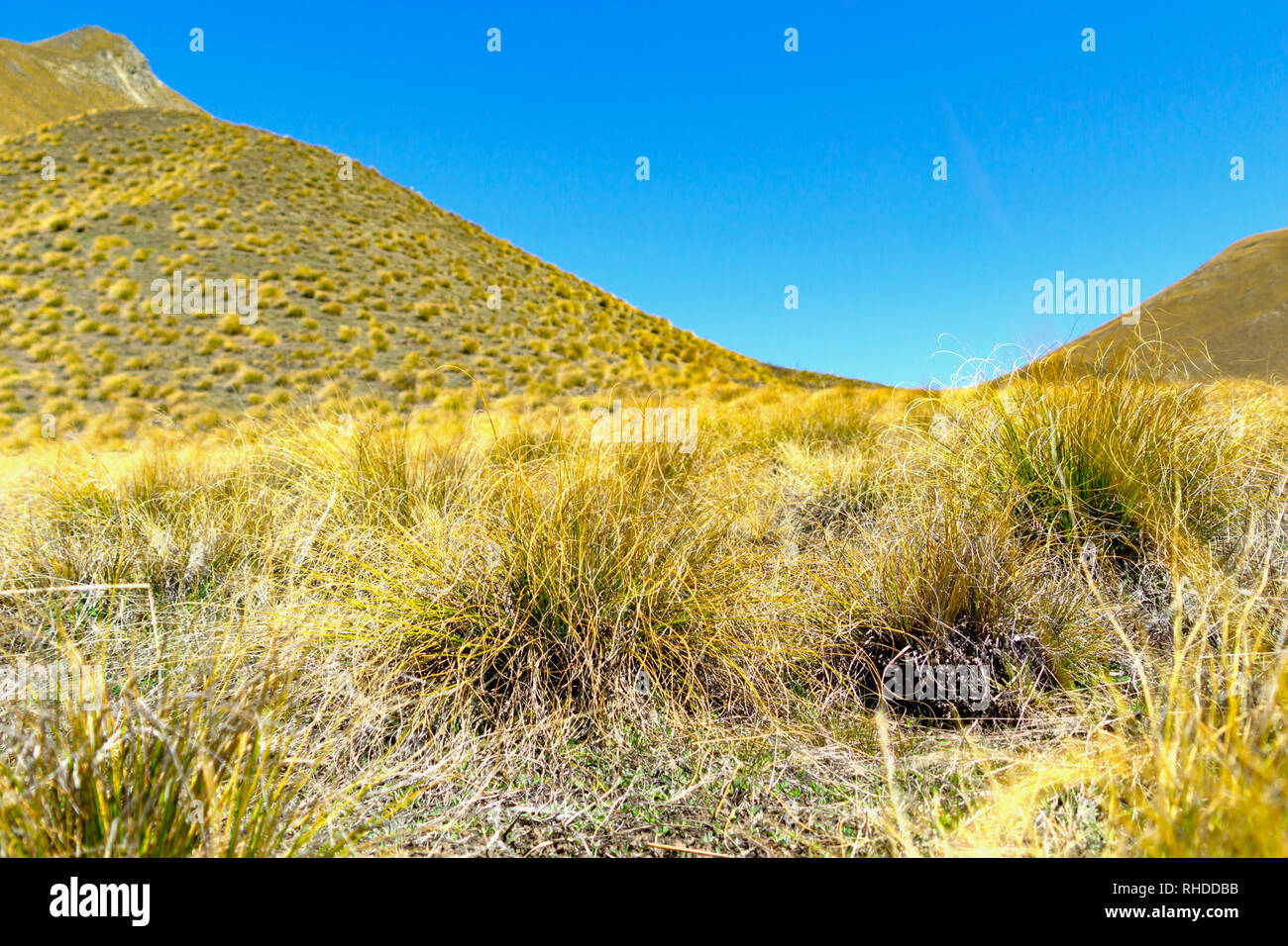 Lindis Pass landscape tussock covered hills Stock Photohttps://www.alamy.com/image-license-details/?v=1https://www.alamy.com/lindis-pass-landscape-tussock-covered-hills-image234479823.html
RFRHDDBB–Lindis Pass landscape tussock covered hills
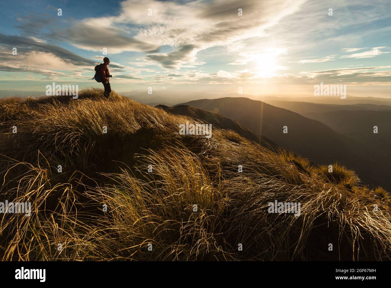 Female hiker standing on a ridge top at sunset, Southern Crossing, Tararua Forest Park Stock Photohttps://www.alamy.com/image-license-details/?v=1https://www.alamy.com/female-hiker-standing-on-a-ridge-top-at-sunset-southern-crossing-tararua-forest-park-image439616817.html
RF2GF67MH–Female hiker standing on a ridge top at sunset, Southern Crossing, Tararua Forest Park
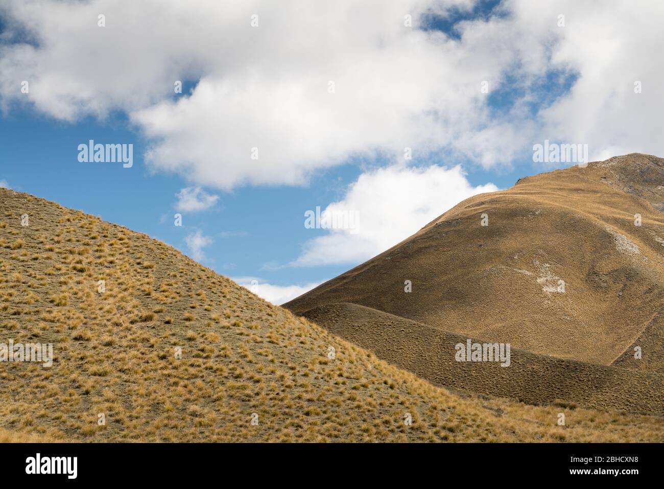 Cropped in abstract view of monchrome treeless brown undulating hills with white cloud and blue sky above Stock Photohttps://www.alamy.com/image-license-details/?v=1https://www.alamy.com/cropped-in-abstract-view-of-monchrome-treeless-brown-undulating-hills-with-white-cloud-and-blue-sky-above-image354940916.html
RF2BHCXN8–Cropped in abstract view of monchrome treeless brown undulating hills with white cloud and blue sky above
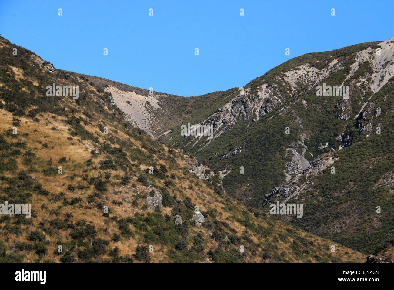 Korowai/Torlesse Tussocklands Park New Zealand in Torlesse and Big Ben ranges, in Canterbury’s high country, Stock Photohttps://www.alamy.com/image-license-details/?v=1https://www.alamy.com/stock-photo-korowaitorlesse-tussocklands-park-new-zealand-in-torlesse-and-big-80374581.html
RFEJNAGN–Korowai/Torlesse Tussocklands Park New Zealand in Torlesse and Big Ben ranges, in Canterbury’s high country,
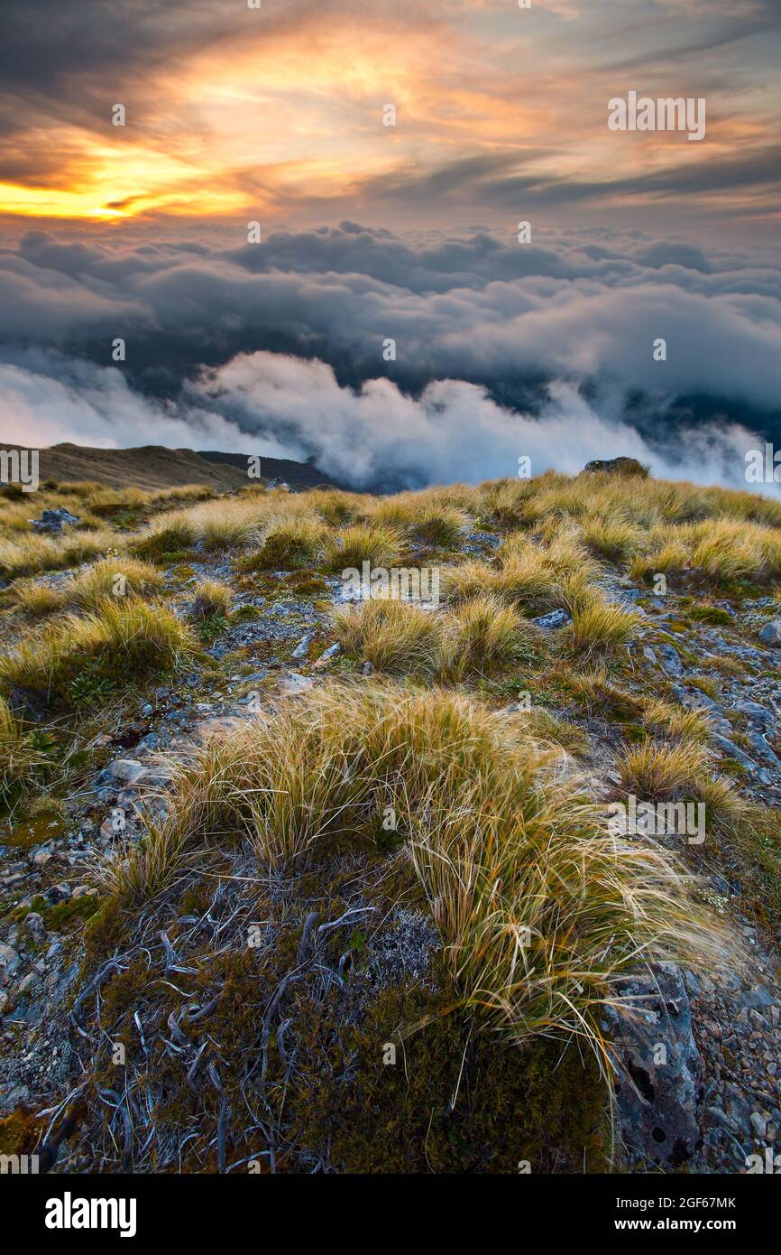 Windswept tussocks on Field Peak at sunset, Tararua Forest Park Stock Photohttps://www.alamy.com/image-license-details/?v=1https://www.alamy.com/windswept-tussocks-on-field-peak-at-sunset-tararua-forest-park-image439616819.html
RF2GF67MK–Windswept tussocks on Field Peak at sunset, Tararua Forest Park
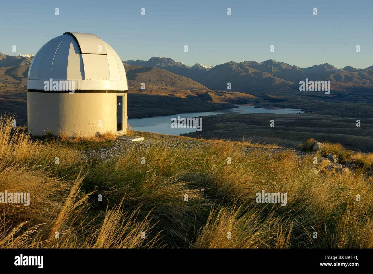 Mt John Observatory at Sunrise, Lake Tekapo / New Zealand Stock Photohttps://www.alamy.com/image-license-details/?v=1https://www.alamy.com/stock-photo-mt-john-observatory-at-sunrise-lake-tekapo-new-zealand-23282494.html
RMB9TH1J–Mt John Observatory at Sunrise, Lake Tekapo / New Zealand
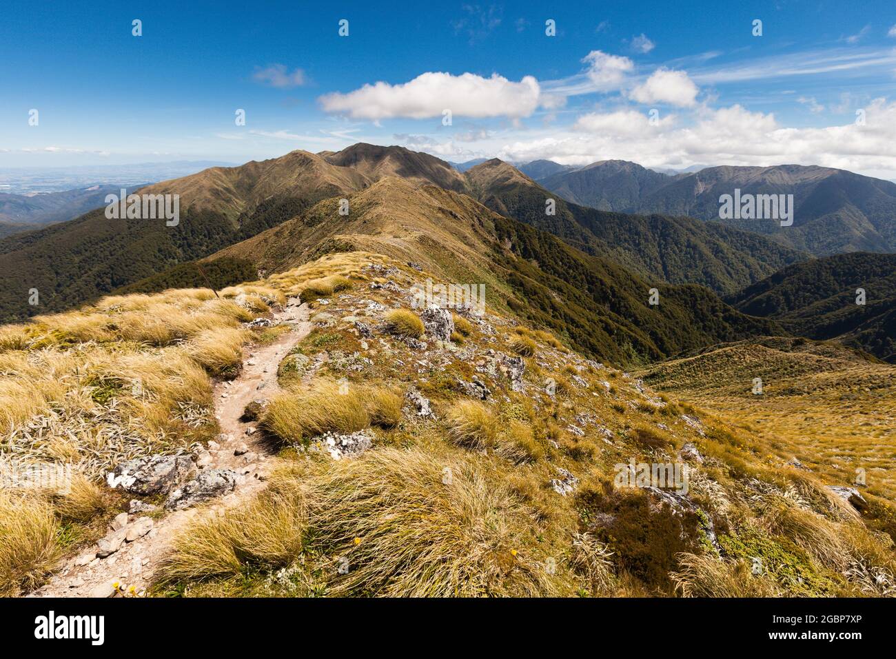 Ridge between Jumbo and Mount Holdsworth, Holdsworth Jumbo Circuit, Tararua Range Stock Photohttps://www.alamy.com/image-license-details/?v=1https://www.alamy.com/ridge-between-jumbo-and-mount-holdsworth-holdsworth-jumbo-circuit-tararua-range-image437509598.html
RF2GBP7XP–Ridge between Jumbo and Mount Holdsworth, Holdsworth Jumbo Circuit, Tararua Range
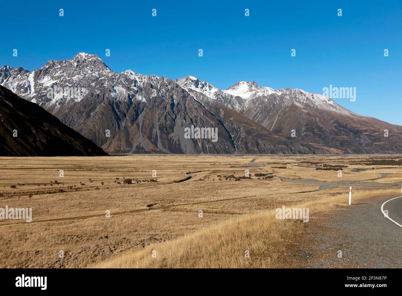 View inside the Aoraki/Mount Cook National Park, from State Highway 80, close to Mount Cook Village Stock Photohttps://www.alamy.com/image-license-details/?v=1https://www.alamy.com/view-inside-the-aorakimount-cook-national-park-from-state-highway-80-close-to-mount-cook-village-image415360282.html
RM2F3N87P–View inside the Aoraki/Mount Cook National Park, from State Highway 80, close to Mount Cook Village
 The Oteake Conservation Park protects the northernmost part of Central Otago with its tussock grass lands in a dry climate. Stock Photohttps://www.alamy.com/image-license-details/?v=1https://www.alamy.com/stock-photo-the-oteake-conservation-park-protects-the-northernmost-part-of-central-111662426.html
RMGDJJFP–The Oteake Conservation Park protects the northernmost part of Central Otago with its tussock grass lands in a dry climate.
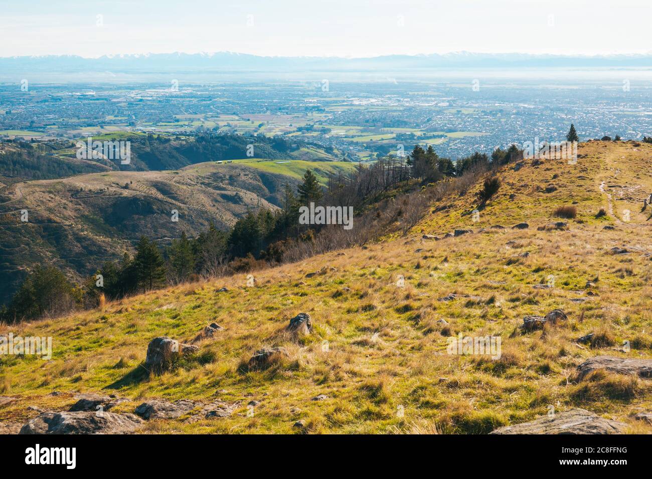 The view over the city of Christchurch as seen from the Thomson Scenic Reserve, Port Hills, New Zealand Stock Photohttps://www.alamy.com/image-license-details/?v=1https://www.alamy.com/the-view-over-the-city-of-christchurch-as-seen-from-the-thomson-scenic-reserve-port-hills-new-zealand-image366676620.html
RM2C8FFNG–The view over the city of Christchurch as seen from the Thomson Scenic Reserve, Port Hills, New Zealand
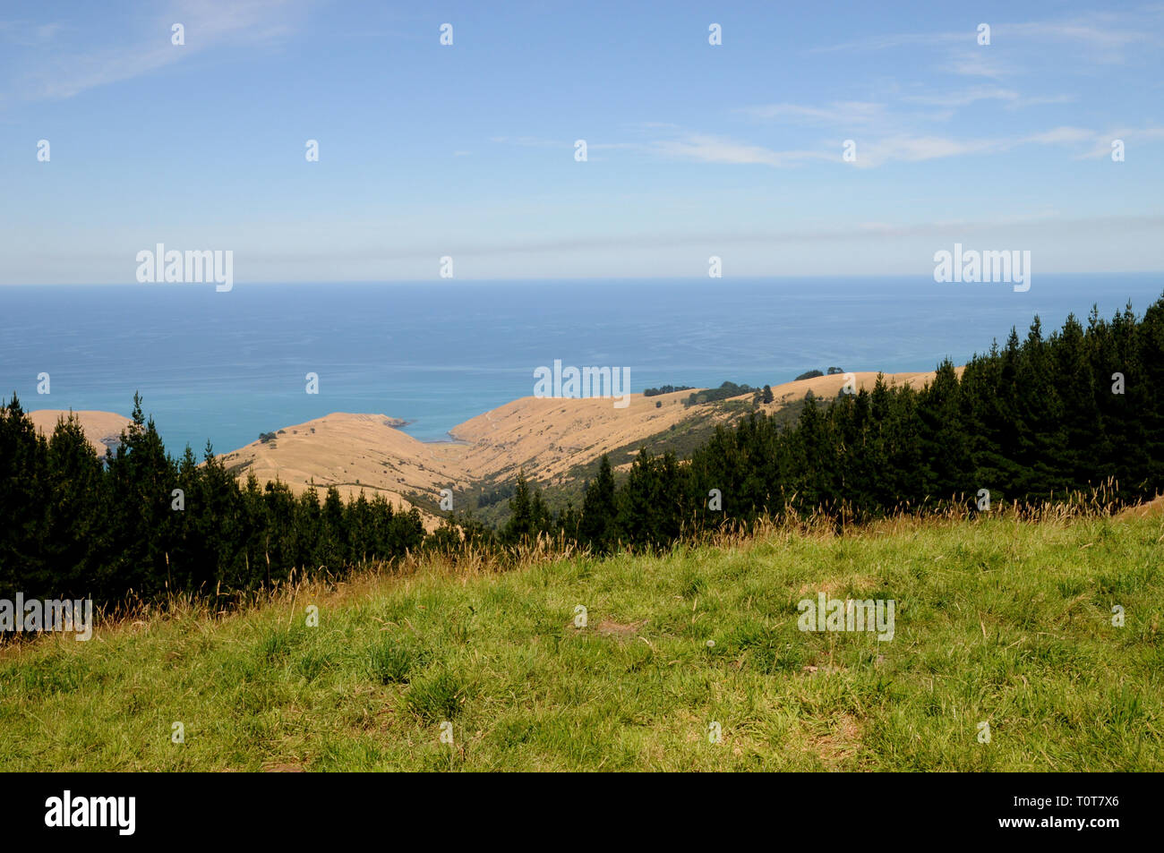 The trail down to Te Oka Bay on the Banks Peninsula on New Zealands South Island, near Christchurch. Stock Photohttps://www.alamy.com/image-license-details/?v=1https://www.alamy.com/the-trail-down-to-te-oka-bay-on-the-banks-peninsula-on-new-zealands-south-island-near-christchurch-image241478222.html
RFT0T7X6–The trail down to Te Oka Bay on the Banks Peninsula on New Zealands South Island, near Christchurch.
