Terduin Stock Photos and Images
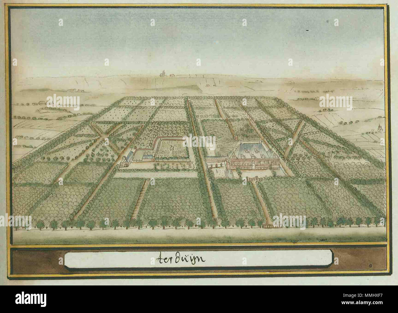
 . Nederlands: Beschryvinge van Zeeland Atlas Schoemaker: Zeeland, Terduin. between 1710 and 1735. Atlas Schoemaker-ZEELAND-1178R-Zeeland, Terduin Stock Photohttps://www.alamy.com/image-license-details/?v=1https://www.alamy.com/nederlands-beschryvinge-van-zeeland-atlas-schoemaker-zeeland-terduin-between-1710-and-1735-atlas-schoemaker-zeeland-1178r-zeeland-terduin-image184790795.html
RMMMHXF7–. Nederlands: Beschryvinge van Zeeland Atlas Schoemaker: Zeeland, Terduin. between 1710 and 1735. Atlas Schoemaker-ZEELAND-1178R-Zeeland, Terduin
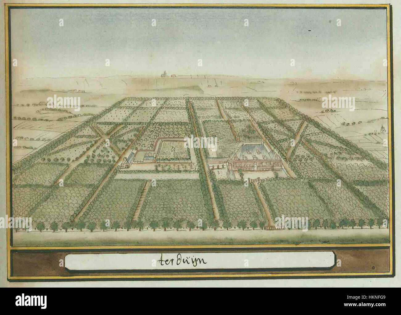
 This 1178R map of Zeeland by Atlas Schoemaker provides a detailed depiction of the province in the late 12th century. The map highlights the region's waterways, settlements, and geographical features. Stock Photohttps://www.alamy.com/image-license-details/?v=1https://www.alamy.com/stock-photo-this-1178r-map-of-zeeland-by-atlas-schoemaker-provides-a-detailed-132624249.html
RMHKNFG9–This 1178R map of Zeeland by Atlas Schoemaker provides a detailed depiction of the province in the late 12th century. The map highlights the region's waterways, settlements, and geographical features.
