Quick filters:
Sombrerete Stock Photos and Images
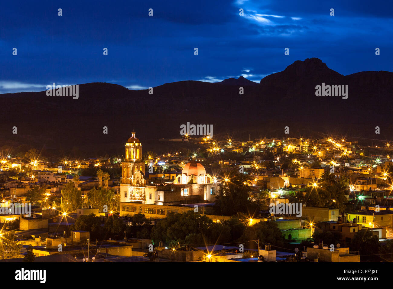 Temple of Sombrerete, Zacatecas at twilight, Mexico. Stock Photohttps://www.alamy.com/image-license-details/?v=1https://www.alamy.com/stock-photo-temple-of-sombrerete-zacatecas-at-twilight-mexico-90456600.html
RFF74J8T–Temple of Sombrerete, Zacatecas at twilight, Mexico.
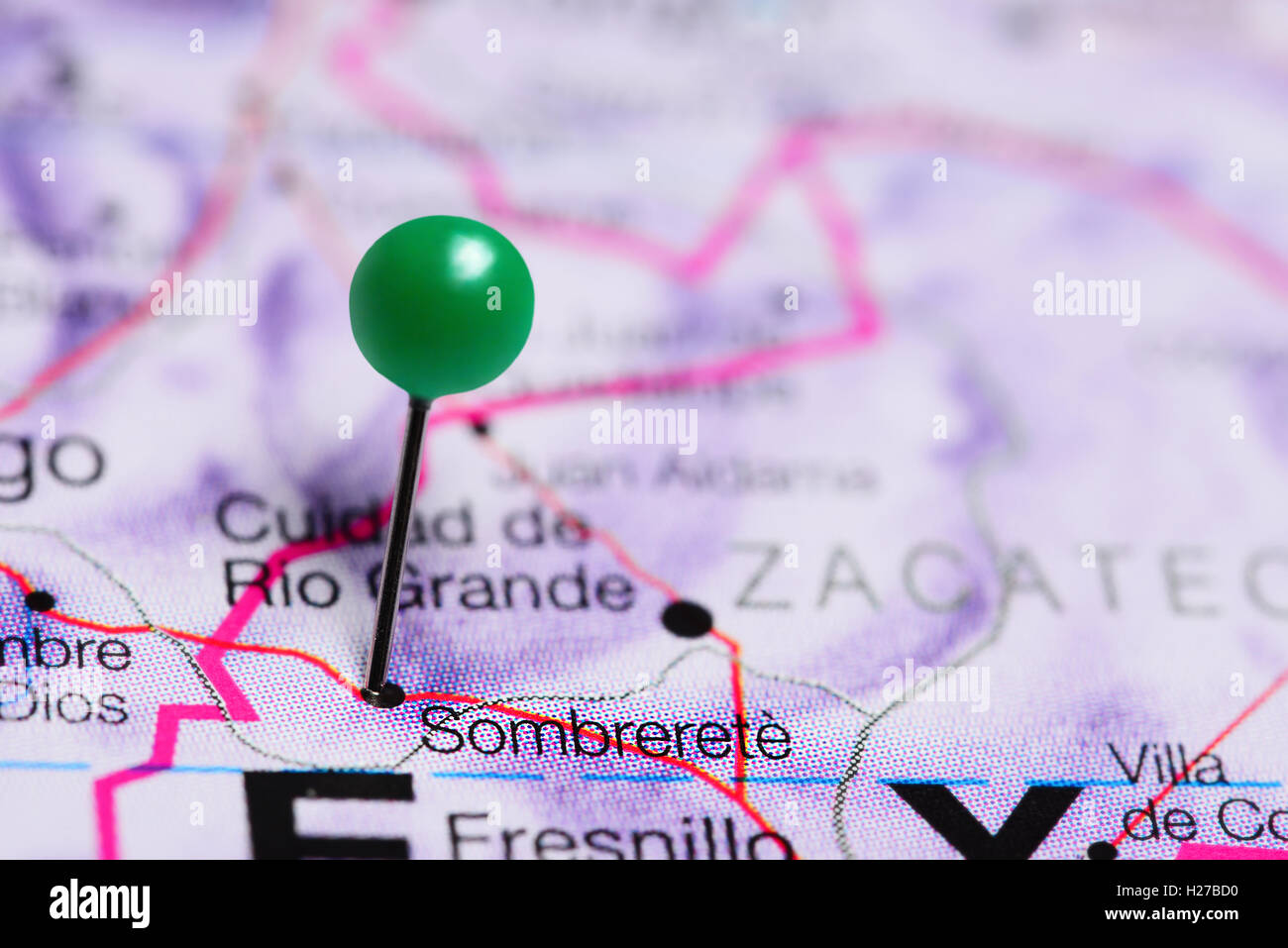 Sombrerete pinned on a map of Mexico Stock Photohttps://www.alamy.com/image-license-details/?v=1https://www.alamy.com/stock-photo-sombrerete-pinned-on-a-map-of-mexico-121864540.html
RFH27BD0–Sombrerete pinned on a map of Mexico
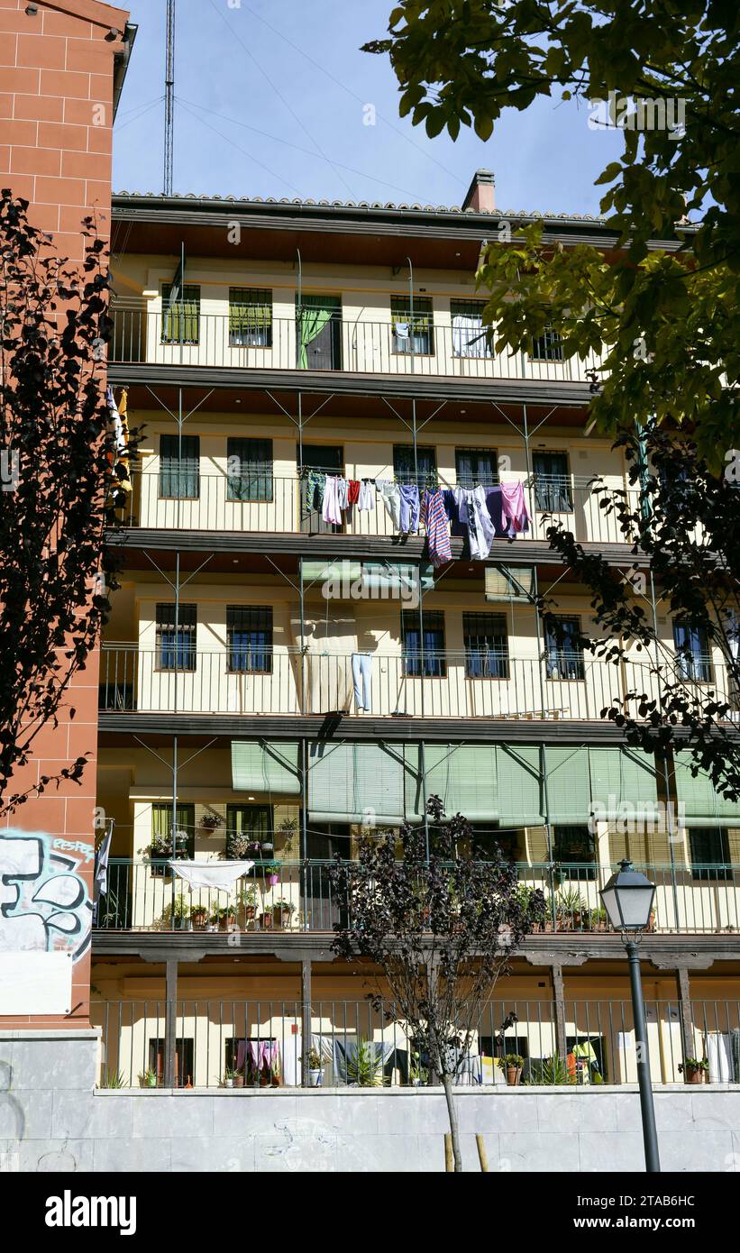 Corrala del Sombrerete located in the historic center of Madrid, Spain Stock Photohttps://www.alamy.com/image-license-details/?v=1https://www.alamy.com/corrala-del-sombrerete-located-in-the-historic-center-of-madrid-spain-image574335368.html
RF2TAB6HC–Corrala del Sombrerete located in the historic center of Madrid, Spain
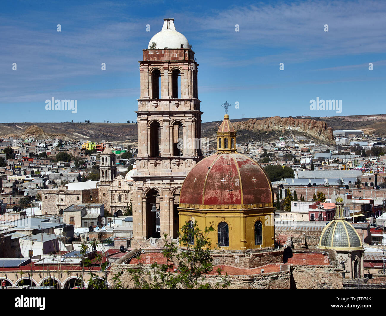 America; Mexico; Zacatecas; Sombrerete city Church of San Francisco Stock Photohttps://www.alamy.com/image-license-details/?v=1https://www.alamy.com/america-mexico-zacatecas-sombrerete-city-church-of-san-francisco-image152725683.html
RMJTD74K–America; Mexico; Zacatecas; Sombrerete city Church of San Francisco
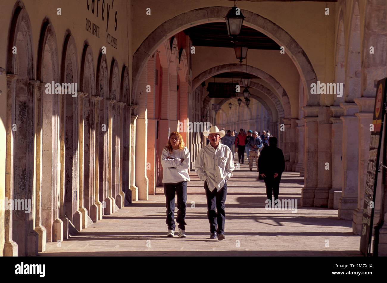 Mexico, Zacatecas, Sombrerete, Historic center, Stock Photohttps://www.alamy.com/image-license-details/?v=1https://www.alamy.com/mexico-zacatecas-sombrerete-historic-center-image503988658.html
RM2M7XJJX–Mexico, Zacatecas, Sombrerete, Historic center,
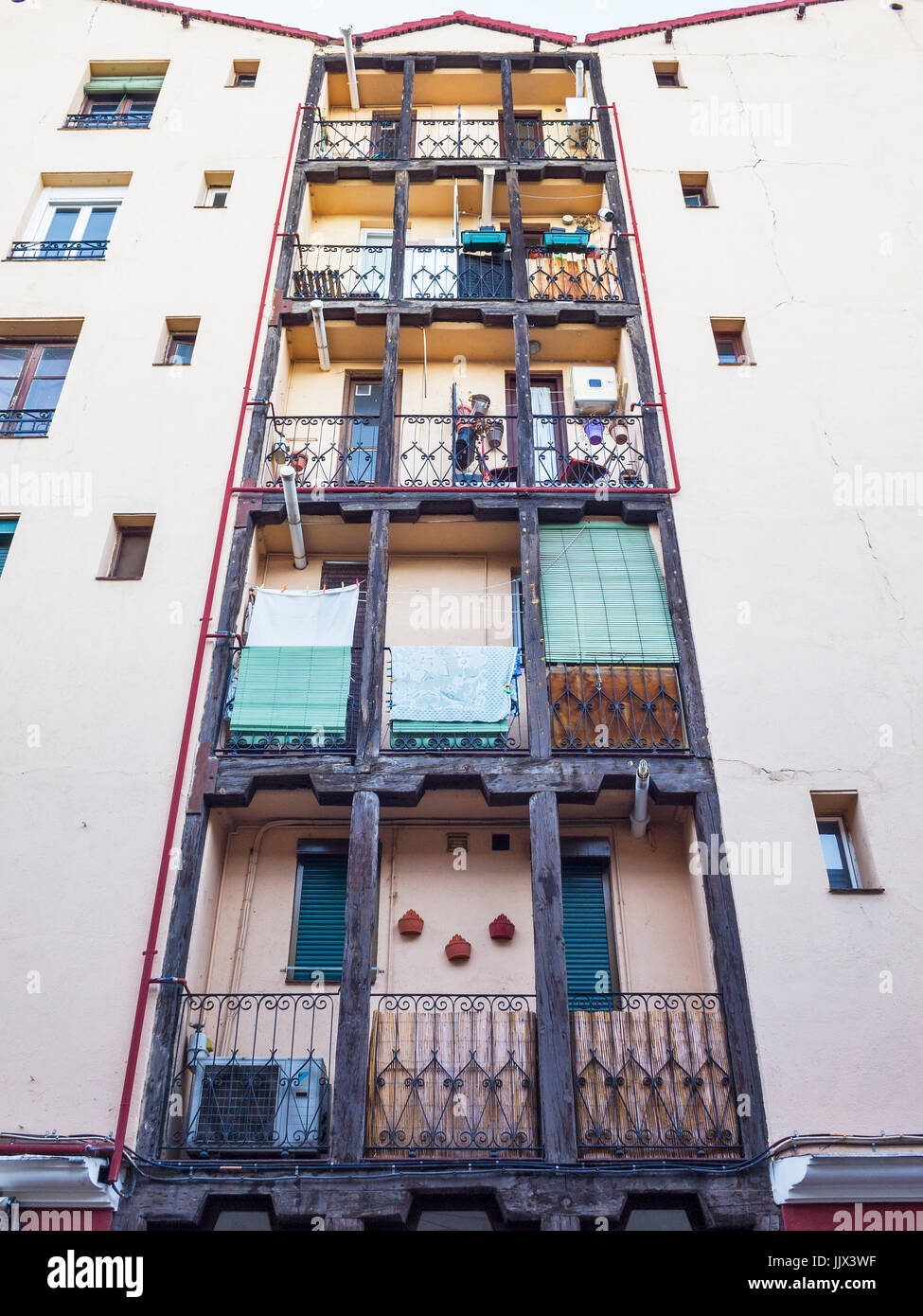 Arquitectura popular en el barrio de Lavapiés. Calle del Sombrerete. Madrid. España Stock Photohttps://www.alamy.com/image-license-details/?v=1https://www.alamy.com/stock-photo-arquitectura-popular-en-el-barrio-de-lavapis-calle-del-sombrerete-149320571.html
RFJJX3WF–Arquitectura popular en el barrio de Lavapiés. Calle del Sombrerete. Madrid. España
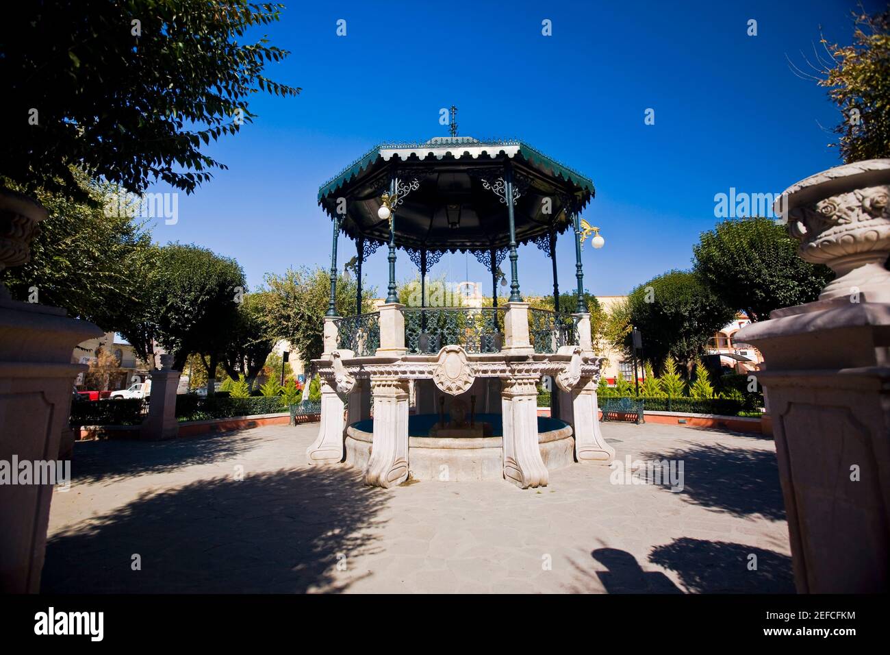 Gazebo in a garden, Sombrerete, Zacatecas State, Mexico Stock Photohttps://www.alamy.com/image-license-details/?v=1https://www.alamy.com/gazebo-in-a-garden-sombrerete-zacatecas-state-mexico-image405334040.html
RF2EFCFKM–Gazebo in a garden, Sombrerete, Zacatecas State, Mexico
 Traditional house in calle Sombrerete in Lavapies. Casa de la Vela in Madrid Stock Photohttps://www.alamy.com/image-license-details/?v=1https://www.alamy.com/traditional-house-in-calle-sombrerete-in-lavapies-casa-de-la-vela-in-madrid-image467537528.html
RF2J4J4TT–Traditional house in calle Sombrerete in Lavapies. Casa de la Vela in Madrid
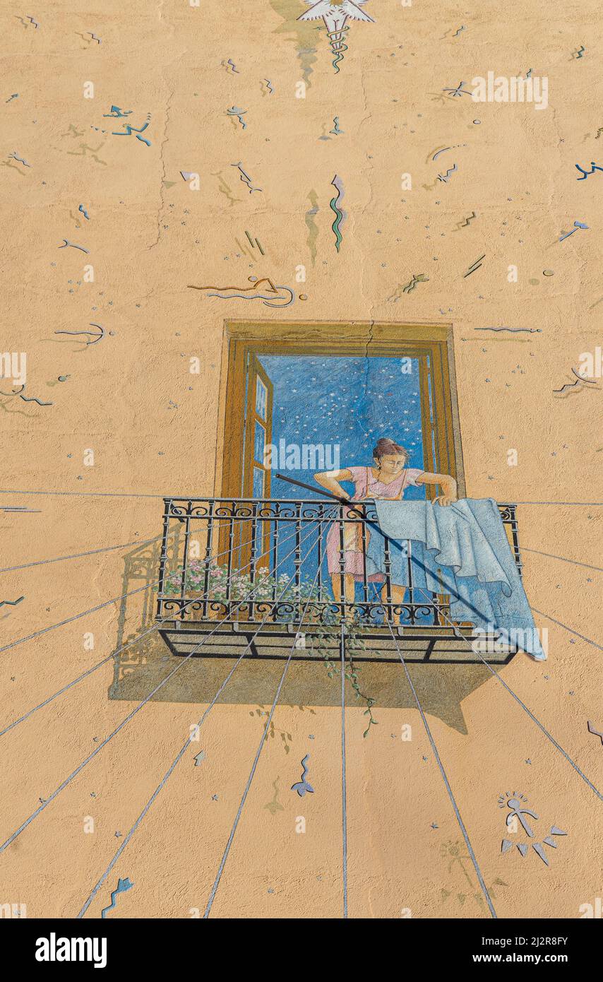 Trompe l'oeil mural art- Sundial of the Casa de la Vela by Ángel Aragonés, 1996. Calle Sombrerete. Madrid Stock Photohttps://www.alamy.com/image-license-details/?v=1https://www.alamy.com/trompe-loeil-mural-art-sundial-of-the-casa-de-la-vela-by-ngel-aragons-1996-calle-sombrerete-madrid-image466420863.html
RM2J2R8FY–Trompe l'oeil mural art- Sundial of the Casa de la Vela by Ángel Aragonés, 1996. Calle Sombrerete. Madrid
 Sombrerete in the Mexico emblem for print and web. Design features geometric style, vector illustration with bold typography in modern font. Graphic slogan lettering isolated on white background. Stock Vectorhttps://www.alamy.com/image-license-details/?v=1https://www.alamy.com/sombrerete-in-the-mexico-emblem-for-print-and-web-design-features-geometric-style-vector-illustration-with-bold-typography-in-modern-font-graphic-slogan-lettering-isolated-on-white-background-image643540798.html
RF2SAYPRX–Sombrerete in the Mexico emblem for print and web. Design features geometric style, vector illustration with bold typography in modern font. Graphic slogan lettering isolated on white background.
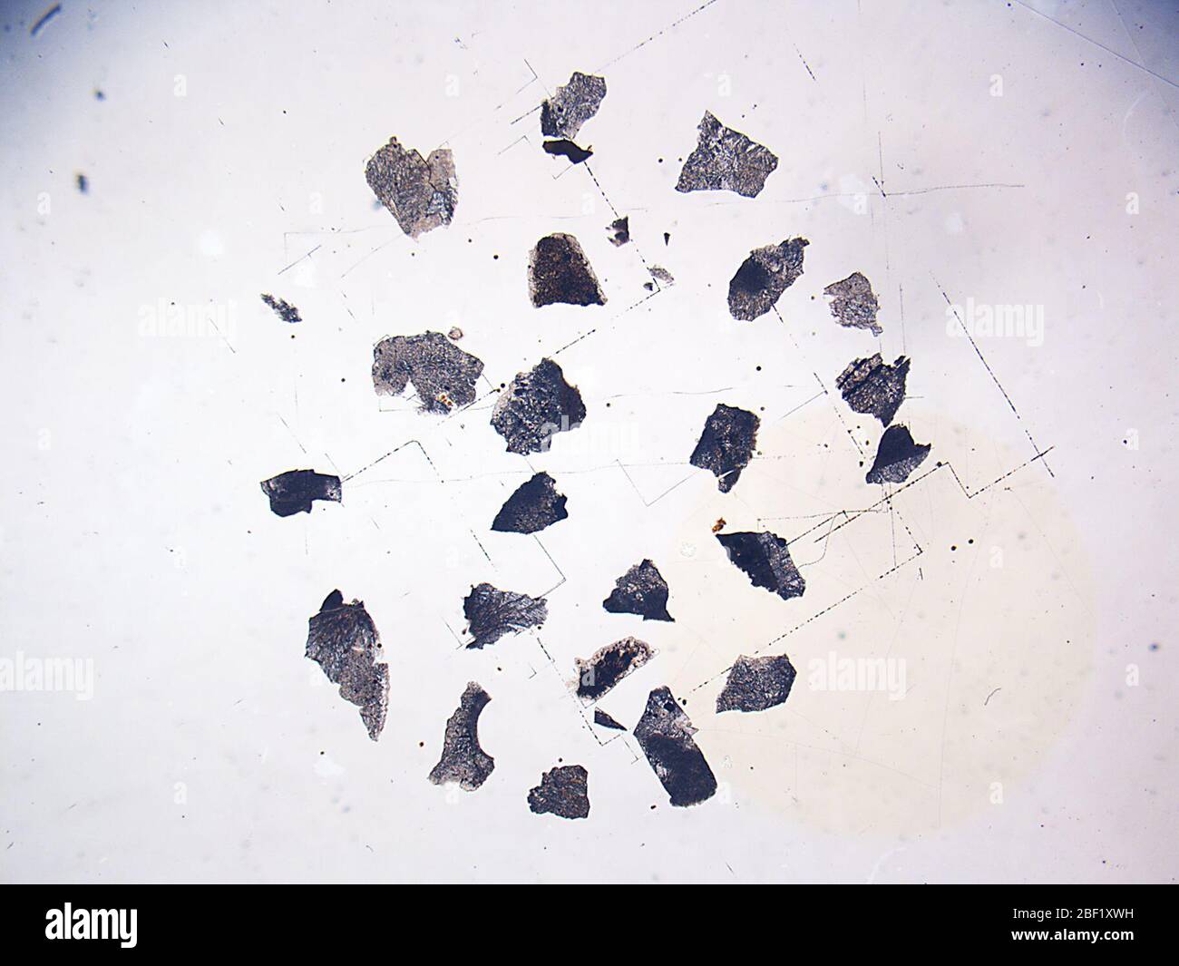 Sombrerete. 23 Aug 201839960631 Stock Photohttps://www.alamy.com/image-license-details/?v=1https://www.alamy.com/sombrerete-23-aug-201839960631-image353470253.html
RM2BF1XWH–Sombrerete. 23 Aug 201839960631
 Colorful flags on old town Sombrerete street of Madrid downtown Stock Photohttps://www.alamy.com/image-license-details/?v=1https://www.alamy.com/colorful-flags-on-old-town-sombrerete-street-of-madrid-downtown-image560601211.html
RF2RG1GFR–Colorful flags on old town Sombrerete street of Madrid downtown
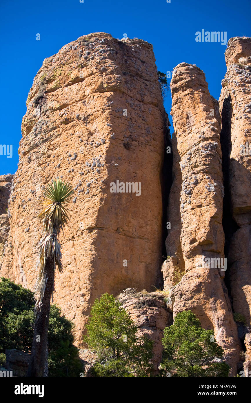 Low angle view of rock formations, Sierra De Organos, Sombrerete, Zacatecas State, Mexico Stock Photohttps://www.alamy.com/image-license-details/?v=1https://www.alamy.com/stock-photo-low-angle-view-of-rock-formations-sierra-de-organos-sombrerete-zacatecas-176647668.html
RFM7AYW8–Low angle view of rock formations, Sierra De Organos, Sombrerete, Zacatecas State, Mexico
 Brilliant eye maze of the peacocks feathers Stock Photohttps://www.alamy.com/image-license-details/?v=1https://www.alamy.com/brilliant-eye-maze-of-the-peacocks-feathers-image186411717.html
RFMR7P19–Brilliant eye maze of the peacocks feathers
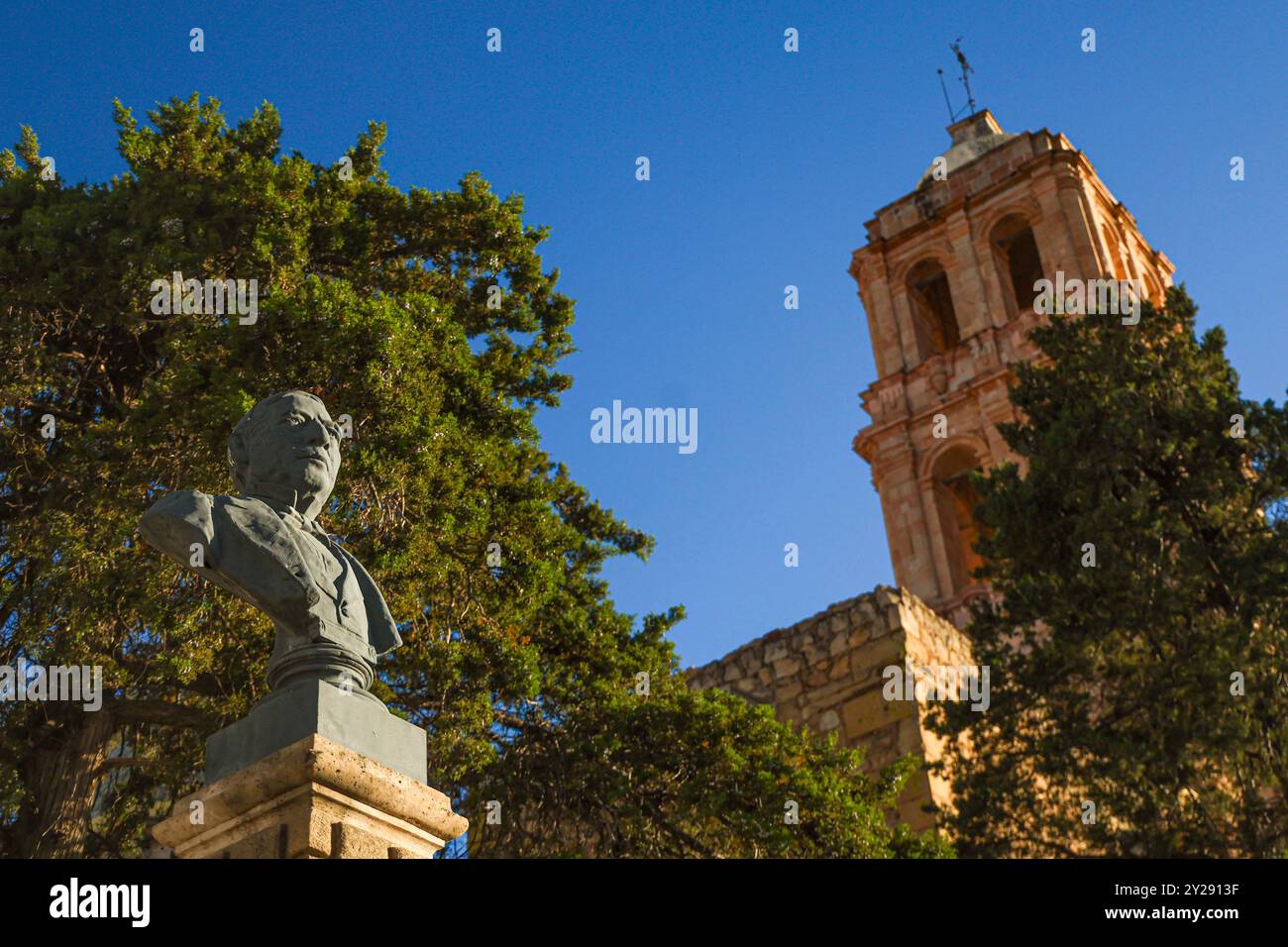 Sombrerete in Zacatecas state, Mexico (Photo by Luis Gutierrez/Norte Photo). Sombrerete en estado Zacatecas,Mexico (Foto por Luis Gutierrez/Norte Photo). Stock Photohttps://www.alamy.com/image-license-details/?v=1https://www.alamy.com/sombrerete-in-zacatecas-state-mexico-photo-by-luis-gutierreznorte-photo-sombrerete-en-estado-zacatecasmexico-foto-por-luis-gutierreznorte-photo-image621001011.html
RF2Y2913F–Sombrerete in Zacatecas state, Mexico (Photo by Luis Gutierrez/Norte Photo). Sombrerete en estado Zacatecas,Mexico (Foto por Luis Gutierrez/Norte Photo).
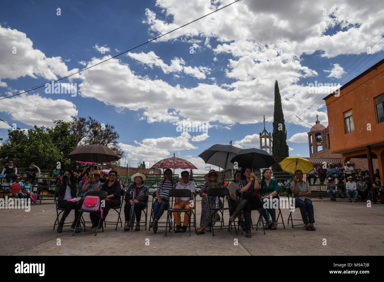 Colonia Gonzalez Ortega, Zacatecas, Mexico. 23rd Mar, 2018. Farmers listen to officials Friday as residents of rural Colonia Gonzalez Ortega, Zacatecas, rallied along with 20 other towns to become an independent municipality breaking out from Sombrerete in the hope of improving services such as water and infrastructure which are currently worse than some places in Sub-Saharan Africa. The central Mexican town is in many ways the quintessential Revolutionary Mexican town-- founded in 1928 -- and evolved into the ''grain silo'' of the country. It has suffered over the years due to half its pop Stock Photohttps://www.alamy.com/image-license-details/?v=1https://www.alamy.com/colonia-gonzalez-ortega-zacatecas-mexico-23rd-mar-2018-farmers-listen-to-officials-friday-as-residents-of-rural-colonia-gonzalez-ortega-zacatecas-rallied-along-with-20-other-towns-to-become-an-independent-municipality-breaking-out-from-sombrerete-in-the-hope-of-improving-services-such-as-water-and-infrastructure-which-are-currently-worse-than-some-places-in-sub-saharan-africa-the-central-mexican-town-is-in-many-ways-the-quintessential-revolutionary-mexican-town-founded-in-1928-and-evolved-into-the-grain-silo-of-the-country-it-has-suffered-over-the-years-due-to-half-its-pop-image177861107.html
RMM9A7JB–Colonia Gonzalez Ortega, Zacatecas, Mexico. 23rd Mar, 2018. Farmers listen to officials Friday as residents of rural Colonia Gonzalez Ortega, Zacatecas, rallied along with 20 other towns to become an independent municipality breaking out from Sombrerete in the hope of improving services such as water and infrastructure which are currently worse than some places in Sub-Saharan Africa. The central Mexican town is in many ways the quintessential Revolutionary Mexican town-- founded in 1928 -- and evolved into the ''grain silo'' of the country. It has suffered over the years due to half its pop
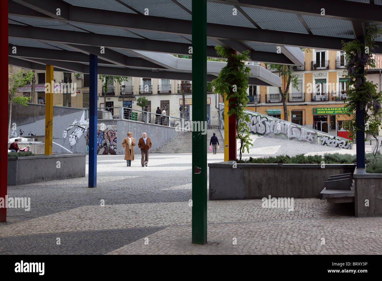 ESPLANADE ON THE CALLE DEL SOMBRERETE, LAVAPIES NEIGHBORHOOD, MADRID, SPAIN Stock Photohttps://www.alamy.com/image-license-details/?v=1https://www.alamy.com/stock-photo-esplanade-on-the-calle-del-sombrerete-lavapies-neighborhood-madrid-31939482.html
RMBRXY3P–ESPLANADE ON THE CALLE DEL SOMBRERETE, LAVAPIES NEIGHBORHOOD, MADRID, SPAIN
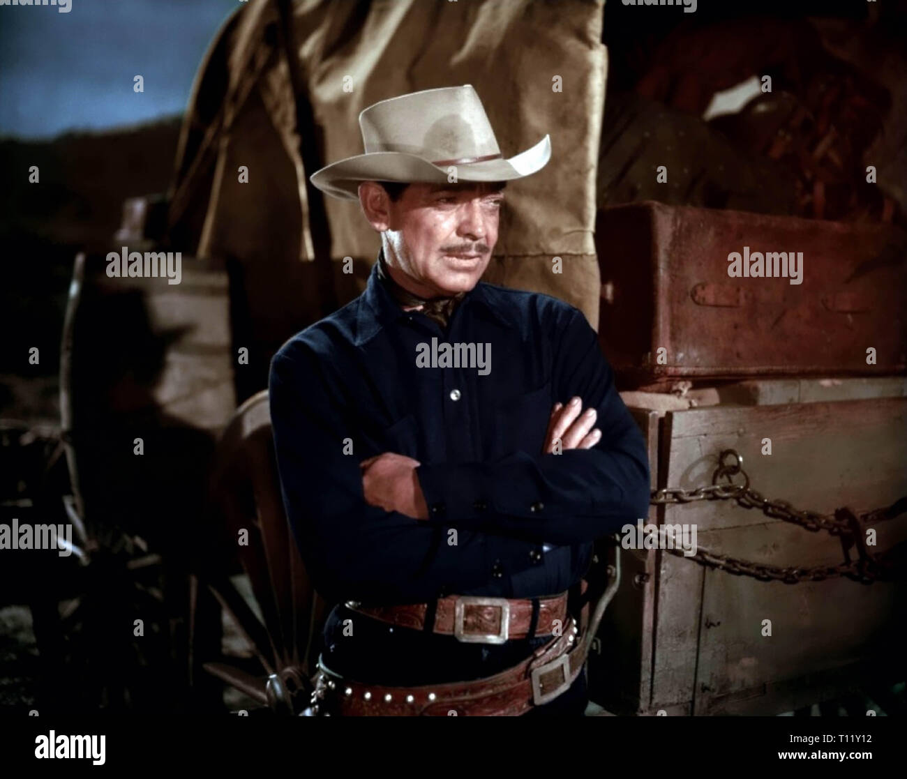 The Tall Men is a 1955 American western film directed by Raoul Walsh and starring Clark Gable, Jane Russell and Robert Ryan. The 20th Century Fox film was produced by William A. Bacher and William B. Hawks. Sydney Boehm and Frank S. Nugent wrote the screenplay, based on a novel by Heck Allen (as Clay Fisher). Filming took place in Sierra de ”rganos National Park in the town of Sombrerete, Mexico Credit: Hollywood Photo Archive / MediaPunch Stock Photohttps://www.alamy.com/image-license-details/?v=1https://www.alamy.com/the-tall-men-is-a-1955-american-western-film-directed-by-raoul-walsh-and-starring-clark-gable-jane-russell-and-robert-ryan-the-20th-century-fox-film-was-produced-by-william-a-bacher-and-william-b-hawks-sydney-boehm-and-frank-s-nugent-wrote-the-screenplay-based-on-a-novel-by-heck-allen-as-clay-fisher-filming-took-place-in-sierra-de-rganos-national-park-in-the-town-of-sombrerete-mexico-credit-hollywood-photo-archive-mediapunch-image241602958.html
RMT11Y12–The Tall Men is a 1955 American western film directed by Raoul Walsh and starring Clark Gable, Jane Russell and Robert Ryan. The 20th Century Fox film was produced by William A. Bacher and William B. Hawks. Sydney Boehm and Frank S. Nugent wrote the screenplay, based on a novel by Heck Allen (as Clay Fisher). Filming took place in Sierra de ”rganos National Park in the town of Sombrerete, Mexico Credit: Hollywood Photo Archive / MediaPunch
 Sombrerete in the Mexico emblem for print and web. Design features geometric style, vector illustration with bold typography in modern font. Graphic s Stock Vectorhttps://www.alamy.com/image-license-details/?v=1https://www.alamy.com/sombrerete-in-the-mexico-emblem-for-print-and-web-design-features-geometric-style-vector-illustration-with-bold-typography-in-modern-font-graphic-s-image690795150.html
RF3C3TC7A–Sombrerete in the Mexico emblem for print and web. Design features geometric style, vector illustration with bold typography in modern font. Graphic s
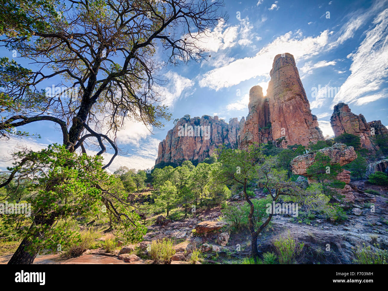 Sierra de Organos in Zacatecas, Mexico. Stock Photohttps://www.alamy.com/image-license-details/?v=1https://www.alamy.com/stock-photo-sierra-de-organos-in-zacatecas-mexico-90357361.html
RFF703MH–Sierra de Organos in Zacatecas, Mexico.
![Acanthite; [Argentite]. minerals. North America; Mexico; Zacatecas; Sombrerete; Mina La Concha Stock Photo Acanthite; [Argentite]. minerals. North America; Mexico; Zacatecas; Sombrerete; Mina La Concha Stock Photo](https://c8.alamy.com/comp/2JDDWYF/acanthite-argentite-minerals-north-america-mexico-zacatecas-sombrerete-mina-la-concha-2JDDWYF.jpg) Acanthite; [Argentite]. minerals. North America; Mexico; Zacatecas; Sombrerete; Mina La Concha Stock Photohttps://www.alamy.com/image-license-details/?v=1https://www.alamy.com/acanthite-argentite-minerals-north-america-mexico-zacatecas-sombrerete-mina-la-concha-image472976211.html
Acanthite; [Argentite]. minerals. North America; Mexico; Zacatecas; Sombrerete; Mina La Concha Stock Photohttps://www.alamy.com/image-license-details/?v=1https://www.alamy.com/acanthite-argentite-minerals-north-america-mexico-zacatecas-sombrerete-mina-la-concha-image472976211.htmlRM2JDDWYF–Acanthite; [Argentite]. minerals. North America; Mexico; Zacatecas; Sombrerete; Mina La Concha
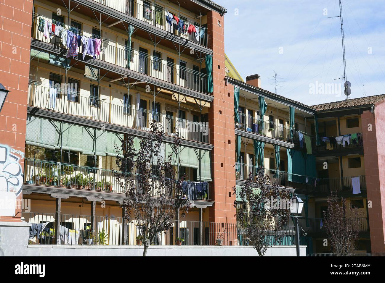 Corrala del Sombrerete located in the historic center of Madrid, Spain Stock Photohttps://www.alamy.com/image-license-details/?v=1https://www.alamy.com/corrala-del-sombrerete-located-in-the-historic-center-of-madrid-spain-image574335467.html
RF2TAB6MY–Corrala del Sombrerete located in the historic center of Madrid, Spain
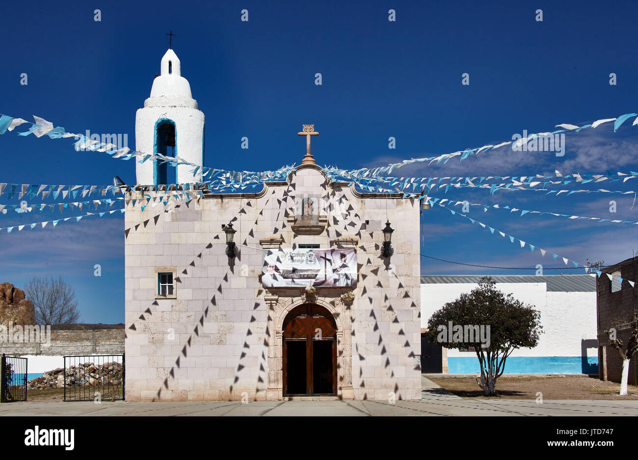 America; Mexico; Sombrerete city; Chapel; Zacatecas State; Stock Photohttps://www.alamy.com/image-license-details/?v=1https://www.alamy.com/america-mexico-sombrerete-city-chapel-zacatecas-state-image152725671.html
RMJTD747–America; Mexico; Sombrerete city; Chapel; Zacatecas State;
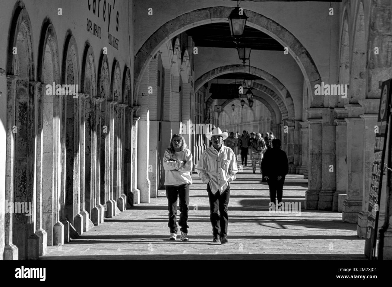 Mexico, Zacatecas, Sombrerete, Historic center, Stock Photohttps://www.alamy.com/image-license-details/?v=1https://www.alamy.com/mexico-zacatecas-sombrerete-historic-center-image503988468.html
RM2M7XJC4–Mexico, Zacatecas, Sombrerete, Historic center,
 VIRGEN DEL SOMBRERETE - SIGLO XVI - O/L - MANIERISMO ESPAÑOL. Author: MORALES, LUIS DE. Location: PRIVATE COLLECTION. MADRID. SPAIN. Stock Photohttps://www.alamy.com/image-license-details/?v=1https://www.alamy.com/virgen-del-sombrerete-siglo-xvi-ol-manierismo-espaol-author-morales-luis-de-location-private-collection-madrid-spain-image235664469.html
RMRKBCC5–VIRGEN DEL SOMBRERETE - SIGLO XVI - O/L - MANIERISMO ESPAÑOL. Author: MORALES, LUIS DE. Location: PRIVATE COLLECTION. MADRID. SPAIN.
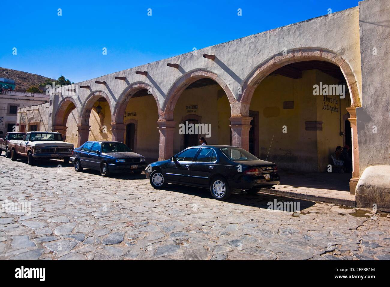 Cars parked in front of a building, Sombrerete, Zacatecas State, Mexico Stock Photohttps://www.alamy.com/image-license-details/?v=1https://www.alamy.com/cars-parked-in-front-of-a-building-sombrerete-zacatecas-state-mexico-image405308448.html
RF2EFBB1M–Cars parked in front of a building, Sombrerete, Zacatecas State, Mexico
 Traditional house in calle Sombrerete in Lavapies. Casa de la Vela in Madrid Stock Photohttps://www.alamy.com/image-license-details/?v=1https://www.alamy.com/traditional-house-in-calle-sombrerete-in-lavapies-casa-de-la-vela-in-madrid-image467537515.html
RF2J4J4TB–Traditional house in calle Sombrerete in Lavapies. Casa de la Vela in Madrid
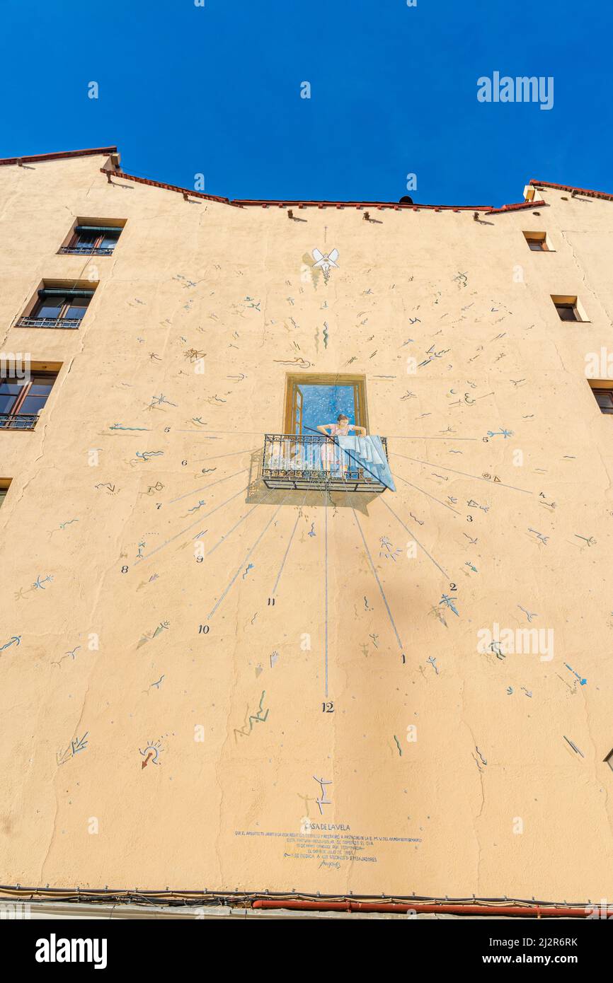 Trompe l'oeil mural art- Sundial of the Casa de la Vela by Ángel Aragonés, 1996. Calle Sombrerete. Madrid Stock Photohttps://www.alamy.com/image-license-details/?v=1https://www.alamy.com/trompe-loeil-mural-art-sundial-of-the-casa-de-la-vela-by-ngel-aragons-1996-calle-sombrerete-madrid-image466419511.html
RM2J2R6RK–Trompe l'oeil mural art- Sundial of the Casa de la Vela by Ángel Aragonés, 1996. Calle Sombrerete. Madrid
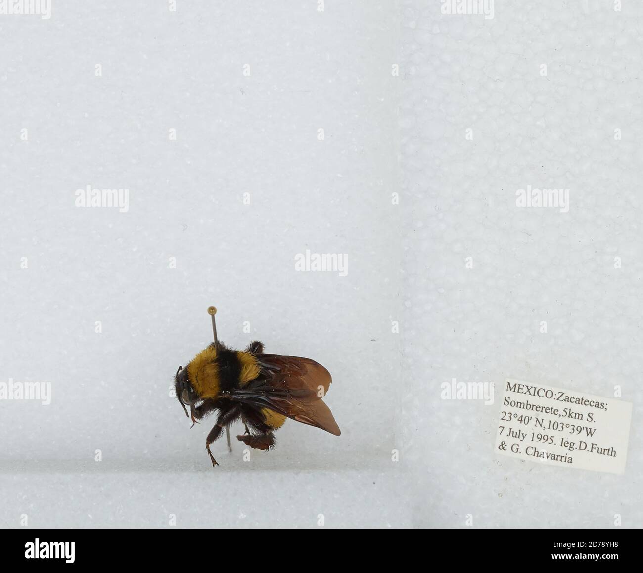 5 km South of Sombrerete, Zacatecas, Mexico, Bombus (Fervidobombus) sonorus Say, Animalia, Arthropoda, Insecta, Hymenoptera, Apidae, Apinae Stock Photohttps://www.alamy.com/image-license-details/?v=1https://www.alamy.com/5-km-south-of-sombrerete-zacatecas-mexico-bombus-fervidobombus-sonorus-say-animalia-arthropoda-insecta-hymenoptera-apidae-apinae-image383127956.html
RM2D78YH8–5 km South of Sombrerete, Zacatecas, Mexico, Bombus (Fervidobombus) sonorus Say, Animalia, Arthropoda, Insecta, Hymenoptera, Apidae, Apinae
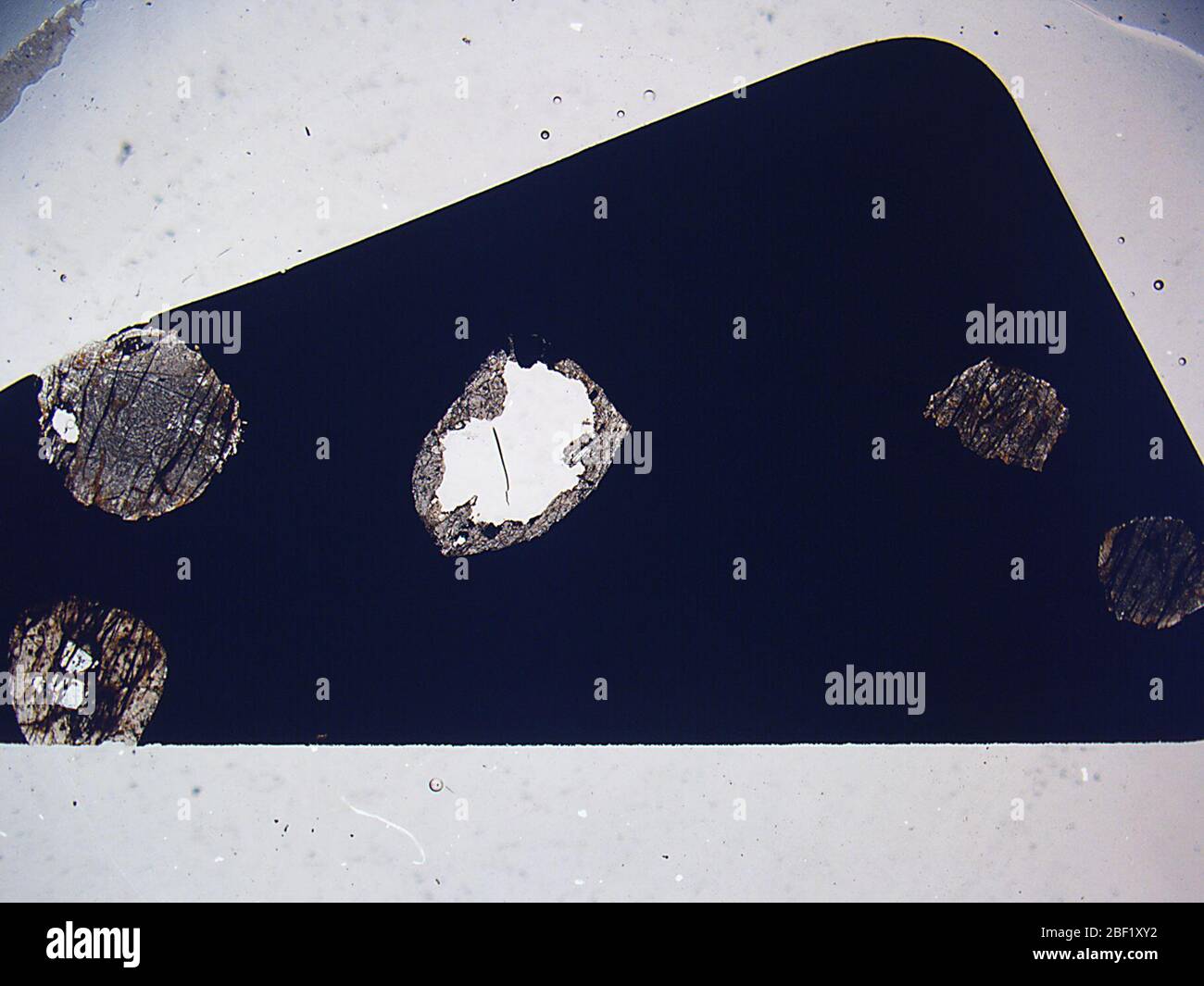 Sombrerete. 23 Aug 201839960631 Stock Photohttps://www.alamy.com/image-license-details/?v=1https://www.alamy.com/sombrerete-23-aug-201839960631-image353470294.html
RM2BF1XY2–Sombrerete. 23 Aug 201839960631
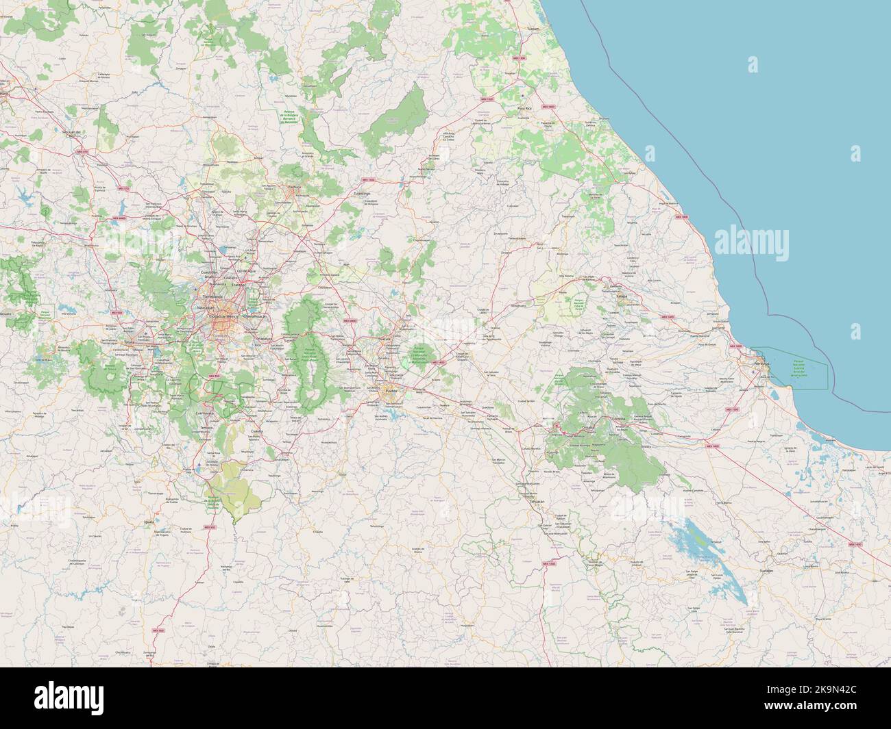 Puebla, state of Mexico. Open Street Map Stock Photohttps://www.alamy.com/image-license-details/?v=1https://www.alamy.com/puebla-state-of-mexico-open-street-map-image487886404.html
RF2K9N42C–Puebla, state of Mexico. Open Street Map
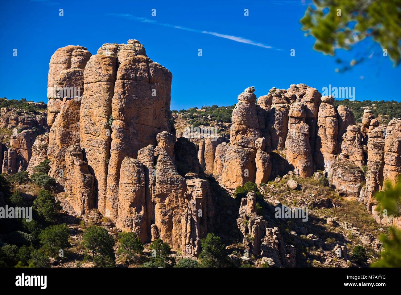 Rock formations on a landscape, Sierra De Organos, Sombrerete, Zacatecas State, Mexico Stock Photohttps://www.alamy.com/image-license-details/?v=1https://www.alamy.com/stock-photo-rock-formations-on-a-landscape-sierra-de-organos-sombrerete-zacatecas-176647732.html
RFM7AYYG–Rock formations on a landscape, Sierra De Organos, Sombrerete, Zacatecas State, Mexico
 . Monetario americano (ilustrado) clasificado. N I22I—Anverso. Como el número 1212. Año •1822» Reverso Leyenda Hispaneet Ind • Rex » @ • (Gua7iajitato)8 R • J • M • En el campo: Escudo de armas de España. Plata: Peso 26 gram. 7 decig. GENERAL VARGAS. N 1222—Anverso Leyenda R • Cax .. .. xa • D • Sómbrete. ( Caxa de Sombrerete). En el campo: Escudo de armas deEspaña bajo corona ducal. Reverso Leyenda Vargas • En el campo: 1812 teniendoá la izquierda I S I y á la derecha M ; ambas iniciales bajocorona. Debajo 3. Plata: Peso 26 gram. 6 decíg. N 1223—Como el número anterior, pero están muy borrada Stock Photohttps://www.alamy.com/image-license-details/?v=1https://www.alamy.com/monetario-americano-ilustrado-clasificado-n-i22ianverso-como-el-nmero-1212-ao-1822-reverso-leyenda-hispaneet-ind-rex-@-gua7iajitato8-r-j-m-en-el-campo-escudo-de-armas-de-espaa-plata-peso-26-gram-7-decig-general-vargas-n-1222anverso-leyenda-r-cax-xa-d-smbrete-caxa-de-sombrerete-en-el-campo-escudo-de-armas-deespaa-bajo-corona-ducal-reverso-leyenda-vargas-en-el-campo-1812-teniendo-la-izquierda-i-s-i-y-la-derecha-m-ambas-iniciales-bajocorona-debajo-3-plata-peso-26-gram-6-decg-n-1223como-el-nmero-anterior-pero-estn-muy-borrada-image370762832.html
RM2CF5KNM–. Monetario americano (ilustrado) clasificado. N I22I—Anverso. Como el número 1212. Año •1822» Reverso Leyenda Hispaneet Ind • Rex » @ • (Gua7iajitato)8 R • J • M • En el campo: Escudo de armas de España. Plata: Peso 26 gram. 7 decig. GENERAL VARGAS. N 1222—Anverso Leyenda R • Cax .. .. xa • D • Sómbrete. ( Caxa de Sombrerete). En el campo: Escudo de armas deEspaña bajo corona ducal. Reverso Leyenda Vargas • En el campo: 1812 teniendoá la izquierda I S I y á la derecha M ; ambas iniciales bajocorona. Debajo 3. Plata: Peso 26 gram. 6 decíg. N 1223—Como el número anterior, pero están muy borrada
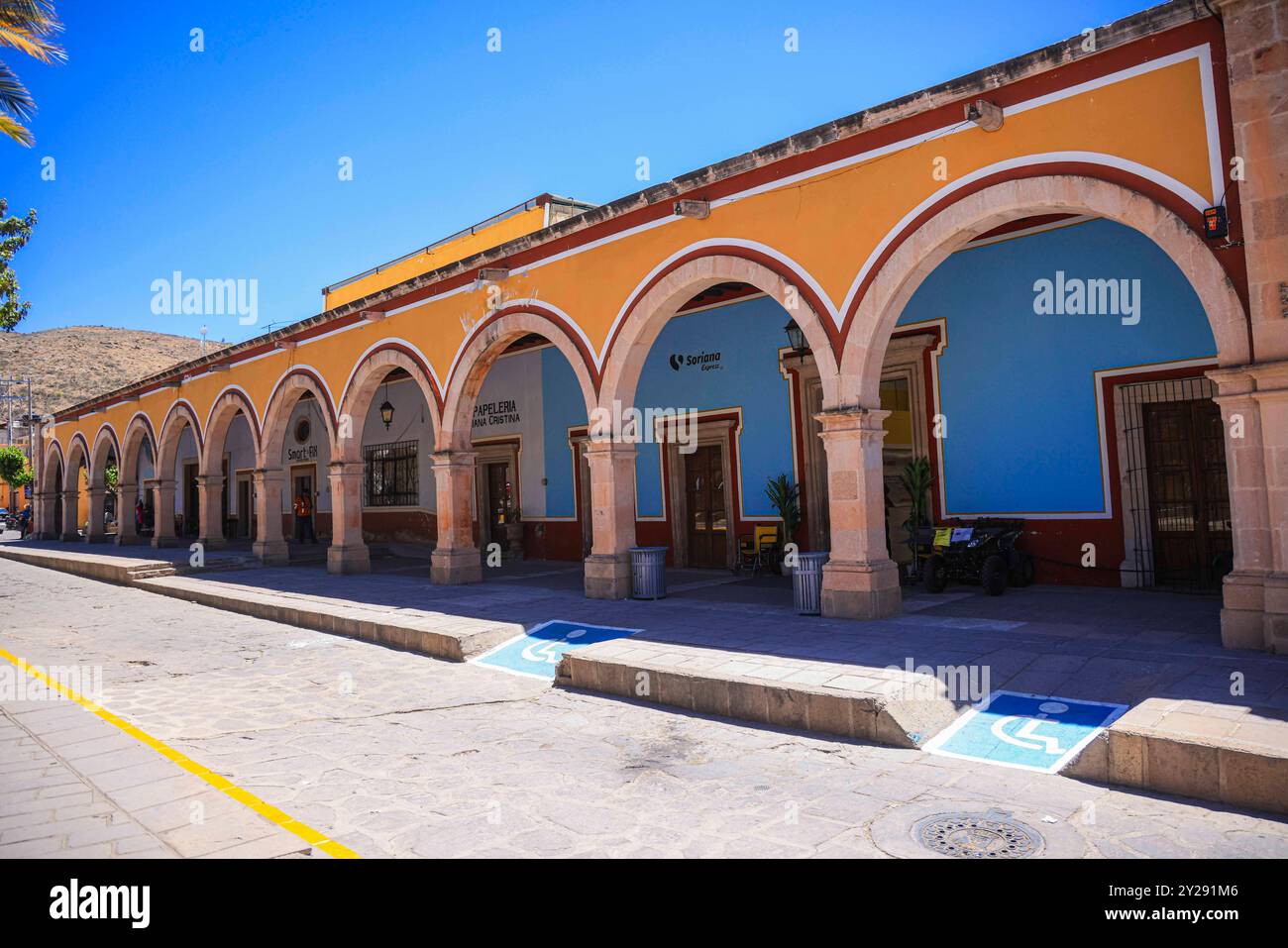 Sombrerete in Zacatecas state, Mexico (Photo by Luis Gutierrez/Norte Photo). Sombrerete en estado Zacatecas,Mexico (Foto por Luis Gutierrez/Norte Photo). Stock Photohttps://www.alamy.com/image-license-details/?v=1https://www.alamy.com/sombrerete-in-zacatecas-state-mexico-photo-by-luis-gutierreznorte-photo-sombrerete-en-estado-zacatecasmexico-foto-por-luis-gutierreznorte-photo-image621001478.html
RF2Y291M6–Sombrerete in Zacatecas state, Mexico (Photo by Luis Gutierrez/Norte Photo). Sombrerete en estado Zacatecas,Mexico (Foto por Luis Gutierrez/Norte Photo).
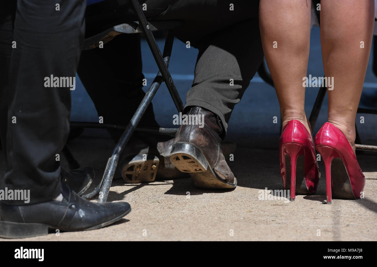 Colonia Gonzalez Ortega, Zacatecas, Mexico. 23rd Mar, 2018. Farmers listen to officials Friday as residents of rural Colonia Gonzalez Ortega, Zacatecas, rallied along with 20 other towns to become an independent municipality breaking from Sombrerete in the hope of improving services such as water and infrastructure which are currently worse than some places in Sub-Saharan Africa. The central Mexican town is in many ways the quintessential Revolutionary Mexican town-- founded in 1928 -- and evolved into the ''grain silo'' of the country. It has suffered over the years due to half its popula Stock Photohttps://www.alamy.com/image-license-details/?v=1https://www.alamy.com/colonia-gonzalez-ortega-zacatecas-mexico-23rd-mar-2018-farmers-listen-to-officials-friday-as-residents-of-rural-colonia-gonzalez-ortega-zacatecas-rallied-along-with-20-other-towns-to-become-an-independent-municipality-breaking-from-sombrerete-in-the-hope-of-improving-services-such-as-water-and-infrastructure-which-are-currently-worse-than-some-places-in-sub-saharan-africa-the-central-mexican-town-is-in-many-ways-the-quintessential-revolutionary-mexican-town-founded-in-1928-and-evolved-into-the-grain-silo-of-the-country-it-has-suffered-over-the-years-due-to-half-its-popula-image177861104.html
RMM9A7J8–Colonia Gonzalez Ortega, Zacatecas, Mexico. 23rd Mar, 2018. Farmers listen to officials Friday as residents of rural Colonia Gonzalez Ortega, Zacatecas, rallied along with 20 other towns to become an independent municipality breaking from Sombrerete in the hope of improving services such as water and infrastructure which are currently worse than some places in Sub-Saharan Africa. The central Mexican town is in many ways the quintessential Revolutionary Mexican town-- founded in 1928 -- and evolved into the ''grain silo'' of the country. It has suffered over the years due to half its popula
 NEIGHBORHOOD FARMACIA (PHARMACY), CALLE DEL SOMBRERETE, LAVAPIES NEIGHBORHOOD, MADRID, SPAIN Stock Photohttps://www.alamy.com/image-license-details/?v=1https://www.alamy.com/stock-photo-neighborhood-farmacia-pharmacy-calle-del-sombrerete-lavapies-neighborhood-31934379.html
RMBRXMHF–NEIGHBORHOOD FARMACIA (PHARMACY), CALLE DEL SOMBRERETE, LAVAPIES NEIGHBORHOOD, MADRID, SPAIN
 The Tall Men is a 1955 American western film directed by Raoul Walsh and starring Clark Gable, Jane Russell and Robert Ryan. The 20th Century Fox film was produced by William A. Bacher and William B. Hawks. Sydney Boehm and Frank S. Nugent wrote the screenplay, based on a novel by Heck Allen (as Clay Fisher). Filming took place in Sierra de ”rganos National Park in the town of Sombrerete, Mexico Credit: Hollywood Photo Archive / MediaPunch Stock Photohttps://www.alamy.com/image-license-details/?v=1https://www.alamy.com/the-tall-men-is-a-1955-american-western-film-directed-by-raoul-walsh-and-starring-clark-gable-jane-russell-and-robert-ryan-the-20th-century-fox-film-was-produced-by-william-a-bacher-and-william-b-hawks-sydney-boehm-and-frank-s-nugent-wrote-the-screenplay-based-on-a-novel-by-heck-allen-as-clay-fisher-filming-took-place-in-sierra-de-rganos-national-park-in-the-town-of-sombrerete-mexico-credit-hollywood-photo-archive-mediapunch-image241602962.html
RMT11Y16–The Tall Men is a 1955 American western film directed by Raoul Walsh and starring Clark Gable, Jane Russell and Robert Ryan. The 20th Century Fox film was produced by William A. Bacher and William B. Hawks. Sydney Boehm and Frank S. Nugent wrote the screenplay, based on a novel by Heck Allen (as Clay Fisher). Filming took place in Sierra de ”rganos National Park in the town of Sombrerete, Mexico Credit: Hollywood Photo Archive / MediaPunch
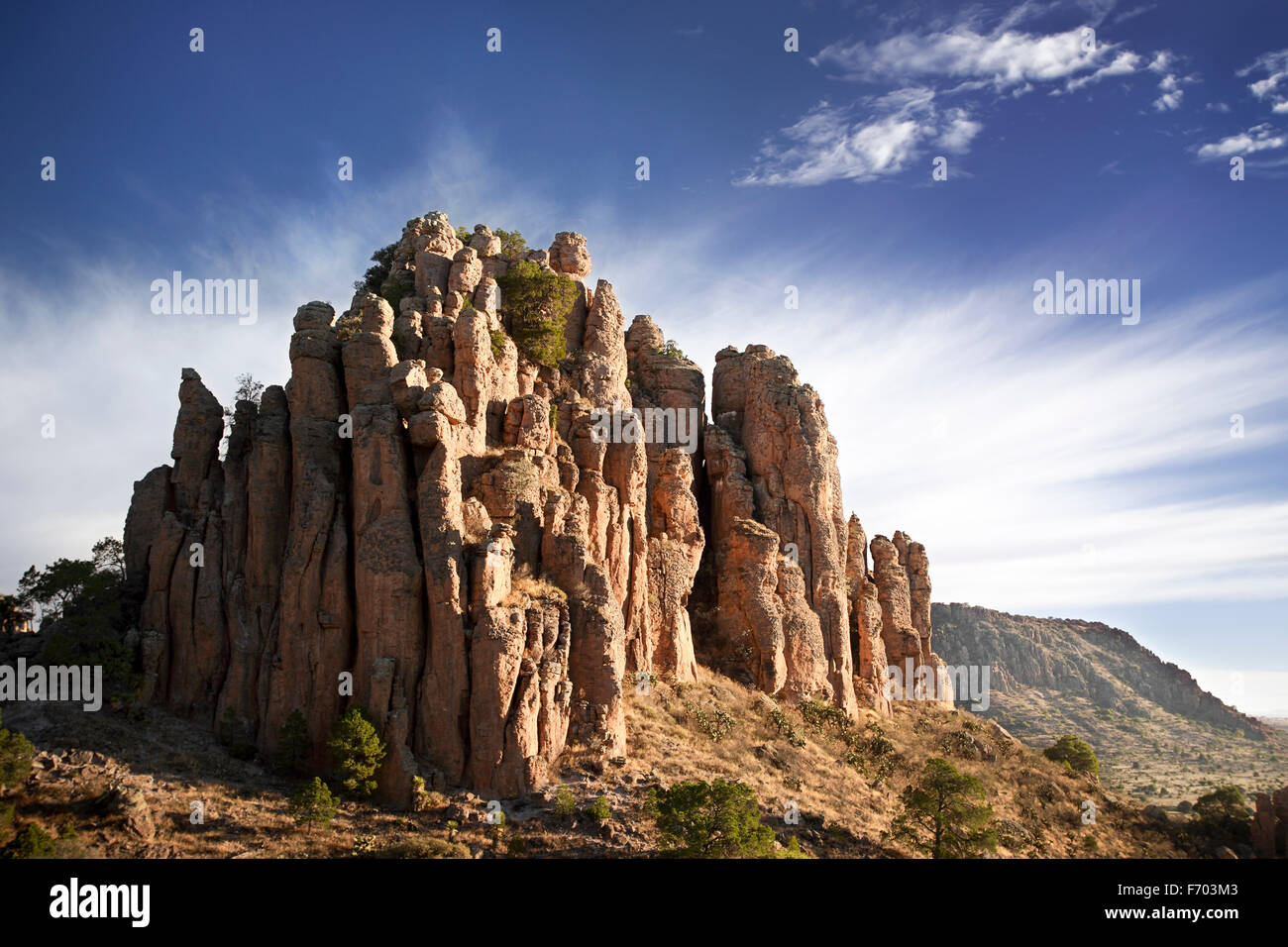 Tercer Cañada in the Sierra de Organos, Zacatecas, Mexico. Stock Photohttps://www.alamy.com/image-license-details/?v=1https://www.alamy.com/stock-photo-tercer-caada-in-the-sierra-de-organos-zacatecas-mexico-90357347.html
RFF703M3–Tercer Cañada in the Sierra de Organos, Zacatecas, Mexico.
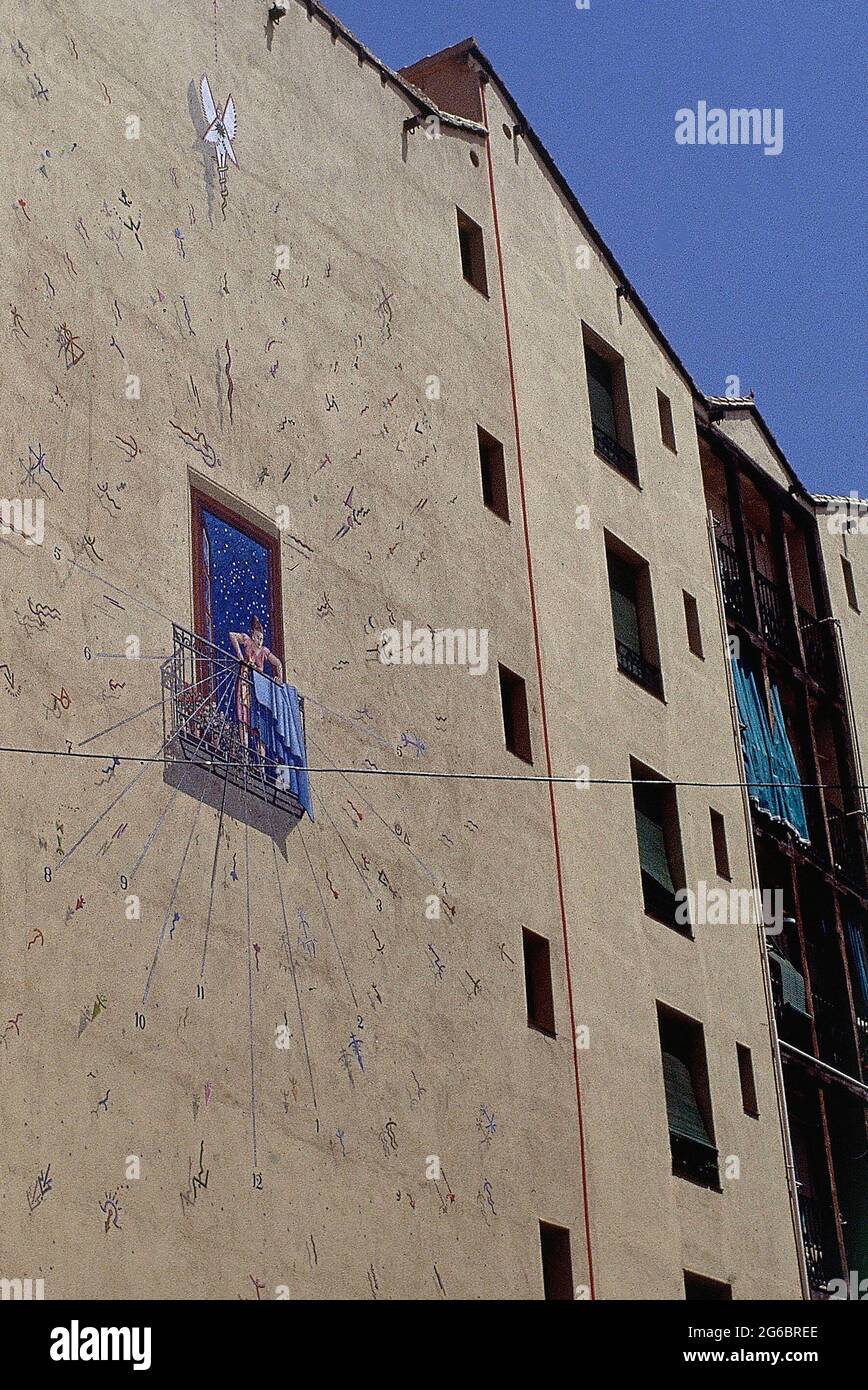 TRAMPANTOJO - RELOJ DE SOL EN LA CASA DE LA VELA SITUADA EN LA CALLE SOMBRERETE DEL BARRIO DE LAVAPIES. Location: EXTERIOR. MADRID. SPAIN. Stock Photohttps://www.alamy.com/image-license-details/?v=1https://www.alamy.com/trampantojo-reloj-de-sol-en-la-casa-de-la-vela-situada-en-la-calle-sombrerete-del-barrio-de-lavapies-location-exterior-madrid-spain-image434207046.html
RM2G6BREE–TRAMPANTOJO - RELOJ DE SOL EN LA CASA DE LA VELA SITUADA EN LA CALLE SOMBRERETE DEL BARRIO DE LAVAPIES. Location: EXTERIOR. MADRID. SPAIN.
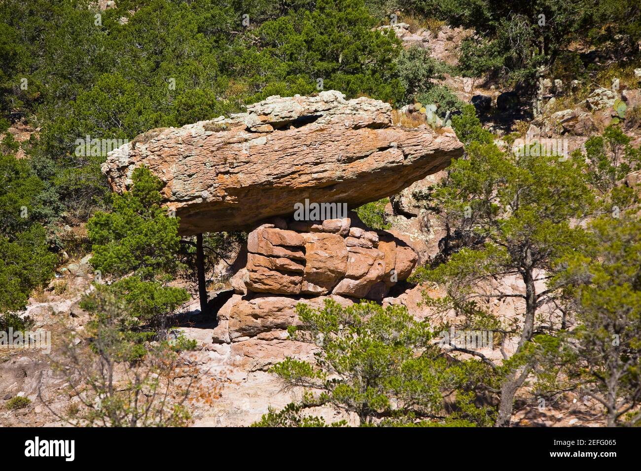 Rock formations in a forest, Sierra De Organos, Sombrerete, Zacatecas State, Mexico Stock Photohttps://www.alamy.com/image-license-details/?v=1https://www.alamy.com/rock-formations-in-a-forest-sierra-de-organos-sombrerete-zacatecas-state-mexico-image405409709.html
RF2EFG065–Rock formations in a forest, Sierra De Organos, Sombrerete, Zacatecas State, Mexico
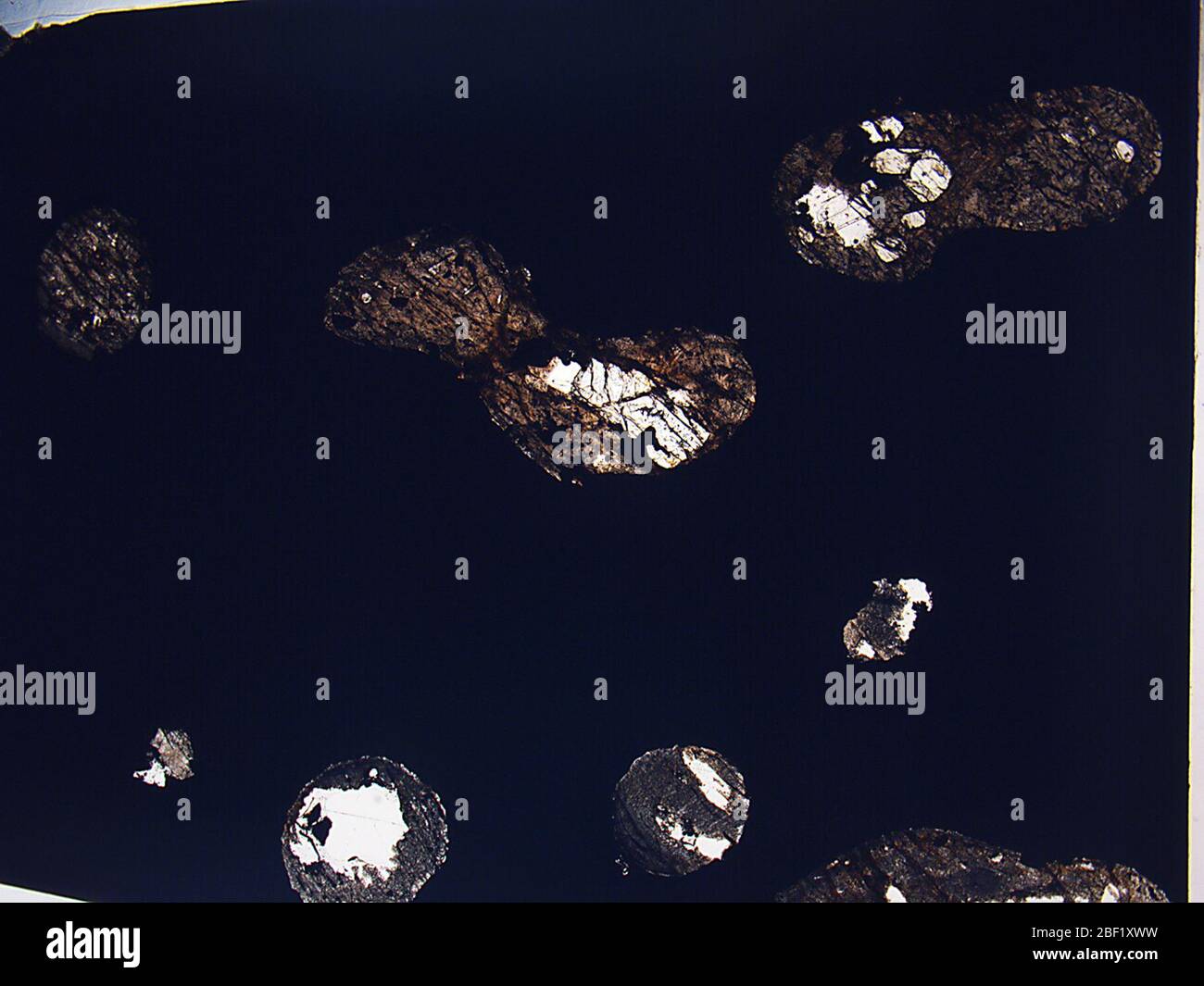 Sombrerete. 23 Aug 201839960631 Stock Photohttps://www.alamy.com/image-license-details/?v=1https://www.alamy.com/sombrerete-23-aug-201839960631-image353470261.html
RM2BF1XWW–Sombrerete. 23 Aug 201839960631
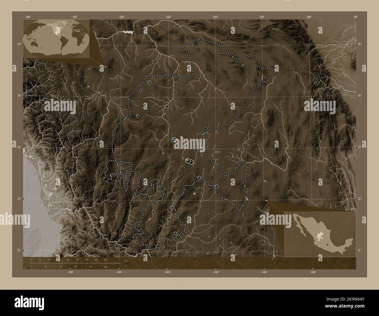 Zacatecas, state of Mexico. Elevation map colored in sepia tones with lakes and rivers. Locations of major cities of the region. Corner auxiliary loca Stock Photohttps://www.alamy.com/image-license-details/?v=1https://www.alamy.com/zacatecas-state-of-mexico-elevation-map-colored-in-sepia-tones-with-lakes-and-rivers-locations-of-major-cities-of-the-region-corner-auxiliary-loca-image487888043.html
RF2K9N64Y–Zacatecas, state of Mexico. Elevation map colored in sepia tones with lakes and rivers. Locations of major cities of the region. Corner auxiliary loca
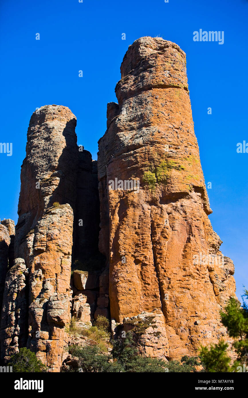 Low angle view of rock formations, Sierra De Organos, Sombrerete, Zacatecas State, Mexico Stock Photohttps://www.alamy.com/image-license-details/?v=1https://www.alamy.com/stock-photo-low-angle-view-of-rock-formations-sierra-de-organos-sombrerete-zacatecas-176647724.html
RFM7AYY8–Low angle view of rock formations, Sierra De Organos, Sombrerete, Zacatecas State, Mexico
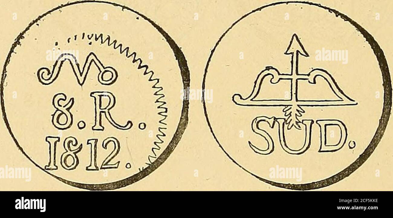 . Monetario americano (ilustrado) clasificado. N 1222—Anverso Leyenda R • Cax .. .. xa • D • Sómbrete. ( Caxa de Sombrerete). En el campo: Escudo de armas deEspaña bajo corona ducal. Reverso Leyenda Vargas • En el campo: 1812 teniendoá la izquierda I S I y á la derecha M ; ambas iniciales bajocorona. Debajo 3. Plata: Peso 26 gram. 6 decíg. N 1223—Como el número anterior, pero están muy borradas lasinscripciones. Plata: Peso 26 gram. 4 decíg. — 374 — JOSÉ M. MORELOS. N° 1224—^ Anverso En el campo: 8»R», debajo 1812* y arribala letra M ligada en su pierna derecha con una O. Reverso En el campo: Stock Photohttps://www.alamy.com/image-license-details/?v=1https://www.alamy.com/monetario-americano-ilustrado-clasificado-n-1222anverso-leyenda-r-cax-xa-d-smbrete-caxa-de-sombrerete-en-el-campo-escudo-de-armas-deespaa-bajo-corona-ducal-reverso-leyenda-vargas-en-el-campo-1812-teniendo-la-izquierda-i-s-i-y-la-derecha-m-ambas-iniciales-bajocorona-debajo-3-plata-peso-26-gram-6-decg-n-1223como-el-nmero-anterior-pero-estn-muy-borradas-lasinscripciones-plata-peso-26-gram-4-decg-374-jos-m-morelos-n-1224-anverso-en-el-campo-8r-debajo-1812-y-arribala-letra-m-ligada-en-su-pierna-derecha-con-una-o-reverso-en-el-campo-image370762770.html
RM2CF5KKE–. Monetario americano (ilustrado) clasificado. N 1222—Anverso Leyenda R • Cax .. .. xa • D • Sómbrete. ( Caxa de Sombrerete). En el campo: Escudo de armas deEspaña bajo corona ducal. Reverso Leyenda Vargas • En el campo: 1812 teniendoá la izquierda I S I y á la derecha M ; ambas iniciales bajocorona. Debajo 3. Plata: Peso 26 gram. 6 decíg. N 1223—Como el número anterior, pero están muy borradas lasinscripciones. Plata: Peso 26 gram. 4 decíg. — 374 — JOSÉ M. MORELOS. N° 1224—^ Anverso En el campo: 8»R», debajo 1812* y arribala letra M ligada en su pierna derecha con una O. Reverso En el campo:
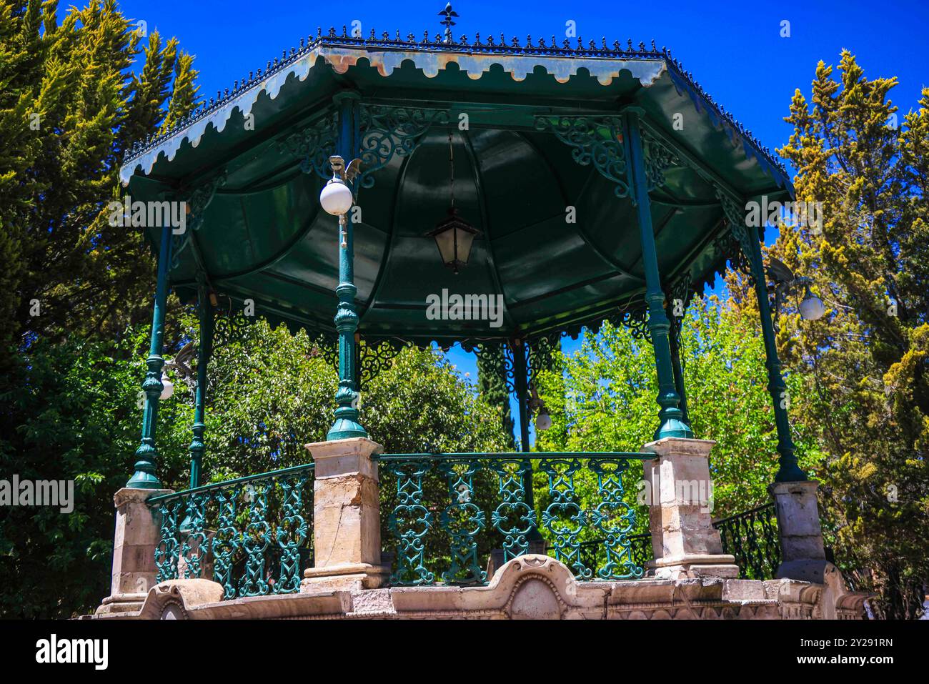 Sombrerete in Zacatecas state, Mexico (Photo by Luis Gutierrez/Norte Photo). Sombrerete en estado Zacatecas,Mexico (Foto por Luis Gutierrez/Norte Photo). Stock Photohttps://www.alamy.com/image-license-details/?v=1https://www.alamy.com/sombrerete-in-zacatecas-state-mexico-photo-by-luis-gutierreznorte-photo-sombrerete-en-estado-zacatecasmexico-foto-por-luis-gutierreznorte-photo-image621001577.html
RF2Y291RN–Sombrerete in Zacatecas state, Mexico (Photo by Luis Gutierrez/Norte Photo). Sombrerete en estado Zacatecas,Mexico (Foto por Luis Gutierrez/Norte Photo).
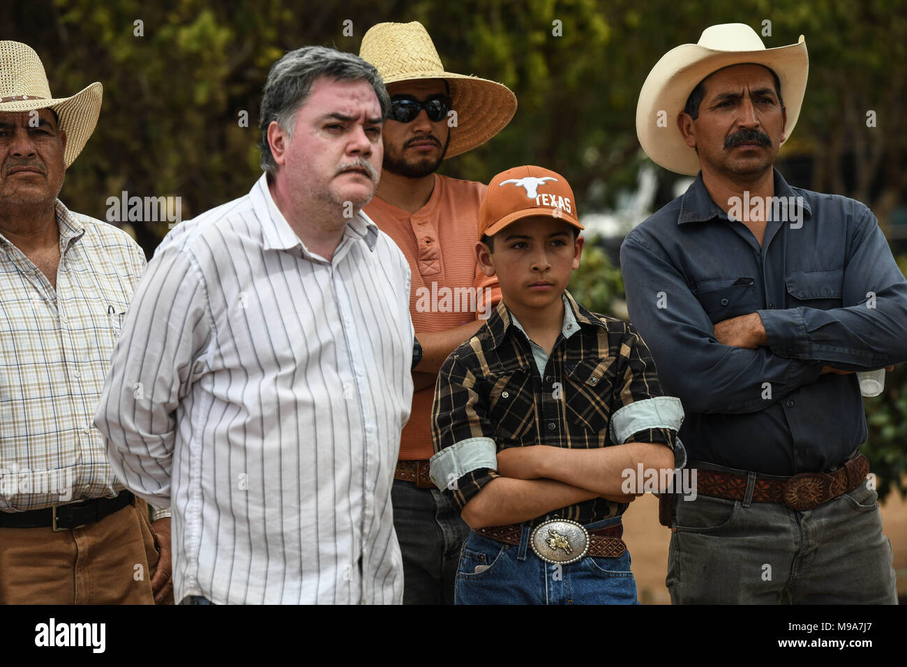 Colonia Gonzalez Ortega, Zacatecas, Mexico. 23rd Mar, 2018. Farmers listen to officials Friday as residents of rural Colonia Gonzalez Ortega, Zacatecas, rallied along with 20 other towns to become an independent municipality breaking out from Sombrerete in the hope of improving services such as water and infrastructure which are currently worse than some places in Sub-Saharan Africa. The central Mexican town is in many ways the quintessential Revolutionary Mexican town-- founded in 1928 -- and evolved into the ''grain silo'' of the country. It has suffered over the years due to half its pop Stock Photohttps://www.alamy.com/image-license-details/?v=1https://www.alamy.com/colonia-gonzalez-ortega-zacatecas-mexico-23rd-mar-2018-farmers-listen-to-officials-friday-as-residents-of-rural-colonia-gonzalez-ortega-zacatecas-rallied-along-with-20-other-towns-to-become-an-independent-municipality-breaking-out-from-sombrerete-in-the-hope-of-improving-services-such-as-water-and-infrastructure-which-are-currently-worse-than-some-places-in-sub-saharan-africa-the-central-mexican-town-is-in-many-ways-the-quintessential-revolutionary-mexican-town-founded-in-1928-and-evolved-into-the-grain-silo-of-the-country-it-has-suffered-over-the-years-due-to-half-its-pop-image177861103.html
RMM9A7J7–Colonia Gonzalez Ortega, Zacatecas, Mexico. 23rd Mar, 2018. Farmers listen to officials Friday as residents of rural Colonia Gonzalez Ortega, Zacatecas, rallied along with 20 other towns to become an independent municipality breaking out from Sombrerete in the hope of improving services such as water and infrastructure which are currently worse than some places in Sub-Saharan Africa. The central Mexican town is in many ways the quintessential Revolutionary Mexican town-- founded in 1928 -- and evolved into the ''grain silo'' of the country. It has suffered over the years due to half its pop
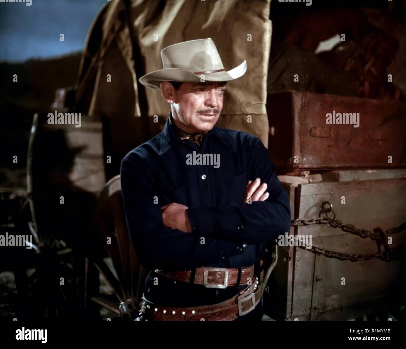 The Tall Men is a 1955 American western film directed by Raoul Walsh and starring Clark Gable, Jane Russell and Robert Ryan. The 20th Century Fox film was produced by William A. Bacher and William B. Hawks. Sydney Boehm and Frank S. Nugent wrote the screenplay, based on a novel by Heck Allen (as Clay Fisher). Filming took place in Sierra de Órganos National Park in the town of Sombrerete, Mexico Hollywood Photo Archive / MediaPunch Stock Photohttps://www.alamy.com/image-license-details/?v=1https://www.alamy.com/the-tall-men-is-a-1955-american-western-film-directed-by-raoul-walsh-and-starring-clark-gable-jane-russell-and-robert-ryan-the-20th-century-fox-film-was-produced-by-william-a-bacher-and-william-b-hawks-sydney-boehm-and-frank-s-nugent-wrote-the-screenplay-based-on-a-novel-by-heck-allen-as-clay-fisher-filming-took-place-in-sierra-de-rganos-national-park-in-the-town-of-sombrerete-mexico-hollywood-photo-archive-mediapunch-image224810219.html
RMR1MYMB–The Tall Men is a 1955 American western film directed by Raoul Walsh and starring Clark Gable, Jane Russell and Robert Ryan. The 20th Century Fox film was produced by William A. Bacher and William B. Hawks. Sydney Boehm and Frank S. Nugent wrote the screenplay, based on a novel by Heck Allen (as Clay Fisher). Filming took place in Sierra de Órganos National Park in the town of Sombrerete, Mexico Hollywood Photo Archive / MediaPunch
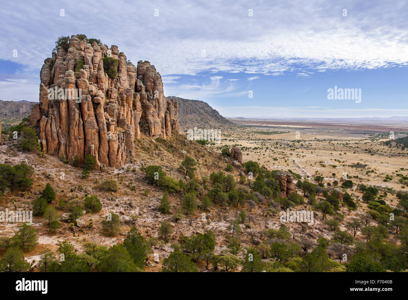 Sierra de Organos rises up from the plains in western Zacatecas, Mexico. Stock Photohttps://www.alamy.com/image-license-details/?v=1https://www.alamy.com/stock-photo-sierra-de-organos-rises-up-from-the-plains-in-western-zacatecas-mexico-90357579.html
RFF7040B–Sierra de Organos rises up from the plains in western Zacatecas, Mexico.
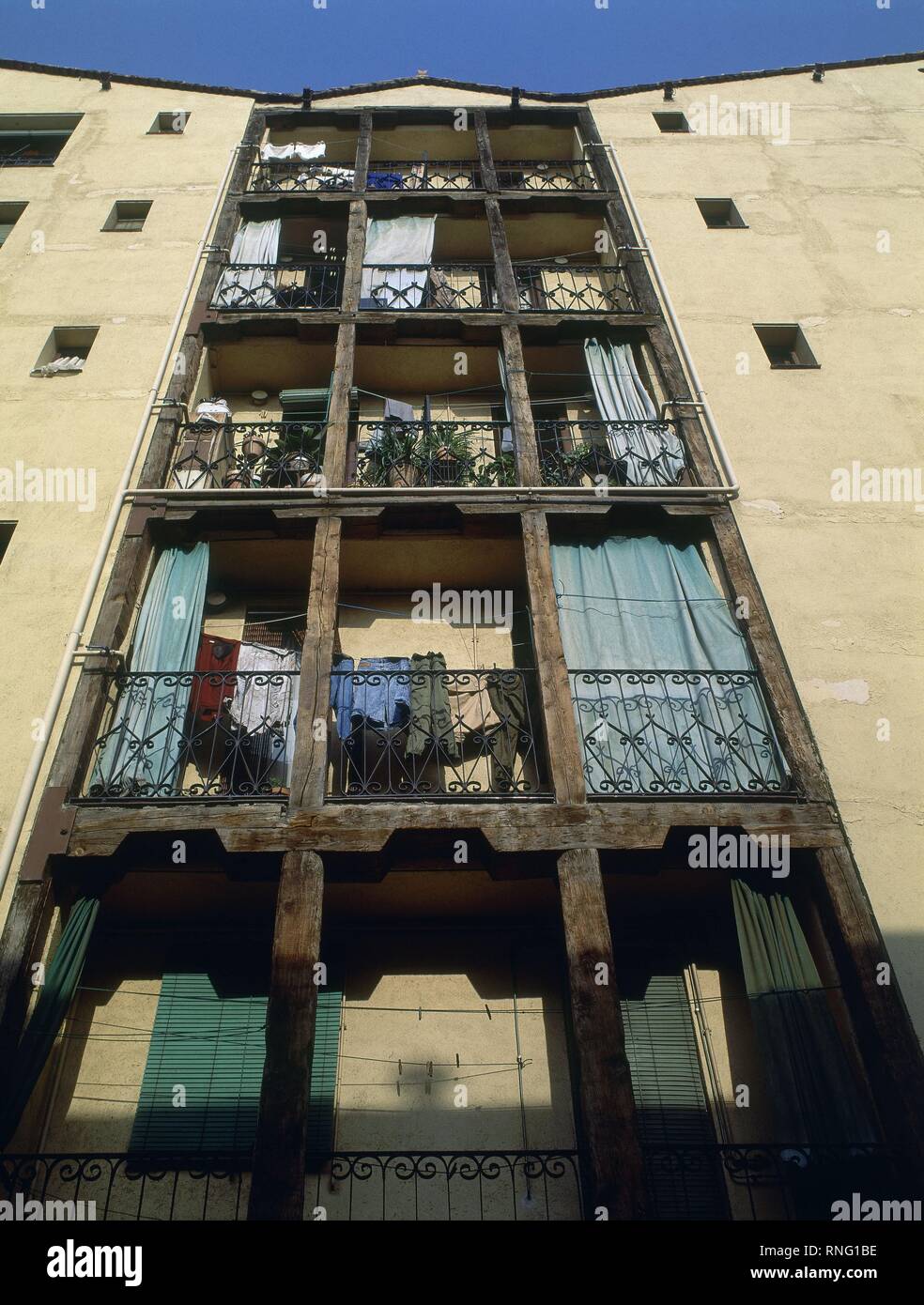 BALCONES CON ESTRUCTURA DE MADERA EN LA CASA DE LA VELA SITUADA EN LA CALLE SOMBRERETE DEL BARRIO DE LAVAPIES. Location: EXTERIOR. MADRID. SPAIN. Stock Photohttps://www.alamy.com/image-license-details/?v=1https://www.alamy.com/balcones-con-estructura-de-madera-en-la-casa-de-la-vela-situada-en-la-calle-sombrerete-del-barrio-de-lavapies-location-exterior-madrid-spain-image236994898.html
RMRNG1BE–BALCONES CON ESTRUCTURA DE MADERA EN LA CASA DE LA VELA SITUADA EN LA CALLE SOMBRERETE DEL BARRIO DE LAVAPIES. Location: EXTERIOR. MADRID. SPAIN.
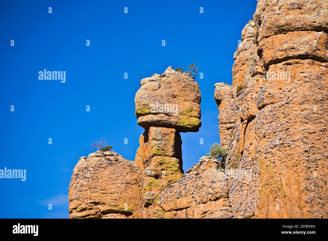 Low angle view of rock formations, Sierra De Organos, Sombrerete, Zacatecas State, Mexico Stock Photohttps://www.alamy.com/image-license-details/?v=1https://www.alamy.com/low-angle-view-of-rock-formations-sierra-de-organos-sombrerete-zacatecas-state-mexico-image405304361.html
RF2EFB5RN–Low angle view of rock formations, Sierra De Organos, Sombrerete, Zacatecas State, Mexico
 Sombrerete. 23 Aug 201839960631 Sombrerete Stock Photohttps://www.alamy.com/image-license-details/?v=1https://www.alamy.com/sombrerete-23-aug-201839960631-sombrerete-image352217244.html
RM2BD0TK8–Sombrerete. 23 Aug 201839960631 Sombrerete
 Tlaxcala, state of Mexico. Open Street Map Stock Photohttps://www.alamy.com/image-license-details/?v=1https://www.alamy.com/tlaxcala-state-of-mexico-open-street-map-image487887486.html
RF2K9N5D2–Tlaxcala, state of Mexico. Open Street Map
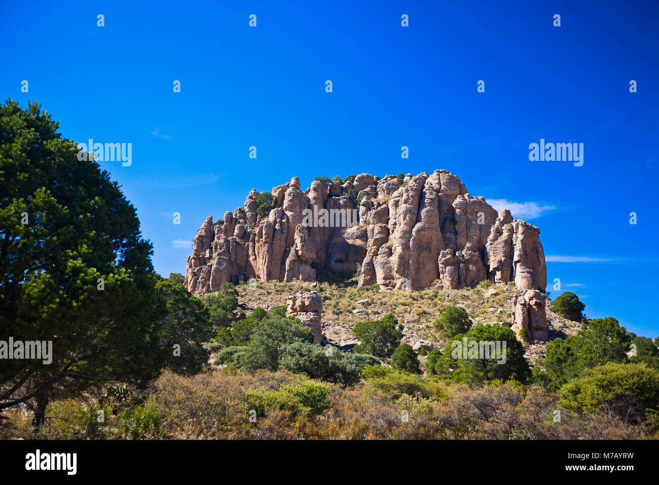 Low angle view of a rock formation, Sierra De Organos, Sombrerete, Zacatecas State, Mexico Stock Photohttps://www.alamy.com/image-license-details/?v=1https://www.alamy.com/stock-photo-low-angle-view-of-a-rock-formation-sierra-de-organos-sombrerete-zacatecas-176647629.html
RFM7AYRW–Low angle view of a rock formation, Sierra De Organos, Sombrerete, Zacatecas State, Mexico
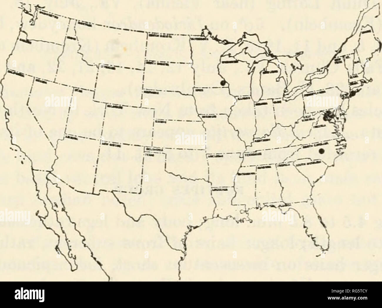 . Bulletin - United States National Museum. Science. ceropalinae: tribe ceropalini 267 Coloration as in (7. rugata except that there is usually a small white spot on the scutellum and that the tibial spurs are a little paler. Specimens (19c?*, 119): From Georgia (Bainbridge); Kansas (Bald- win, Manhattan, and Pottawatomie County); Louisiana (Opelousas); Texas (Fedor, "Neuecest," New Braunfels, Kosser, and Williamson County); Virginia (Falls Chiu-ch); Mexico (15 km. east of Sombrerete in Zacatecas); and Panama (La Chorrera). Dates of capture range from Apr. 12 at La Chorrera, Panamd, Stock Photohttps://www.alamy.com/image-license-details/?v=1https://www.alamy.com/bulletin-united-states-national-museum-science-ceropalinae-tribe-ceropalini-267-coloration-as-in-7-rugata-except-that-there-is-usually-a-small-white-spot-on-the-scutellum-and-that-the-tibial-spurs-are-a-little-paler-specimens-19c-119-from-georgia-bainbridge-kansas-bald-win-manhattan-and-pottawatomie-county-louisiana-opelousas-texas-fedor-quotneuecestquot-new-braunfels-kosser-and-williamson-county-virginia-falls-chiu-ch-mexico-15-km-east-of-sombrerete-in-zacatecas-and-panama-la-chorrera-dates-of-capture-range-from-apr-12-at-la-chorrera-panamd-image233698219.html
RMRG5TCY–. Bulletin - United States National Museum. Science. ceropalinae: tribe ceropalini 267 Coloration as in (7. rugata except that there is usually a small white spot on the scutellum and that the tibial spurs are a little paler. Specimens (19c?*, 119): From Georgia (Bainbridge); Kansas (Bald- win, Manhattan, and Pottawatomie County); Louisiana (Opelousas); Texas (Fedor, "Neuecest," New Braunfels, Kosser, and Williamson County); Virginia (Falls Chiu-ch); Mexico (15 km. east of Sombrerete in Zacatecas); and Panama (La Chorrera). Dates of capture range from Apr. 12 at La Chorrera, Panamd,
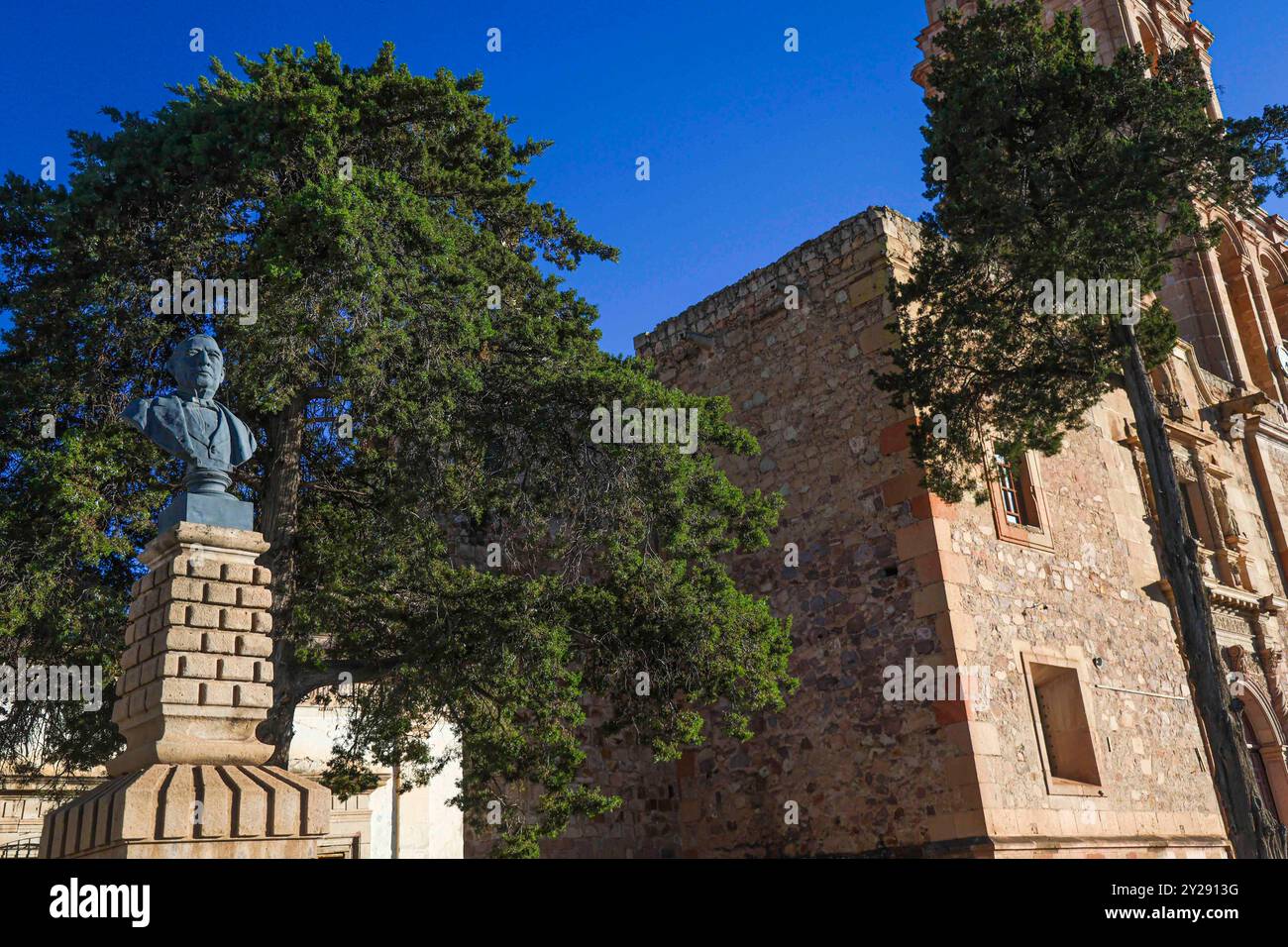 Sombrerete in Zacatecas state, Mexico (Photo by Luis Gutierrez/Norte Photo). Sombrerete en estado Zacatecas,Mexico (Foto por Luis Gutierrez/Norte Photo). Stock Photohttps://www.alamy.com/image-license-details/?v=1https://www.alamy.com/sombrerete-in-zacatecas-state-mexico-photo-by-luis-gutierreznorte-photo-sombrerete-en-estado-zacatecasmexico-foto-por-luis-gutierreznorte-photo-image621001012.html
RF2Y2913G–Sombrerete in Zacatecas state, Mexico (Photo by Luis Gutierrez/Norte Photo). Sombrerete en estado Zacatecas,Mexico (Foto por Luis Gutierrez/Norte Photo).
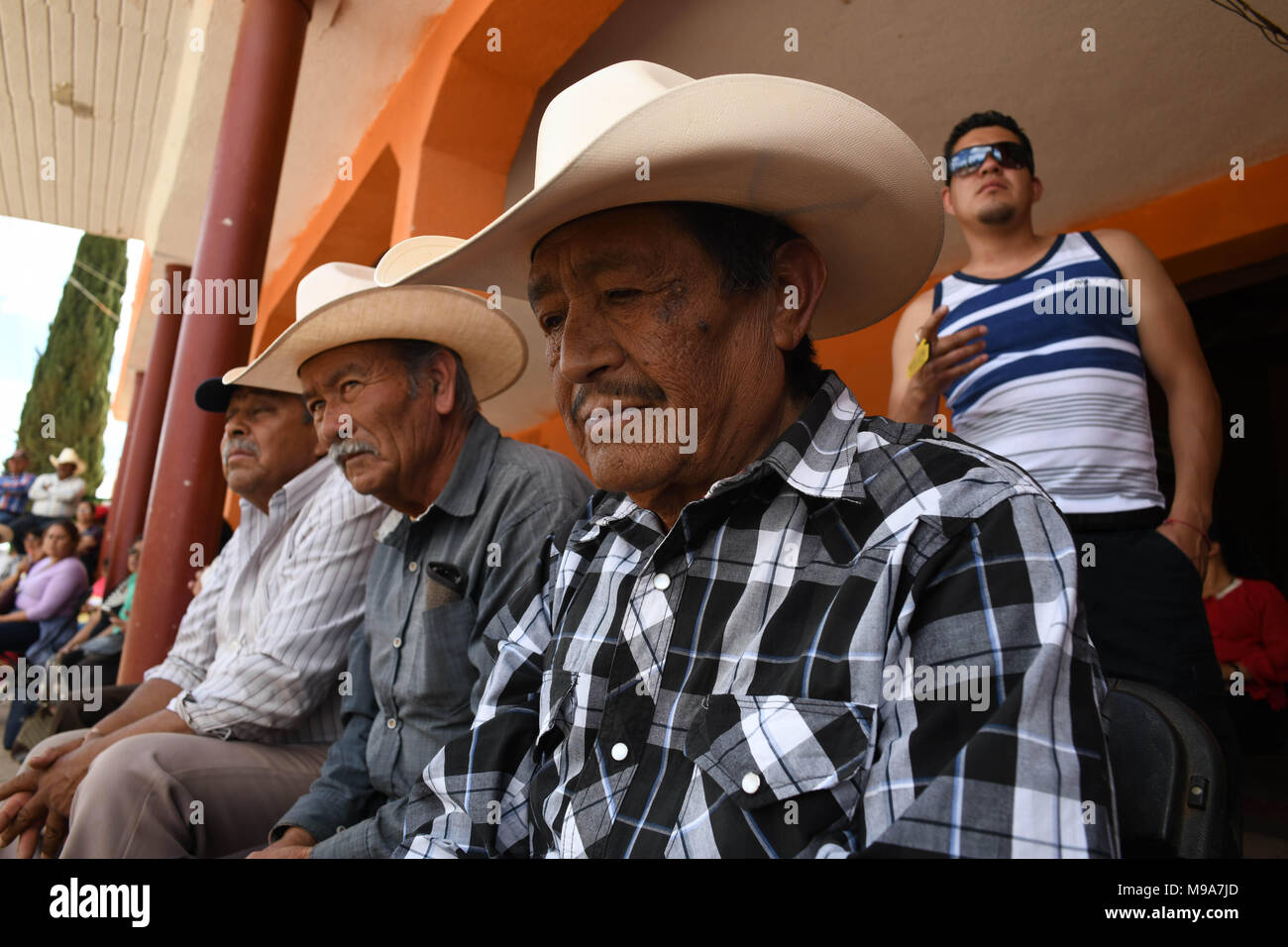 Colonia Gonzalez Ortega, Zacatecas, Mexico. 23rd Mar, 2018. Farmers listen to officials Friday as residents of rural Colonia Gonzalez Ortega, Zacatecas, rallied along with 20 other towns to become an independent municipality breaking out from Sombrerete in the hope of improving services such as water and infrastructure which are currently worse than some places in Sub-Saharan Africa. The central Mexican town is in many ways the quintessential Revolutionary Mexican town-- founded in 1928 -- and evolved into the ''grain silo'' of the country. It has suffered over the years due to half its pop Stock Photohttps://www.alamy.com/image-license-details/?v=1https://www.alamy.com/colonia-gonzalez-ortega-zacatecas-mexico-23rd-mar-2018-farmers-listen-to-officials-friday-as-residents-of-rural-colonia-gonzalez-ortega-zacatecas-rallied-along-with-20-other-towns-to-become-an-independent-municipality-breaking-out-from-sombrerete-in-the-hope-of-improving-services-such-as-water-and-infrastructure-which-are-currently-worse-than-some-places-in-sub-saharan-africa-the-central-mexican-town-is-in-many-ways-the-quintessential-revolutionary-mexican-town-founded-in-1928-and-evolved-into-the-grain-silo-of-the-country-it-has-suffered-over-the-years-due-to-half-its-pop-image177861109.html
RMM9A7JD–Colonia Gonzalez Ortega, Zacatecas, Mexico. 23rd Mar, 2018. Farmers listen to officials Friday as residents of rural Colonia Gonzalez Ortega, Zacatecas, rallied along with 20 other towns to become an independent municipality breaking out from Sombrerete in the hope of improving services such as water and infrastructure which are currently worse than some places in Sub-Saharan Africa. The central Mexican town is in many ways the quintessential Revolutionary Mexican town-- founded in 1928 -- and evolved into the ''grain silo'' of the country. It has suffered over the years due to half its pop
 The Tall Men is a 1955 American western film directed by Raoul Walsh and starring Clark Gable, Jane Russell and Robert Ryan. The 20th Century Fox film was produced by William A. Bacher and William B. Hawks. Sydney Boehm and Frank S. Nugent wrote the screenplay, based on a novel by Heck Allen (as Clay Fisher). Filming took place in Sierra de Órganos National Park in the town of Sombrerete, Mexico Hollywood Photo Archive / MediaPunch Stock Photohttps://www.alamy.com/image-license-details/?v=1https://www.alamy.com/the-tall-men-is-a-1955-american-western-film-directed-by-raoul-walsh-and-starring-clark-gable-jane-russell-and-robert-ryan-the-20th-century-fox-film-was-produced-by-william-a-bacher-and-william-b-hawks-sydney-boehm-and-frank-s-nugent-wrote-the-screenplay-based-on-a-novel-by-heck-allen-as-clay-fisher-filming-took-place-in-sierra-de-rganos-national-park-in-the-town-of-sombrerete-mexico-hollywood-photo-archive-mediapunch-image224810227.html
RMR1MYMK–The Tall Men is a 1955 American western film directed by Raoul Walsh and starring Clark Gable, Jane Russell and Robert Ryan. The 20th Century Fox film was produced by William A. Bacher and William B. Hawks. Sydney Boehm and Frank S. Nugent wrote the screenplay, based on a novel by Heck Allen (as Clay Fisher). Filming took place in Sierra de Órganos National Park in the town of Sombrerete, Mexico Hollywood Photo Archive / MediaPunch
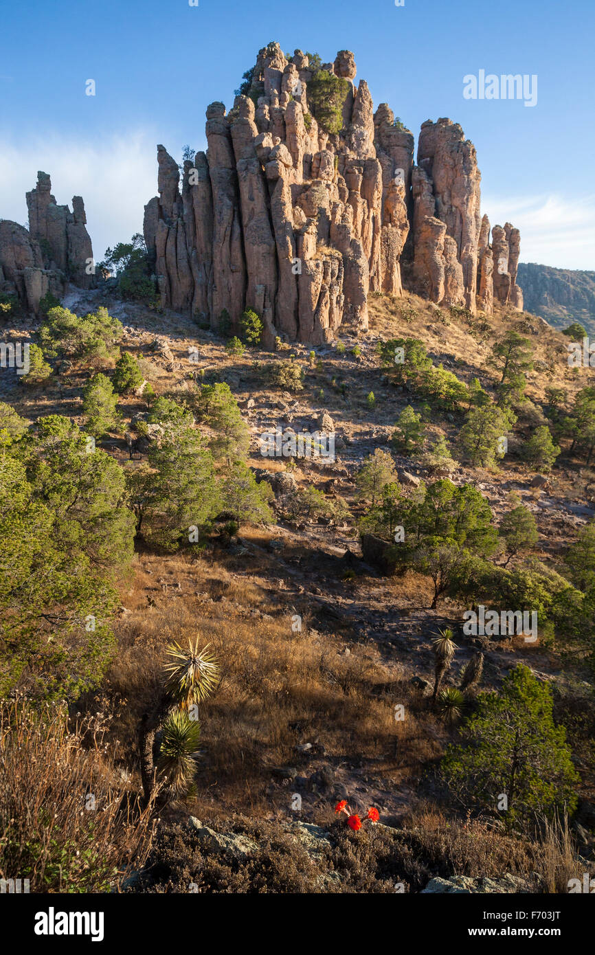 Cactus flowers near the Tercer Cañada in the Sierra de Organos, Zacatecas, Mexico. Stock Photohttps://www.alamy.com/image-license-details/?v=1https://www.alamy.com/stock-photo-cactus-flowers-near-the-tercer-caada-in-the-sierra-de-organos-zacatecas-90357312.html
RFF703JT–Cactus flowers near the Tercer Cañada in the Sierra de Organos, Zacatecas, Mexico.
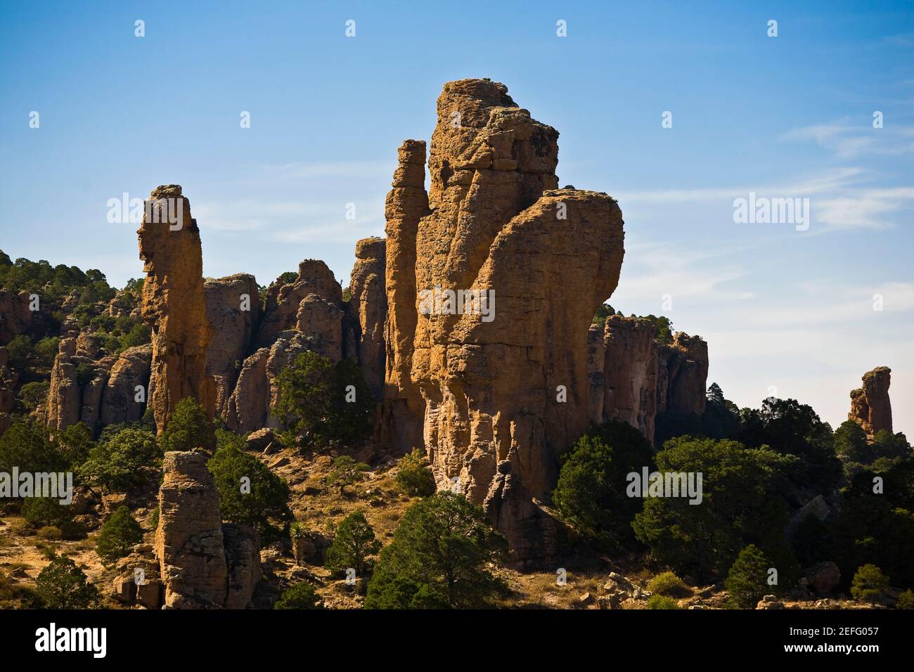 Rock formations in a forest, Sierra De Organos, Sombrerete, Zacatecas State, Mexico Stock Photohttps://www.alamy.com/image-license-details/?v=1https://www.alamy.com/rock-formations-in-a-forest-sierra-de-organos-sombrerete-zacatecas-state-mexico-image405409683.html
RF2EFG057–Rock formations in a forest, Sierra De Organos, Sombrerete, Zacatecas State, Mexico
 Sombrerete. 23 Aug 201839960631 Sombrerete Stock Photohttps://www.alamy.com/image-license-details/?v=1https://www.alamy.com/sombrerete-23-aug-201839960631-sombrerete-image352217243.html
RM2BD0TK7–Sombrerete. 23 Aug 201839960631 Sombrerete
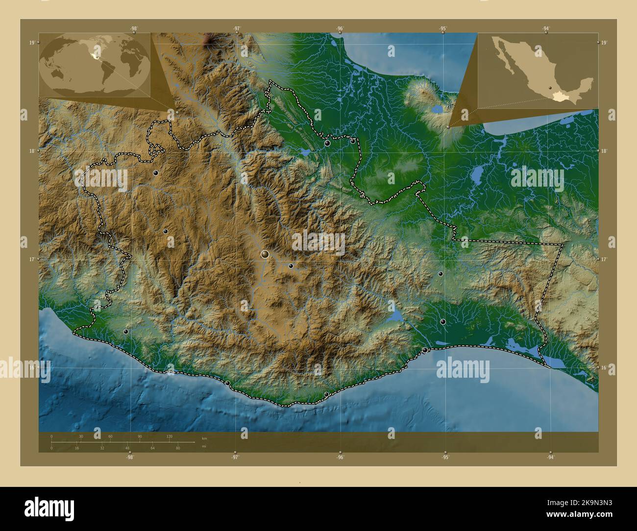 Oaxaca, state of Mexico. Colored elevation map with lakes and rivers. Locations of major cities of the region. Corner auxiliary location maps Stock Photohttps://www.alamy.com/image-license-details/?v=1https://www.alamy.com/oaxaca-state-of-mexico-colored-elevation-map-with-lakes-and-rivers-locations-of-major-cities-of-the-region-corner-auxiliary-location-maps-image487886143.html
RF2K9N3N3–Oaxaca, state of Mexico. Colored elevation map with lakes and rivers. Locations of major cities of the region. Corner auxiliary location maps
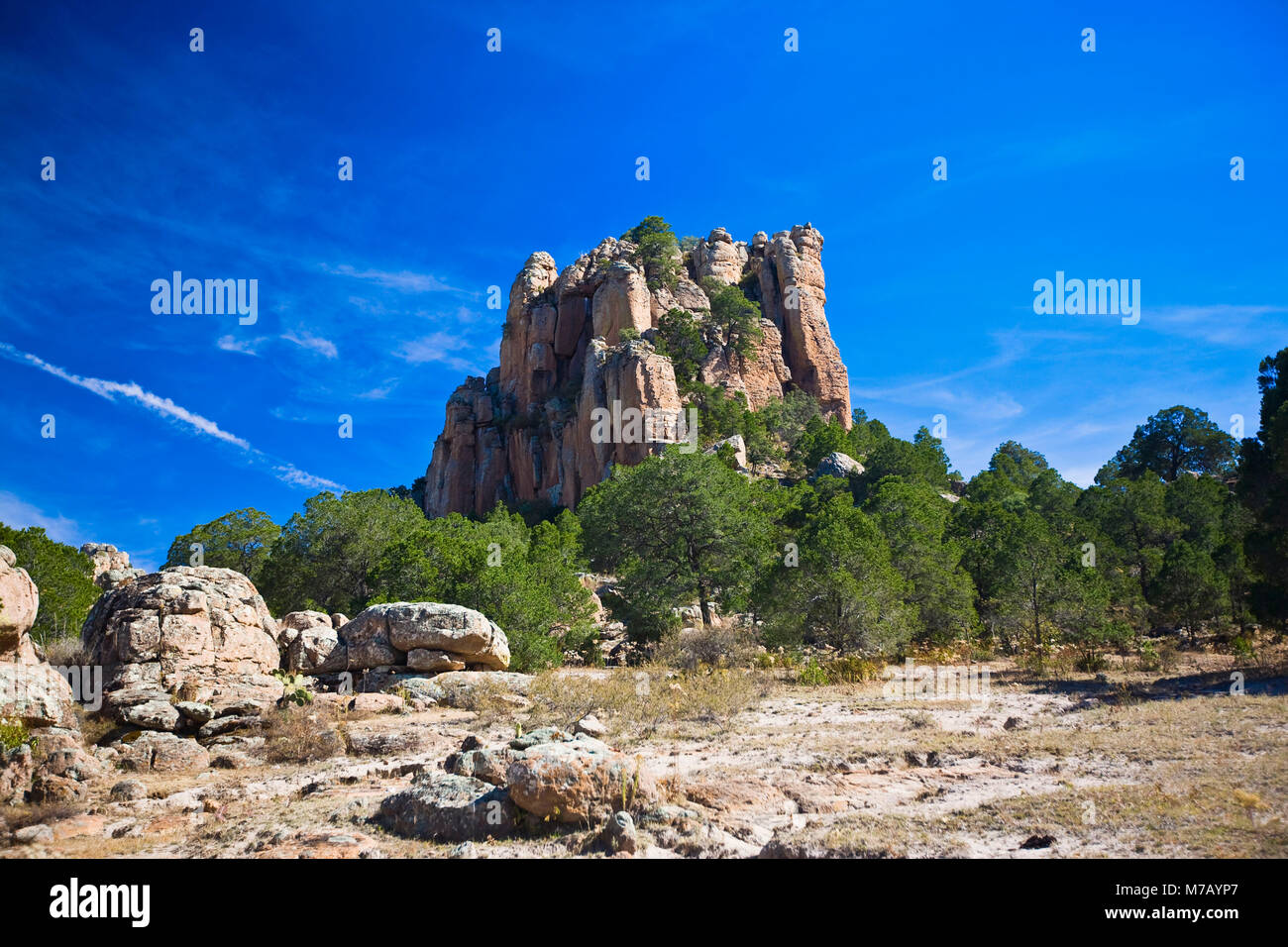 Low angle view of a rock formation, Sierra De Organos, Sombrerete, Zacatecas State, Mexico Stock Photohttps://www.alamy.com/image-license-details/?v=1https://www.alamy.com/stock-photo-low-angle-view-of-a-rock-formation-sierra-de-organos-sombrerete-zacatecas-176647583.html
RFM7AYP7–Low angle view of a rock formation, Sierra De Organos, Sombrerete, Zacatecas State, Mexico
 . Bulletin - United States National Museum. Science. 266 U. S. NATIONAL MUSEUM BULLETIN 209 Paratypes (28 c?', 459): From California (Claremont, Davis, Geyserville, Laguna Beach, La Jolla, Redwood City, and Tracy); Louisiana (Opelousas); North Carolina (Raleigh); Oregon (Corvallis, Shaniko, 10 miles south of The Dalles, and Summer Lake in Lake County); Texas (Brazos County, Fedor, and Willis); Utah (Skull Valley); Virginia; Wyoming (Weston County); and Mexico (Teoti- huacdn in "Pjt." and 15 km. east of Sombrerete in Zacatecas). Collection dates are rather evenly distributed from June Stock Photohttps://www.alamy.com/image-license-details/?v=1https://www.alamy.com/bulletin-united-states-national-museum-science-266-u-s-national-museum-bulletin-209-paratypes-28-c-459-from-california-claremont-davis-geyserville-laguna-beach-la-jolla-redwood-city-and-tracy-louisiana-opelousas-north-carolina-raleigh-oregon-corvallis-shaniko-10-miles-south-of-the-dalles-and-summer-lake-in-lake-county-texas-brazos-county-fedor-and-willis-utah-skull-valley-virginia-wyoming-weston-county-and-mexico-teoti-huacdn-in-quotpjtquot-and-15-km-east-of-sombrerete-in-zacatecas-collection-dates-are-rather-evenly-distributed-from-june-image233698227.html
RMRG5TD7–. Bulletin - United States National Museum. Science. 266 U. S. NATIONAL MUSEUM BULLETIN 209 Paratypes (28 c?', 459): From California (Claremont, Davis, Geyserville, Laguna Beach, La Jolla, Redwood City, and Tracy); Louisiana (Opelousas); North Carolina (Raleigh); Oregon (Corvallis, Shaniko, 10 miles south of The Dalles, and Summer Lake in Lake County); Texas (Brazos County, Fedor, and Willis); Utah (Skull Valley); Virginia; Wyoming (Weston County); and Mexico (Teoti- huacdn in "Pjt." and 15 km. east of Sombrerete in Zacatecas). Collection dates are rather evenly distributed from June
 Sombrerete in Zacatecas state, Mexico (Photo by Luis Gutierrez/Norte Photo). Sombrerete en estado Zacatecas,Mexico (Foto por Luis Gutierrez/Norte Photo). Stock Photohttps://www.alamy.com/image-license-details/?v=1https://www.alamy.com/sombrerete-in-zacatecas-state-mexico-photo-by-luis-gutierreznorte-photo-sombrerete-en-estado-zacatecasmexico-foto-por-luis-gutierreznorte-photo-image621000881.html
RF2Y290XW–Sombrerete in Zacatecas state, Mexico (Photo by Luis Gutierrez/Norte Photo). Sombrerete en estado Zacatecas,Mexico (Foto por Luis Gutierrez/Norte Photo).
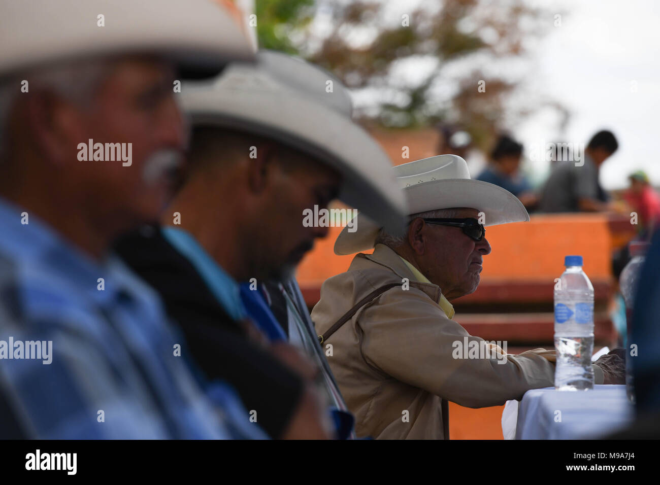 Colonia Gonzalez Ortega, Zacatecas, Mexico. 23rd Mar, 2018. Farmers listen to officials Friday as residents of rural Colonia Gonzalez Ortega, Zacatecas, rallied along with 20 other towns to become an independent municipality breaking out from Sombrerete in the hope of improving services such as water and infrastructure which are currently worse than some places in Sub-Saharan Africa. The central Mexican town is in many ways the quintessential Revolutionary Mexican town-- founded in 1928 -- and evolved into the ''grain silo'' of the country. It has suffered over the years due to half its pop Stock Photohttps://www.alamy.com/image-license-details/?v=1https://www.alamy.com/colonia-gonzalez-ortega-zacatecas-mexico-23rd-mar-2018-farmers-listen-to-officials-friday-as-residents-of-rural-colonia-gonzalez-ortega-zacatecas-rallied-along-with-20-other-towns-to-become-an-independent-municipality-breaking-out-from-sombrerete-in-the-hope-of-improving-services-such-as-water-and-infrastructure-which-are-currently-worse-than-some-places-in-sub-saharan-africa-the-central-mexican-town-is-in-many-ways-the-quintessential-revolutionary-mexican-town-founded-in-1928-and-evolved-into-the-grain-silo-of-the-country-it-has-suffered-over-the-years-due-to-half-its-pop-image177861100.html
RMM9A7J4–Colonia Gonzalez Ortega, Zacatecas, Mexico. 23rd Mar, 2018. Farmers listen to officials Friday as residents of rural Colonia Gonzalez Ortega, Zacatecas, rallied along with 20 other towns to become an independent municipality breaking out from Sombrerete in the hope of improving services such as water and infrastructure which are currently worse than some places in Sub-Saharan Africa. The central Mexican town is in many ways the quintessential Revolutionary Mexican town-- founded in 1928 -- and evolved into the ''grain silo'' of the country. It has suffered over the years due to half its pop
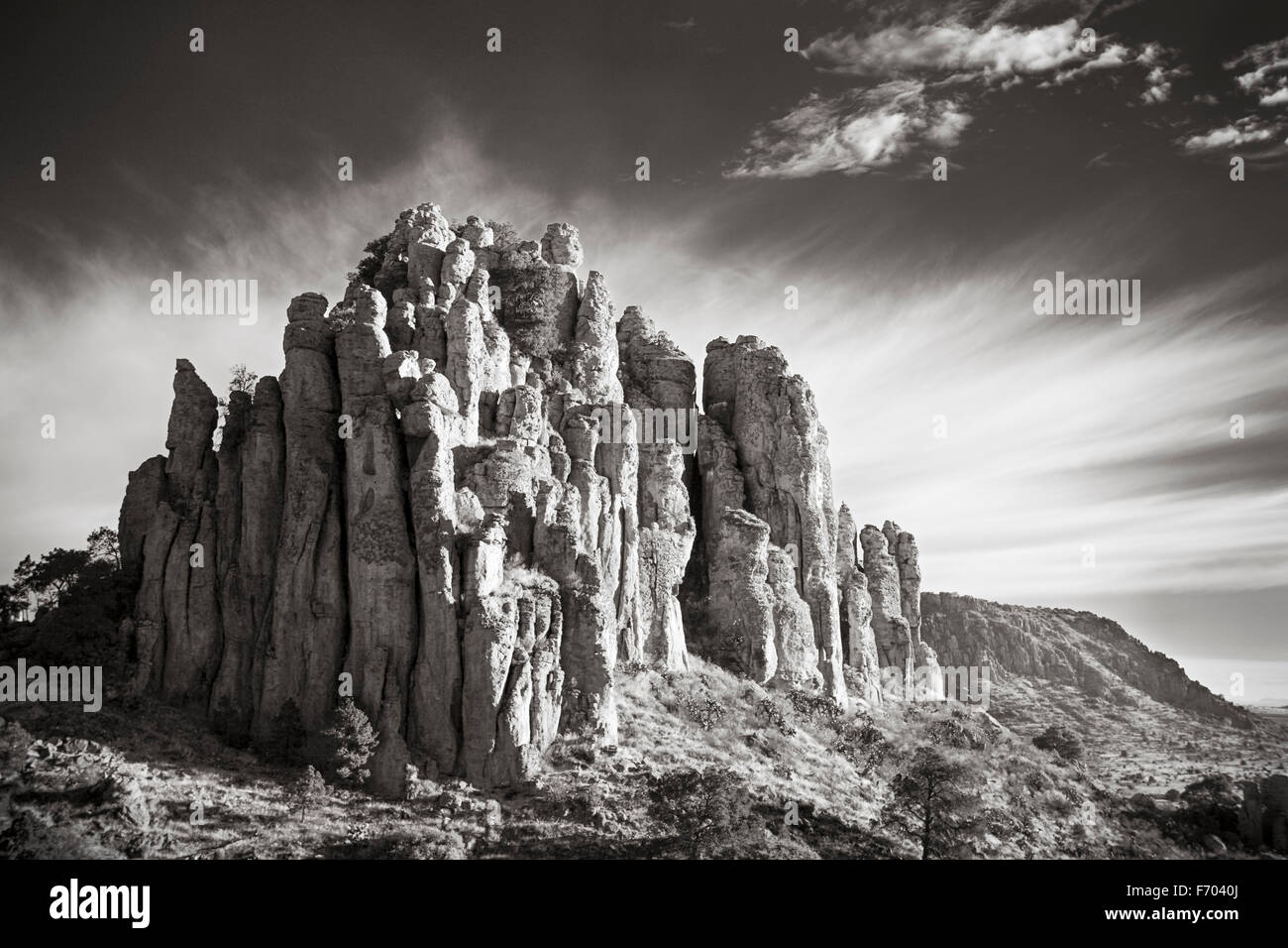 Tercer Cañada in the Sierra de Organos, Zacatecas, Mexico. Stock Photohttps://www.alamy.com/image-license-details/?v=1https://www.alamy.com/stock-photo-tercer-caada-in-the-sierra-de-organos-zacatecas-mexico-90357586.html
RFF7040J–Tercer Cañada in the Sierra de Organos, Zacatecas, Mexico.
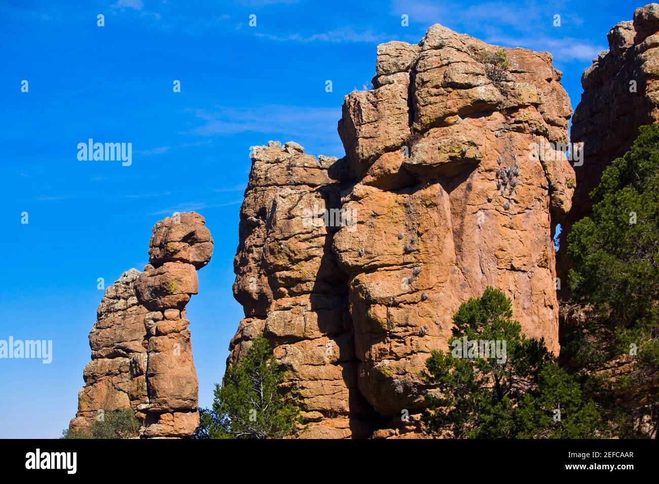 Low angle view of rock formations, Sierra De Organos, Sombrerete, Zacatecas State, Mexico Stock Photohttps://www.alamy.com/image-license-details/?v=1https://www.alamy.com/low-angle-view-of-rock-formations-sierra-de-organos-sombrerete-zacatecas-state-mexico-image405329871.html
RF2EFCAAR–Low angle view of rock formations, Sierra De Organos, Sombrerete, Zacatecas State, Mexico
 AS09-22-3365 - Apollo 9 - Apollo 9 Mission image - Earth Observations - Mexico; Scope and content: The original database describes this as: Description: Vertical Earth Observation taken by the Apollo 9 crew. View is of Mexico including the Rio Grande, Sombrerete and Zacatecas. Film magazine was C, film type was SO-368 Ektachrome with 0.460 - 0.710 micrometers film / filter transmittance response and haze filter, 80mm lens. Latitude was 23.40 N by Longitude 103.22 W, Overlap was 80%%, Altitude miles were 105 and cloud cover was 13%%. Subject Terms: Apollo 9 Flight, Earth Observations (From Sp Stock Photohttps://www.alamy.com/image-license-details/?v=1https://www.alamy.com/as09-22-3365-apollo-9-apollo-9-mission-image-earth-observations-mexico-scope-and-content-the-original-database-describes-this-as-description-vertical-earth-observation-taken-by-the-apollo-9-crew-view-is-of-mexico-including-the-rio-grande-sombrerete-and-zacatecas-film-magazine-was-c-film-type-was-so-368-ektachrome-with-0460-0710-micrometers-film-filter-transmittance-response-and-haze-filter-80mm-lens-latitude-was-2340-n-by-longitude-10322-w-overlap-was-80-altitude-miles-were-105-and-cloud-cover-was-13-subject-terms-apollo-9-flight-earth-observations-from-sp-image360669171.html
RM2BXNW5R–AS09-22-3365 - Apollo 9 - Apollo 9 Mission image - Earth Observations - Mexico; Scope and content: The original database describes this as: Description: Vertical Earth Observation taken by the Apollo 9 crew. View is of Mexico including the Rio Grande, Sombrerete and Zacatecas. Film magazine was C, film type was SO-368 Ektachrome with 0.460 - 0.710 micrometers film / filter transmittance response and haze filter, 80mm lens. Latitude was 23.40 N by Longitude 103.22 W, Overlap was 80%%, Altitude miles were 105 and cloud cover was 13%%. Subject Terms: Apollo 9 Flight, Earth Observations (From Sp
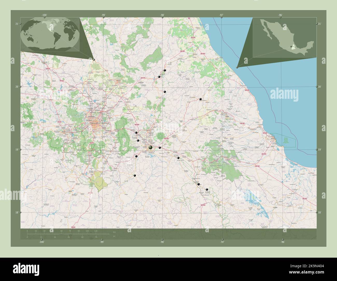 Puebla, state of Mexico. Open Street Map. Locations of major cities of the region. Corner auxiliary location maps Stock Photohttps://www.alamy.com/image-license-details/?v=1https://www.alamy.com/puebla-state-of-mexico-open-street-map-locations-of-major-cities-of-the-region-corner-auxiliary-location-maps-image487886340.html
RF2K9N404–Puebla, state of Mexico. Open Street Map. Locations of major cities of the region. Corner auxiliary location maps
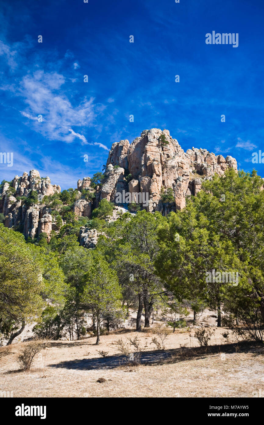 Low angle view of trees in front of rock formations, Sierra De Organos, Sombrerete, Zacatecas State, Mexico Stock Photohttps://www.alamy.com/image-license-details/?v=1https://www.alamy.com/stock-photo-low-angle-view-of-trees-in-front-of-rock-formations-sierra-de-organos-176647665.html
RFM7AYW5–Low angle view of trees in front of rock formations, Sierra De Organos, Sombrerete, Zacatecas State, Mexico
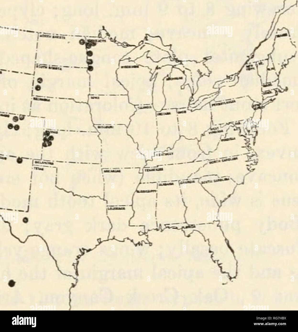 . Bulletin - United States National Museum. Science. —n rf T !i r^^-^ v.t!i^^.-,J Figure 33.—Localities for Cryptocheilus terminatum terminatum. west of Fort Davis); Washington (Pullman); Wyoming (Chimney Rock); and Mexico (Sombrerete in Zacatecas and Teotihuacdn). Most collection dates are in July and August. Unusually early and late dates are: June 24 at Flagstaff, Ariz.; June 29 at Clear Creek, 6,000 to 7,000 ft., Jefferson County, Colo.; July 4 at 30 miles west of Fort Davis, Tex.; July 9 in Sunnyside Canyon, Huachuca Mts., Ariz.; Aug. 26 at Lancaster, Miim.; Aug. 27 at Home, Colo,; Sept. Stock Photohttps://www.alamy.com/image-license-details/?v=1https://www.alamy.com/bulletin-united-states-national-museum-science-n-rf-t-!i-r-vt!i-j-figure-33localities-for-cryptocheilus-terminatum-terminatum-west-of-fort-davis-washington-pullman-wyoming-chimney-rock-and-mexico-sombrerete-in-zacatecas-and-teotihuacdn-most-collection-dates-are-in-july-and-august-unusually-early-and-late-dates-are-june-24-at-flagstaff-ariz-june-29-at-clear-creek-6000-to-7000-ft-jefferson-county-colo-july-4-at-30-miles-west-of-fort-davis-tex-july-9-in-sunnyside-canyon-huachuca-mts-ariz-aug-26-at-lancaster-miim-aug-27-at-home-colo-sept-image233736606.html
RMRG7HBX–. Bulletin - United States National Museum. Science. —n rf T !i r^^-^ v.t!i^^.-,J Figure 33.—Localities for Cryptocheilus terminatum terminatum. west of Fort Davis); Washington (Pullman); Wyoming (Chimney Rock); and Mexico (Sombrerete in Zacatecas and Teotihuacdn). Most collection dates are in July and August. Unusually early and late dates are: June 24 at Flagstaff, Ariz.; June 29 at Clear Creek, 6,000 to 7,000 ft., Jefferson County, Colo.; July 4 at 30 miles west of Fort Davis, Tex.; July 9 in Sunnyside Canyon, Huachuca Mts., Ariz.; Aug. 26 at Lancaster, Miim.; Aug. 27 at Home, Colo,; Sept.
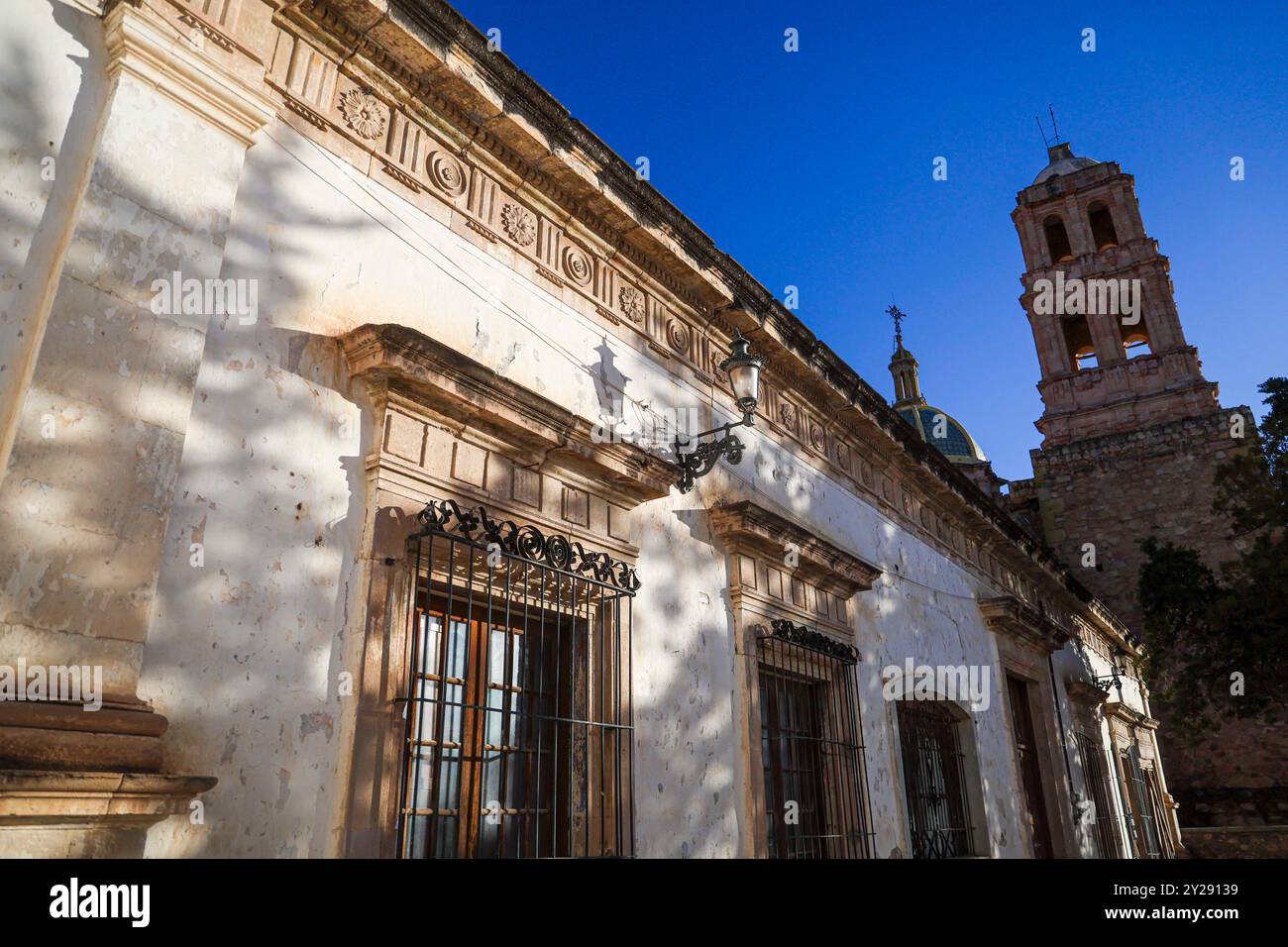 Sombrerete in Zacatecas state, Mexico (Photo by Luis Gutierrez/Norte Photo). Sombrerete en estado Zacatecas,Mexico (Foto por Luis Gutierrez/Norte Photo). Stock Photohttps://www.alamy.com/image-license-details/?v=1https://www.alamy.com/sombrerete-in-zacatecas-state-mexico-photo-by-luis-gutierreznorte-photo-sombrerete-en-estado-zacatecasmexico-foto-por-luis-gutierreznorte-photo-image621001005.html
RF2Y29139–Sombrerete in Zacatecas state, Mexico (Photo by Luis Gutierrez/Norte Photo). Sombrerete en estado Zacatecas,Mexico (Foto por Luis Gutierrez/Norte Photo).
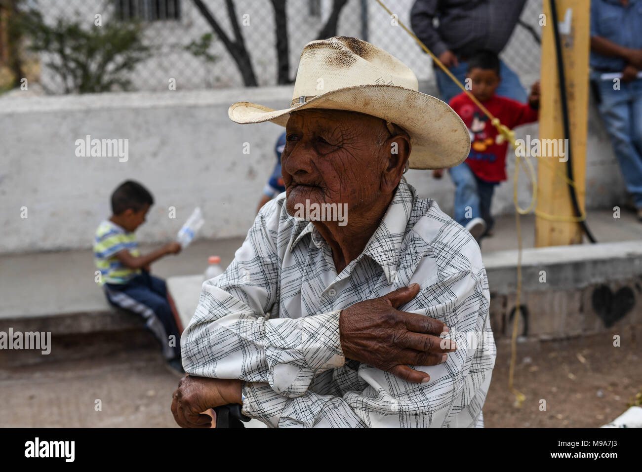 Colonia Gonzalez Ortega, Zacatecas, Mexico. 23rd Mar, 2018. Farmers listen to officials Friday as residents of rural Colonia Gonzalez Ortega, Zacatecas, rallied along with 20 other towns to become an independent municipality breaking out from Sombrerete in the hope of improving services such as water and infrastructure which are currently worse than some places in Sub-Saharan Africa. The central Mexican town is in many ways the quintessential Revolutionary Mexican town-- founded in 1928 -- and evolved into the ''grain silo'' of the country. It has suffered over the years due to half its pop Stock Photohttps://www.alamy.com/image-license-details/?v=1https://www.alamy.com/colonia-gonzalez-ortega-zacatecas-mexico-23rd-mar-2018-farmers-listen-to-officials-friday-as-residents-of-rural-colonia-gonzalez-ortega-zacatecas-rallied-along-with-20-other-towns-to-become-an-independent-municipality-breaking-out-from-sombrerete-in-the-hope-of-improving-services-such-as-water-and-infrastructure-which-are-currently-worse-than-some-places-in-sub-saharan-africa-the-central-mexican-town-is-in-many-ways-the-quintessential-revolutionary-mexican-town-founded-in-1928-and-evolved-into-the-grain-silo-of-the-country-it-has-suffered-over-the-years-due-to-half-its-pop-image177861099.html
RMM9A7J3–Colonia Gonzalez Ortega, Zacatecas, Mexico. 23rd Mar, 2018. Farmers listen to officials Friday as residents of rural Colonia Gonzalez Ortega, Zacatecas, rallied along with 20 other towns to become an independent municipality breaking out from Sombrerete in the hope of improving services such as water and infrastructure which are currently worse than some places in Sub-Saharan Africa. The central Mexican town is in many ways the quintessential Revolutionary Mexican town-- founded in 1928 -- and evolved into the ''grain silo'' of the country. It has suffered over the years due to half its pop
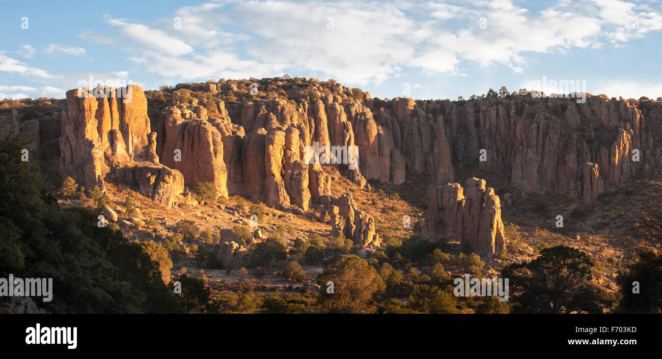 Rock formation under cirrus clouds in Sierra de Organos National Park, Zacatecas, Mexico. Stock Photohttps://www.alamy.com/image-license-details/?v=1https://www.alamy.com/stock-photo-rock-formation-under-cirrus-clouds-in-sierra-de-organos-national-park-90357329.html
RFF703KD–Rock formation under cirrus clouds in Sierra de Organos National Park, Zacatecas, Mexico.
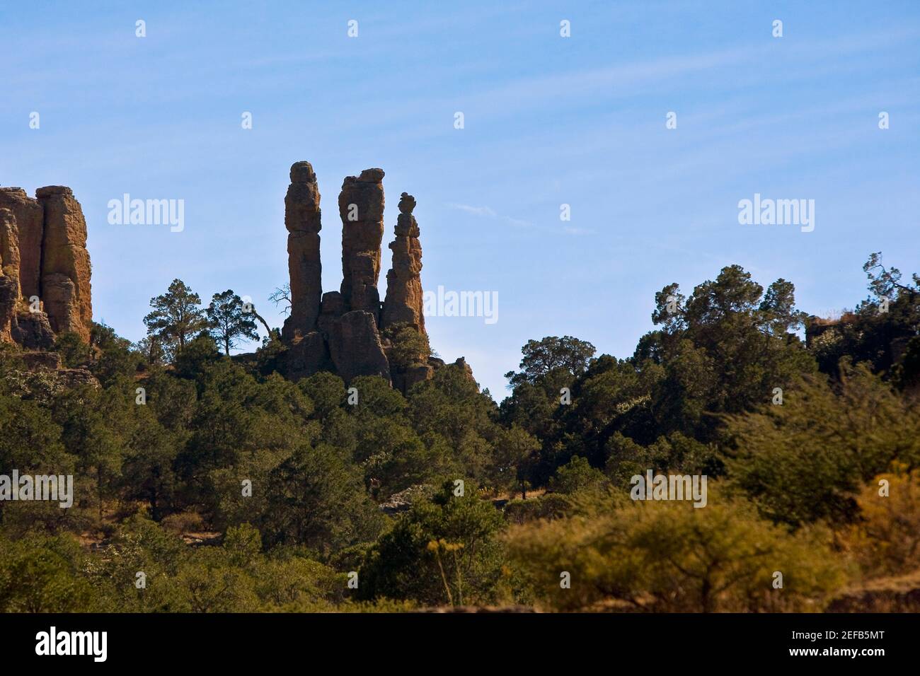 Rock formations in a forest, Sierra De Organos, Sombrerete, Zacatecas State, Mexico Stock Photohttps://www.alamy.com/image-license-details/?v=1https://www.alamy.com/rock-formations-in-a-forest-sierra-de-organos-sombrerete-zacatecas-state-mexico-image405304280.html
RF2EFB5MT–Rock formations in a forest, Sierra De Organos, Sombrerete, Zacatecas State, Mexico
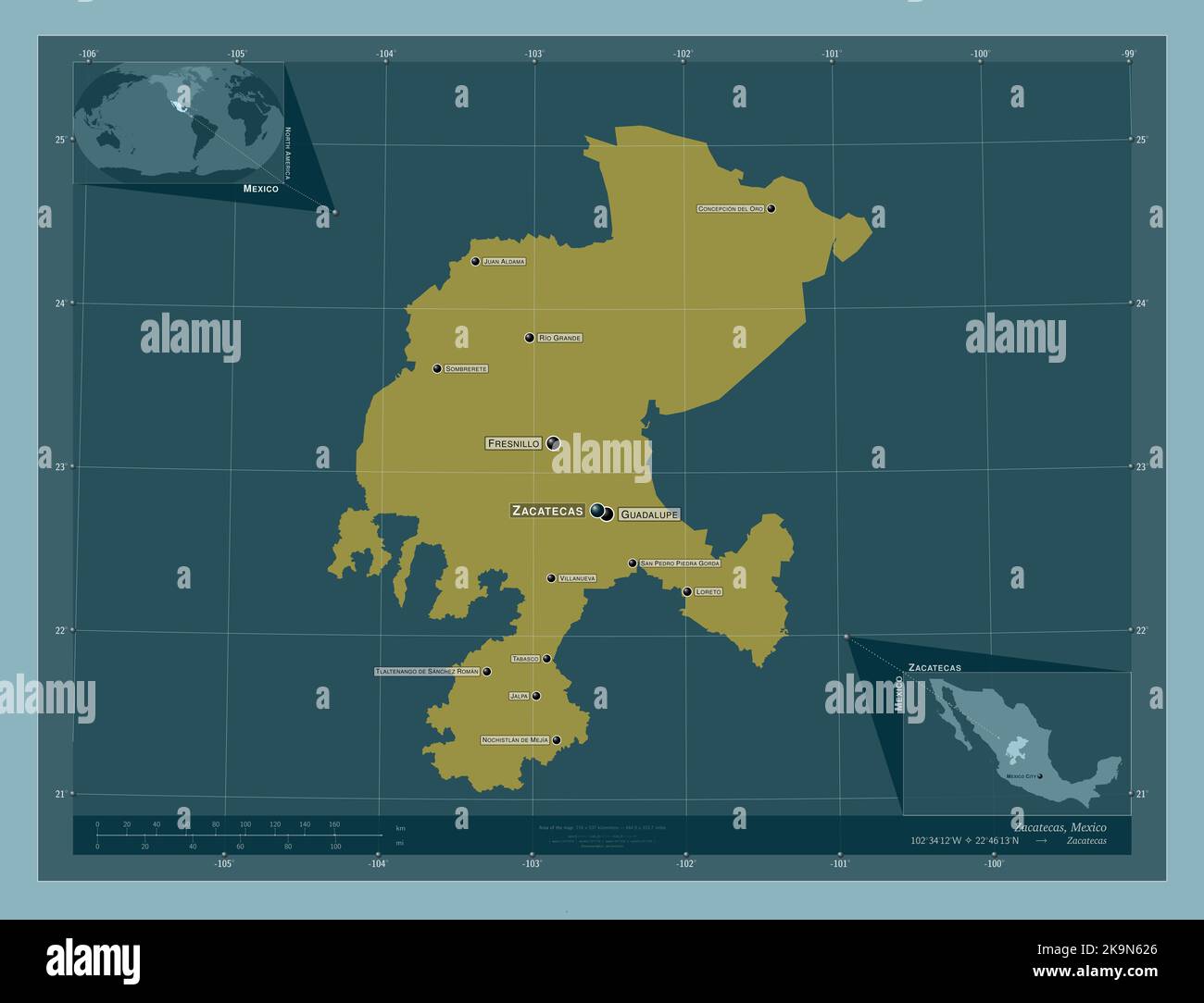 Zacatecas, state of Mexico. Solid color shape. Locations and names of major cities of the region. Corner auxiliary location maps Stock Photohttps://www.alamy.com/image-license-details/?v=1https://www.alamy.com/zacatecas-state-of-mexico-solid-color-shape-locations-and-names-of-major-cities-of-the-region-corner-auxiliary-location-maps-image487887966.html
RF2K9N626–Zacatecas, state of Mexico. Solid color shape. Locations and names of major cities of the region. Corner auxiliary location maps
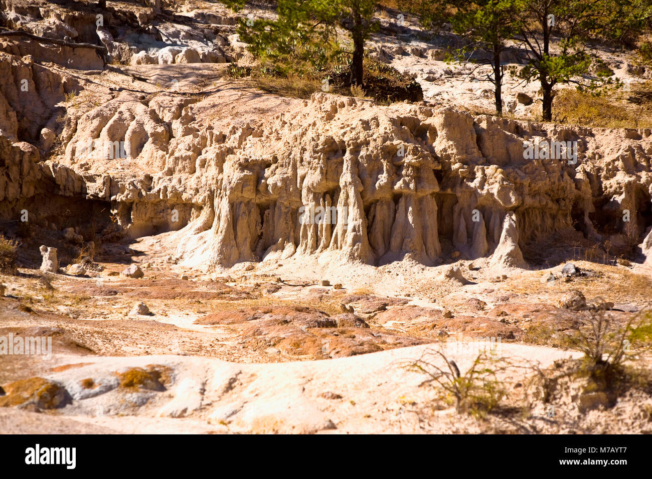 Rock formations on a landscape, Sierra De Organos, Sombrerete, Zacatecas State, Mexico Stock Photohttps://www.alamy.com/image-license-details/?v=1https://www.alamy.com/stock-photo-rock-formations-on-a-landscape-sierra-de-organos-sombrerete-zacatecas-176647639.html
RFM7AYT7–Rock formations on a landscape, Sierra De Organos, Sombrerete, Zacatecas State, Mexico
![. Essai politique sur le royaume de la Nouvelle-Espagne [microforme]. Agriculture; Mines et ressources minières; Agriculture; Mines and mineral resources. Cll.VPITilE XI. 339 ara iule activité à l'extraction des minerais. ri Les filons de Tasco, Tlapu jaliua, Zultepèque, Moran , Pacbuca et Real dcl Monte ; ceux de Sombrerete, Bolafîos , Batopilas et du Rosario, ont offert de temps en temps d'im- menses richesses ; mais leur produis' a été moins unilorme que celui des mines de Guanaxuato, de Zacatecas et de Gatorce. L'argent extrait dans les 07 districts des înines dans lesquels est divi Stock Photo . Essai politique sur le royaume de la Nouvelle-Espagne [microforme]. Agriculture; Mines et ressources minières; Agriculture; Mines and mineral resources. Cll.VPITilE XI. 339 ara iule activité à l'extraction des minerais. ri Les filons de Tasco, Tlapu jaliua, Zultepèque, Moran , Pacbuca et Real dcl Monte ; ceux de Sombrerete, Bolafîos , Batopilas et du Rosario, ont offert de temps en temps d'im- menses richesses ; mais leur produis' a été moins unilorme que celui des mines de Guanaxuato, de Zacatecas et de Gatorce. L'argent extrait dans les 07 districts des înines dans lesquels est divi Stock Photo](https://c8.alamy.com/comp/RJ3HFM/essai-politique-sur-le-royaume-de-la-nouvelle-espagne-microforme-agriculture-mines-et-ressources-minires-agriculture-mines-and-mineral-resources-cllvpitile-xi-339-ara-iule-activit-lextraction-des-minerais-ri-les-filons-de-tasco-tlapu-jaliua-zultepque-moran-pacbuca-et-real-dcl-monte-ceux-de-sombrerete-bolafos-batopilas-et-du-rosario-ont-offert-de-temps-en-temps-dim-menses-richesses-mais-leur-produis-a-t-moins-unilorme-que-celui-des-mines-de-guanaxuato-de-zacatecas-et-de-gatorce-largent-extrait-dans-les-07-districts-des-nines-dans-lesquels-est-divi-RJ3HFM.jpg) . Essai politique sur le royaume de la Nouvelle-Espagne [microforme]. Agriculture; Mines et ressources minières; Agriculture; Mines and mineral resources. Cll.VPITilE XI. 339 ara iule activité à l'extraction des minerais. ri Les filons de Tasco, Tlapu jaliua, Zultepèque, Moran , Pacbuca et Real dcl Monte ; ceux de Sombrerete, Bolafîos , Batopilas et du Rosario, ont offert de temps en temps d'im- menses richesses ; mais leur produis' a été moins unilorme que celui des mines de Guanaxuato, de Zacatecas et de Gatorce. L'argent extrait dans les 07 districts des înines dans lesquels est divi Stock Photohttps://www.alamy.com/image-license-details/?v=1https://www.alamy.com/essai-politique-sur-le-royaume-de-la-nouvelle-espagne-microforme-agriculture-mines-et-ressources-minires-agriculture-mines-and-mineral-resources-cllvpitile-xi-339-ara-iule-activit-lextraction-des-minerais-ri-les-filons-de-tasco-tlapu-jaliua-zultepque-moran-pacbuca-et-real-dcl-monte-ceux-de-sombrerete-bolafos-batopilas-et-du-rosario-ont-offert-de-temps-en-temps-dim-menses-richesses-mais-leur-produis-a-t-moins-unilorme-que-celui-des-mines-de-guanaxuato-de-zacatecas-et-de-gatorce-largent-extrait-dans-les-07-districts-des-nines-dans-lesquels-est-divi-image234878216.html
. Essai politique sur le royaume de la Nouvelle-Espagne [microforme]. Agriculture; Mines et ressources minières; Agriculture; Mines and mineral resources. Cll.VPITilE XI. 339 ara iule activité à l'extraction des minerais. ri Les filons de Tasco, Tlapu jaliua, Zultepèque, Moran , Pacbuca et Real dcl Monte ; ceux de Sombrerete, Bolafîos , Batopilas et du Rosario, ont offert de temps en temps d'im- menses richesses ; mais leur produis' a été moins unilorme que celui des mines de Guanaxuato, de Zacatecas et de Gatorce. L'argent extrait dans les 07 districts des înines dans lesquels est divi Stock Photohttps://www.alamy.com/image-license-details/?v=1https://www.alamy.com/essai-politique-sur-le-royaume-de-la-nouvelle-espagne-microforme-agriculture-mines-et-ressources-minires-agriculture-mines-and-mineral-resources-cllvpitile-xi-339-ara-iule-activit-lextraction-des-minerais-ri-les-filons-de-tasco-tlapu-jaliua-zultepque-moran-pacbuca-et-real-dcl-monte-ceux-de-sombrerete-bolafos-batopilas-et-du-rosario-ont-offert-de-temps-en-temps-dim-menses-richesses-mais-leur-produis-a-t-moins-unilorme-que-celui-des-mines-de-guanaxuato-de-zacatecas-et-de-gatorce-largent-extrait-dans-les-07-districts-des-nines-dans-lesquels-est-divi-image234878216.htmlRMRJ3HFM–. Essai politique sur le royaume de la Nouvelle-Espagne [microforme]. Agriculture; Mines et ressources minières; Agriculture; Mines and mineral resources. Cll.VPITilE XI. 339 ara iule activité à l'extraction des minerais. ri Les filons de Tasco, Tlapu jaliua, Zultepèque, Moran , Pacbuca et Real dcl Monte ; ceux de Sombrerete, Bolafîos , Batopilas et du Rosario, ont offert de temps en temps d'im- menses richesses ; mais leur produis' a été moins unilorme que celui des mines de Guanaxuato, de Zacatecas et de Gatorce. L'argent extrait dans les 07 districts des înines dans lesquels est divi
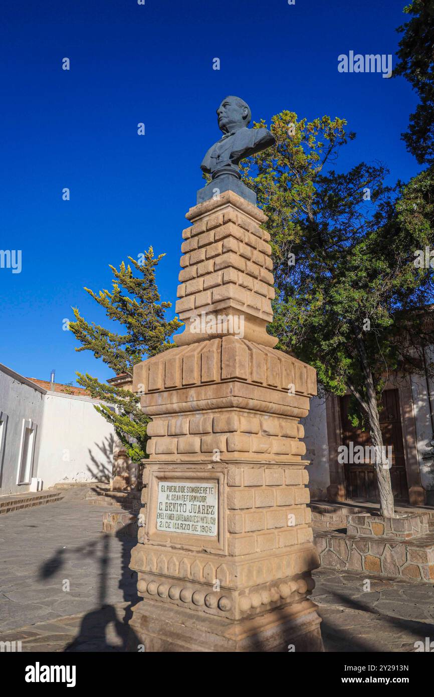 Sombrerete in Zacatecas state, Mexico (Photo by Luis Gutierrez/Norte Photo). Sombrerete en estado Zacatecas,Mexico (Foto por Luis Gutierrez/Norte Photo). Stock Photohttps://www.alamy.com/image-license-details/?v=1https://www.alamy.com/sombrerete-in-zacatecas-state-mexico-photo-by-luis-gutierreznorte-photo-sombrerete-en-estado-zacatecasmexico-foto-por-luis-gutierreznorte-photo-image621001017.html
RF2Y2913N–Sombrerete in Zacatecas state, Mexico (Photo by Luis Gutierrez/Norte Photo). Sombrerete en estado Zacatecas,Mexico (Foto por Luis Gutierrez/Norte Photo).
 Colonia Gonzalez Ortega, Zacatecas, Mexico. 23rd Mar, 2018. Farmer Israel Esparza, speaks to officials Friday as residents of rural Colonia Gonzalez Ortega, Zacatecas, rallied along with 20 other towns to become an independent municipality breaking out from Sombrerete in the hope of improving services such as water and infrastructure which are currently worse than some places in Sub-Saharan Africa. The central Mexican town is in many ways the quintessential Revolutionary Mexican town-- founded in 1928 -- and evolved into the ''grain silo'' of the country. It has suffered over the years due Stock Photohttps://www.alamy.com/image-license-details/?v=1https://www.alamy.com/colonia-gonzalez-ortega-zacatecas-mexico-23rd-mar-2018-farmer-israel-esparza-speaks-to-officials-friday-as-residents-of-rural-colonia-gonzalez-ortega-zacatecas-rallied-along-with-20-other-towns-to-become-an-independent-municipality-breaking-out-from-sombrerete-in-the-hope-of-improving-services-such-as-water-and-infrastructure-which-are-currently-worse-than-some-places-in-sub-saharan-africa-the-central-mexican-town-is-in-many-ways-the-quintessential-revolutionary-mexican-town-founded-in-1928-and-evolved-into-the-grain-silo-of-the-country-it-has-suffered-over-the-years-due-image177861102.html
RMM9A7J6–Colonia Gonzalez Ortega, Zacatecas, Mexico. 23rd Mar, 2018. Farmer Israel Esparza, speaks to officials Friday as residents of rural Colonia Gonzalez Ortega, Zacatecas, rallied along with 20 other towns to become an independent municipality breaking out from Sombrerete in the hope of improving services such as water and infrastructure which are currently worse than some places in Sub-Saharan Africa. The central Mexican town is in many ways the quintessential Revolutionary Mexican town-- founded in 1928 -- and evolved into the ''grain silo'' of the country. It has suffered over the years due
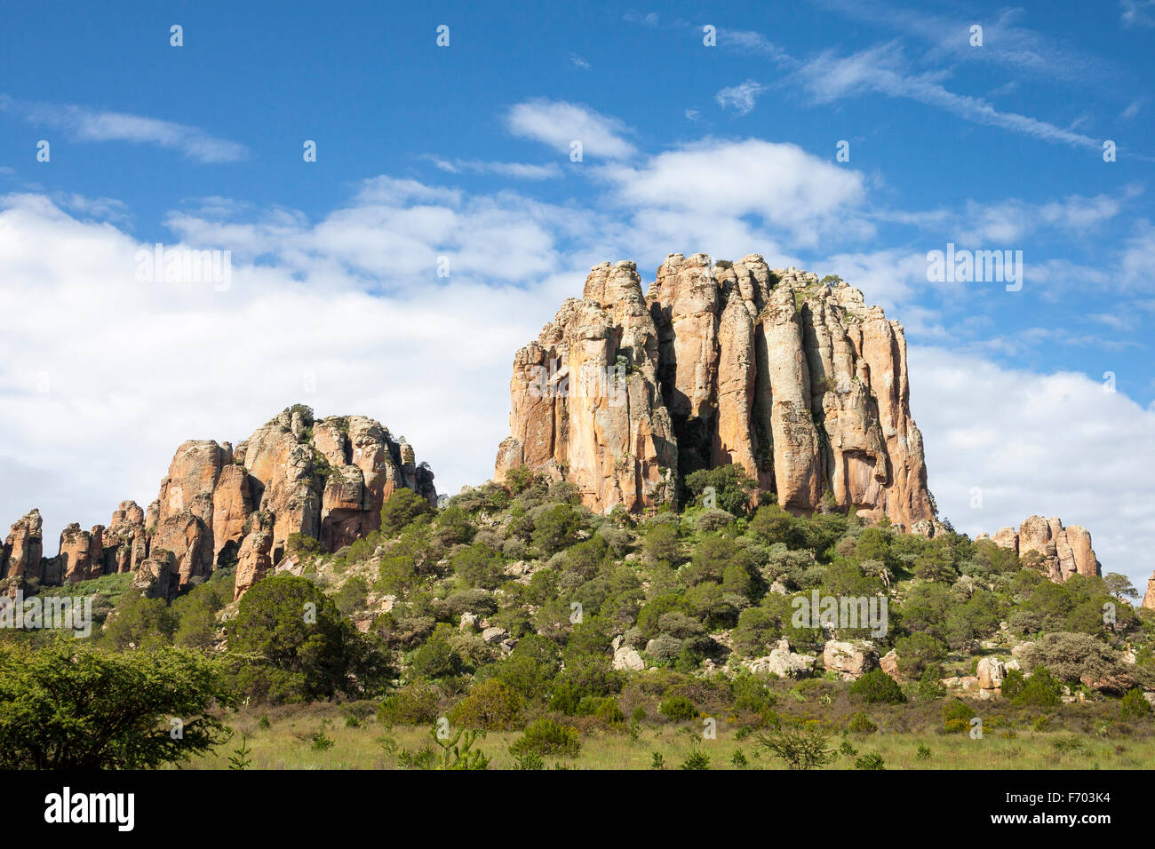 Sierra de Organos in Zacatecas, Mexico. Stock Photohttps://www.alamy.com/image-license-details/?v=1https://www.alamy.com/stock-photo-sierra-de-organos-in-zacatecas-mexico-90357320.html
RFF703K4–Sierra de Organos in Zacatecas, Mexico.
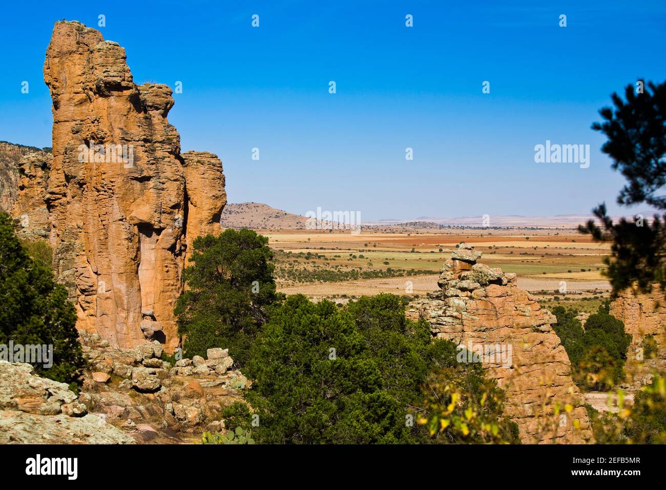 Rock formations on a landscape, Sierra De Organos, Sombrerete, Zacatecas State, Mexico Stock Photohttps://www.alamy.com/image-license-details/?v=1https://www.alamy.com/rock-formations-on-a-landscape-sierra-de-organos-sombrerete-zacatecas-state-mexico-image405304279.html
RF2EFB5MR–Rock formations on a landscape, Sierra De Organos, Sombrerete, Zacatecas State, Mexico
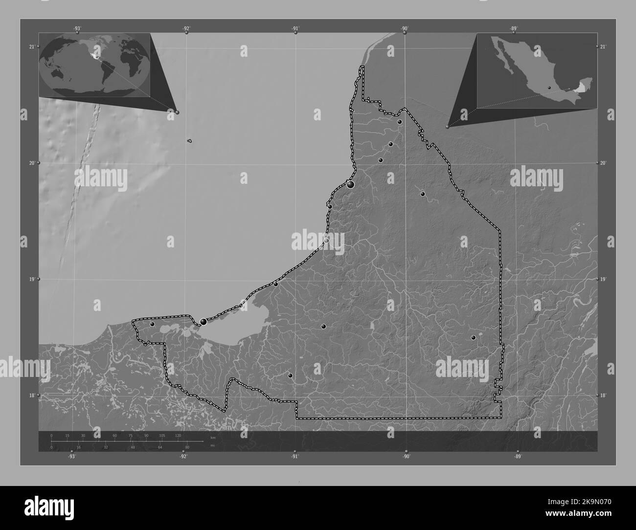 Campeche, state of Mexico. Bilevel elevation map with lakes and rivers. Locations of major cities of the region. Corner auxiliary location maps Stock Photohttps://www.alamy.com/image-license-details/?v=1https://www.alamy.com/campeche-state-of-mexico-bilevel-elevation-map-with-lakes-and-rivers-locations-of-major-cities-of-the-region-corner-auxiliary-location-maps-image487883396.html
RF2K9N070–Campeche, state of Mexico. Bilevel elevation map with lakes and rivers. Locations of major cities of the region. Corner auxiliary location maps
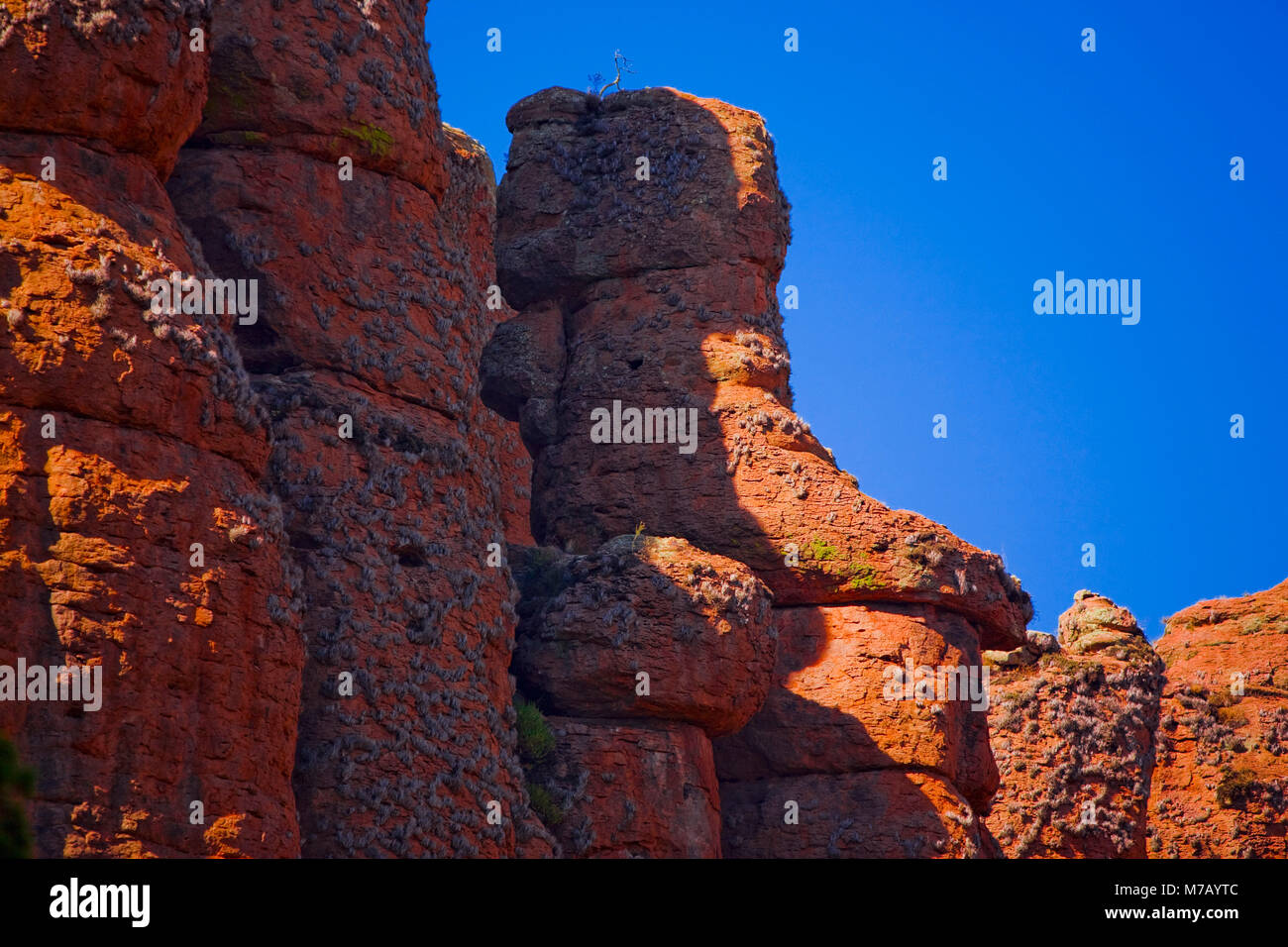 Low angle view of rock formations, Sierra De Organos, Sombrerete, Zacatecas State, Mexico Stock Photohttps://www.alamy.com/image-license-details/?v=1https://www.alamy.com/stock-photo-low-angle-view-of-rock-formations-sierra-de-organos-sombrerete-zacatecas-176647644.html
RFM7AYTC–Low angle view of rock formations, Sierra De Organos, Sombrerete, Zacatecas State, Mexico
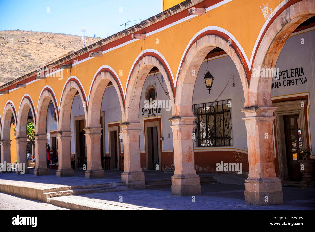 Sombrerete in Zacatecas state, Mexico (Photo by Luis Gutierrez/Norte Photo). Sombrerete en estado Zacatecas,Mexico (Foto por Luis Gutierrez/Norte Photo). Stock Photohttps://www.alamy.com/image-license-details/?v=1https://www.alamy.com/sombrerete-in-zacatecas-state-mexico-photo-by-luis-gutierreznorte-photo-sombrerete-en-estado-zacatecasmexico-foto-por-luis-gutierreznorte-photo-image621001533.html
RF2Y291P5–Sombrerete in Zacatecas state, Mexico (Photo by Luis Gutierrez/Norte Photo). Sombrerete en estado Zacatecas,Mexico (Foto por Luis Gutierrez/Norte Photo).
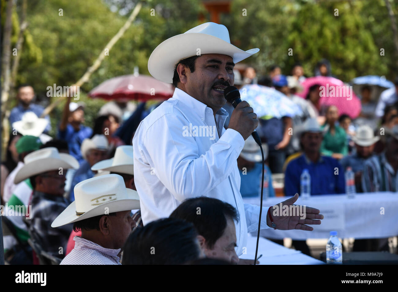 Colonia Gonzalez Ortega, Zacatecas, Mexico. 23rd Mar, 2018. Zacatecas Representative, Santiago Dominguez, speak to farmers Friday as residents of rural Colonia Gonzalez Ortega, Zacatecas, rallied along with 20 other towns to become an independent municipality breaking out from Sombrerete in the hope of improving services such as water and infrastructure which are currently worse than some places in Sub-Saharan Africa. The central Mexican town is in many ways the quintessential Revolutionary Mexican town-- founded in 1928 -- and evolved into the ''grain silo'' of the country. It has suffere Stock Photohttps://www.alamy.com/image-license-details/?v=1https://www.alamy.com/colonia-gonzalez-ortega-zacatecas-mexico-23rd-mar-2018-zacatecas-representative-santiago-dominguez-speak-to-farmers-friday-as-residents-of-rural-colonia-gonzalez-ortega-zacatecas-rallied-along-with-20-other-towns-to-become-an-independent-municipality-breaking-out-from-sombrerete-in-the-hope-of-improving-services-such-as-water-and-infrastructure-which-are-currently-worse-than-some-places-in-sub-saharan-africa-the-central-mexican-town-is-in-many-ways-the-quintessential-revolutionary-mexican-town-founded-in-1928-and-evolved-into-the-grain-silo-of-the-country-it-has-suffere-image177861105.html
RMM9A7J9–Colonia Gonzalez Ortega, Zacatecas, Mexico. 23rd Mar, 2018. Zacatecas Representative, Santiago Dominguez, speak to farmers Friday as residents of rural Colonia Gonzalez Ortega, Zacatecas, rallied along with 20 other towns to become an independent municipality breaking out from Sombrerete in the hope of improving services such as water and infrastructure which are currently worse than some places in Sub-Saharan Africa. The central Mexican town is in many ways the quintessential Revolutionary Mexican town-- founded in 1928 -- and evolved into the ''grain silo'' of the country. It has suffere
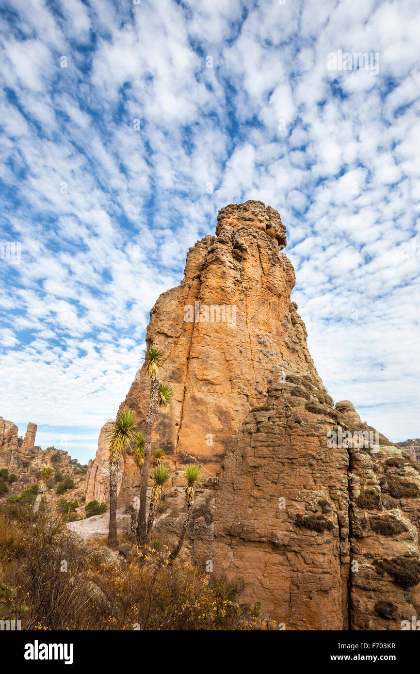 Rock formation under cirrus clouds in Sierra de Organos National Park, Zacatecas, Mexico. Stock Photohttps://www.alamy.com/image-license-details/?v=1https://www.alamy.com/stock-photo-rock-formation-under-cirrus-clouds-in-sierra-de-organos-national-park-90357339.html
RFF703KR–Rock formation under cirrus clouds in Sierra de Organos National Park, Zacatecas, Mexico.
 Rock formations on a landscape, Sierra De Organos, Sombrerete, Zacatecas State, Mexico Stock Photohttps://www.alamy.com/image-license-details/?v=1https://www.alamy.com/rock-formations-on-a-landscape-sierra-de-organos-sombrerete-zacatecas-state-mexico-image405311174.html
RF2EFBEF2–Rock formations on a landscape, Sierra De Organos, Sombrerete, Zacatecas State, Mexico
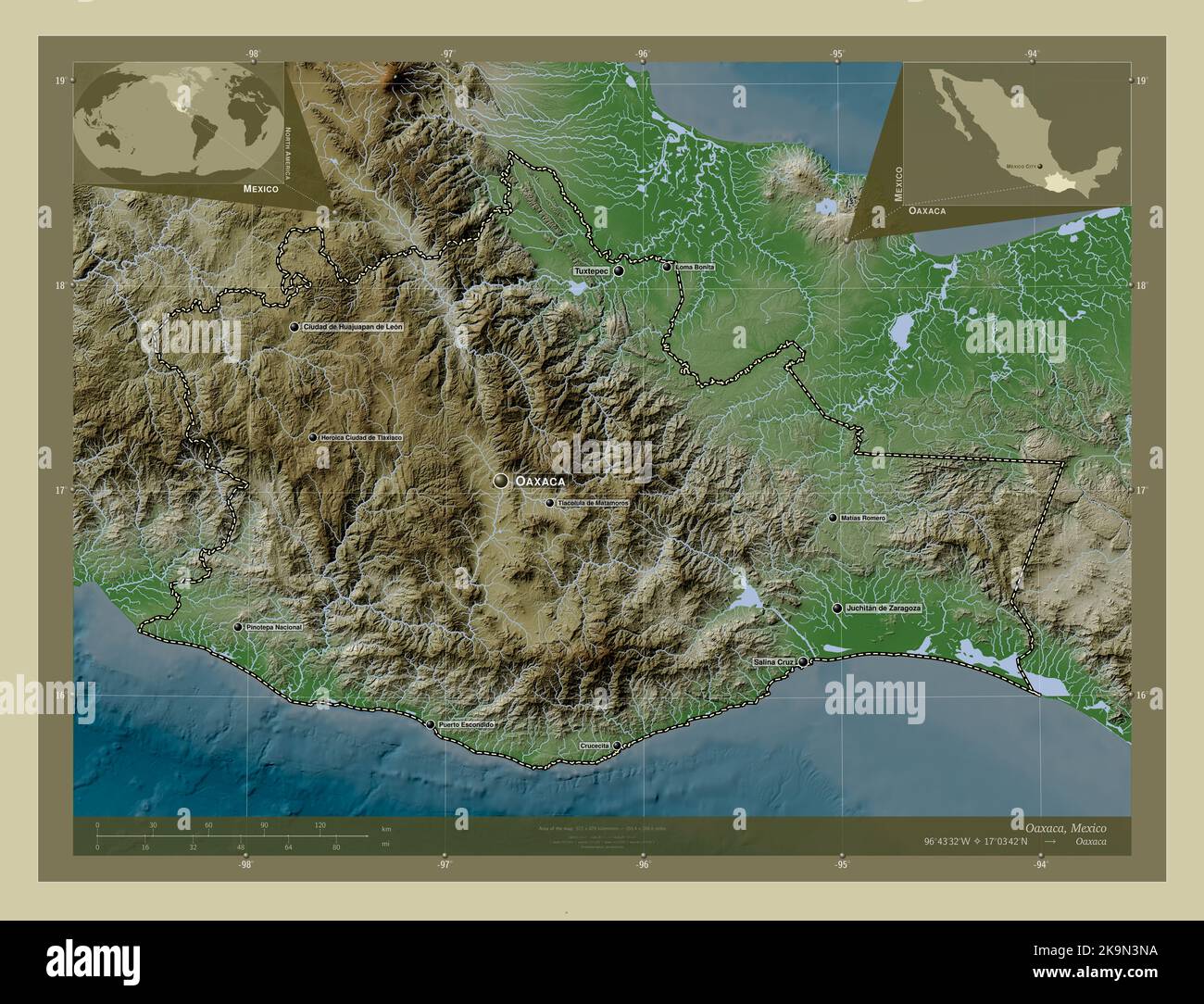 Oaxaca, state of Mexico. Elevation map colored in wiki style with lakes and rivers. Locations and names of major cities of the region. Corner auxiliar Stock Photohttps://www.alamy.com/image-license-details/?v=1https://www.alamy.com/oaxaca-state-of-mexico-elevation-map-colored-in-wiki-style-with-lakes-and-rivers-locations-and-names-of-major-cities-of-the-region-corner-auxiliar-image487886150.html
RF2K9N3NA–Oaxaca, state of Mexico. Elevation map colored in wiki style with lakes and rivers. Locations and names of major cities of the region. Corner auxiliar
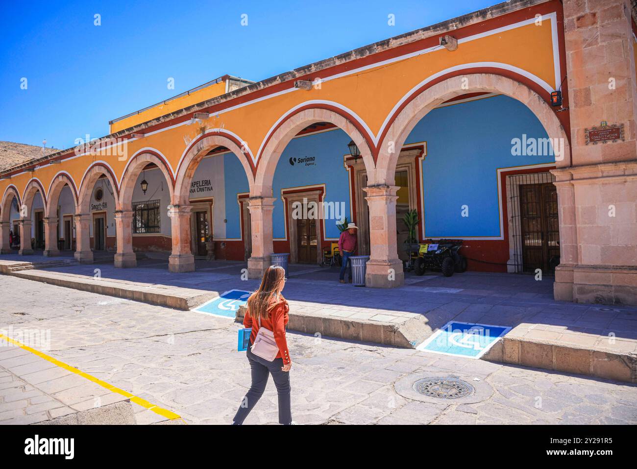 Sombrerete in Zacatecas state, Mexico (Photo by Luis Gutierrez/Norte Photo). Sombrerete en estado Zacatecas,Mexico (Foto por Luis Gutierrez/Norte Photo). Stock Photohttps://www.alamy.com/image-license-details/?v=1https://www.alamy.com/sombrerete-in-zacatecas-state-mexico-photo-by-luis-gutierreznorte-photo-sombrerete-en-estado-zacatecasmexico-foto-por-luis-gutierreznorte-photo-image621001561.html
RF2Y291R5–Sombrerete in Zacatecas state, Mexico (Photo by Luis Gutierrez/Norte Photo). Sombrerete en estado Zacatecas,Mexico (Foto por Luis Gutierrez/Norte Photo).
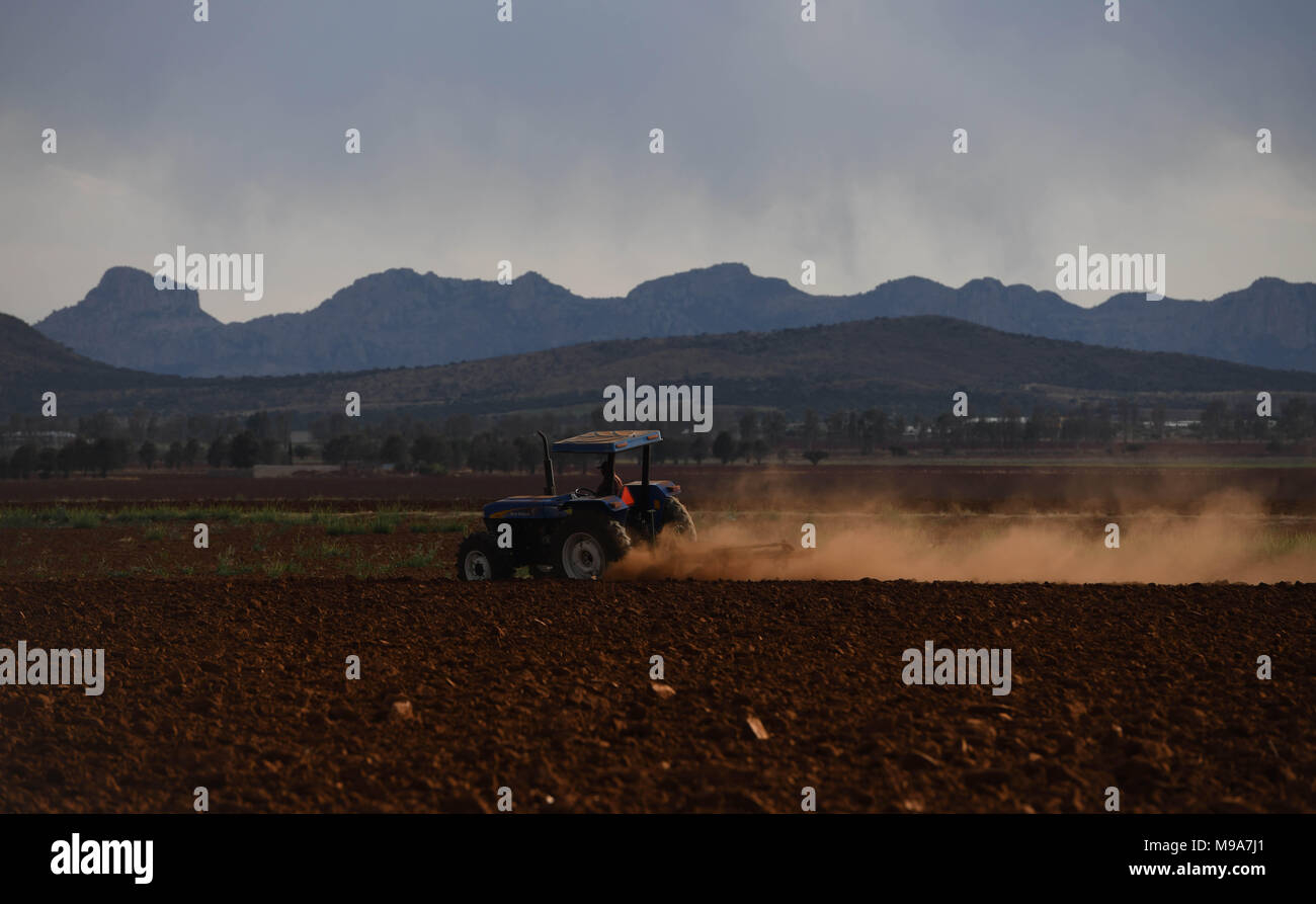 Colonia Gonzalez Ortega, Zacatecas, Mexico. 23rd Mar, 2018. A farmer plows the land Friday as residents of rural Colonia Gonzalez Ortega, Zacatecas, rallied along with 20 other towns to become an independent municipality breaking out from Sombrerete in the hope of improving services such as water and infrastructure which are currently worse than some places in Sub-Saharan Africa. The central Mexican town is in many ways the quintessential Revolutionary Mexican town-- founded in 1928 -- and evolved into the ''grain silo'' of the country. It has suffered over the years due to half its populat Stock Photohttps://www.alamy.com/image-license-details/?v=1https://www.alamy.com/colonia-gonzalez-ortega-zacatecas-mexico-23rd-mar-2018-a-farmer-plows-the-land-friday-as-residents-of-rural-colonia-gonzalez-ortega-zacatecas-rallied-along-with-20-other-towns-to-become-an-independent-municipality-breaking-out-from-sombrerete-in-the-hope-of-improving-services-such-as-water-and-infrastructure-which-are-currently-worse-than-some-places-in-sub-saharan-africa-the-central-mexican-town-is-in-many-ways-the-quintessential-revolutionary-mexican-town-founded-in-1928-and-evolved-into-the-grain-silo-of-the-country-it-has-suffered-over-the-years-due-to-half-its-populat-image177861097.html
RMM9A7J1–Colonia Gonzalez Ortega, Zacatecas, Mexico. 23rd Mar, 2018. A farmer plows the land Friday as residents of rural Colonia Gonzalez Ortega, Zacatecas, rallied along with 20 other towns to become an independent municipality breaking out from Sombrerete in the hope of improving services such as water and infrastructure which are currently worse than some places in Sub-Saharan Africa. The central Mexican town is in many ways the quintessential Revolutionary Mexican town-- founded in 1928 -- and evolved into the ''grain silo'' of the country. It has suffered over the years due to half its populat
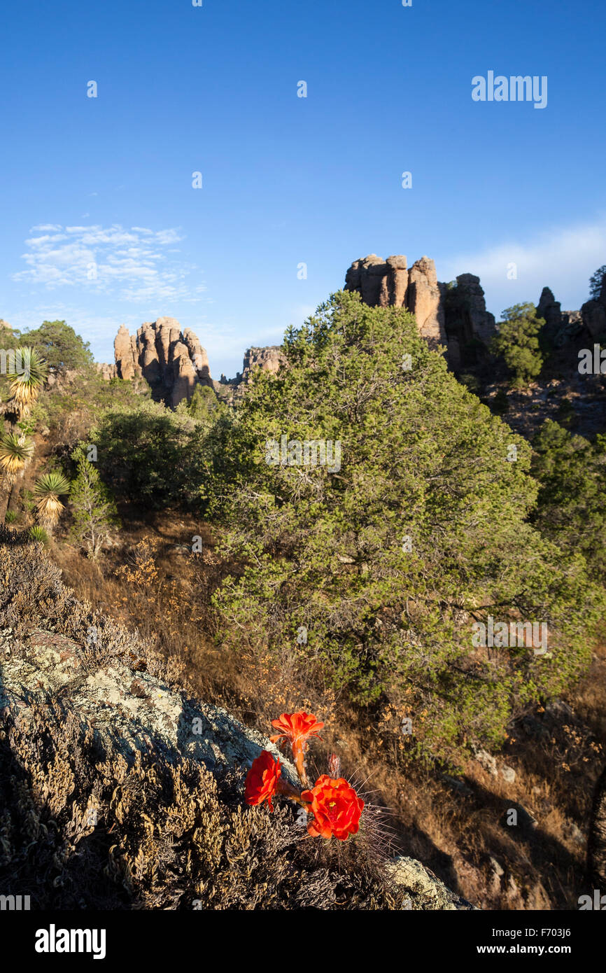 Cactus flowers bloom in Sierra de Organos National Park, Zacatecas, Mexico. Stock Photohttps://www.alamy.com/image-license-details/?v=1https://www.alamy.com/stock-photo-cactus-flowers-bloom-in-sierra-de-organos-national-park-zacatecas-90357294.html
RFF703J6–Cactus flowers bloom in Sierra de Organos National Park, Zacatecas, Mexico.
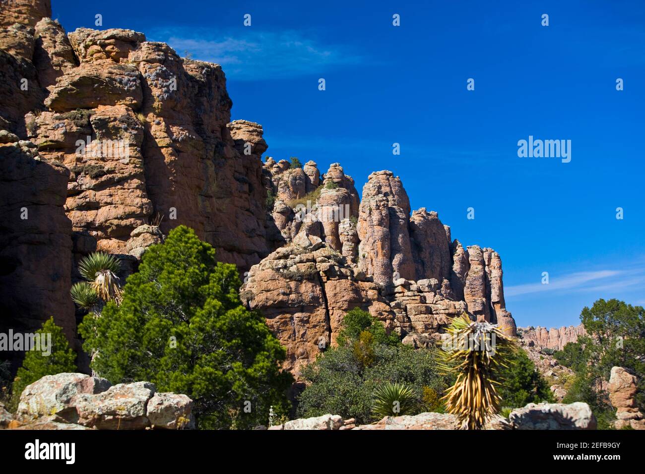 Low angle view of rock formations, Sierra De Organos, Sombrerete, Zacatecas State, Mexico Stock Photohttps://www.alamy.com/image-license-details/?v=1https://www.alamy.com/low-angle-view-of-rock-formations-sierra-de-organos-sombrerete-zacatecas-state-mexico-image405307307.html
RF2EFB9GY–Low angle view of rock formations, Sierra De Organos, Sombrerete, Zacatecas State, Mexico
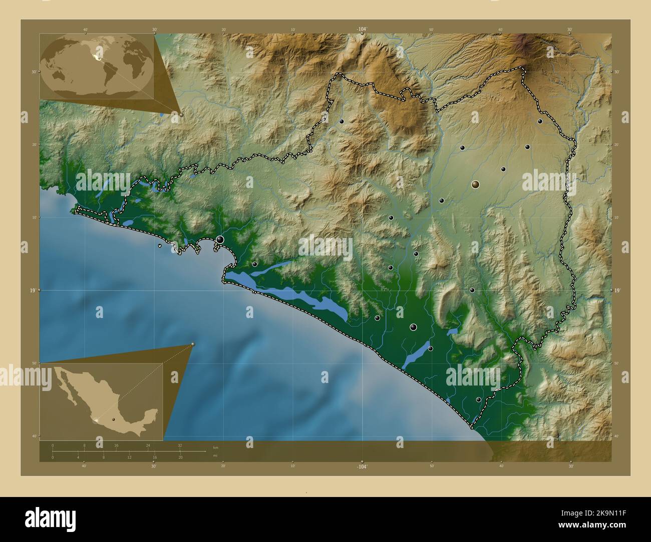 Colima, state of Mexico. Colored elevation map with lakes and rivers. Locations of major cities of the region. Corner auxiliary location maps Stock Photohttps://www.alamy.com/image-license-details/?v=1https://www.alamy.com/colima-state-of-mexico-colored-elevation-map-with-lakes-and-rivers-locations-of-major-cities-of-the-region-corner-auxiliary-location-maps-image487884027.html
RF2K9N11F–Colima, state of Mexico. Colored elevation map with lakes and rivers. Locations of major cities of the region. Corner auxiliary location maps
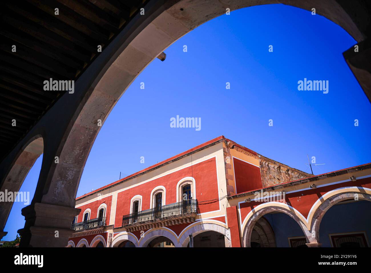 Sombrerete in Zacatecas state, Mexico (Photo by Luis Gutierrez/Norte Photo). Sombrerete en estado Zacatecas,Mexico (Foto por Luis Gutierrez/Norte Photo). Stock Photohttps://www.alamy.com/image-license-details/?v=1https://www.alamy.com/sombrerete-in-zacatecas-state-mexico-photo-by-luis-gutierreznorte-photo-sombrerete-en-estado-zacatecasmexico-foto-por-luis-gutierreznorte-photo-image621001674.html
RF2Y291Y6–Sombrerete in Zacatecas state, Mexico (Photo by Luis Gutierrez/Norte Photo). Sombrerete en estado Zacatecas,Mexico (Foto por Luis Gutierrez/Norte Photo).
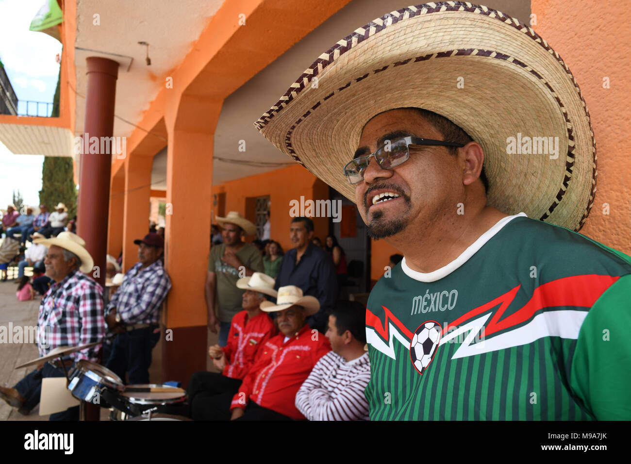 Colonia Gonzalez Ortega, Zacatecas, Mexico. 23rd Mar, 2018. Farmers listen to officials Friday as residents of rural Colonia Gonzalez Ortega, Zacatecas, rallied along with 20 other towns to become an independent municipality in the hope of improving services such as water and infrastructure which are currently worse than some places in Sub-Saharan Africa. The central Mexican town is in many ways the quintessential Revolutionary Mexican town-- founded in 1928 -- and evolved into the ''grain silo'' of the country. It has suffered over the years due to half its population migrating to the US, Stock Photohttps://www.alamy.com/image-license-details/?v=1https://www.alamy.com/colonia-gonzalez-ortega-zacatecas-mexico-23rd-mar-2018-farmers-listen-to-officials-friday-as-residents-of-rural-colonia-gonzalez-ortega-zacatecas-rallied-along-with-20-other-towns-to-become-an-independent-municipality-in-the-hope-of-improving-services-such-as-water-and-infrastructure-which-are-currently-worse-than-some-places-in-sub-saharan-africa-the-central-mexican-town-is-in-many-ways-the-quintessential-revolutionary-mexican-town-founded-in-1928-and-evolved-into-the-grain-silo-of-the-country-it-has-suffered-over-the-years-due-to-half-its-population-migrating-to-the-us-image177861115.html
RMM9A7JK–Colonia Gonzalez Ortega, Zacatecas, Mexico. 23rd Mar, 2018. Farmers listen to officials Friday as residents of rural Colonia Gonzalez Ortega, Zacatecas, rallied along with 20 other towns to become an independent municipality in the hope of improving services such as water and infrastructure which are currently worse than some places in Sub-Saharan Africa. The central Mexican town is in many ways the quintessential Revolutionary Mexican town-- founded in 1928 -- and evolved into the ''grain silo'' of the country. It has suffered over the years due to half its population migrating to the US,
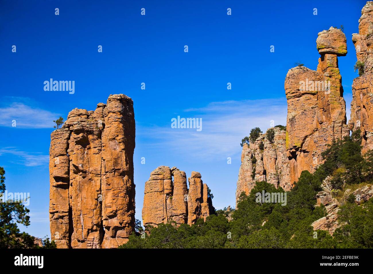 Low angle view of rock formations, Sierra De Organos, Sombrerete, Zacatecas State, Mexico Stock Photohttps://www.alamy.com/image-license-details/?v=1https://www.alamy.com/low-angle-view-of-rock-formations-sierra-de-organos-sombrerete-zacatecas-state-mexico-image405311023.html
RF2EFBE9K–Low angle view of rock formations, Sierra De Organos, Sombrerete, Zacatecas State, Mexico
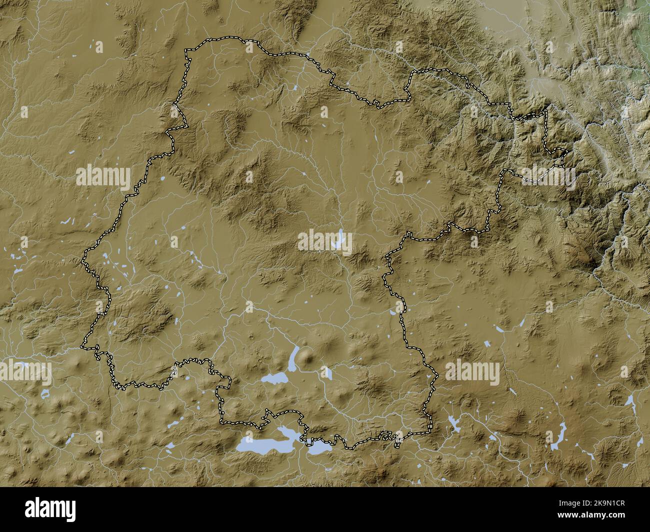 Guanajuato, state of Mexico. Elevation map colored in wiki style with lakes and rivers Stock Photohttps://www.alamy.com/image-license-details/?v=1https://www.alamy.com/guanajuato-state-of-mexico-elevation-map-colored-in-wiki-style-with-lakes-and-rivers-image487884343.html
RF2K9N1CR–Guanajuato, state of Mexico. Elevation map colored in wiki style with lakes and rivers
 Sombrerete in Zacatecas state, Mexico (Photo by Luis Gutierrez/Norte Photo). Sombrerete en estado Zacatecas,Mexico (Foto por Luis Gutierrez/Norte Photo). Stock Photohttps://www.alamy.com/image-license-details/?v=1https://www.alamy.com/sombrerete-in-zacatecas-state-mexico-photo-by-luis-gutierreznorte-photo-sombrerete-en-estado-zacatecasmexico-foto-por-luis-gutierreznorte-photo-image621001578.html
RF2Y291RP–Sombrerete in Zacatecas state, Mexico (Photo by Luis Gutierrez/Norte Photo). Sombrerete en estado Zacatecas,Mexico (Foto por Luis Gutierrez/Norte Photo).
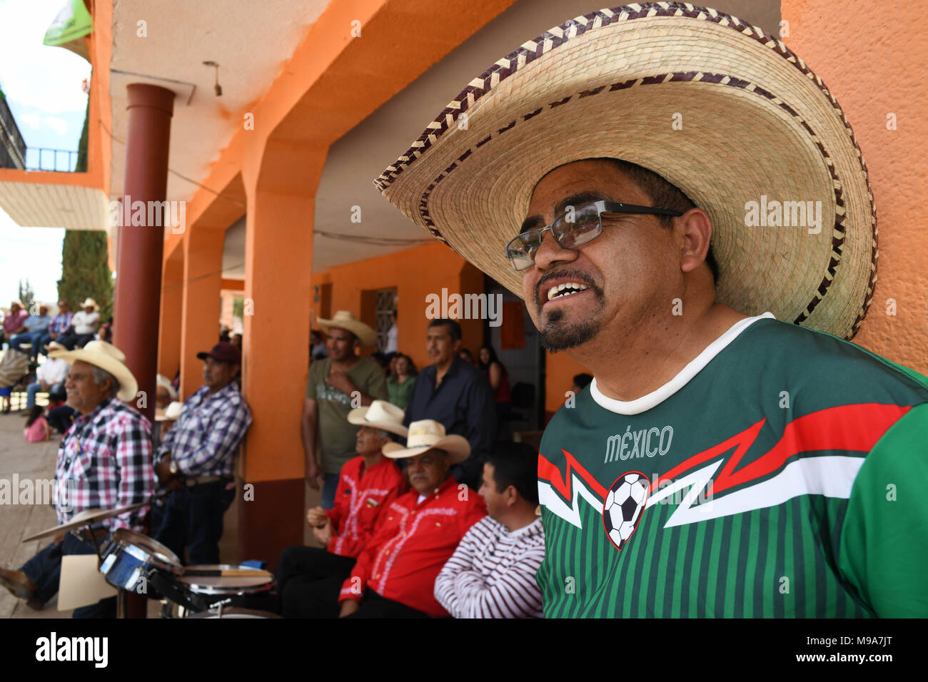 Colonia Gonzalez Ortega, Zacatecas, Mexico. 23rd Mar, 2018. Farmers listen to officials Friday as residents of rural Colonia Gonzalez Ortega, Zacatecas, rallied along with 20 other towns to become an independent municipality in the hope of improving services such as water and infrastructure which are currently worse than some places in Sub-Saharan Africa. The central Mexican town is in many ways the quintessential Revolutionary Mexican town-- founded in 1928 -- and evolved into the ''grain silo'' of the country. It has suffered over the years due to half its population migrating to the US, Stock Photohttps://www.alamy.com/image-license-details/?v=1https://www.alamy.com/colonia-gonzalez-ortega-zacatecas-mexico-23rd-mar-2018-farmers-listen-to-officials-friday-as-residents-of-rural-colonia-gonzalez-ortega-zacatecas-rallied-along-with-20-other-towns-to-become-an-independent-municipality-in-the-hope-of-improving-services-such-as-water-and-infrastructure-which-are-currently-worse-than-some-places-in-sub-saharan-africa-the-central-mexican-town-is-in-many-ways-the-quintessential-revolutionary-mexican-town-founded-in-1928-and-evolved-into-the-grain-silo-of-the-country-it-has-suffered-over-the-years-due-to-half-its-population-migrating-to-the-us-image177861120.html
RMM9A7JT–Colonia Gonzalez Ortega, Zacatecas, Mexico. 23rd Mar, 2018. Farmers listen to officials Friday as residents of rural Colonia Gonzalez Ortega, Zacatecas, rallied along with 20 other towns to become an independent municipality in the hope of improving services such as water and infrastructure which are currently worse than some places in Sub-Saharan Africa. The central Mexican town is in many ways the quintessential Revolutionary Mexican town-- founded in 1928 -- and evolved into the ''grain silo'' of the country. It has suffered over the years due to half its population migrating to the US,