Quick filters:
Porto novo map Stock Photos and Images
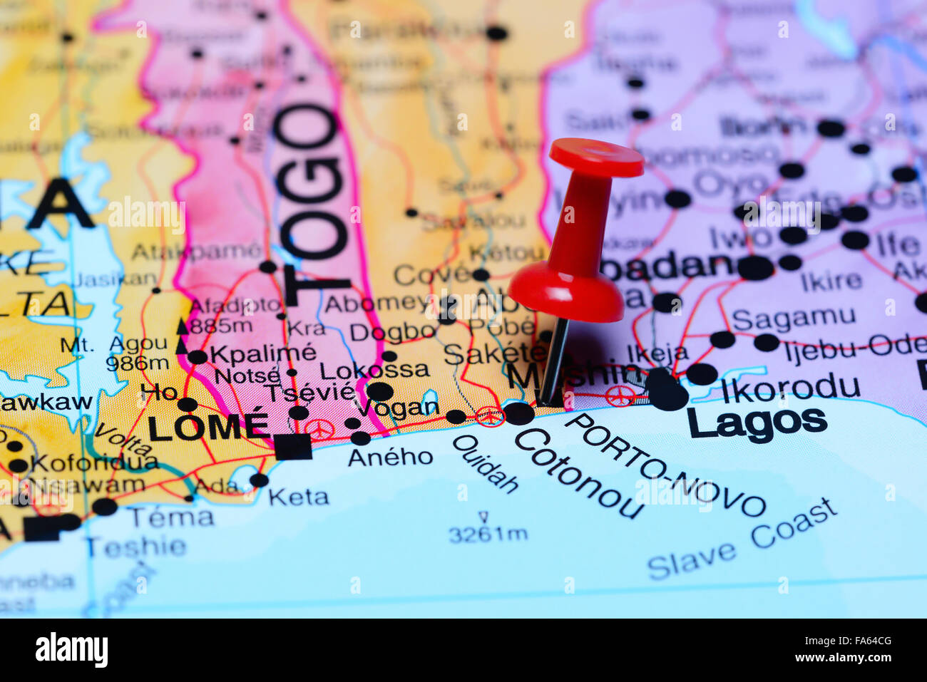 Porto Novo pinned on a map of Africa Stock Photohttps://www.alamy.com/image-license-details/?v=1https://www.alamy.com/stock-photo-porto-novo-pinned-on-a-map-of-africa-92333600.html
RFFA64CG–Porto Novo pinned on a map of Africa
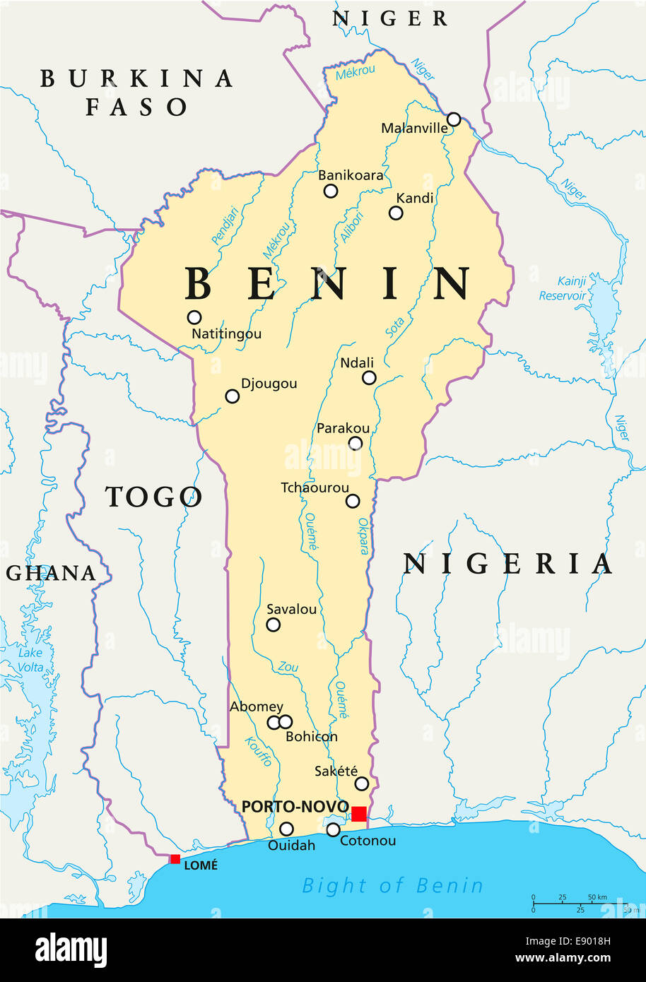 Benin Political Map with capital Porto-Novo, national borders, most important cities, rivers and lakes. English labeling. Stock Photohttps://www.alamy.com/image-license-details/?v=1https://www.alamy.com/stock-photo-benin-political-map-with-capital-porto-novo-national-borders-most-74374401.html
RFE9018H–Benin Political Map with capital Porto-Novo, national borders, most important cities, rivers and lakes. English labeling.
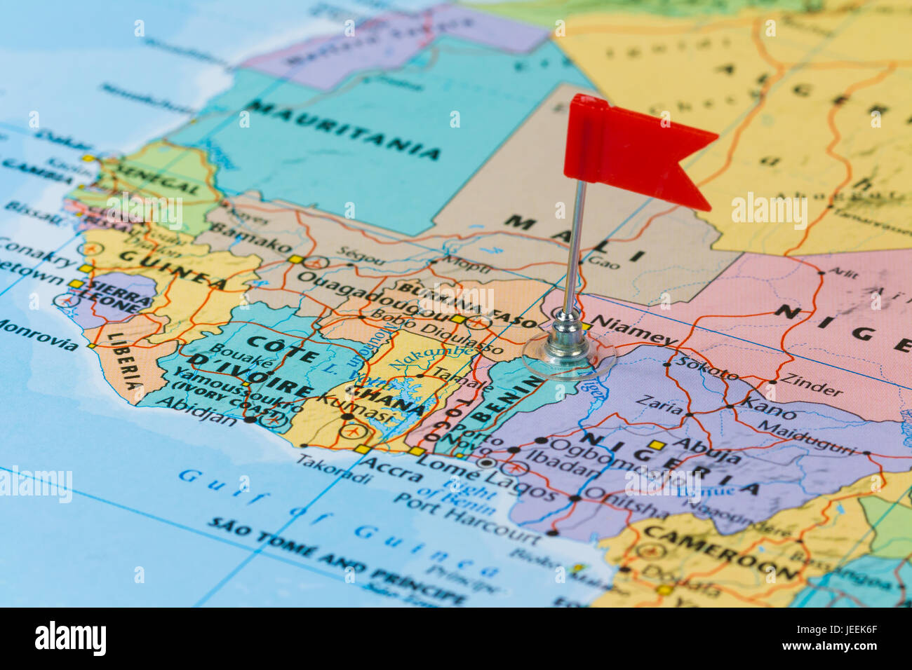 Photo of Benin marked by red flag in holder. Country on African continent. Stock Photohttps://www.alamy.com/image-license-details/?v=1https://www.alamy.com/stock-photo-photo-ofbenin-marked-by-red-flag-in-holder-country-on-african-continent-146610535.html
RFJEEK6F–Photo of Benin marked by red flag in holder. Country on African continent.
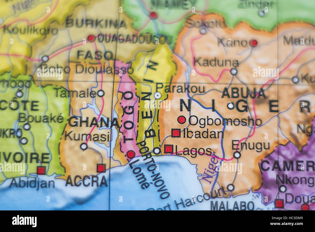 Photo of a map of Benin and the capital Porto-novo . Stock Photohttps://www.alamy.com/image-license-details/?v=1https://www.alamy.com/stock-photo-photo-of-a-map-of-benin-and-the-capital-porto-novo-127925065.html
RFHC3DM9–Photo of a map of Benin and the capital Porto-novo .
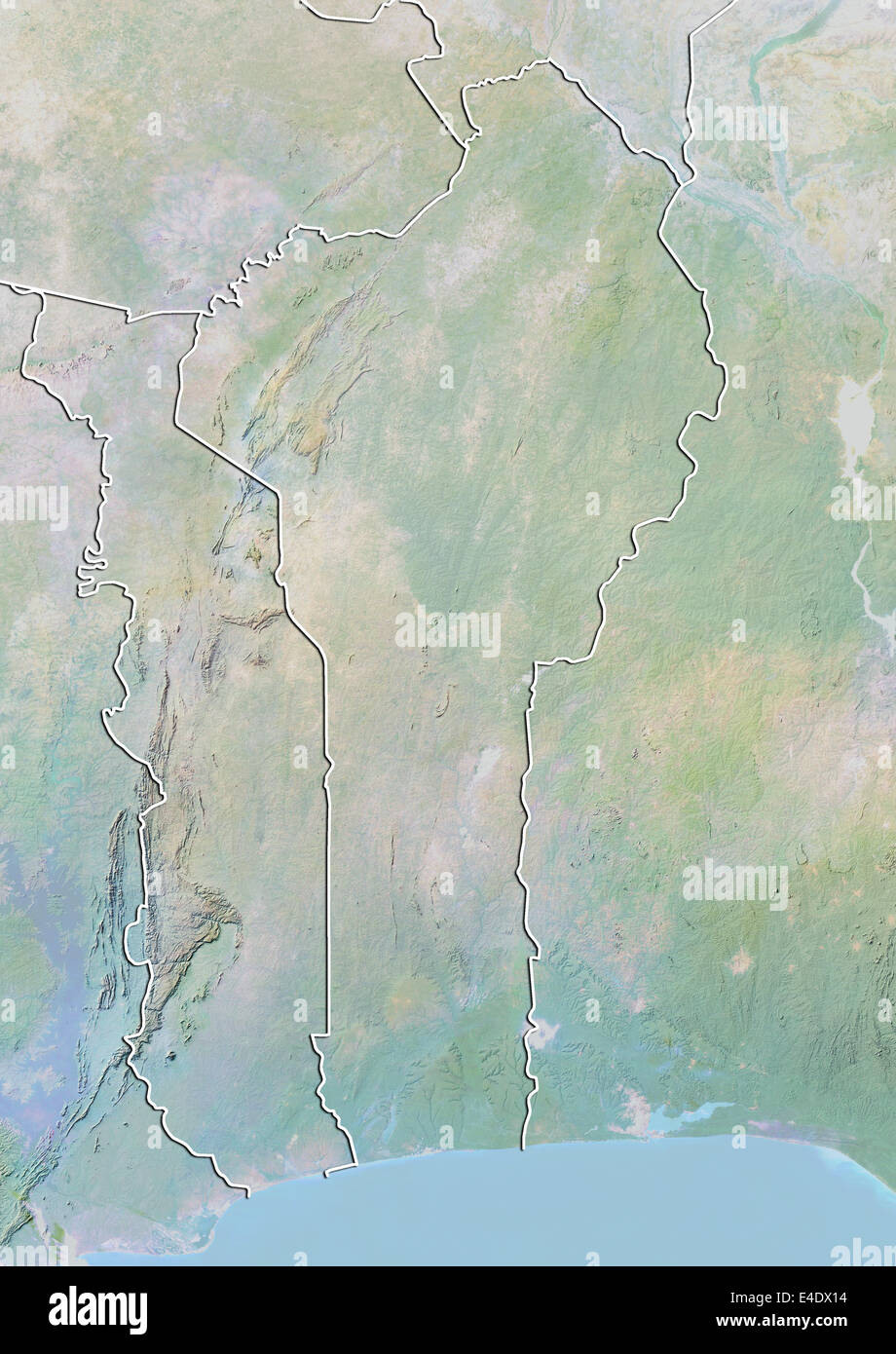 Benin, Relief Map With Border Stock Photohttps://www.alamy.com/image-license-details/?v=1https://www.alamy.com/stock-photo-benin-relief-map-with-border-71605888.html
RME4DX14–Benin, Relief Map With Border
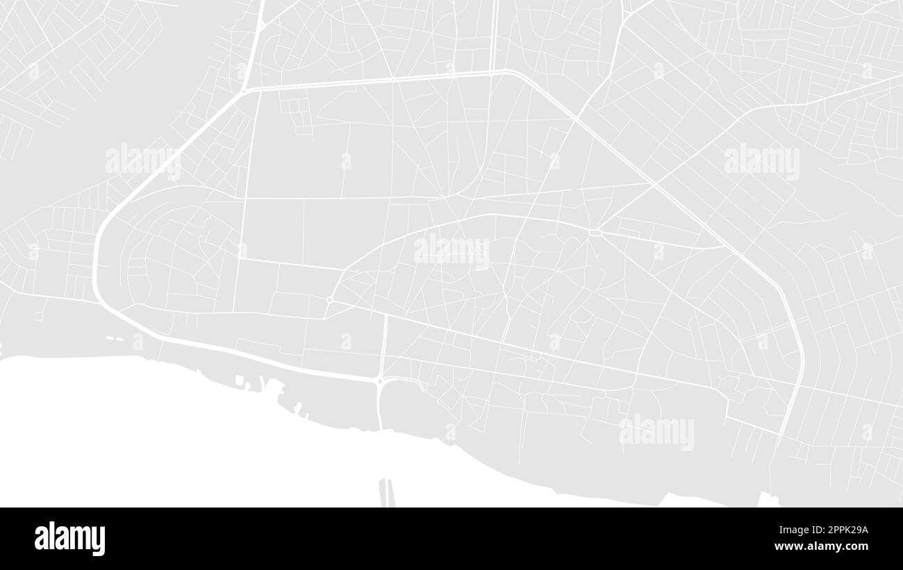 Background Porto-Novo map, Benin, white and light grey city poster. Vector map with roads and water. Widescreen proportion, digital flat design roadma Stock Vectorhttps://www.alamy.com/image-license-details/?v=1https://www.alamy.com/background-porto-novo-map-benin-white-and-light-grey-city-poster-vector-map-with-roads-and-water-widescreen-proportion-digital-flat-design-roadma-image547462758.html
RF2PPK29A–Background Porto-Novo map, Benin, white and light grey city poster. Vector map with roads and water. Widescreen proportion, digital flat design roadma
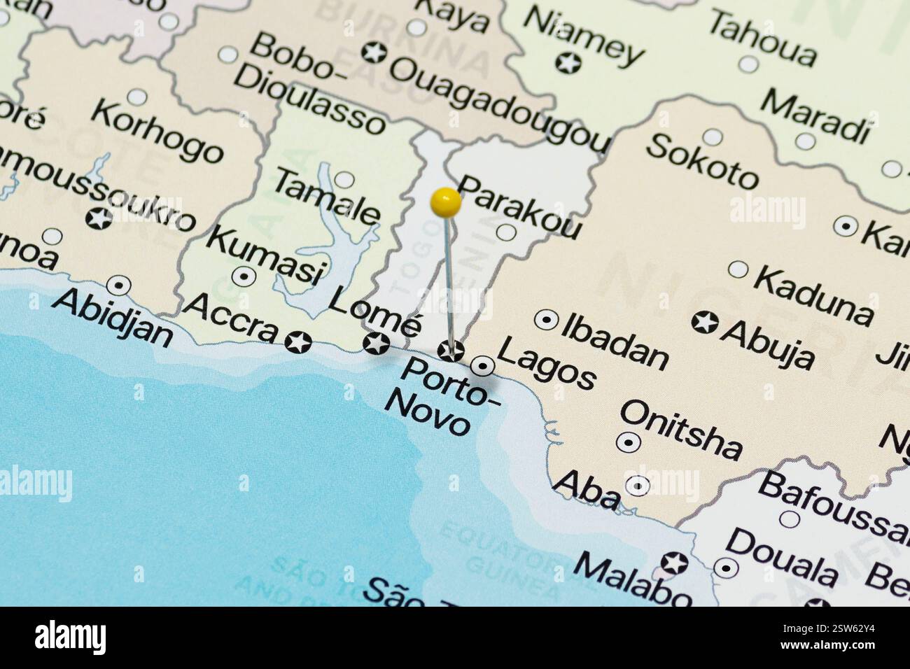 yellow pin needle into porto novo city of benin political map Stock Photohttps://www.alamy.com/image-license-details/?v=1https://www.alamy.com/yellow-pin-needle-into-porto-novo-city-of-benin-political-map-image652284056.html
RF2SW62Y4–yellow pin needle into porto novo city of benin political map
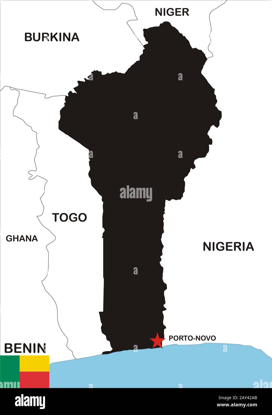 Benin Map Stock Photohttps://www.alamy.com/image-license-details/?v=1https://www.alamy.com/benin-map-image343682371.html
RM2AY42AB–Benin Map
 Modern Map - Porto Novo CV Stock Vectorhttps://www.alamy.com/image-license-details/?v=1https://www.alamy.com/stock-photo-modern-map-porto-novo-cv-125643241.html
RFH8BF6H–Modern Map - Porto Novo CV
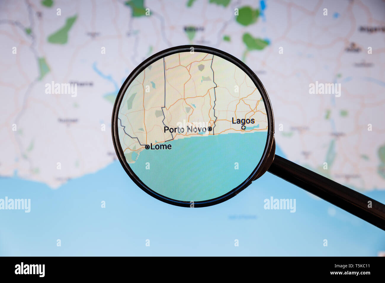 Porto Novo, Benin. Political map. City visualization illustrative concept on display screen through magnifying glass. Stock Photohttps://www.alamy.com/image-license-details/?v=1https://www.alamy.com/porto-novo-benin-political-map-city-visualization-illustrative-concept-on-display-screen-through-magnifying-glass-image244444957.html
RFT5KC11–Porto Novo, Benin. Political map. City visualization illustrative concept on display screen through magnifying glass.
 map of benin Stock Photohttps://www.alamy.com/image-license-details/?v=1https://www.alamy.com/stock-photo-map-of-benin-115628437.html
RFGM3971–map of benin
![. Nederlands: Titel catalogus Leupe (NA): Platte grond van de Logie tot Sadrangapatnam; 16 Rijnl. roeden = 110 strepen; omgerekende schaal [1 : 547]; Legenda: A-M VEL1087a: Verheven teekening van genoemde Logie; VEL1087b: Platte grond van de Logie tot Porto Novo; Schaal van 10 Rijnl. roeden = 122 strepen; omgerekende schaal [1 : 308]; Legenda: A-I VEL1087c: Verheven teekening van genoemde Logie; In het midden gerestaureerd, waar de kaart dubbelgevouwen heeft gezeten. Rechts boven genummerd: 25.e. Notities verso: 52 [in potlood] / 588 a. English: According to the Leupe catalogue (NA), the orig Stock Photo . Nederlands: Titel catalogus Leupe (NA): Platte grond van de Logie tot Sadrangapatnam; 16 Rijnl. roeden = 110 strepen; omgerekende schaal [1 : 547]; Legenda: A-M VEL1087a: Verheven teekening van genoemde Logie; VEL1087b: Platte grond van de Logie tot Porto Novo; Schaal van 10 Rijnl. roeden = 122 strepen; omgerekende schaal [1 : 308]; Legenda: A-I VEL1087c: Verheven teekening van genoemde Logie; In het midden gerestaureerd, waar de kaart dubbelgevouwen heeft gezeten. Rechts boven genummerd: 25.e. Notities verso: 52 [in potlood] / 588 a. English: According to the Leupe catalogue (NA), the orig Stock Photo](https://c8.alamy.com/comp/MMPAJ1/nederlands-titel-catalogus-leupe-na-platte-grond-van-de-logie-tot-sadrangapatnam-16-rijnl-roeden-=-110-strepen-omgerekende-schaal-1-547-legenda-a-m-vel1087a-verheven-teekening-van-genoemde-logie-vel1087b-platte-grond-van-de-logie-tot-porto-novo-schaal-van-10-rijnl-roeden-=-122-strepen-omgerekende-schaal-1-308-legenda-a-i-vel1087c-verheven-teekening-van-genoemde-logie-in-het-midden-gerestaureerd-waar-de-kaart-dubbelgevouwen-heeft-gezeten-rechts-boven-genummerd-25e-notities-verso-52-in-potlood-588-a-english-according-to-the-leupe-catalogue-na-the-orig-MMPAJ1.jpg) . Nederlands: Titel catalogus Leupe (NA): Platte grond van de Logie tot Sadrangapatnam; 16 Rijnl. roeden = 110 strepen; omgerekende schaal [1 : 547]; Legenda: A-M VEL1087a: Verheven teekening van genoemde Logie; VEL1087b: Platte grond van de Logie tot Porto Novo; Schaal van 10 Rijnl. roeden = 122 strepen; omgerekende schaal [1 : 308]; Legenda: A-I VEL1087c: Verheven teekening van genoemde Logie; In het midden gerestaureerd, waar de kaart dubbelgevouwen heeft gezeten. Rechts boven genummerd: 25.e. Notities verso: 52 [in potlood] / 588 a. English: According to the Leupe catalogue (NA), the orig Stock Photohttps://www.alamy.com/image-license-details/?v=1https://www.alamy.com/nederlands-titel-catalogus-leupe-na-platte-grond-van-de-logie-tot-sadrangapatnam-16-rijnl-roeden-=-110-strepen-omgerekende-schaal-1-547-legenda-a-m-vel1087a-verheven-teekening-van-genoemde-logie-vel1087b-platte-grond-van-de-logie-tot-porto-novo-schaal-van-10-rijnl-roeden-=-122-strepen-omgerekende-schaal-1-308-legenda-a-i-vel1087c-verheven-teekening-van-genoemde-logie-in-het-midden-gerestaureerd-waar-de-kaart-dubbelgevouwen-heeft-gezeten-rechts-boven-genummerd-25e-notities-verso-52-in-potlood-588-a-english-according-to-the-leupe-catalogue-na-the-orig-image184888089.html
. Nederlands: Titel catalogus Leupe (NA): Platte grond van de Logie tot Sadrangapatnam; 16 Rijnl. roeden = 110 strepen; omgerekende schaal [1 : 547]; Legenda: A-M VEL1087a: Verheven teekening van genoemde Logie; VEL1087b: Platte grond van de Logie tot Porto Novo; Schaal van 10 Rijnl. roeden = 122 strepen; omgerekende schaal [1 : 308]; Legenda: A-I VEL1087c: Verheven teekening van genoemde Logie; In het midden gerestaureerd, waar de kaart dubbelgevouwen heeft gezeten. Rechts boven genummerd: 25.e. Notities verso: 52 [in potlood] / 588 a. English: According to the Leupe catalogue (NA), the orig Stock Photohttps://www.alamy.com/image-license-details/?v=1https://www.alamy.com/nederlands-titel-catalogus-leupe-na-platte-grond-van-de-logie-tot-sadrangapatnam-16-rijnl-roeden-=-110-strepen-omgerekende-schaal-1-547-legenda-a-m-vel1087a-verheven-teekening-van-genoemde-logie-vel1087b-platte-grond-van-de-logie-tot-porto-novo-schaal-van-10-rijnl-roeden-=-122-strepen-omgerekende-schaal-1-308-legenda-a-i-vel1087c-verheven-teekening-van-genoemde-logie-in-het-midden-gerestaureerd-waar-de-kaart-dubbelgevouwen-heeft-gezeten-rechts-boven-genummerd-25e-notities-verso-52-in-potlood-588-a-english-according-to-the-leupe-catalogue-na-the-orig-image184888089.htmlRMMMPAJ1–. Nederlands: Titel catalogus Leupe (NA): Platte grond van de Logie tot Sadrangapatnam; 16 Rijnl. roeden = 110 strepen; omgerekende schaal [1 : 547]; Legenda: A-M VEL1087a: Verheven teekening van genoemde Logie; VEL1087b: Platte grond van de Logie tot Porto Novo; Schaal van 10 Rijnl. roeden = 122 strepen; omgerekende schaal [1 : 308]; Legenda: A-I VEL1087c: Verheven teekening van genoemde Logie; In het midden gerestaureerd, waar de kaart dubbelgevouwen heeft gezeten. Rechts boven genummerd: 25.e. Notities verso: 52 [in potlood] / 588 a. English: According to the Leupe catalogue (NA), the orig
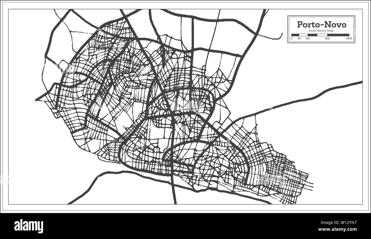 Porto Novo Benin City Map iin Black and White Color. Outline Map. Vector Illustration. Stock Vectorhttps://www.alamy.com/image-license-details/?v=1https://www.alamy.com/porto-novo-benin-city-map-iin-black-and-white-color-outline-map-vector-illustration-image258835843.html
RFW12YN7–Porto Novo Benin City Map iin Black and White Color. Outline Map. Vector Illustration.
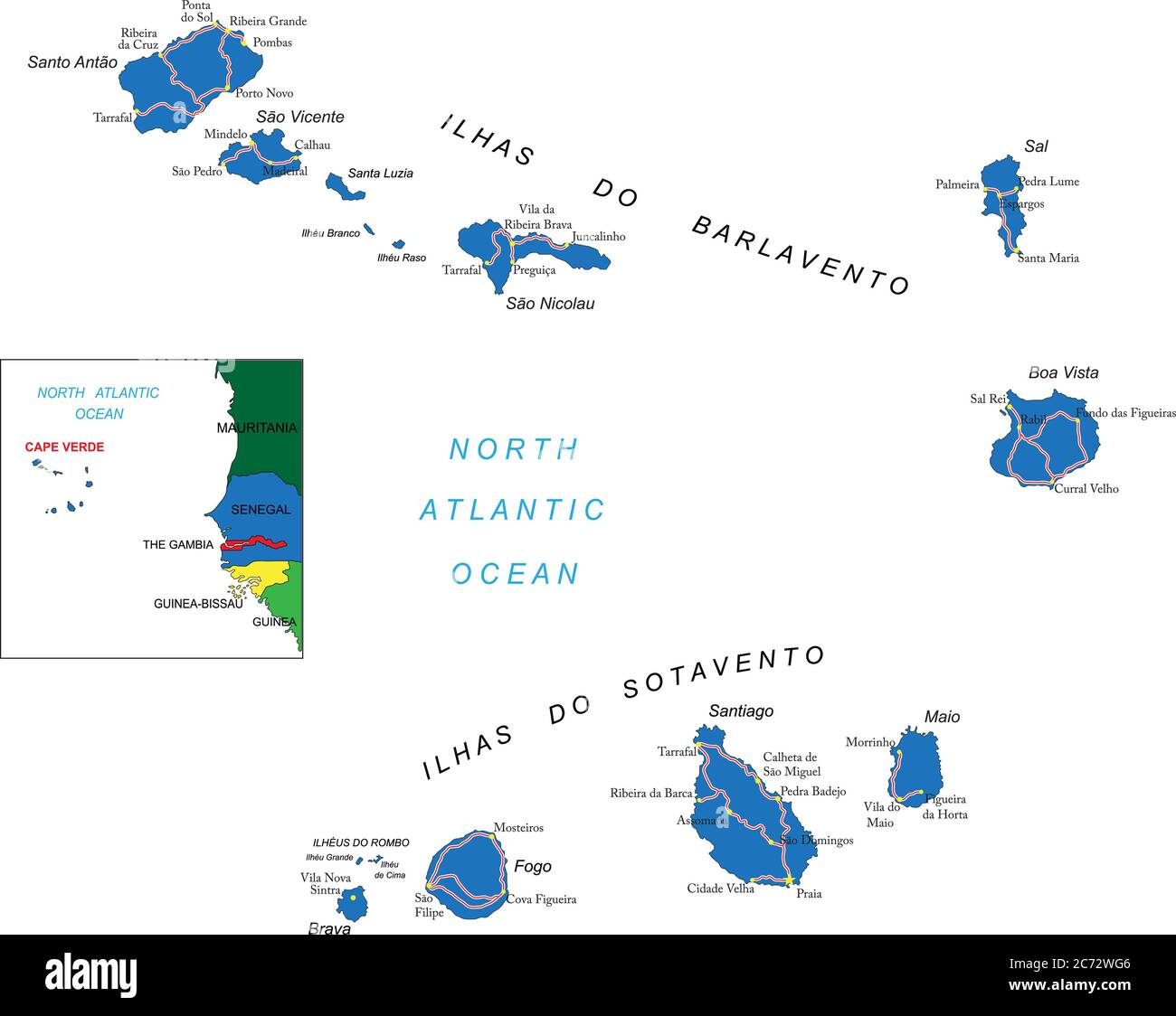 Cape Verde islands highly detailed vector map with administrative regions, main cities and roads. Stock Vectorhttps://www.alamy.com/image-license-details/?v=1https://www.alamy.com/cape-verde-islands-highly-detailed-vector-map-with-administrative-regions-main-cities-and-roads-image365784278.html
RF2C72WG6–Cape Verde islands highly detailed vector map with administrative regions, main cities and roads.
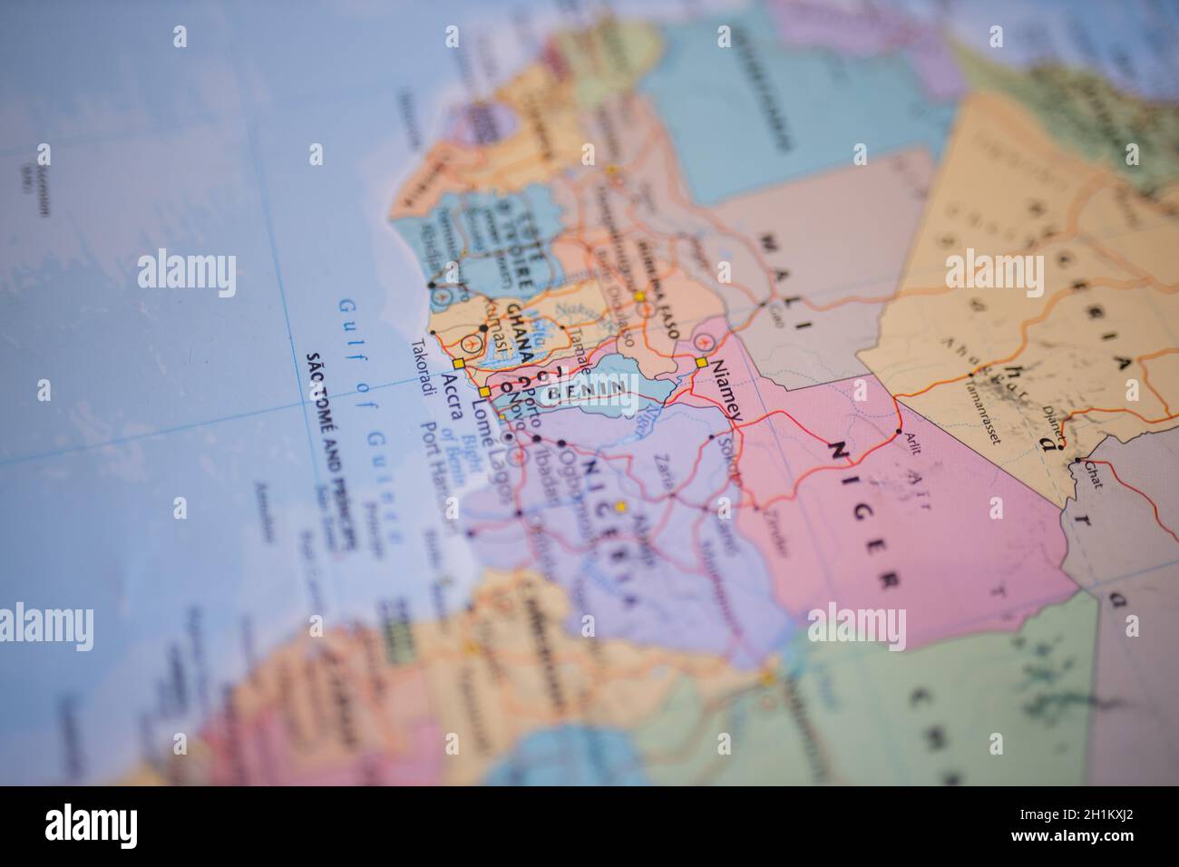 Benin on a map of Western Africa with its main roads marked in red and the rest of the countries blurred out Stock Photohttps://www.alamy.com/image-license-details/?v=1https://www.alamy.com/benin-on-a-map-of-western-africa-with-its-main-roads-marked-in-red-and-the-rest-of-the-countries-blurred-out-image448522202.html
RM2H1KXJ2–Benin on a map of Western Africa with its main roads marked in red and the rest of the countries blurred out
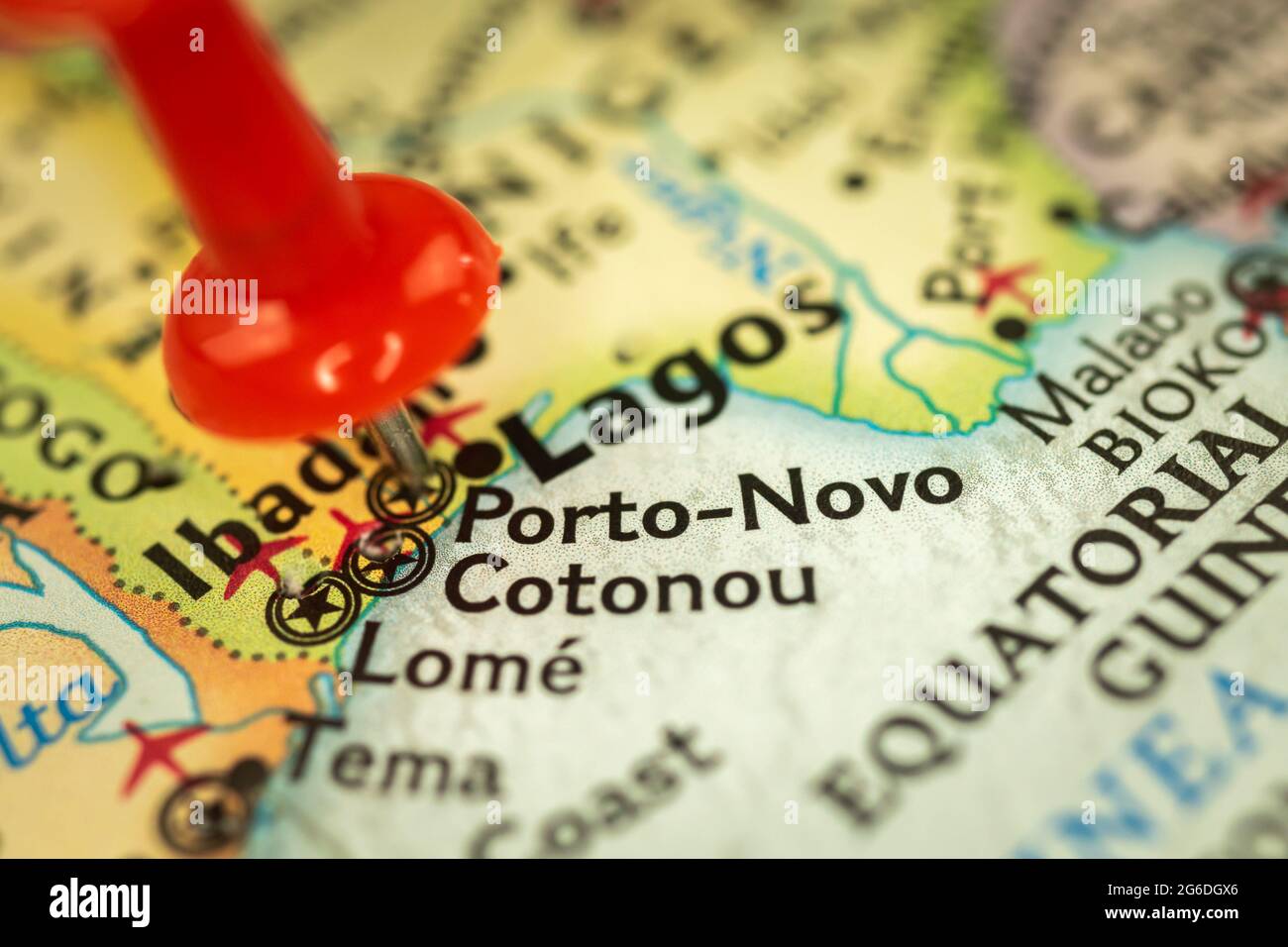 Location Porto-Novo in Benin, map with push pin closeup, travel and journey concept with marker, Africa Stock Photohttps://www.alamy.com/image-license-details/?v=1https://www.alamy.com/location-porto-novo-in-benin-map-with-push-pin-closeup-travel-and-journey-concept-with-marker-africa-image434245790.html
RF2G6DGX6–Location Porto-Novo in Benin, map with push pin closeup, travel and journey concept with marker, Africa
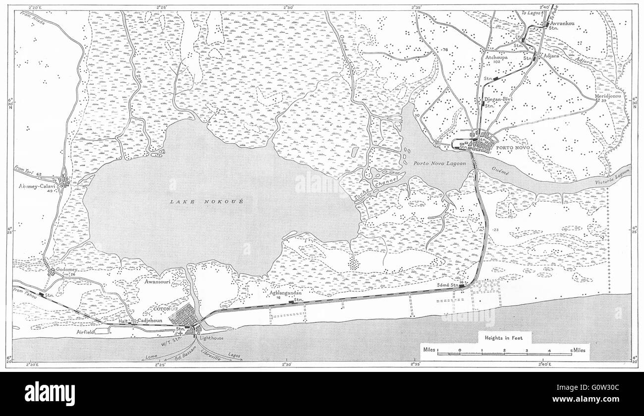 BENIN: Dahomey: Cotonou and Porto Novo, 1944 vintage map Stock Photohttps://www.alamy.com/image-license-details/?v=1https://www.alamy.com/stock-photo-benin-dahomey-cotonou-and-porto-novo-1944-vintage-map-103813372.html
RFG0W30C–BENIN: Dahomey: Cotonou and Porto Novo, 1944 vintage map
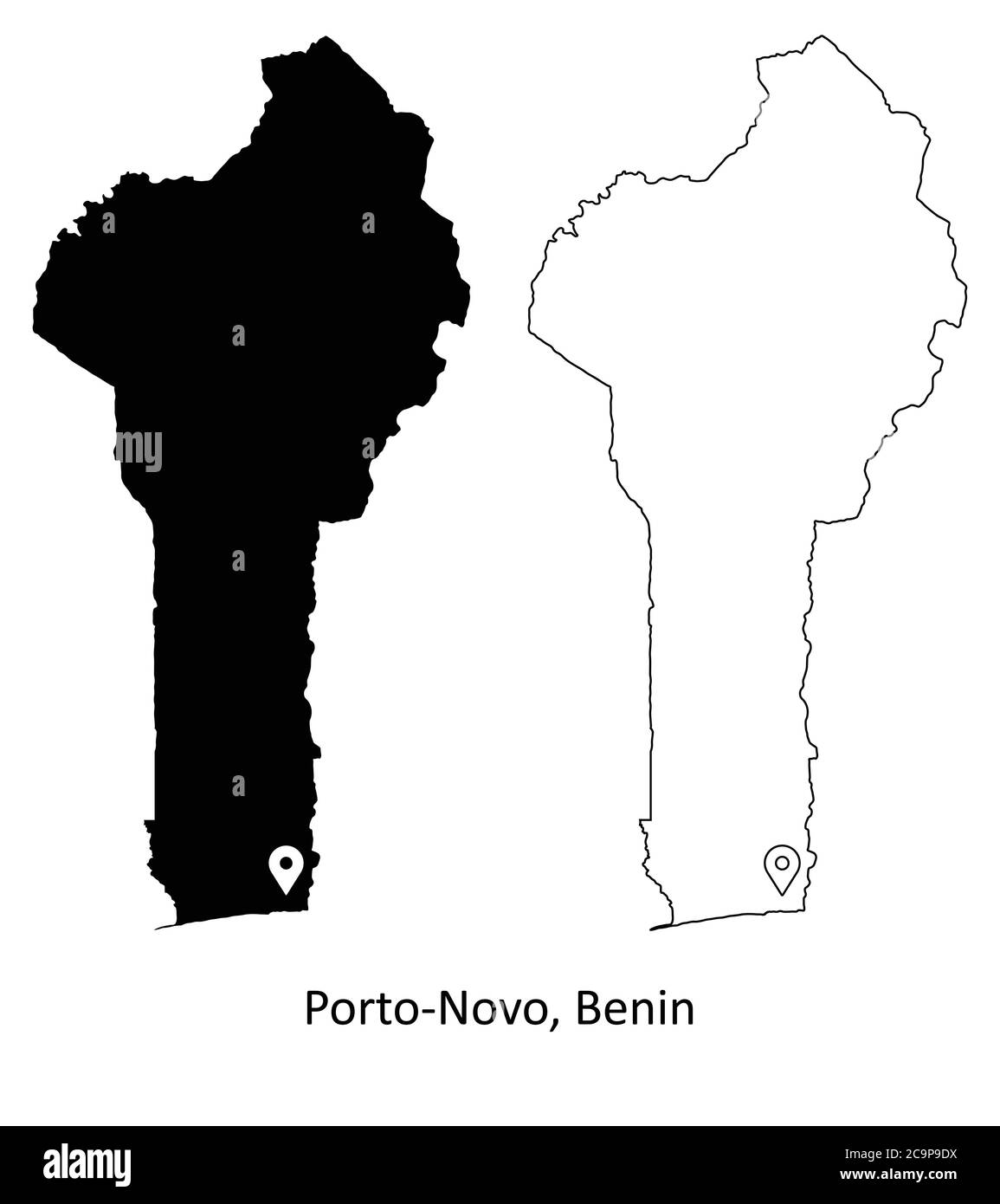 Porto-Novo Benin. Detailed Country Map with Location Pin on Capital City. Black silhouette and outline maps isolated on white background. EPS Vector Stock Vectorhttps://www.alamy.com/image-license-details/?v=1https://www.alamy.com/porto-novo-benin-detailed-country-map-with-location-pin-on-capital-city-black-silhouette-and-outline-maps-isolated-on-white-background-eps-vector-image367440022.html
RF2C9P9DX–Porto-Novo Benin. Detailed Country Map with Location Pin on Capital City. Black silhouette and outline maps isolated on white background. EPS Vector
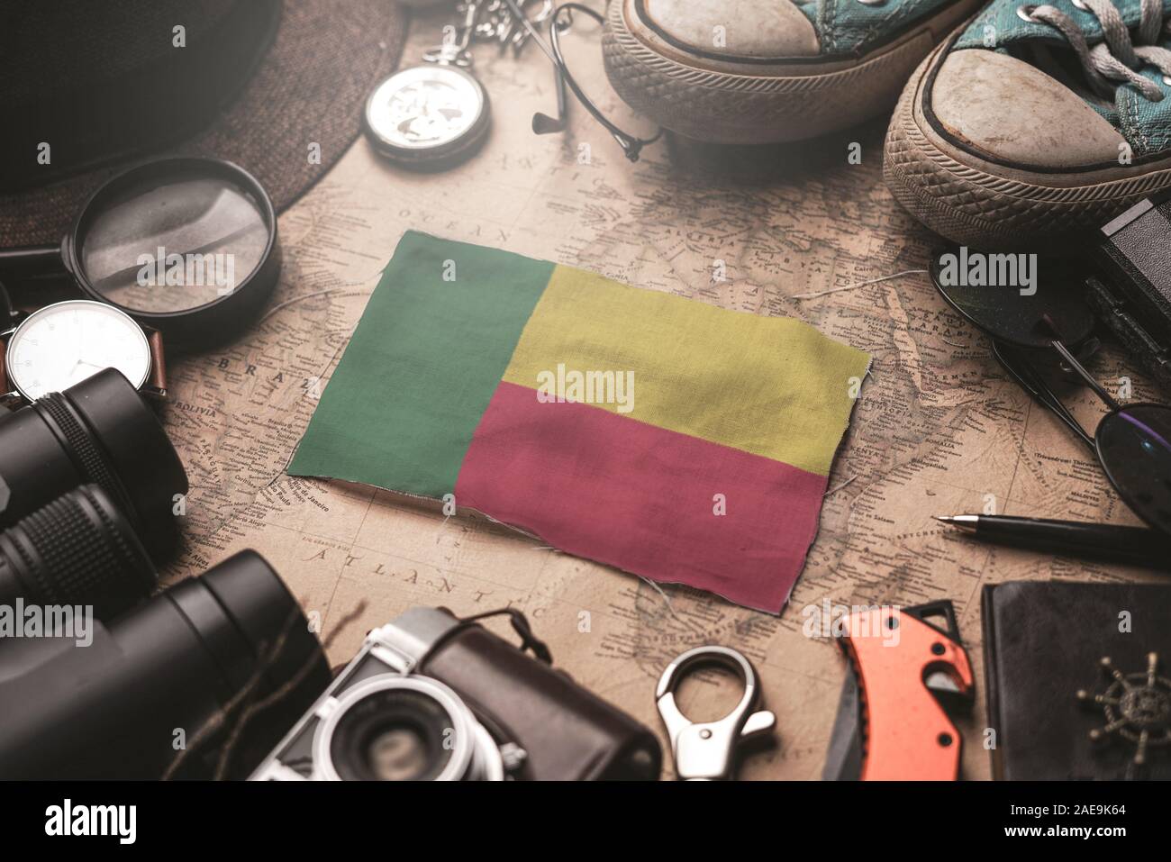 Benin Flag Between Traveler's Accessories on Old Vintage Map. Tourist Destination Concept. Stock Photohttps://www.alamy.com/image-license-details/?v=1https://www.alamy.com/benin-flag-between-travelers-accessories-on-old-vintage-map-tourist-destination-concept-image335814812.html
RF2AE9K64–Benin Flag Between Traveler's Accessories on Old Vintage Map. Tourist Destination Concept.
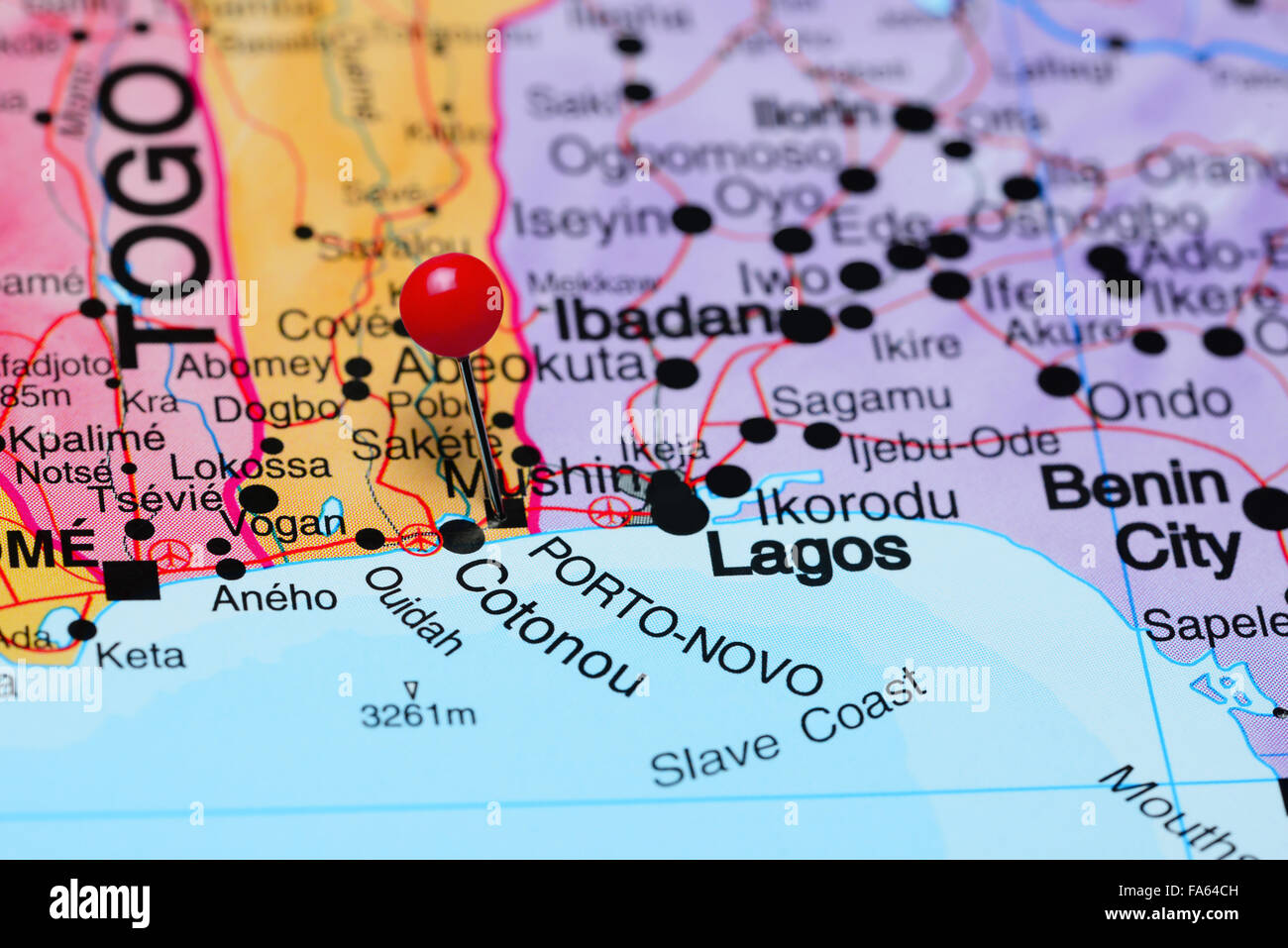 Porto Novo pinned on a map of Africa Stock Photohttps://www.alamy.com/image-license-details/?v=1https://www.alamy.com/stock-photo-porto-novo-pinned-on-a-map-of-africa-92333601.html
RFFA64CH–Porto Novo pinned on a map of Africa
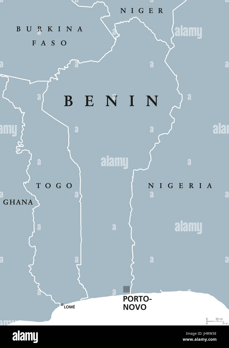 Benin political map with capital Porto-Novo. Formerly Dahomey,a republic and country in West Africa on the Gulf of Guinea. Gray illustration. Stock Photohttps://www.alamy.com/image-license-details/?v=1https://www.alamy.com/stock-photo-benin-political-map-with-capital-porto-novo-formerly-dahomeya-republic-148656690.html
RFJHRW3E–Benin political map with capital Porto-Novo. Formerly Dahomey,a republic and country in West Africa on the Gulf of Guinea. Gray illustration.
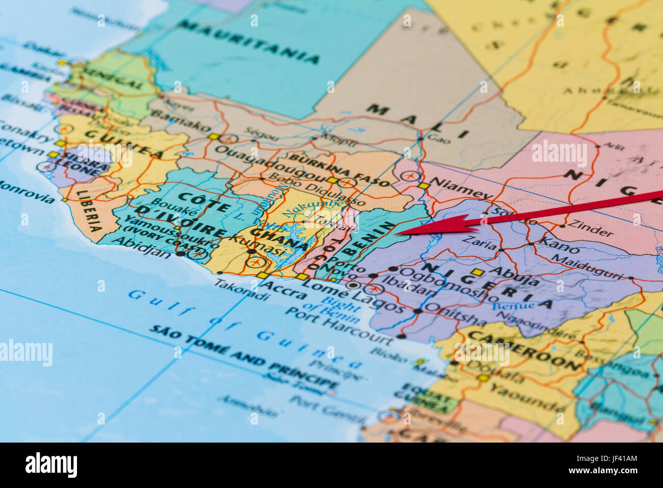 Photo of Benin. Country indicated by red arrow. Country on African continent. Stock Photohttps://www.alamy.com/image-license-details/?v=1https://www.alamy.com/stock-photo-photo-of-benin-country-indicated-by-red-arrow-country-on-african-continent-146991676.html
RFJF41AM–Photo of Benin. Country indicated by red arrow. Country on African continent.
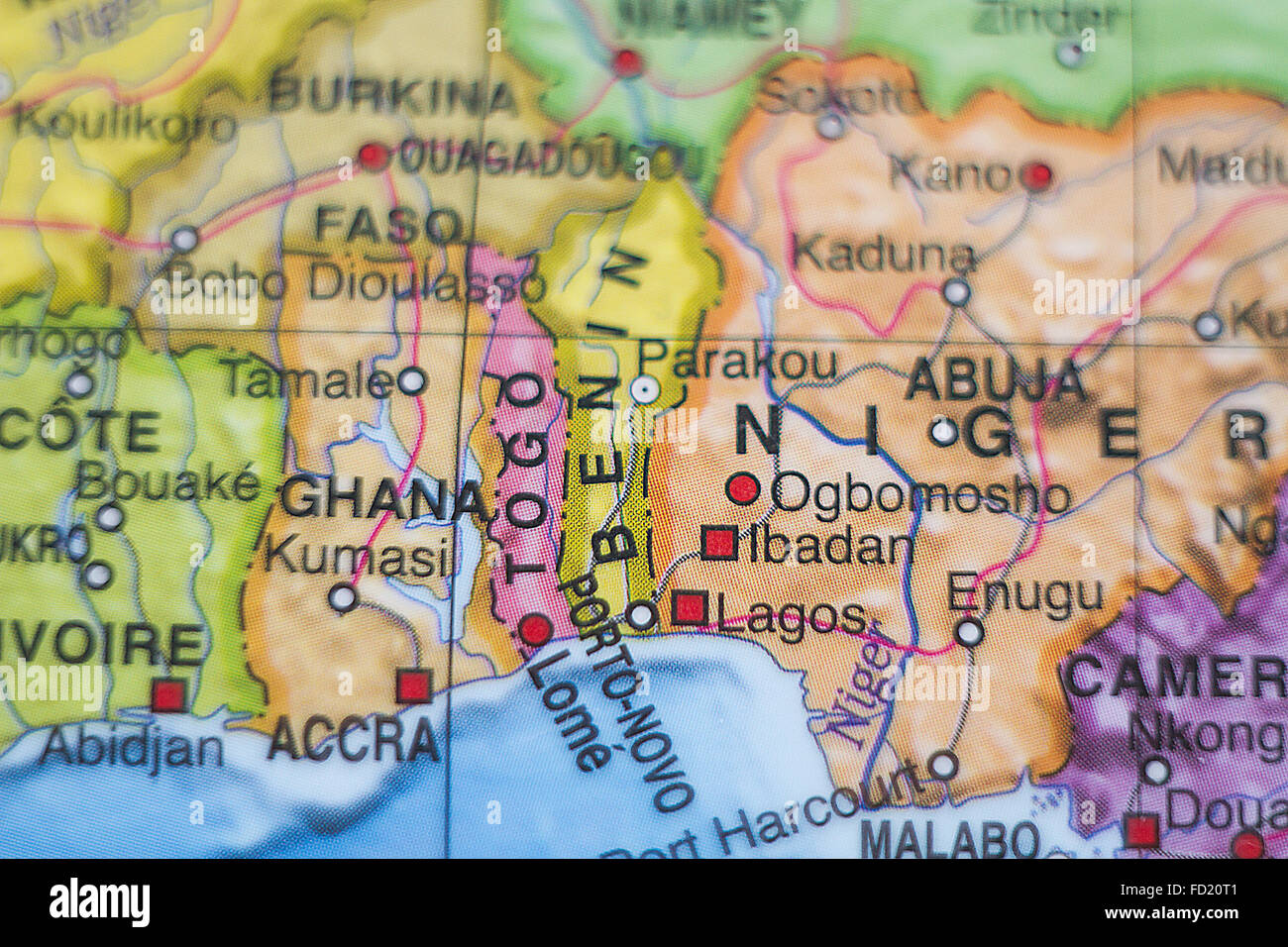 Photo of a map of Benin and the capital Porto-novo . Stock Photohttps://www.alamy.com/image-license-details/?v=1https://www.alamy.com/stock-photo-photo-of-a-map-of-benin-and-the-capital-porto-novo-94086945.html
RFFD20T1–Photo of a map of Benin and the capital Porto-novo .
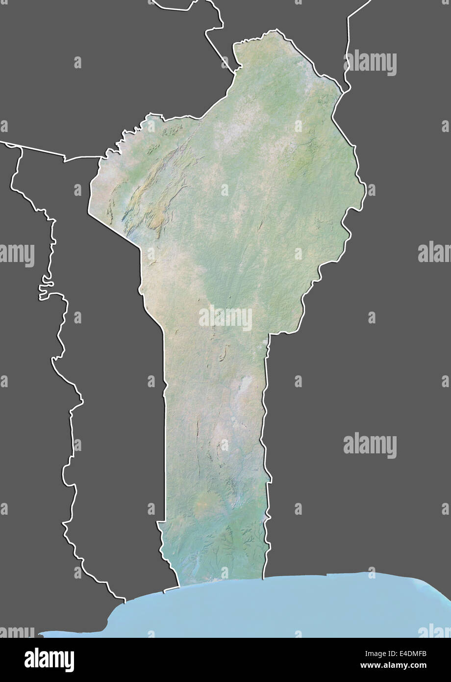 Benin, Relief Map With Border and Mask Stock Photohttps://www.alamy.com/image-license-details/?v=1https://www.alamy.com/stock-photo-benin-relief-map-with-border-and-mask-71601583.html
RME4DMFB–Benin, Relief Map With Border and Mask
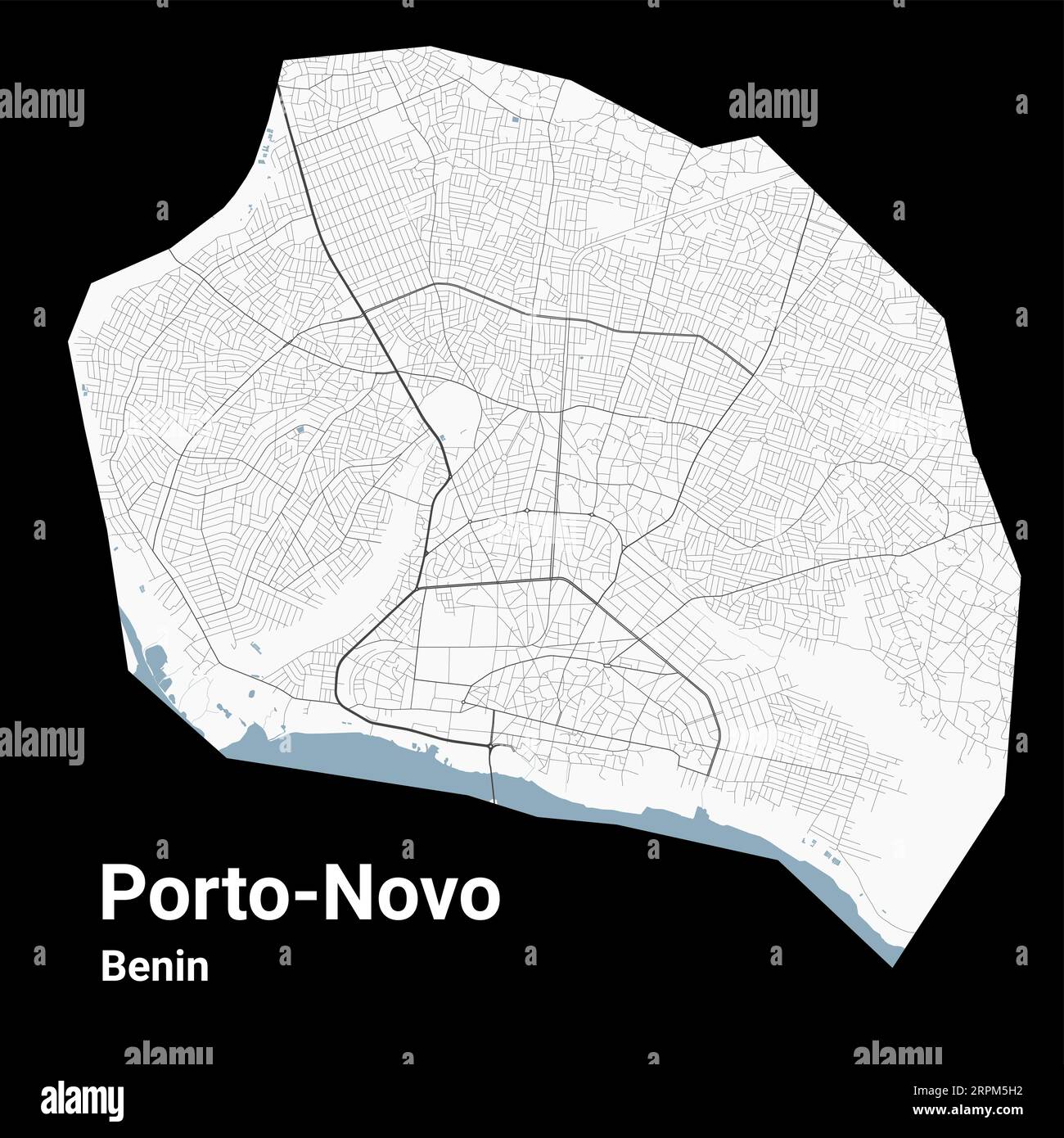 Porto-Novo map, capital city of Benin. Municipal administrative area map with rivers and roads, parks and railways. Vector illustration. Stock Vectorhttps://www.alamy.com/image-license-details/?v=1https://www.alamy.com/porto-novo-map-capital-city-of-benin-municipal-administrative-area-map-with-rivers-and-roads-parks-and-railways-vector-illustration-image564697646.html
RF2RPM5H2–Porto-Novo map, capital city of Benin. Municipal administrative area map with rivers and roads, parks and railways. Vector illustration.
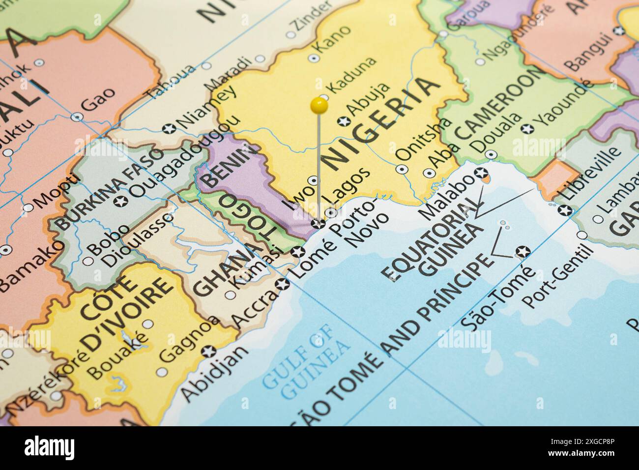 Close up to a Porto Novo city with a yellow pin needle into Benin country political map Stock Photohttps://www.alamy.com/image-license-details/?v=1https://www.alamy.com/close-up-to-a-porto-novo-city-with-a-yellow-pin-needle-into-benin-country-political-map-image612478294.html
RF2XGCP8P–Close up to a Porto Novo city with a yellow pin needle into Benin country political map
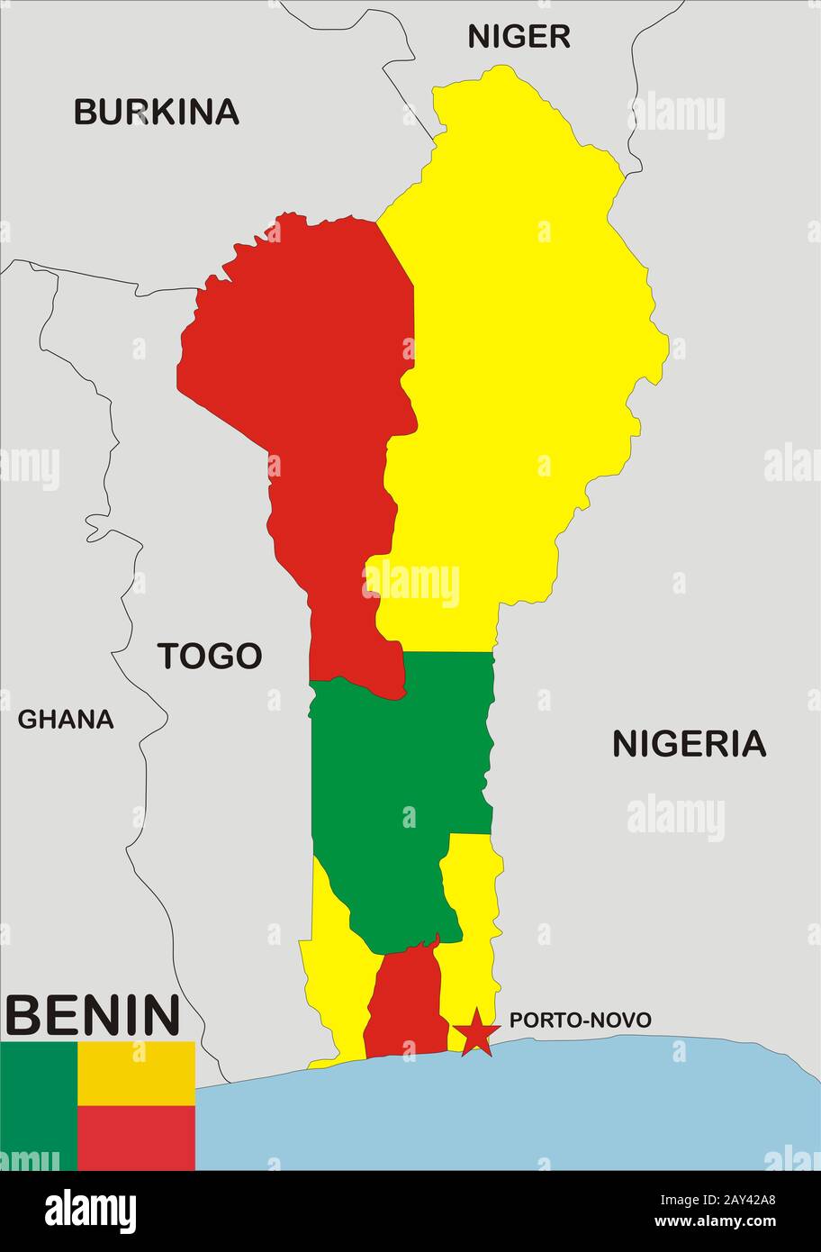 Benin Map Stock Photohttps://www.alamy.com/image-license-details/?v=1https://www.alamy.com/benin-map-image343682368.html
RM2AY42A8–Benin Map
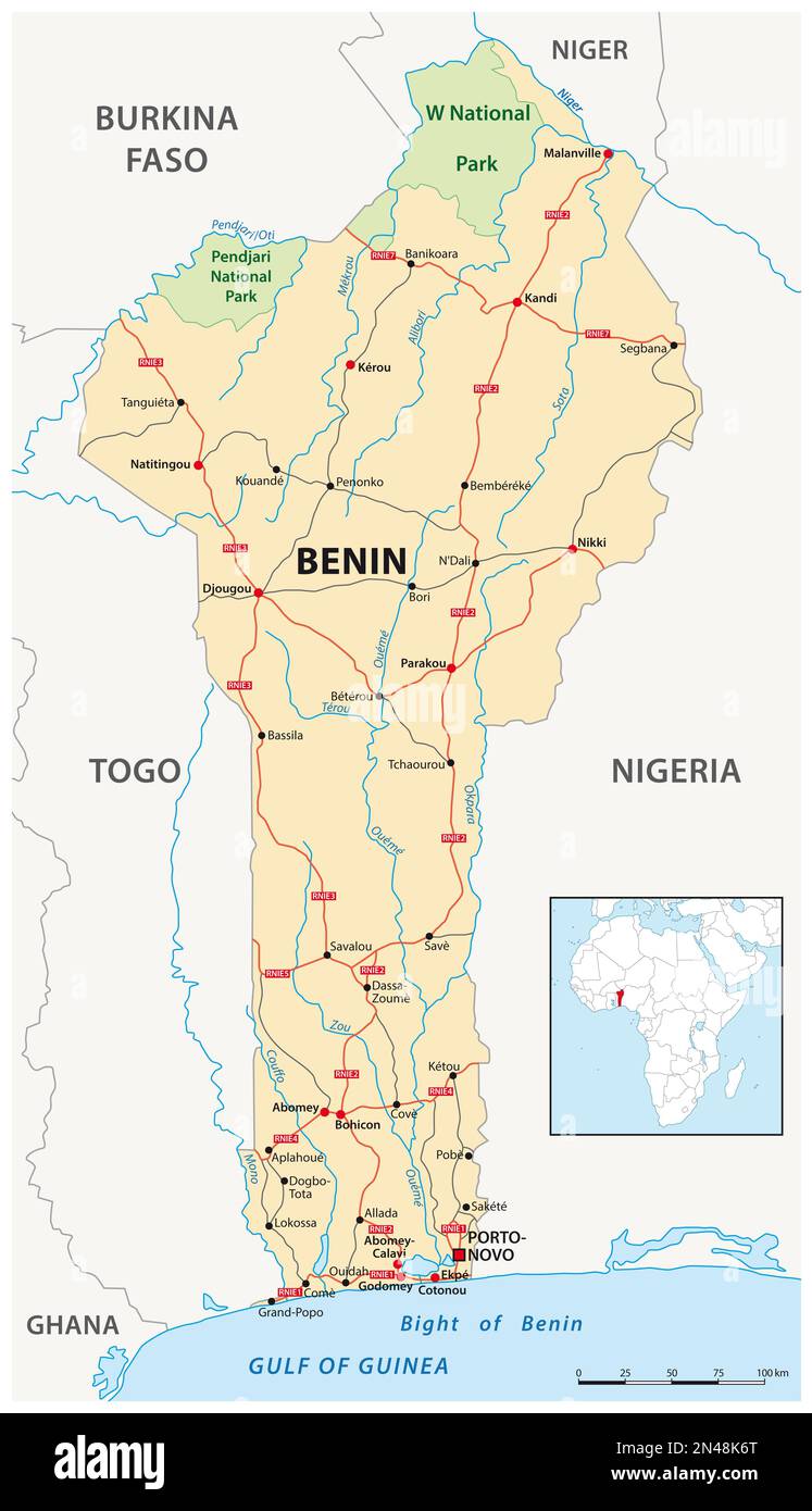 Vector road map of the West African state of Benin Stock Photohttps://www.alamy.com/image-license-details/?v=1https://www.alamy.com/vector-road-map-of-the-west-african-state-of-benin-image518960368.html
RF2N48K6T–Vector road map of the West African state of Benin
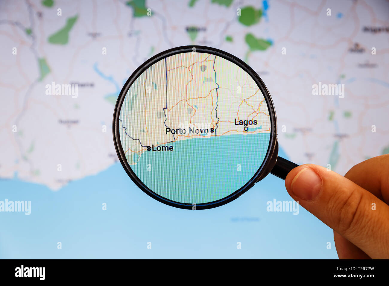 Porto Novo, Benin. Political map. City visualization illustrative concept on display screen through magnifying glass in the hand. Stock Photohttps://www.alamy.com/image-license-details/?v=1https://www.alamy.com/porto-novo-benin-political-map-city-visualization-illustrative-concept-on-display-screen-through-magnifying-glass-in-the-hand-image244529037.html
RFT5R77W–Porto Novo, Benin. Political map. City visualization illustrative concept on display screen through magnifying glass in the hand.
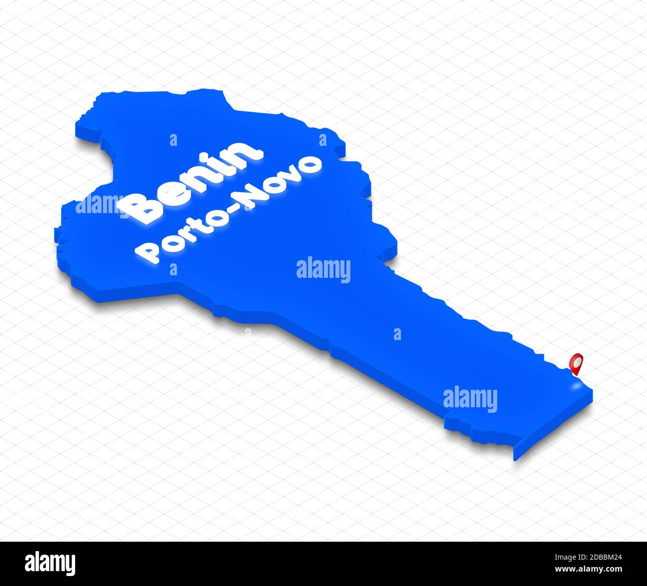 Illustration of a blue ground map of Benin on grid background. Right 3D isometric perspective projection with the name of country and capital Porto-No Stock Photohttps://www.alamy.com/image-license-details/?v=1https://www.alamy.com/illustration-of-a-blue-ground-map-of-benin-on-grid-background-right-3d-isometric-perspective-projection-with-the-name-of-country-and-capital-porto-no-image385646524.html
RF2DBBM24–Illustration of a blue ground map of Benin on grid background. Right 3D isometric perspective projection with the name of country and capital Porto-No
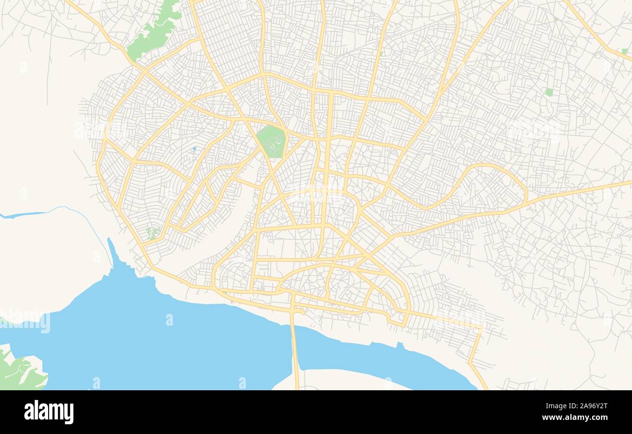 Printable street map of Porto-Novo, Benin. Map template for business use. Stock Vectorhttps://www.alamy.com/image-license-details/?v=1https://www.alamy.com/printable-street-map-of-porto-novo-benin-map-template-for-business-use-image332681856.html
RF2A96Y2T–Printable street map of Porto-Novo, Benin. Map template for business use.
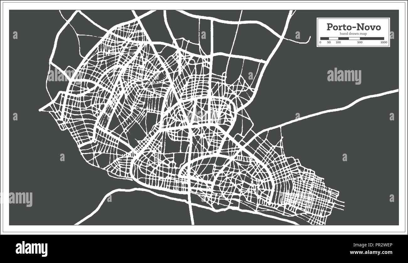 Porto Novo Benin City Map in Retro Style. Outline Map. Vector Illustration. Stock Vectorhttps://www.alamy.com/image-license-details/?v=1https://www.alamy.com/porto-novo-benin-city-map-in-retro-style-outline-map-vector-illustration-image220725422.html
RFPR2WEP–Porto Novo Benin City Map in Retro Style. Outline Map. Vector Illustration.
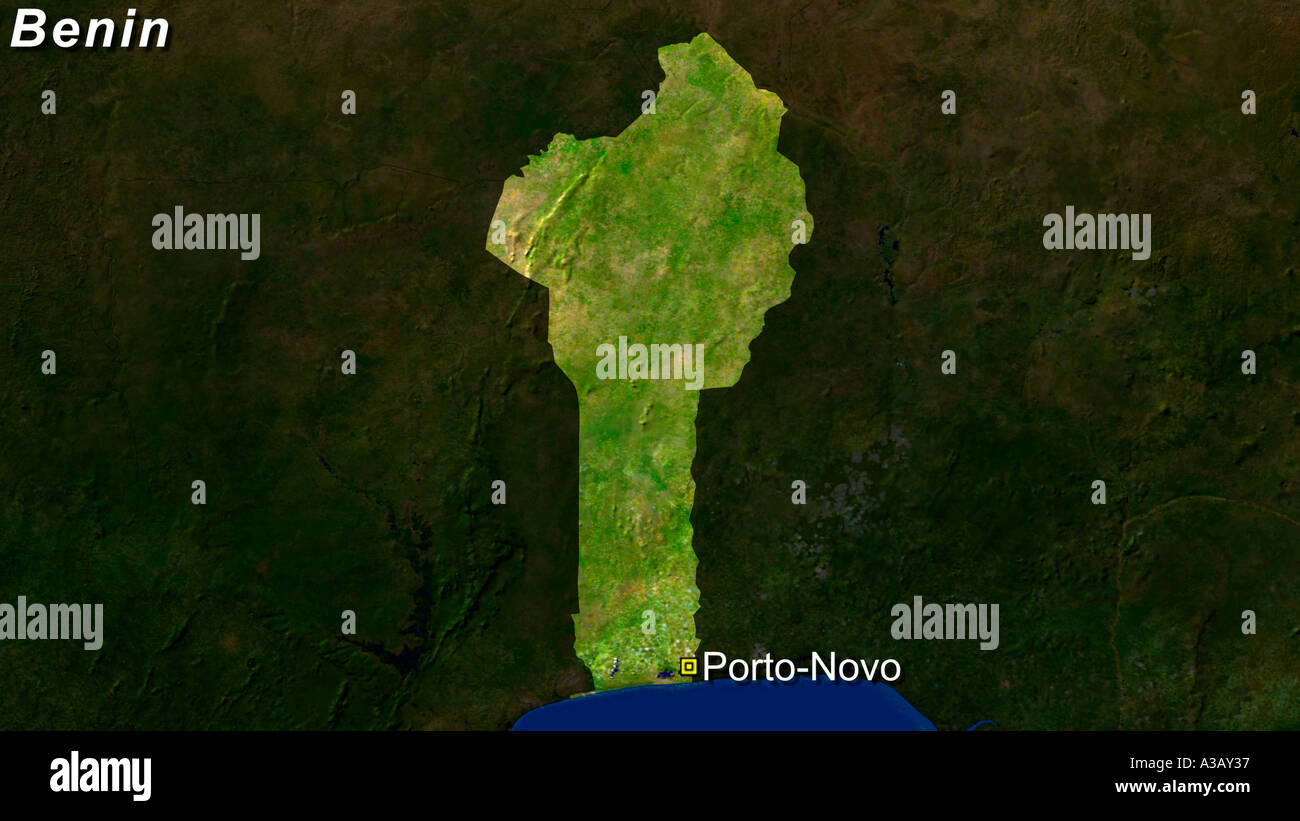 Satellite Image Of Benin With Porto-Novo Highlighted Stock Photohttps://www.alamy.com/image-license-details/?v=1https://www.alamy.com/satellite-image-of-benin-with-porto-novo-highlighted-image3502902.html
RFA3AY37–Satellite Image Of Benin With Porto-Novo Highlighted
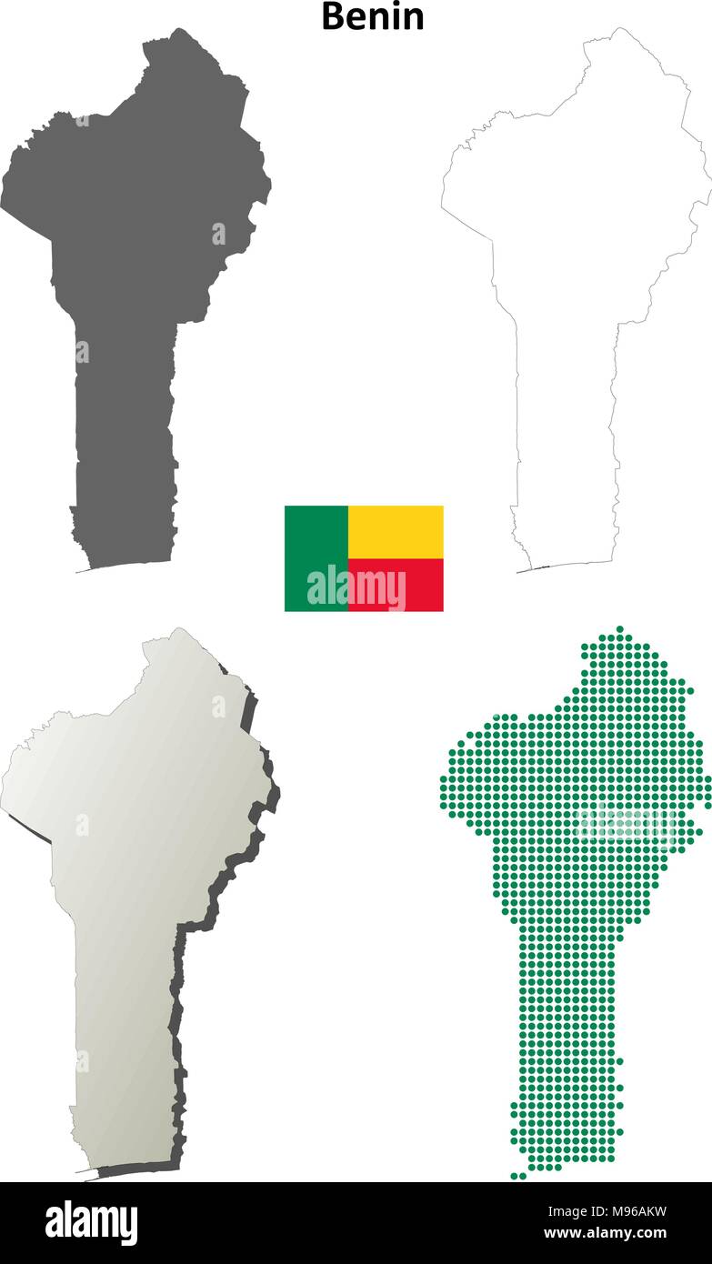 Benin outline map set Stock Vectorhttps://www.alamy.com/image-license-details/?v=1https://www.alamy.com/benin-outline-map-set-image177775693.html
RFM96AKW–Benin outline map set
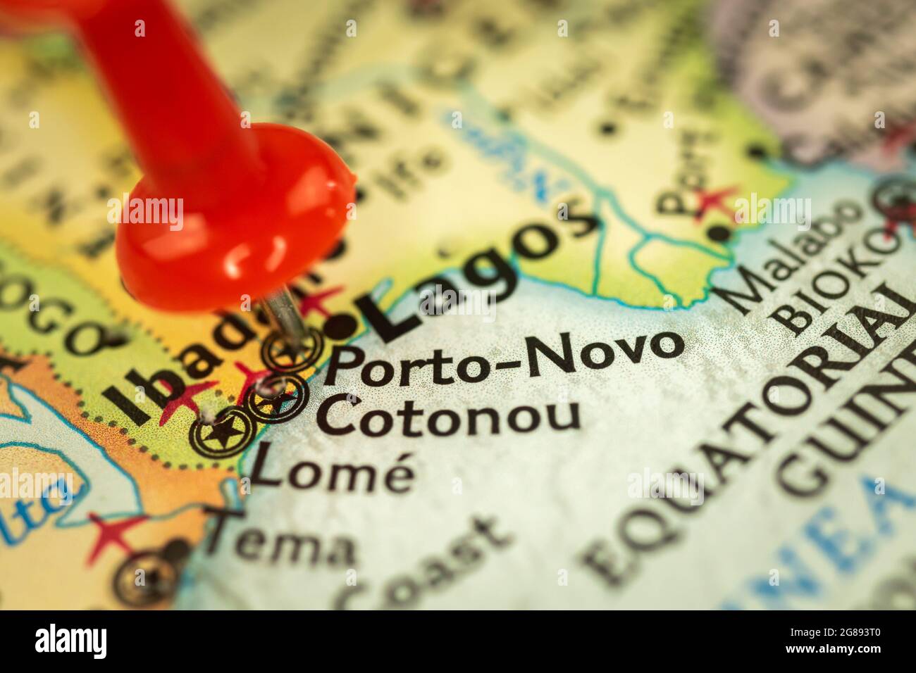 Location Porto-Novo in Benin, map with push pin closeup, travel and journey concept with marker, Africa Stock Photohttps://www.alamy.com/image-license-details/?v=1https://www.alamy.com/location-porto-novo-in-benin-map-with-push-pin-closeup-travel-and-journey-concept-with-marker-africa-image435377040.html
RF2G893T0–Location Porto-Novo in Benin, map with push pin closeup, travel and journey concept with marker, Africa
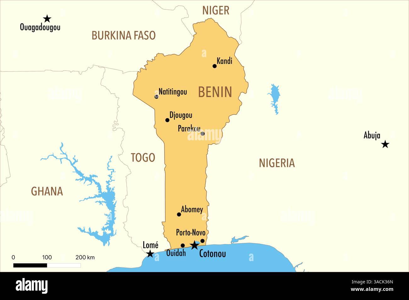 Map of Benin with Major Cities and Neighboring Countries Stock Photohttps://www.alamy.com/image-license-details/?v=1https://www.alamy.com/map-of-benin-with-major-cities-and-neighboring-countries-image661789485.html
RF3ACK36N–Map of Benin with Major Cities and Neighboring Countries
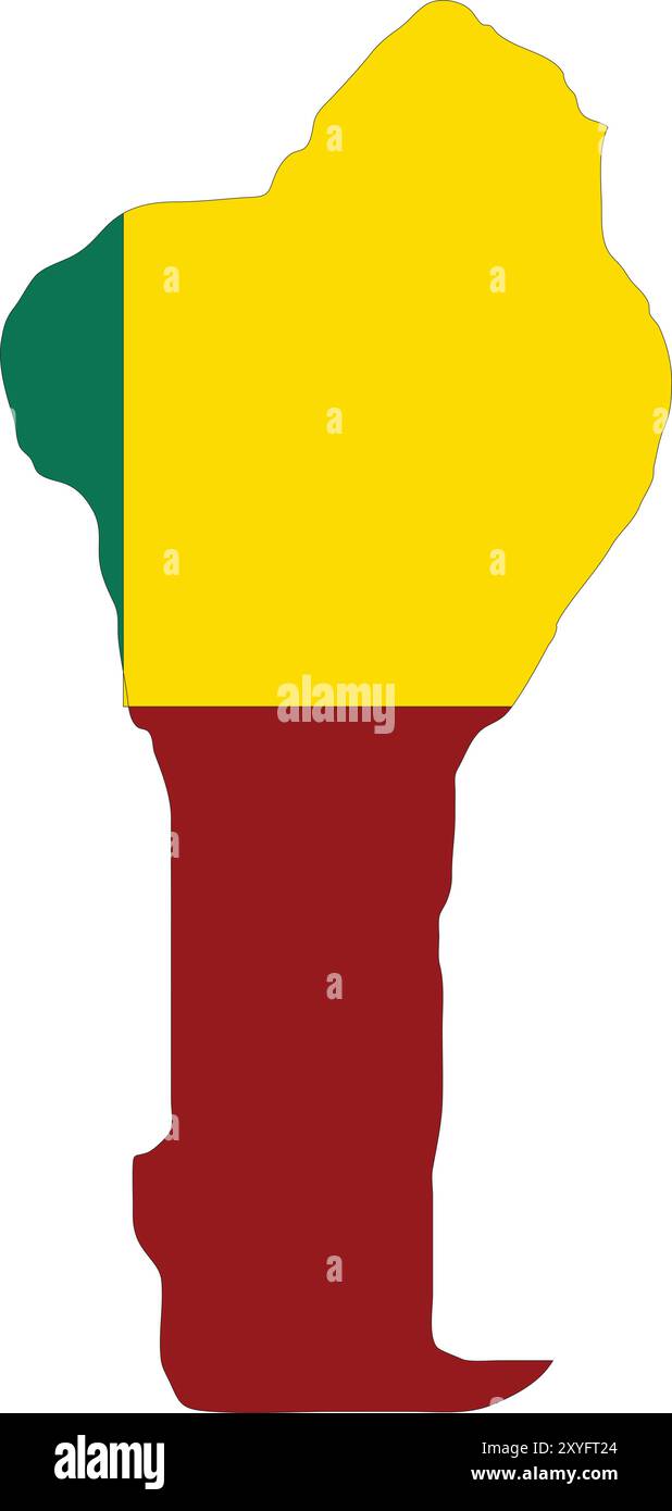 Benin Flag in Map, Benin Map with Flag, Country Map, Benin with Flag, Nation Flag Benin Stock Vectorhttps://www.alamy.com/image-license-details/?v=1https://www.alamy.com/benin-flag-in-map-benin-map-with-flag-country-map-benin-with-flag-nation-flag-benin-image619306748.html
RF2XYFT24–Benin Flag in Map, Benin Map with Flag, Country Map, Benin with Flag, Nation Flag Benin
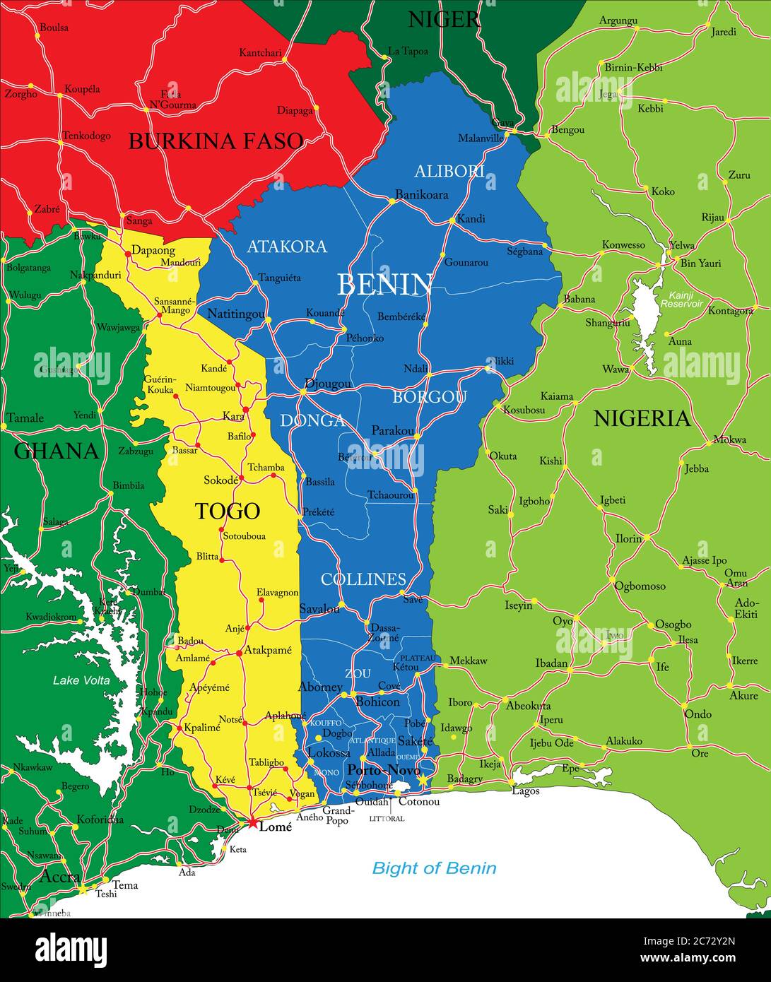 Highly detailed vector map of Benin with main cities and roads. Stock Vectorhttps://www.alamy.com/image-license-details/?v=1https://www.alamy.com/highly-detailed-vector-map-of-benin-with-main-cities-and-roads-image365785469.html
RF2C72Y2N–Highly detailed vector map of Benin with main cities and roads.
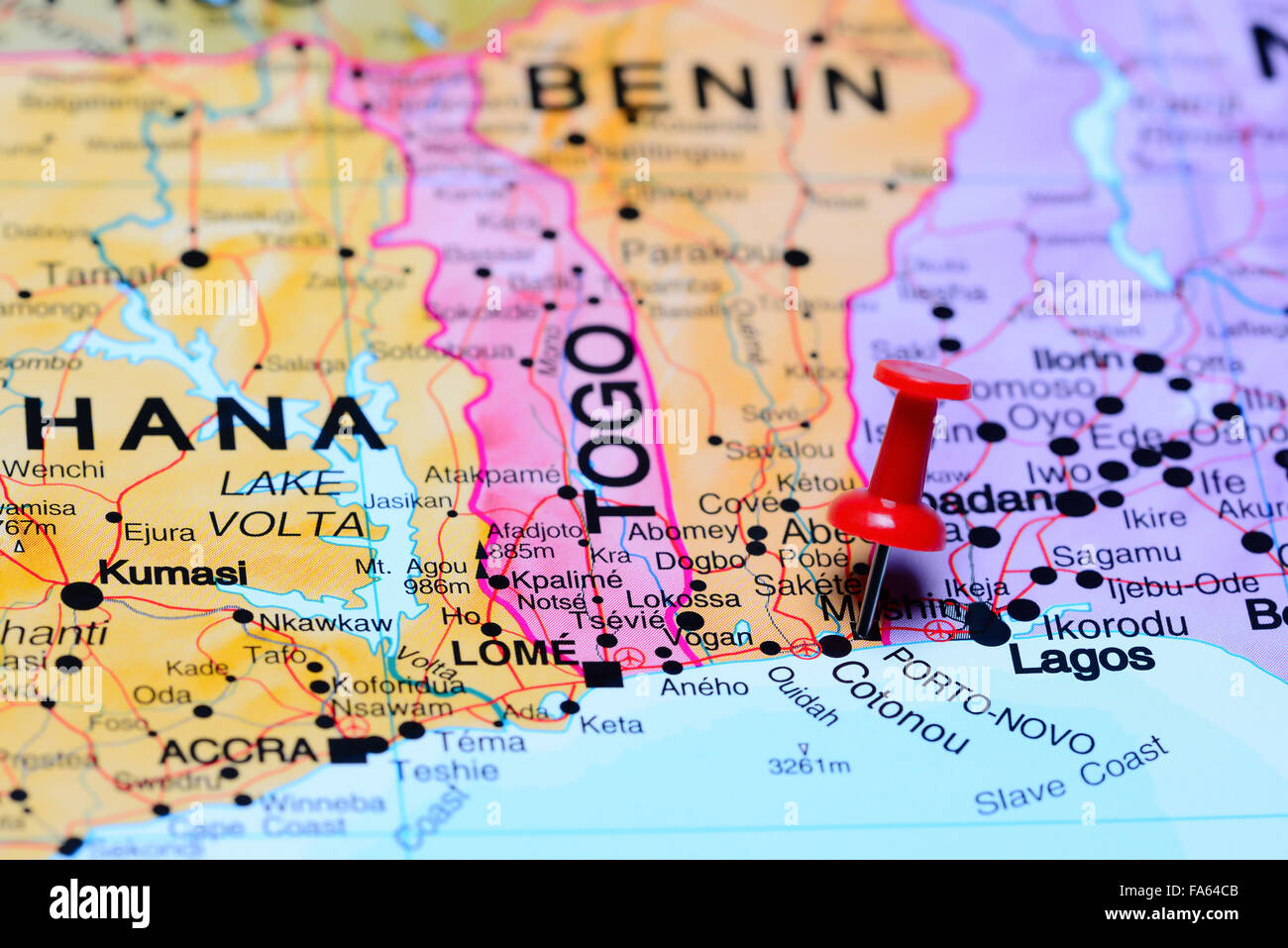 Porto Novo pinned on a map of Africa Stock Photohttps://www.alamy.com/image-license-details/?v=1https://www.alamy.com/stock-photo-porto-novo-pinned-on-a-map-of-africa-92333595.html
RFFA64CB–Porto Novo pinned on a map of Africa
RF3AJC4GF–Pixelated world map icons in 8-bit style, featuring over 190 countries. Perfect for digital art, educational projects, and themed designs.
 Porto Novo Cape Verde municipality map grey illustration silhouette Stock Vectorhttps://www.alamy.com/image-license-details/?v=1https://www.alamy.com/stock-photo-porto-novo-cape-verde-municipality-map-grey-illustration-silhouette-137568721.html
RFHYPP8H–Porto Novo Cape Verde municipality map grey illustration silhouette
 Photo of a map of Nigeria and the capital Abuja . Stock Photohttps://www.alamy.com/image-license-details/?v=1https://www.alamy.com/stock-photo-photo-of-a-map-of-nigeria-and-the-capital-abuja-127925106.html
RFHC3DNP–Photo of a map of Nigeria and the capital Abuja .
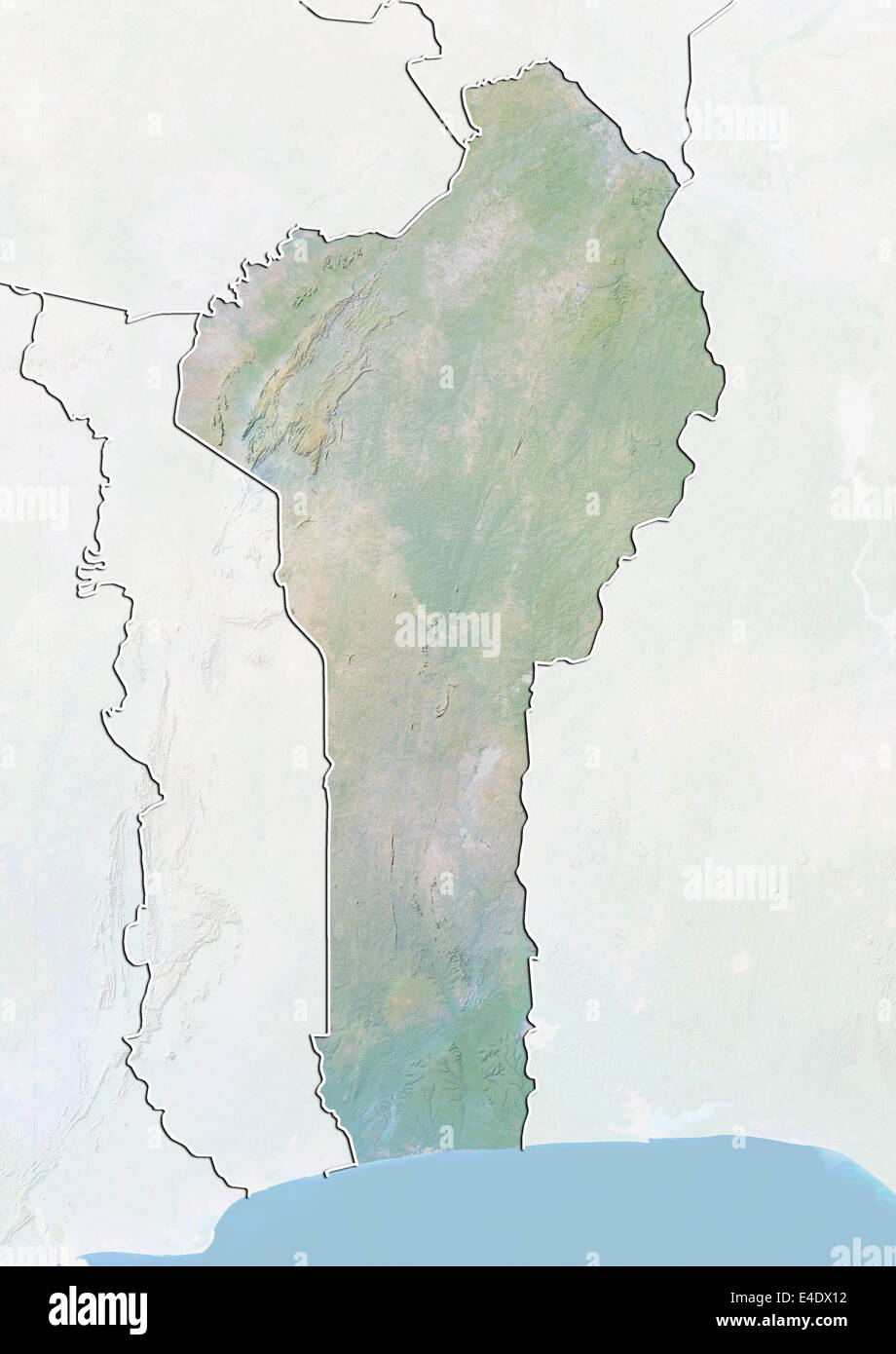 Benin, Relief Map With Border and Mask Stock Photohttps://www.alamy.com/image-license-details/?v=1https://www.alamy.com/stock-photo-benin-relief-map-with-border-and-mask-71605886.html
RME4DX12–Benin, Relief Map With Border and Mask
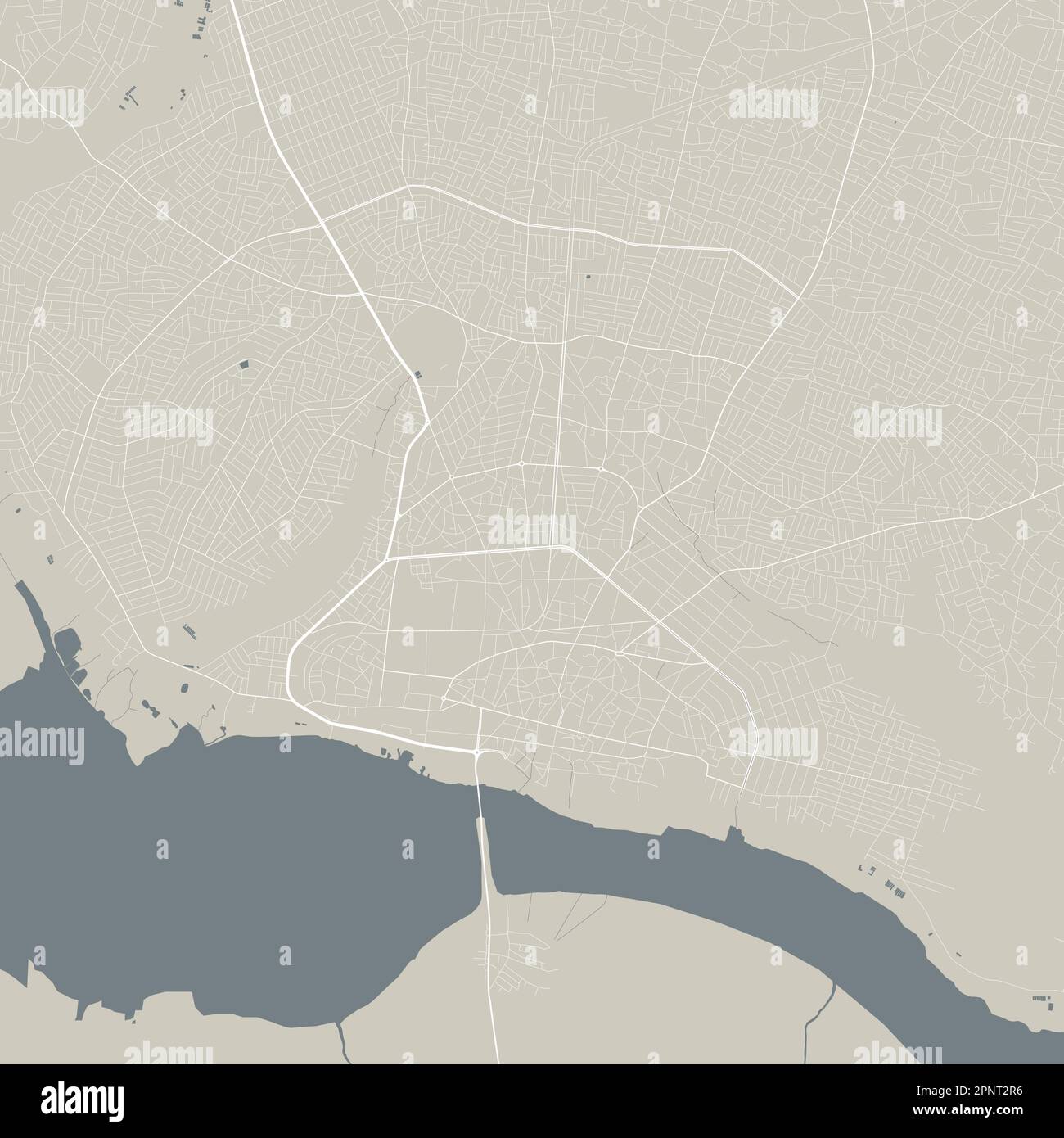 Detailed map of Porto-Novo city, capital of Benin. Municipal administrative area map with buildings, rivers and roads, parks and railways. Vector illu Stock Vectorhttps://www.alamy.com/image-license-details/?v=1https://www.alamy.com/detailed-map-of-porto-novo-city-capital-of-benin-municipal-administrative-area-map-with-buildings-rivers-and-roads-parks-and-railways-vector-illu-image546958250.html
RF2PNT2R6–Detailed map of Porto-Novo city, capital of Benin. Municipal administrative area map with buildings, rivers and roads, parks and railways. Vector illu
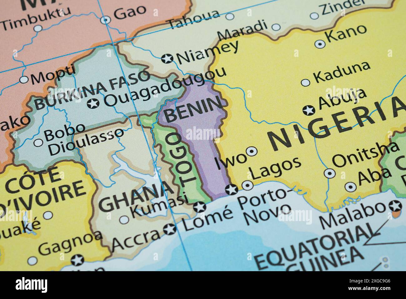 Close up to a Benin political map with country frontiers and most importants cities Stock Photohttps://www.alamy.com/image-license-details/?v=1https://www.alamy.com/close-up-to-a-benin-political-map-with-country-frontiers-and-most-importants-cities-image612468310.html
RF2XGC9G6–Close up to a Benin political map with country frontiers and most importants cities
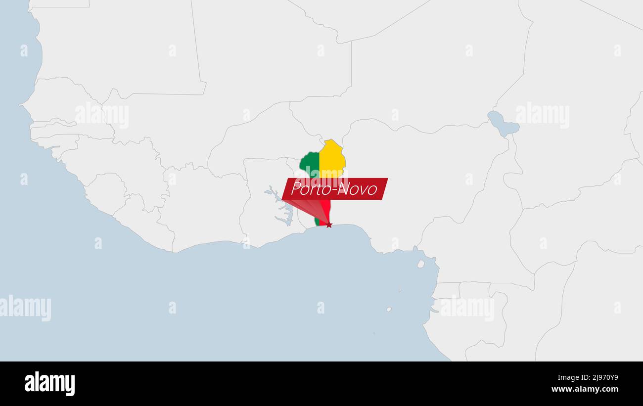 Benin map highlighted in Benin flag colors and pin of country capital Porto-Novo, map with neighboring African countries. Stock Vectorhttps://www.alamy.com/image-license-details/?v=1https://www.alamy.com/benin-map-highlighted-in-benin-flag-colors-and-pin-of-country-capital-porto-novo-map-with-neighboring-african-countries-image470366269.html
RF2J970Y9–Benin map highlighted in Benin flag colors and pin of country capital Porto-Novo, map with neighboring African countries.
 Ruffled Flag of Benin Blowing in Wind Stock Photohttps://www.alamy.com/image-license-details/?v=1https://www.alamy.com/ruffled-flag-of-benin-blowing-in-wind-image257232120.html
RFTXDX5C–Ruffled Flag of Benin Blowing in Wind
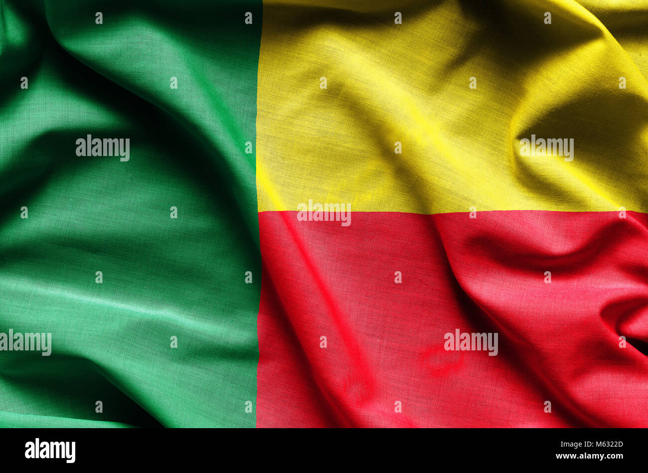 Realistic flag of Benin Stock Photohttps://www.alamy.com/image-license-details/?v=1https://www.alamy.com/stock-photo-realistic-flag-of-benin-175859109.html
RFM6322D–Realistic flag of Benin
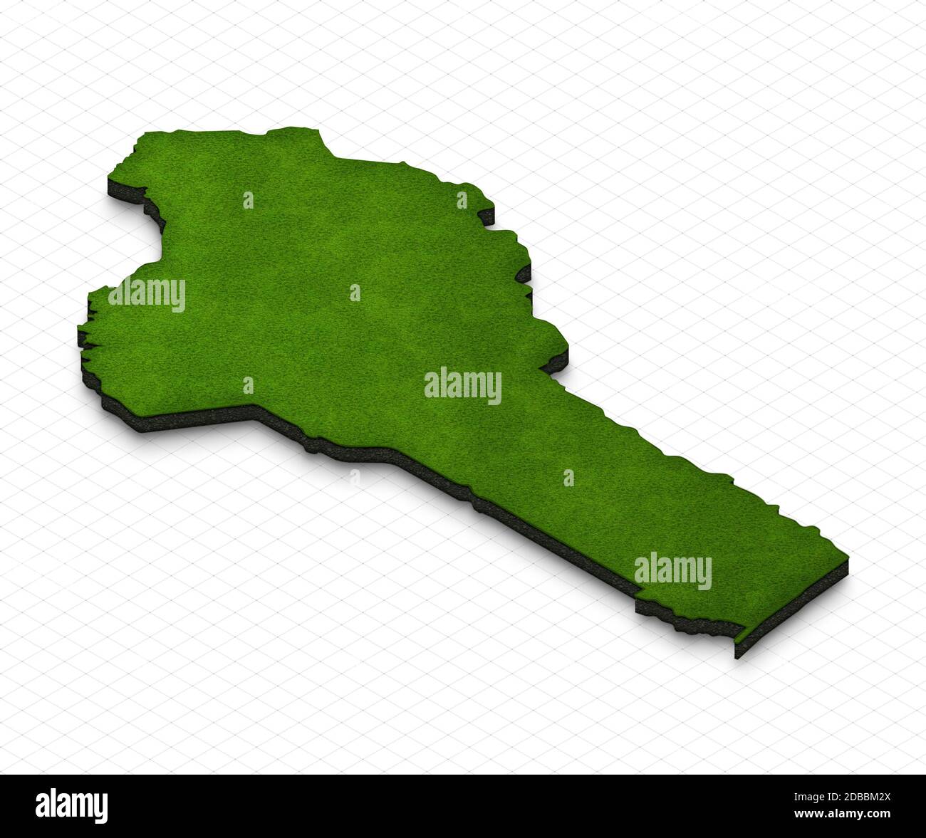 Illustration of a green ground map of Benin on grid background. Right 3D isometric perspective projection. Stock Photohttps://www.alamy.com/image-license-details/?v=1https://www.alamy.com/illustration-of-a-green-ground-map-of-benin-on-grid-background-right-3d-isometric-perspective-projection-image385646546.html
RF2DBBM2X–Illustration of a green ground map of Benin on grid background. Right 3D isometric perspective projection.
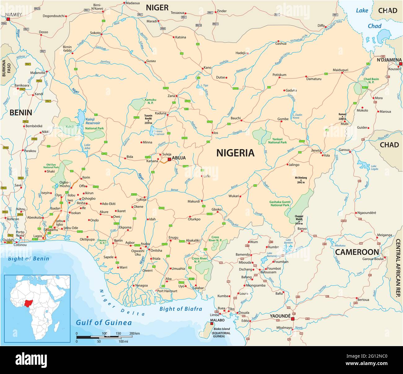 Vector road map of the West African state of Nigeria Stock Vectorhttps://www.alamy.com/image-license-details/?v=1https://www.alamy.com/vector-road-map-of-the-west-african-state-of-nigeria-image430934560.html
RF2G12NC0–Vector road map of the West African state of Nigeria
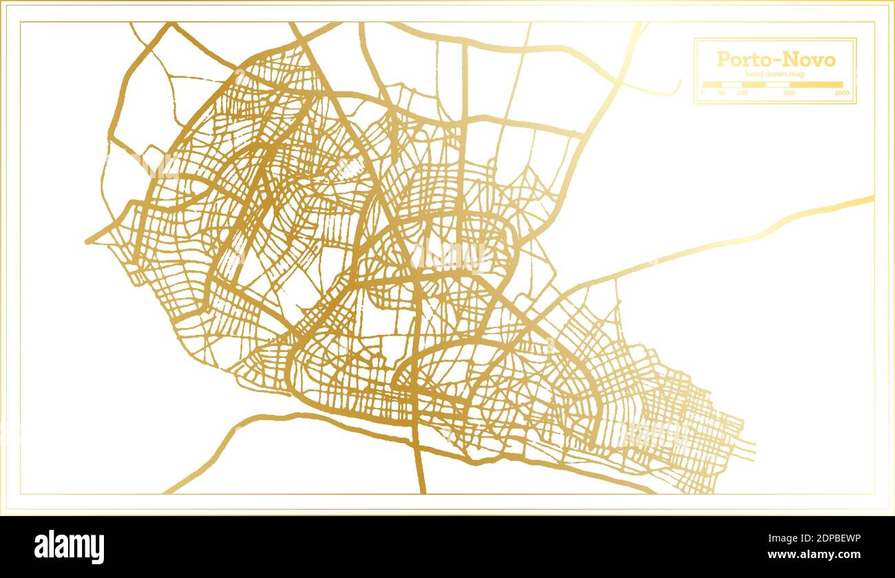 Porto Novo Benin City Map in Retro Style in Golden Color. Outline Map. Vector Illustration. Stock Vectorhttps://www.alamy.com/image-license-details/?v=1https://www.alamy.com/porto-novo-benin-city-map-in-retro-style-in-golden-color-outline-map-vector-illustration-image392403698.html
RF2DPBEWP–Porto Novo Benin City Map in Retro Style in Golden Color. Outline Map. Vector Illustration.
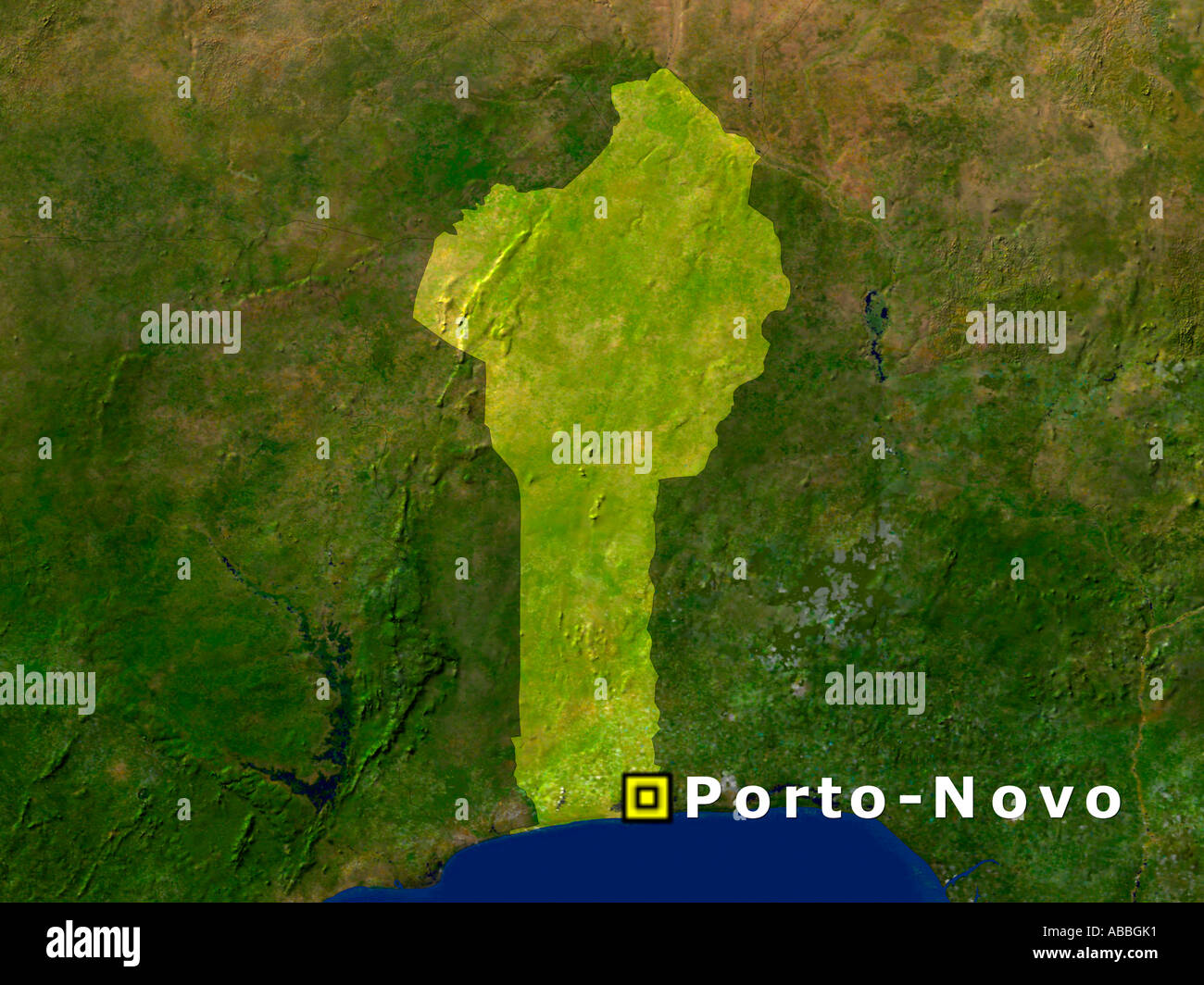 Satellite Image Of Benin With Porto Novo Highlighted Stock Photohttps://www.alamy.com/image-license-details/?v=1https://www.alamy.com/satellite-image-of-benin-with-porto-novo-highlighted-image7337776.html
RFABBGK1–Satellite Image Of Benin With Porto Novo Highlighted
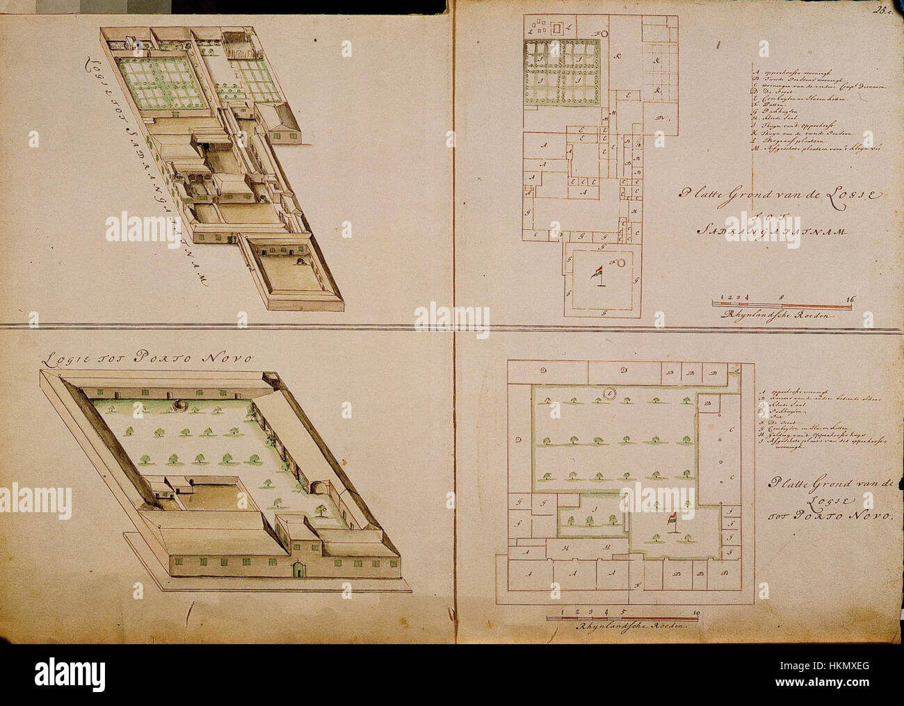 These maps depict the layout of lodges at Sadrangapatnam and Porto Novo, two historical sites. The artwork offers a precise representation of the structures and geography of the locations in India. Stock Photohttps://www.alamy.com/image-license-details/?v=1https://www.alamy.com/stock-photo-these-maps-depict-the-layout-of-lodges-at-sadrangapatnam-and-porto-132610872.html
RMHKMXEG–These maps depict the layout of lodges at Sadrangapatnam and Porto Novo, two historical sites. The artwork offers a precise representation of the structures and geography of the locations in India.
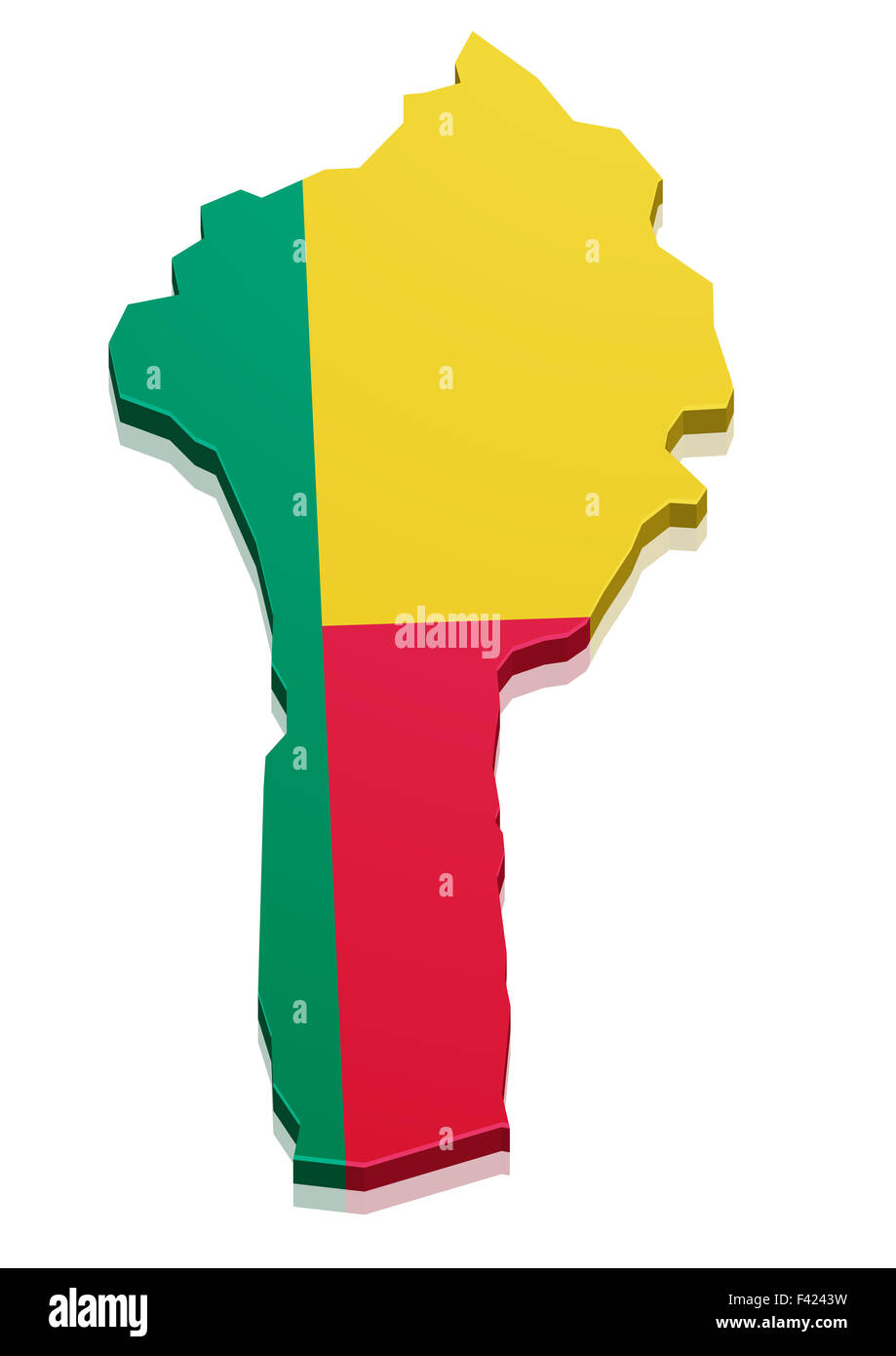 Map Benin Stock Photohttps://www.alamy.com/image-license-details/?v=1https://www.alamy.com/stock-photo-map-benin-88557613.html
RFF4243W–Map Benin
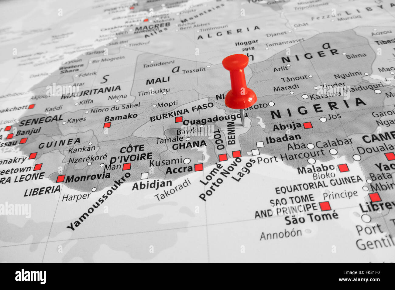 Red marker over Benin Stock Photohttps://www.alamy.com/image-license-details/?v=1https://www.alamy.com/stock-photo-red-marker-over-benin-97797364.html
RFFK31F0–Red marker over Benin
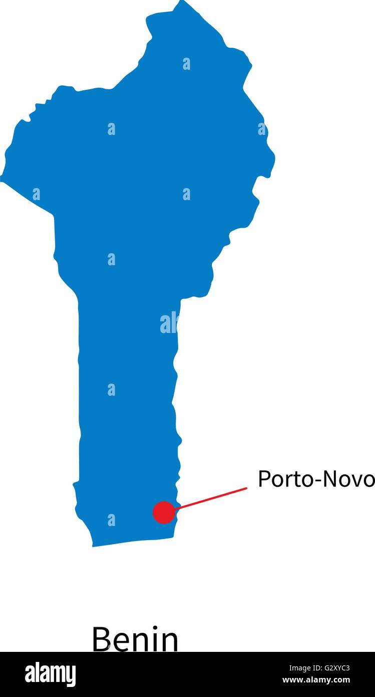 Detailed vector map of Benin and capital city Porto-Novo Stock Vectorhttps://www.alamy.com/image-license-details/?v=1https://www.alamy.com/stock-photo-detailed-vector-map-of-benin-and-capital-city-porto-novo-105083779.html
RFG2XYC3–Detailed vector map of Benin and capital city Porto-Novo
 Vector map Benin and Porto Novo. Country and capital. Isolated vector Illustration. Outline. EPS 10 Illustration. Stock Vectorhttps://www.alamy.com/image-license-details/?v=1https://www.alamy.com/vector-map-benin-and-porto-novo-country-and-capital-isolated-vector-illustration-outline-eps-10-illustration-image359696759.html
RF2BW5GTR–Vector map Benin and Porto Novo. Country and capital. Isolated vector Illustration. Outline. EPS 10 Illustration.
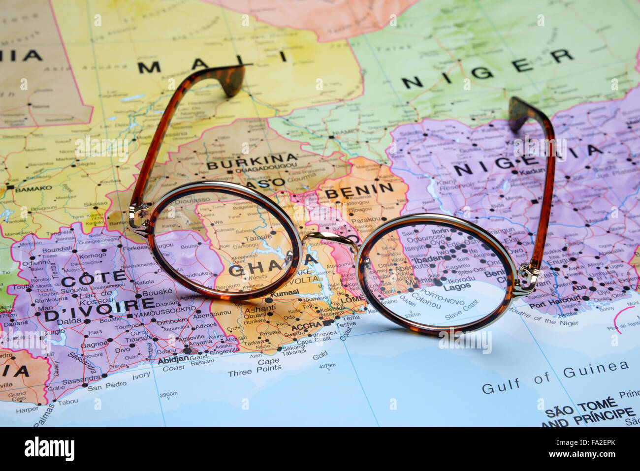 Glasses on a map - Porto Novo Stock Photohttps://www.alamy.com/image-license-details/?v=1https://www.alamy.com/stock-photo-glasses-on-a-map-porto-novo-92253915.html
RFFA2EPK–Glasses on a map - Porto Novo
RF2S079EX–Pixelated world map icons in 8-bit style, featuring over 190 countries. Perfect for digital art, educational projects, and themed designs.
 Porto Novo municipality watercolor map of Cape Verde Stock Photohttps://www.alamy.com/image-license-details/?v=1https://www.alamy.com/porto-novo-municipality-watercolor-map-of-cape-verde-image248724969.html
RFTCJB6H–Porto Novo municipality watercolor map of Cape Verde
 Photo of a map of Nigeria and the capital Abuja . Stock Photohttps://www.alamy.com/image-license-details/?v=1https://www.alamy.com/stock-photo-photo-of-a-map-of-nigeria-and-the-capital-abuja-94087469.html
RFFD21EN–Photo of a map of Nigeria and the capital Abuja .
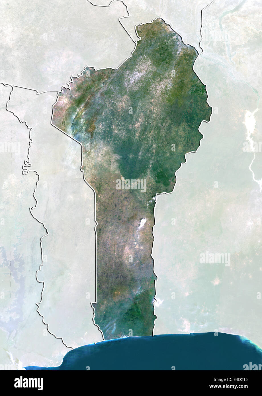 Benin, True Colour Satellite Image With Border and Mask Stock Photohttps://www.alamy.com/image-license-details/?v=1https://www.alamy.com/stock-photo-benin-true-colour-satellite-image-with-border-and-mask-71605889.html
RME4DX15–Benin, True Colour Satellite Image With Border and Mask
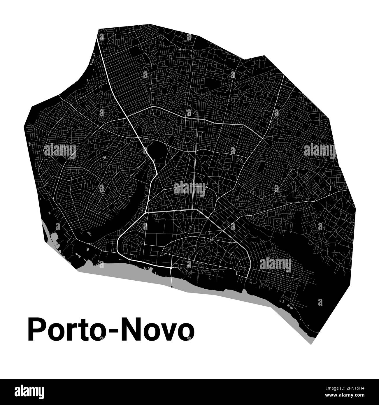 Porto-Novo, Benin map. Detailed black map of Porto-Novo city administrative area. Cityscape poster metropolitan aria view. Black land with white roads Stock Vectorhttps://www.alamy.com/image-license-details/?v=1https://www.alamy.com/porto-novo-benin-map-detailed-black-map-of-porto-novo-city-administrative-area-cityscape-poster-metropolitan-aria-view-black-land-with-white-roads-image546960432.html
RF2PNT5H4–Porto-Novo, Benin map. Detailed black map of Porto-Novo city administrative area. Cityscape poster metropolitan aria view. Black land with white roads
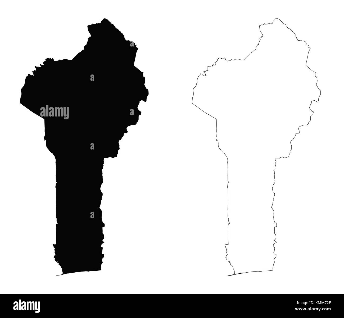 Benin outline map Stock Vectorhttps://www.alamy.com/image-license-details/?v=1https://www.alamy.com/stock-image-benin-outline-map-167631031.html
RFKMM72F–Benin outline map
 Benin logo. Sign with the map of the country and colored stripes, vector illustration. Stock Vectorhttps://www.alamy.com/image-license-details/?v=1https://www.alamy.com/benin-logo-sign-with-the-map-of-the-country-and-colored-stripes-vector-illustration-image502202490.html
RF2M518B6–Benin logo. Sign with the map of the country and colored stripes, vector illustration.
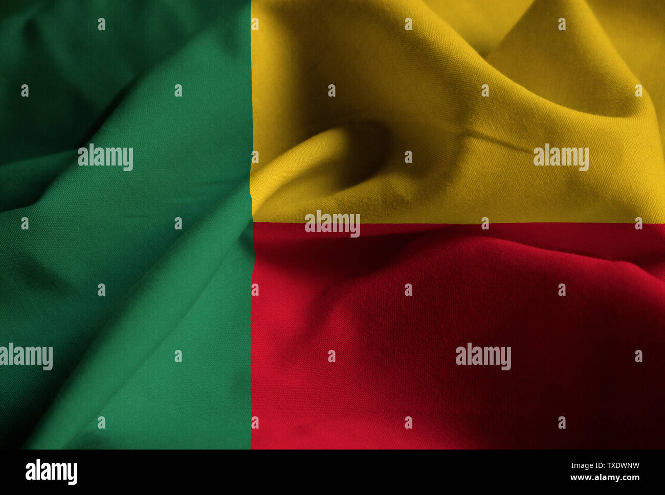 Ruffled Flag of Benin Blowing in Wind Stock Photohttps://www.alamy.com/image-license-details/?v=1https://www.alamy.com/ruffled-flag-of-benin-blowing-in-wind-image257231797.html
RFTXDWNW–Ruffled Flag of Benin Blowing in Wind
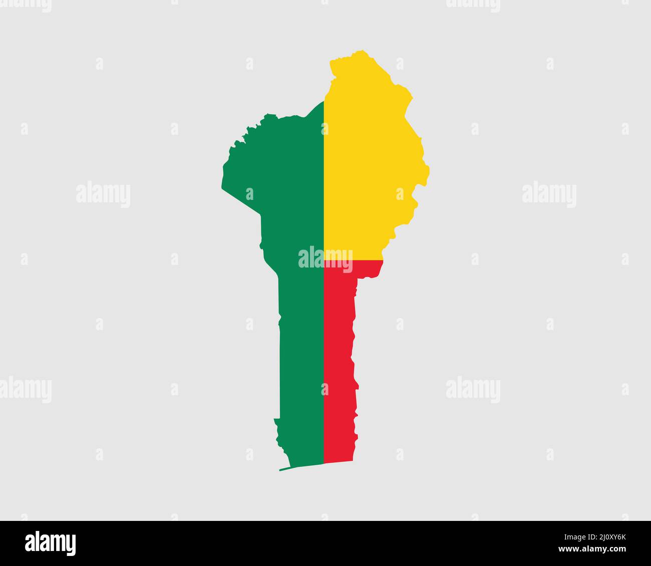 Benin Map Flag. Map of Benin with the Beninese country flag. Vector illustration Stock Vectorhttps://www.alamy.com/image-license-details/?v=1https://www.alamy.com/benin-map-flag-map-of-benin-with-the-beninese-country-flag-vector-illustration-image465272043.html
RF2J0XY6K–Benin Map Flag. Map of Benin with the Beninese country flag. Vector illustration
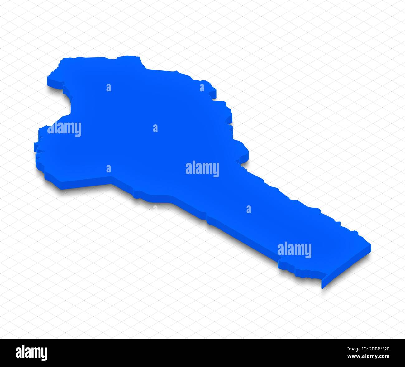 Illustration of a blue ground map of Benin on grid background. Right 3D isometric perspective projection. Stock Photohttps://www.alamy.com/image-license-details/?v=1https://www.alamy.com/illustration-of-a-blue-ground-map-of-benin-on-grid-background-right-3d-isometric-perspective-projection-image385646534.html
RF2DBBM2E–Illustration of a blue ground map of Benin on grid background. Right 3D isometric perspective projection.
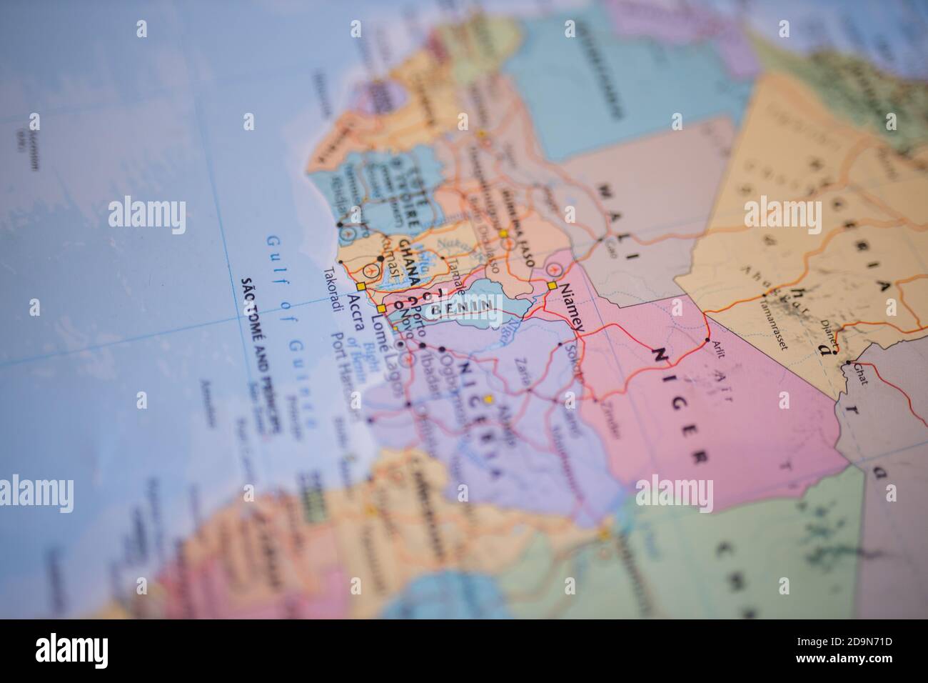 Benin on a colorful and blurry map of Africa with its main routes in red Stock Photohttps://www.alamy.com/image-license-details/?v=1https://www.alamy.com/benin-on-a-colorful-and-blurry-map-of-africa-with-its-main-routes-in-red-image384626521.html
RF2D9N71D–Benin on a colorful and blurry map of Africa with its main routes in red
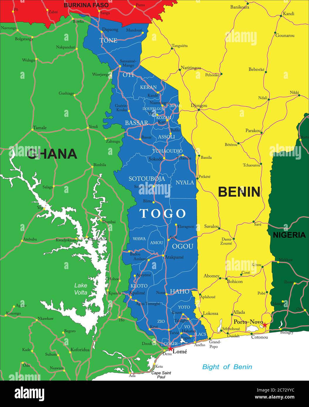 Highly detailed vector map of Togo with administrative regions, main cities and roads. Stock Vectorhttps://www.alamy.com/image-license-details/?v=1https://www.alamy.com/highly-detailed-vector-map-of-togo-with-administrative-regions-main-cities-and-roads-image365786160.html
RF2C72YYC–Highly detailed vector map of Togo with administrative regions, main cities and roads.
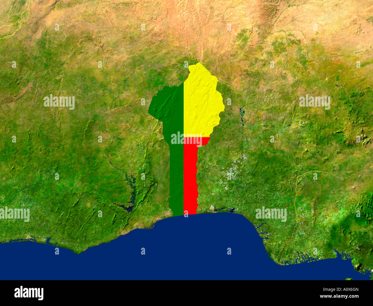 Satellite Image of Benin covered by that Country's Flag Stock Photohttps://www.alamy.com/image-license-details/?v=1https://www.alamy.com/stock-photo-satellite-image-of-benin-covered-by-that-countrys-flag-10081316.html
RFA0X6GN–Satellite Image of Benin covered by that Country's Flag
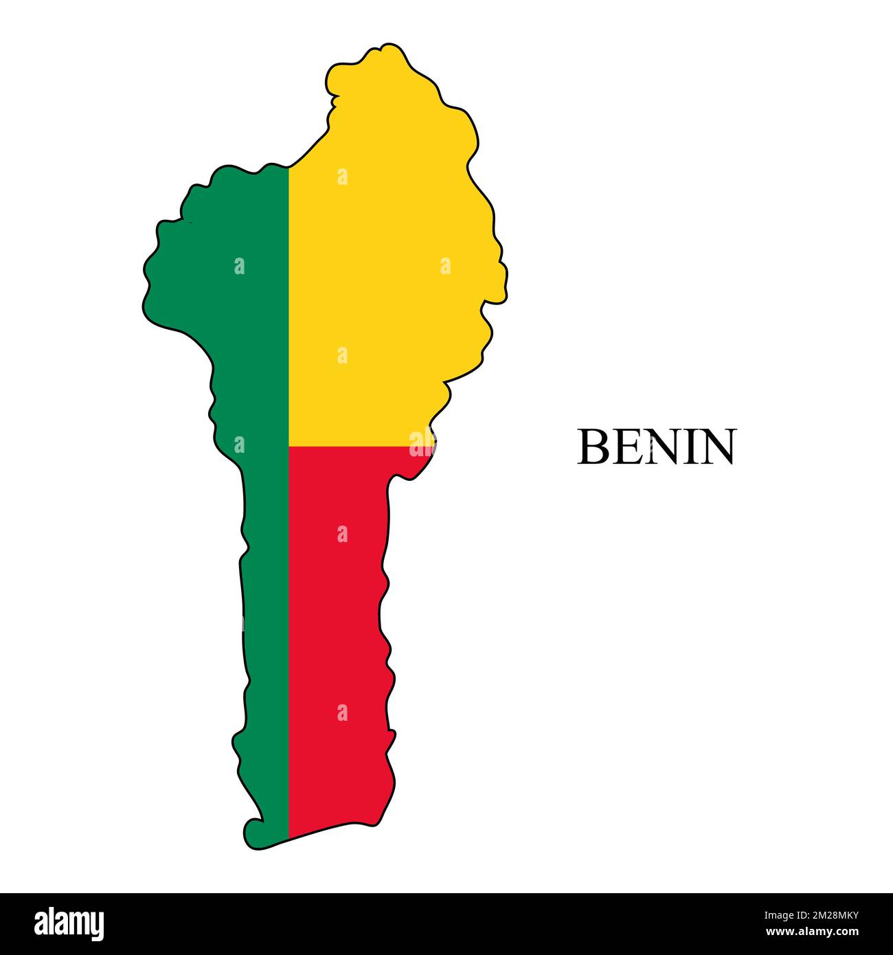 Benin map vector illustration. Global economy. Famous country. Western Africa. Africa. Stock Vectorhttps://www.alamy.com/image-license-details/?v=1https://www.alamy.com/benin-map-vector-illustration-global-economy-famous-country-western-africa-africa-image500521839.html
RF2M28MKY–Benin map vector illustration. Global economy. Famous country. Western Africa. Africa.
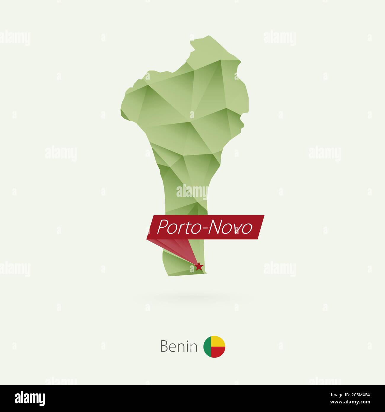 Green gradient low poly map of Benin with capital Porto-Novo Stock Vectorhttps://www.alamy.com/image-license-details/?v=1https://www.alamy.com/green-gradient-low-poly-map-of-benin-with-capital-porto-novo-image364950766.html
RF2C5MXBX–Green gradient low poly map of Benin with capital Porto-Novo
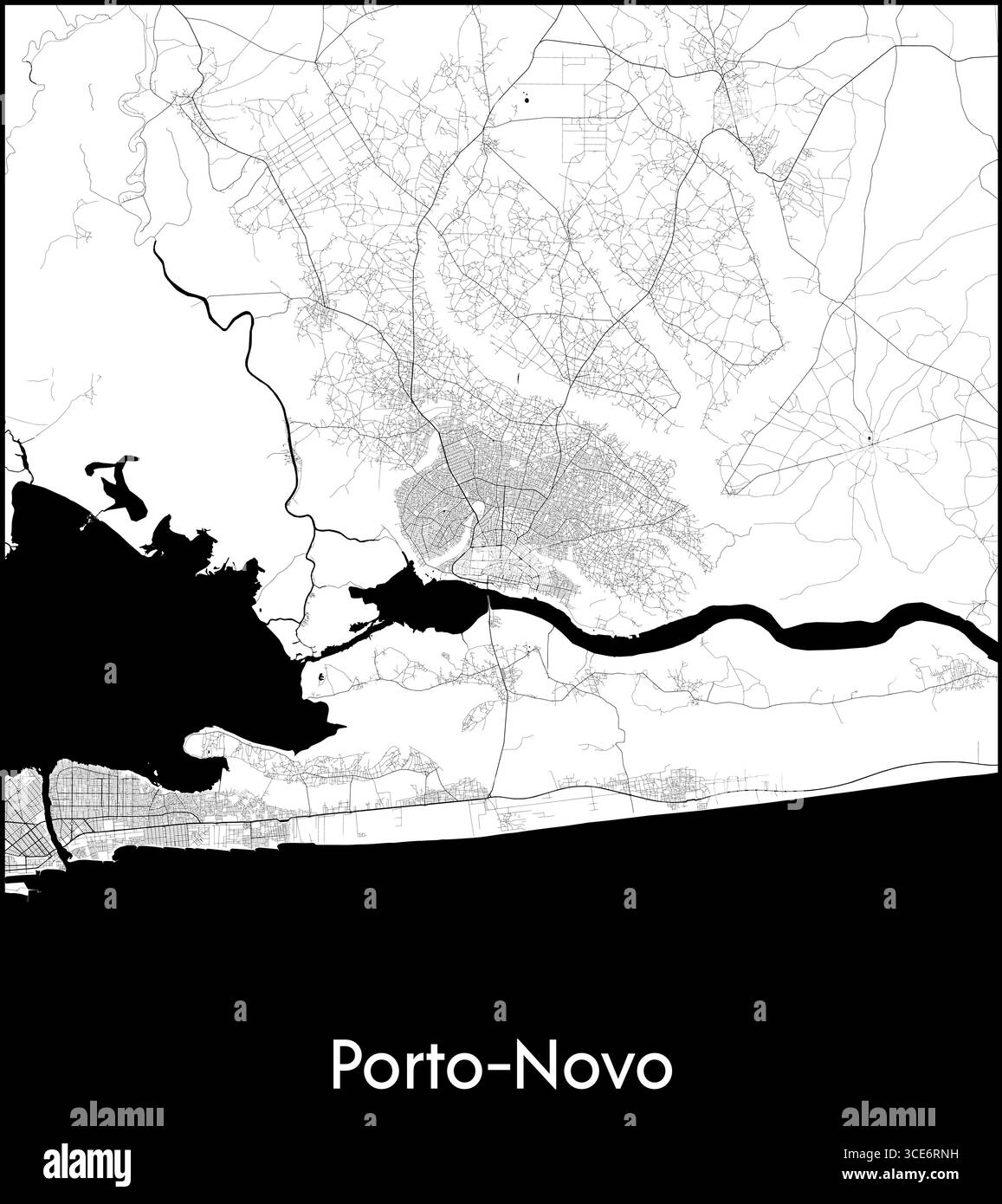 Porto Novo city map, Benin - Topographic vector map poster Stock Vectorhttps://www.alamy.com/image-license-details/?v=1https://www.alamy.com/porto-novo-city-map-benin-topographic-vector-map-poster-image697170253.html
RF3CE6RNH–Porto Novo city map, Benin - Topographic vector map poster
![Physical and political map of Benin. [Adobe Illustrator (.ai); 2480x3507]. Stock Photo Physical and political map of Benin. [Adobe Illustrator (.ai); 2480x3507]. Stock Photo](https://c8.alamy.com/comp/2NECA57/physical-and-political-map-of-benin-adobe-illustrator-ai-2480x3507-2NECA57.jpg) Physical and political map of Benin. [Adobe Illustrator (.ai); 2480x3507]. Stock Photohttps://www.alamy.com/image-license-details/?v=1https://www.alamy.com/physical-and-political-map-of-benin-adobe-illustrator-ai-2480x3507-image525187635.html
Physical and political map of Benin. [Adobe Illustrator (.ai); 2480x3507]. Stock Photohttps://www.alamy.com/image-license-details/?v=1https://www.alamy.com/physical-and-political-map-of-benin-adobe-illustrator-ai-2480x3507-image525187635.htmlRM2NECA57–Physical and political map of Benin. [Adobe Illustrator (.ai); 2480x3507].
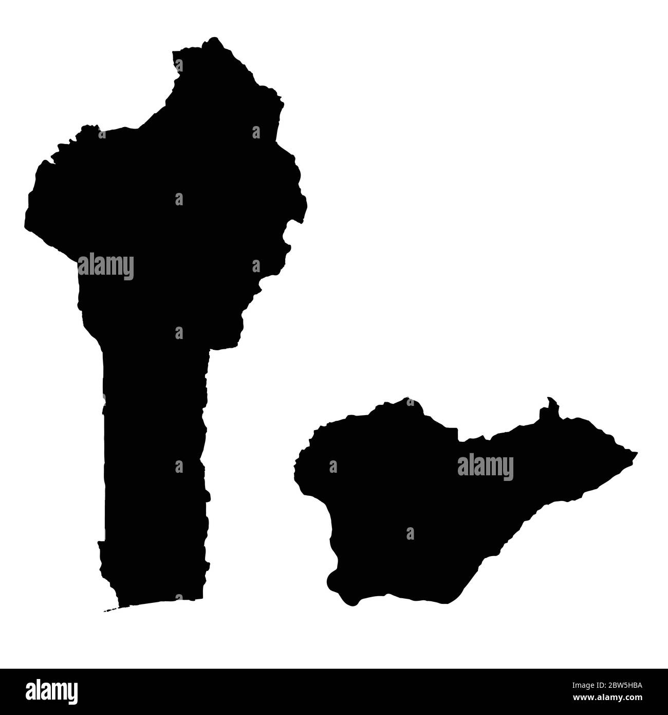 Vector map Benin and Porto Novo. Country and capital. Isolated vector Illustration. Black on White background. EPS 10 Illustration. Stock Vectorhttps://www.alamy.com/image-license-details/?v=1https://www.alamy.com/vector-map-benin-and-porto-novo-country-and-capital-isolated-vector-illustration-black-on-white-background-eps-10-illustration-image359697166.html
RF2BW5HBA–Vector map Benin and Porto Novo. Country and capital. Isolated vector Illustration. Black on White background. EPS 10 Illustration.
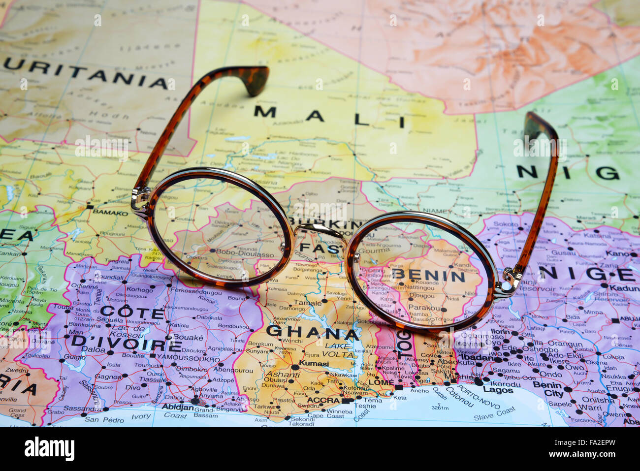 Glasses on a map - Benin Stock Photohttps://www.alamy.com/image-license-details/?v=1https://www.alamy.com/stock-photo-glasses-on-a-map-benin-92253921.html
RFFA2EPW–Glasses on a map - Benin
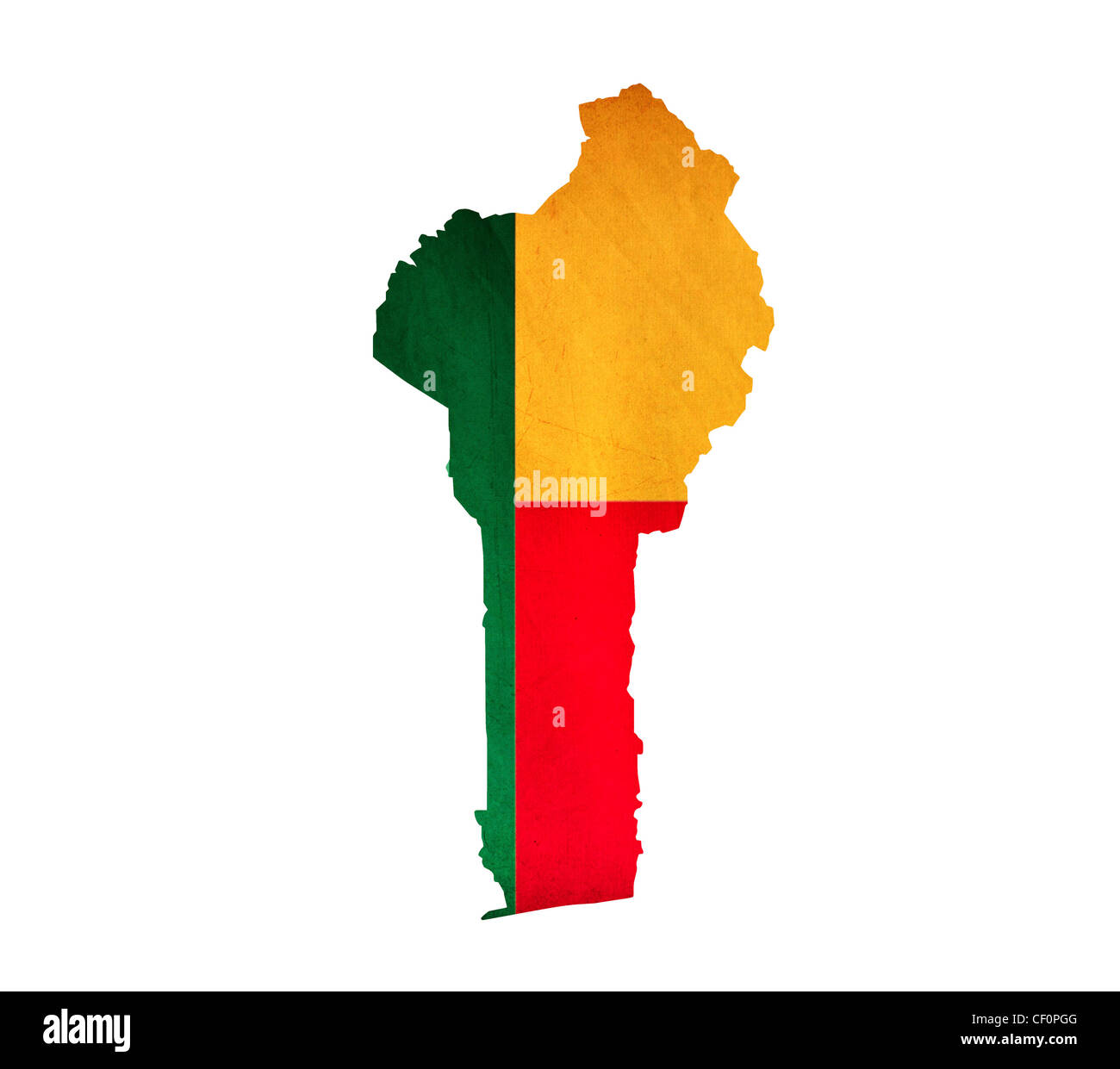 Map of Benin isolated Stock Photohttps://www.alamy.com/image-license-details/?v=1https://www.alamy.com/stock-photo-map-of-benin-isolated-43658288.html
RFCF0PGG–Map of Benin isolated
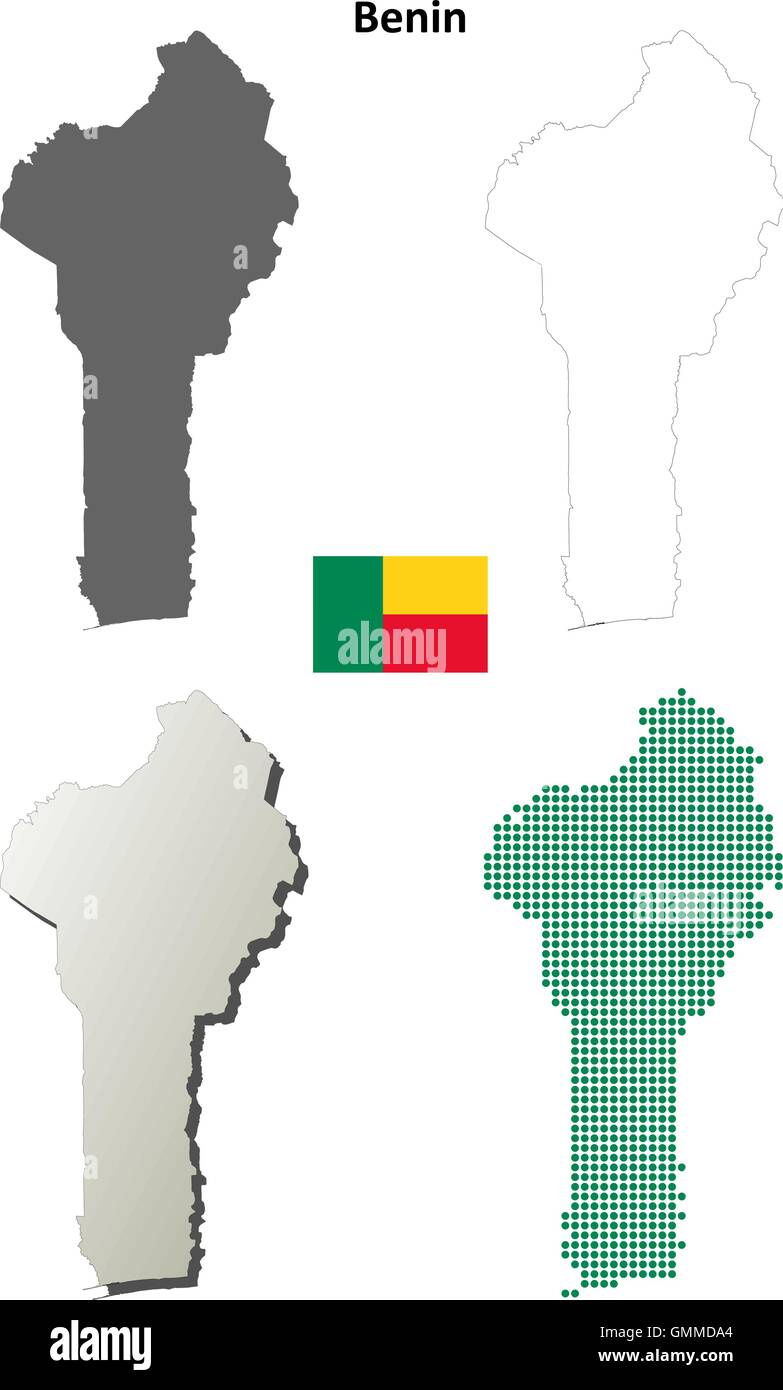 Benin outline map set Stock Vectorhttps://www.alamy.com/image-license-details/?v=1https://www.alamy.com/stock-photo-benin-outline-map-set-116004844.html
RFGMMDA4–Benin outline map set
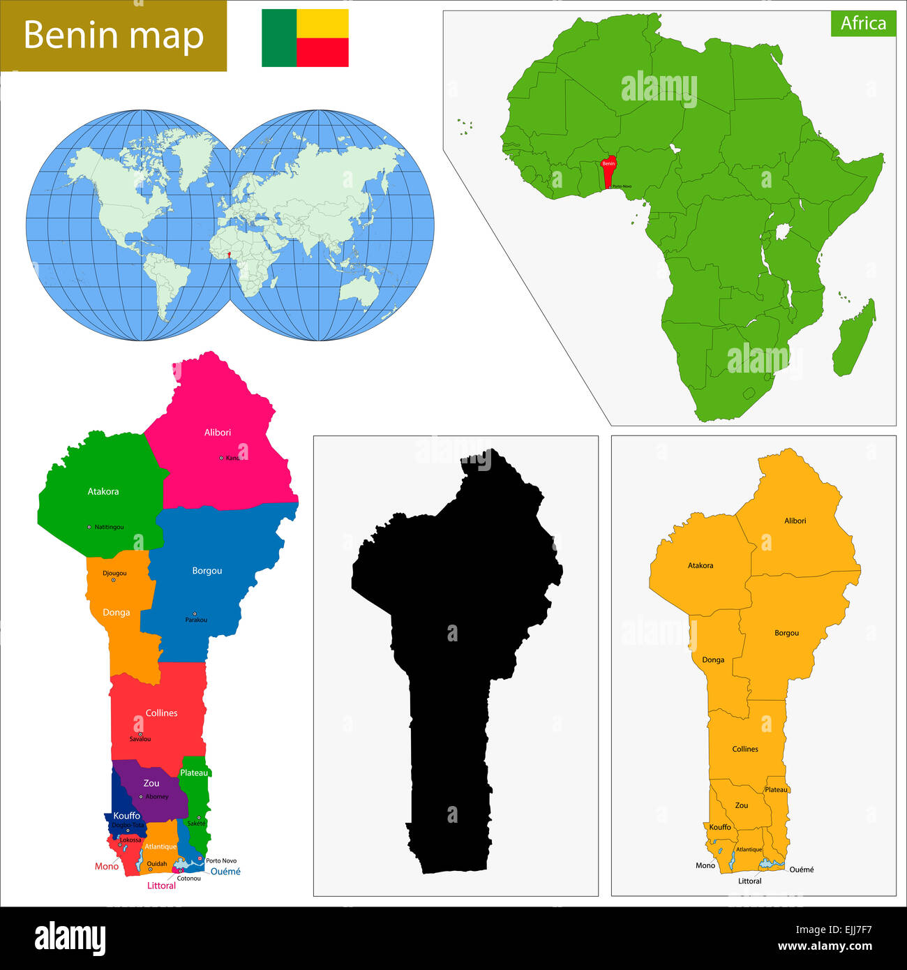 Benin map Stock Photohttps://www.alamy.com/image-license-details/?v=1https://www.alamy.com/stock-photo-benin-map-80306331.html
RFEJJ7F7–Benin map
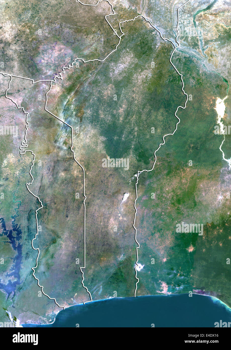 Benin, True Colour Satellite Image With Border Stock Photohttps://www.alamy.com/image-license-details/?v=1https://www.alamy.com/stock-photo-benin-true-colour-satellite-image-with-border-71605890.html
RME4DX16–Benin, True Colour Satellite Image With Border
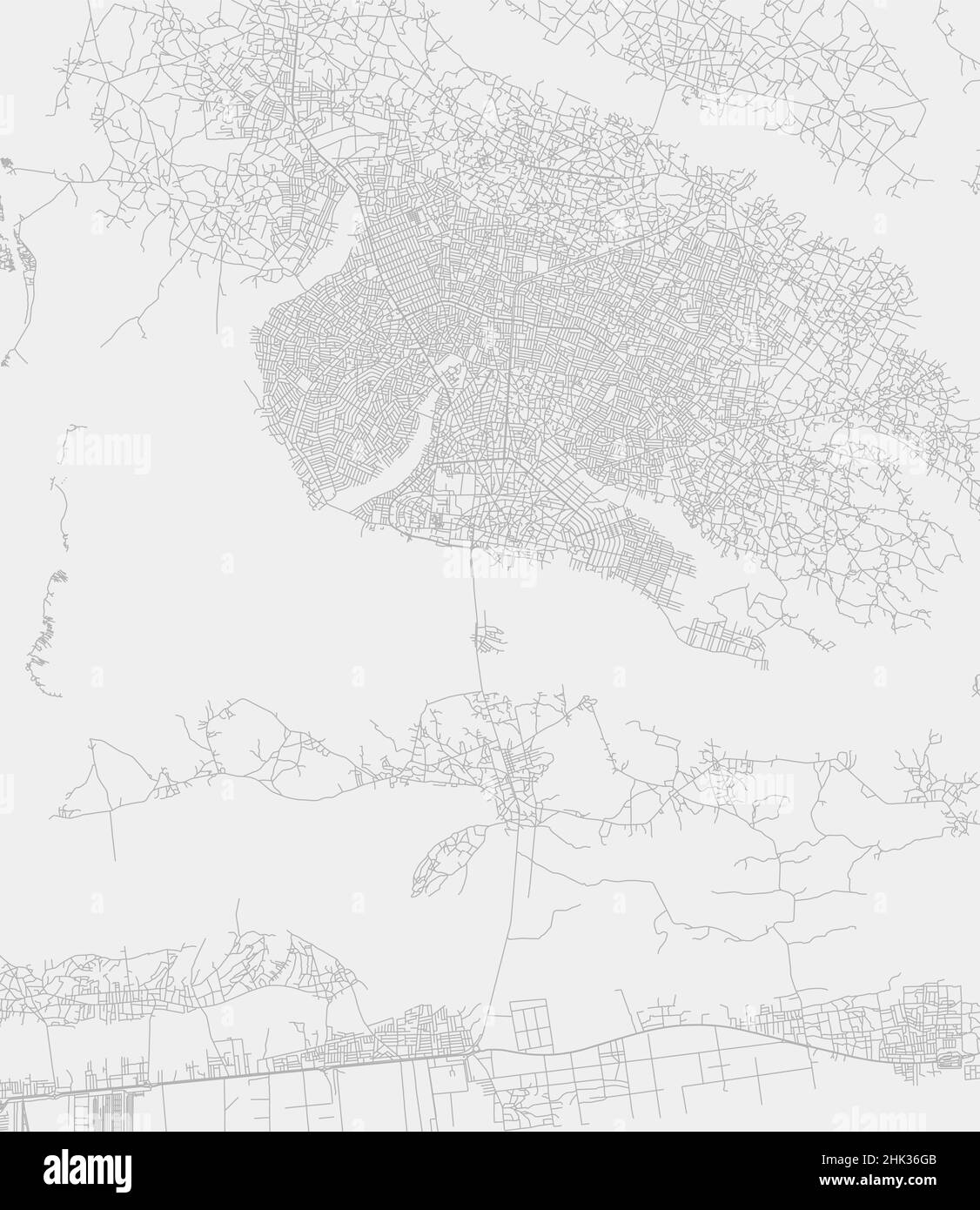 Porto-Novo city, capital of Benin municipality province vector map. White road map, municipality area, white lines. Urban skyline panorama for tourism Stock Vectorhttps://www.alamy.com/image-license-details/?v=1https://www.alamy.com/porto-novo-city-capital-of-benin-municipality-province-vector-map-white-road-map-municipality-area-white-lines-urban-skyline-panorama-for-tourism-image459219051.html
RF2HK36GB–Porto-Novo city, capital of Benin municipality province vector map. White road map, municipality area, white lines. Urban skyline panorama for tourism
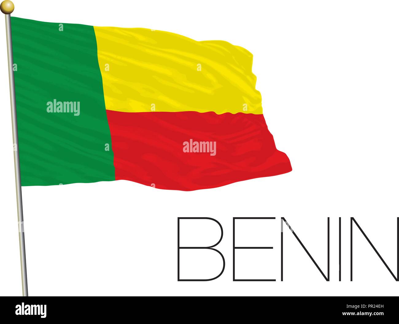 Benin flag, africa, vector illustration Stock Vectorhttps://www.alamy.com/image-license-details/?v=1https://www.alamy.com/benin-flag-africa-vector-illustration-image220708953.html
RFPR24EH–Benin flag, africa, vector illustration
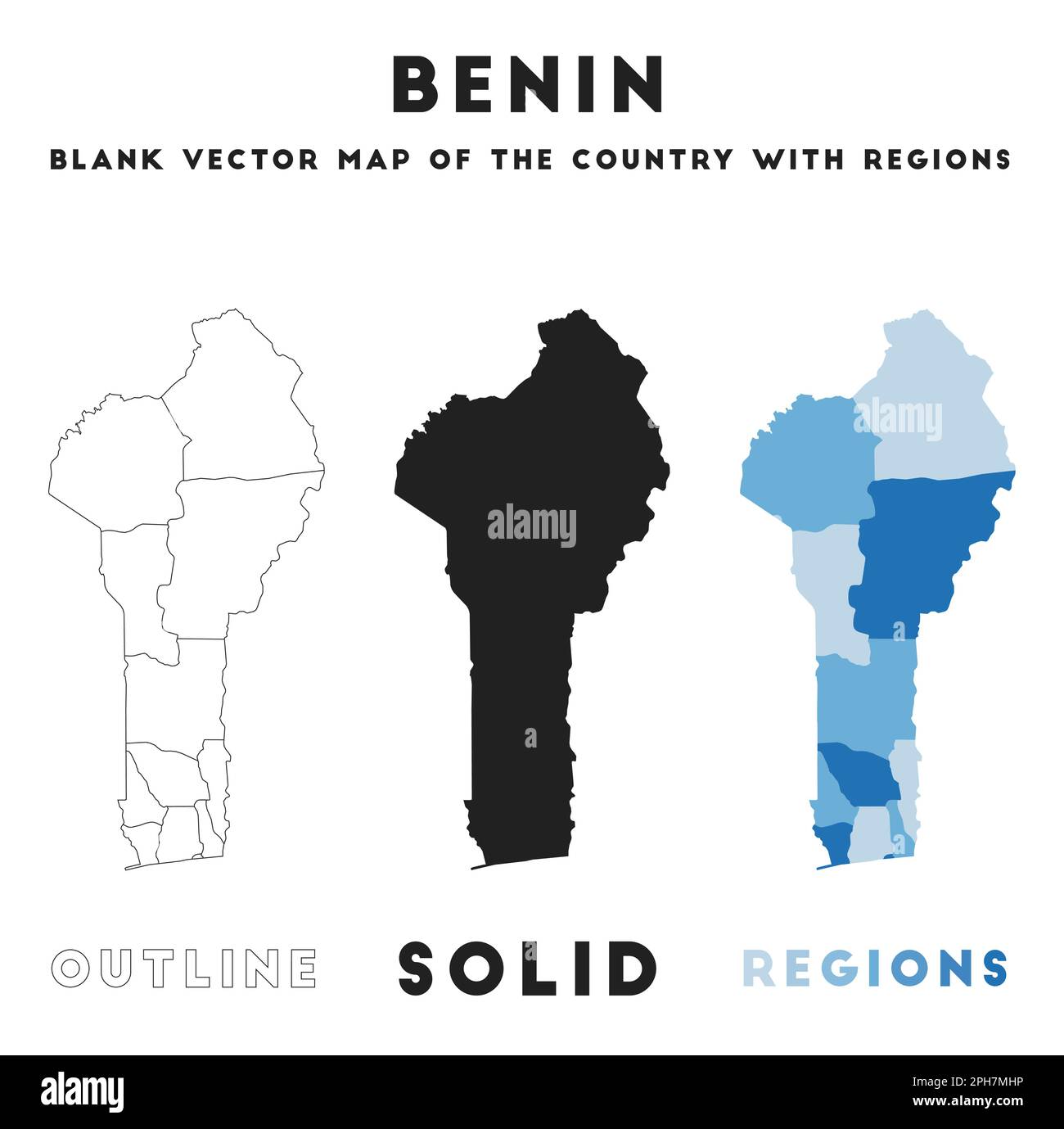 Benin map. Borders of Benin for your infographic. Vector country shape. Vector illustration. Stock Vectorhttps://www.alamy.com/image-license-details/?v=1https://www.alamy.com/benin-map-borders-of-benin-for-your-infographic-vector-country-shape-vector-illustration-image544140402.html
RF2PH7MHP–Benin map. Borders of Benin for your infographic. Vector country shape. Vector illustration.
 Benin set of three maps - solid map, outline map and map highlighting administrative divisions. Three distinct maps illustrate various representations of a geographical area. Stock Vectorhttps://www.alamy.com/image-license-details/?v=1https://www.alamy.com/benin-set-of-three-maps-solid-map-outline-map-and-map-highlighting-administrative-divisions-three-distinct-maps-illustrate-various-representations-of-a-geographical-area-image637674378.html
RF2S1CG4X–Benin set of three maps - solid map, outline map and map highlighting administrative divisions. Three distinct maps illustrate various representations of a geographical area.
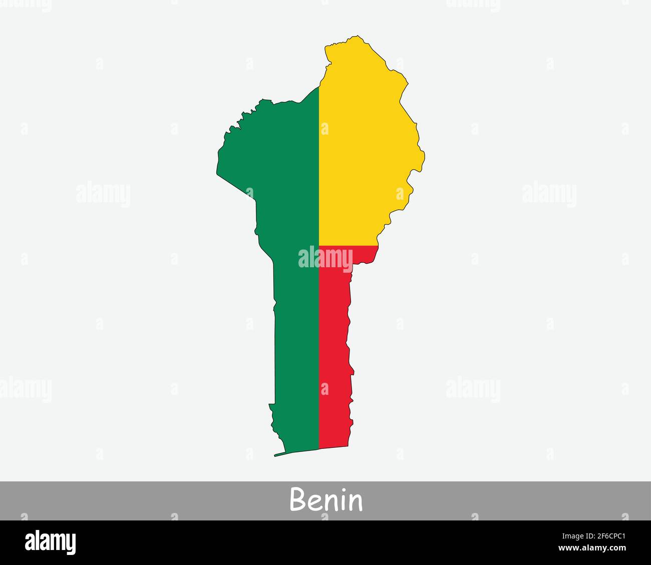 Benin Map Flag. Map of Benin with the Beninese national flag isolated on white background. Vector illustration Stock Vectorhttps://www.alamy.com/image-license-details/?v=1https://www.alamy.com/benin-map-flag-map-of-benin-with-the-beninese-national-flag-isolated-on-white-background-vector-illustration-image417017777.html
RF2F6CPC1–Benin Map Flag. Map of Benin with the Beninese national flag isolated on white background. Vector illustration
 Illustration of a green ground map of Benin on grid background. Left 3D isometric perspective projection. Stock Photohttps://www.alamy.com/image-license-details/?v=1https://www.alamy.com/illustration-of-a-green-ground-map-of-benin-on-grid-background-left-3d-isometric-perspective-projection-image385644098.html
RF2DBBGYE–Illustration of a green ground map of Benin on grid background. Left 3D isometric perspective projection.
 Zambia and Benin flags for official meeting against background of world map. Stock Vectorhttps://www.alamy.com/image-license-details/?v=1https://www.alamy.com/zambia-and-benin-flags-for-official-meeting-against-background-of-world-map-image623829294.html
RF2Y6WTHJ–Zambia and Benin flags for official meeting against background of world map.
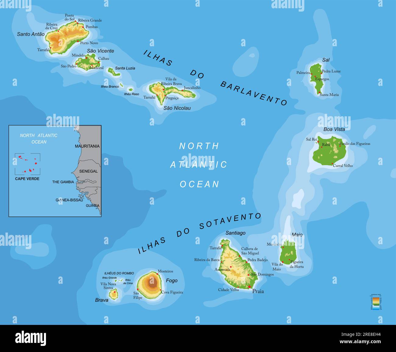 Highly detailed physical map of Cape Verde in vector format,with all the relief forms,regions and big cities. Stock Vectorhttps://www.alamy.com/image-license-details/?v=1https://www.alamy.com/highly-detailed-physical-map-of-cape-verde-in-vector-formatwith-all-the-relief-formsregions-and-big-cities-image559524032.html
RF2RE8EH4–Highly detailed physical map of Cape Verde in vector format,with all the relief forms,regions and big cities.
 white map of Benin on black shadow Stock Photohttps://www.alamy.com/image-license-details/?v=1https://www.alamy.com/stock-photo-white-map-of-benin-on-black-shadow-54404458.html
RFD4E9CA–white map of Benin on black shadow
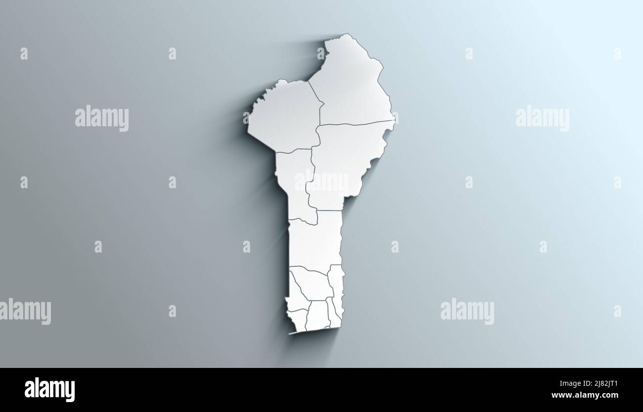 Country Political Geographical Map of Benin with Departments with Shadows Stock Photohttps://www.alamy.com/image-license-details/?v=1https://www.alamy.com/country-political-geographical-map-of-benin-with-departments-with-shadows-image469655873.html
RF2J82JT1–Country Political Geographical Map of Benin with Departments with Shadows
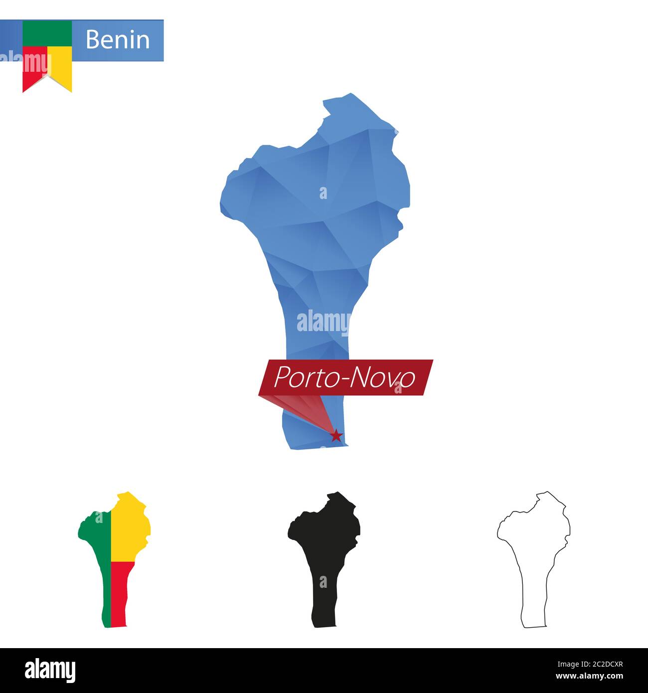 Benin blue Low Poly map with capital Porto-Novo, four versions of map. Vector Illustration. Stock Vectorhttps://www.alamy.com/image-license-details/?v=1https://www.alamy.com/benin-blue-low-poly-map-with-capital-porto-novo-four-versions-of-map-vector-illustration-image362942575.html
RF2C2DCXR–Benin blue Low Poly map with capital Porto-Novo, four versions of map. Vector Illustration.
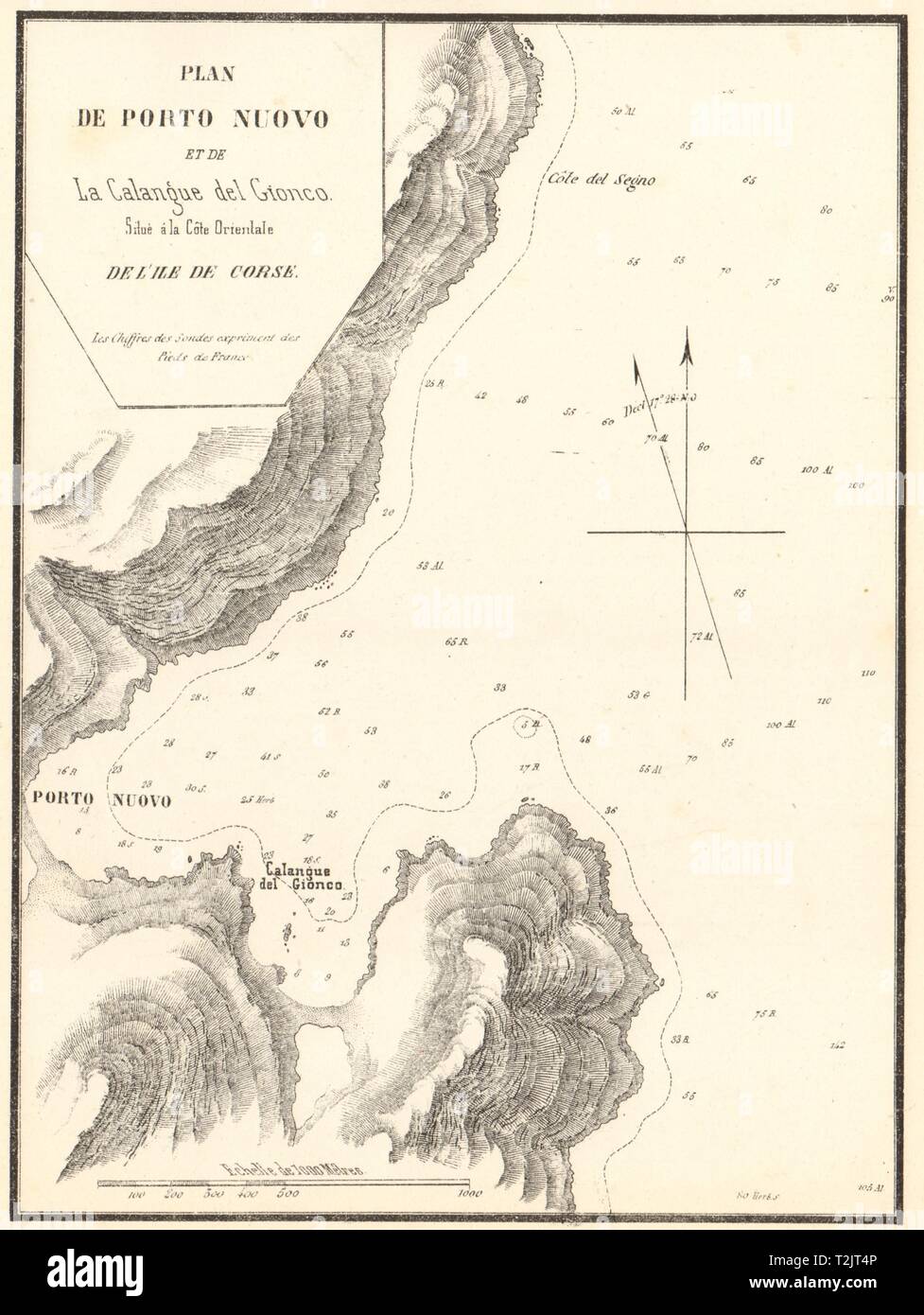 Porto-Novo. Porto Nuovo &… Calangue del Gionco. Corse Corsica. GAUTTIER 1851 map Stock Photohttps://www.alamy.com/image-license-details/?v=1https://www.alamy.com/porto-novo-porto-nuovo-calangue-del-gionco-corse-corsica-gauttier-1851-map-image242588550.html
RFT2JT4P–Porto-Novo. Porto Nuovo &… Calangue del Gionco. Corse Corsica. GAUTTIER 1851 map
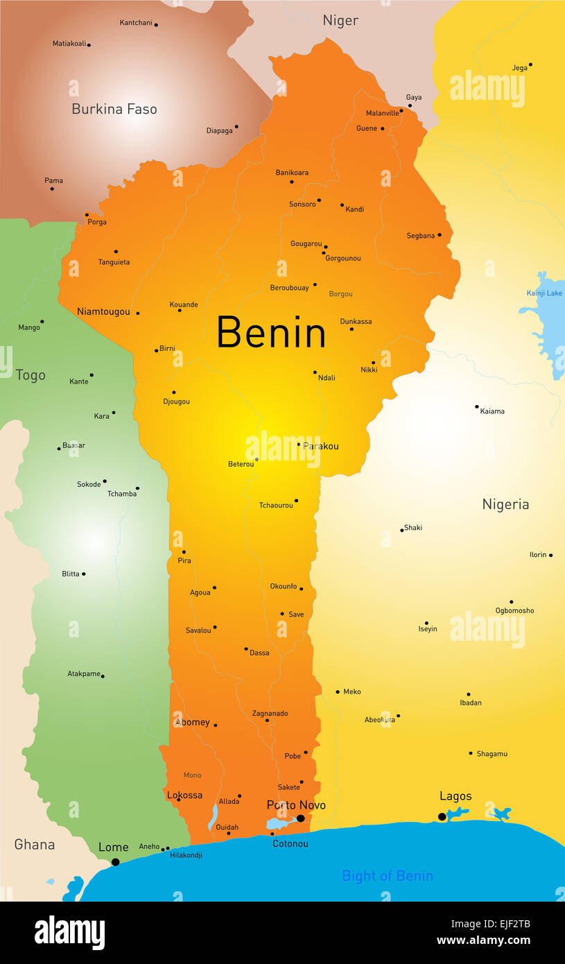 Benin map Stock Photohttps://www.alamy.com/image-license-details/?v=1https://www.alamy.com/stock-photo-benin-map-80236811.html
RFEJF2TB–Benin map
 Vector map Porto Novo. Isolated vector Illustration. Black on White background. EPS 10 Illustration. Stock Vectorhttps://www.alamy.com/image-license-details/?v=1https://www.alamy.com/vector-map-porto-novo-isolated-vector-illustration-black-on-white-background-eps-10-illustration-image359695081.html
RF2BW5EMW–Vector map Porto Novo. Isolated vector Illustration. Black on White background. EPS 10 Illustration.
 Abstract vector color map of Benin Stock Vectorhttps://www.alamy.com/image-license-details/?v=1https://www.alamy.com/stock-photo-abstract-vector-color-map-of-benin-107801154.html
RFG7AND6–Abstract vector color map of Benin
 Vintage map of Benin on grunge paper Stock Photohttps://www.alamy.com/image-license-details/?v=1https://www.alamy.com/stock-photo-vintage-map-of-benin-on-grunge-paper-49098638.html
RFCRTHPP–Vintage map of Benin on grunge paper
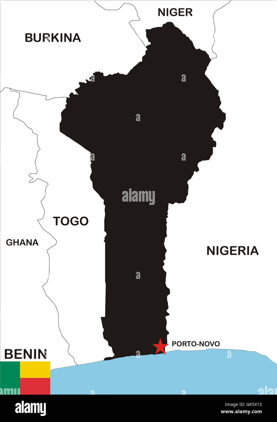 Benin Map Stock Photohttps://www.alamy.com/image-license-details/?v=1https://www.alamy.com/stock-photo-benin-map-115070847.html
RFGK5X13–Benin Map
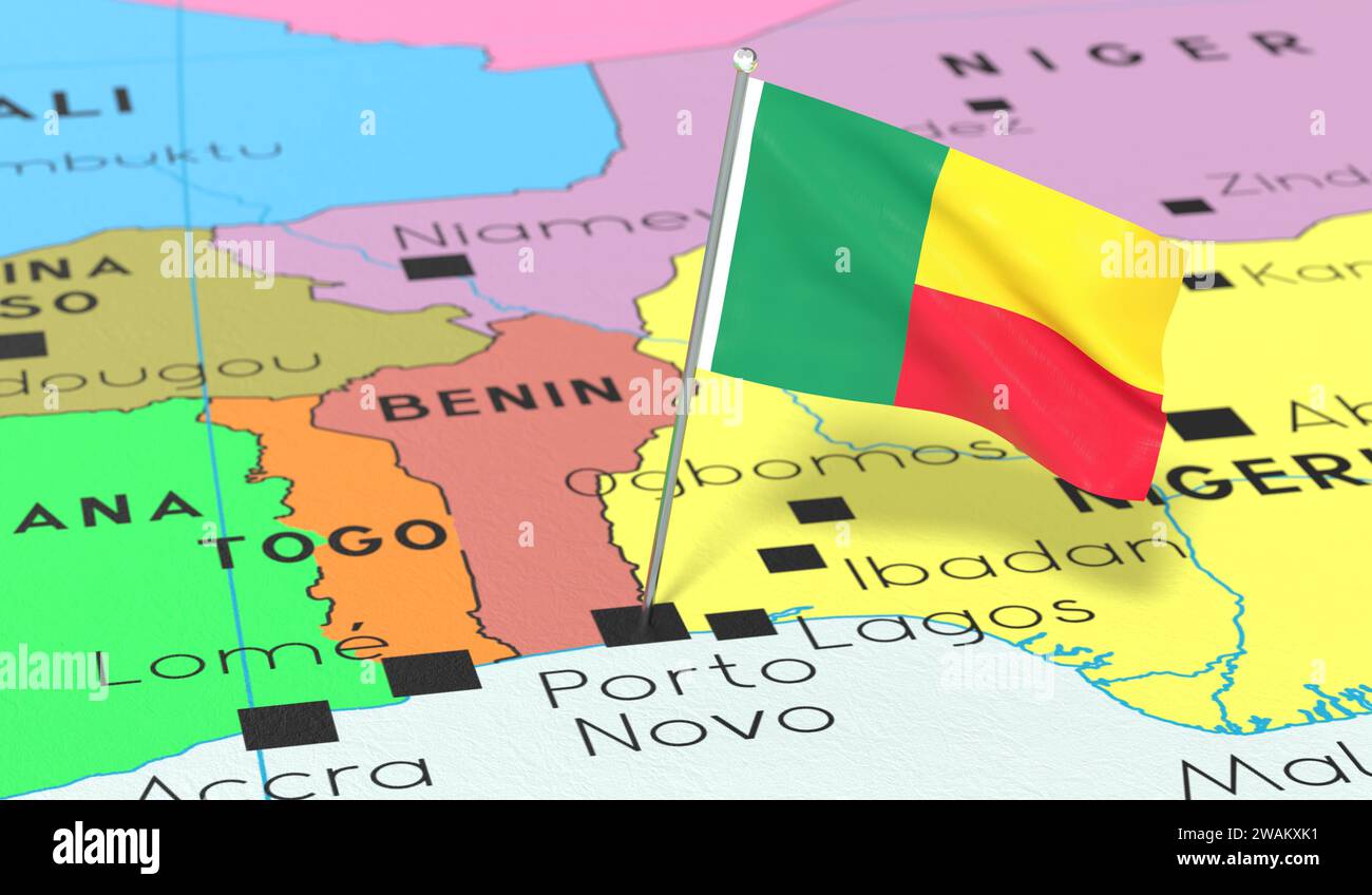 Benin, Porto Novo - national flag pinned on political map - 3D illustration Stock Photohttps://www.alamy.com/image-license-details/?v=1https://www.alamy.com/benin-porto-novo-national-flag-pinned-on-political-map-3d-illustration-image591737077.html
RF2WAKXK1–Benin, Porto Novo - national flag pinned on political map - 3D illustration
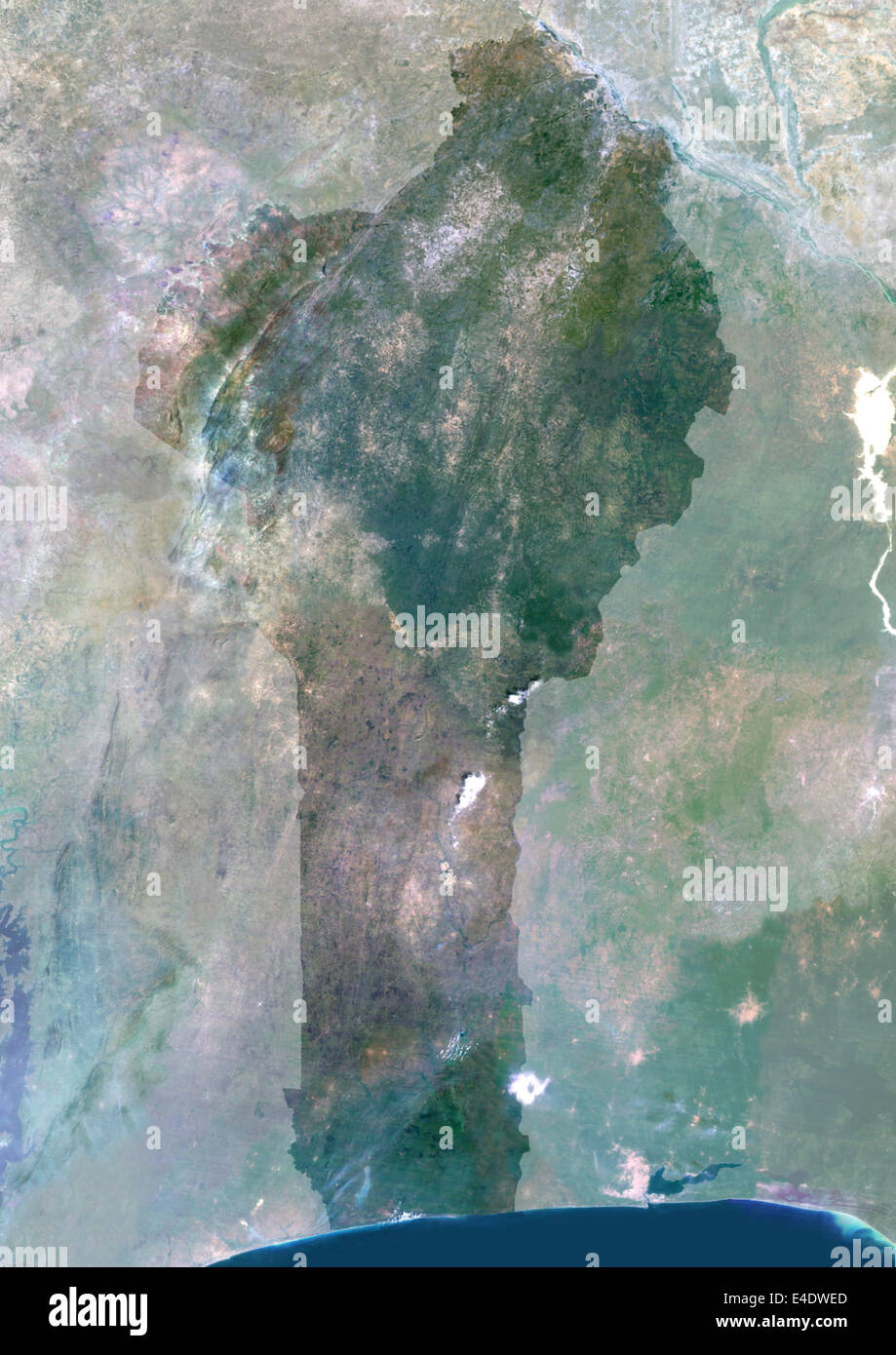 Benin, Africa, True Colour Satellite Image With Mask. Satellite view of Benin (with mask). This image was compiled from data acq Stock Photohttps://www.alamy.com/image-license-details/?v=1https://www.alamy.com/stock-photo-benin-africa-true-colour-satellite-image-with-mask-satellite-view-71605477.html
RME4DWED–Benin, Africa, True Colour Satellite Image With Mask. Satellite view of Benin (with mask). This image was compiled from data acq