Phoenix arizona aerial view Stock Photos and Images
(1,220)See phoenix arizona aerial view stock video clipsQuick filters:
Phoenix arizona aerial view Stock Photos and Images
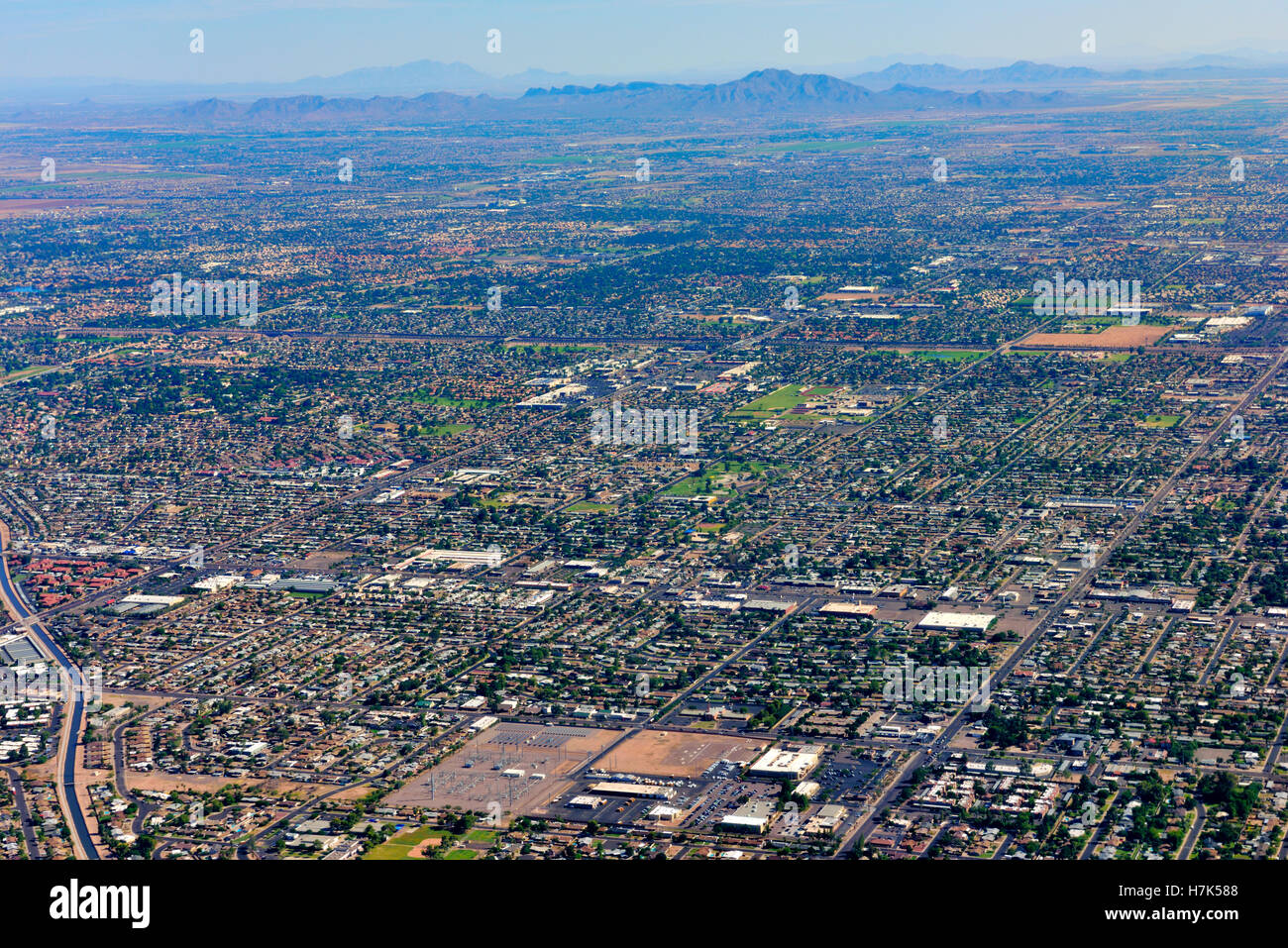 Aerial view of Phoenix, Arizona, suburbs and grid pattern of roads Stock Photohttps://www.alamy.com/image-license-details/?v=1https://www.alamy.com/stock-photo-aerial-view-of-phoenix-arizona-suburbs-and-grid-pattern-of-roads-125196408.html
RMH7K588–Aerial view of Phoenix, Arizona, suburbs and grid pattern of roads
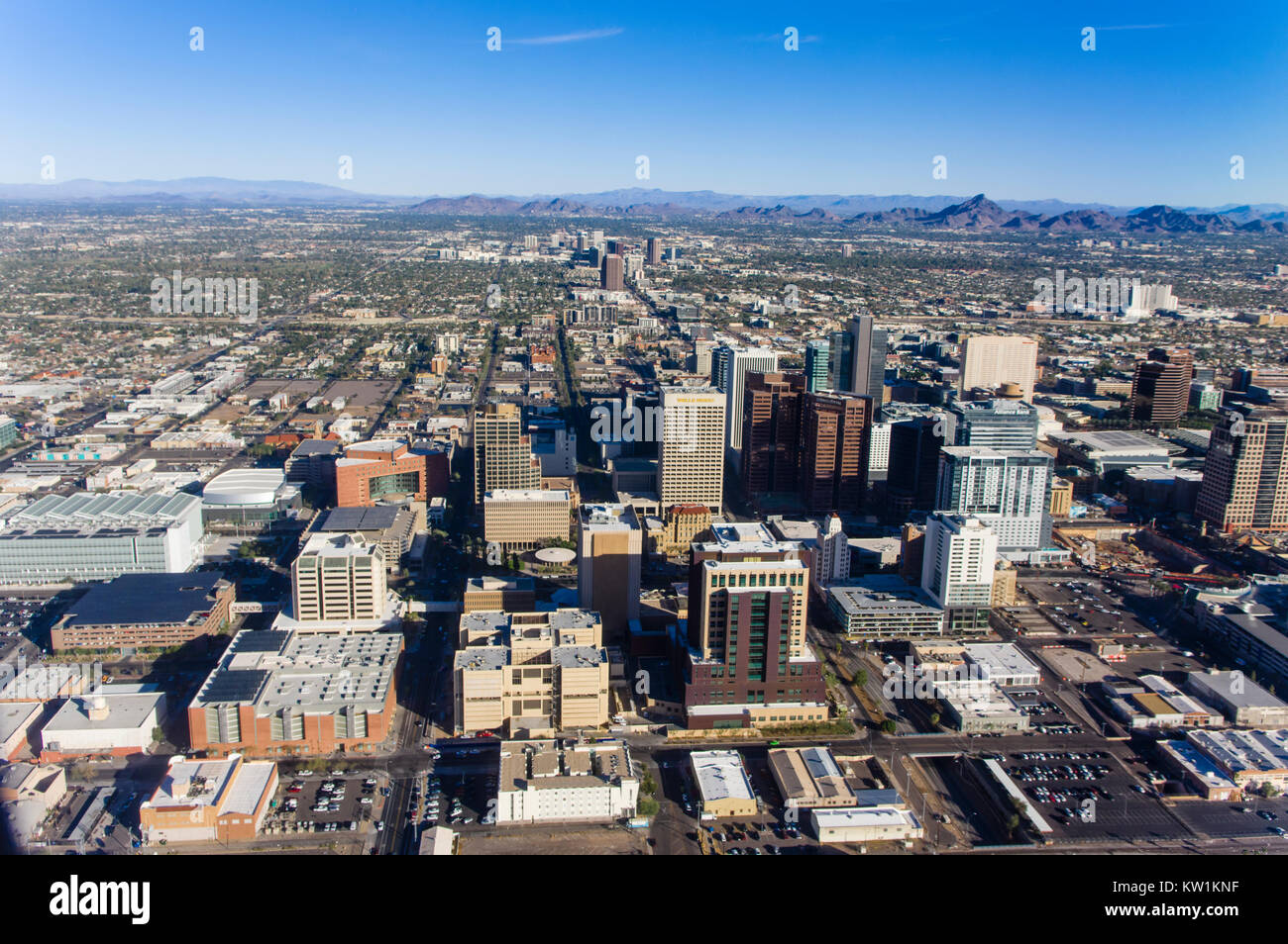 Aerial view of downtown Phoenix Arizona Stock Photohttps://www.alamy.com/image-license-details/?v=1https://www.alamy.com/stock-photo-aerial-view-of-downtown-phoenix-arizona-170297163.html
RMKW1KNF–Aerial view of downtown Phoenix Arizona
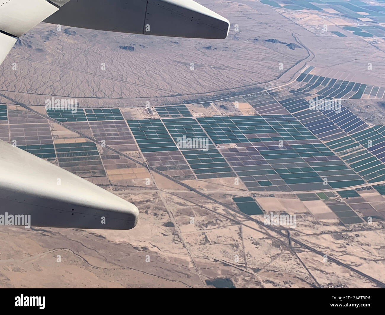 aerial view of Phoenix, Arizona South Mountain Park Reserve Stock Photohttps://www.alamy.com/image-license-details/?v=1https://www.alamy.com/aerial-view-of-phoenix-arizona-south-mountain-park-reserve-image332444090.html
RF2A8T3R6–aerial view of Phoenix, Arizona South Mountain Park Reserve
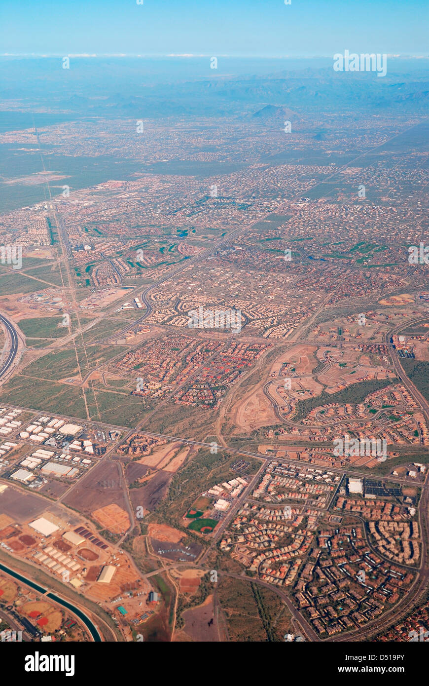 Aerial View of Phoenix City, Arizona. Stock Photohttps://www.alamy.com/image-license-details/?v=1https://www.alamy.com/stock-photo-aerial-view-of-phoenix-city-arizona-54734035.html
RFD519PY–Aerial View of Phoenix City, Arizona.
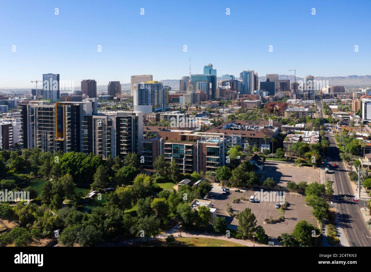 Aerial views of downtown Phoenix and the trendy RoRo neighborhood, Arizona Stock Photohttps://www.alamy.com/image-license-details/?v=1https://www.alamy.com/aerial-views-of-downtown-phoenix-and-the-trendy-roro-neighborhood-arizona-image364418687.html
RF2C4TKN3–Aerial views of downtown Phoenix and the trendy RoRo neighborhood, Arizona
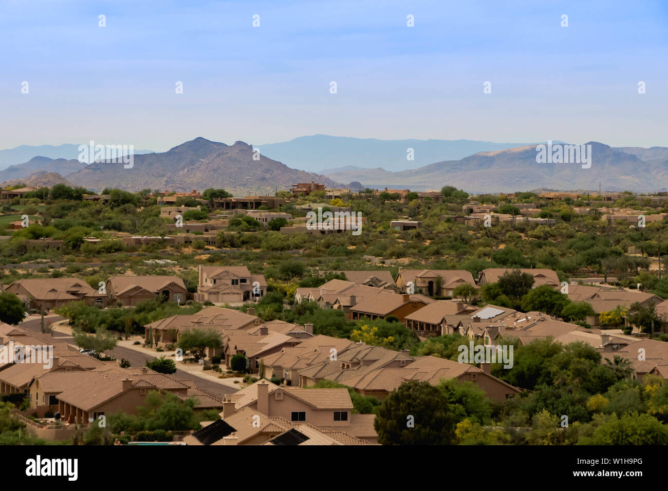 Overlooking South West Style Homes Near Phoenix Arizona Stock Photohttps://www.alamy.com/image-license-details/?v=1https://www.alamy.com/overlooking-south-west-style-homes-near-phoenix-arizona-image259151048.html
RFW1H9PG–Overlooking South West Style Homes Near Phoenix Arizona
 The Phoenician from Camelback Mountain Scottsdale, Arizona Stock Photohttps://www.alamy.com/image-license-details/?v=1https://www.alamy.com/stock-photo-the-phoenician-from-camelback-mountain-scottsdale-arizona-18379935.html
RMB1W7P7–The Phoenician from Camelback Mountain Scottsdale, Arizona
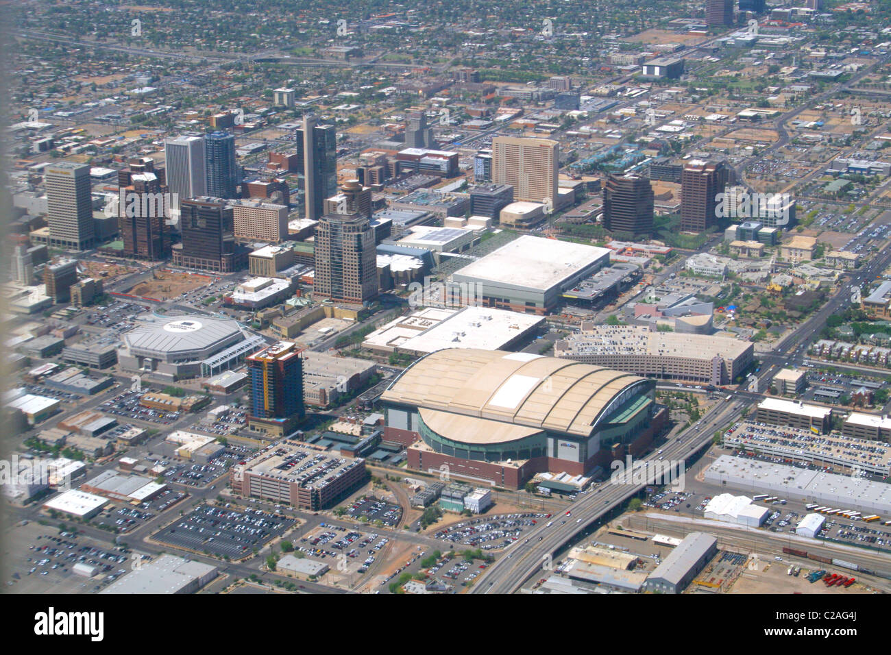 Aerial 2008 downtown Phoenix Arizona Stock Photohttps://www.alamy.com/image-license-details/?v=1https://www.alamy.com/stock-photo-aerial-2008-downtown-phoenix-arizona-35882242.html
RMC2AG4J–Aerial 2008 downtown Phoenix Arizona
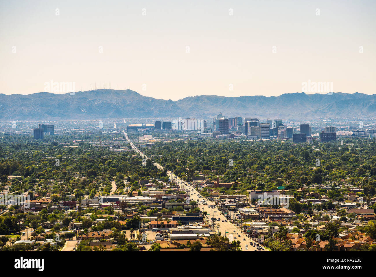 Phoenix Arizona skyline Stock Photohttps://www.alamy.com/image-license-details/?v=1https://www.alamy.com/phoenix-arizona-skyline-image229936322.html
RFRA2E3E–Phoenix Arizona skyline
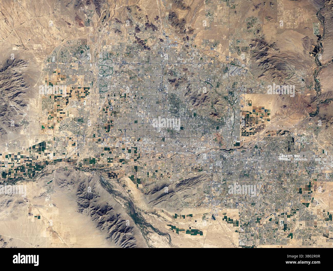 Satellite view of Phoenix, Arizona, USA Stock Photohttps://www.alamy.com/image-license-details/?v=1https://www.alamy.com/satellite-view-of-phoenix-arizona-usa-image671266311.html
RM3B02R0R–Satellite view of Phoenix, Arizona, USA
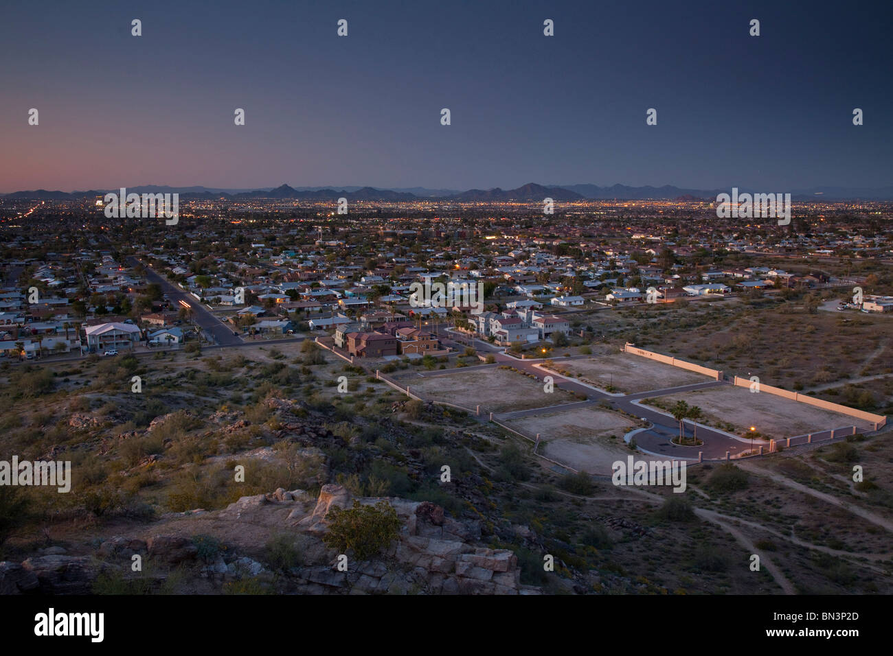 Sunset in Phoenix, Arizona, USA, bird's eye view Stock Photohttps://www.alamy.com/image-license-details/?v=1https://www.alamy.com/stock-photo-sunset-in-phoenix-arizona-usa-birds-eye-view-30201317.html
RMBN3P2D–Sunset in Phoenix, Arizona, USA, bird's eye view
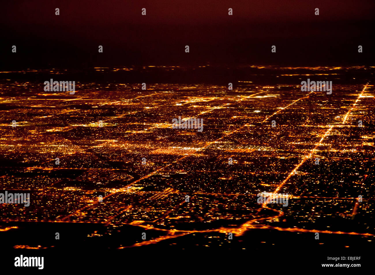 aerial view to Phoenix at night, USA, Arizona, Phoenix Stock Photohttps://www.alamy.com/image-license-details/?v=1https://www.alamy.com/stock-photo-aerial-view-to-phoenix-at-night-usa-arizona-phoenix-76009459.html
RMEBJERF–aerial view to Phoenix at night, USA, Arizona, Phoenix
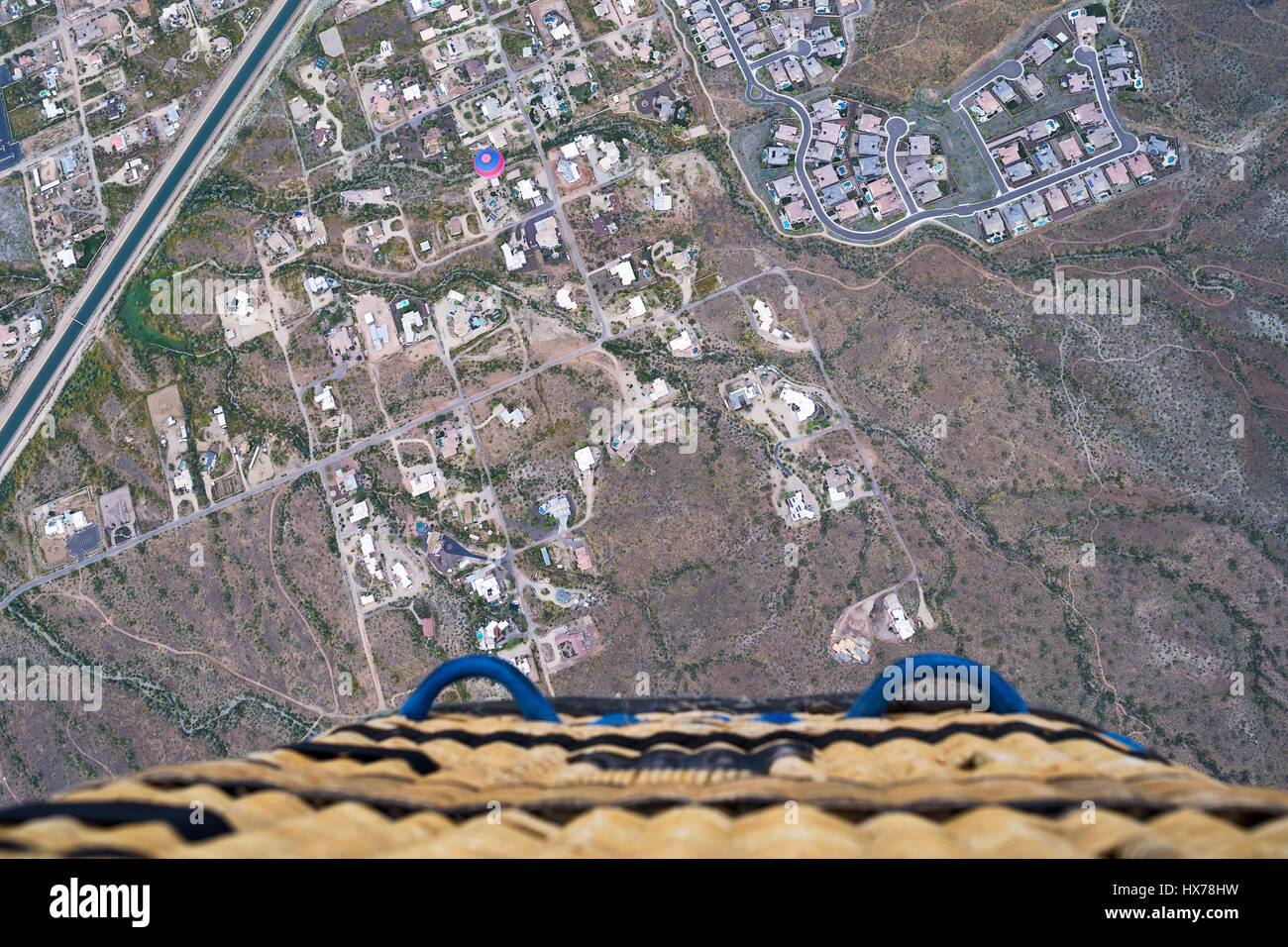 Scenic view looking down from a hot air balloon in flight over Phoenix, Arizona Stock Photohttps://www.alamy.com/image-license-details/?v=1https://www.alamy.com/stock-photo-scenic-view-looking-down-from-a-hot-air-balloon-in-flight-over-phoenix-136614069.html
RFHX78HW–Scenic view looking down from a hot air balloon in flight over Phoenix, Arizona
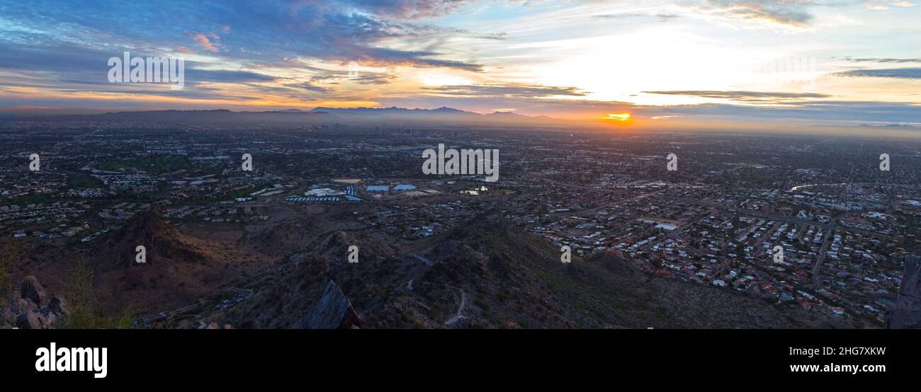 Panoramic Aerial Landscape View Sun Setting Horizon Metropolitan City Phoenix Arizona. Piestewa Mountain Peak Top Sonoran Natural Preserve Hiking Stock Photohttps://www.alamy.com/image-license-details/?v=1https://www.alamy.com/panoramic-aerial-landscape-view-sun-setting-horizon-metropolitan-city-phoenix-arizona-piestewa-mountain-peak-top-sonoran-natural-preserve-hiking-image457478669.html
RF2HG7XKW–Panoramic Aerial Landscape View Sun Setting Horizon Metropolitan City Phoenix Arizona. Piestewa Mountain Peak Top Sonoran Natural Preserve Hiking
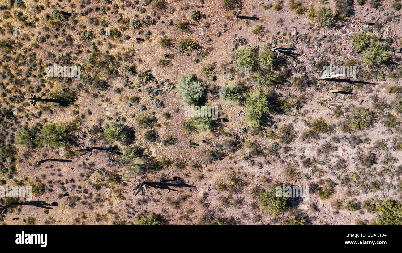 Drone view of a cactus field in Phoenix Arizona Stock Photohttps://www.alamy.com/image-license-details/?v=1https://www.alamy.com/drone-view-of-a-cactus-field-in-phoenix-arizona-image385192784.html
RM2DAK194–Drone view of a cactus field in Phoenix Arizona
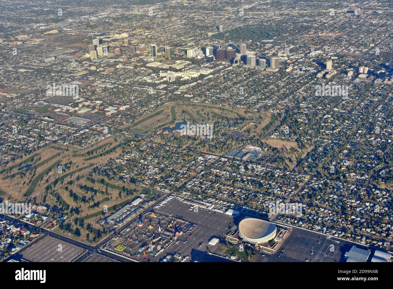 Aerial landscape view of Phoenix, Arizona with Arizona Veterans Memorial Coliseum, golf course, amusement park and city skyline in the view. Stock Photohttps://www.alamy.com/image-license-details/?v=1https://www.alamy.com/aerial-landscape-view-of-phoenix-arizona-with-arizona-veterans-memorial-coliseum-golf-course-amusement-park-and-city-skyline-in-the-view-image384374771.html
RF2D99NXB–Aerial landscape view of Phoenix, Arizona with Arizona Veterans Memorial Coliseum, golf course, amusement park and city skyline in the view.
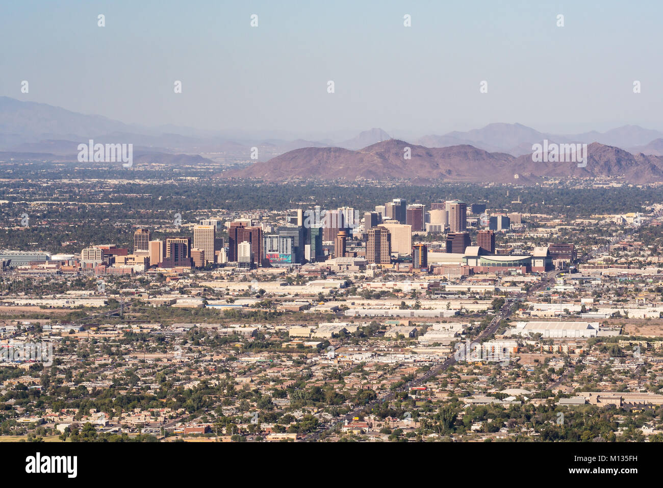 PHOENIX, AZ - OCTOBER 25, 2017: Skyline and suburban sprawl of Phoenix, Arizona from South Mountain. Stock Photohttps://www.alamy.com/image-license-details/?v=1https://www.alamy.com/stock-photo-phoenix-az-october-25-2017-skyline-and-suburban-sprawl-of-phoenix-172788549.html
RFM135FH–PHOENIX, AZ - OCTOBER 25, 2017: Skyline and suburban sprawl of Phoenix, Arizona from South Mountain.
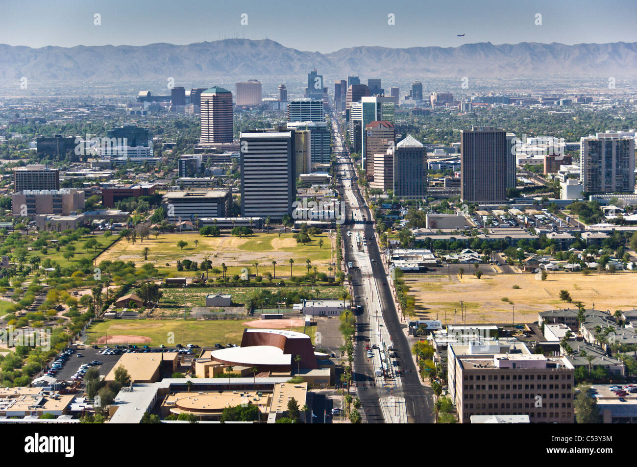 Looking south at the uptown and downtown areas of Phoenix. Central Ave. Stock Photohttps://www.alamy.com/image-license-details/?v=1https://www.alamy.com/stock-photo-looking-south-at-the-uptown-and-downtown-areas-of-phoenix-central-37581144.html
RMC53Y3M–Looking south at the uptown and downtown areas of Phoenix. Central Ave.
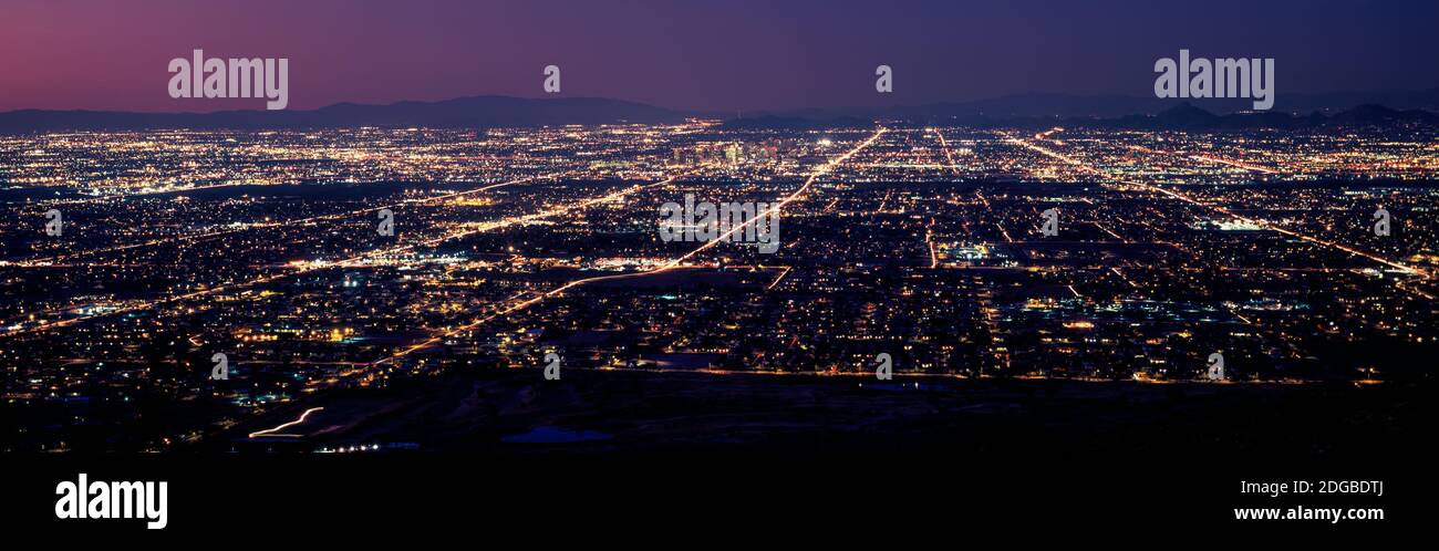 Aerial view of a city lit up at night, Phoenix, Maricopa County, Arizona, USA Stock Photohttps://www.alamy.com/image-license-details/?v=1https://www.alamy.com/aerial-view-of-a-city-lit-up-at-night-phoenix-maricopa-county-arizona-usa-image388714946.html
RM2DGBDTJ–Aerial view of a city lit up at night, Phoenix, Maricopa County, Arizona, USA
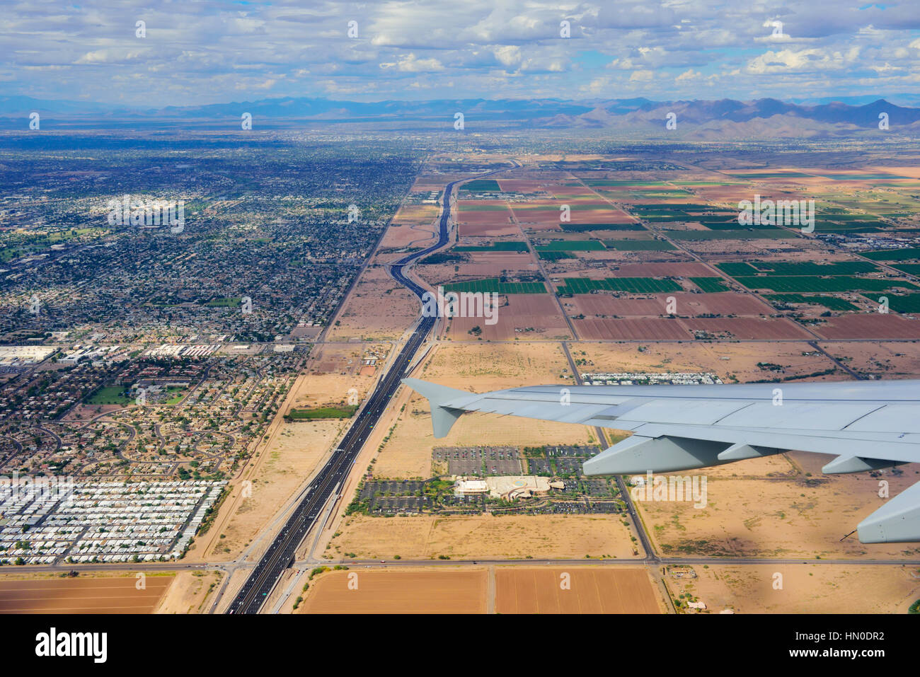 Aerial view Phoenix, Arizona showing the abrupt change from housing in built to agriculture in desert area Stock Photohttps://www.alamy.com/image-license-details/?v=1https://www.alamy.com/stock-photo-aerial-view-phoenix-arizona-showing-the-abrupt-change-from-housing-133391190.html
RFHN0DR2–Aerial view Phoenix, Arizona showing the abrupt change from housing in built to agriculture in desert area
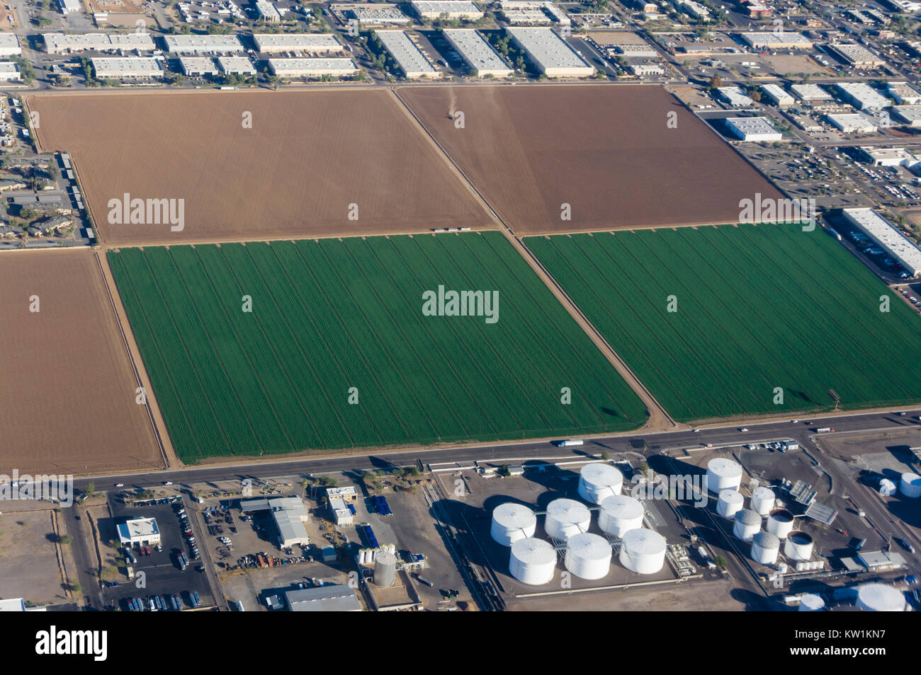 Aerial view of agricultural land surrounded by industrial and residential construction Stock Photohttps://www.alamy.com/image-license-details/?v=1https://www.alamy.com/stock-photo-aerial-view-of-agricultural-land-surrounded-by-industrial-and-residential-170297155.html
RMKW1KN7–Aerial view of agricultural land surrounded by industrial and residential construction
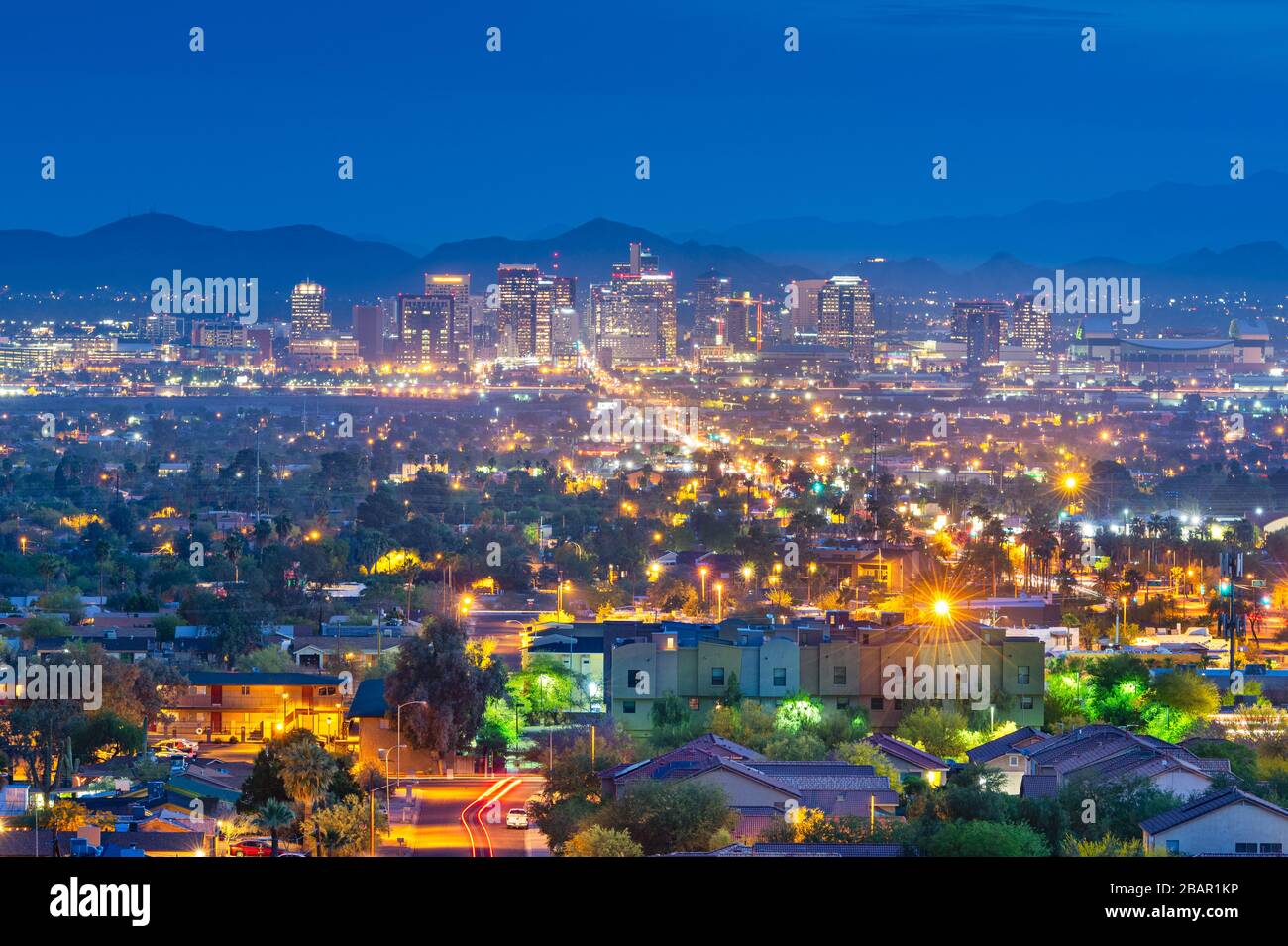 Phoenix, Arizona, USA downtown cityscape at dusk. Stock Photohttps://www.alamy.com/image-license-details/?v=1https://www.alamy.com/phoenix-arizona-usa-downtown-cityscape-at-dusk-image350860154.html
RF2BAR1KP–Phoenix, Arizona, USA downtown cityscape at dusk.
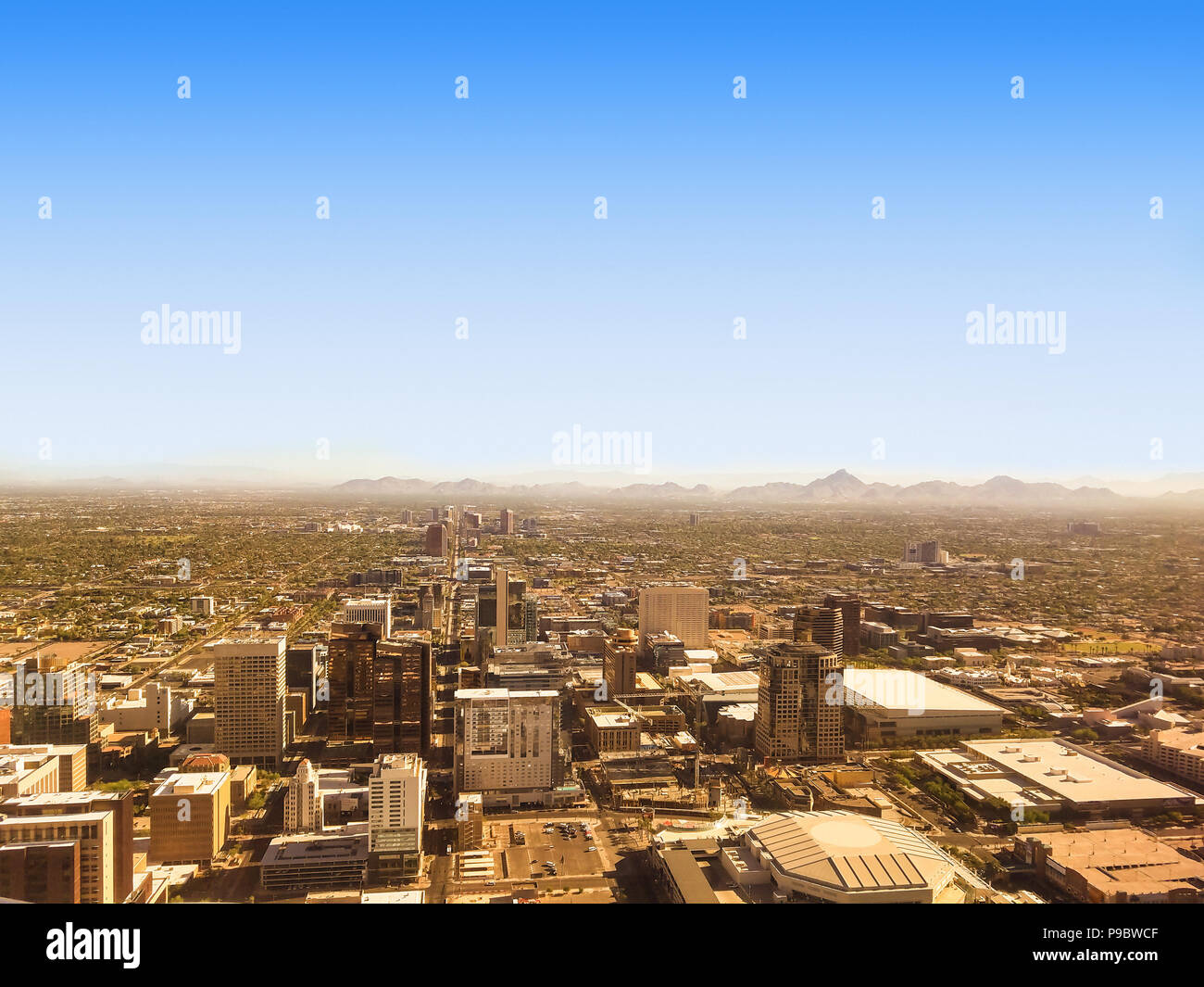 Bird eye view of Phoenix Arizona downtown, on a sunny July morning. Stock Photohttps://www.alamy.com/image-license-details/?v=1https://www.alamy.com/bird-eye-view-of-phoenix-arizona-downtown-on-a-sunny-july-morning-image212317743.html
RFP9BWCF–Bird eye view of Phoenix Arizona downtown, on a sunny July morning.
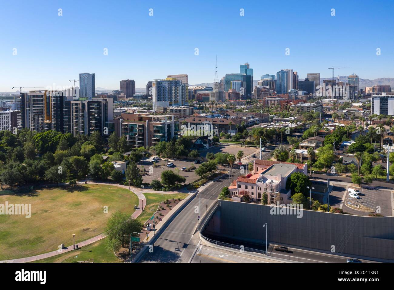 Aerial views of downtown Phoenix and the trendy RoRo neighborhood, Arizona Stock Photohttps://www.alamy.com/image-license-details/?v=1https://www.alamy.com/aerial-views-of-downtown-phoenix-and-the-trendy-roro-neighborhood-arizona-image364418685.html
RF2C4TKN1–Aerial views of downtown Phoenix and the trendy RoRo neighborhood, Arizona
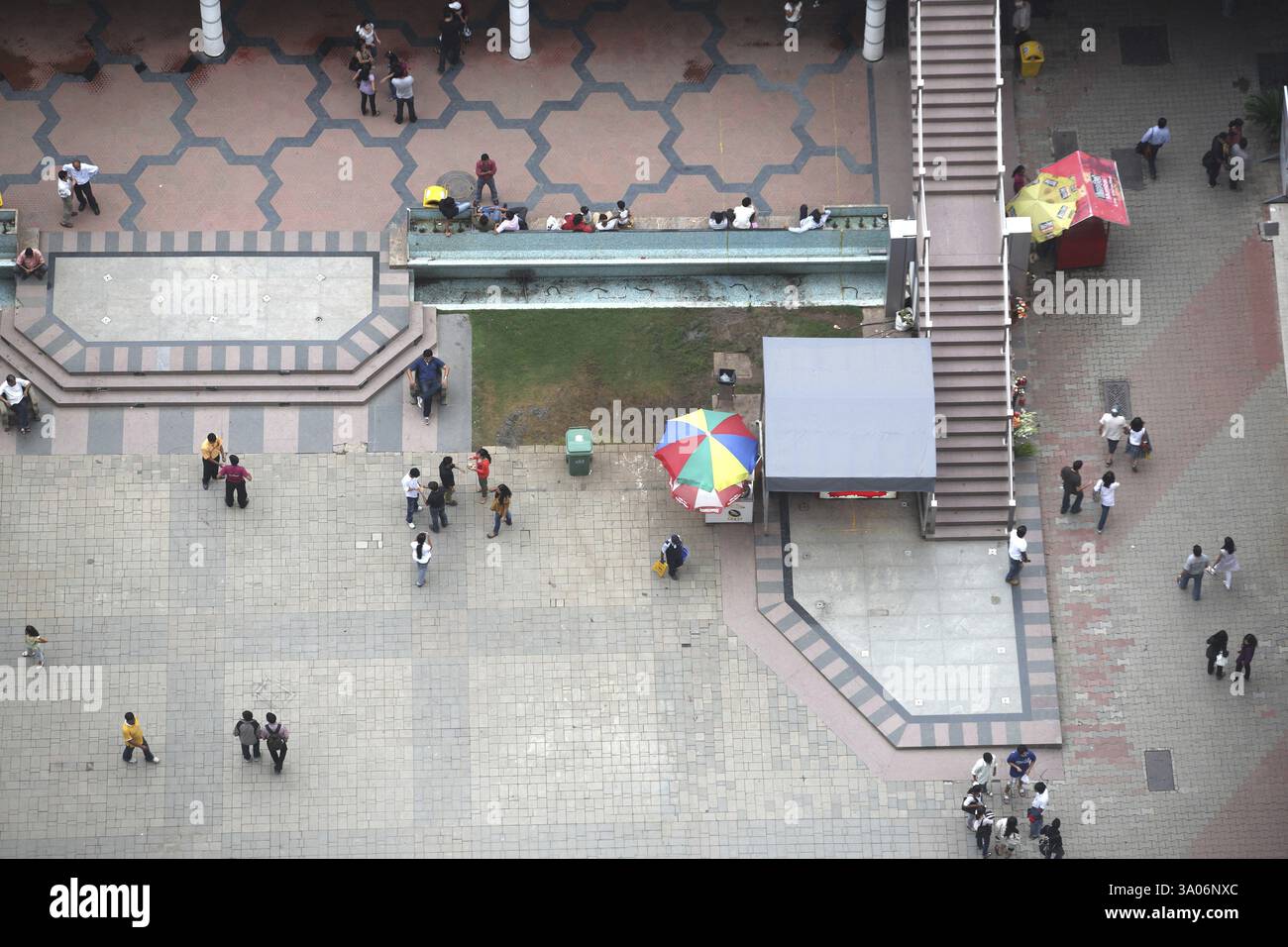 People shopping in high street phoenix at lower parel, Bombay Mumbai, Maharashtra, India, Asia Stock Photohttps://www.alamy.com/image-license-details/?v=1https://www.alamy.com/people-shopping-in-high-street-phoenix-at-lower-parel-bombay-mumbai-maharashtra-india-asia-image654142900.html
RM3A06NXC–People shopping in high street phoenix at lower parel, Bombay Mumbai, Maharashtra, India, Asia
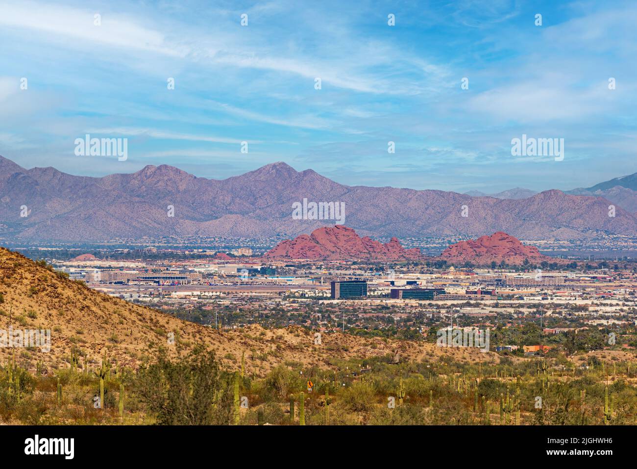 Aerial view looking at Sky Harbor International Airport in Phoenix, Arizona Stock Photohttps://www.alamy.com/image-license-details/?v=1https://www.alamy.com/aerial-view-looking-at-sky-harbor-international-airport-in-phoenix-arizona-image474907698.html
RF2JGHWH6–Aerial view looking at Sky Harbor International Airport in Phoenix, Arizona
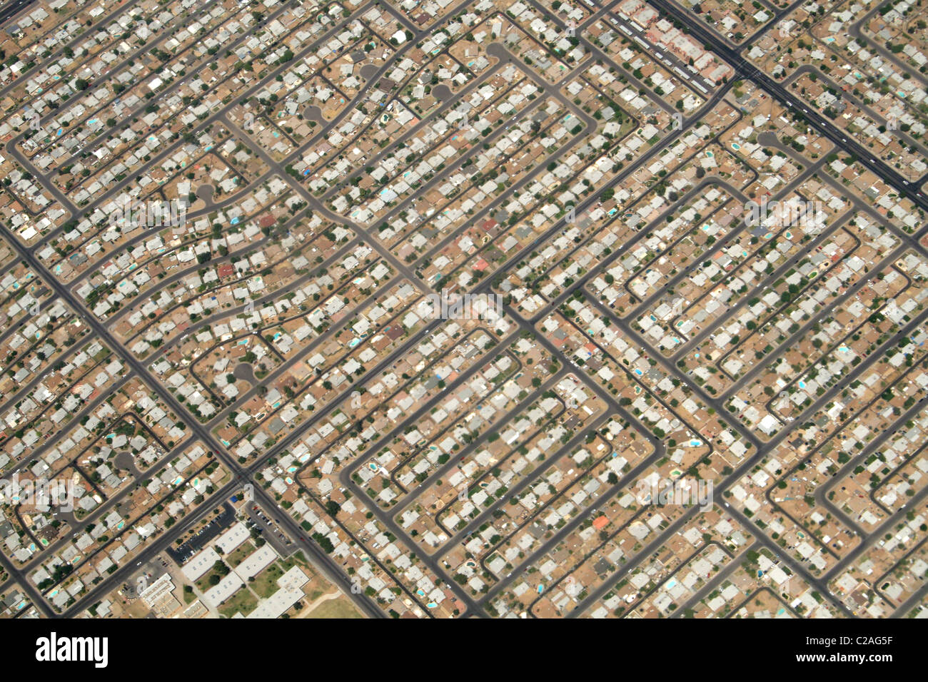 Aerial residential urban sprawl west of Phoenix Arizona Stock Photohttps://www.alamy.com/image-license-details/?v=1https://www.alamy.com/stock-photo-aerial-residential-urban-sprawl-west-of-phoenix-arizona-35882267.html
RMC2AG5F–Aerial residential urban sprawl west of Phoenix Arizona
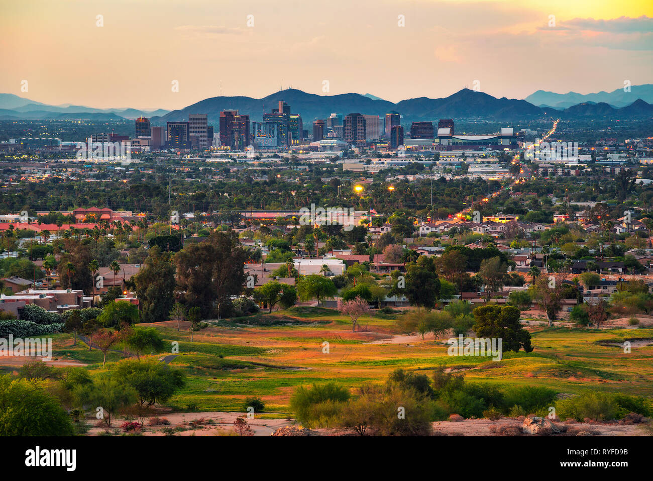 Phoenix Arizona skyline at sunset Stock Photohttps://www.alamy.com/image-license-details/?v=1https://www.alamy.com/phoenix-arizona-skyline-at-sunset-image240670231.html
RFRYFD9B–Phoenix Arizona skyline at sunset
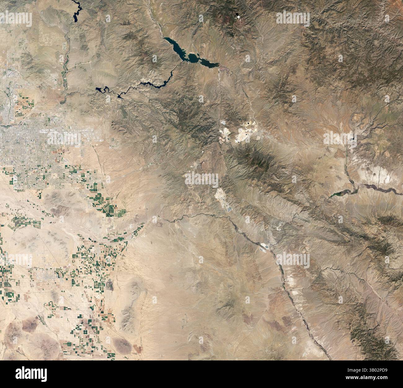 Satellite view of Phoenix and the Tonto National Forest, Phoenix, Arizona, USA Stock Photohttps://www.alamy.com/image-license-details/?v=1https://www.alamy.com/satellite-view-of-phoenix-and-the-tonto-national-forest-phoenix-arizona-usa-image671265877.html
RM3B02PD9–Satellite view of Phoenix and the Tonto National Forest, Phoenix, Arizona, USA
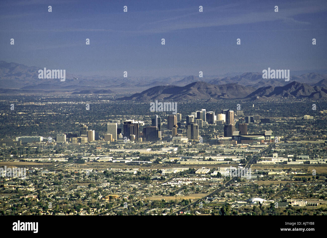 View of Phoenix from Dobbins Lookout at South Mountain Park, Phoenix, Arizona, USA Stock Photohttps://www.alamy.com/image-license-details/?v=1https://www.alamy.com/view-of-phoenix-from-dobbins-lookout-at-south-mountain-park-phoenix-image4836279.html
RFAJTYB8–View of Phoenix from Dobbins Lookout at South Mountain Park, Phoenix, Arizona, USA
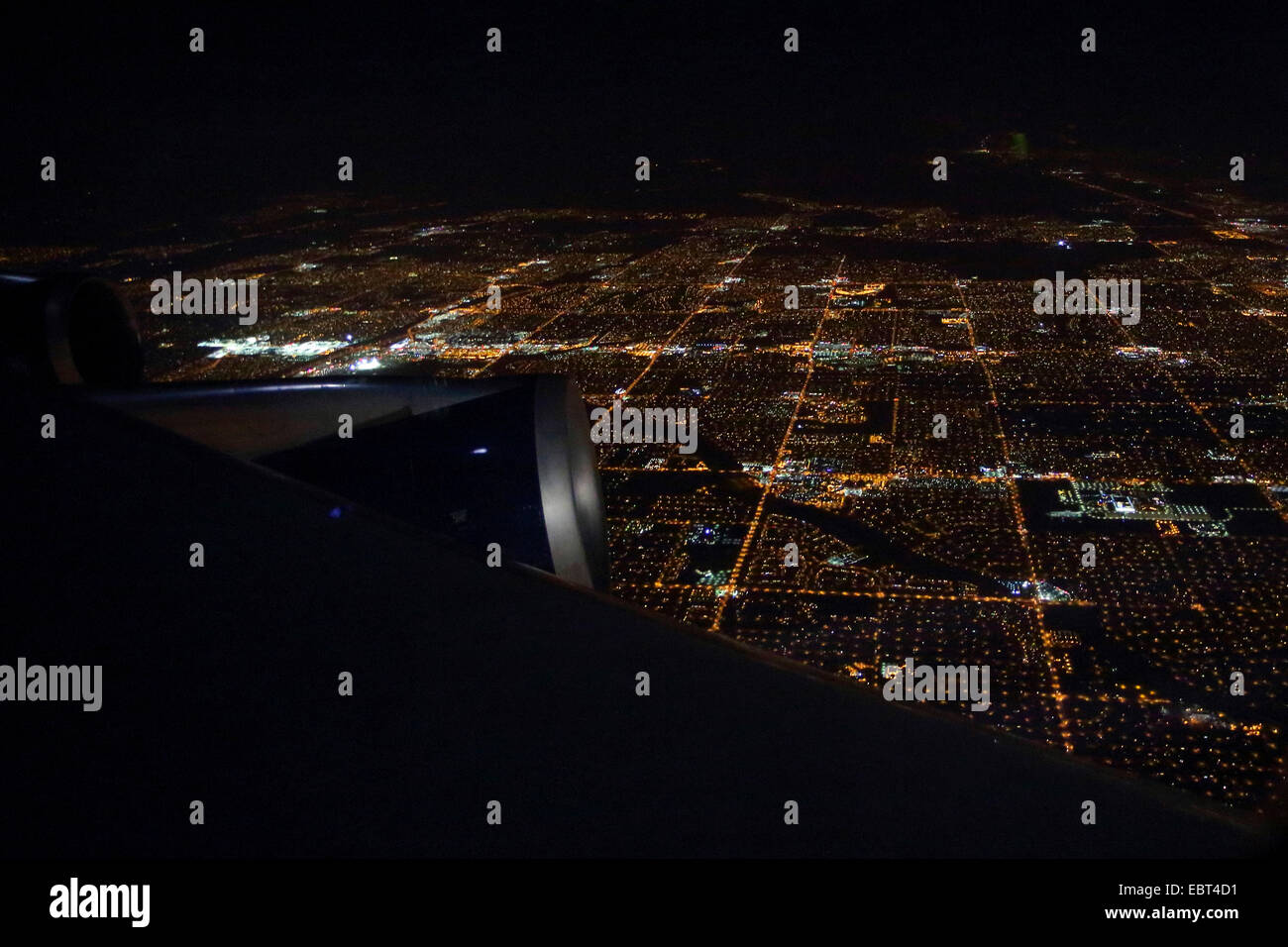 view from airplane to the city of Phoenix at night, USA, Arizona, Phoenix Stock Photohttps://www.alamy.com/image-license-details/?v=1https://www.alamy.com/stock-photo-view-from-airplane-to-the-city-of-phoenix-at-night-usa-arizona-phoenix-76133037.html
RMEBT4D1–view from airplane to the city of Phoenix at night, USA, Arizona, Phoenix
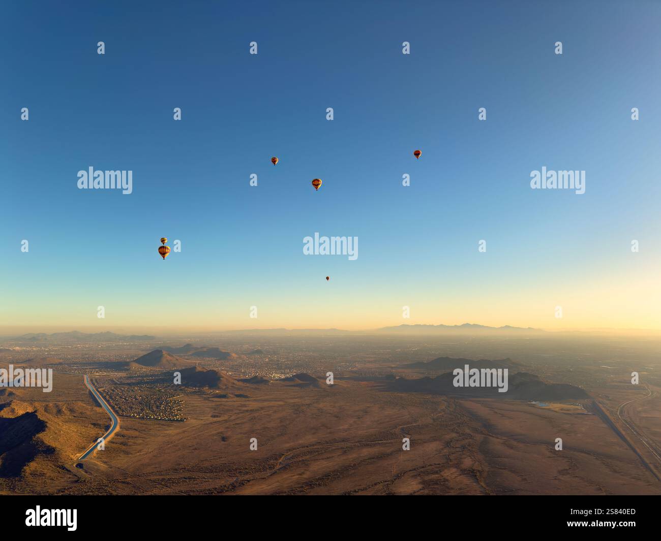 Aerial view from several hot air balloons in flight showing panoramic view of Phoenix Arizona during winter season Stock Photohttps://www.alamy.com/image-license-details/?v=1https://www.alamy.com/aerial-view-from-several-hot-air-balloons-in-flight-showing-panoramic-view-of-phoenix-arizona-during-winter-season-image641789077.html
RF2S840ED–Aerial view from several hot air balloons in flight showing panoramic view of Phoenix Arizona during winter season
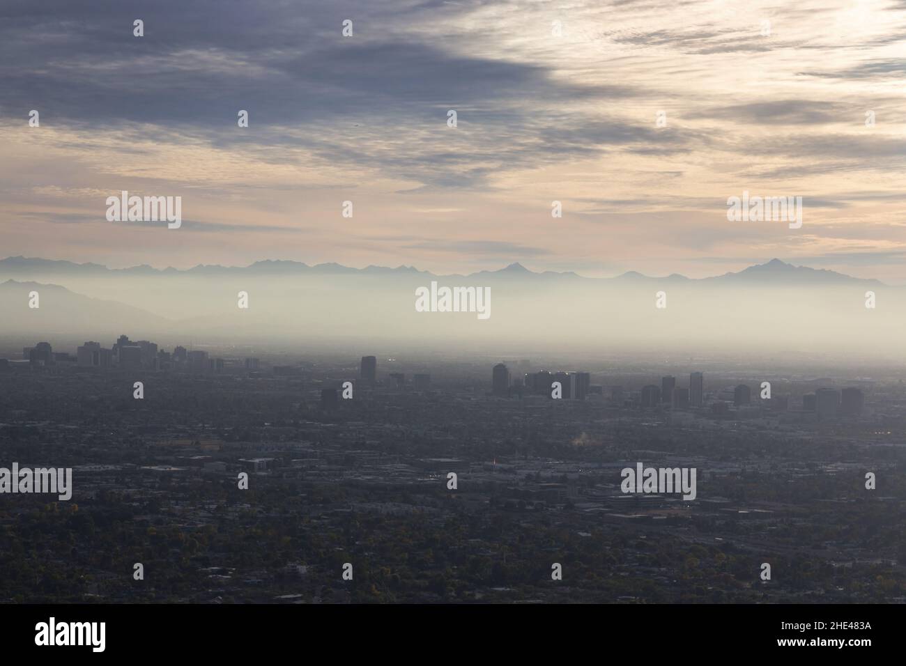 Aerial Landscape View Smog Pollution Layer Skyline Over Metropolitan Sun City Valley. Piestewa Peak Summit Phoenix Arizona Mountain Preserve Stock Photohttps://www.alamy.com/image-license-details/?v=1https://www.alamy.com/aerial-landscape-view-smog-pollution-layer-skyline-over-metropolitan-sun-city-valley-piestewa-peak-summit-phoenix-arizona-mountain-preserve-image456168926.html
RF2HE483A–Aerial Landscape View Smog Pollution Layer Skyline Over Metropolitan Sun City Valley. Piestewa Peak Summit Phoenix Arizona Mountain Preserve
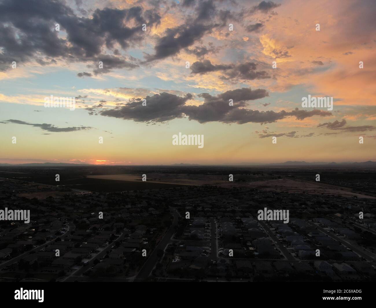 Aerial image of a community neighborhood in Arizona as the sun is setting. Stock Photohttps://www.alamy.com/image-license-details/?v=1https://www.alamy.com/aerial-image-of-a-community-neighborhood-in-arizona-as-the-sun-is-setting-image365684636.html
RF2C6XADG–Aerial image of a community neighborhood in Arizona as the sun is setting.
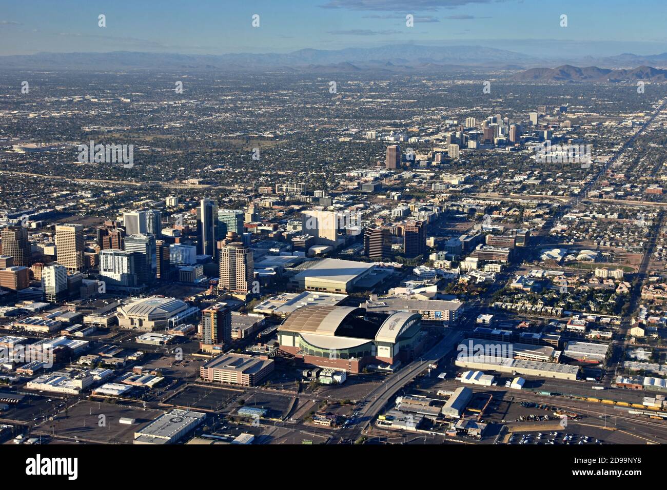 Aerial view from the airplane of downtown Phoenix, Arizona with sport stadiums and skyscrapers and city landscape, North mountain in the background Stock Photohttps://www.alamy.com/image-license-details/?v=1https://www.alamy.com/aerial-view-from-the-airplane-of-downtown-phoenix-arizona-with-sport-stadiums-and-skyscrapers-and-city-landscape-north-mountain-in-the-background-image384374796.html
RF2D99NY8–Aerial view from the airplane of downtown Phoenix, Arizona with sport stadiums and skyscrapers and city landscape, North mountain in the background
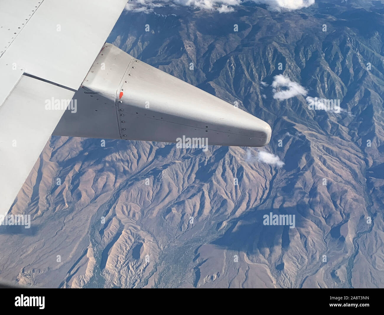 aerial view of Phoenix, Arizona - San Tan Mountain Stock Photohttps://www.alamy.com/image-license-details/?v=1https://www.alamy.com/aerial-view-of-phoenix-arizona-san-tan-mountain-image332444049.html
RF2A8T3NN–aerial view of Phoenix, Arizona - San Tan Mountain
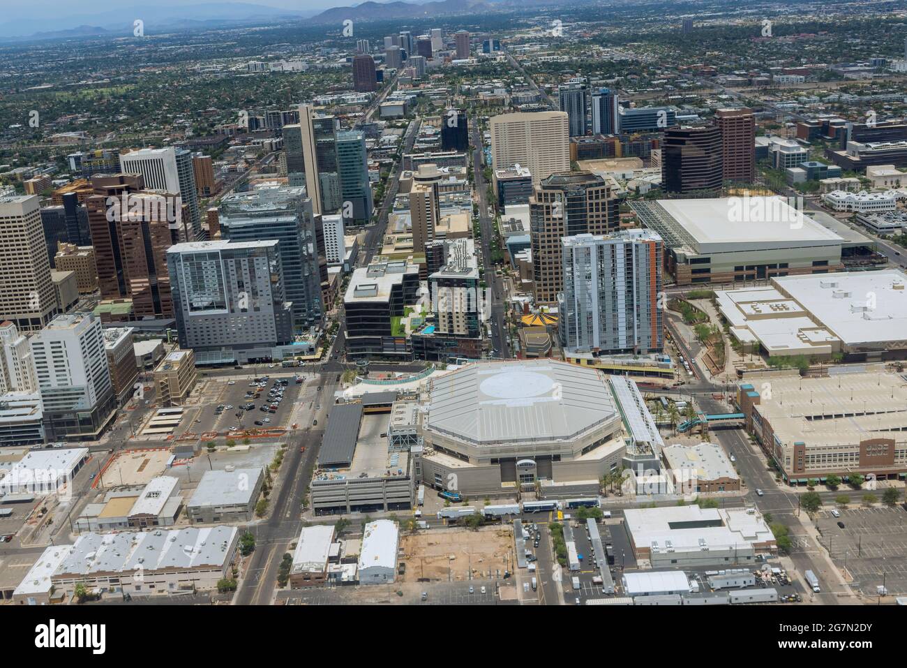 Aerial view of the growth of downtown Phoenix Arizona US looking west in the distance Stock Photohttps://www.alamy.com/image-license-details/?v=1https://www.alamy.com/aerial-view-of-the-growth-of-downtown-phoenix-arizona-us-looking-west-in-the-distance-image435024743.html
RF2G7N2DY–Aerial view of the growth of downtown Phoenix Arizona US looking west in the distance
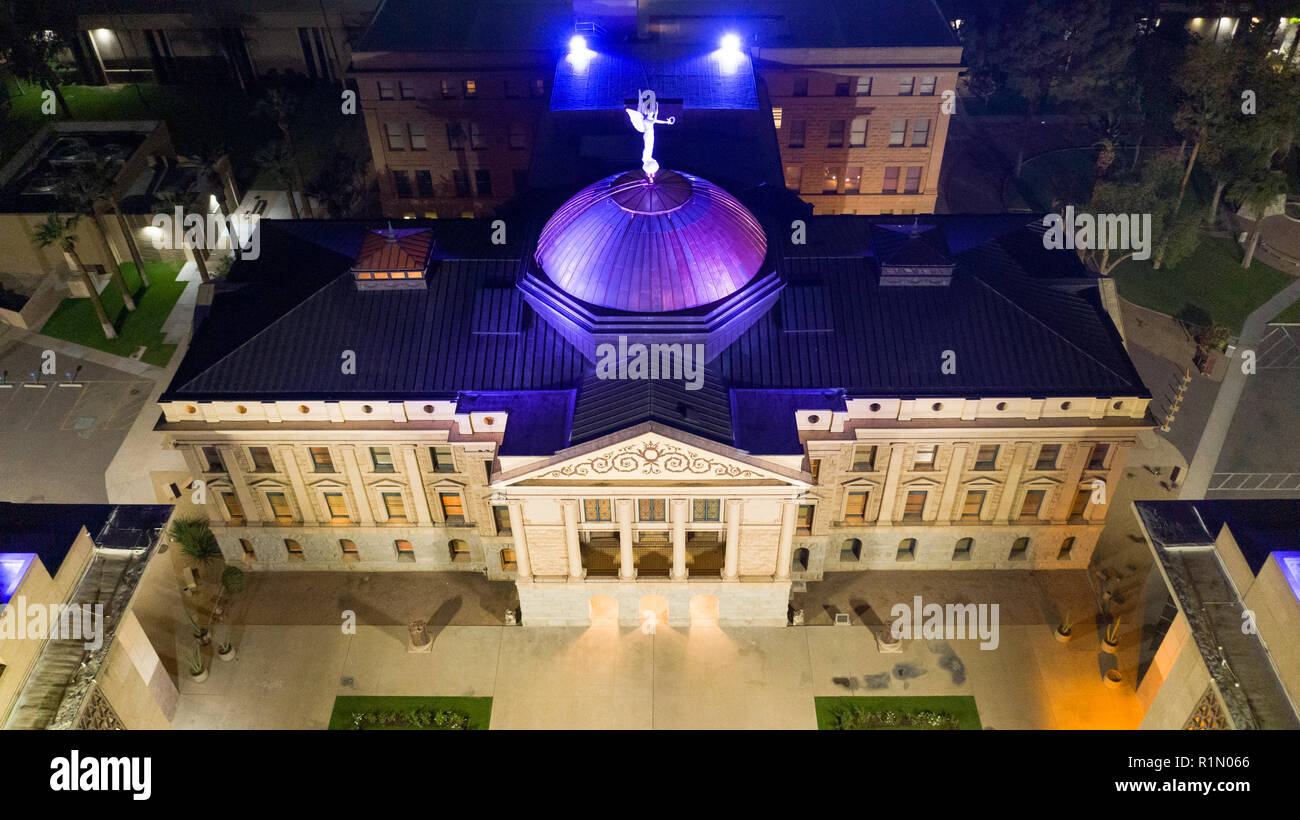 Blue light illuminates the roof in this aerial perspective of the Arizona Capitol building in Phoenix USA Stock Photohttps://www.alamy.com/image-license-details/?v=1https://www.alamy.com/blue-light-illuminates-the-roof-in-this-aerial-perspective-of-the-arizona-capitol-building-in-phoenix-usa-image224810606.html
RFR1N066–Blue light illuminates the roof in this aerial perspective of the Arizona Capitol building in Phoenix USA
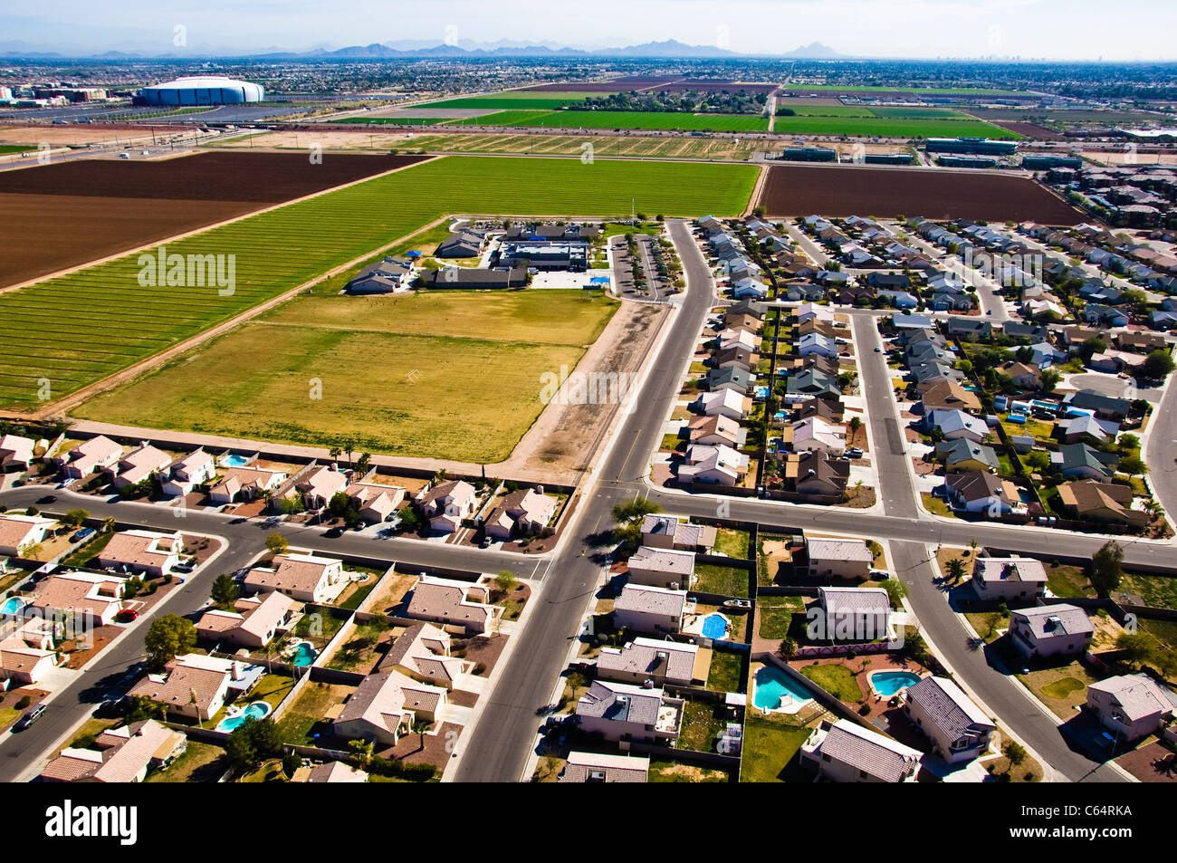 General aerials from West Phoenix, Glendale Arizona. Stock Photohttps://www.alamy.com/image-license-details/?v=1https://www.alamy.com/stock-photo-general-aerials-from-west-phoenix-glendale-arizona-38215054.html
RMC64RKA–General aerials from West Phoenix, Glendale Arizona.
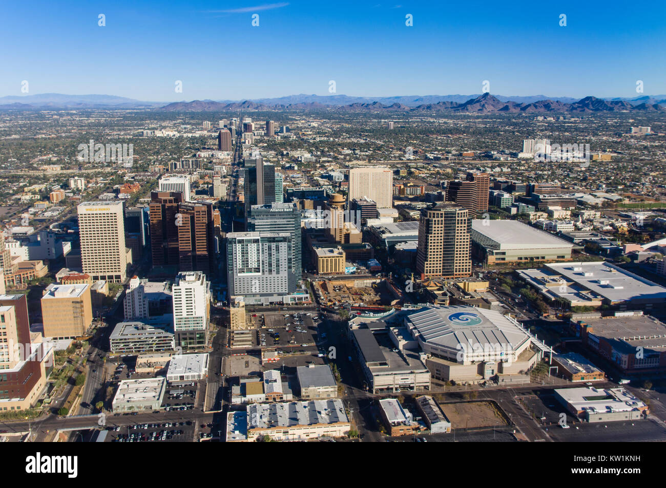 Aerial view of downtown Phoenix Arizona Stock Photohttps://www.alamy.com/image-license-details/?v=1https://www.alamy.com/stock-photo-aerial-view-of-downtown-phoenix-arizona-170297165.html
RMKW1KNH–Aerial view of downtown Phoenix Arizona
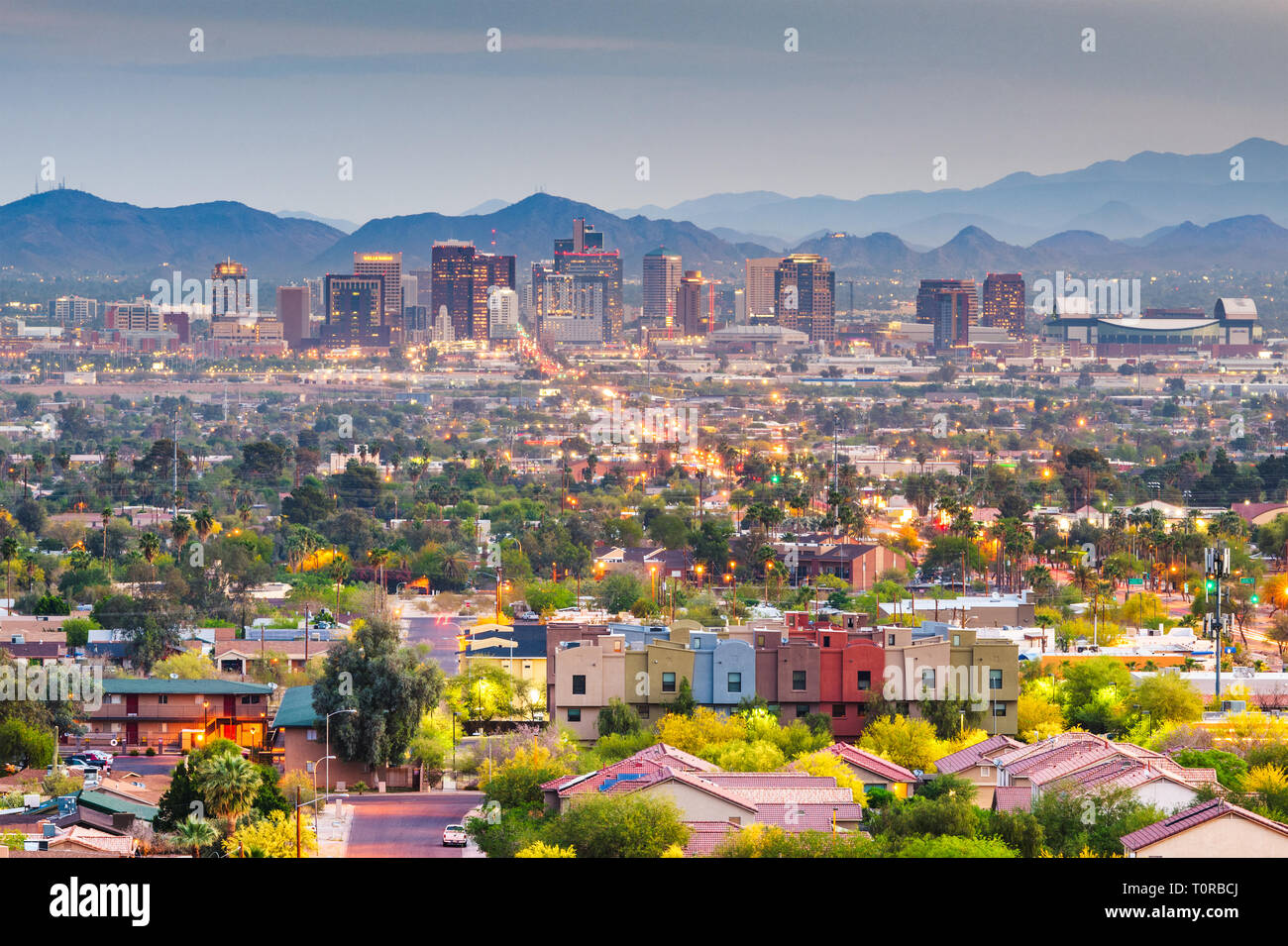 Phoenix, Arizona, USA downtown cityscape at dusk. Stock Photohttps://www.alamy.com/image-license-details/?v=1https://www.alamy.com/phoenix-arizona-usa-downtown-cityscape-at-dusk-image241459026.html
RFT0RBCJ–Phoenix, Arizona, USA downtown cityscape at dusk.
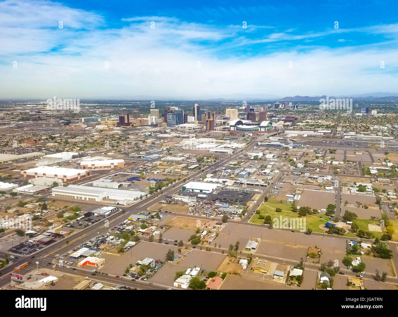 Downtown Phoenix, Arizona, USA. Phoenix is the capitol of Arizona, located in the Valley of the Sun. Stock Photohttps://www.alamy.com/image-license-details/?v=1https://www.alamy.com/stock-photo-downtown-phoenix-arizona-usa-phoenix-is-the-capitol-of-arizona-located-147756441.html
RFJGATRN–Downtown Phoenix, Arizona, USA. Phoenix is the capitol of Arizona, located in the Valley of the Sun.
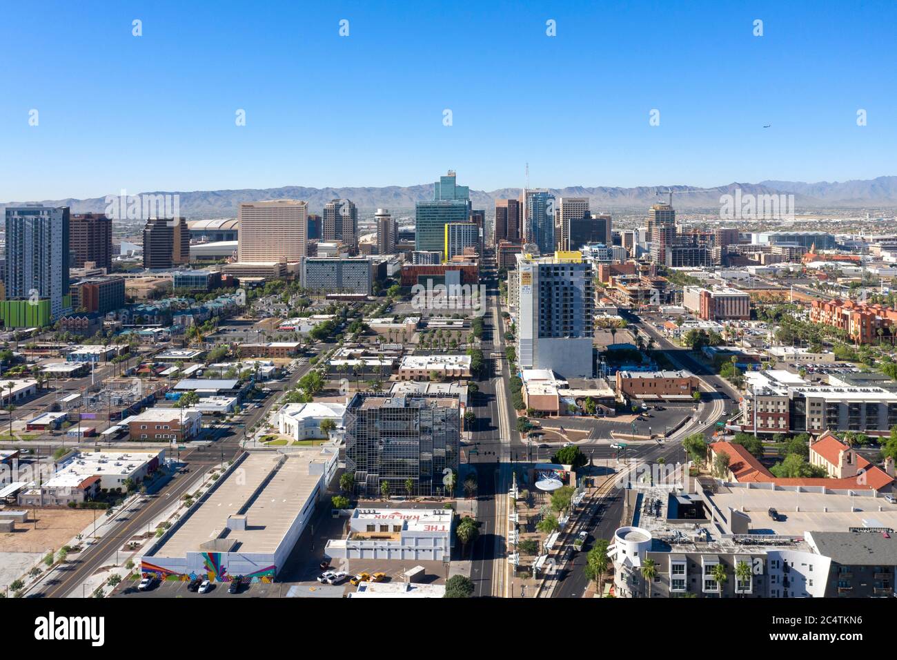 Aerial views of downtown Phoenix and the trendy RoRo neighborhood, Arizona Stock Photohttps://www.alamy.com/image-license-details/?v=1https://www.alamy.com/aerial-views-of-downtown-phoenix-and-the-trendy-roro-neighborhood-arizona-image364418690.html
RF2C4TKN6–Aerial views of downtown Phoenix and the trendy RoRo neighborhood, Arizona
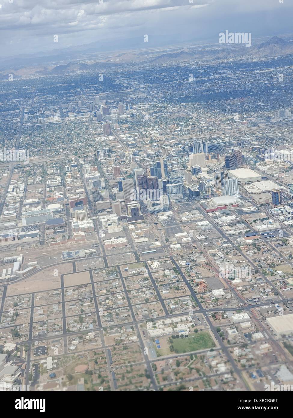 Aerial view of downtown Phoenix, Arizona. Stock Photohttps://www.alamy.com/image-license-details/?v=1https://www.alamy.com/aerial-view-of-downtown-phoenix-arizona-image678834908.html
RF3BCBGRT–Aerial view of downtown Phoenix, Arizona.
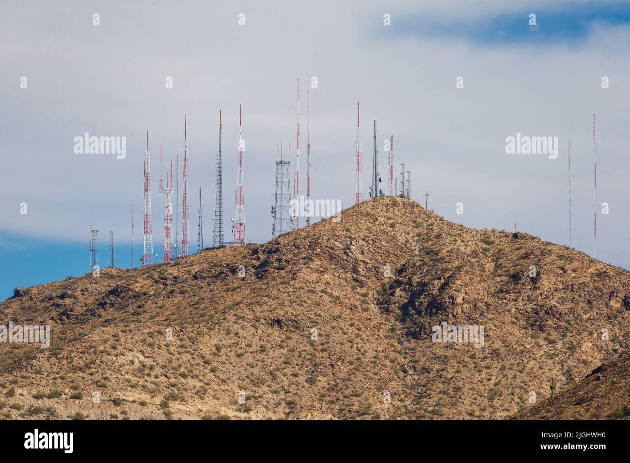 A scenic view of the television and radio towers atop South Mountain in Phoenix, Arizona. Stock Photohttps://www.alamy.com/image-license-details/?v=1https://www.alamy.com/a-scenic-view-of-the-television-and-radio-towers-atop-south-mountain-in-phoenix-arizona-image474907692.html
RF2JGHWH0–A scenic view of the television and radio towers atop South Mountain in Phoenix, Arizona.
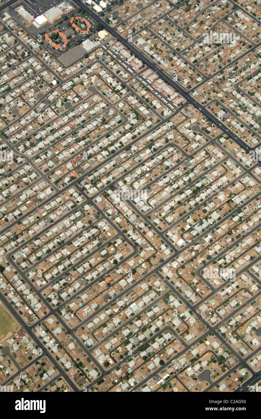 Aerial residential urban sprawl west of Phoenix Arizona Stock Photohttps://www.alamy.com/image-license-details/?v=1https://www.alamy.com/stock-photo-aerial-residential-urban-sprawl-west-of-phoenix-arizona-35882252.html
RMC2AG50–Aerial residential urban sprawl west of Phoenix Arizona
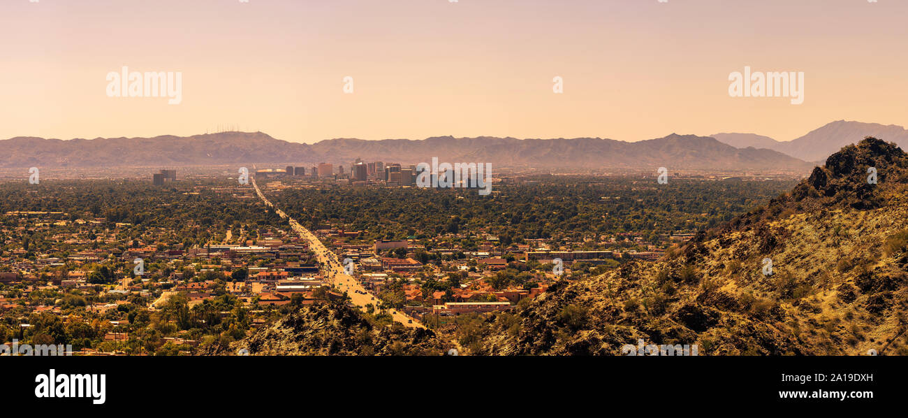 Panorama of Phoenix downtown Stock Photohttps://www.alamy.com/image-license-details/?v=1https://www.alamy.com/panorama-of-phoenix-downtown-image327820153.html
RF2A19DXH–Panorama of Phoenix downtown
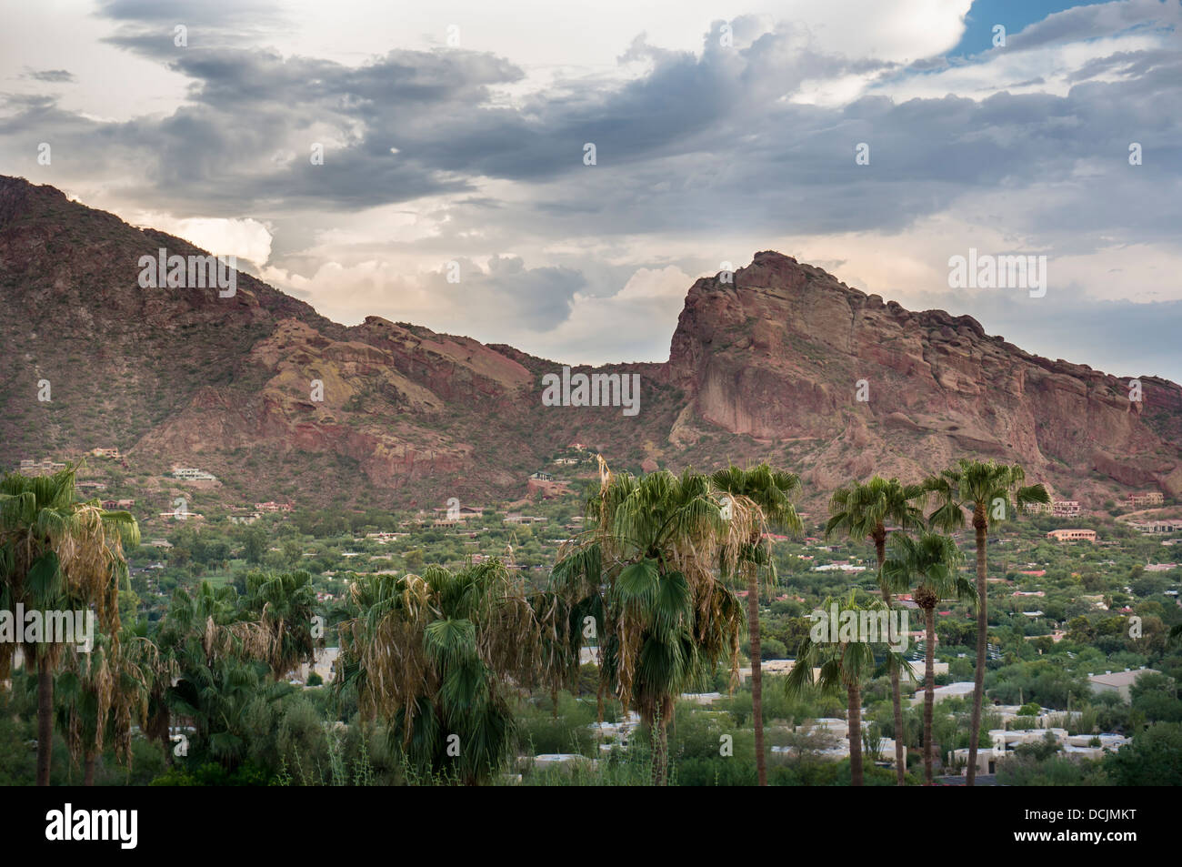 Landscape photo of Camelback Mountain in Phoenix Scottsdale, Arizona Stock Photohttps://www.alamy.com/image-license-details/?v=1https://www.alamy.com/stock-photo-landscape-photo-of-camelback-mountain-in-phoenix-scottsdale-arizona-59418348.html
RFDCJMKT–Landscape photo of Camelback Mountain in Phoenix Scottsdale, Arizona
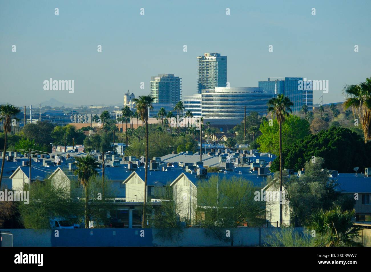 Scottsdale, AZ, USA - 20 JAN 2025 - A view over Scottsdale, Phoenix, Arizona showing the downtown urban sprawl and distant mountains. Stock Photohttps://www.alamy.com/image-license-details/?v=1https://www.alamy.com/scottsdale-az-usa-20-jan-2025-a-view-over-scottsdale-phoenix-arizona-showing-the-downtown-urban-sprawl-and-distant-mountains-image644684691.html
RF2SCRWW7–Scottsdale, AZ, USA - 20 JAN 2025 - A view over Scottsdale, Phoenix, Arizona showing the downtown urban sprawl and distant mountains.
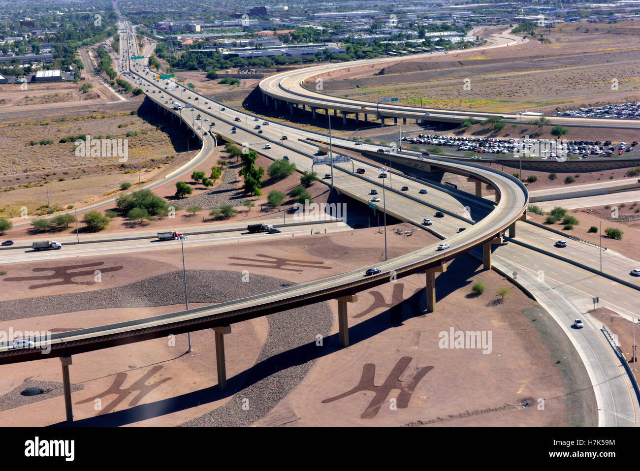 Aerial view of highway interchange (Hohokam Expressway), Phoenix, Arizona Stock Photohttps://www.alamy.com/image-license-details/?v=1https://www.alamy.com/stock-photo-aerial-view-of-highway-interchange-hohokam-expressway-phoenix-arizona-125196448.html
RMH7K59M–Aerial view of highway interchange (Hohokam Expressway), Phoenix, Arizona
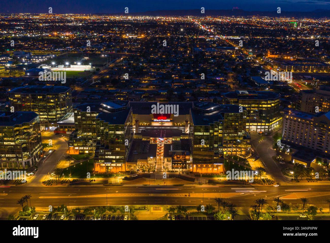 Aerial view of Phoenix City mall and the skyline at sunset in Arizona, United States of America. Stock Photohttps://www.alamy.com/image-license-details/?v=1https://www.alamy.com/aerial-view-of-phoenix-city-mall-and-the-skyline-at-sunset-in-arizona-united-states-of-america-image667405729.html
RF3ANPXPW–Aerial view of Phoenix City mall and the skyline at sunset in Arizona, United States of America.
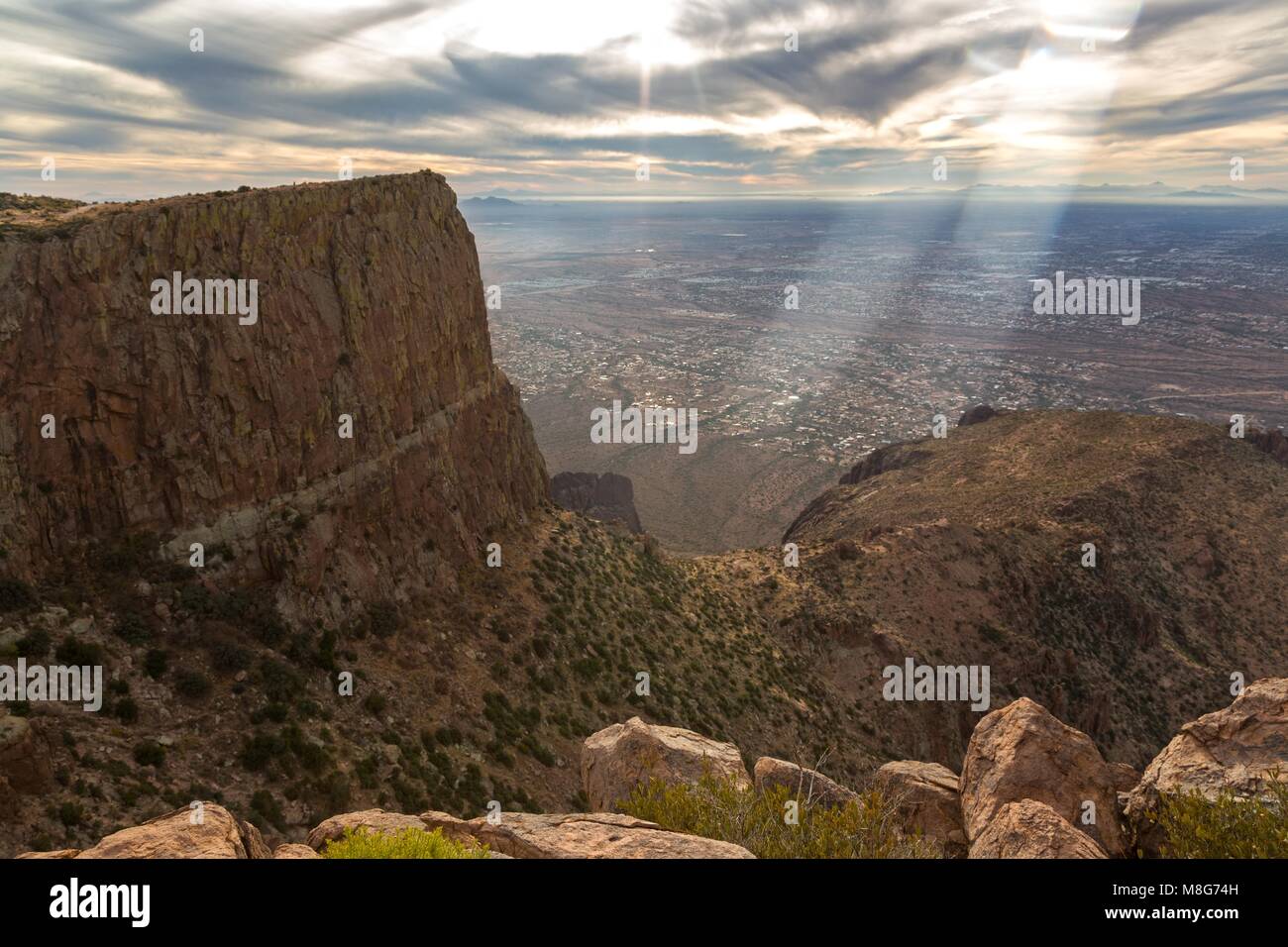 Scenic Aerial Landscape View Distant Phoenix City Arizona Metropolitan Area Skyline Lost Dutchman State Park Desert Flatiron Mountain Peak Foreground Stock Photohttps://www.alamy.com/image-license-details/?v=1https://www.alamy.com/stock-photo-scenic-aerial-landscape-view-distant-phoenix-city-arizona-metropolitan-177377777.html
RFM8G74H–Scenic Aerial Landscape View Distant Phoenix City Arizona Metropolitan Area Skyline Lost Dutchman State Park Desert Flatiron Mountain Peak Foreground
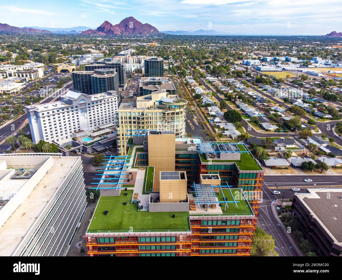 downtown phoenix Stock Photohttps://www.alamy.com/image-license-details/?v=1https://www.alamy.com/downtown-phoenix-image501393088.html
RF2M3MC00–downtown phoenix
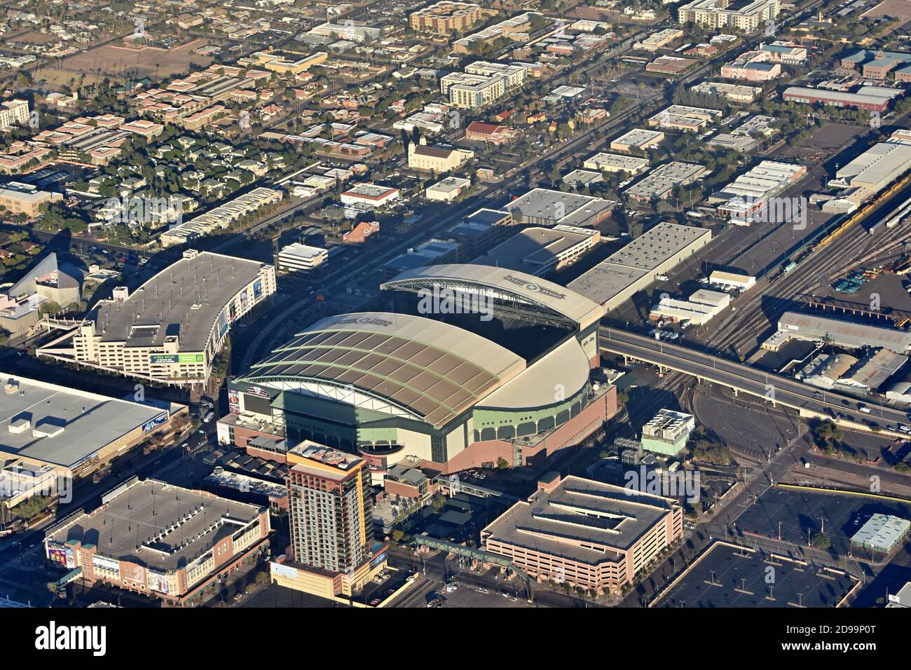 Aerial view from the airplane of retractable roof Chase Field baseball stadium and city skyline of downtown Phoenix, Arizona Stock Photohttps://www.alamy.com/image-license-details/?v=1https://www.alamy.com/aerial-view-from-the-airplane-of-retractable-roof-chase-field-baseball-stadium-and-city-skyline-of-downtown-phoenix-arizona-image384374840.html
RF2D99P0T–Aerial view from the airplane of retractable roof Chase Field baseball stadium and city skyline of downtown Phoenix, Arizona
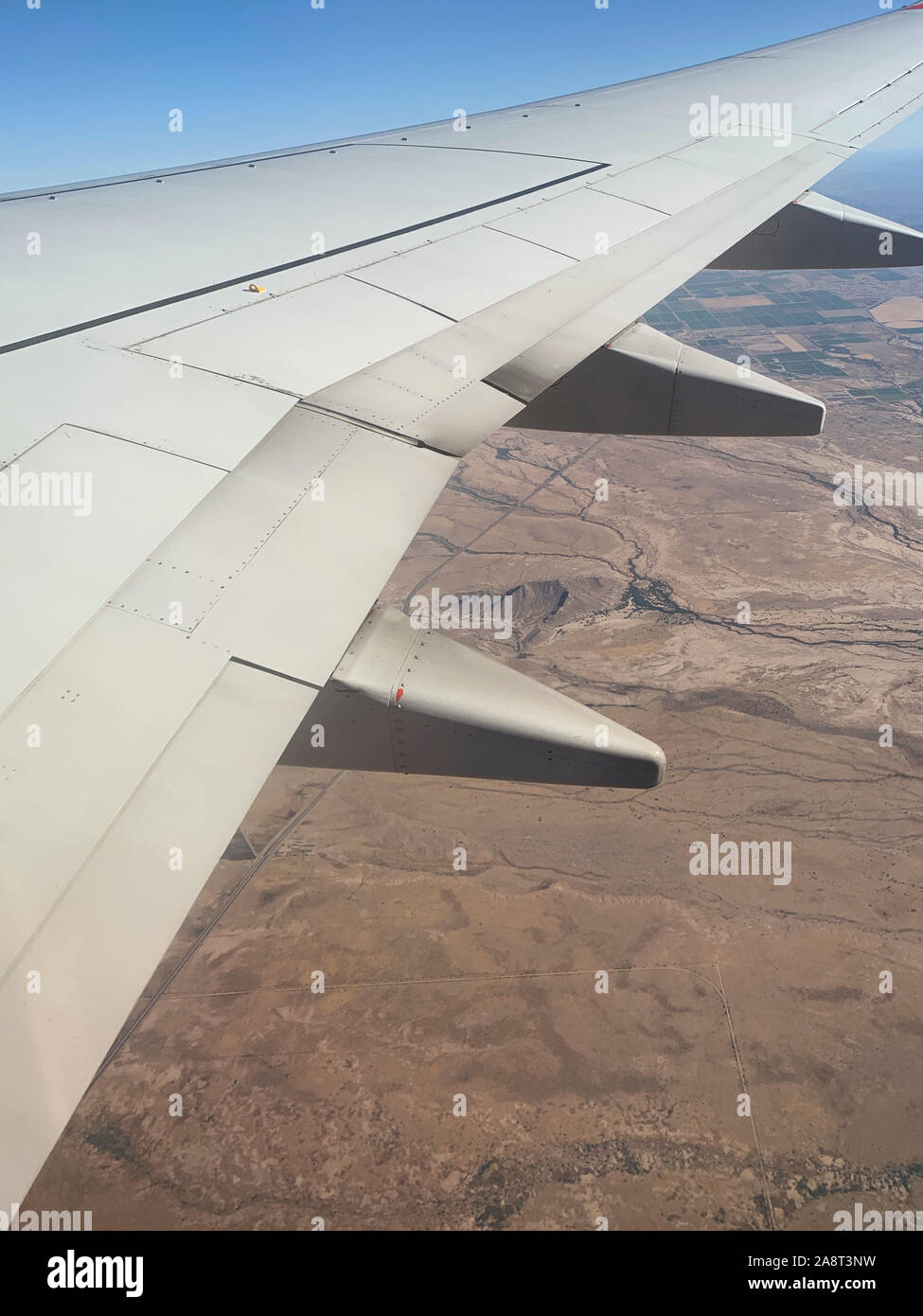 aerial view of Phoenix, Arizona South Mountain Park Reserve Stock Photohttps://www.alamy.com/image-license-details/?v=1https://www.alamy.com/aerial-view-of-phoenix-arizona-south-mountain-park-reserve-image332444053.html
RF2A8T3NW–aerial view of Phoenix, Arizona South Mountain Park Reserve
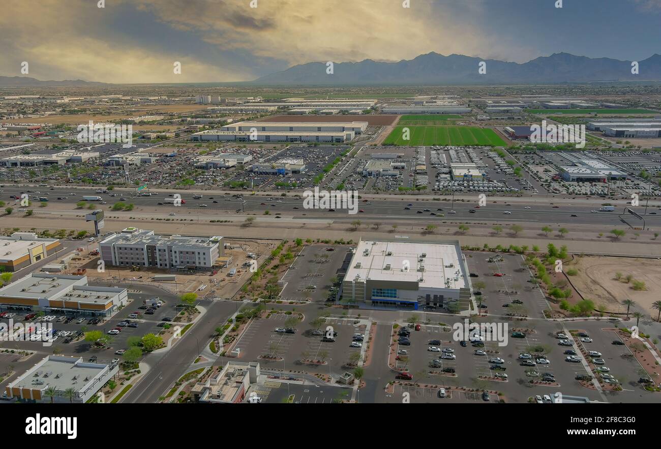 Aerial top view of typical a Avondale small town shopping center with big parking for car on Arizona Stock Photohttps://www.alamy.com/image-license-details/?v=1https://www.alamy.com/aerial-top-view-of-typical-a-avondale-small-town-shopping-center-with-big-parking-for-car-on-arizona-image418232304.html
RF2F8C3G0–Aerial top view of typical a Avondale small town shopping center with big parking for car on Arizona
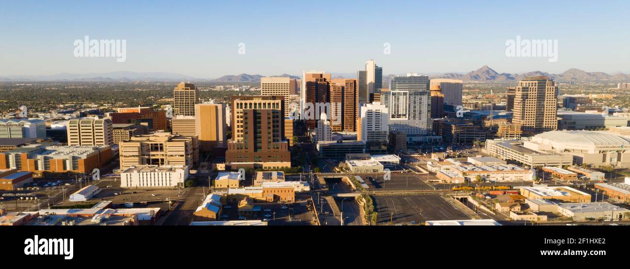 Aerial View Phoenix State Capital City of Arizona Downtown City Skyline Stock Photohttps://www.alamy.com/image-license-details/?v=1https://www.alamy.com/aerial-view-phoenix-state-capital-city-of-arizona-downtown-city-skyline-image414057450.html
RF2F1HXE2–Aerial View Phoenix State Capital City of Arizona Downtown City Skyline
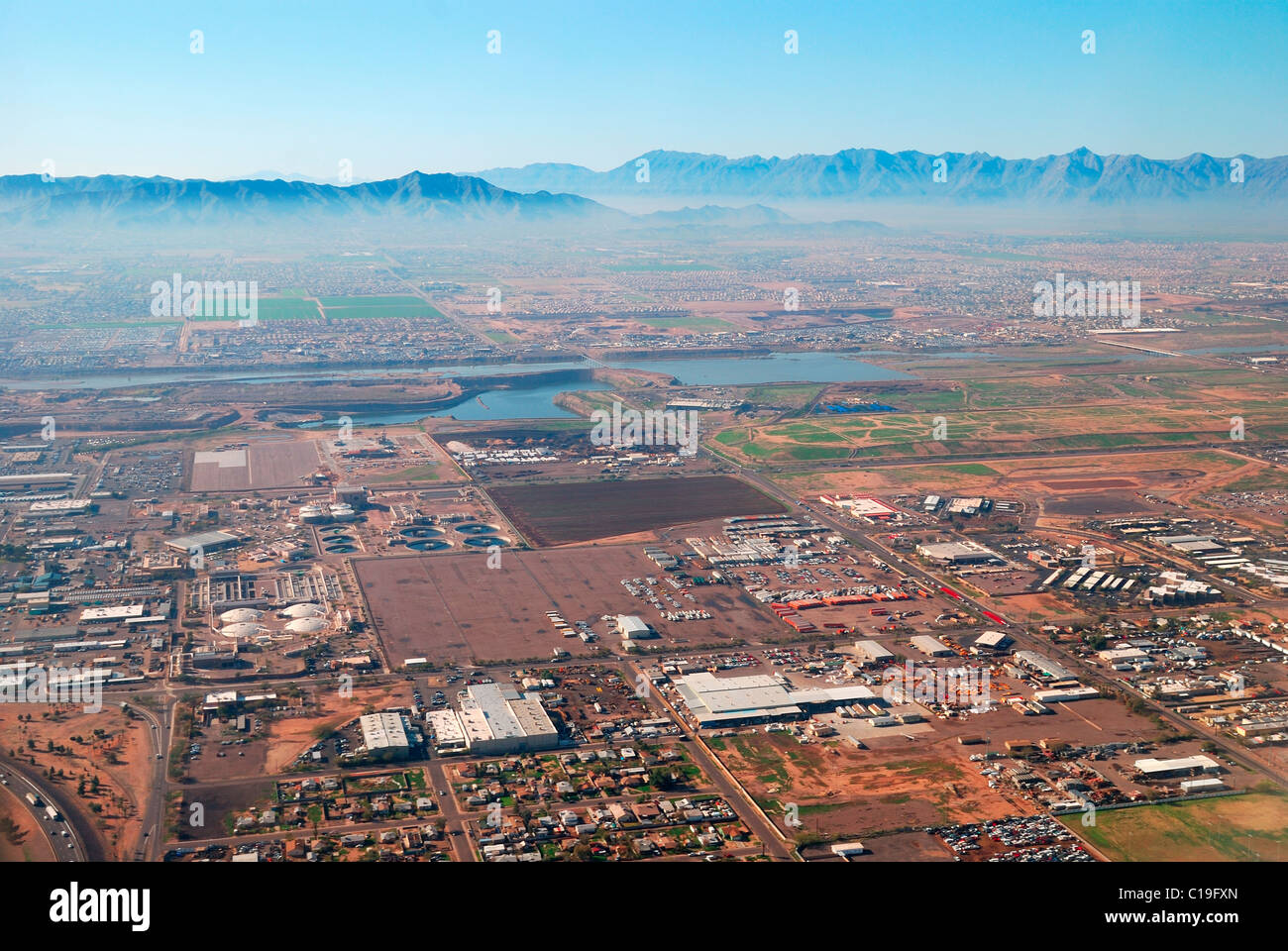 Aerial view of Phoenix city with buildings and CamelBack mountain in Arizona. Stock Photohttps://www.alamy.com/image-license-details/?v=1https://www.alamy.com/stock-photo-aerial-view-of-phoenix-city-with-buildings-and-camelback-mountain-35245469.html
RFC19FXN–Aerial view of Phoenix city with buildings and CamelBack mountain in Arizona.
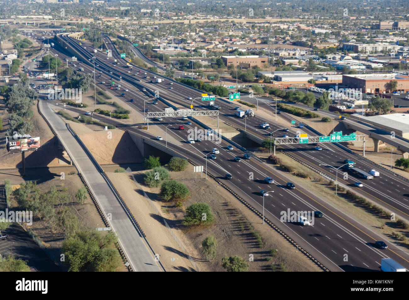 Aerial view of interstate 10 near Phoenix Arizona Stock Photohttps://www.alamy.com/image-license-details/?v=1https://www.alamy.com/stock-photo-aerial-view-of-interstate-10-near-phoenix-arizona-170297175.html
RMKW1KNY–Aerial view of interstate 10 near Phoenix Arizona
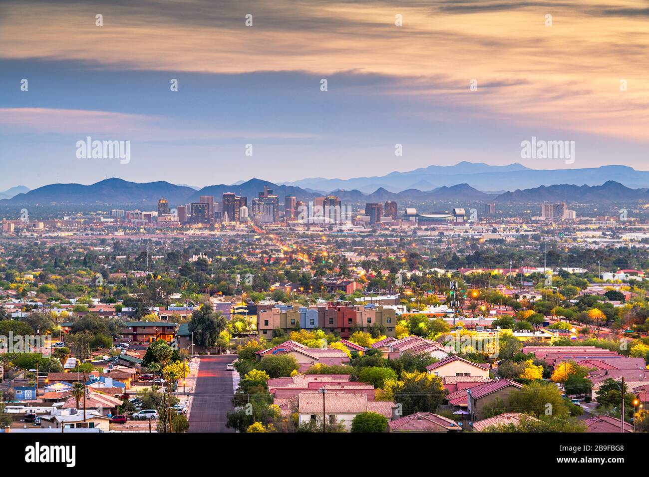 Phoenix, Arizona, USA downtown cityscape at dusk. Stock Photohttps://www.alamy.com/image-license-details/?v=1https://www.alamy.com/phoenix-arizona-usa-downtown-cityscape-at-dusk-image350077624.html
RF2B9FBG8–Phoenix, Arizona, USA downtown cityscape at dusk.
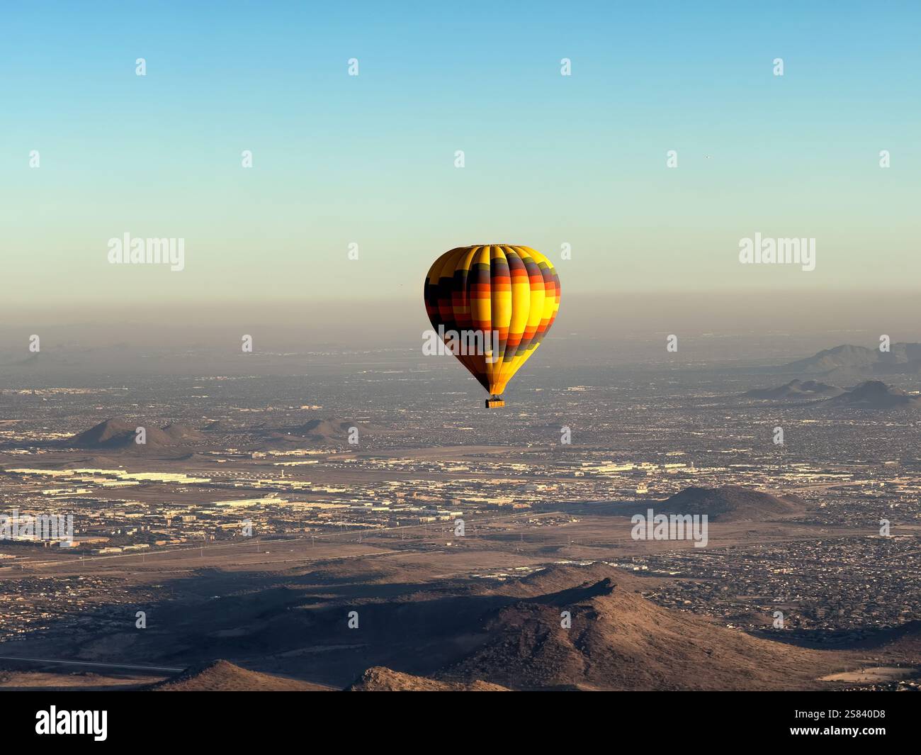 Aerial view of single hot air balloon in flight showing panoramic view of Phoenix Arizona during nice winter season day Stock Photohttps://www.alamy.com/image-license-details/?v=1https://www.alamy.com/aerial-view-of-single-hot-air-balloon-in-flight-showing-panoramic-view-of-phoenix-arizona-during-nice-winter-season-day-image641789044.html
RF2S840D8–Aerial view of single hot air balloon in flight showing panoramic view of Phoenix Arizona during nice winter season day
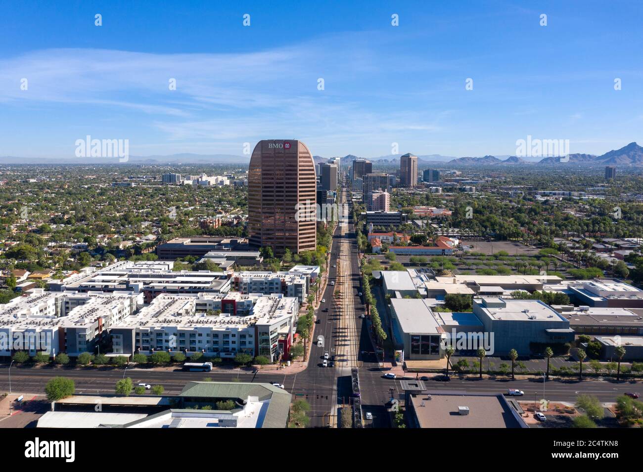 Aerial view up Central Avenue towards Midtown Phoenix and Heard Museum Stock Photohttps://www.alamy.com/image-license-details/?v=1https://www.alamy.com/aerial-view-up-central-avenue-towards-midtown-phoenix-and-heard-museum-image364418692.html
RF2C4TKN8–Aerial view up Central Avenue towards Midtown Phoenix and Heard Museum
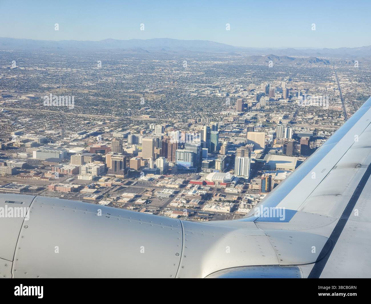 Aerial view of downtown Phoenix, Arizona. Stock Photohttps://www.alamy.com/image-license-details/?v=1https://www.alamy.com/aerial-view-of-downtown-phoenix-arizona-image678834905.html
RF3BCBGRN–Aerial view of downtown Phoenix, Arizona.
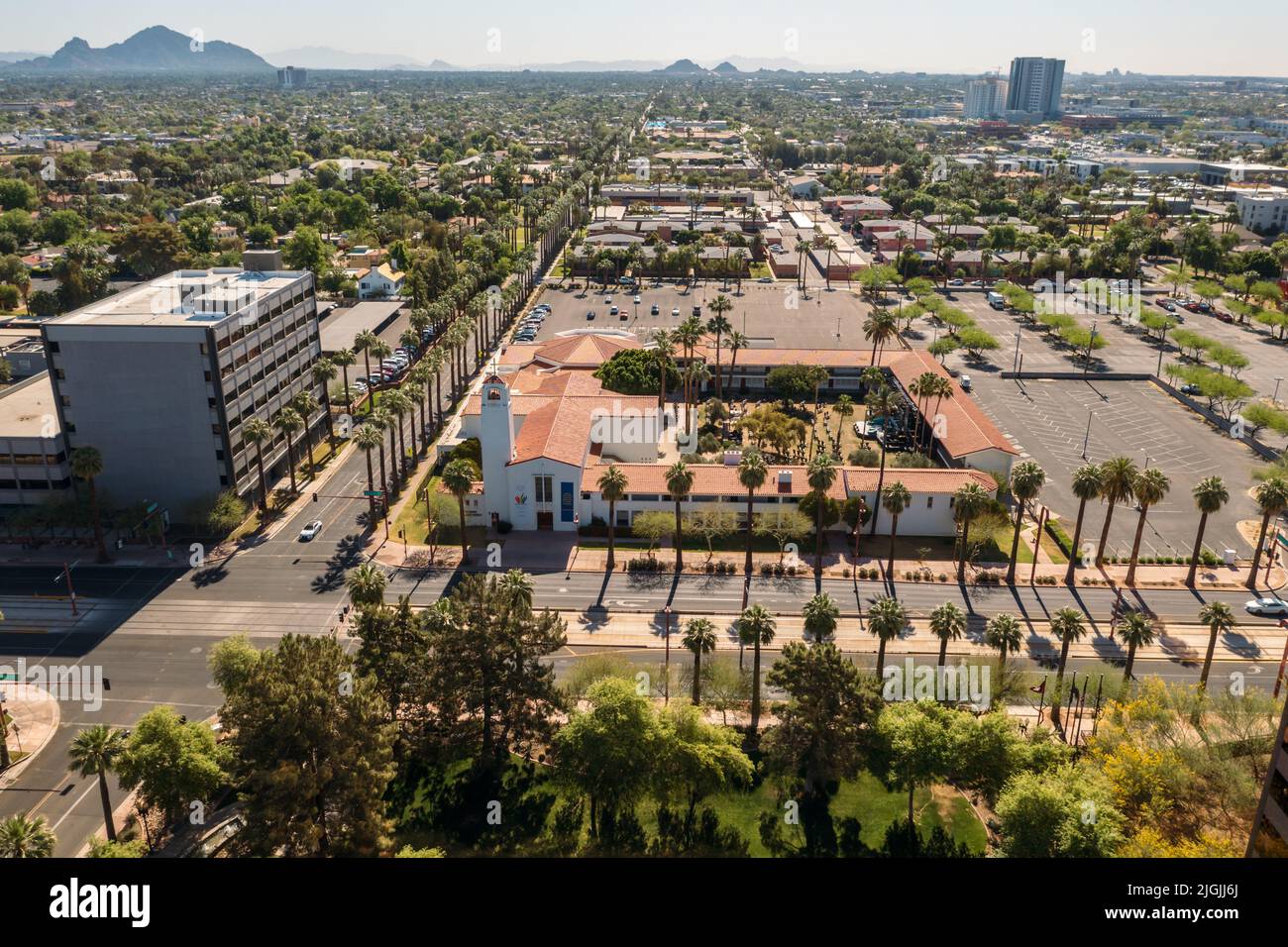 Aerial View Of Central United Methodist Church With Traffic In Foreground In Phoenix, Arizona Stock Photohttps://www.alamy.com/image-license-details/?v=1https://www.alamy.com/aerial-view-of-central-united-methodist-church-with-traffic-in-foreground-in-phoenix-arizona-image474923866.html
RF2JGJJ6J–Aerial View Of Central United Methodist Church With Traffic In Foreground In Phoenix, Arizona
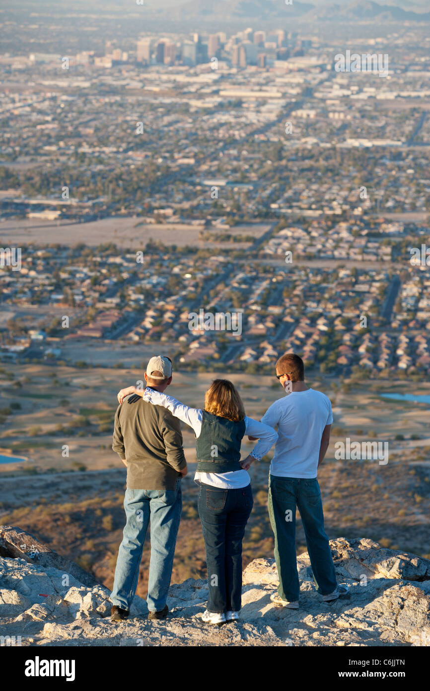 People looking at Phoenix from the South Mountain Park, Arizona, USA Stock Photohttps://www.alamy.com/image-license-details/?v=1https://www.alamy.com/stock-photo-people-looking-at-phoenix-from-the-south-mountain-park-arizona-usa-38518613.html
RMC6JJTN–People looking at Phoenix from the South Mountain Park, Arizona, USA
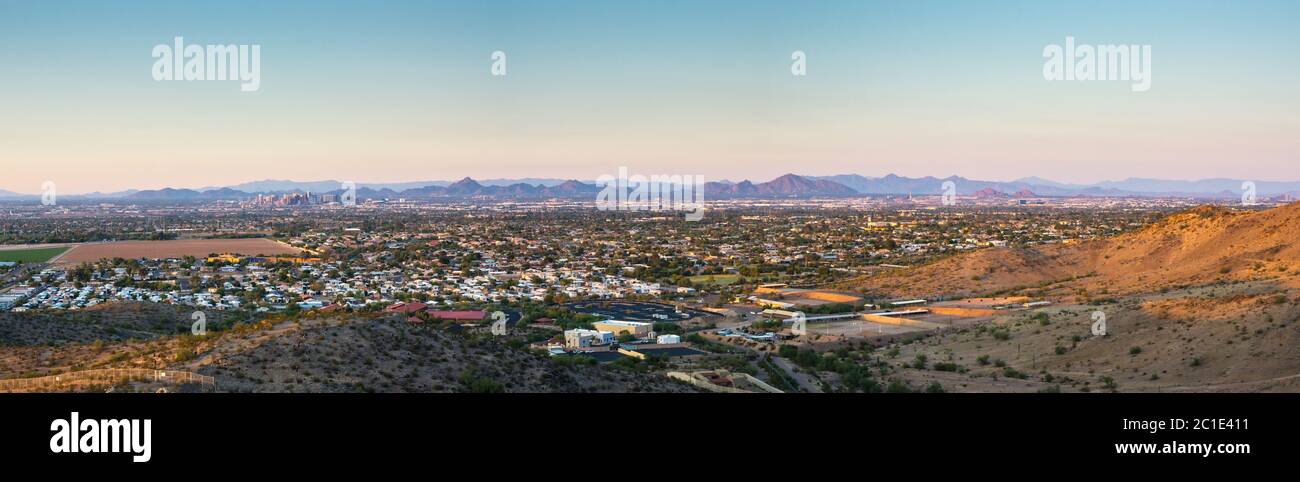 Phoenix Arizona Sunset Panorma Stock Photohttps://www.alamy.com/image-license-details/?v=1https://www.alamy.com/phoenix-arizona-sunset-panorma-image362342877.html
RF2C1E411–Phoenix Arizona Sunset Panorma
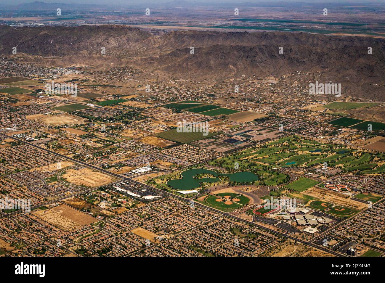 Aerial view of Phoenix and Phoenix South Mountain near the Sky Harbor Airport, in Phoenix, Arizona, United States Stock Photohttps://www.alamy.com/image-license-details/?v=1https://www.alamy.com/aerial-view-of-phoenix-and-phoenix-south-mountain-near-the-sky-harbor-airport-in-phoenix-arizona-united-states-image466330048.html
RF2J2K4MG–Aerial view of Phoenix and Phoenix South Mountain near the Sky Harbor Airport, in Phoenix, Arizona, United States
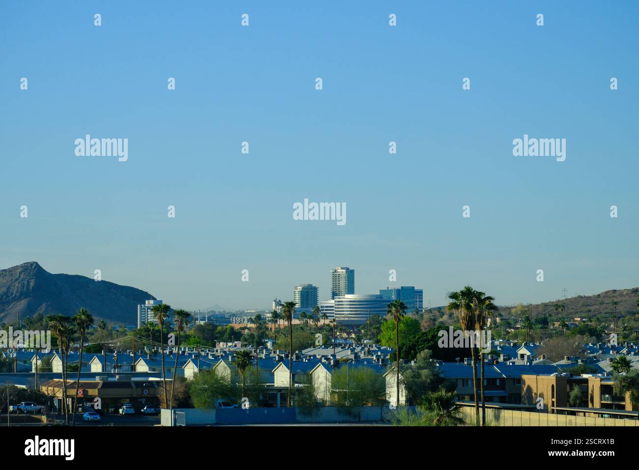 Scottsdale, AZ, USA - 20 JAN 2025 - A view over Scottsdale, Phoenix, Arizona showing the downtown urban sprawl and distant mountains. Stock Photohttps://www.alamy.com/image-license-details/?v=1https://www.alamy.com/scottsdale-az-usa-20-jan-2025-a-view-over-scottsdale-phoenix-arizona-showing-the-downtown-urban-sprawl-and-distant-mountains-image644684807.html
RF2SCRX1B–Scottsdale, AZ, USA - 20 JAN 2025 - A view over Scottsdale, Phoenix, Arizona showing the downtown urban sprawl and distant mountains.
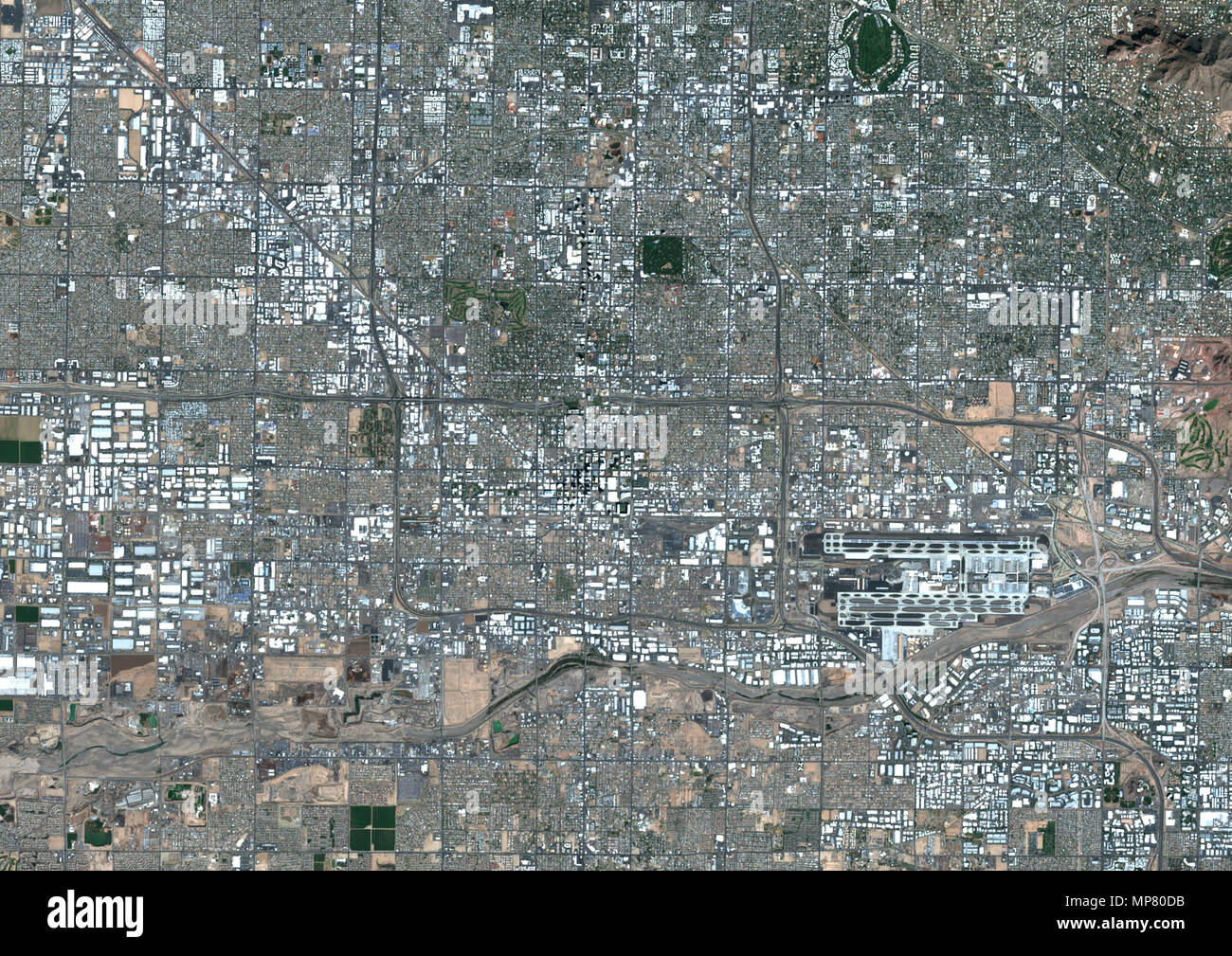 Phoenix, Arizona, United States Stock Photohttps://www.alamy.com/image-license-details/?v=1https://www.alamy.com/phoenix-arizona-united-states-image185802103.html
RMMP80DB–Phoenix, Arizona, United States
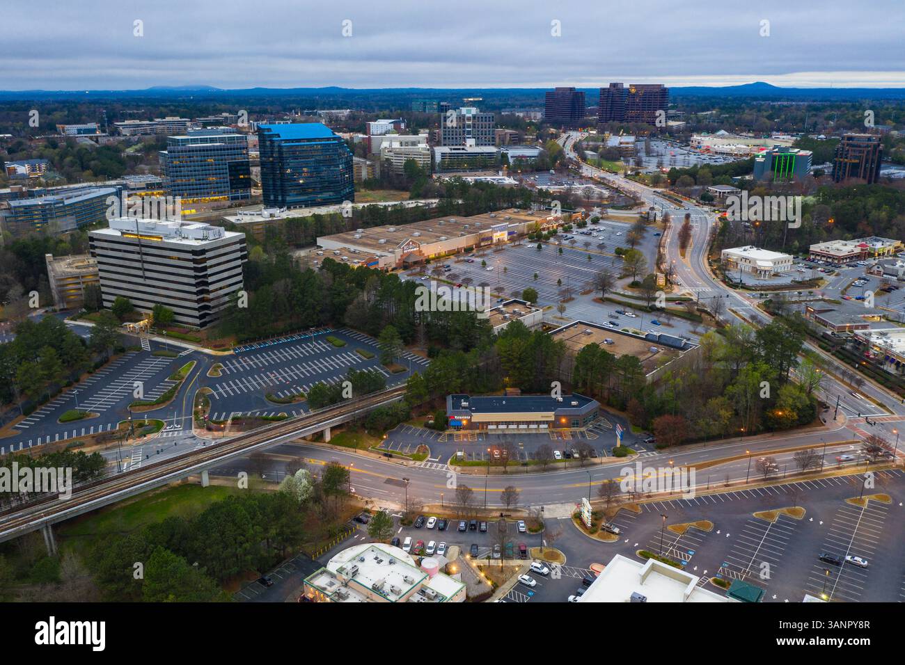 Aerial view of Phoenix residential district in Arizona, United States of America Stock Photohttps://www.alamy.com/image-license-details/?v=1https://www.alamy.com/aerial-view-of-phoenix-residential-district-in-arizona-united-states-of-america-image667406119.html
RF3ANPY8R–Aerial view of Phoenix residential district in Arizona, United States of America
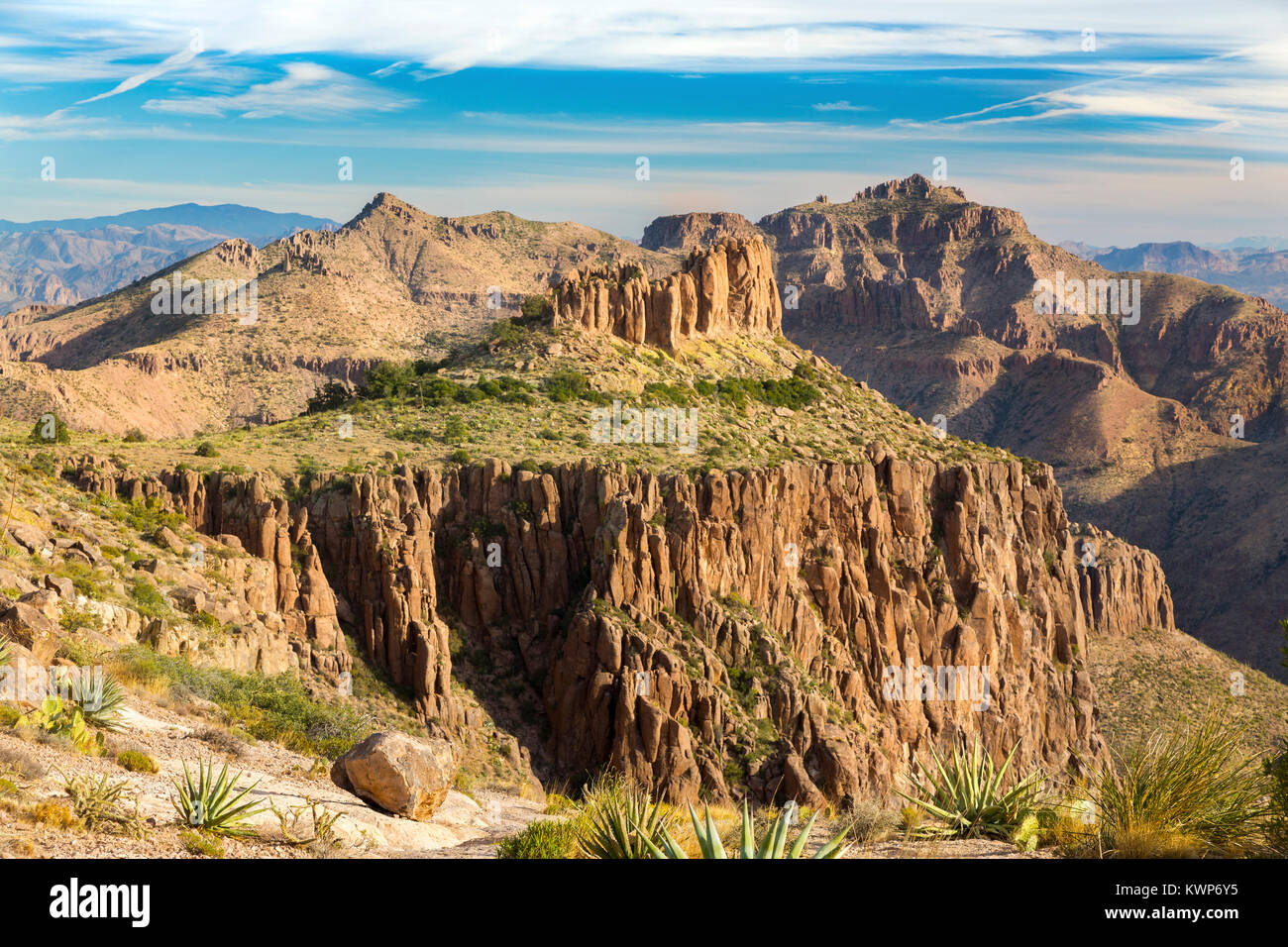 Superstition Mountains Scenic Landscape View above Apache Junction. Flatiron Peak Scenic Hiking, Lost Dutchman State Park Phoenix Arizona Blue Skyline Stock Photohttps://www.alamy.com/image-license-details/?v=1https://www.alamy.com/stock-photo-superstition-mountains-scenic-landscape-view-above-apache-junction-170748121.html
RFKWP6Y5–Superstition Mountains Scenic Landscape View above Apache Junction. Flatiron Peak Scenic Hiking, Lost Dutchman State Park Phoenix Arizona Blue Skyline
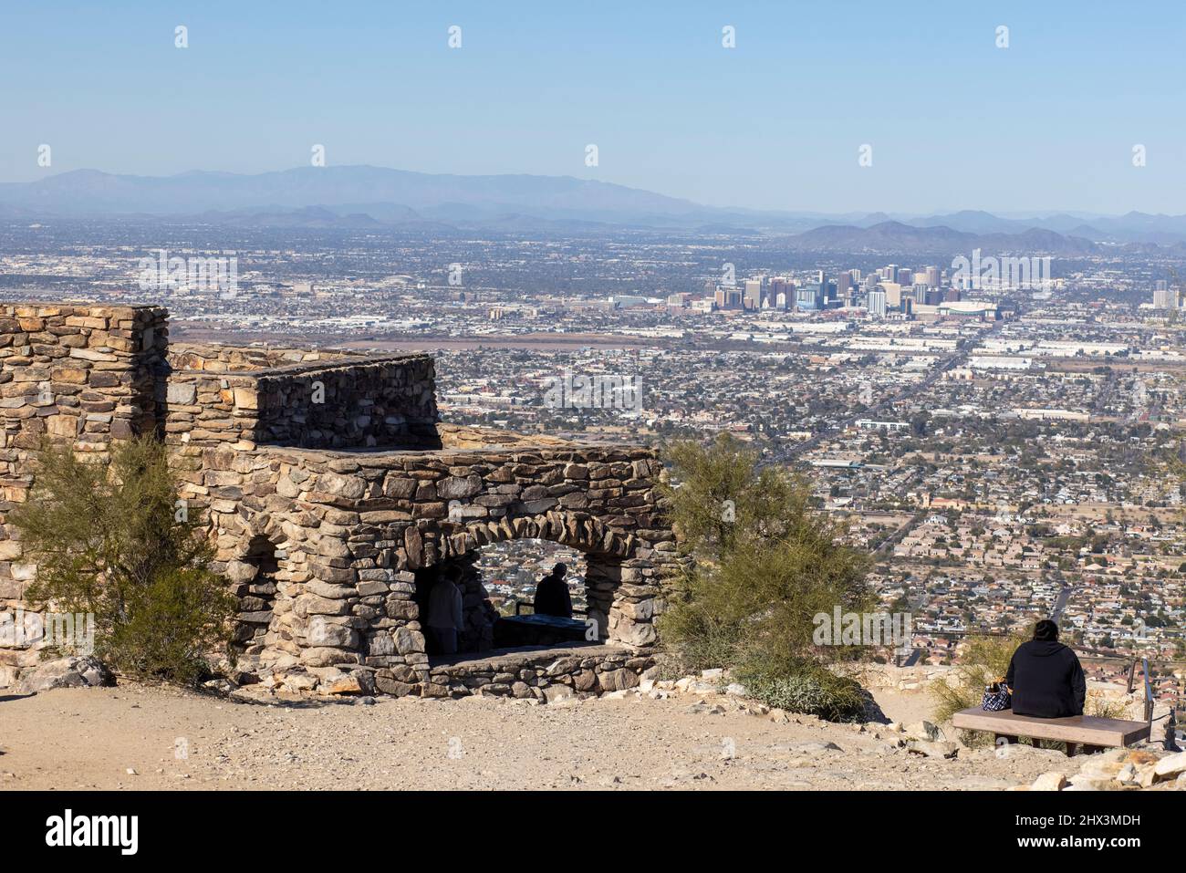 Dobbin's Lookout is perched atop Phoenix, Arizona's famed South Mountain Park, and provides sightseers with a phenomenal view of the city. Stock Photohttps://www.alamy.com/image-license-details/?v=1https://www.alamy.com/dobbins-lookout-is-perched-atop-phoenix-arizonas-famed-south-mountain-park-and-provides-sightseers-with-a-phenomenal-view-of-the-city-image463532541.html
RM2HX3MDH–Dobbin's Lookout is perched atop Phoenix, Arizona's famed South Mountain Park, and provides sightseers with a phenomenal view of the city.
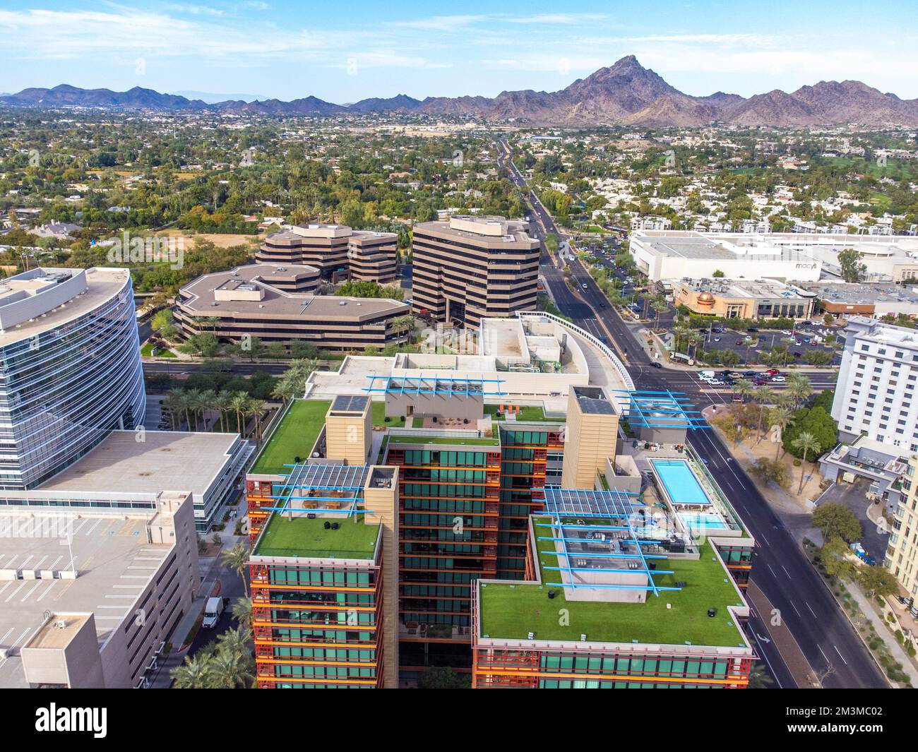 downtown phoenix Stock Photohttps://www.alamy.com/image-license-details/?v=1https://www.alamy.com/downtown-phoenix-image501393090.html
RF2M3MC02–downtown phoenix
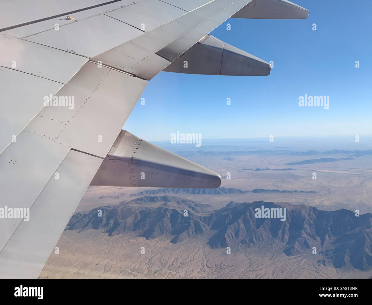 aerial view of Phoenix, Arizona South Mountain Park Reserve Stock Photohttps://www.alamy.com/image-license-details/?v=1https://www.alamy.com/aerial-view-of-phoenix-arizona-south-mountain-park-reserve-image332444051.html
RF2A8T3NR–aerial view of Phoenix, Arizona South Mountain Park Reserve
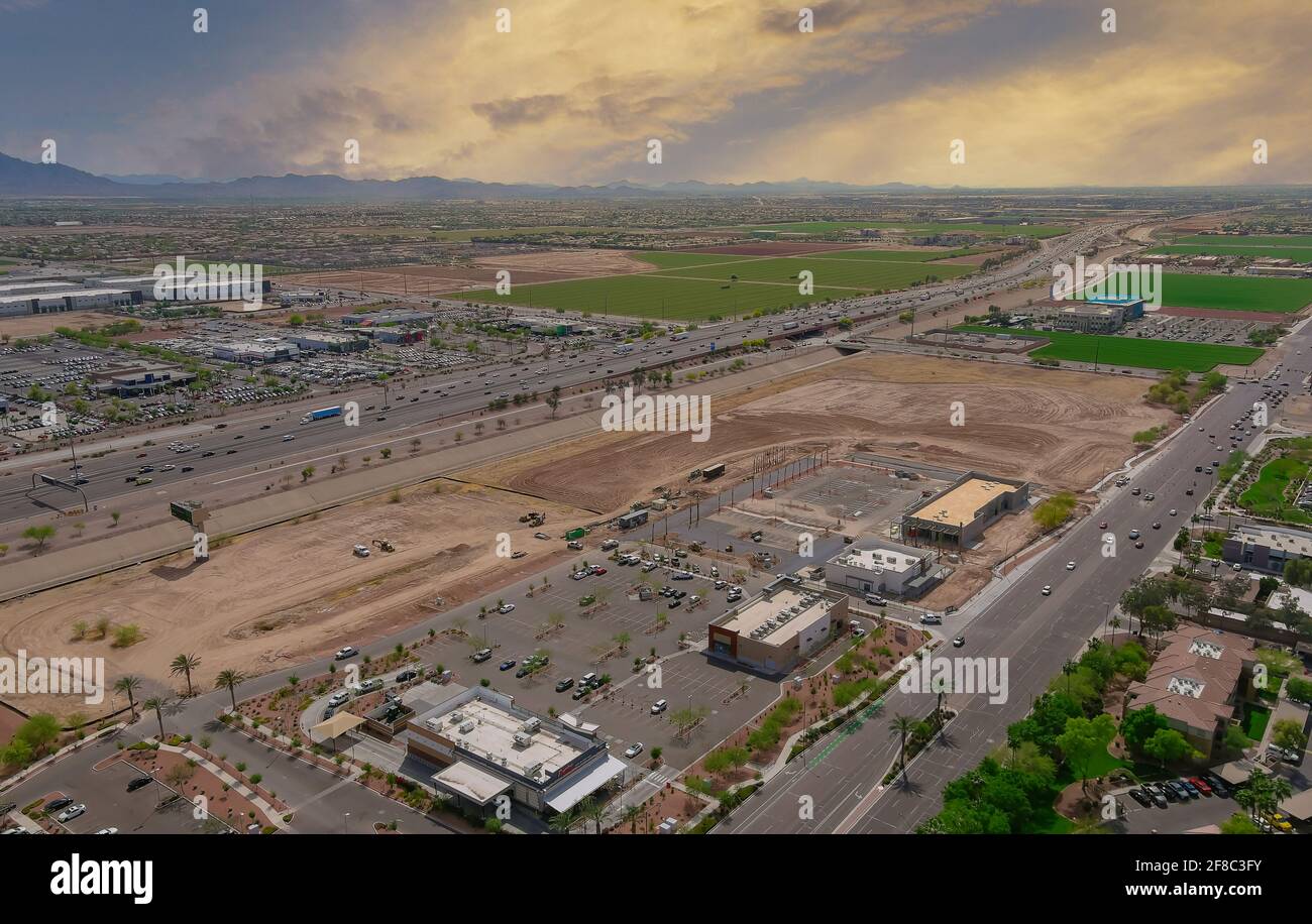 Aerial view of shopping district center and parking lot in Avondale small town a view overlooking desert near on of state capital Phoenix Arizona USA Stock Photohttps://www.alamy.com/image-license-details/?v=1https://www.alamy.com/aerial-view-of-shopping-district-center-and-parking-lot-in-avondale-small-town-a-view-overlooking-desert-near-on-of-state-capital-phoenix-arizona-usa-image418232303.html
RF2F8C3FY–Aerial view of shopping district center and parking lot in Avondale small town a view overlooking desert near on of state capital Phoenix Arizona USA
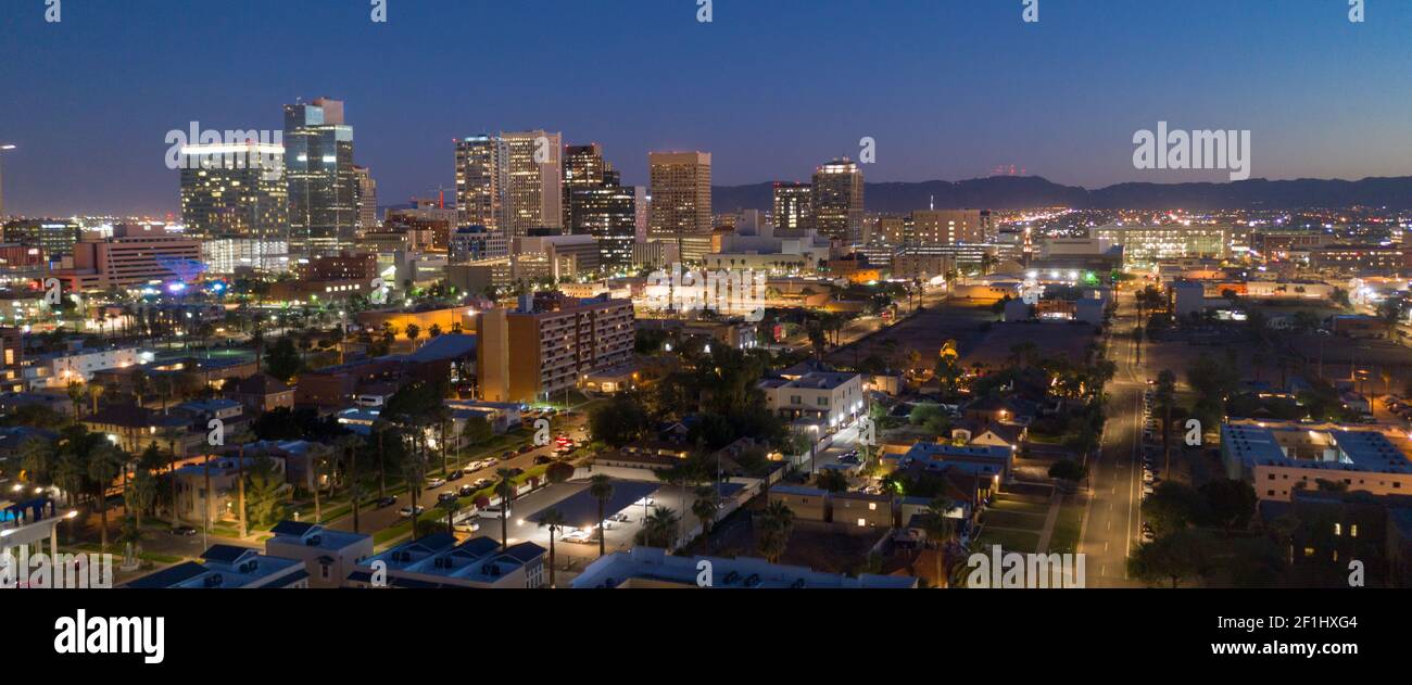 Aerial View Phoenix State Capital City of Arizona Downtown City Skyline Stock Photohttps://www.alamy.com/image-license-details/?v=1https://www.alamy.com/aerial-view-phoenix-state-capital-city-of-arizona-downtown-city-skyline-image414057508.html
RF2F1HXG4–Aerial View Phoenix State Capital City of Arizona Downtown City Skyline
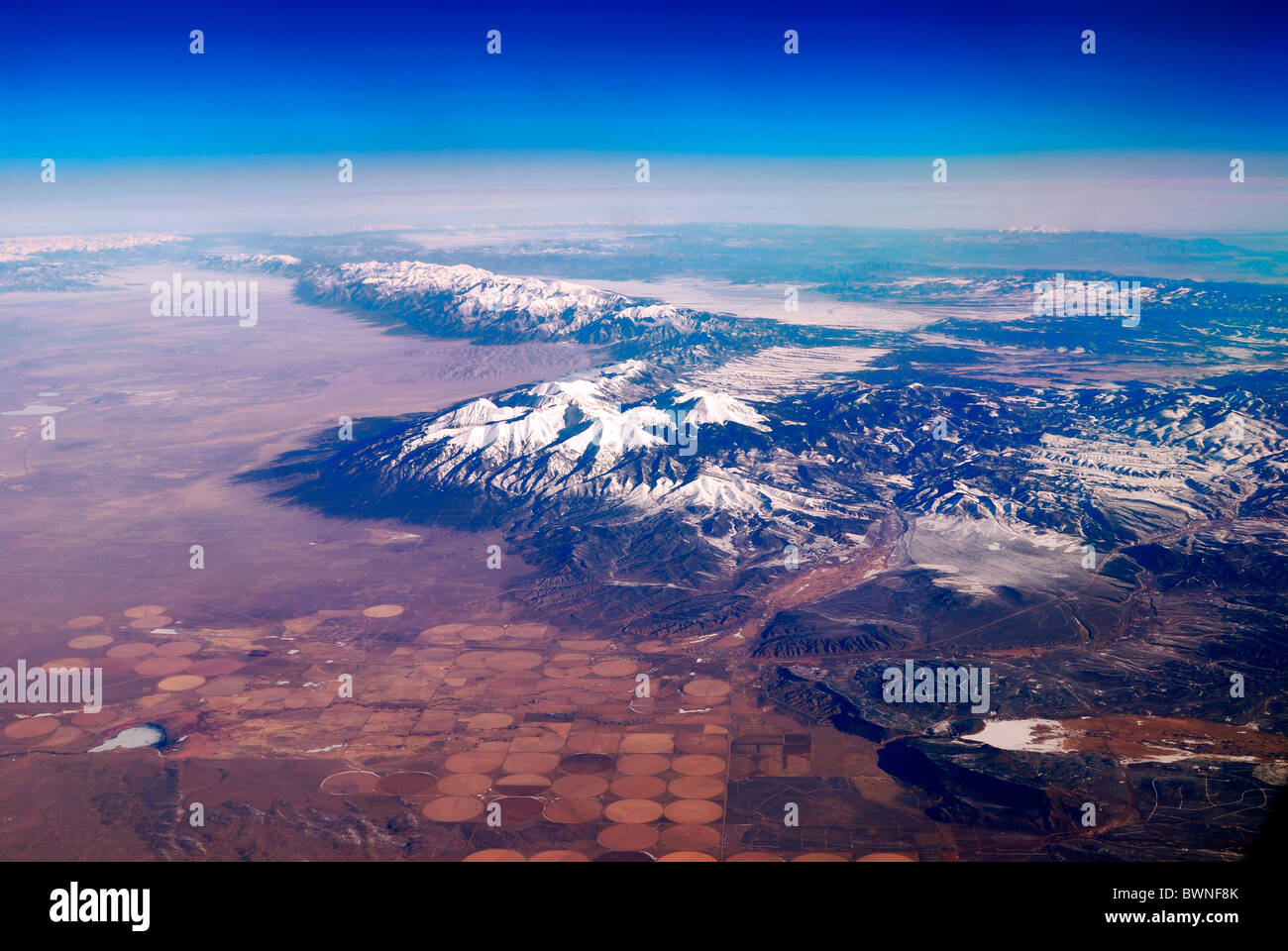 Snow Mountain Aerial View. Photo taken from airplane near Phoenix, Arizona. Stock Photohttps://www.alamy.com/image-license-details/?v=1https://www.alamy.com/stock-photo-snow-mountain-aerial-view-photo-taken-from-airplane-near-phoenix-arizona-33049763.html
RFBWNF8K–Snow Mountain Aerial View. Photo taken from airplane near Phoenix, Arizona.
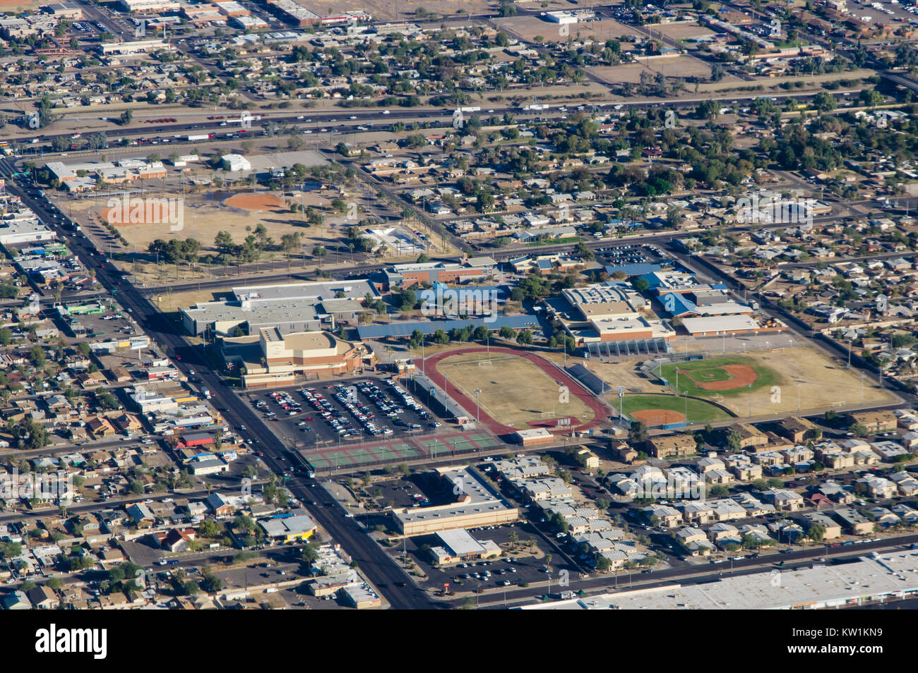 Aerial view of Carl Hayden Community High School in Phoenix, Arizona Stock Photohttps://www.alamy.com/image-license-details/?v=1https://www.alamy.com/stock-photo-aerial-view-of-carl-hayden-community-high-school-in-phoenix-arizona-170297157.html
RMKW1KN9–Aerial view of Carl Hayden Community High School in Phoenix, Arizona
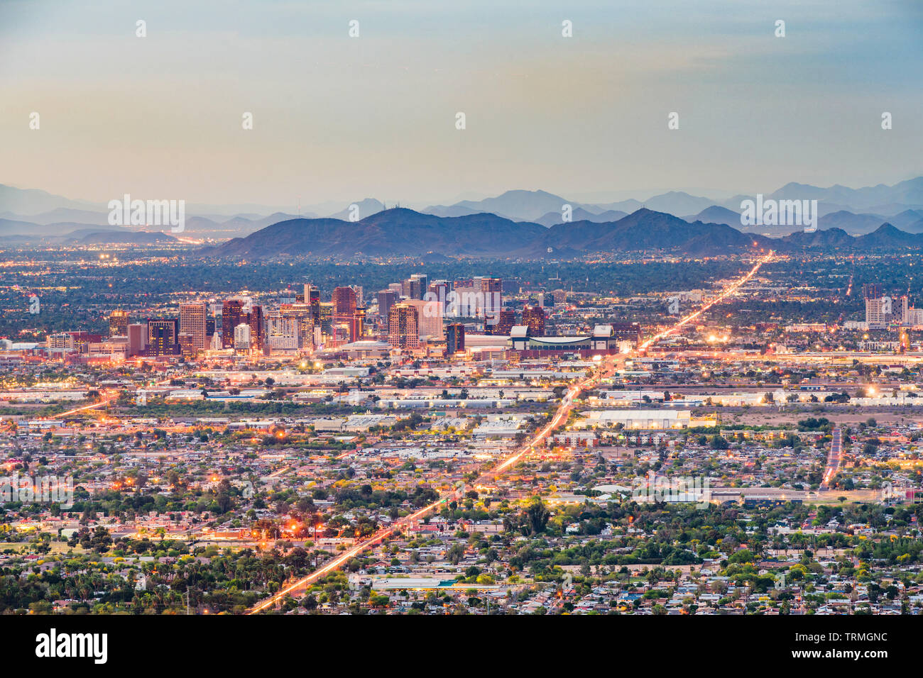 Phoenix, Arizona, USA downtown cityscape from above at dusk. Stock Photohttps://www.alamy.com/image-license-details/?v=1https://www.alamy.com/phoenix-arizona-usa-downtown-cityscape-from-above-at-dusk-image255534424.html
RFTRMGNC–Phoenix, Arizona, USA downtown cityscape from above at dusk.
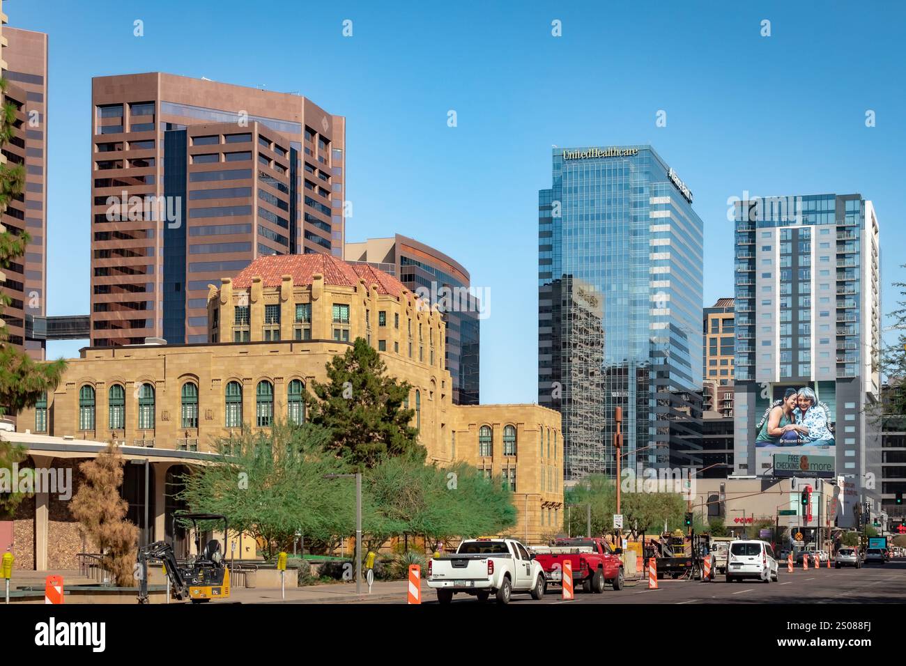 City buildings located in Downtown Phoenix Arizona. Photo taken on a clear blue sky day Stock Photohttps://www.alamy.com/image-license-details/?v=1https://www.alamy.com/city-buildings-located-in-downtown-phoenix-arizona-photo-taken-on-a-clear-blue-sky-day-image636965942.html
RF2S088FJ–City buildings located in Downtown Phoenix Arizona. Photo taken on a clear blue sky day
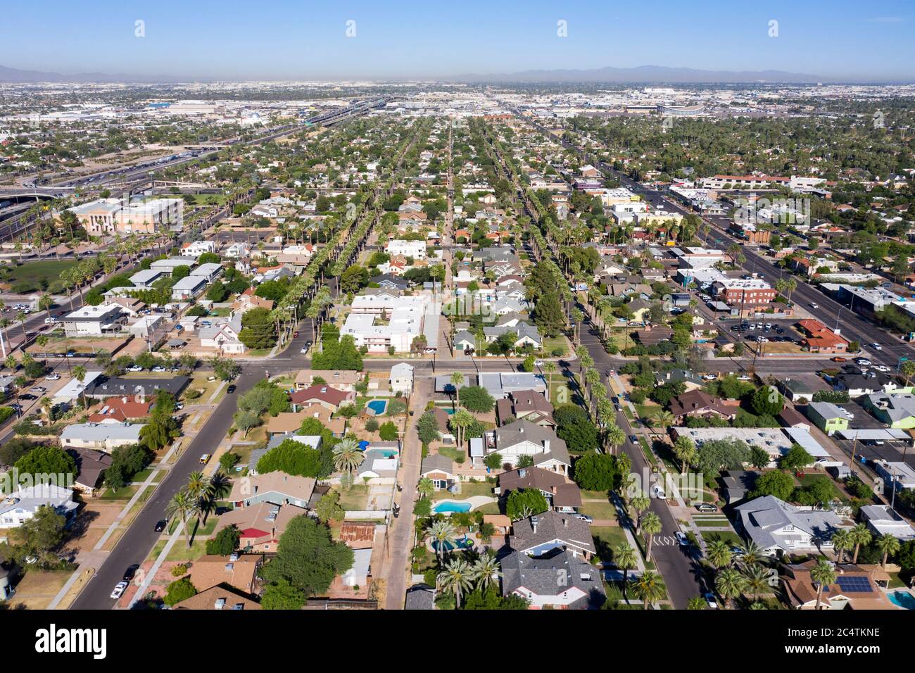 Aerial view of the historic Story neighborhood in central Phoenix, Arizona Stock Photohttps://www.alamy.com/image-license-details/?v=1https://www.alamy.com/aerial-view-of-the-historic-story-neighborhood-in-central-phoenix-arizona-image364418698.html
RF2C4TKNE–Aerial view of the historic Story neighborhood in central Phoenix, Arizona
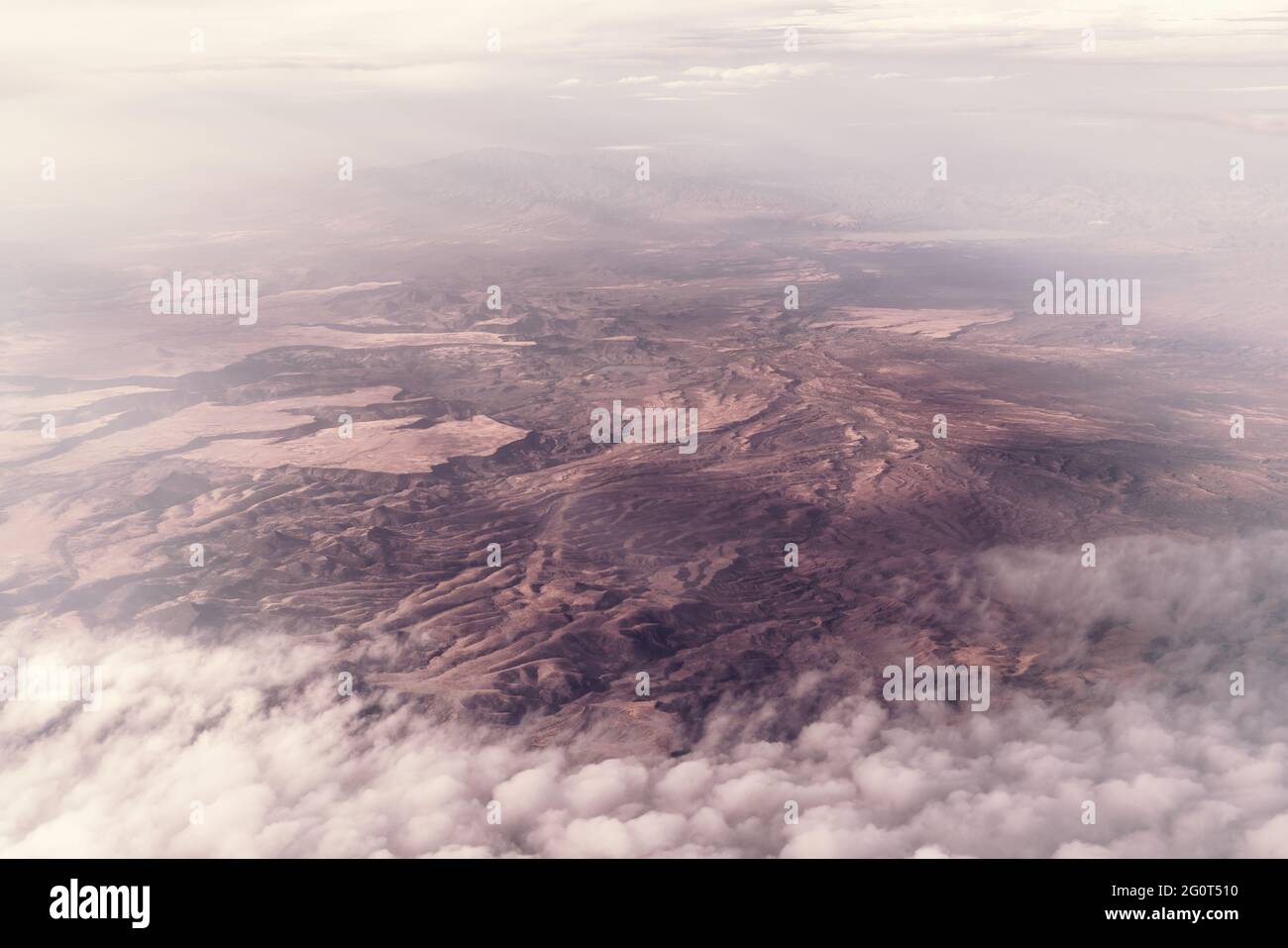 Aerial view of the Arizona desert. Clouds over the mountains near San Carlos, San Carlos Apache Indian Reservation, Gila County, AZ, USA. Stock Photohttps://www.alamy.com/image-license-details/?v=1https://www.alamy.com/aerial-view-of-the-arizona-desert-clouds-over-the-mountains-near-san-carlos-san-carlos-apache-indian-reservation-gila-county-az-usa-image430789996.html
RF2G0T510–Aerial view of the Arizona desert. Clouds over the mountains near San Carlos, San Carlos Apache Indian Reservation, Gila County, AZ, USA.
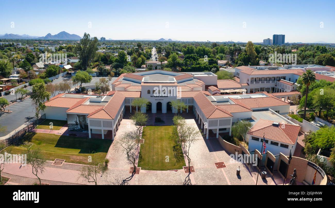 Aerial View Of Garden Of Heard Museum In Phoenix, Arizona Stock Photohttps://www.alamy.com/image-license-details/?v=1https://www.alamy.com/aerial-view-of-garden-of-heard-museum-in-phoenix-arizona-image474923509.html
RF2JGJHNW–Aerial View Of Garden Of Heard Museum In Phoenix, Arizona
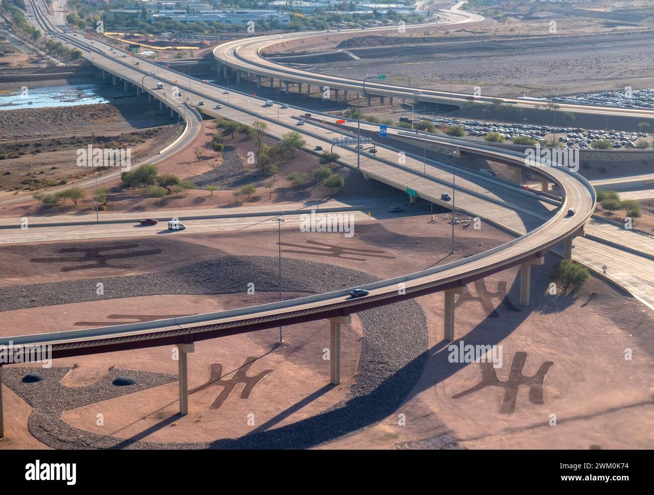 Aerial view of Arizona road and highways near Phoenix, Arizona, USA Stock Photohttps://www.alamy.com/image-license-details/?v=1https://www.alamy.com/aerial-view-of-arizona-road-and-highways-near-phoenix-arizona-usa-image597460728.html
RM2WM0K74–Aerial view of Arizona road and highways near Phoenix, Arizona, USA
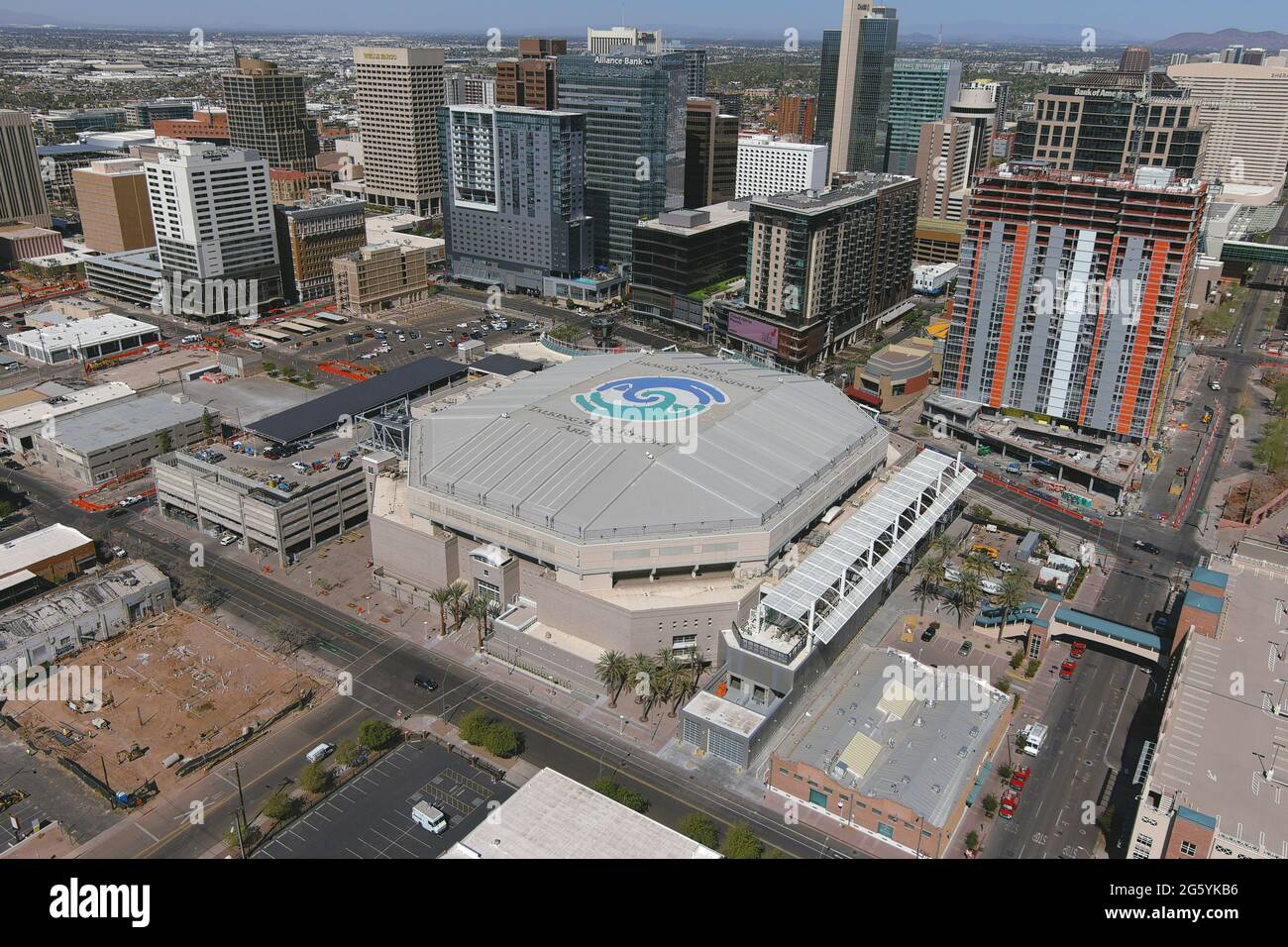 An aerial view of Phoenix Suns Arena, Tuesday, March 2, 2021, in Phoenix. Stock Photohttps://www.alamy.com/image-license-details/?v=1https://www.alamy.com/an-aerial-view-of-phoenix-suns-arena-tuesday-march-2-2021-in-phoenix-image433940394.html
RM2G5YKB6–An aerial view of Phoenix Suns Arena, Tuesday, March 2, 2021, in Phoenix.
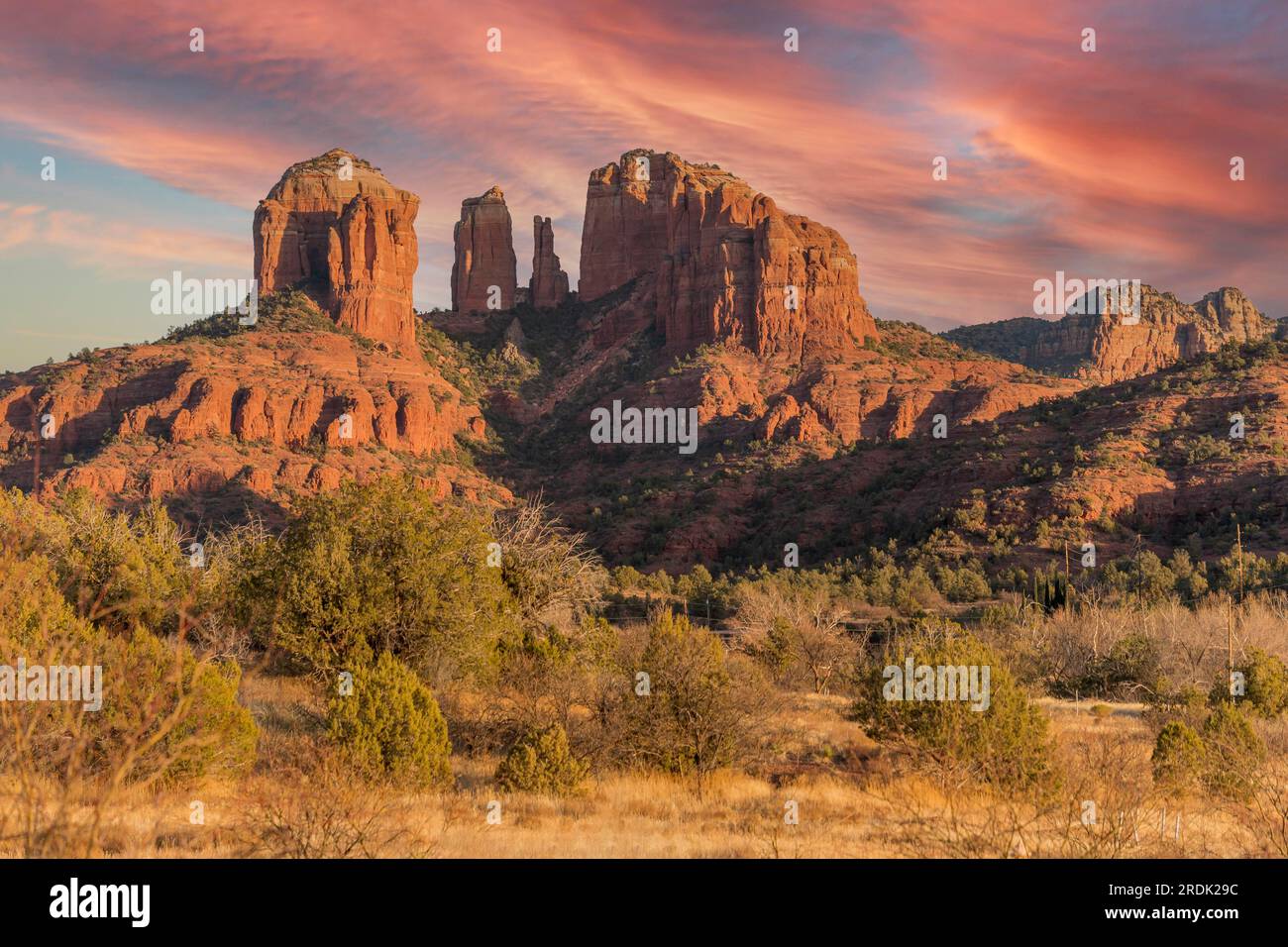 Rock formations in the American Southwest Stock Photohttps://www.alamy.com/image-license-details/?v=1https://www.alamy.com/rock-formations-in-the-american-southwest-image559141224.html
RF2RDK29C–Rock formations in the American Southwest
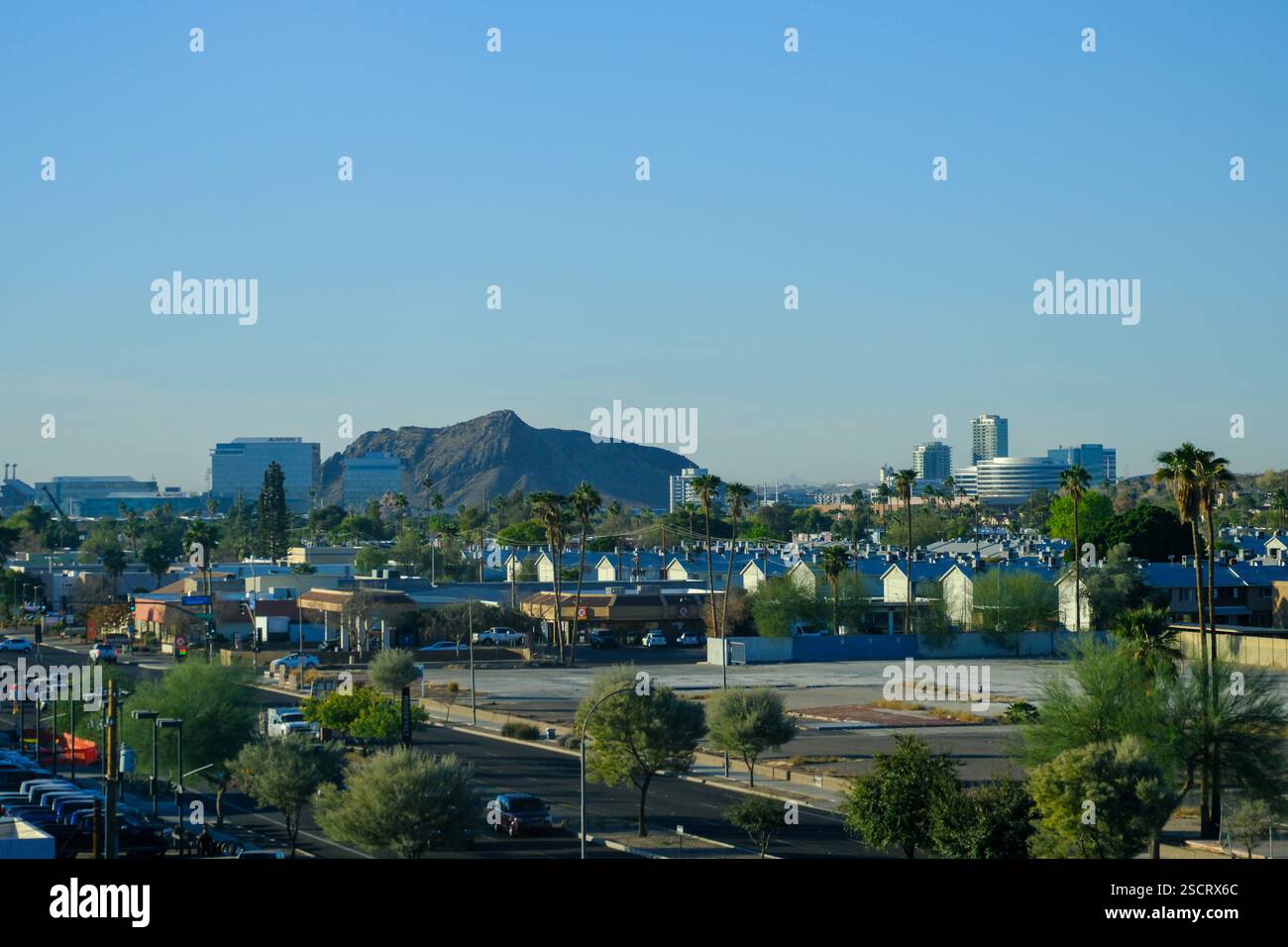 Scottsdale, AZ, USA - 20 JAN 2025 - A view over Scottsdale, Phoenix, Arizona showing the downtown urban sprawl and distant mountains. Stock Photohttps://www.alamy.com/image-license-details/?v=1https://www.alamy.com/scottsdale-az-usa-20-jan-2025-a-view-over-scottsdale-phoenix-arizona-showing-the-downtown-urban-sprawl-and-distant-mountains-image644684948.html
RF2SCRX6C–Scottsdale, AZ, USA - 20 JAN 2025 - A view over Scottsdale, Phoenix, Arizona showing the downtown urban sprawl and distant mountains.
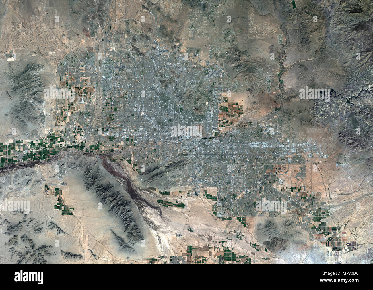 Phoenix, Arizona, United States Stock Photohttps://www.alamy.com/image-license-details/?v=1https://www.alamy.com/phoenix-arizona-united-states-image185802104.html
RMMP80DC–Phoenix, Arizona, United States
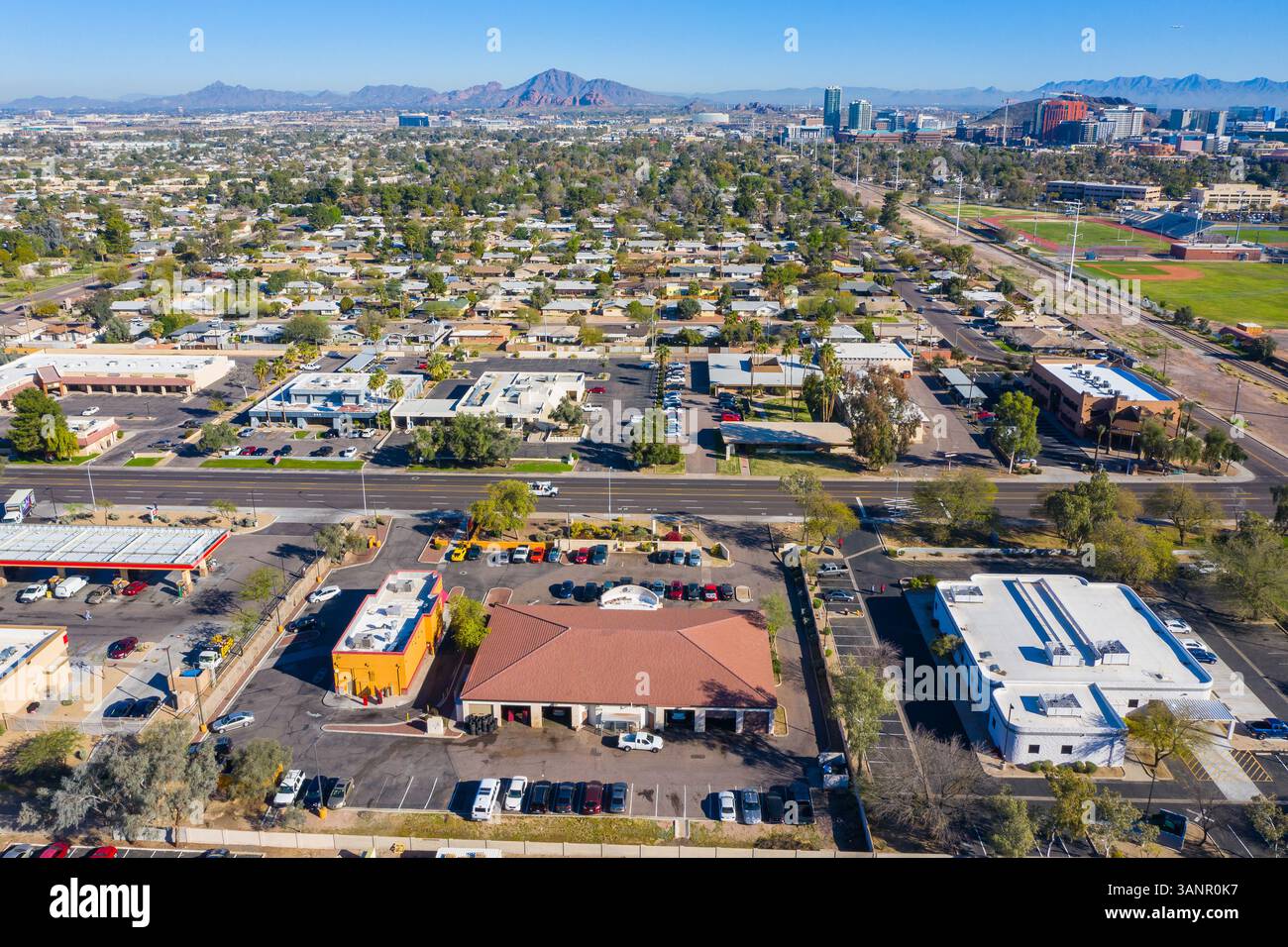 Aerial view of Phoenix residential district in Arizona, United States of America Stock Photohttps://www.alamy.com/image-license-details/?v=1https://www.alamy.com/aerial-view-of-phoenix-residential-district-in-arizona-united-states-of-america-image667407195.html
RF3ANR0K7–Aerial view of Phoenix residential district in Arizona, United States of America
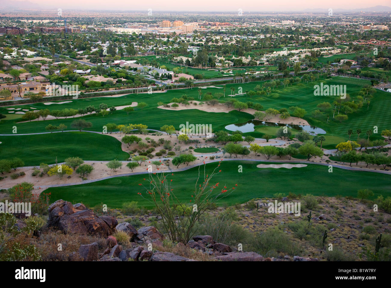 The golf course at the Phoenician from Camelback Mountain Phoenix Arizona Stock Photohttps://www.alamy.com/image-license-details/?v=1https://www.alamy.com/stock-photo-the-golf-course-at-the-phoenician-from-camelback-mountain-phoenix-18379983.html
RMB1W7RY–The golf course at the Phoenician from Camelback Mountain Phoenix Arizona
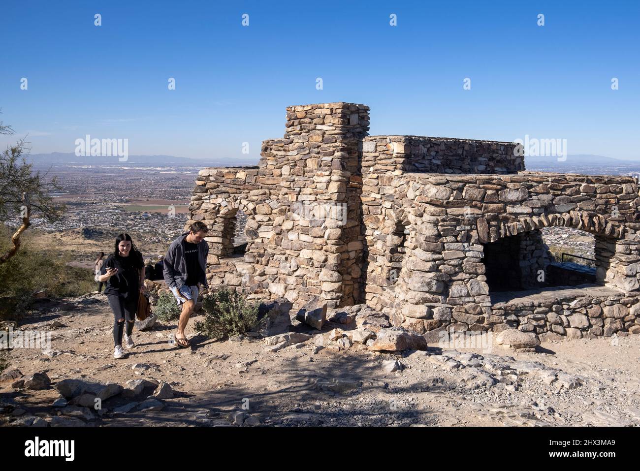 Dobbin's Lookout is perched atop Phoenix, Arizona's famed South Mountain Park, and provides sightseers with a phenomenal view of the city. Stock Photohttps://www.alamy.com/image-license-details/?v=1https://www.alamy.com/dobbins-lookout-is-perched-atop-phoenix-arizonas-famed-south-mountain-park-and-provides-sightseers-with-a-phenomenal-view-of-the-city-image463532449.html
RM2HX3MA9–Dobbin's Lookout is perched atop Phoenix, Arizona's famed South Mountain Park, and provides sightseers with a phenomenal view of the city.
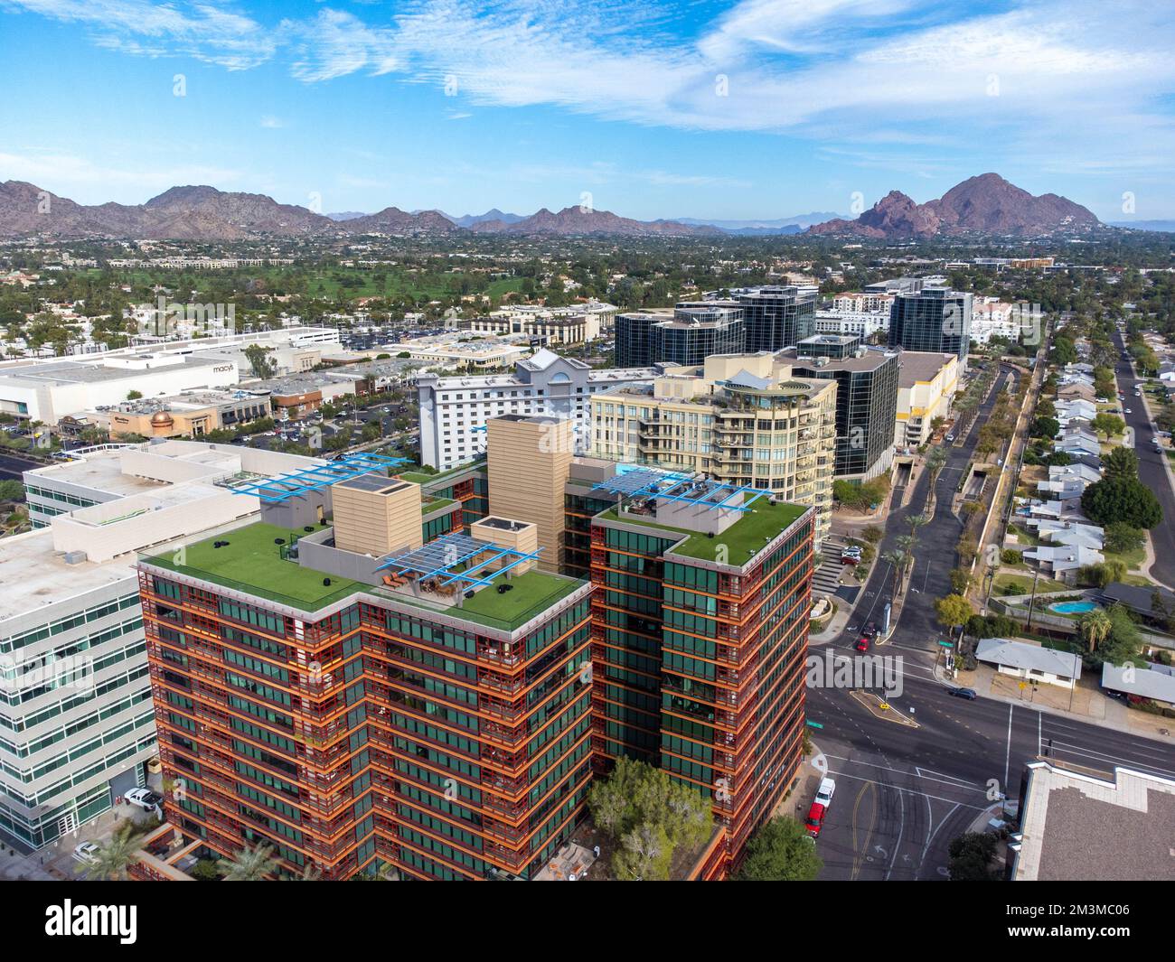 downtown phoenix Stock Photohttps://www.alamy.com/image-license-details/?v=1https://www.alamy.com/downtown-phoenix-image501393094.html
RF2M3MC06–downtown phoenix
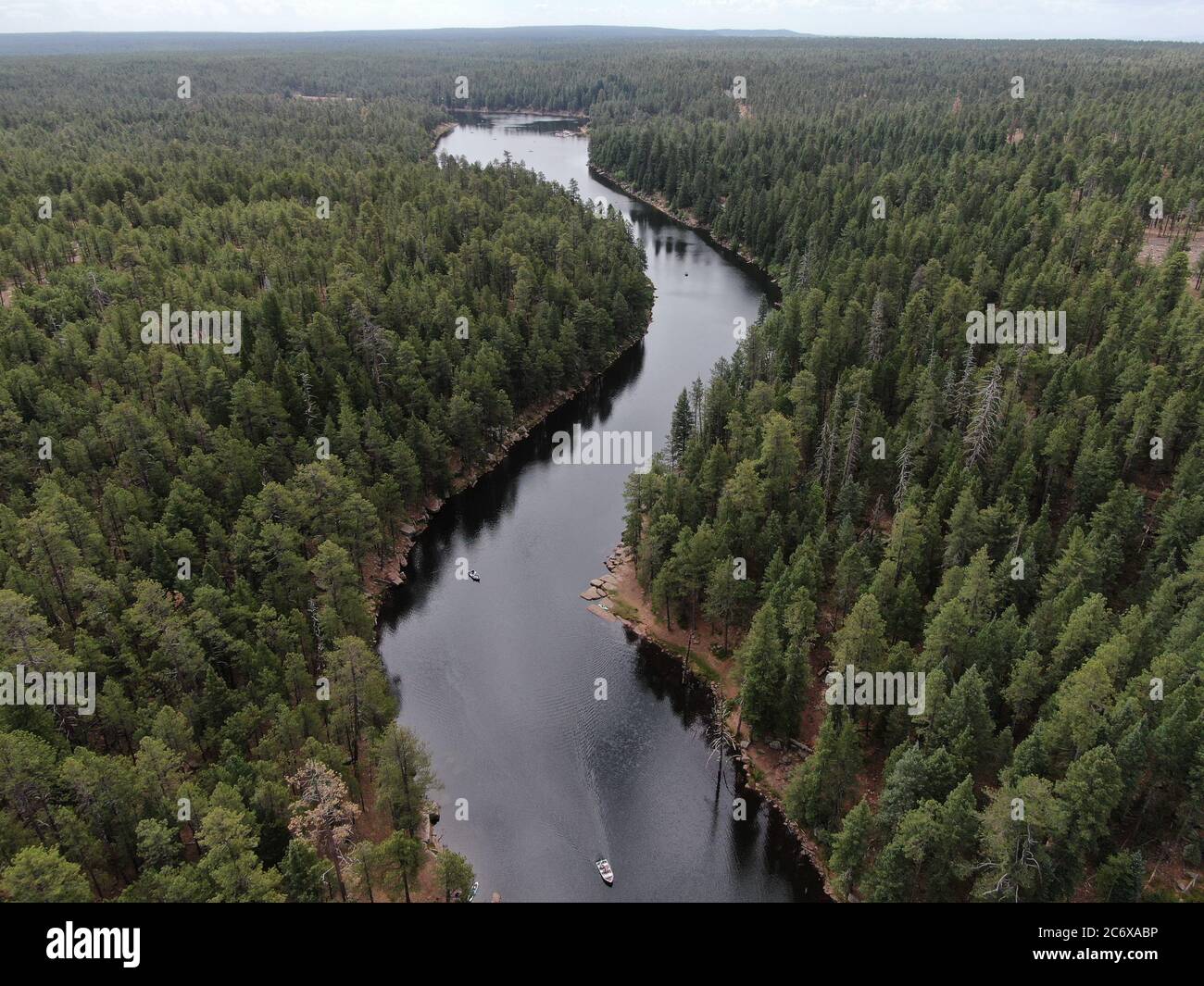 Woods Canyon Lake, along the Mogollon Rim in Northern Arizona. A popular summer destination to escape the heat of Phoenix. Stock Photohttps://www.alamy.com/image-license-details/?v=1https://www.alamy.com/woods-canyon-lake-along-the-mogollon-rim-in-northern-arizona-a-popular-summer-destination-to-escape-the-heat-of-phoenix-image365684586.html
RF2C6XABP–Woods Canyon Lake, along the Mogollon Rim in Northern Arizona. A popular summer destination to escape the heat of Phoenix.
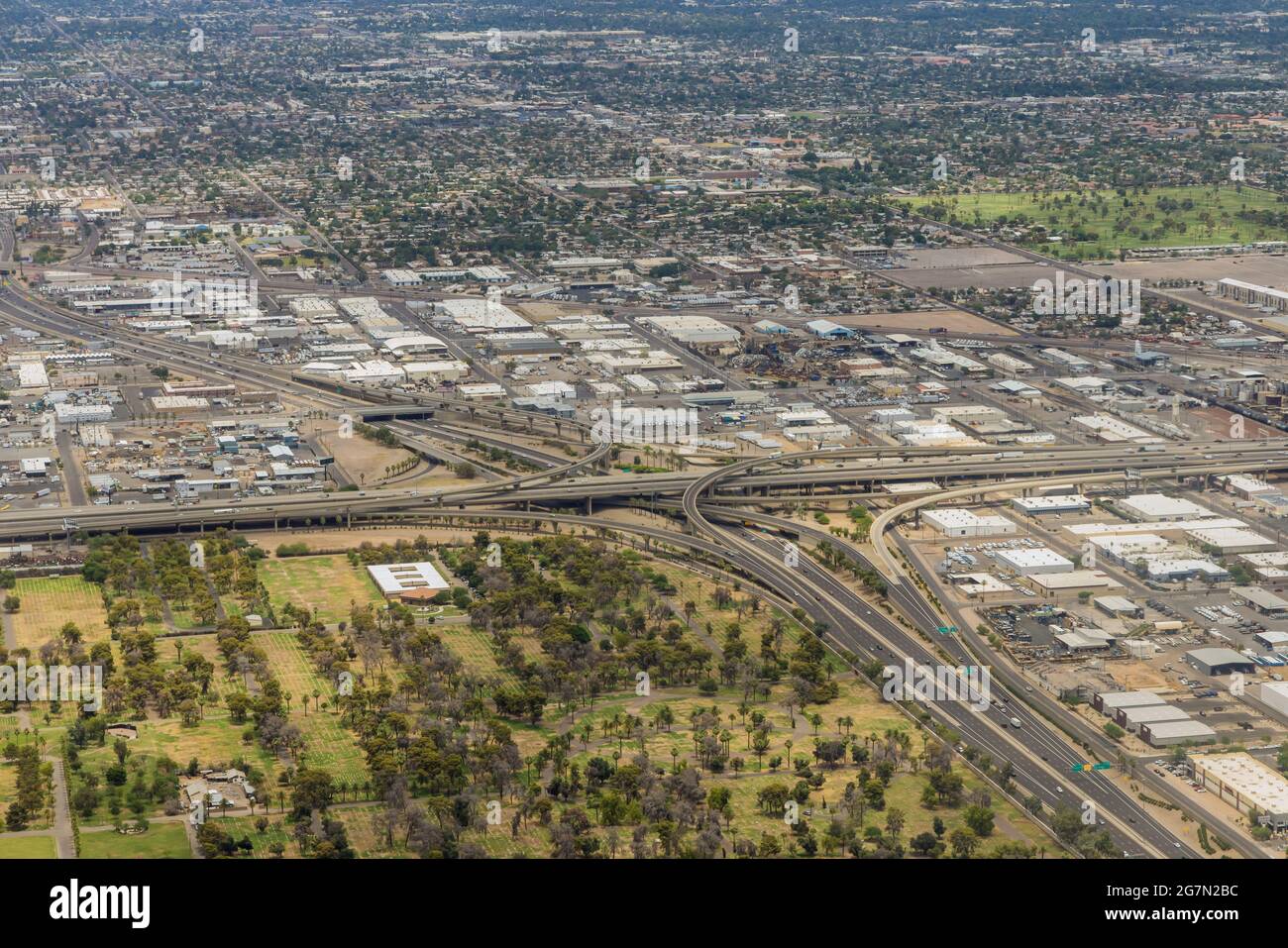 Aerial view of the Mini Stack Interchange in Phoenix, Arizona Stock Photohttps://www.alamy.com/image-license-details/?v=1https://www.alamy.com/aerial-view-of-the-mini-stack-interchange-in-phoenix-arizona-image435024672.html
RF2G7N2BC–Aerial view of the Mini Stack Interchange in Phoenix, Arizona
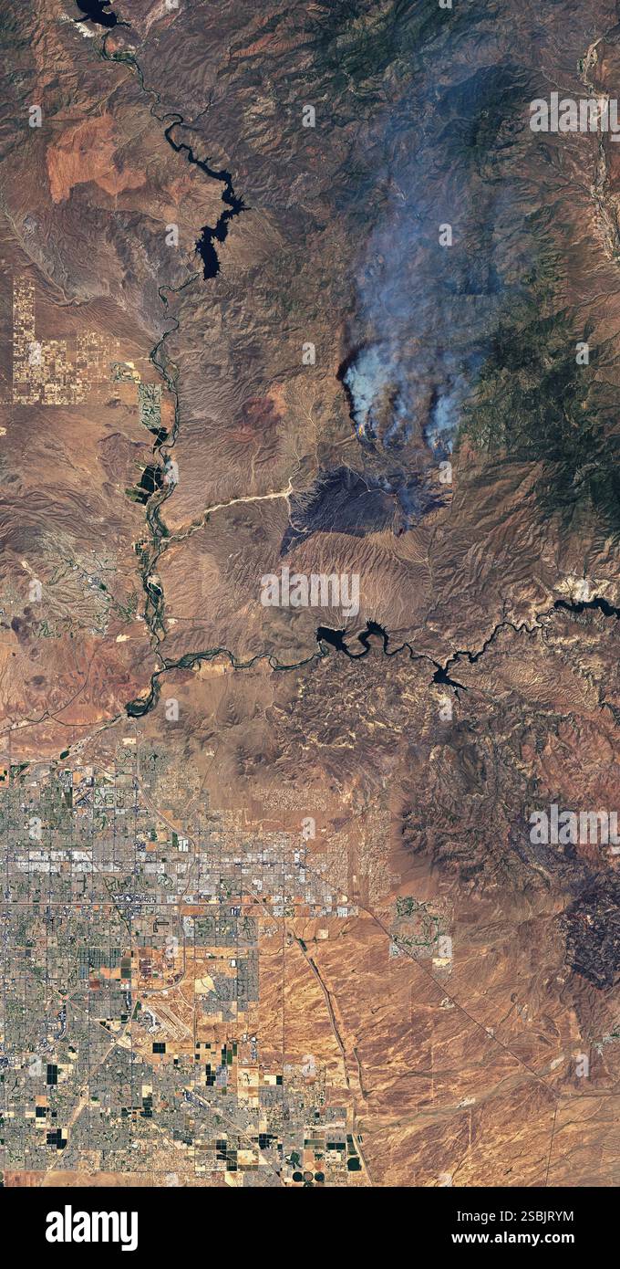 On the afternoon of June 13, 2020, a vehicle fire northeast of Phoenix, Arizona ignited nearby brush and grass. By June 16, nearly 65,000 acres (100 square miles) had burned. The fire was not fully contained until July 6, 2020. It burned a total of 193,455 acres (over 300 square miles). This Landsat 8 satellite image shows the Bush Fire burn scar and some active fire fronts as they appeared on June 14, 2020. Stock Photohttps://www.alamy.com/image-license-details/?v=1https://www.alamy.com/on-the-afternoon-of-june-13-2020-a-vehicle-fire-northeast-of-phoenix-arizona-ignited-nearby-brush-and-grass-by-june-16-nearly-65000-acres-100-square-miles-had-burned-the-fire-was-not-fully-contained-until-july-6-2020-it-burned-a-total-of-193455-acres-over-300-square-miles-this-landsat-8-satellite-image-shows-the-bush-fire-burn-scar-and-some-active-fire-fronts-as-they-appeared-on-june-14-2020-image643958776.html
RM2SBJRYM–On the afternoon of June 13, 2020, a vehicle fire northeast of Phoenix, Arizona ignited nearby brush and grass. By June 16, nearly 65,000 acres (100 square miles) had burned. The fire was not fully contained until July 6, 2020. It burned a total of 193,455 acres (over 300 square miles). This Landsat 8 satellite image shows the Bush Fire burn scar and some active fire fronts as they appeared on June 14, 2020.
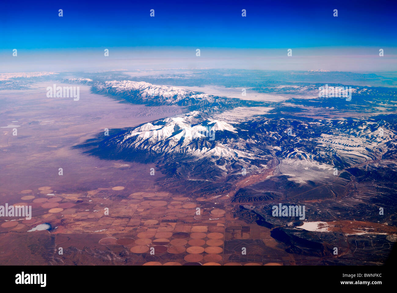 Snow Mountain Aerial View. Photo taken from airplane near Phoenix, Arizona. Stock Photohttps://www.alamy.com/image-license-details/?v=1https://www.alamy.com/stock-photo-snow-mountain-aerial-view-photo-taken-from-airplane-near-phoenix-arizona-33050064.html
RFBWNFKC–Snow Mountain Aerial View. Photo taken from airplane near Phoenix, Arizona.
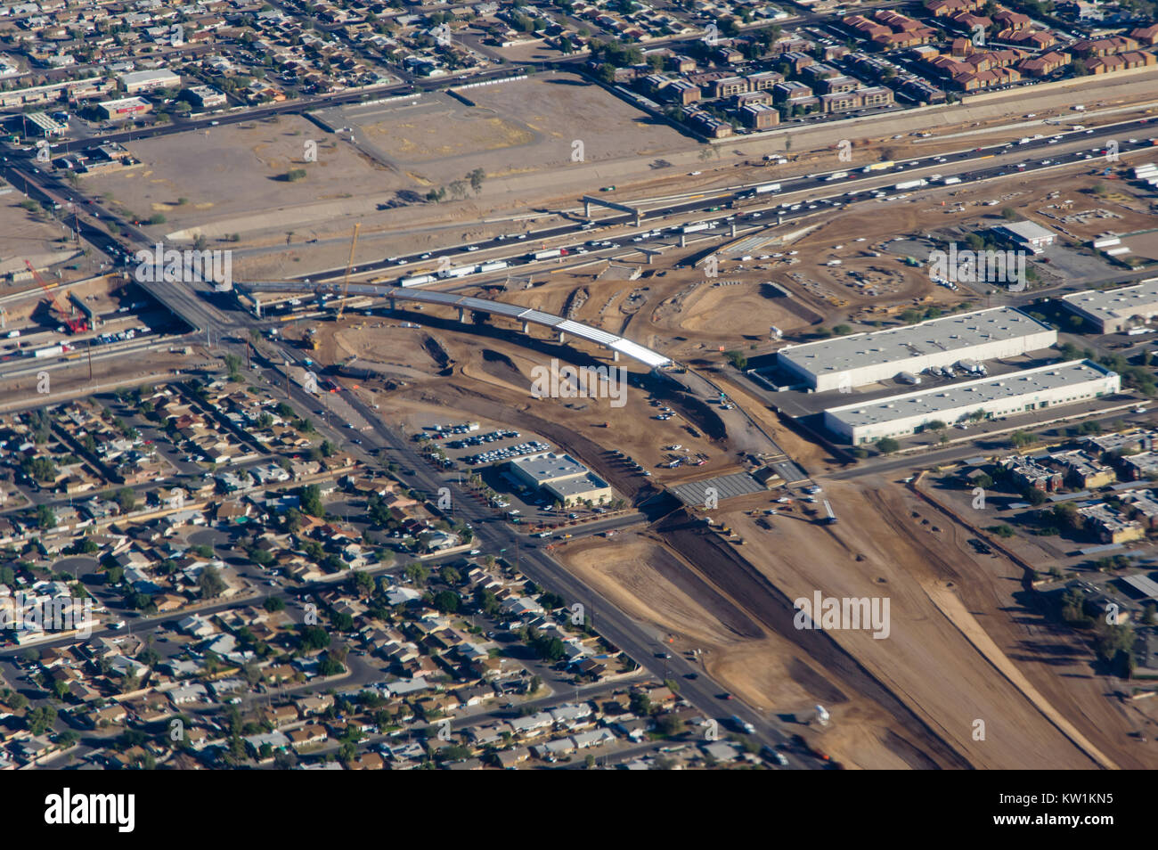 Aerial view of interchange construction on interstate 10 near Phoenix Arizona Stock Photohttps://www.alamy.com/image-license-details/?v=1https://www.alamy.com/stock-photo-aerial-view-of-interchange-construction-on-interstate-10-near-phoenix-170297153.html
RMKW1KN5–Aerial view of interchange construction on interstate 10 near Phoenix Arizona
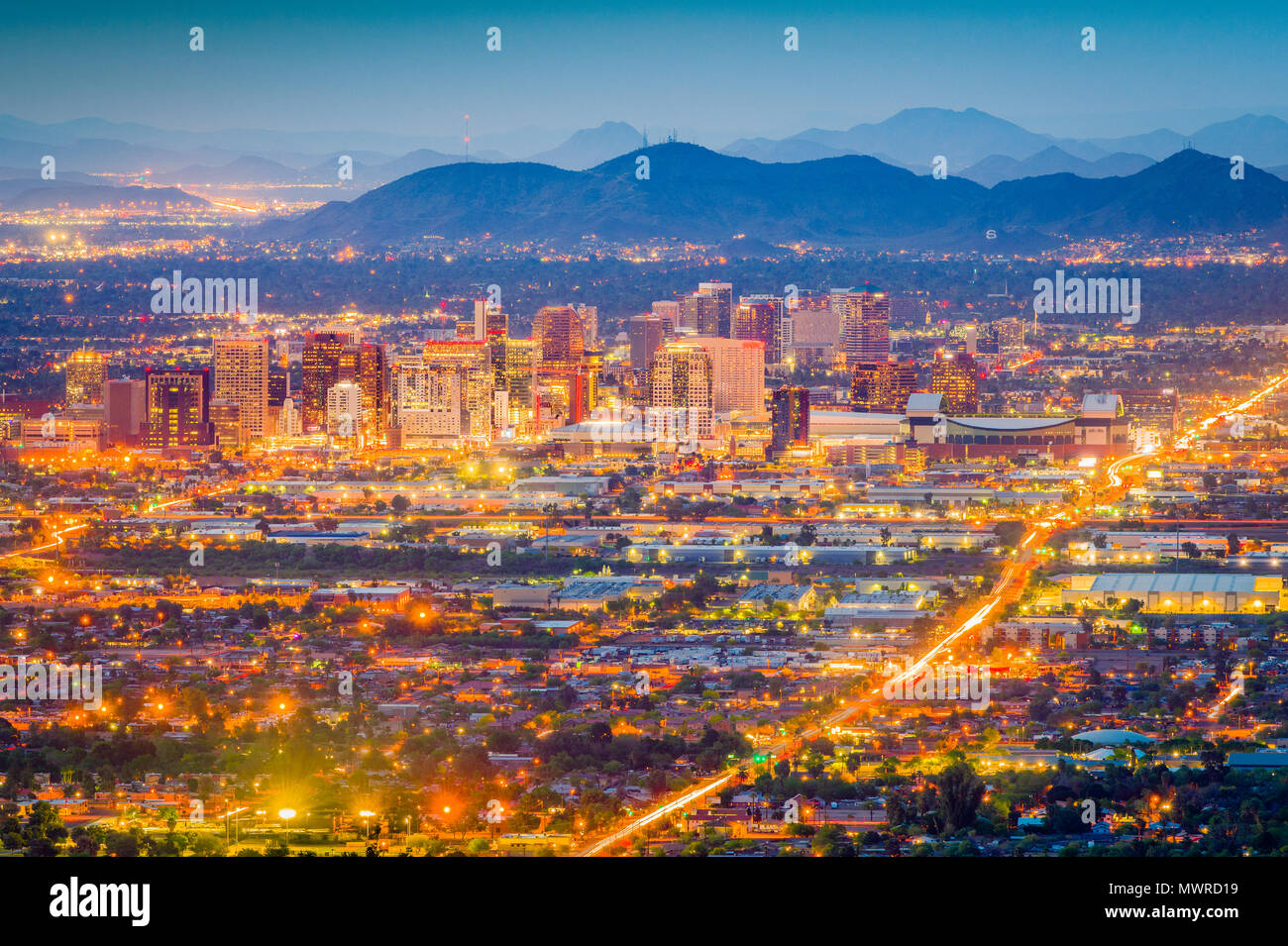 Phoenix, Arizona, USA downtown cityscape at dusk. Stock Photohttps://www.alamy.com/image-license-details/?v=1https://www.alamy.com/phoenix-arizona-usa-downtown-cityscape-at-dusk-image187985205.html
RFMWRD19–Phoenix, Arizona, USA downtown cityscape at dusk.
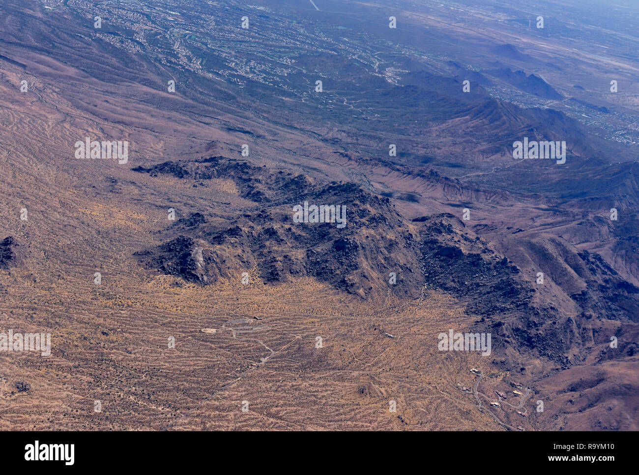 Aerial view mountains and desert outside Phoenix AZ, USA Stock Photohttps://www.alamy.com/image-license-details/?v=1https://www.alamy.com/aerial-view-mountains-and-desert-outside-phoenix-az-usa-image229875100.html
RMR9YM10–Aerial view mountains and desert outside Phoenix AZ, USA
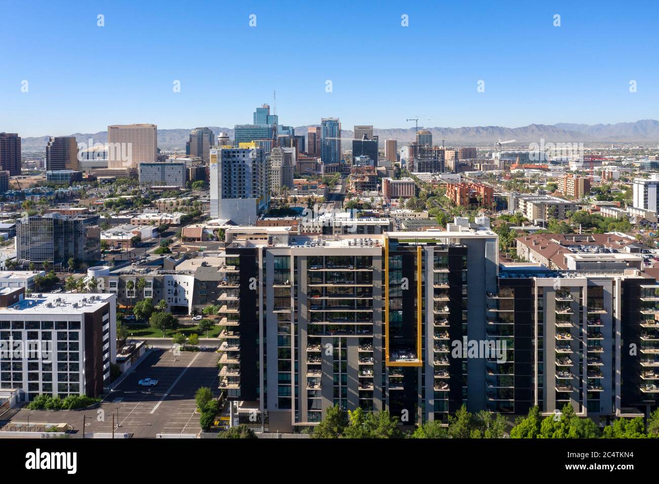 Aerial views of downtown Phoenix and the trendy RoRo neighborhood, Arizona Stock Photohttps://www.alamy.com/image-license-details/?v=1https://www.alamy.com/aerial-views-of-downtown-phoenix-and-the-trendy-roro-neighborhood-arizona-image364418688.html
RF2C4TKN4–Aerial views of downtown Phoenix and the trendy RoRo neighborhood, Arizona