Quick filters:
Natural satellites Stock Photos and Images
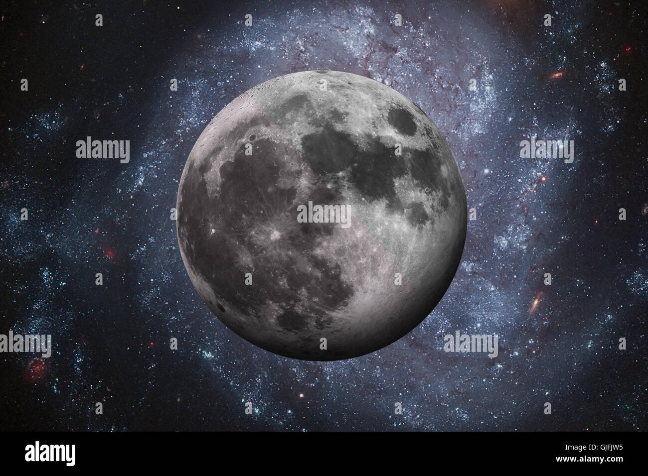 Solar System - Earths Moon. The Moon is Earth's only natural satellite. It is one of the largest natural satellites in the Solar Stock Photohttps://www.alamy.com/image-license-details/?v=1https://www.alamy.com/stock-photo-solar-system-earths-moon-the-moon-is-earths-only-natural-satellite-114670113.html
RFGJFJW5–Solar System - Earths Moon. The Moon is Earth's only natural satellite. It is one of the largest natural satellites in the Solar
 Photograph of Phobos, the larger and inner of the two natural satellites of Mars. Dated 2008 Stock Photohttps://www.alamy.com/image-license-details/?v=1https://www.alamy.com/stock-photo-photograph-of-phobos-the-larger-and-inner-of-the-two-natural-satellites-90849741.html
RMF7PFNH–Photograph of Phobos, the larger and inner of the two natural satellites of Mars. Dated 2008
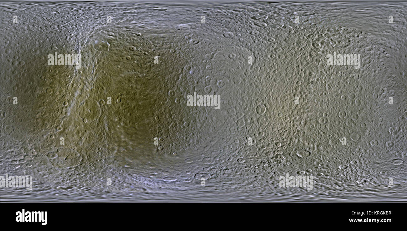 Rea Moon - NASA Stock Photohttps://www.alamy.com/image-license-details/?v=1https://www.alamy.com/stock-image-rea-moon-nasa-169396859.html
RMKRGKBR–Rea Moon - NASA
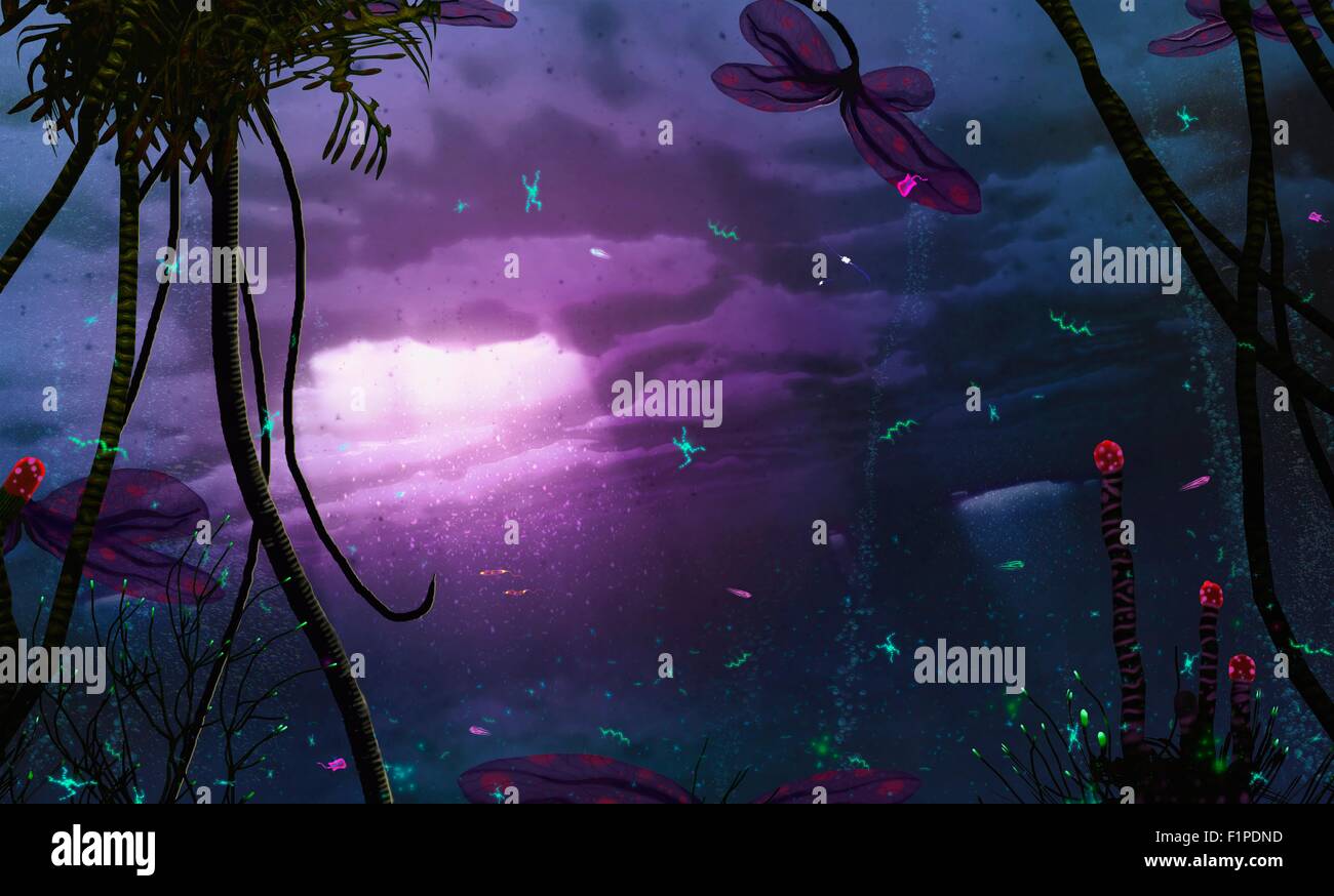 An impression of life on an ice moon Some natural satellites such as the Galilean moon Europa (of Jupiter) are covered in Stock Photohttps://www.alamy.com/image-license-details/?v=1https://www.alamy.com/stock-photo-an-impression-of-life-on-an-ice-moon-some-natural-satellites-such-87160233.html
RFF1PDND–An impression of life on an ice moon Some natural satellites such as the Galilean moon Europa (of Jupiter) are covered in
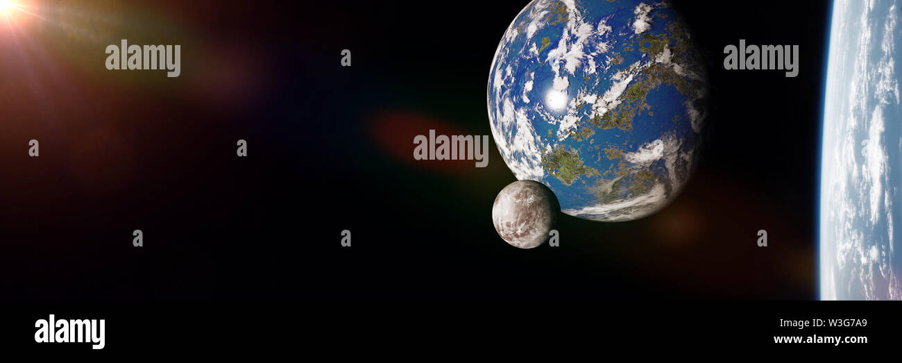 Earth like alien moon and other natural satellites orbiting a super-Earth (3d science illustration banner) Stock Photohttps://www.alamy.com/image-license-details/?v=1https://www.alamy.com/earth-like-alien-moon-and-other-natural-satellites-orbiting-a-super-earth-3d-science-illustration-banner-image260356497.html
RFW3G7A9–Earth like alien moon and other natural satellites orbiting a super-Earth (3d science illustration banner)
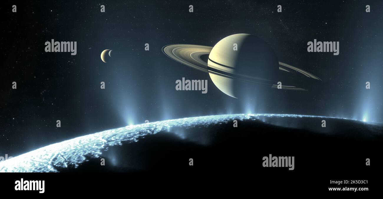 Saturn has long inspired astronomers, from Galileo’s first glimpse of its rings in 1610 to the last pictures taken by the Cassini spacecraft as it descended toward the planet’s atmosphere in 2017. But after four centuries of observing Saturn with telescopes, robotic flybys and orbiters, what might it look like to visit in person and witness the jewel of the solar system rising above one of its many natural satellites Here we imagine the scene. Gazing over the south pole of the small moon Enceladus, geysers burst forth from cracks in the ice, scattering sunlight and forming a luminous veil arou Stock Photohttps://www.alamy.com/image-license-details/?v=1https://www.alamy.com/saturn-has-long-inspired-astronomers-from-galileos-first-glimpse-of-its-rings-in-1610-to-the-last-pictures-taken-by-the-cassini-spacecraft-as-it-descended-toward-the-planets-atmosphere-in-2017-but-after-four-centuries-of-observing-saturn-with-telescopes-robotic-flybys-and-orbiters-what-might-it-look-like-to-visit-in-person-and-witness-the-jewel-of-the-solar-system-rising-above-one-of-its-many-natural-satellites-here-we-imagine-the-scene-gazing-over-the-south-pole-of-the-small-moon-enceladus-geysers-burst-forth-from-cracks-in-the-ice-scattering-sunlight-and-forming-a-luminous-veil-arou-image485251649.html
RM2K5D3C1–Saturn has long inspired astronomers, from Galileo’s first glimpse of its rings in 1610 to the last pictures taken by the Cassini spacecraft as it descended toward the planet’s atmosphere in 2017. But after four centuries of observing Saturn with telescopes, robotic flybys and orbiters, what might it look like to visit in person and witness the jewel of the solar system rising above one of its many natural satellites Here we imagine the scene. Gazing over the south pole of the small moon Enceladus, geysers burst forth from cracks in the ice, scattering sunlight and forming a luminous veil arou
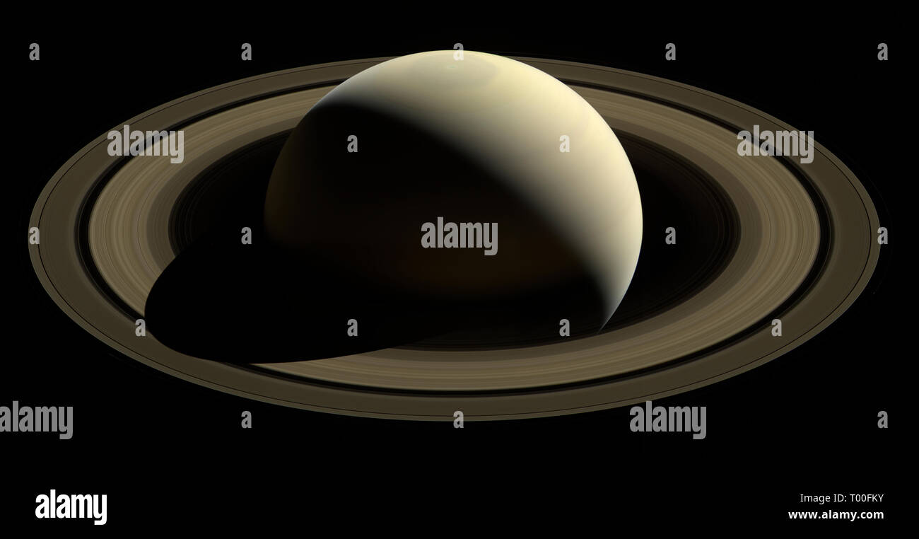 planet Saturn taken by the Cassini-Huygens spacecraft probe - The Cassini–Huygens mission, commonly called Cassini, was a collaboration between NASA, the European Space Agency, and the Italian Space Agency to send a probe to study the planet Saturn and its system, including its rings and natural satellites Stock Photohttps://www.alamy.com/image-license-details/?v=1https://www.alamy.com/planet-saturn-taken-by-the-cassini-huygens-spacecraft-probe-the-cassinihuygens-mission-commonly-called-cassini-was-a-collaboration-between-nasa-the-european-space-agency-and-the-italian-space-agency-to-send-a-probe-to-study-the-planet-saturn-and-its-system-including-its-rings-and-natural-satellites-image240957471.html
RMT00FKY–planet Saturn taken by the Cassini-Huygens spacecraft probe - The Cassini–Huygens mission, commonly called Cassini, was a collaboration between NASA, the European Space Agency, and the Italian Space Agency to send a probe to study the planet Saturn and its system, including its rings and natural satellites
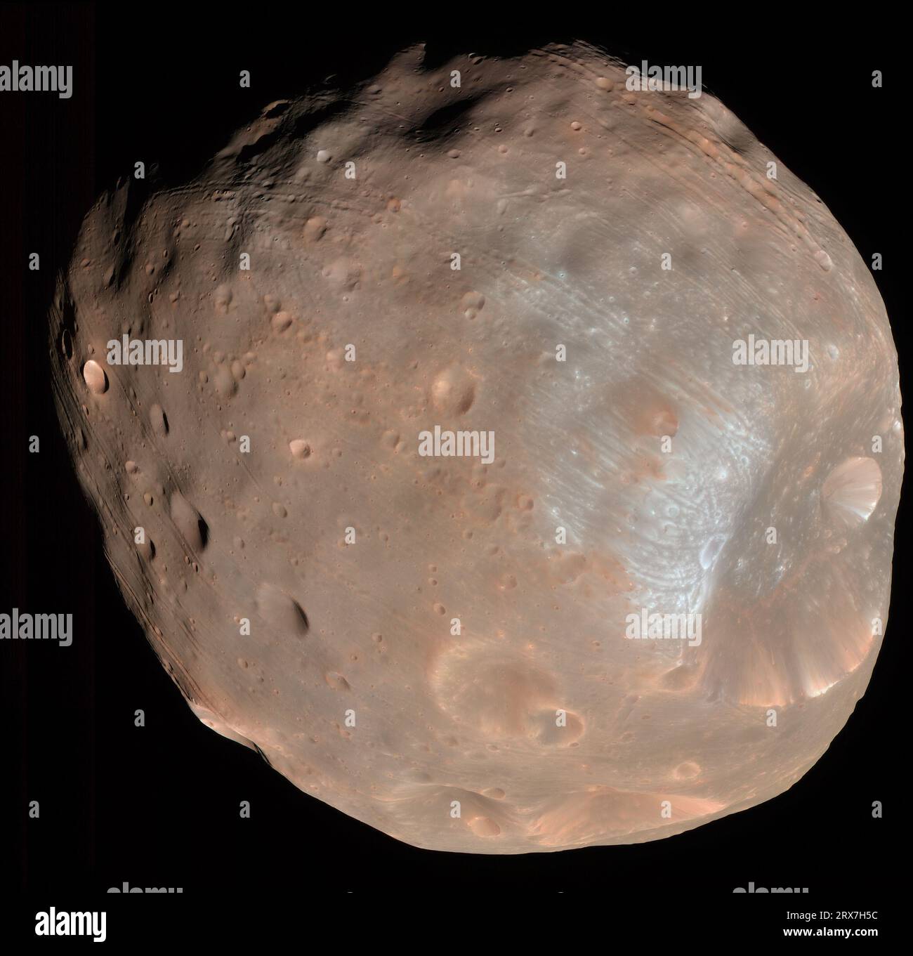 Phobos is the innermost and larger of the two natural satellites of Mars Stock Photohttps://www.alamy.com/image-license-details/?v=1https://www.alamy.com/phobos-is-the-innermost-and-larger-of-the-two-natural-satellites-of-mars-image566879976.html
RM2RX7H5C–Phobos is the innermost and larger of the two natural satellites of Mars
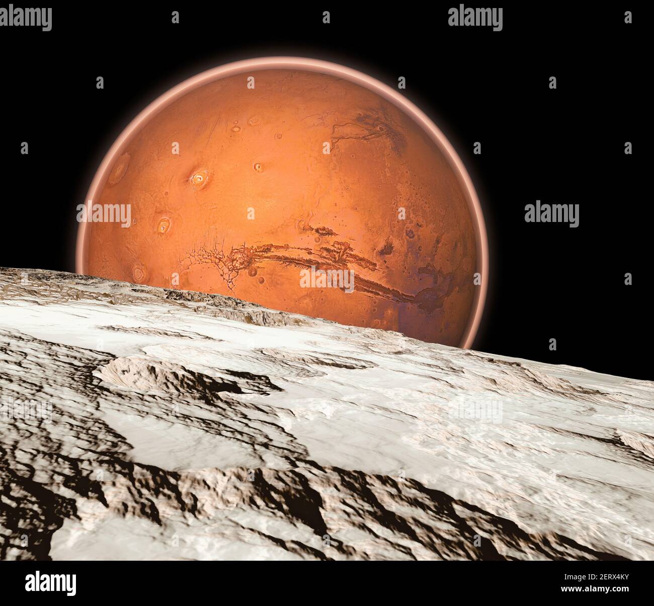 View of Mars seen from Phobos, Deimos the two moons of Mars, natural satellites orbiting the Red Planet. Exploration. Discoveries. 3d render Stock Photohttps://www.alamy.com/image-license-details/?v=1https://www.alamy.com/view-of-mars-seen-from-phobos-deimos-the-two-moons-of-mars-natural-satellites-orbiting-the-red-planet-exploration-discoveries-3d-render-image410549999.html
RF2ERX4KY–View of Mars seen from Phobos, Deimos the two moons of Mars, natural satellites orbiting the Red Planet. Exploration. Discoveries. 3d render
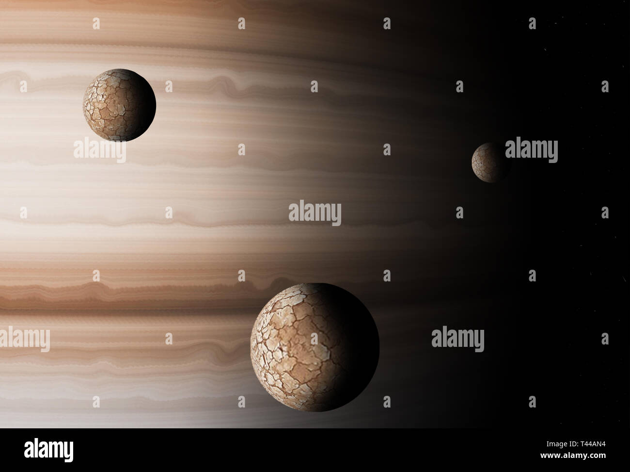 Jupiter planet with its natural satellites that follow it Stock Photohttps://www.alamy.com/image-license-details/?v=1https://www.alamy.com/jupiter-planet-with-its-natural-satellites-that-follow-it-image243500016.html
RFT44AN4–Jupiter planet with its natural satellites that follow it
 Uranus has at least 27 satellites: five outer moons, 11 small internal moons, which were discovered by the Voyager 2 probe in 1986, and 11 recently discovered moons since 1997. Stock Photohttps://www.alamy.com/image-license-details/?v=1https://www.alamy.com/uranus-has-at-least-27-satellites-five-outer-moons-11-small-internal-image156175247.html
RMK22B3B–Uranus has at least 27 satellites: five outer moons, 11 small internal moons, which were discovered by the Voyager 2 probe in 1986, and 11 recently discovered moons since 1997.
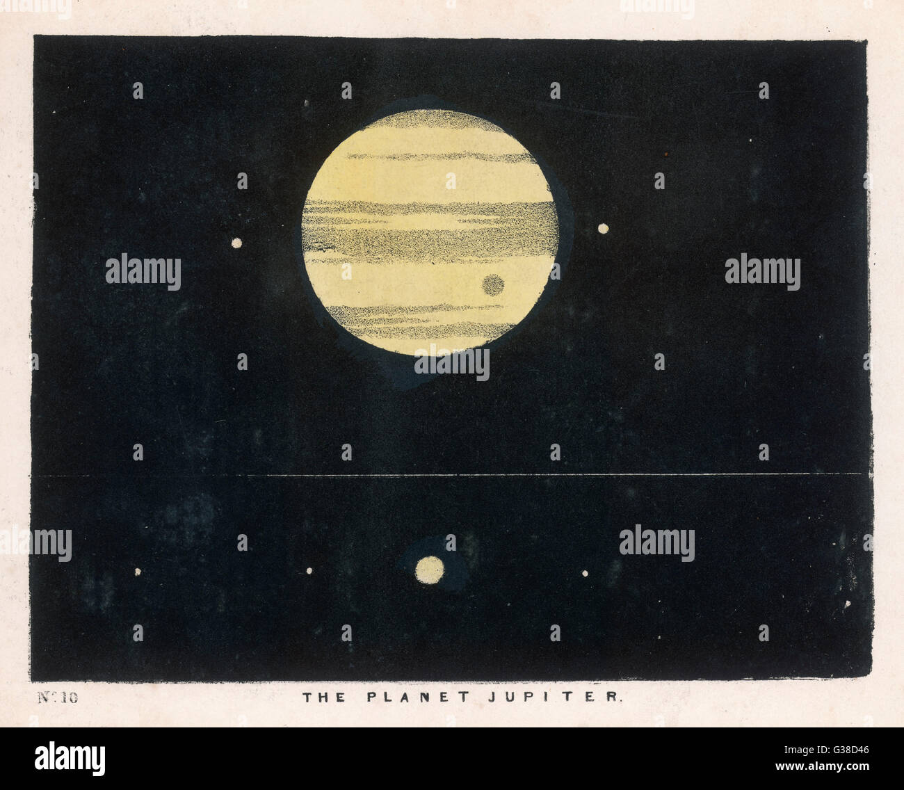 A view of Jupiter showing its moons and satellites. Date: 1849 Stock Photohttps://www.alamy.com/image-license-details/?v=1https://www.alamy.com/stock-photo-a-view-of-jupiter-showing-its-moons-and-satellites-date-1849-105292102.html
RMG38D46–A view of Jupiter showing its moons and satellites. Date: 1849
 Futuristic starship, intergalactic space station or future orbital metropolis flying near gas giant planet with two natural satellites cartoon vector. Stock Vectorhttps://www.alamy.com/image-license-details/?v=1https://www.alamy.com/futuristic-starship-intergalactic-space-station-or-future-orbital-metropolis-flying-near-gas-giant-planet-with-two-natural-satellites-cartoon-vector-image468191943.html
RF2J5KYGR–Futuristic starship, intergalactic space station or future orbital metropolis flying near gas giant planet with two natural satellites cartoon vector.
 Dish Antenna fitted on top of house, maharashtra, india Stock Photohttps://www.alamy.com/image-license-details/?v=1https://www.alamy.com/dish-antenna-fitted-on-top-of-house-maharashtra-india-image651671153.html
RM2ST655N–Dish Antenna fitted on top of house, maharashtra, india
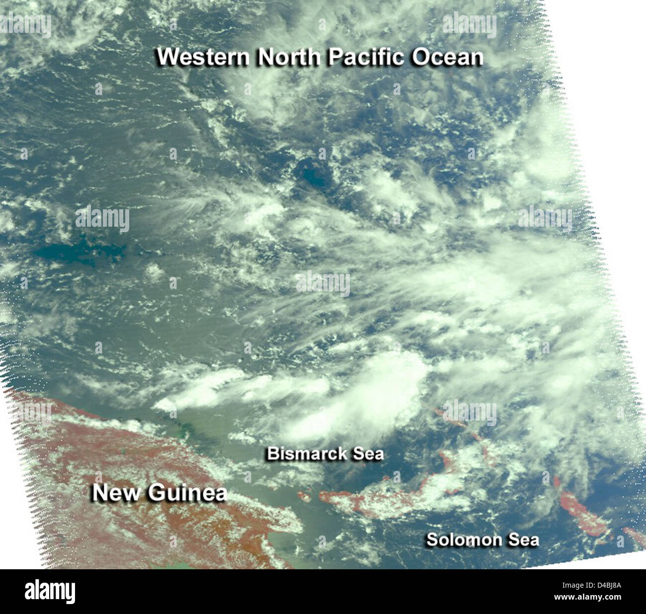 NASA’s satellites capture images of Typhoon Bopha as it moves toward the Philippines, providing essential data for weather forecasting and disaster management. Stock Photohttps://www.alamy.com/image-license-details/?v=1https://www.alamy.com/stock-photo-nasas-satellites-capture-images-of-typhoon-bopha-as-it-moves-toward-54345546.html
RMD4BJ8A–NASA’s satellites capture images of Typhoon Bopha as it moves toward the Philippines, providing essential data for weather forecasting and disaster management.
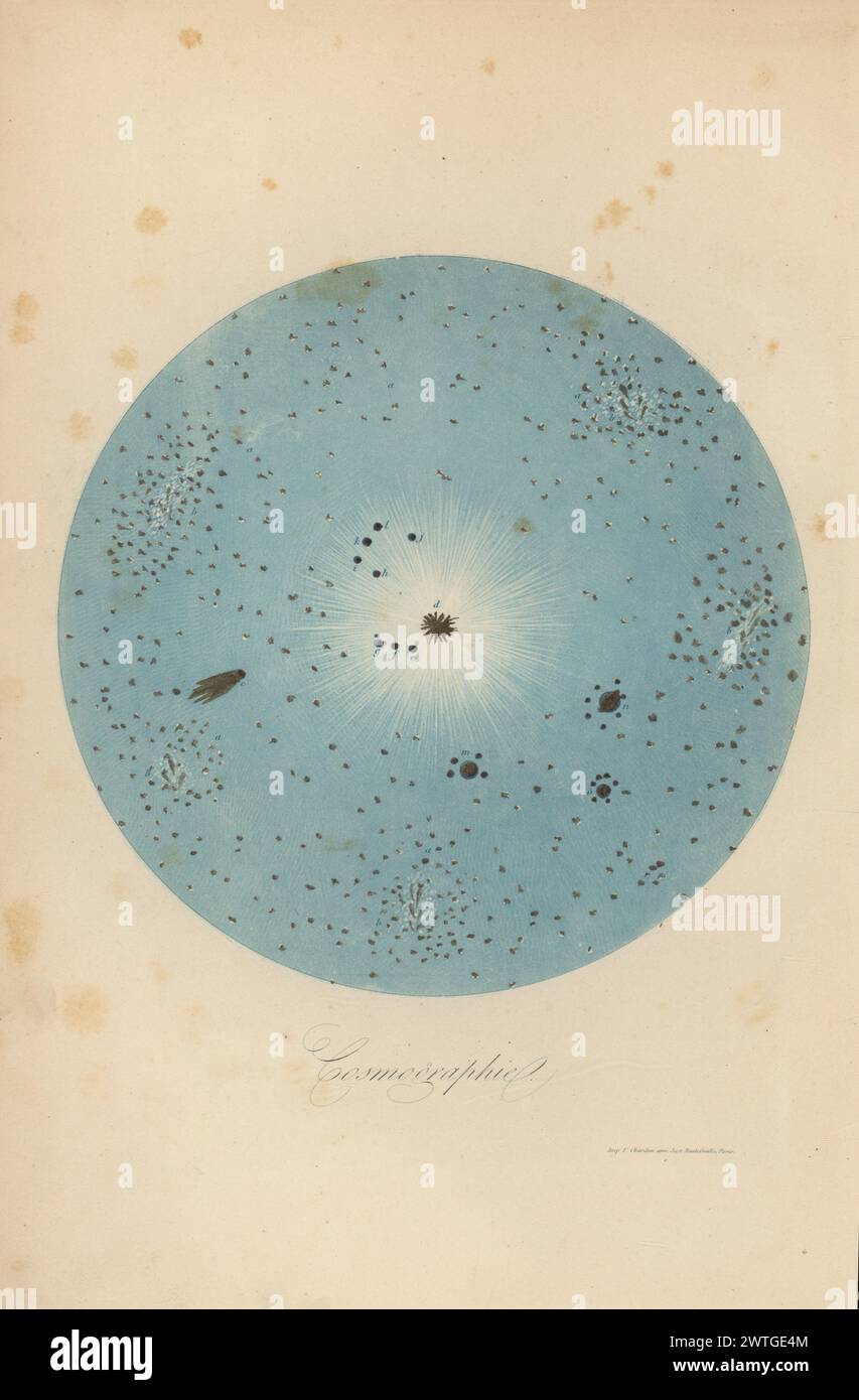 Representation of the Universe showing the stars a, nebulae b, comets c, sun d, planets and satellites Merury e, Venus f, Earth g, Mars h, Vesta i, Junon j, Ceres k, Pallas l, Jupiter m, Saturn n, Uranus o. Cosmography. Cosmographie. Handcoloured wood engraving printed by F. Chardon from Achille Comte’s Musee d’Histoire Naturelle, Museum of Natural History, Gustave Hazard, Paris, 1854. Stock Photohttps://www.alamy.com/image-license-details/?v=1https://www.alamy.com/representation-of-the-universe-showing-the-stars-a-nebulae-b-comets-c-sun-d-planets-and-satellites-merury-e-venus-f-earth-g-mars-h-vesta-i-junon-j-ceres-k-pallas-l-jupiter-m-saturn-n-uranus-o-cosmography-cosmographie-handcoloured-wood-engraving-printed-by-f-chardon-from-achille-comtes-musee-dhistoire-naturelle-museum-of-natural-history-gustave-hazard-paris-1854-image600266596.html
RM2WTGE4M–Representation of the Universe showing the stars a, nebulae b, comets c, sun d, planets and satellites Merury e, Venus f, Earth g, Mars h, Vesta i, Junon j, Ceres k, Pallas l, Jupiter m, Saturn n, Uranus o. Cosmography. Cosmographie. Handcoloured wood engraving printed by F. Chardon from Achille Comte’s Musee d’Histoire Naturelle, Museum of Natural History, Gustave Hazard, Paris, 1854.
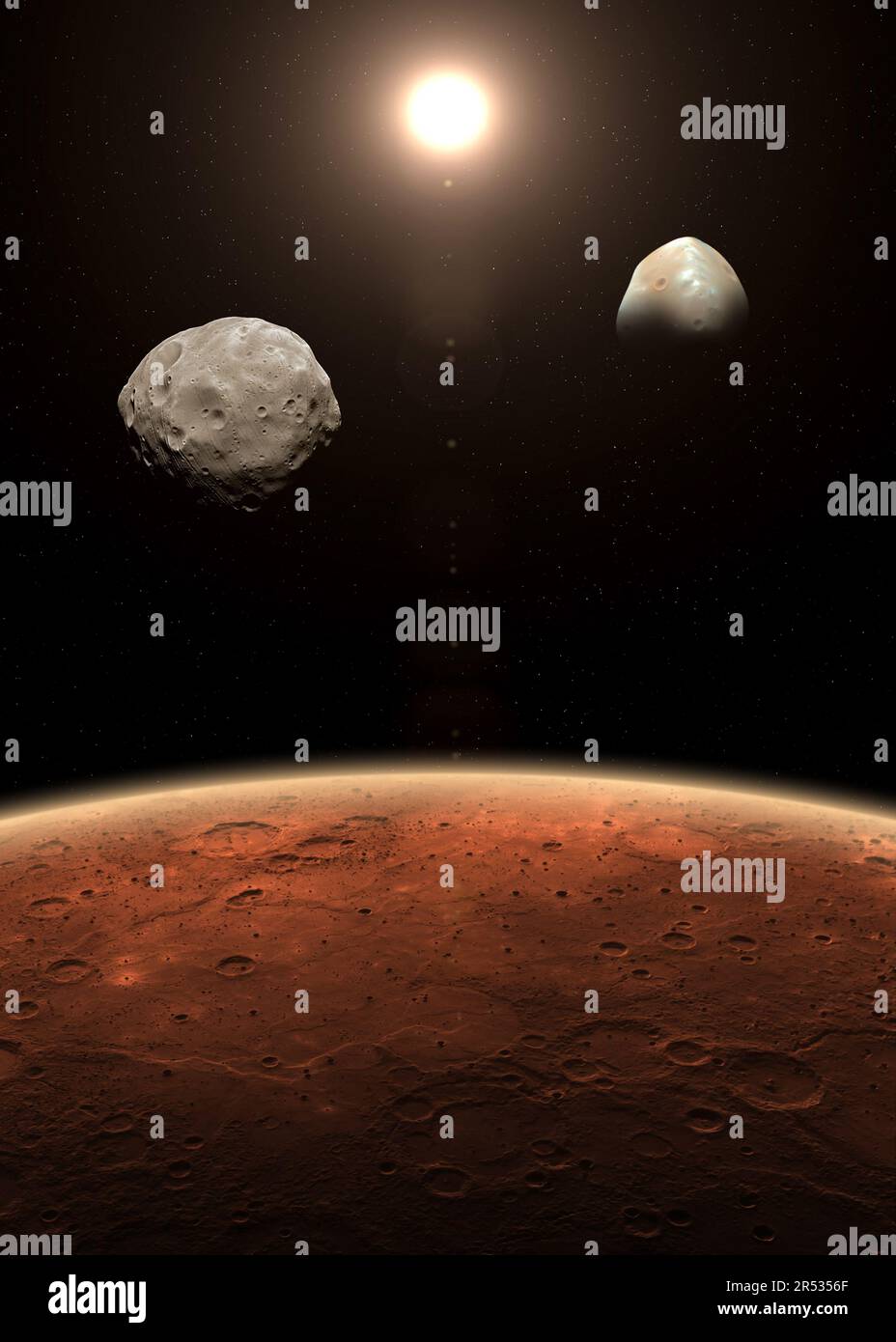 Mars and its two natural satellites Deimos and Phobos. Mars is a red planet of the solar system. Mars, Phobos and Deimos. Elements furnished by NASA. Stock Photohttps://www.alamy.com/image-license-details/?v=1https://www.alamy.com/mars-and-its-two-natural-satellites-deimos-and-phobos-mars-is-a-red-planet-of-the-solar-system-mars-phobos-and-deimos-elements-furnished-by-nasa-image553875015.html
RF2R5356F–Mars and its two natural satellites Deimos and Phobos. Mars is a red planet of the solar system. Mars, Phobos and Deimos. Elements furnished by NASA.
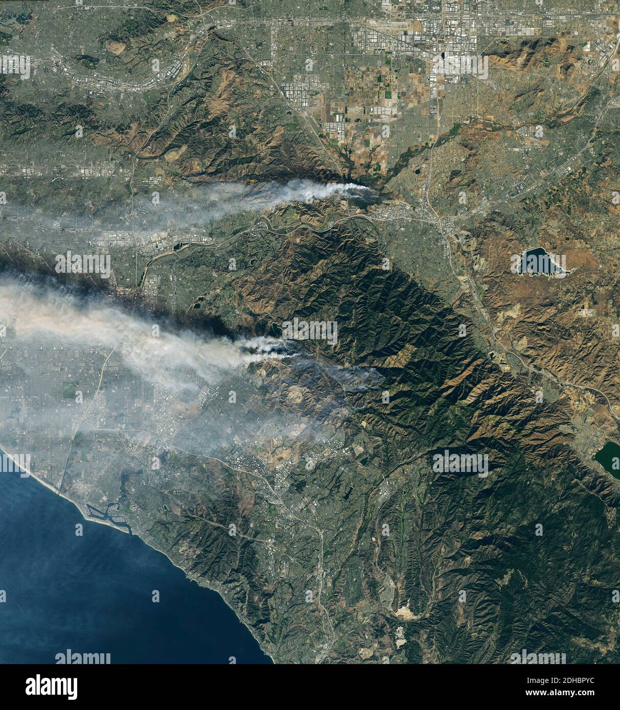 Smoke plumes rise from the Airport and Silverado Canyon wildfires show by the Operational Land Imager on the Landsat 8 satellite December 3, 2020 near Los Angeles, California. Stock Photohttps://www.alamy.com/image-license-details/?v=1https://www.alamy.com/smoke-plumes-rise-from-the-airport-and-silverado-canyon-wildfires-show-by-the-operational-land-imager-on-the-landsat-8-satellite-december-3-2020-near-los-angeles-california-image389336736.html
RM2DHBPYC–Smoke plumes rise from the Airport and Silverado Canyon wildfires show by the Operational Land Imager on the Landsat 8 satellite December 3, 2020 near Los Angeles, California.
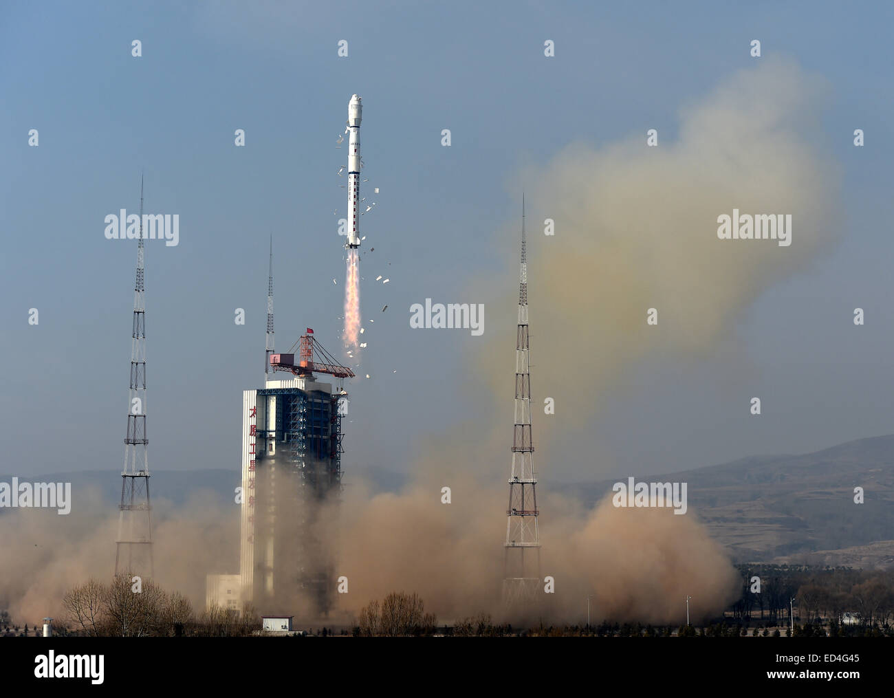 Taiyuan, China's Shanxi Province. 27th Dec, 2014. A Long March-4B rocket carrying the Yaogan-26 remote sensing satellite blasts off from the launch pad at the Taiyuan Satellite Launch Center in Taiyuan, capital of north China's Shanxi Province, Dec. 27, 2014. Yaogan satellites are mainly used for scientific experiments, natural resource surveys, crop yield estimates and disaster relief. Credit: Yan Yan/Xinhua/Alamy Live News Stock Photohttps://www.alamy.com/image-license-details/?v=1https://www.alamy.com/stock-photo-taiyuan-chinas-shanxi-province-27th-dec-2014-a-long-march-4b-rocket-76932469.html
RMED4G45–Taiyuan, China's Shanxi Province. 27th Dec, 2014. A Long March-4B rocket carrying the Yaogan-26 remote sensing satellite blasts off from the launch pad at the Taiyuan Satellite Launch Center in Taiyuan, capital of north China's Shanxi Province, Dec. 27, 2014. Yaogan satellites are mainly used for scientific experiments, natural resource surveys, crop yield estimates and disaster relief. Credit: Yan Yan/Xinhua/Alamy Live News
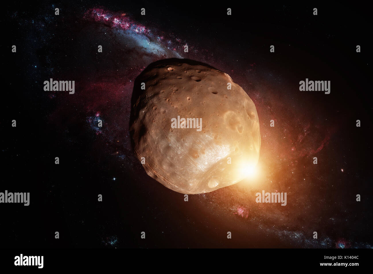 Phobos is the larger and inner of the two natural satellites of Mars, the other being Deimos. Retouched image. Elements of this image furnished by NAS Stock Photohttps://www.alamy.com/image-license-details/?v=1https://www.alamy.com/phobos-is-the-larger-and-inner-of-the-two-natural-satellites-of-mars-image155595900.html
RFK1404C–Phobos is the larger and inner of the two natural satellites of Mars, the other being Deimos. Retouched image. Elements of this image furnished by NAS
 Galileo Galilei's observations of Jupiter and it's satellites. Galileo Galilei (1564-1642) an Italian polymath. Dated 17th century Stock Photohttps://www.alamy.com/image-license-details/?v=1https://www.alamy.com/galileo-galileis-observations-of-jupiter-and-its-satellites-galileo-galilei-1564-1642-an-italian-polymath-dated-17th-century-image186400487.html
RMMR77M7–Galileo Galilei's observations of Jupiter and it's satellites. Galileo Galilei (1564-1642) an Italian polymath. Dated 17th century
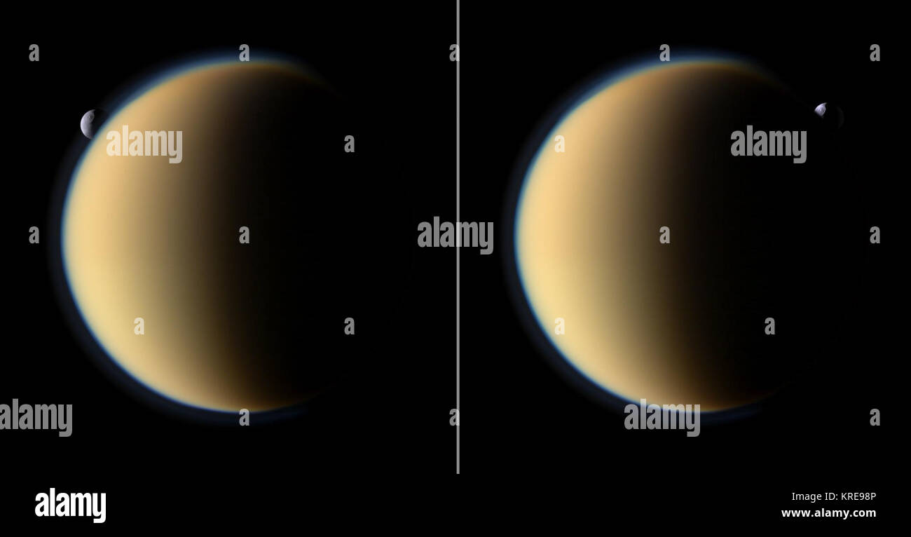 Tethys Behind Titan Stock Photohttps://www.alamy.com/image-license-details/?v=1https://www.alamy.com/stock-image-tethys-behind-titan-169345030.html
RMKRE98P–Tethys Behind Titan
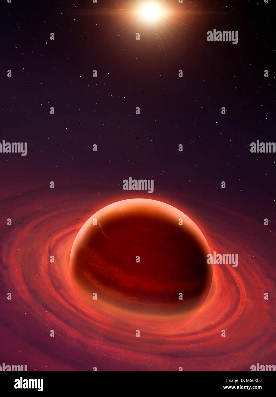 Formation of a gas giant. The planet is in the centre, still growing. A concentric disc surrounds it, inside of which the natural satellites are forming via the process of accretion. The Sun is at the top, itself still contracting. Stock Photohttps://www.alamy.com/image-license-details/?v=1https://www.alamy.com/stock-photo-formation-of-a-gas-giant-the-planet-is-in-the-centre-still-growing-176075760.html
RFM6CXC0–Formation of a gas giant. The planet is in the centre, still growing. A concentric disc surrounds it, inside of which the natural satellites are forming via the process of accretion. The Sun is at the top, itself still contracting.
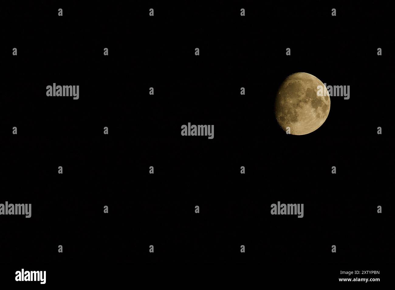 Mainz, Germany. Waxing Gibbous Moon. Stock Photohttps://www.alamy.com/image-license-details/?v=1https://www.alamy.com/mainz-germany-waxing-gibbous-moon-image617724905.html
RF2XTYPBN–Mainz, Germany. Waxing Gibbous Moon.
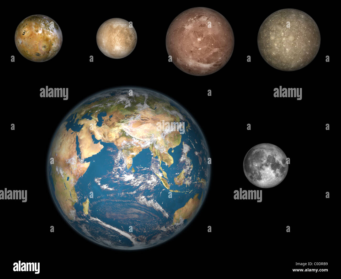 Artist's concept of Jupiter's four largest satellites laid out above the Earth and it's moon. Stock Photohttps://www.alamy.com/image-license-details/?v=1https://www.alamy.com/stock-photo-artists-concept-of-jupiters-four-largest-satellites-laid-out-above-34724461.html
RFC0DRB9–Artist's concept of Jupiter's four largest satellites laid out above the Earth and it's moon.
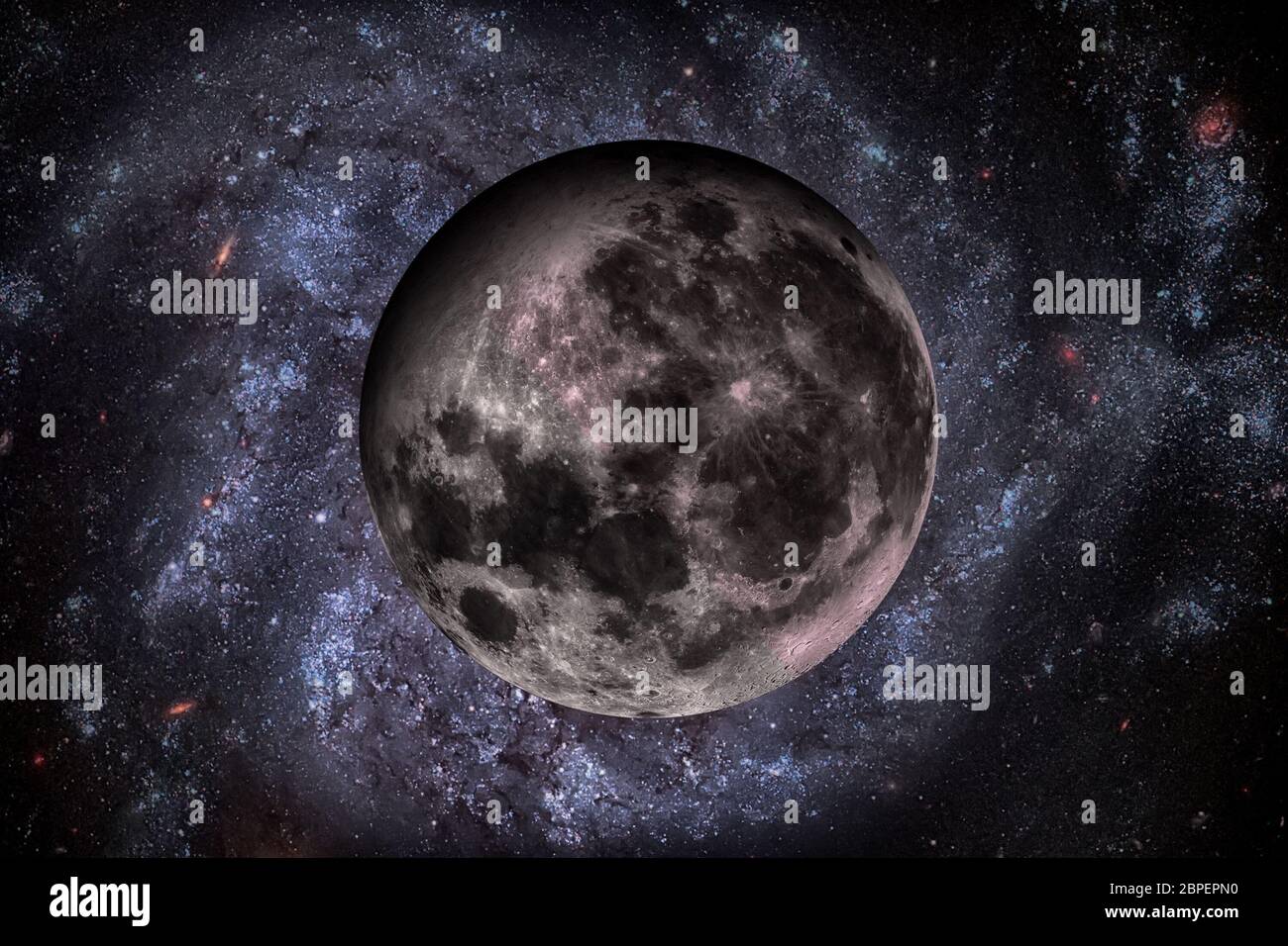 Solar System - Earths Moon. The Moon is Earth's only natural satellite. It is one of the largest natural satellites in the Solar System. Elements of t Stock Photohttps://www.alamy.com/image-license-details/?v=1https://www.alamy.com/solar-system-earths-moon-the-moon-is-earths-only-natural-satellite-it-is-one-of-the-largest-natural-satellites-in-the-solar-system-elements-of-t-image358054956.html
RF2BPEPN0–Solar System - Earths Moon. The Moon is Earth's only natural satellite. It is one of the largest natural satellites in the Solar System. Elements of t
 Water vapor has been detected in the atmosphere of several planets, satellites and other bodies in the Solar System Stock Photohttps://www.alamy.com/image-license-details/?v=1https://www.alamy.com/water-vapor-has-been-detected-in-the-atmosphere-of-several-planets-satellites-and-other-bodies-in-the-solar-system-image607842949.html
RF2X8WHTN–Water vapor has been detected in the atmosphere of several planets, satellites and other bodies in the Solar System
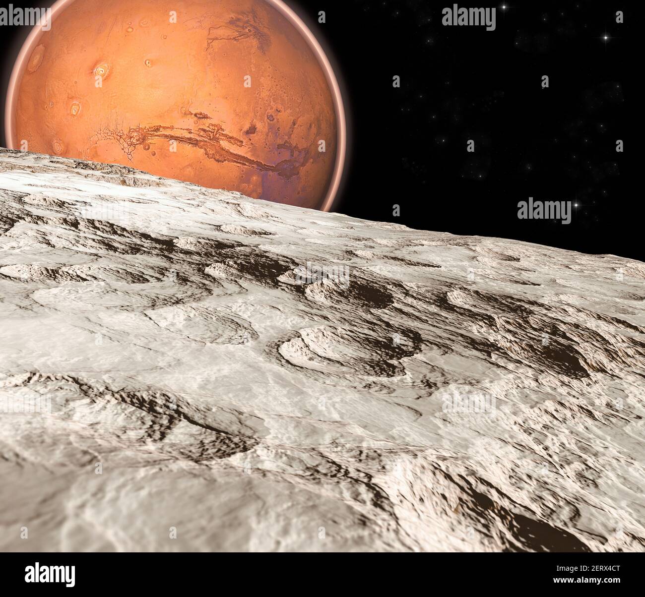 View of Mars seen from Phobos, Deimos the two moons of Mars, natural satellites orbiting the Red Planet. Exploration. Discoveries. 3d render Stock Photohttps://www.alamy.com/image-license-details/?v=1https://www.alamy.com/view-of-mars-seen-from-phobos-deimos-the-two-moons-of-mars-natural-satellites-orbiting-the-red-planet-exploration-discoveries-3d-render-image410549800.html
RF2ERX4CT–View of Mars seen from Phobos, Deimos the two moons of Mars, natural satellites orbiting the Red Planet. Exploration. Discoveries. 3d render
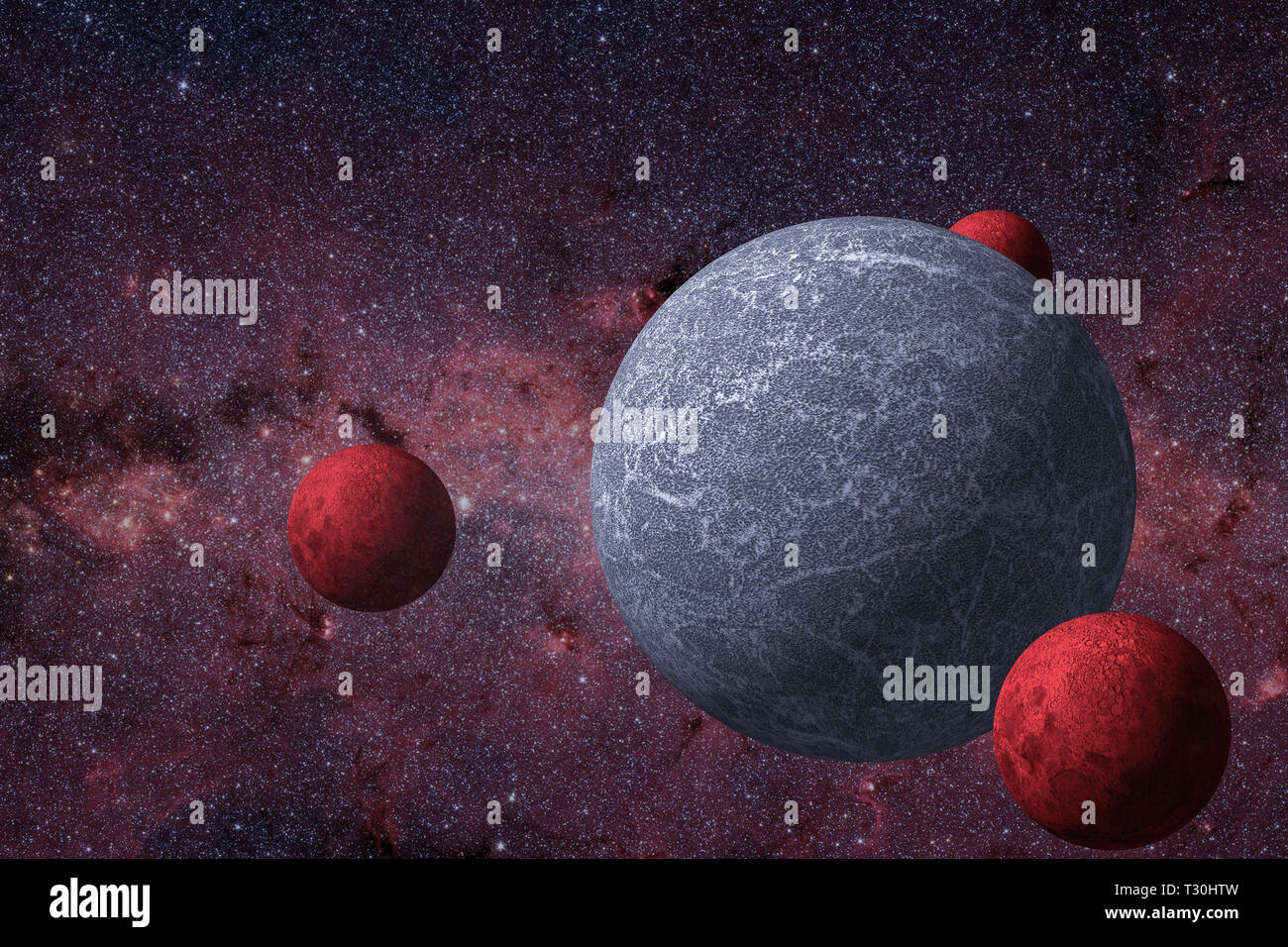 The unknown planet and its natural satellites of red color around it circle in the galaxy Stock Photohttps://www.alamy.com/image-license-details/?v=1https://www.alamy.com/the-unknown-planet-and-its-natural-satellites-of-red-color-around-it-circle-in-the-galaxy-image242803145.html
RFT30HTW–The unknown planet and its natural satellites of red color around it circle in the galaxy
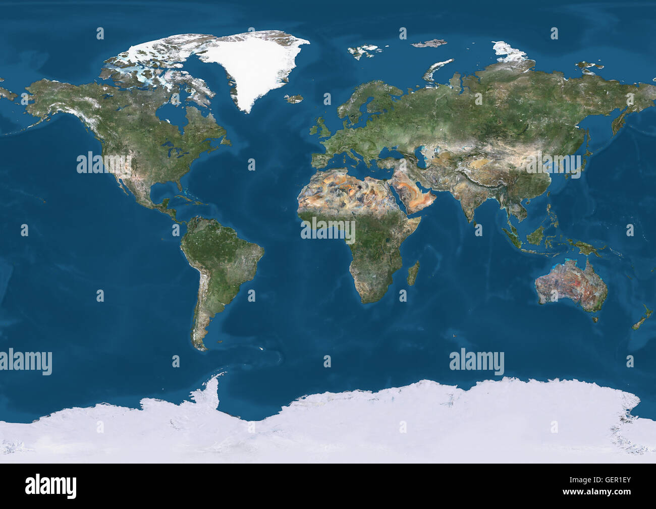 True natural colour satellite image of the Earth. This image was compiled from data acquired by Landsat satellites. Stock Photohttps://www.alamy.com/image-license-details/?v=1https://www.alamy.com/stock-photo-true-natural-colour-satellite-image-of-the-earth-this-image-was-compiled-112373491.html
RMGER1EY–True natural colour satellite image of the Earth. This image was compiled from data acquired by Landsat satellites.
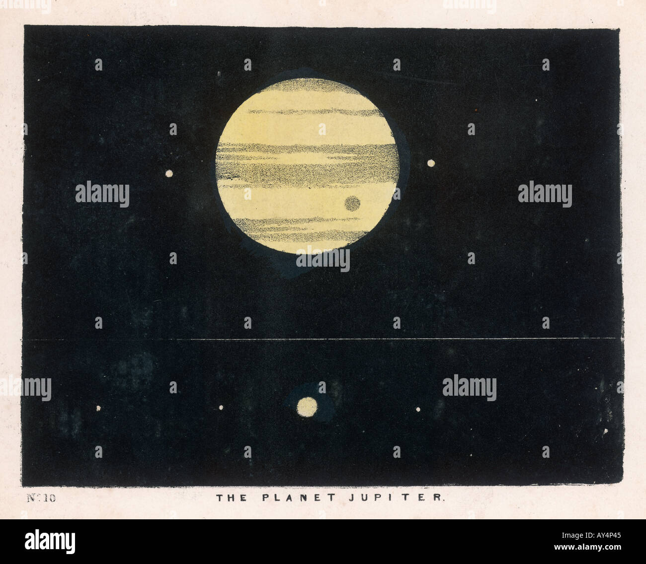 Blunt Jupiter Moons 10 Stock Photohttps://www.alamy.com/image-license-details/?v=1https://www.alamy.com/blunt-jupiter-moons-10-image5547588.html
RMAY4P45–Blunt Jupiter Moons 10
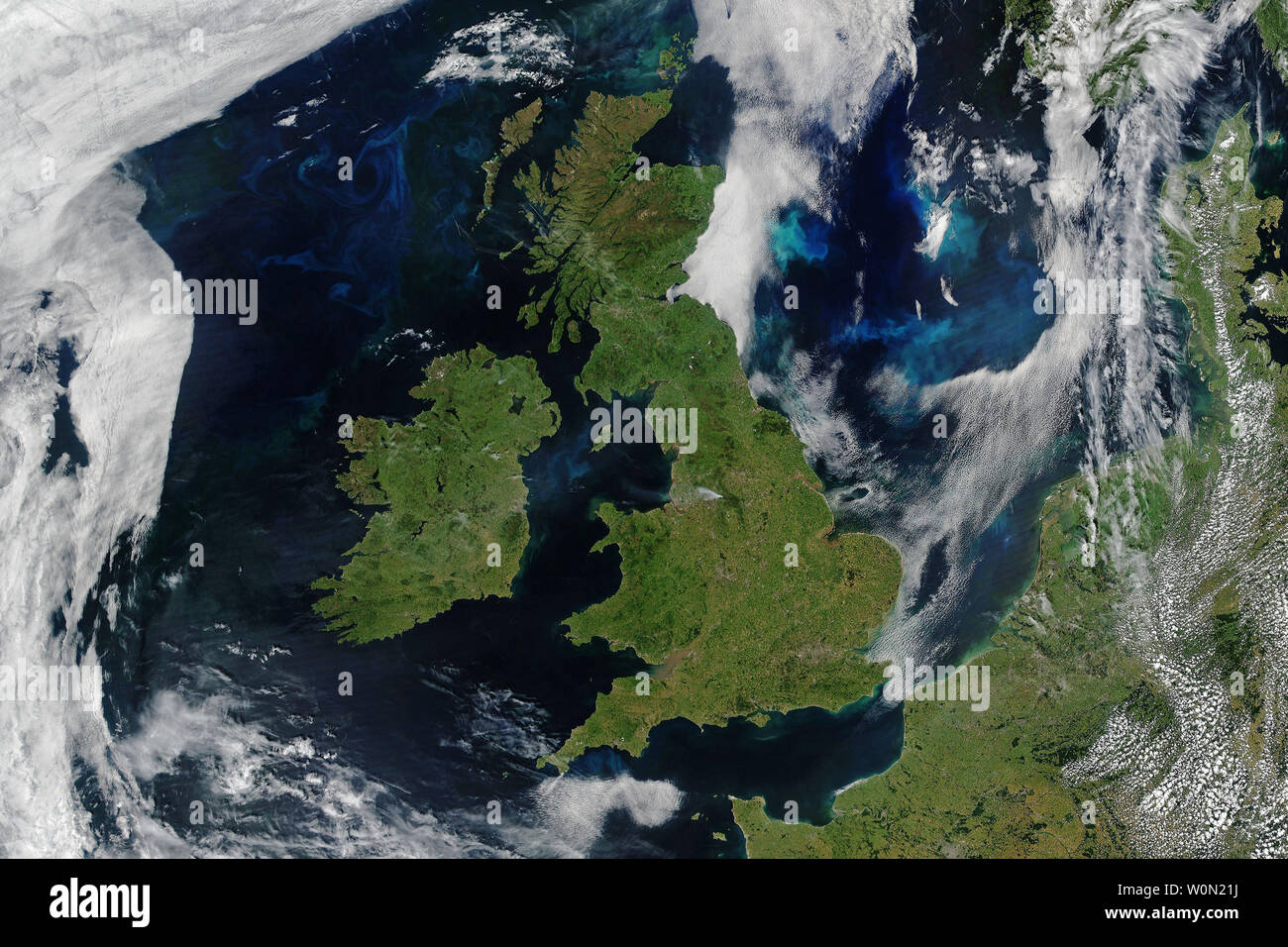 The United Kingdom and Ireland are among the cloudiest places on Earth. Air masses from the Arctic, southern and northern Europe, the Maritimes, and the Gulf Stream all come crashing together in this region. Yet in late June 2018, England, Ireland, Scotland, and Wales all bathed in a rare day of cloud-free skies. On June 27, 2018, satellites captured the data for the natural-color image above. It is a composite of scenes acquired by the Moderate Resolution Imaging Spectroradiometer (MODIS) on NASA's Aqua satellite and by the Visible Infrared Imaging Radiometer Suite (VIIRS) on the Suomi NPP sa Stock Photohttps://www.alamy.com/image-license-details/?v=1https://www.alamy.com/the-united-kingdom-and-ireland-are-among-the-cloudiest-places-on-earth-air-masses-from-the-arctic-southern-and-northern-europe-the-maritimes-and-the-gulf-stream-all-come-crashing-together-in-this-region-yet-in-late-june-2018-england-ireland-scotland-and-wales-all-bathed-in-a-rare-day-of-cloud-free-skies-on-june-27-2018-satellites-captured-the-data-for-the-natural-color-image-above-it-is-a-composite-of-scenes-acquired-by-the-moderate-resolution-imaging-spectroradiometer-modis-on-nasas-aqua-satellite-and-by-the-visible-infrared-imaging-radiometer-suite-viirs-on-the-suomi-npp-sa-image258618126.html
RMW0N21J–The United Kingdom and Ireland are among the cloudiest places on Earth. Air masses from the Arctic, southern and northern Europe, the Maritimes, and the Gulf Stream all come crashing together in this region. Yet in late June 2018, England, Ireland, Scotland, and Wales all bathed in a rare day of cloud-free skies. On June 27, 2018, satellites captured the data for the natural-color image above. It is a composite of scenes acquired by the Moderate Resolution Imaging Spectroradiometer (MODIS) on NASA's Aqua satellite and by the Visible Infrared Imaging Radiometer Suite (VIIRS) on the Suomi NPP sa
 Technology Antennas Transmitter TV Television House Settlement Reception Satellite dish Satellite dish Balcony grey white Stock Photohttps://www.alamy.com/image-license-details/?v=1https://www.alamy.com/technology-antennas-transmitter-tv-television-house-settlement-reception-satellite-dish-satellite-dish-balcony-grey-white-image675695955.html
RF3B78H2B–Technology Antennas Transmitter TV Television House Settlement Reception Satellite dish Satellite dish Balcony grey white
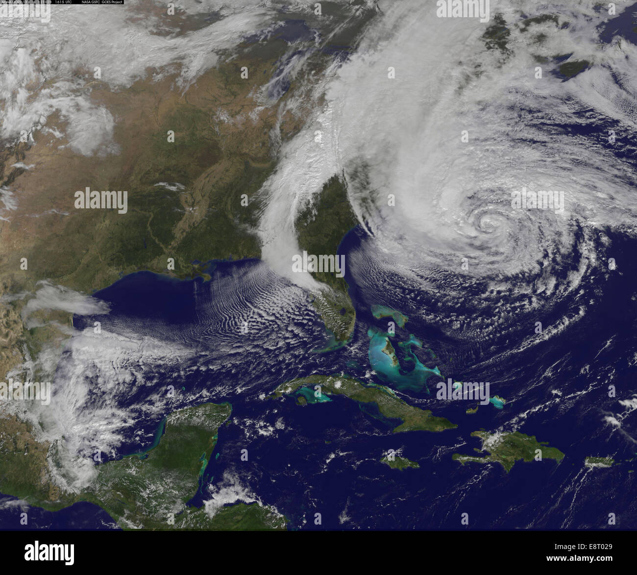 NASA satellites monitored Hurricane Sandy as it intensified and expanded in size. The satellites provided critical data for tracking the storm's path and assessing its impact on affected regions. Stock Photohttps://www.alamy.com/image-license-details/?v=1https://www.alamy.com/stock-photo-nasa-satellites-monitored-hurricane-sandy-as-it-intensified-and-expanded-74285633.html
RME8T029–NASA satellites monitored Hurricane Sandy as it intensified and expanded in size. The satellites provided critical data for tracking the storm's path and assessing its impact on affected regions.
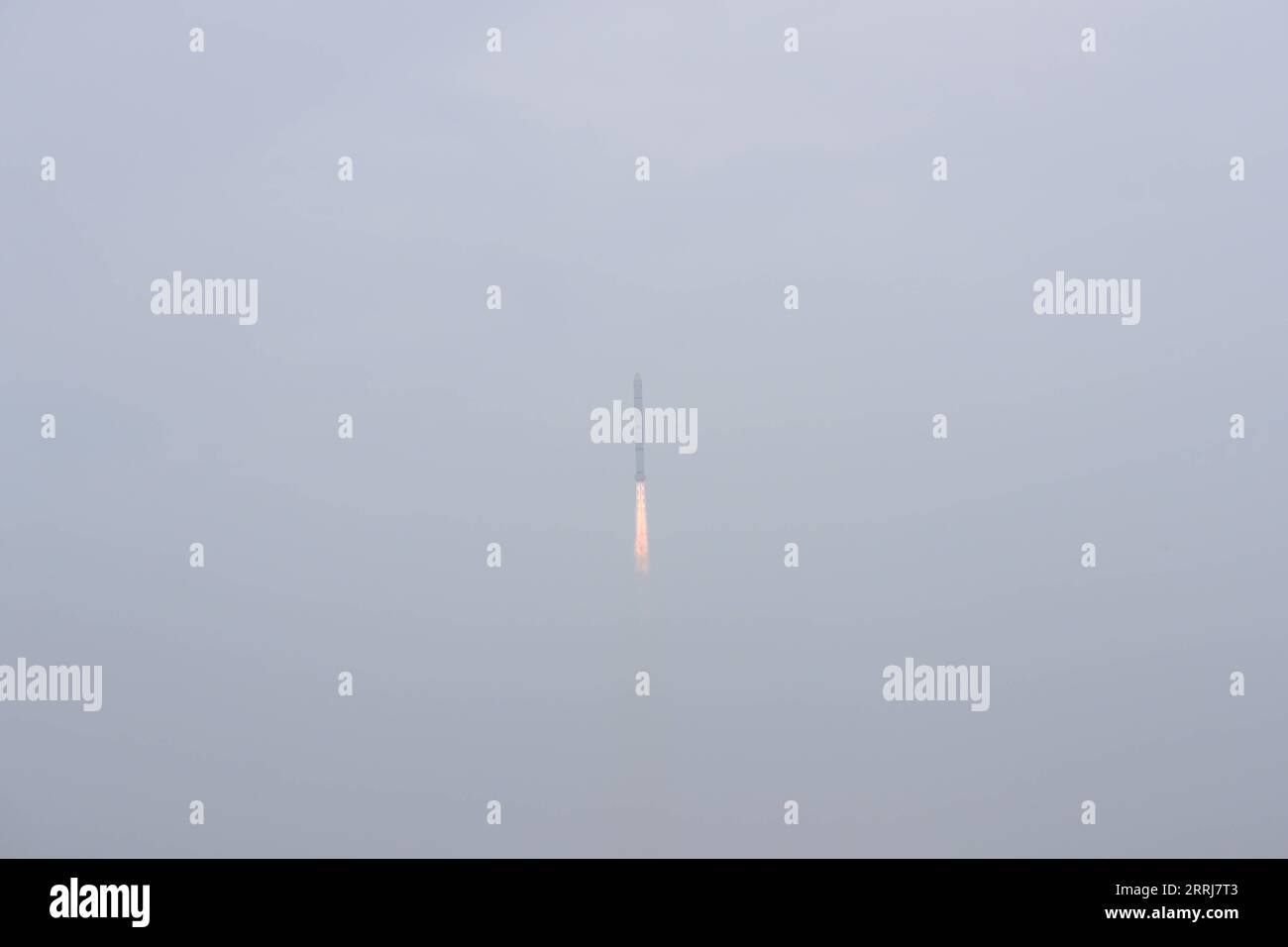 220716 -- TAIYUAN, July 16, 2022 -- A Long March-2C carrier rocket carrying a pair of satellites, Siwei 03 and 04, blasts off from the Taiyuan Satellite Launch Center in north China s Shanxi Province, July 16, 2022. The pair of satellites soon entered the preset orbit and will provide commercial remote sensing services for sectors such as land resources investigation, natural disaster monitoring, urban planning and safety. The mission marked the 427th flight of the Long March carrier rockets. Photo by /Xinhua EyesonSciCHINA-SHANXI-TAIYUAN-SATELLITES-LAUNCH CN ZhengxBin PUBLICATIONxNOTxINxCHN Stock Photohttps://www.alamy.com/image-license-details/?v=1https://www.alamy.com/220716-taiyuan-july-16-2022-a-long-march-2c-carrier-rocket-carrying-a-pair-of-satellites-siwei-03-and-04-blasts-off-from-the-taiyuan-satellite-launch-center-in-north-china-s-shanxi-province-july-16-2022-the-pair-of-satellites-soon-entered-the-preset-orbit-and-will-provide-commercial-remote-sensing-services-for-sectors-such-as-land-resources-investigation-natural-disaster-monitoring-urban-planning-and-safety-the-mission-marked-the-427th-flight-of-the-long-march-carrier-rockets-photo-by-xinhua-eyesonscichina-shanxi-taiyuan-satellites-launch-cn-zhengxbin-publicationxnotxinxchn-image565270163.html
RM2RRJ7T3–220716 -- TAIYUAN, July 16, 2022 -- A Long March-2C carrier rocket carrying a pair of satellites, Siwei 03 and 04, blasts off from the Taiyuan Satellite Launch Center in north China s Shanxi Province, July 16, 2022. The pair of satellites soon entered the preset orbit and will provide commercial remote sensing services for sectors such as land resources investigation, natural disaster monitoring, urban planning and safety. The mission marked the 427th flight of the Long March carrier rockets. Photo by /Xinhua EyesonSciCHINA-SHANXI-TAIYUAN-SATELLITES-LAUNCH CN ZhengxBin PUBLICATIONxNOTxINxCHN
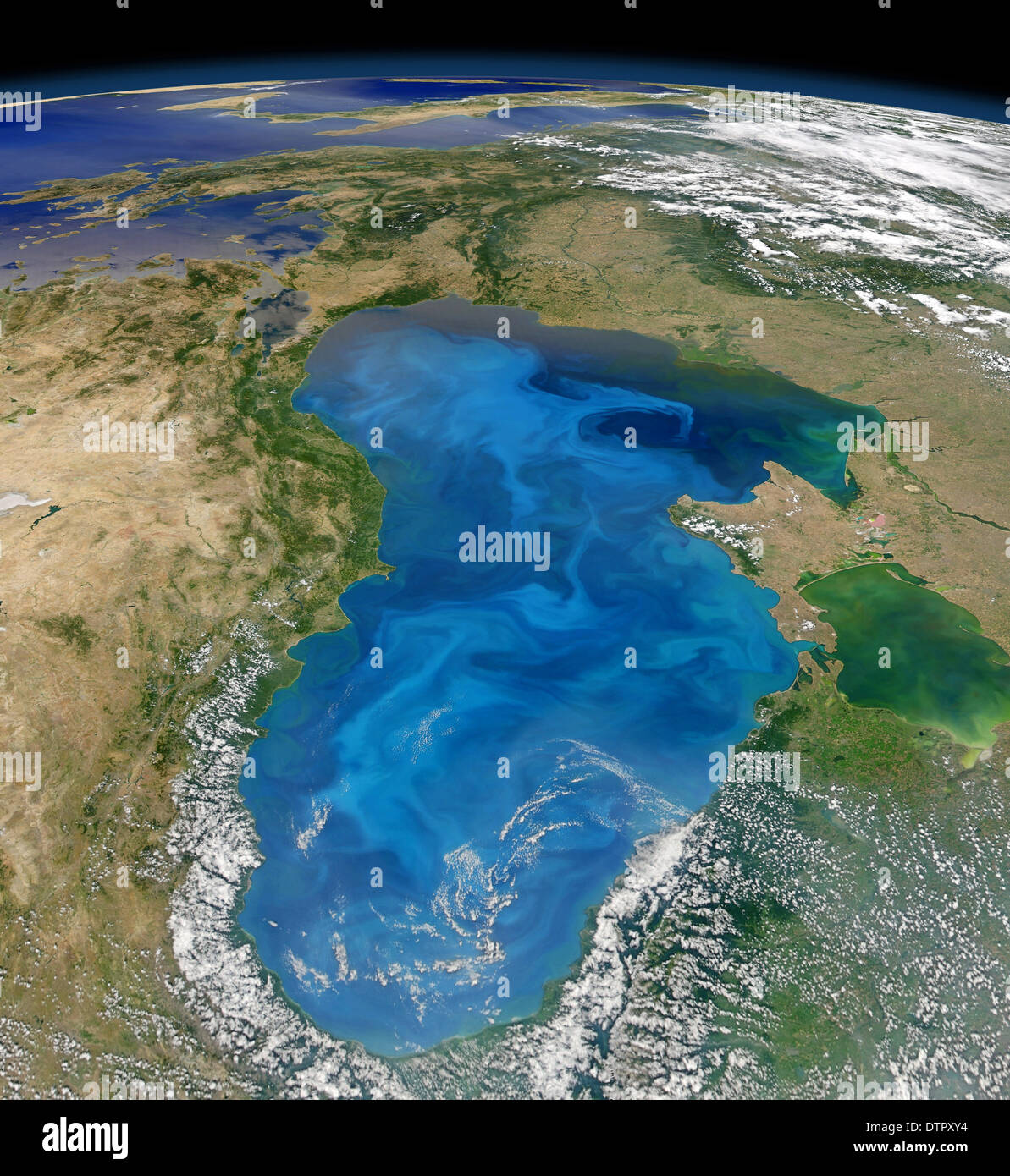 Natural Carbon Dioxide sequestration via phytoplankton in the Black Sea. Stock Photohttps://www.alamy.com/image-license-details/?v=1https://www.alamy.com/natural-carbon-dioxide-sequestration-via-phytoplankton-in-the-black-image66886936.html
RMDTPXY4–Natural Carbon Dioxide sequestration via phytoplankton in the Black Sea.
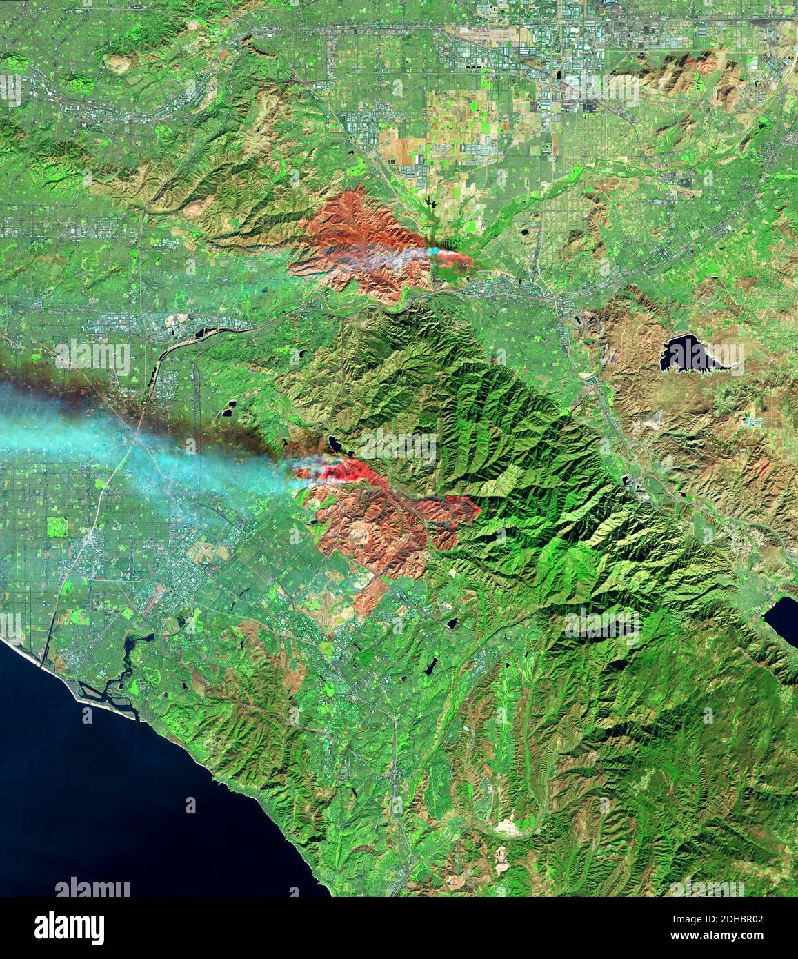 Smoke plumes rise from the Airport and Silverado Canyon wildfires show by the Operational Land Imager on the Landsat 8 satellite December 3, 2020 near Los Angeles, California. Stock Photohttps://www.alamy.com/image-license-details/?v=1https://www.alamy.com/smoke-plumes-rise-from-the-airport-and-silverado-canyon-wildfires-show-by-the-operational-land-imager-on-the-landsat-8-satellite-december-3-2020-near-los-angeles-california-image389336754.html
RM2DHBR02–Smoke plumes rise from the Airport and Silverado Canyon wildfires show by the Operational Land Imager on the Landsat 8 satellite December 3, 2020 near Los Angeles, California.
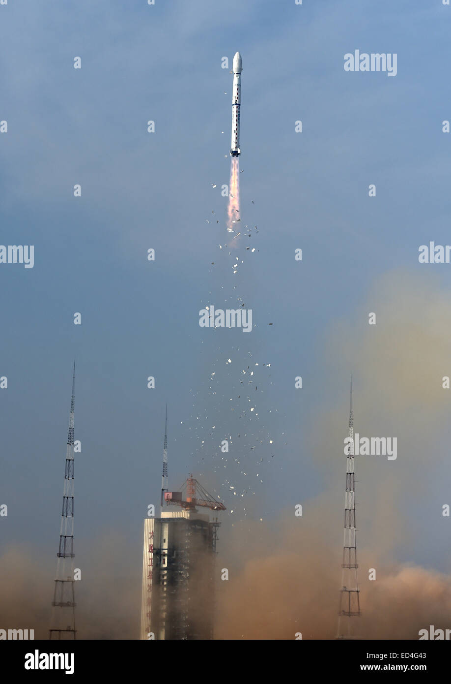 Taiyuan, China's Shanxi Province. 27th Dec, 2014. A Long March-4B rocket carrying the Yaogan-26 remote sensing satellite blasts off from the launch pad at the Taiyuan Satellite Launch Center in Taiyuan, capital of north China's Shanxi Province, Dec. 27, 2014. Yaogan satellites are mainly used for scientific experiments, natural resource surveys, crop yield estimates and disaster relief. Credit: Yan Yan/Xinhua/Alamy Live News Stock Photohttps://www.alamy.com/image-license-details/?v=1https://www.alamy.com/stock-photo-taiyuan-chinas-shanxi-province-27th-dec-2014-a-long-march-4b-rocket-76932467.html
RMED4G43–Taiyuan, China's Shanxi Province. 27th Dec, 2014. A Long March-4B rocket carrying the Yaogan-26 remote sensing satellite blasts off from the launch pad at the Taiyuan Satellite Launch Center in Taiyuan, capital of north China's Shanxi Province, Dec. 27, 2014. Yaogan satellites are mainly used for scientific experiments, natural resource surveys, crop yield estimates and disaster relief. Credit: Yan Yan/Xinhua/Alamy Live News
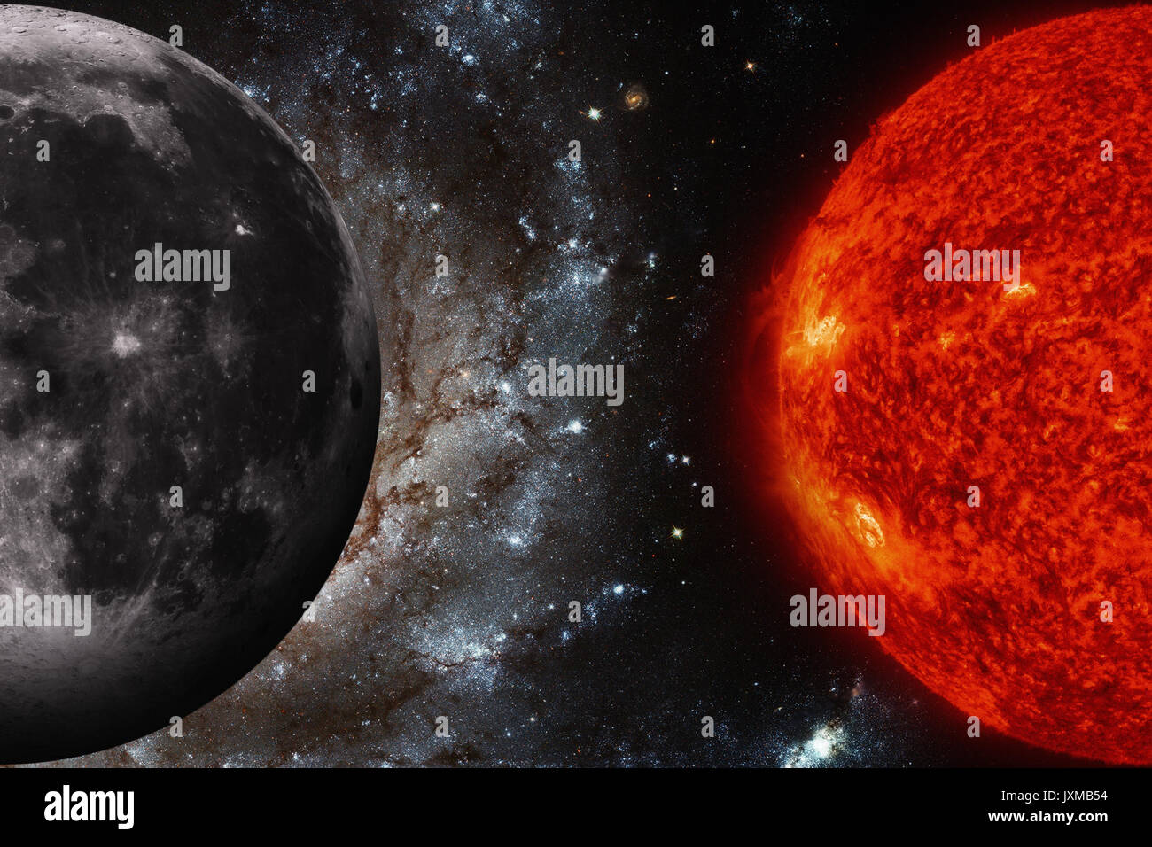 Solar System - Earths Moon. The Moon is Earth's only natural satellite. It is one of the largest natural satellites in the Solar System. Elements of t Stock Photohttps://www.alamy.com/image-license-details/?v=1https://www.alamy.com/solar-system-earths-moon-the-moon-is-earths-only-natural-satellite-image154111808.html
RFJXMB54–Solar System - Earths Moon. The Moon is Earth's only natural satellite. It is one of the largest natural satellites in the Solar System. Elements of t
 Gerard Kuiper, Dutch-American astronomer Stock Photohttps://www.alamy.com/image-license-details/?v=1https://www.alamy.com/stock-photo-gerard-kuiper-dutch-american-astronomer-135088126.html
RMHRNP7X–Gerard Kuiper, Dutch-American astronomer
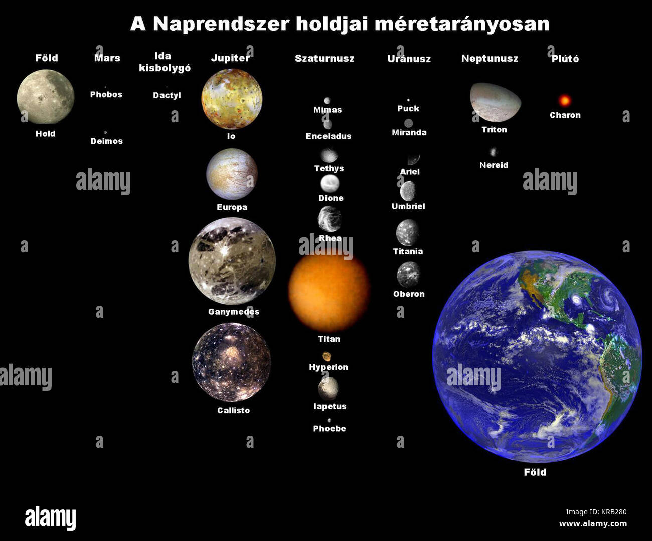 A Naprendszer holdjai Stock Photohttps://www.alamy.com/image-license-details/?v=1https://www.alamy.com/stock-image-a-naprendszer-holdjai-169273664.html
RMKRB280–A Naprendszer holdjai
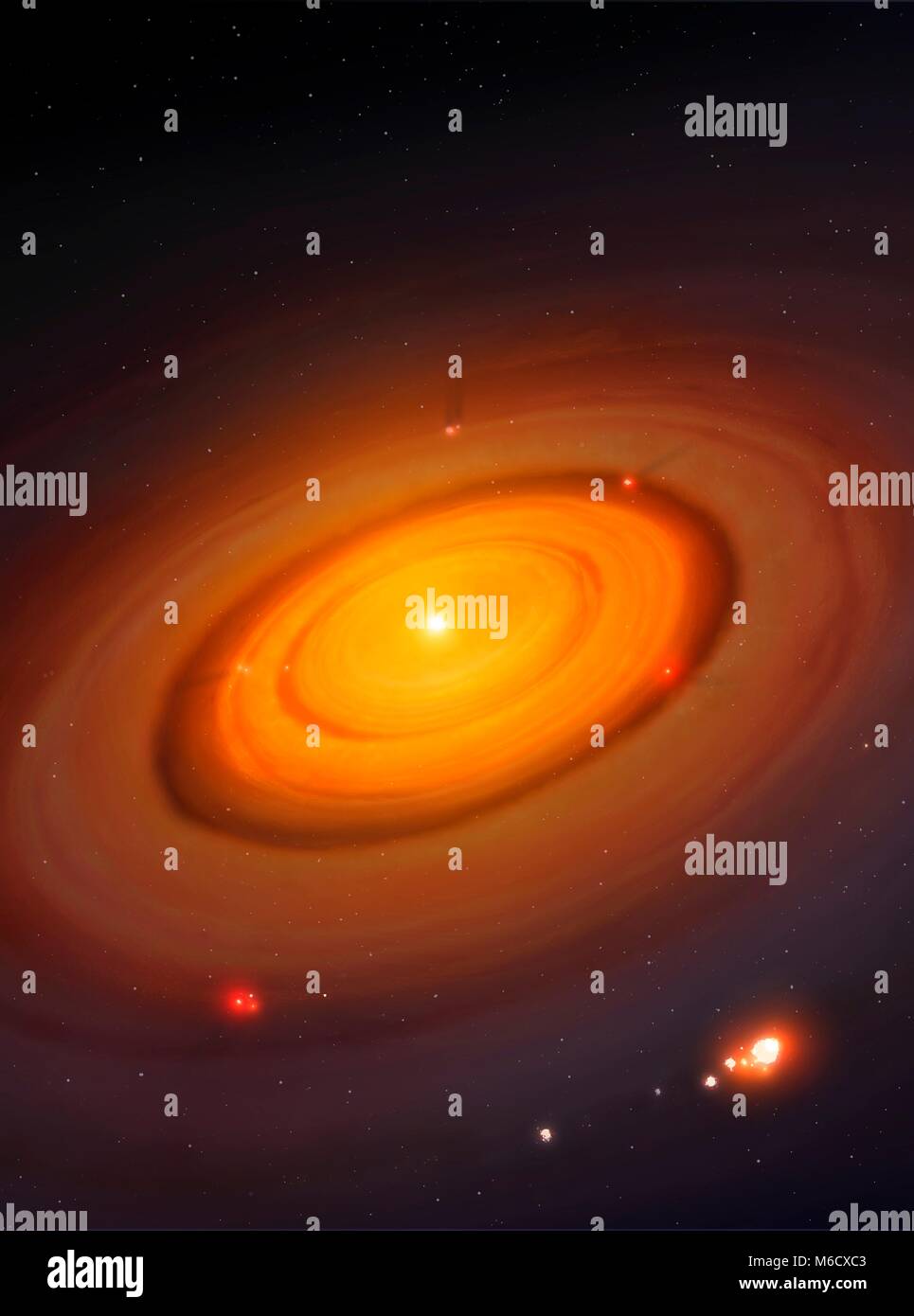 Formation of moons around a gas giant. This is how the moons of Jupiter and Saturn, and possibly Uranus, are thought to have formed. The planet is in the centre, still growing. A concentric disc surrounds it, inside of which the natural satellites are forming via the process of accretion. The illustration could also show the formation of planets around a star, which was a similar process albeit on a far larger scale. Stock Photohttps://www.alamy.com/image-license-details/?v=1https://www.alamy.com/stock-photo-formation-of-moons-around-a-gas-giant-this-is-how-the-moons-of-jupiter-176075763.html
RFM6CXC3–Formation of moons around a gas giant. This is how the moons of Jupiter and Saturn, and possibly Uranus, are thought to have formed. The planet is in the centre, still growing. A concentric disc surrounds it, inside of which the natural satellites are forming via the process of accretion. The illustration could also show the formation of planets around a star, which was a similar process albeit on a far larger scale.
 Mainz, Germany. Waxing Gibbous Moon. Stock Photohttps://www.alamy.com/image-license-details/?v=1https://www.alamy.com/mainz-germany-waxing-gibbous-moon-image617724964.html
RF2XTYPDT–Mainz, Germany. Waxing Gibbous Moon.
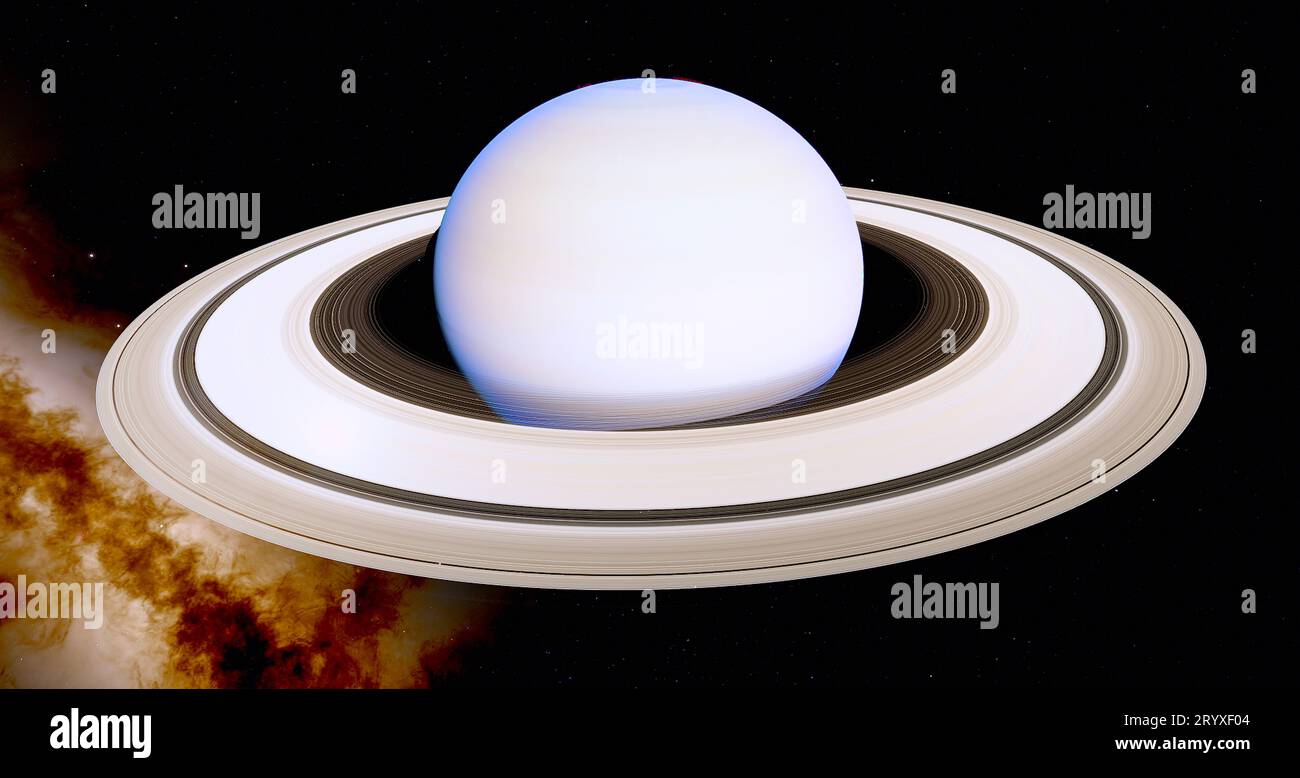 Saturn is the sixth planet in our Solar System and has 146 moons which look like diamonds through a telescope. Stock Photohttps://www.alamy.com/image-license-details/?v=1https://www.alamy.com/saturn-is-the-sixth-planet-in-our-solar-system-and-has-146-moons-which-look-like-diamonds-through-a-telescope-image567910004.html
RF2RYXF04–Saturn is the sixth planet in our Solar System and has 146 moons which look like diamonds through a telescope.
 Waning gibbous moon among the cliffs. Stock Photohttps://www.alamy.com/image-license-details/?v=1https://www.alamy.com/waning-gibbous-moon-among-the-cliffs-image483378925.html
RF2K2BPN1–Waning gibbous moon among the cliffs.
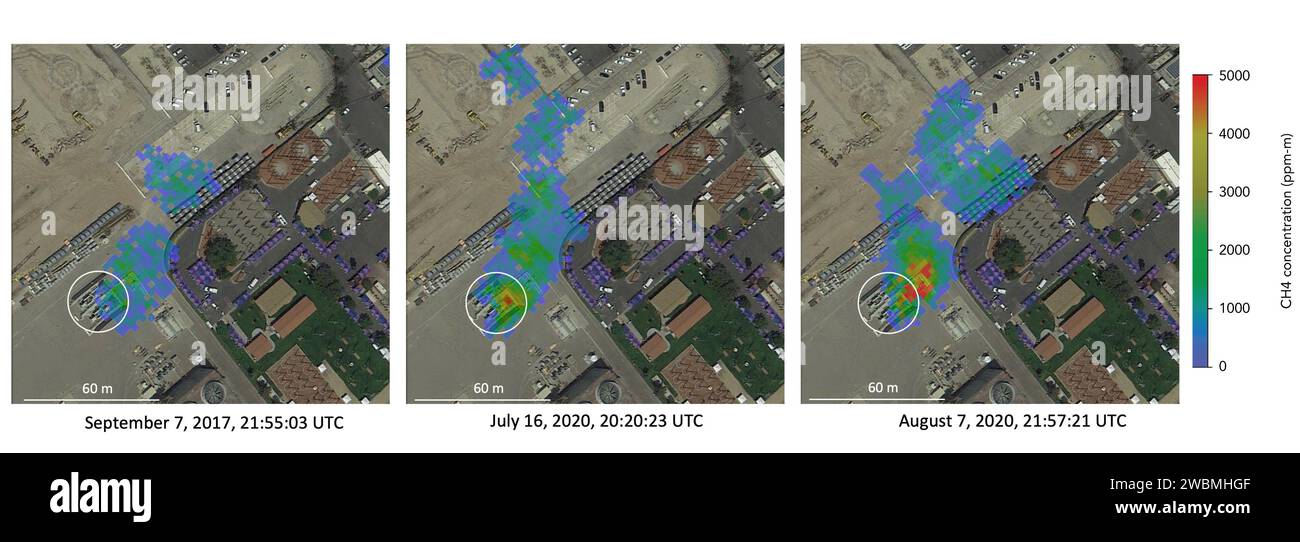 Atmospheric methane is a potent greenhouse gas and an important contributor to air quality. Future instruments on orbiting satellites can help improve our understanding of important methane emission sources. NASA conducts periodic methane studies using the next-generation Airborne Visible/Infrared Imaging Spectrometer (AVIRIS-NG) instrument. These studies are determining the locations and magnitudes of the largest methane emission sources across California, including those associated with landfills, refineries, dairies, wastewater treatment plants, oil and gas fields, power plants, and natural Stock Photohttps://www.alamy.com/image-license-details/?v=1https://www.alamy.com/atmospheric-methane-is-a-potent-greenhouse-gas-and-an-important-contributor-to-air-quality-future-instruments-on-orbiting-satellites-can-help-improve-our-understanding-of-important-methane-emission-sources-nasa-conducts-periodic-methane-studies-using-the-next-generation-airborne-visibleinfrared-imaging-spectrometer-aviris-ng-instrument-these-studies-are-determining-the-locations-and-magnitudes-of-the-largest-methane-emission-sources-across-california-including-those-associated-with-landfills-refineries-dairies-wastewater-treatment-plants-oil-and-gas-fields-power-plants-and-natural-image592366559.html
RM2WBMHGF–Atmospheric methane is a potent greenhouse gas and an important contributor to air quality. Future instruments on orbiting satellites can help improve our understanding of important methane emission sources. NASA conducts periodic methane studies using the next-generation Airborne Visible/Infrared Imaging Spectrometer (AVIRIS-NG) instrument. These studies are determining the locations and magnitudes of the largest methane emission sources across California, including those associated with landfills, refineries, dairies, wastewater treatment plants, oil and gas fields, power plants, and natural
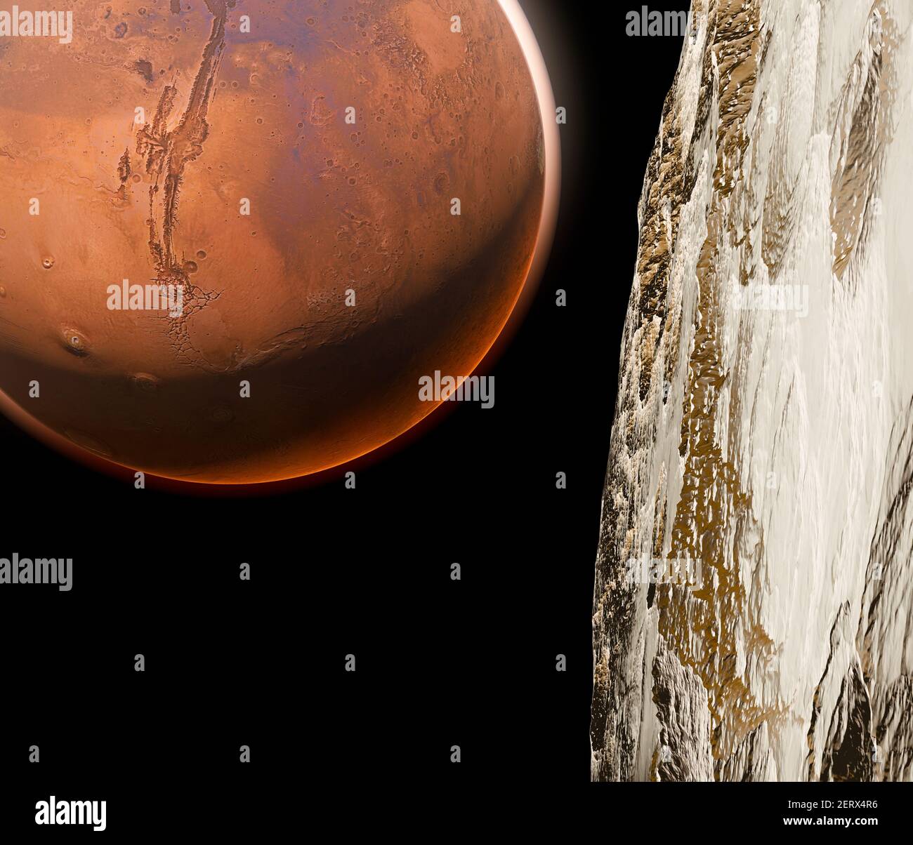 View of Mars seen from Phobos, Deimos the two moons of Mars, natural satellites orbiting the Red Planet. Exploration. Discoveries. 3d render Stock Photohttps://www.alamy.com/image-license-details/?v=1https://www.alamy.com/view-of-mars-seen-from-phobos-deimos-the-two-moons-of-mars-natural-satellites-orbiting-the-red-planet-exploration-discoveries-3d-render-image410550090.html
RF2ERX4R6–View of Mars seen from Phobos, Deimos the two moons of Mars, natural satellites orbiting the Red Planet. Exploration. Discoveries. 3d render
![Infographic on the Moon: its atmosphere, composition, lunar movements, lunar phases and more. [Adobe InDesign (.indd); 7086x9637]. Stock Photo Infographic on the Moon: its atmosphere, composition, lunar movements, lunar phases and more. [Adobe InDesign (.indd); 7086x9637]. Stock Photo](https://c8.alamy.com/comp/2NEC33W/infographic-on-the-moon-its-atmosphere-composition-lunar-movements-lunar-phases-and-more-adobe-indesign-indd-7086x9637-2NEC33W.jpg) Infographic on the Moon: its atmosphere, composition, lunar movements, lunar phases and more. [Adobe InDesign (.indd); 7086x9637]. Stock Photohttps://www.alamy.com/image-license-details/?v=1https://www.alamy.com/infographic-on-the-moon-its-atmosphere-composition-lunar-movements-lunar-phases-and-more-adobe-indesign-indd-7086x9637-image525182109.html
Infographic on the Moon: its atmosphere, composition, lunar movements, lunar phases and more. [Adobe InDesign (.indd); 7086x9637]. Stock Photohttps://www.alamy.com/image-license-details/?v=1https://www.alamy.com/infographic-on-the-moon-its-atmosphere-composition-lunar-movements-lunar-phases-and-more-adobe-indesign-indd-7086x9637-image525182109.htmlRM2NEC33W–Infographic on the Moon: its atmosphere, composition, lunar movements, lunar phases and more. [Adobe InDesign (.indd); 7086x9637].
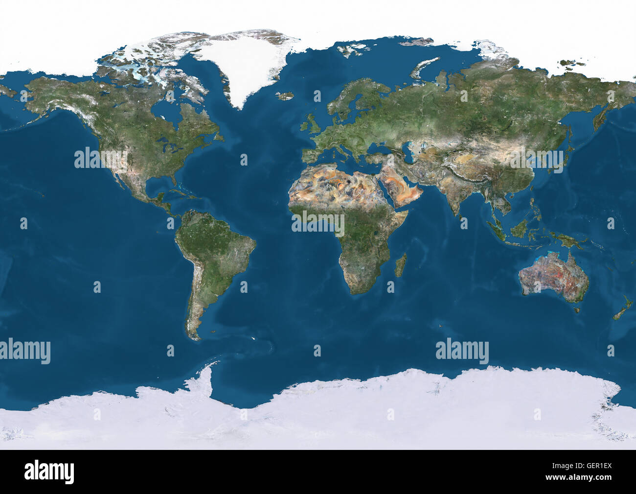 True natural colour satellite image of the Earth, with Arctic ice cap. This image was compiled from data acquired by Landsat satellites. Stock Photohttps://www.alamy.com/image-license-details/?v=1https://www.alamy.com/stock-photo-true-natural-colour-satellite-image-of-the-earth-with-arctic-ice-cap-112373490.html
RMGER1EX–True natural colour satellite image of the Earth, with Arctic ice cap. This image was compiled from data acquired by Landsat satellites.
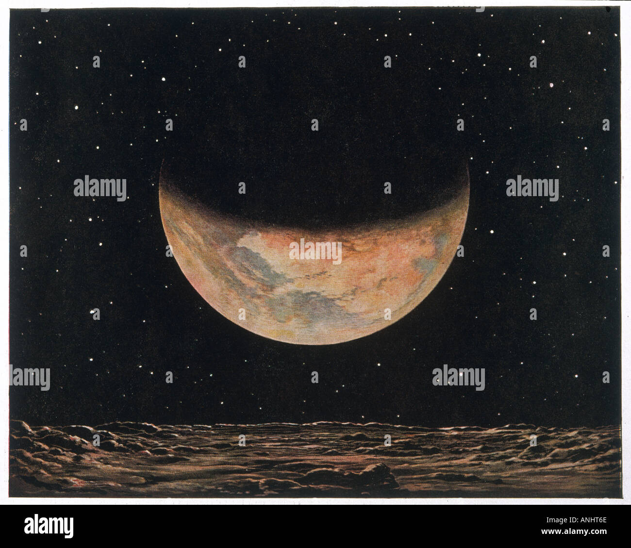 Planet Mars Stock Photohttps://www.alamy.com/image-license-details/?v=1https://www.alamy.com/planet-mars-image5071981.html
RMANHT6E–Planet Mars
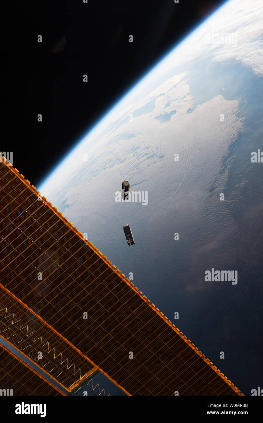 CubeSats fly free after leaving the NanoRacks CubeSat Deployer on the International Space Station on May 17, 2016. Seen here are two Dove satellites, part of a constellation designed, built and operated by Planet Labs Inc. to take images of Earth from space. The images have several humanitarian and environmental applications, from monitoring deforestation and urbanization to improving natural disaster relief and agricultural yields in developing nations. CubeSats are a new, low-cost tool designed to take narrowly targeted scientific observations, with only a few instruments, often built from o Stock Photohttps://www.alamy.com/image-license-details/?v=1https://www.alamy.com/cubesats-fly-free-after-leaving-the-nanoracks-cubesat-deployer-on-the-international-space-station-on-may-17-2016-seen-here-are-two-dove-satellites-part-of-a-constellation-designed-built-and-operated-by-planet-labs-inc-to-take-images-of-earth-from-space-the-images-have-several-humanitarian-and-environmental-applications-from-monitoring-deforestation-and-urbanization-to-improving-natural-disaster-relief-and-agricultural-yields-in-developing-nations-cubesats-are-a-new-low-cost-tool-designed-to-take-narrowly-targeted-scientific-observations-with-only-a-few-instruments-often-built-from-o-image258612127.html
RMW0MPBB–CubeSats fly free after leaving the NanoRacks CubeSat Deployer on the International Space Station on May 17, 2016. Seen here are two Dove satellites, part of a constellation designed, built and operated by Planet Labs Inc. to take images of Earth from space. The images have several humanitarian and environmental applications, from monitoring deforestation and urbanization to improving natural disaster relief and agricultural yields in developing nations. CubeSats are a new, low-cost tool designed to take narrowly targeted scientific observations, with only a few instruments, often built from o
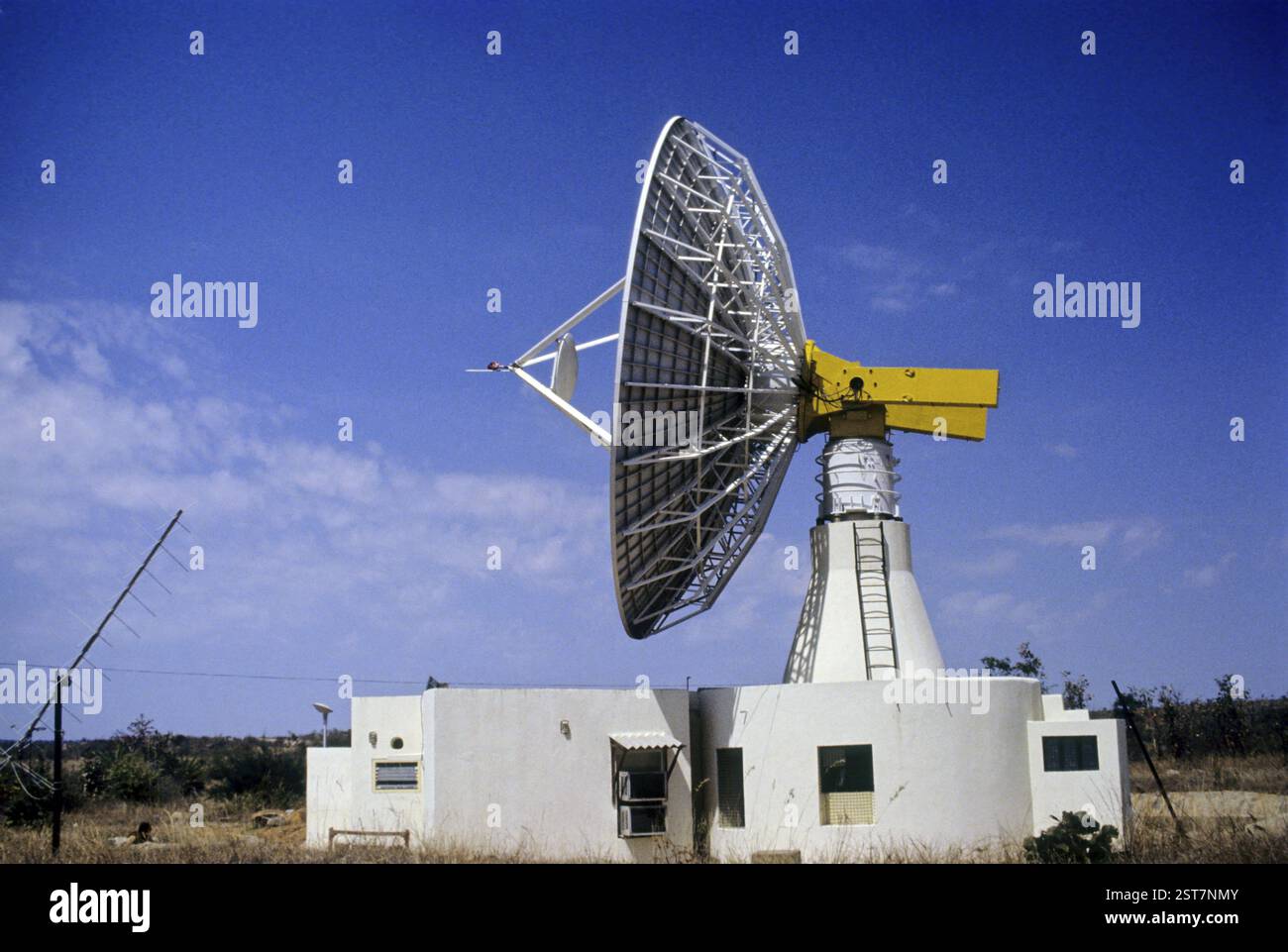 Dish Antenna, india Stock Photohttps://www.alamy.com/image-license-details/?v=1https://www.alamy.com/dish-antenna-india-image651706075.html
RM2ST7NMY–Dish Antenna, india
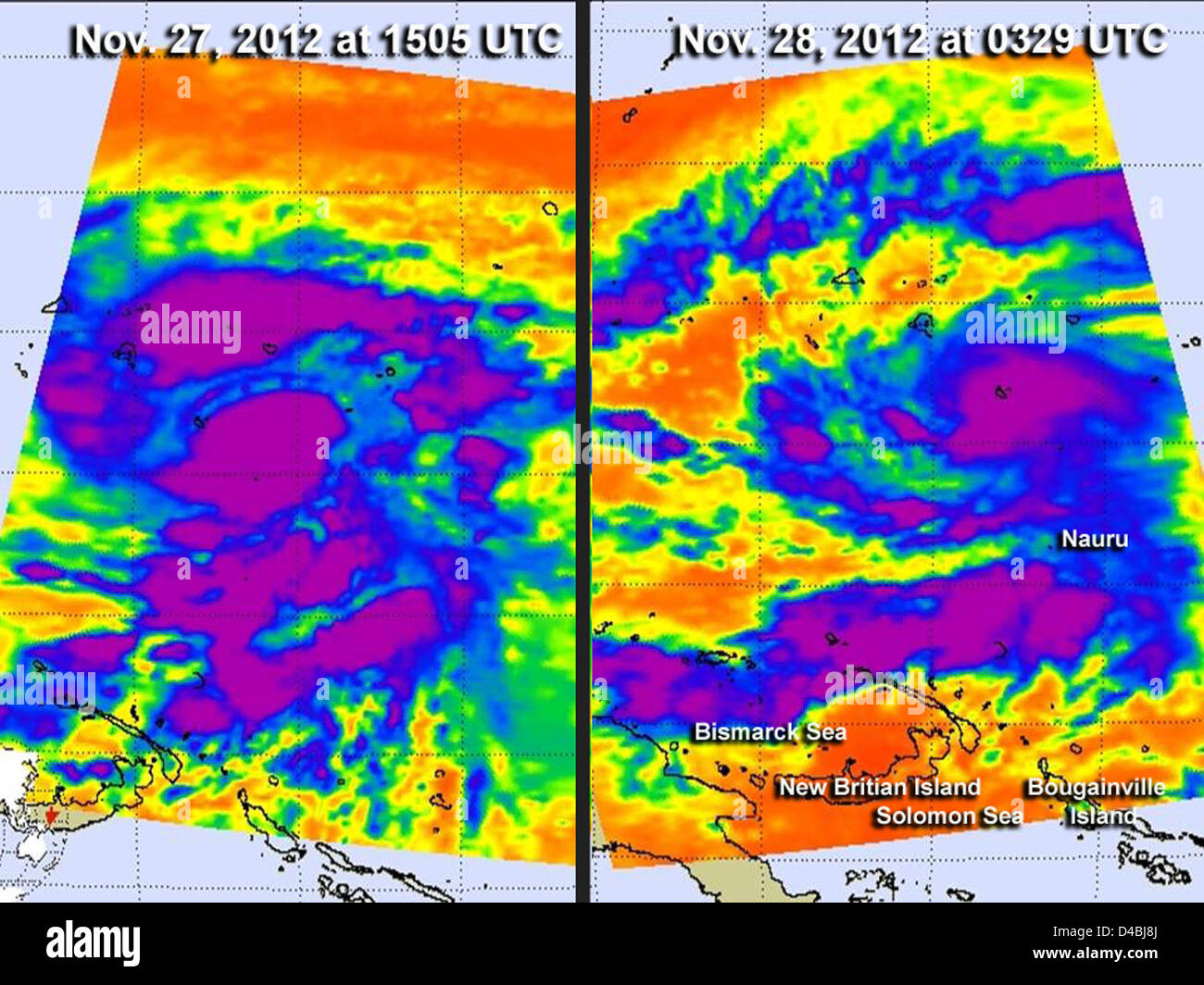 NASA satellites monitored Typhoon Bopha as it approached the Philippines, providing crucial weather data. The satellites captured images to assist in storm tracking and forecasting, vital for disaster preparedness and response. Stock Photohttps://www.alamy.com/image-license-details/?v=1https://www.alamy.com/stock-photo-nasa-satellites-monitored-typhoon-bopha-as-it-approached-the-philippines-54345554.html
RMD4BJ8J–NASA satellites monitored Typhoon Bopha as it approached the Philippines, providing crucial weather data. The satellites captured images to assist in storm tracking and forecasting, vital for disaster preparedness and response.
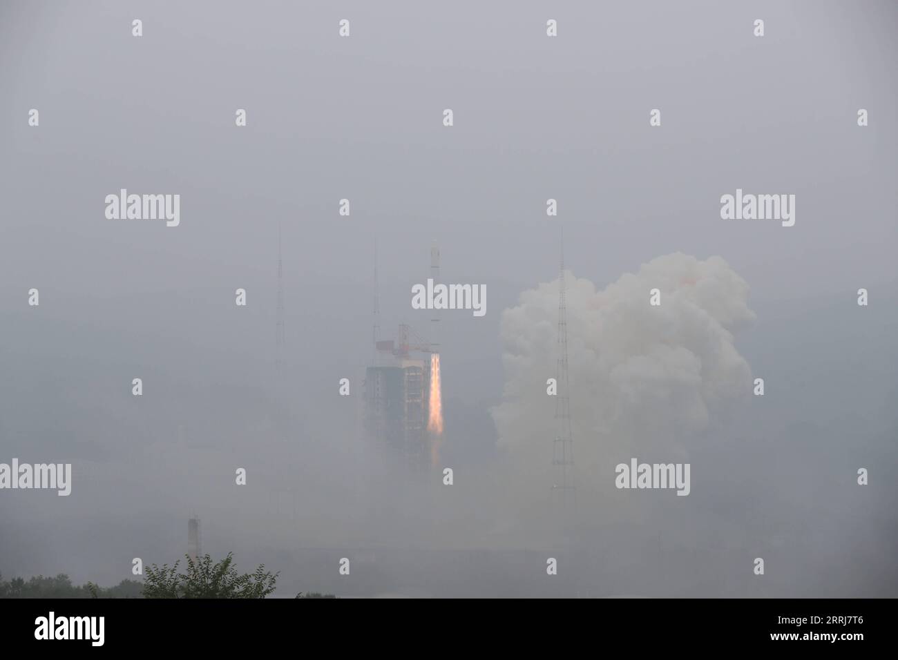 220716 -- TAIYUAN, July 16, 2022 -- A Long March-2C carrier rocket carrying a pair of satellites, Siwei 03 and 04, blasts off from the Taiyuan Satellite Launch Center in north China s Shanxi Province, July 16, 2022. The pair of satellites soon entered the preset orbit and will provide commercial remote sensing services for sectors such as land resources investigation, natural disaster monitoring, urban planning and safety. The mission marked the 427th flight of the Long March carrier rockets. Photo by /Xinhua EyesonSciCHINA-SHANXI-TAIYUAN-SATELLITES-LAUNCH CN ZhengxBin PUBLICATIONxNOTxINxCHN Stock Photohttps://www.alamy.com/image-license-details/?v=1https://www.alamy.com/220716-taiyuan-july-16-2022-a-long-march-2c-carrier-rocket-carrying-a-pair-of-satellites-siwei-03-and-04-blasts-off-from-the-taiyuan-satellite-launch-center-in-north-china-s-shanxi-province-july-16-2022-the-pair-of-satellites-soon-entered-the-preset-orbit-and-will-provide-commercial-remote-sensing-services-for-sectors-such-as-land-resources-investigation-natural-disaster-monitoring-urban-planning-and-safety-the-mission-marked-the-427th-flight-of-the-long-march-carrier-rockets-photo-by-xinhua-eyesonscichina-shanxi-taiyuan-satellites-launch-cn-zhengxbin-publicationxnotxinxchn-image565270166.html
RM2RRJ7T6–220716 -- TAIYUAN, July 16, 2022 -- A Long March-2C carrier rocket carrying a pair of satellites, Siwei 03 and 04, blasts off from the Taiyuan Satellite Launch Center in north China s Shanxi Province, July 16, 2022. The pair of satellites soon entered the preset orbit and will provide commercial remote sensing services for sectors such as land resources investigation, natural disaster monitoring, urban planning and safety. The mission marked the 427th flight of the Long March carrier rockets. Photo by /Xinhua EyesonSciCHINA-SHANXI-TAIYUAN-SATELLITES-LAUNCH CN ZhengxBin PUBLICATIONxNOTxINxCHN
 Antenna for telecommunications at Cima Panarotta (m 2002), Levico Terme, Trentino South Tyrol, Italy Stock Photohttps://www.alamy.com/image-license-details/?v=1https://www.alamy.com/stock-photo-antenna-for-telecommunications-at-cima-panarotta-m-2002-levico-terme-177384705.html
RFM8GG01–Antenna for telecommunications at Cima Panarotta (m 2002), Levico Terme, Trentino South Tyrol, Italy
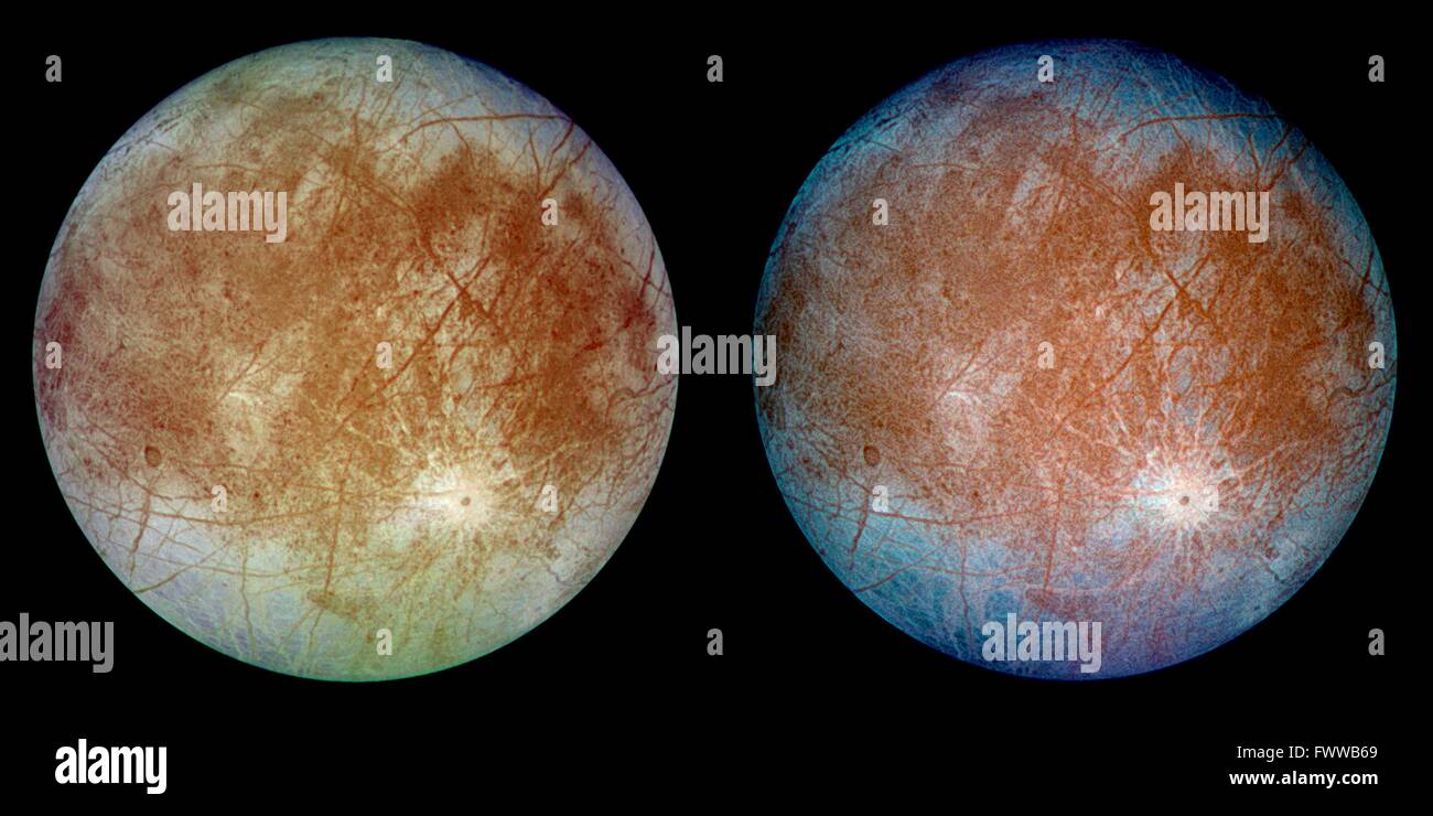 This image shows a view of the trailing hemisphere of Jupiter's ice-covered satellite, Europa, in approximate natural color. Long, dark lines are fractures in the crust, some of which are more than 3,000 kilometers long. The bright feature containing a central dark spot in the lower third of the image is a young impact crater some 50 kilometers in diameter. Europa is about 3,160 kilometers in diameter, or about the size of Earth's moon. This image was taken on September 7, 1996, at a range of 677,000 kilometers by the solid state imaging television camera onboard the Galileo spacecraft. Stock Photohttps://www.alamy.com/image-license-details/?v=1https://www.alamy.com/stock-photo-this-image-shows-a-view-of-the-trailing-hemisphere-of-jupiters-ice-101975841.html
RMFWWB69–This image shows a view of the trailing hemisphere of Jupiter's ice-covered satellite, Europa, in approximate natural color. Long, dark lines are fractures in the crust, some of which are more than 3,000 kilometers long. The bright feature containing a central dark spot in the lower third of the image is a young impact crater some 50 kilometers in diameter. Europa is about 3,160 kilometers in diameter, or about the size of Earth's moon. This image was taken on September 7, 1996, at a range of 677,000 kilometers by the solid state imaging television camera onboard the Galileo spacecraft.
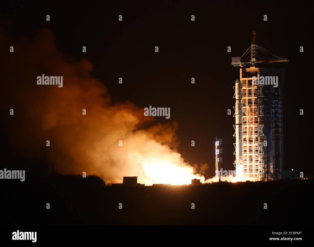 Jiuquan, China's Gansu Province. 11th Dec, 2014. A Chinese Long March-4C rocket carrying the Yaogan-25 remote sensing satellite blasts off from the launch pad at the Jiuquan Satellite Launch Center in Jiuquan, northwest China's Gansu Province, Dec. 11, 2014. It was the 201st mission for the Long March rocket technology. Yaogan satellites are mainly used for scientific experiments, natural resource surveys, crop yield estimates and disaster relief. Credit: Yan Yan/Xinhua/Alamy Live News Stock Photohttps://www.alamy.com/image-license-details/?v=1https://www.alamy.com/stock-photo-jiuquan-chinas-gansu-province-11th-dec-2014-a-chinese-long-march-4c-76410792.html
RMEC8PMT–Jiuquan, China's Gansu Province. 11th Dec, 2014. A Chinese Long March-4C rocket carrying the Yaogan-25 remote sensing satellite blasts off from the launch pad at the Jiuquan Satellite Launch Center in Jiuquan, northwest China's Gansu Province, Dec. 11, 2014. It was the 201st mission for the Long March rocket technology. Yaogan satellites are mainly used for scientific experiments, natural resource surveys, crop yield estimates and disaster relief. Credit: Yan Yan/Xinhua/Alamy Live News
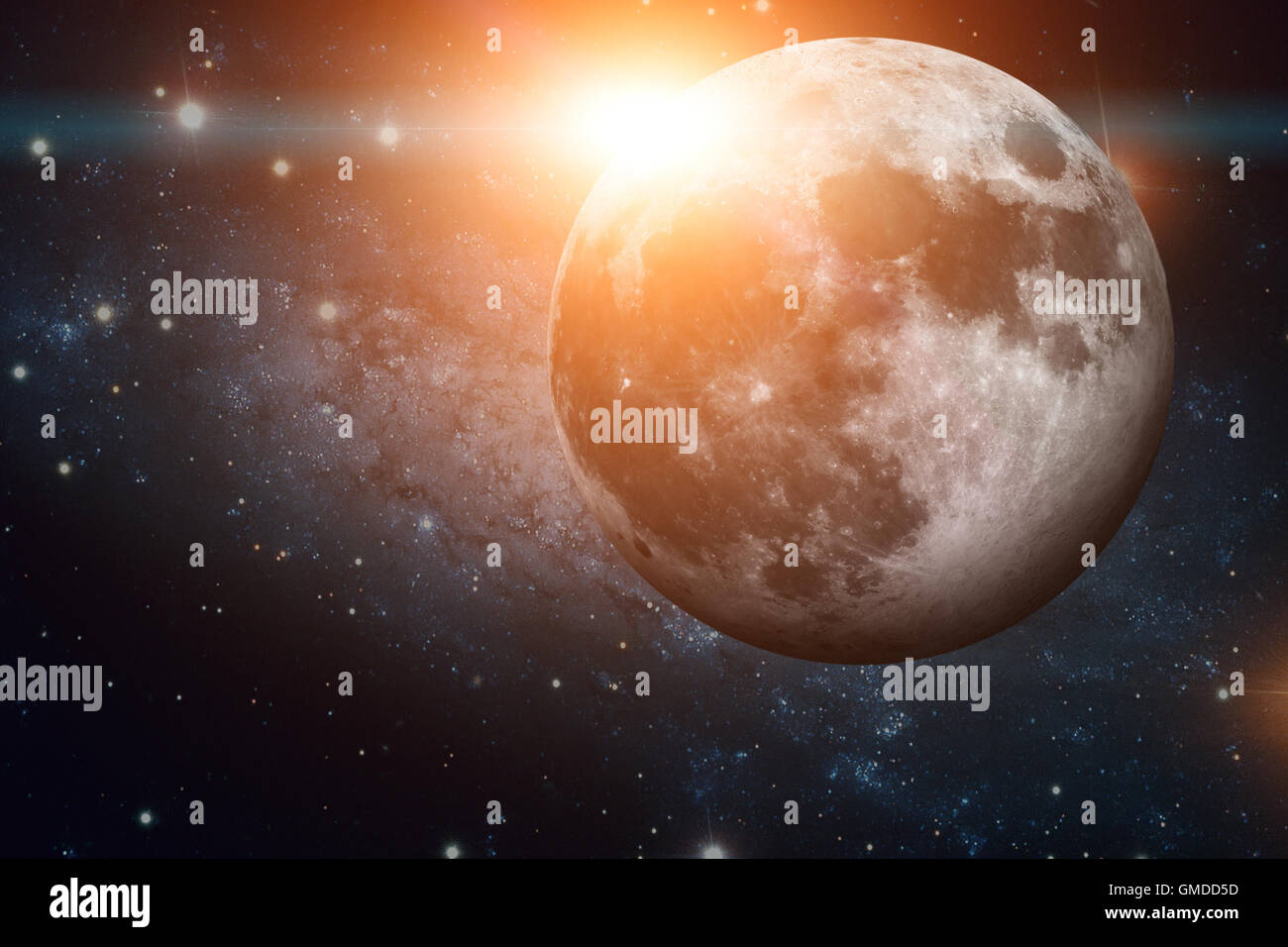 Solar System - Earths Moon. The Moon is Earth's only natural satellite. It is one of the largest natural satellites. Stock Photohttps://www.alamy.com/image-license-details/?v=1https://www.alamy.com/stock-photo-solar-system-earths-moon-the-moon-is-earths-only-natural-satellite-115851049.html
RFGMDD5D–Solar System - Earths Moon. The Moon is Earth's only natural satellite. It is one of the largest natural satellites.
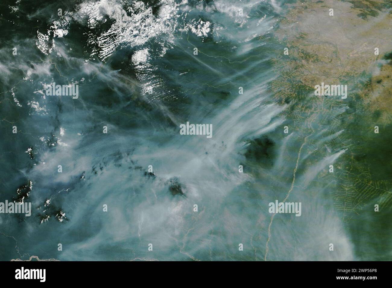 Brazil. 22nd Feb, 2024. Roraima, Brazil's northernmost state, has a wet climate, which helps rainforests thrive and suppresses the natural occurrence of forest fires, even during the dry season. Nonetheless, remote sensing scientists have observed fires in this northern Amazon region for as long as satellite observations have been available, especially during the drier months of October through March. Most are management fires, ignited for purposes such as burning pastures and agricultural areas or clearing rainforest. In the second half of February 2024, NASA satellites observed unusuall Stock Photohttps://www.alamy.com/image-license-details/?v=1https://www.alamy.com/brazil-22nd-feb-2024-roraima-brazils-northernmost-state-has-a-wet-climate-which-helps-rainforests-thrive-and-suppresses-the-natural-occurrence-of-forest-fires-even-during-the-dry-season-nonetheless-remote-sensing-scientists-have-observed-fires-in-this-northern-amazon-region-for-as-long-as-satellite-observations-have-been-available-especially-during-the-drier-months-of-october-through-march-most-are-management-fires-ignited-for-purposes-such-as-burning-pastures-and-agricultural-areas-or-clearing-rainforest-in-the-second-half-of-february-2024-nasa-satellites-observed-unusuall-image598790032.html
RM2WP56P8–Brazil. 22nd Feb, 2024. Roraima, Brazil's northernmost state, has a wet climate, which helps rainforests thrive and suppresses the natural occurrence of forest fires, even during the dry season. Nonetheless, remote sensing scientists have observed fires in this northern Amazon region for as long as satellite observations have been available, especially during the drier months of October through March. Most are management fires, ignited for purposes such as burning pastures and agricultural areas or clearing rainforest. In the second half of February 2024, NASA satellites observed unusuall
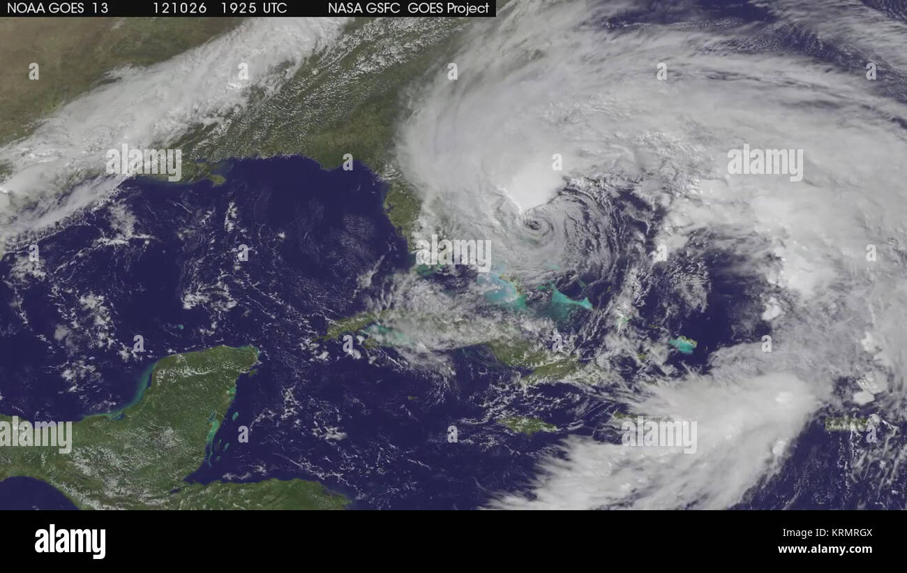 NASA Satellites See Sandy Expand as Storm Intensifies (video) (8131445256) Stock Photohttps://www.alamy.com/image-license-details/?v=1https://www.alamy.com/stock-image-nasa-satellites-see-sandy-expand-as-storm-intensifies-video-8131445256-169487946.html
RMKRMRGX–NASA Satellites See Sandy Expand as Storm Intensifies (video) (8131445256)
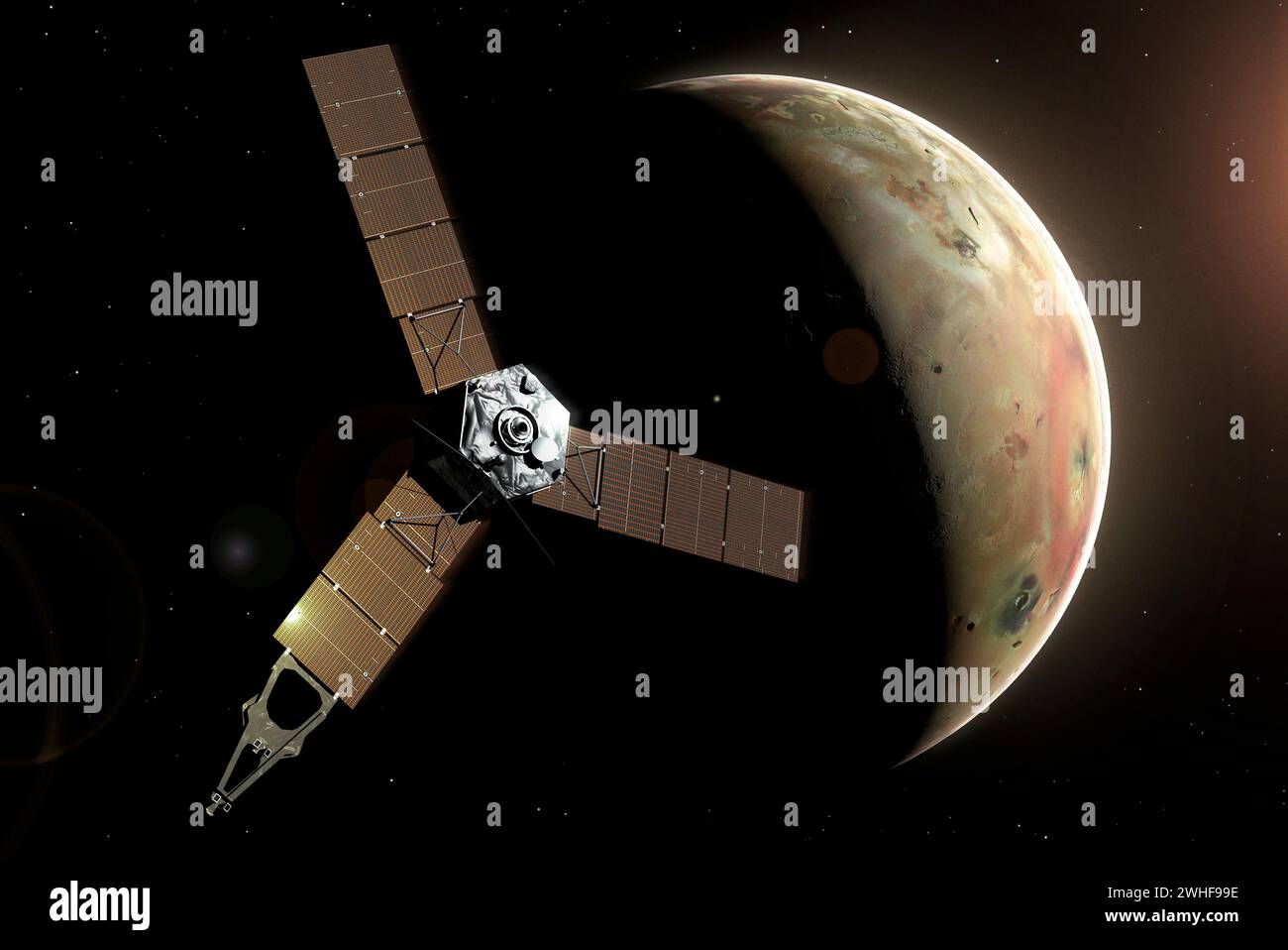 Artwork of Juno at Io Stock Photohttps://www.alamy.com/image-license-details/?v=1https://www.alamy.com/artwork-of-juno-at-io-image595938266.html
RF2WHF99E–Artwork of Juno at Io
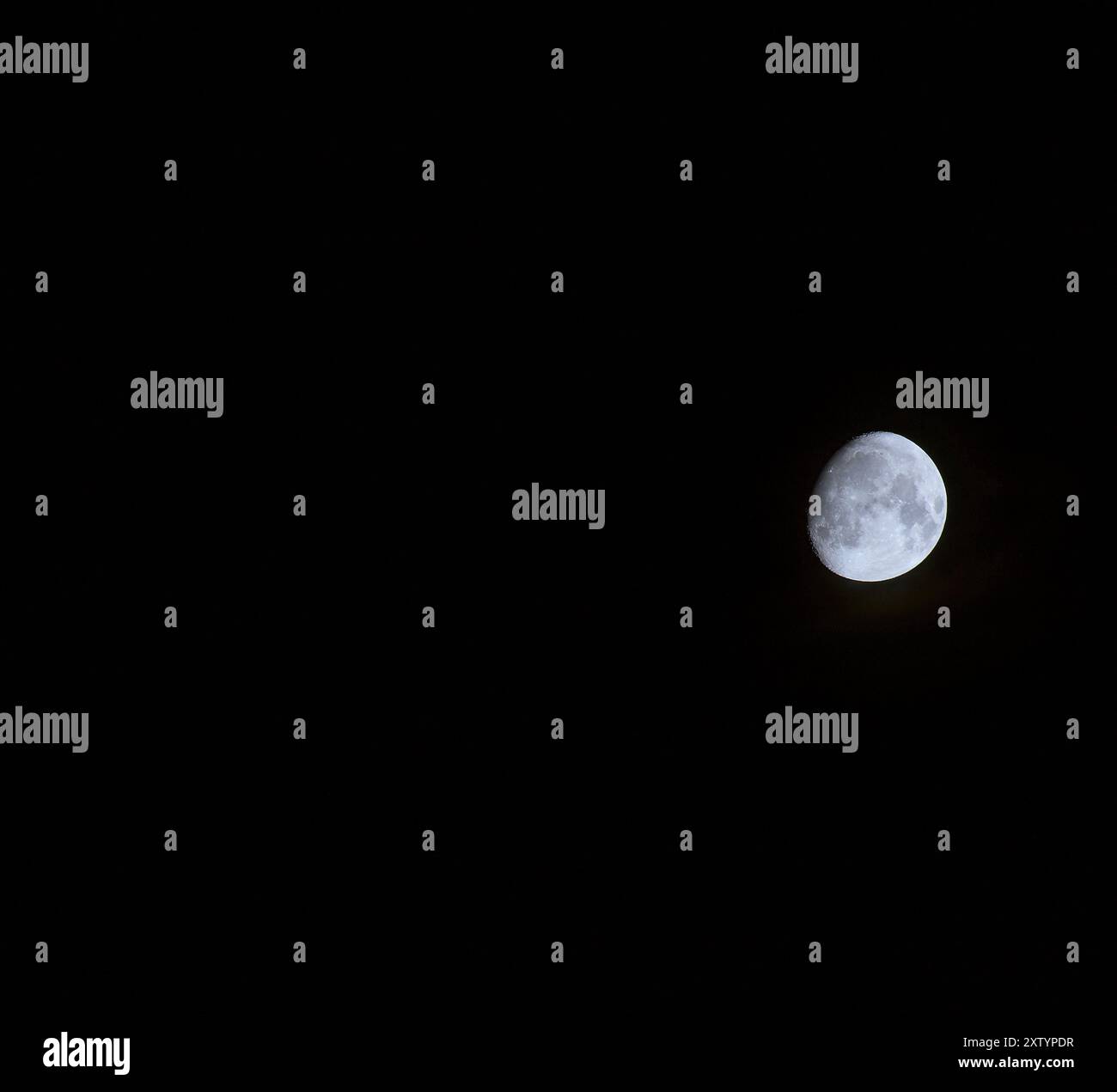 Mainz, Germany. Waxing Gibbous Moon. Stock Photohttps://www.alamy.com/image-license-details/?v=1https://www.alamy.com/mainz-germany-waxing-gibbous-moon-image617724963.html
RF2XTYPDR–Mainz, Germany. Waxing Gibbous Moon.
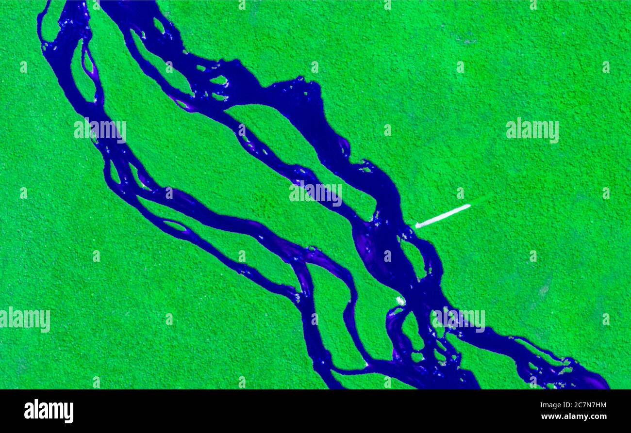 High resolution satellite image showing areas of pure and virgin tropical forest and a river running through it. data sentinel Stock Photohttps://www.alamy.com/image-license-details/?v=1https://www.alamy.com/high-resolution-satellite-image-showing-areas-of-pure-and-virgin-tropical-forest-and-a-river-running-through-it-data-sentinel-image366187296.html
RM2C7N7HM–High resolution satellite image showing areas of pure and virgin tropical forest and a river running through it. data sentinel
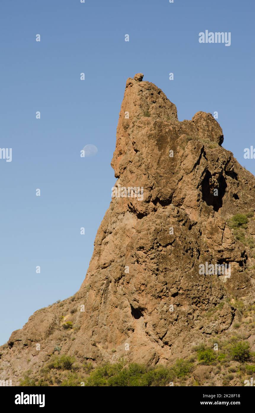 Rocky cliff and moon in the background. Stock Photohttps://www.alamy.com/image-license-details/?v=1https://www.alamy.com/rocky-cliff-and-moon-in-the-background-image483307028.html
RF2K28F18–Rocky cliff and moon in the background.
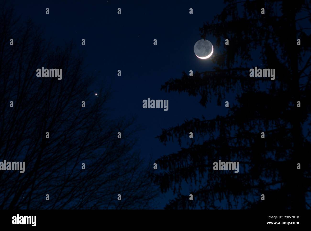 Earthshine and Jupiter in the dusk Stock Photohttps://www.alamy.com/image-license-details/?v=1https://www.alamy.com/earthshine-and-jupiter-in-the-dusk-image617883627.html
RF2XW70TB–Earthshine and Jupiter in the dusk
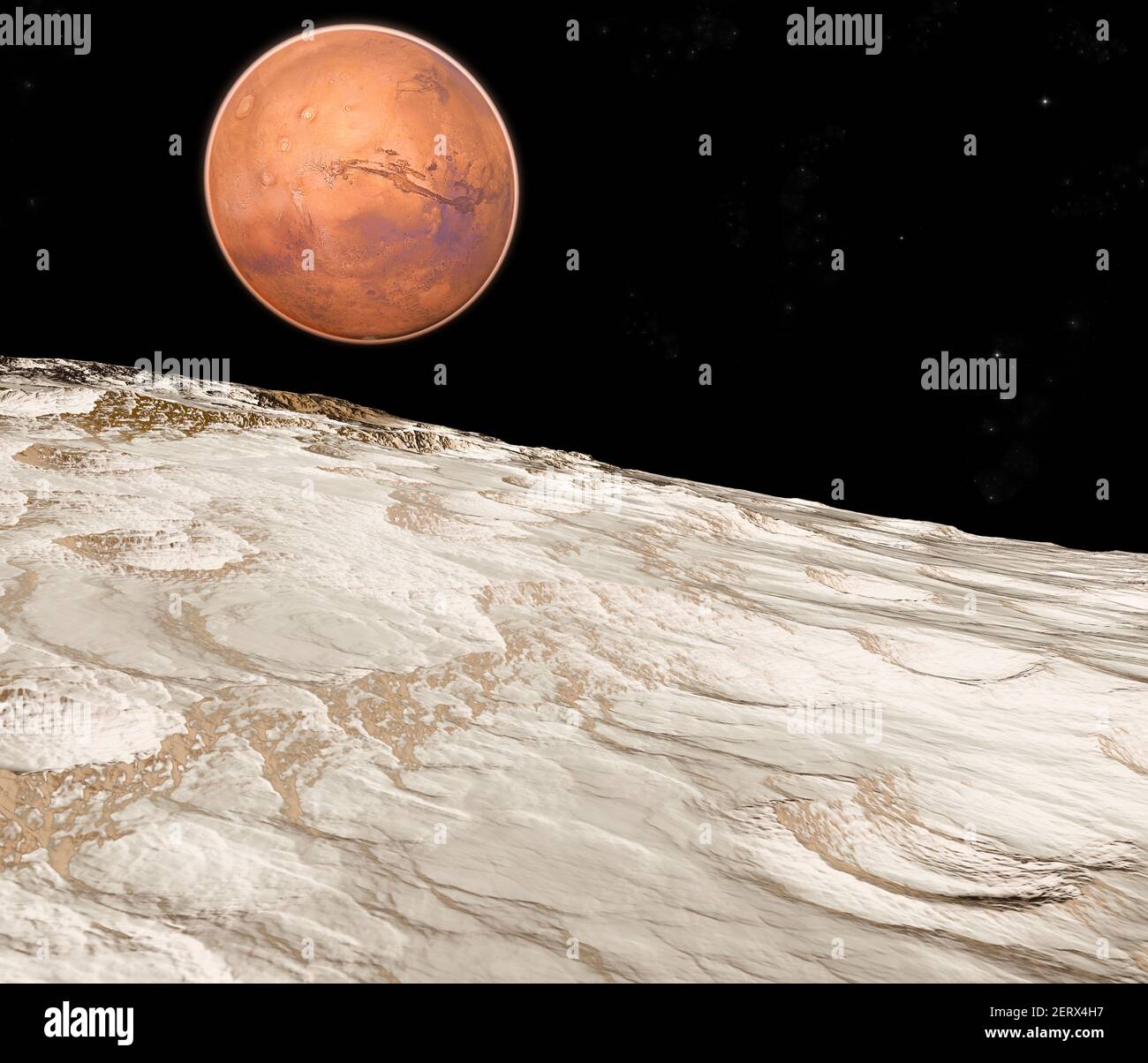 View of Mars seen from Phobos, Deimos the two moons of Mars, natural satellites orbiting the Red Planet. Exploration. Discoveries. 3d render Stock Photohttps://www.alamy.com/image-license-details/?v=1https://www.alamy.com/view-of-mars-seen-from-phobos-deimos-the-two-moons-of-mars-natural-satellites-orbiting-the-red-planet-exploration-discoveries-3d-render-image410549923.html
RF2ERX4H7–View of Mars seen from Phobos, Deimos the two moons of Mars, natural satellites orbiting the Red Planet. Exploration. Discoveries. 3d render
![Infographic on Neptune, the seventh farthest planet from the Sun and the third largest one. [Adobe InDesign (.indd); 4795x3543]. Stock Photo Infographic on Neptune, the seventh farthest planet from the Sun and the third largest one. [Adobe InDesign (.indd); 4795x3543]. Stock Photo](https://c8.alamy.com/comp/2NEBF4D/infographic-on-neptune-the-seventh-farthest-planet-from-the-sun-and-the-third-largest-one-adobe-indesign-indd-4795x3543-2NEBF4D.jpg) Infographic on Neptune, the seventh farthest planet from the Sun and the third largest one. [Adobe InDesign (.indd); 4795x3543]. Stock Photohttps://www.alamy.com/image-license-details/?v=1https://www.alamy.com/infographic-on-neptune-the-seventh-farthest-planet-from-the-sun-and-the-third-largest-one-adobe-indesign-indd-4795x3543-image525169581.html
Infographic on Neptune, the seventh farthest planet from the Sun and the third largest one. [Adobe InDesign (.indd); 4795x3543]. Stock Photohttps://www.alamy.com/image-license-details/?v=1https://www.alamy.com/infographic-on-neptune-the-seventh-farthest-planet-from-the-sun-and-the-third-largest-one-adobe-indesign-indd-4795x3543-image525169581.htmlRM2NEBF4D–Infographic on Neptune, the seventh farthest planet from the Sun and the third largest one. [Adobe InDesign (.indd); 4795x3543].
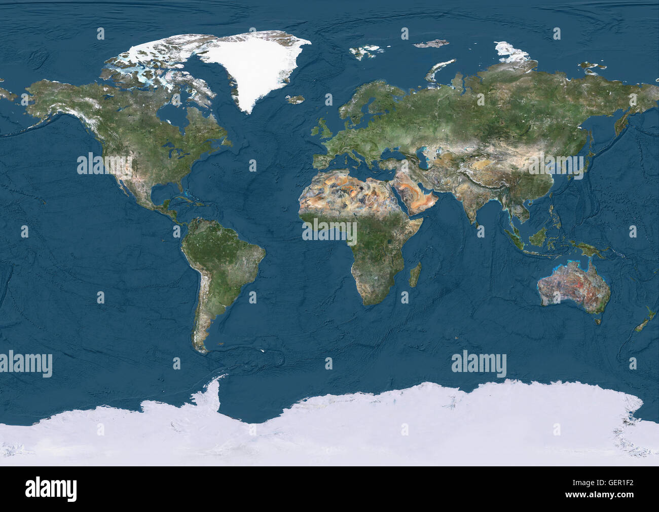 True natural colour satellite image of the Earth, showing ocean depths. This image was compiled from data acquired by Landsat satellites. Stock Photohttps://www.alamy.com/image-license-details/?v=1https://www.alamy.com/stock-photo-true-natural-colour-satellite-image-of-the-earth-showing-ocean-depths-112373494.html
RMGER1F2–True natural colour satellite image of the Earth, showing ocean depths. This image was compiled from data acquired by Landsat satellites.
 The universe with our Sun as its centre, circled by our Earth and the other planets, and by the signs of the Zodiac : Jupiter is shown with its satellites Date: 1660 Stock Photohttps://www.alamy.com/image-license-details/?v=1https://www.alamy.com/stock-photo-the-universe-with-our-sun-as-its-centre-circled-by-our-earth-and-the-105290176.html
RMG38AKC–The universe with our Sun as its centre, circled by our Earth and the other planets, and by the signs of the Zodiac : Jupiter is shown with its satellites Date: 1660
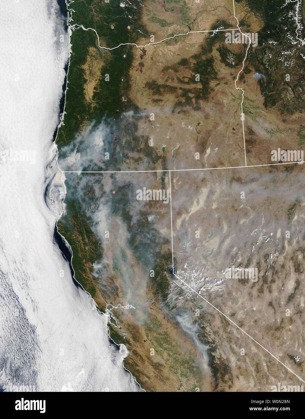 The 2018 wildfire season in North America is well underway, with blazes having burned more acres than average through the end of July. Earlier in the summer, satellite images showed smoke and burn scars from fires in western states including California and Colorado. As the calendar turns to August, smoke is now streaming from fires in nearly every western state. The Moderate Resolution Imaging Spectroradiometer (MODIS) on NASA's Terra and Aqua satellites acquired these natural-color images on July 28 and 29. A notable amount of the smoke stems from the Carr Fire, which is burning in Shasta Cou Stock Photohttps://www.alamy.com/image-license-details/?v=1https://www.alamy.com/the-2018-wildfire-season-in-north-america-is-well-underway-with-blazes-having-burned-more-acres-than-average-through-the-end-of-july-earlier-in-the-summer-satellite-images-showed-smoke-and-burn-scars-from-fires-in-western-states-including-california-and-colorado-as-the-calendar-turns-to-august-smoke-is-now-streaming-from-fires-in-nearly-every-western-state-the-moderate-resolution-imaging-spectroradiometer-modis-on-nasas-terra-and-aqua-satellites-acquired-these-natural-color-images-on-july-28-and-29-a-notable-amount-of-the-smoke-stems-from-the-carr-fire-which-is-burning-in-shasta-cou-image258618325.html
RMW0N28N–The 2018 wildfire season in North America is well underway, with blazes having burned more acres than average through the end of July. Earlier in the summer, satellite images showed smoke and burn scars from fires in western states including California and Colorado. As the calendar turns to August, smoke is now streaming from fires in nearly every western state. The Moderate Resolution Imaging Spectroradiometer (MODIS) on NASA's Terra and Aqua satellites acquired these natural-color images on July 28 and 29. A notable amount of the smoke stems from the Carr Fire, which is burning in Shasta Cou
 Satellite system for a television and flowers on the window of a city flat Stock Photohttps://www.alamy.com/image-license-details/?v=1https://www.alamy.com/satellite-system-for-a-television-and-flowers-on-the-window-of-a-city-flat-image638218399.html
RF2S29A27–Satellite system for a television and flowers on the window of a city flat
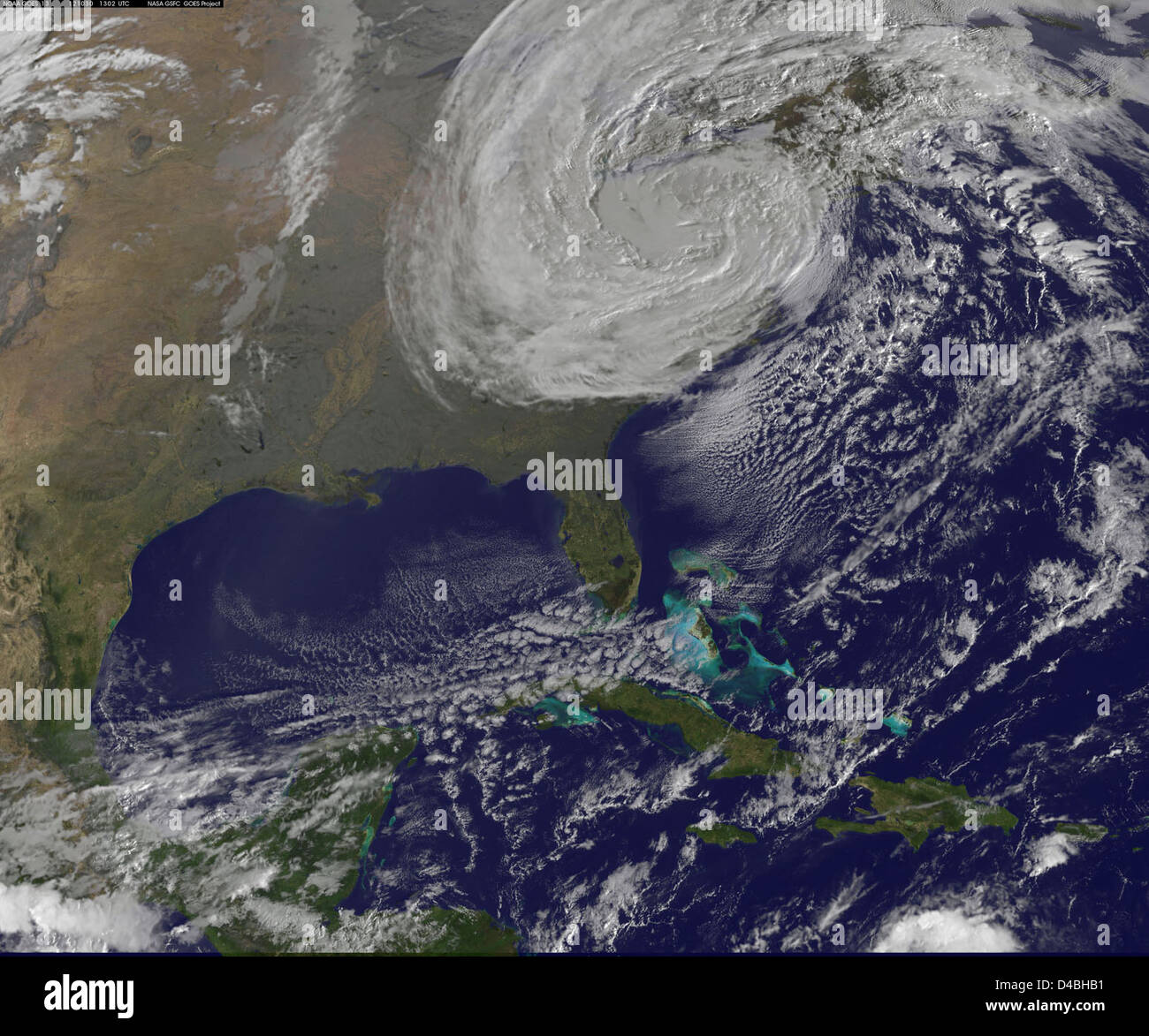 A satellite image shows the aftermath of Post-Tropical Cyclone Sandy on October 30, revealing the storm's path and impact on the Eastern U.S. The image was captured by NASA's Earth-observing satellites. Stock Photohttps://www.alamy.com/image-license-details/?v=1https://www.alamy.com/stock-photo-a-satellite-image-shows-the-aftermath-of-post-tropical-cyclone-sandy-54344837.html
RMD4BHB1–A satellite image shows the aftermath of Post-Tropical Cyclone Sandy on October 30, revealing the storm's path and impact on the Eastern U.S. The image was captured by NASA's Earth-observing satellites.
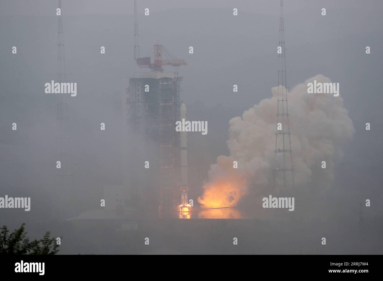 220716 -- TAIYUAN, July 16, 2022 -- A Long March-2C carrier rocket carrying a pair of satellites, Siwei 03 and 04, blasts off from the Taiyuan Satellite Launch Center in north China s Shanxi Province, July 16, 2022. The pair of satellites soon entered the preset orbit and will provide commercial remote sensing services for sectors such as land resources investigation, natural disaster monitoring, urban planning and safety. The mission marked the 427th flight of the Long March carrier rockets. Photo by /Xinhua EyesonSciCHINA-SHANXI-TAIYUAN-SATELLITES-LAUNCH CN ZhengxBin PUBLICATIONxNOTxINxCHN Stock Photohttps://www.alamy.com/image-license-details/?v=1https://www.alamy.com/220716-taiyuan-july-16-2022-a-long-march-2c-carrier-rocket-carrying-a-pair-of-satellites-siwei-03-and-04-blasts-off-from-the-taiyuan-satellite-launch-center-in-north-china-s-shanxi-province-july-16-2022-the-pair-of-satellites-soon-entered-the-preset-orbit-and-will-provide-commercial-remote-sensing-services-for-sectors-such-as-land-resources-investigation-natural-disaster-monitoring-urban-planning-and-safety-the-mission-marked-the-427th-flight-of-the-long-march-carrier-rockets-photo-by-xinhua-eyesonscichina-shanxi-taiyuan-satellites-launch-cn-zhengxbin-publicationxnotxinxchn-image565270192.html
RM2RRJ7W4–220716 -- TAIYUAN, July 16, 2022 -- A Long March-2C carrier rocket carrying a pair of satellites, Siwei 03 and 04, blasts off from the Taiyuan Satellite Launch Center in north China s Shanxi Province, July 16, 2022. The pair of satellites soon entered the preset orbit and will provide commercial remote sensing services for sectors such as land resources investigation, natural disaster monitoring, urban planning and safety. The mission marked the 427th flight of the Long March carrier rockets. Photo by /Xinhua EyesonSciCHINA-SHANXI-TAIYUAN-SATELLITES-LAUNCH CN ZhengxBin PUBLICATIONxNOTxINxCHN
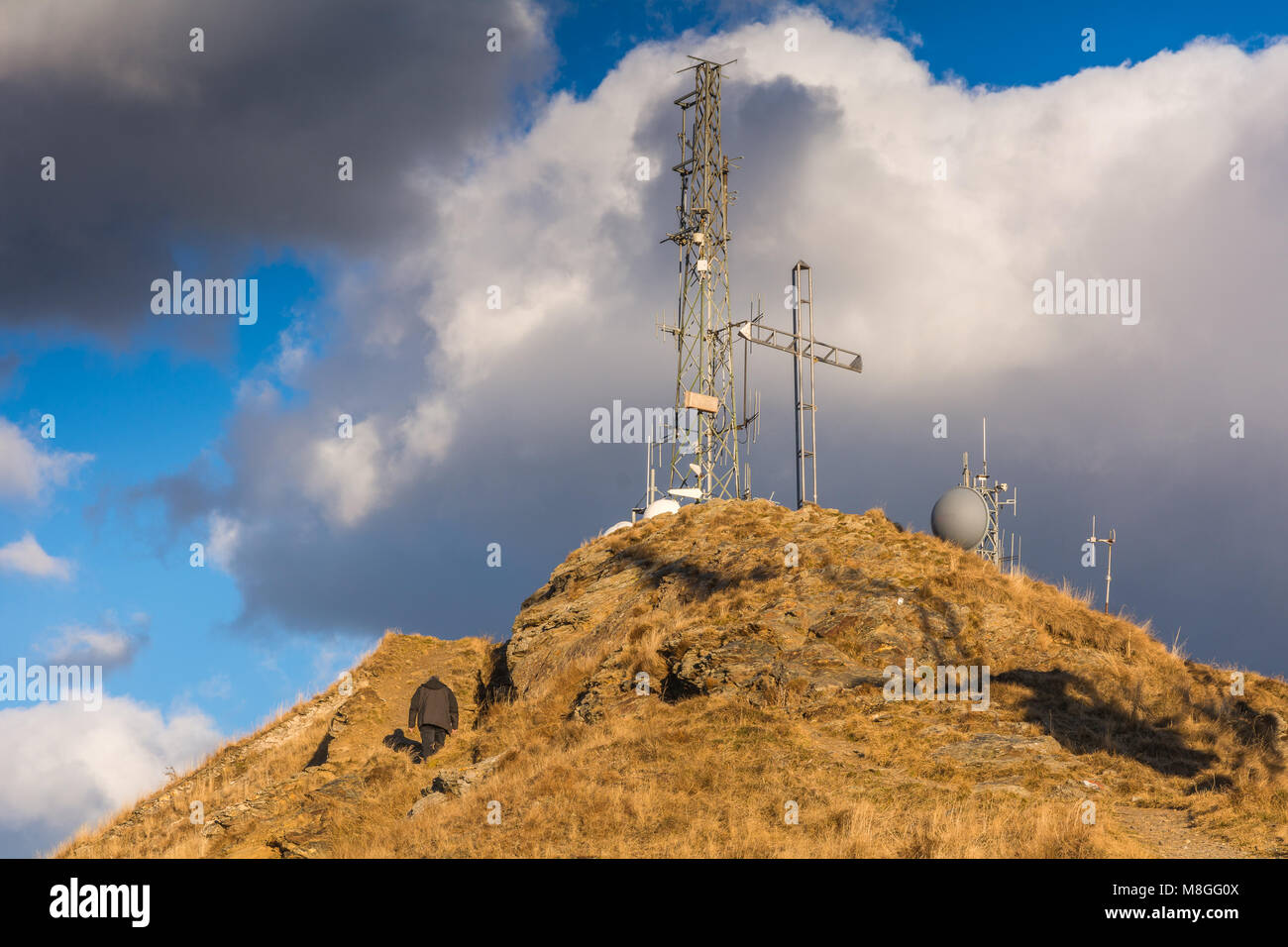 Panarotta 2002 is a up-to-date, well-equipped ski centre located 10 km away from the spa town of Levico, Trento, Trentino Alto Adige, Stock Photohttps://www.alamy.com/image-license-details/?v=1https://www.alamy.com/stock-photo-panarotta-2002-is-a-up-to-date-well-equipped-ski-centre-located-10-177384730.html
RFM8GG0X–Panarotta 2002 is a up-to-date, well-equipped ski centre located 10 km away from the spa town of Levico, Trento, Trentino Alto Adige,
 Amazing Night View Bold Stars . Natural Glowing Stars And Satellites Trails. Night Sky Stars With Milky Way Galaxy. Night View Of Natural Glowing Stock Photohttps://www.alamy.com/image-license-details/?v=1https://www.alamy.com/amazing-night-view-bold-stars-natural-glowing-stars-and-satellites-trails-night-sky-stars-with-milky-way-galaxy-night-view-of-natural-glowing-image660033654.html
RF3A9R3JE–Amazing Night View Bold Stars . Natural Glowing Stars And Satellites Trails. Night Sky Stars With Milky Way Galaxy. Night View Of Natural Glowing
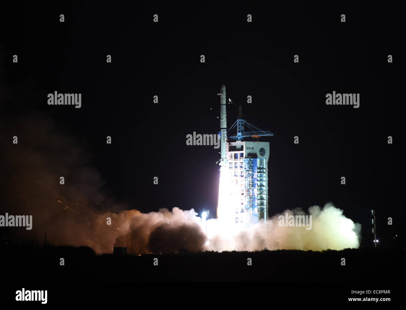 Jiuquan, China's Gansu Province. 11th Dec, 2014. A Chinese Long March-4C rocket carrying the Yaogan-25 remote sensing satellite blasts off from the launch pad at the Jiuquan Satellite Launch Center in Jiuquan, northwest China's Gansu Province, Dec. 11, 2014. It was the 201st mission for the Long March rocket technology. Yaogan satellites are mainly used for scientific experiments, natural resource surveys, crop yield estimates and disaster relief. Credit: Yan Yan/Xinhua/Alamy Live News Stock Photohttps://www.alamy.com/image-license-details/?v=1https://www.alamy.com/stock-photo-jiuquan-chinas-gansu-province-11th-dec-2014-a-chinese-long-march-4c-76410791.html
RMEC8PMR–Jiuquan, China's Gansu Province. 11th Dec, 2014. A Chinese Long March-4C rocket carrying the Yaogan-25 remote sensing satellite blasts off from the launch pad at the Jiuquan Satellite Launch Center in Jiuquan, northwest China's Gansu Province, Dec. 11, 2014. It was the 201st mission for the Long March rocket technology. Yaogan satellites are mainly used for scientific experiments, natural resource surveys, crop yield estimates and disaster relief. Credit: Yan Yan/Xinhua/Alamy Live News
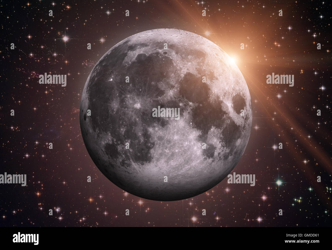 Solar System - Earths Moon. The Moon is Earth's only natural satellite. It is one of the largest natural satellites. Stock Photohttps://www.alamy.com/image-license-details/?v=1https://www.alamy.com/stock-photo-solar-system-earths-moon-the-moon-is-earths-only-natural-satellite-115851065.html
RFGMDD61–Solar System - Earths Moon. The Moon is Earth's only natural satellite. It is one of the largest natural satellites.
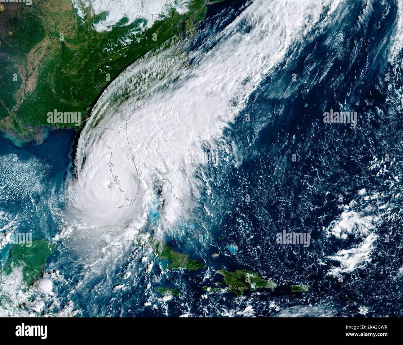 Florida, USA. 28th Sep, 2022. The simulated natural-color image above was acquired at 9:10 a.m. local time (13:10 Universal Time) on September 28, 2022, by the Advanced Baseline Imager (ABI) on the Geostationary Operational Environmental Satellite 16 (GOES-16). The satellite is operated by the National Oceanic and Atmospheric Administration (NOAA); NASA helps develop and launch the GOES series of satellites. Credit: NASA Earth/ZUMA Press Wire Service/ZUMAPRESS.com/Alamy Live News Stock Photohttps://www.alamy.com/image-license-details/?v=1https://www.alamy.com/florida-usa-28th-sep-2022-the-simulated-natural-color-image-above-was-acquired-at-910-am-local-time-1310-universal-time-on-september-28-2022-by-the-advanced-baseline-imager-abi-on-the-geostationary-operational-environmental-satellite-16-goes-16-the-satellite-is-operated-by-the-national-oceanic-and-atmospheric-administration-noaa-nasa-helps-develop-and-launch-the-goes-series-of-satellites-credit-nasa-earthzuma-press-wire-servicezumapresscomalamy-live-news-image484406099.html
RM2K42GWR–Florida, USA. 28th Sep, 2022. The simulated natural-color image above was acquired at 9:10 a.m. local time (13:10 Universal Time) on September 28, 2022, by the Advanced Baseline Imager (ABI) on the Geostationary Operational Environmental Satellite 16 (GOES-16). The satellite is operated by the National Oceanic and Atmospheric Administration (NOAA); NASA helps develop and launch the GOES series of satellites. Credit: NASA Earth/ZUMA Press Wire Service/ZUMAPRESS.com/Alamy Live News
 PSM V04 D052 Saturn and his moons Stock Photohttps://www.alamy.com/image-license-details/?v=1https://www.alamy.com/stock-photo-psm-v04-d052-saturn-and-his-moons-140413330.html
RMJ4CAHP–PSM V04 D052 Saturn and his moons
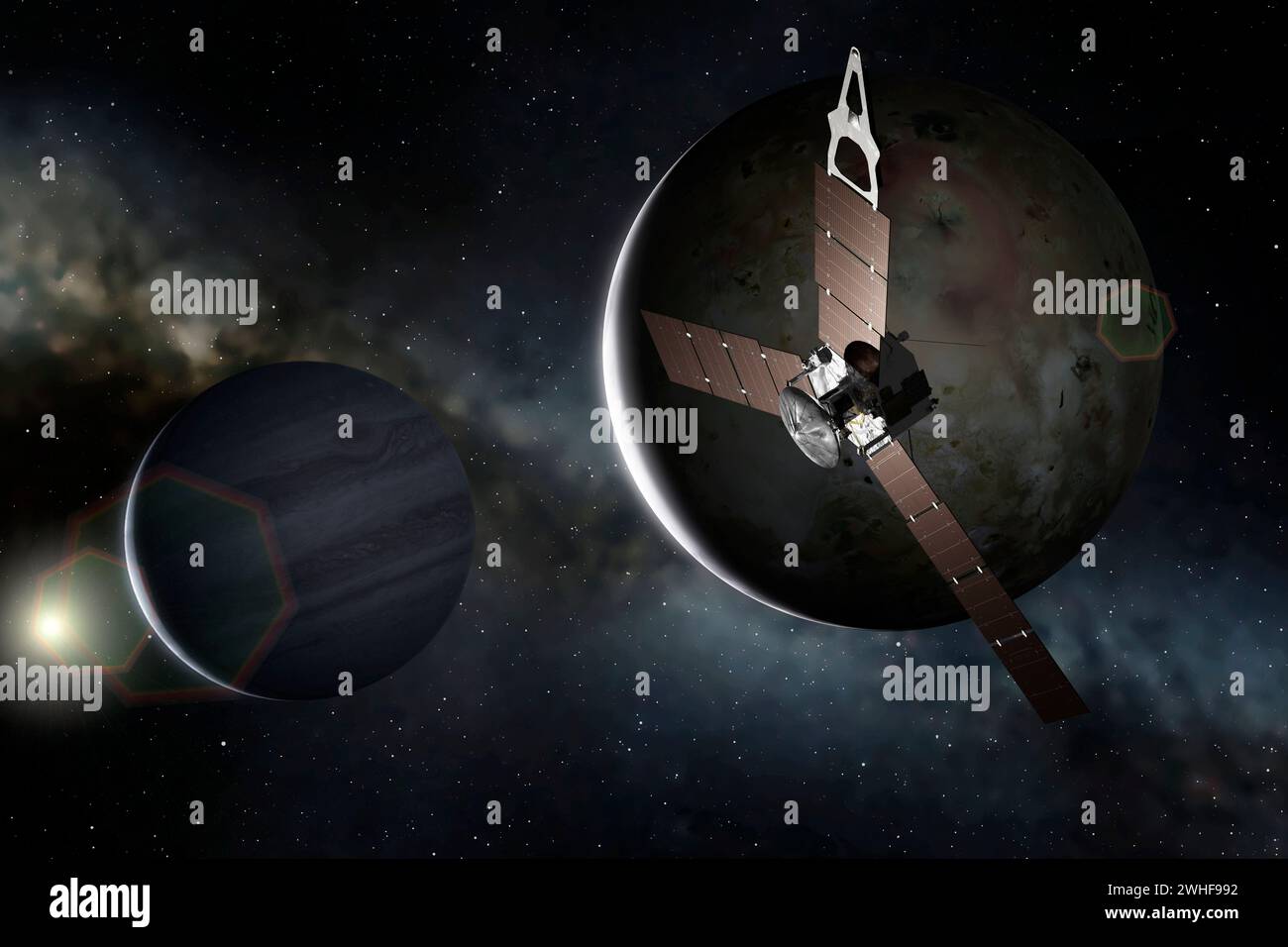 Artwork of Juno at Io Stock Photohttps://www.alamy.com/image-license-details/?v=1https://www.alamy.com/artwork-of-juno-at-io-image595938254.html
RF2WHF992–Artwork of Juno at Io
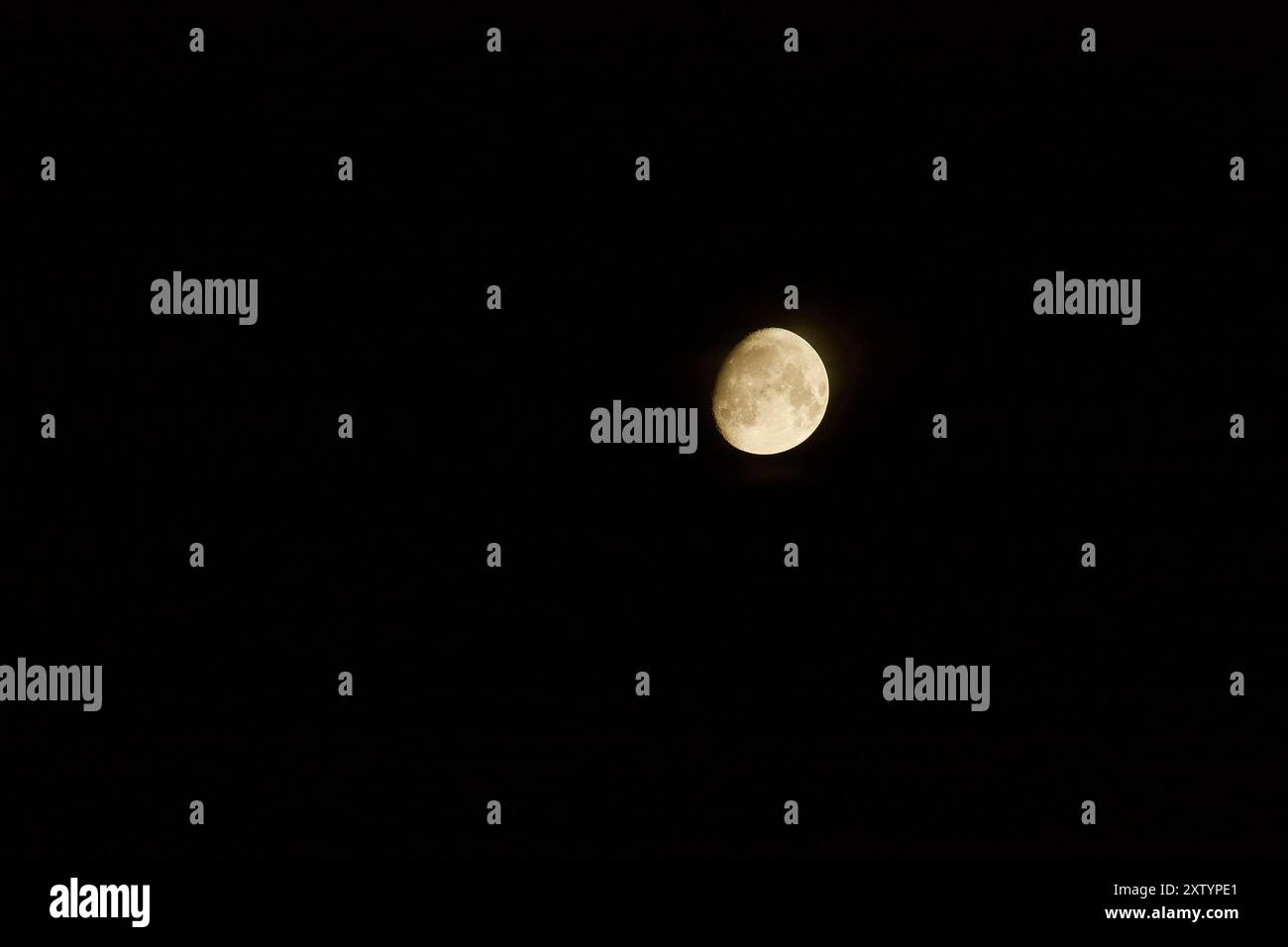 Mainz, Germany. Waxing Gibbous Moon. Stock Photohttps://www.alamy.com/image-license-details/?v=1https://www.alamy.com/mainz-germany-waxing-gibbous-moon-image617724969.html
RF2XTYPE1–Mainz, Germany. Waxing Gibbous Moon.
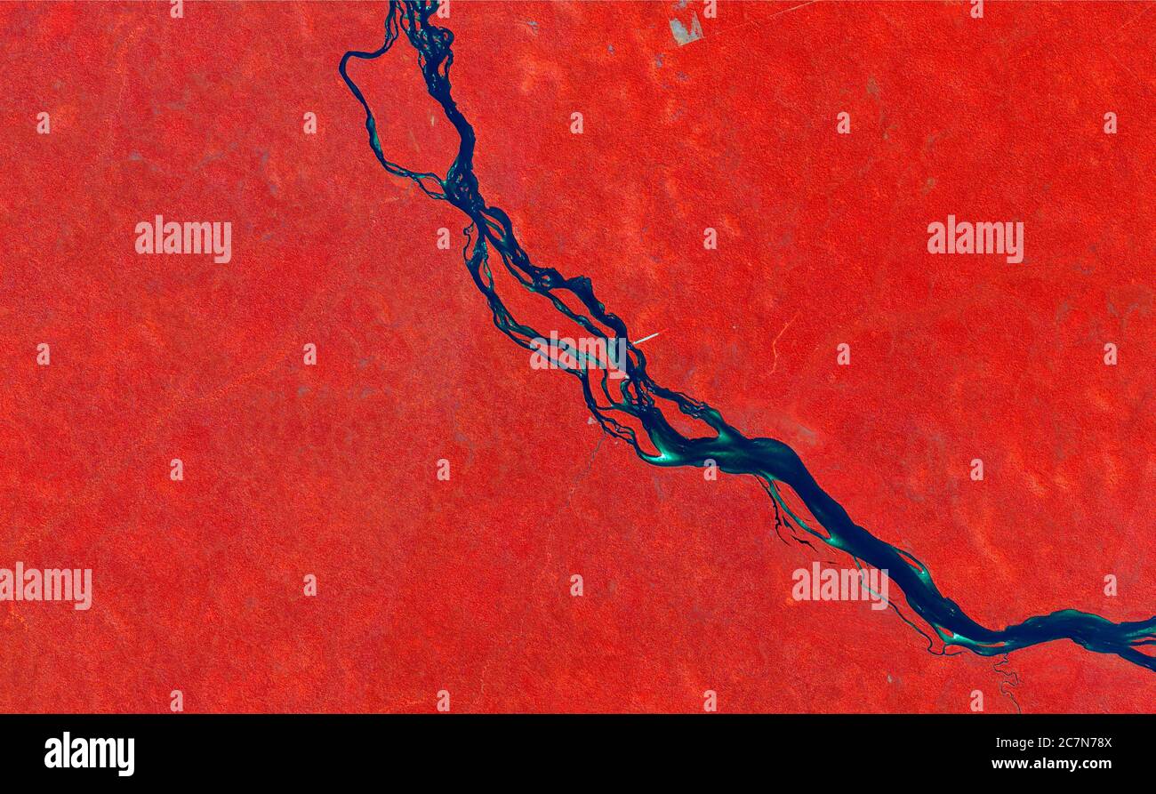 False-color composition satellite image showing the tropical forest in red, the river in blue and the clouds in white. data sentinel. Stock Photohttps://www.alamy.com/image-license-details/?v=1https://www.alamy.com/false-color-composition-satellite-image-showing-the-tropical-forest-in-red-the-river-in-blue-and-the-clouds-in-white-data-sentinel-image366187050.html
RM2C7N78X–False-color composition satellite image showing the tropical forest in red, the river in blue and the clouds in white. data sentinel.
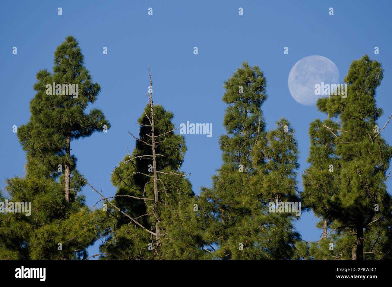 Forest of Canary Island pine and moon. Stock Photohttps://www.alamy.com/image-license-details/?v=1https://www.alamy.com/forest-of-canary-island-pine-and-moon-image548211553.html
RF2PRW5C1–Forest of Canary Island pine and moon.
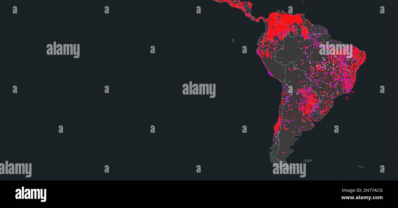 Dresden, Germany - February 5, 2023: Map of South America, Brazil and Amazon river on NASA FIRMS different satellites wildfire detection service showi Stock Photohttps://www.alamy.com/image-license-details/?v=1https://www.alamy.com/dresden-germany-february-5-2023-map-of-south-america-brazil-and-amazon-river-on-nasa-firms-different-satellites-wildfire-detection-service-showi-image520775488.html
RF2N77ACG–Dresden, Germany - February 5, 2023: Map of South America, Brazil and Amazon river on NASA FIRMS different satellites wildfire detection service showi
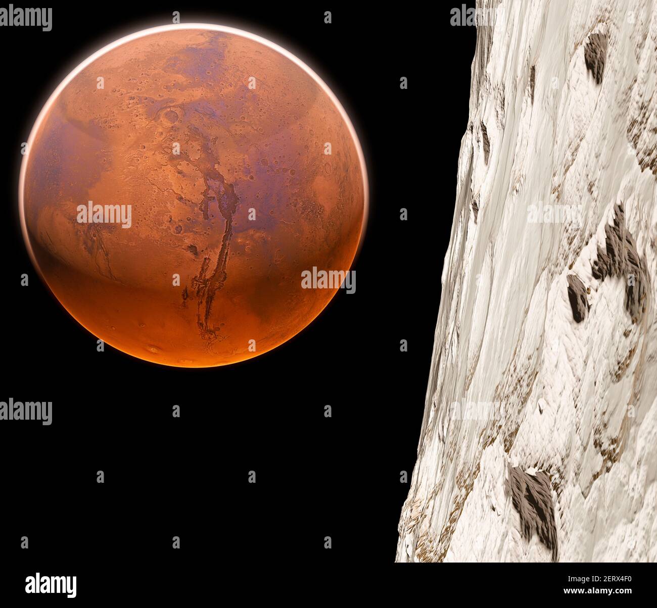 View of Mars seen from Phobos, Deimos the two moons of Mars, natural satellites orbiting the Red Planet. Exploration. Discoveries. 3d render Stock Photohttps://www.alamy.com/image-license-details/?v=1https://www.alamy.com/view-of-mars-seen-from-phobos-deimos-the-two-moons-of-mars-natural-satellites-orbiting-the-red-planet-exploration-discoveries-3d-render-image410549860.html
RF2ERX4F0–View of Mars seen from Phobos, Deimos the two moons of Mars, natural satellites orbiting the Red Planet. Exploration. Discoveries. 3d render
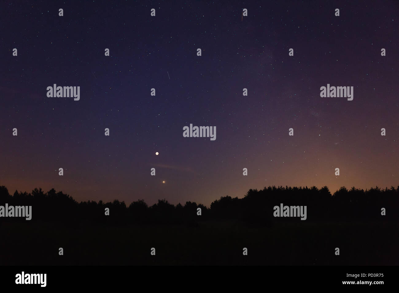 Night sky over forest, visible full eclispse of Moon, Mars in perigee, satellites and Milky Way Stock Photohttps://www.alamy.com/image-license-details/?v=1https://www.alamy.com/night-sky-over-forest-visible-full-eclispse-of-moon-mars-in-perigee-satellites-and-milky-way-image214599033.html
RFPD3R75–Night sky over forest, visible full eclispse of Moon, Mars in perigee, satellites and Milky Way
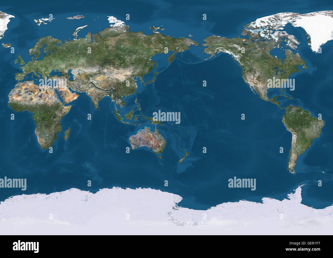 True natural colour satellite image of the Earth, centred on the Pacific ocean. This image was compiled from data acquired by Landsat satellites. Stock Photohttps://www.alamy.com/image-license-details/?v=1https://www.alamy.com/stock-photo-true-natural-colour-satellite-image-of-the-earth-centred-on-the-pacific-112373499.html
RMGER1F7–True natural colour satellite image of the Earth, centred on the Pacific ocean. This image was compiled from data acquired by Landsat satellites.
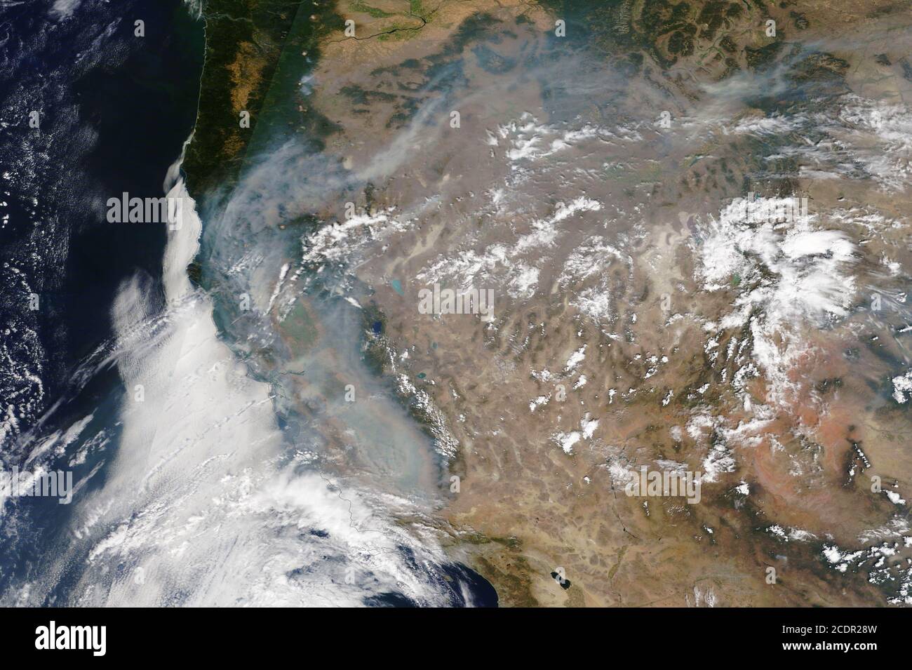 CALIFORNIA, USA - 23 August 2020 - Numerous wildfires are seen burning by the NASA MODIS satellites on 23 August 2020. It is one of the biggest wildfi Stock Photohttps://www.alamy.com/image-license-details/?v=1https://www.alamy.com/california-usa-23-august-2020-numerous-wildfires-are-seen-burning-by-the-nasa-modis-satellites-on-23-august-2020-it-is-one-of-the-biggest-wildfi-image369914969.html
RM2CDR28W–CALIFORNIA, USA - 23 August 2020 - Numerous wildfires are seen burning by the NASA MODIS satellites on 23 August 2020. It is one of the biggest wildfi
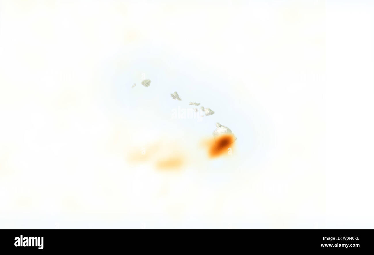 On May 3, 2018, ash, lava, and gas erupted from Hawaii's Kilauea volcano. Clouds have so far prevented NASA satellites from acquiring a natural-color image of the area. However, the plume contained sulfur dioxide (SO2), a gas that was detected by the Ozone Mapper Profiler Suite (OMPS) on the Suomi-NPP satellite. The map above shows concentrations of SO2 as detected by OMPS at 1:30 p.m. local time on May 3. Maximum gas concentrations reached 15 Dobson Units. According to the USGS Hawaiian Volcano Observatory, activity that continued on May 4 was primarily 'lava spattering' from at least three s Stock Photohttps://www.alamy.com/image-license-details/?v=1https://www.alamy.com/on-may-3-2018-ash-lava-and-gas-erupted-from-hawaiis-kilauea-volcano-clouds-have-so-far-prevented-nasa-satellites-from-acquiring-a-natural-color-image-of-the-area-however-the-plume-contained-sulfur-dioxide-so2-a-gas-that-was-detected-by-the-ozone-mapper-profiler-suite-omps-on-the-suomi-npp-satellite-the-map-above-shows-concentrations-of-so2-as-detected-by-omps-at-130-pm-local-time-on-may-3-maximum-gas-concentrations-reached-15-dobson-units-according-to-the-usgs-hawaiian-volcano-observatory-activity-that-continued-on-may-4-was-primarily-lava-spattering-from-at-least-three-s-image258617055.html
RMW0N0KB–On May 3, 2018, ash, lava, and gas erupted from Hawaii's Kilauea volcano. Clouds have so far prevented NASA satellites from acquiring a natural-color image of the area. However, the plume contained sulfur dioxide (SO2), a gas that was detected by the Ozone Mapper Profiler Suite (OMPS) on the Suomi-NPP satellite. The map above shows concentrations of SO2 as detected by OMPS at 1:30 p.m. local time on May 3. Maximum gas concentrations reached 15 Dobson Units. According to the USGS Hawaiian Volcano Observatory, activity that continued on May 4 was primarily 'lava spattering' from at least three s
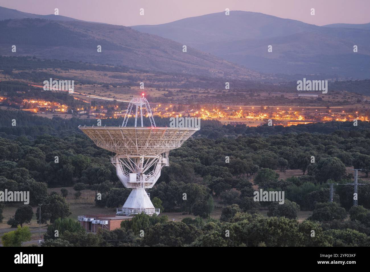 Large radio telescope antenna dish Stock Photohttps://www.alamy.com/image-license-details/?v=1https://www.alamy.com/large-radio-telescope-antenna-dish-image628795987.html
RF2YF03KF–Large radio telescope antenna dish
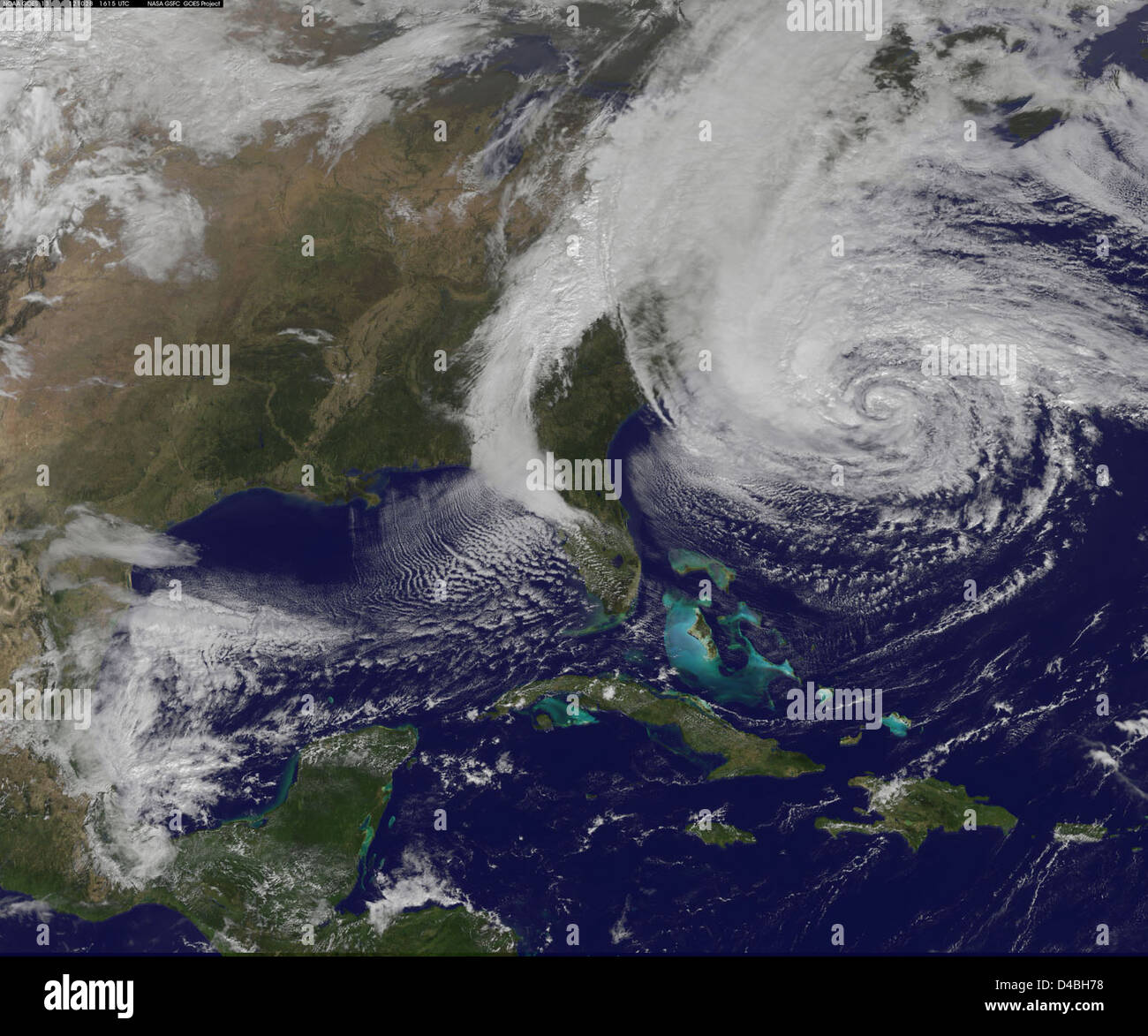 NASA satellites captured the expanding size and intensifying strength of Hurricane Sandy as it moved through the Atlantic Ocean. The storm, which was dubbed Frankenstorm due to its size and impact, caused widespread devastation in the U.S. east coast and was closely monitored by NASA's Goddard Space Flight Center. Stock Photohttps://www.alamy.com/image-license-details/?v=1https://www.alamy.com/stock-photo-nasa-satellites-captured-the-expanding-size-and-intensifying-strength-54344732.html
RMD4BH78–NASA satellites captured the expanding size and intensifying strength of Hurricane Sandy as it moved through the Atlantic Ocean. The storm, which was dubbed Frankenstorm due to its size and impact, caused widespread devastation in the U.S. east coast and was closely monitored by NASA's Goddard Space Flight Center.
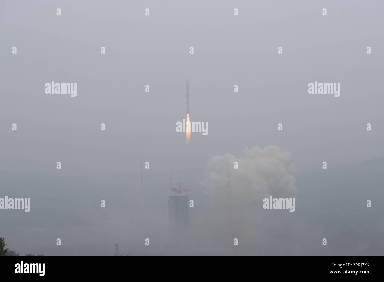 220716 -- TAIYUAN, July 16, 2022 -- A Long March-2C carrier rocket carrying a pair of satellites, Siwei 03 and 04, blasts off from the Taiyuan Satellite Launch Center in north China s Shanxi Province, July 16, 2022. The pair of satellites soon entered the preset orbit and will provide commercial remote sensing services for sectors such as land resources investigation, natural disaster monitoring, urban planning and safety. The mission marked the 427th flight of the Long March carrier rockets. Photo by /Xinhua EyesonSciCHINA-SHANXI-TAIYUAN-SATELLITES-LAUNCH CN ZhengxBin PUBLICATIONxNOTxINxCHN Stock Photohttps://www.alamy.com/image-license-details/?v=1https://www.alamy.com/220716-taiyuan-july-16-2022-a-long-march-2c-carrier-rocket-carrying-a-pair-of-satellites-siwei-03-and-04-blasts-off-from-the-taiyuan-satellite-launch-center-in-north-china-s-shanxi-province-july-16-2022-the-pair-of-satellites-soon-entered-the-preset-orbit-and-will-provide-commercial-remote-sensing-services-for-sectors-such-as-land-resources-investigation-natural-disaster-monitoring-urban-planning-and-safety-the-mission-marked-the-427th-flight-of-the-long-march-carrier-rockets-photo-by-xinhua-eyesonscichina-shanxi-taiyuan-satellites-launch-cn-zhengxbin-publicationxnotxinxchn-image565270235.html
RM2RRJ7XK–220716 -- TAIYUAN, July 16, 2022 -- A Long March-2C carrier rocket carrying a pair of satellites, Siwei 03 and 04, blasts off from the Taiyuan Satellite Launch Center in north China s Shanxi Province, July 16, 2022. The pair of satellites soon entered the preset orbit and will provide commercial remote sensing services for sectors such as land resources investigation, natural disaster monitoring, urban planning and safety. The mission marked the 427th flight of the Long March carrier rockets. Photo by /Xinhua EyesonSciCHINA-SHANXI-TAIYUAN-SATELLITES-LAUNCH CN ZhengxBin PUBLICATIONxNOTxINxCHN
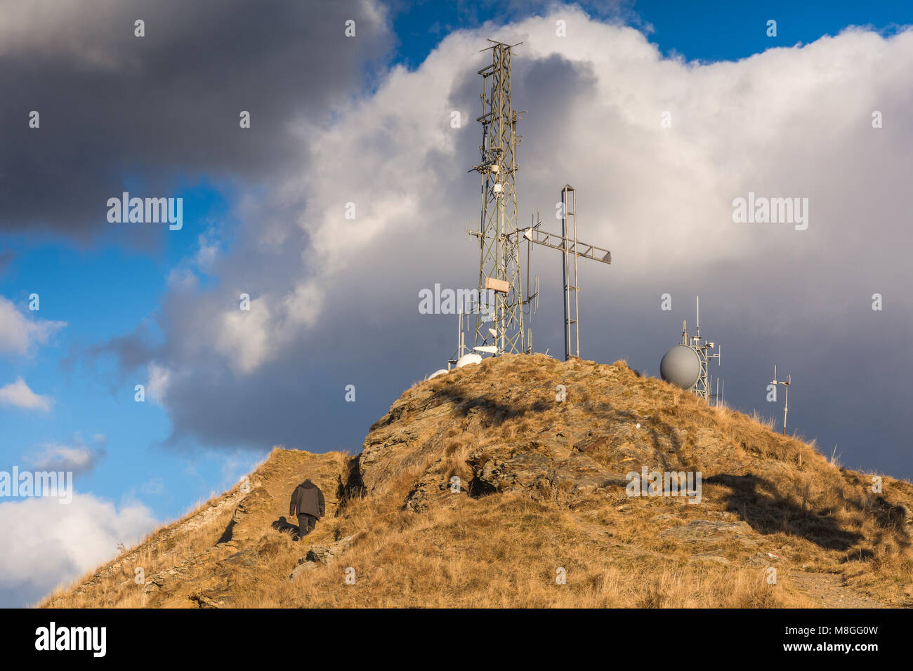 Panarotta 2002 is a up-to-date, well-equipped ski centre located 10 km away from the spa town of Levico, Trento, Trentino Alto Adige, Stock Photohttps://www.alamy.com/image-license-details/?v=1https://www.alamy.com/stock-photo-panarotta-2002-is-a-up-to-date-well-equipped-ski-centre-located-10-177384729.html
RFM8GG0W–Panarotta 2002 is a up-to-date, well-equipped ski centre located 10 km away from the spa town of Levico, Trento, Trentino Alto Adige,
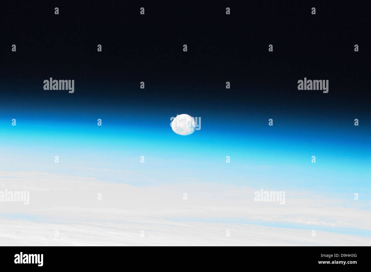 The moon and Earth's atmosphere. Stock Photohttps://www.alamy.com/image-license-details/?v=1https://www.alamy.com/stock-photo-the-moon-and-earths-atmosphere-57549620.html
RFD9HH3G–The moon and Earth's atmosphere.
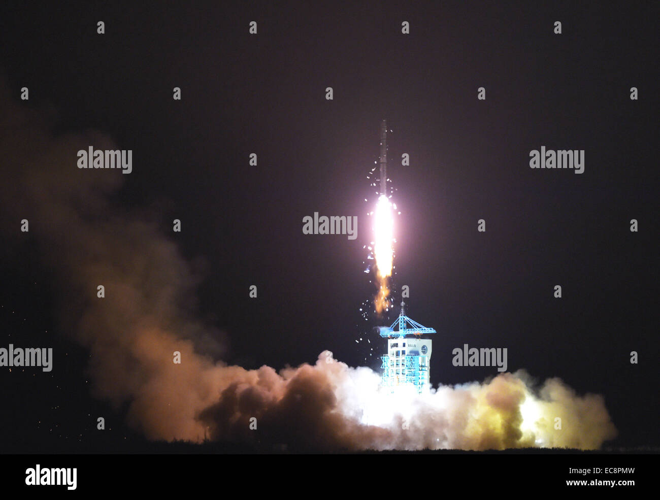 Jiuquan, China's Gansu Province. 11th Dec, 2014. A Chinese Long March-4C rocket carrying the Yaogan-25 remote sensing satellite blasts off from the launch pad at the Jiuquan Satellite Launch Center in Jiuquan, northwest China's Gansu Province, Dec. 11, 2014. It was the 201st mission for the Long March rocket technology. Yaogan satellites are mainly used for scientific experiments, natural resource surveys, crop yield estimates and disaster relief. Credit: Yan Yan/Xinhua/Alamy Live News Stock Photohttps://www.alamy.com/image-license-details/?v=1https://www.alamy.com/stock-photo-jiuquan-chinas-gansu-province-11th-dec-2014-a-chinese-long-march-4c-76410793.html
RMEC8PMW–Jiuquan, China's Gansu Province. 11th Dec, 2014. A Chinese Long March-4C rocket carrying the Yaogan-25 remote sensing satellite blasts off from the launch pad at the Jiuquan Satellite Launch Center in Jiuquan, northwest China's Gansu Province, Dec. 11, 2014. It was the 201st mission for the Long March rocket technology. Yaogan satellites are mainly used for scientific experiments, natural resource surveys, crop yield estimates and disaster relief. Credit: Yan Yan/Xinhua/Alamy Live News
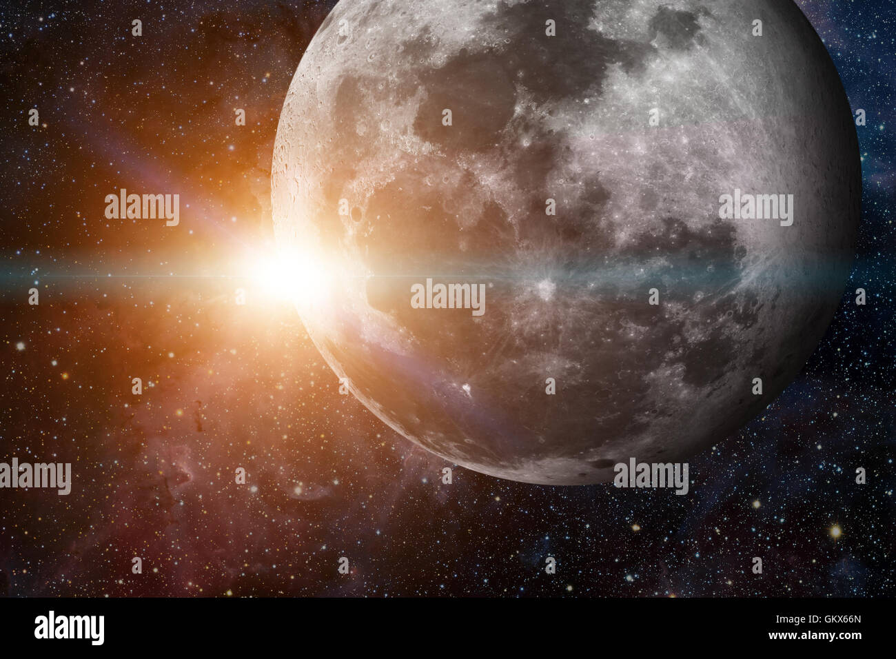 Solar System - Earths Moon. The Moon is Earth's only natural satellite. It is one of the largest natural satellites in the Solar Stock Photohttps://www.alamy.com/image-license-details/?v=1https://www.alamy.com/stock-photo-solar-system-earths-moon-the-moon-is-earths-only-natural-satellite-115516317.html
RFGKX66N–Solar System - Earths Moon. The Moon is Earth's only natural satellite. It is one of the largest natural satellites in the Solar
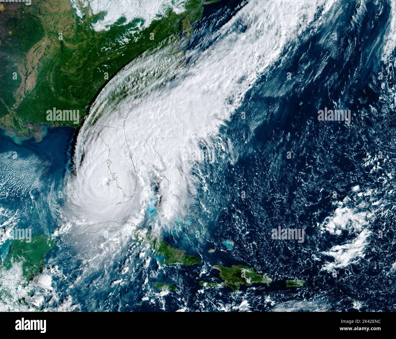 Florida, USA. 28th Sep, 2022. The simulated natural-color image above was acquired at 9:10 a.m. local time (13:10 Universal Time) on September 28, 2022, by the Advanced Baseline Imager (ABI) on the Geostationary Operational Environmental Satellite 16 (GOES-16). The satellite is operated by the National Oceanic and Atmospheric Administration (NOAA); NASA helps develop and launch the GOES series of satellites. Credit: NASA Earth/ZUMA Press Wire Service/ZUMAPRESS.com/Alamy Live News Stock Photohttps://www.alamy.com/image-license-details/?v=1https://www.alamy.com/florida-usa-28th-sep-2022-the-simulated-natural-color-image-above-was-acquired-at-910-am-local-time-1310-universal-time-on-september-28-2022-by-the-advanced-baseline-imager-abi-on-the-geostationary-operational-environmental-satellite-16-goes-16-the-satellite-is-operated-by-the-national-oceanic-and-atmospheric-administration-noaa-nasa-helps-develop-and-launch-the-goes-series-of-satellites-credit-nasa-earthzuma-press-wire-servicezumapresscomalamy-live-news-image484404408.html
RM2K42ENC–Florida, USA. 28th Sep, 2022. The simulated natural-color image above was acquired at 9:10 a.m. local time (13:10 Universal Time) on September 28, 2022, by the Advanced Baseline Imager (ABI) on the Geostationary Operational Environmental Satellite 16 (GOES-16). The satellite is operated by the National Oceanic and Atmospheric Administration (NOAA); NASA helps develop and launch the GOES series of satellites. Credit: NASA Earth/ZUMA Press Wire Service/ZUMAPRESS.com/Alamy Live News
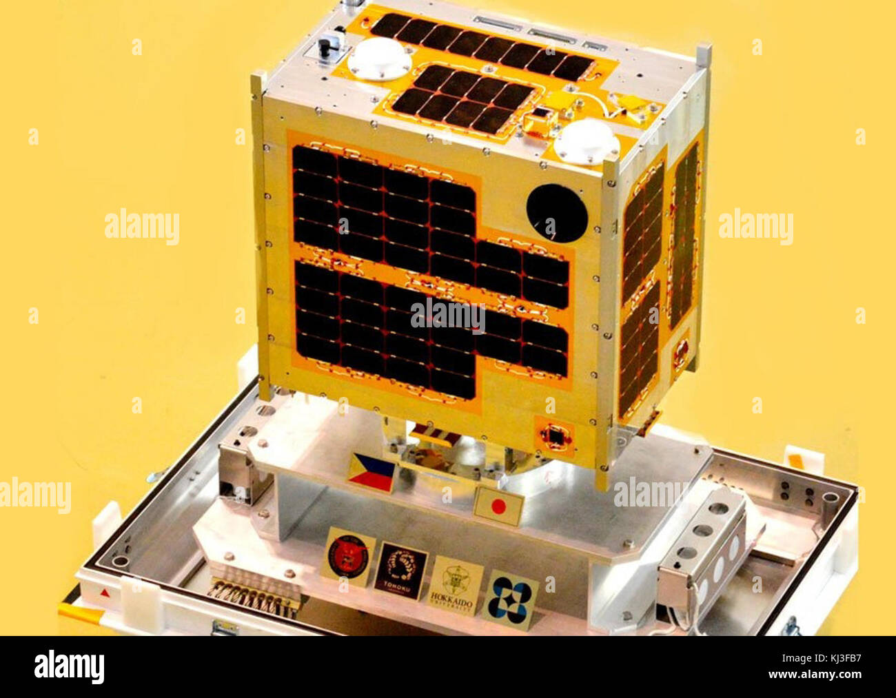 Diwata-1 Stock Photohttps://www.alamy.com/image-license-details/?v=1https://www.alamy.com/stock-image-diwata-1-166035051.html
RMKJ3FB7–Diwata-1
 Illustration of the cloud tops of Jupiter, the Solar System's largest planet. The view is towards the Sun, with the four large Galilean moons to eithe Stock Photohttps://www.alamy.com/image-license-details/?v=1https://www.alamy.com/illustration-of-the-cloud-tops-of-jupiter-the-solar-systems-largest-planet-the-view-is-towards-the-sun-with-the-four-large-galilean-moons-to-eithe-image259474344.html
RFW2424T–Illustration of the cloud tops of Jupiter, the Solar System's largest planet. The view is towards the Sun, with the four large Galilean moons to eithe
