Quick filters:
Maps old russia Stock Photos and Images
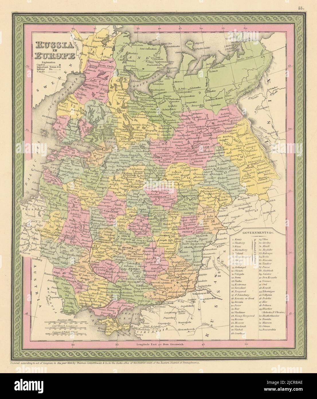 Russia in Europe. Ukraine Baltics Belarus Finland. COWPERTHWAIT 1852 old map Stock Photohttps://www.alamy.com/image-license-details/?v=1https://www.alamy.com/russia-in-europe-ukraine-baltics-belarus-finland-cowperthwait-1852-old-map-image472567270.html
RF2JCR8AE–Russia in Europe. Ukraine Baltics Belarus Finland. COWPERTHWAIT 1852 old map
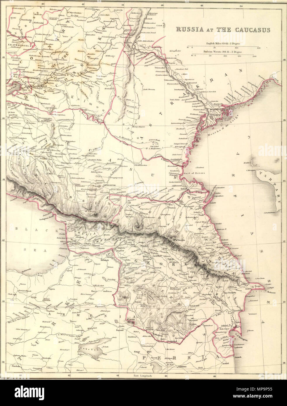 . English: Sharpe's Corresponding Maps. Russia at the Caucasus. London - Published by Chapman and Hall, 186 Strand, 1847. Divisional Series. 1847. John Sharpe (1777-1860); Joseph Wilson Lowry (1803–1879) Alternative names Lowry, J.W. Description British engraver Date of birth/death 7 October 1803 10 June 1879 Authority control : Q6288013 VIAF: 41690671 ISNI: 0000 0000 7379 2871 ULAN: 500056859 LCCN: nr90023562 NLA: 35891264 WorldCat 828 Lowry, J.W.; Sharpe, J. Russia at the Caucasus. 1847 (A) Stock Photohttps://www.alamy.com/image-license-details/?v=1https://www.alamy.com/english-sharpes-corresponding-maps-russia-at-the-caucasus-london-published-by-chapman-and-hall-186-strand-1847-divisional-series-1847-john-sharpe-1777-1860-joseph-wilson-lowry-18031879-alternative-names-lowry-jw-description-british-engraver-date-of-birthdeath-7-october-1803-10-june-1879-authority-control-q6288013-viaf41690671-isni0000-0000-7379-2871-ulan500056859-lccnnr90023562-nla35891264-worldcat-828-lowry-jw-sharpe-j-russia-at-the-caucasus-1847-a-image185841073.html
RMMP9P55–. English: Sharpe's Corresponding Maps. Russia at the Caucasus. London - Published by Chapman and Hall, 186 Strand, 1847. Divisional Series. 1847. John Sharpe (1777-1860); Joseph Wilson Lowry (1803–1879) Alternative names Lowry, J.W. Description British engraver Date of birth/death 7 October 1803 10 June 1879 Authority control : Q6288013 VIAF: 41690671 ISNI: 0000 0000 7379 2871 ULAN: 500056859 LCCN: nr90023562 NLA: 35891264 WorldCat 828 Lowry, J.W.; Sharpe, J. Russia at the Caucasus. 1847 (A)
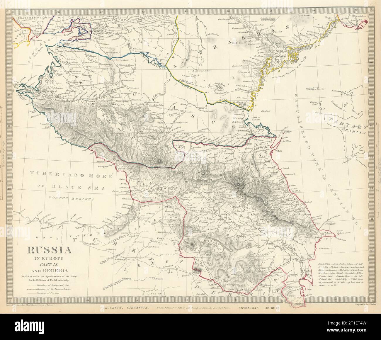 CAUCASUS. Russia Circassia Astrakhan Georgia Azerbaijan. SDUK 1844 old map Stock Photohttps://www.alamy.com/image-license-details/?v=1https://www.alamy.com/caucasus-russia-circassia-astrakhan-georgia-azerbaijan-sduk-1844-old-map-image568883081.html
RF2T1ET4W–CAUCASUS. Russia Circassia Astrakhan Georgia Azerbaijan. SDUK 1844 old map
 The ancient city of Khimki, located near Moscow, is depicted on various old maps. These maps showcase the city's development through the centuries, from its origins in the medieval period to its modern-day status as a suburban area of Moscow. Stock Photohttps://www.alamy.com/image-license-details/?v=1https://www.alamy.com/stock-photo-the-ancient-city-of-khimki-located-near-moscow-is-depicted-on-various-136652258.html
RMHX919P–The ancient city of Khimki, located near Moscow, is depicted on various old maps. These maps showcase the city's development through the centuries, from its origins in the medieval period to its modern-day status as a suburban area of Moscow.
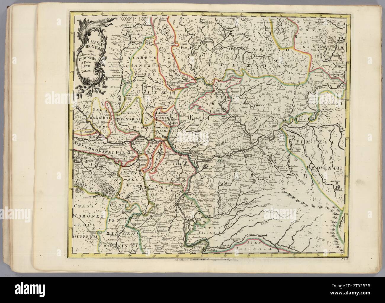 Russia Map, Map of Russia, Old Russia Map, Russland Karte, Mapa Rosji, Russia Plan, Russia Poster, Russia Maps, Russia Download, Russia Print Stock Photohttps://www.alamy.com/image-license-details/?v=1https://www.alamy.com/russia-map-map-of-russia-old-russia-map-russland-karte-mapa-rosji-russia-plan-russia-poster-russia-maps-russia-download-russia-print-image573526671.html
RF2T92B3B–Russia Map, Map of Russia, Old Russia Map, Russland Karte, Mapa Rosji, Russia Plan, Russia Poster, Russia Maps, Russia Download, Russia Print
 Old velikiye luki 8 Stock Photohttps://www.alamy.com/image-license-details/?v=1https://www.alamy.com/stock-photo-old-velikiye-luki-8-140284080.html
RMJ46DNM–Old velikiye luki 8
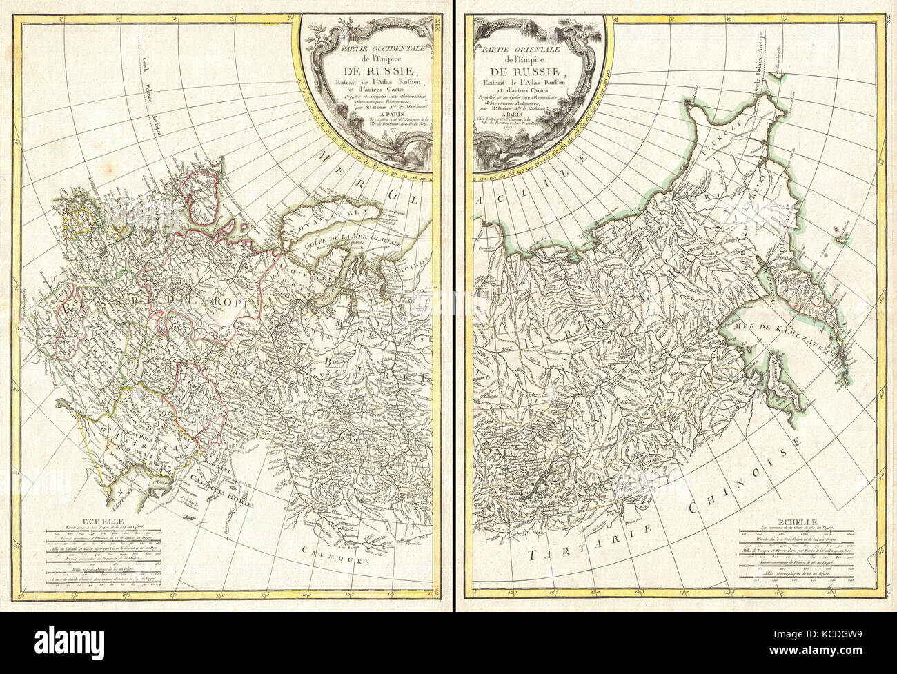 1771, Bonne Map of Russia, 2 maps, Rigobert Bonne 1727 – 1794, one of the most important cartographers of the late 18th century Stock Photohttps://www.alamy.com/image-license-details/?v=1https://www.alamy.com/stock-image-1771-bonne-map-of-russia-2-maps-rigobert-bonne-1727-1794-one-of-the-162567813.html
RMKCDGW9–1771, Bonne Map of Russia, 2 maps, Rigobert Bonne 1727 – 1794, one of the most important cartographers of the late 18th century
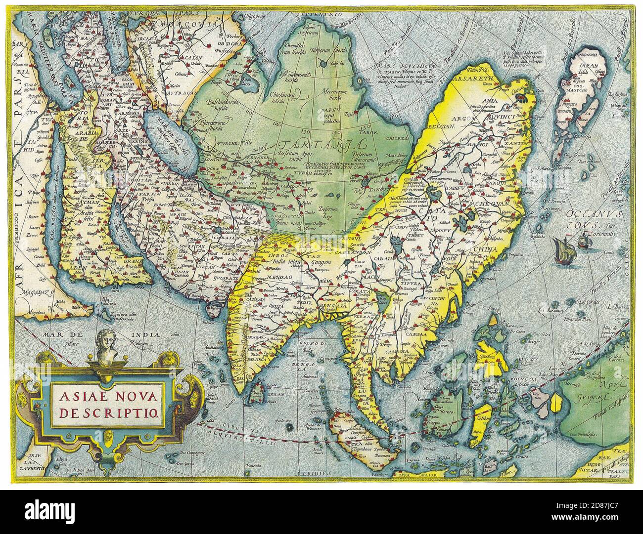 Antique Maps of the World. Map of Asia. Abraham Ortelius. c 1570. Stock Photohttps://www.alamy.com/image-license-details/?v=1https://www.alamy.com/antique-maps-of-the-world-map-of-asia-abraham-ortelius-c-1570-image383713463.html
RM2D87JC7–Antique Maps of the World. Map of Asia. Abraham Ortelius. c 1570.
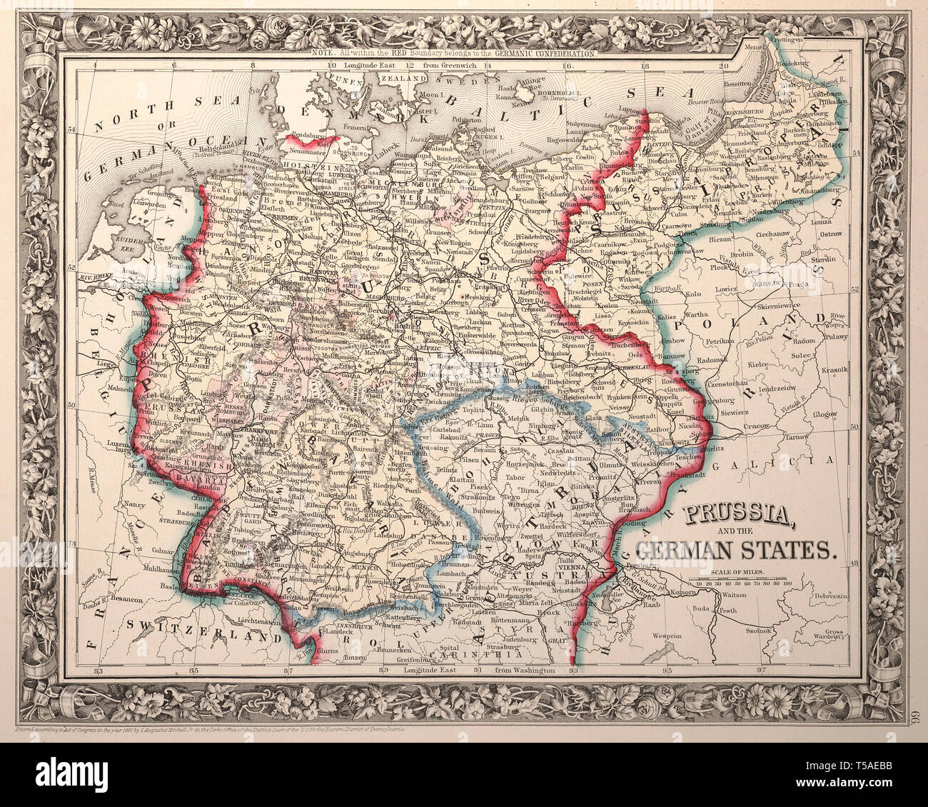 Beautiful vintage hand drawn map illustrations of Russia from old book. Can be used as poster or decorative element for interior design. Stock Photohttps://www.alamy.com/image-license-details/?v=1https://www.alamy.com/beautiful-vintage-hand-drawn-map-illustrations-of-russia-from-old-book-can-be-used-as-poster-or-decorative-element-for-interior-design-image244249247.html
RFT5AEBB–Beautiful vintage hand drawn map illustrations of Russia from old book. Can be used as poster or decorative element for interior design.
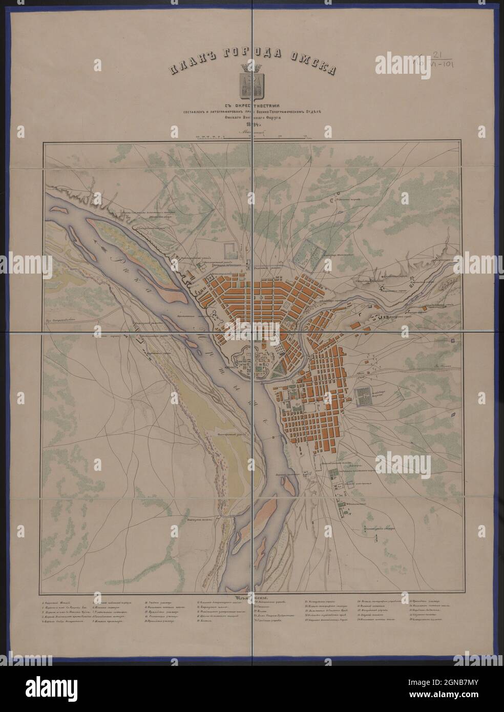 Omsk Map, Map of Omsk, Old Omsk Map, Russia Map, Map of Russia, Retro Omsk Map, Vintage Omsk Map, Omsk City, Retro Russia Map, Vintage Map of Russia Stock Photohttps://www.alamy.com/image-license-details/?v=1https://www.alamy.com/omsk-map-map-of-omsk-old-omsk-map-russia-map-map-of-russia-retro-omsk-map-vintage-omsk-map-omsk-city-retro-russia-map-vintage-map-of-russia-image443414523.html
RF2GNB7MY–Omsk Map, Map of Omsk, Old Omsk Map, Russia Map, Map of Russia, Retro Omsk Map, Vintage Omsk Map, Omsk City, Retro Russia Map, Vintage Map of Russia
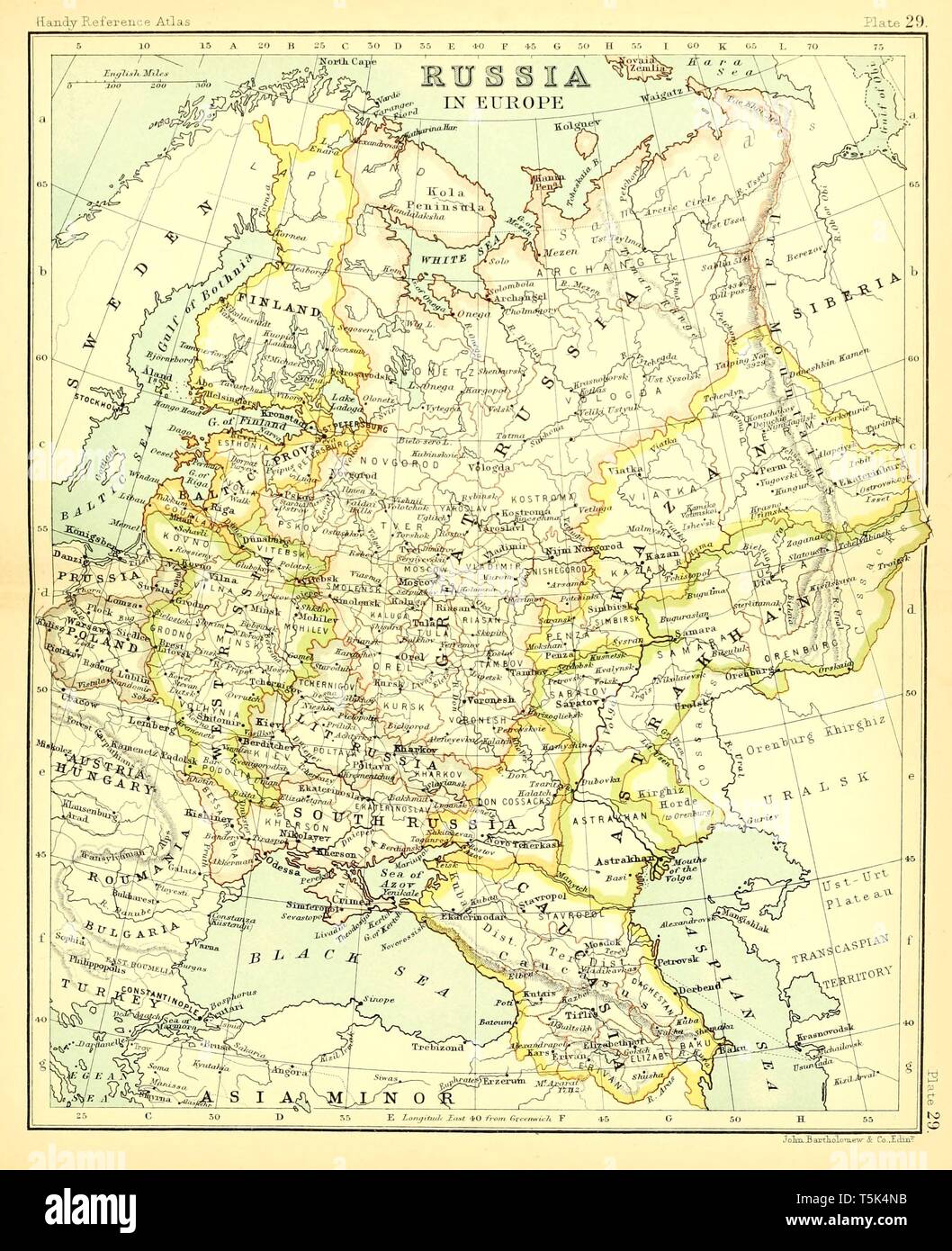 Beautiful vintage hand drawn map illustrations of Russia from old book. Can be used as poster or decorative element for interior design. Stock Photohttps://www.alamy.com/image-license-details/?v=1https://www.alamy.com/beautiful-vintage-hand-drawn-map-illustrations-of-russia-from-old-book-can-be-used-as-poster-or-decorative-element-for-interior-design-image244439255.html
RFT5K4NB–Beautiful vintage hand drawn map illustrations of Russia from old book. Can be used as poster or decorative element for interior design.
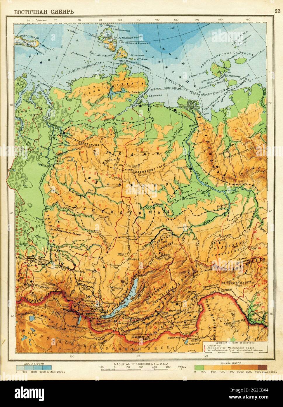 Russia Map, Old Map of Russia, Retro Map of Russia, Vintage Russia, Siberia Map, Old Siberia Map, Retro Siberia Map, Siberia, 1941 Map of Siberia Stock Photohttps://www.alamy.com/image-license-details/?v=1https://www.alamy.com/russia-map-old-map-of-russia-retro-map-of-russia-vintage-russia-siberia-map-old-siberia-map-retro-siberia-map-siberia-1941-map-of-siberia-image431761292.html
RF2G2CBX4–Russia Map, Old Map of Russia, Retro Map of Russia, Vintage Russia, Siberia Map, Old Siberia Map, Retro Siberia Map, Siberia, 1941 Map of Siberia
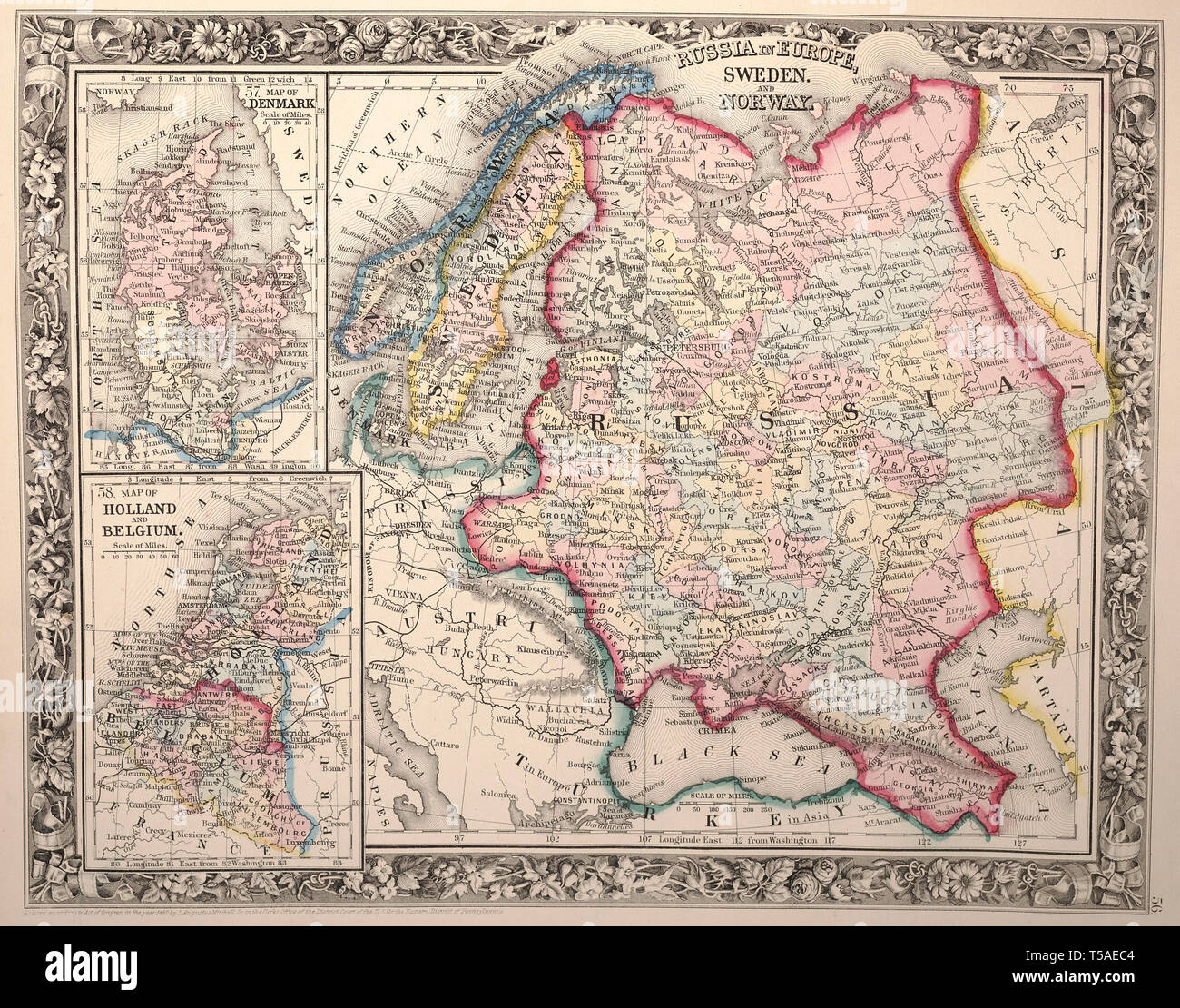 Beautiful vintage hand drawn map illustrations of Russia and Norway from old book. Can be used as poster or decorative element for interior design. Stock Photohttps://www.alamy.com/image-license-details/?v=1https://www.alamy.com/beautiful-vintage-hand-drawn-map-illustrations-of-russia-and-norway-from-old-book-can-be-used-as-poster-or-decorative-element-for-interior-design-image244249268.html
RFT5AEC4–Beautiful vintage hand drawn map illustrations of Russia and Norway from old book. Can be used as poster or decorative element for interior design.
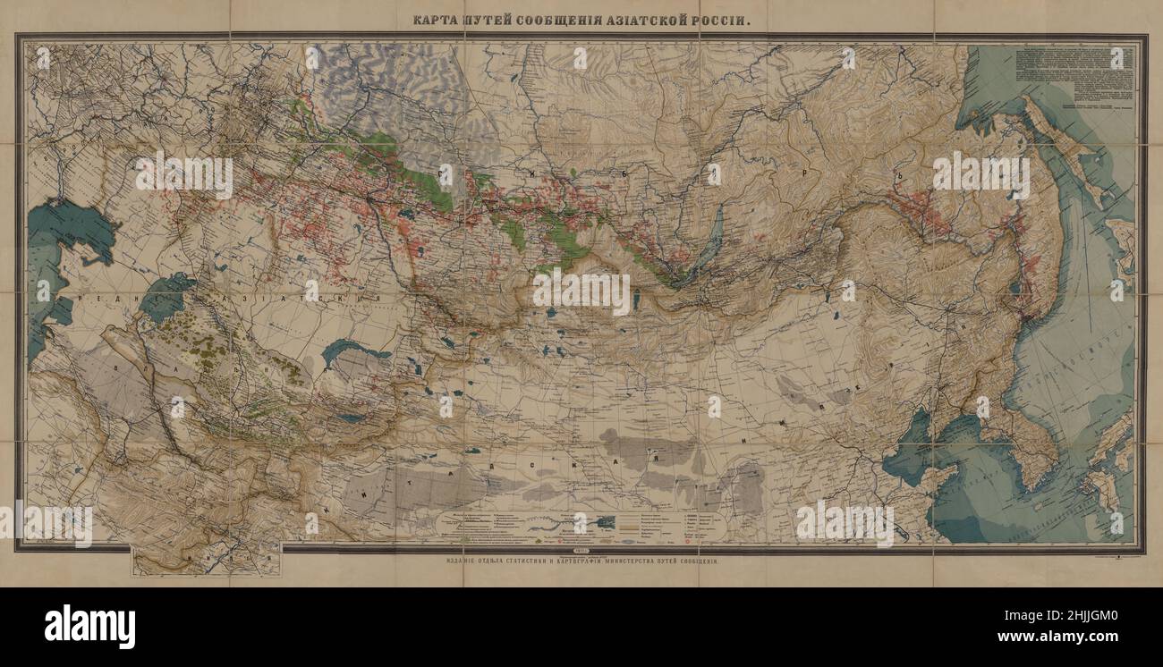 Tsarist Russia Railroad Map, Railroad Map of Russia, Railroad Map, Old Railroad Map, Vintage Map of Russia, Russia Print, Russia Plan, Russia Map Stock Photohttps://www.alamy.com/image-license-details/?v=1https://www.alamy.com/tsarist-russia-railroad-map-railroad-map-of-russia-railroad-map-old-railroad-map-vintage-map-of-russia-russia-print-russia-plan-russia-map-image458941616.html
RF2HJJGM0–Tsarist Russia Railroad Map, Railroad Map of Russia, Railroad Map, Old Railroad Map, Vintage Map of Russia, Russia Print, Russia Plan, Russia Map
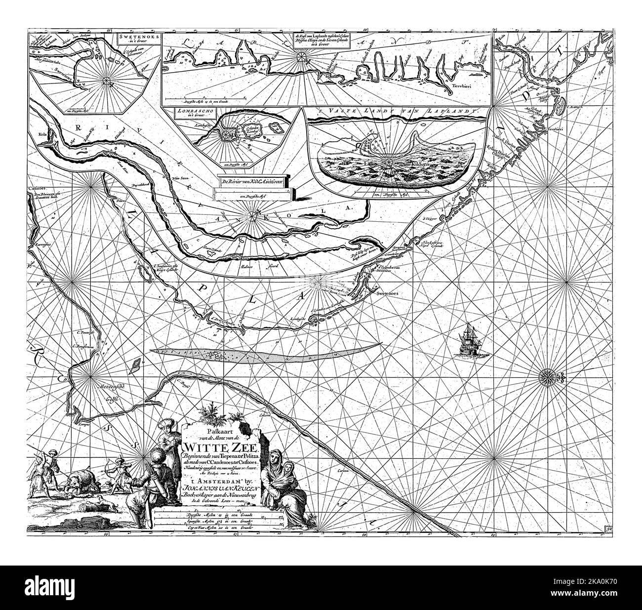 Passport map of part of the coast of the Kola in Russia, with four inset maps of Swyatoi Nos and part of the coast of Lapland, the Lumbovski Bay, the Stock Photohttps://www.alamy.com/image-license-details/?v=1https://www.alamy.com/passport-map-of-part-of-the-coast-of-the-kola-in-russia-with-four-inset-maps-of-swyatoi-nos-and-part-of-the-coast-of-lapland-the-lumbovski-bay-the-image488051956.html
RF2KA0K70–Passport map of part of the coast of the Kola in Russia, with four inset maps of Swyatoi Nos and part of the coast of Lapland, the Lumbovski Bay, the
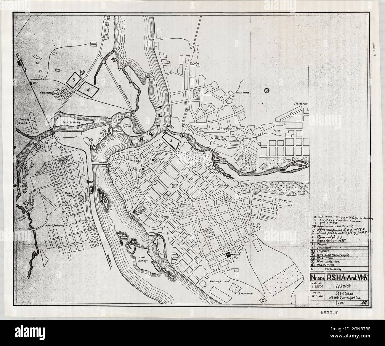 Irkutsk Map, Map of Irkutsk, Irkutsk Print, Old Irkutsk Map, Vintage Irkutsk Map, Retro Irkutsk Map, Russia Map, Map of Russia, Russia Print, Russia Stock Photohttps://www.alamy.com/image-license-details/?v=1https://www.alamy.com/irkutsk-map-map-of-irkutsk-irkutsk-print-old-irkutsk-map-vintage-irkutsk-map-retro-irkutsk-map-russia-map-map-of-russia-russia-print-russia-image443414259.html
RF2GNB7BF–Irkutsk Map, Map of Irkutsk, Irkutsk Print, Old Irkutsk Map, Vintage Irkutsk Map, Retro Irkutsk Map, Russia Map, Map of Russia, Russia Print, Russia
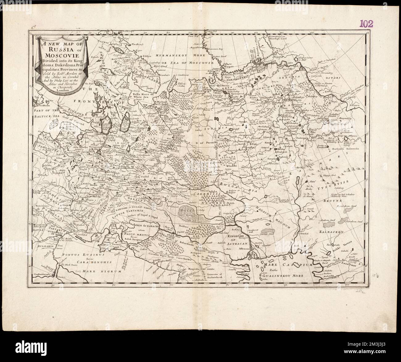 A new map of Russia or Moscovie divided into its Kingdoms, Dukedoms, Principalities, Provinces, &c , Russia, Maps, Early works to 1800 Norman B. Leventhal Map Center Collection Stock Photohttps://www.alamy.com/image-license-details/?v=1https://www.alamy.com/a-new-map-of-russia-or-moscovie-divided-into-its-kingdoms-dukedoms-principalities-provinces-c-russia-maps-early-works-to-1800-norman-b-leventhal-map-center-collection-image501342635.html
RM2M3J3J3–A new map of Russia or Moscovie divided into its Kingdoms, Dukedoms, Principalities, Provinces, &c , Russia, Maps, Early works to 1800 Norman B. Leventhal Map Center Collection
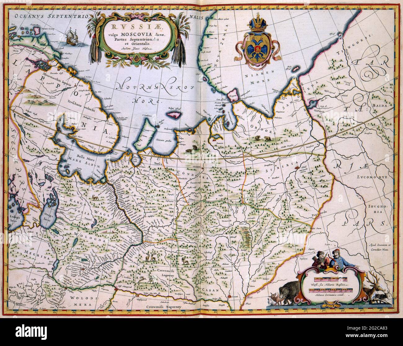 Russia Map, Map of Russia, Old Russia Map, Retro Russia Map, Vintage Russia Map, Retro Map of Russia, Russia Poster, Russia Plan, Russia Print, 1636 Stock Photohttps://www.alamy.com/image-license-details/?v=1https://www.alamy.com/russia-map-map-of-russia-old-russia-map-retro-russia-map-vintage-russia-map-retro-map-of-russia-russia-poster-russia-plan-russia-print-1636-image431760003.html
RF2G2CA83–Russia Map, Map of Russia, Old Russia Map, Retro Russia Map, Vintage Russia Map, Retro Map of Russia, Russia Poster, Russia Plan, Russia Print, 1636
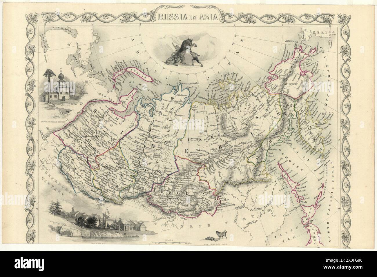 Vintage map titled Russia in Asia, London Printing and Publishing Company, post 1855 Stock Photohttps://www.alamy.com/image-license-details/?v=1https://www.alamy.com/vintage-map-titled-russia-in-asia-london-printing-and-publishing-company-post-1855-image602704934.html
RM2X0FG86–Vintage map titled Russia in Asia, London Printing and Publishing Company, post 1855
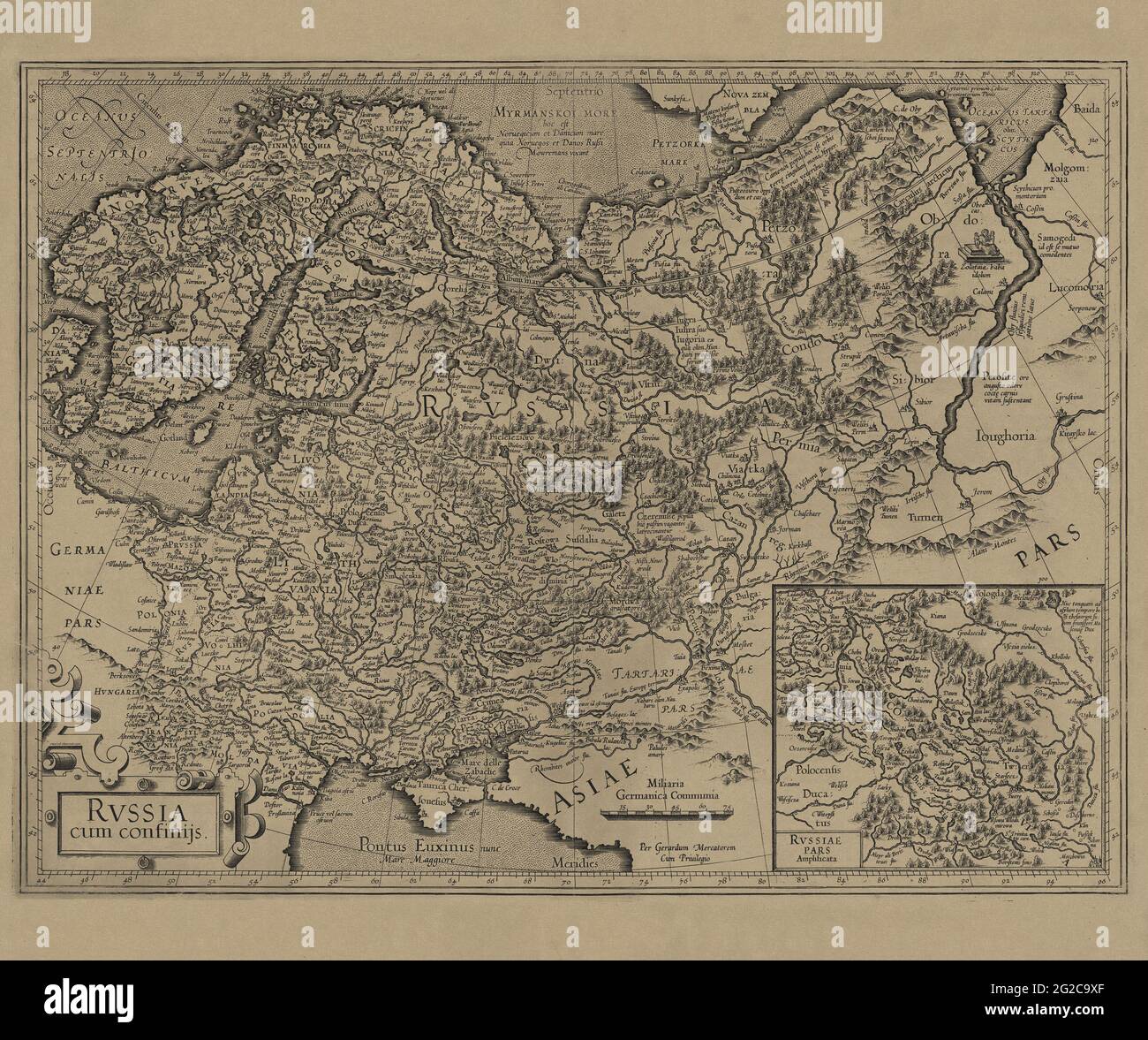 Russia Map, Map of Russia, Old Russia Map, Retro Russia Map, Vintage Russia Map, Retro Map of Russia, Russia Poster, Russia Plan, Russia Print, 1606 Stock Photohttps://www.alamy.com/image-license-details/?v=1https://www.alamy.com/russia-map-map-of-russia-old-russia-map-retro-russia-map-vintage-russia-map-retro-map-of-russia-russia-poster-russia-plan-russia-print-1606-image431759735.html
RF2G2C9XF–Russia Map, Map of Russia, Old Russia Map, Retro Russia Map, Vintage Russia Map, Retro Map of Russia, Russia Poster, Russia Plan, Russia Print, 1606
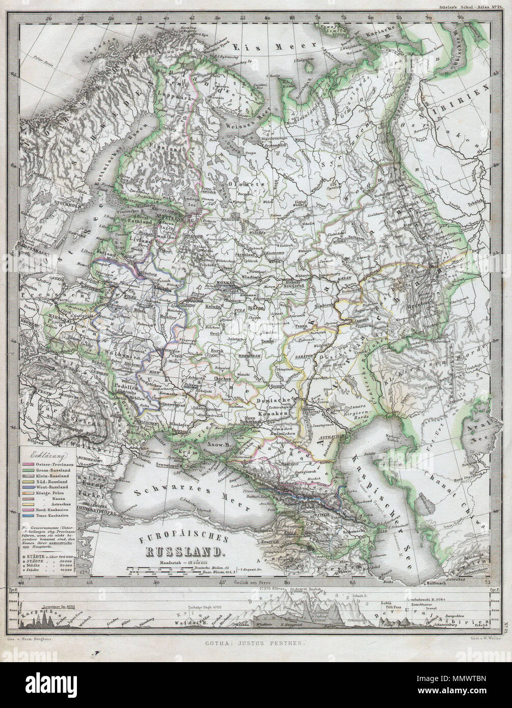 . English: This fascinating 1862 map by Justus Perthes and Stieler depicts the European part of Russia. In a cartographic flourish unique to Perthes, the bottom of the map is adorned with a elevation profile chart. Unlike other cartographic publishers of the period, the Justus Perthes firm, did not transition to lithographic printing techniques until the early 1870s. Instead, all of his maps are copper plate engravings and hence offer a level of character and depth of detail that was impossible to find in lithography or wax-process engraving. All text in German. Issued in the 1862 edition of Stock Photohttps://www.alamy.com/image-license-details/?v=1https://www.alamy.com/english-this-fascinating-1862-map-by-justus-perthes-and-stieler-depicts-the-european-part-of-russia-in-a-cartographic-flourish-unique-to-perthes-the-bottom-of-the-map-is-adorned-with-a-elevation-profile-chart-unlike-other-cartographic-publishers-of-the-period-the-justus-perthes-firm-did-not-transition-to-lithographic-printing-techniques-until-the-early-1870s-instead-all-of-his-maps-are-copper-plate-engravings-and-hence-offer-a-level-of-character-and-depth-of-detail-that-was-impossible-to-find-in-lithography-or-wax-process-engraving-all-text-in-german-issued-in-the-1862-edition-of-image184964745.html
RMMMWTBN–. English: This fascinating 1862 map by Justus Perthes and Stieler depicts the European part of Russia. In a cartographic flourish unique to Perthes, the bottom of the map is adorned with a elevation profile chart. Unlike other cartographic publishers of the period, the Justus Perthes firm, did not transition to lithographic printing techniques until the early 1870s. Instead, all of his maps are copper plate engravings and hence offer a level of character and depth of detail that was impossible to find in lithography or wax-process engraving. All text in German. Issued in the 1862 edition of
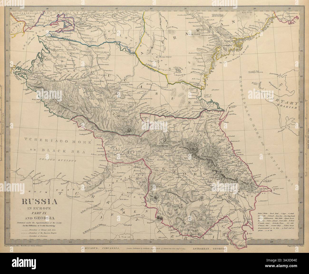 CAUCASUS. Russia Circassia Astrakhan Georgia Azerbaijan. SDUK 1844 old map Stock Photohttps://www.alamy.com/image-license-details/?v=1https://www.alamy.com/caucasus-russia-circassia-astrakhan-georgia-azerbaijan-sduk-1844-old-map-image656123454.html
RF3A3D04E–CAUCASUS. Russia Circassia Astrakhan Georgia Azerbaijan. SDUK 1844 old map
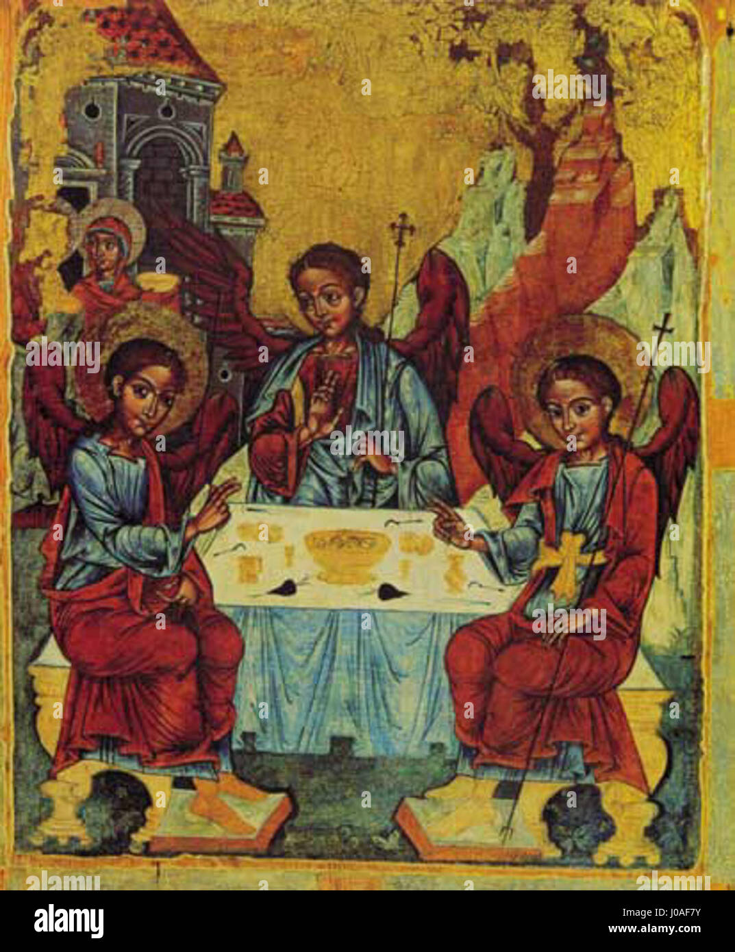 'Atlases and Maps of Russia in the 17th Century on 18th Century Paper' is a historical collection of Russian maps and atlases created in the 17th century, preserved on 18th-century paper, showcasing Russia's geographical history. Stock Photohttps://www.alamy.com/image-license-details/?v=1https://www.alamy.com/stock-photo-atlases-and-maps-of-russia-in-the-17th-century-on-18th-century-paper-137914447.html
RMJ0AF7Y–'Atlases and Maps of Russia in the 17th Century on 18th Century Paper' is a historical collection of Russian maps and atlases created in the 17th century, preserved on 18th-century paper, showcasing Russia's geographical history.
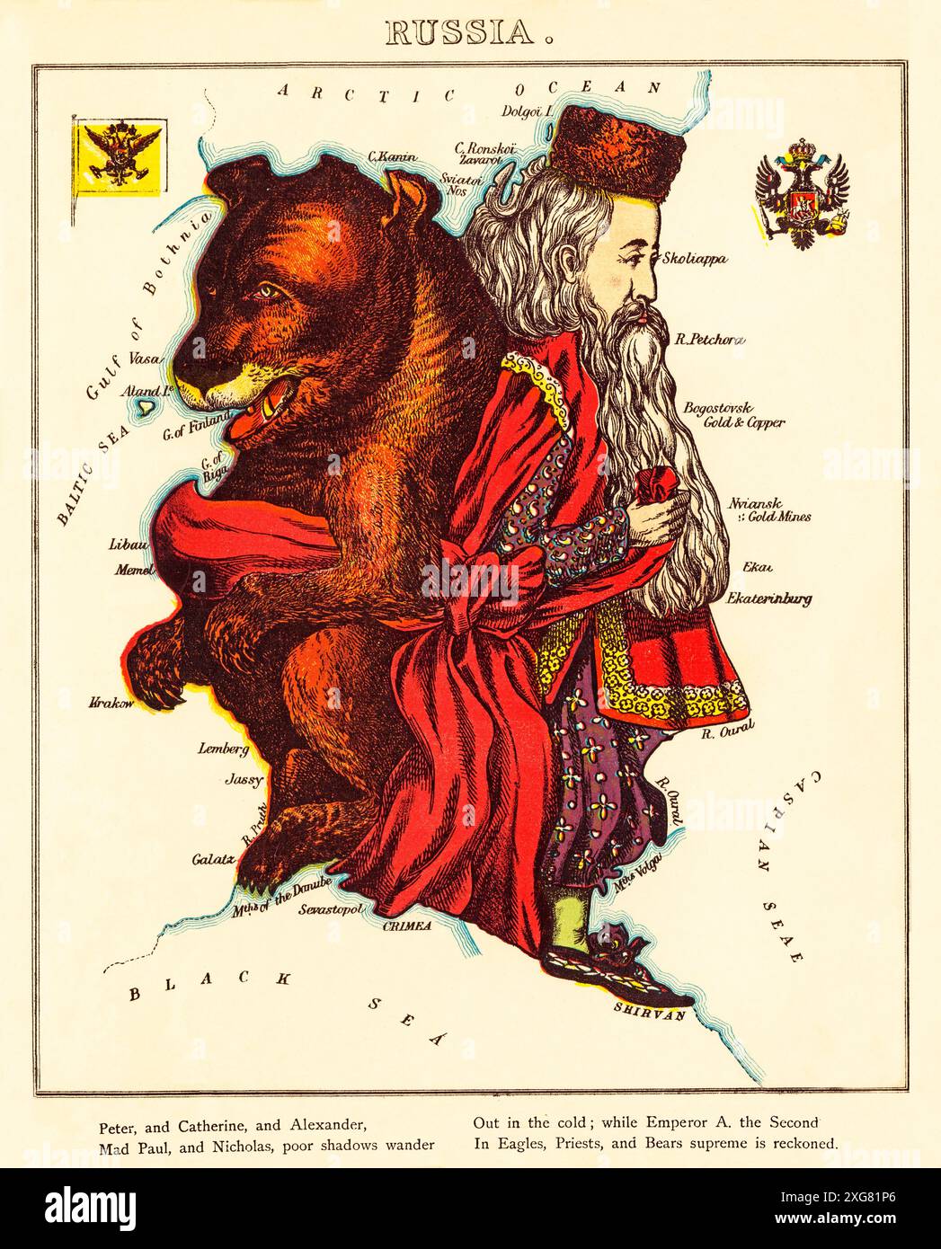 A cartoon map of Western Russia from the second half of the 19th-century featuring a Russian Bear and a Tsar. Designed and painted by Elizabeth Lilian Lancaster, (1852-1939), an amateur artist who created a series of humorous maps of European countries. Stock Photohttps://www.alamy.com/image-license-details/?v=1https://www.alamy.com/a-cartoon-map-of-western-russia-from-the-second-half-of-the-19th-century-featuring-a-russian-bear-and-a-tsar-designed-and-painted-by-elizabeth-lilian-lancaster-1852-1939-an-amateur-artist-who-created-a-series-of-humorous-maps-of-european-countries-image612374398.html
RM2XG81P6–A cartoon map of Western Russia from the second half of the 19th-century featuring a Russian Bear and a Tsar. Designed and painted by Elizabeth Lilian Lancaster, (1852-1939), an amateur artist who created a series of humorous maps of European countries.
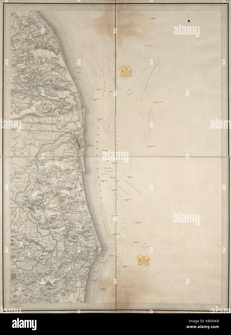 This image depicts an old map of Lotarevo, illustrating the region’s historical geography. It reflects the mapping techniques used in earlier centuries to document Russian territories. Stock Photohttps://www.alamy.com/image-license-details/?v=1https://www.alamy.com/stock-image-this-image-depicts-an-old-map-of-lotarevo-illustrating-the-regions-162242287.html
RMKBXNKB–This image depicts an old map of Lotarevo, illustrating the region’s historical geography. It reflects the mapping techniques used in earlier centuries to document Russian territories.
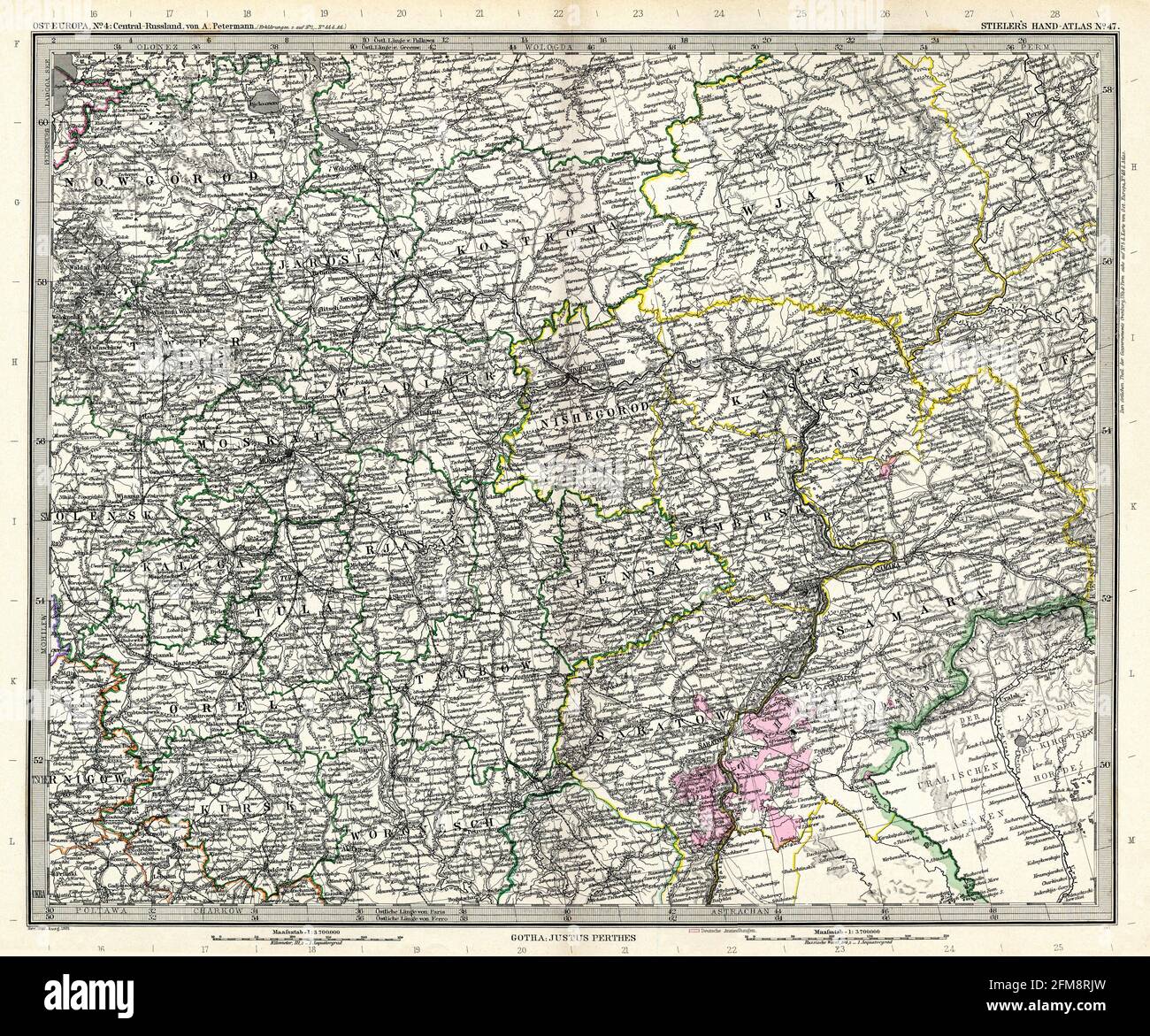 Vintage copper engraved map of Russia from 19th century. All maps are beautifully colored and illustrated showing the world at the time. Stock Photohttps://www.alamy.com/image-license-details/?v=1https://www.alamy.com/vintage-copper-engraved-map-of-russia-from-19th-century-all-maps-are-beautifully-colored-and-illustrated-showing-the-world-at-the-time-image425536129.html
RF2FM8RJW–Vintage copper engraved map of Russia from 19th century. All maps are beautifully colored and illustrated showing the world at the time.
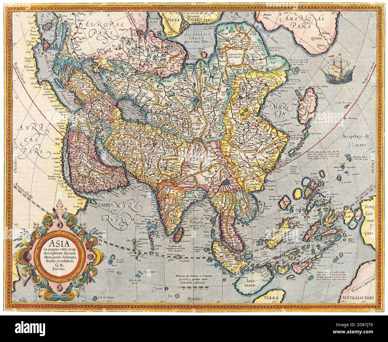 Antique Maps of the World Map of Asia Jodocus Hondius c 1620 Stock Photohttps://www.alamy.com/image-license-details/?v=1https://www.alamy.com/antique-maps-of-the-world-map-of-asia-jodocus-hondius-c-1620-image383713322.html
RM2D87J76–Antique Maps of the World Map of Asia Jodocus Hondius c 1620
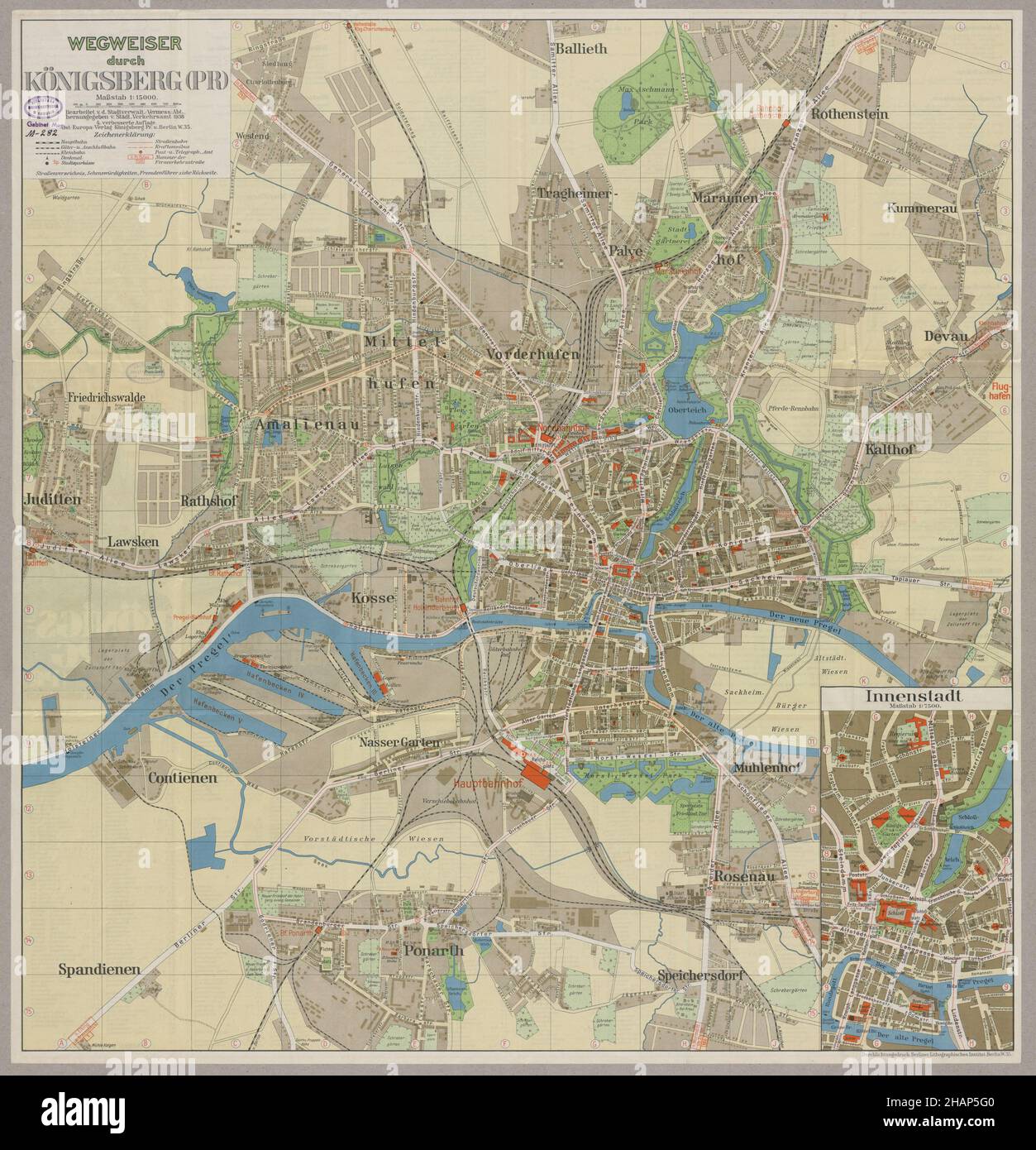 Königsberg Map, Königsberg Plan, Old Königsberg Map, Retro Königsberg Print, Kaliningrad Map, Kaliningrad Plan, Kaliningrad City, Russia Map, Russia Stock Photohttps://www.alamy.com/image-license-details/?v=1https://www.alamy.com/knigsberg-map-knigsberg-plan-old-knigsberg-map-retro-knigsberg-print-kaliningrad-map-kaliningrad-plan-kaliningrad-city-russia-map-russia-image454103440.html
RF2HAP5G0–Königsberg Map, Königsberg Plan, Old Königsberg Map, Retro Königsberg Print, Kaliningrad Map, Kaliningrad Plan, Kaliningrad City, Russia Map, Russia
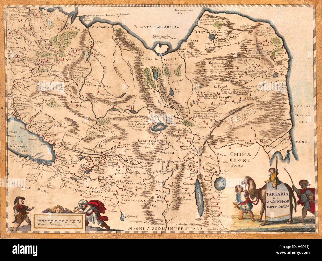 Map Of Asia 1650 Stock Photohttps://www.alamy.com/image-license-details/?v=1https://www.alamy.com/stock-photo-map-of-asia-1650-130795410.html
RFHGP6TJ–Map Of Asia 1650
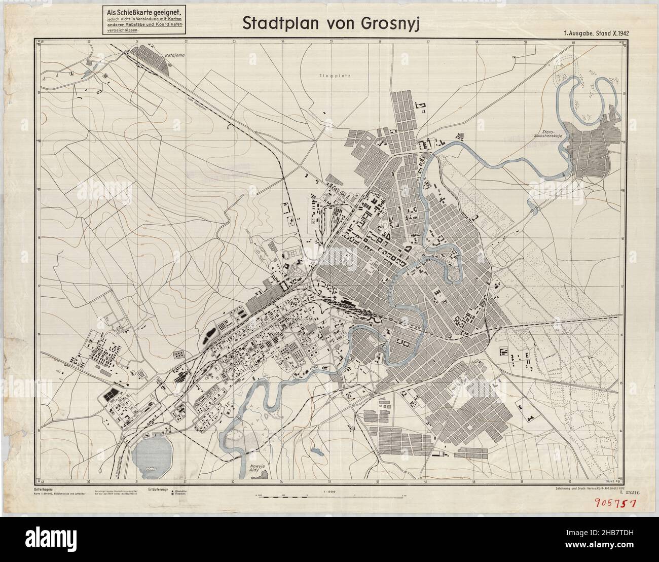 Stadtplan von Grosnyj, Grozny Map, Old Map of Grozny, Retro Map of Grozny, Vintage Map of Grozny, Grozny Plan, Grozny Print, Grozny Poster, Russia Map Stock Photohttps://www.alamy.com/image-license-details/?v=1https://www.alamy.com/stadtplan-von-grosnyj-grozny-map-old-map-of-grozny-retro-map-of-grozny-vintage-map-of-grozny-grozny-plan-grozny-print-grozny-poster-russia-map-image454403645.html
RF2HB7TDH–Stadtplan von Grosnyj, Grozny Map, Old Map of Grozny, Retro Map of Grozny, Vintage Map of Grozny, Grozny Plan, Grozny Print, Grozny Poster, Russia Map
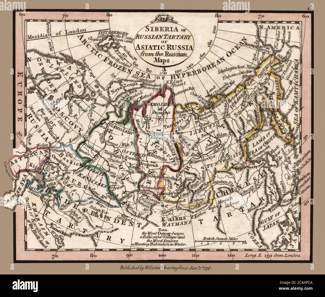 'Siberia or Russian Tartary or Asiatic Russia from the Russian maps.' Map shows political borders and important landmarks. This is a beautifully detailed historic map reproduction. Original from a British atlas published by famed cartographer William Faden was created circa 1798. Stock Photohttps://www.alamy.com/image-license-details/?v=1https://www.alamy.com/siberia-or-russian-tartary-or-asiatic-russia-from-the-russian-maps-map-shows-political-borders-and-important-landmarks-this-is-a-beautifully-detailed-historic-map-reproduction-original-from-a-british-atlas-published-by-famed-cartographer-william-faden-was-created-circa-1798-image367949578.html
RM2CAHFCA–'Siberia or Russian Tartary or Asiatic Russia from the Russian maps.' Map shows political borders and important landmarks. This is a beautifully detailed historic map reproduction. Original from a British atlas published by famed cartographer William Faden was created circa 1798.
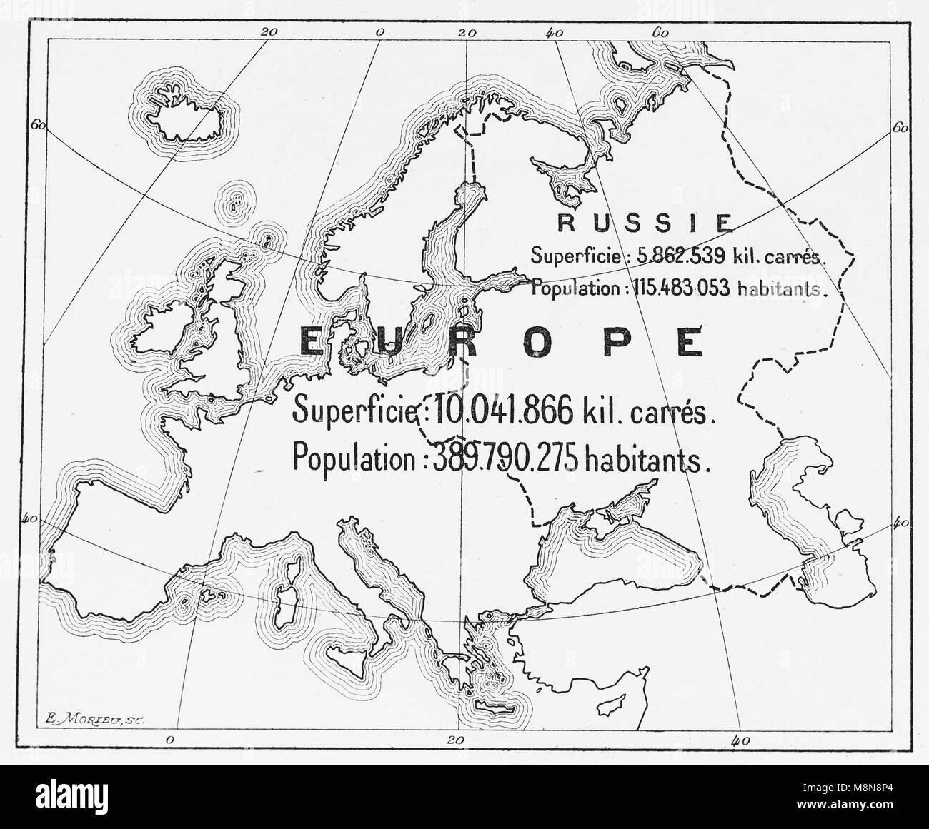 Map of Europe and European part of Russia in 1900, Picture from the French weekly newspaper l'Illustration, 27th October 1900 Stock Photohttps://www.alamy.com/image-license-details/?v=1https://www.alamy.com/stock-photo-map-of-europe-and-european-part-of-russia-in-1900-picture-from-the-177488812.html
RFM8N8P4–Map of Europe and European part of Russia in 1900, Picture from the French weekly newspaper l'Illustration, 27th October 1900
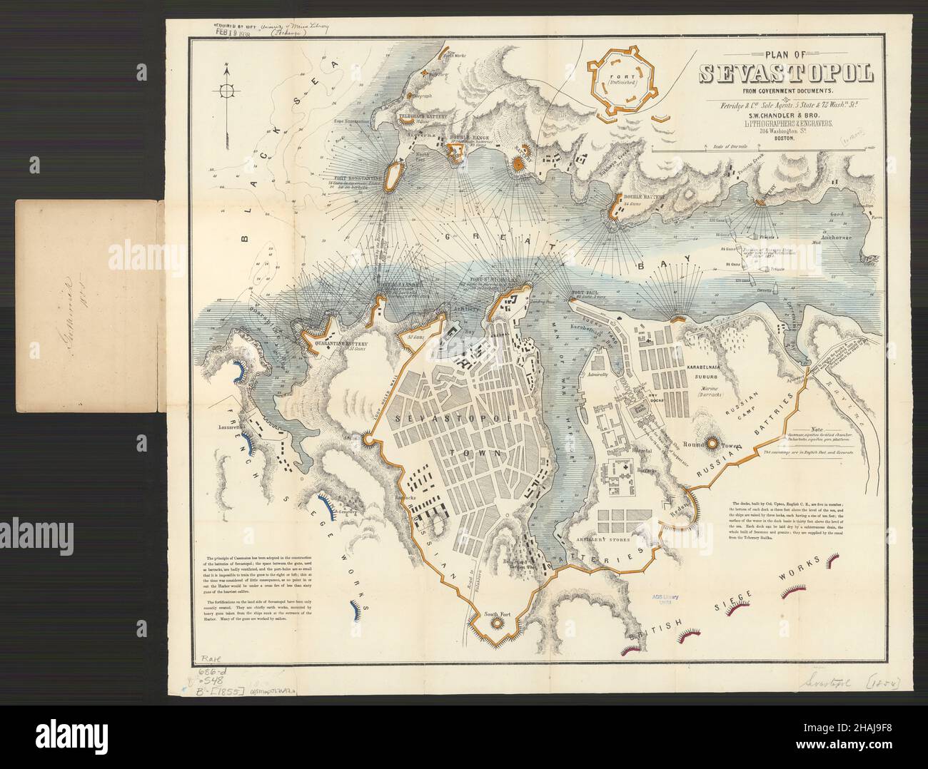 Sevastopol in 1855: A Detailed Historical Map, Sevastopol Map, Map of Sevastopol, Old Sevastopol Print, Retro Sevastopol Plan, Vintage Sevastopol Post Stock Photohttps://www.alamy.com/image-license-details/?v=1https://www.alamy.com/sevastopol-in-1855-a-detailed-historical-map-sevastopol-map-map-of-sevastopol-old-sevastopol-print-retro-sevastopol-plan-vintage-sevastopol-post-image454018748.html
RF2HAJ9F8–Sevastopol in 1855: A Detailed Historical Map, Sevastopol Map, Map of Sevastopol, Old Sevastopol Print, Retro Sevastopol Plan, Vintage Sevastopol Post
![Map of of Manhattan and part of the Bronx showing location of racial populations published 1920, restored reproduction. Originally the map was a product of fear that certain 'unassimilated' groups might have seditious sympathies ('The Red Scare') at the time of the Bolshevik Revolution in Russia . [Also see a similar map of Manhattan]. This map was a commercial edition based on state government maps produced by the New York State Joint Legislative Committee to Investigate Seditious Activities. Nowadays, the map can be viewed as reflecting the nation's ethnic and immigration heritage. Stock Photo Map of of Manhattan and part of the Bronx showing location of racial populations published 1920, restored reproduction. Originally the map was a product of fear that certain 'unassimilated' groups might have seditious sympathies ('The Red Scare') at the time of the Bolshevik Revolution in Russia . [Also see a similar map of Manhattan]. This map was a commercial edition based on state government maps produced by the New York State Joint Legislative Committee to Investigate Seditious Activities. Nowadays, the map can be viewed as reflecting the nation's ethnic and immigration heritage. Stock Photo](https://c8.alamy.com/comp/2ABHJ0T/map-of-of-manhattan-and-part-of-the-bronx-showing-location-of-racial-populations-published-1920-restored-reproduction-originally-the-map-was-a-product-of-fear-that-certain-unassimilated-groups-might-have-seditious-sympathies-the-red-scare-at-the-time-of-the-bolshevik-revolution-in-russia-also-see-a-similar-map-of-manhattan-this-map-was-a-commercial-edition-based-on-state-government-maps-produced-by-the-new-york-state-joint-legislative-committee-to-investigate-seditious-activities-nowadays-the-map-can-be-viewed-as-reflecting-the-nations-ethnic-and-immigration-heritage-2ABHJ0T.jpg) Map of of Manhattan and part of the Bronx showing location of racial populations published 1920, restored reproduction. Originally the map was a product of fear that certain 'unassimilated' groups might have seditious sympathies ('The Red Scare') at the time of the Bolshevik Revolution in Russia . [Also see a similar map of Manhattan]. This map was a commercial edition based on state government maps produced by the New York State Joint Legislative Committee to Investigate Seditious Activities. Nowadays, the map can be viewed as reflecting the nation's ethnic and immigration heritage. Stock Photohttps://www.alamy.com/image-license-details/?v=1https://www.alamy.com/map-of-of-manhattan-and-part-of-the-bronx-showing-location-of-racial-populations-published-1920-restored-reproduction-originally-the-map-was-a-product-of-fear-that-certain-unassimilated-groups-might-have-seditious-sympathies-the-red-scare-at-the-time-of-the-bolshevik-revolution-in-russia-also-see-a-similar-map-of-manhattan-this-map-was-a-commercial-edition-based-on-state-government-maps-produced-by-the-new-york-state-joint-legislative-committee-to-investigate-seditious-activities-nowadays-the-map-can-be-viewed-as-reflecting-the-nations-ethnic-and-immigration-heritage-image334145528.html
Map of of Manhattan and part of the Bronx showing location of racial populations published 1920, restored reproduction. Originally the map was a product of fear that certain 'unassimilated' groups might have seditious sympathies ('The Red Scare') at the time of the Bolshevik Revolution in Russia . [Also see a similar map of Manhattan]. This map was a commercial edition based on state government maps produced by the New York State Joint Legislative Committee to Investigate Seditious Activities. Nowadays, the map can be viewed as reflecting the nation's ethnic and immigration heritage. Stock Photohttps://www.alamy.com/image-license-details/?v=1https://www.alamy.com/map-of-of-manhattan-and-part-of-the-bronx-showing-location-of-racial-populations-published-1920-restored-reproduction-originally-the-map-was-a-product-of-fear-that-certain-unassimilated-groups-might-have-seditious-sympathies-the-red-scare-at-the-time-of-the-bolshevik-revolution-in-russia-also-see-a-similar-map-of-manhattan-this-map-was-a-commercial-edition-based-on-state-government-maps-produced-by-the-new-york-state-joint-legislative-committee-to-investigate-seditious-activities-nowadays-the-map-can-be-viewed-as-reflecting-the-nations-ethnic-and-immigration-heritage-image334145528.htmlRM2ABHJ0T–Map of of Manhattan and part of the Bronx showing location of racial populations published 1920, restored reproduction. Originally the map was a product of fear that certain 'unassimilated' groups might have seditious sympathies ('The Red Scare') at the time of the Bolshevik Revolution in Russia . [Also see a similar map of Manhattan]. This map was a commercial edition based on state government maps produced by the New York State Joint Legislative Committee to Investigate Seditious Activities. Nowadays, the map can be viewed as reflecting the nation's ethnic and immigration heritage.
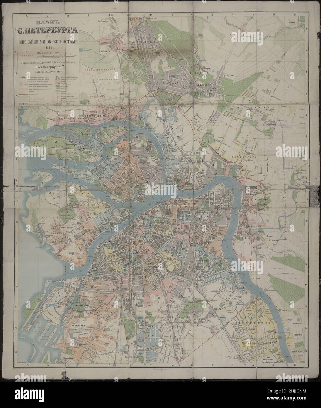 Saint Petersburg Map, Saint Petersburg Plan, Saint Petersburg Print, Saint Petersburg Poster, Saint Petersburg Map Art, Old Saint Petersburg Poster Stock Photohttps://www.alamy.com/image-license-details/?v=1https://www.alamy.com/saint-petersburg-map-saint-petersburg-plan-saint-petersburg-print-saint-petersburg-poster-saint-petersburg-map-art-old-saint-petersburg-poster-image458941664.html
RF2HJJGNM–Saint Petersburg Map, Saint Petersburg Plan, Saint Petersburg Print, Saint Petersburg Poster, Saint Petersburg Map Art, Old Saint Petersburg Poster
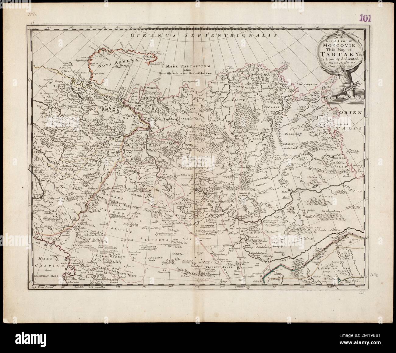 To the Great Czar of Moscovie this Map of Tartary &c. is humbly dedicated , Eurasia, Maps, Early works to 1800, Russia, Maps, Early works to 1800 Norman B. Leventhal Map Center Collection Stock Photohttps://www.alamy.com/image-license-details/?v=1https://www.alamy.com/to-the-great-czar-of-moscovie-this-map-of-tartary-c-is-humbly-dedicated-eurasia-maps-early-works-to-1800-russia-maps-early-works-to-1800-norman-b-leventhal-map-center-collection-image499921829.html
RM2M19BB1–To the Great Czar of Moscovie this Map of Tartary &c. is humbly dedicated , Eurasia, Maps, Early works to 1800, Russia, Maps, Early works to 1800 Norman B. Leventhal Map Center Collection
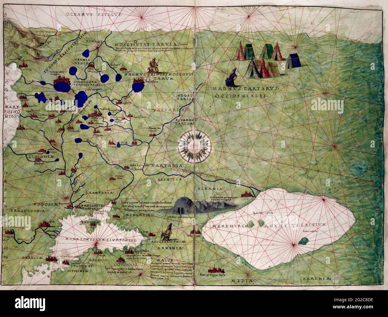 Grand Duchy of Moscow Map, Moscovia Map, Map of Moscovia, Muscovite Russia, Muscovite Russia Map, Map of Muscovite Russia, Muscovite Rus, Moscow Map Stock Photohttps://www.alamy.com/image-license-details/?v=1https://www.alamy.com/grand-duchy-of-moscow-map-moscovia-map-map-of-moscovia-muscovite-russia-muscovite-russia-map-map-of-muscovite-russia-muscovite-rus-moscow-map-image431758586.html
RF2G2C8DE–Grand Duchy of Moscow Map, Moscovia Map, Map of Moscovia, Muscovite Russia, Muscovite Russia Map, Map of Muscovite Russia, Muscovite Rus, Moscow Map
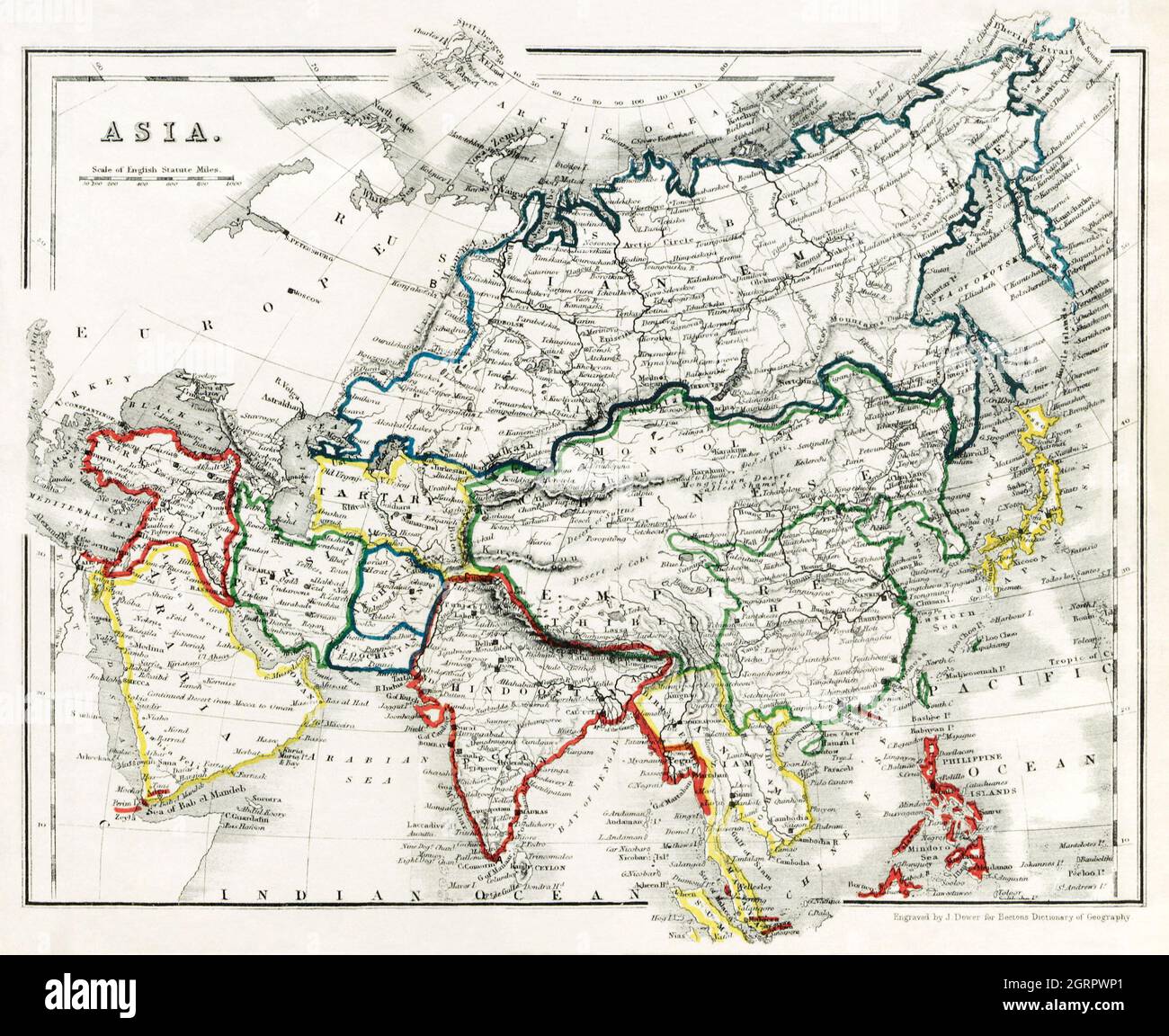 Beeton's Dictionary of Geography. A universal gazetteer. Illustrated by maps (1868) by Samuel Orchart Beeton. Map of Asia. Stock Photohttps://www.alamy.com/image-license-details/?v=1https://www.alamy.com/beetons-dictionary-of-geography-a-universal-gazetteer-illustrated-by-maps-1868-by-samuel-orchart-beeton-map-of-asia-image444899449.html
RM2GRPWP1–Beeton's Dictionary of Geography. A universal gazetteer. Illustrated by maps (1868) by Samuel Orchart Beeton. Map of Asia.
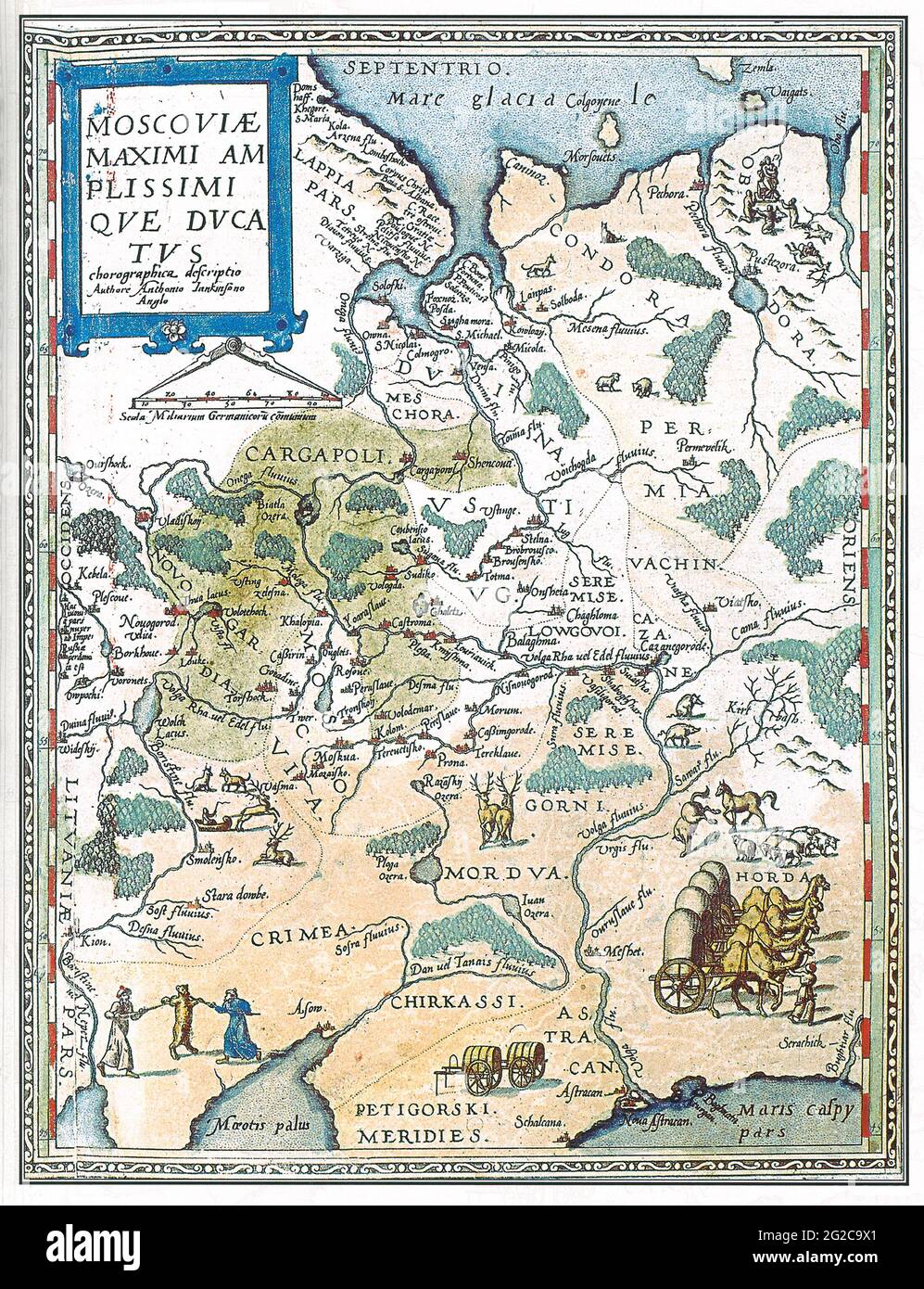 Grand Duchy of Moscow Map, Moscovia Map, Map of Moscovia, Muscovite Russia, Muscovite Russia Map, Map of Muscovite Russia, Muscovite Rus, Moscow Map Stock Photohttps://www.alamy.com/image-license-details/?v=1https://www.alamy.com/grand-duchy-of-moscow-map-moscovia-map-map-of-moscovia-muscovite-russia-muscovite-russia-map-map-of-muscovite-russia-muscovite-rus-moscow-map-image431759721.html
RF2G2C9X1–Grand Duchy of Moscow Map, Moscovia Map, Map of Moscovia, Muscovite Russia, Muscovite Russia Map, Map of Muscovite Russia, Muscovite Rus, Moscow Map
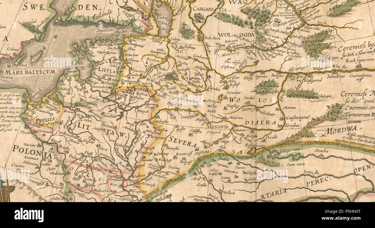 19 1645 Kiow detail of Tabula Russiae by Blaeu Stock Photohttps://www.alamy.com/image-license-details/?v=1https://www.alamy.com/19-1645-kiow-detail-of-tabula-russiae-by-blaeu-image209988096.html
RMP5HNXT–19 1645 Kiow detail of Tabula Russiae by Blaeu
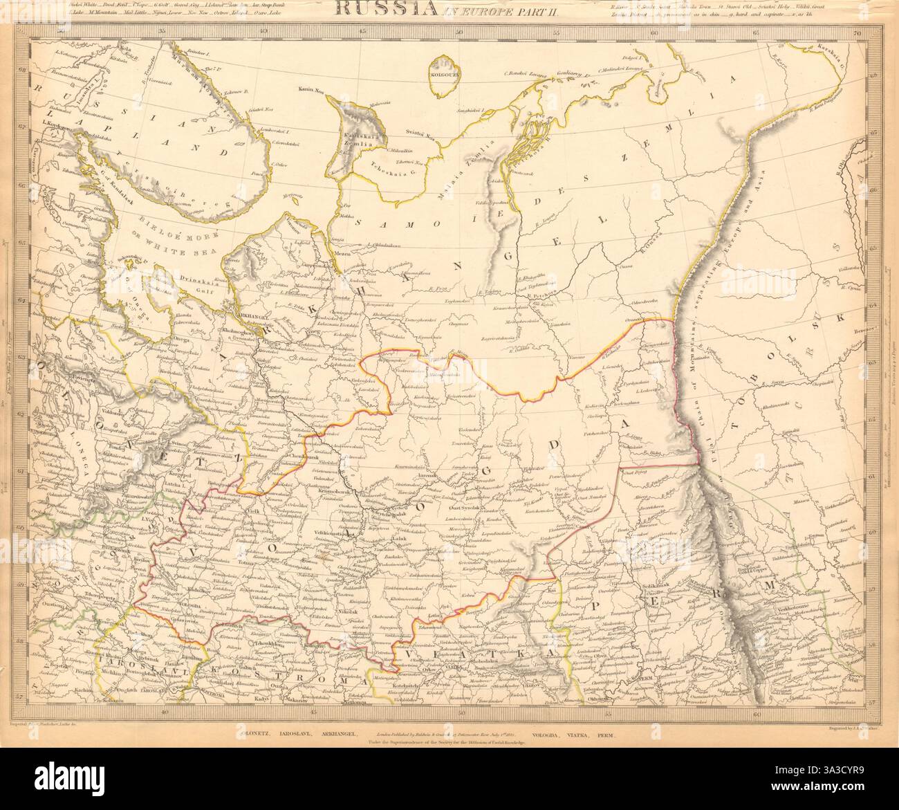 RUSSIA.Arkhangelsk Vologda VIatka Perm Olontez Iaroslavl.SDUK 1844 old map Stock Photohttps://www.alamy.com/image-license-details/?v=1https://www.alamy.com/russiaarkhangelsk-vologda-viatka-perm-olontez-iaroslavlsduk-1844-old-map-image656123197.html
RF3A3CYR9–RUSSIA.Arkhangelsk Vologda VIatka Perm Olontez Iaroslavl.SDUK 1844 old map
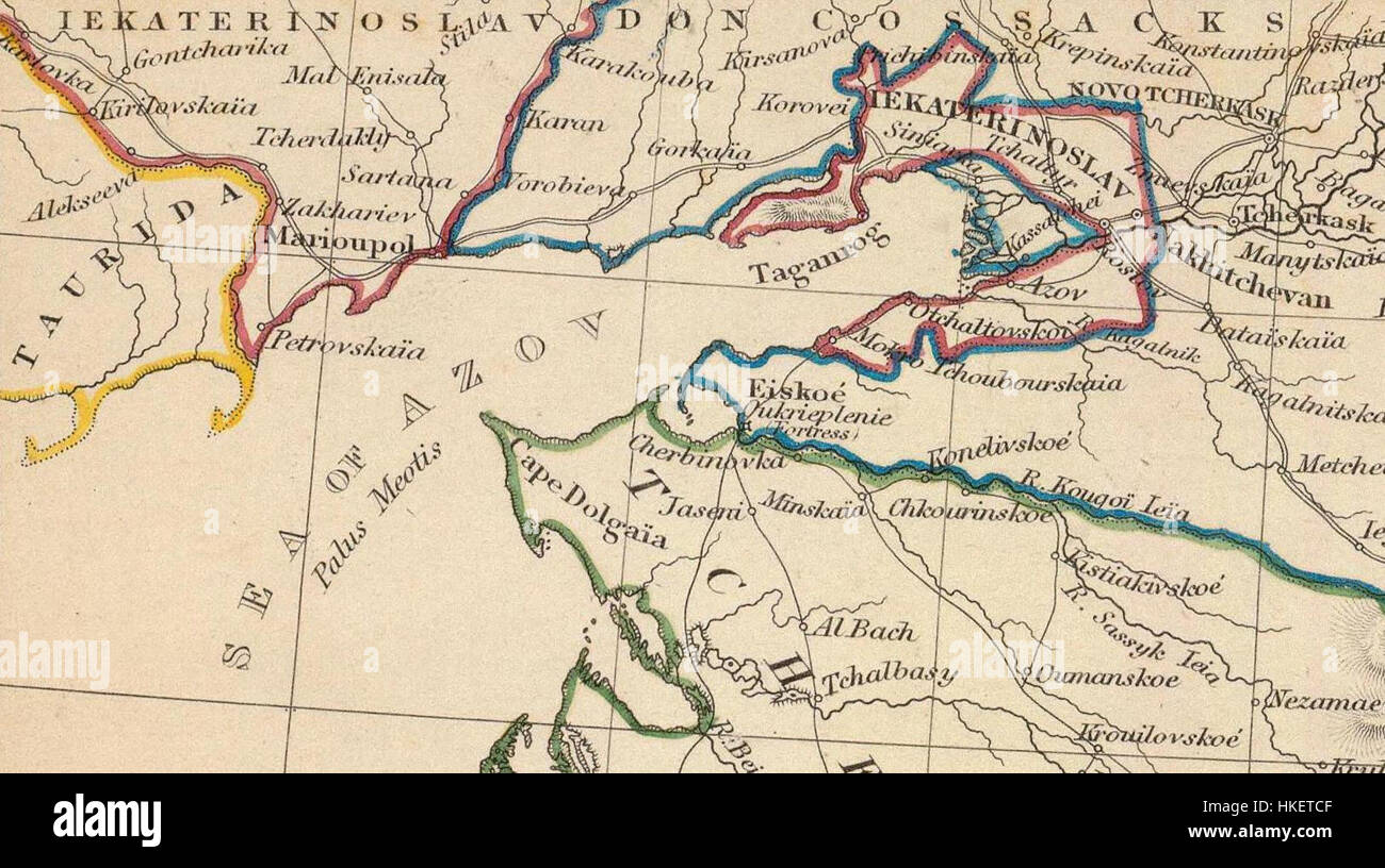 This 1835 map, published by the Society for the Diffusion of Useful Knowledge, illustrates Russia in Europe and Georgia, providing geographical and political insights of the time. Stock Photohttps://www.alamy.com/image-license-details/?v=1https://www.alamy.com/stock-photo-this-1835-map-published-by-the-society-for-the-diffusion-of-useful-132477535.html
RMHKETCF–This 1835 map, published by the Society for the Diffusion of Useful Knowledge, illustrates Russia in Europe and Georgia, providing geographical and political insights of the time.
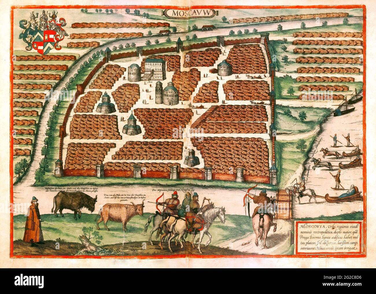 Grand Duchy of Moscow Map, Moscovia Map, Map of Moscovia, Muscovite Russia, Muscovite Russia Map, Map of Muscovite Russia, Muscovite Rus, Moscow Map Stock Photohttps://www.alamy.com/image-license-details/?v=1https://www.alamy.com/grand-duchy-of-moscow-map-moscovia-map-map-of-moscovia-muscovite-russia-muscovite-russia-map-map-of-muscovite-russia-muscovite-rus-moscow-map-image431758578.html
RF2G2C8D6–Grand Duchy of Moscow Map, Moscovia Map, Map of Moscovia, Muscovite Russia, Muscovite Russia Map, Map of Muscovite Russia, Muscovite Rus, Moscow Map
 The Shubert map likely refers to a historical or geographical map of the Novgorod region in Russia. The specific coordinates (3v R7L12) could indicate a precise location or reference point within the map's grid, shedding light on Novgorod's landscape and infrastructure. Stock Photohttps://www.alamy.com/image-license-details/?v=1https://www.alamy.com/stock-photo-the-shubert-map-likely-refers-to-a-historical-or-geographical-map-140495070.html
RMJ4G2W2–The Shubert map likely refers to a historical or geographical map of the Novgorod region in Russia. The specific coordinates (3v R7L12) could indicate a precise location or reference point within the map's grid, shedding light on Novgorod's landscape and infrastructure.
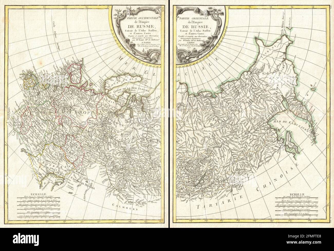 Vintage copper engraved map of Russia from 18th century. All maps are beautifully colored and illustrated showing the world at the time. Stock Photohttps://www.alamy.com/image-license-details/?v=1https://www.alamy.com/vintage-copper-engraved-map-of-russia-from-18th-century-all-maps-are-beautifully-colored-and-illustrated-showing-the-world-at-the-time-image425690448.html
RF2FMFTE8–Vintage copper engraved map of Russia from 18th century. All maps are beautifully colored and illustrated showing the world at the time.
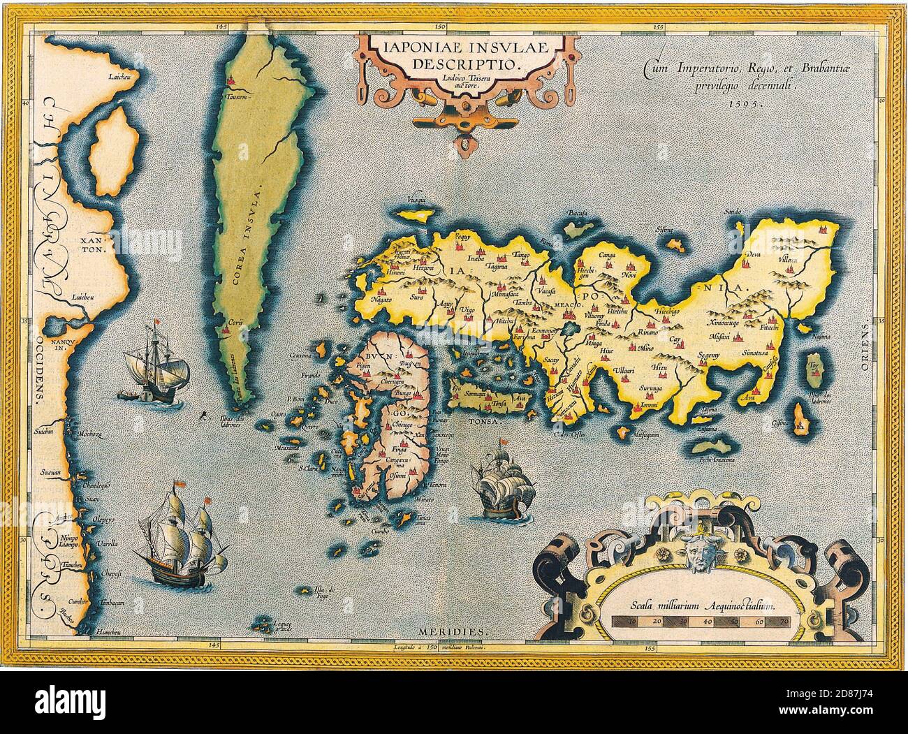 Antique Maps of the World Map of Japan Abraham Ortelius c 1590 Stock Photohttps://www.alamy.com/image-license-details/?v=1https://www.alamy.com/antique-maps-of-the-world-map-of-japan-abraham-ortelius-c-1590-image383713320.html
RM2D87J74–Antique Maps of the World Map of Japan Abraham Ortelius c 1590
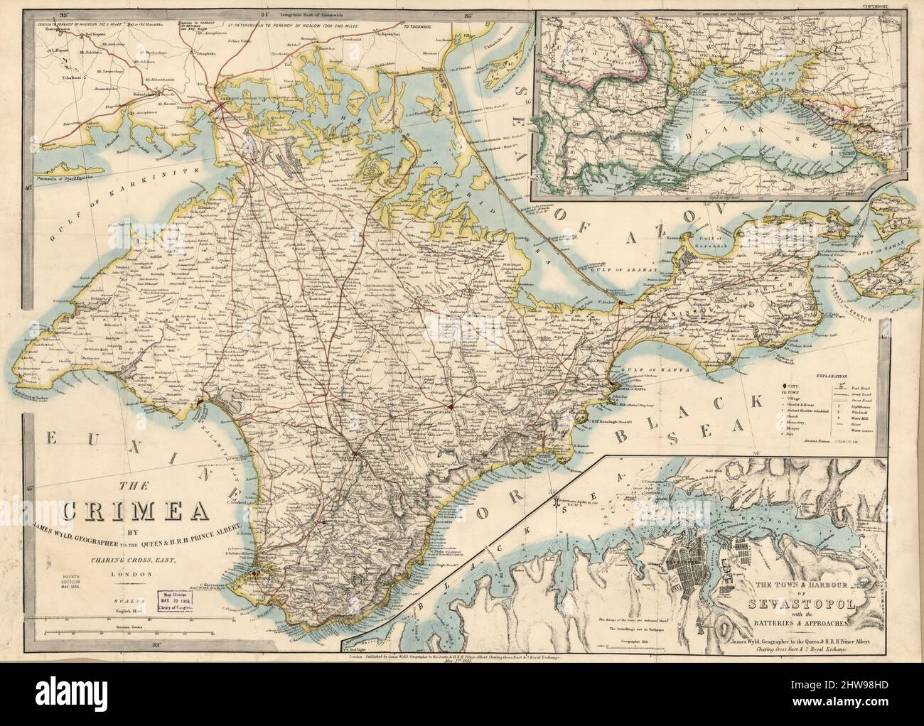 Vintage color map of Crimea ca. 1855 Stock Photohttps://www.alamy.com/image-license-details/?v=1https://www.alamy.com/vintage-color-map-of-crimea-ca-1855-image463040297.html
RM2HW98HD–Vintage color map of Crimea ca. 1855
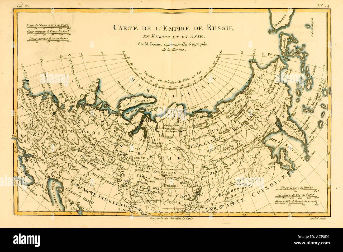 Map of Russia circa 1760 Stock Photohttps://www.alamy.com/image-license-details/?v=1https://www.alamy.com/map-of-russia-circa-1760-image2449616.html
RMACP0D1–Map of Russia circa 1760
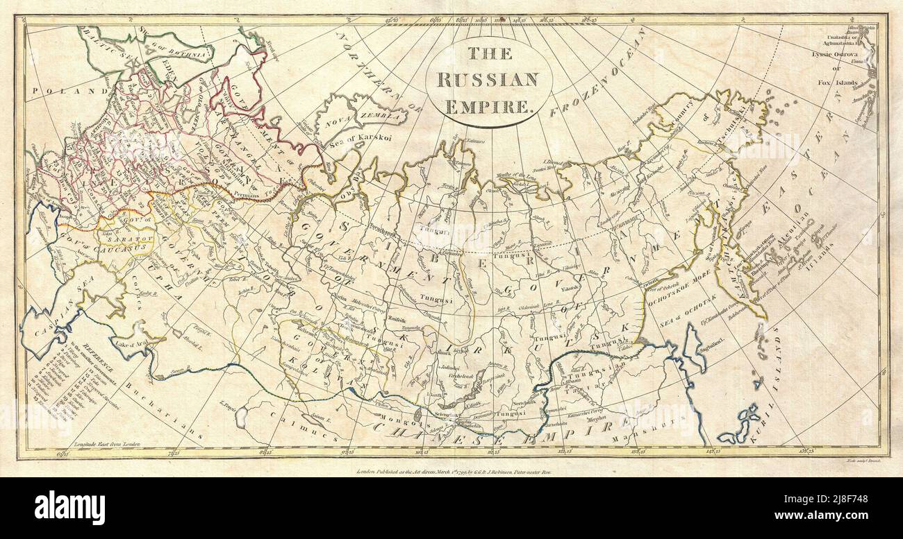 Vintage map ca 1799 of the Russian Empire or Imperial Russia by Clement Cruttwell Stock Photohttps://www.alamy.com/image-license-details/?v=1https://www.alamy.com/vintage-map-ca-1799-of-the-russian-empire-or-imperial-russia-by-clement-cruttwell-image469932072.html
RM2J8F748–Vintage map ca 1799 of the Russian Empire or Imperial Russia by Clement Cruttwell
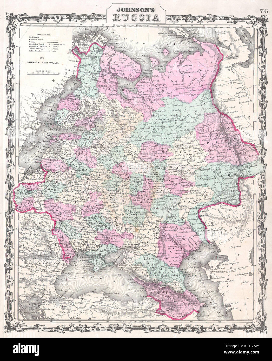 1862, Johnson Map of Russia Stock Photohttps://www.alamy.com/image-license-details/?v=1https://www.alamy.com/stock-image-1862-johnson-map-of-russia-162576315.html
RMKCDYMY–1862, Johnson Map of Russia
 Moscoviæ seu Russiæ magnæ generalis tabula quâ Lapponia, Norvegia, Suecia, Dania, Polonia, maximæq partes Germaniæ... (Map of Russia and surrounding regions). Hand-colored map of Russia and neighboring territories, created by Nicolaes Visscher between 1677–1679. The map outlines borders in yellow with regions shaded in different colors. Decorative cartouche on the right features the title flanked by putti and wind heads, while a wind rose is shown in the lower right. A mileage scale in Russian and German miles appears at lower left. Illustrations of animals, ships, and buildings are scattered. Stock Photohttps://www.alamy.com/image-license-details/?v=1https://www.alamy.com/moscovi-seu-russi-magn-generalis-tabula-qu-lapponia-norvegia-suecia-dania-polonia-maximq-partes-germani-map-of-russia-and-surrounding-regions-hand-colored-map-of-russia-and-neighboring-territories-created-by-nicolaes-visscher-between-16771679-the-map-outlines-borders-in-yellow-with-regions-shaded-in-different-colors-decorative-cartouche-on-the-right-features-the-title-flanked-by-putti-and-wind-heads-while-a-wind-rose-is-shown-in-the-lower-right-a-mileage-scale-in-russian-and-german-miles-appears-at-lower-left-illustrations-of-animals-ships-and-buildings-are-scattered-image699565949.html
RF3CJ3YE5–Moscoviæ seu Russiæ magnæ generalis tabula quâ Lapponia, Norvegia, Suecia, Dania, Polonia, maximæq partes Germaniæ... (Map of Russia and surrounding regions). Hand-colored map of Russia and neighboring territories, created by Nicolaes Visscher between 1677–1679. The map outlines borders in yellow with regions shaded in different colors. Decorative cartouche on the right features the title flanked by putti and wind heads, while a wind rose is shown in the lower right. A mileage scale in Russian and German miles appears at lower left. Illustrations of animals, ships, and buildings are scattered.
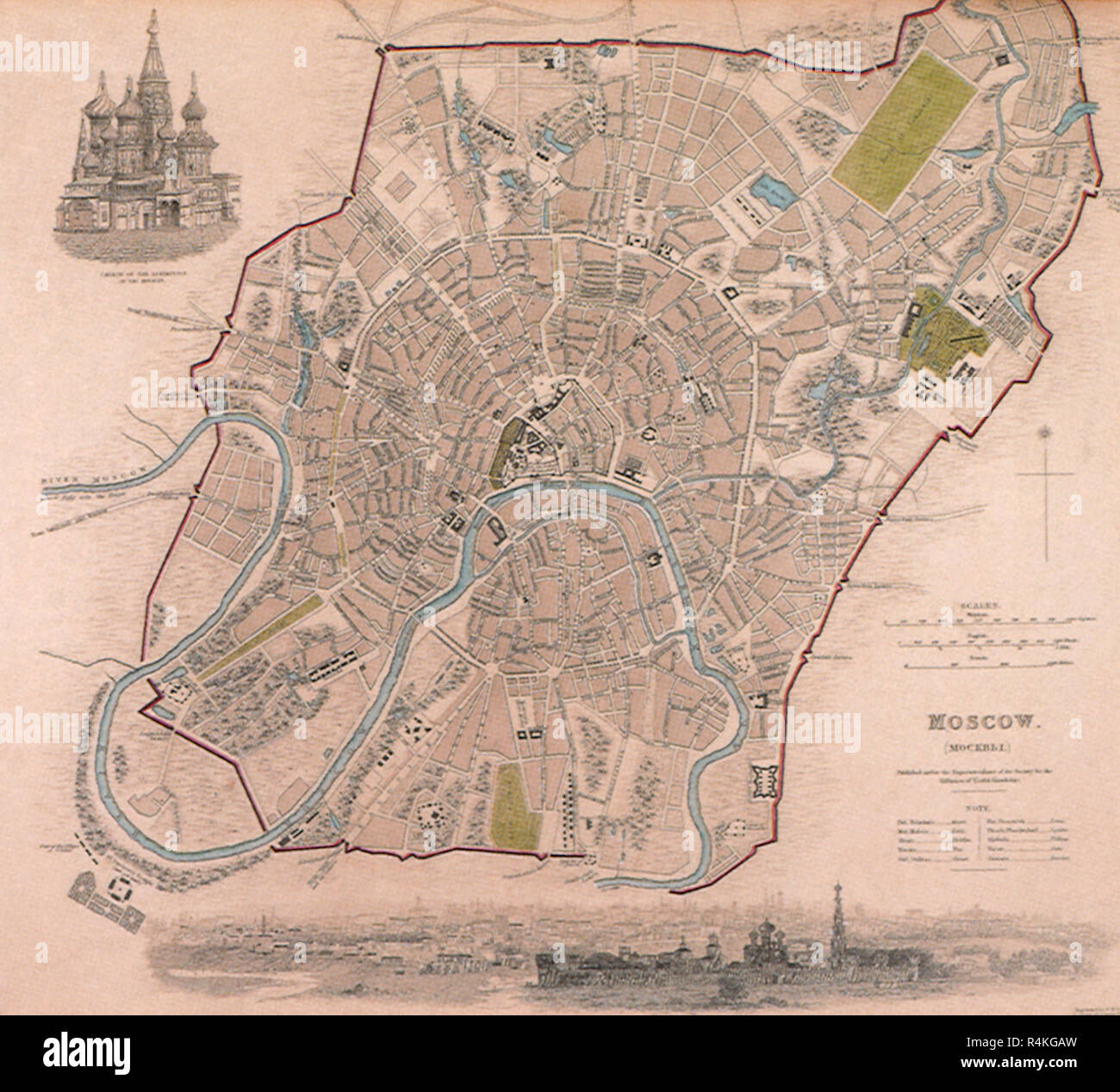 Map of Moscow. 1844, Society for the Diffusion of U. Stock Photohttps://www.alamy.com/image-license-details/?v=1https://www.alamy.com/map-of-moscow-1844-society-for-the-diffusion-of-u-image226623345.html
RMR4KGAW–Map of Moscow. 1844, Society for the Diffusion of U.
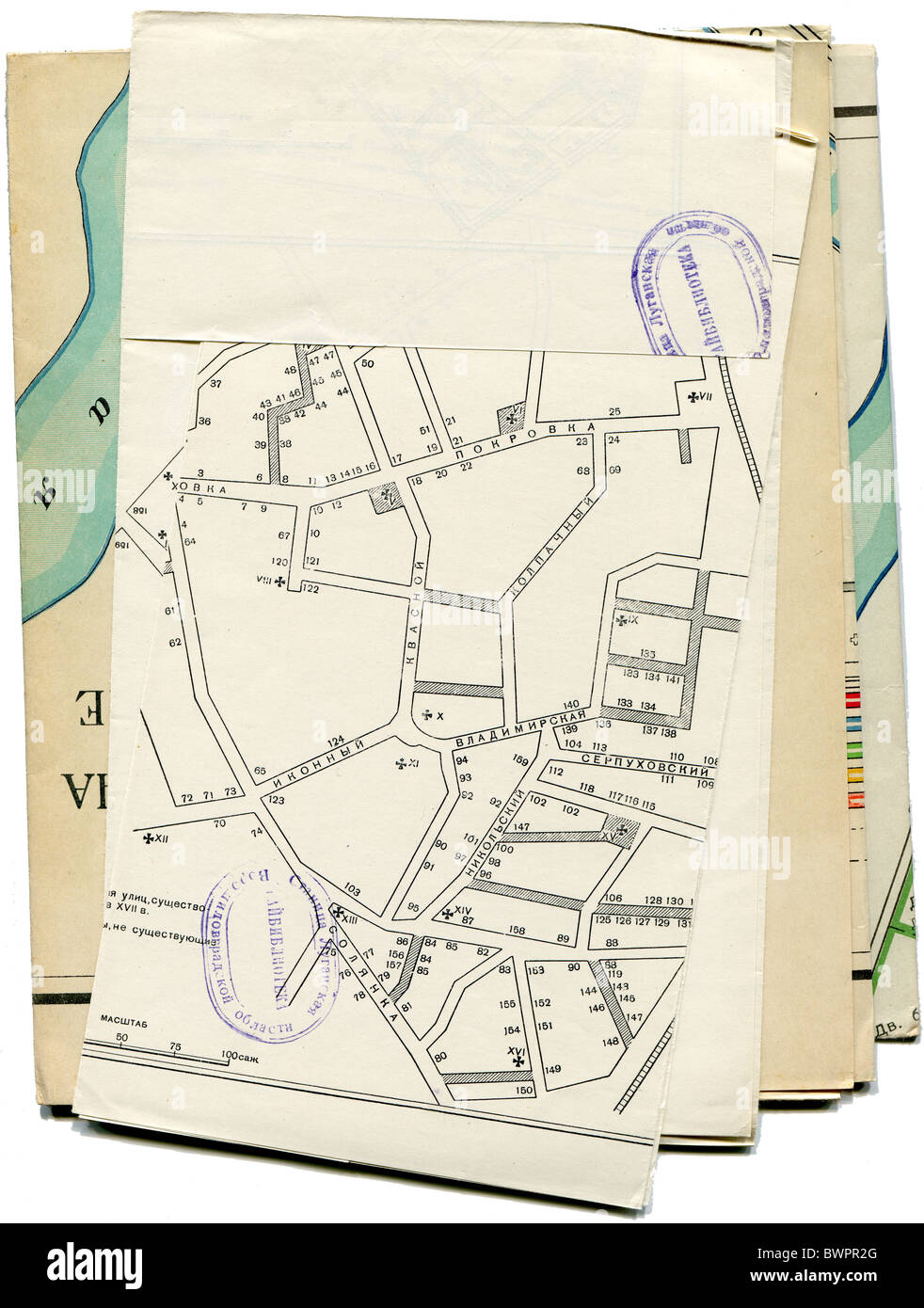 old and worn Moskow maps isolated on white background Stock Photohttps://www.alamy.com/image-license-details/?v=1https://www.alamy.com/stock-photo-old-and-worn-moskow-maps-isolated-on-white-background-33077816.html
RFBWPR2G–old and worn Moskow maps isolated on white background
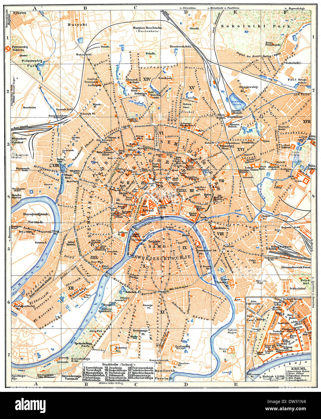 Historical map of Moscow, Russia, 1896 Stock Photohttps://www.alamy.com/image-license-details/?v=1https://www.alamy.com/historical-map-of-moscow-russia-1896-image67064736.html
RMDW31N4–Historical map of Moscow, Russia, 1896
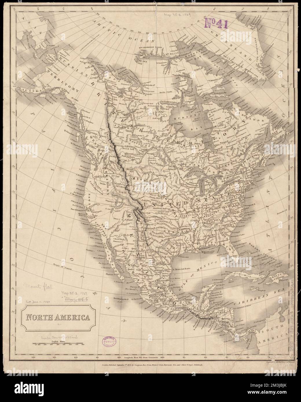 North America , Indians of North America, Maps, North America, Maps, Great Britain, Territories and possessions, Maps, Russia, Territories and possessions, Maps, United States, Territories and possessions, Maps Norman B. Leventhal Map Center Collection Stock Photohttps://www.alamy.com/image-license-details/?v=1https://www.alamy.com/north-america-indians-of-north-america-maps-north-america-maps-great-britain-territories-and-possessions-maps-russia-territories-and-possessions-maps-united-states-territories-and-possessions-maps-norman-b-leventhal-map-center-collection-image501348923.html
RM2M3JBJK–North America , Indians of North America, Maps, North America, Maps, Great Britain, Territories and possessions, Maps, Russia, Territories and possessions, Maps, United States, Territories and possessions, Maps Norman B. Leventhal Map Center Collection
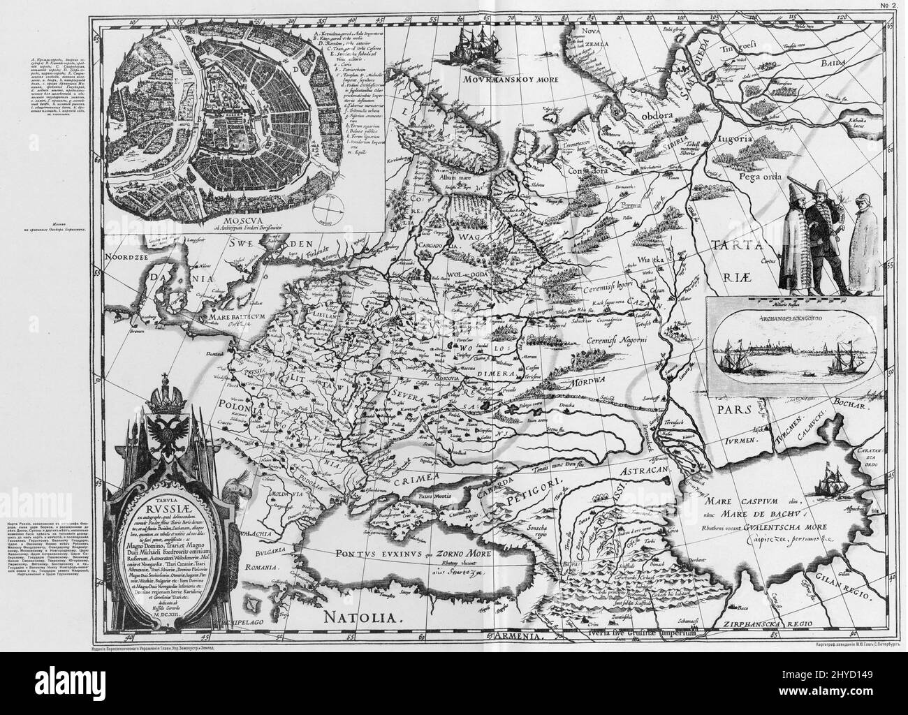 Antique 1613 map of Russia by Dutch cartographer Hessel Gerritsz, Latin language Stock Photohttps://www.alamy.com/image-license-details/?v=1https://www.alamy.com/antique-1613-map-of-russia-by-dutch-cartographer-hessel-gerritsz-latin-language-image464351561.html
RM2HYD149–Antique 1613 map of Russia by Dutch cartographer Hessel Gerritsz, Latin language
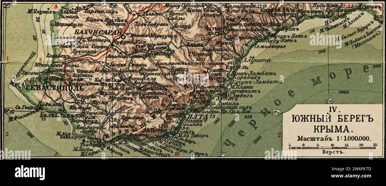 Vintage geographical (physical) map of South coast of Crimea. Russia, 1908 Stock Photohttps://www.alamy.com/image-license-details/?v=1https://www.alamy.com/vintage-geographical-physical-map-of-south-coast-of-crimea-russia-1908-image589185309.html
RM2W6FKTD–Vintage geographical (physical) map of South coast of Crimea. Russia, 1908
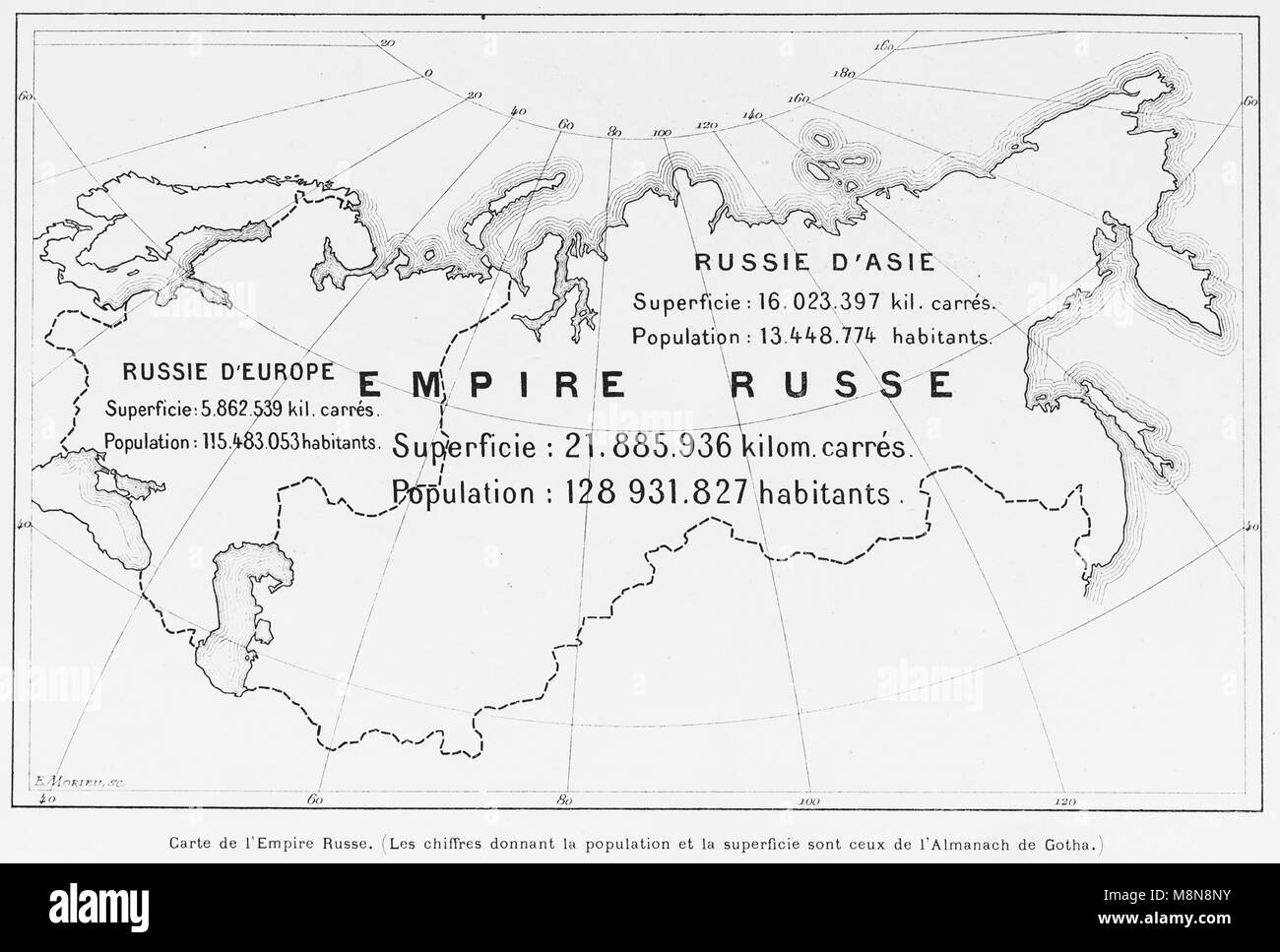 Map of the Russian Empire in 1900, Picture from the French weekly newspaper l'Illustration, 27th October 1900 Stock Photohttps://www.alamy.com/image-license-details/?v=1https://www.alamy.com/stock-photo-map-of-the-russian-empire-in-1900-picture-from-the-french-weekly-newspaper-177488807.html
RFM8N8NY–Map of the Russian Empire in 1900, Picture from the French weekly newspaper l'Illustration, 27th October 1900
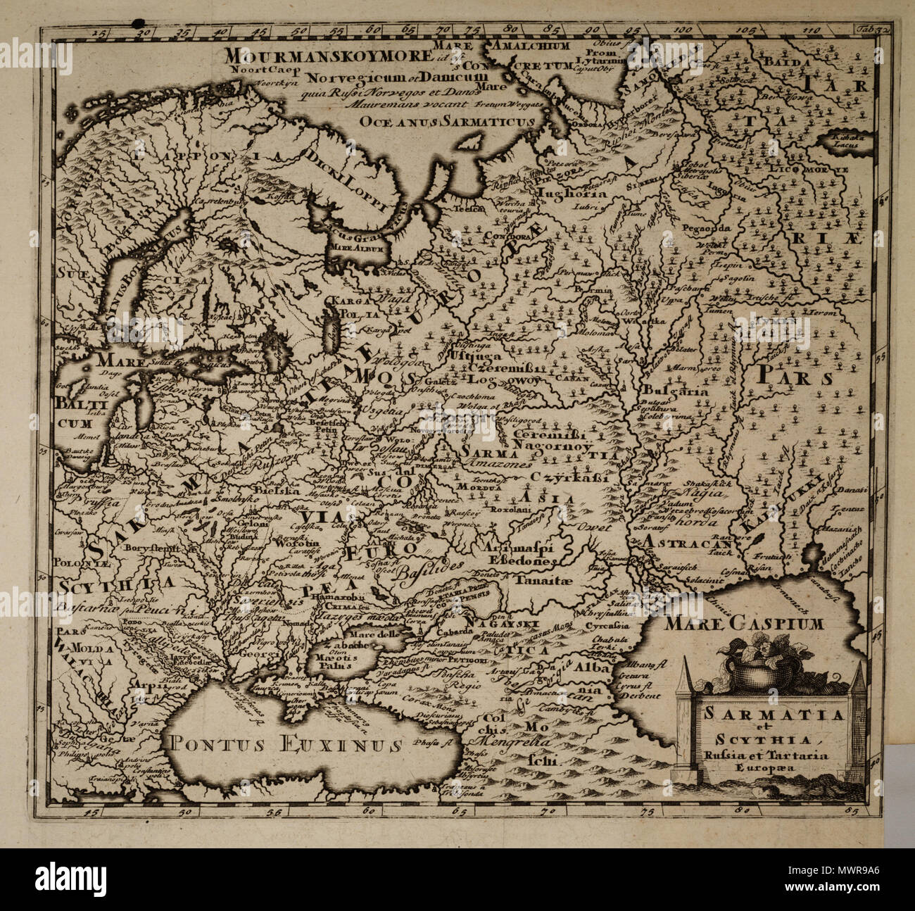 . English: Sarmatia et Scythia, Russia et Tartarta Europaea . 12 May 2013, 19:57:00. Anonymous map XVII century 544 Sarmatia et Scythia, Russia et Tartaria Europaea Stock Photohttps://www.alamy.com/image-license-details/?v=1https://www.alamy.com/english-sarmatia-et-scythia-russia-et-tartarta-europaea-12-may-2013-195700-anonymous-map-xvii-century-544-sarmatia-et-scythia-russia-et-tartaria-europaea-image187982318.html
RMMWR9A6–. English: Sarmatia et Scythia, Russia et Tartarta Europaea . 12 May 2013, 19:57:00. Anonymous map XVII century 544 Sarmatia et Scythia, Russia et Tartaria Europaea
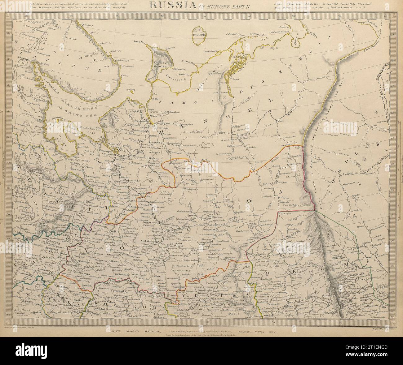 RUSSIA Arkhangelsk Vologda VIatka Olontez Perm Iaroslavl SDUK 1844 old map Stock Photohttps://www.alamy.com/image-license-details/?v=1https://www.alamy.com/russia-arkhangelsk-vologda-viatka-olontez-perm-iaroslavl-sduk-1844-old-map-image568881053.html
RF2T1ENGD–RUSSIA Arkhangelsk Vologda VIatka Olontez Perm Iaroslavl SDUK 1844 old map
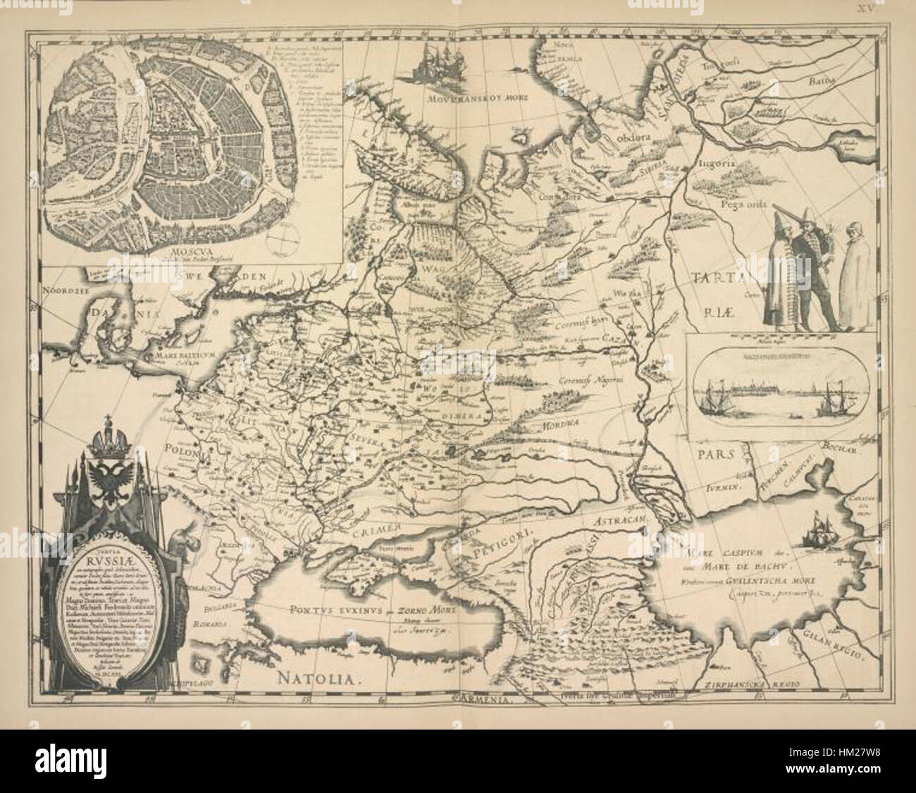 The 1613 map of Russia by G. Gerrits provides a historical perspective on the geography and political boundaries of the region during that time. With detailed depictions, this map serves as an important artifact of Russian history, showcasing early cartography techniques and the evolving landscape of the country. Stock Photohttps://www.alamy.com/image-license-details/?v=1https://www.alamy.com/stock-photo-the-1613-map-of-russia-by-g-gerrits-provides-a-historical-perspective-132815796.html
RMHM27W8–The 1613 map of Russia by G. Gerrits provides a historical perspective on the geography and political boundaries of the region during that time. With detailed depictions, this map serves as an important artifact of Russian history, showcasing early cartography techniques and the evolving landscape of the country.
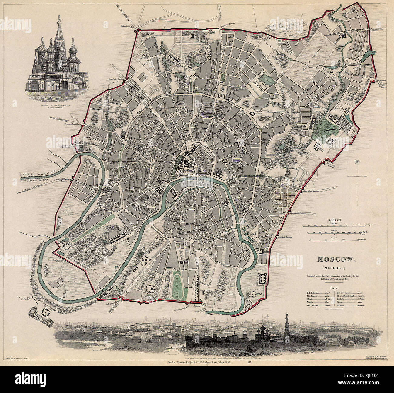 Map of Moscow. Stock Photohttps://www.alamy.com/image-license-details/?v=1https://www.alamy.com/map-of-moscow-image235106708.html
RMRJE104–Map of Moscow.
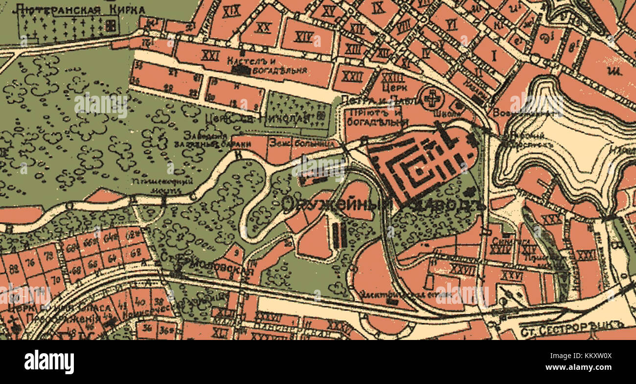 A historical map of the old railroad station in Sestrorezk, Russia. The station was an important part of the transportation system in the area, serving as a key node for regional travel in the 19th and 20th centuries. Stock Photohttps://www.alamy.com/image-license-details/?v=1https://www.alamy.com/stock-image-a-historical-map-of-the-old-railroad-station-in-sestrorezk-russia-167162154.html
RMKKXW0X–A historical map of the old railroad station in Sestrorezk, Russia. The station was an important part of the transportation system in the area, serving as a key node for regional travel in the 19th and 20th centuries.
 Vintage copper engraved map of Russia from 19th century. All maps are beautifully colored and illustrated showing the world at the time. Stock Photohttps://www.alamy.com/image-license-details/?v=1https://www.alamy.com/vintage-copper-engraved-map-of-russia-from-19th-century-all-maps-are-beautifully-colored-and-illustrated-showing-the-world-at-the-time-image425457033.html
RF2FM56P1–Vintage copper engraved map of Russia from 19th century. All maps are beautifully colored and illustrated showing the world at the time.
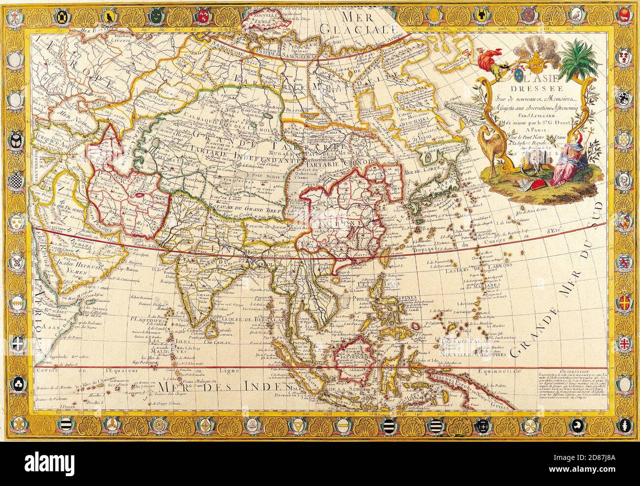 Antique Maps of the World. Map of Asia Guillaume Danet c 1732 Stock Photohttps://www.alamy.com/image-license-details/?v=1https://www.alamy.com/antique-maps-of-the-world-map-of-asia-guillaume-danet-c-1732-image383713354.html
RM2D87J8A–Antique Maps of the World. Map of Asia Guillaume Danet c 1732
 Myza Ivanovka oldmap Stock Photohttps://www.alamy.com/image-license-details/?v=1https://www.alamy.com/stock-photo-myza-ivanovka-oldmap-140282108.html
RMJ46B78–Myza Ivanovka oldmap
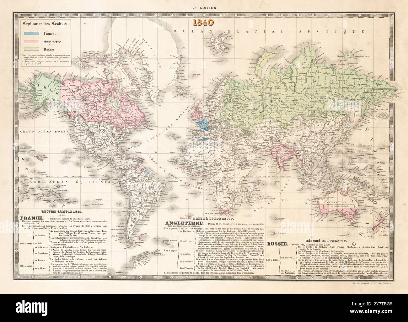 Vintage 1840 Map of World showing the colonial territories of France, England and Russia Empires . French language. Stock Photohttps://www.alamy.com/image-license-details/?v=1https://www.alamy.com/vintage-1840-map-of-world-showing-the-colonial-territories-of-france-england-and-russia-empires-french-language-image624411768.html
RM2Y7TBG8–Vintage 1840 Map of World showing the colonial territories of France, England and Russia Empires . French language.
 Vid Staroj Ladogi (Zabolotskiy) Stock Photohttps://www.alamy.com/image-license-details/?v=1https://www.alamy.com/vid-staroj-ladogi-zabolotskiy-image152829989.html
RMJTJ05W–Vid Staroj Ladogi (Zabolotskiy)
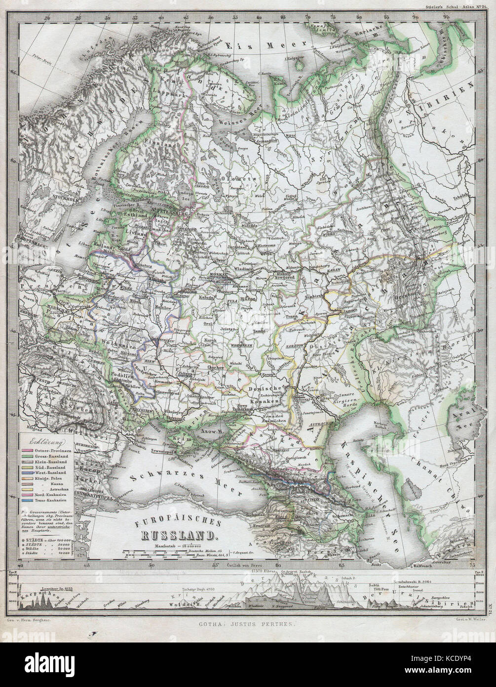 1862, Perthes Map of Russia Stock Photohttps://www.alamy.com/image-license-details/?v=1https://www.alamy.com/stock-image-1862-perthes-map-of-russia-162576348.html
RMKCDYP4–1862, Perthes Map of Russia
!['[Appleton's European Guide Book illustrated. Including England, Scotland, and Ireland, France, Belgium, Holland, Northern and Southern Germany, Switzerland, Italy, Spain and Portugal, Russia, Denmark, Norway, and Sweden. Containing ... maps, etc.]' Stock Photo '[Appleton's European Guide Book illustrated. Including England, Scotland, and Ireland, France, Belgium, Holland, Northern and Southern Germany, Switzerland, Italy, Spain and Portugal, Russia, Denmark, Norway, and Sweden. Containing ... maps, etc.]' Stock Photo](https://c8.alamy.com/comp/P6YB53/appletons-european-guide-book-illustrated-including-england-scotland-and-ireland-france-belgium-holland-northern-and-southern-germany-switzerland-italy-spain-and-portugal-russia-denmark-norway-and-sweden-containing-maps-etc-P6YB53.jpg) '[Appleton's European Guide Book illustrated. Including England, Scotland, and Ireland, France, Belgium, Holland, Northern and Southern Germany, Switzerland, Italy, Spain and Portugal, Russia, Denmark, Norway, and Sweden. Containing ... maps, etc.]' Stock Photohttps://www.alamy.com/image-license-details/?v=1https://www.alamy.com/appletons-european-guide-book-illustrated-including-england-scotland-and-ireland-france-belgium-holland-northern-and-southern-germany-switzerland-italy-spain-and-portugal-russia-denmark-norway-and-sweden-containing-maps-etc-image210813823.html
'[Appleton's European Guide Book illustrated. Including England, Scotland, and Ireland, France, Belgium, Holland, Northern and Southern Germany, Switzerland, Italy, Spain and Portugal, Russia, Denmark, Norway, and Sweden. Containing ... maps, etc.]' Stock Photohttps://www.alamy.com/image-license-details/?v=1https://www.alamy.com/appletons-european-guide-book-illustrated-including-england-scotland-and-ireland-france-belgium-holland-northern-and-southern-germany-switzerland-italy-spain-and-portugal-russia-denmark-norway-and-sweden-containing-maps-etc-image210813823.htmlRMP6YB53–'[Appleton's European Guide Book illustrated. Including England, Scotland, and Ireland, France, Belgium, Holland, Northern and Southern Germany, Switzerland, Italy, Spain and Portugal, Russia, Denmark, Norway, and Sweden. Containing ... maps, etc.]'
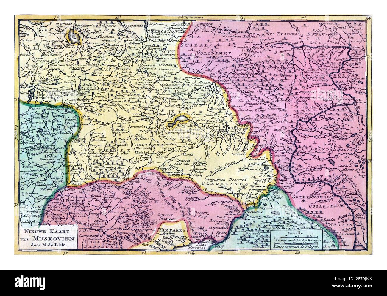 Map of Russia, vintage engraving. Stock Photohttps://www.alamy.com/image-license-details/?v=1https://www.alamy.com/map-of-russia-vintage-engraving-image417563711.html
RF2F79JNK–Map of Russia, vintage engraving.
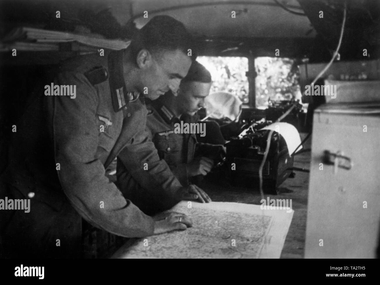 New results of the reconnaissance are compared with old maps. Photo: war reporter Utecht. Stock Photohttps://www.alamy.com/image-license-details/?v=1https://www.alamy.com/new-results-of-the-reconnaissance-are-compared-with-old-maps-photo-war-reporter-utecht-image247154913.html
RMTA2TH5–New results of the reconnaissance are compared with old maps. Photo: war reporter Utecht.
 Old Torn Atlas Map of Eurasia Stock Photohttps://www.alamy.com/image-license-details/?v=1https://www.alamy.com/stock-photo-old-torn-atlas-map-of-eurasia-104890691.html
RMG2J543–Old Torn Atlas Map of Eurasia
![Tabula Russia vulgo Moscovia. J. Lhuilier, fecit. Imprint: t'Amsterdam : Gedruckt by Fredrick de Wit inde Kaluer straet inde witte Paskaert, [1688?]. Relief shown pictorially. Cataloging, conservation, and digitization made possible in part by The National Endowment for the Humanities: Exploring the human endeavor. Part of composite portfolio atlas with title 'Collection of old maps.'.. Collection of old maps. Collection of old maps, Russia Stock Photo Tabula Russia vulgo Moscovia. J. Lhuilier, fecit. Imprint: t'Amsterdam : Gedruckt by Fredrick de Wit inde Kaluer straet inde witte Paskaert, [1688?]. Relief shown pictorially. Cataloging, conservation, and digitization made possible in part by The National Endowment for the Humanities: Exploring the human endeavor. Part of composite portfolio atlas with title 'Collection of old maps.'.. Collection of old maps. Collection of old maps, Russia Stock Photo](https://c8.alamy.com/comp/2M5W0G1/tabula-russia-vulgo-moscovia-j-lhuilier-fecit-imprint-tamsterdam-gedruckt-by-fredrick-de-wit-inde-kaluer-straet-inde-witte-paskaert-1688-relief-shown-pictorially-cataloging-conservation-and-digitization-made-possible-in-part-by-the-national-endowment-for-the-humanities-exploring-the-human-endeavor-part-of-composite-portfolio-atlas-with-title-collection-of-old-maps-collection-of-old-maps-collection-of-old-maps-russia-2M5W0G1.jpg) Tabula Russia vulgo Moscovia. J. Lhuilier, fecit. Imprint: t'Amsterdam : Gedruckt by Fredrick de Wit inde Kaluer straet inde witte Paskaert, [1688?]. Relief shown pictorially. Cataloging, conservation, and digitization made possible in part by The National Endowment for the Humanities: Exploring the human endeavor. Part of composite portfolio atlas with title 'Collection of old maps.'.. Collection of old maps. Collection of old maps, Russia Stock Photohttps://www.alamy.com/image-license-details/?v=1https://www.alamy.com/tabula-russia-vulgo-moscovia-j-lhuilier-fecit-imprint-tamsterdam-gedruckt-by-fredrick-de-wit-inde-kaluer-straet-inde-witte-paskaert-1688-relief-shown-pictorially-cataloging-conservation-and-digitization-made-possible-in-part-by-the-national-endowment-for-the-humanities-exploring-the-human-endeavor-part-of-composite-portfolio-atlas-with-title-collection-of-old-maps-collection-of-old-maps-collection-of-old-maps-russia-image502723201.html
Tabula Russia vulgo Moscovia. J. Lhuilier, fecit. Imprint: t'Amsterdam : Gedruckt by Fredrick de Wit inde Kaluer straet inde witte Paskaert, [1688?]. Relief shown pictorially. Cataloging, conservation, and digitization made possible in part by The National Endowment for the Humanities: Exploring the human endeavor. Part of composite portfolio atlas with title 'Collection of old maps.'.. Collection of old maps. Collection of old maps, Russia Stock Photohttps://www.alamy.com/image-license-details/?v=1https://www.alamy.com/tabula-russia-vulgo-moscovia-j-lhuilier-fecit-imprint-tamsterdam-gedruckt-by-fredrick-de-wit-inde-kaluer-straet-inde-witte-paskaert-1688-relief-shown-pictorially-cataloging-conservation-and-digitization-made-possible-in-part-by-the-national-endowment-for-the-humanities-exploring-the-human-endeavor-part-of-composite-portfolio-atlas-with-title-collection-of-old-maps-collection-of-old-maps-collection-of-old-maps-russia-image502723201.htmlRM2M5W0G1–Tabula Russia vulgo Moscovia. J. Lhuilier, fecit. Imprint: t'Amsterdam : Gedruckt by Fredrick de Wit inde Kaluer straet inde witte Paskaert, [1688?]. Relief shown pictorially. Cataloging, conservation, and digitization made possible in part by The National Endowment for the Humanities: Exploring the human endeavor. Part of composite portfolio atlas with title 'Collection of old maps.'.. Collection of old maps. Collection of old maps, Russia
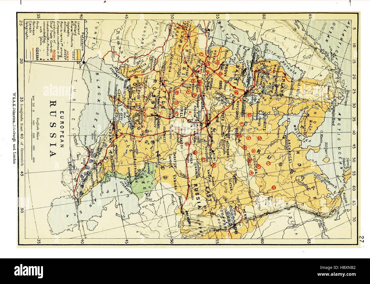 Atlas of commercial geography, containing 48 maps, with explanatory letterpress Stock Photohttps://www.alamy.com/image-license-details/?v=1https://www.alamy.com/stock-photo-atlas-of-commercial-geography-containing-48-maps-with-explanatory-127821318.html
RMHBXNB2–Atlas of commercial geography, containing 48 maps, with explanatory letterpress
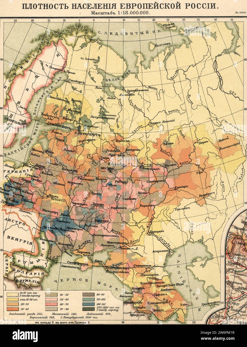 Vintage map Density of population European Russia, 1908 Stock Photohttps://www.alamy.com/image-license-details/?v=1https://www.alamy.com/vintage-map-density-of-population-european-russia-1908-image589185459.html
RM2W6FM1R–Vintage map Density of population European Russia, 1908
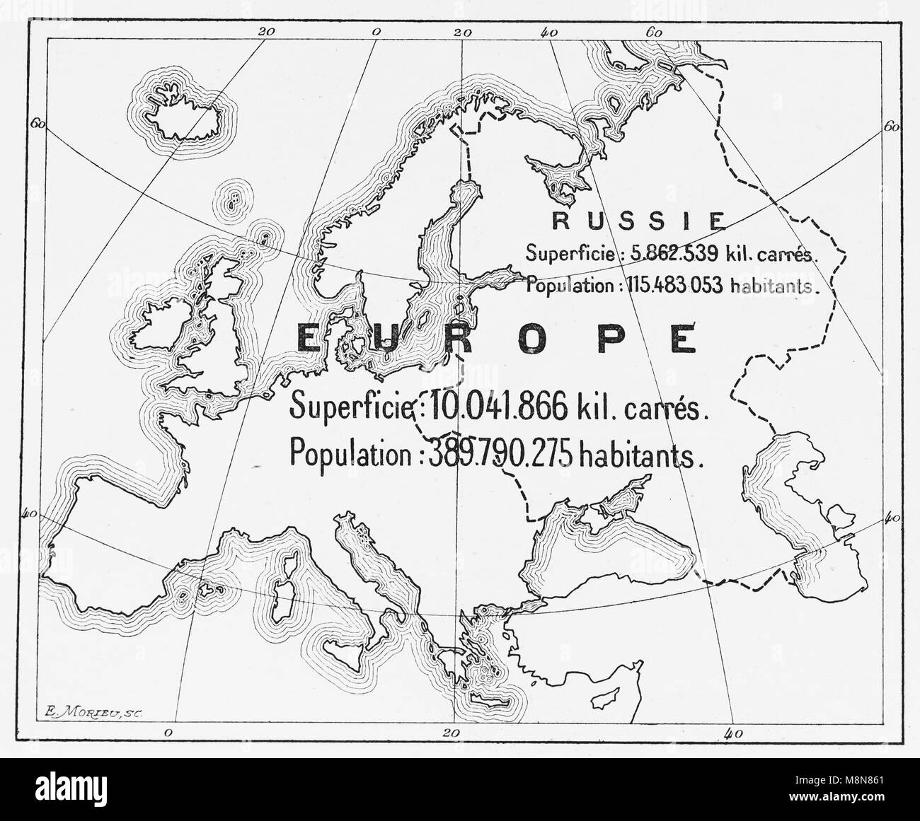 Map of Europe and European part of Russia in 1900, Picture from the French weekly newspaper l'Illustration, 27th October 1900 Stock Photohttps://www.alamy.com/image-license-details/?v=1https://www.alamy.com/stock-photo-map-of-europe-and-european-part-of-russia-in-1900-picture-from-the-177488361.html
RFM8N861–Map of Europe and European part of Russia in 1900, Picture from the French weekly newspaper l'Illustration, 27th October 1900
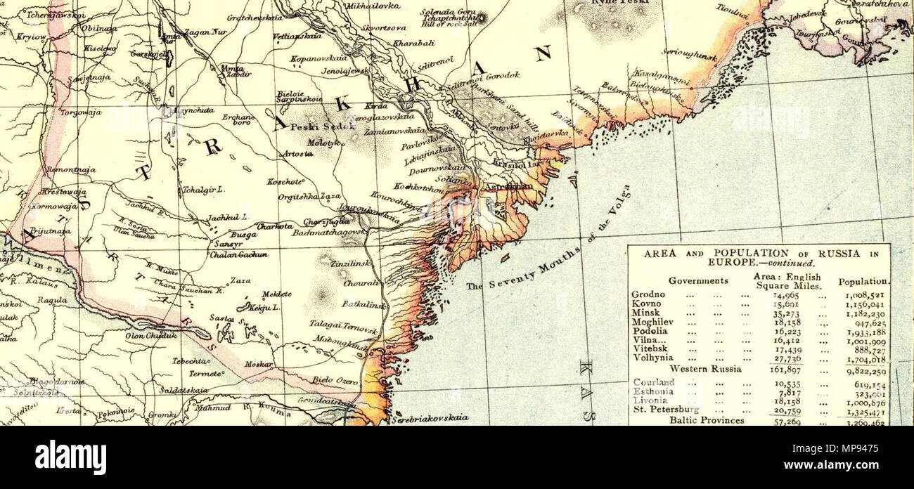 . English: Astrakhan Oblast Russia. No. 9. Letts's popular atlas. Letts, Son & Co. Limited, London. (1883) . 1883. Letts, Son & Co. (1803-1873) 807 Letts, Son & Co. Russia 9. 1883 (P) Stock Photohttps://www.alamy.com/image-license-details/?v=1https://www.alamy.com/english-astrakhan-oblast-russia-no-9-lettss-popular-atlas-letts-son-co-limited-london-1883-1883-letts-son-co-1803-1873-807-letts-son-amp-co-russia-9-1883-p-image185827017.html
RMMP9475–. English: Astrakhan Oblast Russia. No. 9. Letts's popular atlas. Letts, Son & Co. Limited, London. (1883) . 1883. Letts, Son & Co. (1803-1873) 807 Letts, Son & Co. Russia 9. 1883 (P)
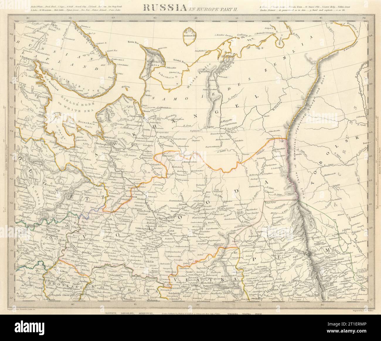 RUSSIA.Arkhangelsk Vologda VIatka Perm Olontez Iaroslavl.SDUK 1844 old map Stock Photohttps://www.alamy.com/image-license-details/?v=1https://www.alamy.com/russiaarkhangelsk-vologda-viatka-perm-olontez-iaroslavlsduk-1844-old-map-image568882742.html
RF2T1ERMP–RUSSIA.Arkhangelsk Vologda VIatka Perm Olontez Iaroslavl.SDUK 1844 old map
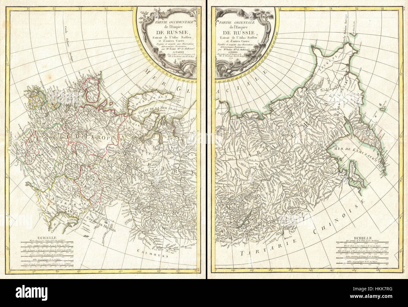 This 1771 Bonne map of Russia, consisting of two maps, provides a detailed geographical representation of the Russian Empire at the time. The maps highlight key regions and the empire's vast expanse, showcasing the cartographic methods used during the 18th century. Bonne's work is significant in the history of mapmaking, particularly for its accuracy and scale of Russia during this period. Stock Photohttps://www.alamy.com/image-license-details/?v=1https://www.alamy.com/stock-photo-this-1771-bonne-map-of-russia-consisting-of-two-maps-provides-a-detailed-132574276.html
RMHKK7RG–This 1771 Bonne map of Russia, consisting of two maps, provides a detailed geographical representation of the Russian Empire at the time. The maps highlight key regions and the empire's vast expanse, showcasing the cartographic methods used during the 18th century. Bonne's work is significant in the history of mapmaking, particularly for its accuracy and scale of Russia during this period.
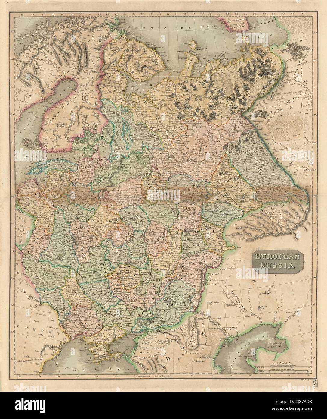 'European Russia' including Baltics Belarus Ukraine. THOMSON 1817 old map Stock Photohttps://www.alamy.com/image-license-details/?v=1https://www.alamy.com/european-russia-including-baltics-belarus-ukraine-thomson-1817-old-map-image469759078.html
RF2J87ADX–'European Russia' including Baltics Belarus Ukraine. THOMSON 1817 old map
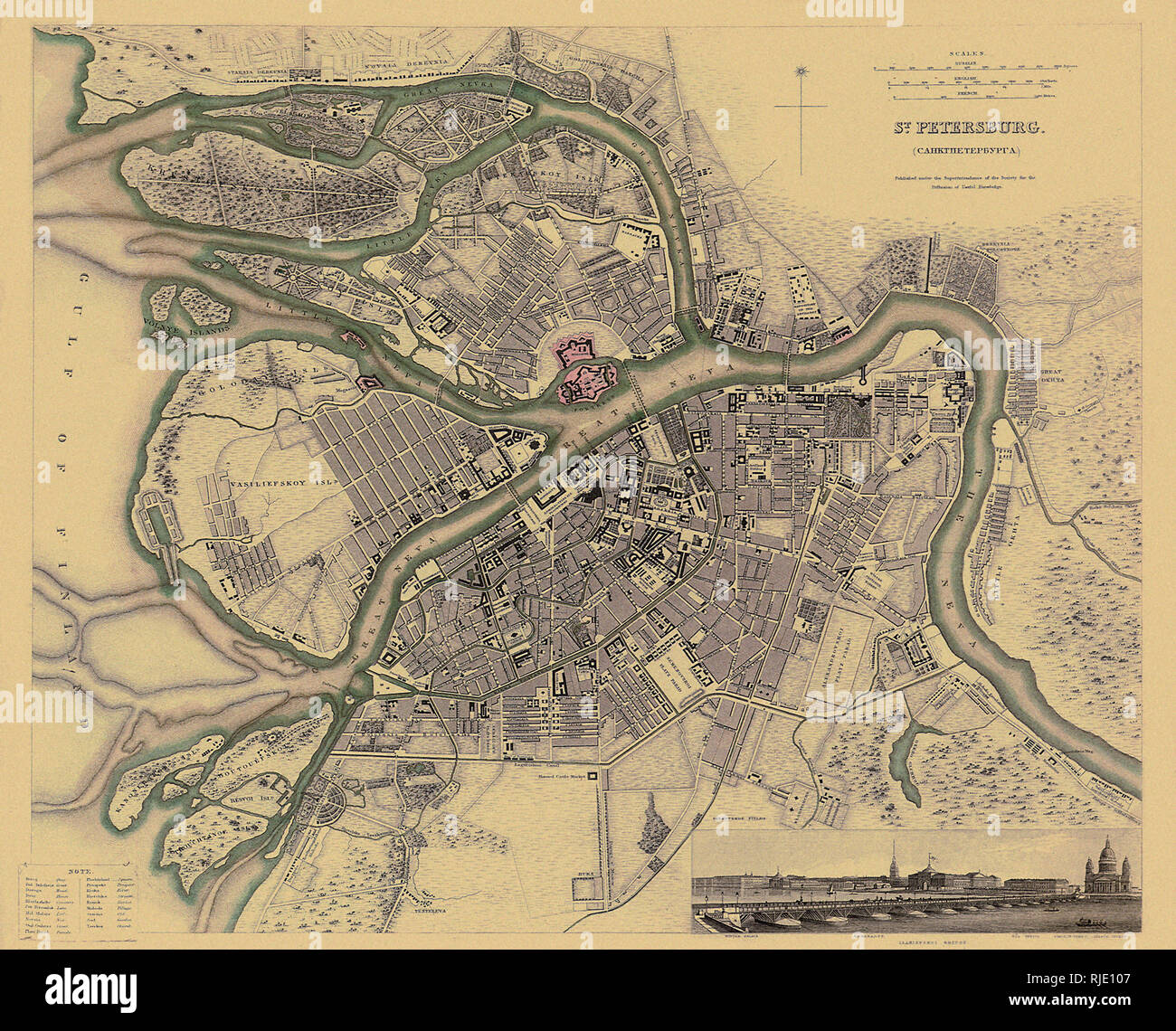 Map of Saint Petersburg. Stock Photohttps://www.alamy.com/image-license-details/?v=1https://www.alamy.com/map-of-saint-petersburg-image235106711.html
RMRJE107–Map of Saint Petersburg.
 Vintage copper engraved map of Russia from 19th century. All maps are beautifully colored and illustrated showing the world at the time. Stock Photohttps://www.alamy.com/image-license-details/?v=1https://www.alamy.com/vintage-copper-engraved-map-of-russia-from-19th-century-all-maps-are-beautifully-colored-and-illustrated-showing-the-world-at-the-time-image425536090.html
RF2FM8RHE–Vintage copper engraved map of Russia from 19th century. All maps are beautifully colored and illustrated showing the world at the time.
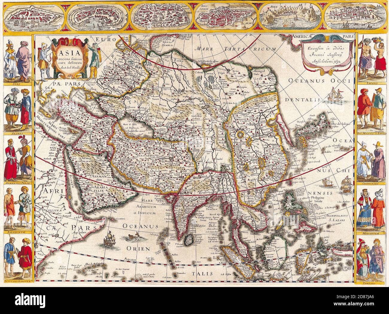 Antique Maps of the World. Map of Asia. Jan Jansson c 1632. Stock Photohttps://www.alamy.com/image-license-details/?v=1https://www.alamy.com/antique-maps-of-the-world-map-of-asia-jan-jansson-c-1632-image383713406.html
RM2D87JA6–Antique Maps of the World. Map of Asia. Jan Jansson c 1632.
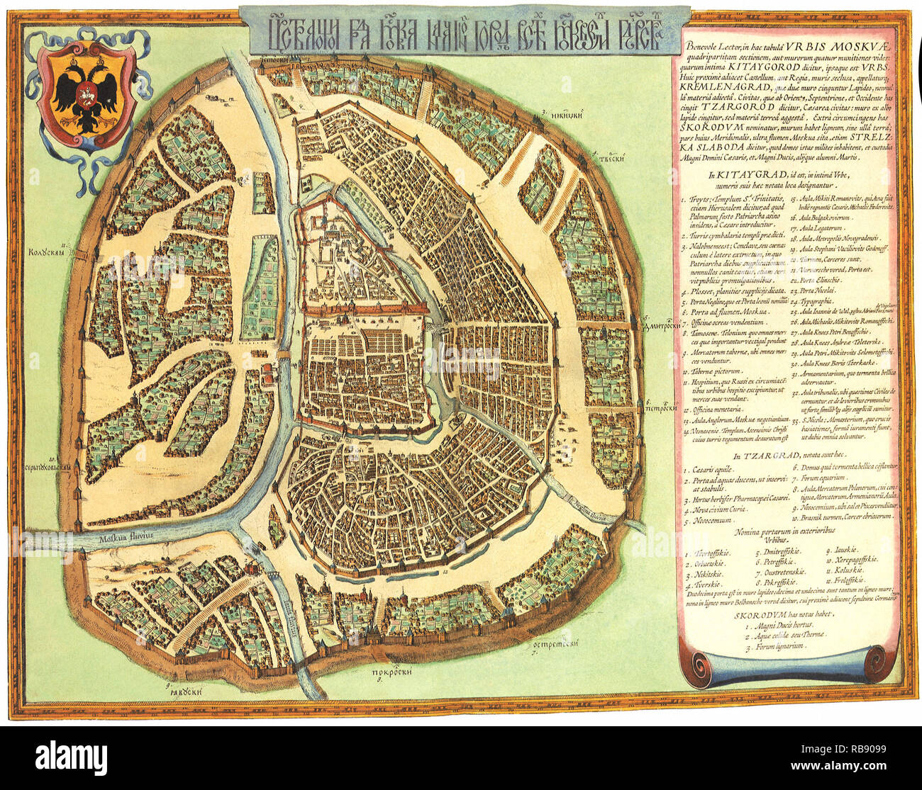 Plan of Moscow. 1662 Stock Photohttps://www.alamy.com/image-license-details/?v=1https://www.alamy.com/plan-of-moscow-1662-image230693829.html
RMRB9099–Plan of Moscow. 1662
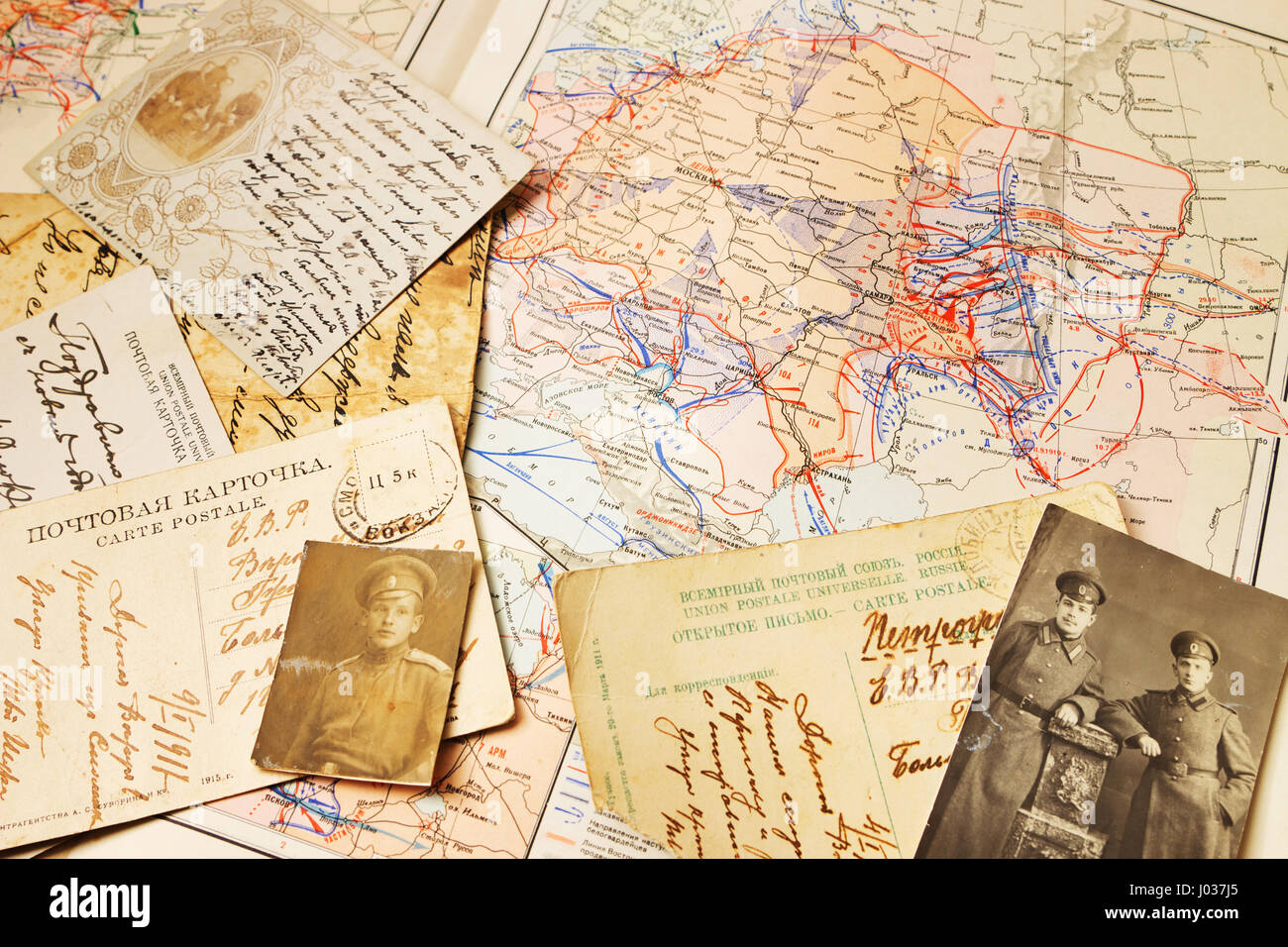 Postcards and the maps of battles of WW1 and Civil War in Russia 1918-1919, published in USSR,1947 Stock Photohttps://www.alamy.com/image-license-details/?v=1https://www.alamy.com/stock-photo-postcards-and-the-maps-of-battles-of-ww1-and-civil-war-in-russia-1918-137754797.html
RMJ037J5–Postcards and the maps of battles of WW1 and Civil War in Russia 1918-1919, published in USSR,1947
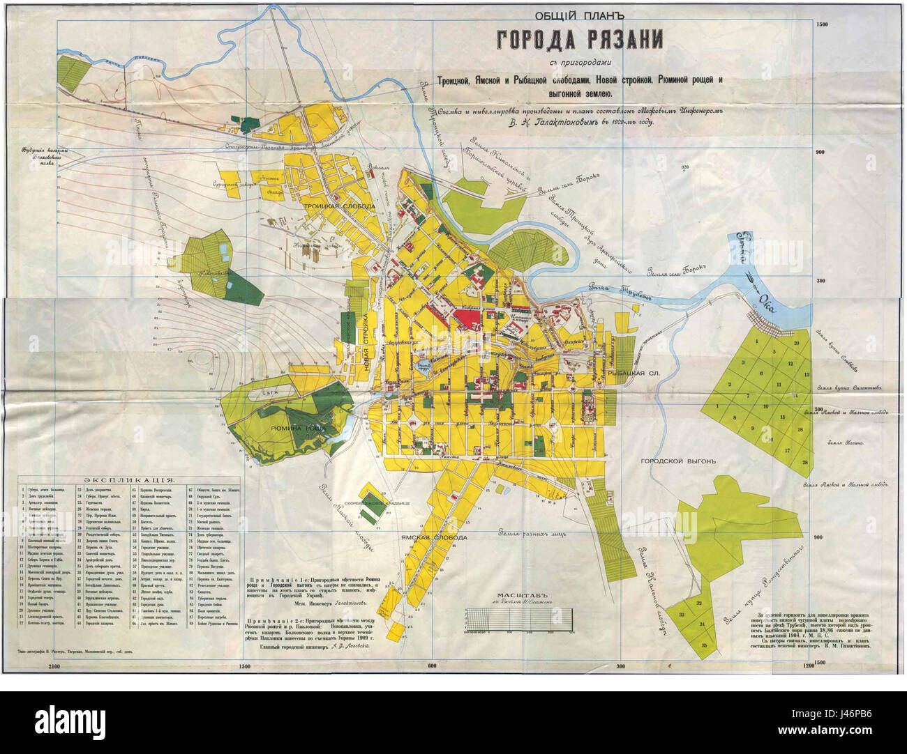 Old map of Ryazan Stock Photohttps://www.alamy.com/image-license-details/?v=1https://www.alamy.com/stock-photo-old-map-of-ryazan-140290842.html
RMJ46PB6–Old map of Ryazan
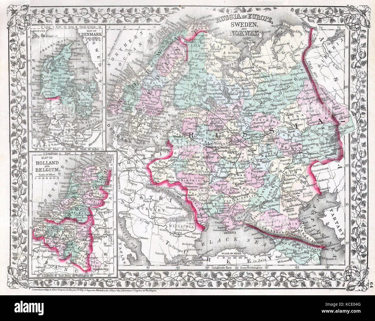 1874, Mitchell Map of Russia Stock Photohttps://www.alamy.com/image-license-details/?v=1https://www.alamy.com/stock-image-1874-mitchell-map-of-russia-162576640.html
RMKCE04G–1874, Mitchell Map of Russia
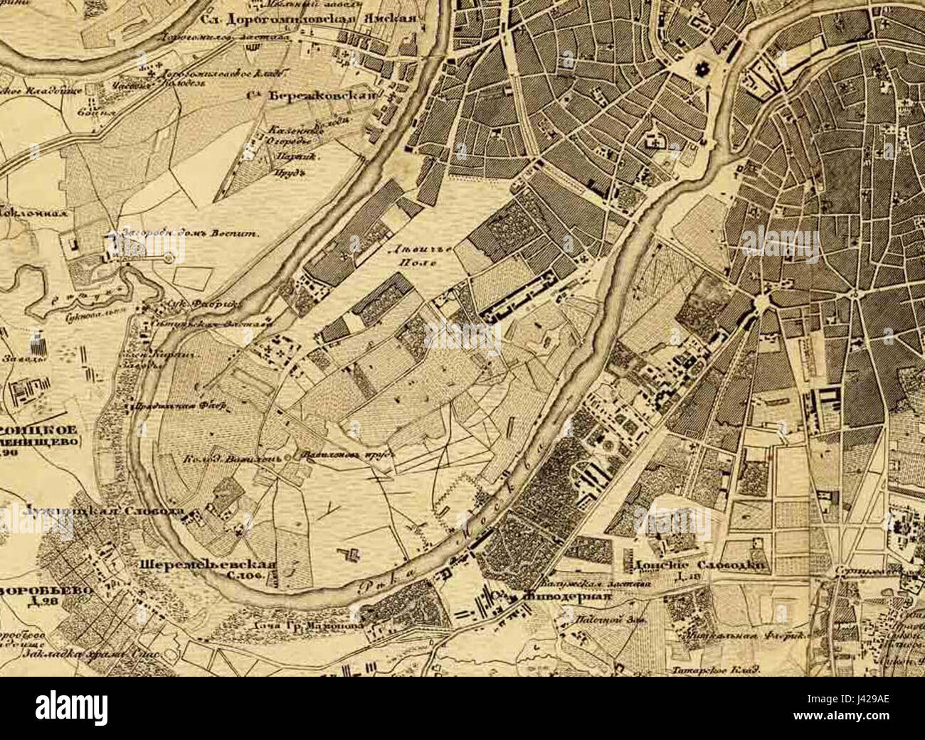 Map Russia, Moscow, Devichye Pole, Babylon 1880 Stock Photohttps://www.alamy.com/image-license-details/?v=1https://www.alamy.com/stock-photo-map-russia-moscow-devichye-pole-babylon-1880-140192822.html
RMJ429AE–Map Russia, Moscow, Devichye Pole, Babylon 1880
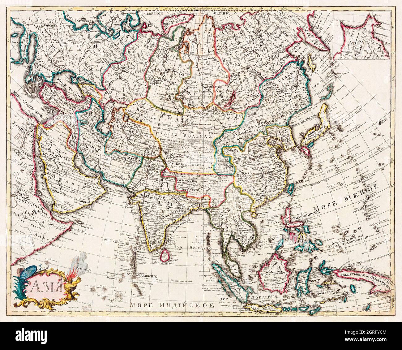 Map of Asia. Identical to the maps of Guillaume D'Isle (ca.1723). Stock Photohttps://www.alamy.com/image-license-details/?v=1https://www.alamy.com/map-of-asia-identical-to-the-maps-of-guillaume-disle-ca1723-image444900756.html
RM2GRPYCM–Map of Asia. Identical to the maps of Guillaume D'Isle (ca.1723).
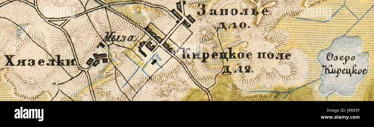 The Zapoljemap may refer to a historical map, geographical feature, or location in Russia or Eastern Europe, with the name suggesting a connection to regional geography or cartography. Stock Photohttps://www.alamy.com/image-license-details/?v=1https://www.alamy.com/stock-photo-the-zapoljemap-may-refer-to-a-historical-map-geographical-feature-140646619.html
RMJ4R05F–The Zapoljemap may refer to a historical map, geographical feature, or location in Russia or Eastern Europe, with the name suggesting a connection to regional geography or cartography.
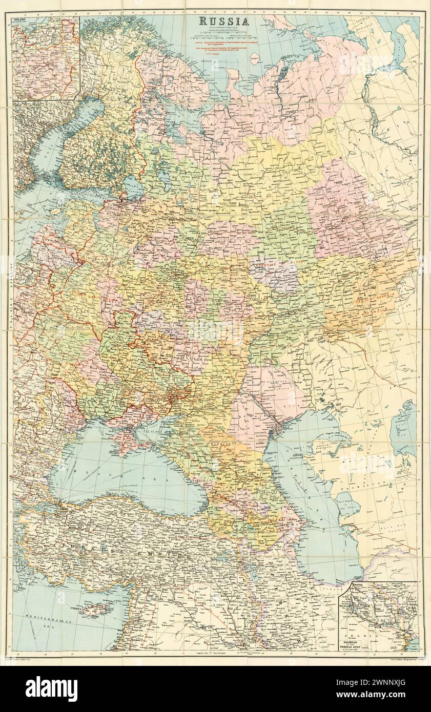 Vintage Illustrated Map . 1921 map of Russia. Showing the borders in Red following WWI as of Map. Creator George Philip & Son Contributors. London Geographical Institute Stock Photohttps://www.alamy.com/image-license-details/?v=1https://www.alamy.com/vintage-illustrated-map-1921-map-of-russia-showing-the-borders-in-red-following-wwi-as-of-map-creator-george-philip-son-contributors-london-geographical-institute-image598542184.html
RM2WNNXJG–Vintage Illustrated Map . 1921 map of Russia. Showing the borders in Red following WWI as of Map. Creator George Philip & Son Contributors. London Geographical Institute
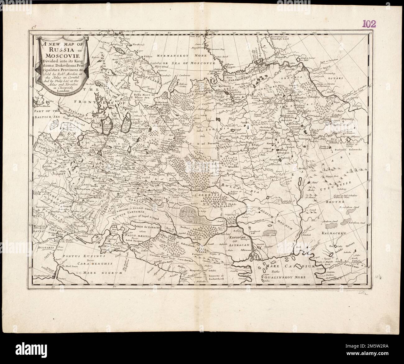 A new map of Russia or Moscovie divided into its Kingdoms, Dukedoms, Principalities, Provinces, &c. Relief shown pictorially. Cataloging, conservation, and digitization made possible in part by The National Endowment for the Humanities: Exploring the human endeavor. Part of composite portfolio atlas with title 'Collection of old maps.'.. Collection of old maps. Collection of old maps, Russia Stock Photohttps://www.alamy.com/image-license-details/?v=1https://www.alamy.com/a-new-map-of-russia-or-moscovie-divided-into-its-kingdoms-dukedoms-principalities-provinces-c-relief-shown-pictorially-cataloging-conservation-and-digitization-made-possible-in-part-by-the-national-endowment-for-the-humanities-exploring-the-human-endeavor-part-of-composite-portfolio-atlas-with-title-collection-of-old-maps-collection-of-old-maps-collection-of-old-maps-russia-image502724974.html
RM2M5W2RA–A new map of Russia or Moscovie divided into its Kingdoms, Dukedoms, Principalities, Provinces, &c. Relief shown pictorially. Cataloging, conservation, and digitization made possible in part by The National Endowment for the Humanities: Exploring the human endeavor. Part of composite portfolio atlas with title 'Collection of old maps.'.. Collection of old maps. Collection of old maps, Russia
![Vintage Pictorial map depicting Russia as a bear and Tsar Alexander II. Includes illustrations of a flag and coat of arm. In Lancaster and Harvey's Geographical fun. London : Hodder and Stoughton, [1868 or 1869]. Stock Photo Vintage Pictorial map depicting Russia as a bear and Tsar Alexander II. Includes illustrations of a flag and coat of arm. In Lancaster and Harvey's Geographical fun. London : Hodder and Stoughton, [1868 or 1869]. Stock Photo](https://c8.alamy.com/comp/2WPBM0N/vintage-pictorial-map-depicting-russia-as-a-bear-and-tsar-alexander-ii-includes-illustrations-of-a-flag-and-coat-of-arm-in-lancaster-and-harveys-geographical-fun-london-hodder-and-stoughton-1868-or-1869-2WPBM0N.jpg) Vintage Pictorial map depicting Russia as a bear and Tsar Alexander II. Includes illustrations of a flag and coat of arm. In Lancaster and Harvey's Geographical fun. London : Hodder and Stoughton, [1868 or 1869]. Stock Photohttps://www.alamy.com/image-license-details/?v=1https://www.alamy.com/vintage-pictorial-map-depicting-russia-as-a-bear-and-tsar-alexander-ii-includes-illustrations-of-a-flag-and-coat-of-arm-in-lancaster-and-harveys-geographical-fun-london-hodder-and-stoughton-1868-or-1869-image598932117.html
Vintage Pictorial map depicting Russia as a bear and Tsar Alexander II. Includes illustrations of a flag and coat of arm. In Lancaster and Harvey's Geographical fun. London : Hodder and Stoughton, [1868 or 1869]. Stock Photohttps://www.alamy.com/image-license-details/?v=1https://www.alamy.com/vintage-pictorial-map-depicting-russia-as-a-bear-and-tsar-alexander-ii-includes-illustrations-of-a-flag-and-coat-of-arm-in-lancaster-and-harveys-geographical-fun-london-hodder-and-stoughton-1868-or-1869-image598932117.htmlRM2WPBM0N–Vintage Pictorial map depicting Russia as a bear and Tsar Alexander II. Includes illustrations of a flag and coat of arm. In Lancaster and Harvey's Geographical fun. London : Hodder and Stoughton, [1868 or 1869].
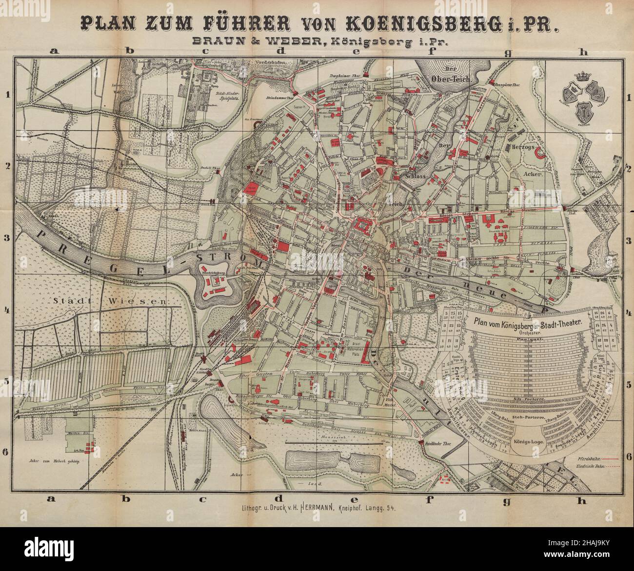 Navigating Königsberg: A Historical Guide Map,Königsberg Map, Königsberg Plan, Königsberg Poster, Königsberg Art, Kaliningrad Map, Russia Map, Russia Stock Photohttps://www.alamy.com/image-license-details/?v=1https://www.alamy.com/navigating-knigsberg-a-historical-guide-mapknigsberg-map-knigsberg-plan-knigsberg-poster-knigsberg-art-kaliningrad-map-russia-map-russia-image454018879.html
RF2HAJ9KY–Navigating Königsberg: A Historical Guide Map,Königsberg Map, Königsberg Plan, Königsberg Poster, Königsberg Art, Kaliningrad Map, Russia Map, Russia
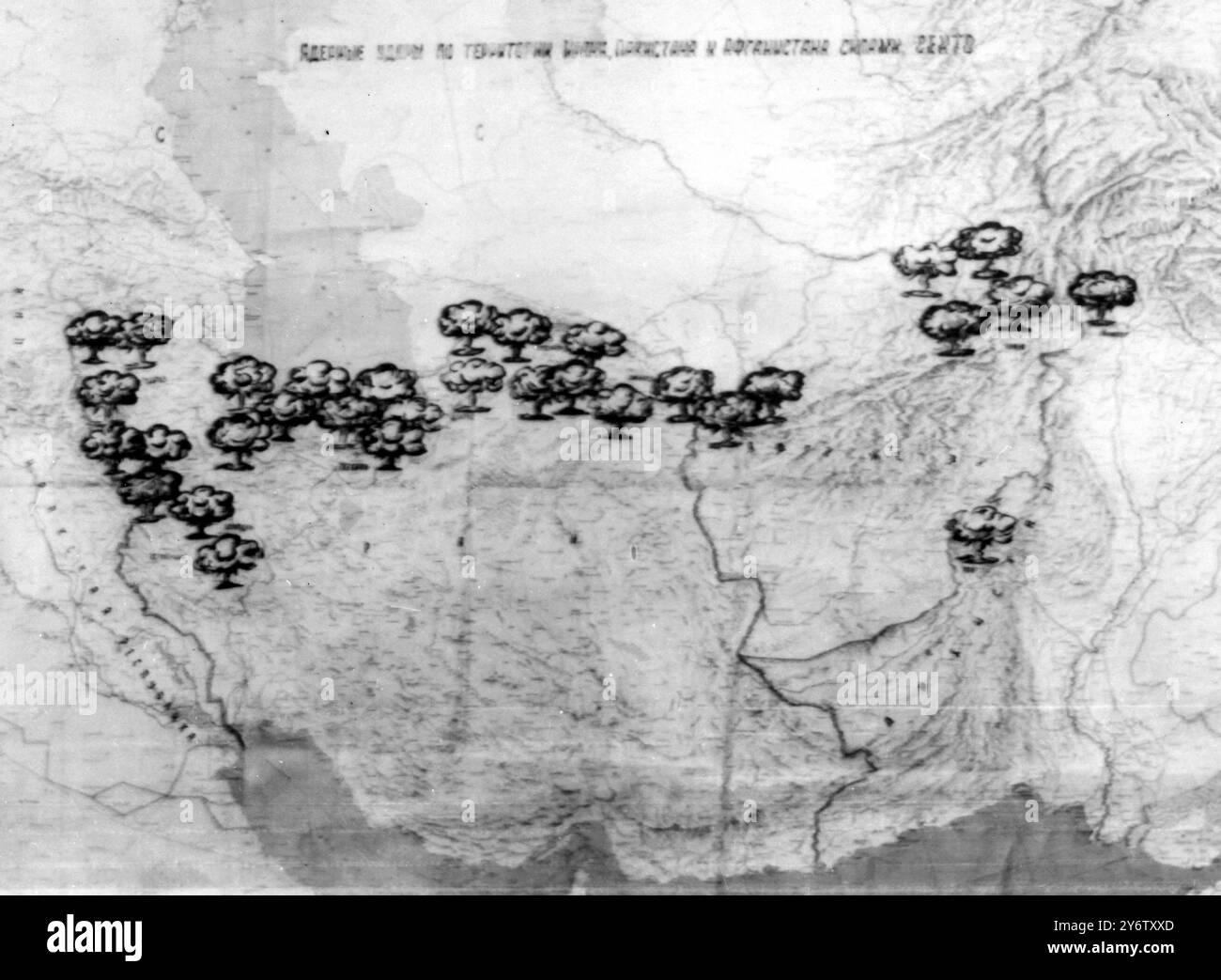 MAPS WHERE RUSSIA WOULD STRIKE IN NUCLEAR WAR 19 AUGUST 1961 Stock Photohttps://www.alamy.com/image-license-details/?v=1https://www.alamy.com/maps-where-russia-would-strike-in-nuclear-war-19-august-1961-image623809157.html
RM2Y6TXXD–MAPS WHERE RUSSIA WOULD STRIKE IN NUCLEAR WAR 19 AUGUST 1961
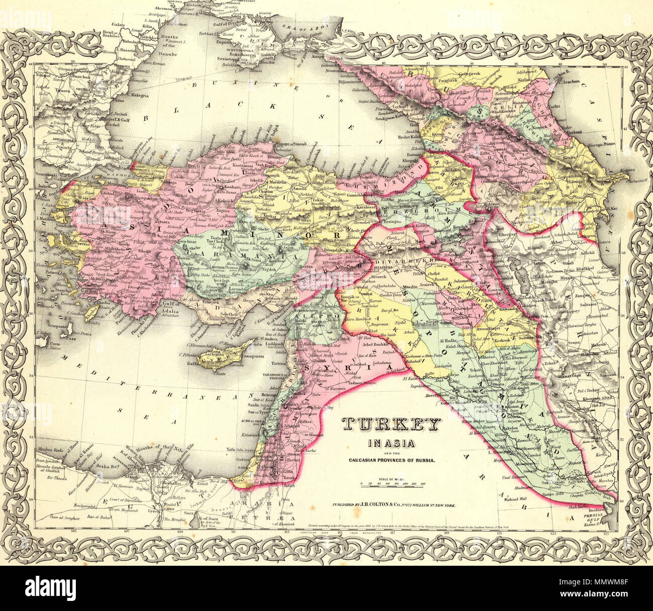 . English: Turkey In Asia And The Caucasian Provinces Of Russia. Published By J.H. Colton & Co. No. 172 William St. New York. Entered ... 1855 by J.H. Colton & Co. ... New York. No. 25 . 1856. George Woolworth Colton (1827–1901) Description American cartographer Date of birth/death 1827 1901 Authority control : Q41103846 Colton, G.W. Turkey In Asia And The Caucasian Provinces Of Russia. 1856 (A) Stock Photohttps://www.alamy.com/image-license-details/?v=1https://www.alamy.com/english-turkey-in-asia-and-the-caucasian-provinces-of-russia-published-by-jh-colton-co-no-172-william-st-new-york-entered-1855-by-jh-colton-co-new-york-no-25-1856-george-woolworth-colton-18271901-description-american-cartographer-date-of-birthdeath-1827-1901-authority-control-q41103846-colton-gw-turkey-in-asia-and-the-caucasian-provinces-of-russia-1856-a-image184961519.html
RMMMWM8F–. English: Turkey In Asia And The Caucasian Provinces Of Russia. Published By J.H. Colton & Co. No. 172 William St. New York. Entered ... 1855 by J.H. Colton & Co. ... New York. No. 25 . 1856. George Woolworth Colton (1827–1901) Description American cartographer Date of birth/death 1827 1901 Authority control : Q41103846 Colton, G.W. Turkey In Asia And The Caucasian Provinces Of Russia. 1856 (A)
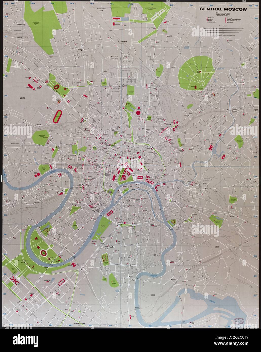 Moscow City, Moscow Plan, Moscow Map, Moscow Poster, Moscow Art, Москва, Карта Москвы, План Москвы, Moscow Wall Art, Russia Map, Map of Russia, Russia Stock Photohttps://www.alamy.com/image-license-details/?v=1https://www.alamy.com/moscow-city-moscow-plan-moscow-map-moscow-poster-moscow-art-moscow-wall-art-russia-map-map-of-russia-russia-image431762043.html
RF2G2CCTY–Moscow City, Moscow Plan, Moscow Map, Moscow Poster, Moscow Art, Москва, Карта Москвы, План Москвы, Moscow Wall Art, Russia Map, Map of Russia, Russia
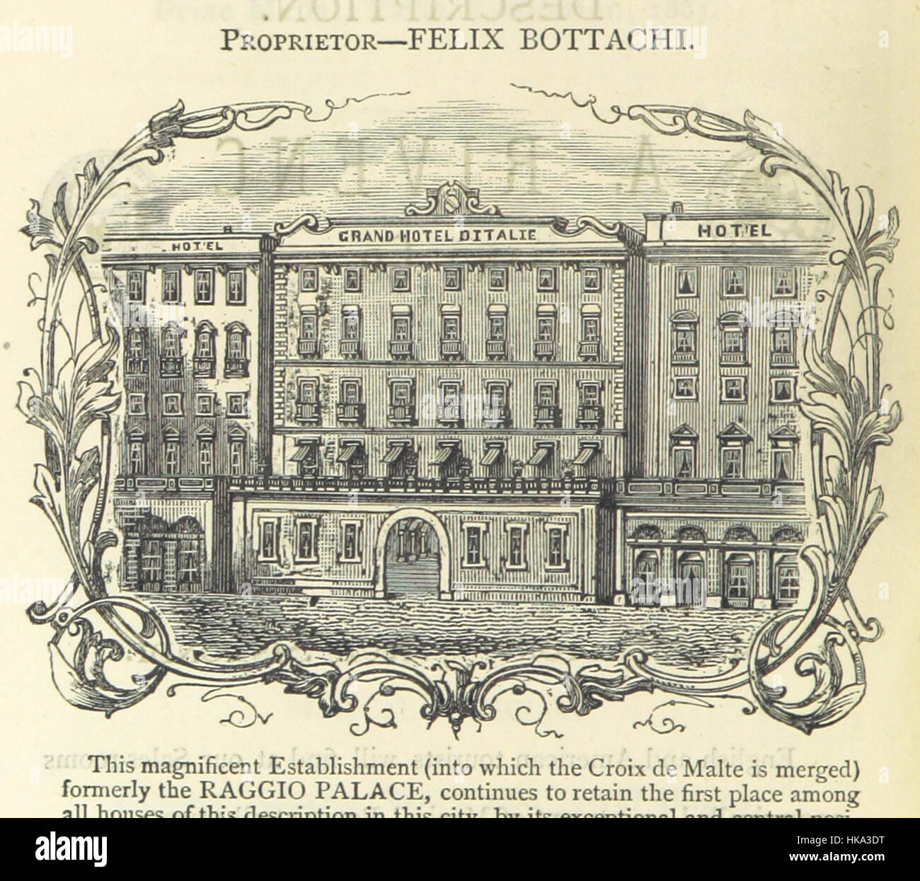 This 19th-century guidebook offers detailed maps and sketches of Europe, covering countries from England to Russia. Its ornate design and calligraphy reflect the antique nature of the publication. Stock Photohttps://www.alamy.com/image-license-details/?v=1https://www.alamy.com/stock-photo-this-19th-century-guidebook-offers-detailed-maps-and-sketches-of-europe-132373300.html
RMHKA3DT–This 19th-century guidebook offers detailed maps and sketches of Europe, covering countries from England to Russia. Its ornate design and calligraphy reflect the antique nature of the publication.
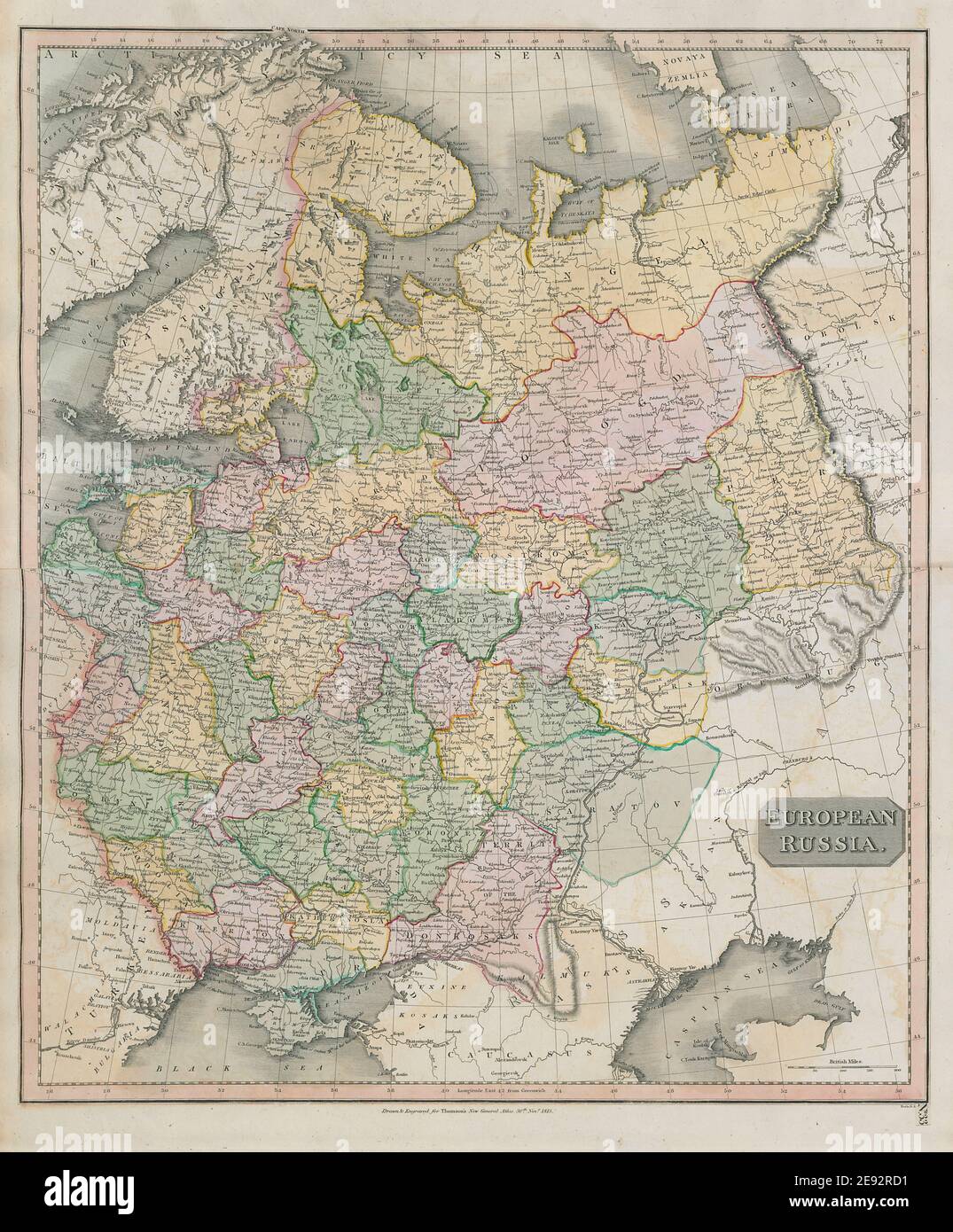 'European Russia' including Baltics Ukraine Belarus. THOMSON 1817 old map Stock Photohttps://www.alamy.com/image-license-details/?v=1https://www.alamy.com/european-russia-including-baltics-ukraine-belarus-thomson-1817-old-map-image401432669.html
RF2E92RD1–'European Russia' including Baltics Ukraine Belarus. THOMSON 1817 old map