Quick filters:
Map of beirut Stock Photos and Images
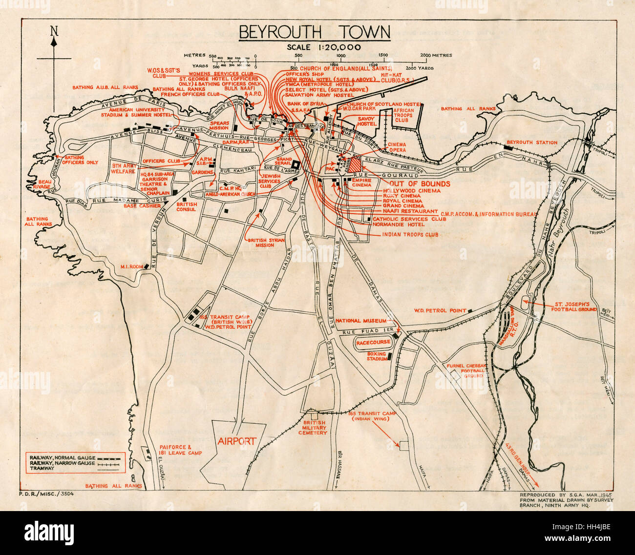 WW2 - Map of Beirut, Lebanon - with Military locations Stock Photohttps://www.alamy.com/image-license-details/?v=1https://www.alamy.com/stock-photo-ww2-map-of-beirut-lebanon-with-military-locations-131023970.html
RMHH4JBE–WW2 - Map of Beirut, Lebanon - with Military locations
 The Beirut-Damascus Route Map details the transportation route between Beirut, Lebanon, and Damascus, Syria. This map likely highlights major roads and transportation hubs connecting the two cities in the Middle East. Stock Photohttps://www.alamy.com/image-license-details/?v=1https://www.alamy.com/stock-image-the-beirut-damascus-route-map-details-the-transportation-route-between-167610092.html
RMKMK8AM–The Beirut-Damascus Route Map details the transportation route between Beirut, Lebanon, and Damascus, Syria. This map likely highlights major roads and transportation hubs connecting the two cities in the Middle East.
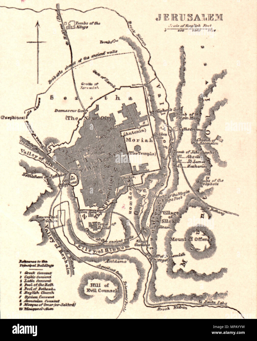 Johnson's Palestine. English: A beautiful example of A. J. Johnson’s 1862 map of Palestine / Israel / Holy Land. Details the region from Beirut south to Busaireh and Kadesh Barnea. Extends eastward as far as Mount Alsadamus in modern day Syria. Offers both contemporary and ancient geography, often noting multiple names for the same political and geographical features. Also shows numerous roadways and caravan routes throughout the region. An inset in the lower left hand quadrant details the Jerusalem with 10 important churches, biblical sites, and mosques noted. An engraved view of Damascus de Stock Photohttps://www.alamy.com/image-license-details/?v=1https://www.alamy.com/johnsons-palestine-english-a-beautiful-example-of-a-j-johnsons-1862-map-of-palestine-israel-holy-land-details-the-region-from-beirut-south-to-busaireh-and-kadesh-barnea-extends-eastward-as-far-as-mount-alsadamus-in-modern-day-syria-offers-both-contemporary-and-ancient-geography-often-noting-multiple-names-for-the-same-political-and-geographical-features-also-shows-numerous-roadways-and-caravan-routes-throughout-the-region-an-inset-in-the-lower-left-hand-quadrant-details-the-jerusalem-with-10-important-churches-biblical-sites-and-mosques-noted-an-engraved-view-of-damascus-de-image185867581.html
RMMPAYYW–Johnson's Palestine. English: A beautiful example of A. J. Johnson’s 1862 map of Palestine / Israel / Holy Land. Details the region from Beirut south to Busaireh and Kadesh Barnea. Extends eastward as far as Mount Alsadamus in modern day Syria. Offers both contemporary and ancient geography, often noting multiple names for the same political and geographical features. Also shows numerous roadways and caravan routes throughout the region. An inset in the lower left hand quadrant details the Jerusalem with 10 important churches, biblical sites, and mosques noted. An engraved view of Damascus de
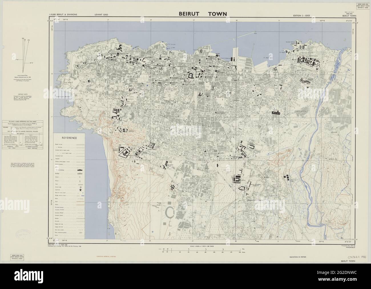 Beirut Plan, Beirut Map, Map of Beirut, Old Beirut Map, Retro Beirut Map, Vintage Beirut Map, Beirut Maps, Lebanon Map, Lebanon Print, Old Map, 1958 Stock Photohttps://www.alamy.com/image-license-details/?v=1https://www.alamy.com/beirut-plan-beirut-map-map-of-beirut-old-beirut-map-retro-beirut-map-vintage-beirut-map-beirut-maps-lebanon-map-lebanon-print-old-map-1958-image431791064.html
RF2G2DNWC–Beirut Plan, Beirut Map, Map of Beirut, Old Beirut Map, Retro Beirut Map, Vintage Beirut Map, Beirut Maps, Lebanon Map, Lebanon Print, Old Map, 1958
 Map of Beirut, Lebanon, satellite view, map in 3d. Black and white Stock Photohttps://www.alamy.com/image-license-details/?v=1https://www.alamy.com/stock-photo-map-of-beirut-lebanon-satellite-view-map-in-3d-black-and-white-86626094.html
RFF0X4D2–Map of Beirut, Lebanon, satellite view, map in 3d. Black and white
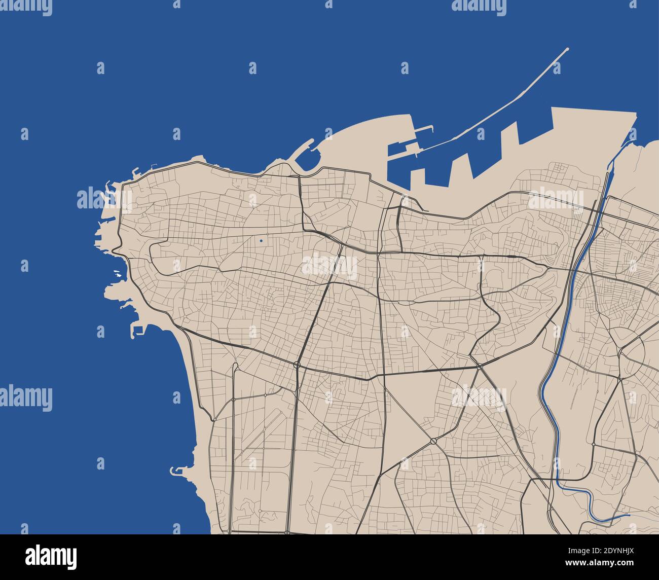 Beirut city map poster. Map of Beirut street map poster. Beirut map vector illustration. Stock Vectorhttps://www.alamy.com/image-license-details/?v=1https://www.alamy.com/beirut-city-map-poster-map-of-beirut-street-map-poster-beirut-map-vector-illustration-image395698658.html
RF2DYNHJX–Beirut city map poster. Map of Beirut street map poster. Beirut map vector illustration.
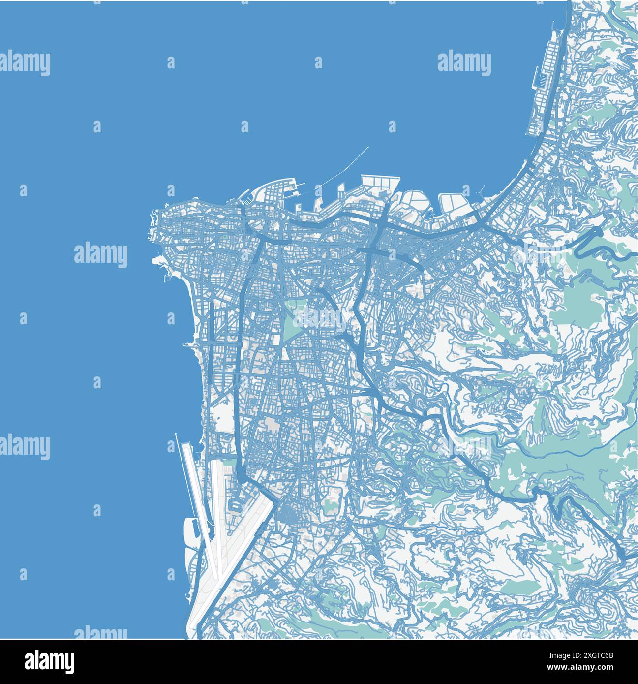 Map of Beirut in Lebanon in blue. Contains layered vector with roads water, parks, etc. Stock Vectorhttps://www.alamy.com/image-license-details/?v=1https://www.alamy.com/map-of-beirut-in-lebanon-in-blue-contains-layered-vector-with-roads-water-parks-etc-image612733811.html
RF2XGTC6B–Map of Beirut in Lebanon in blue. Contains layered vector with roads water, parks, etc.
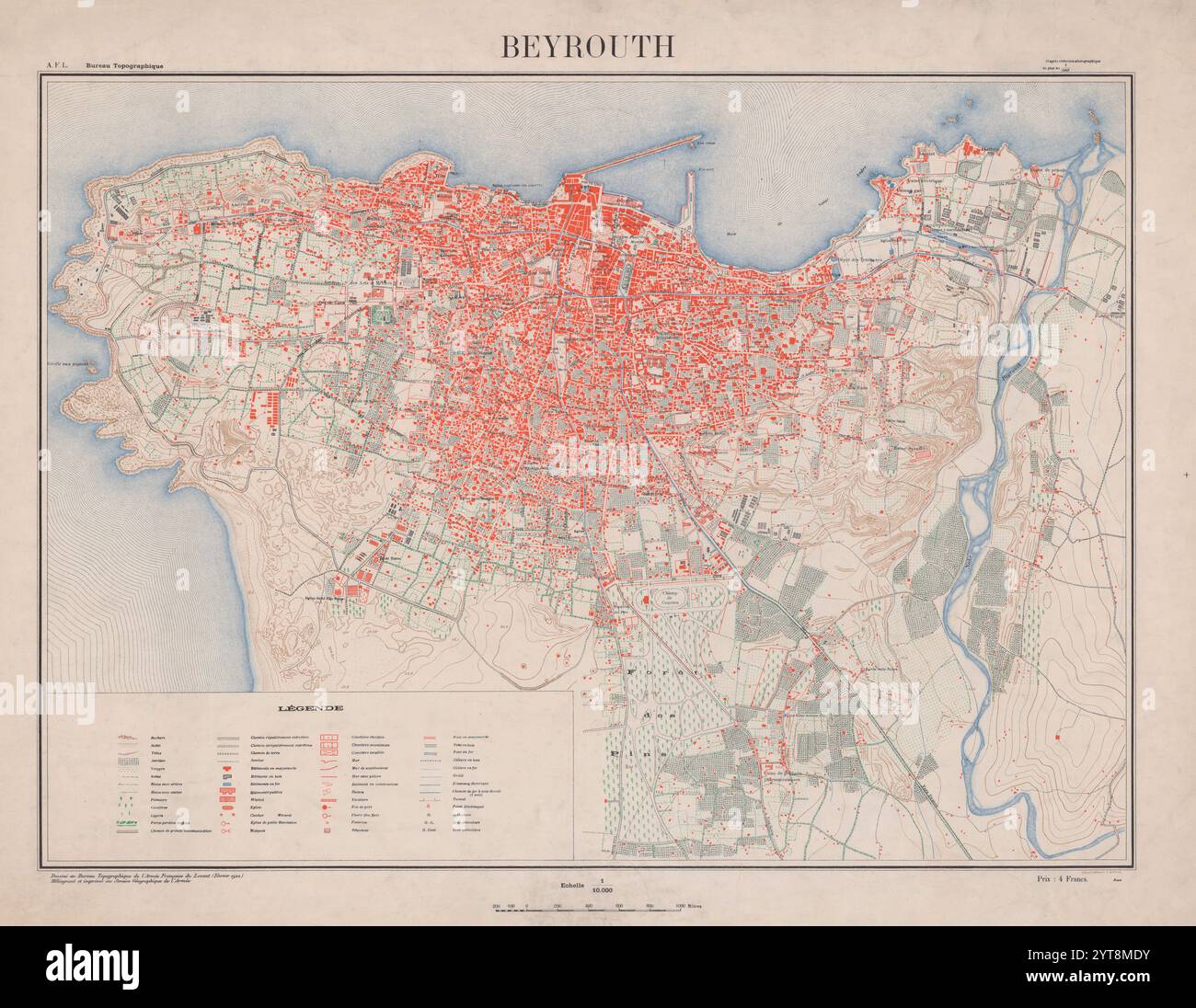 1922 Map of Beirut, Lebanon. Produce by French Military Services. Stock Photohttps://www.alamy.com/image-license-details/?v=1https://www.alamy.com/1922-map-of-beirut-lebanon-produce-by-french-military-services-image634516679.html
RM2YT8MDY–1922 Map of Beirut, Lebanon. Produce by French Military Services.
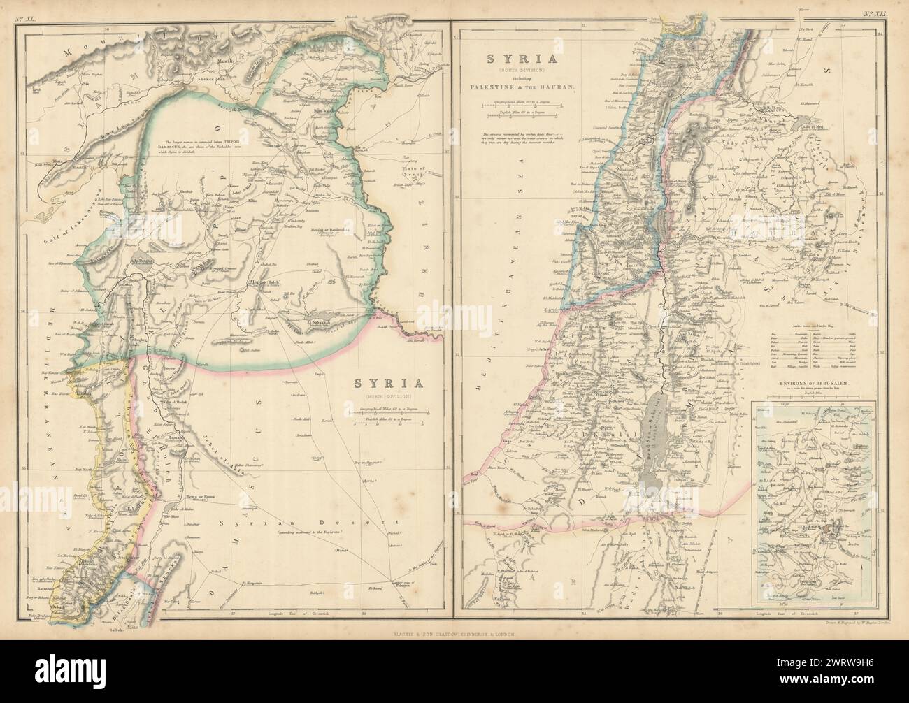 Syria including Palestine & the Hauran. Lebanon Beirut Israel. HUGHES 1860 map Stock Photohttps://www.alamy.com/image-license-details/?v=1https://www.alamy.com/syria-including-palestine-the-hauran-lebanon-beirut-israel-hughes-1860-map-image599845938.html
RF2WRW9H6–Syria including Palestine & the Hauran. Lebanon Beirut Israel. HUGHES 1860 map
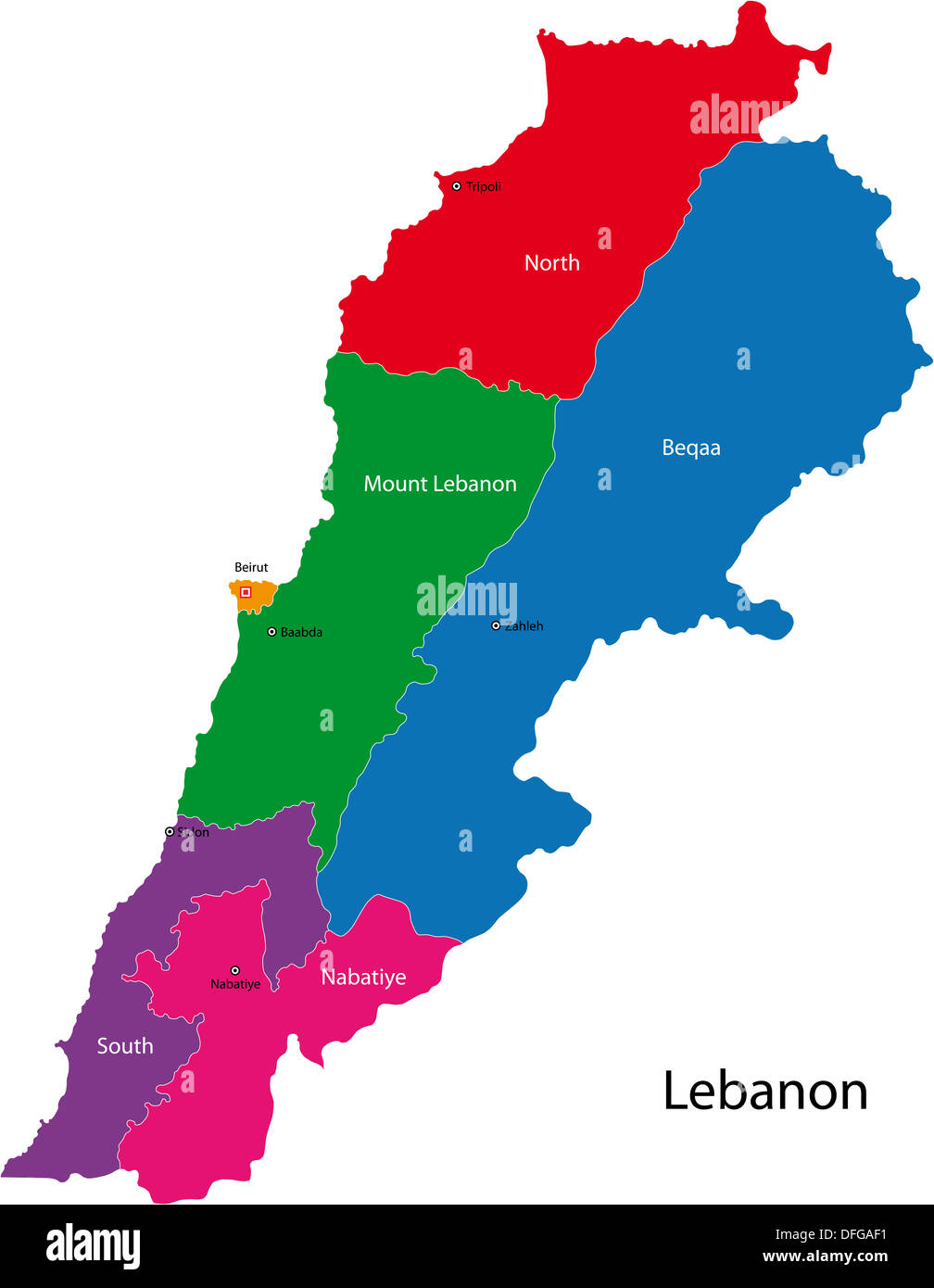 Lebanon map Stock Photohttps://www.alamy.com/image-license-details/?v=1https://www.alamy.com/lebanon-map-image61210437.html
RFDFGAF1–Lebanon map
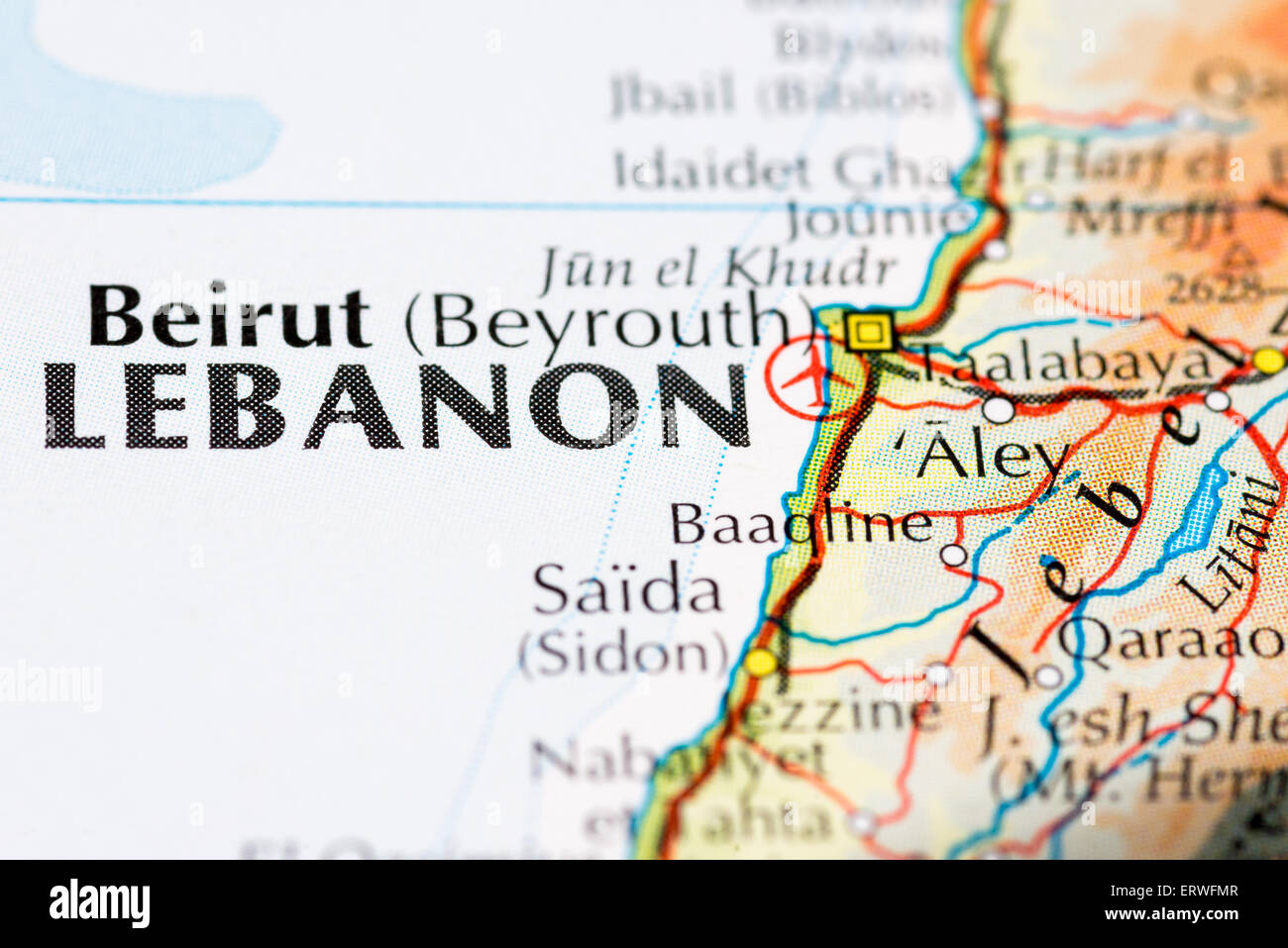 Close up map of Beirut and the Lebanon Stock Photohttps://www.alamy.com/image-license-details/?v=1https://www.alamy.com/stock-photo-close-up-map-of-beirut-and-the-lebanon-83539703.html
RMERWFMR–Close up map of Beirut and the Lebanon
 Lebanon map Stock Photohttps://www.alamy.com/image-license-details/?v=1https://www.alamy.com/stock-photo-lebanon-map-130703789.html
RFHGJ20D–Lebanon map
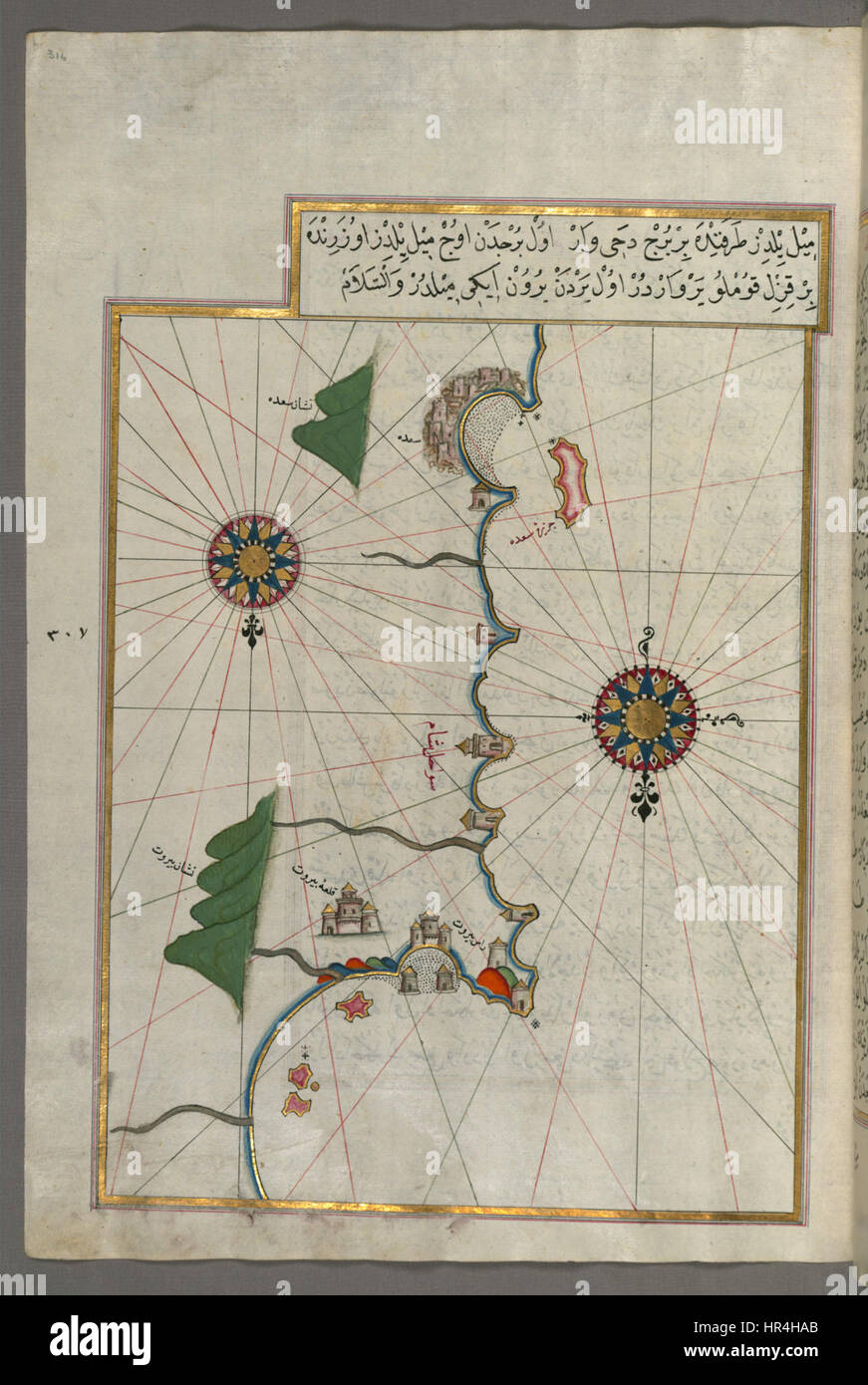 Piri Reis’ famous map, created in the early 16th century, depicts the eastern Mediterranean coastline, extending as far as Beirut. It is one of the most important surviving Ottoman maps, showcasing detailed coastlines and early geographical knowledge. Stock Photohttps://www.alamy.com/image-license-details/?v=1https://www.alamy.com/stock-photo-piri-reis-famous-map-created-in-the-early-16th-century-depicts-the-134711091.html
RMHR4HAB–Piri Reis’ famous map, created in the early 16th century, depicts the eastern Mediterranean coastline, extending as far as Beirut. It is one of the most important surviving Ottoman maps, showcasing detailed coastlines and early geographical knowledge.
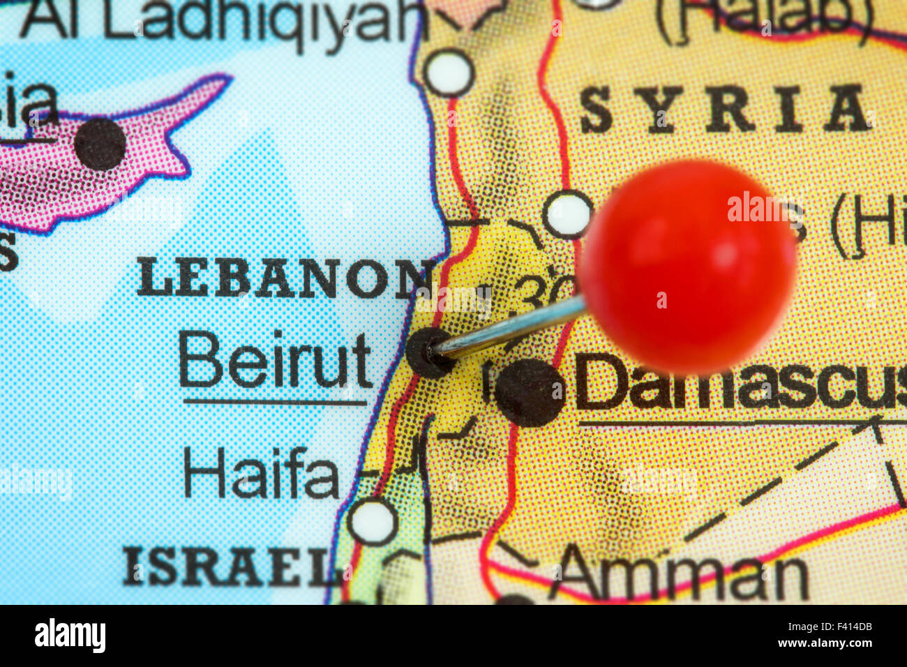 Close-up of a red pushpin in a map of Beirut, Lebanon. Stock Photohttps://www.alamy.com/image-license-details/?v=1https://www.alamy.com/stock-photo-close-up-of-a-red-pushpin-in-a-map-of-beirut-lebanon-88535927.html
RFF414DB–Close-up of a red pushpin in a map of Beirut, Lebanon.
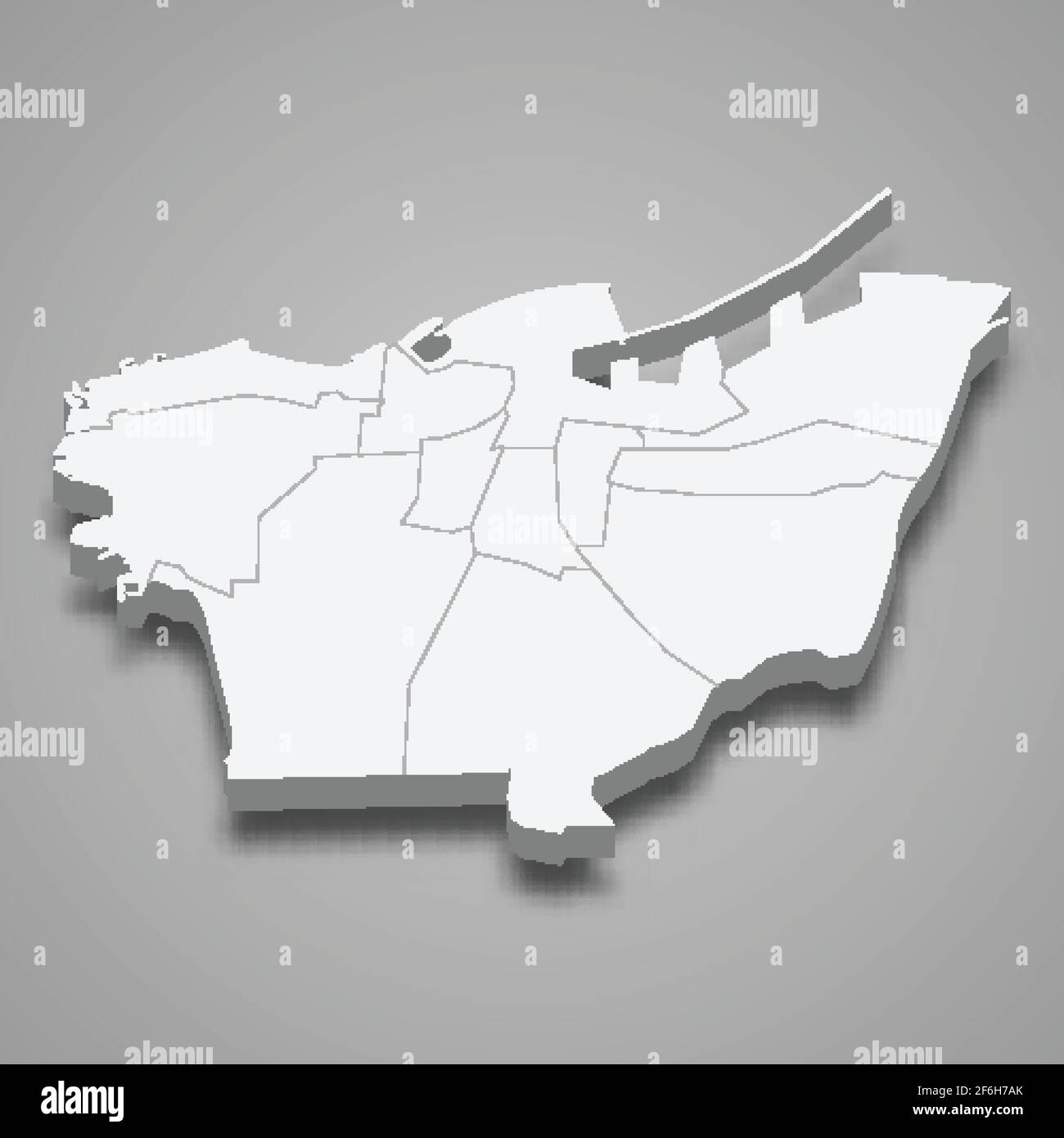 3d isometric map of Beirut is a Governorate of Lebanon, vector illustration Stock Vectorhttps://www.alamy.com/image-license-details/?v=1https://www.alamy.com/3d-isometric-map-of-beirut-is-a-governorate-of-lebanon-vector-illustration-image417115739.html
RF2F6H7AK–3d isometric map of Beirut is a Governorate of Lebanon, vector illustration
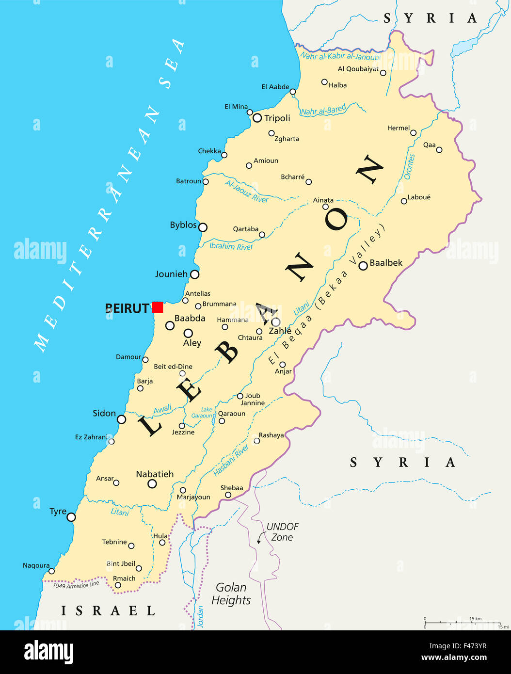 Lebanon political map with capital Beirut, national borders, important cities, rivers and lakes. English labeling and scaling. Stock Photohttps://www.alamy.com/image-license-details/?v=1https://www.alamy.com/stock-photo-lebanon-political-map-with-capital-beirut-national-borders-important-88667259.html
RFF473YR–Lebanon political map with capital Beirut, national borders, important cities, rivers and lakes. English labeling and scaling.
 An illustration of an aerial map of Beirut, Lebanon Stock Photohttps://www.alamy.com/image-license-details/?v=1https://www.alamy.com/an-illustration-of-an-aerial-map-of-beirut-lebanon-image573804985.html
RF2T9F235–An illustration of an aerial map of Beirut, Lebanon
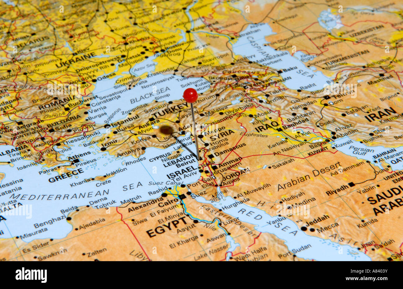 Israel Stock Photohttps://www.alamy.com/image-license-details/?v=1https://www.alamy.com/stock-photo-israel-11979566.html
RFA8403Y–Israel
 mono map sheet beirut lebanon Stock Photohttps://www.alamy.com/image-license-details/?v=1https://www.alamy.com/mono-map-sheet-beirut-lebanon-image1160865.html
RFAHB6A2–mono map sheet beirut lebanon
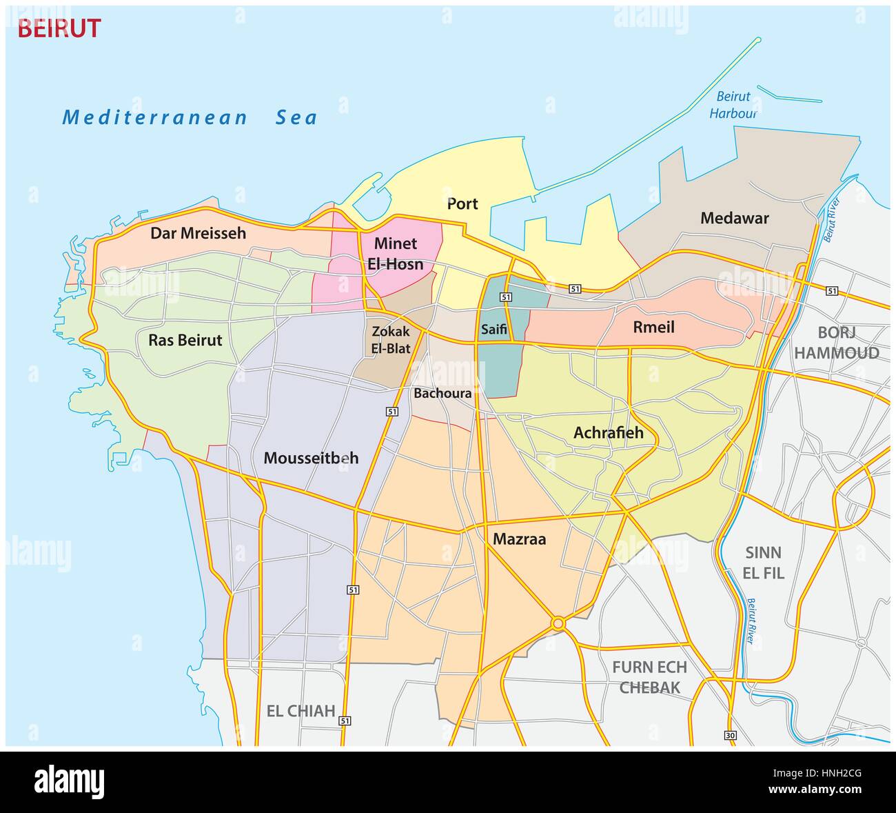 Roads, administrative and political map of the Lebanese capital Beirut Stock Vectorhttps://www.alamy.com/image-license-details/?v=1https://www.alamy.com/stock-photo-roads-administrative-and-political-map-of-the-lebanese-capital-beirut-133755456.html
RFHNH2CG–Roads, administrative and political map of the Lebanese capital Beirut
 This map depicts the route between Beirut and Damascus, showing the connection between two major cities in the Middle East, used for travel and trade throughout history. Stock Photohttps://www.alamy.com/image-license-details/?v=1https://www.alamy.com/stock-image-this-map-depicts-the-route-between-beirut-and-damascus-showing-the-162761493.html
RMKCPBXD–This map depicts the route between Beirut and Damascus, showing the connection between two major cities in the Middle East, used for travel and trade throughout history.
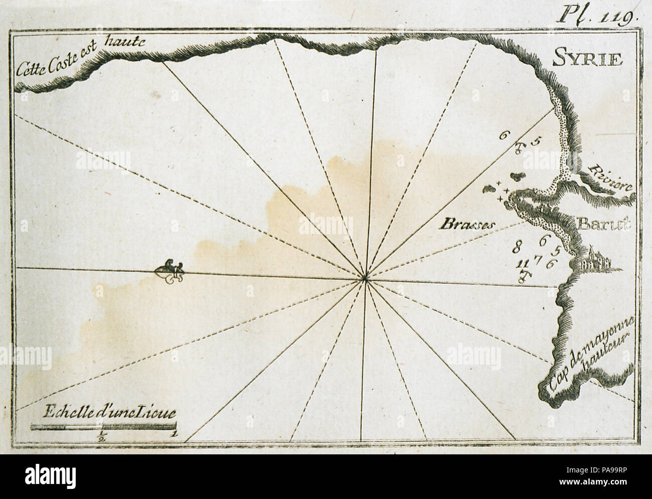 167 Map of the port and of the coastline north of Beirut - Roux Joseph - 1804 Stock Photohttps://www.alamy.com/image-license-details/?v=1https://www.alamy.com/167-map-of-the-port-and-of-the-coastline-north-of-beirut-roux-joseph-1804-image212876266.html
RMPA99RP–167 Map of the port and of the coastline north of Beirut - Roux Joseph - 1804
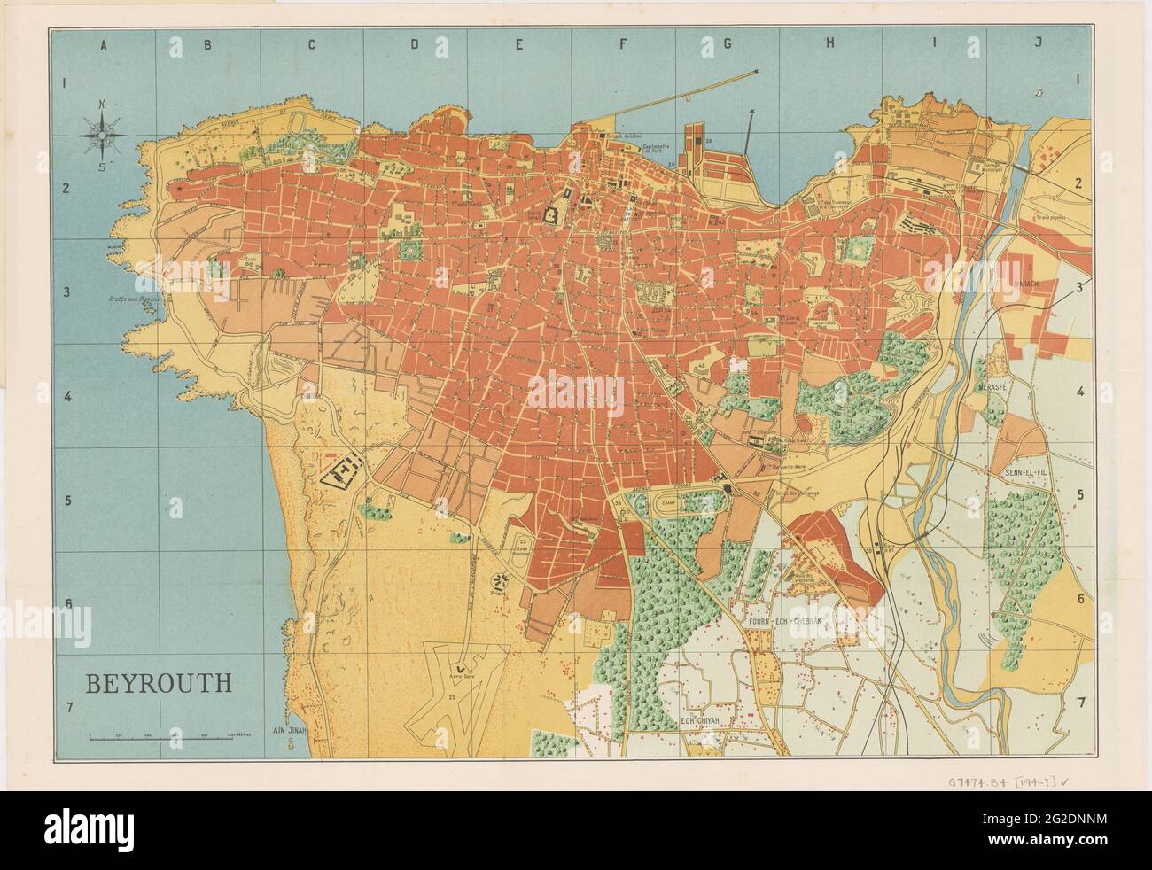 Beirut Plan, Beirut Map, Map of Beirut, Old Beirut Map, Retro Beirut Map, Vintage Beirut Map, Beirut Maps, Lebanon Map, Lebanon Print, Old Map, 1949 Stock Photohttps://www.alamy.com/image-license-details/?v=1https://www.alamy.com/beirut-plan-beirut-map-map-of-beirut-old-beirut-map-retro-beirut-map-vintage-beirut-map-beirut-maps-lebanon-map-lebanon-print-old-map-1949-image431790960.html
RF2G2DNNM–Beirut Plan, Beirut Map, Map of Beirut, Old Beirut Map, Retro Beirut Map, Vintage Beirut Map, Beirut Maps, Lebanon Map, Lebanon Print, Old Map, 1949
 Black and white printable road map of Beirut city Lebanon banner poster design with coordinate position location, vector illustration Stock Vectorhttps://www.alamy.com/image-license-details/?v=1https://www.alamy.com/black-and-white-printable-road-map-of-beirut-city-lebanon-banner-poster-design-with-coordinate-position-location-vector-illustration-image653048656.html
RF2SXCX68–Black and white printable road map of Beirut city Lebanon banner poster design with coordinate position location, vector illustration
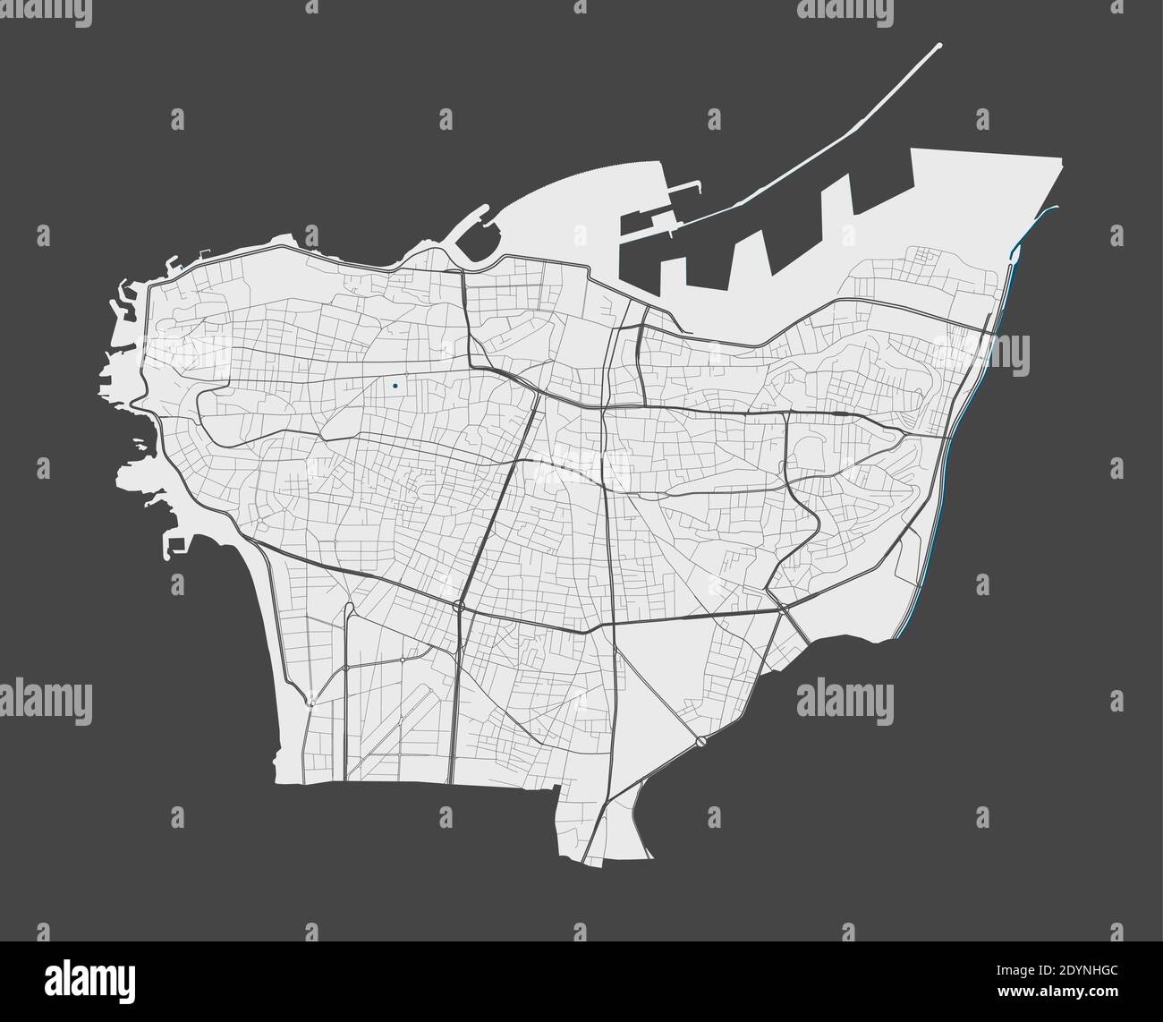 Beirut map. Detailed vector map of Beirut city administrative area. Poster with streets and water on grey background. Stock Vectorhttps://www.alamy.com/image-license-details/?v=1https://www.alamy.com/beirut-map-detailed-vector-map-of-beirut-city-administrative-area-poster-with-streets-and-water-on-grey-background-image395698588.html
RF2DYNHGC–Beirut map. Detailed vector map of Beirut city administrative area. Poster with streets and water on grey background.
 Road map of Beirut in Lebanon. Contains layered vector with roads water, parks, etc. Stock Vectorhttps://www.alamy.com/image-license-details/?v=1https://www.alamy.com/road-map-of-beirut-in-lebanon-contains-layered-vector-with-roads-water-parks-etc-image612998849.html
RF2XH8E81–Road map of Beirut in Lebanon. Contains layered vector with roads water, parks, etc.
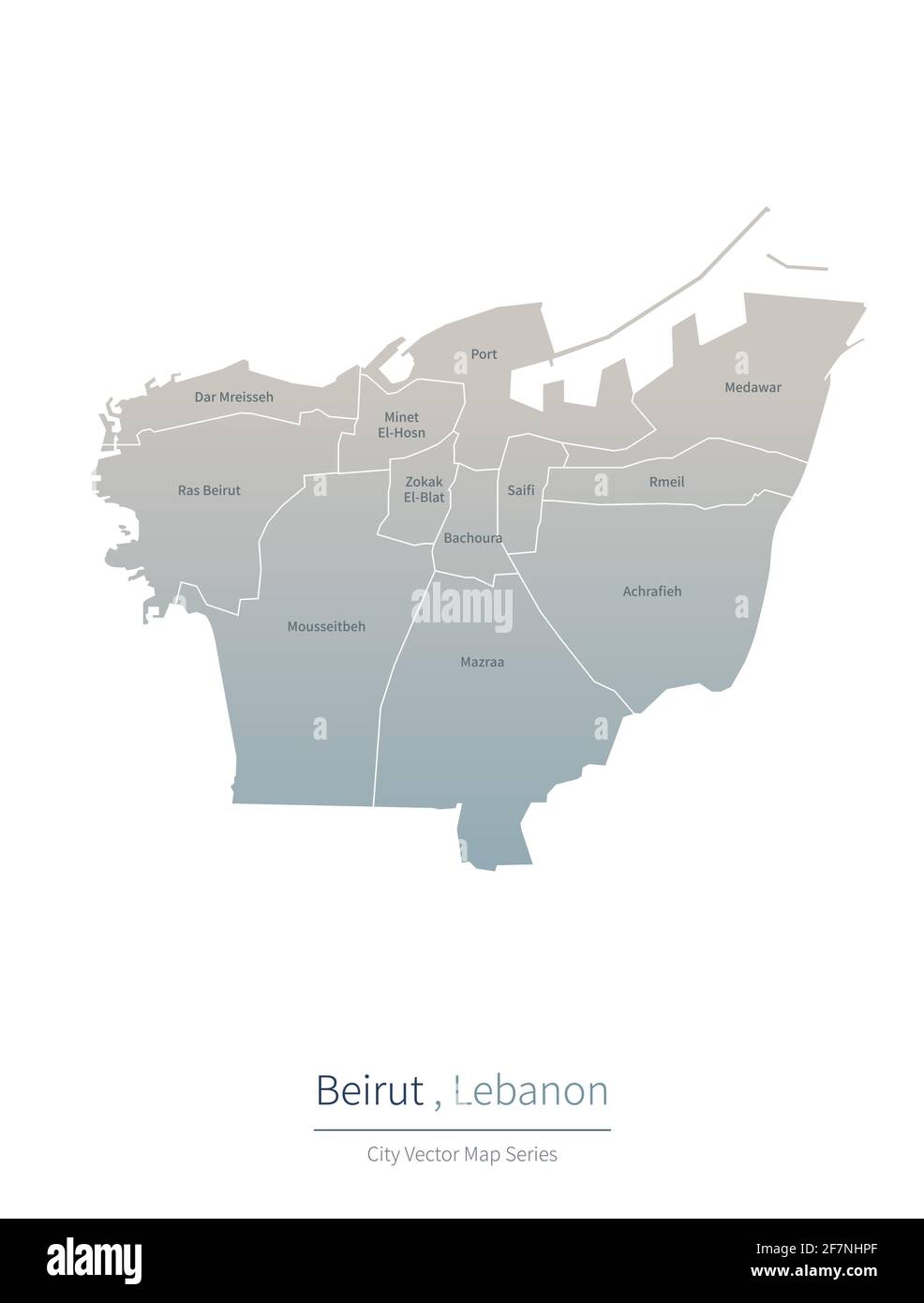 Beirut Map. vector map of major city in the lebanon. Stock Vectorhttps://www.alamy.com/image-license-details/?v=1https://www.alamy.com/beirut-map-vector-map-of-major-city-in-the-lebanon-image417826375.html
RF2F7NHPF–Beirut Map. vector map of major city in the lebanon.
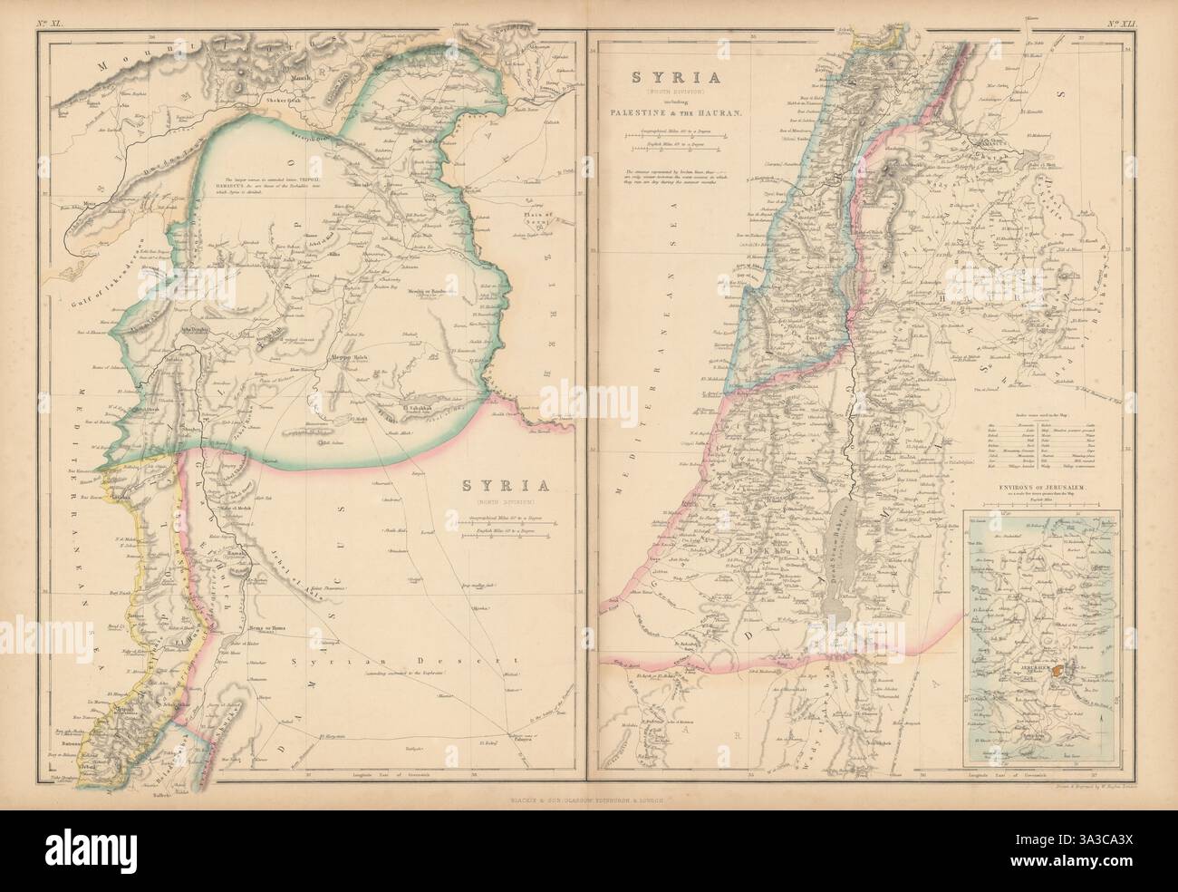 Syria including Palestine & the Hauran. Lebanon Beirut Israel. HUGHES 1860 map Stock Photohttps://www.alamy.com/image-license-details/?v=1https://www.alamy.com/syria-including-palestine-the-hauran-lebanon-beirut-israel-hughes-1860-map-image656109326.html
RF3A3CA3X–Syria including Palestine & the Hauran. Lebanon Beirut Israel. HUGHES 1860 map
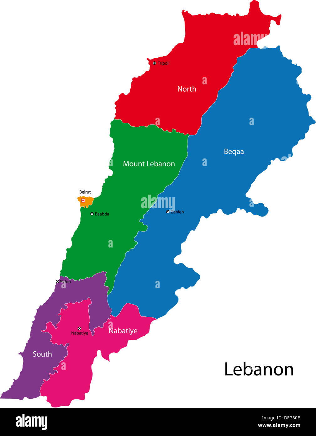 Lebanon map Stock Photohttps://www.alamy.com/image-license-details/?v=1https://www.alamy.com/lebanon-map-image61208459.html
RFDFG80B–Lebanon map
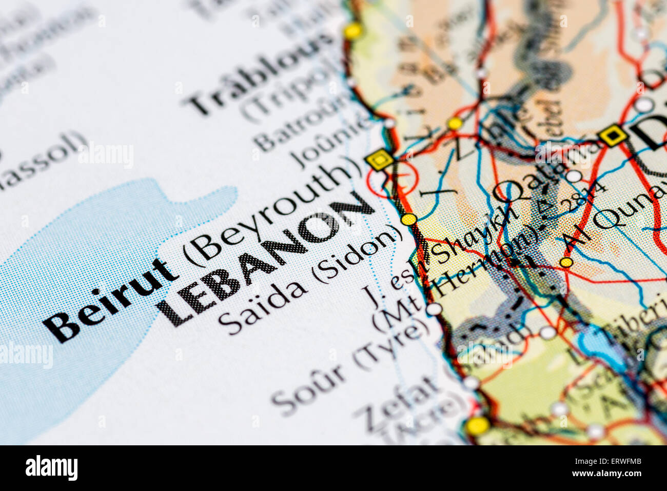 Close up map of Beirut and the Lebanon Stock Photohttps://www.alamy.com/image-license-details/?v=1https://www.alamy.com/stock-photo-close-up-map-of-beirut-and-the-lebanon-83539691.html
RMERWFMB–Close up map of Beirut and the Lebanon
 Beirut Lebanon Map in grey Stock Vectorhttps://www.alamy.com/image-license-details/?v=1https://www.alamy.com/stock-photo-beirut-lebanon-map-in-grey-131928452.html
RFHJHT2C–Beirut Lebanon Map in grey
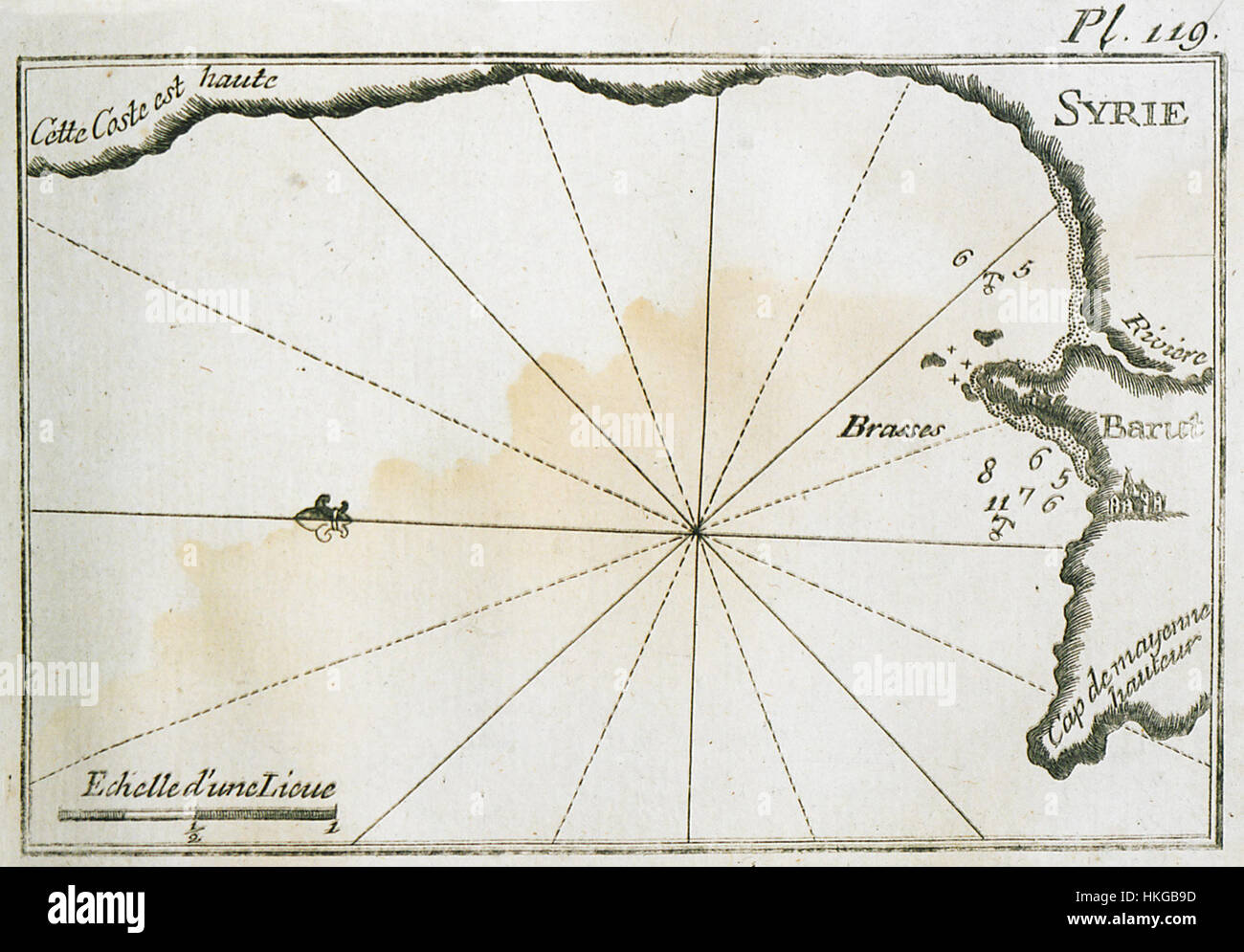 Joseph Roux’s 1804 map of the port and coastline north of Beirut provides a detailed topographical representation of the region, capturing the historical geography and nautical features of this Mediterranean area. Stock Photohttps://www.alamy.com/image-license-details/?v=1https://www.alamy.com/stock-photo-joseph-rouxs-1804-map-of-the-port-and-coastline-north-of-beirut-provides-132511161.html
RMHKGB9D–Joseph Roux’s 1804 map of the port and coastline north of Beirut provides a detailed topographical representation of the region, capturing the historical geography and nautical features of this Mediterranean area.
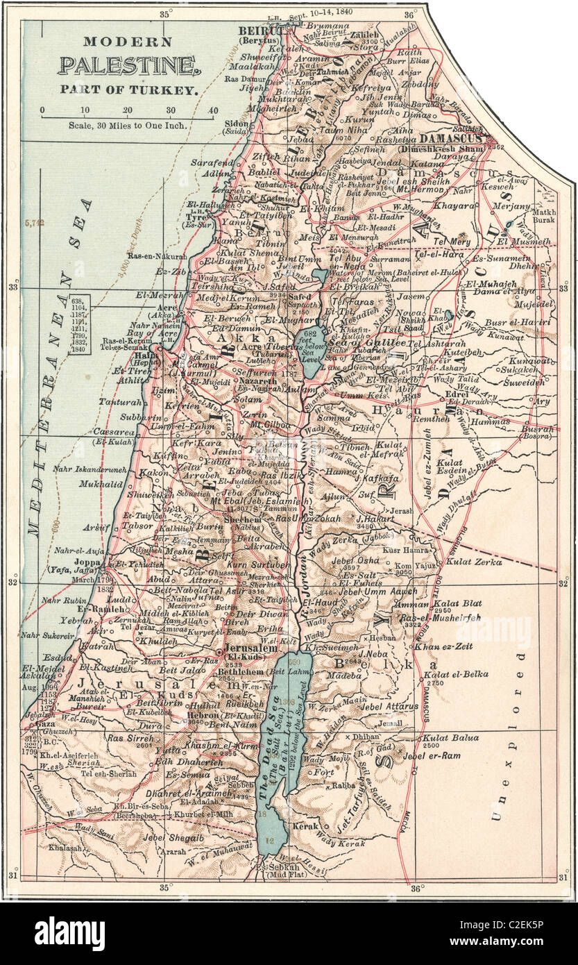 Map of Palestine part of Turkey Stock Photohttps://www.alamy.com/image-license-details/?v=1https://www.alamy.com/stock-photo-map-of-palestine-part-of-turkey-35972434.html
RMC2EK5P–Map of Palestine part of Turkey
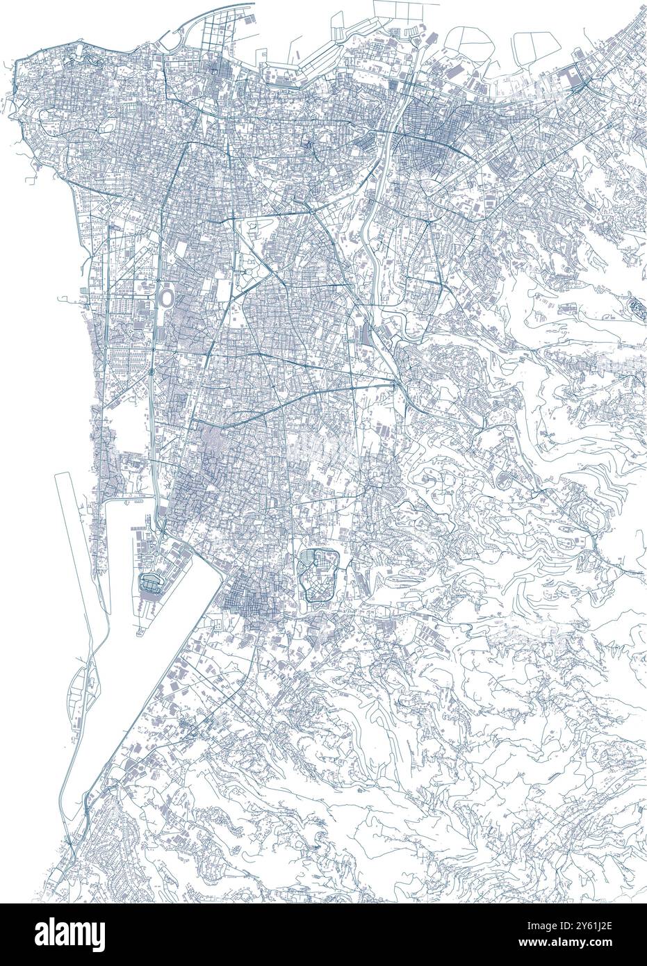 Streets of Beirut, city map, Lebanon. Buildings and roads, vector Stock Vectorhttps://www.alamy.com/image-license-details/?v=1https://www.alamy.com/streets-of-beirut-city-map-lebanon-buildings-and-roads-vector-image623297318.html
RF2Y61J2E–Streets of Beirut, city map, Lebanon. Buildings and roads, vector
 Lebanon political map with capital Beirut. Lebanese Republic, state in Western Asia at Mediterranean Sea, bordered by Syria and Israel. Stock Photohttps://www.alamy.com/image-license-details/?v=1https://www.alamy.com/stock-photo-lebanon-political-map-with-capital-beirut-lebanese-republic-state-147782442.html
RFJGC20A–Lebanon political map with capital Beirut. Lebanese Republic, state in Western Asia at Mediterranean Sea, bordered by Syria and Israel.
 Beirut pinned on a map of Lebanon Stock Photohttps://www.alamy.com/image-license-details/?v=1https://www.alamy.com/stock-photo-beirut-pinned-on-a-map-of-lebanon-121288714.html
RFH194YP–Beirut pinned on a map of Lebanon
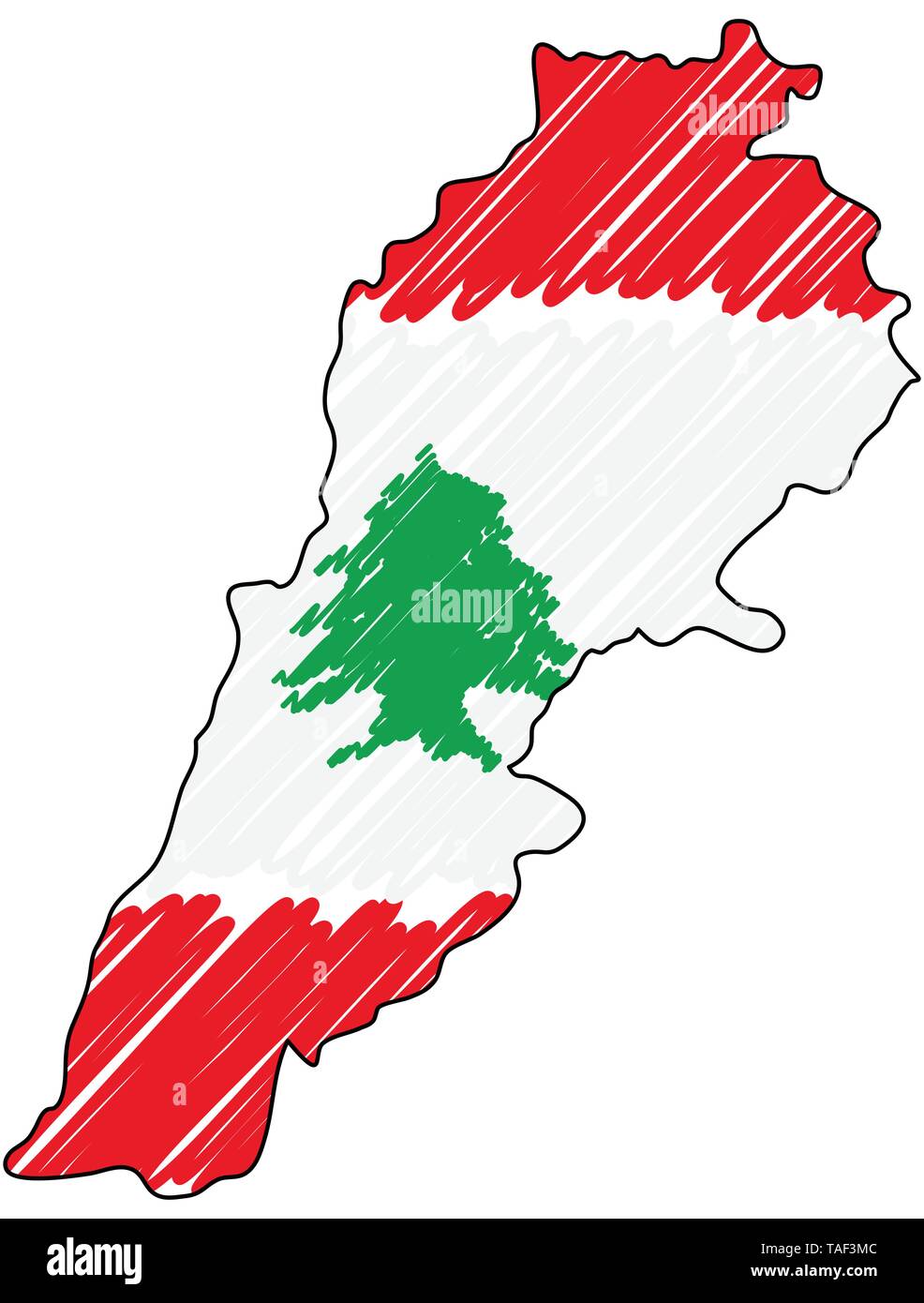 Lebanon map hand drawn sketch. Vector concept illustration flag, childrens drawing, scribble map. Country map for infographic, brochures and Stock Vectorhttps://www.alamy.com/image-license-details/?v=1https://www.alamy.com/lebanon-map-hand-drawn-sketch-vector-concept-illustration-flag-childrens-drawing-scribble-map-country-map-for-infographic-brochures-and-image247423916.html
RFTAF3MC–Lebanon map hand drawn sketch. Vector concept illustration flag, childrens drawing, scribble map. Country map for infographic, brochures and
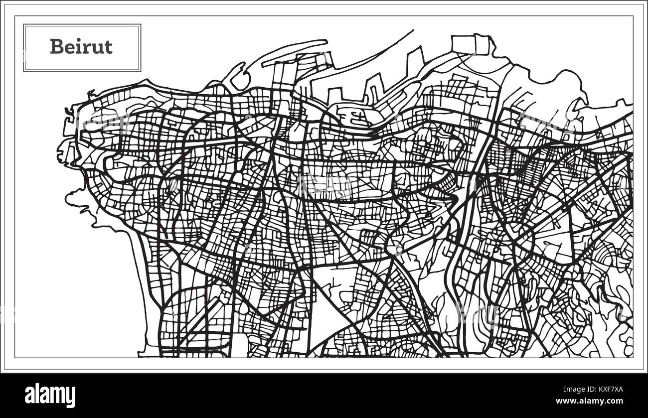 Beirut Lebanon City Map in Black and White Color. Vector Illustration. Outline Map. Stock Vectorhttps://www.alamy.com/image-license-details/?v=1https://www.alamy.com/stock-photo-beirut-lebanon-city-map-in-black-and-white-color-vector-illustration-171209874.html
RFKXF7XA–Beirut Lebanon City Map in Black and White Color. Vector Illustration. Outline Map.
 President Gerald Ford and National Security Adviser Brent Scowcroft point to a map of Beirut following the assassinations of Stock Photohttps://www.alamy.com/image-license-details/?v=1https://www.alamy.com/stock-photo-president-gerald-ford-and-national-security-adviser-brent-scowcroft-48036411.html
RMCP46X3–President Gerald Ford and National Security Adviser Brent Scowcroft point to a map of Beirut following the assassinations of
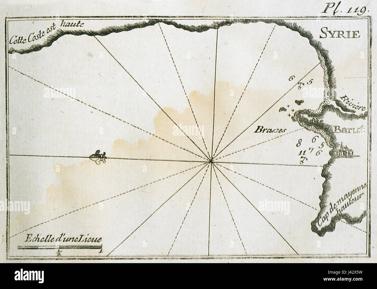 This 1804 map by Joseph Roux provides a detailed depiction of the port and coastline north of Beirut, showcasing the strategic maritime geography of the region during the early 19th century. Stock Photohttps://www.alamy.com/image-license-details/?v=1https://www.alamy.com/stock-photo-this-1804-map-by-joseph-roux-provides-a-detailed-depiction-of-the-140206021.html
RMJ42X5W–This 1804 map by Joseph Roux provides a detailed depiction of the port and coastline north of Beirut, showcasing the strategic maritime geography of the region during the early 19th century.
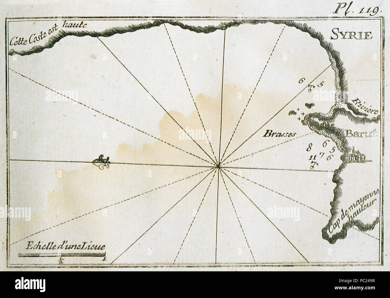 394 Map of the port and of the coastline north of Beirut - Roux Joseph - 1804 Stock Photohttps://www.alamy.com/image-license-details/?v=1https://www.alamy.com/394-map-of-the-port-and-of-the-coastline-north-of-beirut-roux-joseph-1804-image213947603.html
RMPC249R–394 Map of the port and of the coastline north of Beirut - Roux Joseph - 1804
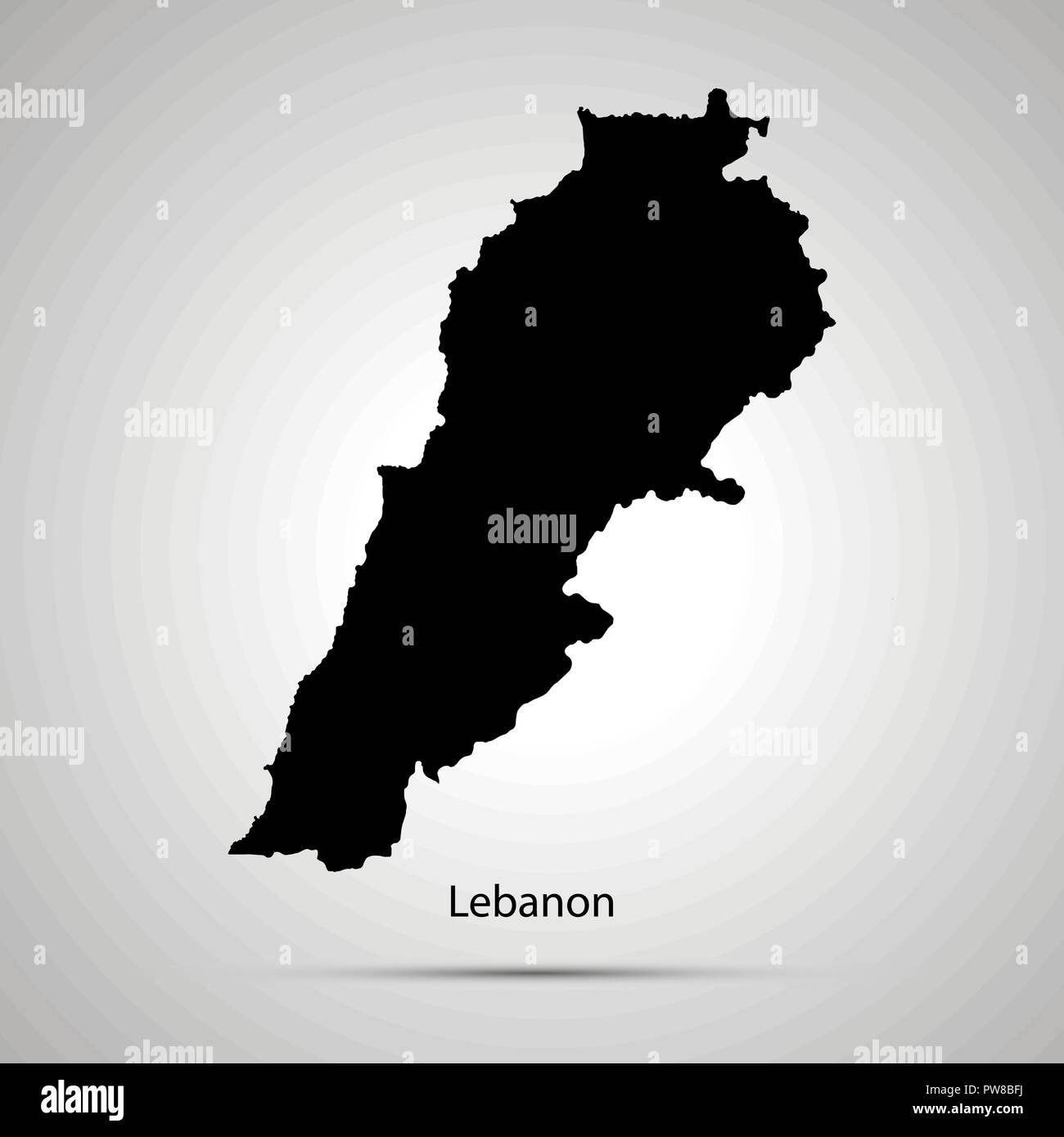 Lebanon country map, simple black silhouette on gray Stock Vectorhttps://www.alamy.com/image-license-details/?v=1https://www.alamy.com/lebanon-country-map-simple-black-silhouette-on-gray-image222075494.html
RFPW8BFJ–Lebanon country map, simple black silhouette on gray
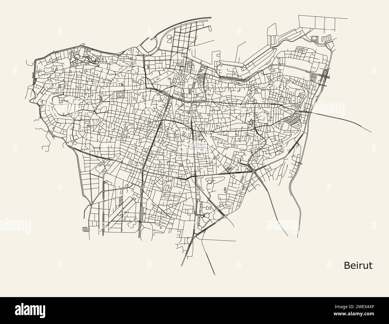 City road map of Beirut Lebanon Stock Vectorhttps://www.alamy.com/image-license-details/?v=1https://www.alamy.com/city-road-map-of-beirut-lebanon-image594332334.html
RF2WEX4XP–City road map of Beirut Lebanon
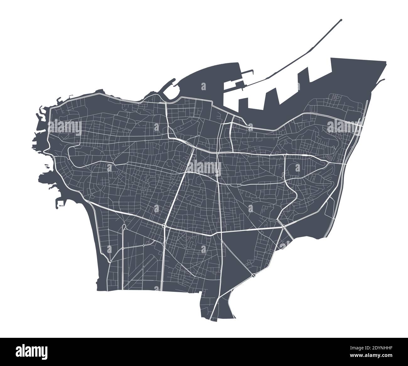 Beirut map. Detailed vector map of Beirut city administrative area. Dark poster with streets on white background. Stock Vectorhttps://www.alamy.com/image-license-details/?v=1https://www.alamy.com/beirut-map-detailed-vector-map-of-beirut-city-administrative-area-dark-poster-with-streets-on-white-background-image395698619.html
RF2DYNHHF–Beirut map. Detailed vector map of Beirut city administrative area. Dark poster with streets on white background.
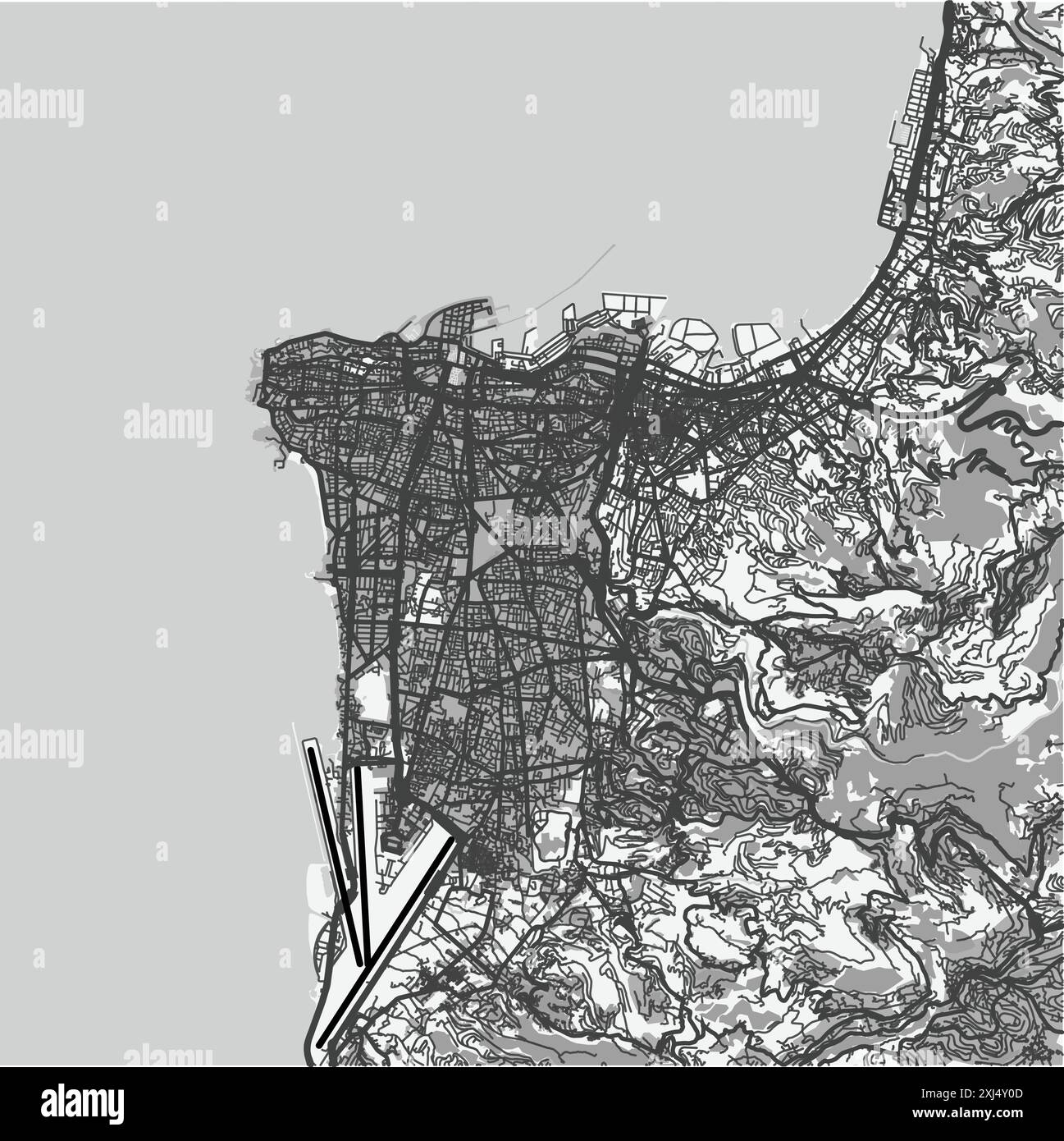 Map of Beirut in Lebanon in grayscale. Contains layered vector with roads water, parks, etc. Stock Vectorhttps://www.alamy.com/image-license-details/?v=1https://www.alamy.com/map-of-beirut-in-lebanon-in-grayscale-contains-layered-vector-with-roads-water-parks-etc-image613535677.html
RF2XJ4Y0D–Map of Beirut in Lebanon in grayscale. Contains layered vector with roads water, parks, etc.
 City Map Beirut Lebanon Asia vector illustration Stock Vectorhttps://www.alamy.com/image-license-details/?v=1https://www.alamy.com/city-map-beirut-lebanon-asia-vector-illustration-image554133949.html
RF2R5EYE5–City Map Beirut Lebanon Asia vector illustration
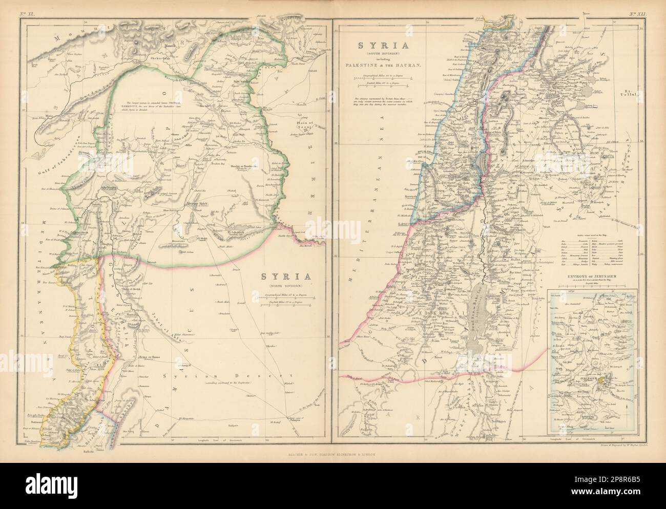 Syria including Palestine & the Hauran. Lebanon Beirut Israel. HUGHES 1859 map Stock Photohttps://www.alamy.com/image-license-details/?v=1https://www.alamy.com/syria-including-palestine-the-hauran-lebanon-beirut-israel-hughes-1859-map-image538948569.html
RF2P8R6B5–Syria including Palestine & the Hauran. Lebanon Beirut Israel. HUGHES 1859 map
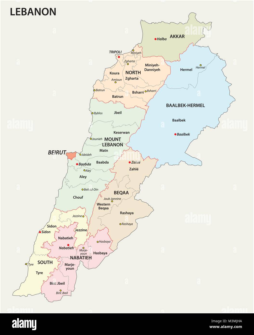 Detailed Lebanon administrative and political vector map Stock Vectorhttps://www.alamy.com/image-license-details/?v=1https://www.alamy.com/stock-photo-detailed-lebanon-administrative-and-political-vector-map-174401286.html
RFM3MJHA–Detailed Lebanon administrative and political vector map
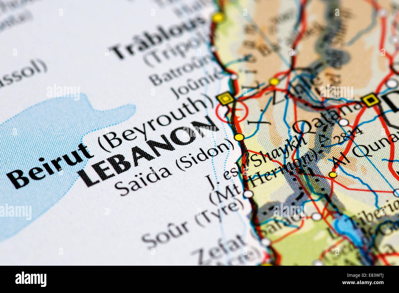 Close up map of Beirut and the Lebanon Stock Photohttps://www.alamy.com/image-license-details/?v=1https://www.alamy.com/stock-photo-close-up-map-of-beirut-and-the-lebanon-73844866.html
RME83WTJ–Close up map of Beirut and the Lebanon
 Beirut governorate map of Lebanon in front of a white background Stock Photohttps://www.alamy.com/image-license-details/?v=1https://www.alamy.com/beirut-governorate-map-of-lebanon-in-front-of-a-white-background-image224115172.html
RFR0H958–Beirut governorate map of Lebanon in front of a white background
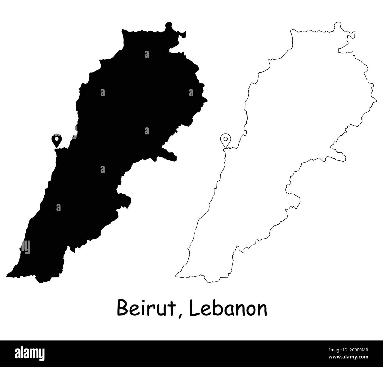 Beirut Lebanon. Detailed Country Map with Location Pin on Capital City. Black silhouette and outline maps isolated on white background. EPS Vector Stock Vectorhttps://www.alamy.com/image-license-details/?v=1https://www.alamy.com/beirut-lebanon-detailed-country-map-with-location-pin-on-capital-city-black-silhouette-and-outline-maps-isolated-on-white-background-eps-vector-image367440215.html
RF2C9P9MR–Beirut Lebanon. Detailed Country Map with Location Pin on Capital City. Black silhouette and outline maps isolated on white background. EPS Vector
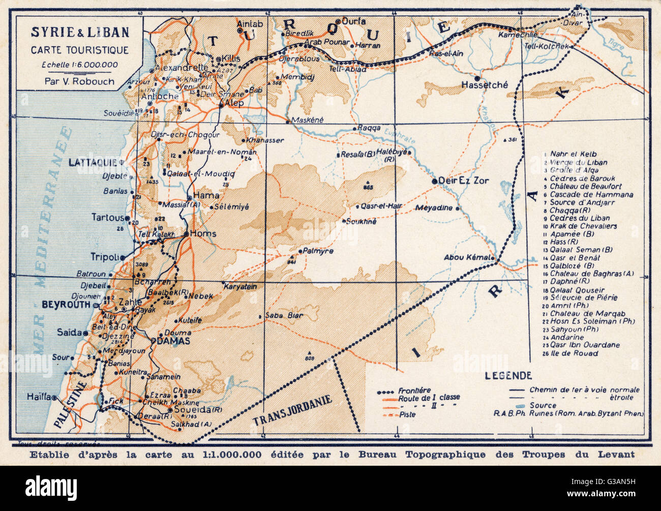 Syria and Lebanon - Tourist Map Stock Photohttps://www.alamy.com/image-license-details/?v=1https://www.alamy.com/stock-photo-syria-and-lebanon-tourist-map-105342317.html
RMG3AN5H–Syria and Lebanon - Tourist Map
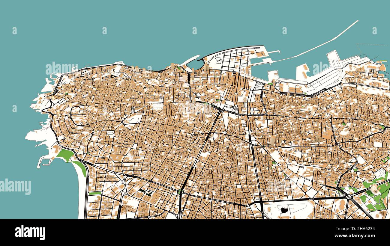 Satellite view of Beirut, Lebanon. Map, streets and buildings. 3d rendering Stock Photohttps://www.alamy.com/image-license-details/?v=1https://www.alamy.com/satellite-view-of-beirut-lebanon-map-streets-and-buildings-3d-rendering-image453749496.html
RF2HA6234–Satellite view of Beirut, Lebanon. Map, streets and buildings. 3d rendering
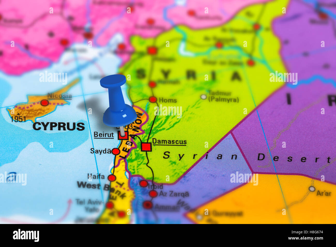 Beirut Lebanon map Stock Photohttps://www.alamy.com/image-license-details/?v=1https://www.alamy.com/stock-photo-beirut-lebanon-map-125745960.html
RFH8G674–Beirut Lebanon map
 Beirut pinned on a map of Asia Stock Photohttps://www.alamy.com/image-license-details/?v=1https://www.alamy.com/stock-photo-beirut-pinned-on-a-map-of-asia-88047524.html
RFF36WEC–Beirut pinned on a map of Asia
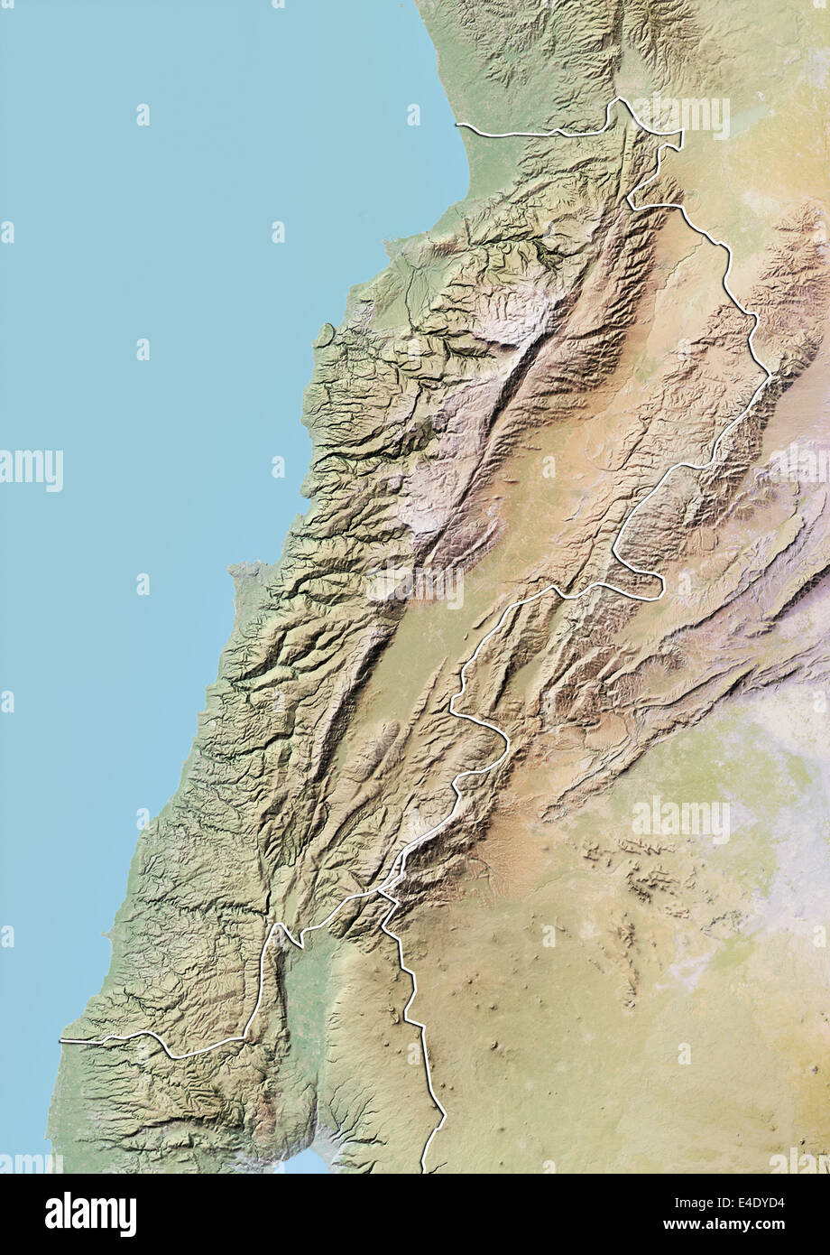 Lebanon, Relief Map With Border Stock Photohttps://www.alamy.com/image-license-details/?v=1https://www.alamy.com/stock-photo-lebanon-relief-map-with-border-71607008.html
RME4DYD4–Lebanon, Relief Map With Border
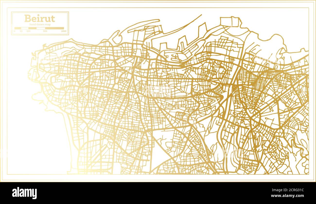 Beirut Lebanon City Map in Retro Style in Golden Color. Outline Map. Vector Illustration. Stock Vectorhttps://www.alamy.com/image-license-details/?v=1https://www.alamy.com/beirut-lebanon-city-map-in-retro-style-in-golden-color-outline-map-vector-illustration-image375908440.html
RF2CRG31C–Beirut Lebanon City Map in Retro Style in Golden Color. Outline Map. Vector Illustration.
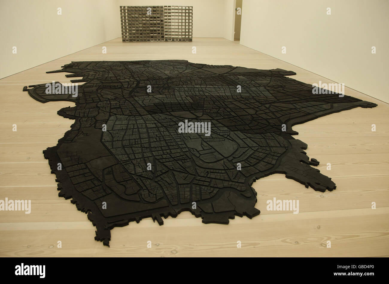 Beirut Caoutchouc, a large black rubber mat in the shape of Beirut's current map, by artist Marwan Rechmaoui at the Saatchi Gallery in London which forms part of the gallery's exhibition Unveiled: New Art From the Middle East. Stock Photohttps://www.alamy.com/image-license-details/?v=1https://www.alamy.com/stock-photo-beirut-caoutchouc-a-large-black-rubber-mat-in-the-shape-of-beiruts-110312552.html
RMGBD4P0–Beirut Caoutchouc, a large black rubber mat in the shape of Beirut's current map, by artist Marwan Rechmaoui at the Saatchi Gallery in London which forms part of the gallery's exhibition Unveiled: New Art From the Middle East.
 Piri Reis - Map of the Eastern Mediterranean Coast as Far as the City of Beirut - Walters W658316A - Full Page Stock Photohttps://www.alamy.com/image-license-details/?v=1https://www.alamy.com/stock-image-piri-reis-map-of-the-eastern-mediterranean-coast-as-far-as-the-city-165981161.html
RMKJ12JH–Piri Reis - Map of the Eastern Mediterranean Coast as Far as the City of Beirut - Walters W658316A - Full Page
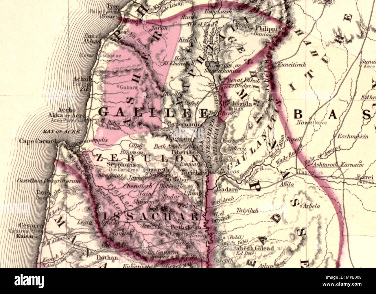 Johnson's Palestine. English: A beautiful example of A. J. Johnson’s 1862 map of Palestine / Israel / Holy Land. Details the region from Beirut south to Busaireh and Kadesh Barnea. Extends eastward as far as Mount Alsadamus in modern day Syria. Offers both contemporary and ancient geography, often noting multiple names for the same political and geographical features. Also shows numerous roadways and caravan routes throughout the region. An inset in the lower left hand quadrant details the Jerusalem with 10 important churches, biblical sites, and mosques noted. An engraved view of Damascus de Stock Photohttps://www.alamy.com/image-license-details/?v=1https://www.alamy.com/johnsons-palestine-english-a-beautiful-example-of-a-j-johnsons-1862-map-of-palestine-israel-holy-land-details-the-region-from-beirut-south-to-busaireh-and-kadesh-barnea-extends-eastward-as-far-as-mount-alsadamus-in-modern-day-syria-offers-both-contemporary-and-ancient-geography-often-noting-multiple-names-for-the-same-political-and-geographical-features-also-shows-numerous-roadways-and-caravan-routes-throughout-the-region-an-inset-in-the-lower-left-hand-quadrant-details-the-jerusalem-with-10-important-churches-biblical-sites-and-mosques-noted-an-engraved-view-of-damascus-de-image185867592.html
RMMPB008–Johnson's Palestine. English: A beautiful example of A. J. Johnson’s 1862 map of Palestine / Israel / Holy Land. Details the region from Beirut south to Busaireh and Kadesh Barnea. Extends eastward as far as Mount Alsadamus in modern day Syria. Offers both contemporary and ancient geography, often noting multiple names for the same political and geographical features. Also shows numerous roadways and caravan routes throughout the region. An inset in the lower left hand quadrant details the Jerusalem with 10 important churches, biblical sites, and mosques noted. An engraved view of Damascus de
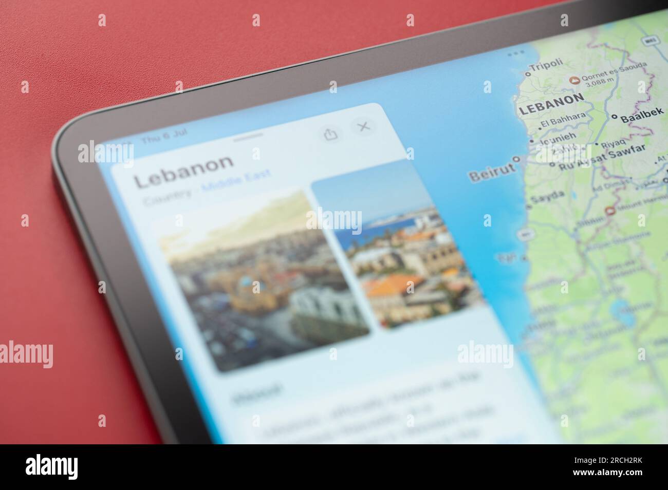 New York, USA - July 6, 2023: Boarder line on Lebanon country with info on world apple map ipad macro close up view Stock Photohttps://www.alamy.com/image-license-details/?v=1https://www.alamy.com/new-york-usa-july-6-2023-boarder-line-on-lebanon-country-with-info-on-world-apple-map-ipad-macro-close-up-view-image558483063.html
RF2RCH2RK–New York, USA - July 6, 2023: Boarder line on Lebanon country with info on world apple map ipad macro close up view
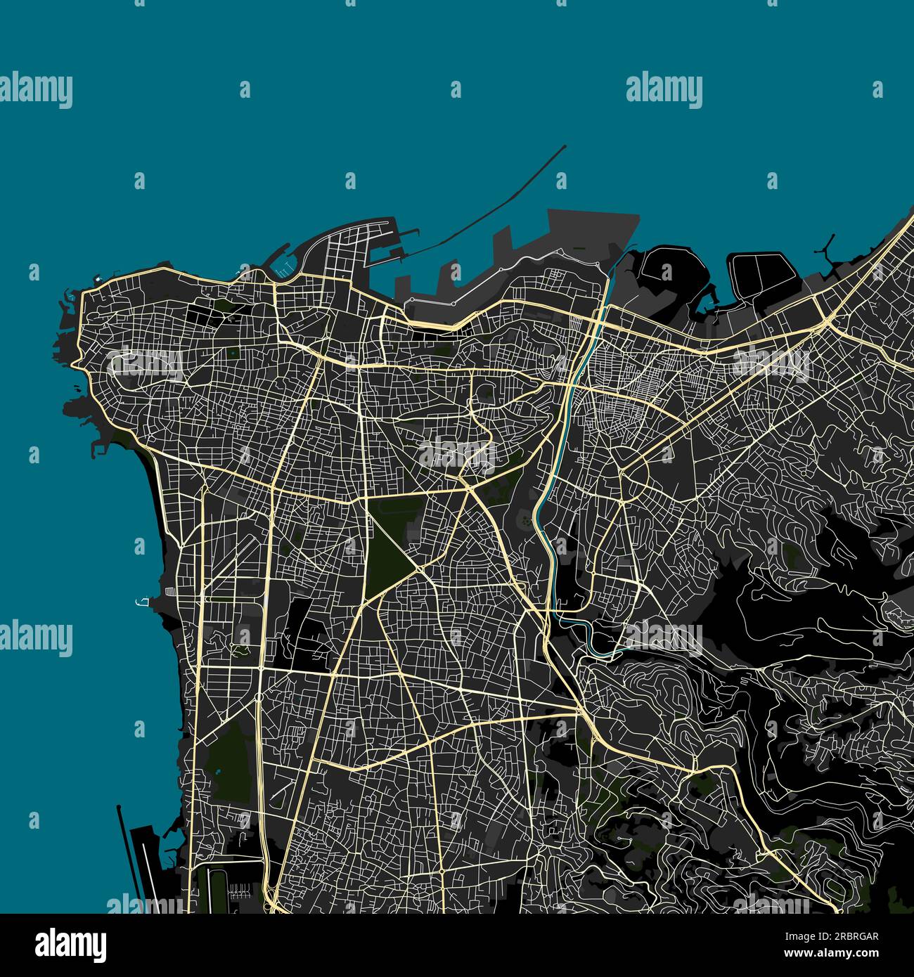 Vector Map of Beirut Lebanon data from Openstreetmap Stock Vectorhttps://www.alamy.com/image-license-details/?v=1https://www.alamy.com/vector-map-of-beirut-lebanon-data-from-openstreetmap-image558010735.html
RF2RBRGAR–Vector Map of Beirut Lebanon data from Openstreetmap
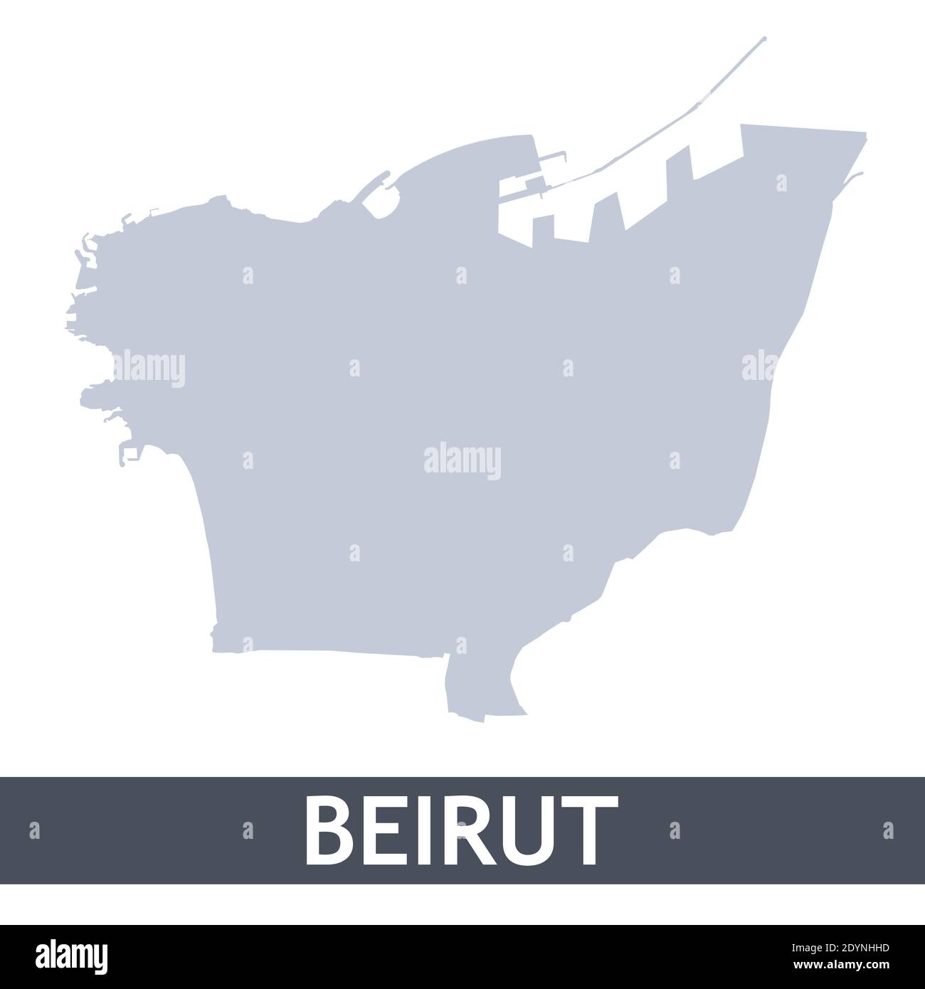 Beirut outline map. Vector map of Beirut city area within its borders. Grey with shadow on white background. Isolated illustration. Stock Vectorhttps://www.alamy.com/image-license-details/?v=1https://www.alamy.com/beirut-outline-map-vector-map-of-beirut-city-area-within-its-borders-grey-with-shadow-on-white-background-isolated-illustration-image395698617.html
RF2DYNHHD–Beirut outline map. Vector map of Beirut city area within its borders. Grey with shadow on white background. Isolated illustration.
 Map of Beirut in Lebanon in a smooth dark style. Contains layered vector with roads water, parks, etc. Stock Vectorhttps://www.alamy.com/image-license-details/?v=1https://www.alamy.com/map-of-beirut-in-lebanon-in-a-smooth-dark-style-contains-layered-vector-with-roads-water-parks-etc-image624219173.html
RF2Y7FHWW–Map of Beirut in Lebanon in a smooth dark style. Contains layered vector with roads water, parks, etc.
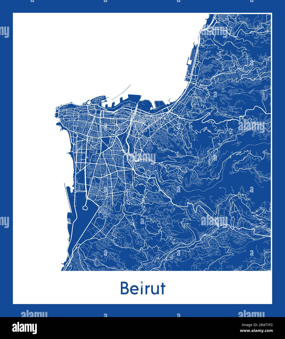 Beirut Lebanon Asia City map blue print vector illustration Stock Vectorhttps://www.alamy.com/image-license-details/?v=1https://www.alamy.com/beirut-lebanon-asia-city-map-blue-print-vector-illustration-image557426774.html
RF2RATYF2–Beirut Lebanon Asia City map blue print vector illustration
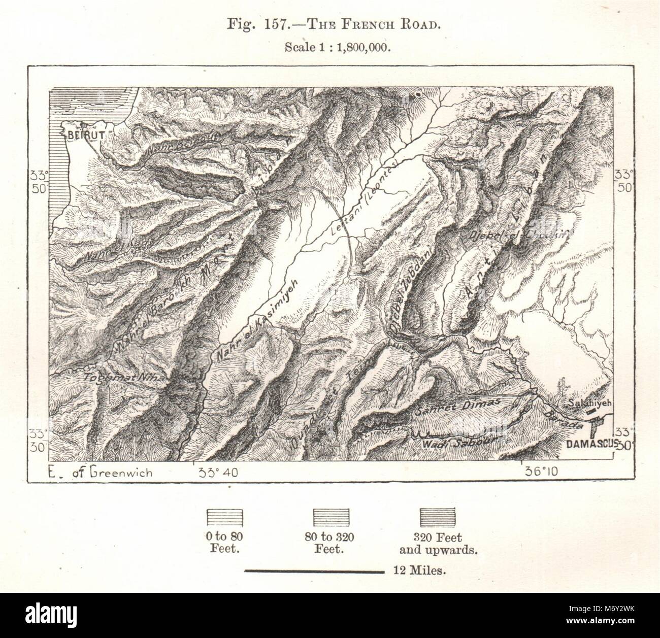 The French Road. Beirut - Damascus. Lebanon. Sketch map 1885 old antique Stock Photohttps://www.alamy.com/image-license-details/?v=1https://www.alamy.com/stock-photo-the-french-road-beirut-damascus-lebanon-sketch-map-1885-old-antique-176386607.html
RFM6Y2WK–The French Road. Beirut - Damascus. Lebanon. Sketch map 1885 old antique
 Lebanon administrative and political vector map with flag Stock Vectorhttps://www.alamy.com/image-license-details/?v=1https://www.alamy.com/stock-photo-lebanon-administrative-and-political-vector-map-with-flag-174278188.html
RFM3F1H0–Lebanon administrative and political vector map with flag
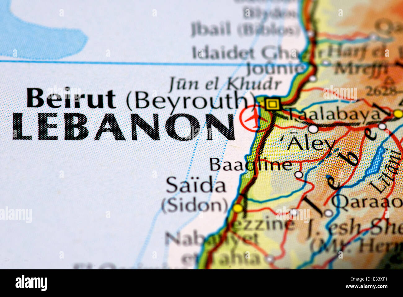 Close up map of Beirut and the Lebanon Stock Photohttps://www.alamy.com/image-license-details/?v=1https://www.alamy.com/stock-photo-close-up-map-of-beirut-and-the-lebanon-73845381.html
RME83XF1–Close up map of Beirut and the Lebanon
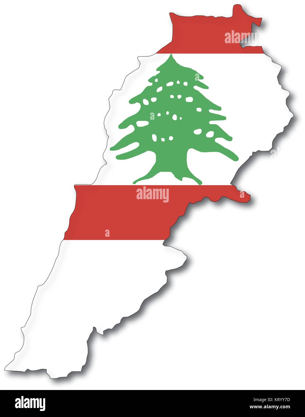 vectorflag map of lebanon, outline drawing with shadow Stock Vectorhttps://www.alamy.com/image-license-details/?v=1https://www.alamy.com/stock-image-vectorflag-map-of-lebanon-outline-drawing-with-shadow-169644481.html
RFKRYY7D–vectorflag map of lebanon, outline drawing with shadow
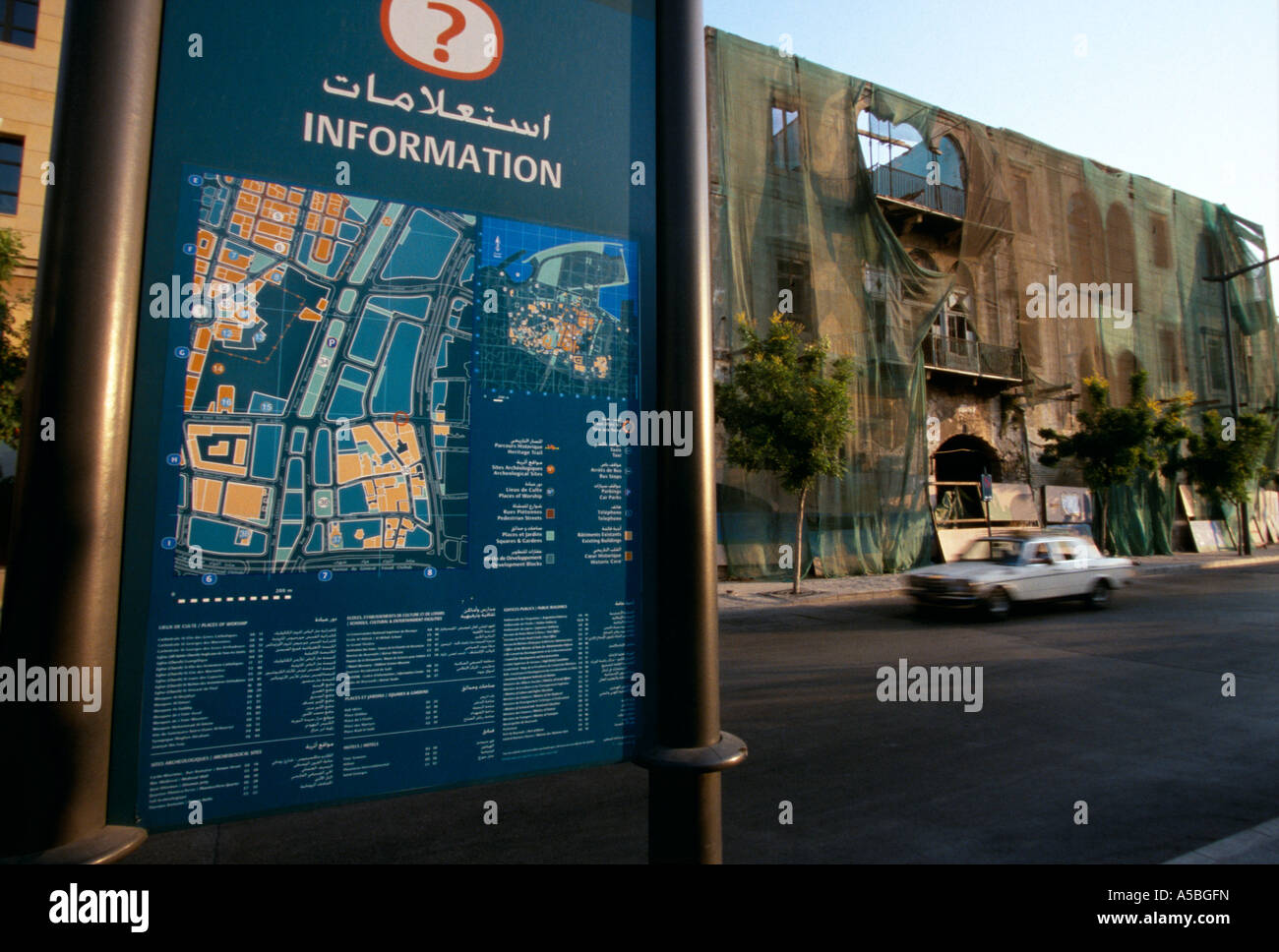 A tourist information sign Beirut Stock Photohttps://www.alamy.com/image-license-details/?v=1https://www.alamy.com/stock-photo-a-tourist-information-sign-beirut-11260664.html
RMA5BGFN–A tourist information sign Beirut
 Lebanon logo. Sign with the map of country and colored stripes, vector illustration. Stock Vectorhttps://www.alamy.com/image-license-details/?v=1https://www.alamy.com/lebanon-logo-sign-with-the-map-of-country-and-colored-stripes-vector-illustration-image563388073.html
RF2RMGF6H–Lebanon logo. Sign with the map of country and colored stripes, vector illustration.
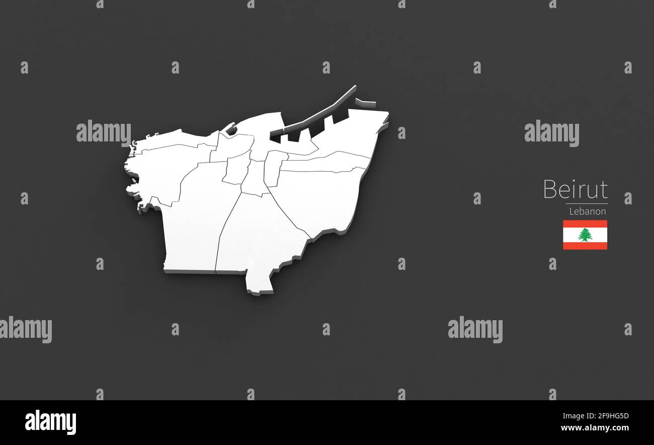 Beirut City Map. 3D Map Series of Cities in lebanon. Stock Photohttps://www.alamy.com/image-license-details/?v=1https://www.alamy.com/beirut-city-map-3d-map-series-of-cities-in-lebanon-image418966617.html
RF2F9HG5D–Beirut City Map. 3D Map Series of Cities in lebanon.
 Pray for Beirut simple web banner, background with flag and map and pray gesture . One continuous line drawing with lettering Beirut Stock Vectorhttps://www.alamy.com/image-license-details/?v=1https://www.alamy.com/pray-for-beirut-simple-web-banner-background-with-flag-and-map-and-pray-gesture-one-continuous-line-drawing-with-lettering-beirut-image367816015.html
RF2CABD27–Pray for Beirut simple web banner, background with flag and map and pray gesture . One continuous line drawing with lettering Beirut
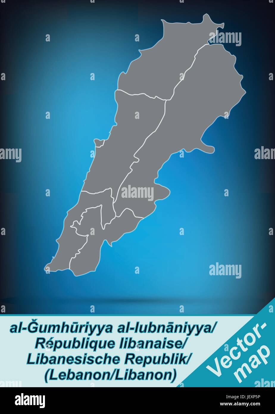 border map of lebanon with borders in bright gray Stock Vectorhttps://www.alamy.com/image-license-details/?v=1https://www.alamy.com/stock-photo-border-map-of-lebanon-with-borders-in-bright-gray-146876290.html
RFJEXP5P–border map of lebanon with borders in bright gray
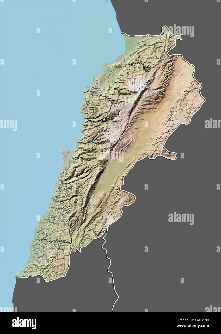 Lebanon, Relief Map With Border and Mask Stock Photohttps://www.alamy.com/image-license-details/?v=1https://www.alamy.com/stock-photo-lebanon-relief-map-with-border-and-mask-71601766.html
RME4DMNX–Lebanon, Relief Map With Border and Mask
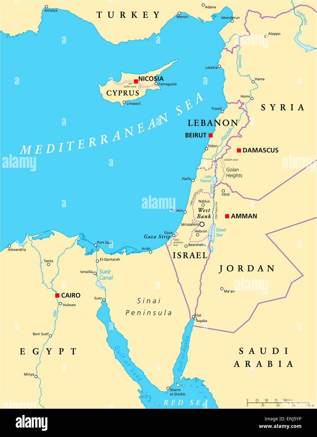 Eastern Mediterranean Political Map Stock Photohttps://www.alamy.com/image-license-details/?v=1https://www.alamy.com/stock-photo-eastern-mediterranean-political-map-82149082.html
RFENJ5YP–Eastern Mediterranean Political Map
 Lebanon set of three maps - solid map, outline map and map highlighting administrative divisions. Three distinct maps illustrate various representations of a geographical area. Stock Vectorhttps://www.alamy.com/image-license-details/?v=1https://www.alamy.com/lebanon-set-of-three-maps-solid-map-outline-map-and-map-highlighting-administrative-divisions-three-distinct-maps-illustrate-various-representations-of-a-geographical-area-image637672601.html
RF2S1CDWD–Lebanon set of three maps - solid map, outline map and map highlighting administrative divisions. Three distinct maps illustrate various representations of a geographical area.
 This map, created by Joseph Roux in 1804, illustrates the port and coastline north of Beirut. The map provides a historical overview of the region’s geography and maritime routes, essential for understanding its trade and strategic importance. Stock Photohttps://www.alamy.com/image-license-details/?v=1https://www.alamy.com/stock-image-this-map-created-by-joseph-roux-in-1804-illustrates-the-port-and-coastline-163705221.html
RMKE9BK1–This map, created by Joseph Roux in 1804, illustrates the port and coastline north of Beirut. The map provides a historical overview of the region’s geography and maritime routes, essential for understanding its trade and strategic importance.
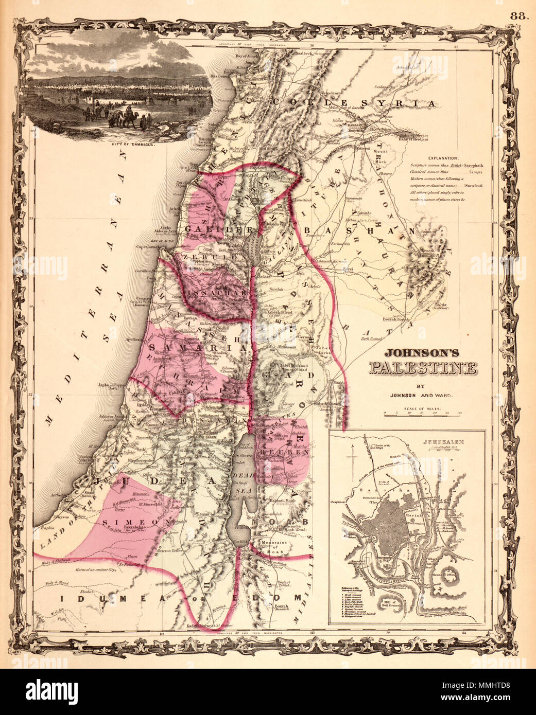 . English: A beautiful example of A. J. Johnson’s 1862 map of Palestine / Israel / Holy Land. Details the region from Beirut south to Busaireh and Kadesh Barnea. Extends eastward as far as Mount Alsadamus in modern day Syria. Offers both contemporary and ancient geography, often noting multiple names for the same political and geographical features. Also shows numerous roadways and caravan routes throughout the region. An inset in the lower left hand quadrant details the Jerusalem with 10 important churches, biblical sites, and mosques noted. An engraved view of Damascus decorates the upper l Stock Photohttps://www.alamy.com/image-license-details/?v=1https://www.alamy.com/english-a-beautiful-example-of-a-j-johnsons-1862-map-of-palestine-israel-holy-land-details-the-region-from-beirut-south-to-busaireh-and-kadesh-barnea-extends-eastward-as-far-as-mount-alsadamus-in-modern-day-syria-offers-both-contemporary-and-ancient-geography-often-noting-multiple-names-for-the-same-political-and-geographical-features-also-shows-numerous-roadways-and-caravan-routes-throughout-the-region-an-inset-in-the-lower-left-hand-quadrant-details-the-jerusalem-with-10-important-churches-biblical-sites-and-mosques-noted-an-engraved-view-of-damascus-decorates-the-upper-l-image184789172.html
RMMMHTD8–. English: A beautiful example of A. J. Johnson’s 1862 map of Palestine / Israel / Holy Land. Details the region from Beirut south to Busaireh and Kadesh Barnea. Extends eastward as far as Mount Alsadamus in modern day Syria. Offers both contemporary and ancient geography, often noting multiple names for the same political and geographical features. Also shows numerous roadways and caravan routes throughout the region. An inset in the lower left hand quadrant details the Jerusalem with 10 important churches, biblical sites, and mosques noted. An engraved view of Damascus decorates the upper l
 Beirut, the capital city of Lebanon, and its metropolitan area with a population of 2.2 million, is pictured on the coast of the Mediterranean Sea as seen from the International Space Station orbiting 252 miles above the port city December 3, 2019 in Earth Orbit. Stock Photohttps://www.alamy.com/image-license-details/?v=1https://www.alamy.com/beirut-the-capital-city-of-lebanon-and-its-metropolitan-area-with-a-population-of-22-million-is-pictured-on-the-coast-of-the-mediterranean-sea-as-seen-from-the-international-space-station-orbiting-252-miles-above-the-port-city-december-3-2019-in-earth-orbit-image336102788.html
RM2AEPPF0–Beirut, the capital city of Lebanon, and its metropolitan area with a population of 2.2 million, is pictured on the coast of the Mediterranean Sea as seen from the International Space Station orbiting 252 miles above the port city December 3, 2019 in Earth Orbit.
 Map of Lebanon with Major Cities and Neighboring Countries Stock Photohttps://www.alamy.com/image-license-details/?v=1https://www.alamy.com/map-of-lebanon-with-major-cities-and-neighboring-countries-image658865213.html
RF3A7WW8D–Map of Lebanon with Major Cities and Neighboring Countries
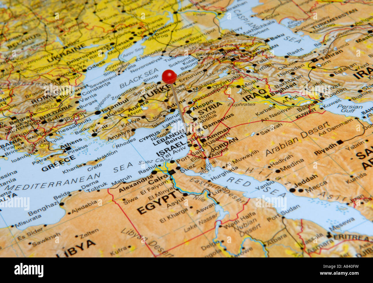 Israel Stock Photohttps://www.alamy.com/image-license-details/?v=1https://www.alamy.com/stock-photo-israel-11979708.html
RFA840FW–Israel
 Beirut Lebanon City Map in Retro Style. Vector Illustration. Outline Map. Stock Vectorhttps://www.alamy.com/image-license-details/?v=1https://www.alamy.com/stock-photo-beirut-lebanon-city-map-in-retro-style-vector-illustration-outline-170363415.html
RFKW4M7K–Beirut Lebanon City Map in Retro Style. Vector Illustration. Outline Map.
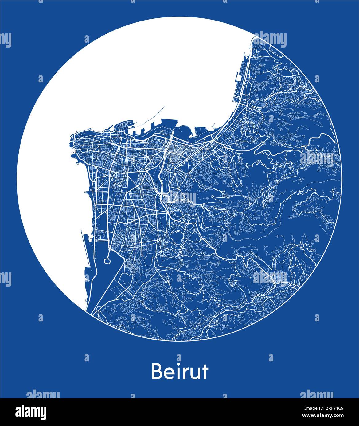 City Map Beirut Lebanon Asia blue print round Circle vector illustration Stock Vectorhttps://www.alamy.com/image-license-details/?v=1https://www.alamy.com/city-map-beirut-lebanon-asia-blue-print-round-circle-vector-illustration-image560547913.html
RF2RFY4G9–City Map Beirut Lebanon Asia blue print round Circle vector illustration
 LEBANON. Beirut, sketch map c1885 old antique vintage plan chart Stock Photohttps://www.alamy.com/image-license-details/?v=1https://www.alamy.com/lebanon-beirut-sketch-map-c1885-old-antique-vintage-plan-chart-image184803882.html
RFMMJF6J–LEBANON. Beirut, sketch map c1885 old antique vintage plan chart
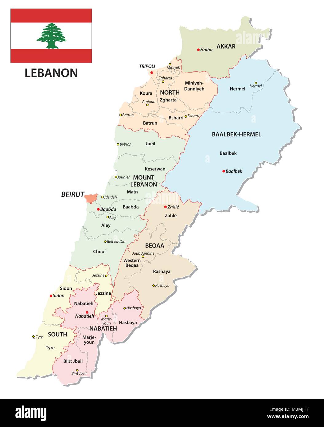 Detailed Lebanon administrative and political vector map with flag Stock Vectorhttps://www.alamy.com/image-license-details/?v=1https://www.alamy.com/stock-photo-detailed-lebanon-administrative-and-political-vector-map-with-flag-174401291.html
RFM3MJHF–Detailed Lebanon administrative and political vector map with flag
 Abstract vector color map of Lebanon Stock Vectorhttps://www.alamy.com/image-license-details/?v=1https://www.alamy.com/stock-photo-abstract-vector-color-map-of-lebanon-107801631.html
RFG7AP27–Abstract vector color map of Lebanon
 Lebanon outlined on a high resolution satellite map Stock Photohttps://www.alamy.com/image-license-details/?v=1https://www.alamy.com/lebanon-outlined-on-a-high-resolution-satellite-map-image591535165.html
RF2WAAN3W–Lebanon outlined on a high resolution satellite map
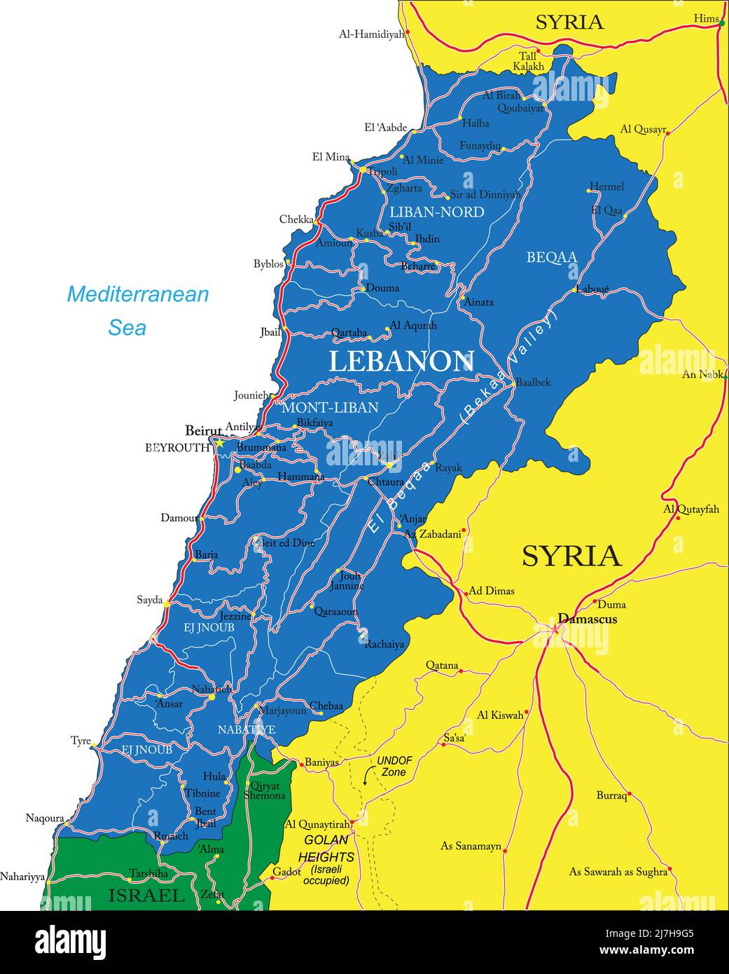 Highly detailed vector map of Lebanon with administrative regions, main cities and roads. Stock Vectorhttps://www.alamy.com/image-license-details/?v=1https://www.alamy.com/highly-detailed-vector-map-of-lebanon-with-administrative-regions-main-cities-and-roads-image469363221.html
RF2J7H9G5–Highly detailed vector map of Lebanon with administrative regions, main cities and roads.
 Lebanon stamp. Travel red rubber stamp with the map of country, vector illustration. Stock Vectorhttps://www.alamy.com/image-license-details/?v=1https://www.alamy.com/lebanon-stamp-travel-red-rubber-stamp-with-the-map-of-country-vector-illustration-image562212326.html
RF2RJJYFJ–Lebanon stamp. Travel red rubber stamp with the map of country, vector illustration.
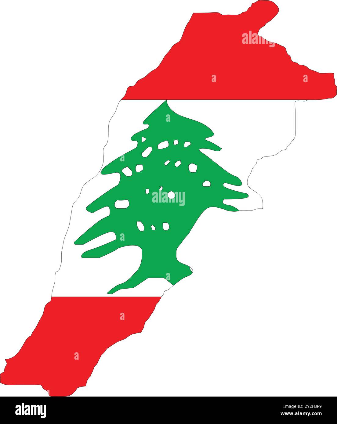 Lebanon Flag in Map, Lebanon Map with Flag, Map of Lebanon, Map with Flag, Nation Flag Lebanon Stock Vectorhttps://www.alamy.com/image-license-details/?v=1https://www.alamy.com/lebanon-flag-in-map-lebanon-map-with-flag-map-of-lebanon-map-with-flag-nation-flag-lebanon-image621141089.html
RF2Y2FBP9–Lebanon Flag in Map, Lebanon Map with Flag, Map of Lebanon, Map with Flag, Nation Flag Lebanon
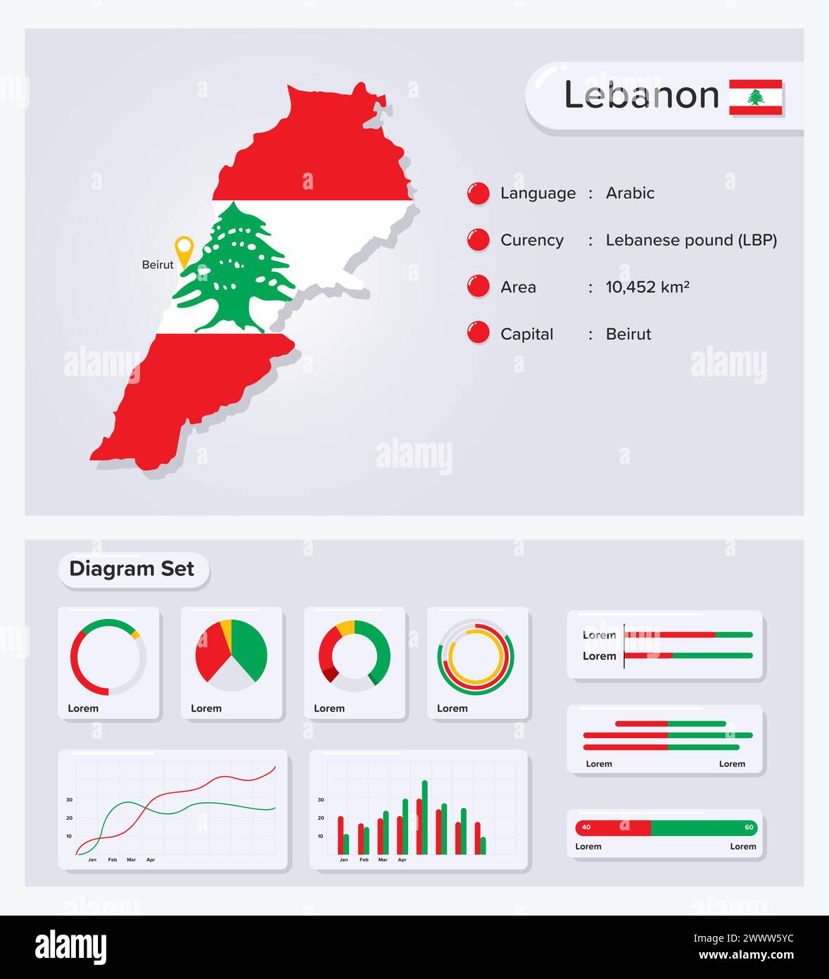 Lebanon Infographic Vector Illustration, Lebanon Statistical Data Element, Information Board With Flag Map, Lebanon Map Flag With Diagram Set Flat Des Stock Vectorhttps://www.alamy.com/image-license-details/?v=1https://www.alamy.com/lebanon-infographic-vector-illustration-lebanon-statistical-data-element-information-board-with-flag-map-lebanon-map-flag-with-diagram-set-flat-des-image601072400.html
RF2WWW5YC–Lebanon Infographic Vector Illustration, Lebanon Statistical Data Element, Information Board With Flag Map, Lebanon Map Flag With Diagram Set Flat Des
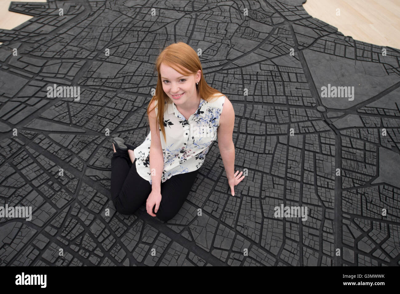 The Tate Modern, London UK. 14th June 2016. The world’s most popular gallery presents the new Switch House to the press, designed by architects Herzog & de Meuron, opening to the public on 17th June 2016 and increasing the overall space by 60%. Galleries within the existing Boiler House are also rehung for the official opening. A member of gallery staff sits on Beirut Caoutchouc by Marwan Rechmaoui, a floor based rubber map of the City of Beirut. Credit: Malcolm Park/Alamy Live News. Stock Photohttps://www.alamy.com/image-license-details/?v=1https://www.alamy.com/stock-photo-the-tate-modern-london-uk-14th-june-2016-the-worlds-most-popular-gallery-105565535.html
RMG3MWWK–The Tate Modern, London UK. 14th June 2016. The world’s most popular gallery presents the new Switch House to the press, designed by architects Herzog & de Meuron, opening to the public on 17th June 2016 and increasing the overall space by 60%. Galleries within the existing Boiler House are also rehung for the official opening. A member of gallery staff sits on Beirut Caoutchouc by Marwan Rechmaoui, a floor based rubber map of the City of Beirut. Credit: Malcolm Park/Alamy Live News.
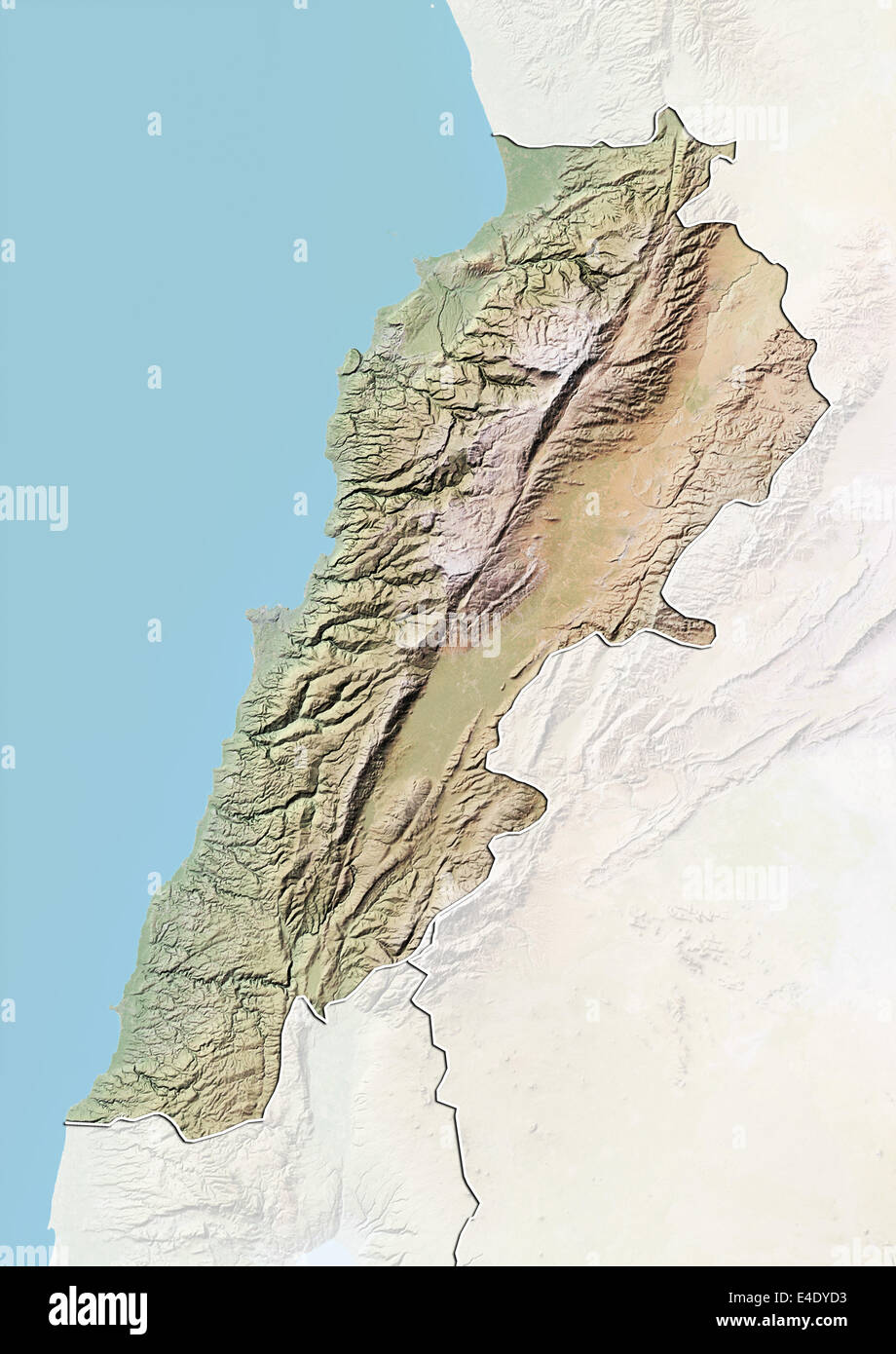 Lebanon, Relief Map With Border and Mask Stock Photohttps://www.alamy.com/image-license-details/?v=1https://www.alamy.com/stock-photo-lebanon-relief-map-with-border-and-mask-71607007.html
RME4DYD3–Lebanon, Relief Map With Border and Mask
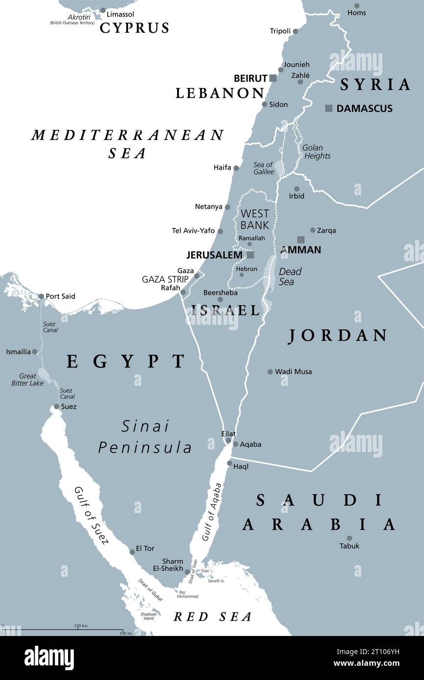 Israel and Sinai Peninsula, gray political map. Southern Levant, encompassing Israel, Palestine, Jordan, Lebanon, southern Syria and the Sinai. Stock Photohttps://www.alamy.com/image-license-details/?v=1https://www.alamy.com/israel-and-sinai-peninsula-gray-political-map-southern-levant-encompassing-israel-palestine-jordan-lebanon-southern-syria-and-the-sinai-image568562277.html
RF2T106YH–Israel and Sinai Peninsula, gray political map. Southern Levant, encompassing Israel, Palestine, Jordan, Lebanon, southern Syria and the Sinai.
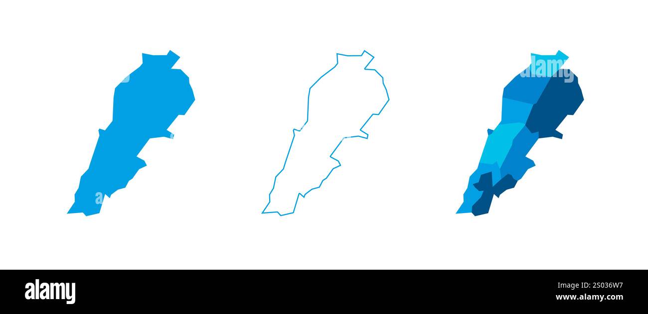 Lebanon set of three maps - solid map, outline map and map highlighting administrative divisions. Three distinct maps illustrate various representations of a geographical area. Stock Vectorhttps://www.alamy.com/image-license-details/?v=1https://www.alamy.com/lebanon-set-of-three-maps-solid-map-outline-map-and-map-highlighting-administrative-divisions-three-distinct-maps-illustrate-various-representations-of-a-geographical-area-image636854883.html
RF2S036W7–Lebanon set of three maps - solid map, outline map and map highlighting administrative divisions. Three distinct maps illustrate various representations of a geographical area.
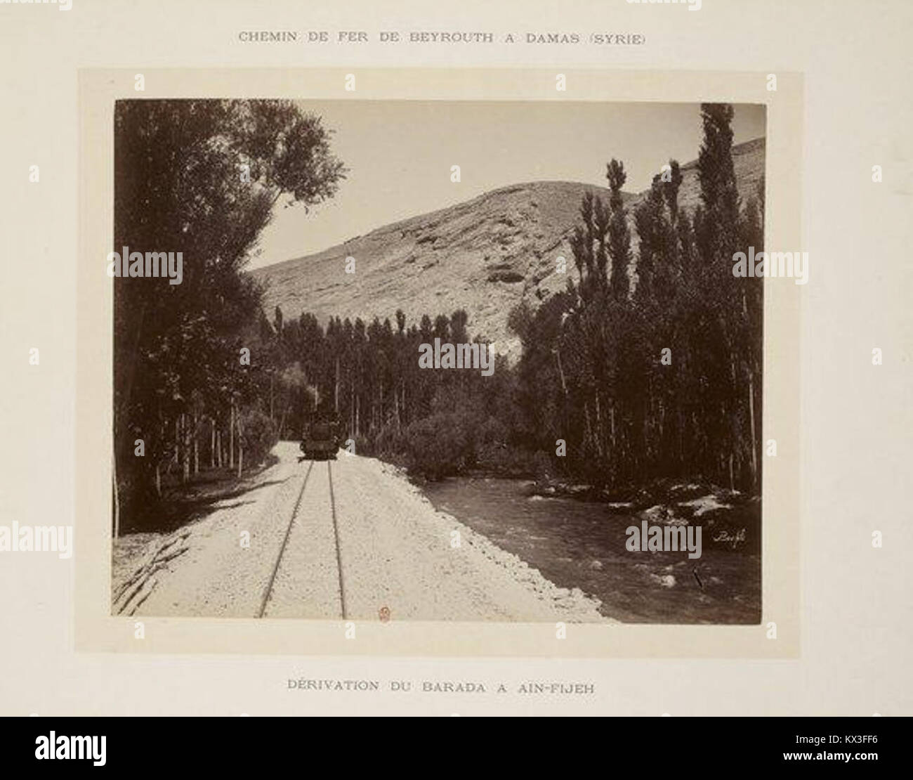 A historical map or document detailing the derivation of the Barada River from Ain-Fijeh, tracing its course from Beirut to Damascus. Stock Photohttps://www.alamy.com/image-license-details/?v=1https://www.alamy.com/stock-photo-a-historical-map-or-document-detailing-the-derivation-of-the-barada-170952410.html
RMKX3FF6–A historical map or document detailing the derivation of the Barada River from Ain-Fijeh, tracing its course from Beirut to Damascus.
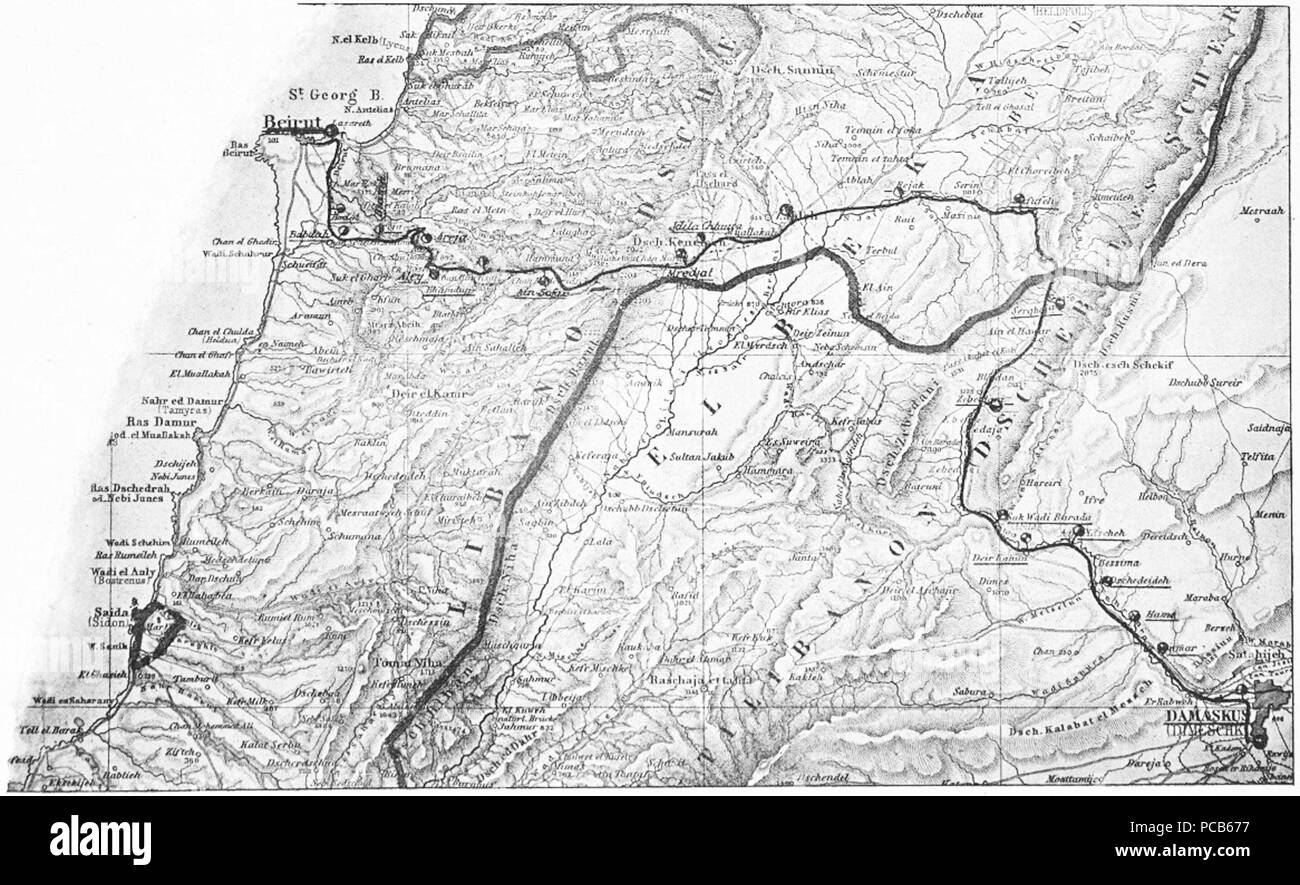 5 Beirut-Damaskus Streckenkarte Stock Photohttps://www.alamy.com/image-license-details/?v=1https://www.alamy.com/5-beirut-damaskus-streckenkarte-image214146667.html
RMPCB677–5 Beirut-Damaskus Streckenkarte
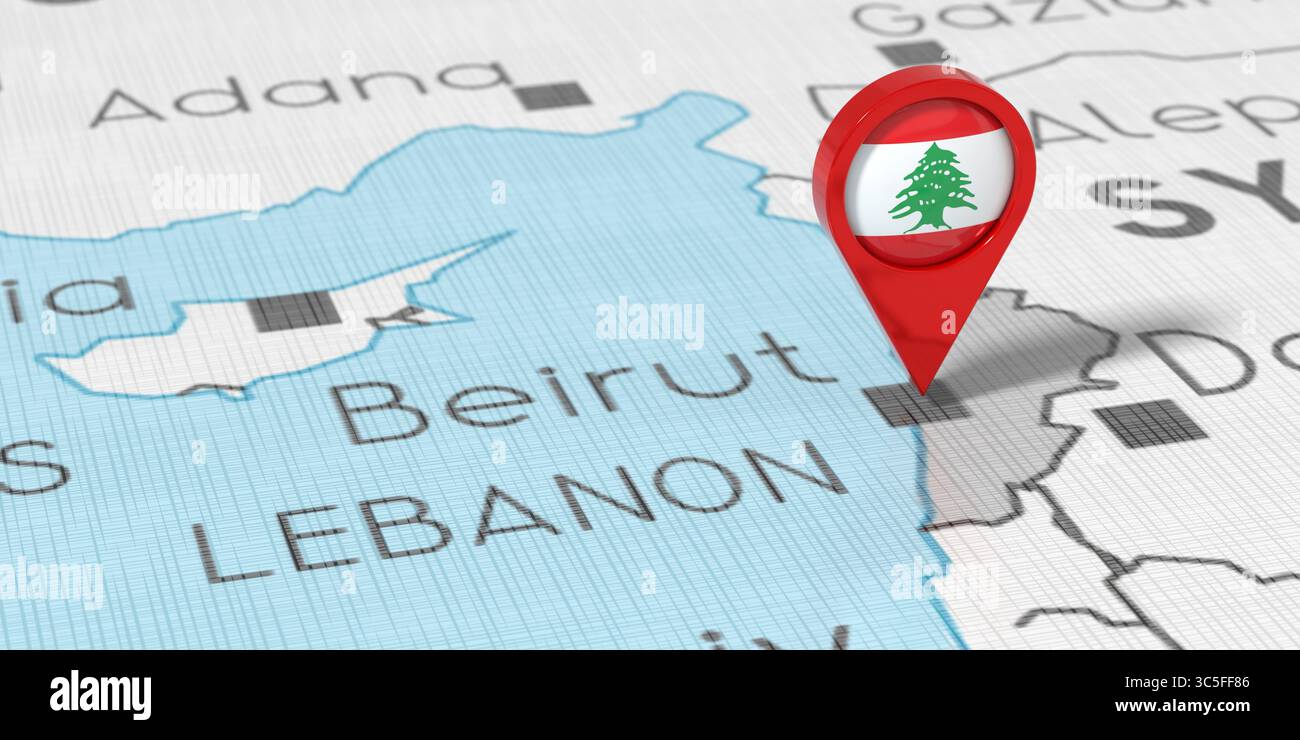 Lebanon, Beirut - location pin with national flag on political map - 3D illustration Stock Photohttps://www.alamy.com/image-license-details/?v=1https://www.alamy.com/lebanon-beirut-location-pin-with-national-flag-on-political-map-3d-illustration-image691829270.html
RF3C5FF86–Lebanon, Beirut - location pin with national flag on political map - 3D illustration
