Laguna del mapa Stock Photos and Images
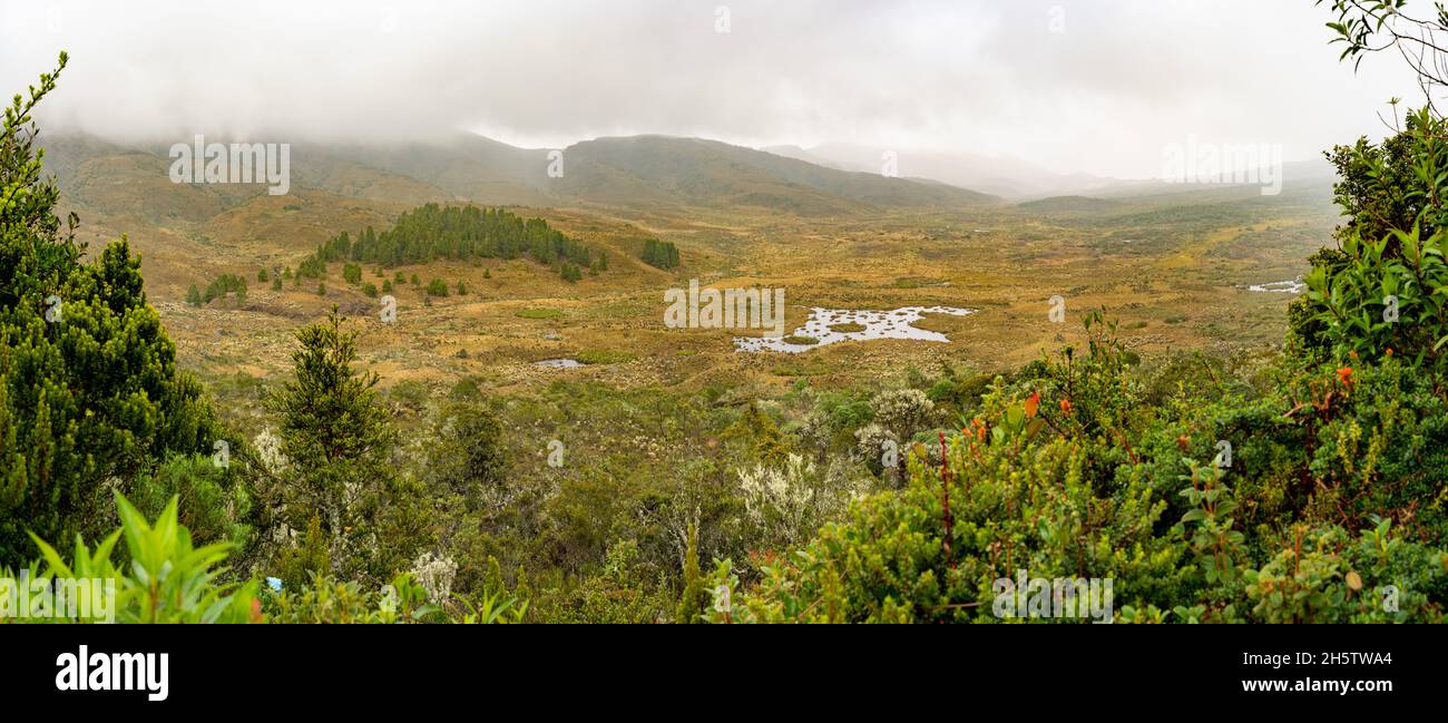
 Hike to Paramo de Guacheneque, birthplace of the Bogota River.The map Lagoon ( La laguna del Mapa) at Villapinzón, Cundinamarca, Colombia Stock Photohttps://www.alamy.com/image-license-details/?v=1https://www.alamy.com/hike-to-paramo-de-guacheneque-birthplace-of-the-bogota-riverthe-map-lagoon-la-laguna-del-mapa-at-villapinzn-cundinamarca-colombia-image451089580.html
RF2H5TWA4–Hike to Paramo de Guacheneque, birthplace of the Bogota River.The map Lagoon ( La laguna del Mapa) at Villapinzón, Cundinamarca, Colombia
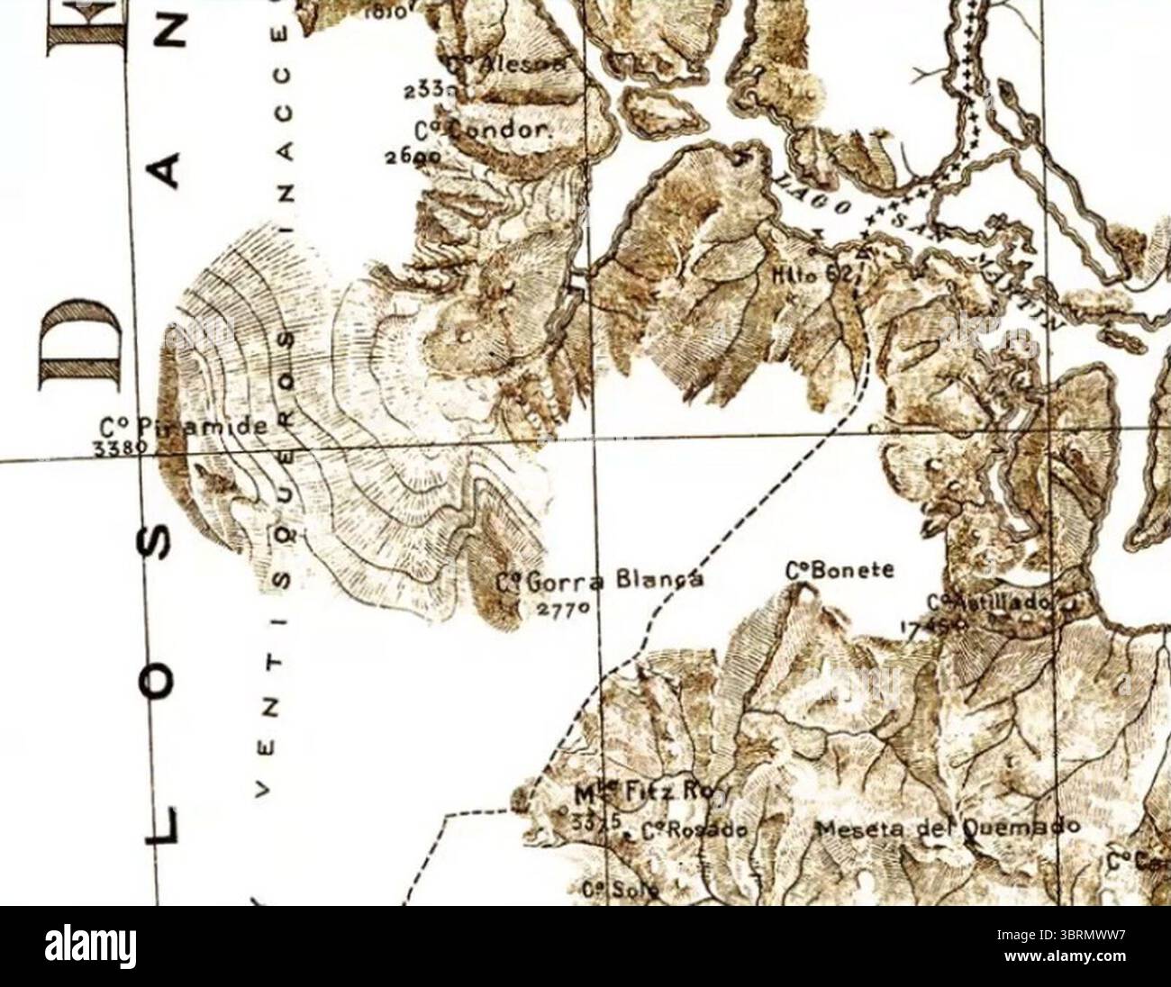
 Mapa del demarcador de 1903, hito 62 a Fitz Roy (Laguna del Desierto). Stock Photohttps://www.alamy.com/image-license-details/?v=1https://www.alamy.com/mapa-del-demarcador-de-1903-hito-62-a-fitz-roy-laguna-del-desierto-image685800787.html
RM3BRMWW7–Mapa del demarcador de 1903, hito 62 a Fitz Roy (Laguna del Desierto).
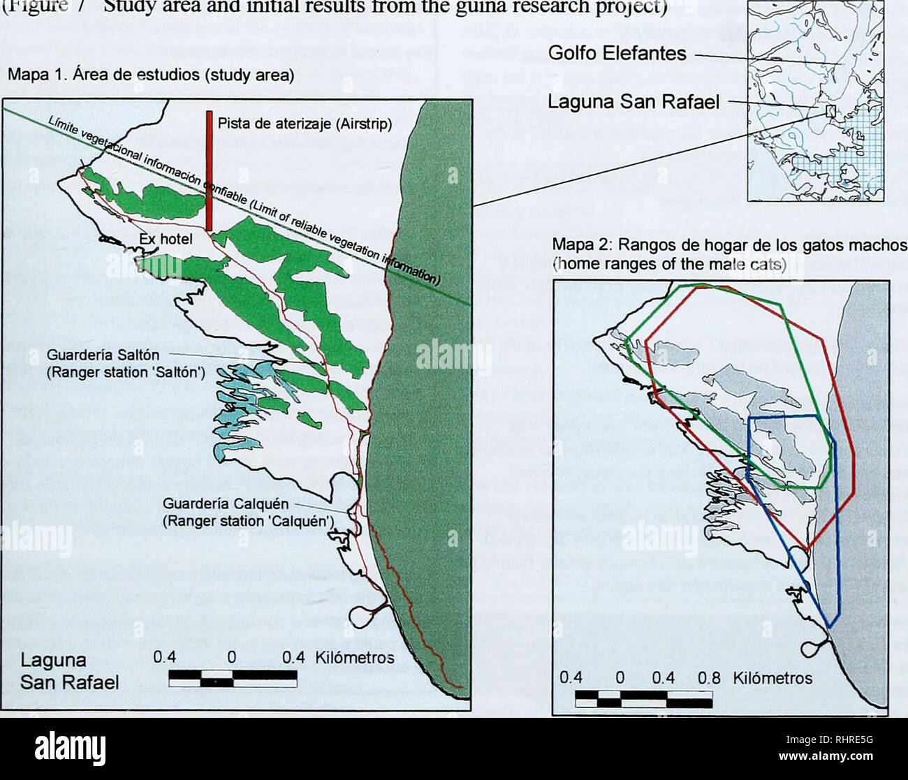
 . Biodiversity research in the Laguna San Rafael National Park: programme review and forward planning. Figura 7 Area de estudio del proyecto guina y resultados iniciales (Figure 7 Study area and initial results from the giiifia research project) Mapa 1. Area de estudlos (study area). Leyenda (Key) Ay Senderos {Trail system) I I Turtera (Salt marsh) â I Infraestructura (Infrastructure) I I Laguna San Rafael ^B Vegetadon mixta boscosa y arbustiva (Mixed forest and ltiicl<et vegetation) Iftssj Ladera pronunciada - bosque / artusto (Steep hillside - forest/thicket) I I Rango de guina #1 - macho Stock Photohttps://www.alamy.com/image-license-details/?v=1https://www.alamy.com/biodiversity-research-in-the-laguna-san-rafael-national-park-programme-review-and-forward-planning-figura-7-area-de-estudio-del-proyecto-guina-y-resultados-iniciales-figure-7-study-area-and-initial-results-from-the-giiifia-research-project-mapa-1-area-de-estudlos-study-area-leyenda-key-ay-senderos-trail-system-i-i-turtera-salt-marsh-i-infraestructura-infrastructure-i-i-laguna-san-rafael-b-vegetadon-mixta-boscosa-y-arbustiva-mixed-forest-and-ltiiclltet-vegetation-iftssj-ladera-pronunciada-bosque-artusto-steep-hillside-forestthicket-i-i-rango-de-guina-1-macho-image234699964.html
RMRHRE5G–. Biodiversity research in the Laguna San Rafael National Park: programme review and forward planning. Figura 7 Area de estudio del proyecto guina y resultados iniciales (Figure 7 Study area and initial results from the giiifia research project) Mapa 1. Area de estudlos (study area). Leyenda (Key) Ay Senderos {Trail system) I I Turtera (Salt marsh) â I Infraestructura (Infrastructure) I I Laguna San Rafael ^B Vegetadon mixta boscosa y arbustiva (Mixed forest and ltiicl<et vegetation) Iftssj Ladera pronunciada - bosque / artusto (Steep hillside - forest/thicket) I I Rango de guina #1 - macho
 Hike to Paramo de Guacheneque, birthplace of the Bogota River.The map Lagoon ( La laguna del Mapa) at Villapinzón, Cundinamarca, Colombia Stock Photohttps://www.alamy.com/image-license-details/?v=1https://www.alamy.com/hike-to-paramo-de-guacheneque-birthplace-of-the-bogota-riverthe-map-lagoon-la-laguna-del-mapa-at-villapinzn-cundinamarca-colombia-image451089895.html
RF2H5TWNB–Hike to Paramo de Guacheneque, birthplace of the Bogota River.The map Lagoon ( La laguna del Mapa) at Villapinzón, Cundinamarca, Colombia
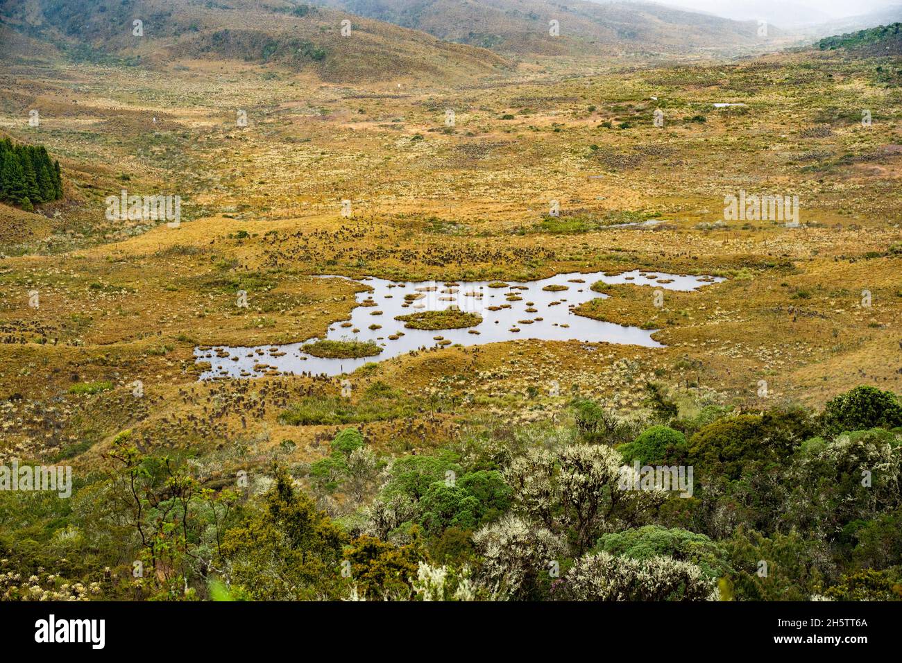
 Hike to Paramo de Guacheneque, birthplace of the Bogota River.The map Lagoon ( La laguna del Mapa) at Villapinzón, Cundinamarca, Colombia Stock Photohttps://www.alamy.com/image-license-details/?v=1https://www.alamy.com/hike-to-paramo-de-guacheneque-birthplace-of-the-bogota-riverthe-map-lagoon-la-laguna-del-mapa-at-villapinzn-cundinamarca-colombia-image451088690.html
RF2H5TT6A–Hike to Paramo de Guacheneque, birthplace of the Bogota River.The map Lagoon ( La laguna del Mapa) at Villapinzón, Cundinamarca, Colombia