Karnataka india asia map Cut Out Stock Images
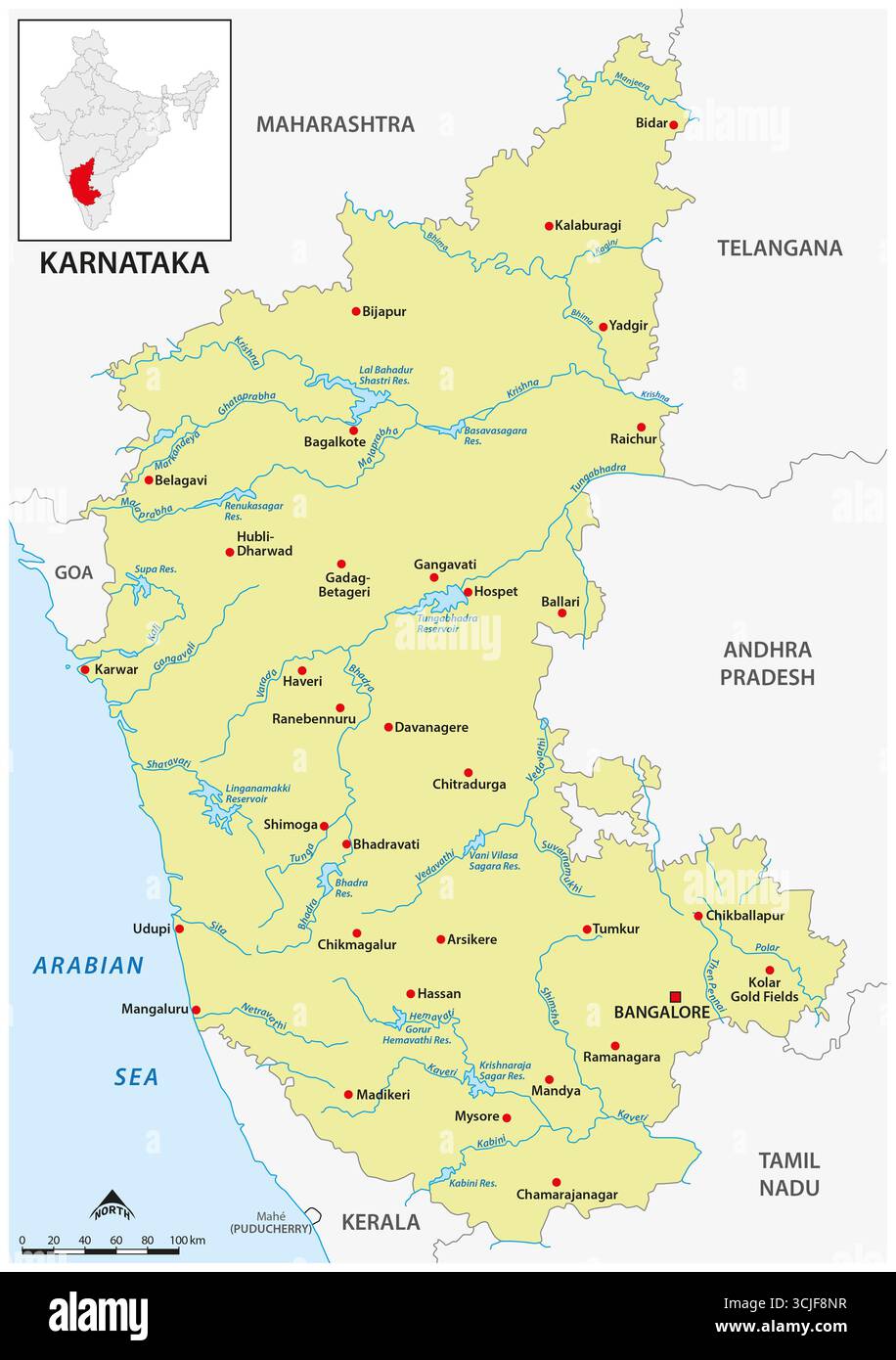 Map of the South Indian state of Karnataka Stock Photohttps://www.alamy.com/image-license-details/?v=1https://www.alamy.com/map-of-the-south-indian-state-of-karnataka-image699814691.html
RF3CJF8NR–Map of the South Indian state of Karnataka
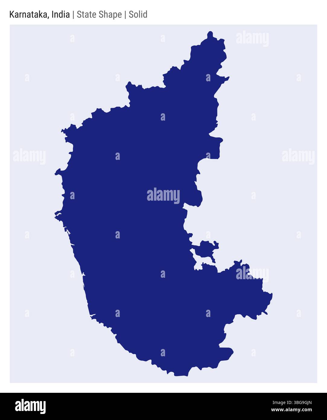 Karnataka, India. Simple vector map. State shape. Solid style. Border of Karnataka. Vector illustration. Stock Vectorhttps://www.alamy.com/image-license-details/?v=1https://www.alamy.com/karnataka-india-simple-vector-map-state-shape-solid-style-border-of-karnataka-vector-illustration-image681249485.html
RF3BG9GJN–Karnataka, India. Simple vector map. State shape. Solid style. Border of Karnataka. Vector illustration.
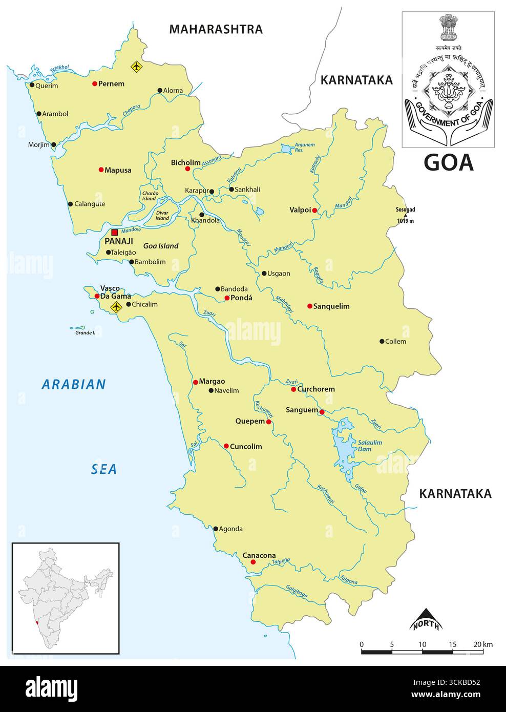 Map of the West Indian state of Goa Stock Photohttps://www.alamy.com/image-license-details/?v=1https://www.alamy.com/map-of-the-west-indian-state-of-goa-image700344990.html
RF3CKBD52–Map of the West Indian state of Goa
RF2XGTPKA–Karnataka State Map Vector Icon. India Karnataka Province State icon. Karnataka Map
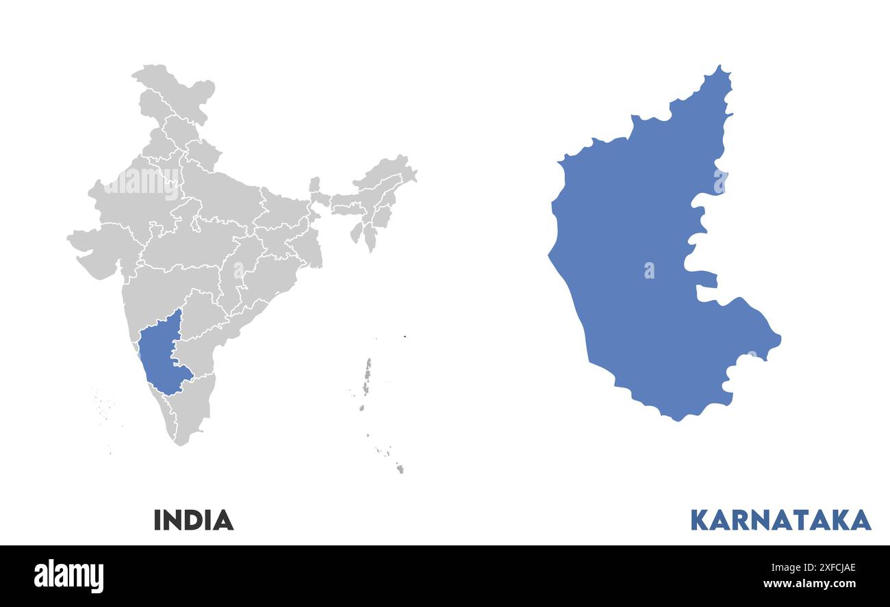 Karnataka Map1, State of India, Republic of India, government, Political map, modern map, Indian flag, vector illustration Stock Vectorhttps://www.alamy.com/image-license-details/?v=1https://www.alamy.com/karnataka-map1-state-of-india-republic-of-india-government-political-map-modern-map-indian-flag-vector-illustration-image611860550.html
RF2XFCJAE–Karnataka Map1, State of India, Republic of India, government, Political map, modern map, Indian flag, vector illustration
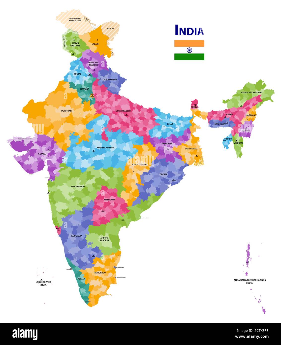 India high detailed vector map showing states and districts boundaries with states' names and capitals. Flag of India Stock Vectorhttps://www.alamy.com/image-license-details/?v=1https://www.alamy.com/india-high-detailed-vector-map-showing-states-and-districts-boundaries-with-states-names-and-capitals-flag-of-india-image376751631.html
RF2CTXEFB–India high detailed vector map showing states and districts boundaries with states' names and capitals. Flag of India
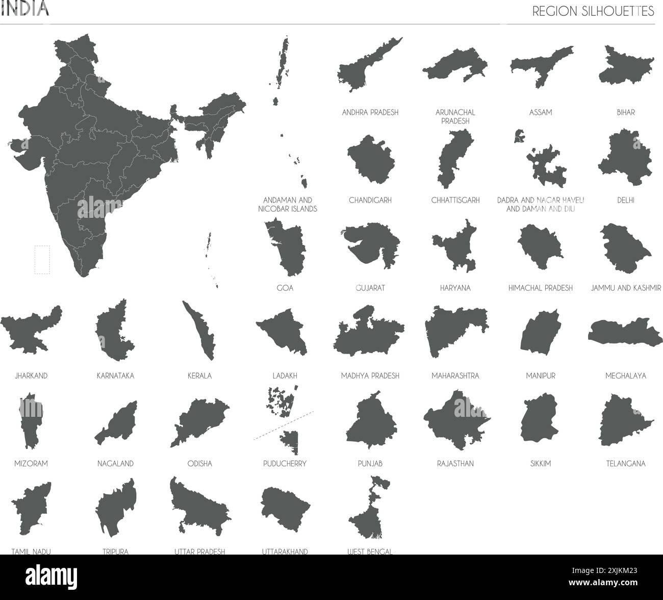 India region silhouettes set and blank map of the country isolated on white background. Vector illustration design Stock Vectorhttps://www.alamy.com/image-license-details/?v=1https://www.alamy.com/india-region-silhouettes-set-and-blank-map-of-the-country-isolated-on-white-background-vector-illustration-design-image613859515.html
RF2XJKM23–India region silhouettes set and blank map of the country isolated on white background. Vector illustration design
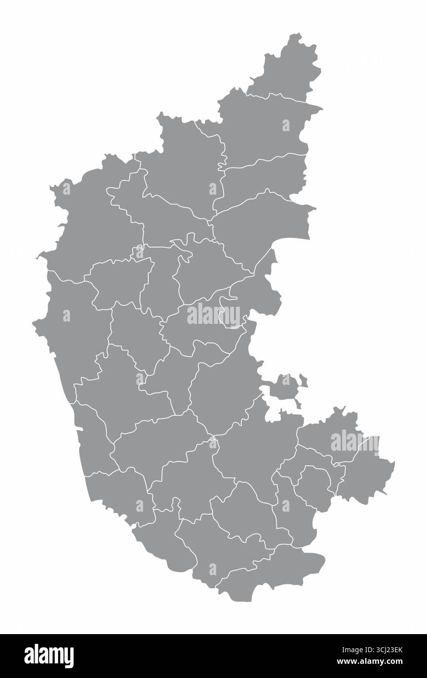 Karnataka administrative map isolated on white background, India Stock Vectorhttps://www.alamy.com/image-license-details/?v=1https://www.alamy.com/karnataka-administrative-map-isolated-on-white-background-india-image699525195.html
RF3CJ23EK–Karnataka administrative map isolated on white background, India
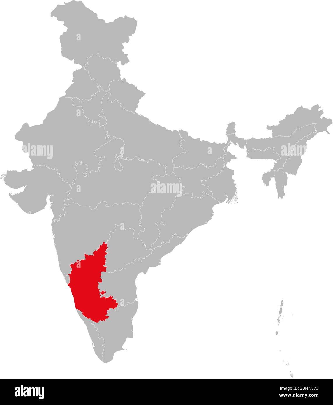 Karnataka map highlighted red color on india map vector illustration. Light gray background. Perfect for business concepts, backdrop, backgrounds, lab Stock Vectorhttps://www.alamy.com/image-license-details/?v=1https://www.alamy.com/karnataka-map-highlighted-red-color-on-india-map-vector-illustration-light-gray-background-perfect-for-business-concepts-backdrop-backgrounds-lab-image357583383.html
RF2BNN973–Karnataka map highlighted red color on india map vector illustration. Light gray background. Perfect for business concepts, backdrop, backgrounds, lab
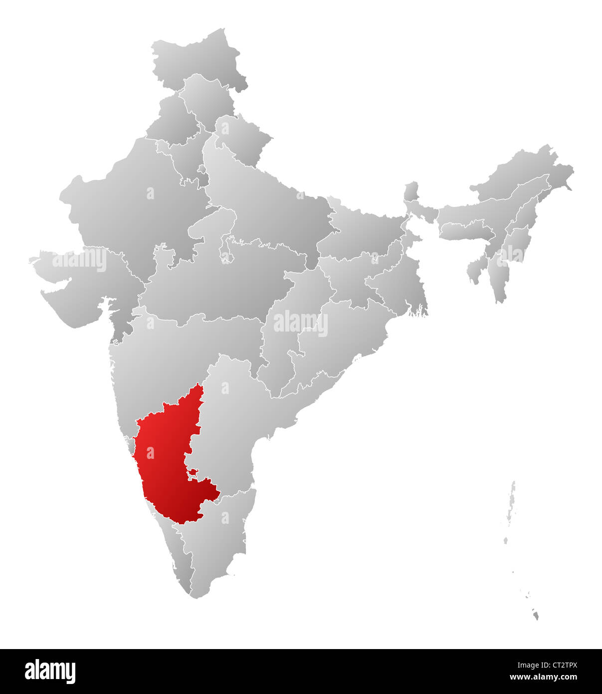 Political map of India with the several states where Karnataka is highlighted. Stock Photohttps://www.alamy.com/image-license-details/?v=1https://www.alamy.com/stock-photo-political-map-of-india-with-the-several-states-where-karnataka-is-49235842.html
RFCT2TPX–Political map of India with the several states where Karnataka is highlighted.
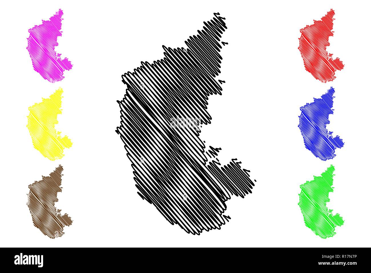 Karnataka (States and union territories of India, Federated states, Republic of India) map vector illustration, scribble sketch Karnataka state map Stock Vectorhttps://www.alamy.com/image-license-details/?v=1https://www.alamy.com/karnataka-states-and-union-territories-of-india-federated-states-republic-of-india-map-vector-illustration-scribble-sketch-karnataka-state-map-image224519786.html
RFR17N7P–Karnataka (States and union territories of India, Federated states, Republic of India) map vector illustration, scribble sketch Karnataka state map
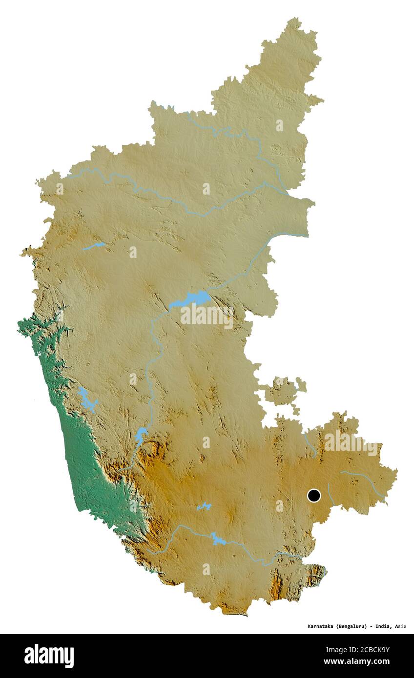 Shape of Karnataka, state of India, with its capital isolated on white background. Topographic relief map. 3D rendering Stock Photohttps://www.alamy.com/image-license-details/?v=1https://www.alamy.com/shape-of-karnataka-state-of-india-with-its-capital-isolated-on-white-background-topographic-relief-map-3d-rendering-image368457543.html
RF2CBCK9Y–Shape of Karnataka, state of India, with its capital isolated on white background. Topographic relief map. 3D rendering
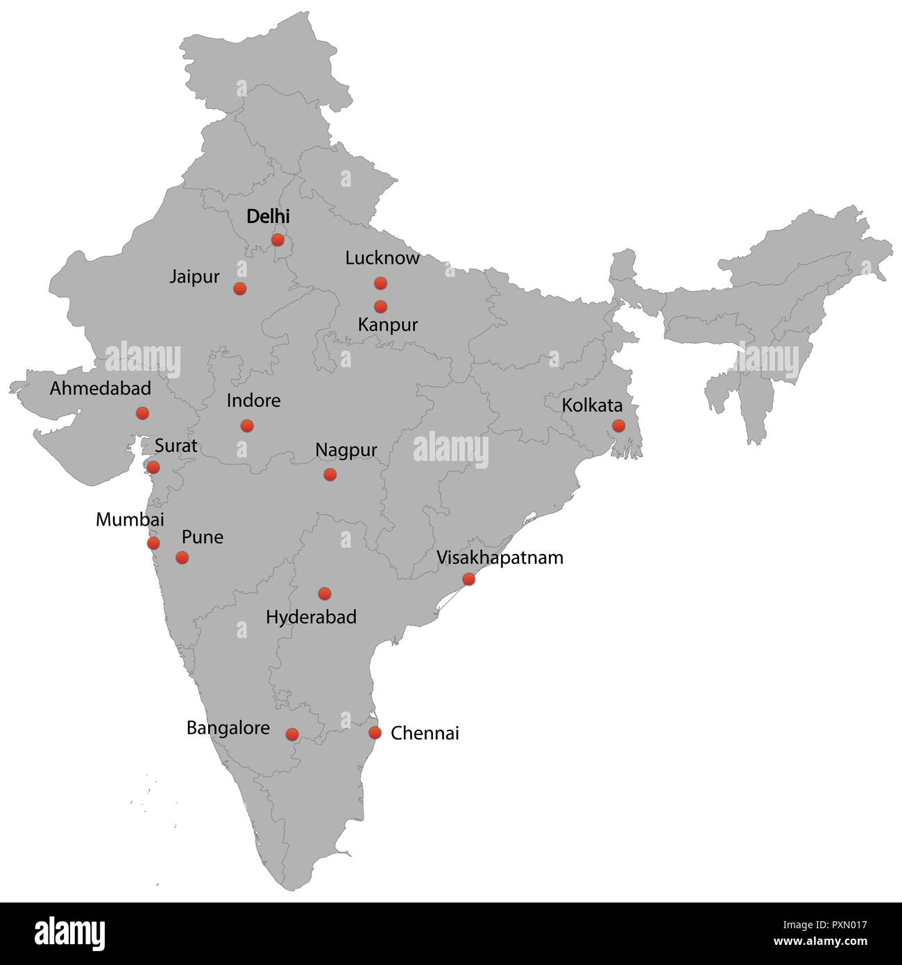 detailed map of the India with cities Stock Vectorhttps://www.alamy.com/image-license-details/?v=1https://www.alamy.com/detailed-map-of-the-india-with-cities-image222966499.html
RFPXN017–detailed map of the India with cities
RF2J787XY–India map graphic, travel geography icon, indian region KARNATAKA, vector illustration .
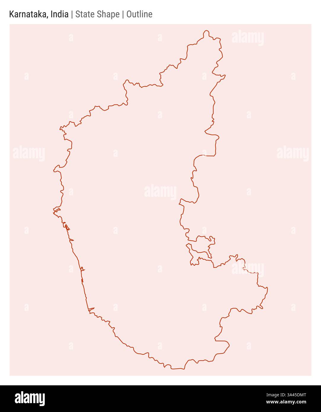 Karnataka, India. Simple vector map. State shape. Outline style. Border of Karnataka. Vector illustration. Stock Vectorhttps://www.alamy.com/image-license-details/?v=1https://www.alamy.com/karnataka-india-simple-vector-map-state-shape-outline-style-border-of-karnataka-vector-illustration-image656573144.html
RF3A45DMT–Karnataka, India. Simple vector map. State shape. Outline style. Border of Karnataka. Vector illustration.
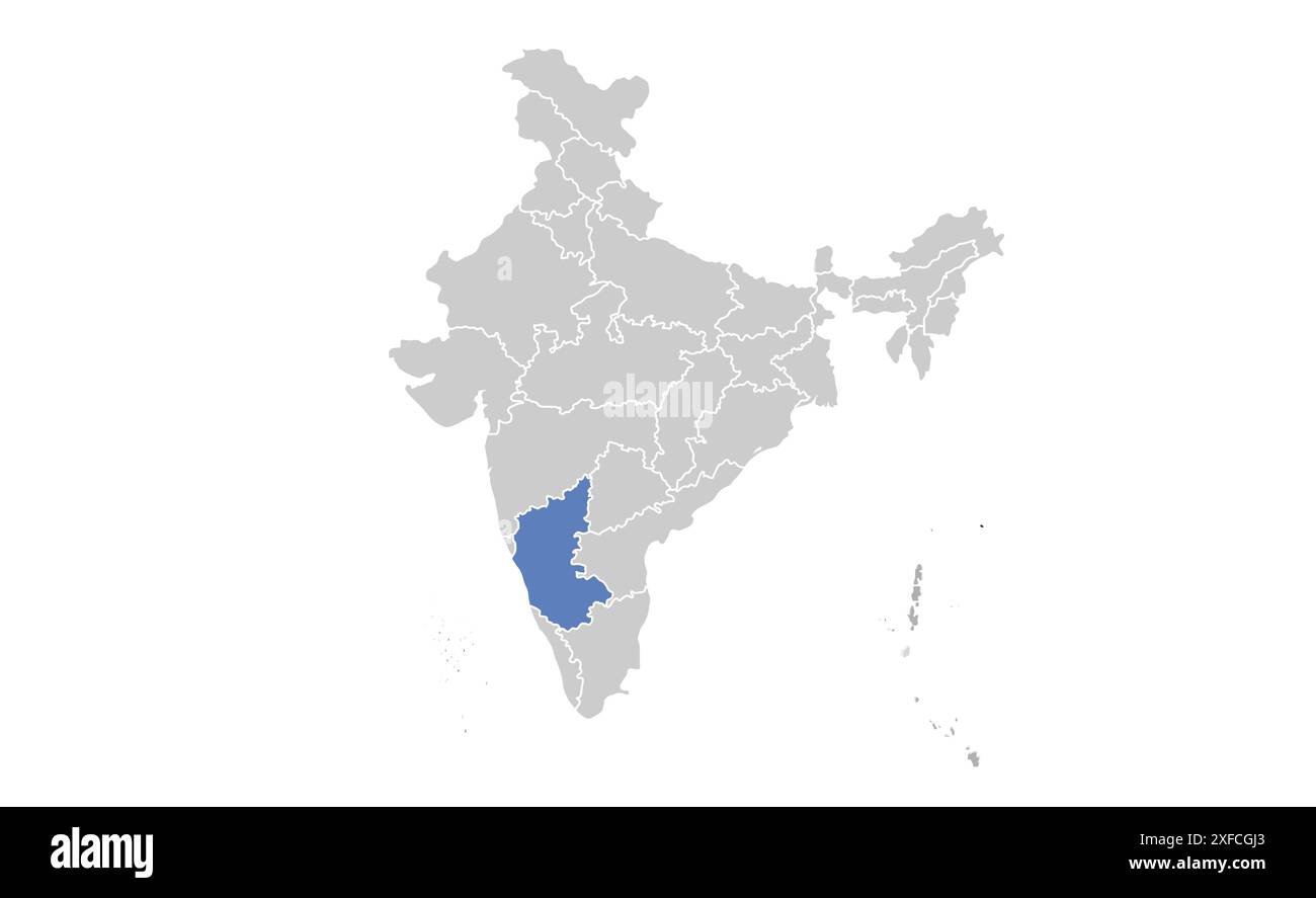 Karnataka political map1, State of India, Republic of India, government, Political map, modern map, Indian flag, vector illustration Stock Vectorhttps://www.alamy.com/image-license-details/?v=1https://www.alamy.com/karnataka-political-map1-state-of-india-republic-of-india-government-political-map-modern-map-indian-flag-vector-illustration-image611859195.html
RF2XFCGJ3–Karnataka political map1, State of India, Republic of India, government, Political map, modern map, Indian flag, vector illustration
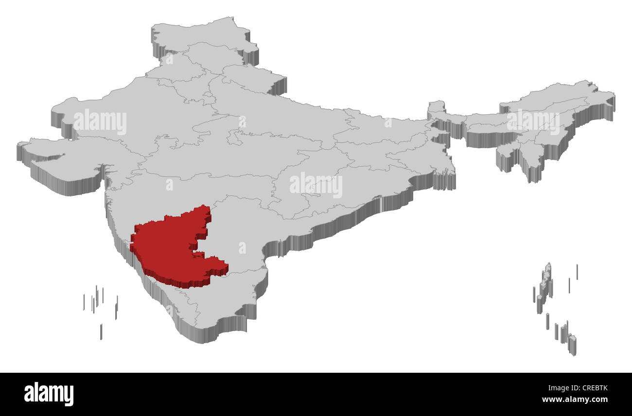 Political map of India with the several states where Karnataka is highlighted. Stock Photohttps://www.alamy.com/image-license-details/?v=1https://www.alamy.com/stock-photo-political-map-of-india-with-the-several-states-where-karnataka-is-48874467.html
RFCREBTK–Political map of India with the several states where Karnataka is highlighted.
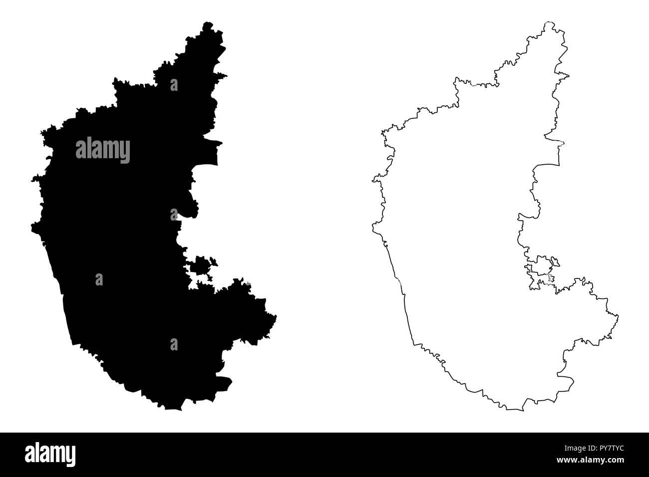 Karnataka (States and union territories of India, Federated states, Republic of India) map vector illustration, scribble sketch Karnataka state map Stock Vectorhttps://www.alamy.com/image-license-details/?v=1https://www.alamy.com/karnataka-states-and-union-territories-of-india-federated-states-republic-of-india-map-vector-illustration-scribble-sketch-karnataka-state-map-image223293376.html
RFPY7TYC–Karnataka (States and union territories of India, Federated states, Republic of India) map vector illustration, scribble sketch Karnataka state map
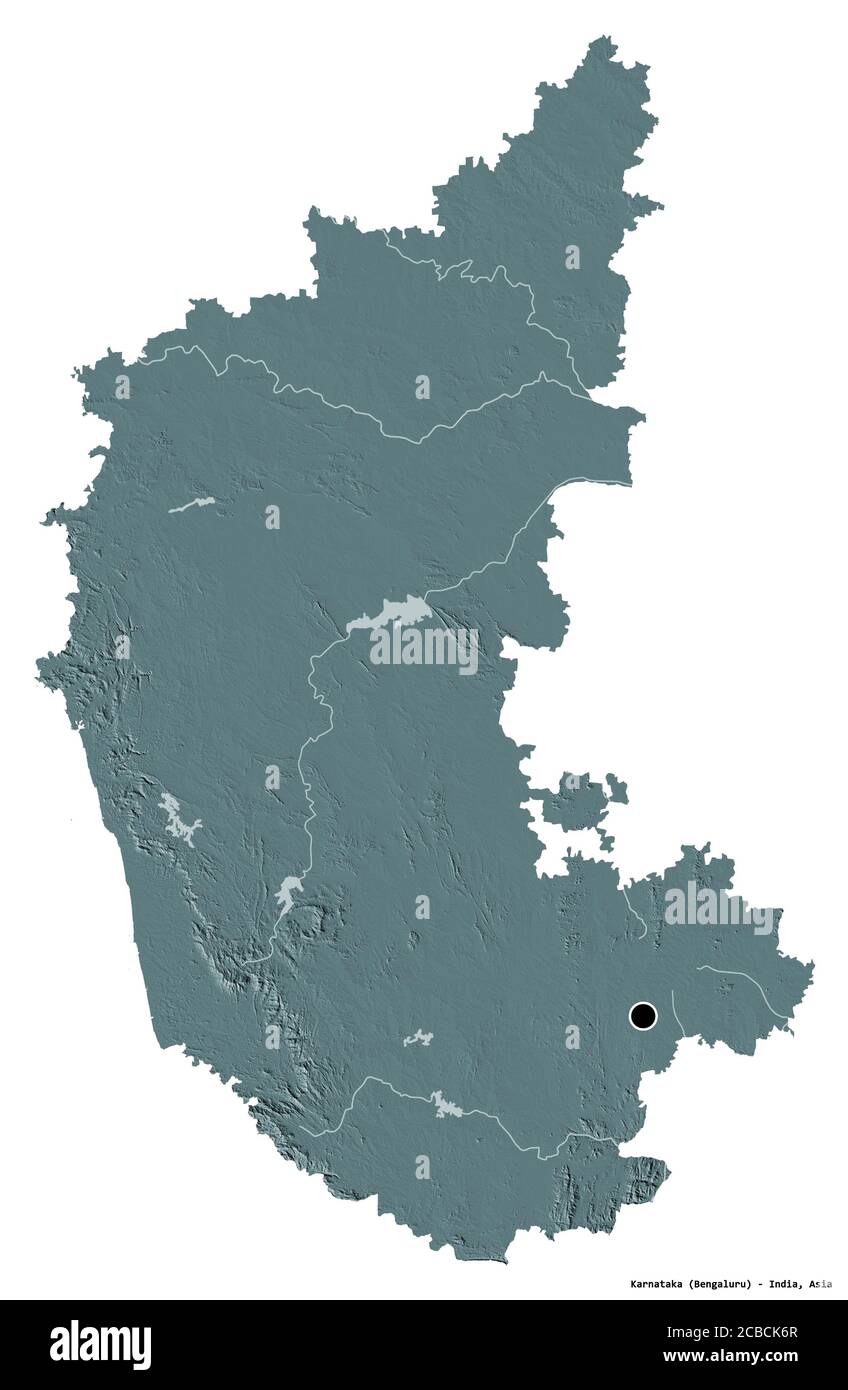 Shape of Karnataka, state of India, with its capital isolated on white background. Colored elevation map. 3D rendering Stock Photohttps://www.alamy.com/image-license-details/?v=1https://www.alamy.com/shape-of-karnataka-state-of-india-with-its-capital-isolated-on-white-background-colored-elevation-map-3d-rendering-image368457455.html
RF2CBCK6R–Shape of Karnataka, state of India, with its capital isolated on white background. Colored elevation map. 3D rendering
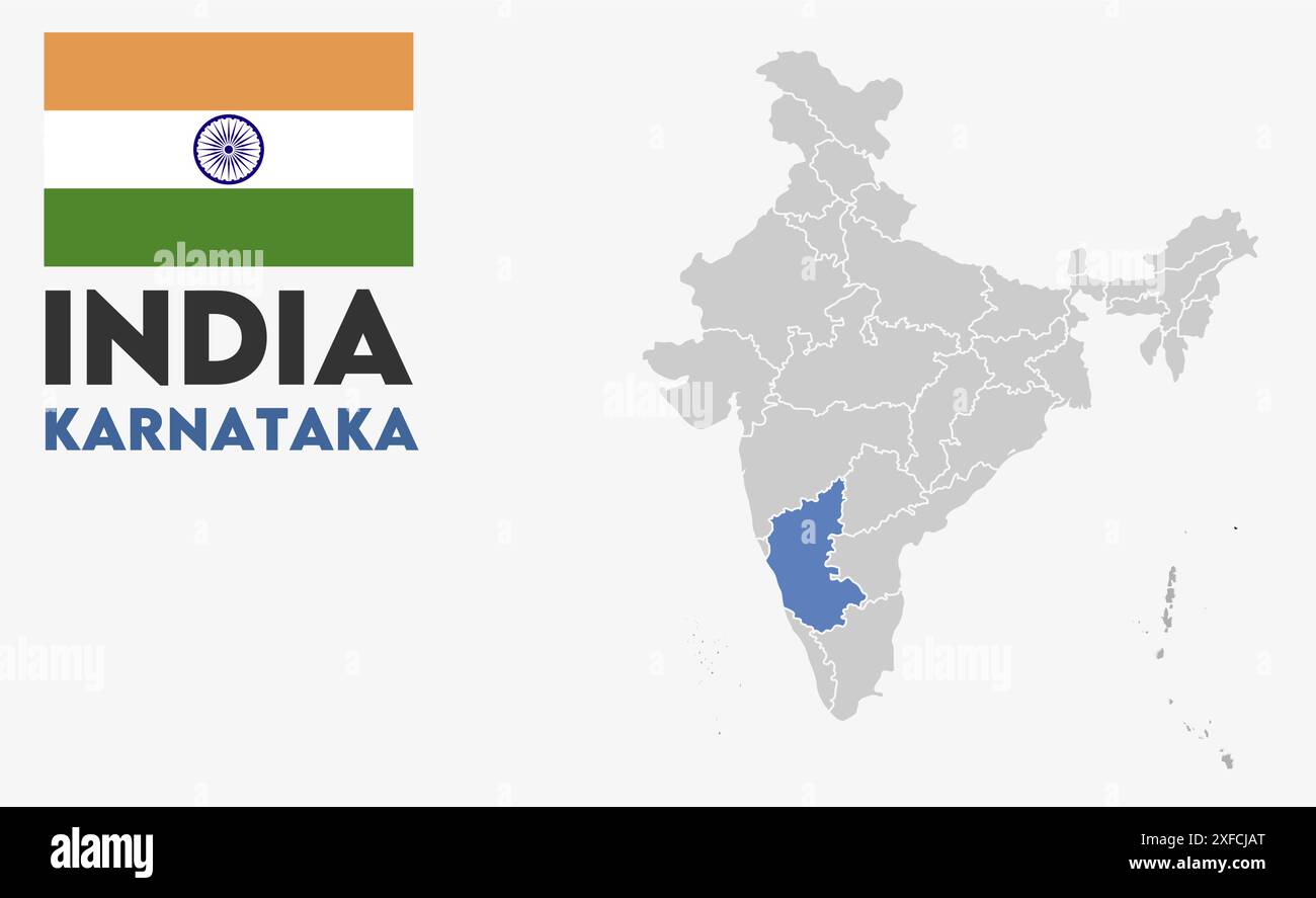 Karnataka Map image1, State of India, Republic of India, government, Political map, modern map, Indian flag, vector illustration Stock Vectorhttps://www.alamy.com/image-license-details/?v=1https://www.alamy.com/karnataka-map-image1-state-of-india-republic-of-india-government-political-map-modern-map-indian-flag-vector-illustration-image611860560.html
RF2XFCJAT–Karnataka Map image1, State of India, Republic of India, government, Political map, modern map, Indian flag, vector illustration
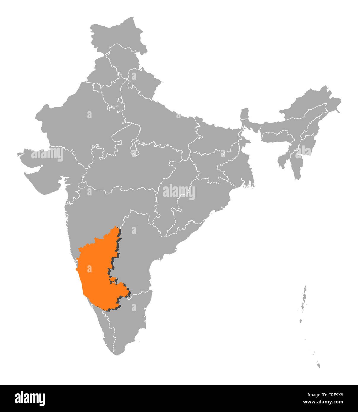 Political map of India with the several states where Karnataka is highlighted. Stock Photohttps://www.alamy.com/image-license-details/?v=1https://www.alamy.com/stock-photo-political-map-of-india-with-the-several-states-where-karnataka-is-48872944.html
RFCRE9X8–Political map of India with the several states where Karnataka is highlighted.
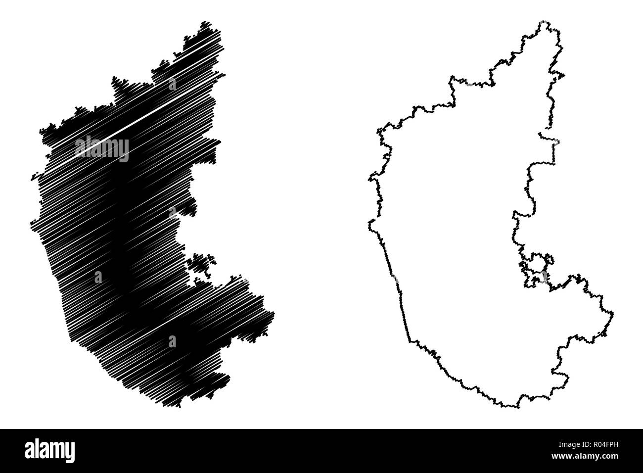 Karnataka (States and union territories of India, Federated states, Republic of India) map vector illustration, scribble sketch Karnataka state map Stock Vectorhttps://www.alamy.com/image-license-details/?v=1https://www.alamy.com/karnataka-states-and-union-territories-of-india-federated-states-republic-of-india-map-vector-illustration-scribble-sketch-karnataka-state-map-image223834985.html
RFR04FPH–Karnataka (States and union territories of India, Federated states, Republic of India) map vector illustration, scribble sketch Karnataka state map
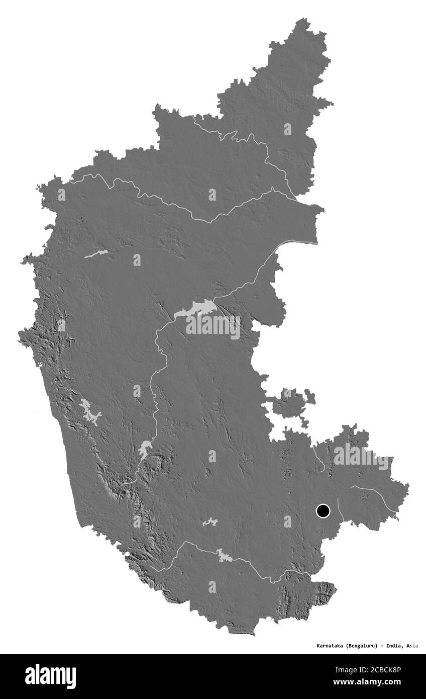 Shape of Karnataka, state of India, with its capital isolated on white background. Bilevel elevation map. 3D rendering Stock Photohttps://www.alamy.com/image-license-details/?v=1https://www.alamy.com/shape-of-karnataka-state-of-india-with-its-capital-isolated-on-white-background-bilevel-elevation-map-3d-rendering-image368457510.html
RF2CBCK8P–Shape of Karnataka, state of India, with its capital isolated on white background. Bilevel elevation map. 3D rendering
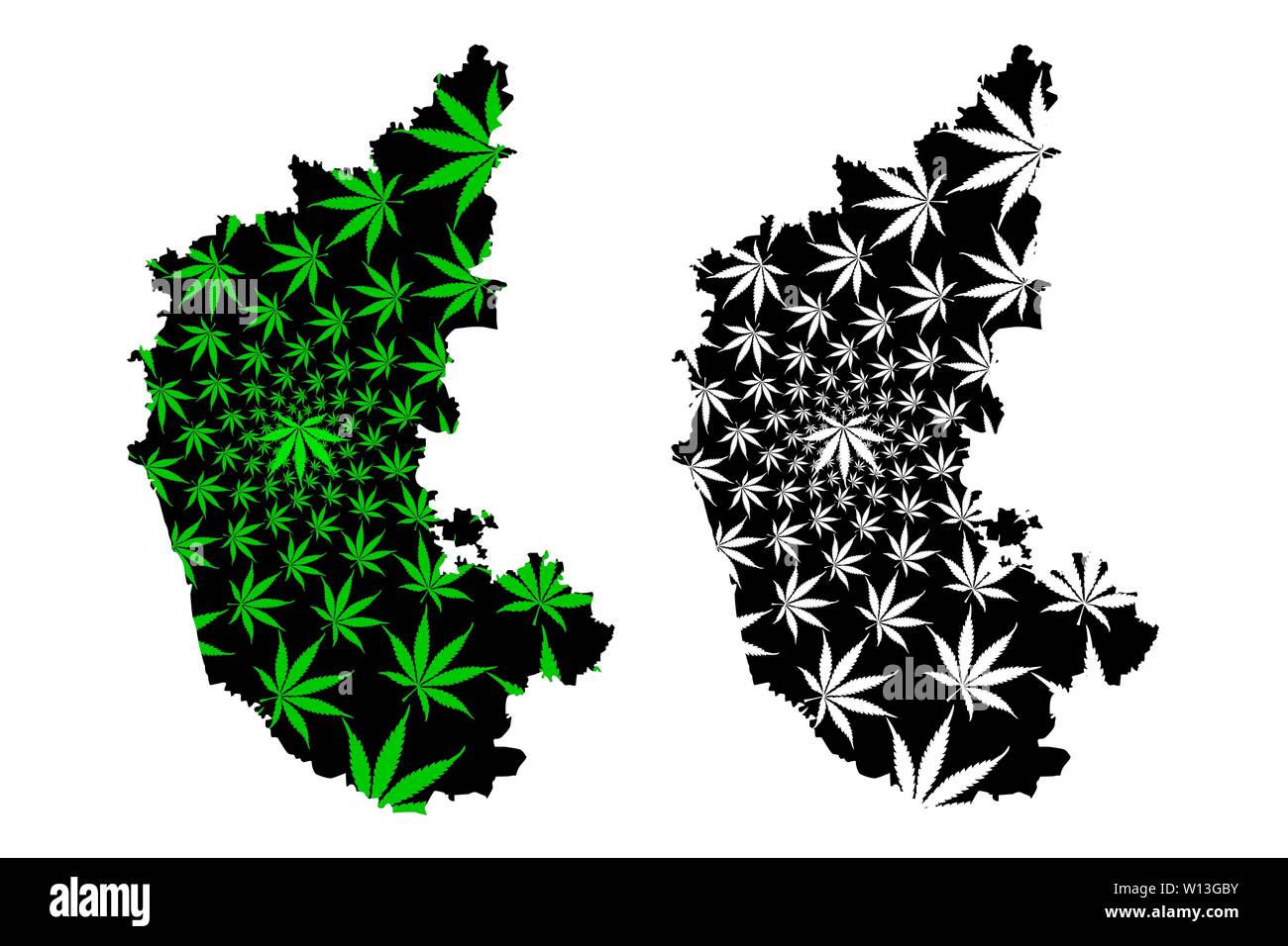 Karnataka (States and union territories of India, Federated states, Republic of India) map is designed cannabis leaf green and black, Karnataka state Stock Vectorhttps://www.alamy.com/image-license-details/?v=1https://www.alamy.com/karnataka-states-and-union-territories-of-india-federated-states-republic-of-india-map-is-designed-cannabis-leaf-green-and-black-karnataka-state-image258848911.html
RFW13GBY–Karnataka (States and union territories of India, Federated states, Republic of India) map is designed cannabis leaf green and black, Karnataka state
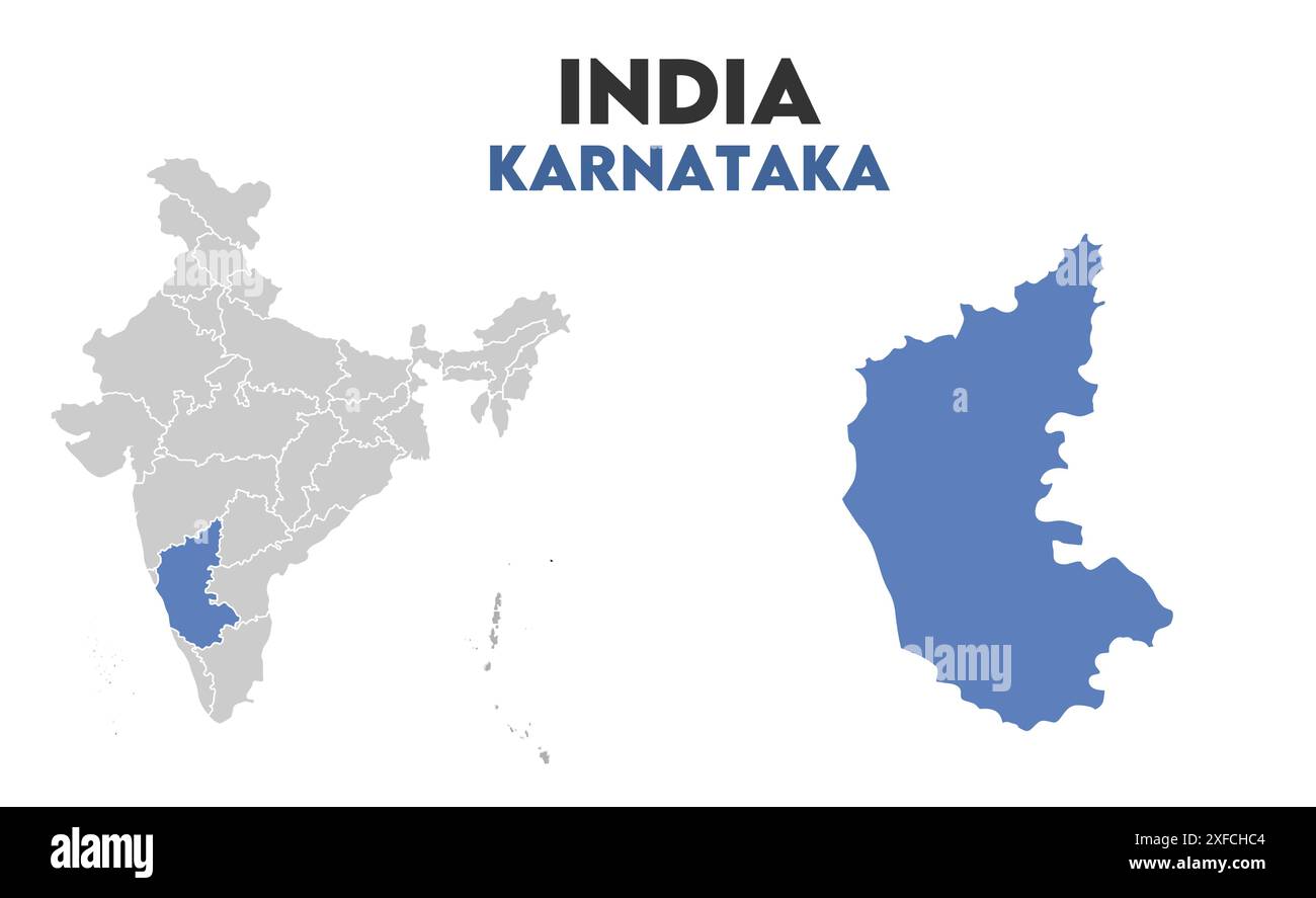 Karnataka Map graphic1, State of India, Republic of India, government, Political map, modern map, Indian flag, vector illustration Stock Vectorhttps://www.alamy.com/image-license-details/?v=1https://www.alamy.com/karnataka-map-graphic1-state-of-india-republic-of-india-government-political-map-modern-map-indian-flag-vector-illustration-image611859812.html
RF2XFCHC4–Karnataka Map graphic1, State of India, Republic of India, government, Political map, modern map, Indian flag, vector illustration
 Political map of India with the several states where Karnataka is highlighted. Stock Photohttps://www.alamy.com/image-license-details/?v=1https://www.alamy.com/stock-photo-political-map-of-india-with-the-several-states-where-karnataka-is-48871993.html
RFCRE8M9–Political map of India with the several states where Karnataka is highlighted.
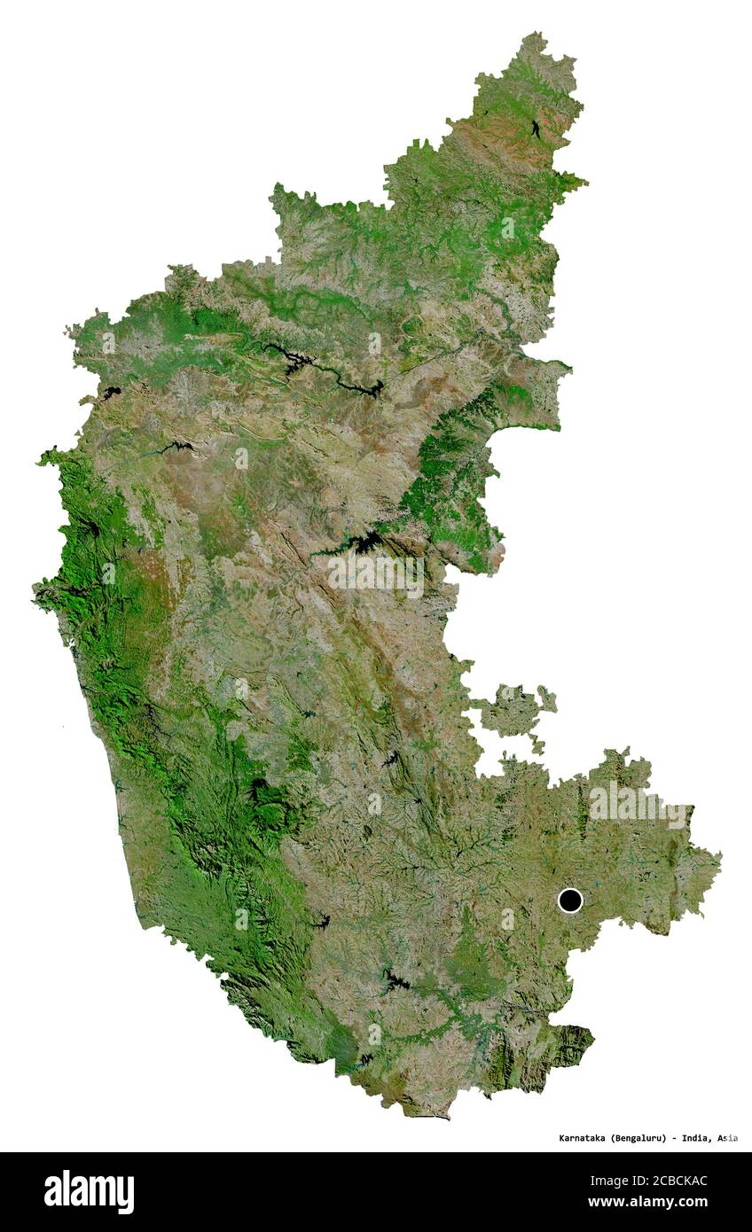 Shape of Karnataka, state of India, with its capital isolated on white background. Satellite imagery. 3D rendering Stock Photohttps://www.alamy.com/image-license-details/?v=1https://www.alamy.com/shape-of-karnataka-state-of-india-with-its-capital-isolated-on-white-background-satellite-imagery-3d-rendering-image368457556.html
RF2CBCKAC–Shape of Karnataka, state of India, with its capital isolated on white background. Satellite imagery. 3D rendering
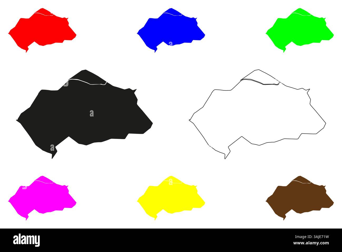 Hospet city (Republic of India, State of Karnataka) map vector illustration, scribble sketch Hosapete map Stock Vectorhttps://www.alamy.com/image-license-details/?v=1https://www.alamy.com/hospet-city-republic-of-india-state-of-karnataka-map-vector-illustration-scribble-sketch-hosapete-map-image665370661.html
RF3AJE71W–Hospet city (Republic of India, State of Karnataka) map vector illustration, scribble sketch Hosapete map
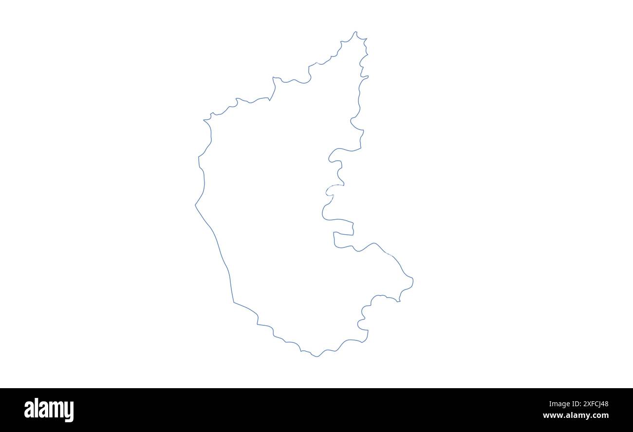 Karnataka Map outline1, State of India, Republic of India, government, Political map, modern map, Indian flag, vector illustration Stock Vectorhttps://www.alamy.com/image-license-details/?v=1https://www.alamy.com/karnataka-map-outline1-state-of-india-republic-of-india-government-political-map-modern-map-indian-flag-vector-illustration-image611860376.html
RF2XFCJ48–Karnataka Map outline1, State of India, Republic of India, government, Political map, modern map, Indian flag, vector illustration
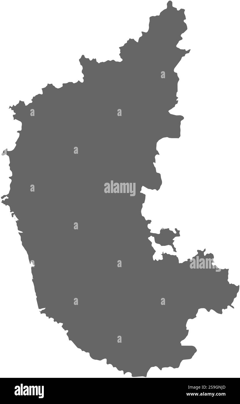 Map of Karnataka, a province of India. Stock Vectorhttps://www.alamy.com/image-license-details/?v=1https://www.alamy.com/map-of-karnataka-a-province-of-india-image642683733.html
RF2S9GNJD–Map of Karnataka, a province of India.
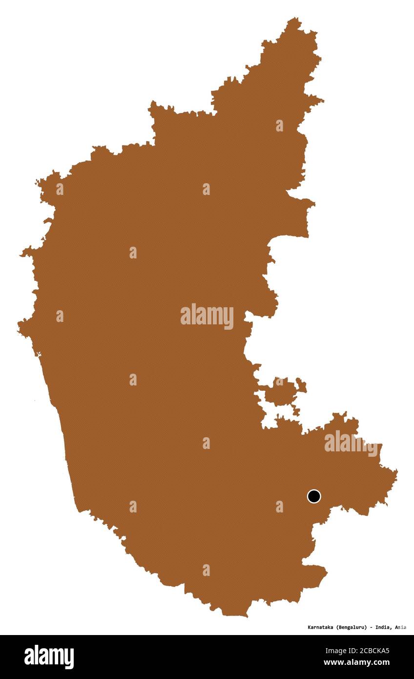 Shape of Karnataka, state of India, with its capital isolated on white background. Composition of patterned textures. 3D rendering Stock Photohttps://www.alamy.com/image-license-details/?v=1https://www.alamy.com/shape-of-karnataka-state-of-india-with-its-capital-isolated-on-white-background-composition-of-patterned-textures-3d-rendering-image368457549.html
RF2CBCKA5–Shape of Karnataka, state of India, with its capital isolated on white background. Composition of patterned textures. 3D rendering
 Tumkur city (Republic of India, State of Karnataka) map vector illustration, scribble sketch Tumakuru map Stock Vectorhttps://www.alamy.com/image-license-details/?v=1https://www.alamy.com/tumkur-city-republic-of-india-state-of-karnataka-map-vector-illustration-scribble-sketch-tumakuru-map-image678834211.html
RF3BCBFXY–Tumkur city (Republic of India, State of Karnataka) map vector illustration, scribble sketch Tumakuru map
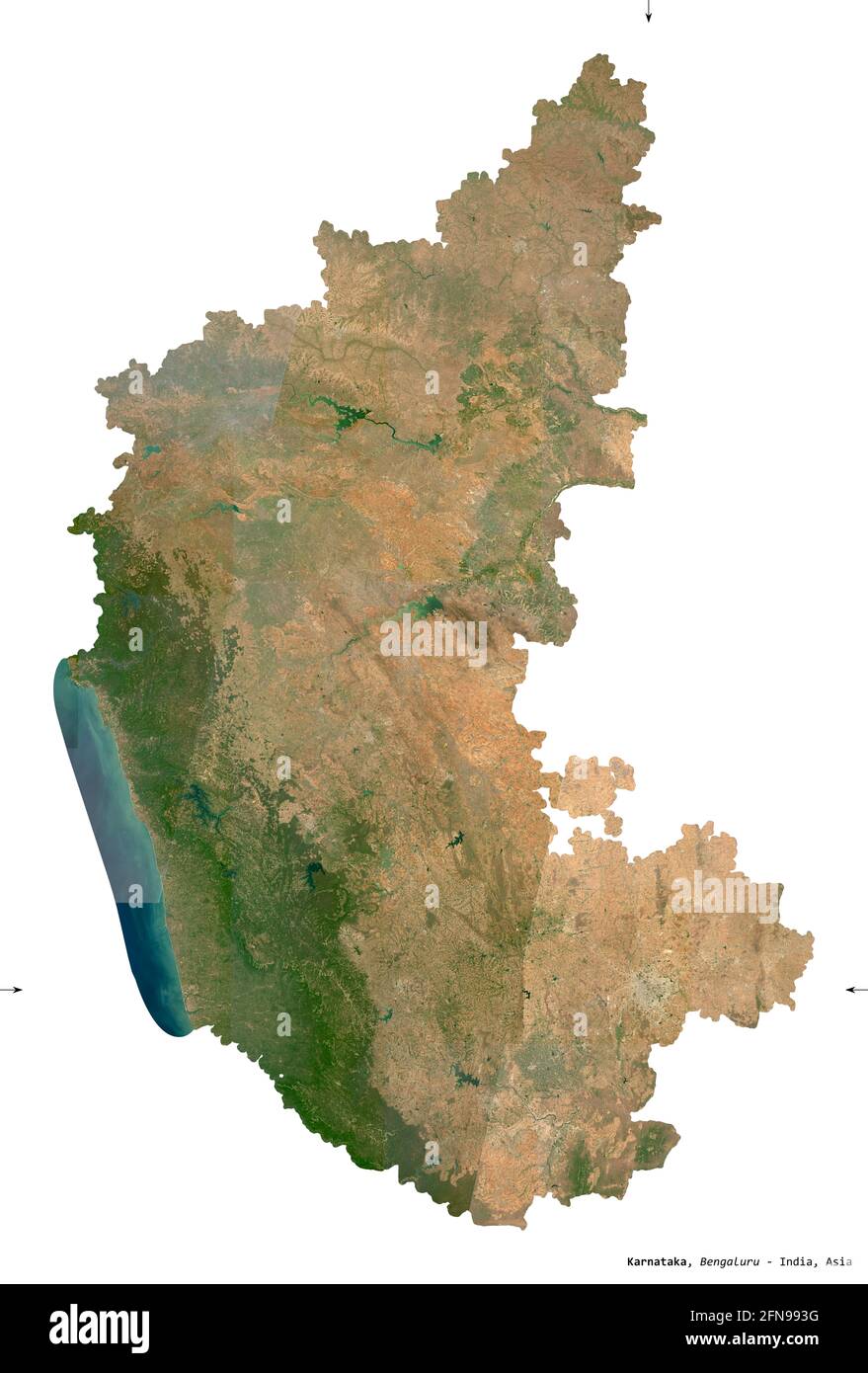 Karnataka, state of India. Sentinel-2 satellite imagery. Shape isolated on white. Description, location of the capital. Contains modified Copernicus S Stock Photohttps://www.alamy.com/image-license-details/?v=1https://www.alamy.com/karnataka-state-of-india-sentinel-2-satellite-imagery-shape-isolated-on-white-description-location-of-the-capital-contains-modified-copernicus-s-image426161332.html
RF2FN993G–Karnataka, state of India. Sentinel-2 satellite imagery. Shape isolated on white. Description, location of the capital. Contains modified Copernicus S
 Karnataka vector map1, State of India, Republic of India, government, Political map, modern map, Indian flag, vector illustration Stock Vectorhttps://www.alamy.com/image-license-details/?v=1https://www.alamy.com/karnataka-vector-map1-state-of-india-republic-of-india-government-political-map-modern-map-indian-flag-vector-illustration-image611860435.html
RF2XFCJ6B–Karnataka vector map1, State of India, Republic of India, government, Political map, modern map, Indian flag, vector illustration
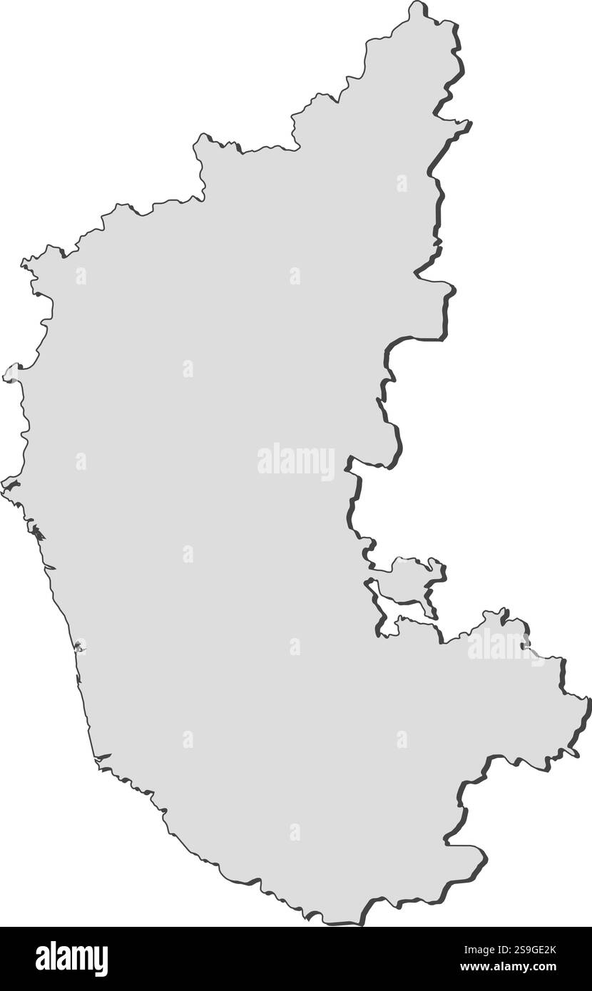 Map of Karnataka, a province of India. Stock Vectorhttps://www.alamy.com/image-license-details/?v=1https://www.alamy.com/map-of-karnataka-a-province-of-india-image642677803.html
RF2S9GE2K–Map of Karnataka, a province of India.
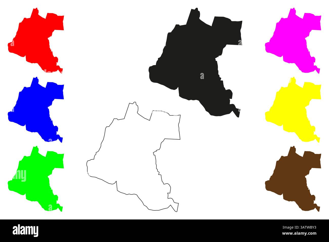 Kolar city (Republic of India, State of Karnataka) map vector illustration, scribble sketch Kolar map Stock Vectorhttps://www.alamy.com/image-license-details/?v=1https://www.alamy.com/kolar-city-republic-of-india-state-of-karnataka-map-vector-illustration-scribble-sketch-kolar-map-image669303911.html
RF3ATWBY3–Kolar city (Republic of India, State of Karnataka) map vector illustration, scribble sketch Kolar map
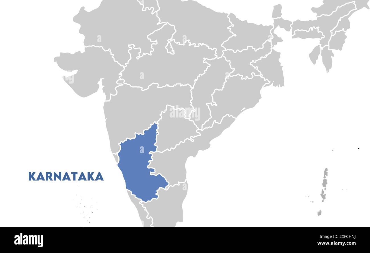 Karnataka Map on focus1, State of India, Republic of India, government, Political map, modern map, Indian flag, vector illustration Stock Vectorhttps://www.alamy.com/image-license-details/?v=1https://www.alamy.com/karnataka-map-on-focus1-state-of-india-republic-of-india-government-political-map-modern-map-indian-flag-vector-illustration-image611860078.html
RF2XFCHNJ–Karnataka Map on focus1, State of India, Republic of India, government, Political map, modern map, Indian flag, vector illustration
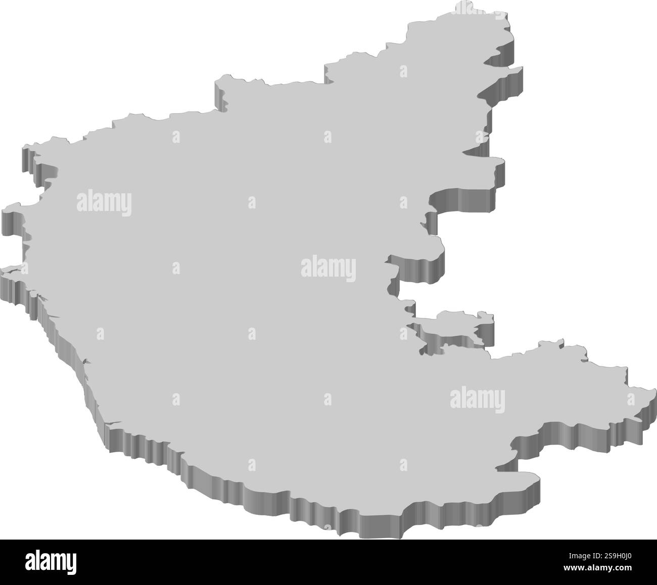 Map of Karnataka, a province of India. Stock Vectorhttps://www.alamy.com/image-license-details/?v=1https://www.alamy.com/map-of-karnataka-a-province-of-india-image642689208.html
RF2S9H0J0–Map of Karnataka, a province of India.
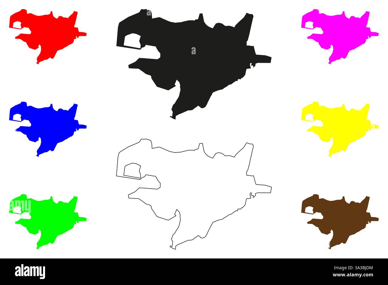 Ballari city (Republic of India, State of Karnataka) map vector illustration, scribble sketch Bellary map Stock Vectorhttps://www.alamy.com/image-license-details/?v=1https://www.alamy.com/ballari-city-republic-of-india-state-of-karnataka-map-vector-illustration-scribble-sketch-bellary-map-image656093920.html
RF3A3BJDM–Ballari city (Republic of India, State of Karnataka) map vector illustration, scribble sketch Bellary map
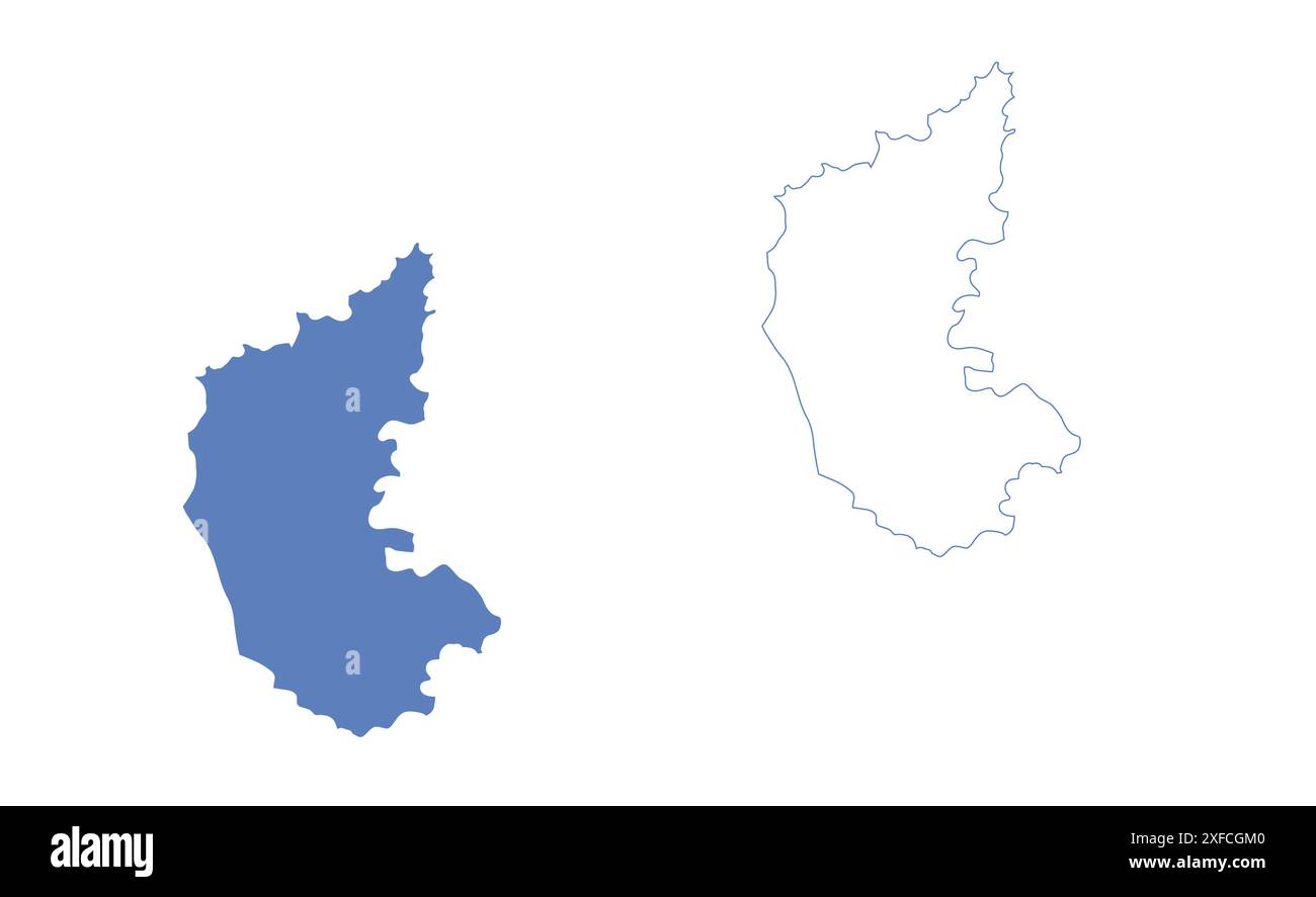 Karnataka State Map vector1, State of India, Republic of India, government, Political map, modern map, Indian flag, vector illustration Stock Vectorhttps://www.alamy.com/image-license-details/?v=1https://www.alamy.com/karnataka-state-map-vector1-state-of-india-republic-of-india-government-political-map-modern-map-indian-flag-vector-illustration-image611859248.html
RF2XFCGM0–Karnataka State Map vector1, State of India, Republic of India, government, Political map, modern map, Indian flag, vector illustration
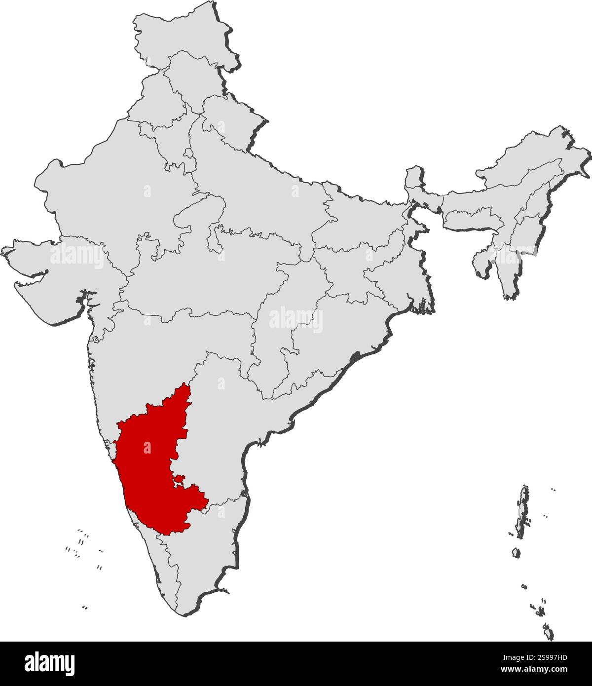 Map of India with the provinces, Karnataka is highlighted. Stock Vectorhttps://www.alamy.com/image-license-details/?v=1https://www.alamy.com/map-of-india-with-the-provinces-karnataka-is-highlighted-image642519065.html
RF2S997HD–Map of India with the provinces, Karnataka is highlighted.
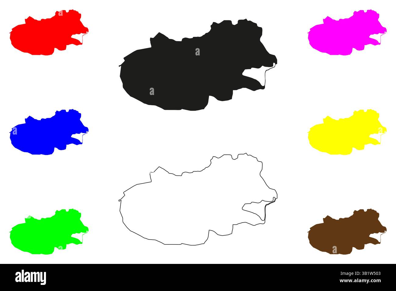 Mandya city (Republic of India, State of Karnataka) map vector illustration, scribble sketch Mandya map Stock Vectorhttps://www.alamy.com/image-license-details/?v=1https://www.alamy.com/mandya-city-republic-of-india-state-of-karnataka-map-vector-illustration-scribble-sketch-mandya-map-image672371731.html
RF3B1W503–Mandya city (Republic of India, State of Karnataka) map vector illustration, scribble sketch Mandya map
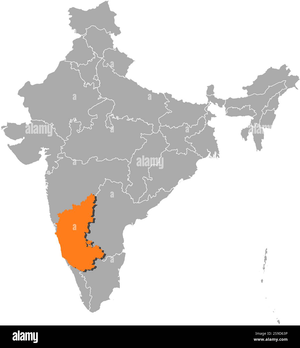 Map of India with the provinces, Karnataka is highlighted by orange. Stock Vectorhttps://www.alamy.com/image-license-details/?v=1https://www.alamy.com/map-of-india-with-the-provinces-karnataka-is-highlighted-by-orange-image642605706.html
RF2S9D63P–Map of India with the provinces, Karnataka is highlighted by orange.
 Chitradurga city (Republic of India, State of Karnataka) map vector illustration, scribble sketch Chitradurga map Stock Vectorhttps://www.alamy.com/image-license-details/?v=1https://www.alamy.com/chitradurga-city-republic-of-india-state-of-karnataka-map-vector-illustration-scribble-sketch-chitradurga-map-image659369057.html
RF3A8MRXW–Chitradurga city (Republic of India, State of Karnataka) map vector illustration, scribble sketch Chitradurga map
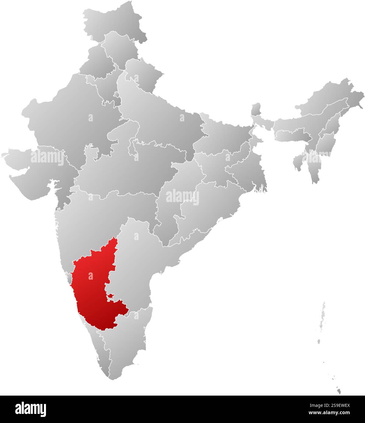 Map of India with the provinces, filled with a linear gradient, Karnataka is highlighted. Stock Vectorhttps://www.alamy.com/image-license-details/?v=1https://www.alamy.com/map-of-india-with-the-provinces-filled-with-a-linear-gradient-karnataka-is-highlighted-image642642866.html
RF2S9EWEX–Map of India with the provinces, filled with a linear gradient, Karnataka is highlighted.
 Gangavati city (Republic of India, State of Karnataka) map vector illustration, scribble sketch Gangavati map Stock Vectorhttps://www.alamy.com/image-license-details/?v=1https://www.alamy.com/gangavati-city-republic-of-india-state-of-karnataka-map-vector-illustration-scribble-sketch-gangavati-map-image662107847.html
RF3AD5H8R–Gangavati city (Republic of India, State of Karnataka) map vector illustration, scribble sketch Gangavati map
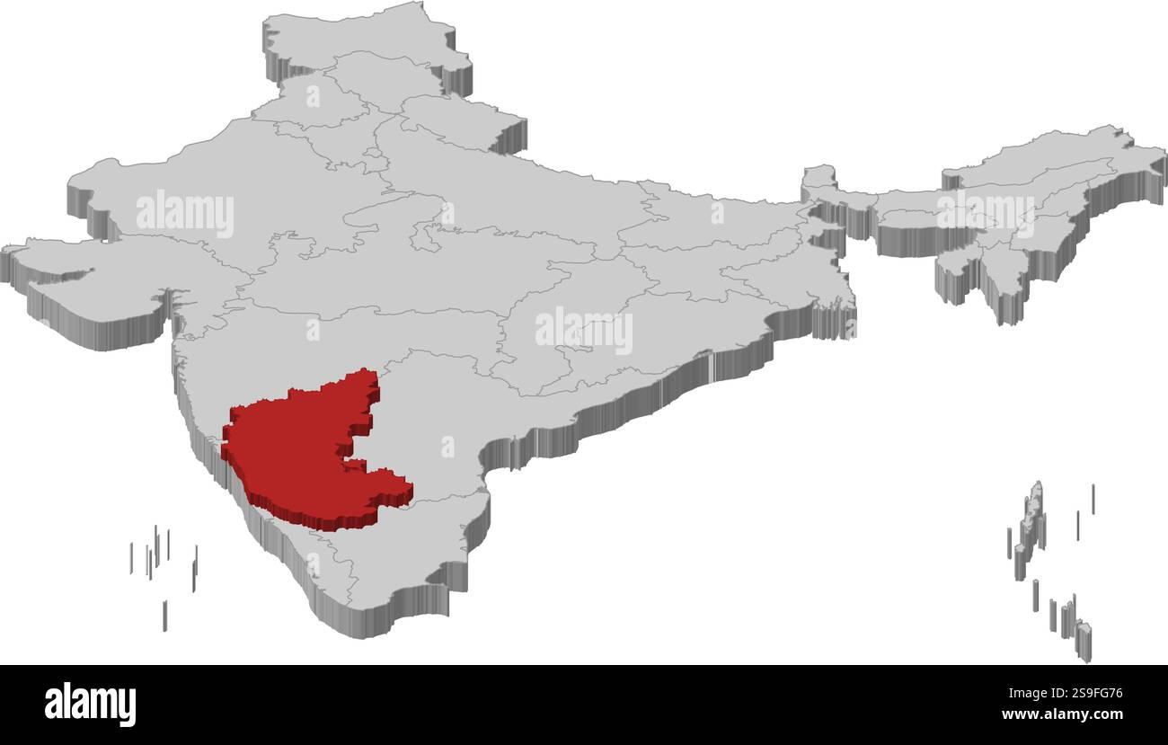 Map of India as a gray piece., Karnataka is highlighted in red. Stock Vectorhttps://www.alamy.com/image-license-details/?v=1https://www.alamy.com/map-of-india-as-a-gray-piece-karnataka-is-highlighted-in-red-image642657546.html
RF2S9FG76–Map of India as a gray piece., Karnataka is highlighted in red.
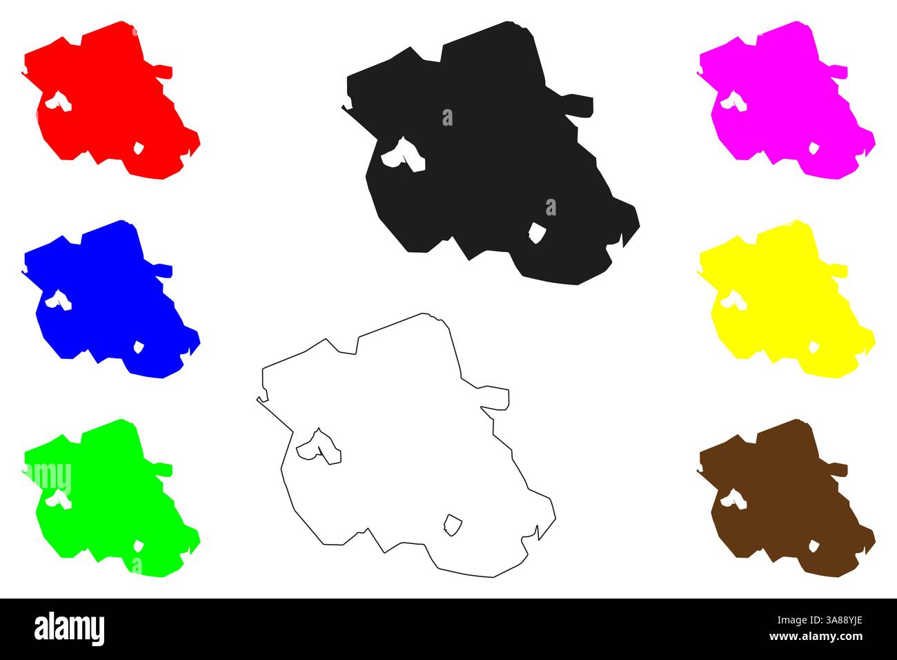 Davanagere city (Republic of India, State of Karnataka) map vector illustration, scribble sketch Davanagere map Stock Vectorhttps://www.alamy.com/image-license-details/?v=1https://www.alamy.com/davanagere-city-republic-of-india-state-of-karnataka-map-vector-illustration-scribble-sketch-davanagere-map-image659108534.html
RF3A88YJE–Davanagere city (Republic of India, State of Karnataka) map vector illustration, scribble sketch Davanagere map
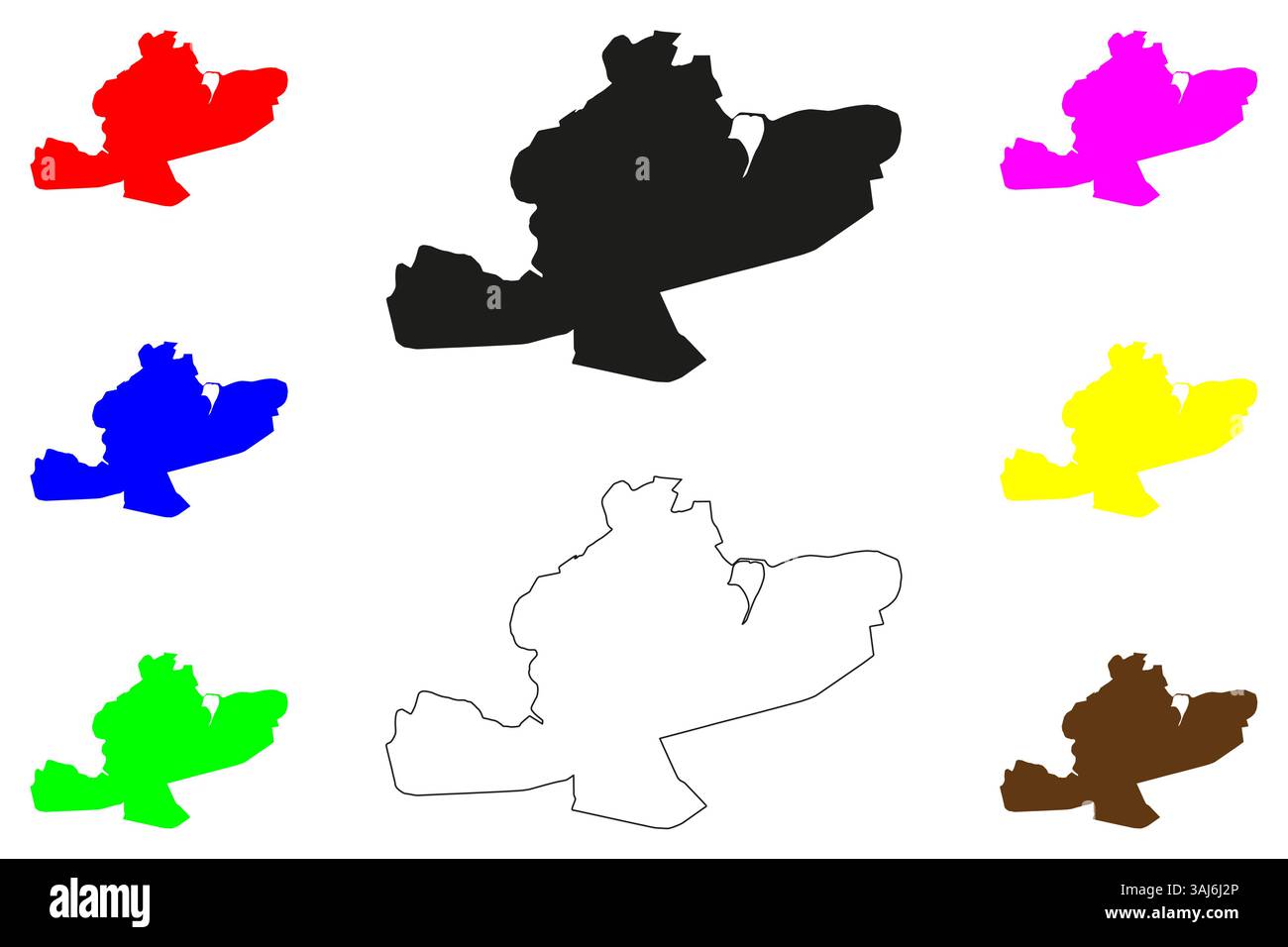 Hassan city (Republic of India, State of Karnataka) map vector illustration, scribble sketch Hassan map Stock Vectorhttps://www.alamy.com/image-license-details/?v=1https://www.alamy.com/hassan-city-republic-of-india-state-of-karnataka-map-vector-illustration-scribble-sketch-hassan-map-image665203694.html
RF3AJ6J2P–Hassan city (Republic of India, State of Karnataka) map vector illustration, scribble sketch Hassan map
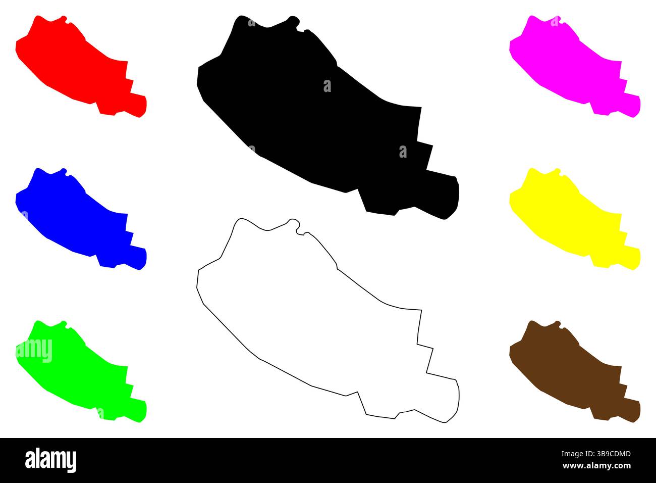 Ranebennuru city (Republic of India, State of Karnataka) map vector illustration, scribble sketch Ranibennur map Stock Vectorhttps://www.alamy.com/image-license-details/?v=1https://www.alamy.com/ranebennuru-city-republic-of-india-state-of-karnataka-map-vector-illustration-scribble-sketch-ranibennur-map-image677010445.html
RF3B9CDMD–Ranebennuru city (Republic of India, State of Karnataka) map vector illustration, scribble sketch Ranibennur map
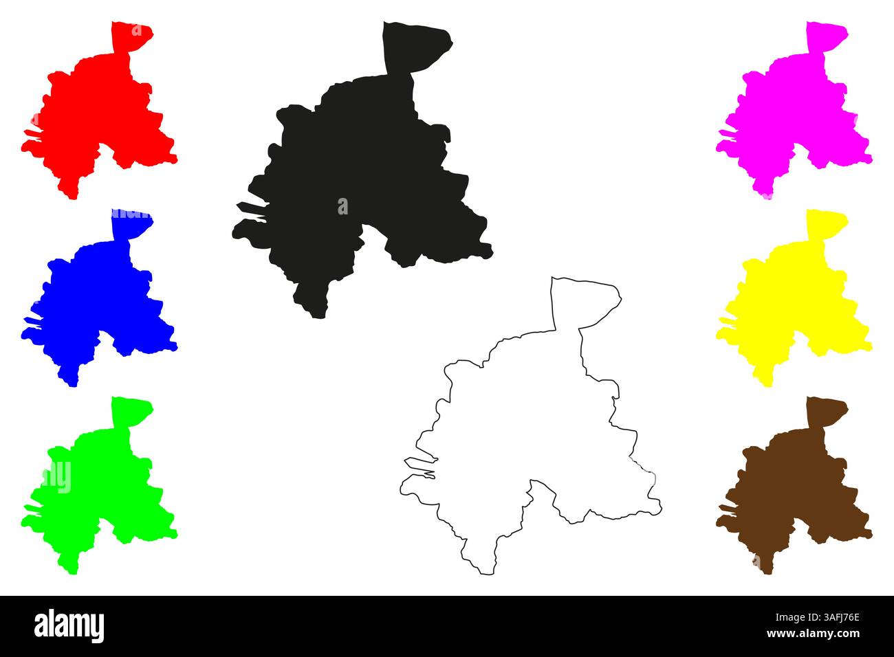 Gulbarga city (Republic of India, State of Karnataka) map vector illustration, scribble sketch Kalaburagi map Stock Vectorhttps://www.alamy.com/image-license-details/?v=1https://www.alamy.com/gulbarga-city-republic-of-india-state-of-karnataka-map-vector-illustration-scribble-sketch-kalaburagi-map-image663614630.html
RF3AFJ76E–Gulbarga city (Republic of India, State of Karnataka) map vector illustration, scribble sketch Kalaburagi map
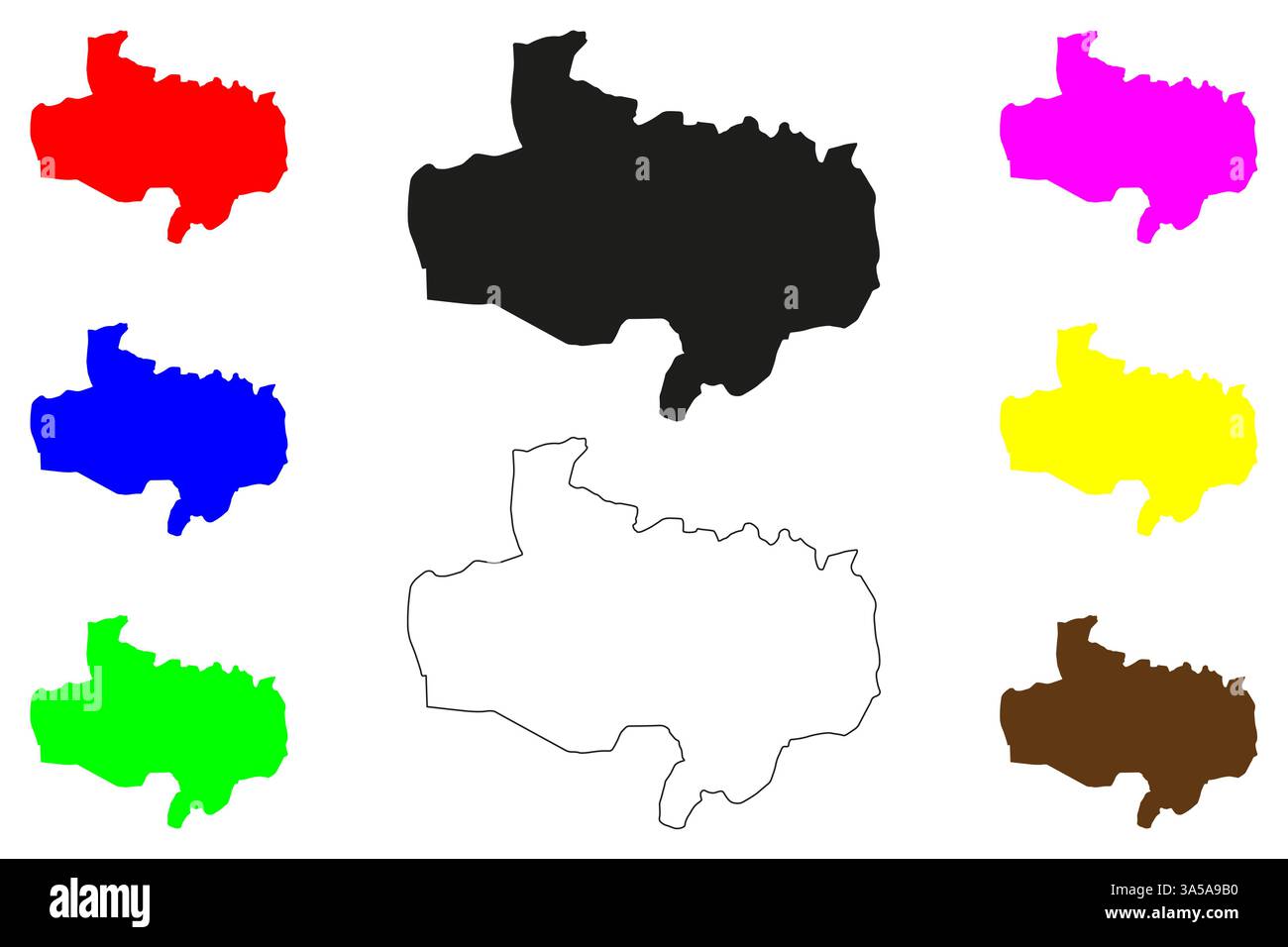 Bidar city (Republic of India, State of Karnataka) map vector illustration, scribble sketch Bidar map Stock Vectorhttps://www.alamy.com/image-license-details/?v=1https://www.alamy.com/bidar-city-republic-of-india-state-of-karnataka-map-vector-illustration-scribble-sketch-bidar-map-image657294148.html
RF3A5A9B0–Bidar city (Republic of India, State of Karnataka) map vector illustration, scribble sketch Bidar map
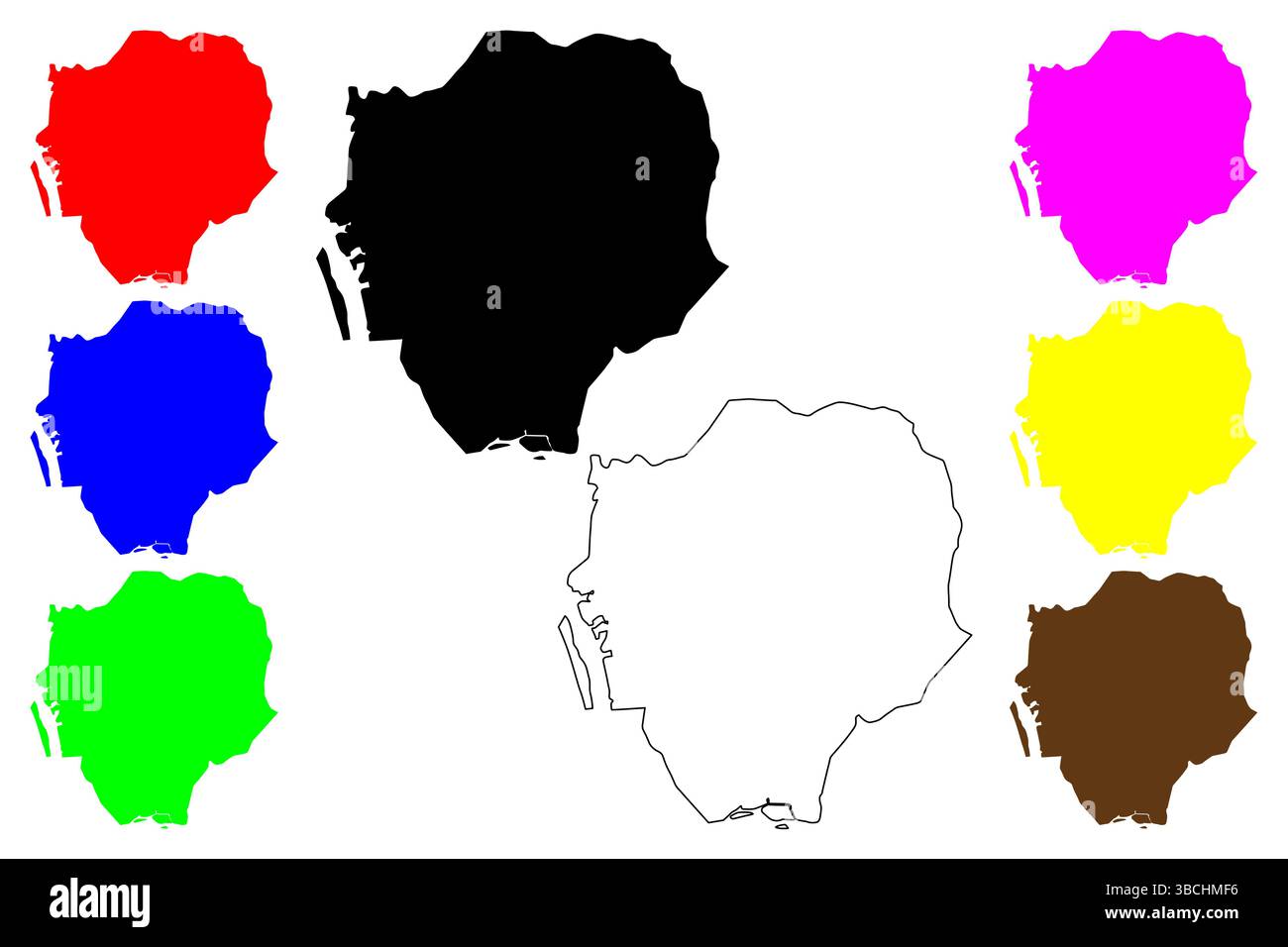 Udupi city (Republic of India, State of Karnataka) map vector illustration, scribble sketch Udupi map Stock Vectorhttps://www.alamy.com/image-license-details/?v=1https://www.alamy.com/udupi-city-republic-of-india-state-of-karnataka-map-vector-illustration-scribble-sketch-udupi-map-image678969514.html
RF3BCHMF6–Udupi city (Republic of India, State of Karnataka) map vector illustration, scribble sketch Udupi map
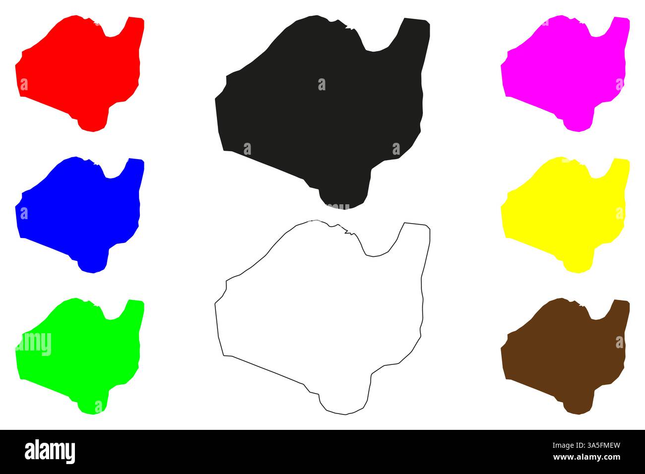 Bijapur city (Republic of India, State of Karnataka) map vector illustration, scribble sketch Vijayapura map Stock Vectorhttps://www.alamy.com/image-license-details/?v=1https://www.alamy.com/bijapur-city-republic-of-india-state-of-karnataka-map-vector-illustration-scribble-sketch-vijayapura-map-image657412641.html
RF3A5FMEW–Bijapur city (Republic of India, State of Karnataka) map vector illustration, scribble sketch Vijayapura map
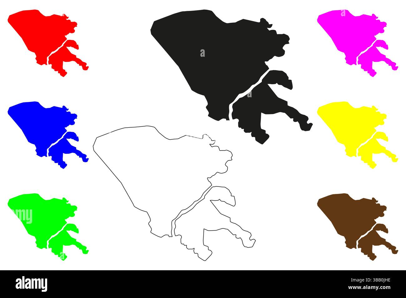 Shimoga city (Republic of India, State of Karnataka) map vector illustration, scribble sketch Shivamogga map Stock Vectorhttps://www.alamy.com/image-license-details/?v=1https://www.alamy.com/shimoga-city-republic-of-india-state-of-karnataka-map-vector-illustration-scribble-sketch-shivamogga-map-image677980170.html
RF3BB0JHE–Shimoga city (Republic of India, State of Karnataka) map vector illustration, scribble sketch Shivamogga map
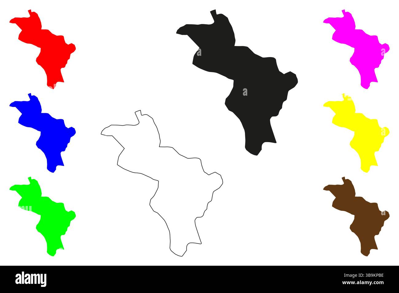 Robertsonpet city (Republic of India, State of Karnataka) map vector illustration, scribble sketch Robertson Pet map Stock Vectorhttps://www.alamy.com/image-license-details/?v=1https://www.alamy.com/robertsonpet-city-republic-of-india-state-of-karnataka-map-vector-illustration-scribble-sketch-robertson-pet-map-image677170914.html
RF3B9KPBE–Robertsonpet city (Republic of India, State of Karnataka) map vector illustration, scribble sketch Robertson Pet map
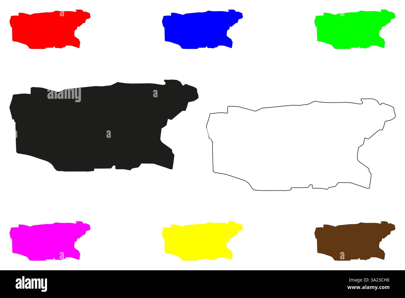 Bagalkote city (Republic of India, State of Karnataka) map vector illustration, scribble sketch Bagalkot or Bagadige map Stock Vectorhttps://www.alamy.com/image-license-details/?v=1https://www.alamy.com/bagalkote-city-republic-of-india-state-of-karnataka-map-vector-illustration-scribble-sketch-bagalkot-or-bagadige-map-image655299036.html
RF3A23CH0–Bagalkote city (Republic of India, State of Karnataka) map vector illustration, scribble sketch Bagalkot or Bagadige map
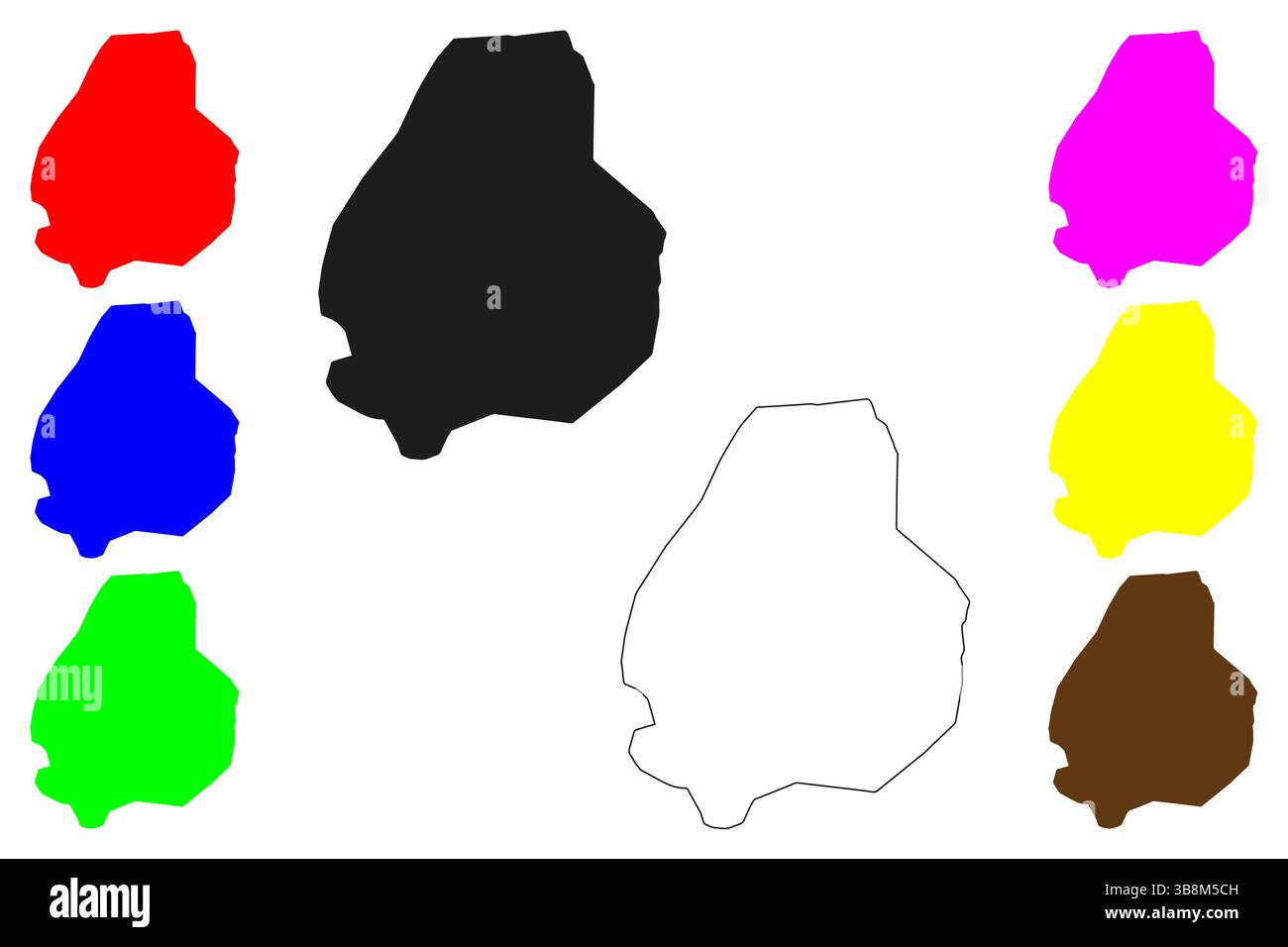 Raichur city (Republic of India, State of Karnataka) map vector illustration, scribble sketch Rayachuru or Raichore map Stock Vectorhttps://www.alamy.com/image-license-details/?v=1https://www.alamy.com/raichur-city-republic-of-india-state-of-karnataka-map-vector-illustration-scribble-sketch-rayachuru-or-raichore-map-image676564913.html
RF3B8M5CH–Raichur city (Republic of India, State of Karnataka) map vector illustration, scribble sketch Rayachuru or Raichore map
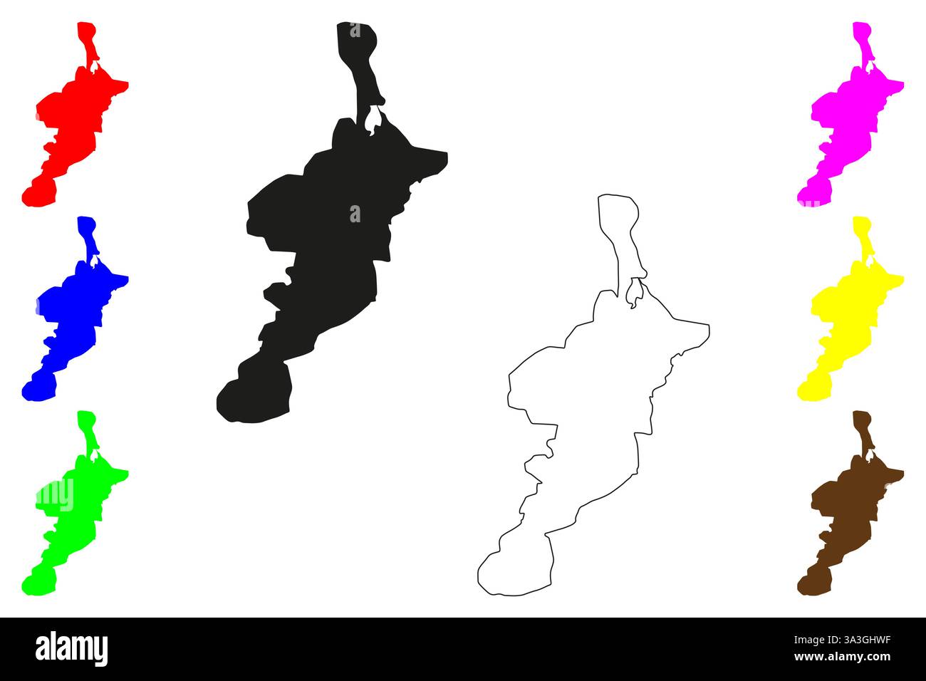 Belgaum city (Republic of India, State of Karnataka) map vector illustration, scribble sketch Belagavi or Belgaon map Stock Vectorhttps://www.alamy.com/image-license-details/?v=1https://www.alamy.com/belgaum-city-republic-of-india-state-of-karnataka-map-vector-illustration-scribble-sketch-belagavi-or-belgaon-map-image656203227.html
RF3A3GHWF–Belgaum city (Republic of India, State of Karnataka) map vector illustration, scribble sketch Belagavi or Belgaon map
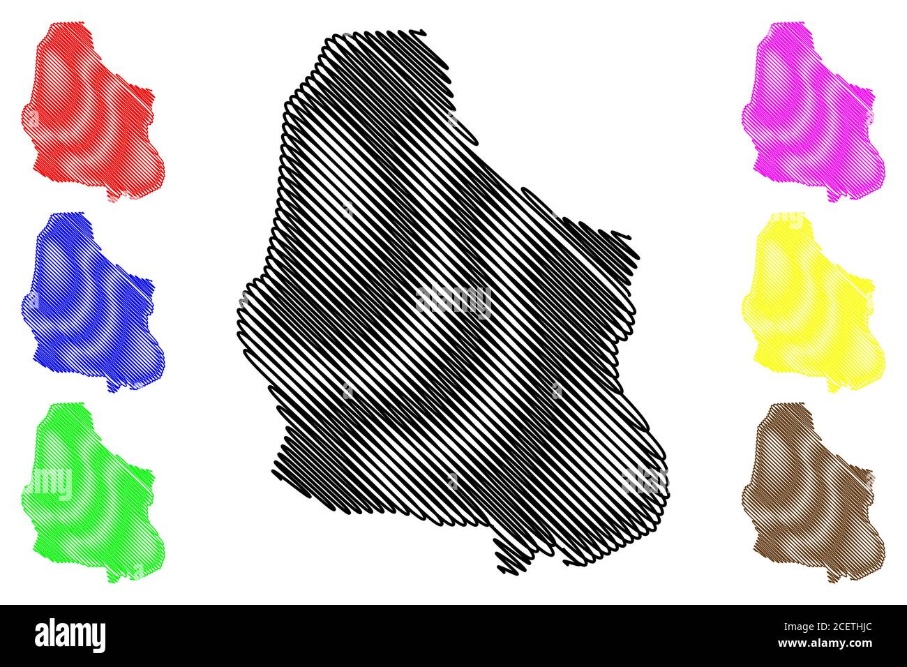 Dharwad City (Republic of India, Karnataka State) map vector illustration, scribble sketch City of Dharwad map Stock Vectorhttps://www.alamy.com/image-license-details/?v=1https://www.alamy.com/dharwad-city-republic-of-india-karnataka-state-map-vector-illustration-scribble-sketch-city-of-dharwad-map-image370563604.html
RF2CETHJC–Dharwad City (Republic of India, Karnataka State) map vector illustration, scribble sketch City of Dharwad map
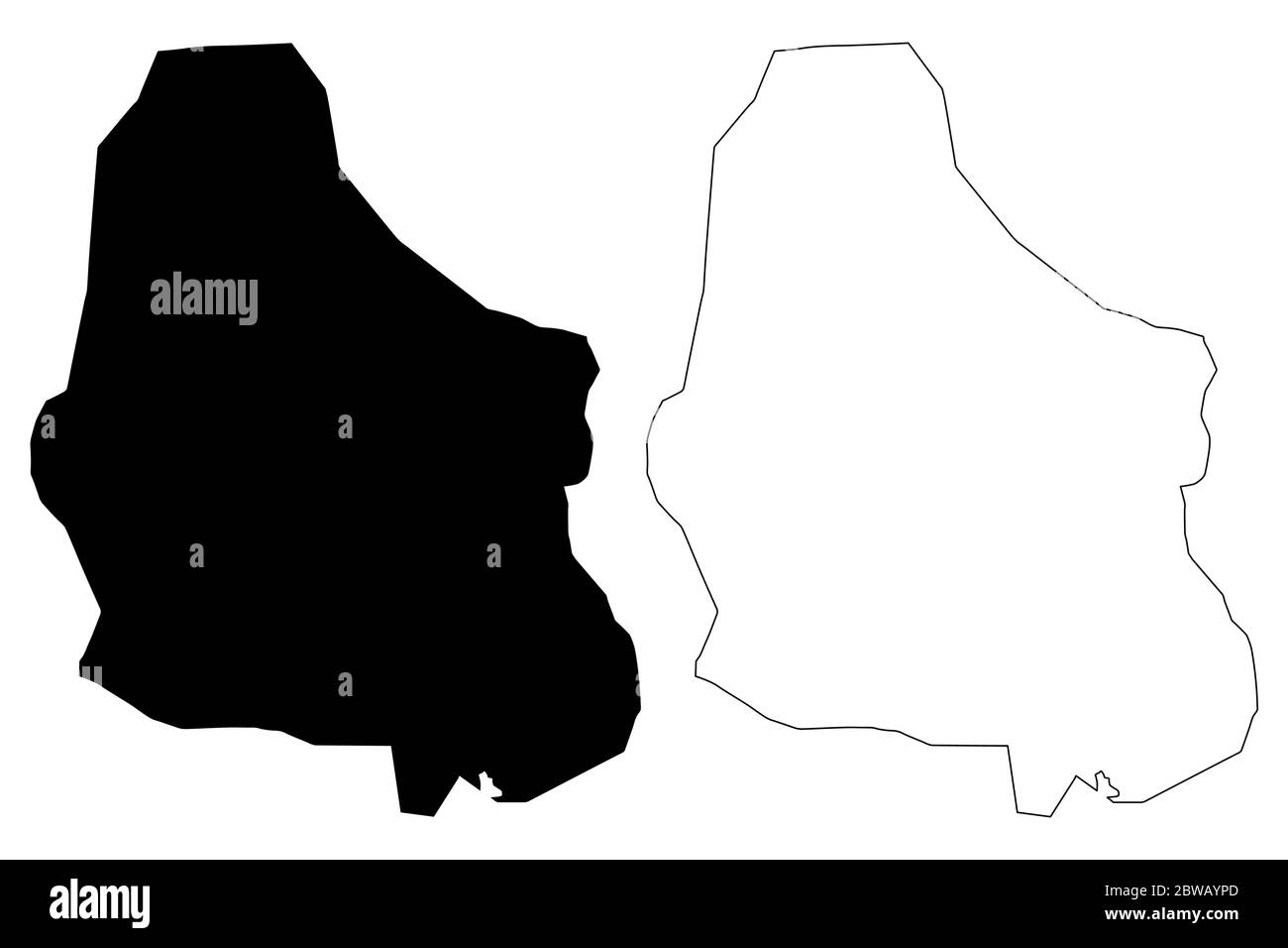 Dharwad City (Republic of India, Karnataka State) map vector illustration, scribble sketch City of Dharwad map Stock Vectorhttps://www.alamy.com/image-license-details/?v=1https://www.alamy.com/dharwad-city-republic-of-india-karnataka-state-map-vector-illustration-scribble-sketch-city-of-dharwad-map-image359815077.html
RF2BWAYPD–Dharwad City (Republic of India, Karnataka State) map vector illustration, scribble sketch City of Dharwad map
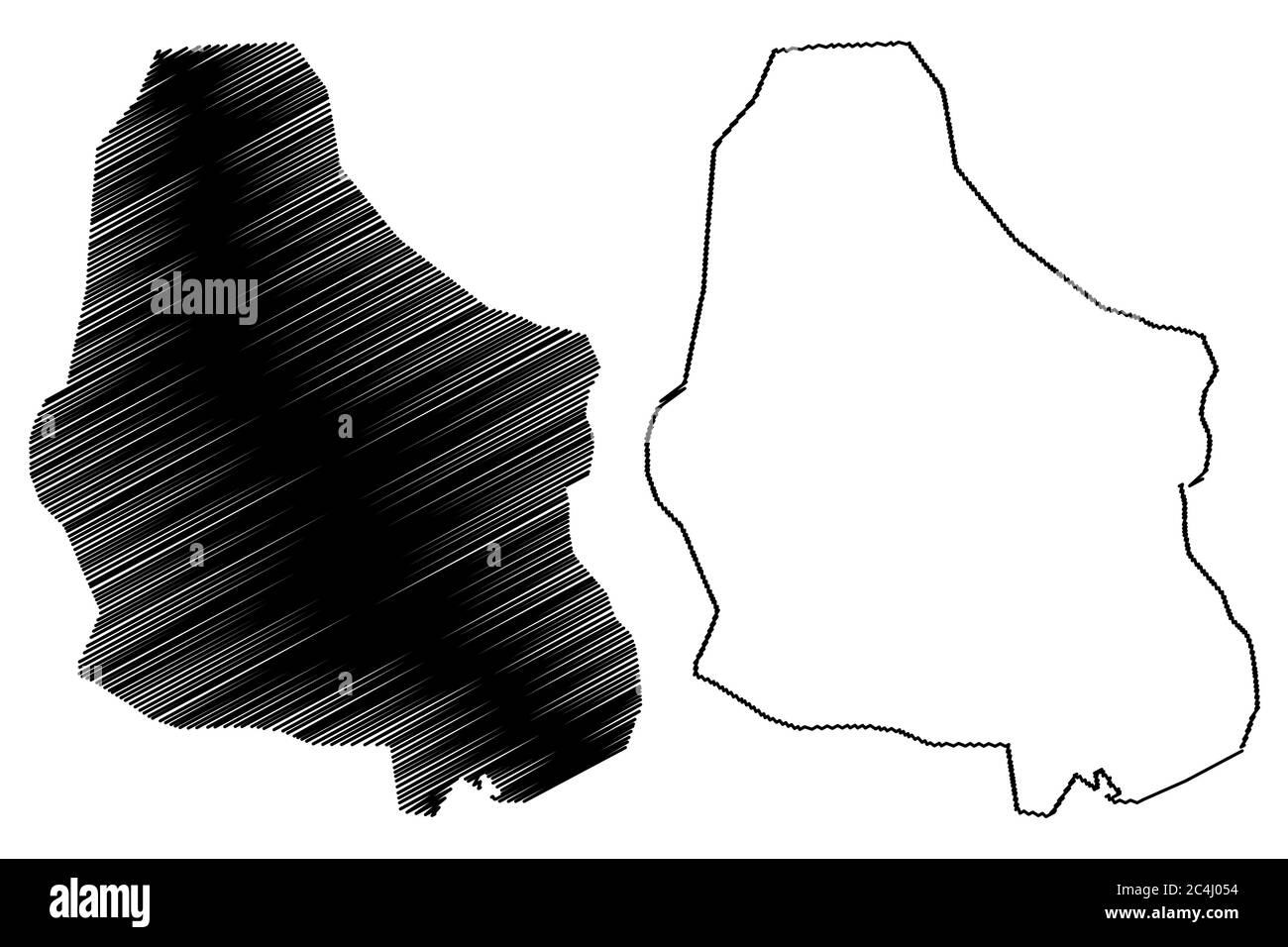 Dharwad City (Republic of India, Karnataka State) map vector illustration, scribble sketch City of Dharwad map Stock Vectorhttps://www.alamy.com/image-license-details/?v=1https://www.alamy.com/dharwad-city-republic-of-india-karnataka-state-map-vector-illustration-scribble-sketch-city-of-dharwad-map-image364271632.html
RF2C4J054–Dharwad City (Republic of India, Karnataka State) map vector illustration, scribble sketch City of Dharwad map
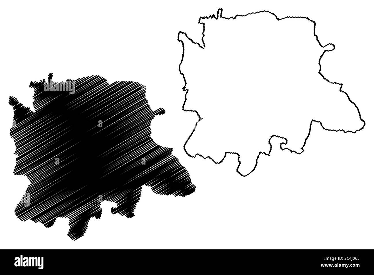 Bangalore City (Republic of India, Karnataka State) map vector illustration, scribble sketch City of Bengaluru map Stock Vectorhttps://www.alamy.com/image-license-details/?v=1https://www.alamy.com/bangalore-city-republic-of-india-karnataka-state-map-vector-illustration-scribble-sketch-city-of-bengaluru-map-image364271661.html
RF2C4J065–Bangalore City (Republic of India, Karnataka State) map vector illustration, scribble sketch City of Bengaluru map
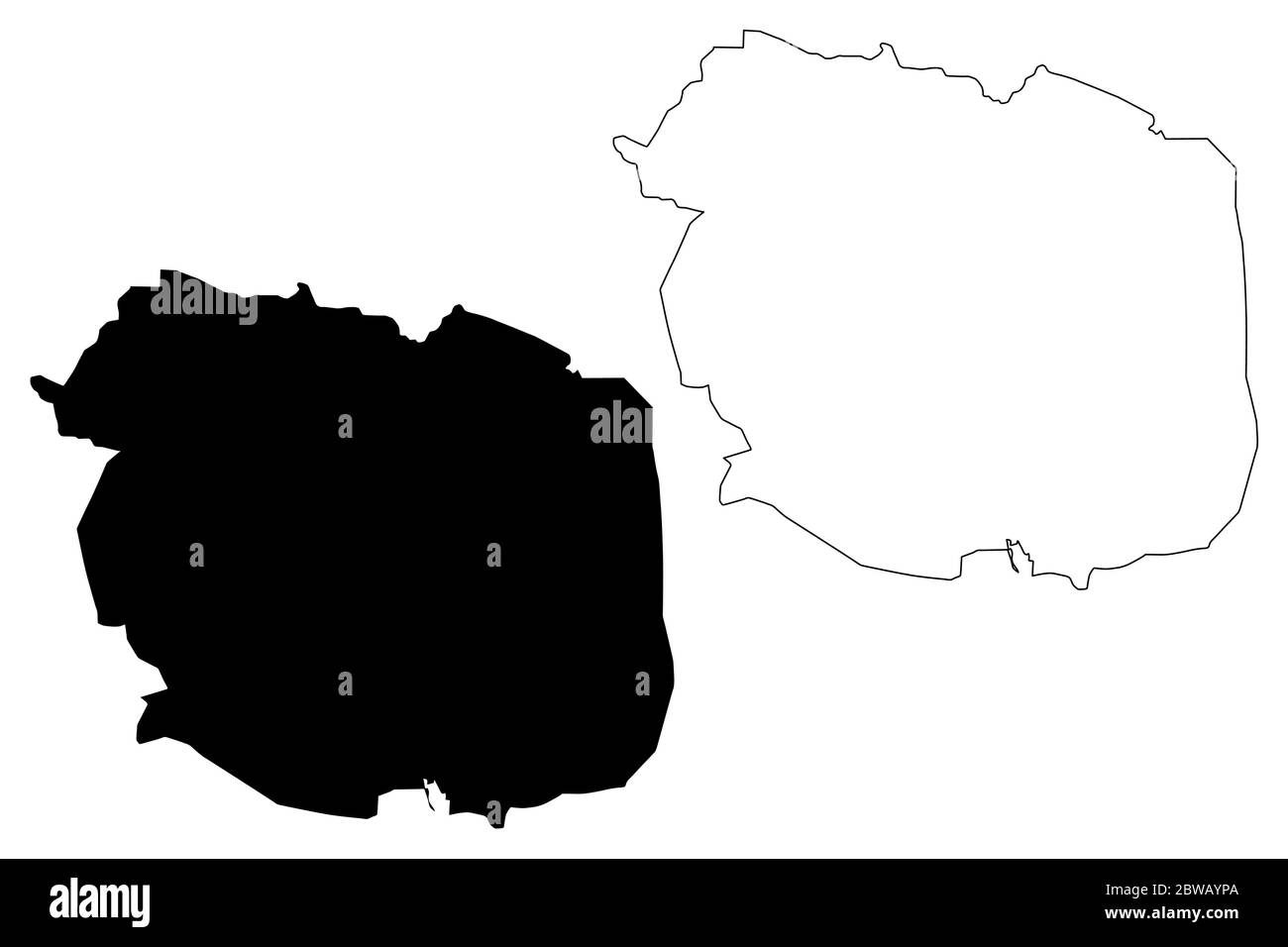 Mysore City (Republic of India, Karnataka State) map vector illustration, scribble sketch City of Mysuru map Stock Vectorhttps://www.alamy.com/image-license-details/?v=1https://www.alamy.com/mysore-city-republic-of-india-karnataka-state-map-vector-illustration-scribble-sketch-city-of-mysuru-map-image359815074.html
RF2BWAYPA–Mysore City (Republic of India, Karnataka State) map vector illustration, scribble sketch City of Mysuru map
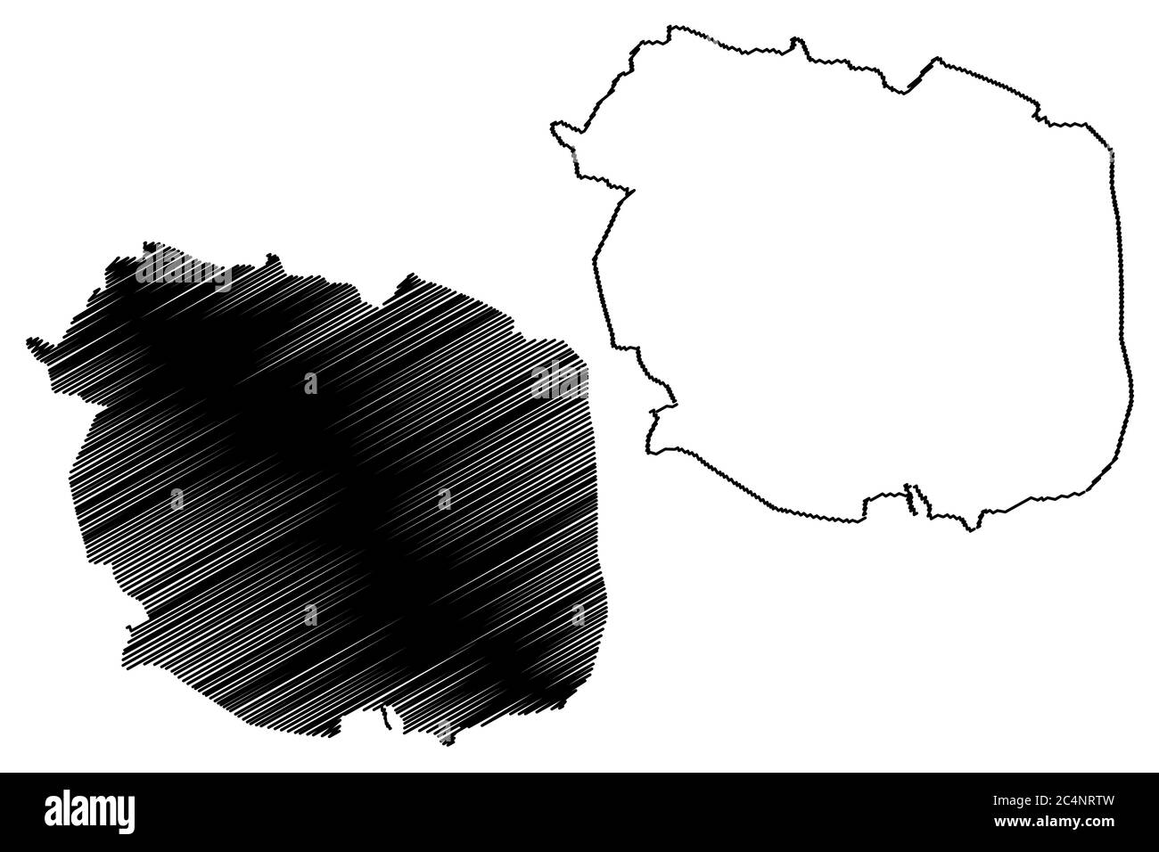 Mysore City (Republic of India, Karnataka State) map vector illustration, scribble sketch City of Mysuru map Stock Vectorhttps://www.alamy.com/image-license-details/?v=1https://www.alamy.com/mysore-city-republic-of-india-karnataka-state-map-vector-illustration-scribble-sketch-city-of-mysuru-map-image364356073.html
RF2C4NRTW–Mysore City (Republic of India, Karnataka State) map vector illustration, scribble sketch City of Mysuru map
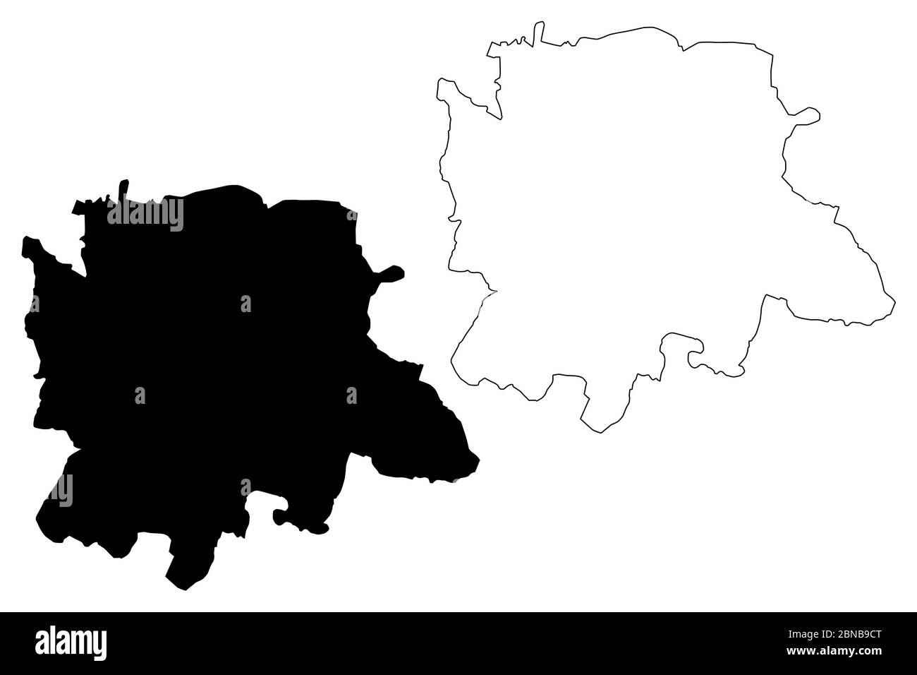 Bangalore City (Republic of India, Karnataka State) map vector illustration, scribble sketch City of Bengaluru map Stock Vectorhttps://www.alamy.com/image-license-details/?v=1https://www.alamy.com/bangalore-city-republic-of-india-karnataka-state-map-vector-illustration-scribble-sketch-city-of-bengaluru-map-image357364024.html
RF2BNB9CT–Bangalore City (Republic of India, Karnataka State) map vector illustration, scribble sketch City of Bengaluru map
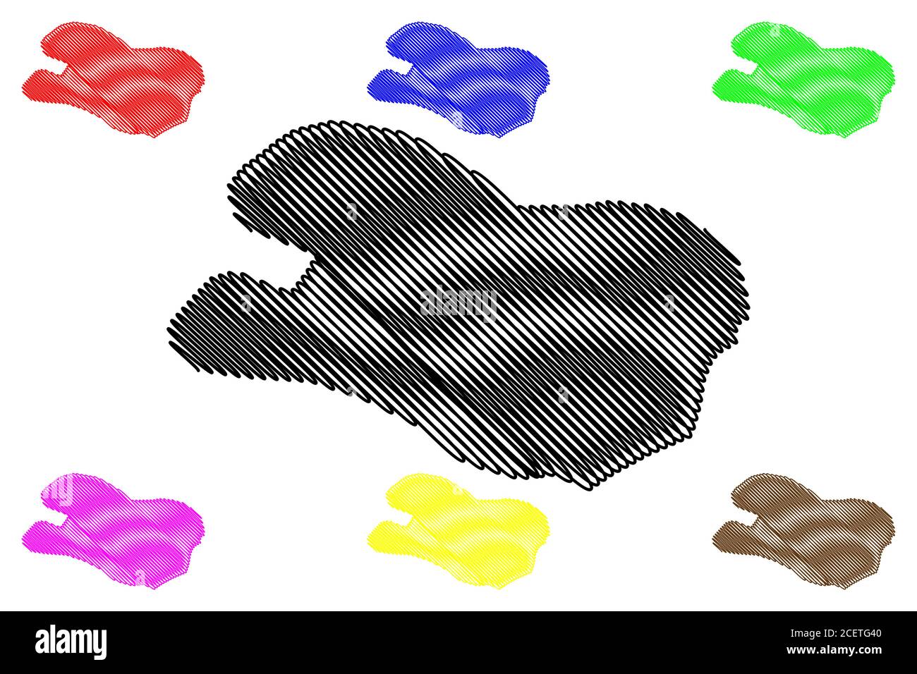 Hubli City (Republic of India, Karnataka State) map vector illustration, scribble sketch City of Hubballi map Stock Vectorhttps://www.alamy.com/image-license-details/?v=1https://www.alamy.com/hubli-city-republic-of-india-karnataka-state-map-vector-illustration-scribble-sketch-city-of-hubballi-map-image370562416.html
RF2CETG40–Hubli City (Republic of India, Karnataka State) map vector illustration, scribble sketch City of Hubballi map
 Hubli City (Republic of India, Karnataka State) map vector illustration, scribble sketch City of Hubballi map Stock Vectorhttps://www.alamy.com/image-license-details/?v=1https://www.alamy.com/hubli-city-republic-of-india-karnataka-state-map-vector-illustration-scribble-sketch-city-of-hubballi-map-image359815080.html
RF2BWAYPG–Hubli City (Republic of India, Karnataka State) map vector illustration, scribble sketch City of Hubballi map
 Hubli City (Republic of India, Karnataka State) map vector illustration, scribble sketch City of Hubballi map Stock Vectorhttps://www.alamy.com/image-license-details/?v=1https://www.alamy.com/hubli-city-republic-of-india-karnataka-state-map-vector-illustration-scribble-sketch-city-of-hubballi-map-image364271759.html
RF2C4J09K–Hubli City (Republic of India, Karnataka State) map vector illustration, scribble sketch City of Hubballi map
 Bangalore City (Republic of India, Karnataka State) map vector illustration, scribble sketch City of Bengaluru map Stock Vectorhttps://www.alamy.com/image-license-details/?v=1https://www.alamy.com/bangalore-city-republic-of-india-karnataka-state-map-vector-illustration-scribble-sketch-city-of-bengaluru-map-image370311140.html
RF2CED3HT–Bangalore City (Republic of India, Karnataka State) map vector illustration, scribble sketch City of Bengaluru map
 Mysore City (Republic of India, Karnataka State) map vector illustration, scribble sketch City of Mysuru map Stock Vectorhttps://www.alamy.com/image-license-details/?v=1https://www.alamy.com/mysore-city-republic-of-india-karnataka-state-map-vector-illustration-scribble-sketch-city-of-mysuru-map-image370715386.html
RF2CF3F76–Mysore City (Republic of India, Karnataka State) map vector illustration, scribble sketch City of Mysuru map
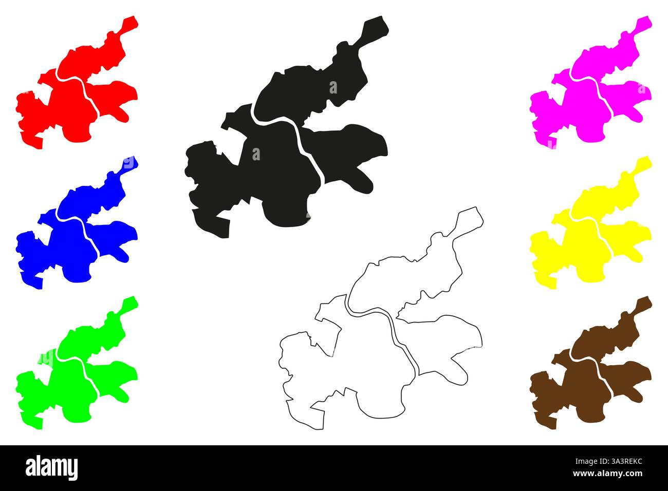 Bhadravati city (Republic of India, State of Karnataka) map vector illustration, scribble sketch Bhadravathi or Steel Town map Stock Vectorhttps://www.alamy.com/image-license-details/?v=1https://www.alamy.com/bhadravati-city-republic-of-india-state-of-karnataka-map-vector-illustration-scribble-sketch-bhadravathi-or-steel-town-map-image656354368.html
RF3A3REKC–Bhadravati city (Republic of India, State of Karnataka) map vector illustration, scribble sketch Bhadravathi or Steel Town map
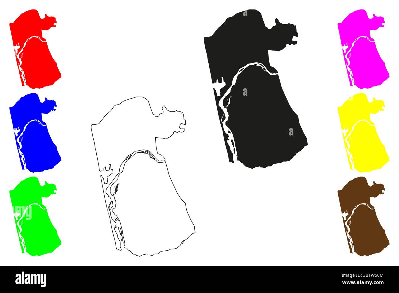 Mangalore city (Republic of India, State of Karnataka) map vector illustration, scribble sketch Kudla, Mangaluru or Kodiyal map Stock Vectorhttps://www.alamy.com/image-license-details/?v=1https://www.alamy.com/mangalore-city-republic-of-india-state-of-karnataka-map-vector-illustration-scribble-sketch-kudla-mangaluru-or-kodiyal-map-image672371748.html
RF3B1W50M–Mangalore city (Republic of India, State of Karnataka) map vector illustration, scribble sketch Kudla, Mangaluru or Kodiyal map
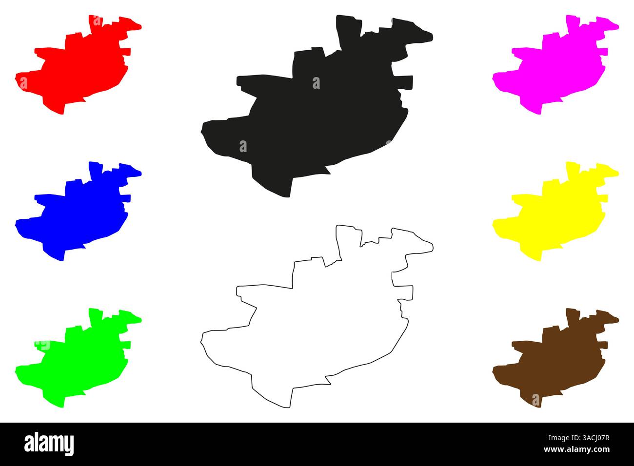 Gadag-Betageri city (Republic of India, State of Karnataka) map vector illustration, scribble sketch Gadag Betageri map Stock Vectorhttps://www.alamy.com/image-license-details/?v=1https://www.alamy.com/gadag-betageri-city-republic-of-india-state-of-karnataka-map-vector-illustration-scribble-sketch-gadag-betageri-map-image661765211.html
RF3ACJ07R–Gadag-Betageri city (Republic of India, State of Karnataka) map vector illustration, scribble sketch Gadag Betageri map
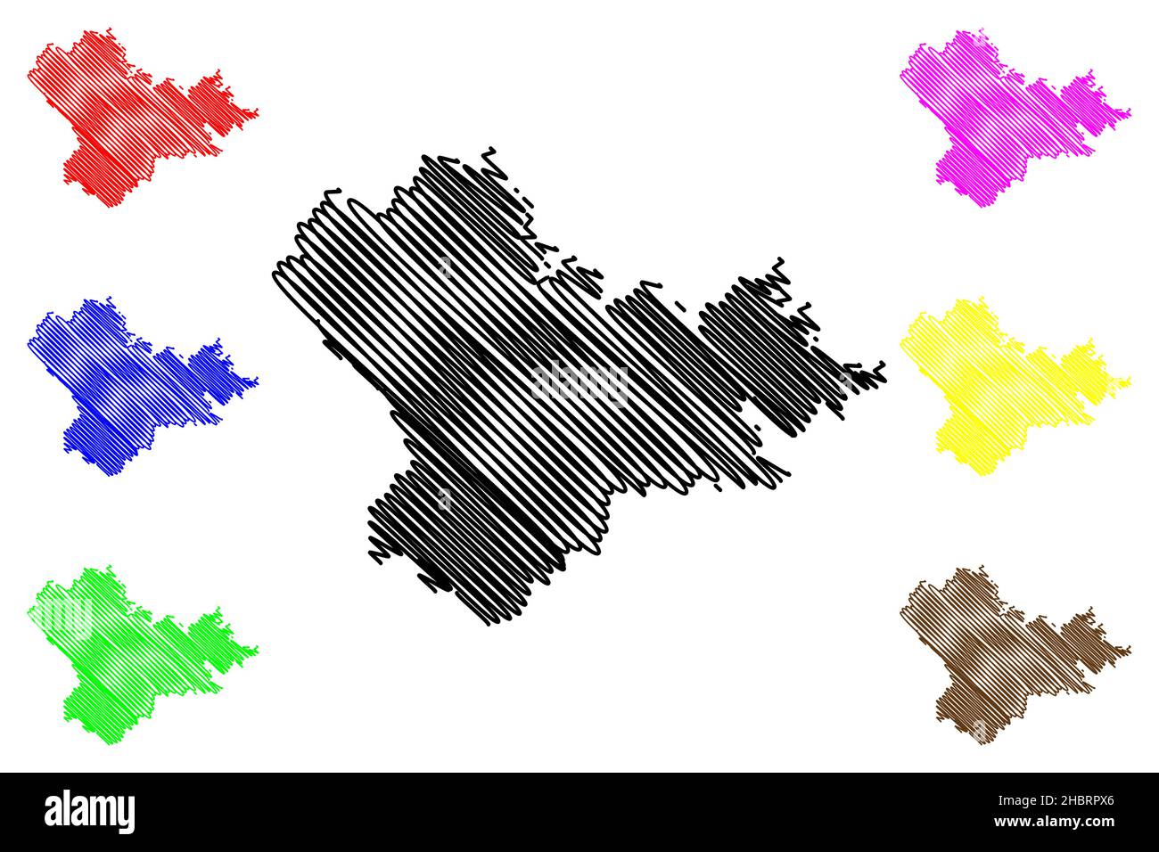 Mysore district (Karnataka State, Republic of India, Mysore division) map vector illustration, scribble sketch Mysore map Stock Vectorhttps://www.alamy.com/image-license-details/?v=1https://www.alamy.com/mysore-district-karnataka-state-republic-of-india-mysore-division-map-vector-illustration-scribble-sketch-mysore-map-image454753662.html
RF2HBRPX6–Mysore district (Karnataka State, Republic of India, Mysore division) map vector illustration, scribble sketch Mysore map
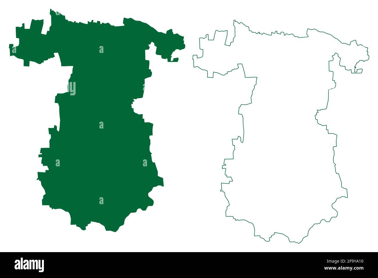 Gadag district (Karnataka State, Republic of India, Belgaum division) map vector illustration, scribble sketch Gadag map Stock Vectorhttps://www.alamy.com/image-license-details/?v=1https://www.alamy.com/gadag-district-karnataka-state-republic-of-india-belgaum-division-map-vector-illustration-scribble-sketch-gadag-map-image419181308.html
RF2F9YA10–Gadag district (Karnataka State, Republic of India, Belgaum division) map vector illustration, scribble sketch Gadag map
 Bellary district (Karnataka State, Republic of India, Gulbarga Division) map vector illustration, scribble sketch Ballari map Stock Vectorhttps://www.alamy.com/image-license-details/?v=1https://www.alamy.com/bellary-district-karnataka-state-republic-of-india-gulbarga-division-map-vector-illustration-scribble-sketch-ballari-map-image442845783.html
RF2GMDA8R–Bellary district (Karnataka State, Republic of India, Gulbarga Division) map vector illustration, scribble sketch Ballari map
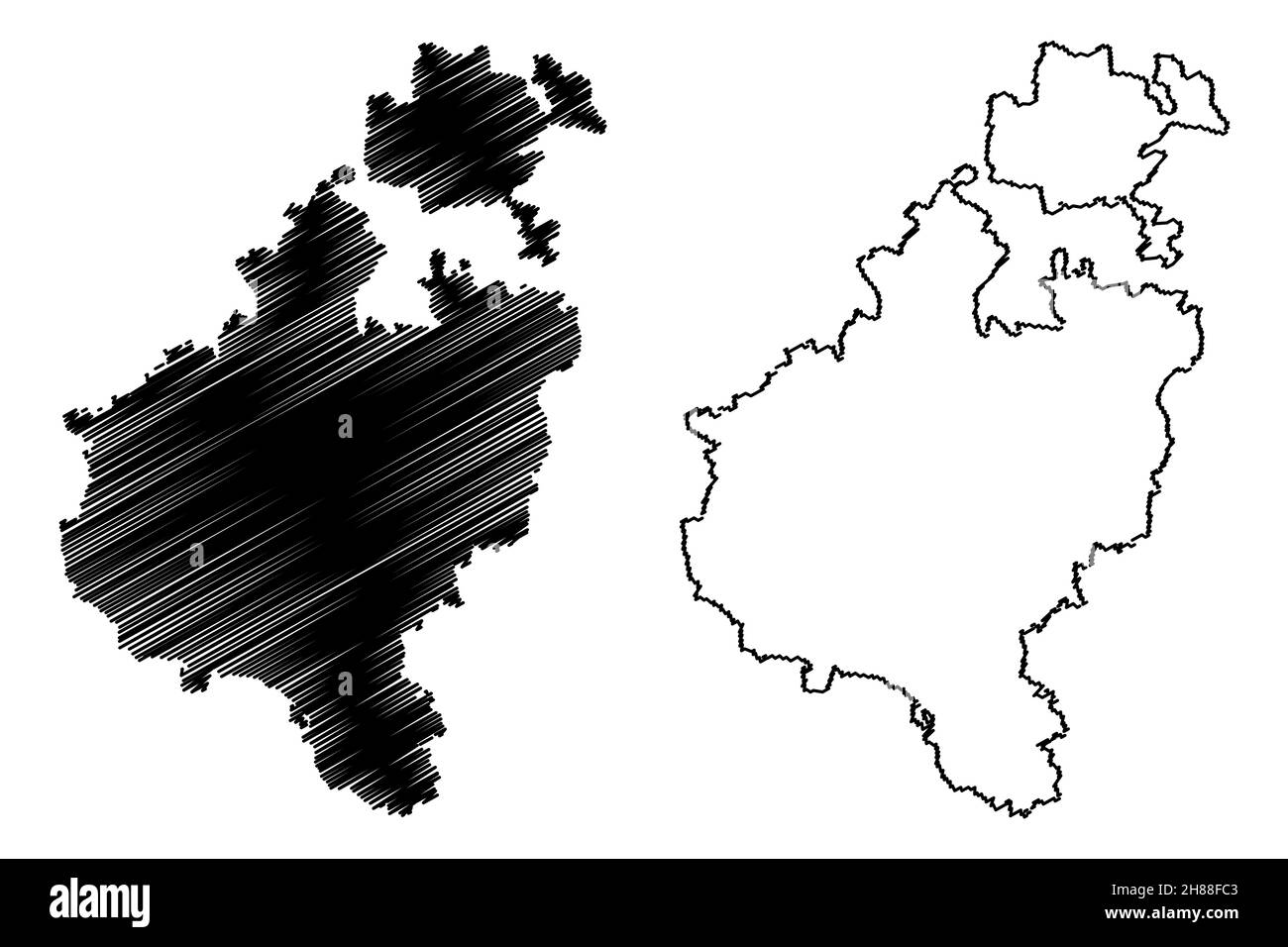 Tumakuru district (Karnataka State, Republic of India, Bangalore Division) map vector illustration, scribble sketch Tumkur map Stock Vectorhttps://www.alamy.com/image-license-details/?v=1https://www.alamy.com/tumakuru-district-karnataka-state-republic-of-india-bangalore-division-map-vector-illustration-scribble-sketch-tumkur-map-image452574531.html
RF2H88FC3–Tumakuru district (Karnataka State, Republic of India, Bangalore Division) map vector illustration, scribble sketch Tumkur map
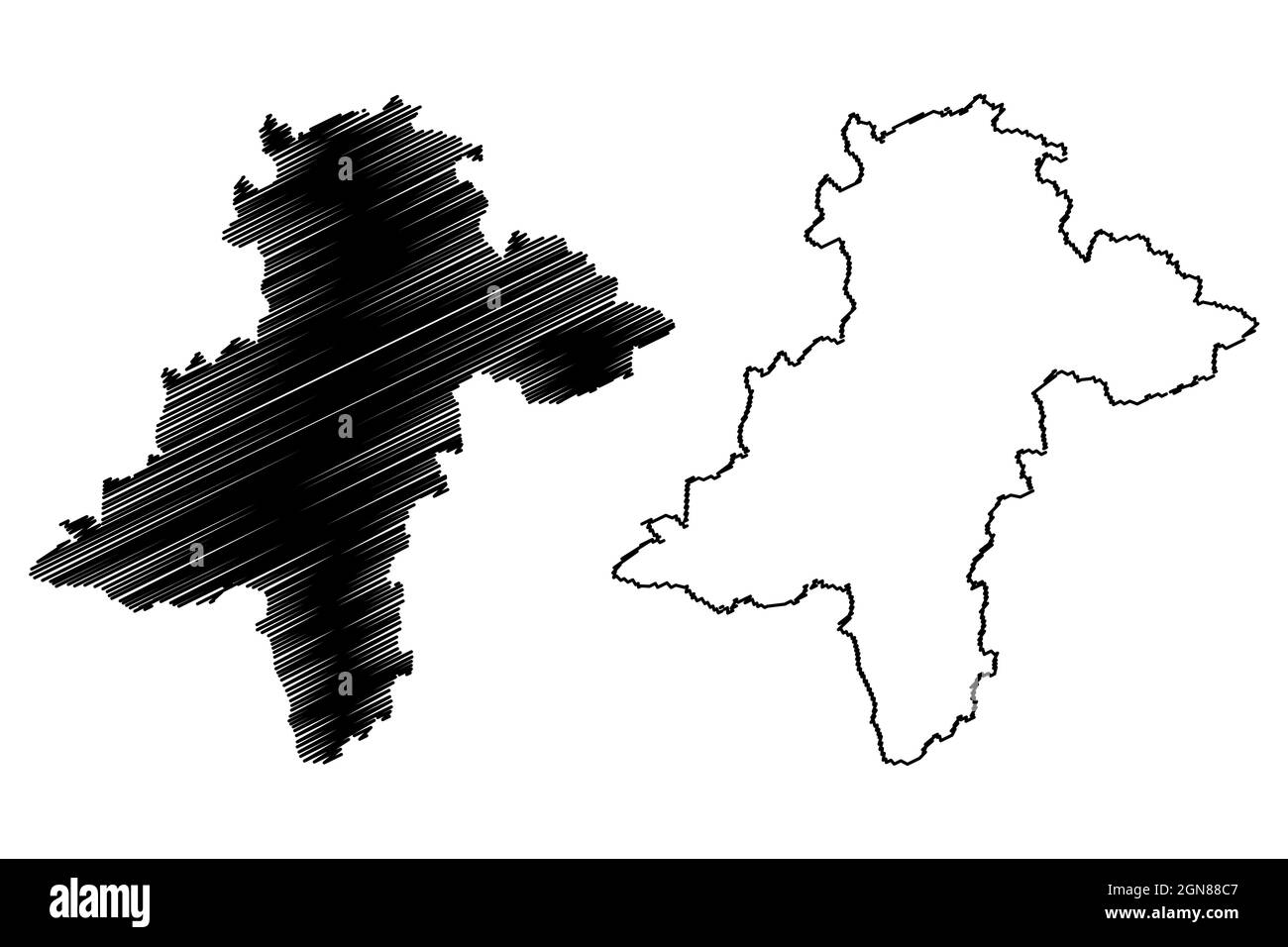 Davanagere district (Karnataka State, Republic of India, Bangalore Division) map vector illustration, scribble sketch Davanagere map Stock Vectorhttps://www.alamy.com/image-license-details/?v=1https://www.alamy.com/davanagere-district-karnataka-state-republic-of-india-bangalore-division-map-vector-illustration-scribble-sketch-davanagere-map-image443349207.html
RF2GN88C7–Davanagere district (Karnataka State, Republic of India, Bangalore Division) map vector illustration, scribble sketch Davanagere map
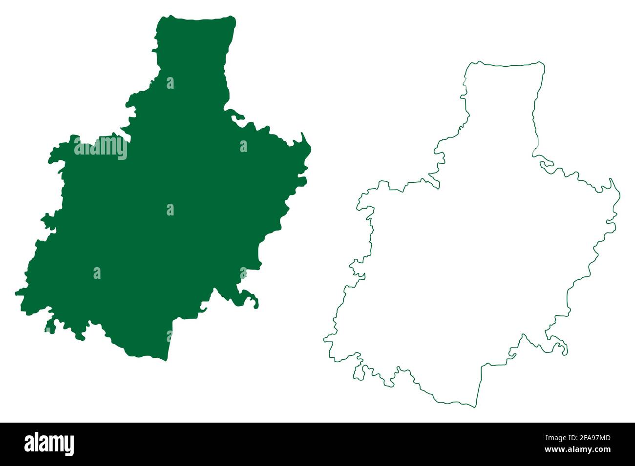 Kolar district (Karnataka State, Republic of India, Bangalore division) map vector illustration, scribble sketch Kolar map Stock Vectorhttps://www.alamy.com/image-license-details/?v=1https://www.alamy.com/kolar-district-karnataka-state-republic-of-india-bangalore-division-map-vector-illustration-scribble-sketch-kolar-map-image419399021.html
RF2FA97MD–Kolar district (Karnataka State, Republic of India, Bangalore division) map vector illustration, scribble sketch Kolar map
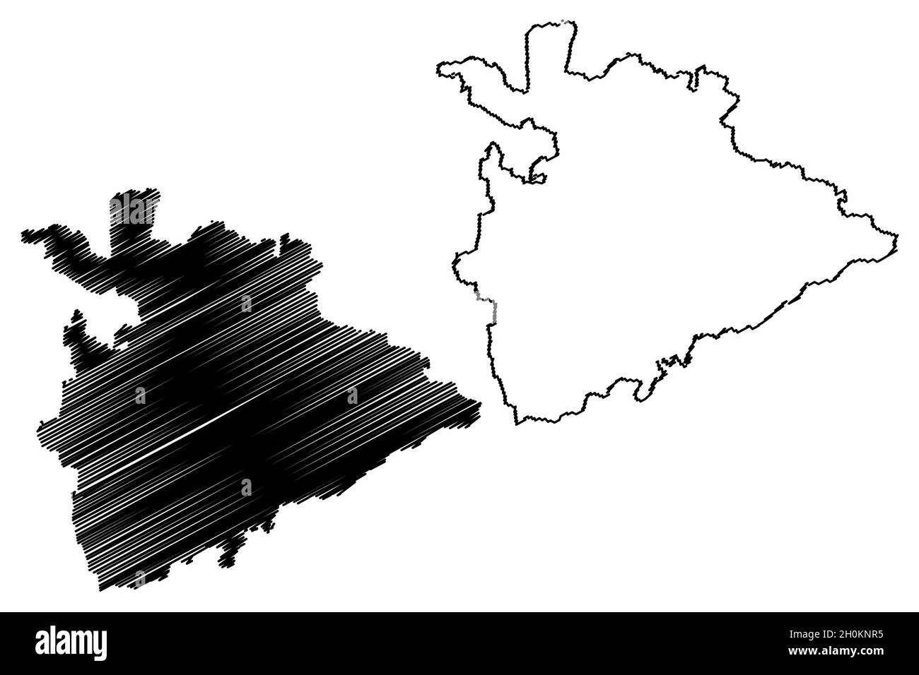 Koppal district (Karnataka State, Republic of India, Gulbarga division) map vector illustration, scribble sketch Koppal map Stock Vectorhttps://www.alamy.com/image-license-details/?v=1https://www.alamy.com/koppal-district-karnataka-state-republic-of-india-gulbarga-division-map-vector-illustration-scribble-sketch-koppal-map-image447903769.html
RF2H0KNR5–Koppal district (Karnataka State, Republic of India, Gulbarga division) map vector illustration, scribble sketch Koppal map
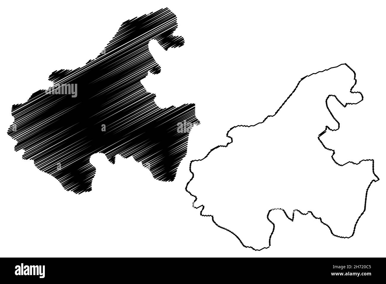 Vijayanagara district (Karnataka State, Republic of India, Gulbarga Division) map vector illustration, scribble sketch Vijayanagara map Stock Vectorhttps://www.alamy.com/image-license-details/?v=1https://www.alamy.com/vijayanagara-district-karnataka-state-republic-of-india-gulbarga-division-map-vector-illustration-scribble-sketch-vijayanagara-map-image451816405.html
RF2H720C5–Vijayanagara district (Karnataka State, Republic of India, Gulbarga Division) map vector illustration, scribble sketch Vijayanagara map
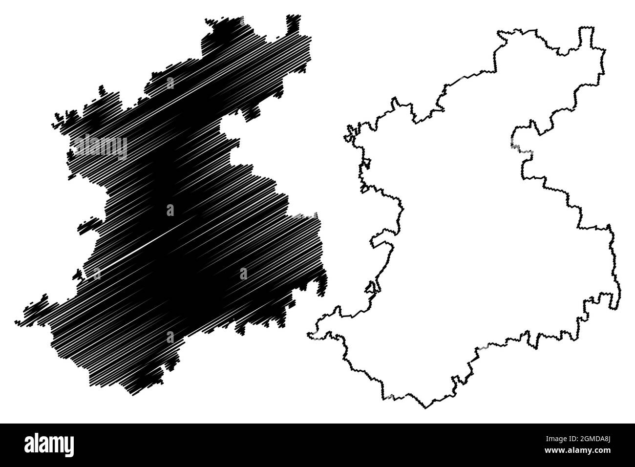 Belagavi district (Karnataka State, Republic of India, Belgaum division) map vector illustration, scribble sketch Belgaum map Stock Vectorhttps://www.alamy.com/image-license-details/?v=1https://www.alamy.com/belagavi-district-karnataka-state-republic-of-india-belgaum-division-map-vector-illustration-scribble-sketch-belgaum-map-image442845778.html
RF2GMDA8J–Belagavi district (Karnataka State, Republic of India, Belgaum division) map vector illustration, scribble sketch Belgaum map
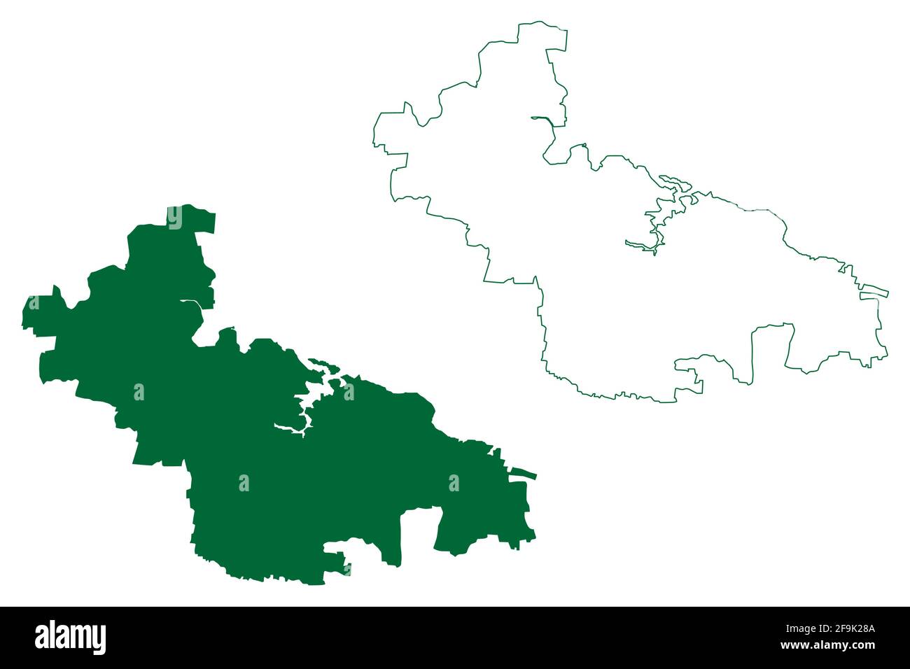 Bagalkot district (Karnataka State, Republic of India, Belgaum Division) map vector illustration, scribble sketch Bagalkot map Stock Vectorhttps://www.alamy.com/image-license-details/?v=1https://www.alamy.com/bagalkot-district-karnataka-state-republic-of-india-belgaum-division-map-vector-illustration-scribble-sketch-bagalkot-map-image418999626.html
RF2F9K28A–Bagalkot district (Karnataka State, Republic of India, Belgaum Division) map vector illustration, scribble sketch Bagalkot map
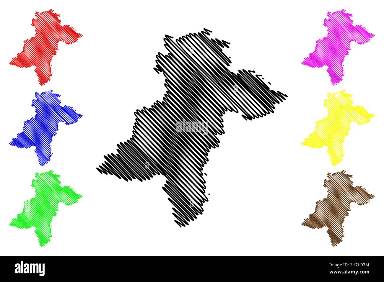 Davanagere district (Karnataka State, Republic of India, Bangalore Division) map vector illustration, scribble sketch Davanagere map Stock Vectorhttps://www.alamy.com/image-license-details/?v=1https://www.alamy.com/davanagere-district-karnataka-state-republic-of-india-bangalore-division-map-vector-illustration-scribble-sketch-davanagere-map-image452152616.html
RF2H7H97M–Davanagere district (Karnataka State, Republic of India, Bangalore Division) map vector illustration, scribble sketch Davanagere map
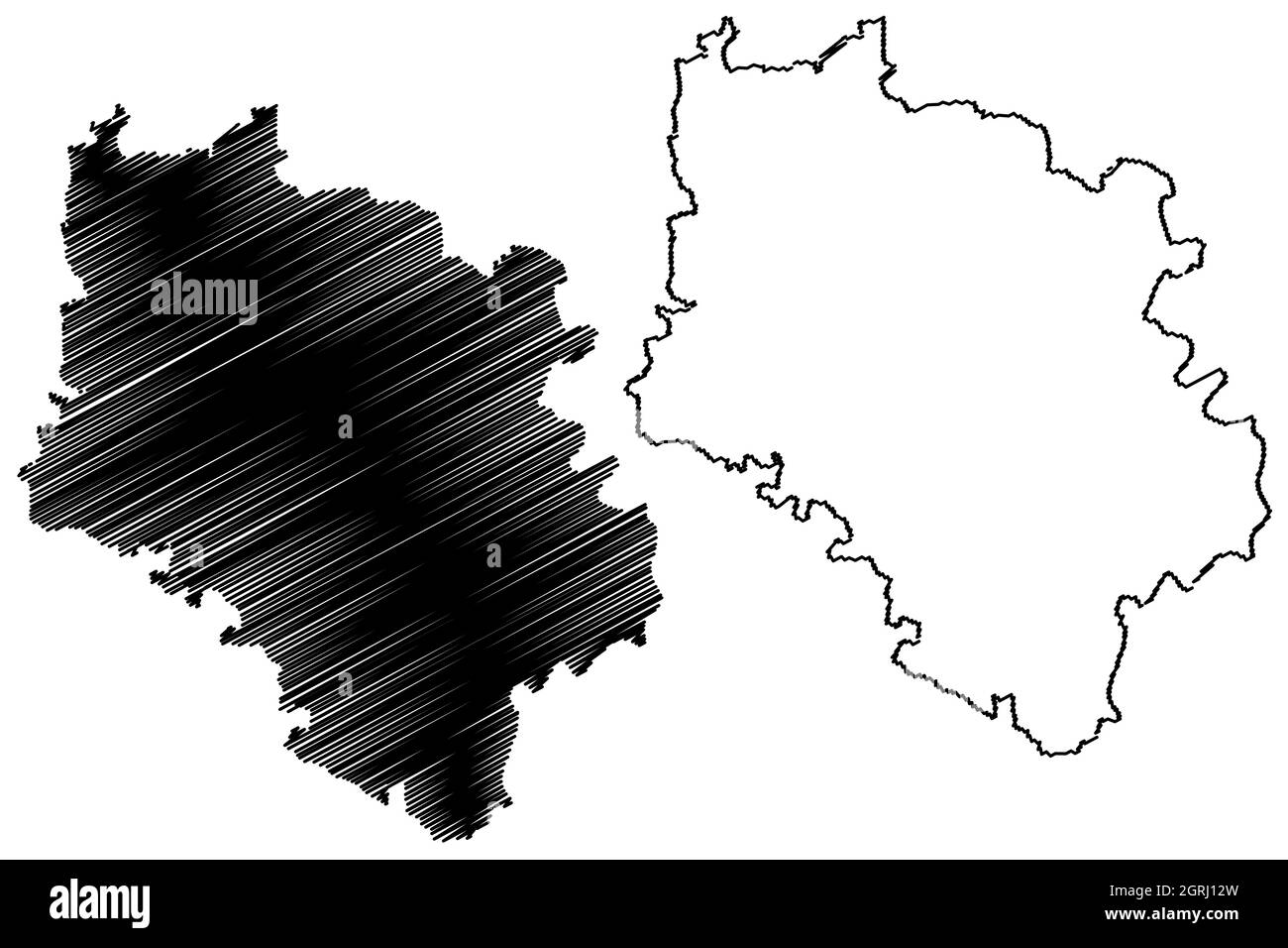 Haveri district (Karnataka State, Republic of India, Belgaum division) map vector illustration, scribble sketch Haveri map Stock Vectorhttps://www.alamy.com/image-license-details/?v=1https://www.alamy.com/haveri-district-karnataka-state-republic-of-india-belgaum-division-map-vector-illustration-scribble-sketch-haveri-map-image444792289.html
RF2GRJ12W–Haveri district (Karnataka State, Republic of India, Belgaum division) map vector illustration, scribble sketch Haveri map
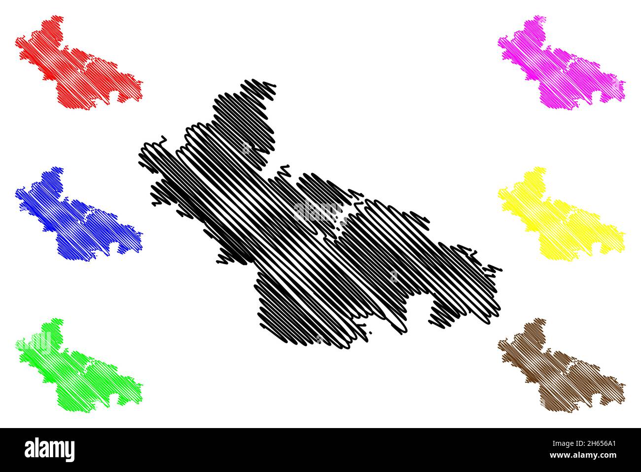 Bagalkot district (Karnataka State, Republic of India, Belgaum Division) map vector illustration, scribble sketch Bagalkot map Stock Vectorhttps://www.alamy.com/image-license-details/?v=1https://www.alamy.com/bagalkot-district-karnataka-state-republic-of-india-belgaum-division-map-vector-illustration-scribble-sketch-bagalkot-map-image451272249.html
RF2H656A1–Bagalkot district (Karnataka State, Republic of India, Belgaum Division) map vector illustration, scribble sketch Bagalkot map
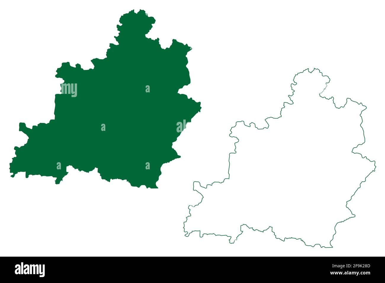 Bidar district (Karnataka State, Republic of India, Gulbarga Division) map vector illustration, scribble sketch Bidar map Stock Vectorhttps://www.alamy.com/image-license-details/?v=1https://www.alamy.com/bidar-district-karnataka-state-republic-of-india-gulbarga-division-map-vector-illustration-scribble-sketch-bidar-map-image418999629.html
RF2F9K28D–Bidar district (Karnataka State, Republic of India, Gulbarga Division) map vector illustration, scribble sketch Bidar map
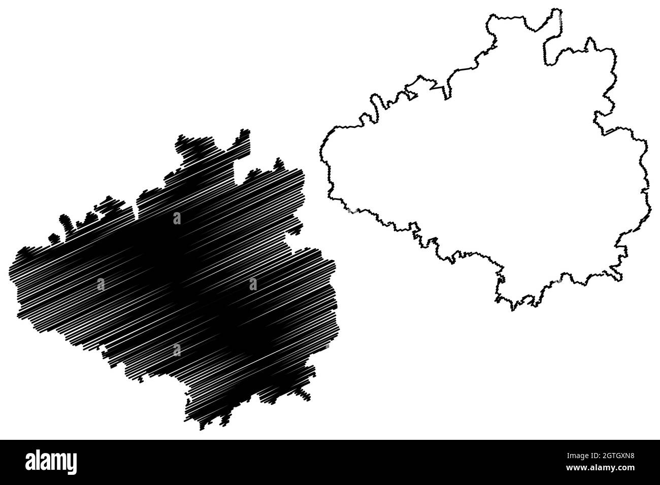 Chikkaballapura district (Karnataka State, Republic of India, Bangalore Division) map vector illustration, scribble sketch Chikkaballapura map Stock Vectorhttps://www.alamy.com/image-license-details/?v=1https://www.alamy.com/chikkaballapura-district-karnataka-state-republic-of-india-bangalore-division-map-vector-illustration-scribble-sketch-chikkaballapura-map-image445383156.html
RF2GTGXN8–Chikkaballapura district (Karnataka State, Republic of India, Bangalore Division) map vector illustration, scribble sketch Chikkaballapura map
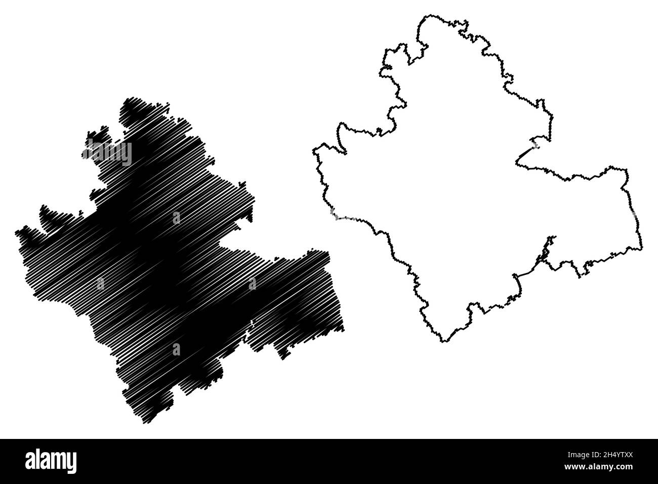 Shimoga district (Karnataka State, Republic of India, Bangalore Division) map vector illustration, scribble sketch Shivamogga map Stock Vectorhttps://www.alamy.com/image-license-details/?v=1https://www.alamy.com/shimoga-district-karnataka-state-republic-of-india-bangalore-division-map-vector-illustration-scribble-sketch-shivamogga-map-image450540466.html
RF2H4YTXX–Shimoga district (Karnataka State, Republic of India, Bangalore Division) map vector illustration, scribble sketch Shivamogga map
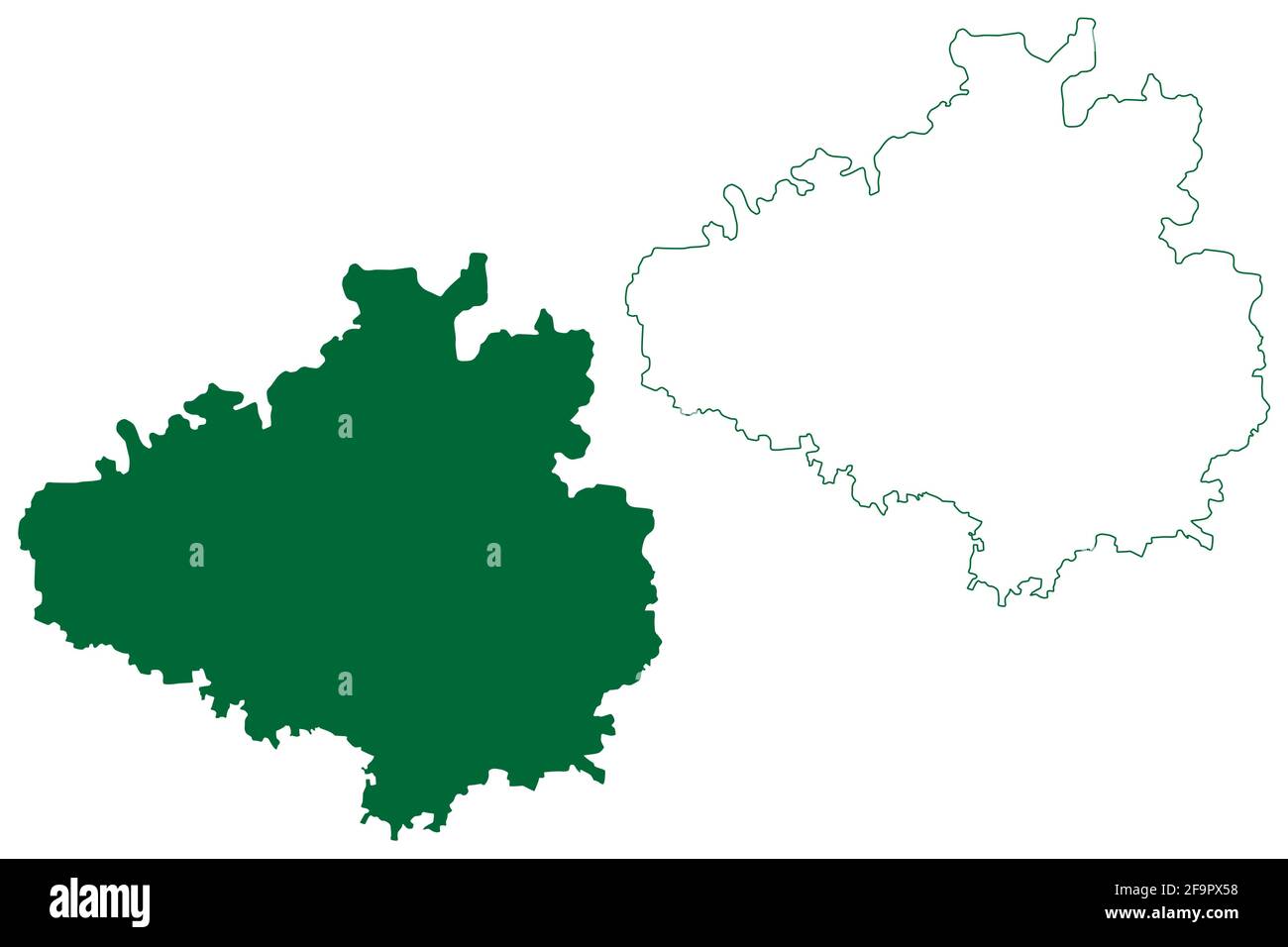 Chikkaballapura district (Karnataka State, Republic of India, Bangalore Division) map vector illustration, scribble sketch Chikkaballapura map Stock Vectorhttps://www.alamy.com/image-license-details/?v=1https://www.alamy.com/chikkaballapura-district-karnataka-state-republic-of-india-bangalore-division-map-vector-illustration-scribble-sketch-chikkaballapura-map-image419084212.html
RF2F9PX58–Chikkaballapura district (Karnataka State, Republic of India, Bangalore Division) map vector illustration, scribble sketch Chikkaballapura map
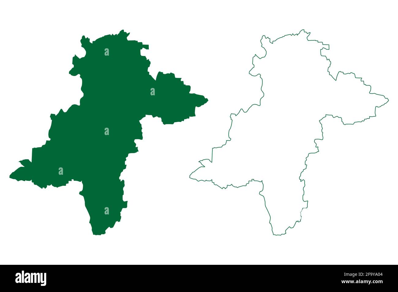 Davanagere district (Karnataka State, Republic of India, Bangalore Division) map vector illustration, scribble sketch Davanagere map Stock Vectorhttps://www.alamy.com/image-license-details/?v=1https://www.alamy.com/davanagere-district-karnataka-state-republic-of-india-bangalore-division-map-vector-illustration-scribble-sketch-davanagere-map-image419181284.html
RF2F9YA04–Davanagere district (Karnataka State, Republic of India, Bangalore Division) map vector illustration, scribble sketch Davanagere map
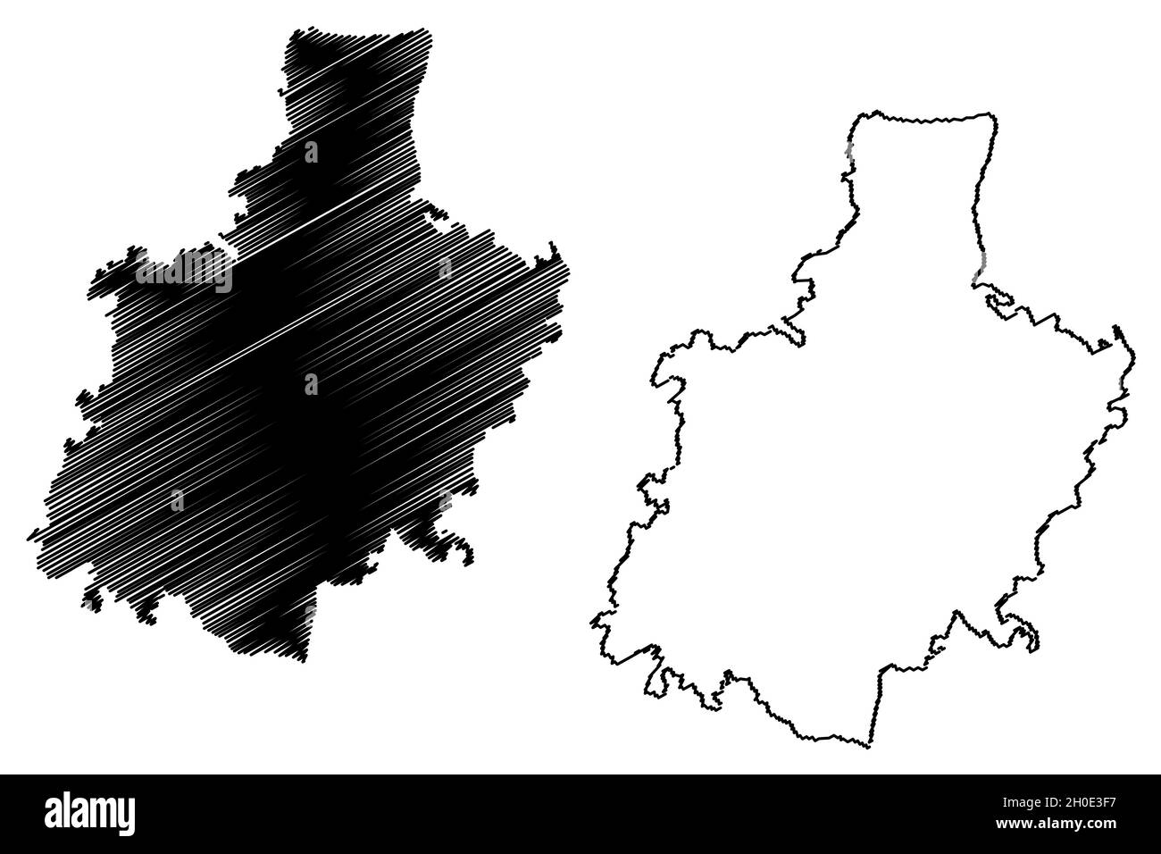 Kolar district (Karnataka State, Republic of India, Bangalore division) map vector illustration, scribble sketch Kolar map Stock Vectorhttps://www.alamy.com/image-license-details/?v=1https://www.alamy.com/kolar-district-karnataka-state-republic-of-india-bangalore-division-map-vector-illustration-scribble-sketch-kolar-map-image447779675.html
RF2H0E3F7–Kolar district (Karnataka State, Republic of India, Bangalore division) map vector illustration, scribble sketch Kolar map
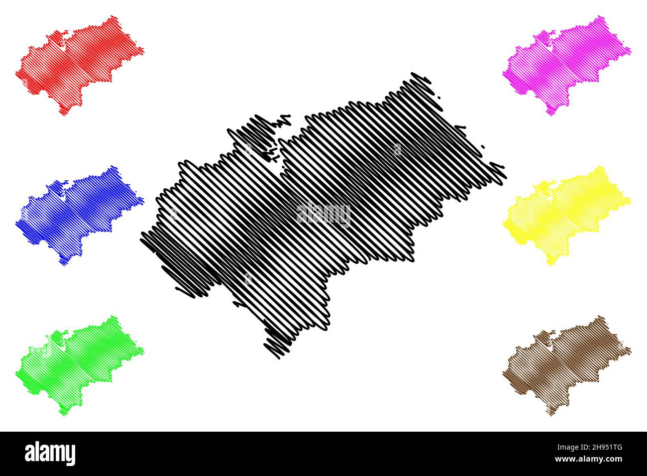 Chikmagalur district (Karnataka State, Republic of India, Mysore Division) map vector illustration, scribble sketch Chikkamagaluru map Stock Vectorhttps://www.alamy.com/image-license-details/?v=1https://www.alamy.com/chikmagalur-district-karnataka-state-republic-of-india-mysore-division-map-vector-illustration-scribble-sketch-chikkamagaluru-map-image453112704.html
RF2H951TG–Chikmagalur district (Karnataka State, Republic of India, Mysore Division) map vector illustration, scribble sketch Chikkamagaluru map
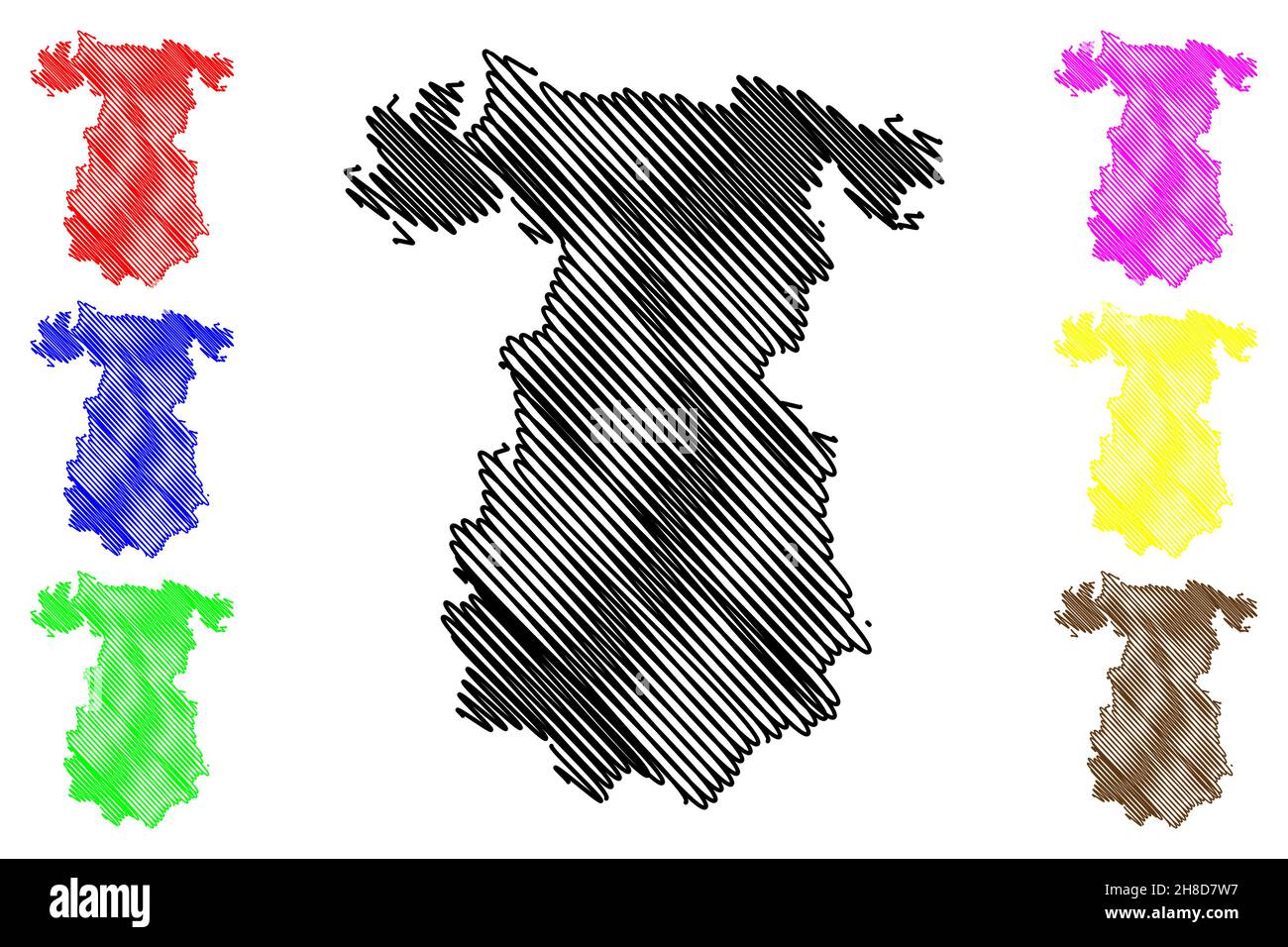 Gadag district (Karnataka State, Republic of India, Belgaum division) map vector illustration, scribble sketch Gadag map Stock Vectorhttps://www.alamy.com/image-license-details/?v=1https://www.alamy.com/gadag-district-karnataka-state-republic-of-india-belgaum-division-map-vector-illustration-scribble-sketch-gadag-map-image452678387.html
RF2H8D7W7–Gadag district (Karnataka State, Republic of India, Belgaum division) map vector illustration, scribble sketch Gadag map
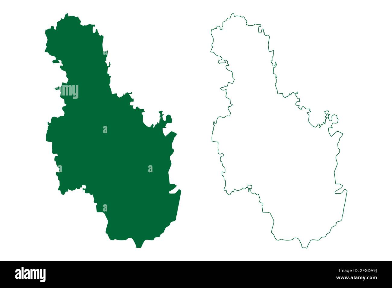 Ramanagara district (Karnataka State, Republic of India, Bangalore Division) map vector illustration, scribble sketch Ramanagara map Stock Vectorhttps://www.alamy.com/image-license-details/?v=1https://www.alamy.com/ramanagara-district-karnataka-state-republic-of-india-bangalore-division-map-vector-illustration-scribble-sketch-ramanagara-map-image423176814.html
RF2FGDA9J–Ramanagara district (Karnataka State, Republic of India, Bangalore Division) map vector illustration, scribble sketch Ramanagara map
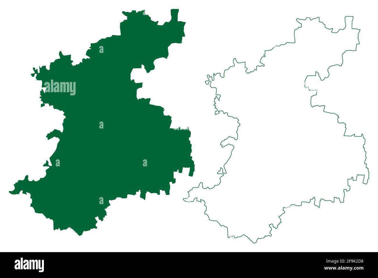 Belagavi district (Karnataka State, Republic of India, Belgaum division) map vector illustration, scribble sketch Belgaum map Stock Vectorhttps://www.alamy.com/image-license-details/?v=1https://www.alamy.com/belagavi-district-karnataka-state-republic-of-india-belgaum-division-map-vector-illustration-scribble-sketch-belgaum-map-image418999764.html
RF2F9K2D8–Belagavi district (Karnataka State, Republic of India, Belgaum division) map vector illustration, scribble sketch Belgaum map
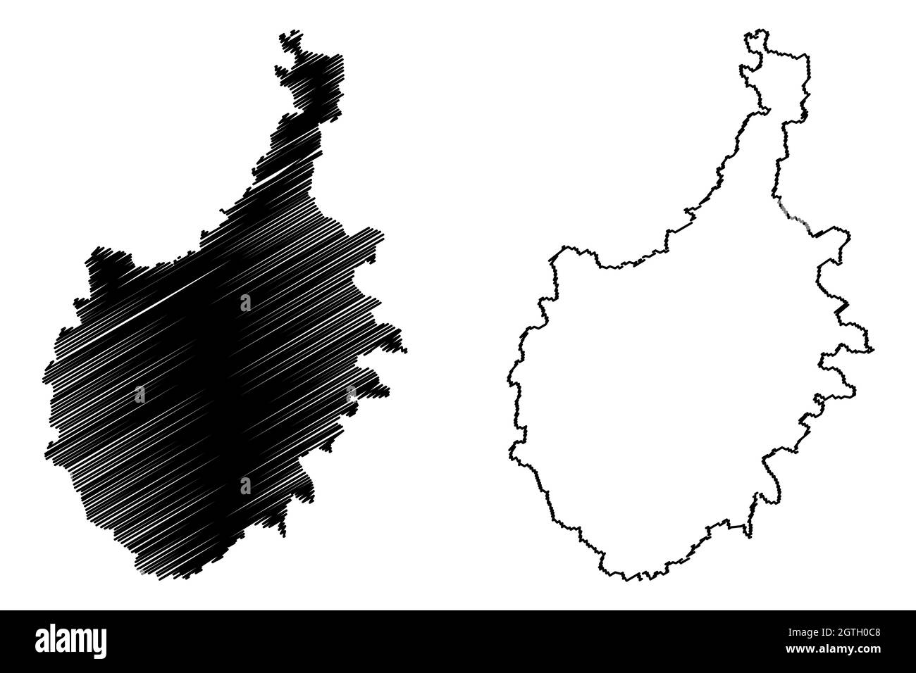 Chitradurga district (Karnataka State, Republic of India, Bangalore Division) map vector illustration, scribble sketch Chitradurga map Stock Vectorhttps://www.alamy.com/image-license-details/?v=1https://www.alamy.com/chitradurga-district-karnataka-state-republic-of-india-bangalore-division-map-vector-illustration-scribble-sketch-chitradurga-map-image445384472.html
RF2GTH0C8–Chitradurga district (Karnataka State, Republic of India, Bangalore Division) map vector illustration, scribble sketch Chitradurga map
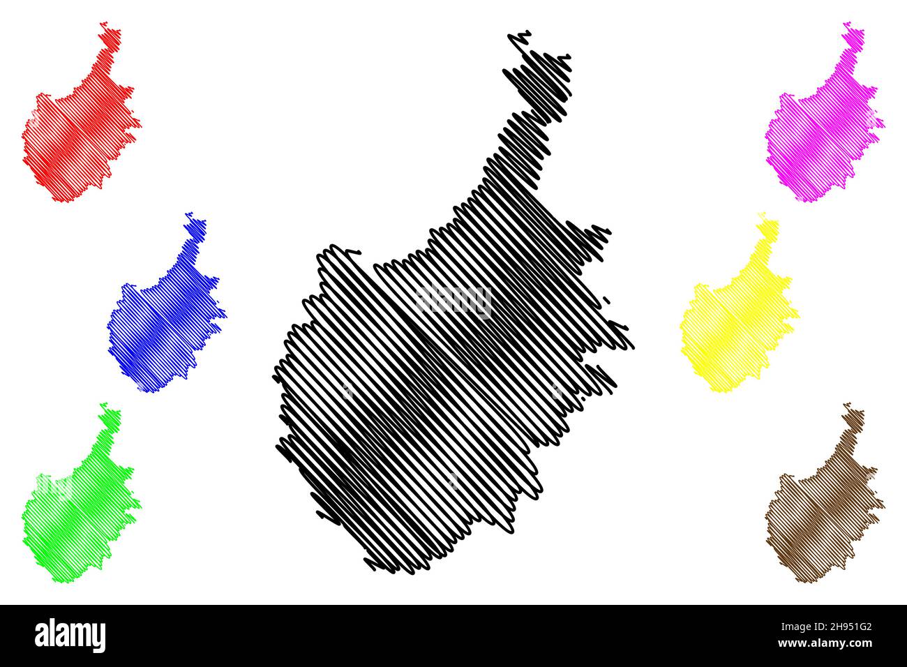 Chitradurga district (Karnataka State, Republic of India, Bangalore Division) map vector illustration, scribble sketch Chitradurga map Stock Vectorhttps://www.alamy.com/image-license-details/?v=1https://www.alamy.com/chitradurga-district-karnataka-state-republic-of-india-bangalore-division-map-vector-illustration-scribble-sketch-chitradurga-map-image453112466.html
RF2H951G2–Chitradurga district (Karnataka State, Republic of India, Bangalore Division) map vector illustration, scribble sketch Chitradurga map
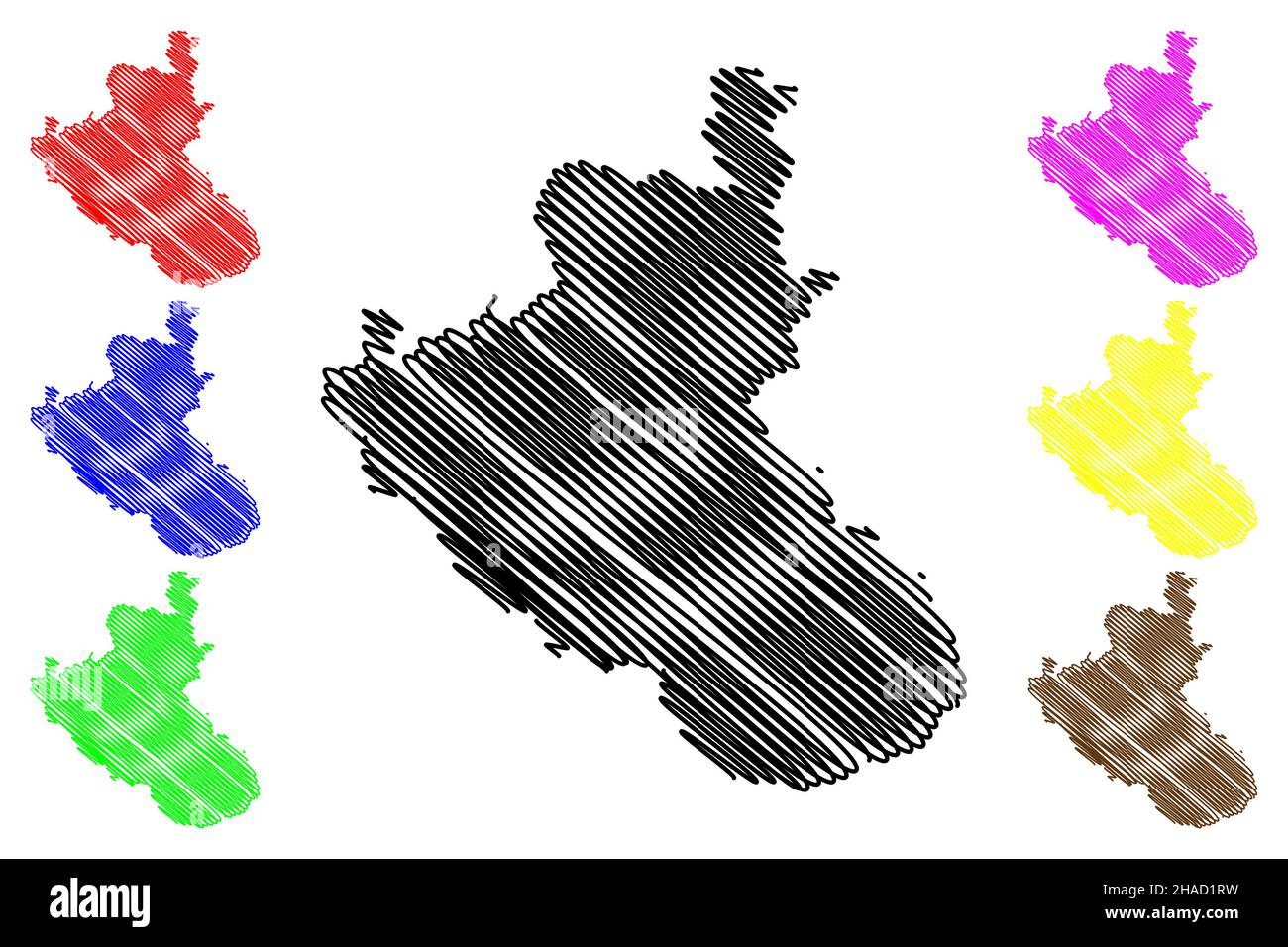 Kodagu district (Karnataka State, Republic of India, Mysore division) map vector illustration, scribble sketch Coorg map Stock Vectorhttps://www.alamy.com/image-license-details/?v=1https://www.alamy.com/kodagu-district-karnataka-state-republic-of-india-mysore-division-map-vector-illustration-scribble-sketch-coorg-map-image453902957.html
RF2HAD1RW–Kodagu district (Karnataka State, Republic of India, Mysore division) map vector illustration, scribble sketch Coorg map