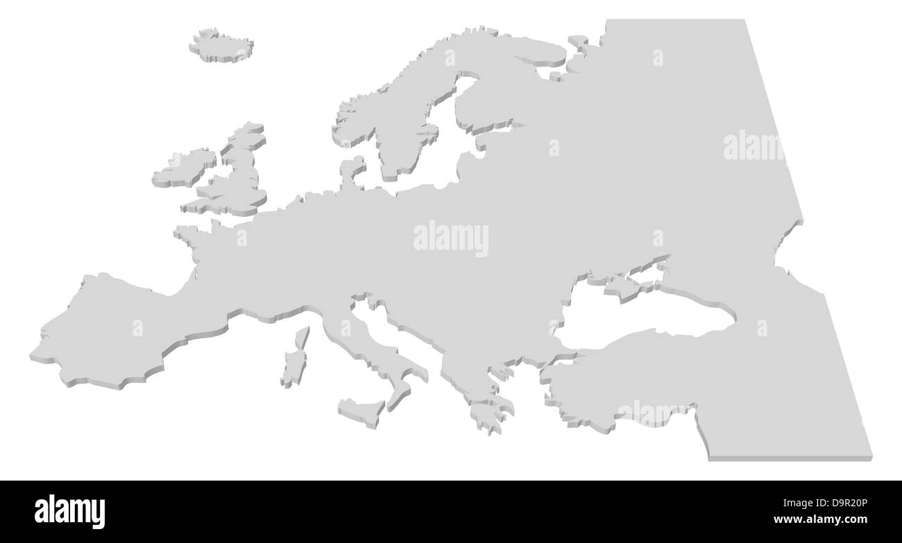
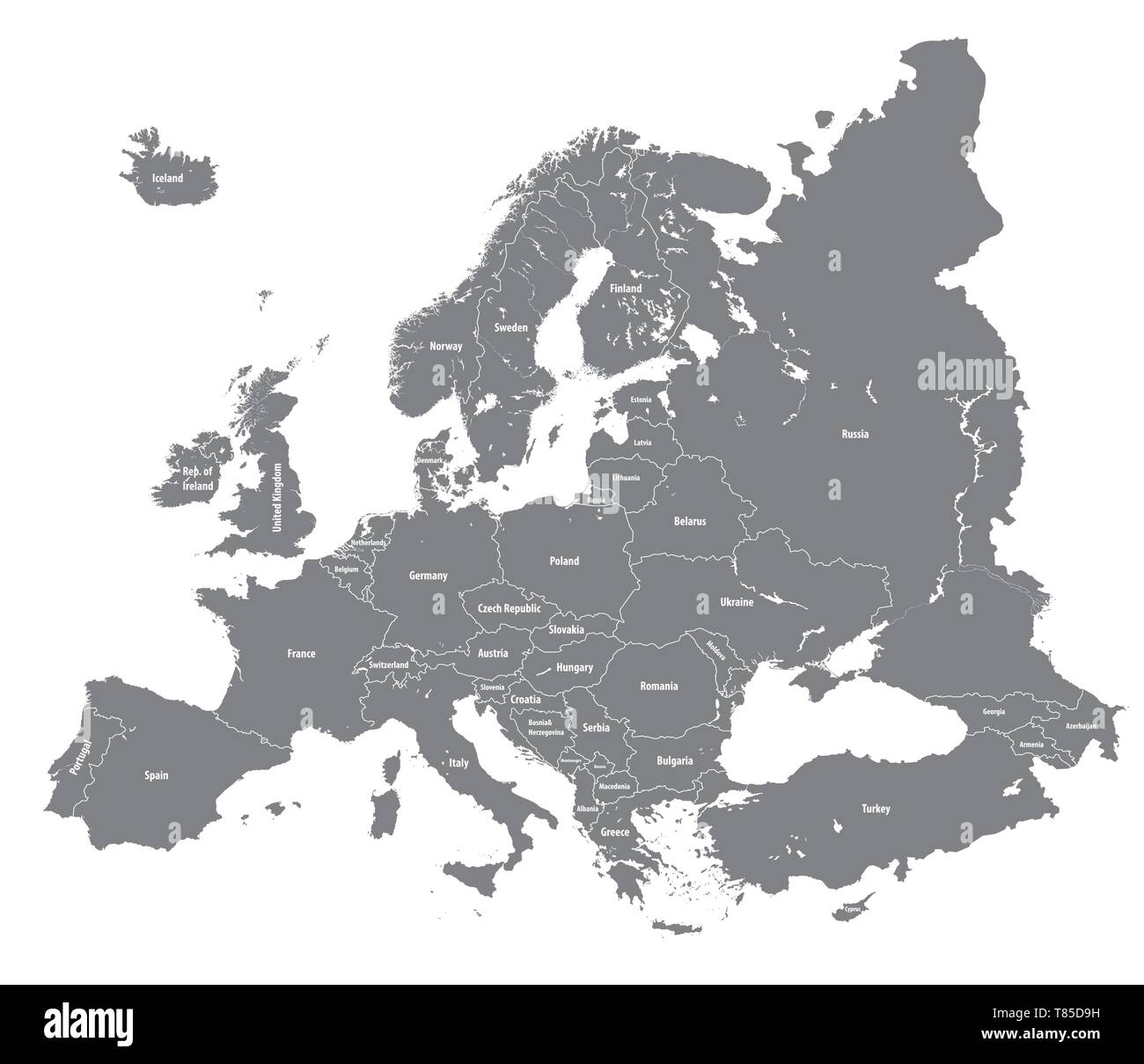
Italy austria switzerland map Cut Out Stock Images
(148)See italy austria switzerland map stock video clipsItaly austria switzerland map Cut Out Stock Images
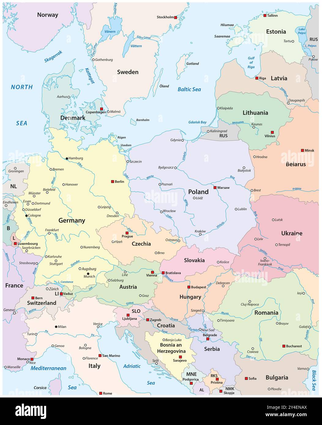 Map of Central Europe with the most important cities and rivers Stock Photohttps://www.alamy.com/image-license-details/?v=1https://www.alamy.com/map-of-central-europe-with-the-most-important-cities-and-rivers-image622355970.html
RF2Y4ENAX–Map of Central Europe with the most important cities and rivers
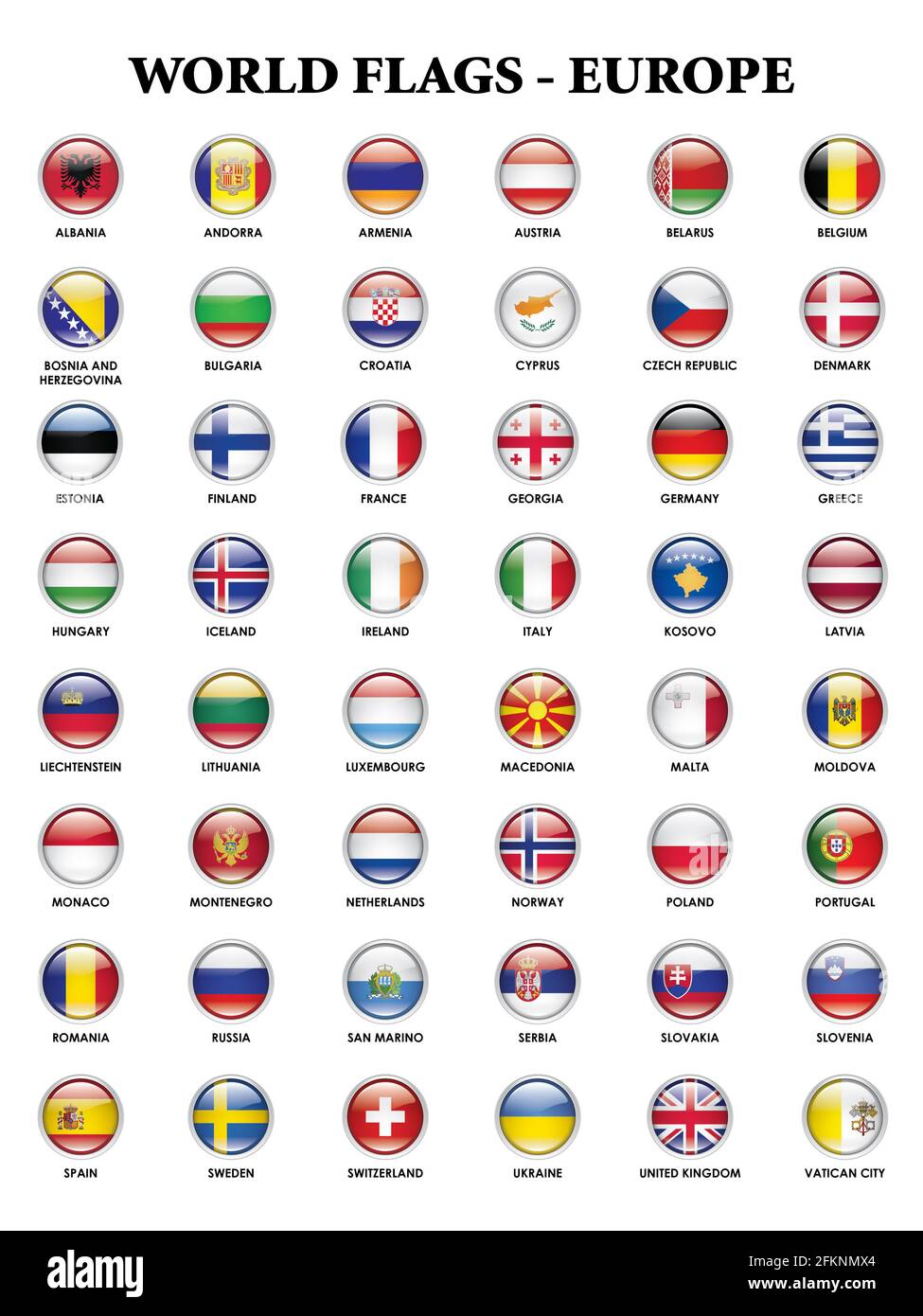 Alphabetical country flags for the continent of Europe Stock Photohttps://www.alamy.com/image-license-details/?v=1https://www.alamy.com/alphabetical-country-flags-for-the-continent-of-europe-image425204700.html
RF2FKNMX4–Alphabetical country flags for the continent of Europe
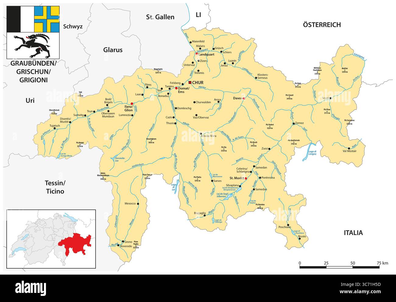 Overview map of the Swiss canton of Graubünden Stock Photohttps://www.alamy.com/image-license-details/?v=1https://www.alamy.com/overview-map-of-the-swiss-canton-of-graubnden-image692752745.html
RF3C71H5D–Overview map of the Swiss canton of Graubünden
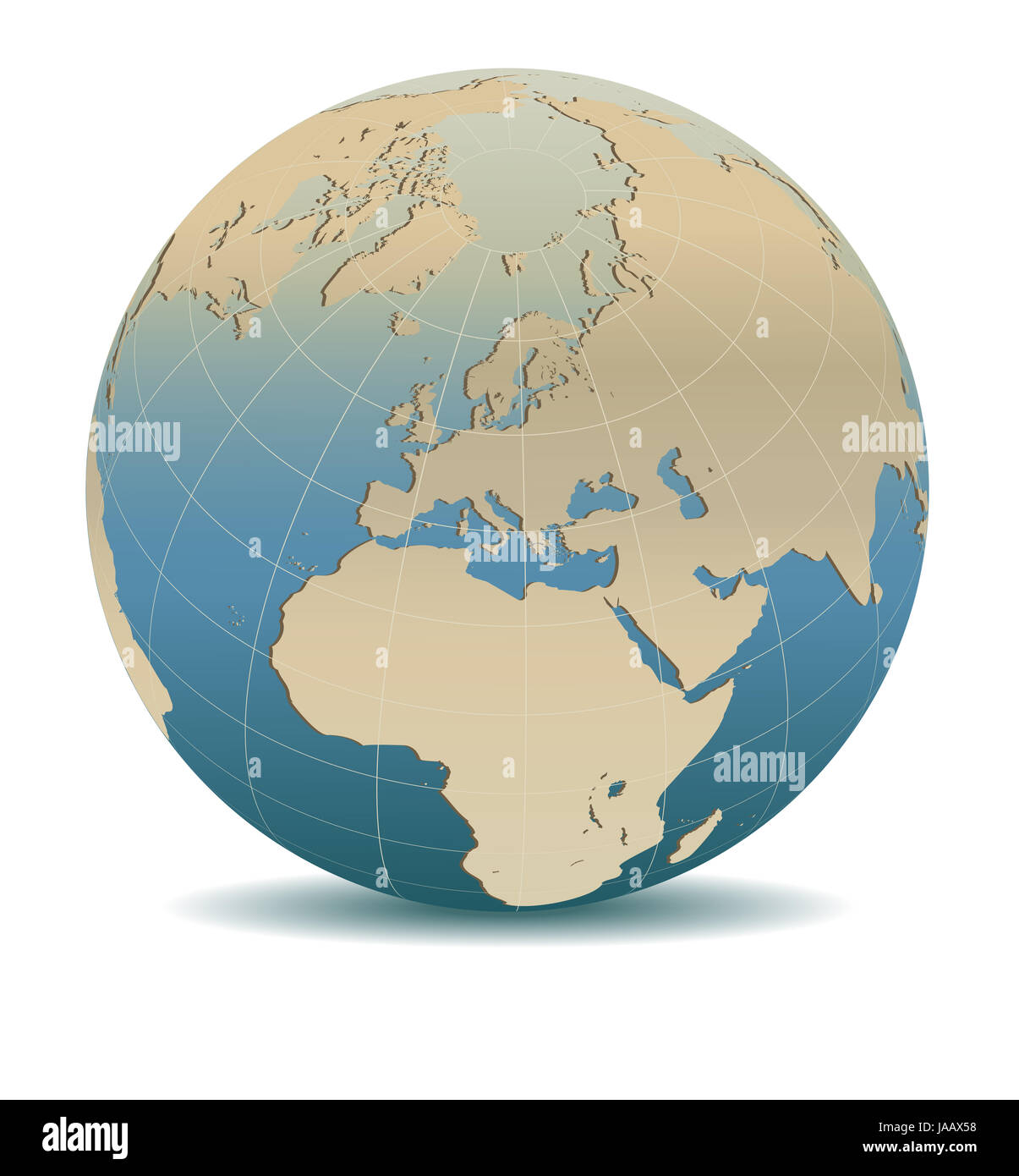 Retro Style Europe Global World, Elements of this image furnished by NASA Stock Photohttps://www.alamy.com/image-license-details/?v=1https://www.alamy.com/stock-photo-retro-style-europe-global-world-elements-of-this-image-furnished-by-144069556.html
RFJAAX58–Retro Style Europe Global World, Elements of this image furnished by NASA
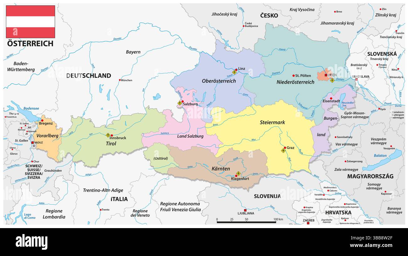 Detailed administrative vector map of the Republic of Austria Stock Photohttps://www.alamy.com/image-license-details/?v=1https://www.alamy.com/detailed-administrative-vector-map-of-the-republic-of-austria-image678160855.html
RF3BB8W2F–Detailed administrative vector map of the Republic of Austria
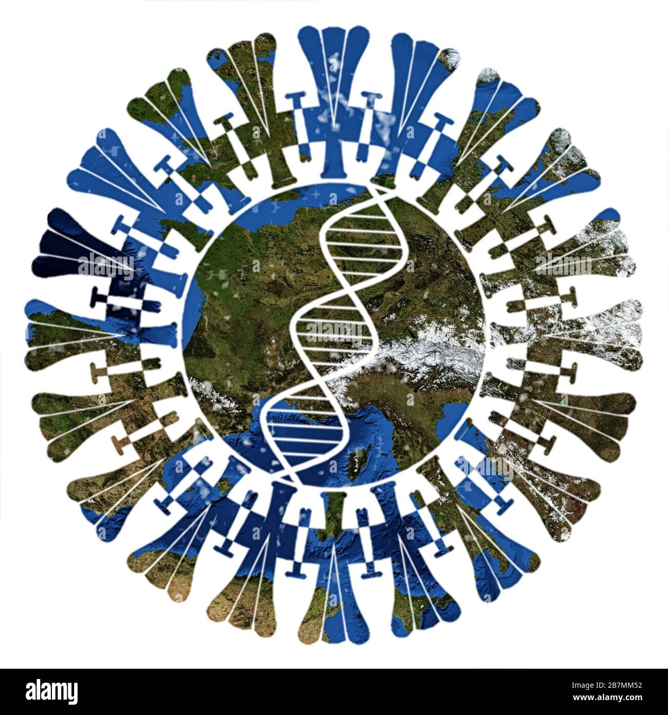 Corona virus above Europe. Corona graphics combined with a map of Europe - of our blue planet Earth - isolated on white background. Elements Stock Photohttps://www.alamy.com/image-license-details/?v=1https://www.alamy.com/corona-virus-above-europe-corona-graphics-combined-with-a-map-of-europe-of-our-blue-planet-earth-isolated-on-white-background-elements-image348964814.html
RF2B7MM52–Corona virus above Europe. Corona graphics combined with a map of Europe - of our blue planet Earth - isolated on white background. Elements
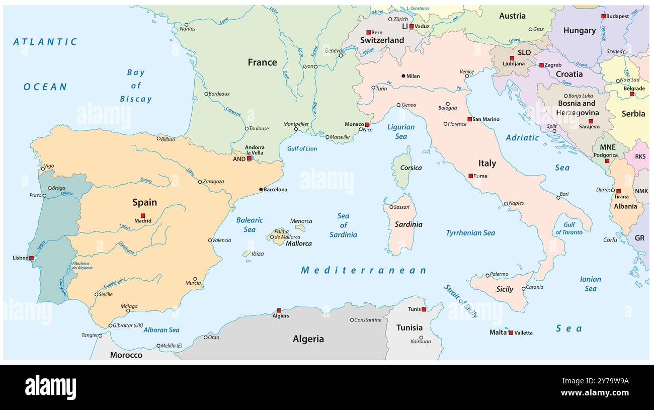 Map of Southern Europe with the most important cities and rivers Stock Photohttps://www.alamy.com/image-license-details/?v=1https://www.alamy.com/map-of-southern-europe-with-the-most-important-cities-and-rivers-image624093270.html
RF2Y79W9A–Map of Southern Europe with the most important cities and rivers
 Europe vector high detailed map Stock Vectorhttps://www.alamy.com/image-license-details/?v=1https://www.alamy.com/europe-vector-high-detailed-map-image245982499.html
RFT85D57–Europe vector high detailed map
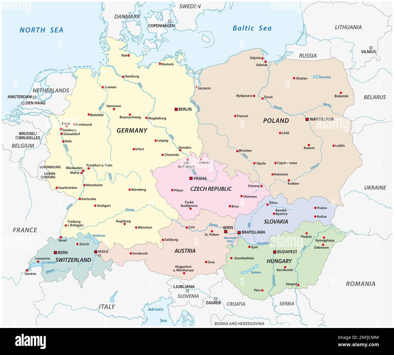 Vector map of the states of Central Europe Stock Photohttps://www.alamy.com/image-license-details/?v=1https://www.alamy.com/vector-map-of-the-states-of-central-europe-image525936004.html
RF2NFJCMM–Vector map of the states of Central Europe
 Europe vector high detailed map Stock Vectorhttps://www.alamy.com/image-license-details/?v=1https://www.alamy.com/europe-vector-high-detailed-map-image245982615.html
RFT85D9B–Europe vector high detailed map
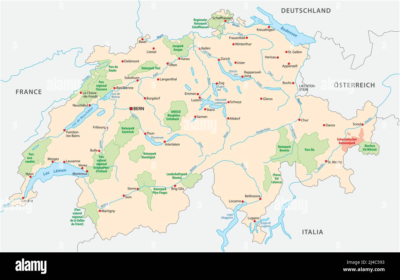 Map of Swiss national and nature parks Stock Vectorhttps://www.alamy.com/image-license-details/?v=1https://www.alamy.com/map-of-swiss-national-and-nature-parks-image467406159.html
RF2J4C593–Map of Swiss national and nature parks
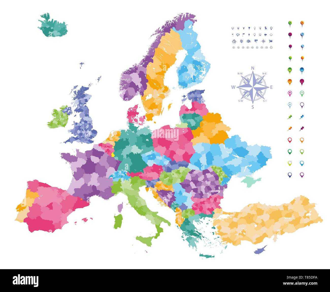 Europe vector high detailed political map Stock Vectorhttps://www.alamy.com/image-license-details/?v=1https://www.alamy.com/europe-vector-high-detailed-political-map-image245982782.html
RFT85DFA–Europe vector high detailed political map
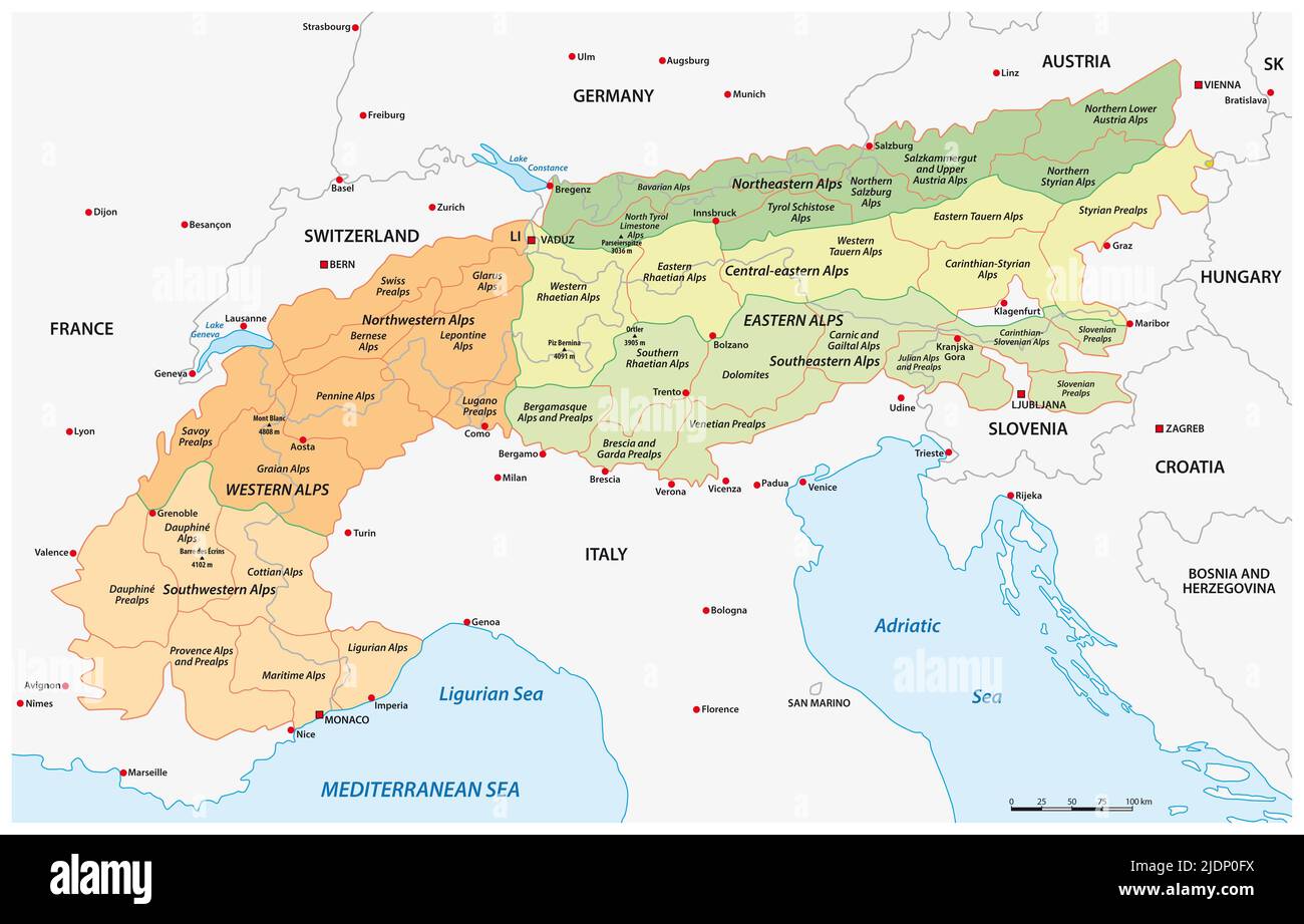 detailed vector map division of european alps Stock Photohttps://www.alamy.com/image-license-details/?v=1https://www.alamy.com/detailed-vector-map-division-of-european-alps-image473153854.html
RF2JDP0FX–detailed vector map division of european alps
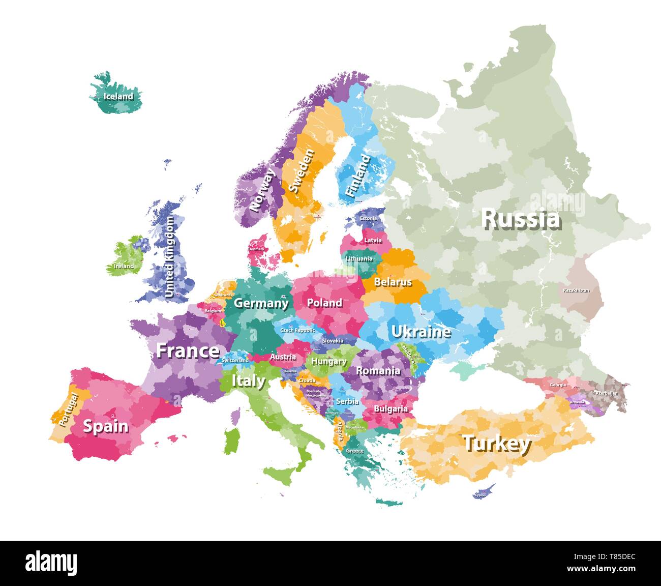 Europe vector high detailed political map Stock Vectorhttps://www.alamy.com/image-license-details/?v=1https://www.alamy.com/europe-vector-high-detailed-political-map-image245982756.html
RFT85DEC–Europe vector high detailed political map
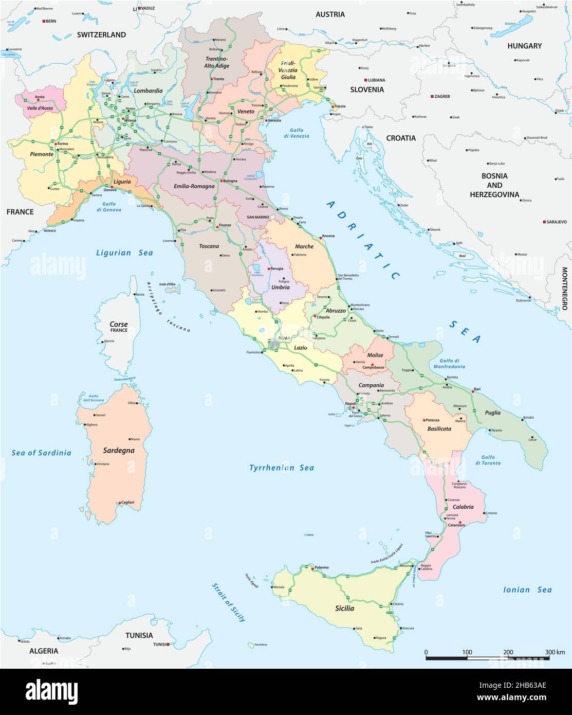 Vector map of the Italian national highway system Stock Vectorhttps://www.alamy.com/image-license-details/?v=1https://www.alamy.com/vector-map-of-the-italian-national-highway-system-image454365142.html
RF2HB63AE–Vector map of the Italian national highway system
 Europe vector high detailed political map Stock Vectorhttps://www.alamy.com/image-license-details/?v=1https://www.alamy.com/europe-vector-high-detailed-political-map-image245982677.html
RFT85DBH–Europe vector high detailed political map
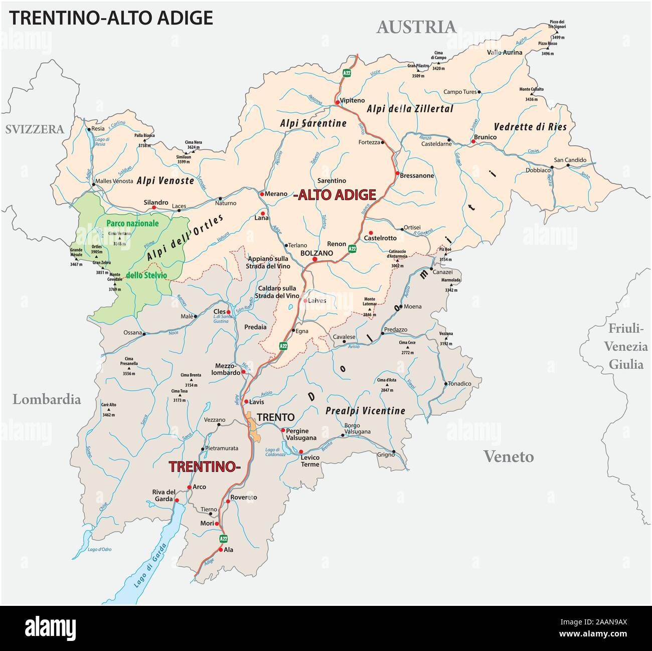 Road map of the italian region Trentino Alto Adige Stock Vectorhttps://www.alamy.com/image-license-details/?v=1https://www.alamy.com/road-map-of-the-italian-region-trentino-alto-adige-image333611906.html
RF2AAN9AX–Road map of the italian region Trentino Alto Adige
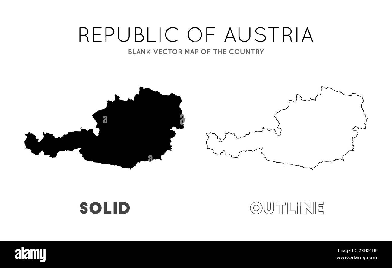 Austria map. Blank vector map of the country. Borders of Austria for your infographic. Vector illustration. Stock Vectorhttps://www.alamy.com/image-license-details/?v=1https://www.alamy.com/austria-map-blank-vector-map-of-the-country-borders-of-austria-for-your-infographic-vector-illustration-image561755307.html
RF2RHX4HF–Austria map. Blank vector map of the country. Borders of Austria for your infographic. Vector illustration.
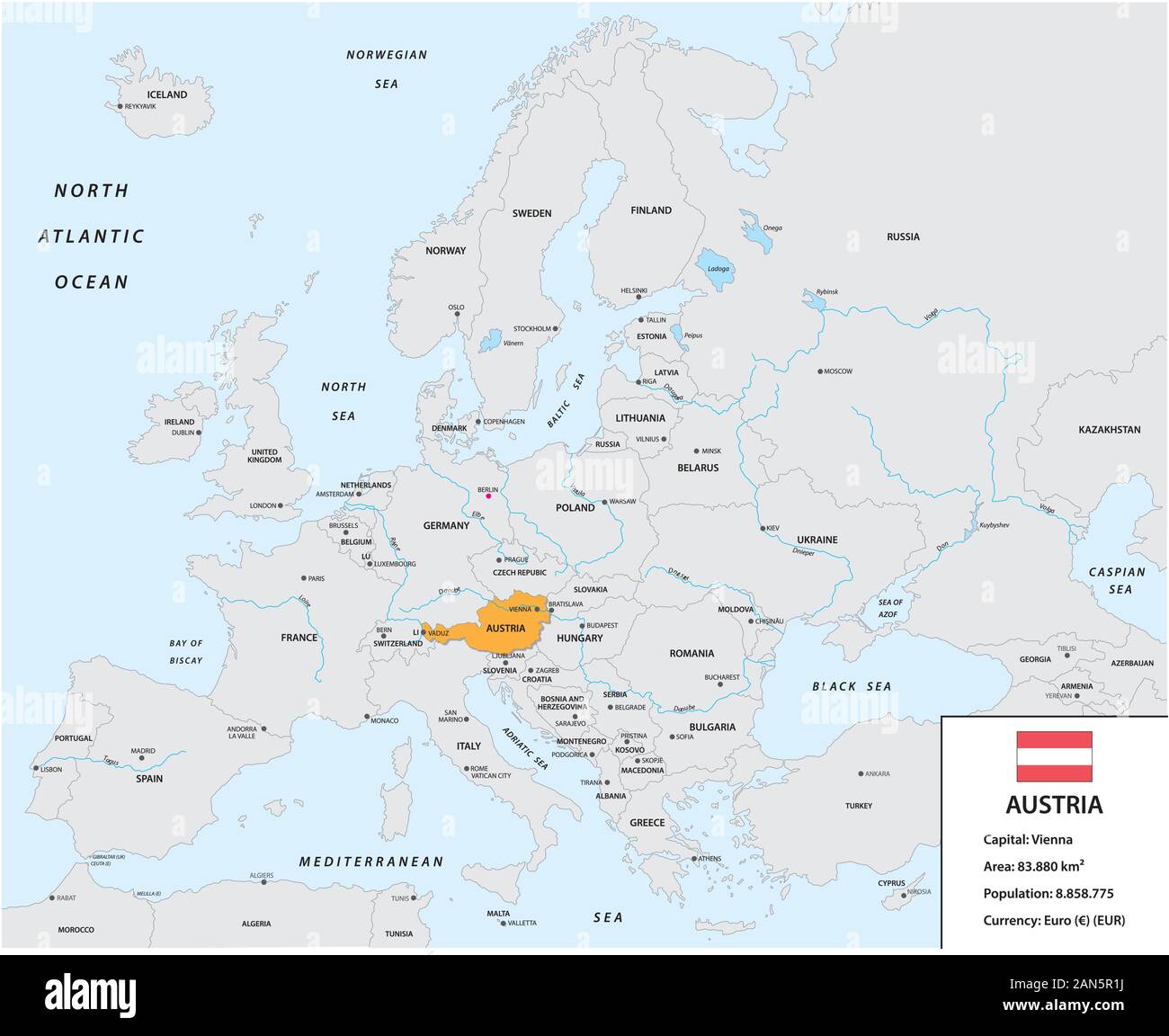 Location of Austria on the European continent with small information box and flag Stock Vectorhttps://www.alamy.com/image-license-details/?v=1https://www.alamy.com/location-of-austria-on-the-european-continent-with-small-information-box-and-flag-image340032606.html
RF2AN5R1J–Location of Austria on the European continent with small information box and flag
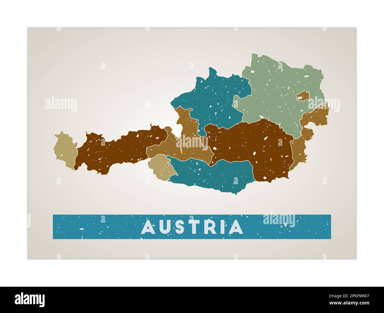 Austria map. Country poster with regions. Old grunge texture. Shape of Austria with country name. Neat vector illustration. Stock Vectorhttps://www.alamy.com/image-license-details/?v=1https://www.alamy.com/austria-map-country-poster-with-regions-old-grunge-texture-shape-of-austria-with-country-name-neat-vector-illustration-image545549319.html
RF2PKFWM7–Austria map. Country poster with regions. Old grunge texture. Shape of Austria with country name. Neat vector illustration.
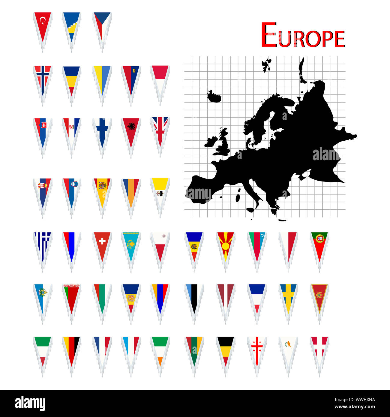 Complete set of Europe flags and map, isolated and grouped objects over white background Stock Photohttps://www.alamy.com/image-license-details/?v=1https://www.alamy.com/complete-set-of-europe-flags-and-map-isolated-and-grouped-objects-over-white-background-image273916086.html
RFWWHXNA–Complete set of Europe flags and map, isolated and grouped objects over white background
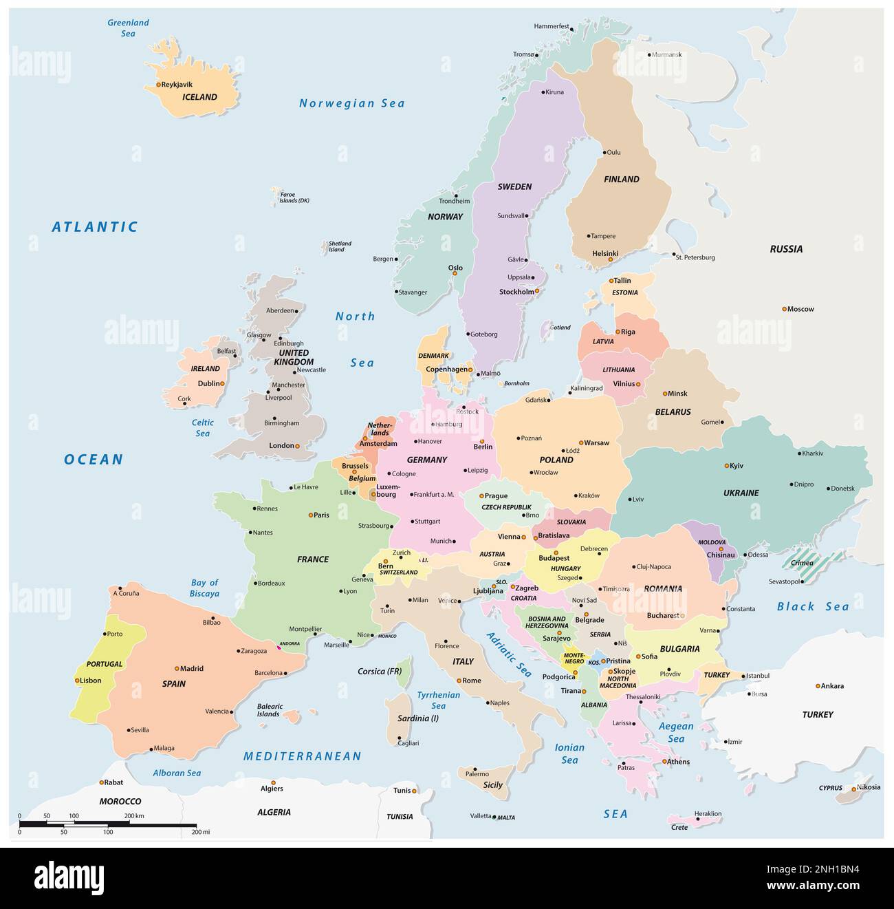 Colored political vector map of European states Stock Photohttps://www.alamy.com/image-license-details/?v=1https://www.alamy.com/colored-political-vector-map-of-european-states-image526791360.html
RF2NH1BN4–Colored political vector map of European states
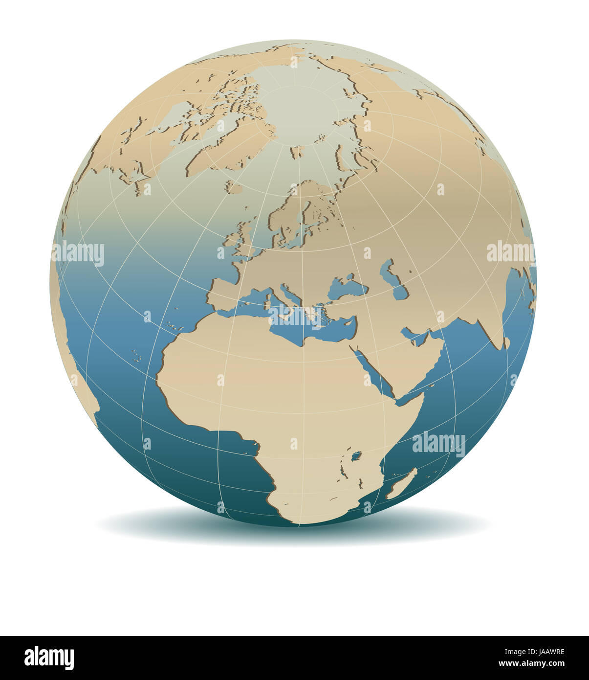 Retro Style Europe Global World, Elements of this image furnished by NASA Stock Photohttps://www.alamy.com/image-license-details/?v=1https://www.alamy.com/stock-photo-retro-style-europe-global-world-elements-of-this-image-furnished-by-144069282.html
RFJAAWRE–Retro Style Europe Global World, Elements of this image furnished by NASA
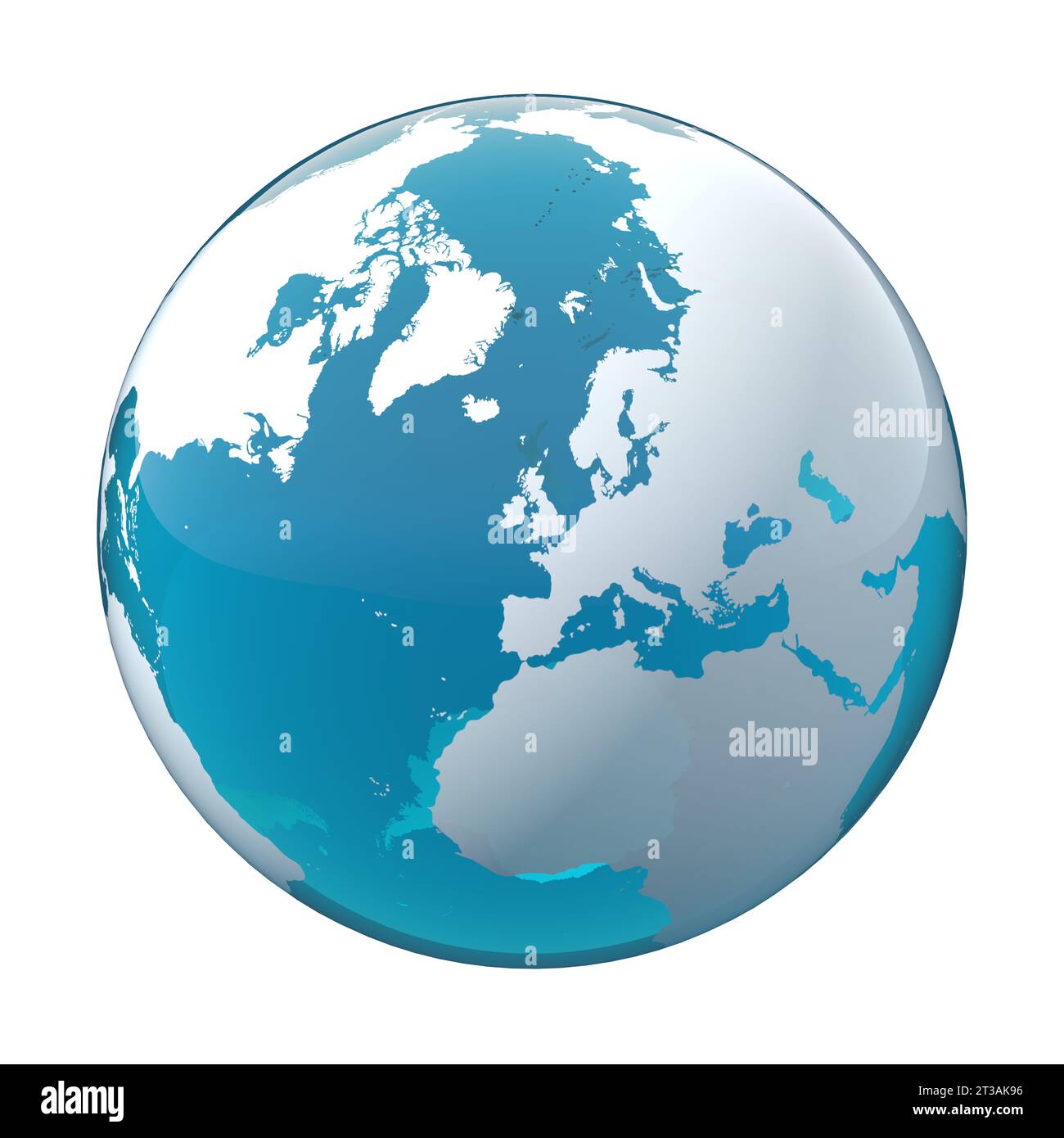 earth globe, world map, UK, Europe Stock Photohttps://www.alamy.com/image-license-details/?v=1https://www.alamy.com/earth-globe-world-map-uk-europe-image570020786.html
RF2T3AK96–earth globe, world map, UK, Europe
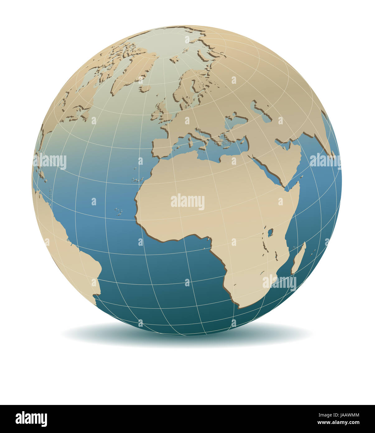 Retro Style Europe and Africa, Global World, Elements of this image furnished by NASA Stock Photohttps://www.alamy.com/image-license-details/?v=1https://www.alamy.com/stock-photo-retro-style-europe-and-africa-global-world-elements-of-this-image-144069204.html
RFJAAWMM–Retro Style Europe and Africa, Global World, Elements of this image furnished by NASA
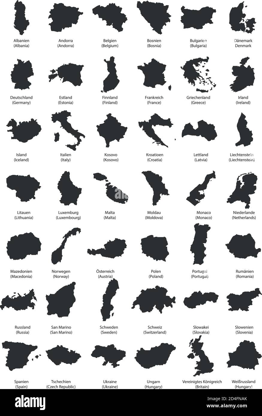 Europe Country Territories Vector on flat design Stock Vectorhttps://www.alamy.com/image-license-details/?v=1https://www.alamy.com/europe-country-territories-vector-on-flat-design-image381432763.html
RF2D4FNAK–Europe Country Territories Vector on flat design
 Real imprint of child foot with a world map of Europe - isolated on white background Stock Photohttps://www.alamy.com/image-license-details/?v=1https://www.alamy.com/stock-photo-real-imprint-of-child-foot-with-a-world-map-of-europe-isolated-on-175410628.html
RFM5AJ18–Real imprint of child foot with a world map of Europe - isolated on white background
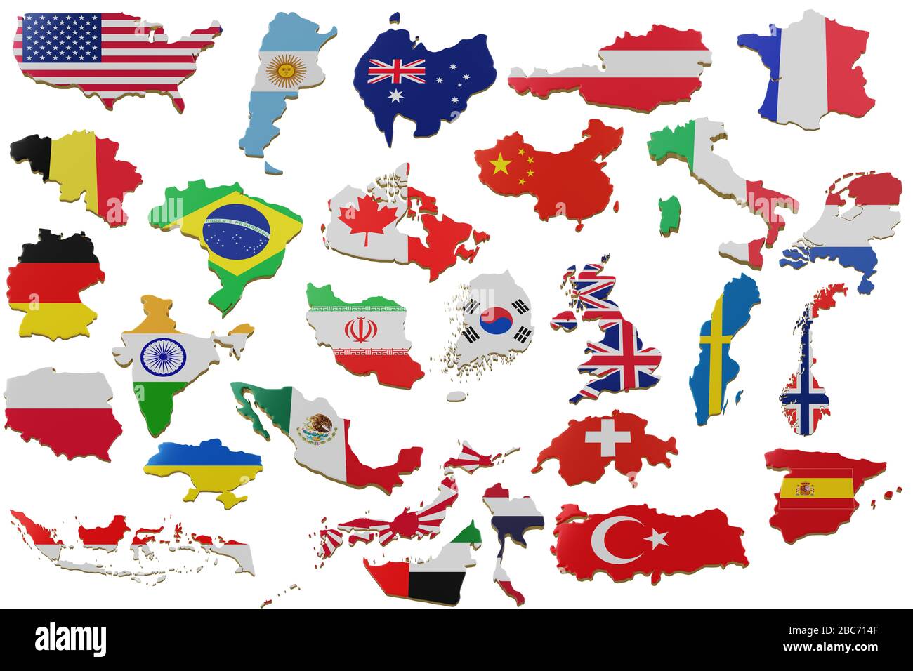 Set 3D map with many Countries. Map of Countries land border with flag. Countries map on white background. 3d rendering Stock Photohttps://www.alamy.com/image-license-details/?v=1https://www.alamy.com/set-3d-map-with-many-countries-map-of-countries-land-border-with-flag-countries-map-on-white-background-3d-rendering-image351737807.html
RF2BC714F–Set 3D map with many Countries. Map of Countries land border with flag. Countries map on white background. 3d rendering
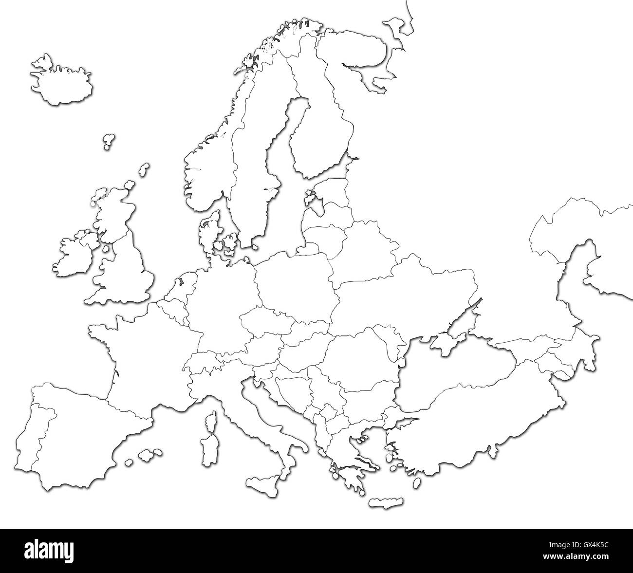 Blank map of Europe Stock Photohttps://www.alamy.com/image-license-details/?v=1https://www.alamy.com/stock-photo-blank-map-of-europe-119346120.html
RFGX4K5C–Blank map of Europe
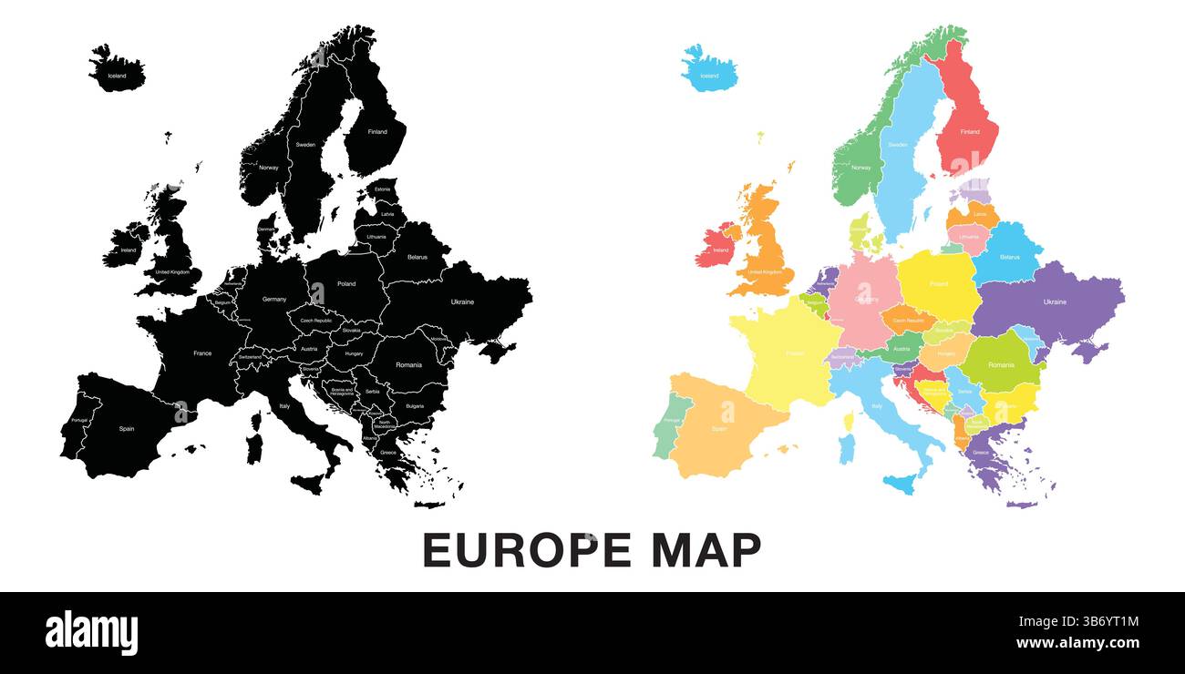 Map of Europe. Includes Germany, Netherlands, Belgium, Luxembourg, Austria, Switzerland, France, Monaco, Liechtenstein, with regional divisions. Isola Stock Vectorhttps://www.alamy.com/image-license-details/?v=1https://www.alamy.com/map-of-europe-includes-germany-netherlands-belgium-luxembourg-austria-switzerland-france-monaco-liechtenstein-with-regional-divisions-isola-image675503856.html
RF3B6YT1M–Map of Europe. Includes Germany, Netherlands, Belgium, Luxembourg, Austria, Switzerland, France, Monaco, Liechtenstein, with regional divisions. Isola
 BROWN CMYK color map of AUSTRIA Stock Vectorhttps://www.alamy.com/image-license-details/?v=1https://www.alamy.com/brown-cmyk-color-map-of-austria-image561262631.html
RF2RH3M5Y–BROWN CMYK color map of AUSTRIA
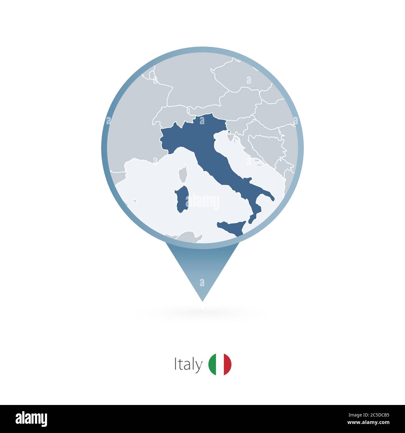 Map pin with detailed map of Italy and neighboring countries. Stock Vectorhttps://www.alamy.com/image-license-details/?v=1https://www.alamy.com/map-pin-with-detailed-map-of-italy-and-neighboring-countries-image364786105.html
RF2C5DCB5–Map pin with detailed map of Italy and neighboring countries.
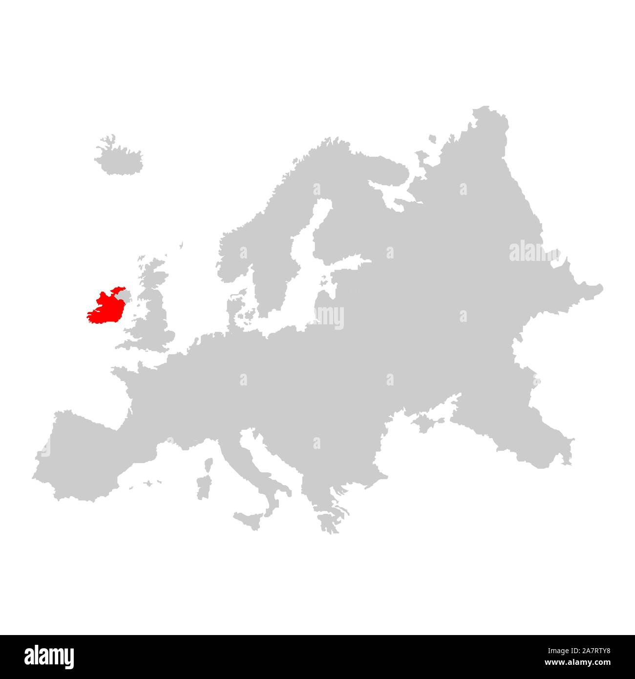 Ireland on map of europe Stock Vectorhttps://www.alamy.com/image-license-details/?v=1https://www.alamy.com/ireland-on-map-of-europe-image331824060.html
RF2A7RTY8–Ireland on map of europe
RFPDFWFF–blue europe map icon sticker
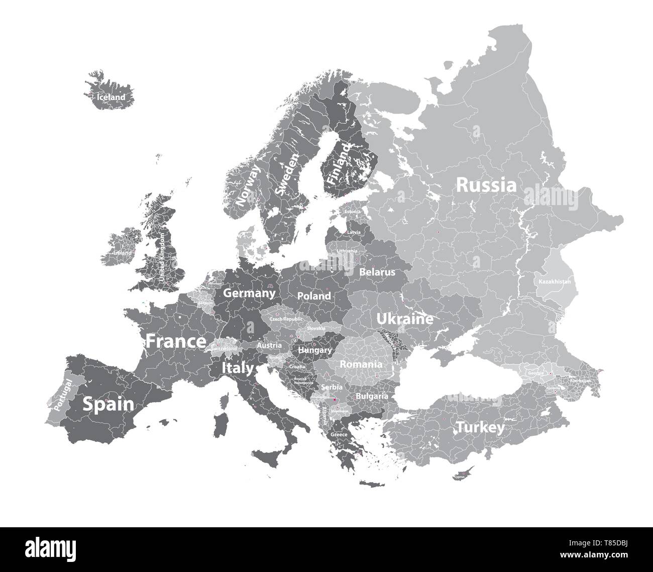 Europe vector high detailed political map Stock Vectorhttps://www.alamy.com/image-license-details/?v=1https://www.alamy.com/europe-vector-high-detailed-political-map-image245982678.html
RFT85DBJ–Europe vector high detailed political map
 map and flags, this illustration may be useful as designer work Stock Vectorhttps://www.alamy.com/image-license-details/?v=1https://www.alamy.com/map-and-flags-this-illustration-may-be-useful-as-designer-work-image554865849.html
RF2R6M91D–map and flags, this illustration may be useful as designer work
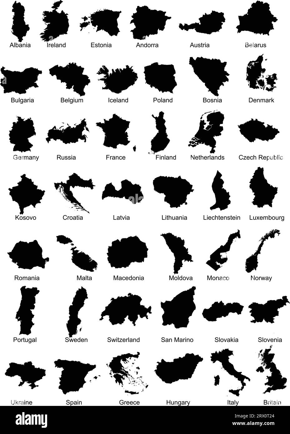 Layered editable vector illustration silhouette country map of 42 European countries. Stock Vectorhttps://www.alamy.com/image-license-details/?v=1https://www.alamy.com/layered-editable-vector-illustration-silhouette-country-map-of-42-european-countries-image566731708.html
RF2RX0T24–Layered editable vector illustration silhouette country map of 42 European countries.
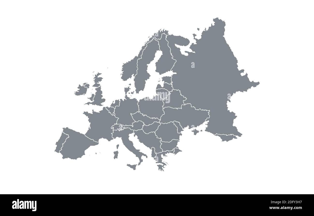 Europa map vector illustration Stock Vectorhttps://www.alamy.com/image-license-details/?v=1https://www.alamy.com/europa-map-vector-illustration-image388443475.html
RF2DFY3H7–Europa map vector illustration
 Model of COVID-19 coronavirus colored in national Austria flag in face mask, concept of pandemic spreading, medicine and healthcare. Worldwide epidemic, quarantine and isolation, protection. Copyspace. Stock Photohttps://www.alamy.com/image-license-details/?v=1https://www.alamy.com/model-of-covid-19-coronavirus-colored-in-national-austria-flag-in-face-mask-concept-of-pandemic-spreading-medicine-and-healthcare-worldwide-epidemic-quarantine-and-isolation-protection-copyspace-image353640799.html
RF2BF9MCF–Model of COVID-19 coronavirus colored in national Austria flag in face mask, concept of pandemic spreading, medicine and healthcare. Worldwide epidemic, quarantine and isolation, protection. Copyspace.
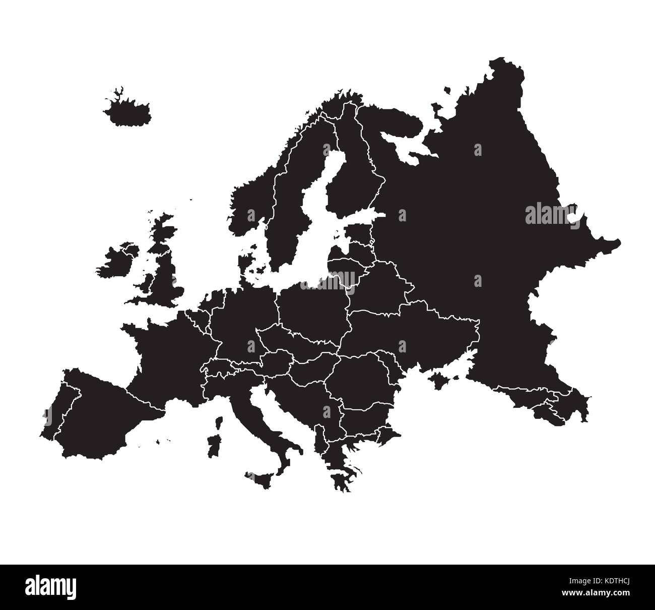 Europa map vector illustration Stock Vectorhttps://www.alamy.com/image-license-details/?v=1https://www.alamy.com/stock-image-europa-map-vector-illustration-163424370.html
RFKDTHCJ–Europa map vector illustration
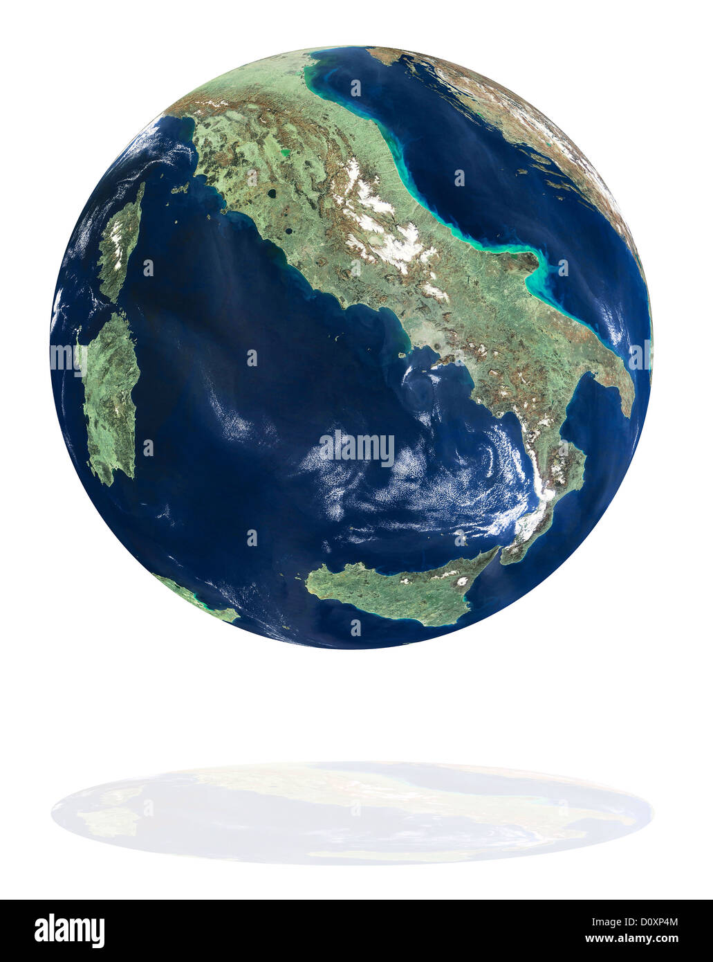 Italy on the Earth planet Stock Photohttps://www.alamy.com/image-license-details/?v=1https://www.alamy.com/stock-photo-italy-on-the-earth-planet-52219236.html
RFD0XP4M–Italy on the Earth planet
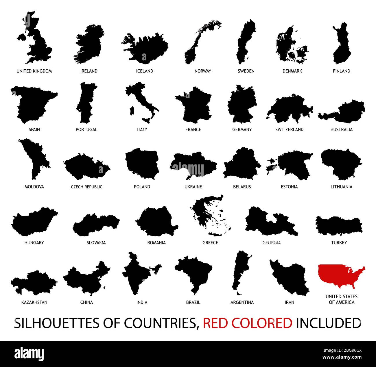 Silhouettes of Countries from Europe and America in black and red color isolated on white. Stock Vectorhttps://www.alamy.com/image-license-details/?v=1https://www.alamy.com/silhouettes-of-countries-from-europe-and-america-in-black-and-red-color-isolated-on-white-image354222650.html
RF2BG86GX–Silhouettes of Countries from Europe and America in black and red color isolated on white.
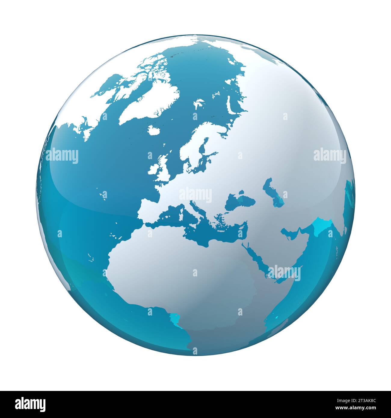 earth globe, world map, Europe, EU Stock Photohttps://www.alamy.com/image-license-details/?v=1https://www.alamy.com/earth-globe-world-map-europe-eu-image570020764.html
RF2T3AK8C–earth globe, world map, Europe, EU
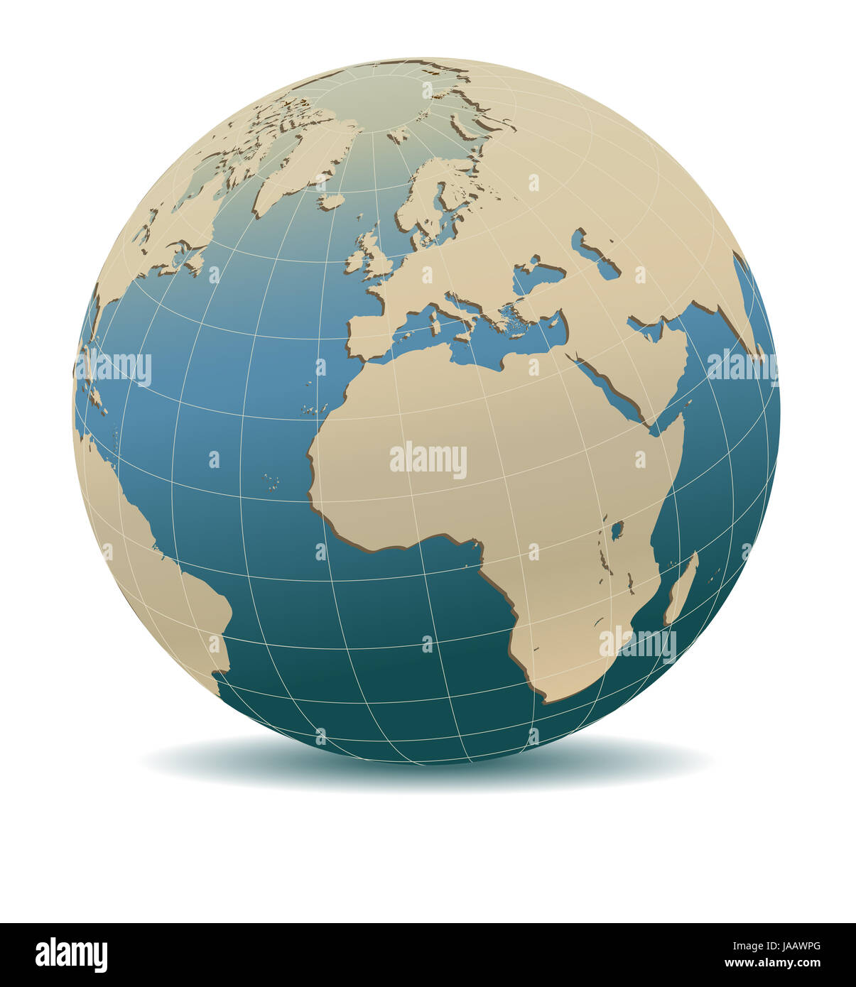 Retro Style Europe and Africa, Global World, Elements of this image furnished by NASA Stock Photohttps://www.alamy.com/image-license-details/?v=1https://www.alamy.com/stock-photo-retro-style-europe-and-africa-global-world-elements-of-this-image-144069256.html
RFJAAWPG–Retro Style Europe and Africa, Global World, Elements of this image furnished by NASA
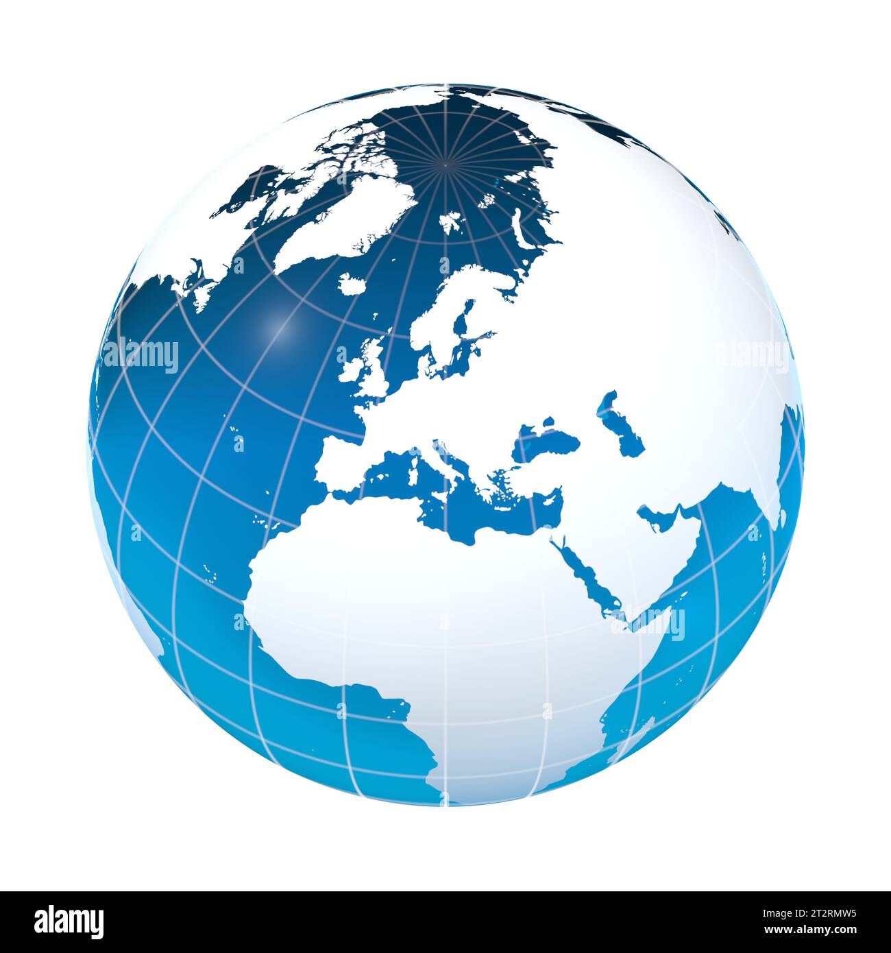 Europe, EU, earth globe, world map Stock Photohttps://www.alamy.com/image-license-details/?v=1https://www.alamy.com/europe-eu-earth-globe-world-map-image569692737.html
RF2T2RMW5–Europe, EU, earth globe, world map
RFEA4G7C–World Earth Icon Globe Map
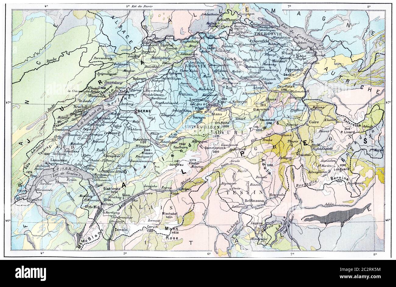 Topographical Map of the Alps, vintage engraved illustration. Dictionary of Words and Things - Larive and Fleury - 1895 Stock Photohttps://www.alamy.com/image-license-details/?v=1https://www.alamy.com/topographical-map-of-the-alps-vintage-engraved-illustration-dictionary-of-words-and-things-larive-and-fleury-1895-image363166992.html
RF2C2RK5M–Topographical Map of the Alps, vintage engraved illustration. Dictionary of Words and Things - Larive and Fleury - 1895
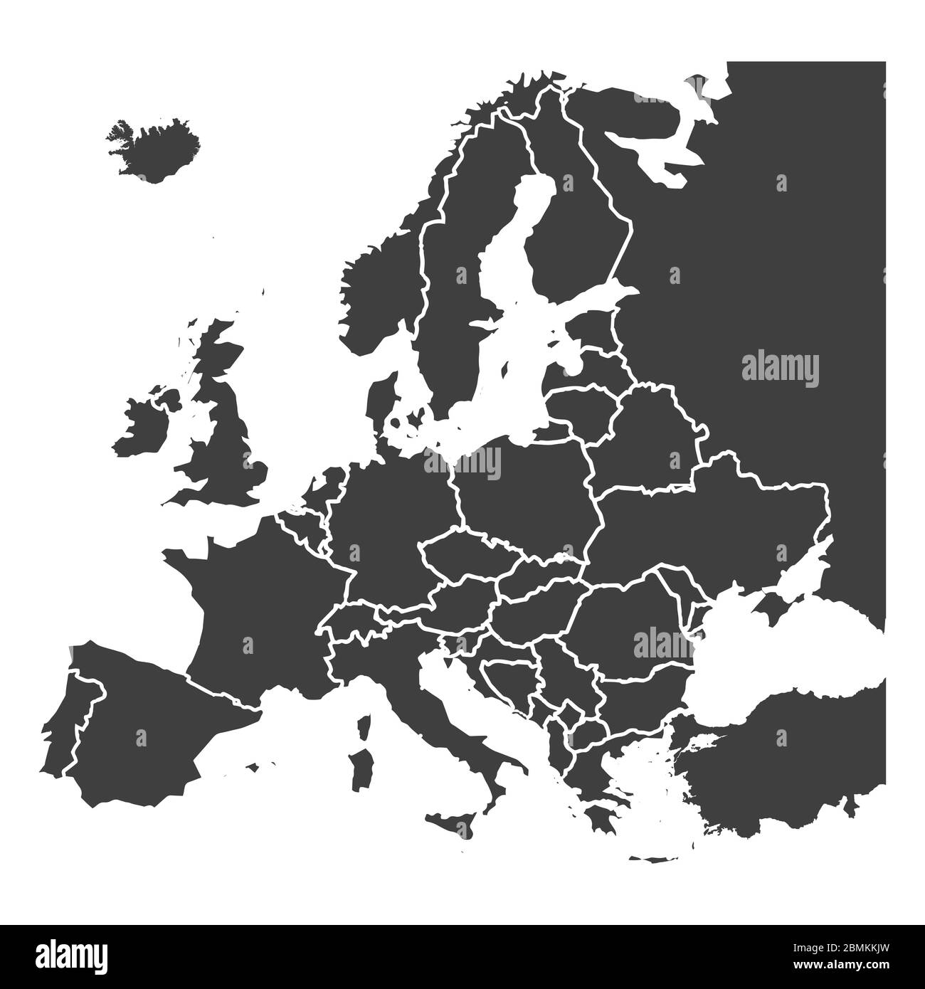 Detailed europe map, gray silhouette on white Stock Vectorhttps://www.alamy.com/image-license-details/?v=1https://www.alamy.com/detailed-europe-map-gray-silhouette-on-white-image356932993.html
RF2BMKKJW–Detailed europe map, gray silhouette on white
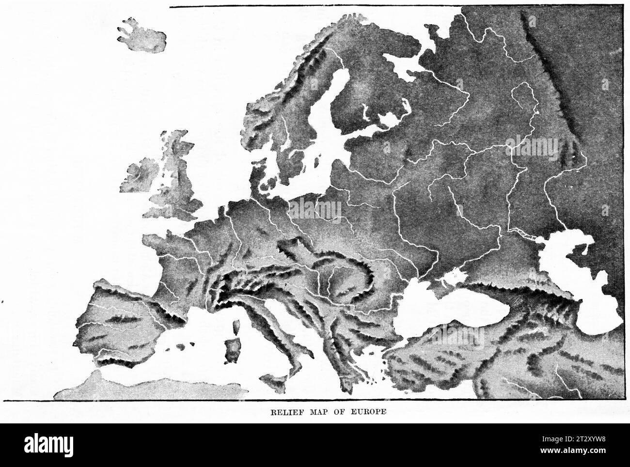 relief map of Europe circa 1910 from a school geography text book Stock Photohttps://www.alamy.com/image-license-details/?v=1https://www.alamy.com/relief-map-of-europe-circa-1910-from-a-school-geography-text-book-image569764084.html
RM2T2XYW8–relief map of Europe circa 1910 from a school geography text book
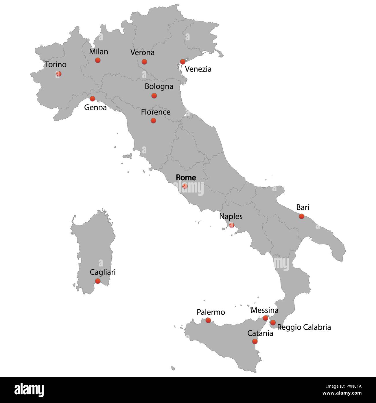 detailed map of the Italy with cities Stock Vectorhttps://www.alamy.com/image-license-details/?v=1https://www.alamy.com/detailed-map-of-the-italy-with-cities-image222966502.html
RFPXN01A–detailed map of the Italy with cities
 Vector illustration depicting the world. The terrestrial globe, the earth seen from space. Stock Vectorhttps://www.alamy.com/image-license-details/?v=1https://www.alamy.com/vector-illustration-depicting-the-world-the-terrestrial-globe-the-earth-seen-from-space-image414521263.html
RF2F2B22R–Vector illustration depicting the world. The terrestrial globe, the earth seen from space.
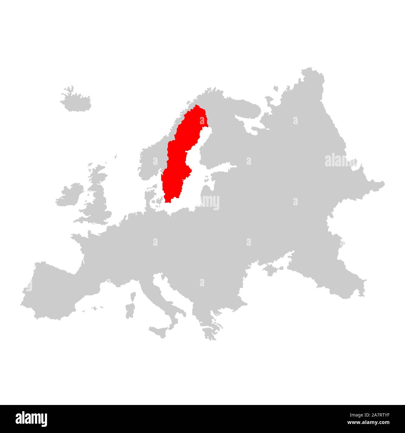 Sweden on map of europe Stock Vectorhttps://www.alamy.com/image-license-details/?v=1https://www.alamy.com/sweden-on-map-of-europe-image331824067.html
RF2A7RTYF–Sweden on map of europe
 Vector illustration depicting the world. The terrestrial globe, the earth seen from space. Stock Vectorhttps://www.alamy.com/image-license-details/?v=1https://www.alamy.com/vector-illustration-depicting-the-world-the-terrestrial-globe-the-earth-seen-from-space-image414520904.html
RF2F2B1J0–Vector illustration depicting the world. The terrestrial globe, the earth seen from space.
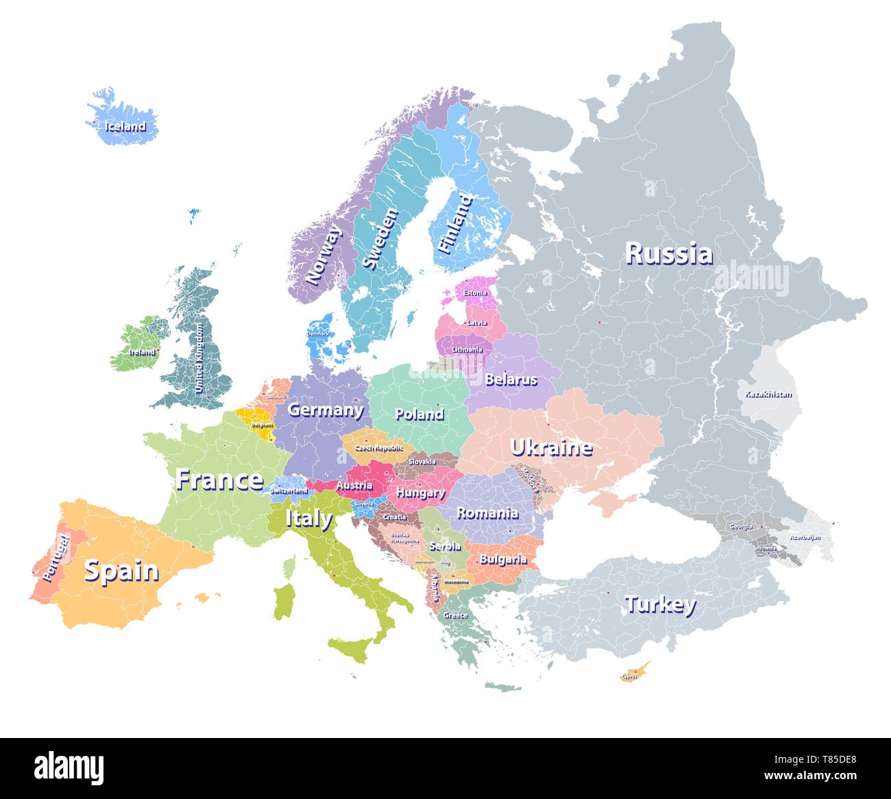 Europe vector high detailed political map Stock Vectorhttps://www.alamy.com/image-license-details/?v=1https://www.alamy.com/europe-vector-high-detailed-political-map-image245982752.html
RFT85DE8–Europe vector high detailed political map
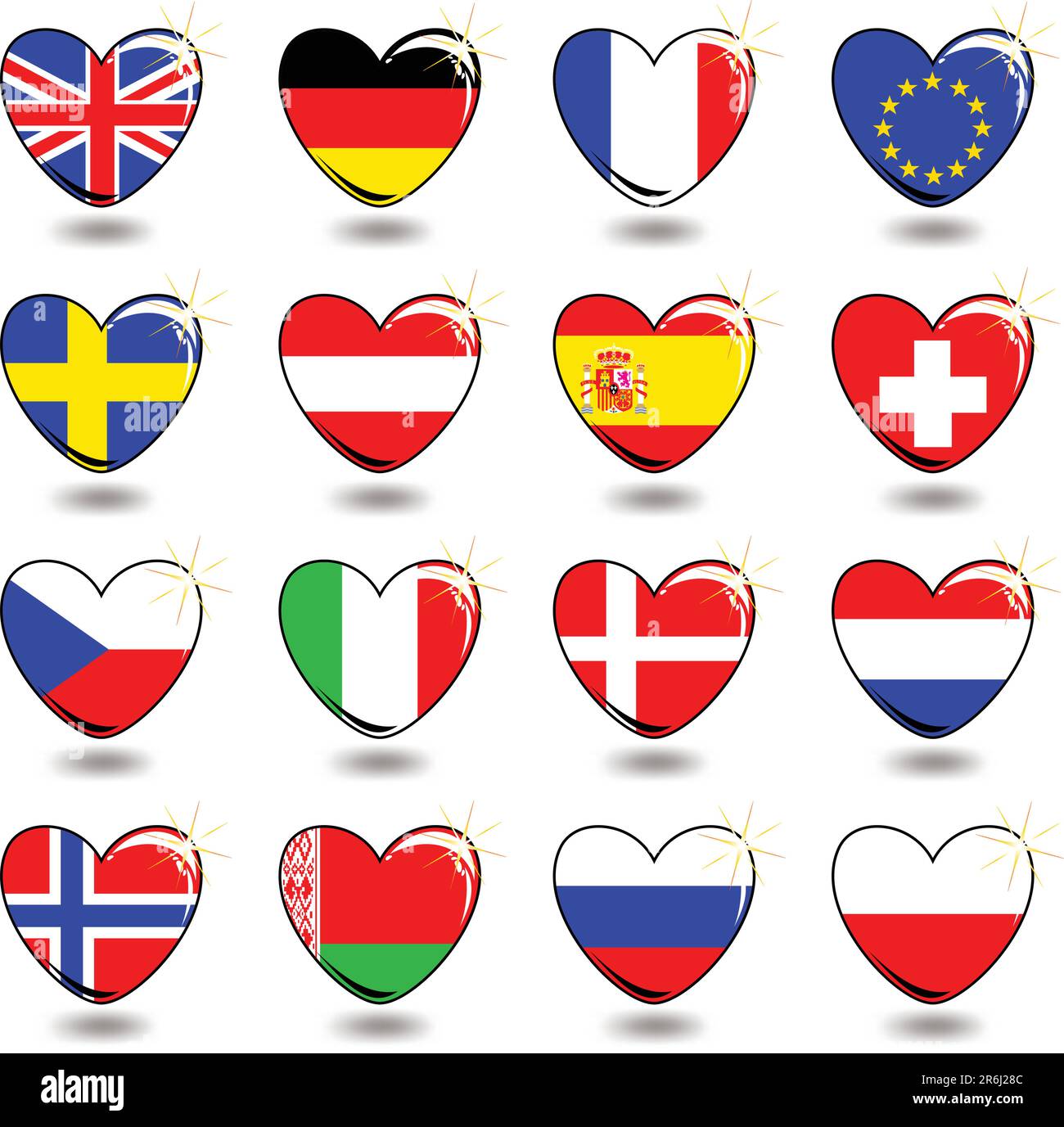 heart flag, this illustration may be useful as designer work Stock Vectorhttps://www.alamy.com/image-license-details/?v=1https://www.alamy.com/heart-flag-this-illustration-may-be-useful-as-designer-work-image554816652.html
RF2R6J28C–heart flag, this illustration may be useful as designer work
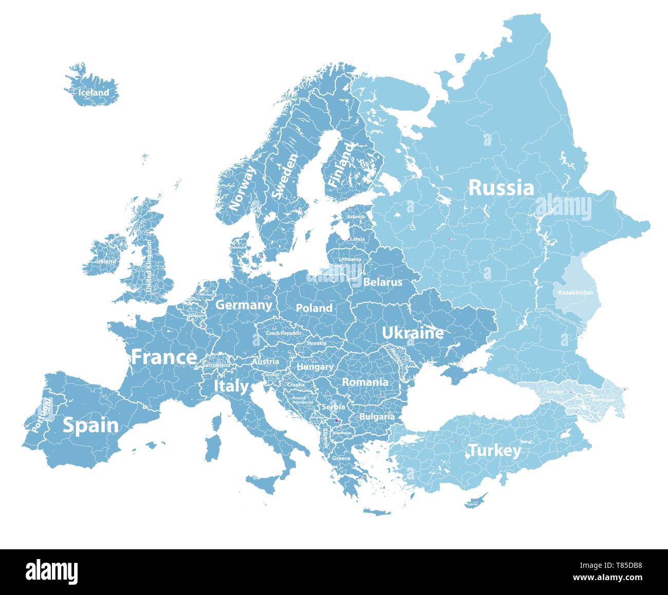 Europe vector high detailed political map Stock Vectorhttps://www.alamy.com/image-license-details/?v=1https://www.alamy.com/europe-vector-high-detailed-political-map-image245982668.html
RFT85DB8–Europe vector high detailed political map
 Blue Map of the European Countries Stock Photohttps://www.alamy.com/image-license-details/?v=1https://www.alamy.com/stock-photo-blue-map-of-the-european-countries-57669982.html
RFD9R2J6–Blue Map of the European Countries
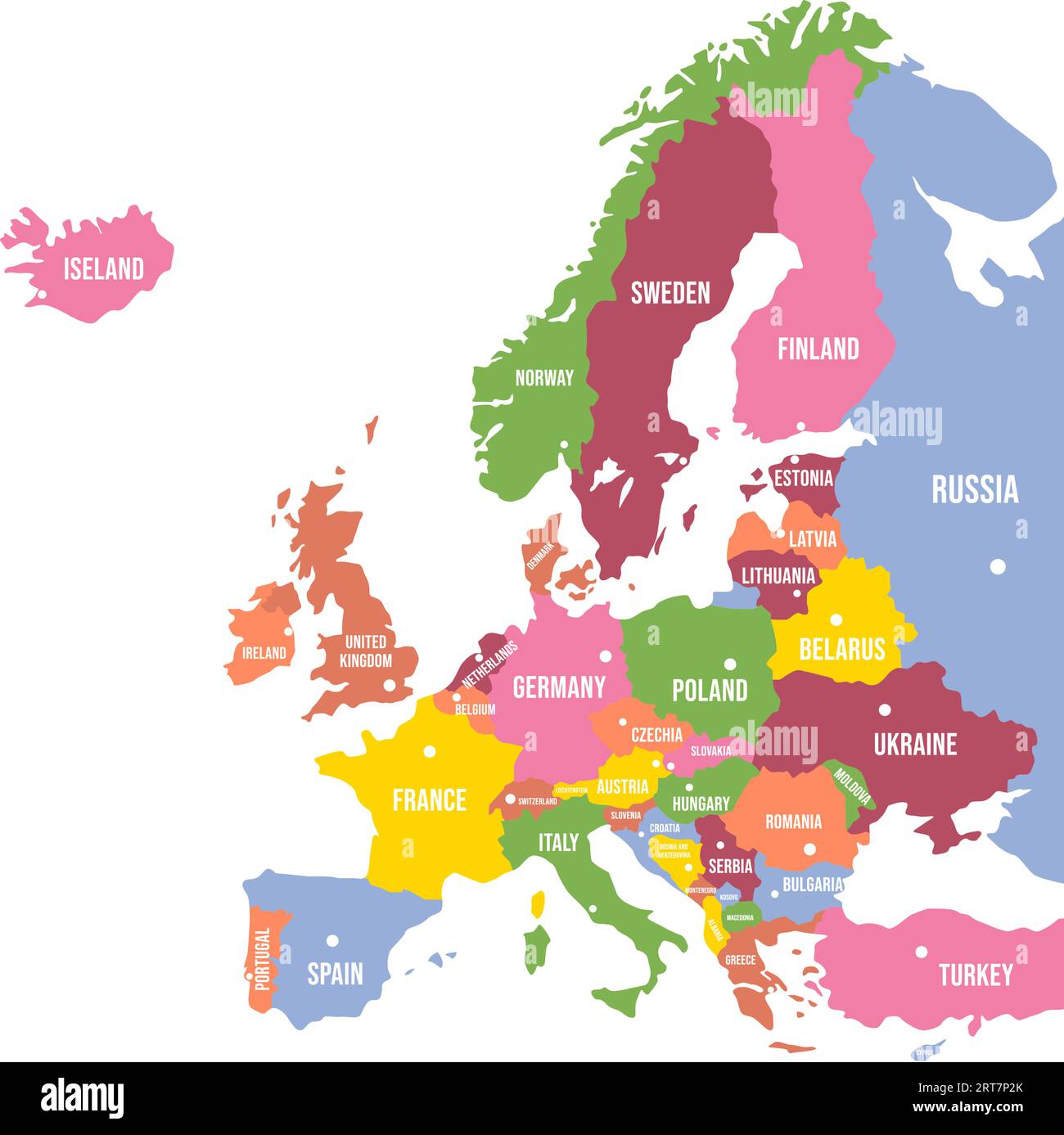 Colorful Europe map. Countries and borders, political map of Europe continent with capitals vector illustration Stock Vectorhttps://www.alamy.com/image-license-details/?v=1https://www.alamy.com/colorful-europe-map-countries-and-borders-political-map-of-europe-continent-with-capitals-vector-illustration-image565654507.html
RF2RT7P2K–Colorful Europe map. Countries and borders, political map of Europe continent with capitals vector illustration
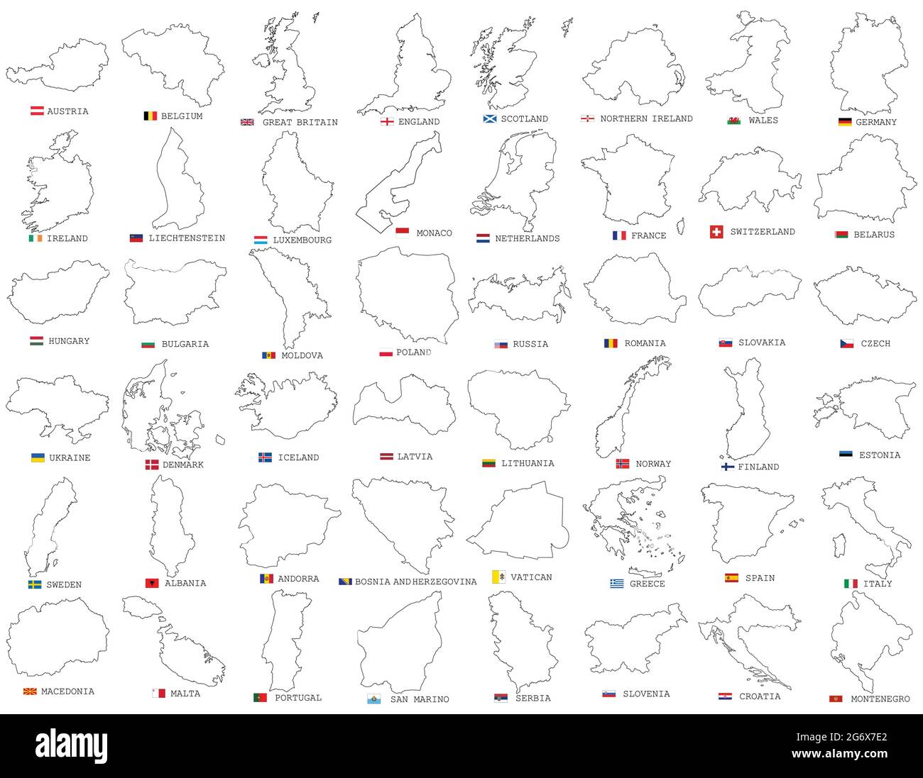 Big vector set of all Europe states, countries line, linear thin maps isolated on white background. High detailed editable illustration of Europe maps Stock Vectorhttps://www.alamy.com/image-license-details/?v=1https://www.alamy.com/big-vector-set-of-all-europe-states-countries-line-linear-thin-maps-isolated-on-white-background-high-detailed-editable-illustration-of-europe-maps-image434523770.html
RF2G6X7E2–Big vector set of all Europe states, countries line, linear thin maps isolated on white background. High detailed editable illustration of Europe maps
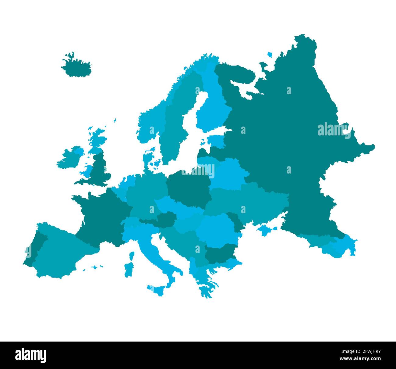 Europa vector illustration design Stock Vectorhttps://www.alamy.com/image-license-details/?v=1https://www.alamy.com/europa-vector-illustration-design-image428824367.html
RF2FWJHRY–Europa vector illustration design
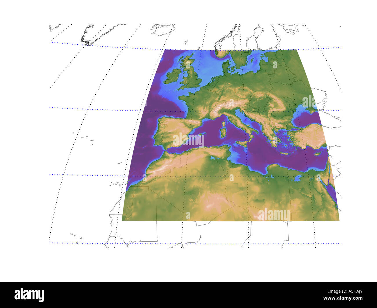 Western Europe mediteranean altitude sea depth map map globe chart topographic Stock Photohttps://www.alamy.com/image-license-details/?v=1https://www.alamy.com/stock-photo-western-europe-mediteranean-altitude-sea-depth-map-map-globe-chart-11315138.html
RMA5HAJY–Western Europe mediteranean altitude sea depth map map globe chart topographic
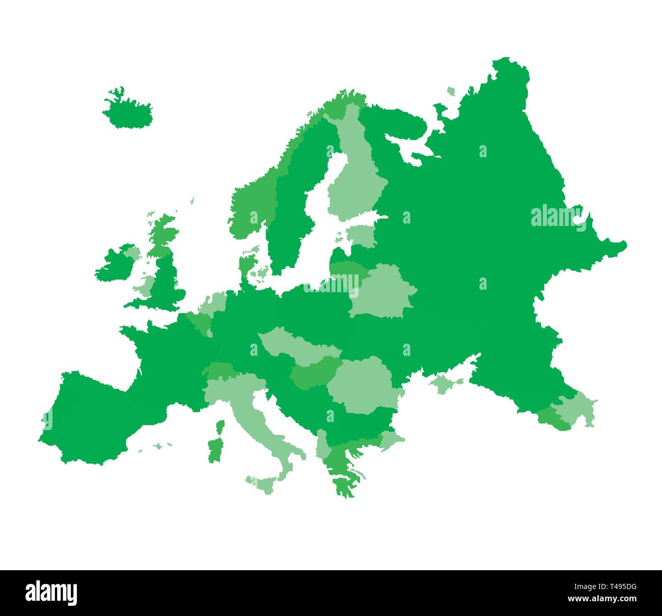 Europa vector illustration Stock Vectorhttps://www.alamy.com/image-license-details/?v=1https://www.alamy.com/europa-vector-illustration-image243605644.html
RFT495DG–Europa vector illustration
RF2H5W9FP–Europe map and flag icons. Geography borders of European countries. Vector illustration
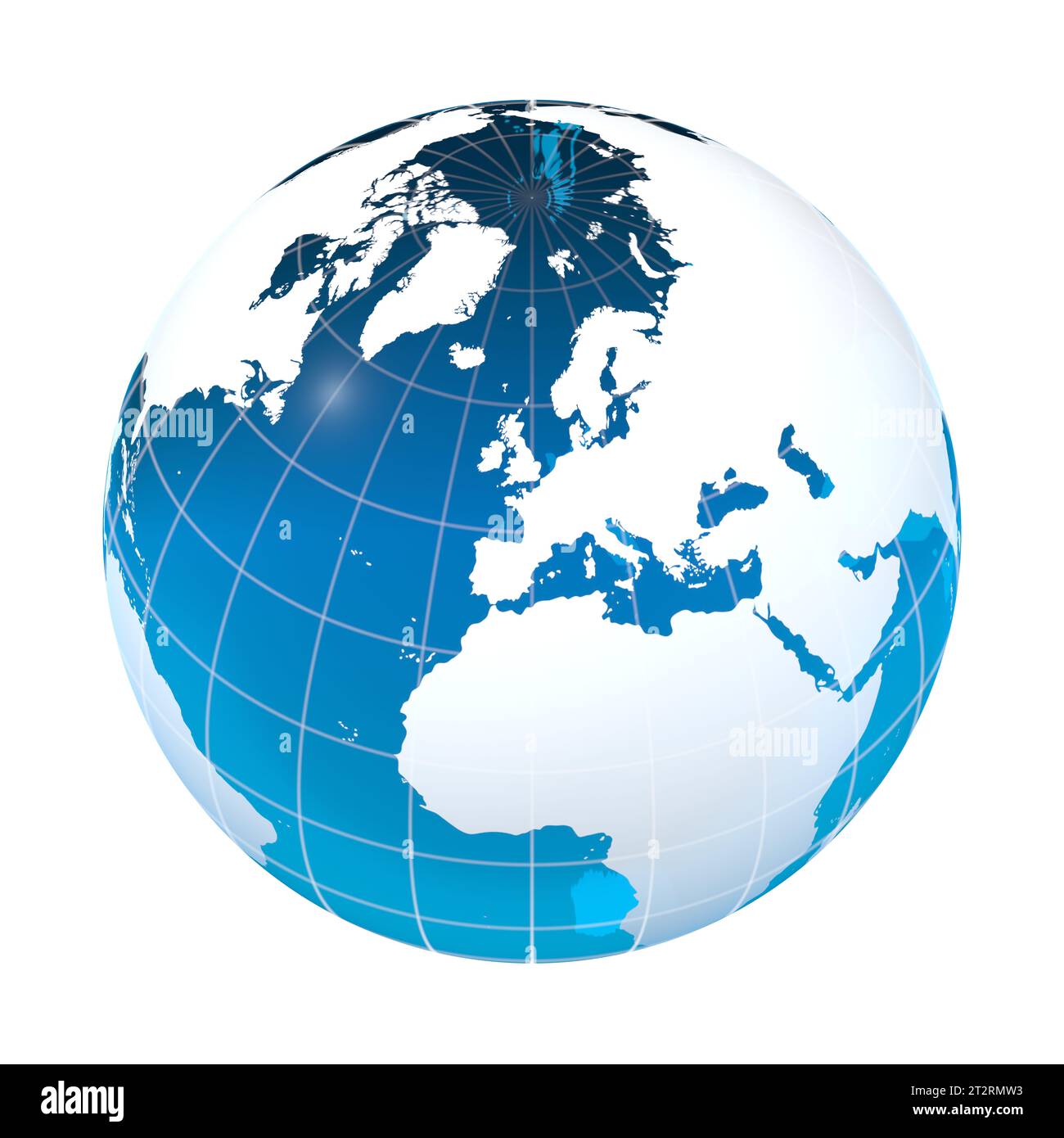 UK, Spain, Europe, earth globe, world map Stock Photohttps://www.alamy.com/image-license-details/?v=1https://www.alamy.com/uk-spain-europe-earth-globe-world-map-image569692735.html
RF2T2RMW3–UK, Spain, Europe, earth globe, world map
RFEA4GW4–EUROPE EEC World Earth Icon Globe Map
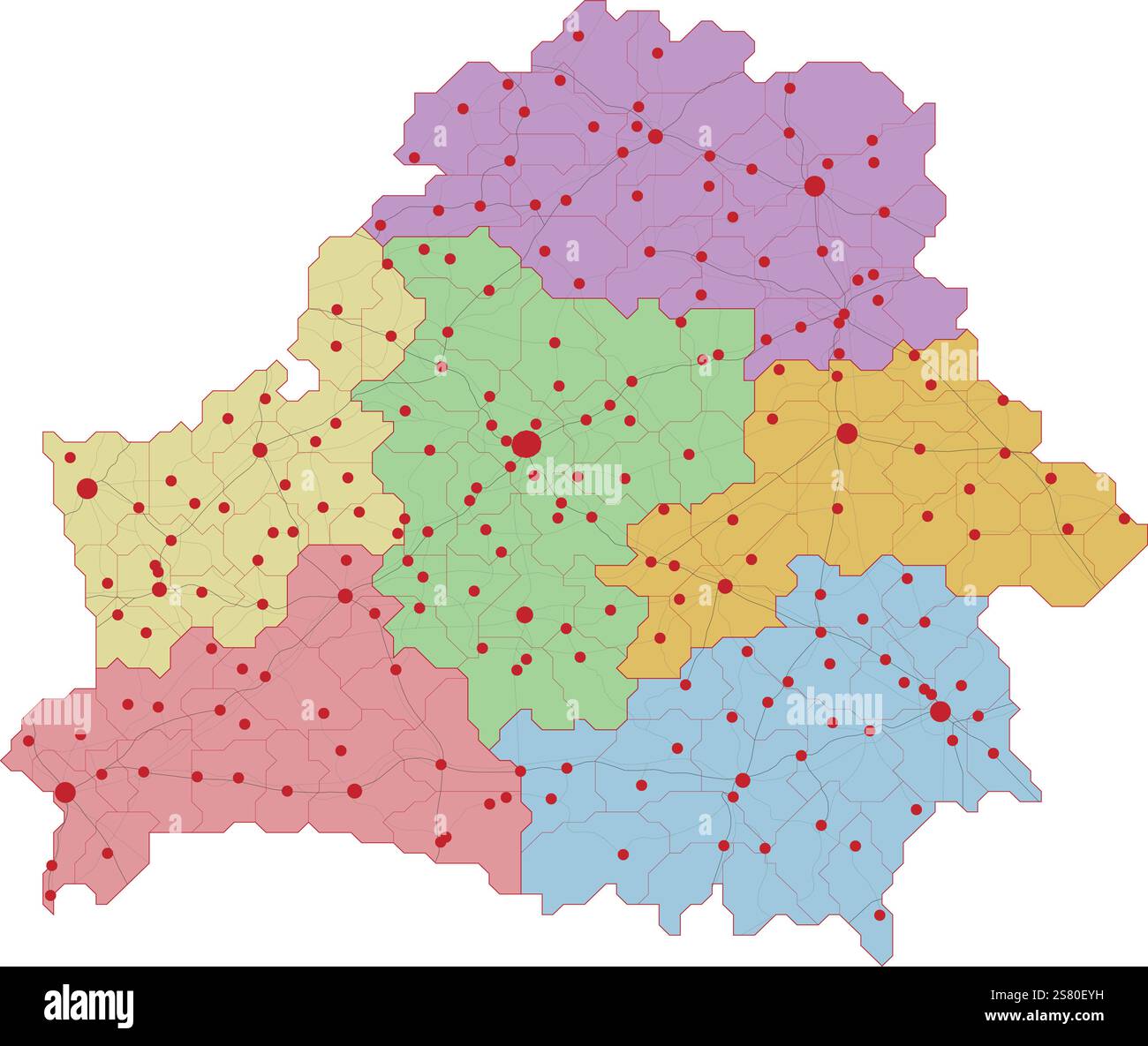 Map of Belarus with roads and major cities Stock Vectorhttps://www.alamy.com/image-license-details/?v=1https://www.alamy.com/map-of-belarus-with-roads-and-major-cities-image641712613.html
RF2S80EYH–Map of Belarus with roads and major cities
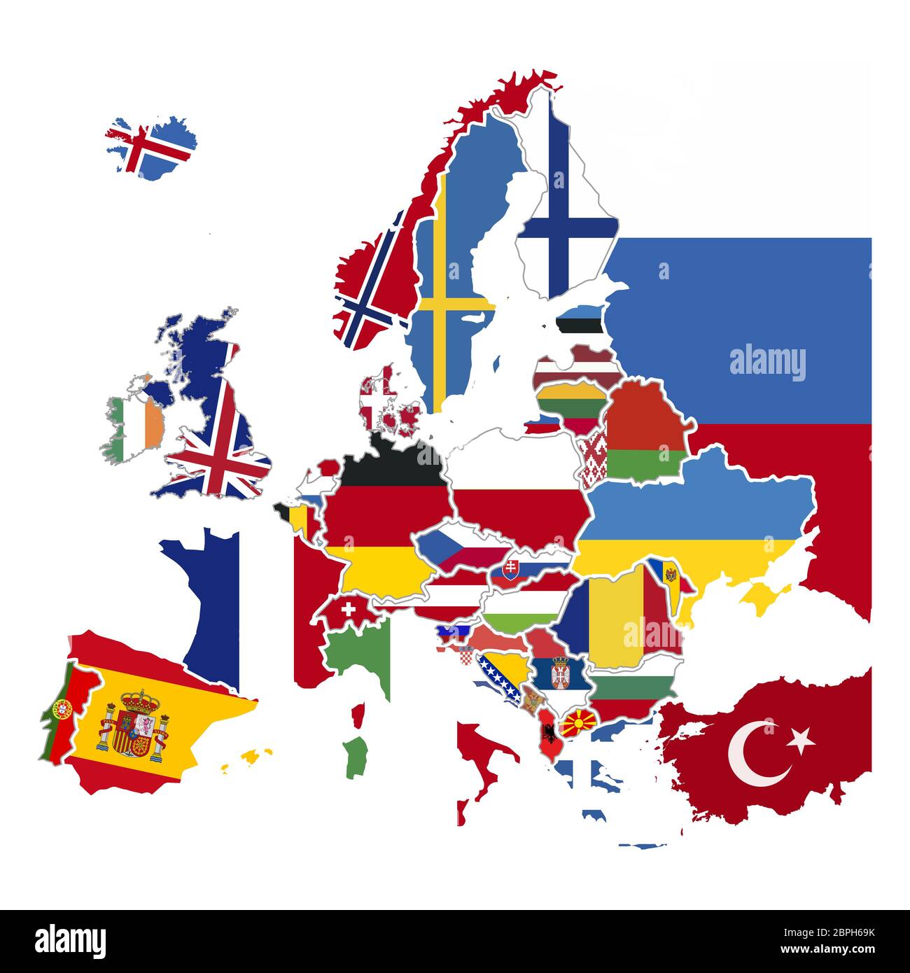 Detailed silhouettes of europe countries with national flags, europe map iso on white Stock Vectorhttps://www.alamy.com/image-license-details/?v=1https://www.alamy.com/detailed-silhouettes-of-europe-countries-with-national-flags-europe-map-iso-on-white-image358107951.html
RF2BPH69K–Detailed silhouettes of europe countries with national flags, europe map iso on white
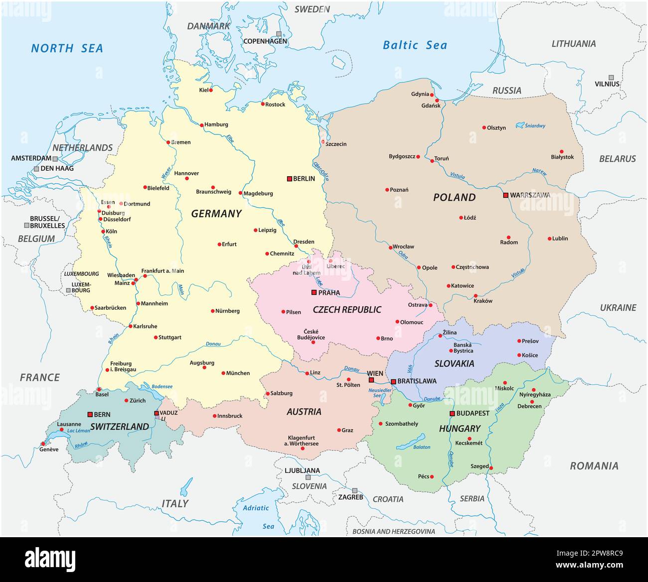 Vector map of the states of Central Europe Stock Vectorhttps://www.alamy.com/image-license-details/?v=1https://www.alamy.com/vector-map-of-the-states-of-central-europe-image549081801.html
RF2PW8RC9–Vector map of the states of Central Europe
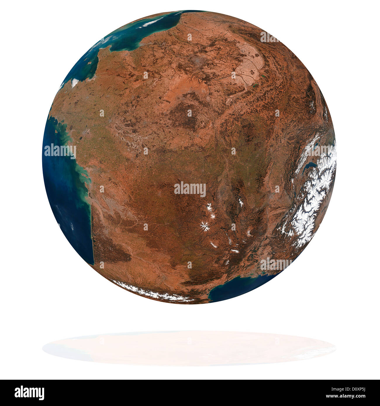 France Stock Photohttps://www.alamy.com/image-license-details/?v=1https://www.alamy.com/stock-photo-france-52219262.html
RFD0XP5J–France
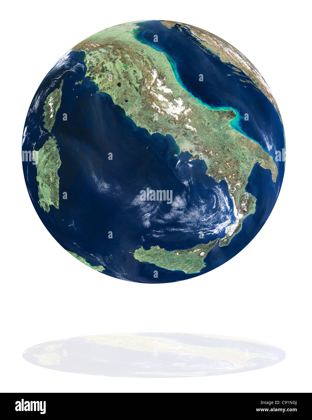 Italy on the Earth planet. Data source: Nasa Stock Photohttps://www.alamy.com/image-license-details/?v=1https://www.alamy.com/stock-photo-italy-on-the-earth-planet-data-source-nasa-39991522.html
RFC91NGJ–Italy on the Earth planet. Data source: Nasa
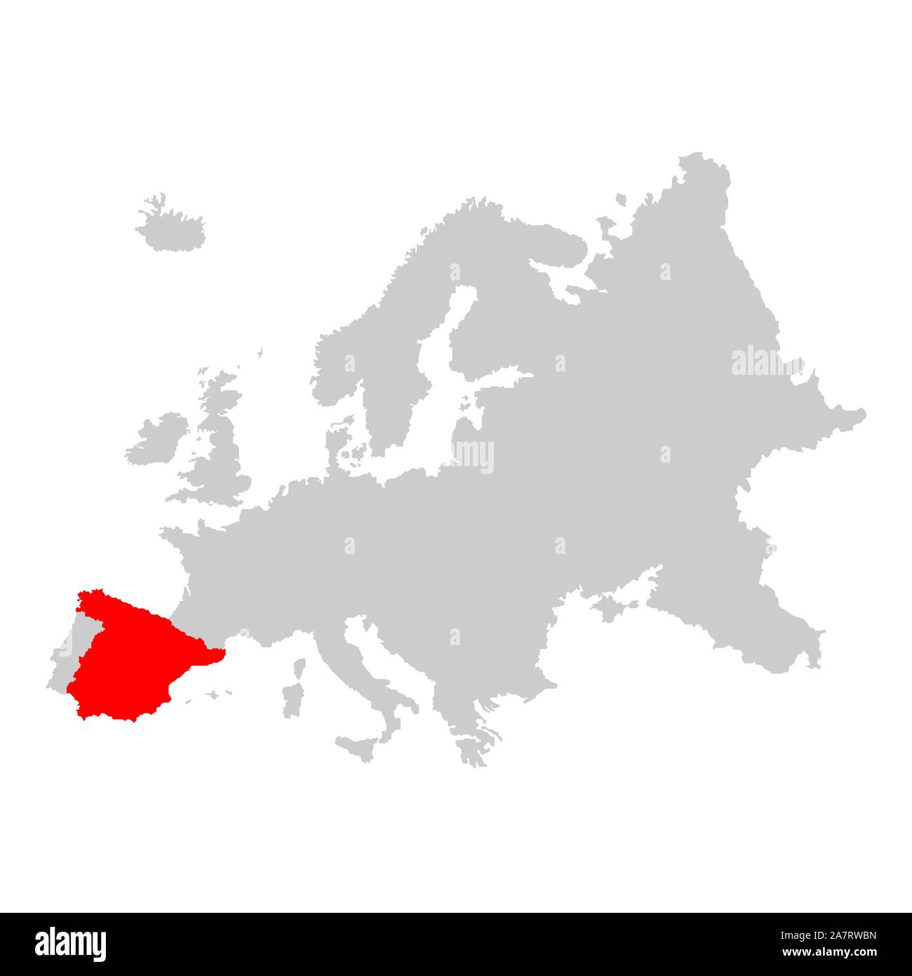 Spain on map of europe Stock Vectorhttps://www.alamy.com/image-license-details/?v=1https://www.alamy.com/spain-on-map-of-europe-image331824409.html
RF2A7RWBN–Spain on map of europe
 Vector illustration depicting the world. The terrestrial globe, the earth seen from space. Stock Vectorhttps://www.alamy.com/image-license-details/?v=1https://www.alamy.com/vector-illustration-depicting-the-world-the-terrestrial-globe-the-earth-seen-from-space-image414521718.html
RF2F2B2K2–Vector illustration depicting the world. The terrestrial globe, the earth seen from space.
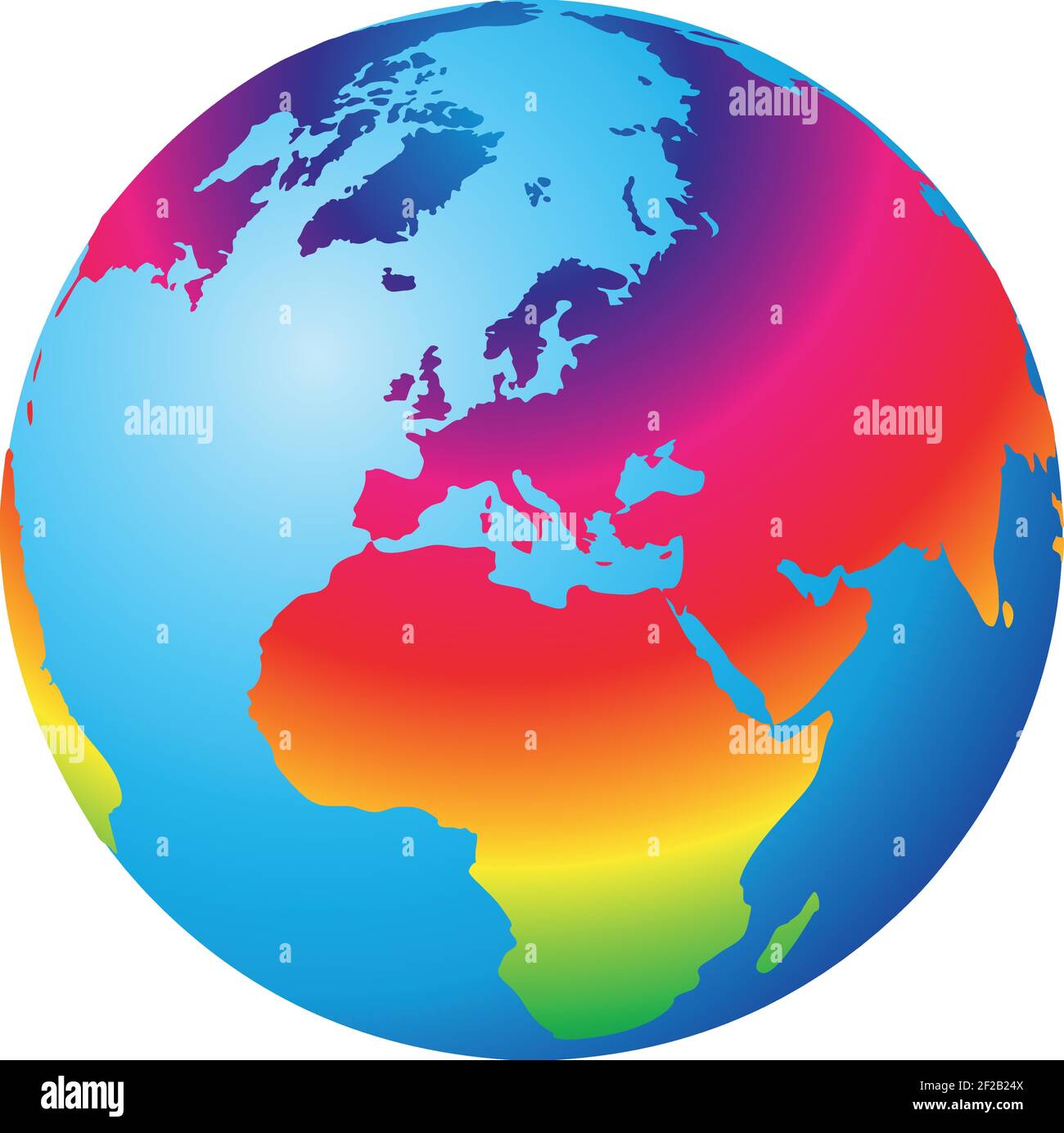 Vector illustration depicting the world. The terrestrial globe, the earth seen from space. Stock Vectorhttps://www.alamy.com/image-license-details/?v=1https://www.alamy.com/vector-illustration-depicting-the-world-the-terrestrial-globe-the-earth-seen-from-space-image414521322.html
RF2F2B24X–Vector illustration depicting the world. The terrestrial globe, the earth seen from space.
 Europe vector high detailed political map Stock Vectorhttps://www.alamy.com/image-license-details/?v=1https://www.alamy.com/europe-vector-high-detailed-political-map-image245982666.html
RFT85DB6–Europe vector high detailed political map
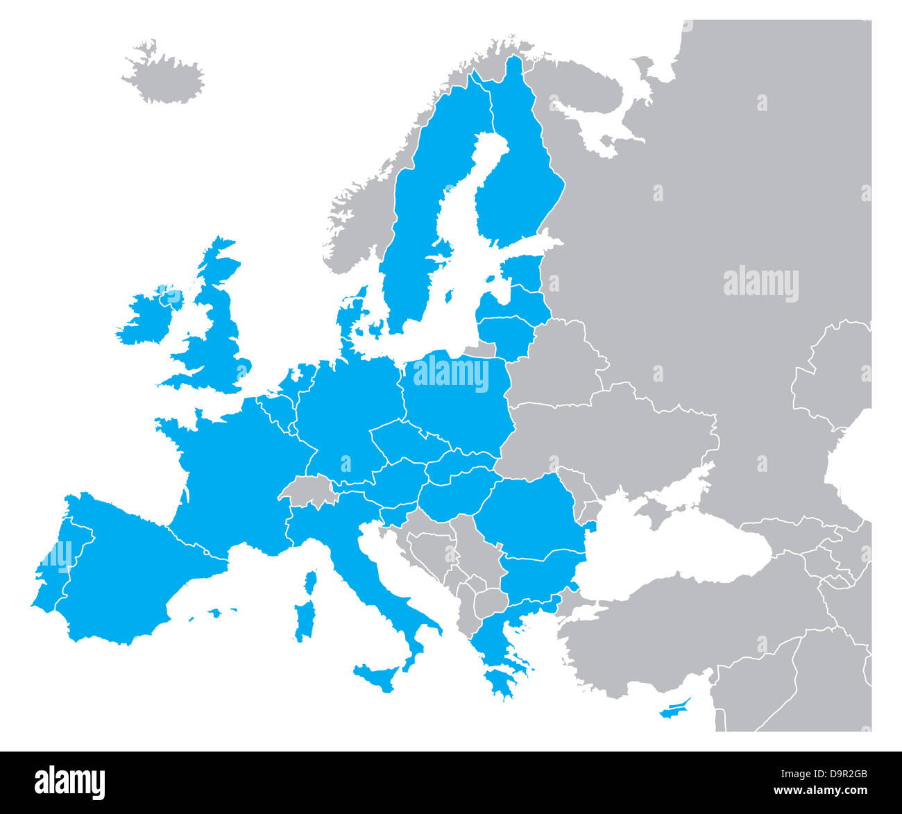 Blue Color Map of Europe Stock Photohttps://www.alamy.com/image-license-details/?v=1https://www.alamy.com/stock-photo-blue-color-map-of-europe-57669931.html
RFD9R2GB–Blue Color Map of Europe
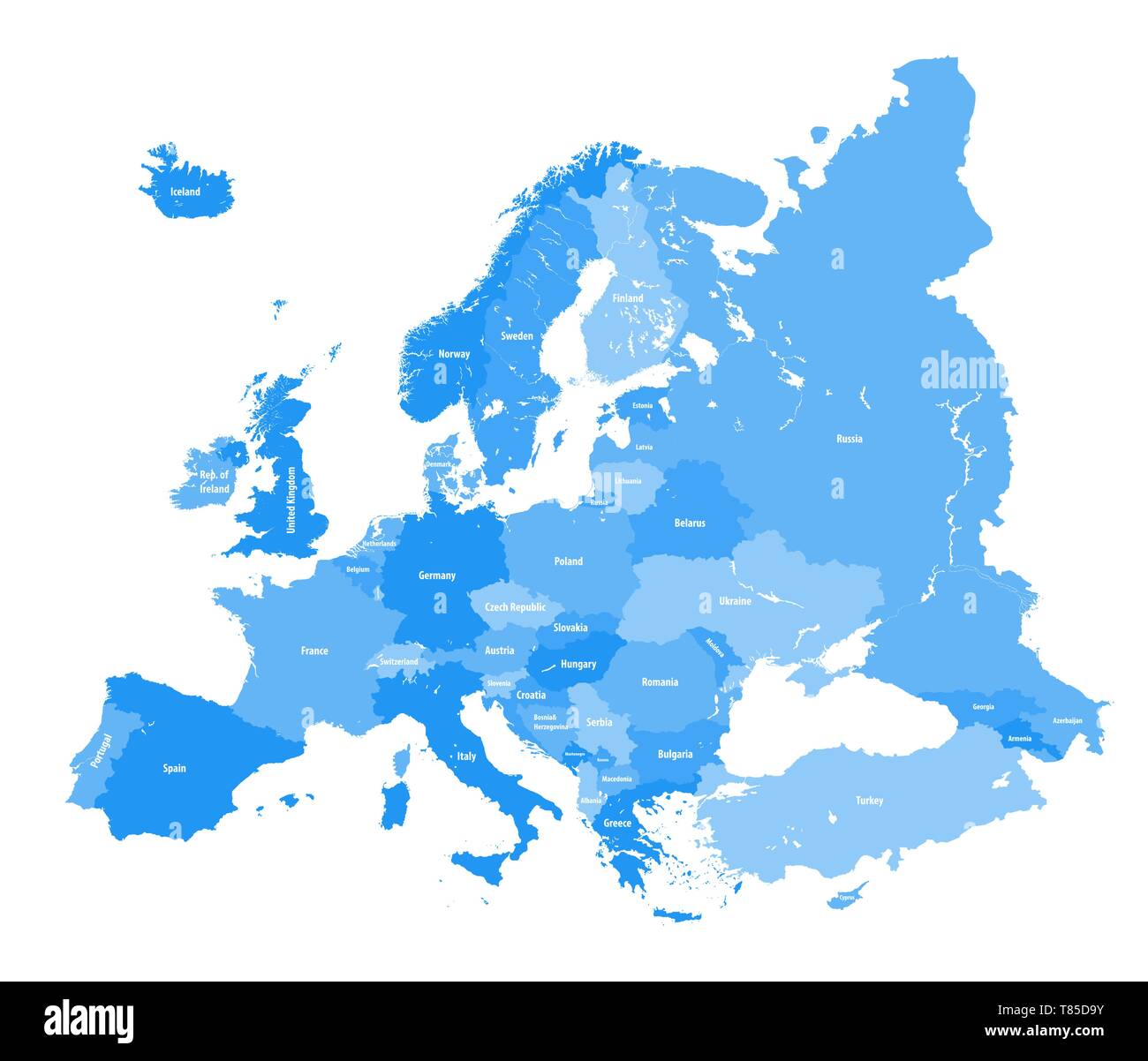 Europe vector high detailed political map Stock Vectorhttps://www.alamy.com/image-license-details/?v=1https://www.alamy.com/europe-vector-high-detailed-political-map-image245982631.html
RFT85D9Y–Europe vector high detailed political map
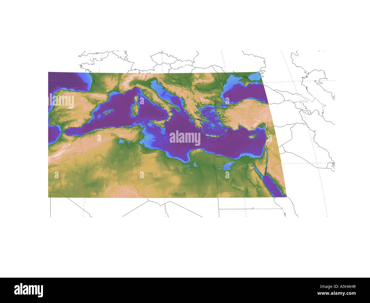 Topographic map of Western europe and mediteranenan with political borders Stock Photohttps://www.alamy.com/image-license-details/?v=1https://www.alamy.com/stock-photo-topographic-map-of-western-europe-and-mediteranenan-with-political-11315122.html
RMA5HAHR–Topographic map of Western europe and mediteranenan with political borders
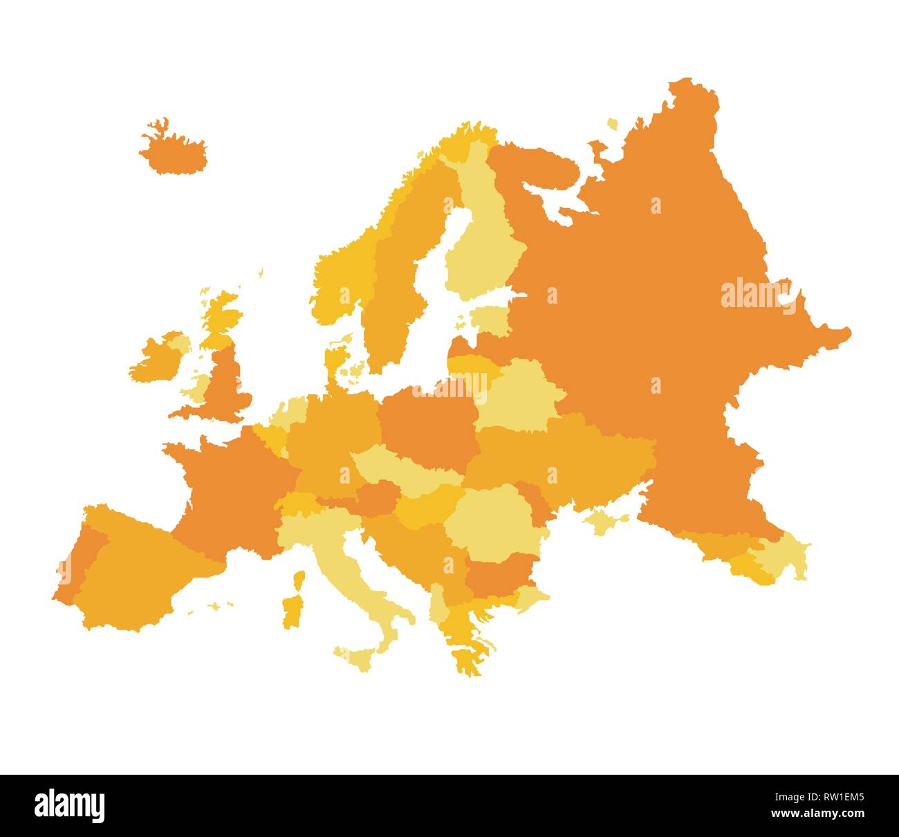 Europa vector illustration Stock Vectorhttps://www.alamy.com/image-license-details/?v=1https://www.alamy.com/europa-vector-illustration-image239134677.html
RFRW1EM5–Europa vector illustration
RFRKX3JD–Europe and Africa, Global World, Vector Map Icon of the World Globe
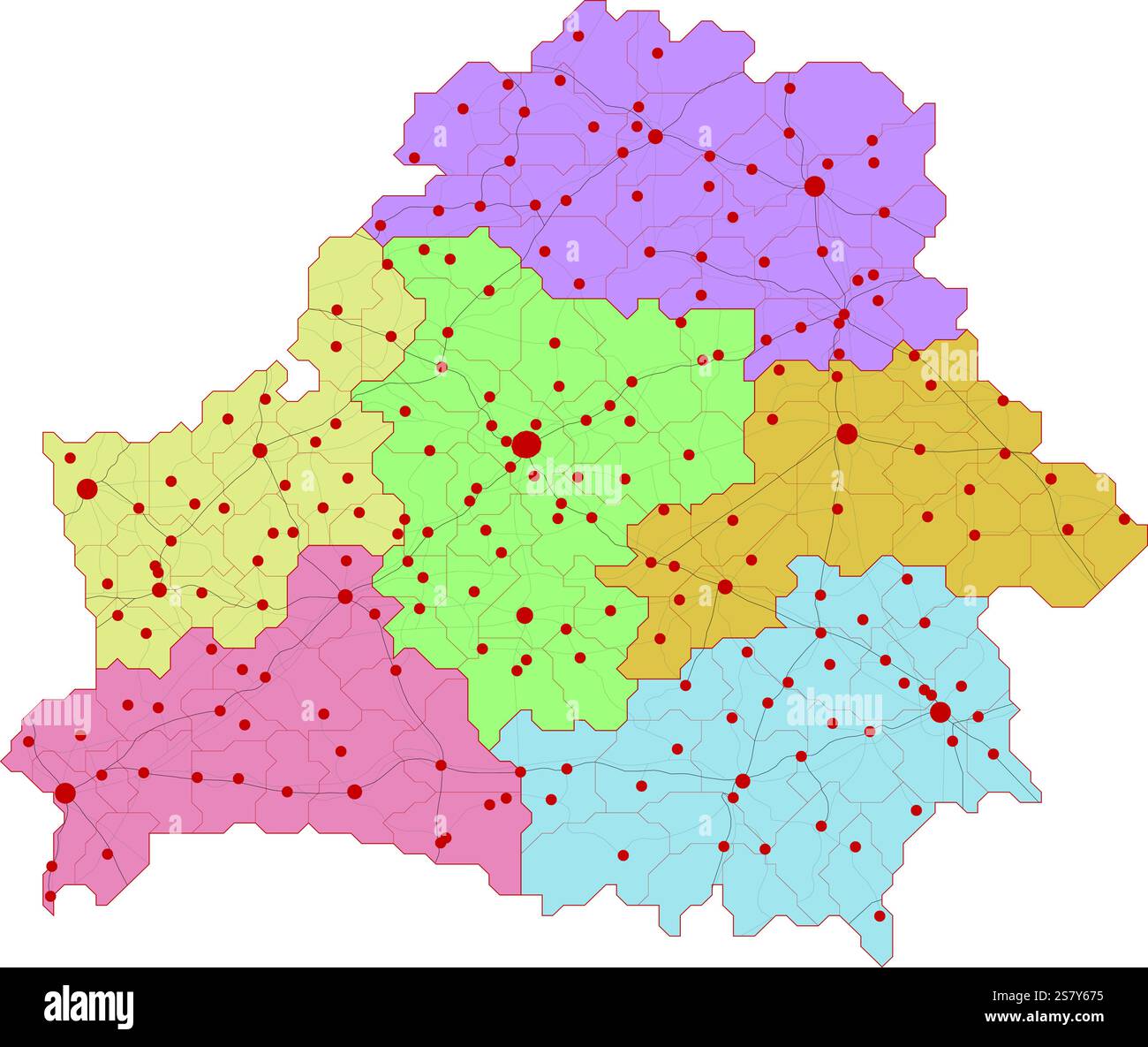 Map of Belarus with roads and major cities Stock Vectorhttps://www.alamy.com/image-license-details/?v=1https://www.alamy.com/map-of-belarus-with-roads-and-major-cities-image641683817.html
RF2S7Y675–Map of Belarus with roads and major cities
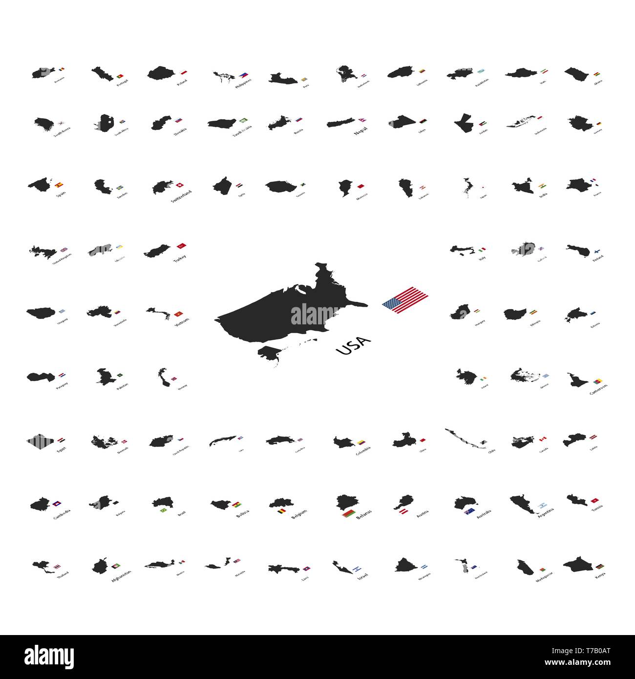 Large set of black silhouettes of world sovereign states with countries flags in isometric view isolated on white Stock Vectorhttps://www.alamy.com/image-license-details/?v=1https://www.alamy.com/large-set-of-black-silhouettes-of-world-sovereign-states-with-countries-flags-in-isometric-view-isolated-on-white-image245489520.html
RFT7B0AT–Large set of black silhouettes of world sovereign states with countries flags in isometric view isolated on white
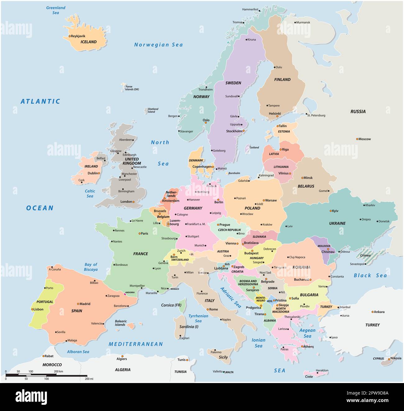 Colored political vector map of European states Stock Vectorhttps://www.alamy.com/image-license-details/?v=1https://www.alamy.com/colored-political-vector-map-of-european-states-image549095802.html
RF2PW9D8A–Colored political vector map of European states
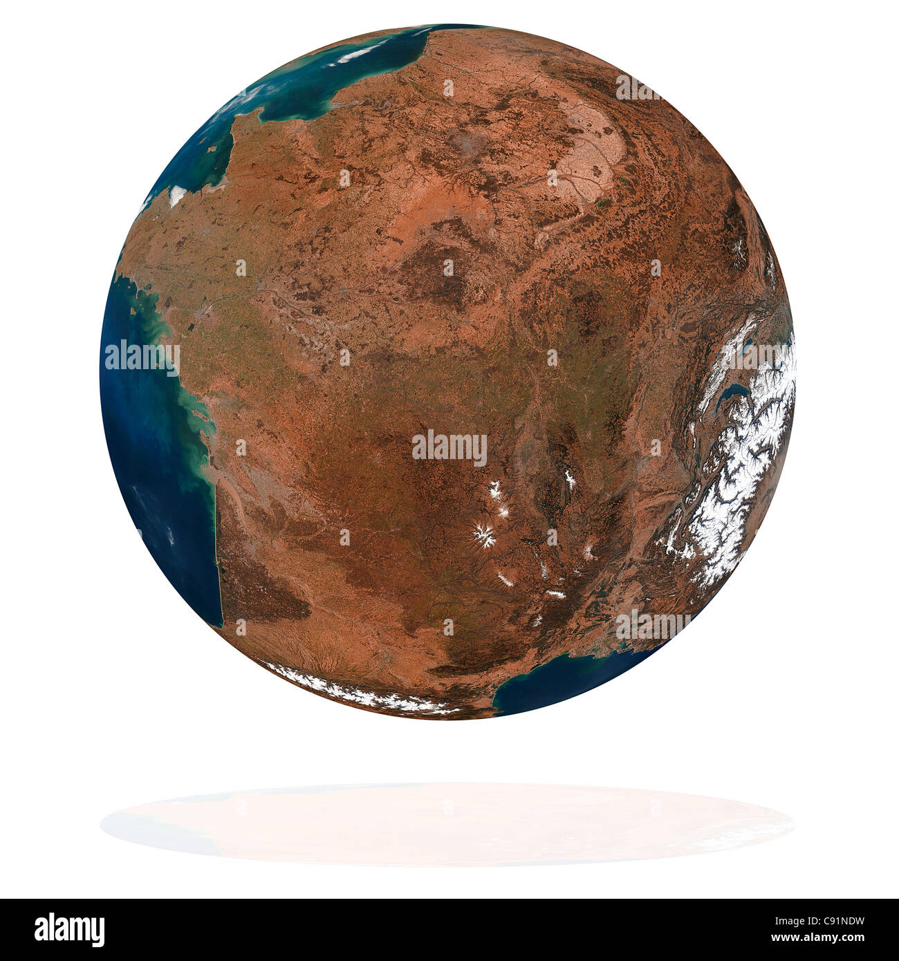 France on the Earth planet. Data source: Nasa Stock Photohttps://www.alamy.com/image-license-details/?v=1https://www.alamy.com/stock-photo-france-on-the-earth-planet-data-source-nasa-39991445.html
RFC91NDW–France on the Earth planet. Data source: Nasa
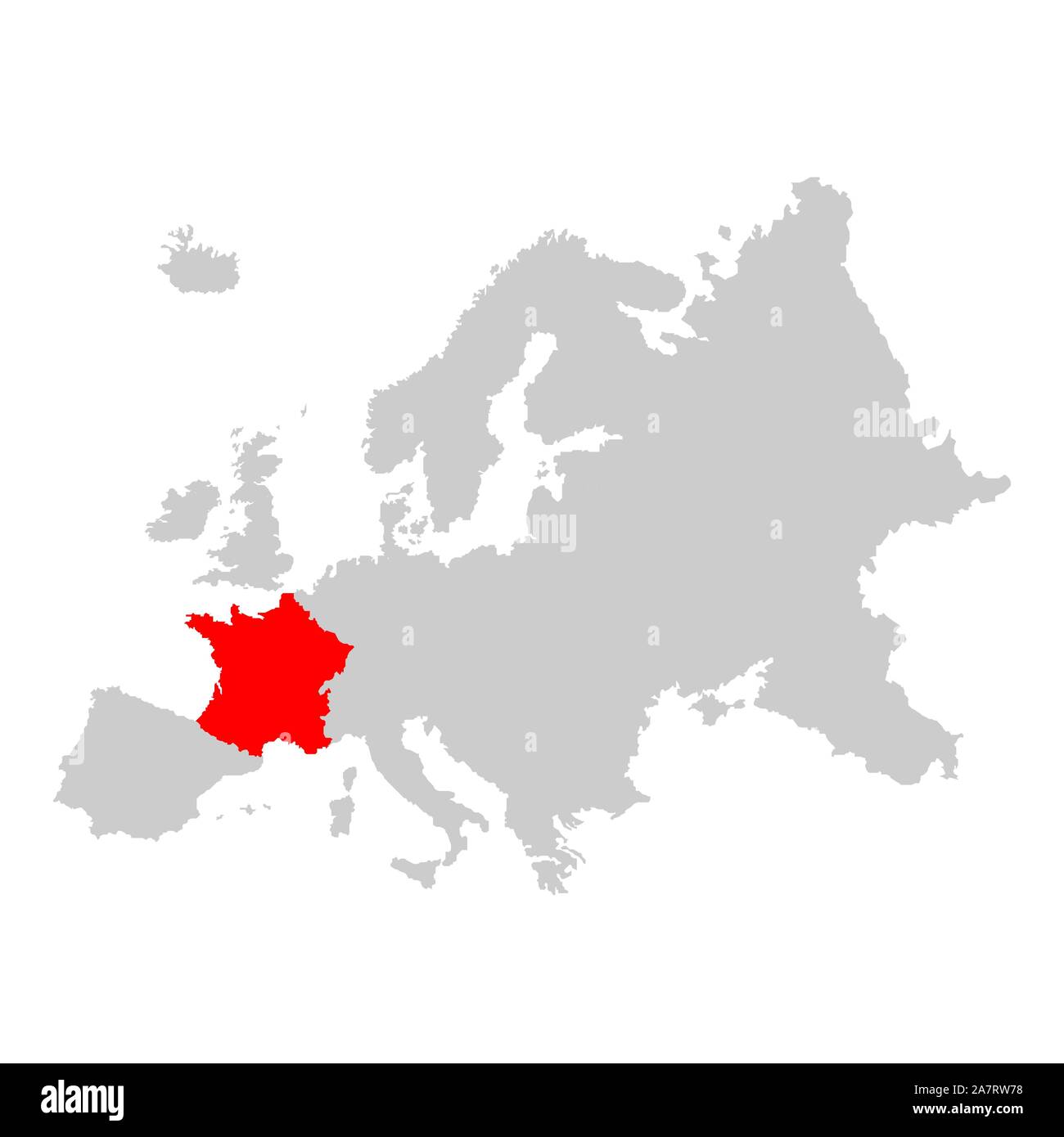 France on map of europe Stock Vectorhttps://www.alamy.com/image-license-details/?v=1https://www.alamy.com/france-on-map-of-europe-image331824284.html
RF2A7RW78–France on map of europe
 Vector illustration depicting the world. The terrestrial globe, the earth seen from space. Stock Vectorhttps://www.alamy.com/image-license-details/?v=1https://www.alamy.com/vector-illustration-depicting-the-world-the-terrestrial-globe-the-earth-seen-from-space-image414520808.html
RF2F2B1EG–Vector illustration depicting the world. The terrestrial globe, the earth seen from space.
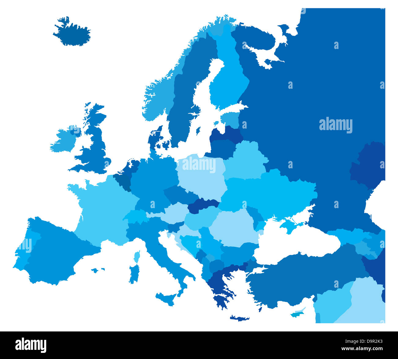 Blue Map of the European Countries Stock Photohttps://www.alamy.com/image-license-details/?v=1https://www.alamy.com/stock-photo-blue-map-of-the-european-countries-57670007.html
RFD9R2K3–Blue Map of the European Countries
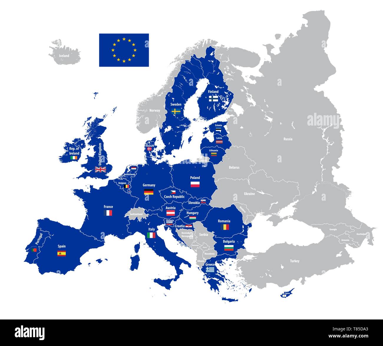 Europe vector high detailed political map Stock Vectorhttps://www.alamy.com/image-license-details/?v=1https://www.alamy.com/europe-vector-high-detailed-political-map-image245982635.html
RFT85DA3–Europe vector high detailed political map
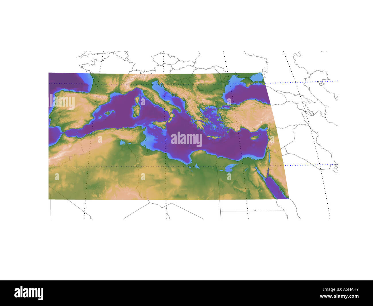 Topographic map of Western europe and mediteranenan with political borders Stock Photohttps://www.alamy.com/image-license-details/?v=1https://www.alamy.com/stock-photo-topographic-map-of-western-europe-and-mediteranenan-with-political-11315126.html
RMA5HAHY–Topographic map of Western europe and mediteranenan with political borders
RFRM5A9A–Europe, Russia and Africa, Global World, Vector Map Icon of the World Globe
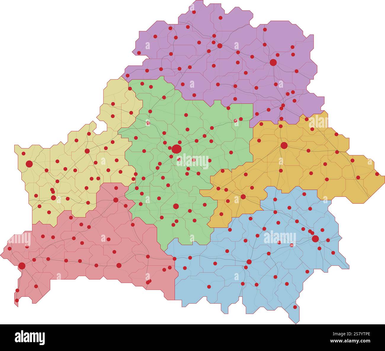 Map of Belarus with roads and major cities Stock Vectorhttps://www.alamy.com/image-license-details/?v=1https://www.alamy.com/map-of-belarus-with-roads-and-major-cities-image641698358.html
RF2S7YTPE–Map of Belarus with roads and major cities
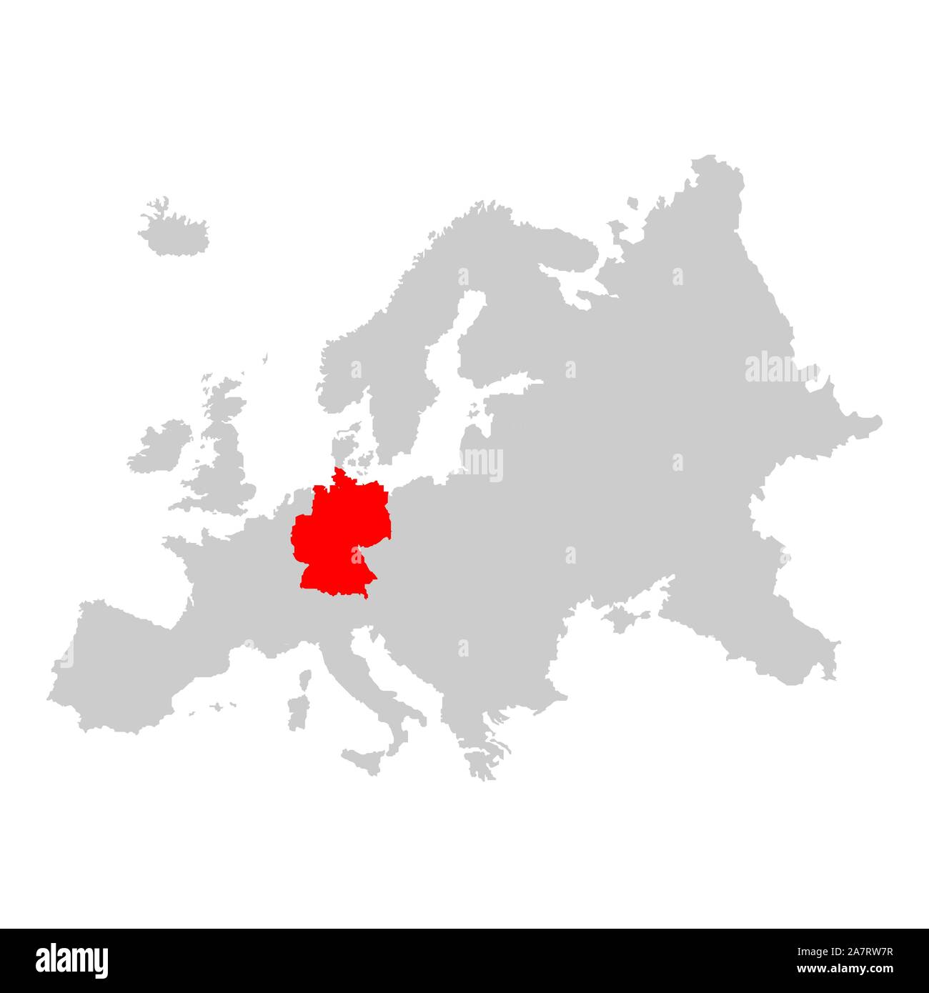 Germany on map of europe Stock Vectorhttps://www.alamy.com/image-license-details/?v=1https://www.alamy.com/germany-on-map-of-europe-image331824299.html
RF2A7RW7R–Germany on map of europe
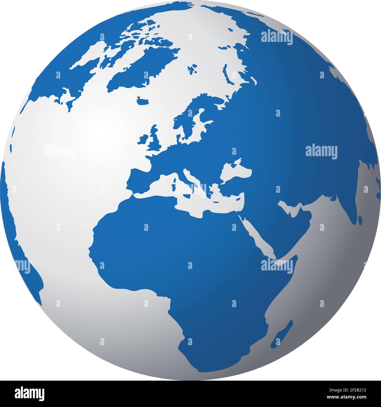 Vector illustration depicting the world. The terrestrial globe, the earth seen from space. Stock Vectorhttps://www.alamy.com/image-license-details/?v=1https://www.alamy.com/vector-illustration-depicting-the-world-the-terrestrial-globe-the-earth-seen-from-space-image414521214.html
RF2F2B212–Vector illustration depicting the world. The terrestrial globe, the earth seen from space.
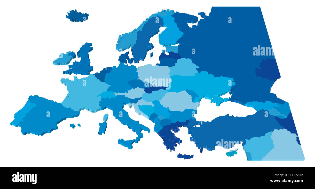 3D Color Country Map of Europe Stock Photohttps://www.alamy.com/image-license-details/?v=1https://www.alamy.com/stock-photo-3d-color-country-map-of-europe-57669495.html
RFD9R20R–3D Color Country Map of Europe
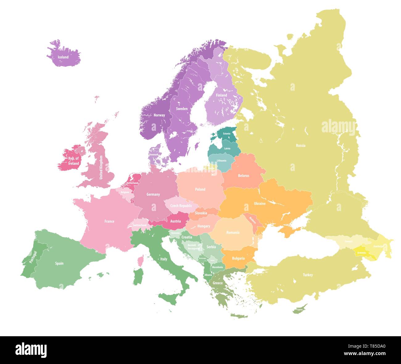 Europe vector high detailed political map Stock Vectorhttps://www.alamy.com/image-license-details/?v=1https://www.alamy.com/europe-vector-high-detailed-political-map-image245982632.html
RFT85DA0–Europe vector high detailed political map
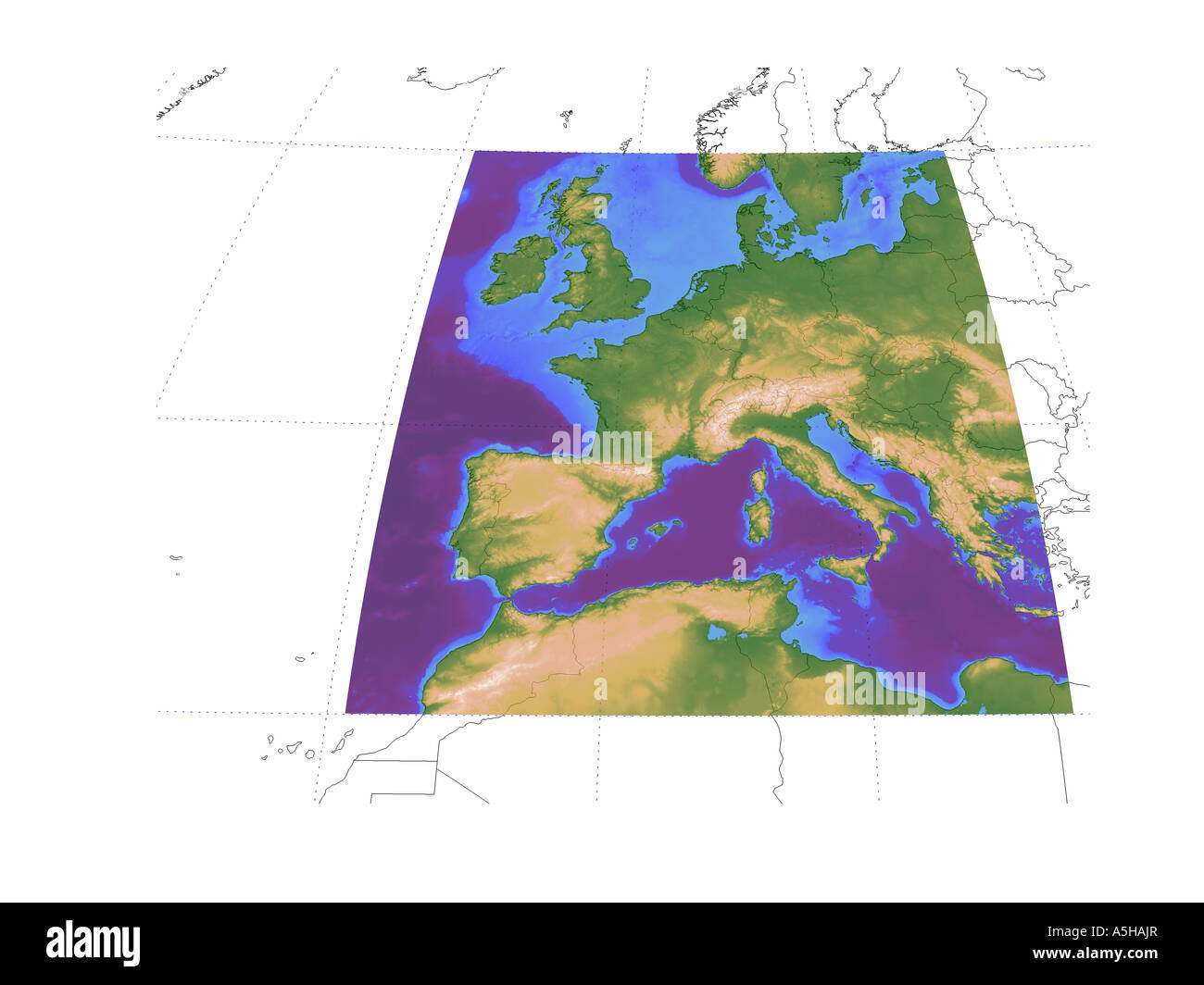 Western Europe mediteranean altitude sea depth map map globe chart topographic Stock Photohttps://www.alamy.com/image-license-details/?v=1https://www.alamy.com/stock-photo-western-europe-mediteranean-altitude-sea-depth-map-map-globe-chart-11315134.html
RMA5HAJR–Western Europe mediteranean altitude sea depth map map globe chart topographic
RFRKYTW6–Middle East, Russia, Europe, and Africa, Global World, Vector Map Icon of the World Globe
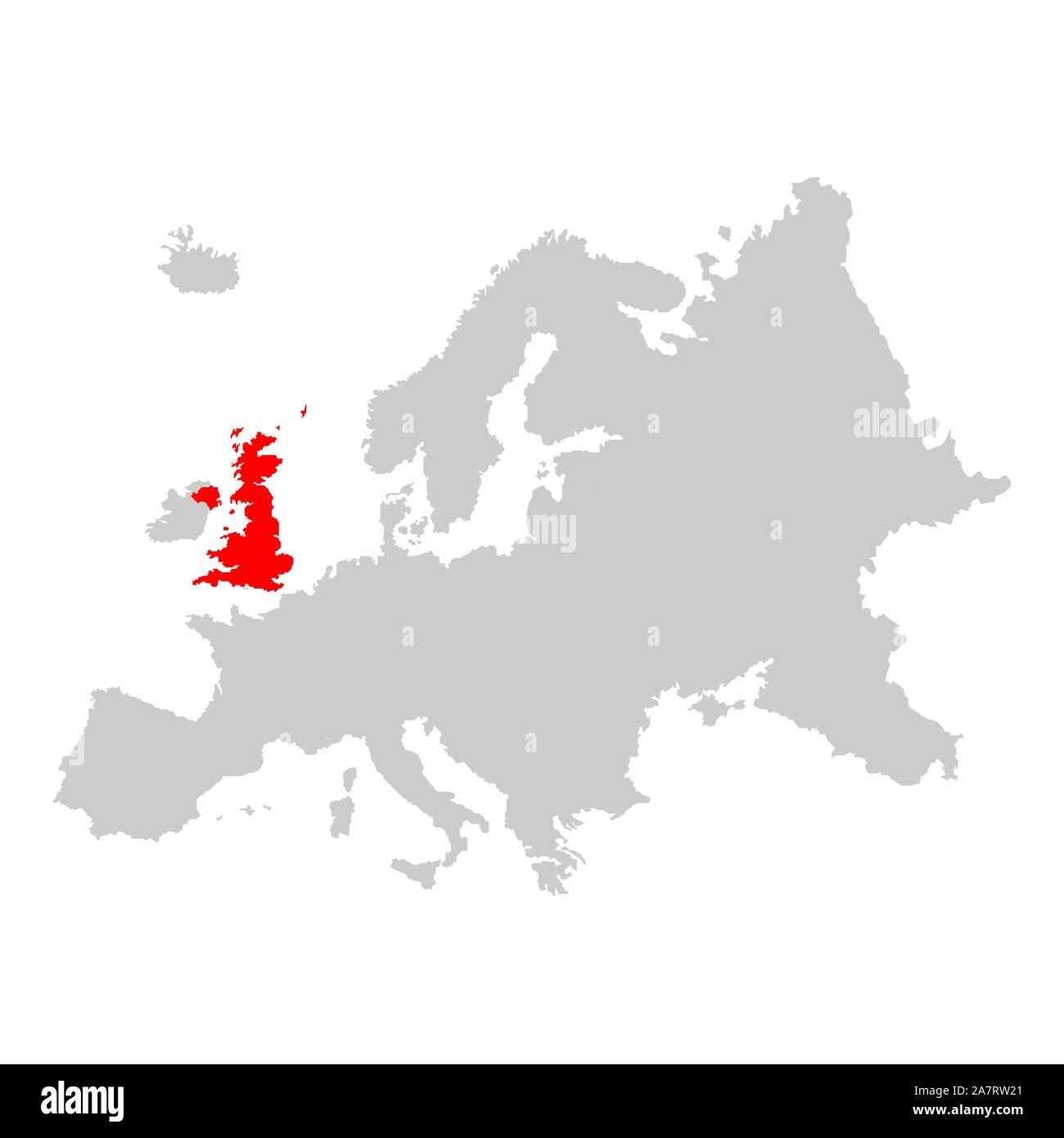 UK on map of europe Stock Vectorhttps://www.alamy.com/image-license-details/?v=1https://www.alamy.com/uk-on-map-of-europe-image331824137.html
RF2A7RW21–UK on map of europe
 Vector illustration depicting the world. The terrestrial globe, the earth seen from space. Stock Vectorhttps://www.alamy.com/image-license-details/?v=1https://www.alamy.com/vector-illustration-depicting-the-world-the-terrestrial-globe-the-earth-seen-from-space-image414521330.html
RF2F2B256–Vector illustration depicting the world. The terrestrial globe, the earth seen from space.
