India state map Black & White Stock Photos
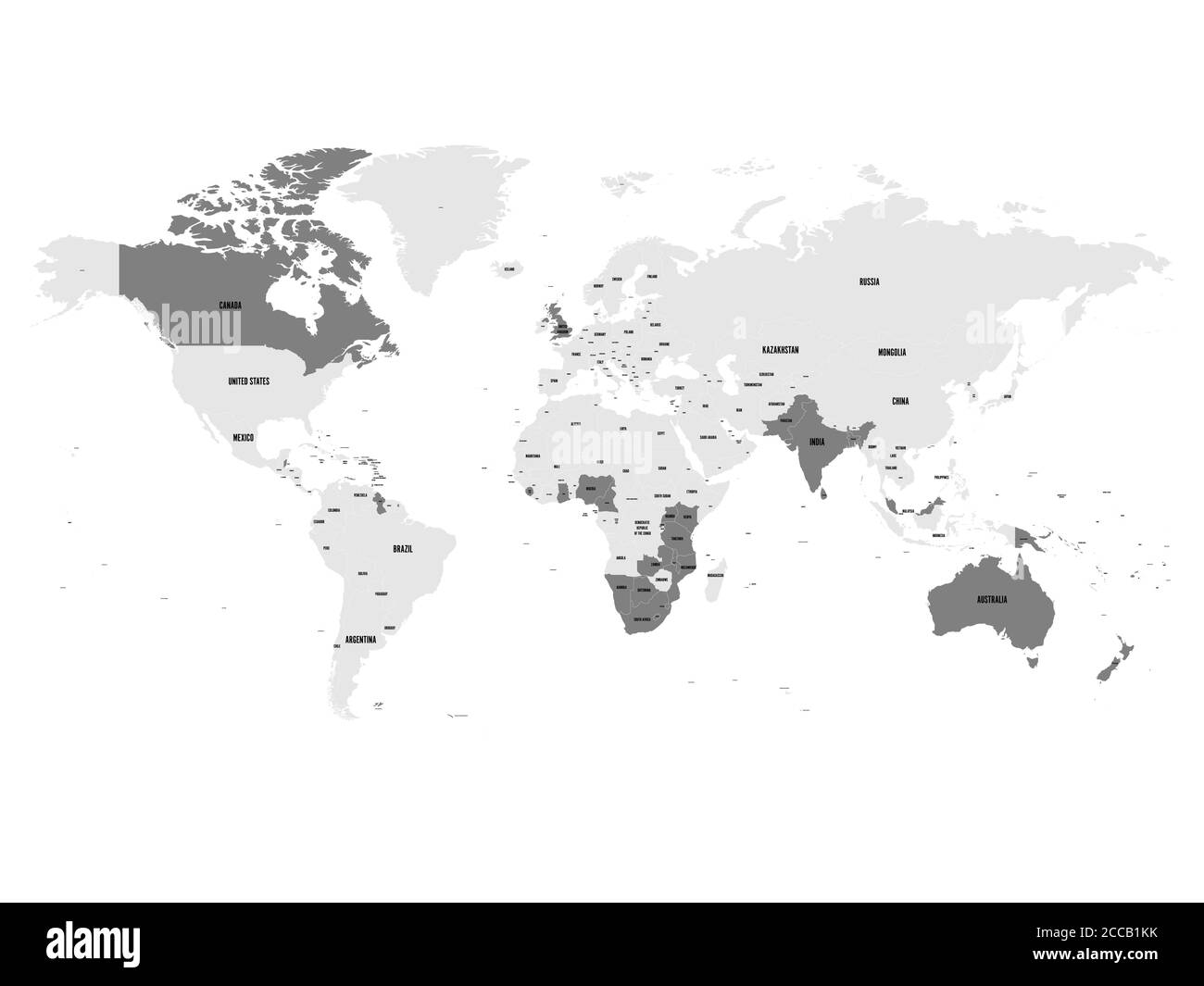 Member states of the British Commonwealth blue highlighted in the world map. Vector illustration. Stock Vectorhttps://www.alamy.com/image-license-details/?v=1https://www.alamy.com/member-states-of-the-british-commonwealth-blue-highlighted-in-the-world-map-vector-illustration-image369036407.html
RF2CCB1KK–Member states of the British Commonwealth blue highlighted in the world map. Vector illustration.
 India set of three maps - solid map, outline map and map highlighting administrative divisions. Three distinct maps illustrate various representations of a geographical area. Stock Vectorhttps://www.alamy.com/image-license-details/?v=1https://www.alamy.com/india-set-of-three-maps-solid-map-outline-map-and-map-highlighting-administrative-divisions-three-distinct-maps-illustrate-various-representations-of-a-geographical-area-image637674995.html
RF2S1CGXY–India set of three maps - solid map, outline map and map highlighting administrative divisions. Three distinct maps illustrate various representations of a geographical area.
 India vector country map silhouette Stock Vectorhttps://www.alamy.com/image-license-details/?v=1https://www.alamy.com/india-vector-country-map-silhouette-image464955121.html
RF2J0CF01–India vector country map silhouette
 India vector country map outline Stock Vectorhttps://www.alamy.com/image-license-details/?v=1https://www.alamy.com/india-vector-country-map-outline-image474868996.html
RF2JGG470–India vector country map outline
RF2WTYXHD–India country simplified map. Thick black outline contour. Simple vector icon
RF2WNX64K–India country simplified map. Black dotted outline contour. Simple vector icon.
RF2WP8X1P–India country simplified map. Thin black outline contour. Simple vector icon
RF2WT76XM–India country simplified map. Black broken outline contour on white background. Simple vector icon
RF2WTNCNH–India country thin black outline silhouette. Simplified map. Vector icon isolated on white background.
RF2WMEA7P–India country simplified map. Grey stylish smooth map. Vector icons isolated on white background.
RF2WM8TXM–India country thick black outline silhouette. Simplified map. Vector icon isolated on white background.
RF2WRRAP4–India country simplified map. Black ink smooth outline contour on white background. Simple vector icon
RF3BEJFX4–India country dotted map. Black spot pixel illustration isolated on white background. Vector circle mosaic.
RF2WR2YYE–India country simplified map. Light grey silhouette with sharp corners isolated on white background. Simple vector icon
RF2XFJM93–India country simplified map.Thin triple pencil sketch outline isolated on white background. Simple vector icon
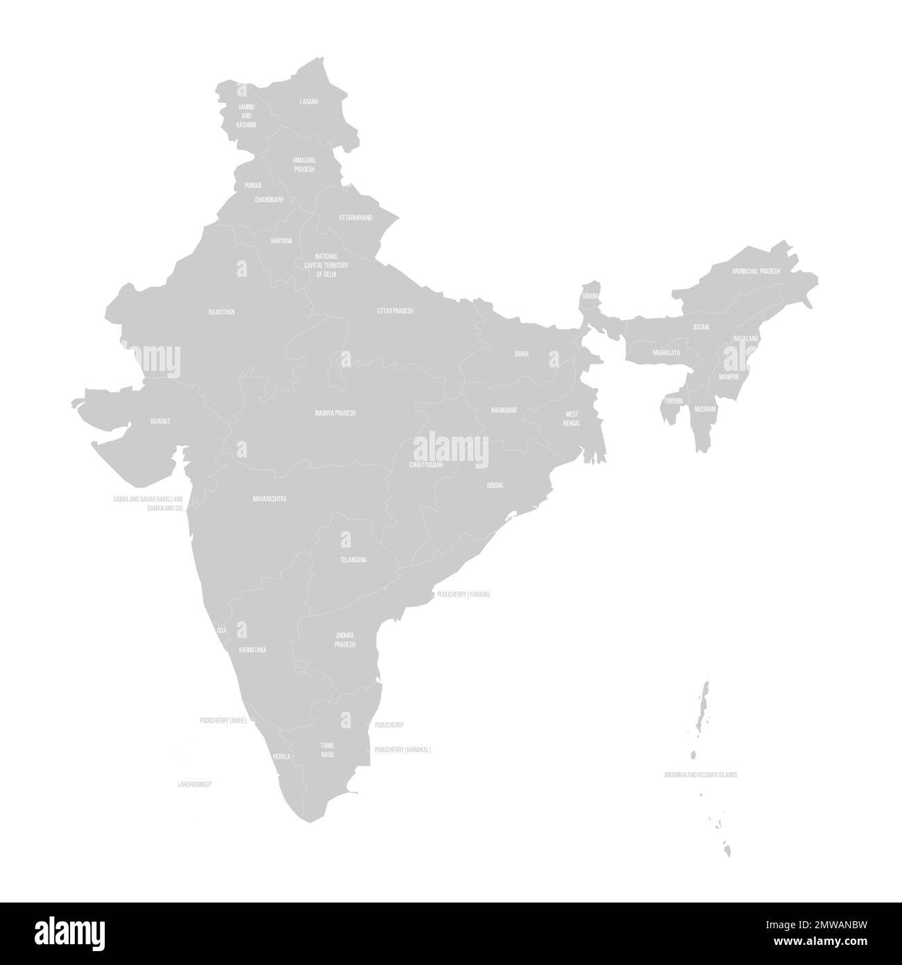 India political map of administrative divisions Stock Vectorhttps://www.alamy.com/image-license-details/?v=1https://www.alamy.com/india-political-map-of-administrative-divisions-image514703389.html
RF2MWANBW–India political map of administrative divisions
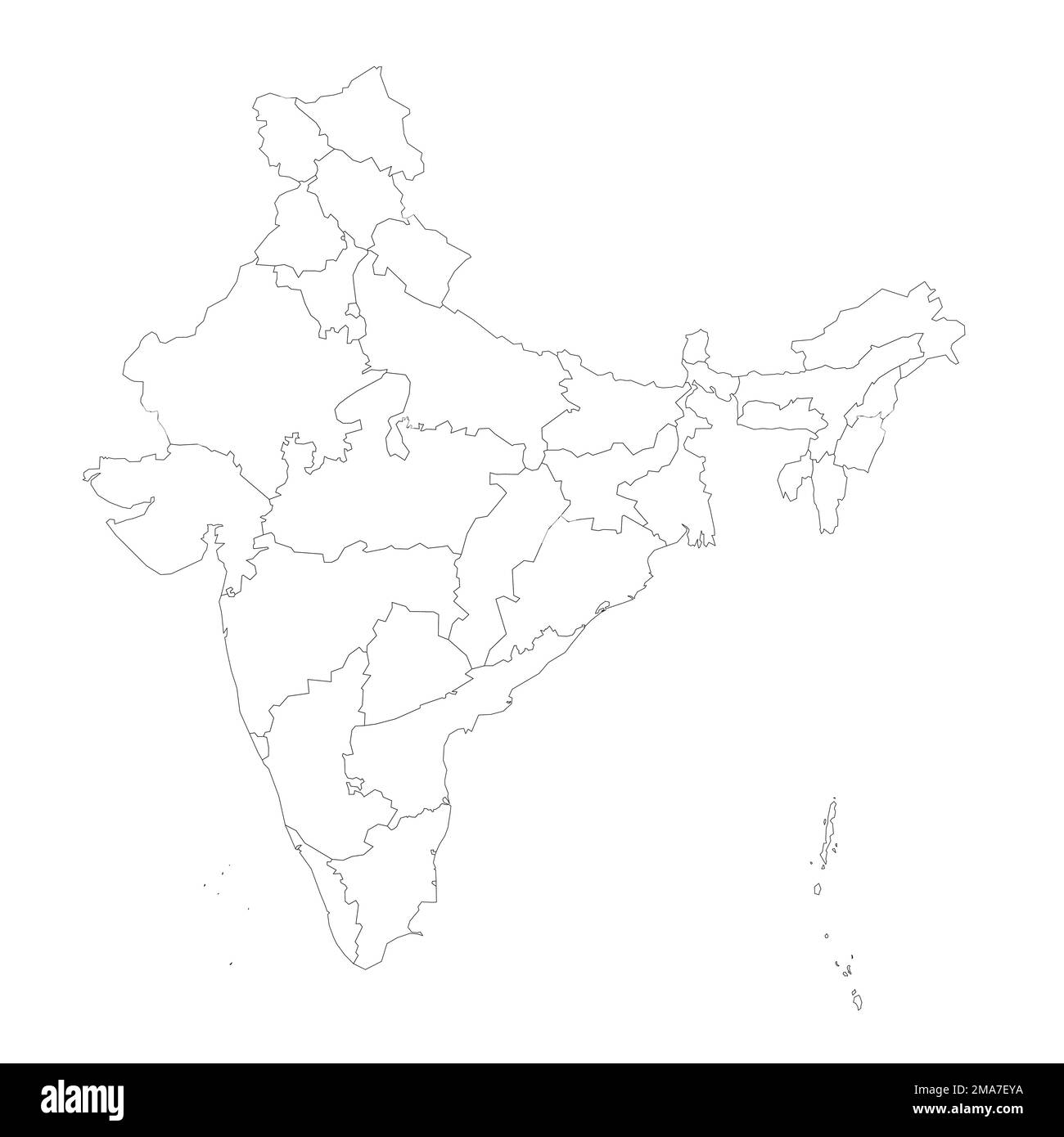 India political map of administrative divisions Stock Vectorhttps://www.alamy.com/image-license-details/?v=1https://www.alamy.com/india-political-map-of-administrative-divisions-image505412638.html
RF2MA7EYA–India political map of administrative divisions
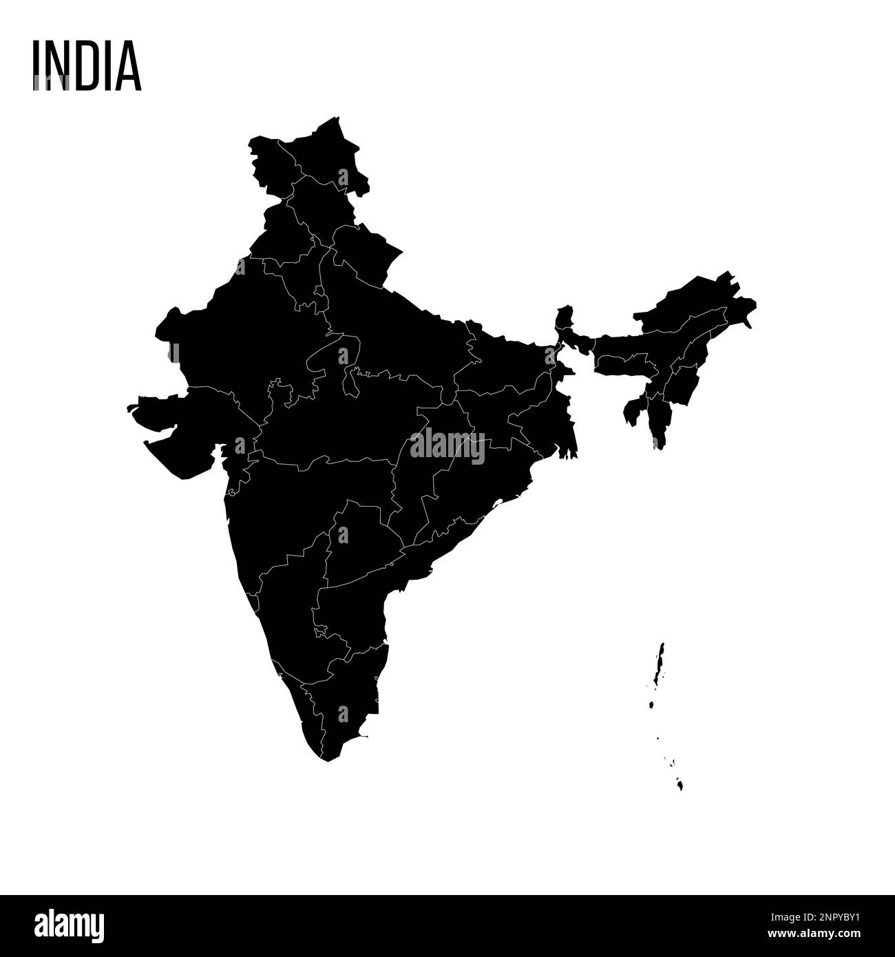 India political map of administrative divisions - states and union teritorries. Blank black map and country name title. Stock Vectorhttps://www.alamy.com/image-license-details/?v=1https://www.alamy.com/india-political-map-of-administrative-divisions-states-and-union-teritorries-blank-black-map-and-country-name-title-image530435557.html
RF2NPYBY1–India political map of administrative divisions - states and union teritorries. Blank black map and country name title.
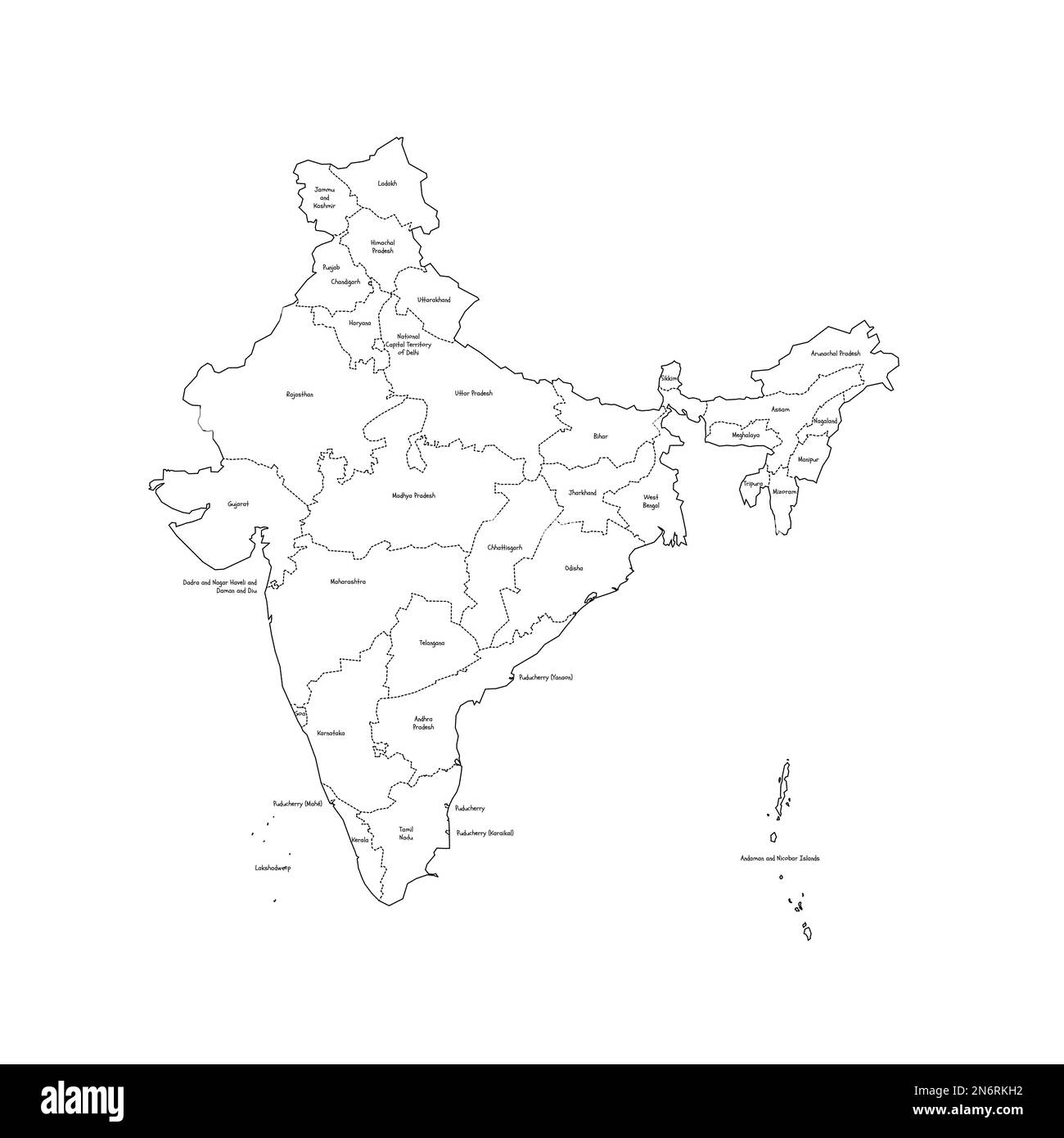 India political map of administrative divisions - states and union teritorries. Handdrawn doodle style map with black outline borders and name labels. Stock Vectorhttps://www.alamy.com/image-license-details/?v=1https://www.alamy.com/india-political-map-of-administrative-divisions-states-and-union-teritorries-handdrawn-doodle-style-map-with-black-outline-borders-and-name-labels-image520519246.html
RF2N6RKH2–India political map of administrative divisions - states and union teritorries. Handdrawn doodle style map with black outline borders and name labels.
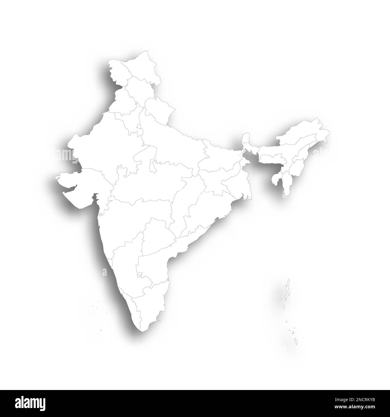 India political map of administrative divisions - states and union teritorries. Flat white blank map with thin black outline and dropped shadow. Stock Vectorhttps://www.alamy.com/image-license-details/?v=1https://www.alamy.com/india-political-map-of-administrative-divisions-states-and-union-teritorries-flat-white-blank-map-with-thin-black-outline-and-dropped-shadow-image524207471.html
RF2NCRKYB–India political map of administrative divisions - states and union teritorries. Flat white blank map with thin black outline and dropped shadow.
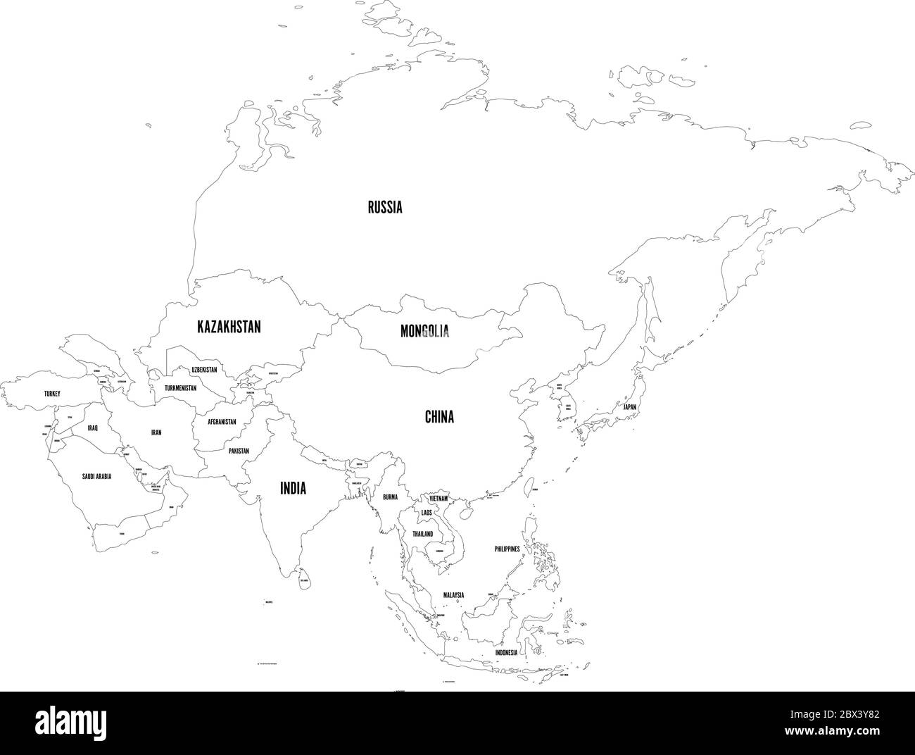 Political outline map of Asia continent. Vector illustration. Stock Vectorhttps://www.alamy.com/image-license-details/?v=1https://www.alamy.com/political-outline-map-of-asia-continent-vector-illustration-image360275666.html
RF2BX3Y82–Political outline map of Asia continent. Vector illustration.
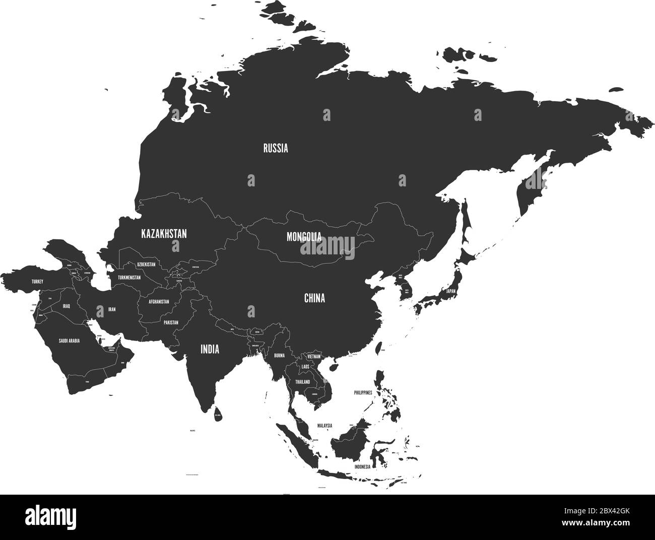 Political map of Asia in grey color. Vector illustration Stock Vectorhttps://www.alamy.com/image-license-details/?v=1https://www.alamy.com/political-map-of-asia-in-grey-color-vector-illustration-image360278259.html
RF2BX42GK–Political map of Asia in grey color. Vector illustration
 Blank political outline map of Asia continent. Vector illustration. Stock Vectorhttps://www.alamy.com/image-license-details/?v=1https://www.alamy.com/blank-political-outline-map-of-asia-continent-vector-illustration-image360274285.html
RF2BX3WEN–Blank political outline map of Asia continent. Vector illustration.
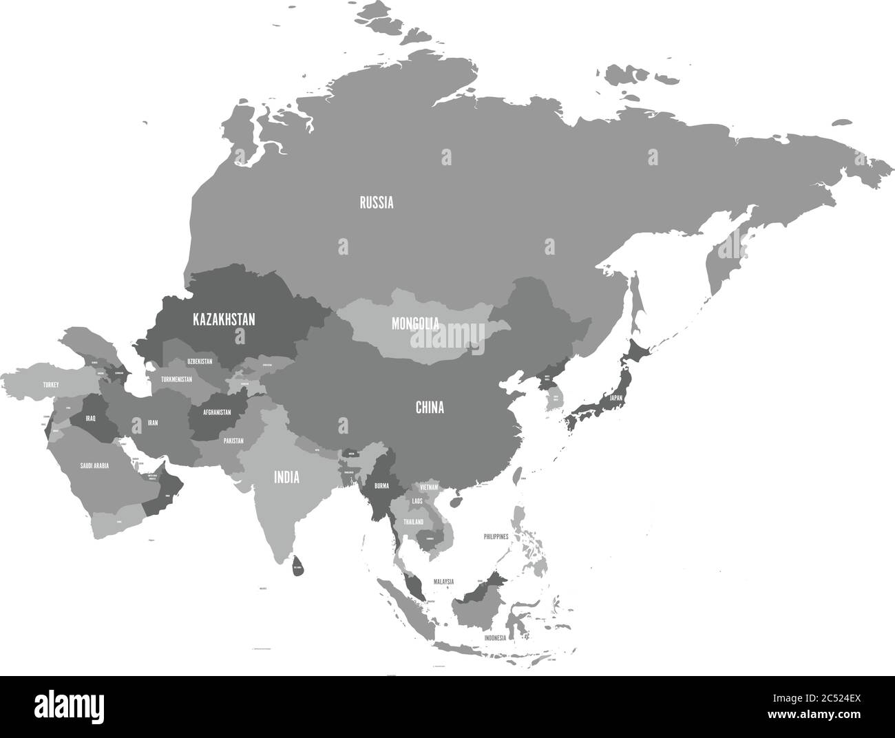 Political map of Asia continent in shades of grey. Vector illustration. Stock Vectorhttps://www.alamy.com/image-license-details/?v=1https://www.alamy.com/political-map-of-asia-continent-in-shades-of-grey-vector-illustration-image364538466.html
RF2C524EX–Political map of Asia continent in shades of grey. Vector illustration.
RF3BN0JK1–India country black outline silhouettes in three different levels of smoothness. Simplified maps. Vector icons isolated on white background.
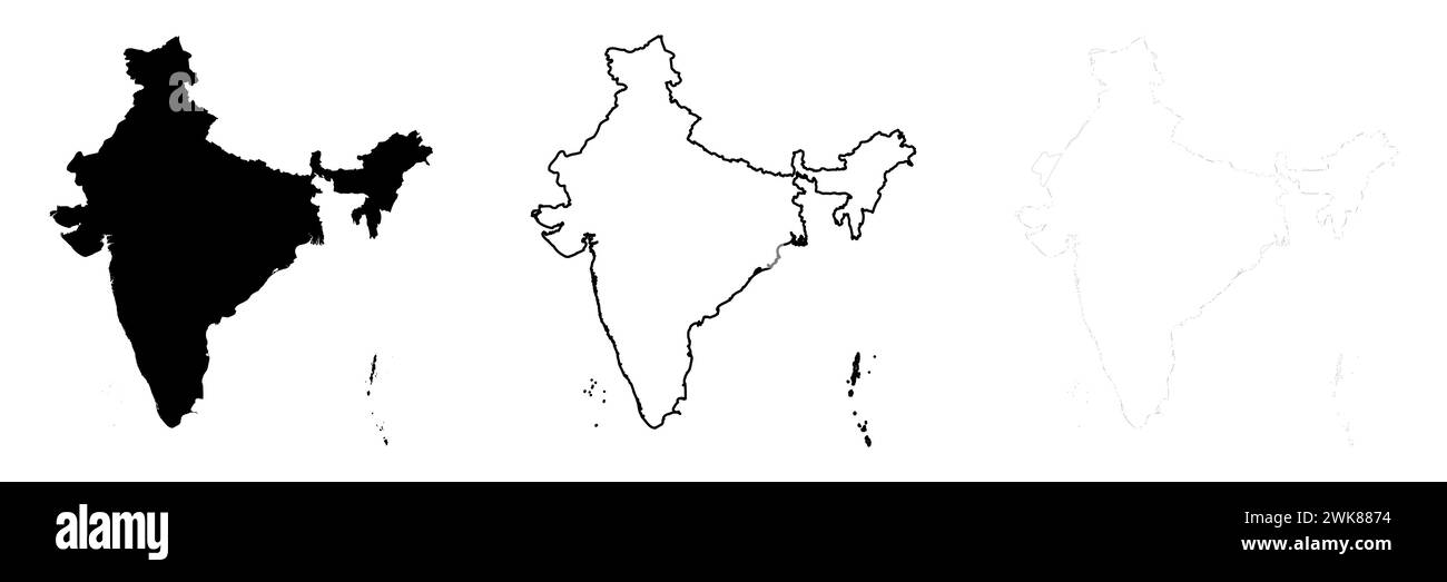 India country silhouette. Set of 3 high detailed maps. Solid black silhouette, thick black outline and thin black outline. Vector illustration isolated on white background. Stock Vectorhttps://www.alamy.com/image-license-details/?v=1https://www.alamy.com/india-country-silhouette-set-of-3-high-detailed-maps-solid-black-silhouette-thick-black-outline-and-thin-black-outline-vector-illustration-isolated-on-white-background-image597013064.html
RF2WK8874–India country silhouette. Set of 3 high detailed maps. Solid black silhouette, thick black outline and thin black outline. Vector illustration isolated on white background.
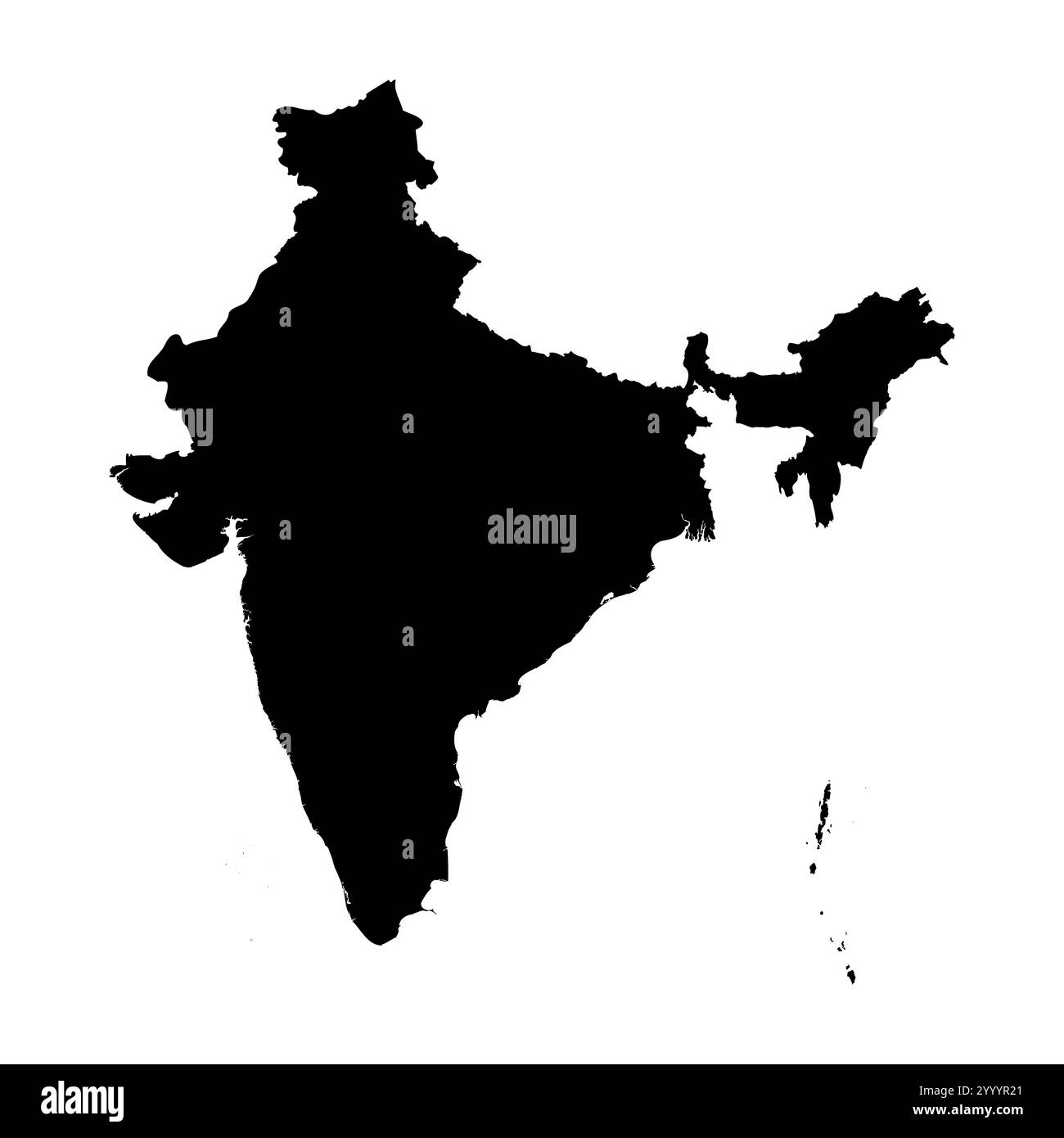 India high detailed vector representation of country silhouette in solid black on white background. For educational, decorative, or informational use showcasing the national outline. Stock Vectorhttps://www.alamy.com/image-license-details/?v=1https://www.alamy.com/india-high-detailed-vector-representation-of-country-silhouette-in-solid-black-on-white-background-for-educational-decorative-or-informational-use-showcasing-the-national-outline-image636779753.html
RF2YYYR21–India high detailed vector representation of country silhouette in solid black on white background. For educational, decorative, or informational use showcasing the national outline.
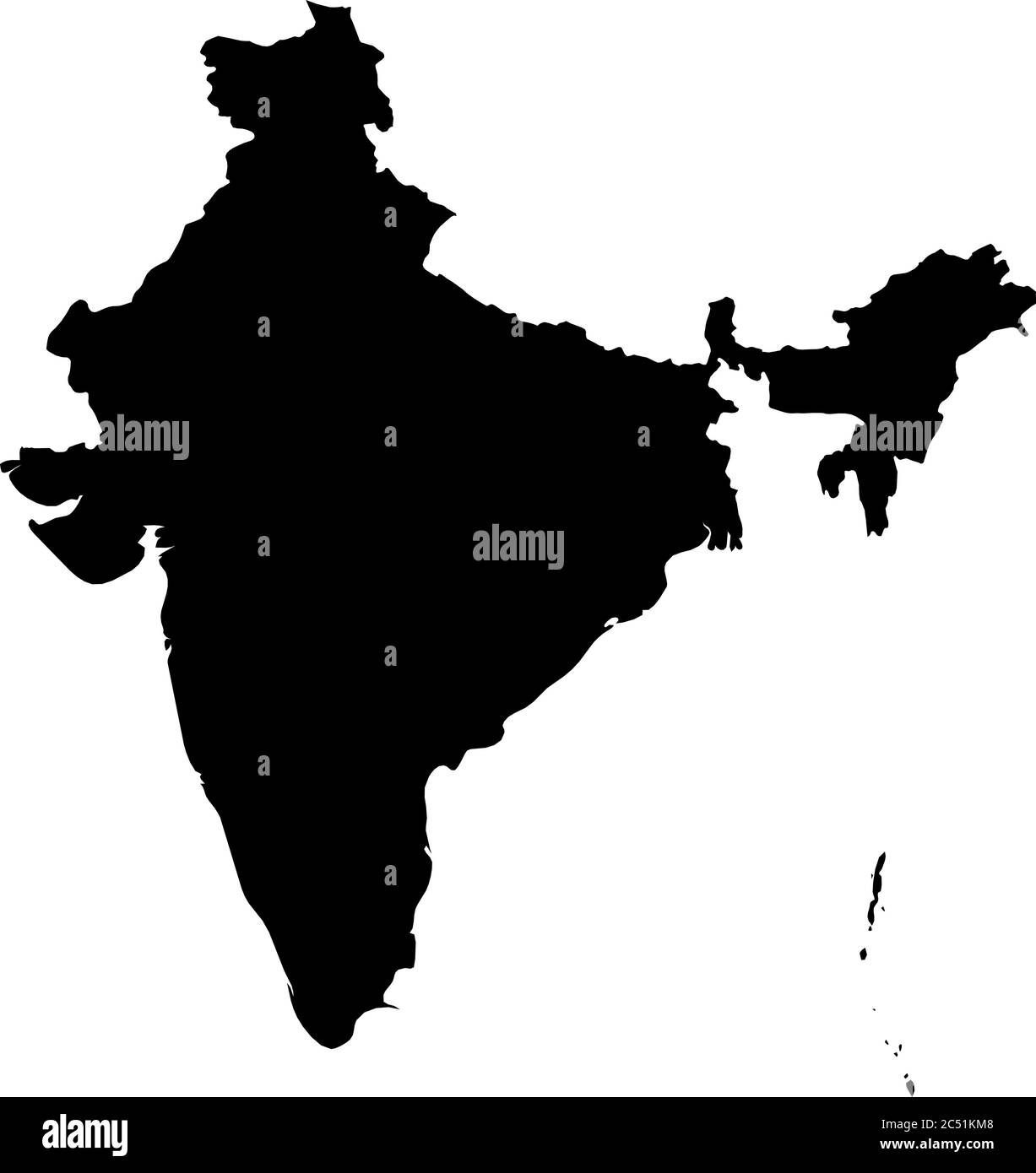 India - solid black silhouette map of country area. Simple flat vector illustration. Stock Vectorhttps://www.alamy.com/image-license-details/?v=1https://www.alamy.com/india-solid-black-silhouette-map-of-country-area-simple-flat-vector-illustration-image364528424.html
RF2C51KM8–India - solid black silhouette map of country area. Simple flat vector illustration.
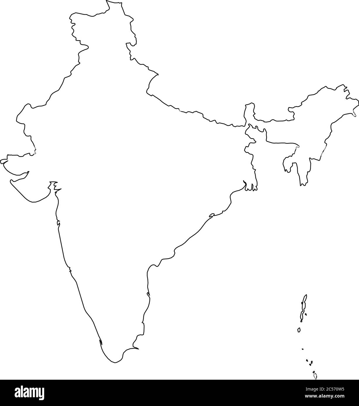 India - solid black outline border map of country area. Simple flat vector illustration. Stock Vectorhttps://www.alamy.com/image-license-details/?v=1https://www.alamy.com/india-solid-black-outline-border-map-of-country-area-simple-flat-vector-illustration-image364645377.html
RF2C570W5–India - solid black outline border map of country area. Simple flat vector illustration.
 India map mosaic of circles in various sizes. Black dotted vector map on white background. Stock Vectorhttps://www.alamy.com/image-license-details/?v=1https://www.alamy.com/india-map-mosaic-of-circles-in-various-sizes-black-dotted-vector-map-on-white-background-image364539157.html
RF2C525BH–India map mosaic of circles in various sizes. Black dotted vector map on white background.
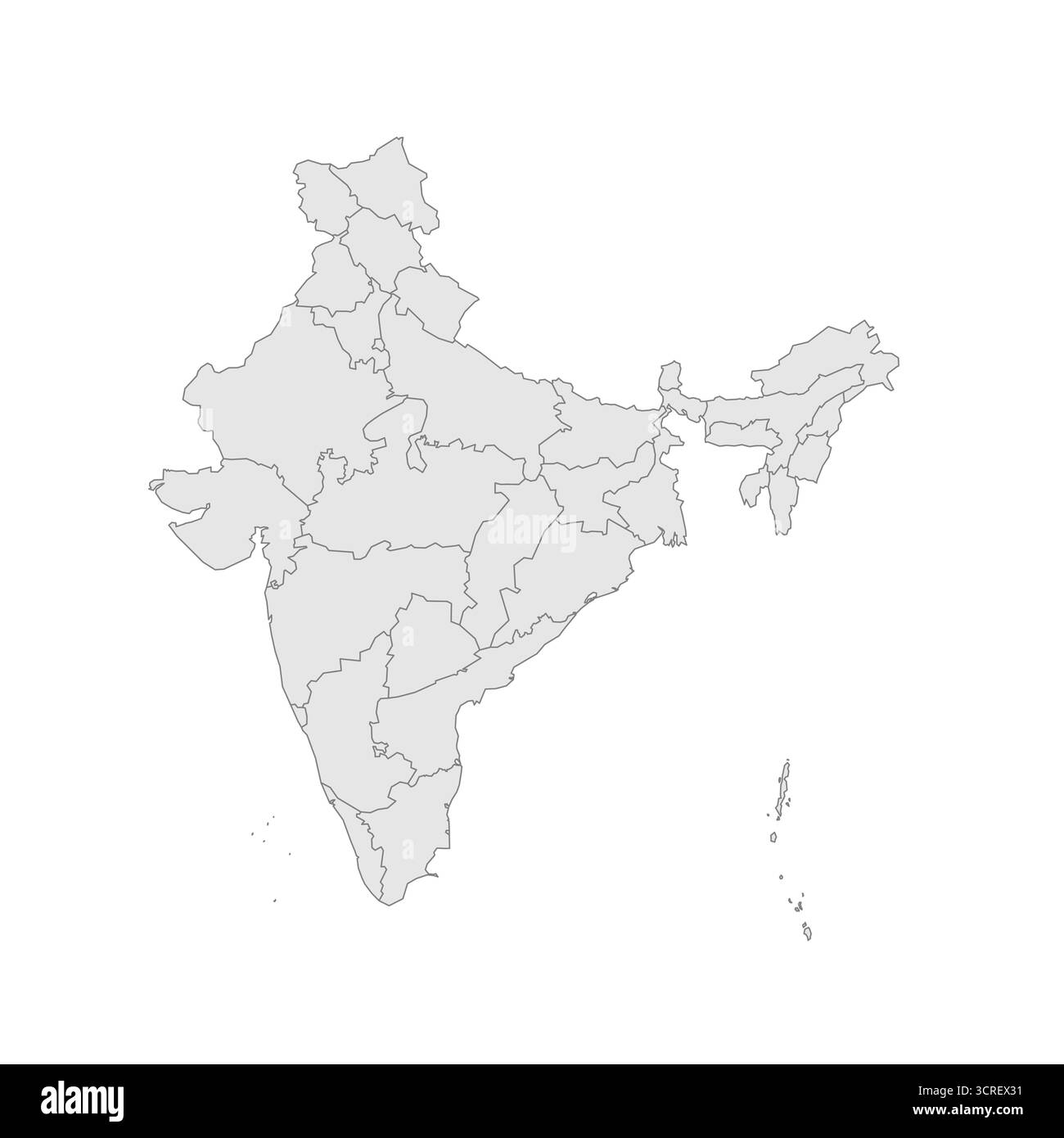 India political map of administrative divisions - states and union teritorries. Grey blank vector editable map EPS. Stock Vectorhttps://www.alamy.com/image-license-details/?v=1https://www.alamy.com/india-political-map-of-administrative-divisions-states-and-union-teritorries-grey-blank-vector-editable-map-eps-image702879605.html
RF3CREX31–India political map of administrative divisions - states and union teritorries. Grey blank vector editable map EPS.
 India - pencil scribble sketch silhouette map of country area with dropped shadow. Simple flat vector illustration. Stock Vectorhttps://www.alamy.com/image-license-details/?v=1https://www.alamy.com/india-pencil-scribble-sketch-silhouette-map-of-country-area-with-dropped-shadow-simple-flat-vector-illustration-image364660565.html
RF2C57M7H–India - pencil scribble sketch silhouette map of country area with dropped shadow. Simple flat vector illustration.
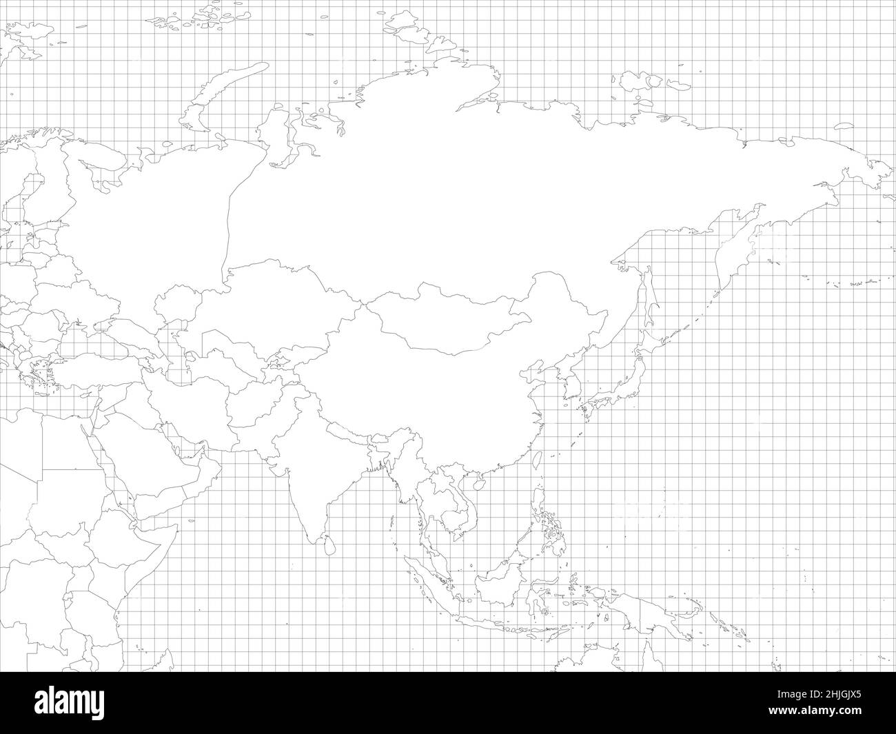 Asia simple outline blank map Stock Vectorhttps://www.alamy.com/image-license-details/?v=1https://www.alamy.com/asia-simple-outline-blank-map-image458899453.html
RF2HJGJX5–Asia simple outline blank map
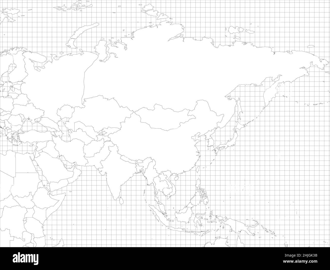 Asia simple outline blank map Stock Vectorhttps://www.alamy.com/image-license-details/?v=1https://www.alamy.com/asia-simple-outline-blank-map-image458899599.html
RF2HJGK3B–Asia simple outline blank map
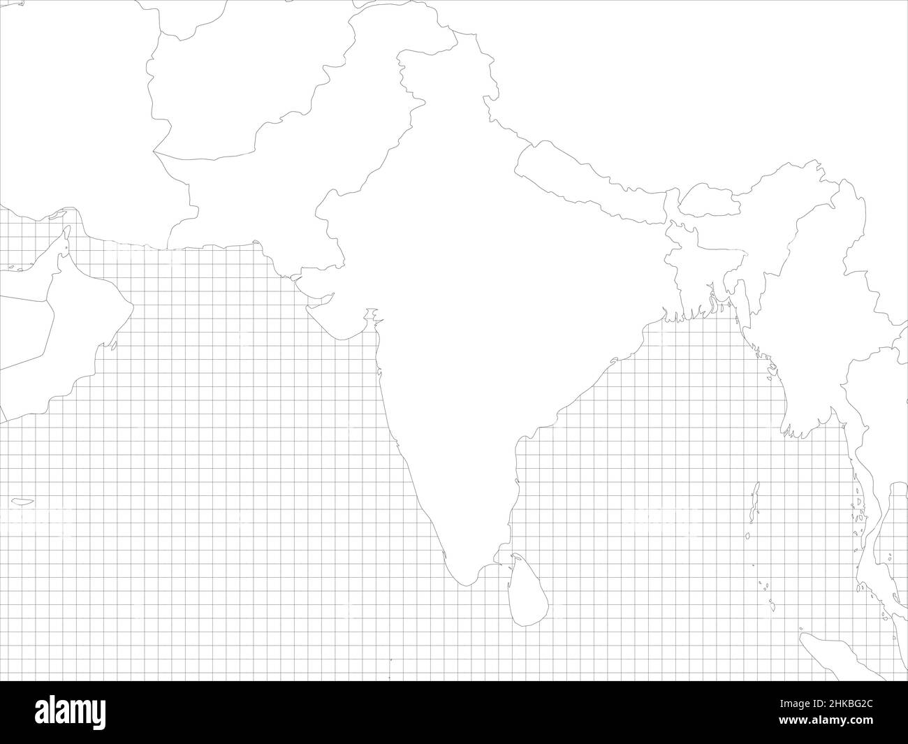 South Asia simple outline blank map Stock Vectorhttps://www.alamy.com/image-license-details/?v=1https://www.alamy.com/south-asia-simple-outline-blank-map-image459402116.html
RF2HKBG2C–South Asia simple outline blank map
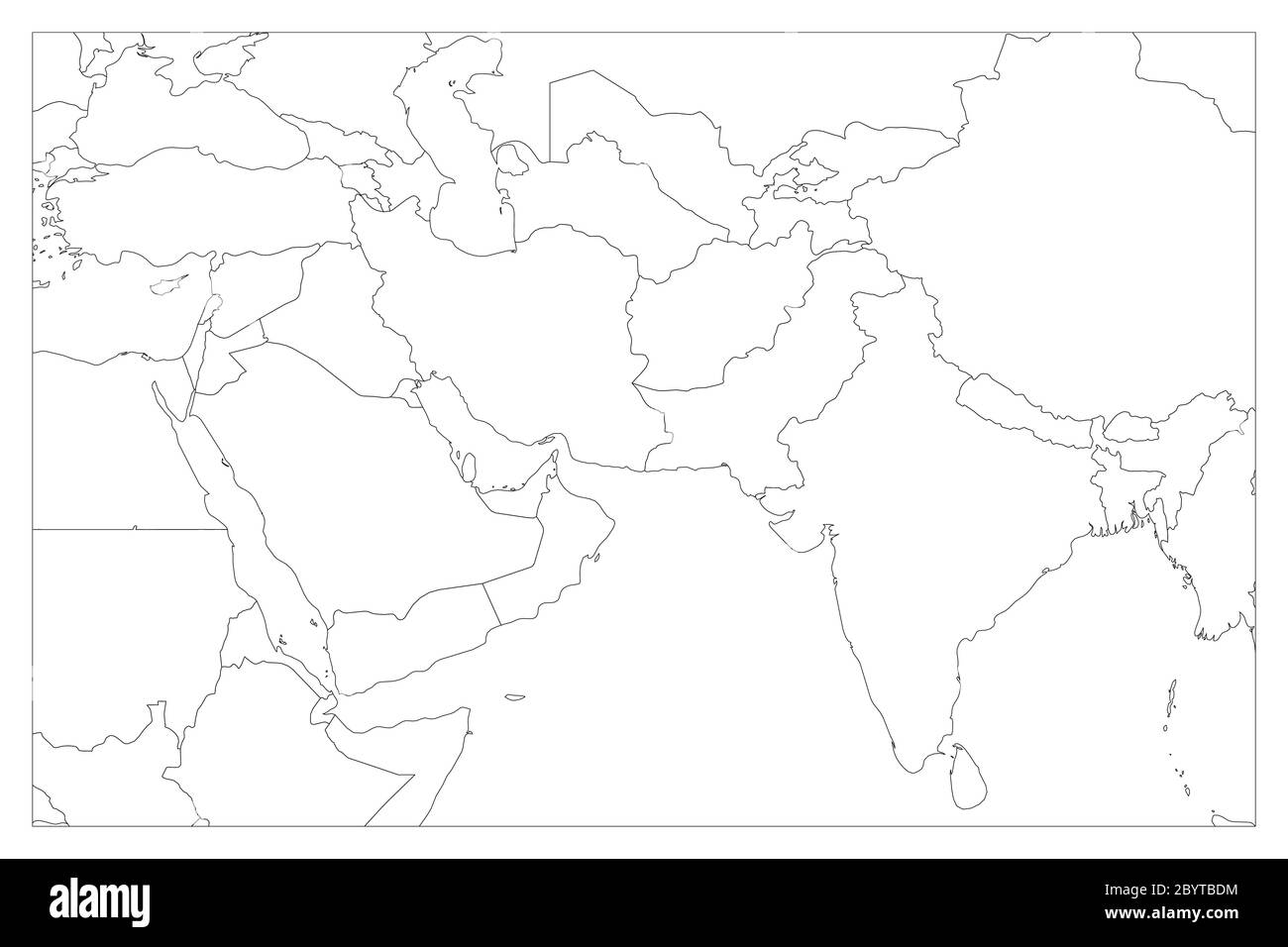 Political map of South Asia and Middle East countries. Simple flat vector outline map. Stock Vectorhttps://www.alamy.com/image-license-details/?v=1https://www.alamy.com/political-map-of-south-asia-and-middle-east-countries-simple-flat-vector-outline-map-image361338928.html
RF2BYTBDM–Political map of South Asia and Middle East countries. Simple flat vector outline map.
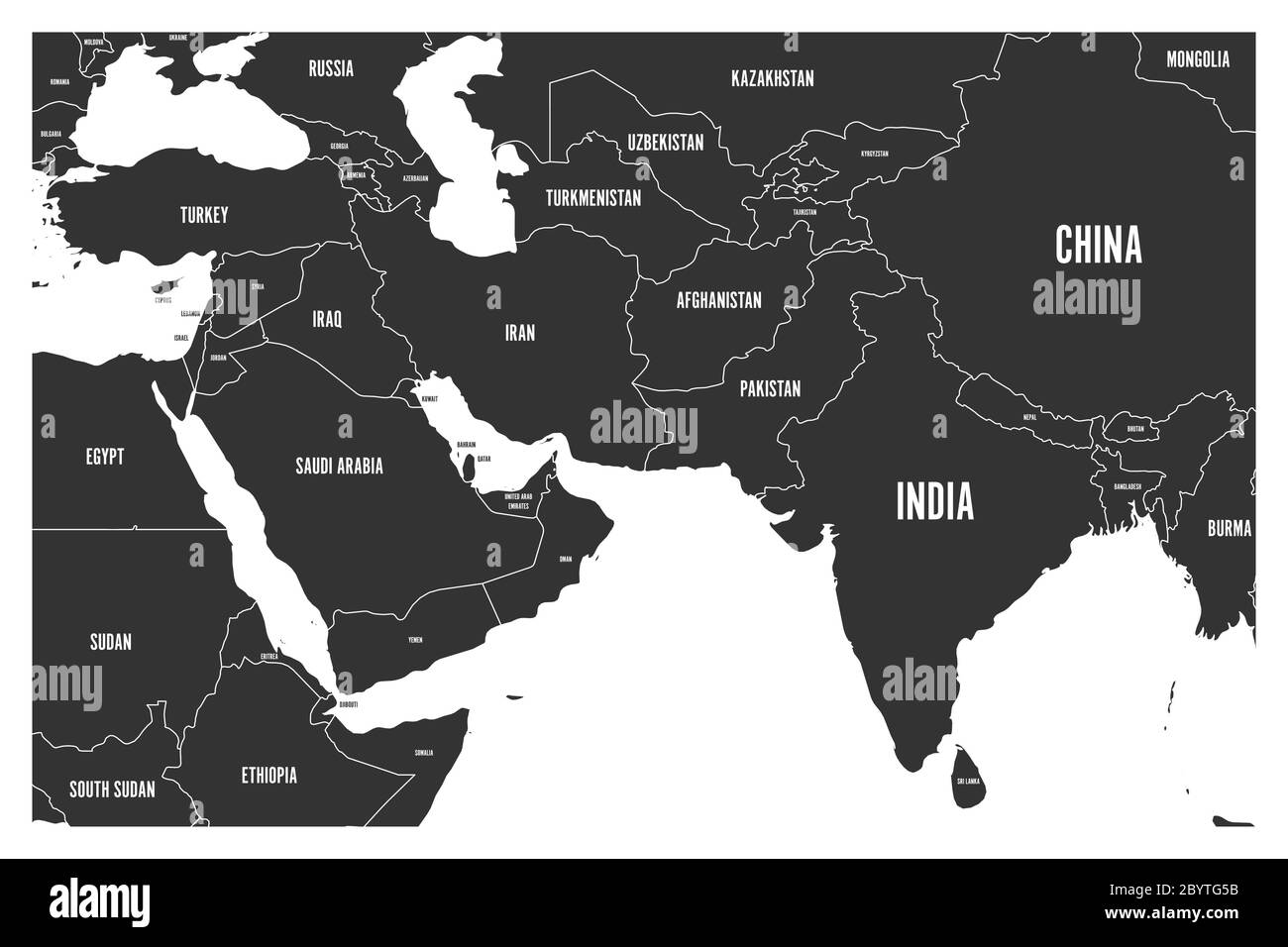 Political map of South Asia and Middle East countries. Simple flat vector map in grey. Stock Vectorhttps://www.alamy.com/image-license-details/?v=1https://www.alamy.com/political-map-of-south-asia-and-middle-east-countries-simple-flat-vector-map-in-grey-image361342615.html
RF2BYTG5B–Political map of South Asia and Middle East countries. Simple flat vector map in grey.
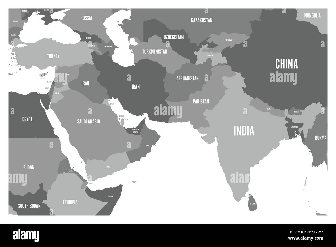 Political map of South Asia and Middle East countries. Simple flat vector map in four shades of grey. Stock Vectorhttps://www.alamy.com/image-license-details/?v=1https://www.alamy.com/political-map-of-south-asia-and-middle-east-countries-simple-flat-vector-map-in-four-shades-of-grey-image361338467.html
RF2BYTAW7–Political map of South Asia and Middle East countries. Simple flat vector map in four shades of grey.
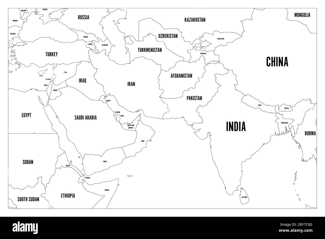 Political map of South Asia and Middle East countries. Simple flat vector outline map with country name labels. Stock Vectorhttps://www.alamy.com/image-license-details/?v=1https://www.alamy.com/political-map-of-south-asia-and-middle-east-countries-simple-flat-vector-outline-map-with-country-name-labels-image361339638.html
RF2BYTCB2–Political map of South Asia and Middle East countries. Simple flat vector outline map with country name labels.
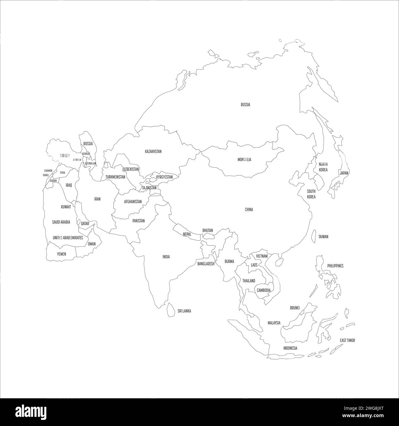 Political map of Asia. Thin black outline map with country name labels on white background. Ortographic projection. Vector illustration Stock Vectorhttps://www.alamy.com/image-license-details/?v=1https://www.alamy.com/political-map-of-asia-thin-black-outline-map-with-country-name-labels-on-white-background-ortographic-projection-vector-illustration-image595177488.html
RF2WG8JXT–Political map of Asia. Thin black outline map with country name labels on white background. Ortographic projection. Vector illustration
 India high detailed vector representation of country silhouette. White color on transparent background with dropped shadow. For educational, decorative, or informational use. Stock Vectorhttps://www.alamy.com/image-license-details/?v=1https://www.alamy.com/india-high-detailed-vector-representation-of-country-silhouette-white-color-on-transparent-background-with-dropped-shadow-for-educational-decorative-or-informational-use-image639134487.html
RF2S3R2FK–India high detailed vector representation of country silhouette. White color on transparent background with dropped shadow. For educational, decorative, or informational use.
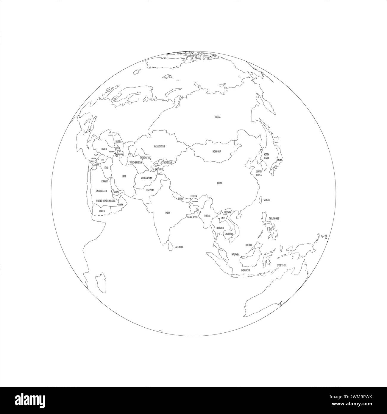 Political map of Asia. Thin black outline map with country name labels on white background. Ortographic projection. Vector illustration Stock Vectorhttps://www.alamy.com/image-license-details/?v=1https://www.alamy.com/political-map-of-asia-thin-black-outline-map-with-country-name-labels-on-white-background-ortographic-projection-vector-illustration-image597968495.html
RF2WMRPWK–Political map of Asia. Thin black outline map with country name labels on white background. Ortographic projection. Vector illustration
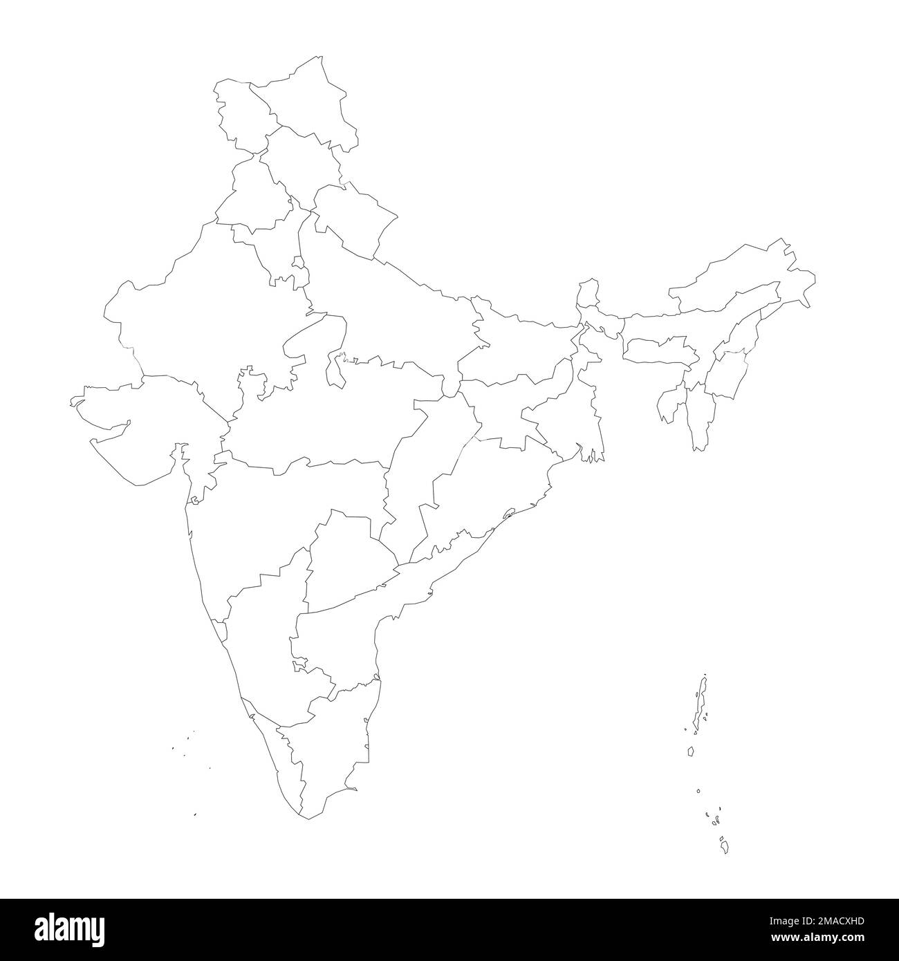 India political map of administrative divisions - states and union teritorries. Blank outline map. Solid thin black line borders. Stock Vectorhttps://www.alamy.com/image-license-details/?v=1https://www.alamy.com/india-political-map-of-administrative-divisions-states-and-union-teritorries-blank-outline-map-solid-thin-black-line-borders-image505531529.html
RF2MACXHD–India political map of administrative divisions - states and union teritorries. Blank outline map. Solid thin black line borders.