India state map Cut Out Stock Images
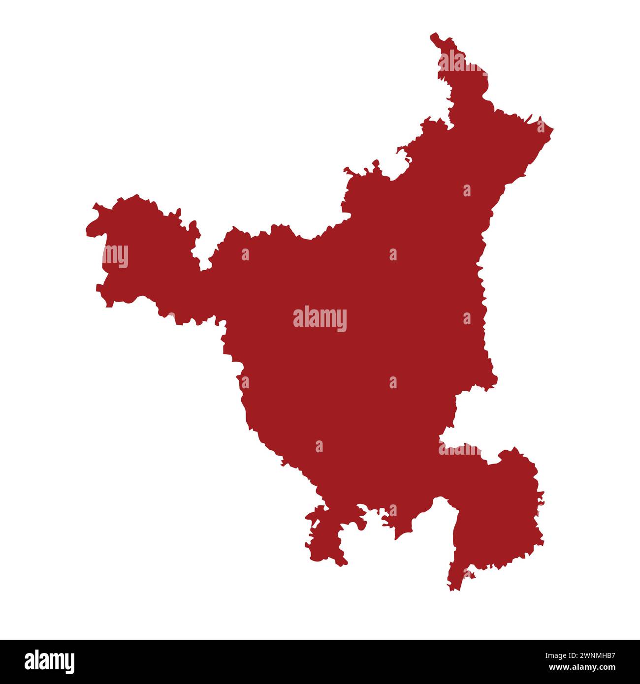 Indian state haryana map vector illustration Stock Vectorhttps://www.alamy.com/image-license-details/?v=1https://www.alamy.com/indian-state-haryana-map-vector-illustration-image598512971.html
RF2WNMHB7–Indian state haryana map vector illustration
RF2TB9WWY–Tamilnadu Map with Location icon vector illustration
RF2XGTT4R–Odisha State Map Vector Icon. India Odisha Province State icon. Odisha Map
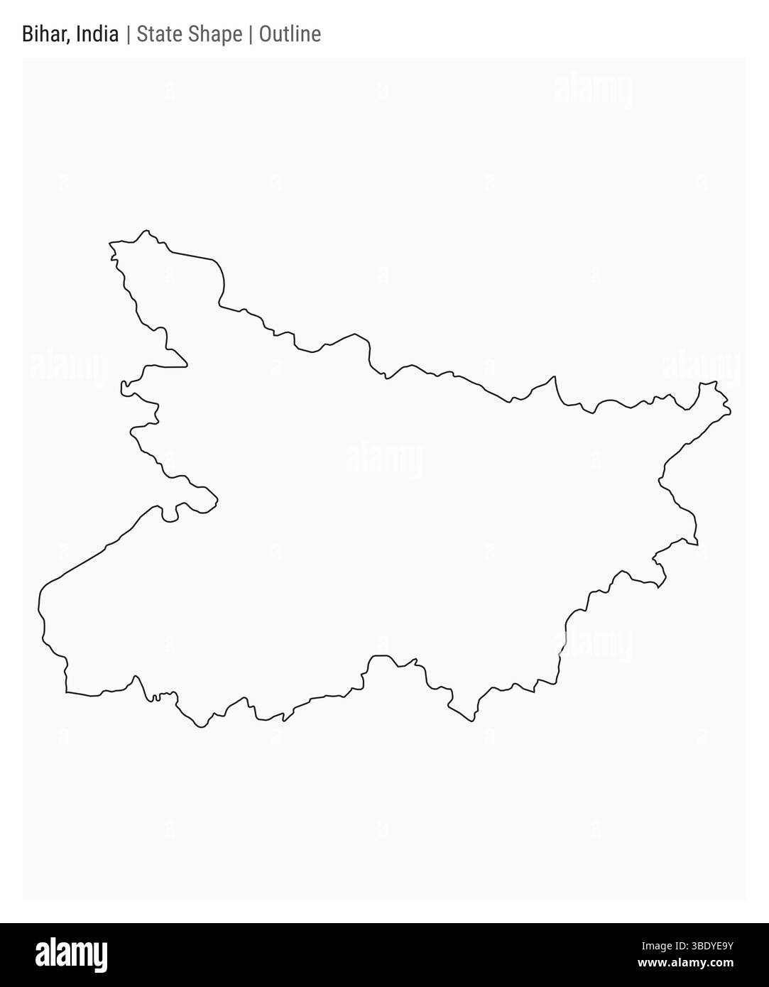 Bihar, India. Simple vector map. State shape. Outline style. Border of Bihar. Vector illustration. Stock Vectorhttps://www.alamy.com/image-license-details/?v=1https://www.alamy.com/bihar-india-simple-vector-map-state-shape-outline-style-border-of-bihar-vector-illustration-image679798839.html
RF3BDYE9Y–Bihar, India. Simple vector map. State shape. Outline style. Border of Bihar. Vector illustration.
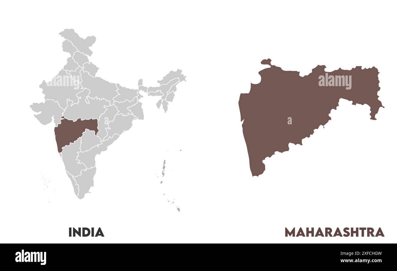 Maharashtra Map1, State of India, Republic of India, government, Political map, modern map, Indian flag, vector illustration Stock Vectorhttps://www.alamy.com/image-license-details/?v=1https://www.alamy.com/maharashtra-map1-state-of-india-republic-of-india-government-political-map-modern-map-indian-flag-vector-illustration-image611859945.html
RF2XFCHGW–Maharashtra Map1, State of India, Republic of India, government, Political map, modern map, Indian flag, vector illustration
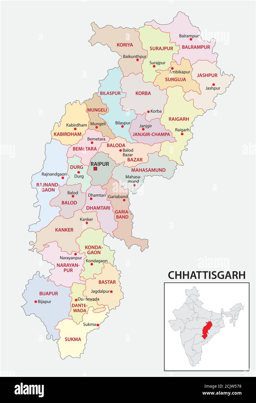 administrative and political map of indian state of Chhattisgarh, india Stock Vectorhttps://www.alamy.com/image-license-details/?v=1https://www.alamy.com/administrative-and-political-map-of-indian-state-of-chhattisgarh-india-image373034460.html
RF2CJW578–administrative and political map of indian state of Chhattisgarh, india
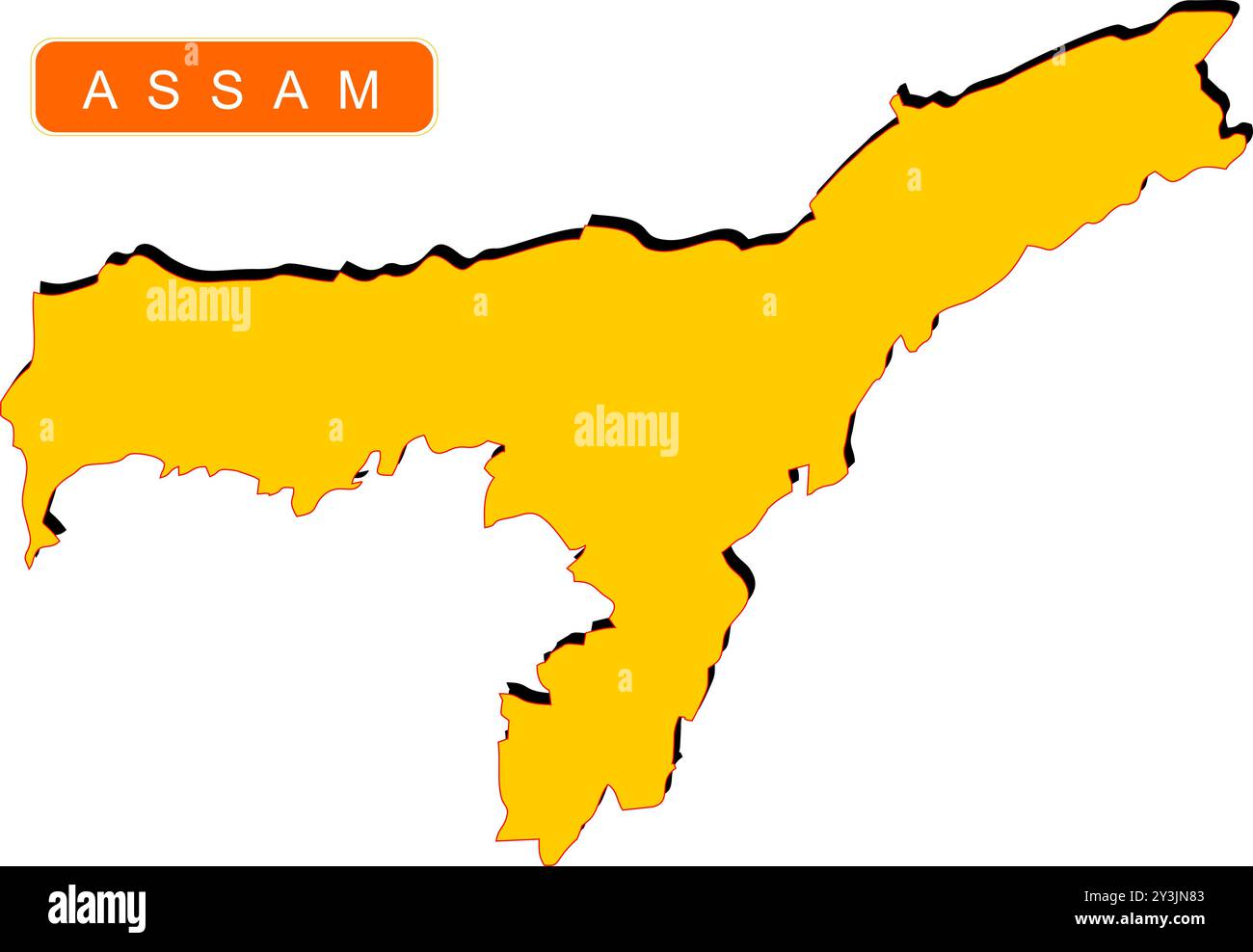 State Map of India with name on it Stock Vectorhttps://www.alamy.com/image-license-details/?v=1https://www.alamy.com/state-map-of-india-with-name-on-it-image621829043.html
RF2Y3JN83–State Map of India with name on it
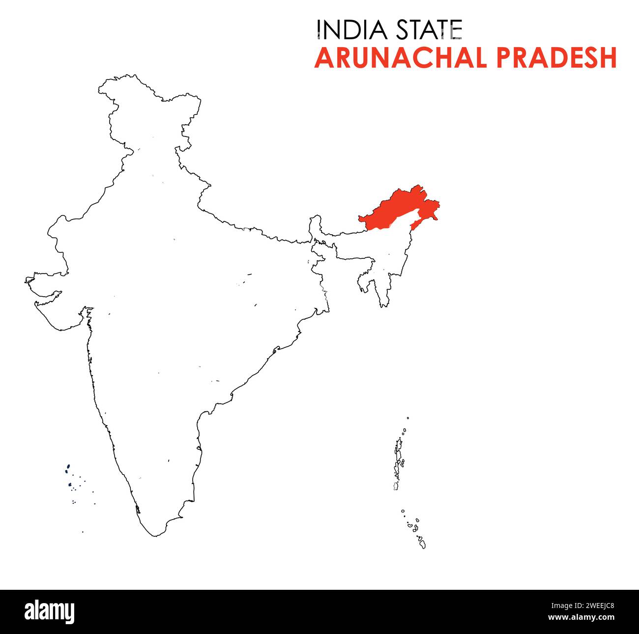 Arunachal Pradesh map of Indian state. Arunachal Pradesh map illustration Stock Vectorhttps://www.alamy.com/image-license-details/?v=1https://www.alamy.com/arunachal-pradesh-map-of-indian-state-arunachal-pradesh-map-illustration-image594079480.html
RF2WEEJC8–Arunachal Pradesh map of Indian state. Arunachal Pradesh map illustration
 India Map, states border map. Vector illustration. Stock Vectorhttps://www.alamy.com/image-license-details/?v=1https://www.alamy.com/india-map-states-border-map-vector-illustration-image334166442.html
RF2ABJGKP–India Map, states border map. Vector illustration.
RF3BM9X84–India map vector icon set. Silhouette, states, regions, outline, flag, flat, dotted styles. Vector illustration
 Symbol Map of the Gujarat (India). Abstract map showing the state/province with a pattern of overlapping colorful squares like candies Stock Vectorhttps://www.alamy.com/image-license-details/?v=1https://www.alamy.com/symbol-map-of-the-gujarat-india-abstract-map-showing-the-stateprovince-with-a-pattern-of-overlapping-colorful-squares-like-candies-image611834389.html
RF2XFBD05–Symbol Map of the Gujarat (India). Abstract map showing the state/province with a pattern of overlapping colorful squares like candies
 Merry Christmas Map India Stock Vectorhttps://www.alamy.com/image-license-details/?v=1https://www.alamy.com/stock-photo-merry-christmas-map-india-125730363.html
RFH8FEA3–Merry Christmas Map India
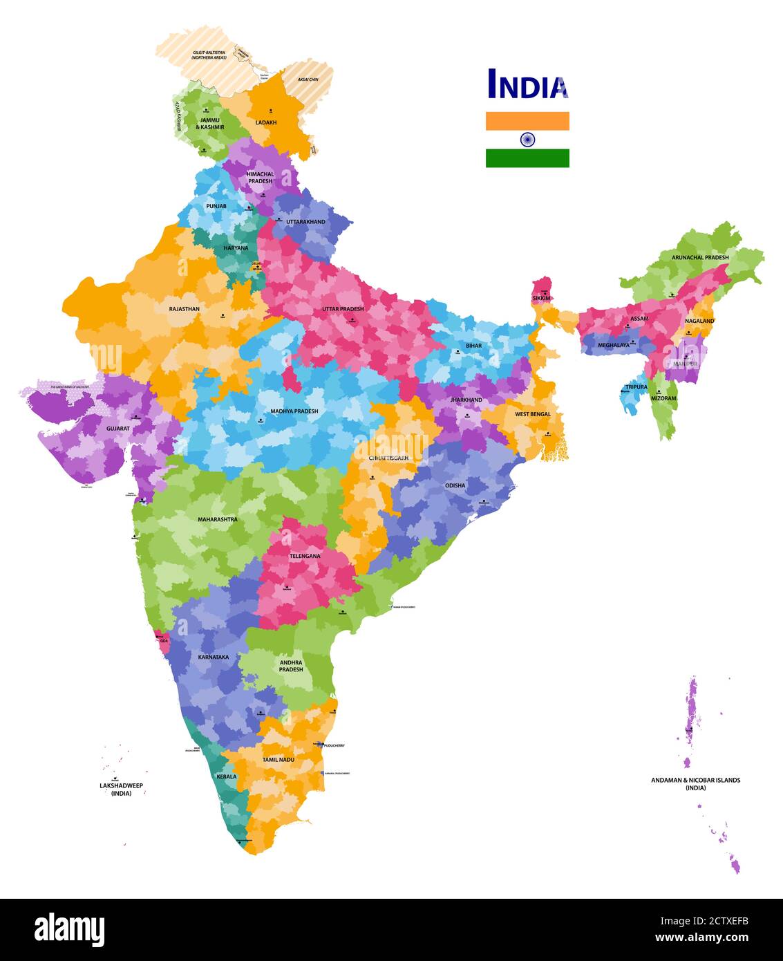 India high detailed vector map showing states and districts boundaries with states' names and capitals. Flag of India Stock Vectorhttps://www.alamy.com/image-license-details/?v=1https://www.alamy.com/india-high-detailed-vector-map-showing-states-and-districts-boundaries-with-states-names-and-capitals-flag-of-india-image376751631.html
RF2CTXEFB–India high detailed vector map showing states and districts boundaries with states' names and capitals. Flag of India
 States of India. Handwritten stock lettering set multicolored bright Stock Vectorhttps://www.alamy.com/image-license-details/?v=1https://www.alamy.com/states-of-india-handwritten-stock-lettering-set-multicolored-bright-image383367902.html
RF2D7KWJP–States of India. Handwritten stock lettering set multicolored bright
 Map of India. Editable vectors. Stock Vectorhttps://www.alamy.com/image-license-details/?v=1https://www.alamy.com/map-of-india-editable-vectors-image464986826.html
RF2J0DYCA–Map of India. Editable vectors.
RF2RRPPD8–india map icon vector illustration design
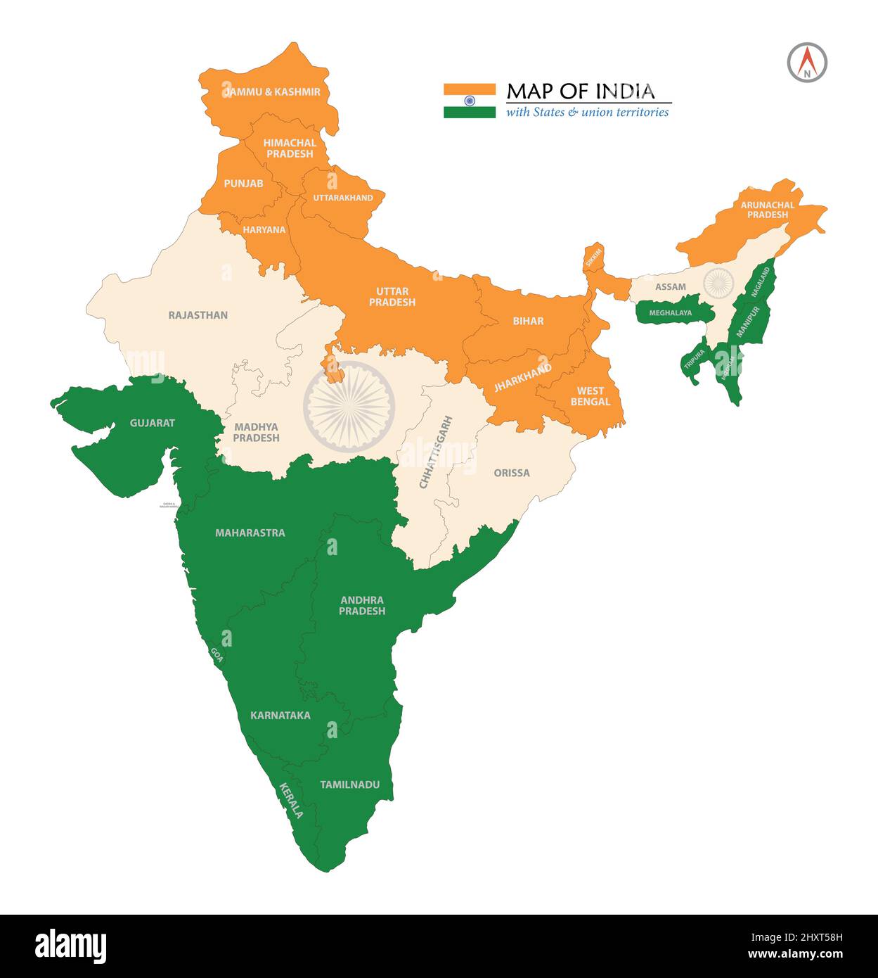 Map of India with States in Flag Design Stock Vectorhttps://www.alamy.com/image-license-details/?v=1https://www.alamy.com/map-of-india-with-states-in-flag-design-image463981633.html
RF2HXT58H–Map of India with States in Flag Design
 A vector illustration of An India map coverd with Indian Flag. Stock Vectorhttps://www.alamy.com/image-license-details/?v=1https://www.alamy.com/a-vector-illustration-of-an-india-map-coverd-with-indian-flag-image64475715.html
RFDMW3C3–A vector illustration of An India map coverd with Indian Flag.
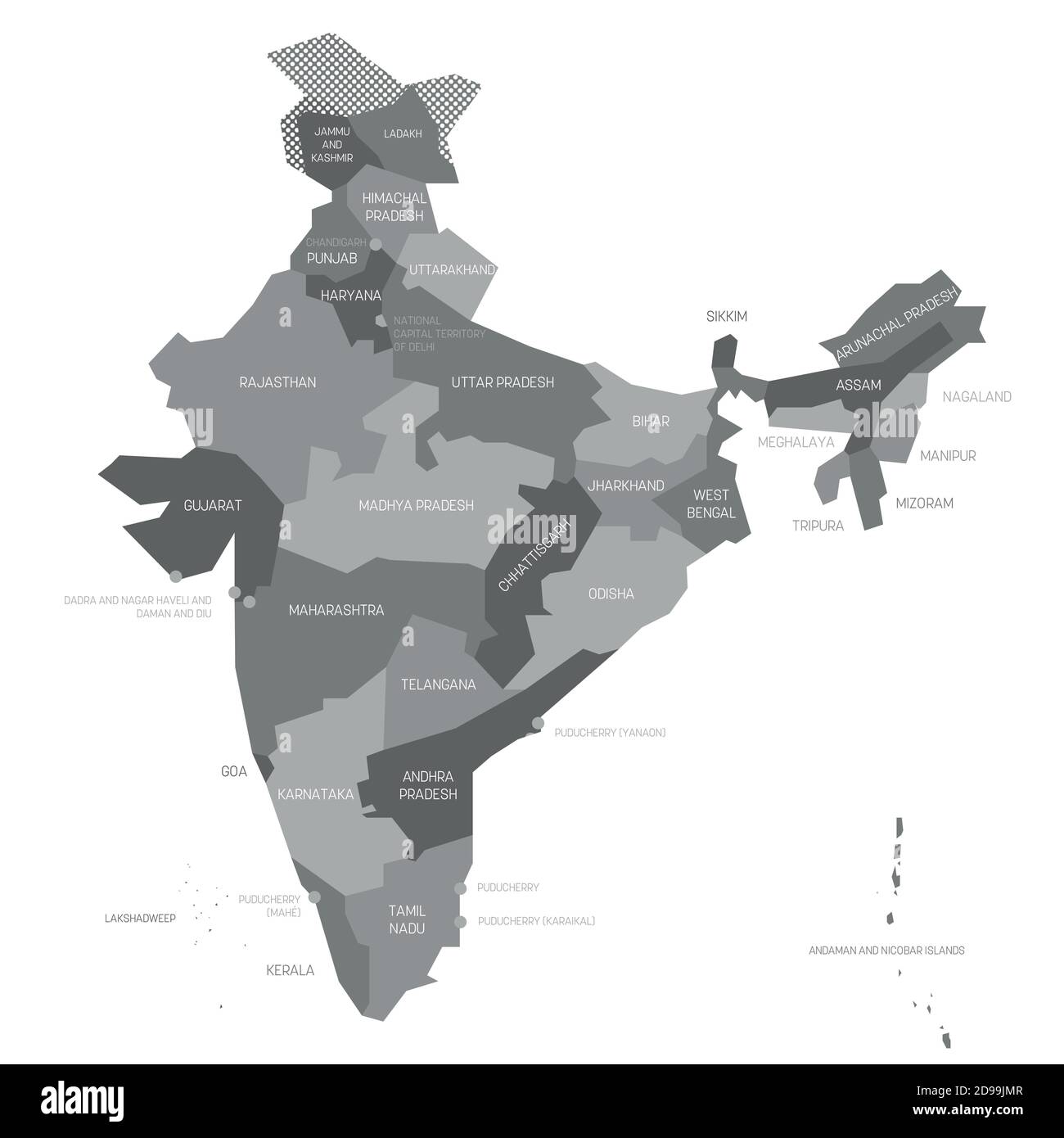 Gray political map of India. Administrative divisions - states and union territories. Simple flat vector map with labels. Stock Vectorhttps://www.alamy.com/image-license-details/?v=1https://www.alamy.com/gray-political-map-of-india-administrative-divisions-states-and-union-territories-simple-flat-vector-map-with-labels-image384372263.html
RF2D99JMR–Gray political map of India. Administrative divisions - states and union territories. Simple flat vector map with labels.
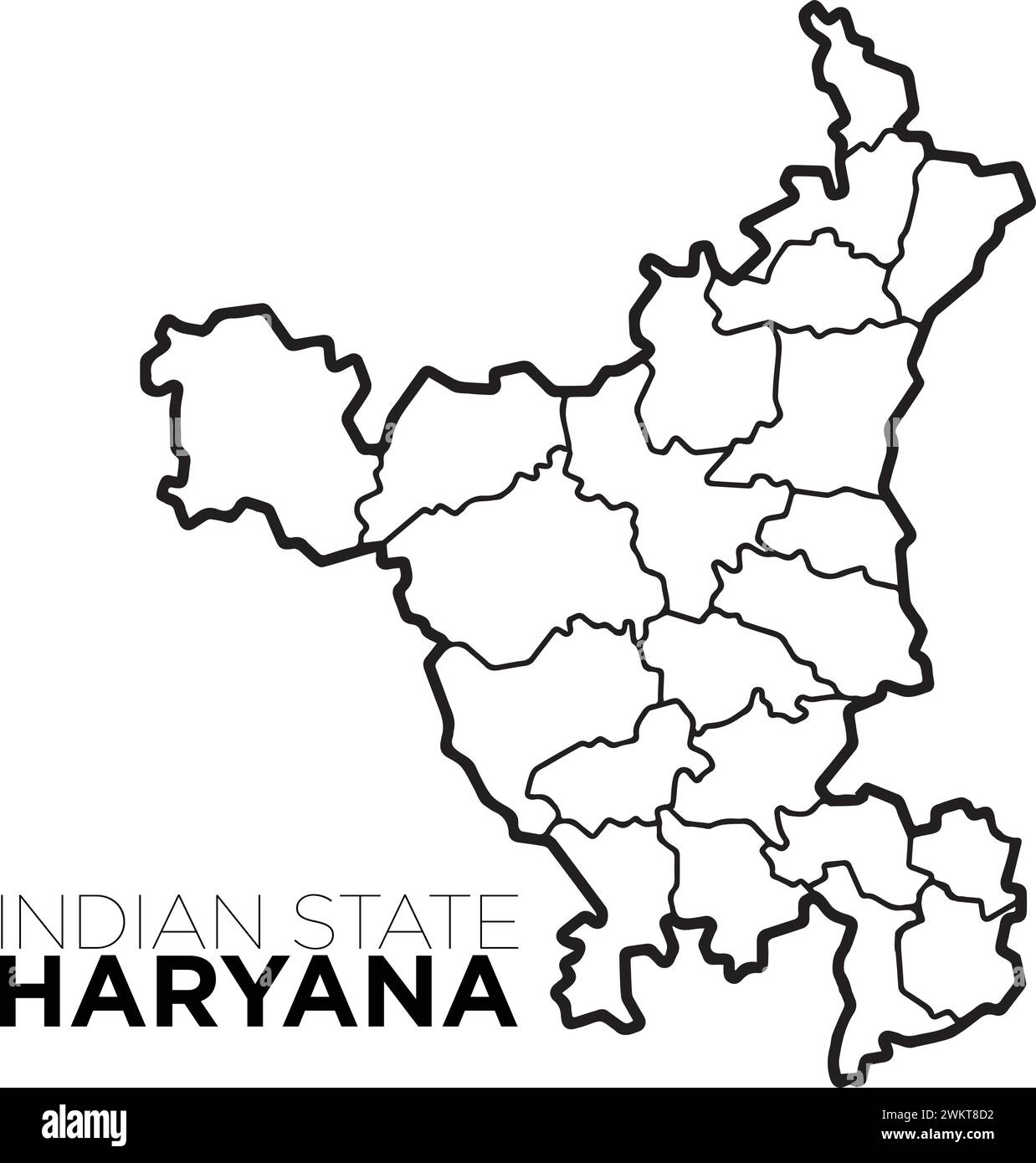 Indian map haryana map with district illustration vecor, distrtict map Stock Vectorhttps://www.alamy.com/image-license-details/?v=1https://www.alamy.com/indian-map-haryana-map-with-district-illustration-vecor-distrtict-map-image597364462.html
RF2WKT8D2–Indian map haryana map with district illustration vecor, distrtict map
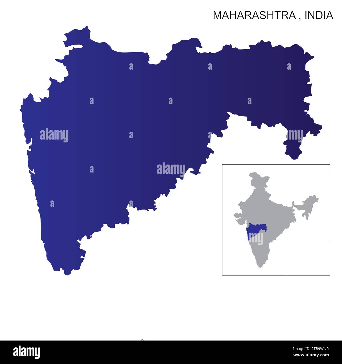 map of the Maharashtra state in India Map Stock Vectorhttps://www.alamy.com/image-license-details/?v=1https://www.alamy.com/map-of-the-maharashtra-state-in-india-map-image574921139.html
RF2TB9WNR–map of the Maharashtra state in India Map
RF2XGTRBF–Haryana State Map Vector Icon. India Haryana Province State icon. Haryana Map
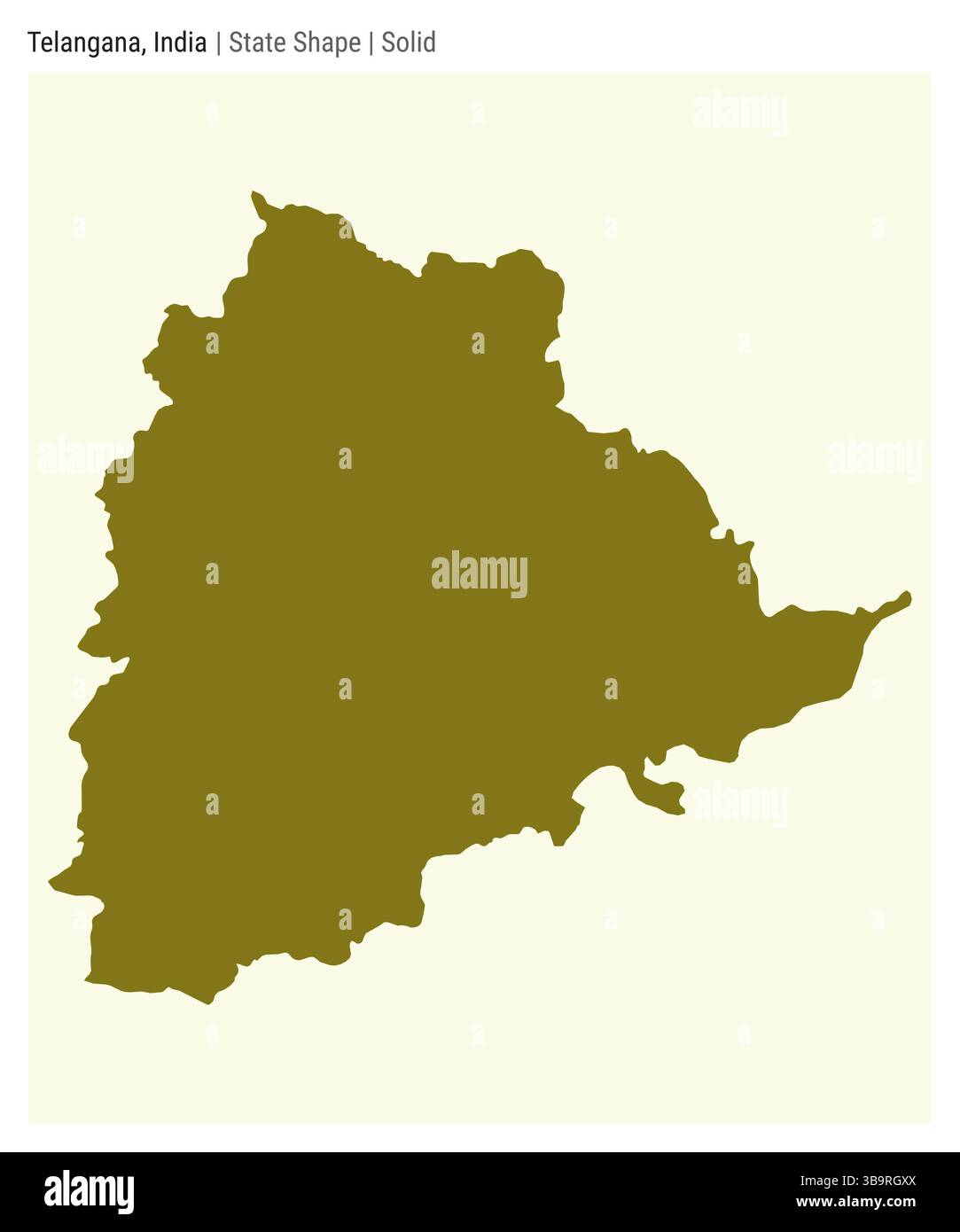 Telangana, India. Simple vector map. State shape. Solid style. Border of Telangana. Vector illustration. Stock Vectorhttps://www.alamy.com/image-license-details/?v=1https://www.alamy.com/telangana-india-simple-vector-map-state-shape-solid-style-border-of-telangana-vector-illustration-image677254450.html
RF3B9RGXX–Telangana, India. Simple vector map. State shape. Solid style. Border of Telangana. Vector illustration.
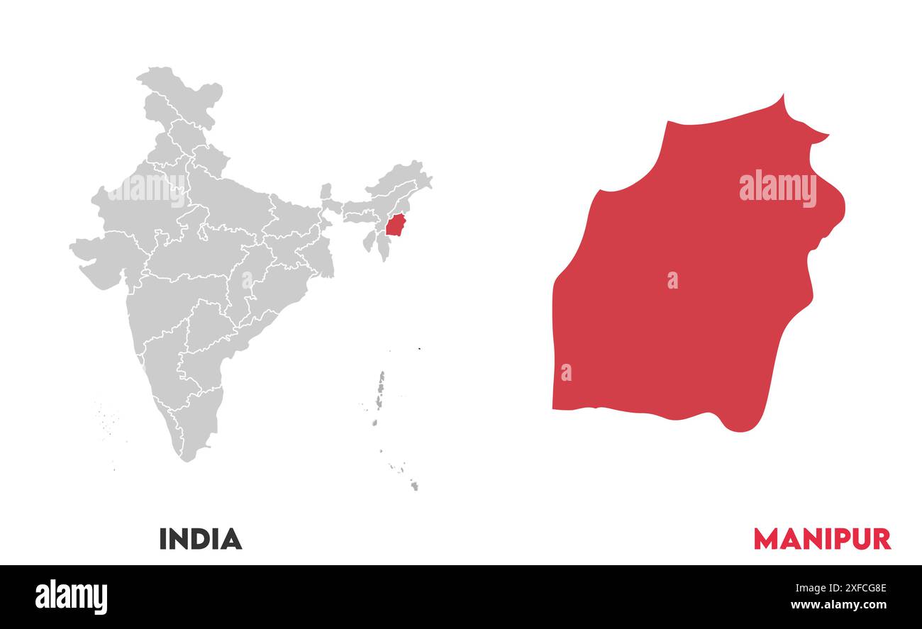 Manipur Map1, State of India, Republic of India, government, Political map, modern map, Indian flag, vector illustration Stock Vectorhttps://www.alamy.com/image-license-details/?v=1https://www.alamy.com/manipur-map1-state-of-india-republic-of-india-government-political-map-modern-map-indian-flag-vector-illustration-image611858926.html
RF2XFCG8E–Manipur Map1, State of India, Republic of India, government, Political map, modern map, Indian flag, vector illustration
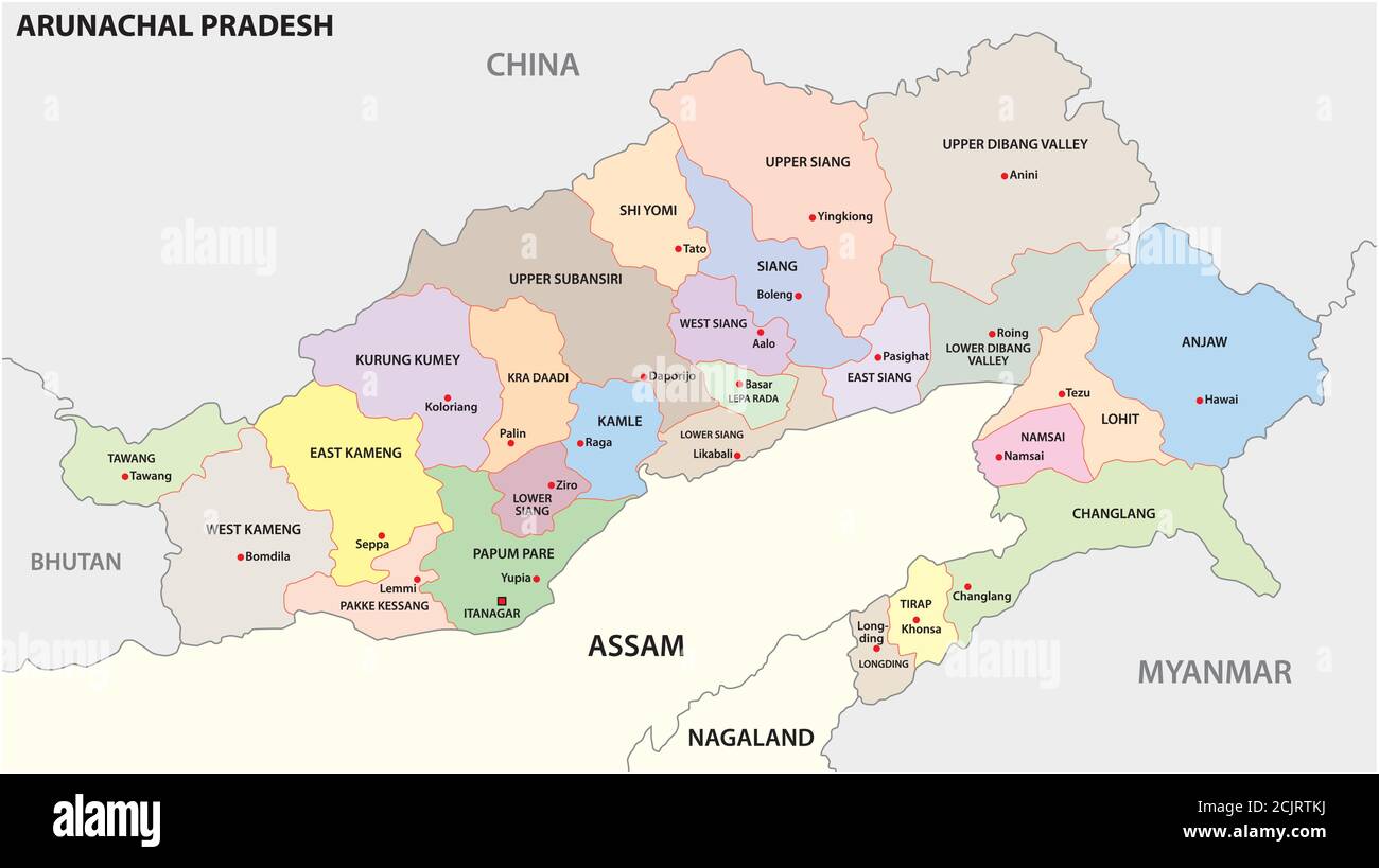 administrative and political map of indian state of Arunachal Pradesh 2020, india Stock Vectorhttps://www.alamy.com/image-license-details/?v=1https://www.alamy.com/administrative-and-political-map-of-indian-state-of-arunachal-pradesh-2020-india-image373005798.html
RF2CJRTKJ–administrative and political map of indian state of Arunachal Pradesh 2020, india
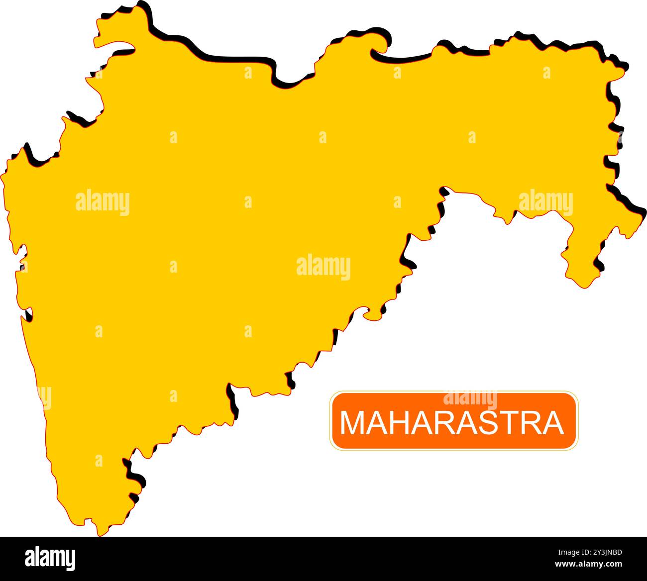 Maharastra State Map of India with name on it Stock Vectorhttps://www.alamy.com/image-license-details/?v=1https://www.alamy.com/maharastra-state-map-of-india-with-name-on-it-image621829137.html
RF2Y3JNBD–Maharastra State Map of India with name on it
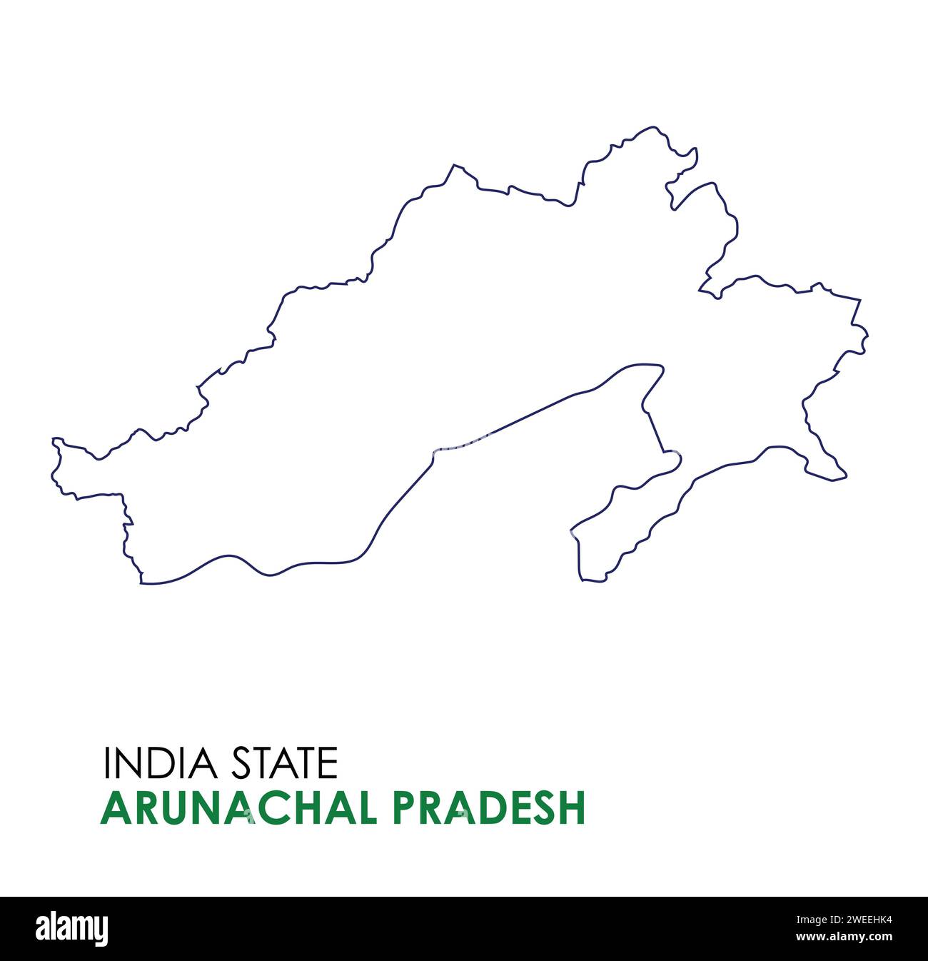 Arunachal Pradesh map of Indian state. Arunachal Pradesh map illustration Stock Vectorhttps://www.alamy.com/image-license-details/?v=1https://www.alamy.com/arunachal-pradesh-map-of-indian-state-arunachal-pradesh-map-illustration-image594078888.html
RF2WEEHK4–Arunachal Pradesh map of Indian state. Arunachal Pradesh map illustration
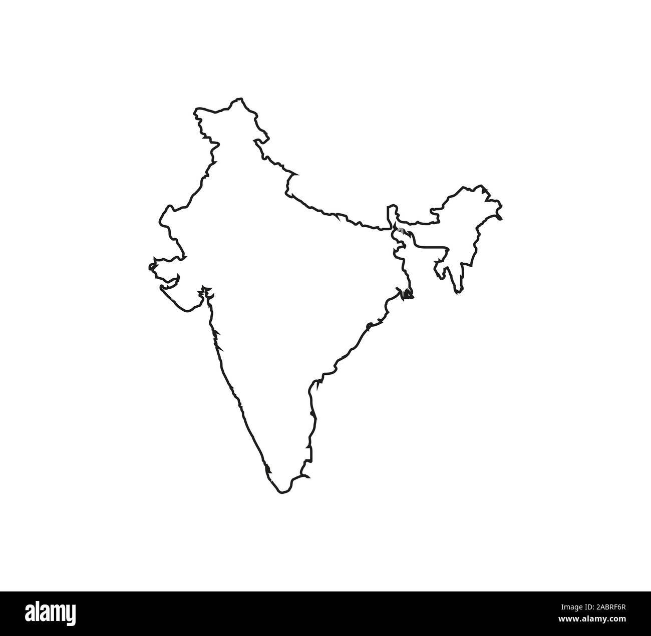 India Map, on white background. Vector illustration. Outline. Stock Vectorhttps://www.alamy.com/image-license-details/?v=1https://www.alamy.com/india-map-on-white-background-vector-illustration-outline-image334275055.html
RF2ABRF6R–India Map, on white background. Vector illustration. Outline.
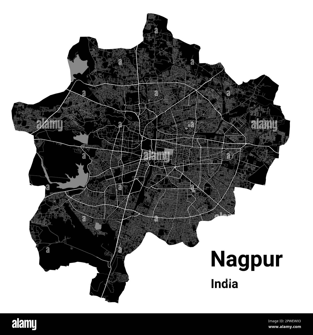 Nagpur map. Detailed vector map of Nagpur city administrative area. Cityscape poster metropolitan aria view. Black land with white roads and avenues. Stock Vectorhttps://www.alamy.com/image-license-details/?v=1https://www.alamy.com/nagpur-map-detailed-vector-map-of-nagpur-city-administrative-area-cityscape-poster-metropolitan-aria-view-black-land-with-white-roads-and-avenues-image549215467.html
RF2PWEWX3–Nagpur map. Detailed vector map of Nagpur city administrative area. Cityscape poster metropolitan aria view. Black land with white roads and avenues.
 Symbol Map of the State Telangana (India). Abstract map showing the state/province with a pattern of overlapping colorful squares like candies Stock Vectorhttps://www.alamy.com/image-license-details/?v=1https://www.alamy.com/symbol-map-of-the-state-telangana-india-abstract-map-showing-the-stateprovince-with-a-pattern-of-overlapping-colorful-squares-like-candies-image611836772.html
RF2XFBG18–Symbol Map of the State Telangana (India). Abstract map showing the state/province with a pattern of overlapping colorful squares like candies
 India Map black edition Stock Vectorhttps://www.alamy.com/image-license-details/?v=1https://www.alamy.com/stock-photo-india-map-black-edition-125745504.html
RFH8G5JT–India Map black edition
 A contour map of India. Vector graphic illustration on a transparent background with black country's borders Stock Vectorhttps://www.alamy.com/image-license-details/?v=1https://www.alamy.com/a-contour-map-of-india-vector-graphic-illustration-on-a-transparent-background-with-black-countrys-borders-image631454154.html
RF2YK9662–A contour map of India. Vector graphic illustration on a transparent background with black country's borders
 India map vector illustration, scribble sketch Republic India map, Indian map silhouette, Indian country Stock Vectorhttps://www.alamy.com/image-license-details/?v=1https://www.alamy.com/india-map-vector-illustration-scribble-sketch-republic-india-map-indian-map-silhouette-indian-country-image636844269.html
RF2S02NA5–India map vector illustration, scribble sketch Republic India map, Indian map silhouette, Indian country
 Map of India. Countries in Southeast Asia. Editable vector. Stock Vectorhttps://www.alamy.com/image-license-details/?v=1https://www.alamy.com/map-of-india-countries-in-southeast-asia-editable-vector-image464986831.html
RF2J0DYCF–Map of India. Countries in Southeast Asia. Editable vector.
RF2RRPPDE–india map icon vector illustration design
 India Flag in India Map, India Map with Flag, Country Map, India with Flag, Nation Flag Stock Vectorhttps://www.alamy.com/image-license-details/?v=1https://www.alamy.com/india-flag-in-india-map-india-map-with-flag-country-map-india-with-flag-nation-flag-image598758613.html
RF2WP3PM5–India Flag in India Map, India Map with Flag, Country Map, India with Flag, Nation Flag
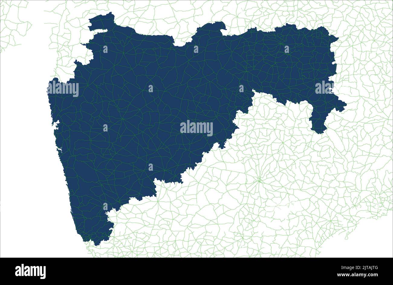 Maharastra India Road Coverage Area Vector map illustration on white background , Road area of Maharastra india Stock Vectorhttps://www.alamy.com/image-license-details/?v=1https://www.alamy.com/maharastra-india-road-coverage-area-vector-map-illustration-on-white-background-road-area-of-maharastra-india-image479666000.html
RF2JTAJTG–Maharastra India Road Coverage Area Vector map illustration on white background , Road area of Maharastra india
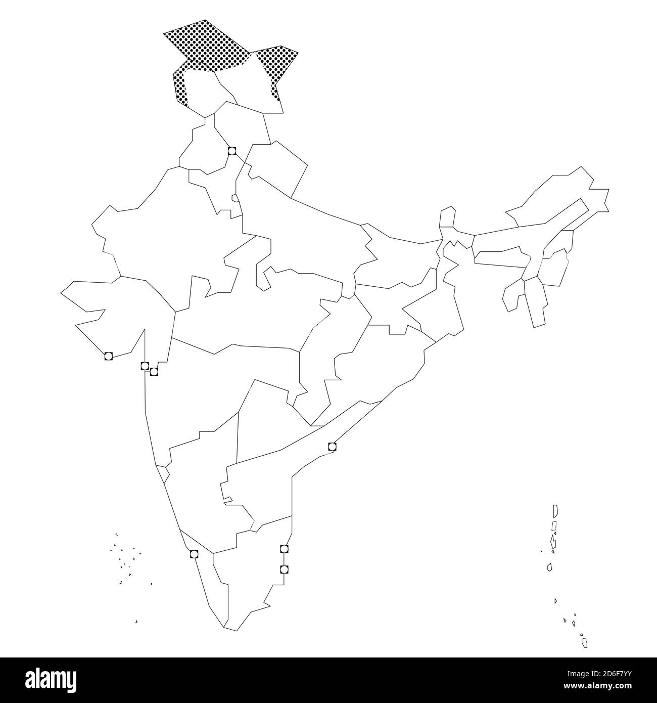 Blank political map of India. Administrative divisions - states and union territories. Simple black outline vector map. Stock Vectorhttps://www.alamy.com/image-license-details/?v=1https://www.alamy.com/blank-political-map-of-india-administrative-divisions-states-and-union-territories-simple-black-outline-vector-map-image382651583.html
RF2D6F7YY–Blank political map of India. Administrative divisions - states and union territories. Simple black outline vector map.
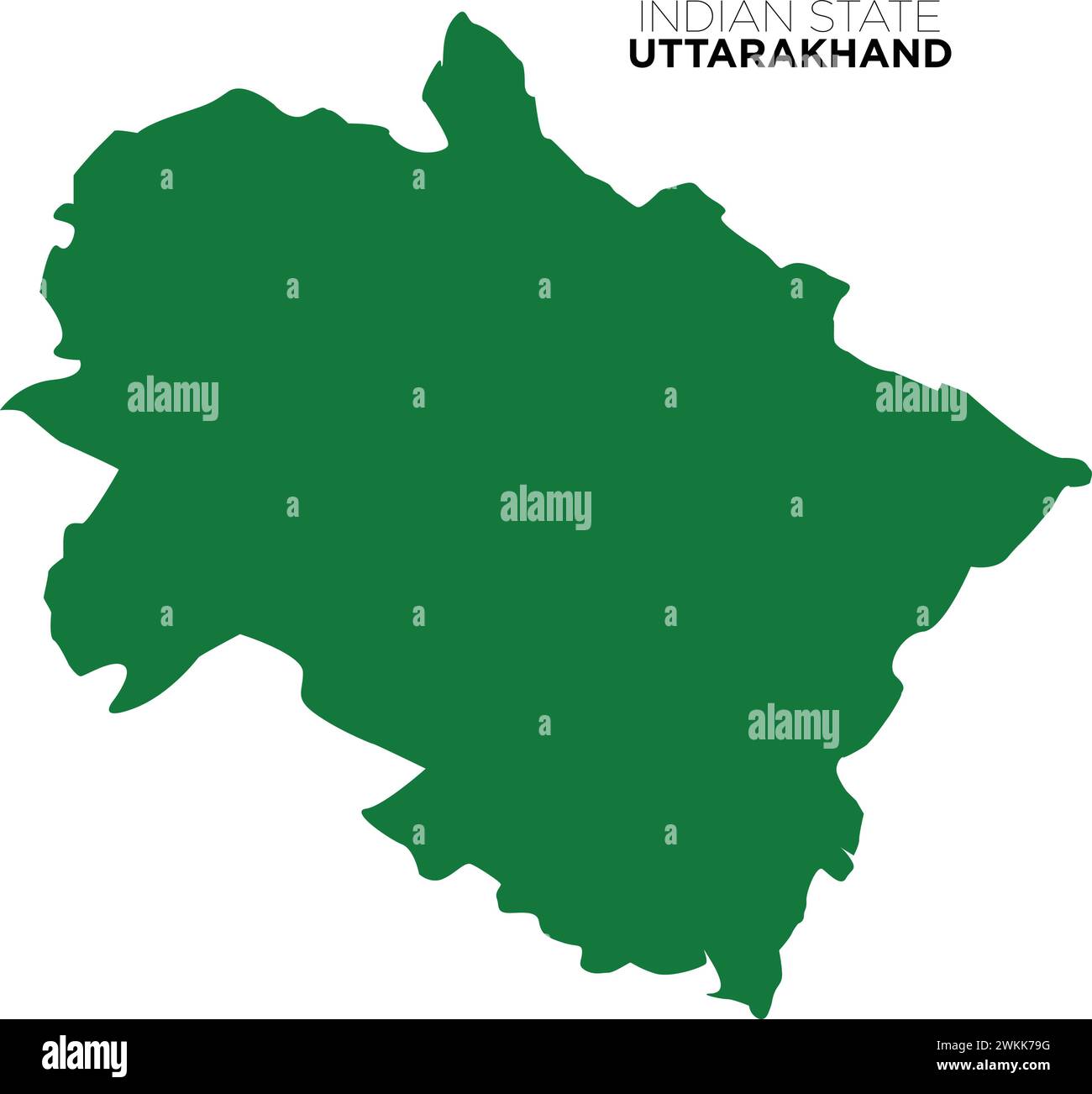 indian state uttarakhand map, dev bhoomi uttarakhand map, indian state map, vector Stock Vectorhttps://www.alamy.com/image-license-details/?v=1https://www.alamy.com/indian-state-uttarakhand-map-dev-bhoomi-uttarakhand-map-indian-state-map-vector-image597253820.html
RF2WKK79G–indian state uttarakhand map, dev bhoomi uttarakhand map, indian state map, vector
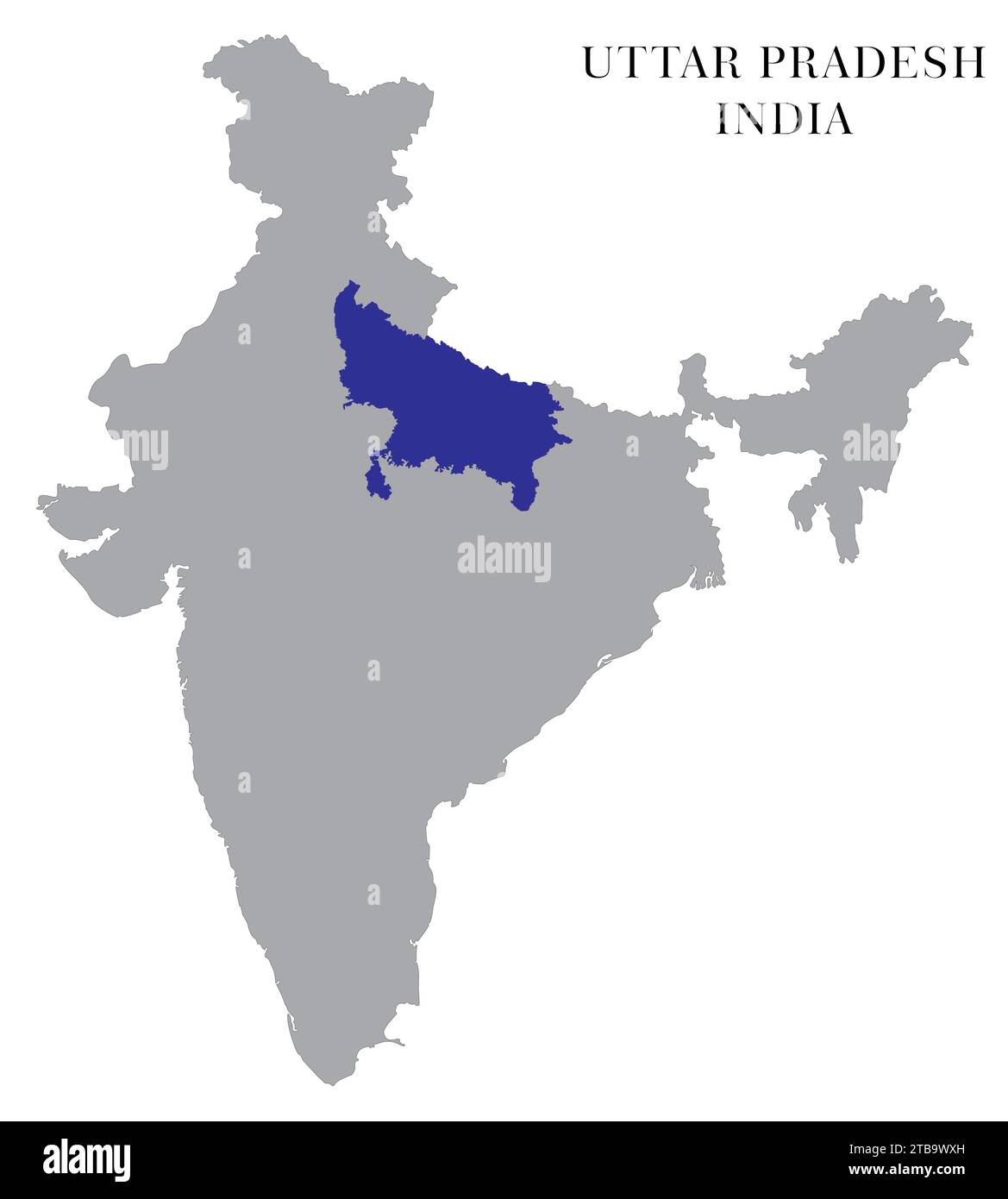 Uttar Pradesh Highlighted in India Map vector illustration Stock Vectorhttps://www.alamy.com/image-license-details/?v=1https://www.alamy.com/uttar-pradesh-highlighted-in-india-map-vector-illustration-image574921273.html
RF2TB9WXH–Uttar Pradesh Highlighted in India Map vector illustration
RF2XGTR2E–Gujarat State Map Vector Icon. India Gujarat Province State icon. Gujarat Map
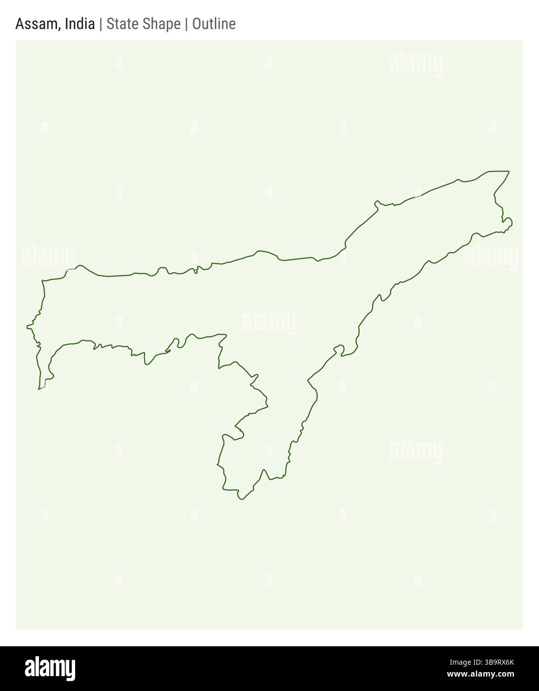 Assam, India. Simple vector map. State shape. Outline style. Border of Assam. Vector illustration. Stock Vectorhttps://www.alamy.com/image-license-details/?v=1https://www.alamy.com/assam-india-simple-vector-map-state-shape-outline-style-border-of-assam-vector-illustration-image677261723.html
RF3B9RX6K–Assam, India. Simple vector map. State shape. Outline style. Border of Assam. Vector illustration.
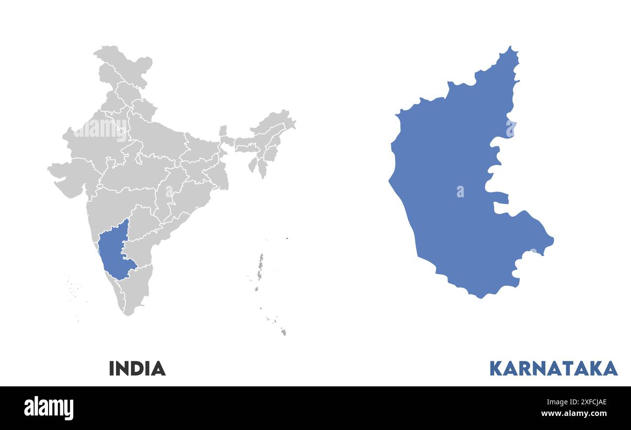 Karnataka Map1, State of India, Republic of India, government, Political map, modern map, Indian flag, vector illustration Stock Vectorhttps://www.alamy.com/image-license-details/?v=1https://www.alamy.com/karnataka-map1-state-of-india-republic-of-india-government-political-map-modern-map-indian-flag-vector-illustration-image611860550.html
RF2XFCJAE–Karnataka Map1, State of India, Republic of India, government, Political map, modern map, Indian flag, vector illustration
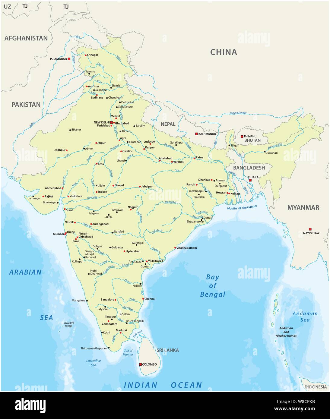 Map of India with the biggest cities and rivers Stock Vectorhttps://www.alamy.com/image-license-details/?v=1https://www.alamy.com/map-of-india-with-the-biggest-cities-and-rivers-image263353983.html
RFW8CPKB–Map of India with the biggest cities and rivers
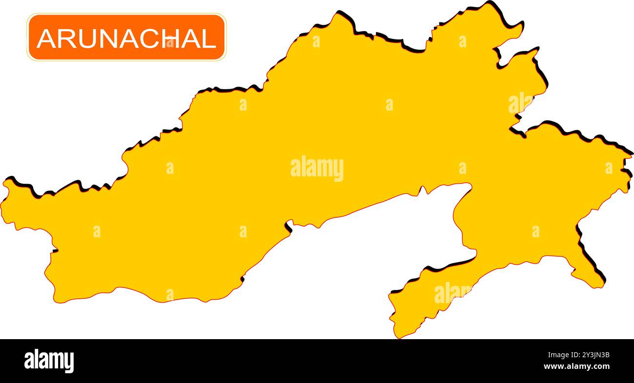 Meghalaya State Map of India with name on it Stock Vectorhttps://www.alamy.com/image-license-details/?v=1https://www.alamy.com/meghalaya-state-map-of-india-with-name-on-it-image621828911.html
RF2Y3JN3B–Meghalaya State Map of India with name on it
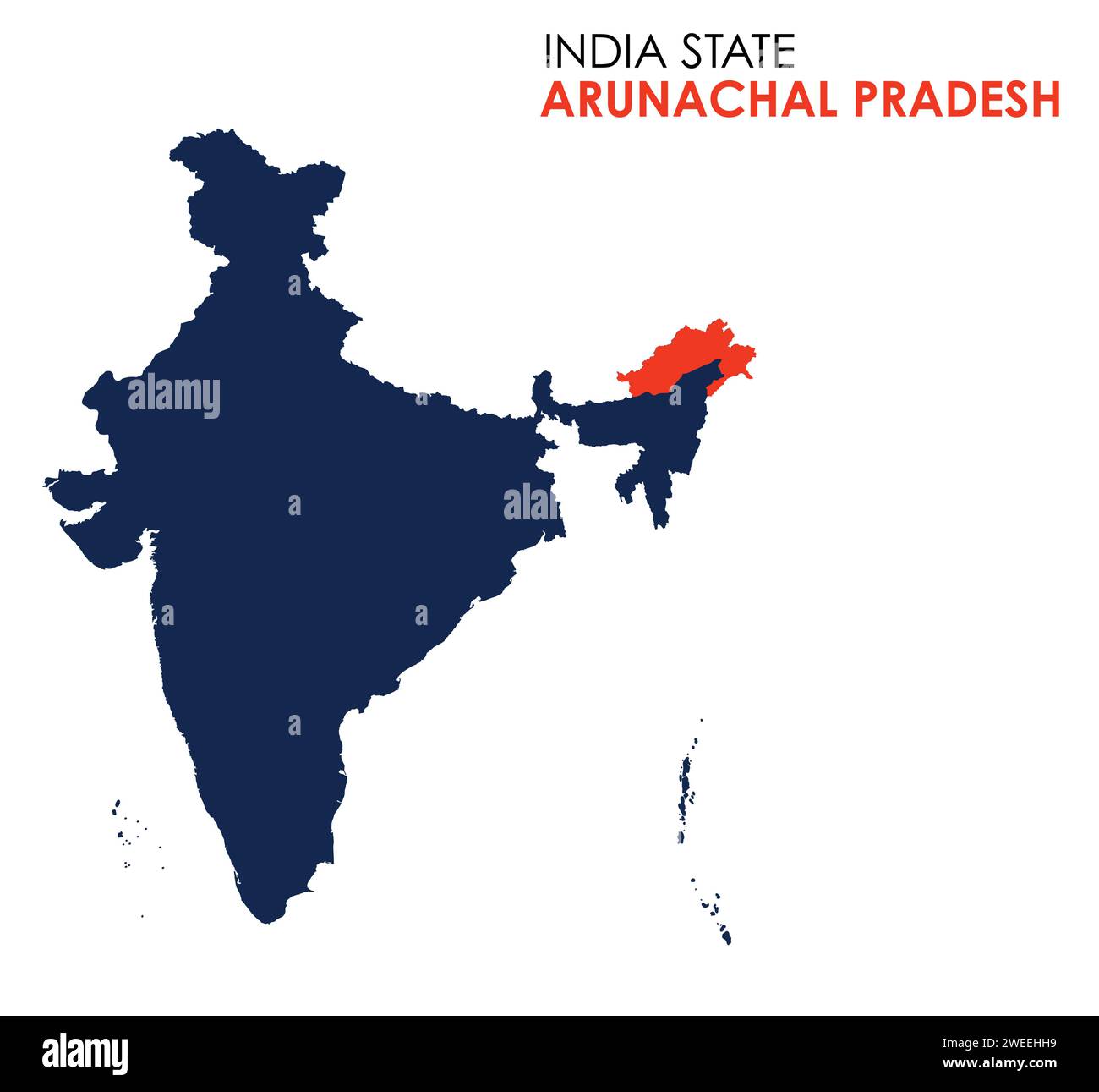 Arunachal Pradesh map of Indian state. Arunachal Pradesh map illustration Stock Vectorhttps://www.alamy.com/image-license-details/?v=1https://www.alamy.com/arunachal-pradesh-map-of-indian-state-arunachal-pradesh-map-illustration-image594078837.html
RF2WEEHH9–Arunachal Pradesh map of Indian state. Arunachal Pradesh map illustration
 India, country, dotted map on white background. Vector illustration. Stock Vectorhttps://www.alamy.com/image-license-details/?v=1https://www.alamy.com/india-country-dotted-map-on-white-background-vector-illustration-image377471853.html
RF2CX395H–India, country, dotted map on white background. Vector illustration.
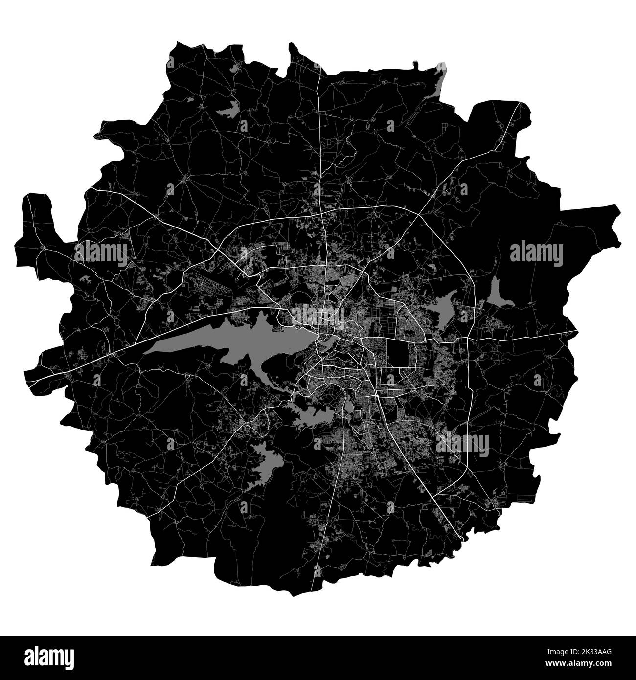 Bhopal map. Detailed vector map of Bhopal city administrative area. Cityscape poster metropolitan aria view. Black land with white roads and avenues. Stock Vectorhttps://www.alamy.com/image-license-details/?v=1https://www.alamy.com/bhopal-map-detailed-vector-map-of-bhopal-city-administrative-area-cityscape-poster-metropolitan-aria-view-black-land-with-white-roads-and-avenues-image486881544.html
RF2K83AAG–Bhopal map. Detailed vector map of Bhopal city administrative area. Cityscape poster metropolitan aria view. Black land with white roads and avenues.
 Symbol Map of the State Bihar (India). Abstract map showing the state/province with a pattern of overlapping colorful squares like candies Stock Vectorhttps://www.alamy.com/image-license-details/?v=1https://www.alamy.com/symbol-map-of-the-state-bihar-india-abstract-map-showing-the-stateprovince-with-a-pattern-of-overlapping-colorful-squares-like-candies-image611836994.html
RF2XFBG96–Symbol Map of the State Bihar (India). Abstract map showing the state/province with a pattern of overlapping colorful squares like candies
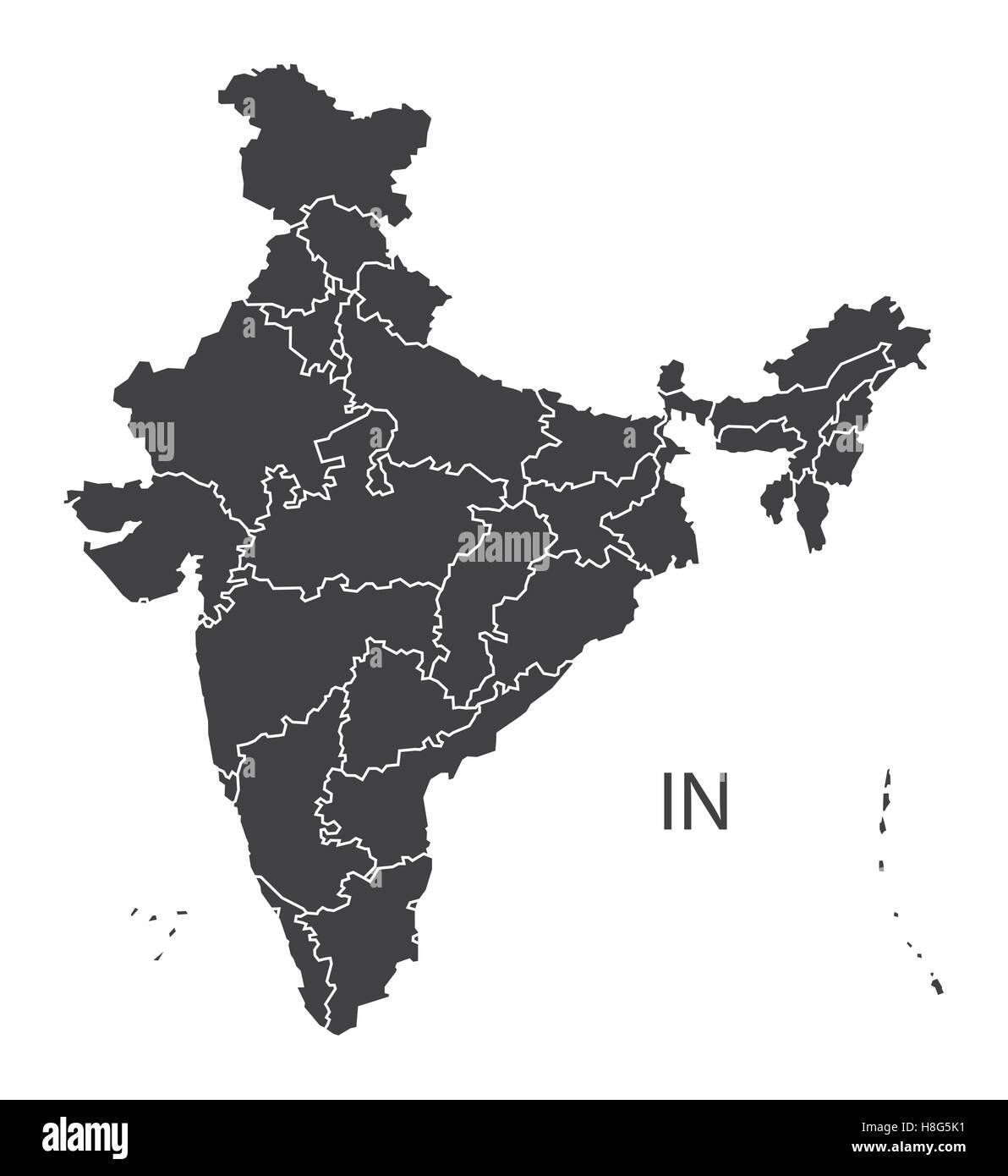 India Map black edition Stock Vectorhttps://www.alamy.com/image-license-details/?v=1https://www.alamy.com/stock-photo-india-map-black-edition-125745509.html
RFH8G5K1–India Map black edition
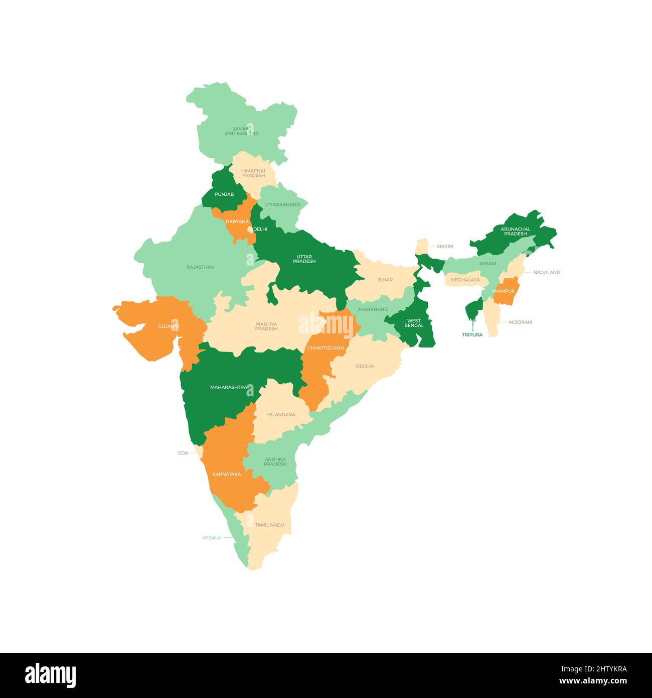 India Country Regions Vector Map Stock Vectorhttps://www.alamy.com/image-license-details/?v=1https://www.alamy.com/india-country-regions-vector-map-image462829566.html
RF2HTYKRA–India Country Regions Vector Map
 India map vector illustration, scribble sketch Republic India map, Indian map silhouette, Indian country Stock Vectorhttps://www.alamy.com/image-license-details/?v=1https://www.alamy.com/india-map-vector-illustration-scribble-sketch-republic-india-map-indian-map-silhouette-indian-country-image636334280.html
RF2YY7ET8–India map vector illustration, scribble sketch Republic India map, Indian map silhouette, Indian country
 India map flag vector with independence day wishes Stock Vectorhttps://www.alamy.com/image-license-details/?v=1https://www.alamy.com/india-map-flag-vector-with-independence-day-wishes-image213180797.html
RFPAR67W–India map flag vector with independence day wishes
RF2RRPXY2–india map icon vector illustration design
 India MAP in Blue, Country Map, India, Border Map, Border line of India, Geographic Map Stock Vectorhttps://www.alamy.com/image-license-details/?v=1https://www.alamy.com/india-map-in-blue-country-map-india-border-map-border-line-of-india-geographic-map-image632750723.html
RF2YNC803–India MAP in Blue, Country Map, India, Border Map, Border line of India, Geographic Map
 Vector halftone Dotted map of India country for your design, Travel Illustration concept. Stock Vectorhttps://www.alamy.com/image-license-details/?v=1https://www.alamy.com/vector-halftone-dotted-map-of-india-country-for-your-design-travel-illustration-concept-image434103535.html
RF2G673DK–Vector halftone Dotted map of India country for your design, Travel Illustration concept.
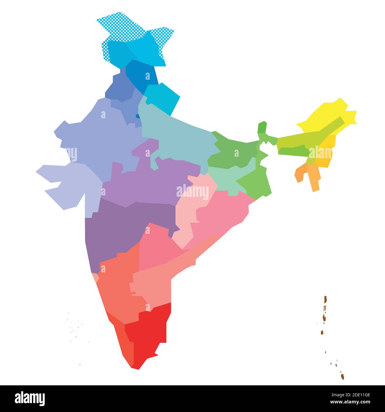 Blank colorful political map of India. Administrative divisions - states and union territories. Simple flat vector map. Stock Vectorhttps://www.alamy.com/image-license-details/?v=1https://www.alamy.com/blank-colorful-political-map-of-india-administrative-divisions-states-and-union-territories-simple-flat-vector-map-image387256478.html
RF2DE11GE–Blank colorful political map of India. Administrative divisions - states and union territories. Simple flat vector map.
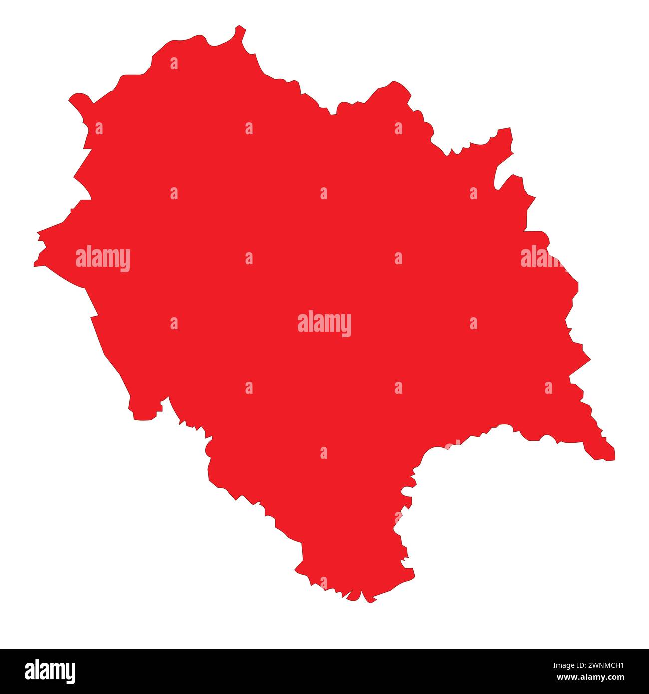 Indian State HImachal Pradesh Map vector illustration Stock Vectorhttps://www.alamy.com/image-license-details/?v=1https://www.alamy.com/indian-state-himachal-pradesh-map-vector-illustration-image598509213.html
RF2WNMCH1–Indian State HImachal Pradesh Map vector illustration
 Indian state Andhra Pradesh map vector , Andhra Pradesh map Stock Vectorhttps://www.alamy.com/image-license-details/?v=1https://www.alamy.com/indian-state-andhra-pradesh-map-vector-andhra-pradesh-map-image574683906.html
RF2TAY356–Indian state Andhra Pradesh map vector , Andhra Pradesh map
RF2XGTWKB–Maharashtra State Map Vector Icon. India Maharashtra Province State icon. Maharashtra Map
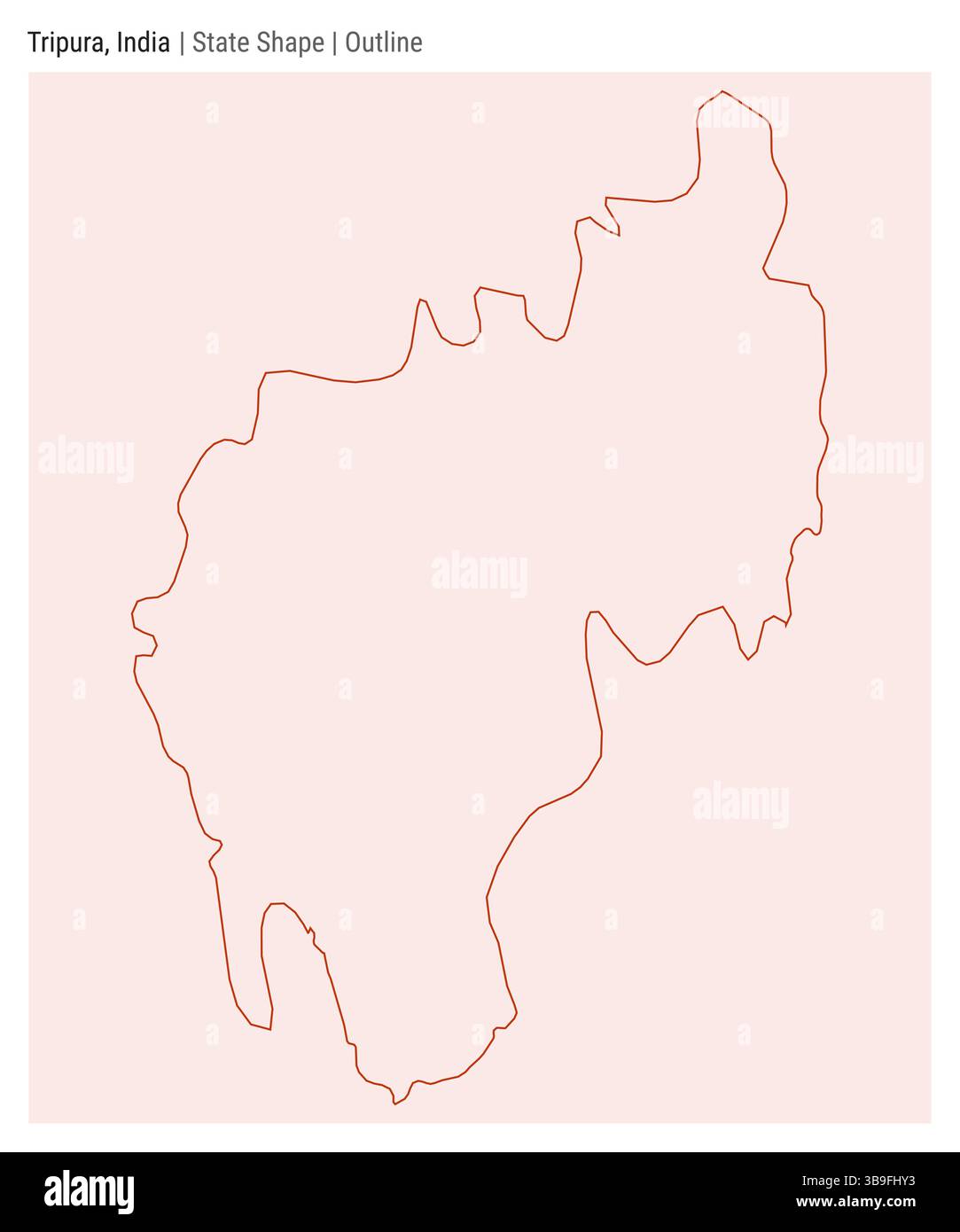 Tripura, India. Simple vector map. State shape. Outline style. Border of Tripura. Vector illustration. Stock Vectorhttps://www.alamy.com/image-license-details/?v=1https://www.alamy.com/tripura-india-simple-vector-map-state-shape-outline-style-border-of-tripura-vector-illustration-image677079623.html
RF3B9FHY3–Tripura, India. Simple vector map. State shape. Outline style. Border of Tripura. Vector illustration.
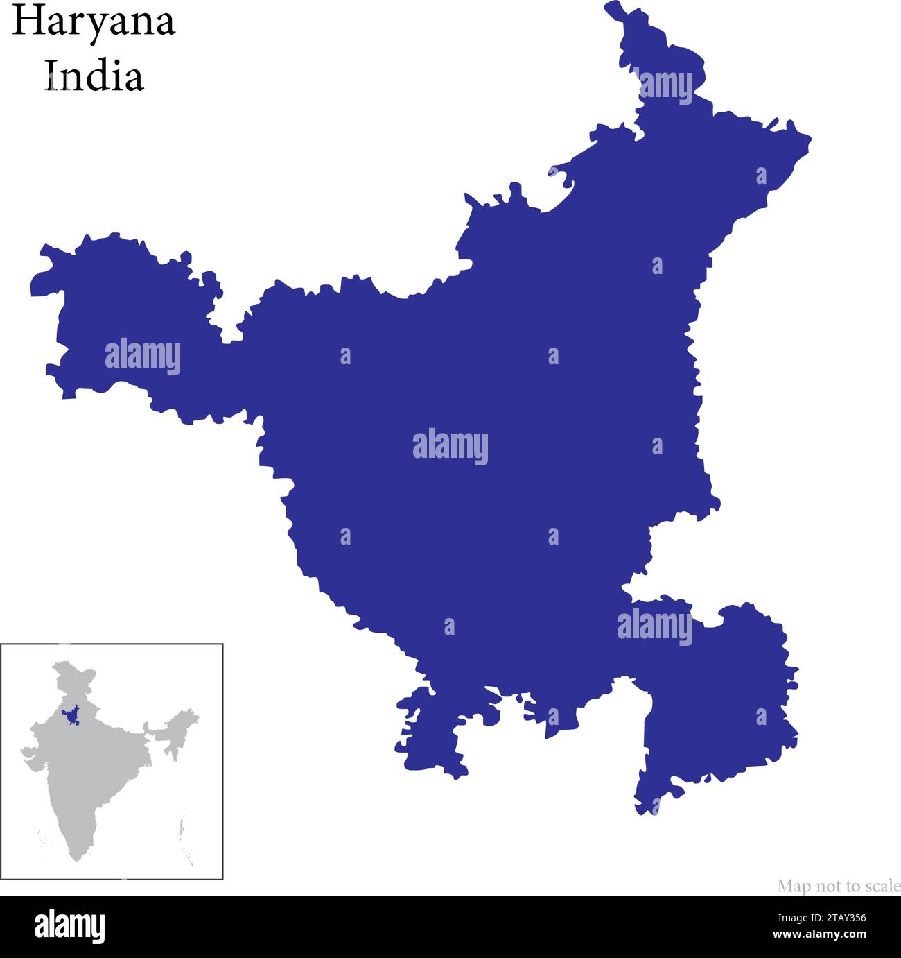
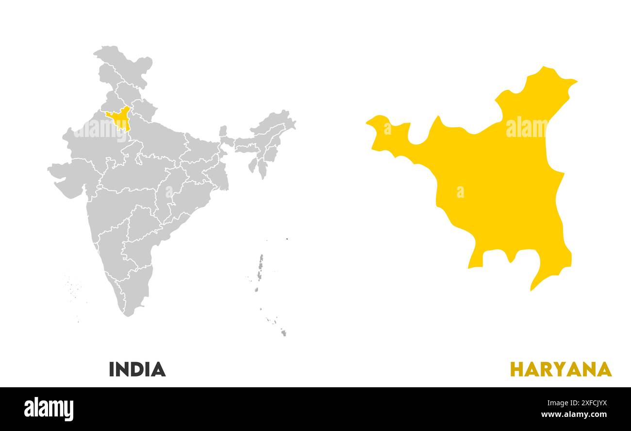 Haryana Map1, State of India, Republic of India, government, Political map, modern map, Indian flag, vector illustration Stock Vectorhttps://www.alamy.com/image-license-details/?v=1https://www.alamy.com/haryana-map1-state-of-india-republic-of-india-government-political-map-modern-map-indian-flag-vector-illustration-image611861038.html
RF2XFCJYX–Haryana Map1, State of India, Republic of India, government, Political map, modern map, Indian flag, vector illustration
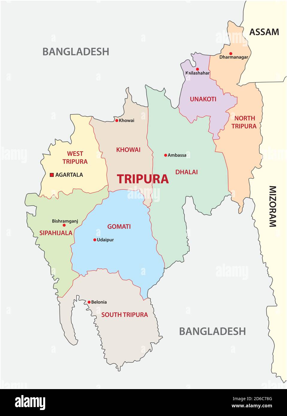 Tripura administrative and political vector map, india Stock Vectorhttps://www.alamy.com/image-license-details/?v=1https://www.alamy.com/tripura-administrative-and-political-vector-map-india-image382585184.html
RF2D6C78G–Tripura administrative and political vector map, india
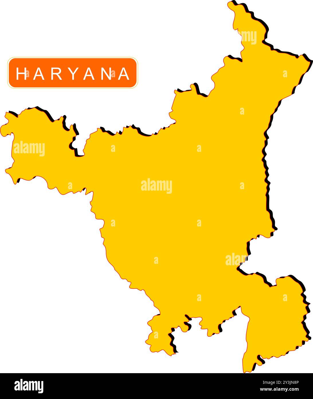 Haryana State Map of India with name on it Stock Vectorhttps://www.alamy.com/image-license-details/?v=1https://www.alamy.com/haryana-state-map-of-india-with-name-on-it-image621829062.html
RF2Y3JN8P–Haryana State Map of India with name on it
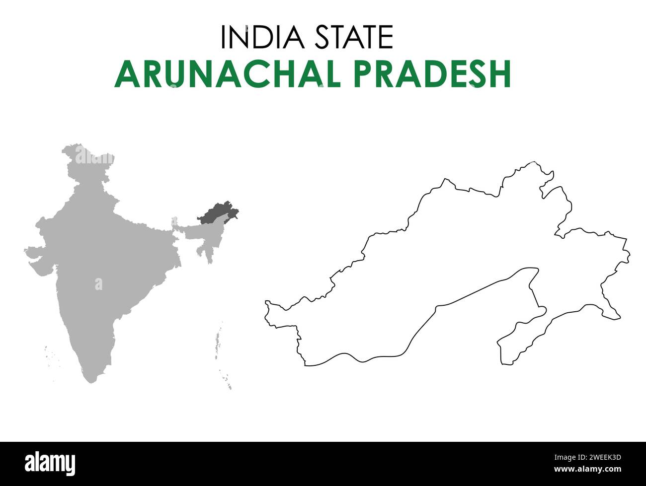 Arunachal Pradesh map of Indian state. Arunachal Pradesh map illustration Stock Vectorhttps://www.alamy.com/image-license-details/?v=1https://www.alamy.com/arunachal-pradesh-map-of-indian-state-arunachal-pradesh-map-illustration-image594080017.html
RF2WEEK3D–Arunachal Pradesh map of Indian state. Arunachal Pradesh map illustration
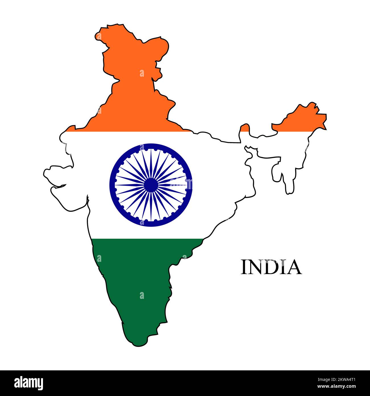 India map vector illustration. Global economy. Famous country. South Asia Stock Vectorhttps://www.alamy.com/image-license-details/?v=1https://www.alamy.com/india-map-vector-illustration-global-economy-famous-country-south-asia-image497480033.html
RF2KWA4T1–India map vector illustration. Global economy. Famous country. South Asia
RF2Y330HH–Vector isolated simplified illustration icon with black silhouette of India map. White background
 Symbol Map of the State Uttarakhand (India). Abstract map showing the state/province with a pattern of overlapping colorful squares like candies Stock Vectorhttps://www.alamy.com/image-license-details/?v=1https://www.alamy.com/symbol-map-of-the-state-uttarakhand-india-abstract-map-showing-the-stateprovince-with-a-pattern-of-overlapping-colorful-squares-like-candies-image611839407.html
RF2XFBKBB–Symbol Map of the State Uttarakhand (India). Abstract map showing the state/province with a pattern of overlapping colorful squares like candies
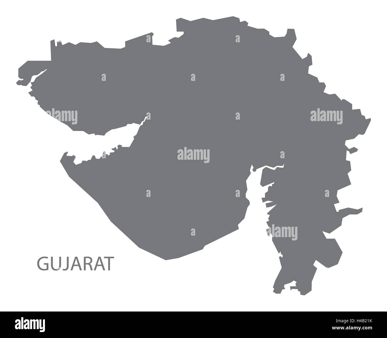 Gujarat india grey map illustration Stock Vectorhttps://www.alamy.com/image-license-details/?v=1https://www.alamy.com/stock-photo-gujarat-india-grey-map-illustration-123174287.html
RFH4B21K–Gujarat india grey map illustration
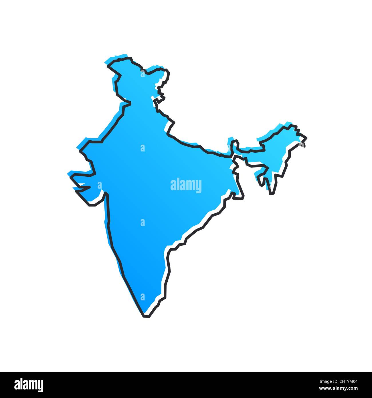 India Blue Stylised Vector Map Stock Vectorhttps://www.alamy.com/image-license-details/?v=1https://www.alamy.com/india-blue-stylised-vector-map-image462829700.html
RF2HTYM04–India Blue Stylised Vector Map
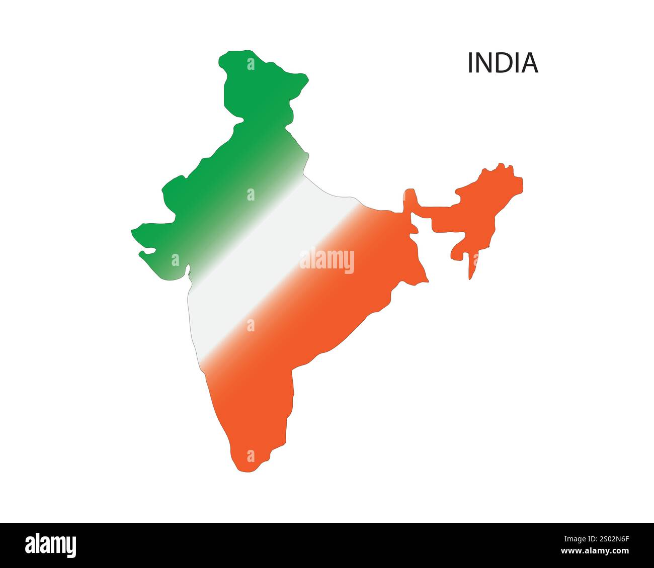 India map vector illustration, scribble sketch Republic India map, Indian map silhouette, Indian country, India national color, orange green and white Stock Vectorhttps://www.alamy.com/image-license-details/?v=1https://www.alamy.com/india-map-vector-illustration-scribble-sketch-republic-india-map-indian-map-silhouette-indian-country-india-national-color-orange-green-and-white-image636844167.html
RF2S02N6F–India map vector illustration, scribble sketch Republic India map, Indian map silhouette, Indian country, India national color, orange green and white
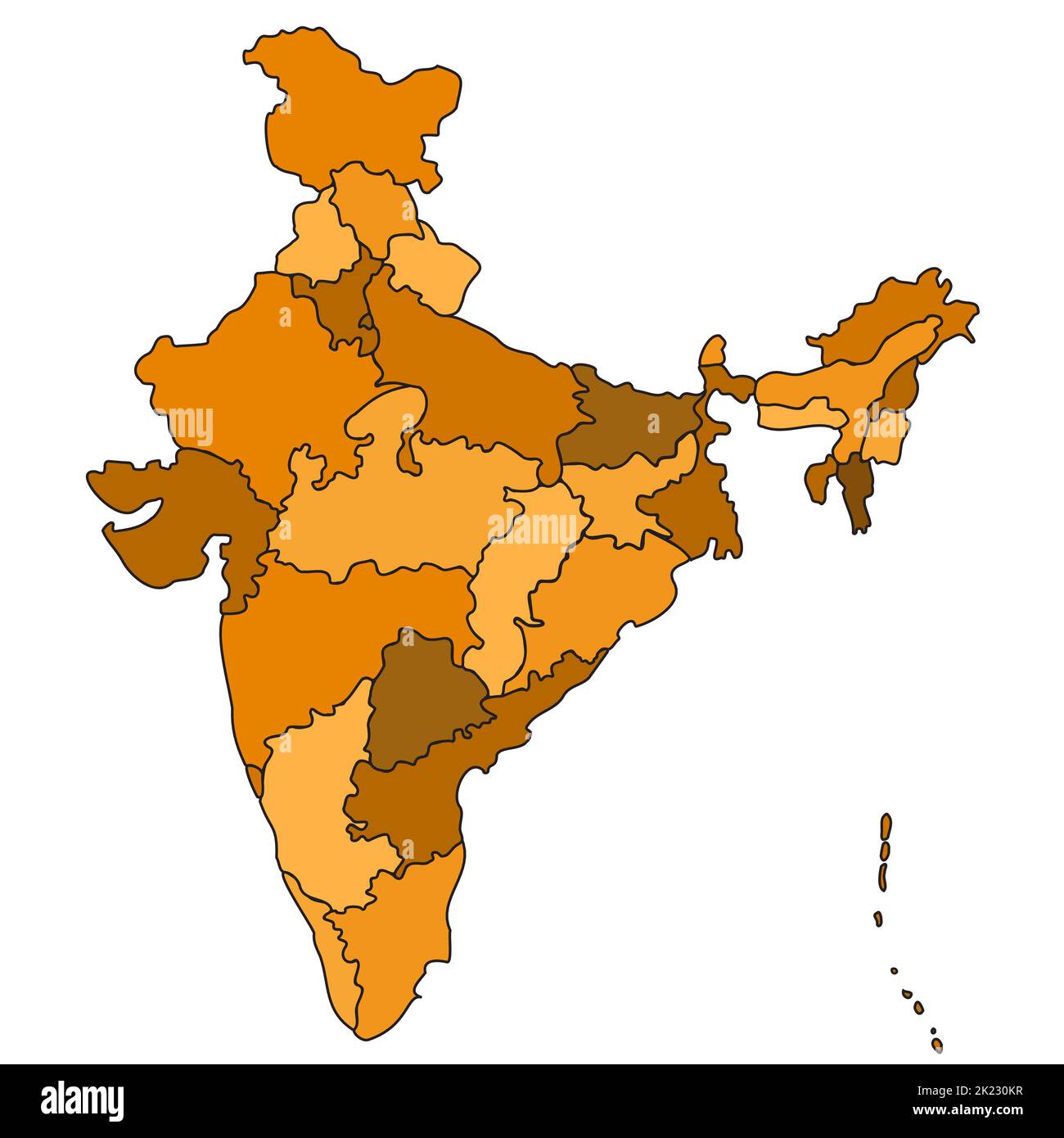 India Country States Outline Map Isolated Illustration Travel Culture Geography Background Stock Vectorhttps://www.alamy.com/image-license-details/?v=1https://www.alamy.com/india-country-states-outline-map-isolated-illustration-travel-culture-geography-background-image483186027.html
RF2K230KR–India Country States Outline Map Isolated Illustration Travel Culture Geography Background
RF2RRPPE1–india map icon vector illustration design
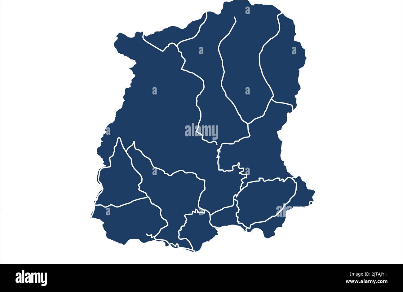 Sikkim India Vector map illustration with vehicle road map , Sikkim vehicle road map Stock Vectorhttps://www.alamy.com/image-license-details/?v=1https://www.alamy.com/sikkim-india-vector-map-illustration-with-vehicle-road-map-sikkim-vehicle-road-map-image479666085.html
RF2JTAJYH–Sikkim India Vector map illustration with vehicle road map , Sikkim vehicle road map
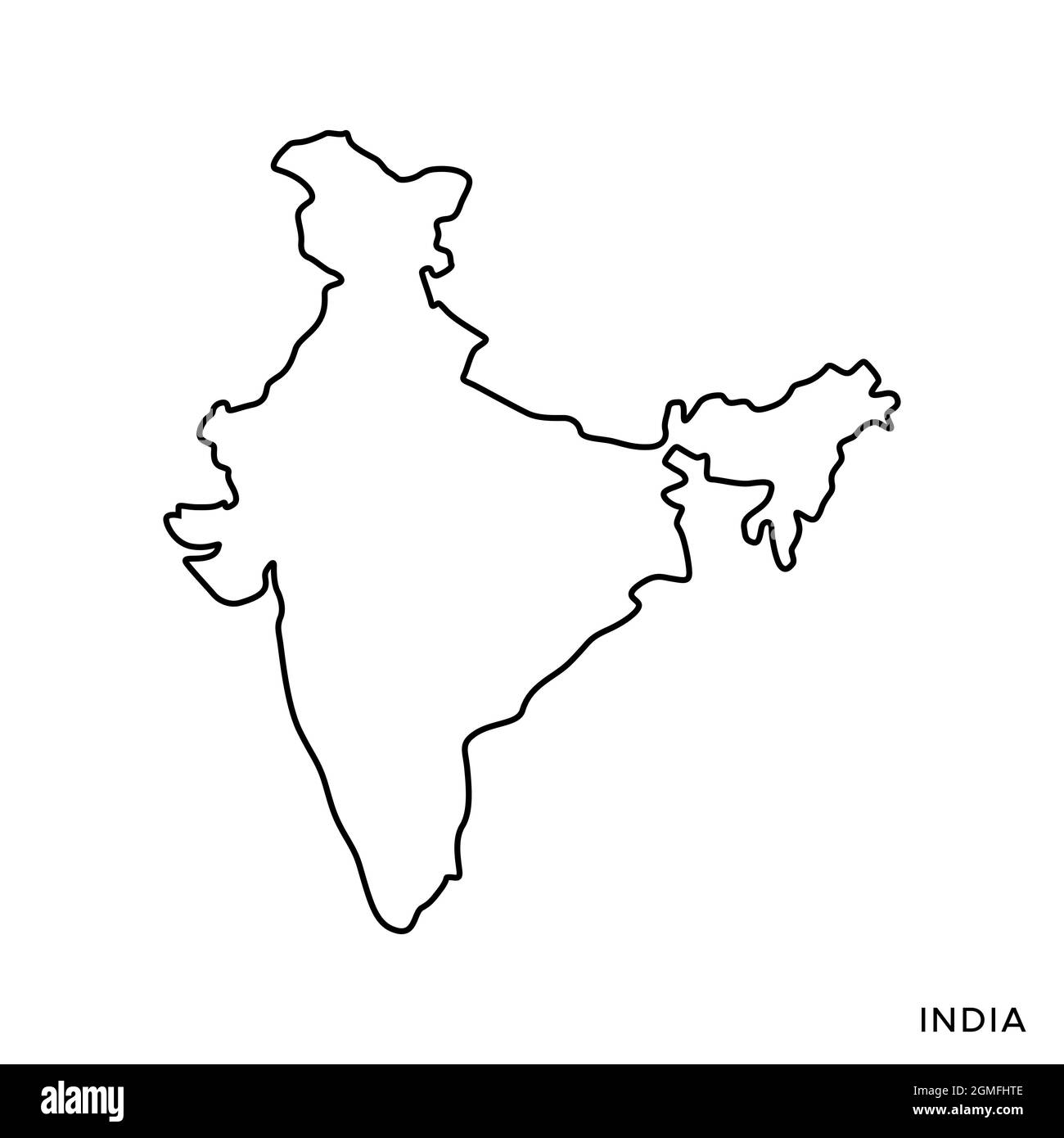 Line map of India vector stock illustration design template. Editable stroke. Vector eps 10. Stock Vectorhttps://www.alamy.com/image-license-details/?v=1https://www.alamy.com/line-map-of-india-vector-stock-illustration-design-template-editable-stroke-vector-eps-10-image442895614.html
RF2GMFHTE–Line map of India vector stock illustration design template. Editable stroke. Vector eps 10.
 Political map of India. Administrative divisions - states and union territories. Simple black outline vector map with labels. Stock Vectorhttps://www.alamy.com/image-license-details/?v=1https://www.alamy.com/political-map-of-india-administrative-divisions-states-and-union-territories-simple-black-outline-vector-map-with-labels-image396548635.html
RF2E149R7–Political map of India. Administrative divisions - states and union territories. Simple black outline vector map with labels.
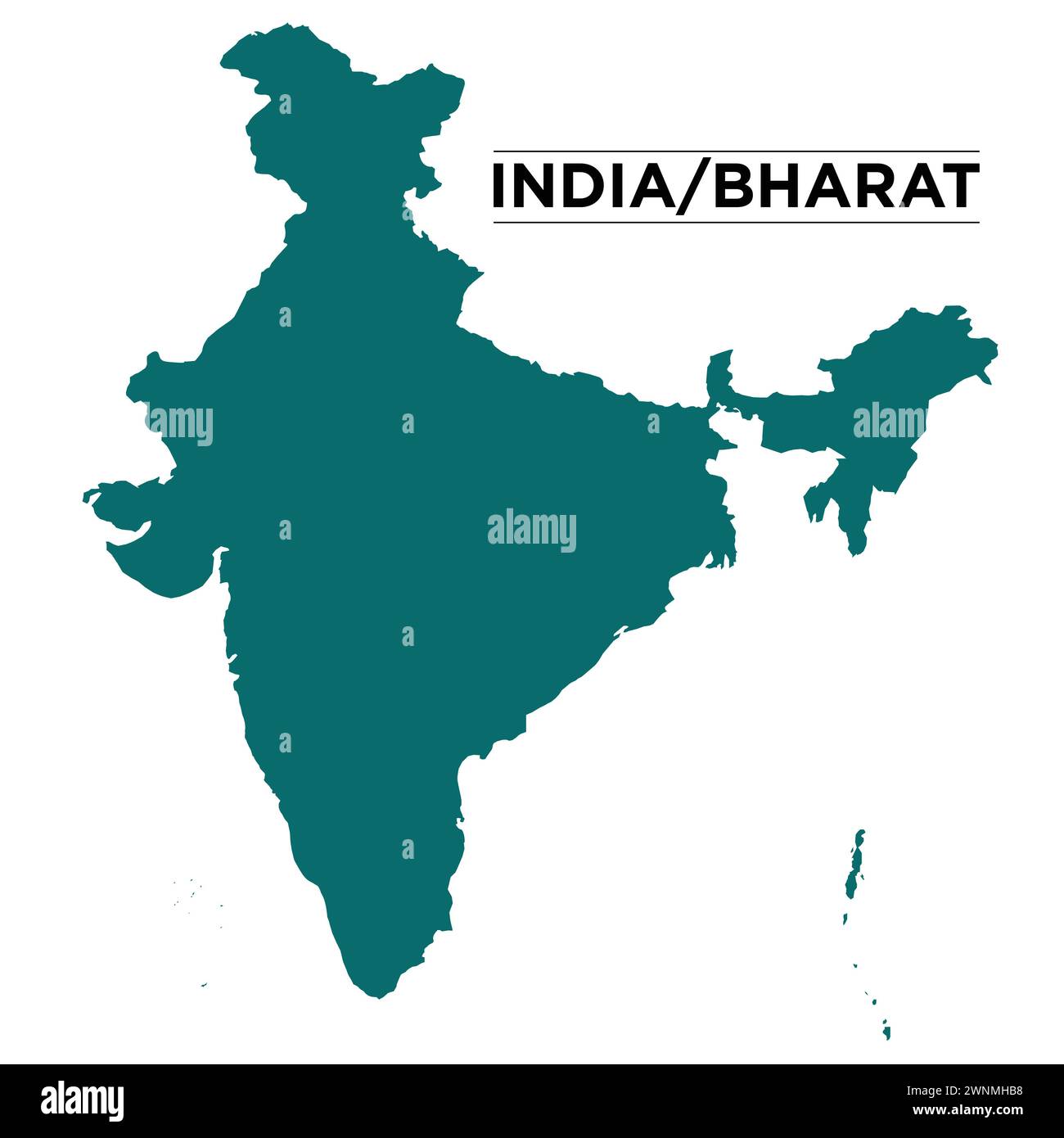 India Map, Asian subcontinent vector illustration Stock Vectorhttps://www.alamy.com/image-license-details/?v=1https://www.alamy.com/india-map-asian-subcontinent-vector-illustration-image598512972.html
RF2WNMHB8–India Map, Asian subcontinent vector illustration
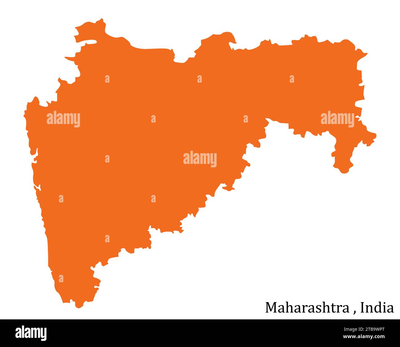 map of the Maharashtra state isolated on the white Stock Vectorhttps://www.alamy.com/image-license-details/?v=1https://www.alamy.com/map-of-the-maharashtra-state-isolated-on-the-white-image574921168.html
RF2TB9WPT–map of the Maharashtra state isolated on the white
RF2XGTR3N–Telangana State Map Vector Icon. India Telangana Province State icon. Telangana Map
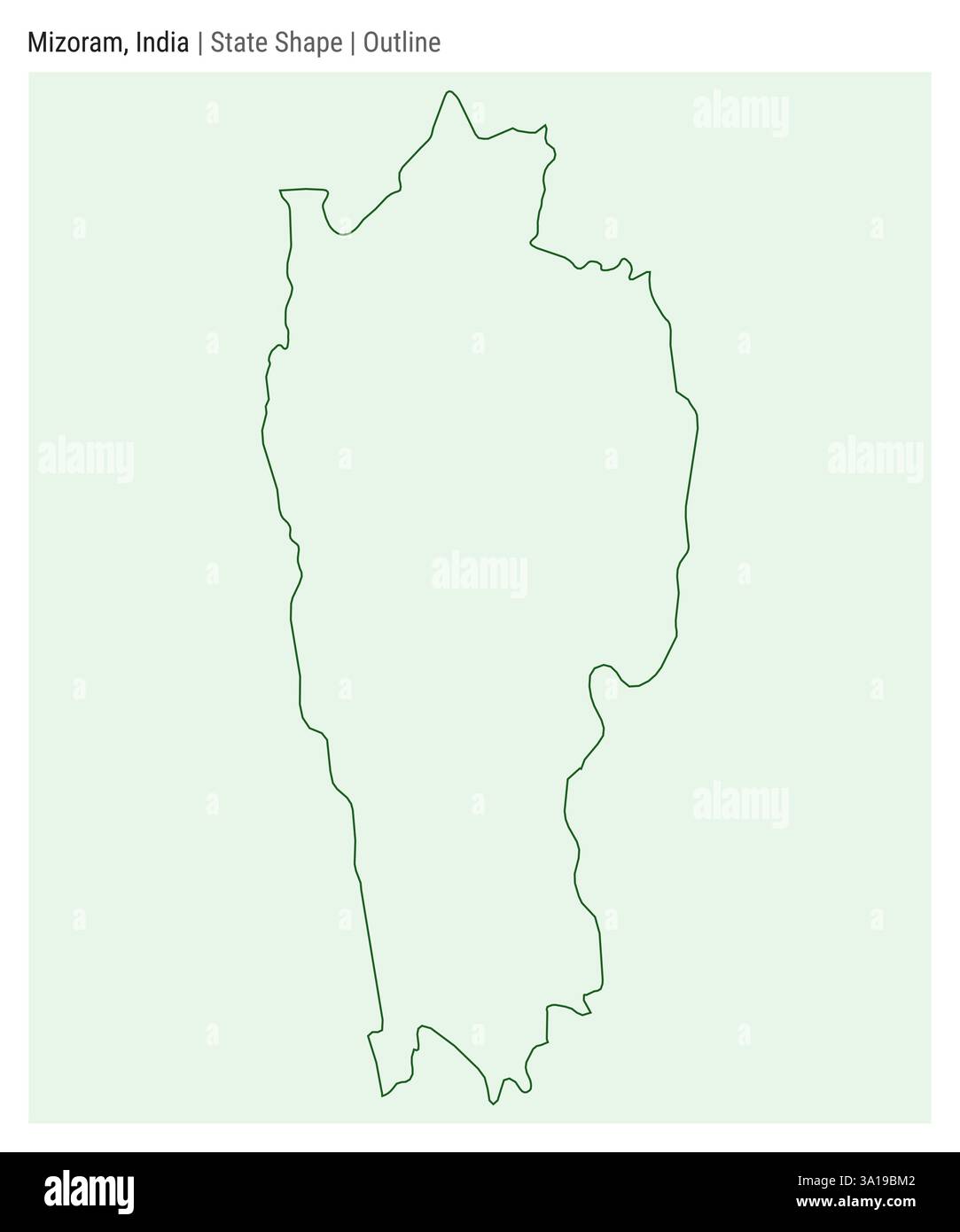 Mizoram, India. Simple vector map. State shape. Outline style. Border of Mizoram. Vector illustration. Stock Vectorhttps://www.alamy.com/image-license-details/?v=1https://www.alamy.com/mizoram-india-simple-vector-map-state-shape-outline-style-border-of-mizoram-vector-illustration-image654815394.html
RF3A19BM2–Mizoram, India. Simple vector map. State shape. Outline style. Border of Mizoram. Vector illustration.
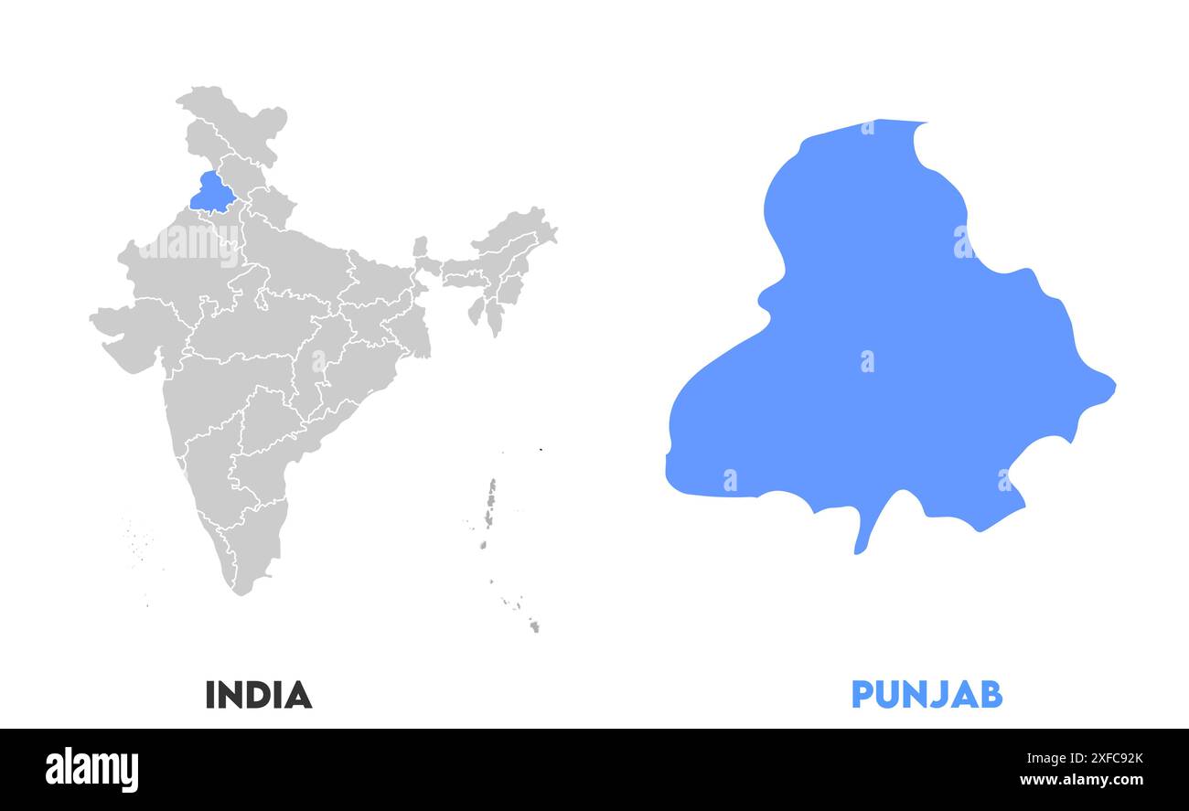 Punjab Map1, State of India, Republic of India, government, Political map, modern map, Indian flag, vector illustration Stock Vectorhttps://www.alamy.com/image-license-details/?v=1https://www.alamy.com/punjab-map1-state-of-india-republic-of-india-government-political-map-modern-map-indian-flag-vector-illustration-image611853275.html
RF2XFC92K–Punjab Map1, State of India, Republic of India, government, Political map, modern map, Indian flag, vector illustration
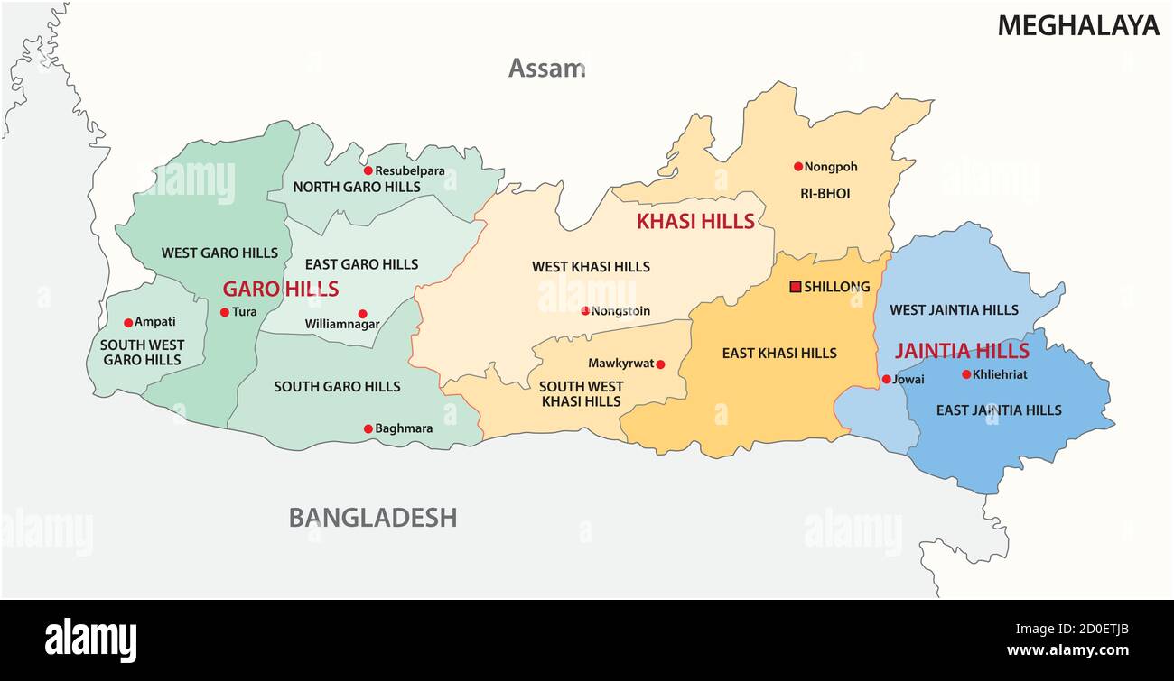 Meghalaya administrative and political vector map, India Stock Vectorhttps://www.alamy.com/image-license-details/?v=1https://www.alamy.com/meghalaya-administrative-and-political-vector-map-india-image378954755.html
RF2D0ETJB–Meghalaya administrative and political vector map, India
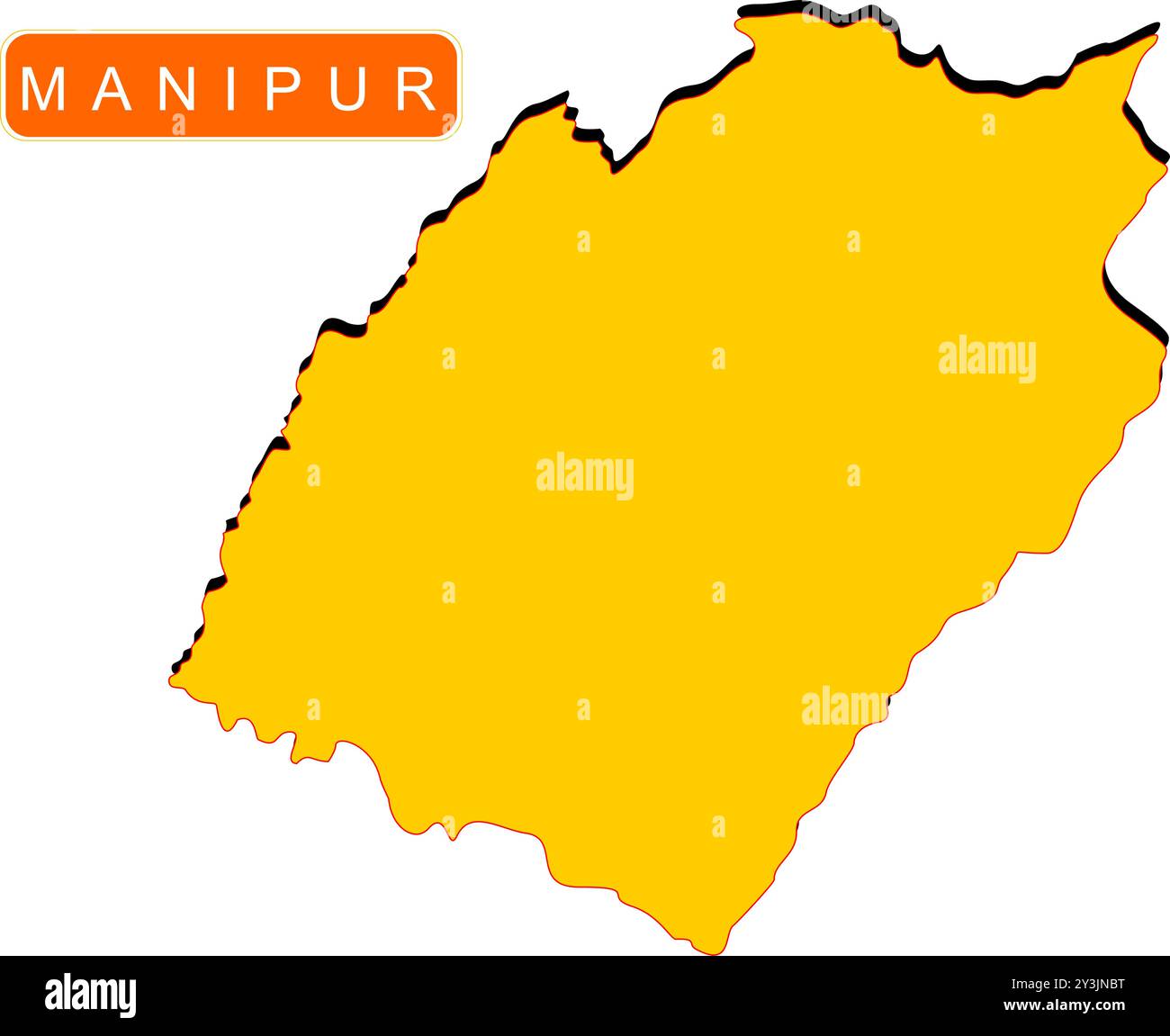 Manipur State Map of India with name on it Stock Vectorhttps://www.alamy.com/image-license-details/?v=1https://www.alamy.com/manipur-state-map-of-india-with-name-on-it-image621829148.html
RF2Y3JNBT–Manipur State Map of India with name on it
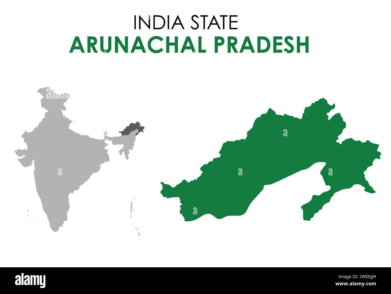 Arunachal Pradesh map of Indian state. Arunachal Pradesh map illustration Stock Vectorhttps://www.alamy.com/image-license-details/?v=1https://www.alamy.com/arunachal-pradesh-map-of-indian-state-arunachal-pradesh-map-illustration-image594079657.html
RF2WEEJJH–Arunachal Pradesh map of Indian state. Arunachal Pradesh map illustration
RF2P9X9E0–INDIA or KERALA state map icon.vector illustration symbol design
RF2Y32YMY–Vector isolated simplified illustration icon with black line silhouette of India map. White background
 Symbol Map of the State Odisha (India). Abstract map showing the state/province with a pattern of overlapping colorful squares like candies Stock Vectorhttps://www.alamy.com/image-license-details/?v=1https://www.alamy.com/symbol-map-of-the-state-odisha-india-abstract-map-showing-the-stateprovince-with-a-pattern-of-overlapping-colorful-squares-like-candies-image611834363.html
RF2XFBCY7–Symbol Map of the State Odisha (India). Abstract map showing the state/province with a pattern of overlapping colorful squares like candies
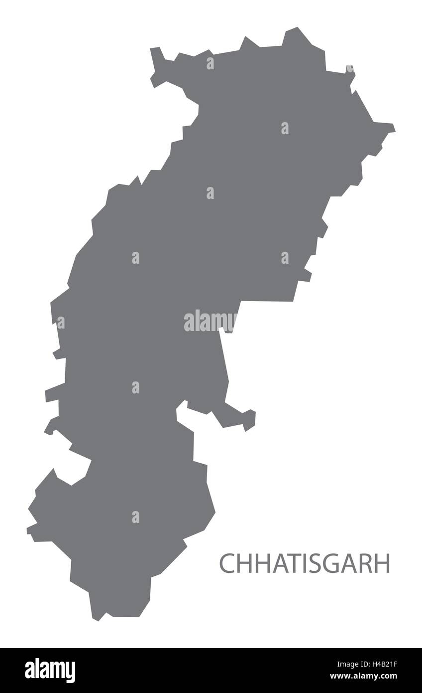 Chhatisgarh india grey map illustration Stock Vectorhttps://www.alamy.com/image-license-details/?v=1https://www.alamy.com/stock-photo-chhatisgarh-india-grey-map-illustration-123174283.html
RFH4B21F–Chhatisgarh india grey map illustration
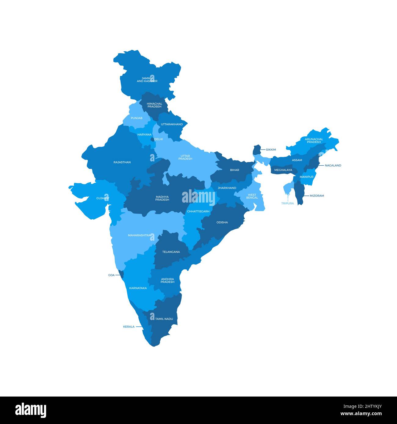 India Country Regions Vector Map Stock Vectorhttps://www.alamy.com/image-license-details/?v=1https://www.alamy.com/india-country-regions-vector-map-image462829443.html
RF2HTYKJY–India Country Regions Vector Map
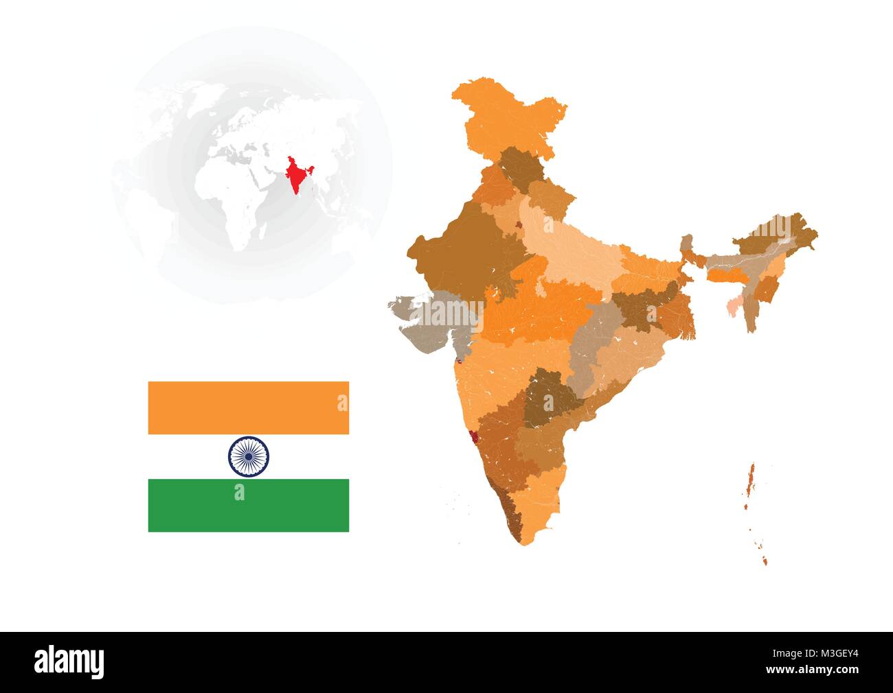 Map of India with rivers and lakes, national flag of India, world map as background. Map consists of separate maps of federal states and union territo Stock Vectorhttps://www.alamy.com/image-license-details/?v=1https://www.alamy.com/stock-photo-map-of-india-with-rivers-and-lakes-national-flag-of-india-world-map-174310616.html
RFM3GEY4–Map of India with rivers and lakes, national flag of India, world map as background. Map consists of separate maps of federal states and union territo
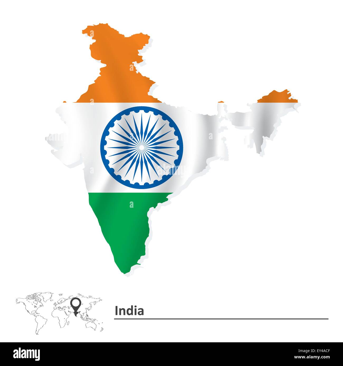 Map of India with flag - vector illustration Stock Vectorhttps://www.alamy.com/image-license-details/?v=1https://www.alamy.com/stock-photo-map-of-india-with-flag-vector-illustration-85533183.html
RFEY4ACF–Map of India with flag - vector illustration
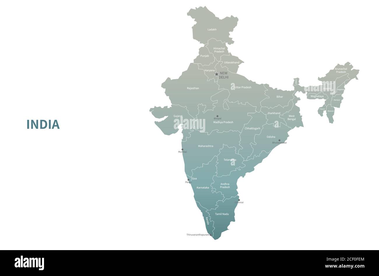 India vector map. Country Map Green Series. Stock Vectorhttps://www.alamy.com/image-license-details/?v=1https://www.alamy.com/india-vector-map-country-map-green-series-image370649740.html
RF2CF0FEM–India vector map. Country Map Green Series.
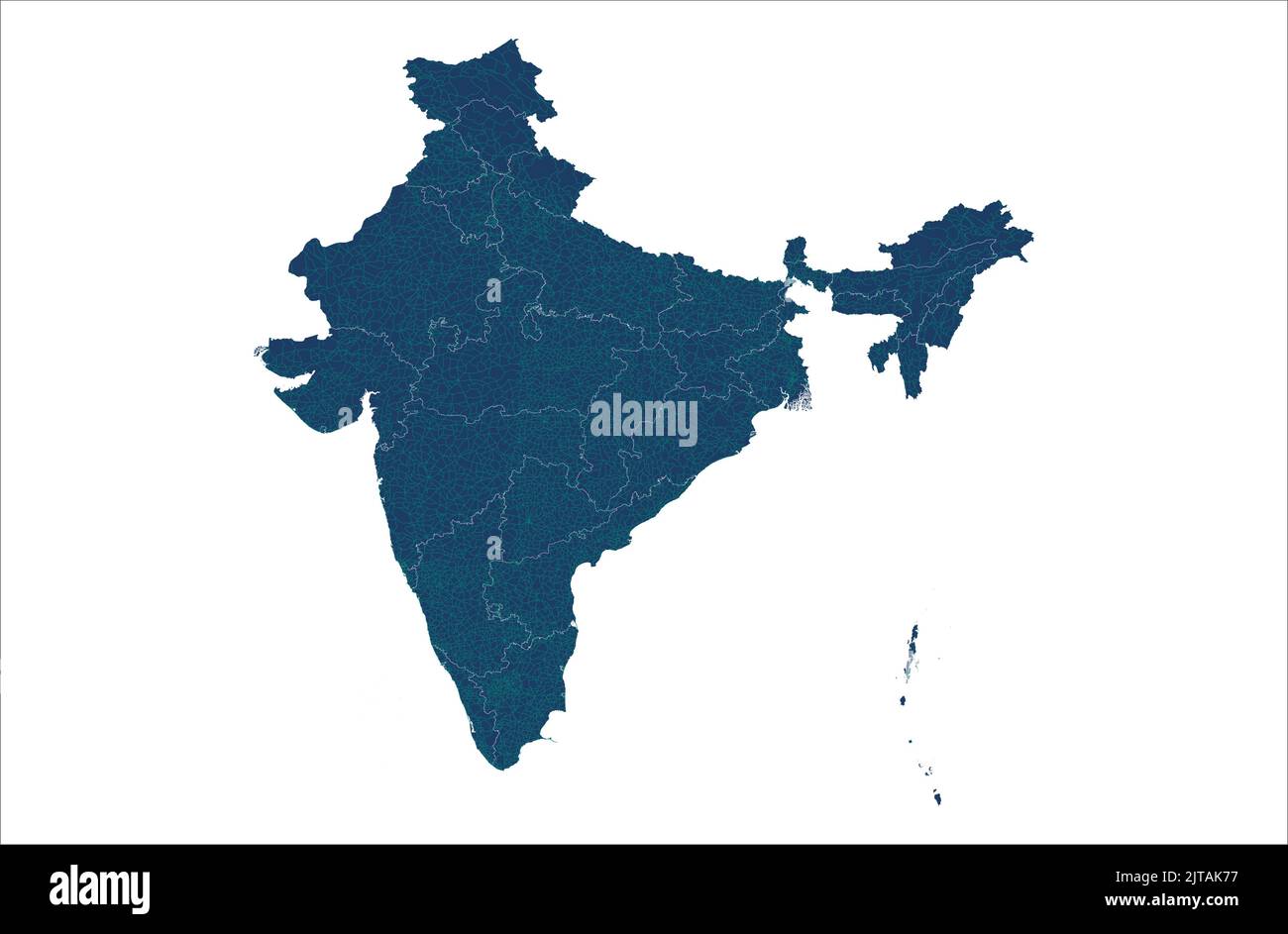 India vector map illustration with road map , India states map, India vehicle road map illustration Stock Vectorhttps://www.alamy.com/image-license-details/?v=1https://www.alamy.com/india-vector-map-illustration-with-road-map-india-states-map-india-vehicle-road-map-illustration-image479666299.html
RF2JTAK77–India vector map illustration with road map , India states map, India vehicle road map illustration
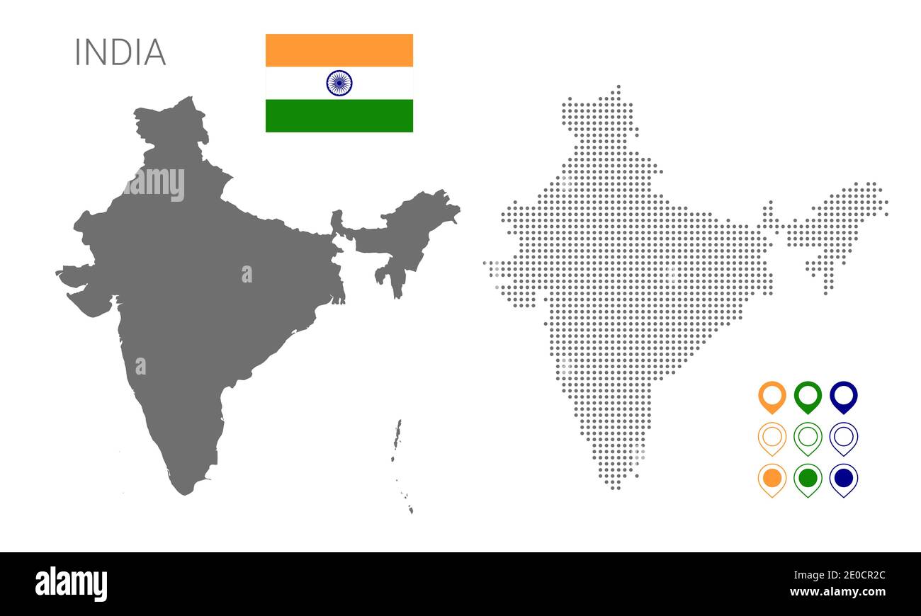 Map of India silhouette, India map dotted, Flag of India. Vector illustration flat Stock Vectorhttps://www.alamy.com/image-license-details/?v=1https://www.alamy.com/map-of-india-silhouette-india-map-dotted-flag-of-india-vector-illustration-flat-image396119988.html
RF2E0CR2C–Map of India silhouette, India map dotted, Flag of India. Vector illustration flat
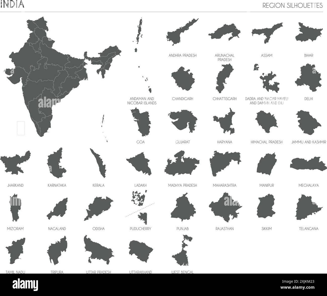 India region silhouettes set and blank map of the country isolated on white background. Vector illustration design Stock Vectorhttps://www.alamy.com/image-license-details/?v=1https://www.alamy.com/india-region-silhouettes-set-and-blank-map-of-the-country-isolated-on-white-background-vector-illustration-design-image613859515.html
RF2XJKM23–India region silhouettes set and blank map of the country isolated on white background. Vector illustration design
 Abstract Dotted Halftone in white background with map of india. Digital dotted technology line, design sphere, dot and structure. vector illustration Stock Vectorhttps://www.alamy.com/image-license-details/?v=1https://www.alamy.com/abstract-dotted-halftone-in-white-background-with-map-of-india-digital-dotted-technology-line-design-sphere-dot-and-structure-vector-illustration-image443099290.html
RF2GMTWJJ–Abstract Dotted Halftone in white background with map of india. Digital dotted technology line, design sphere, dot and structure. vector illustration
 India Map isolated on the blue circle. Stock Vectorhttps://www.alamy.com/image-license-details/?v=1https://www.alamy.com/india-map-isolated-on-the-blue-circle-image574921085.html
RF2TB9WKW–India Map isolated on the blue circle.
RF2XGTR84–Punjab State Map Vector Icon. India Punjab Province State icon. Punjab Map
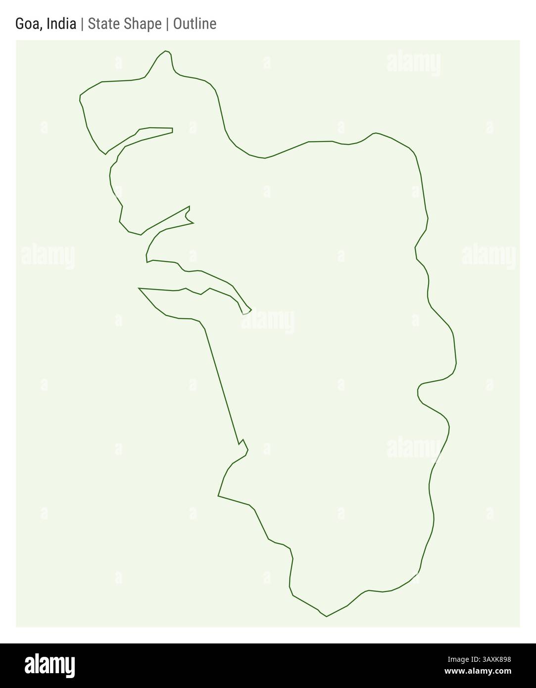 Goa, India. Simple vector map. State shape. Outline style. Border of Goa. Vector illustration. Stock Vectorhttps://www.alamy.com/image-license-details/?v=1https://www.alamy.com/goa-india-simple-vector-map-state-shape-outline-style-border-of-goa-vector-illustration-image670398660.html
RF3AXK898–Goa, India. Simple vector map. State shape. Outline style. Border of Goa. Vector illustration.
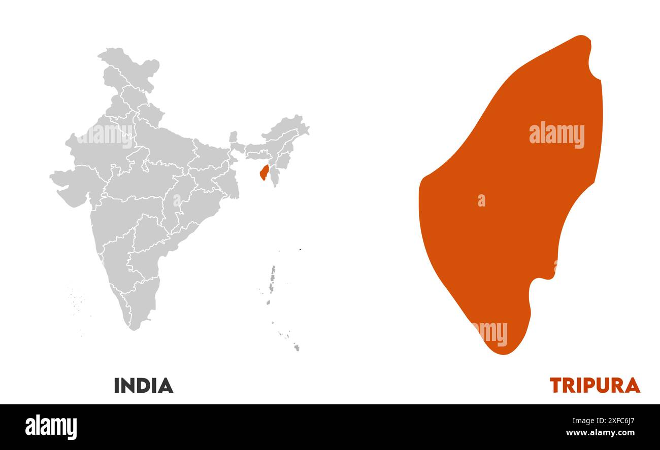 Tripura Map1, State of India, Republic of India, government, Political map, modern map, Indian flag, vector illustration Stock Vectorhttps://www.alamy.com/image-license-details/?v=1https://www.alamy.com/tripura-map1-state-of-india-republic-of-india-government-political-map-modern-map-indian-flag-vector-illustration-image611851359.html
RF2XFC6J7–Tripura Map1, State of India, Republic of India, government, Political map, modern map, Indian flag, vector illustration