Gorno badakhshan autonomous region Stock Photos and Images
(887)See gorno badakhshan autonomous region stock video clipsQuick filters:
Gorno badakhshan autonomous region Stock Photos and Images
 Tajikistan, Gorno-Badakhshan Autonomous Region, pyramid-like remains of a Buddhist stupa overlooking the Piandj River, separating Tajikistan from Afghanistan Stock Photohttps://www.alamy.com/image-license-details/?v=1https://www.alamy.com/tajikistan-gorno-badakhshan-autonomous-region-pyramid-like-remains-of-a-buddhist-stupa-overlooking-the-piandj-river-separating-tajikistan-from-afghanistan-image338946161.html
RM2AKC981–Tajikistan, Gorno-Badakhshan Autonomous Region, pyramid-like remains of a Buddhist stupa overlooking the Piandj River, separating Tajikistan from Afghanistan
 Shore of Lake Karakul, Gorno-Badakhshan Autonomous Region, Tajikistan Stock Photohttps://www.alamy.com/image-license-details/?v=1https://www.alamy.com/stock-photo-shore-of-lake-karakul-gorno-badakhshan-autonomous-region-tajikistan-77226777.html
RFEDHYF5–Shore of Lake Karakul, Gorno-Badakhshan Autonomous Region, Tajikistan
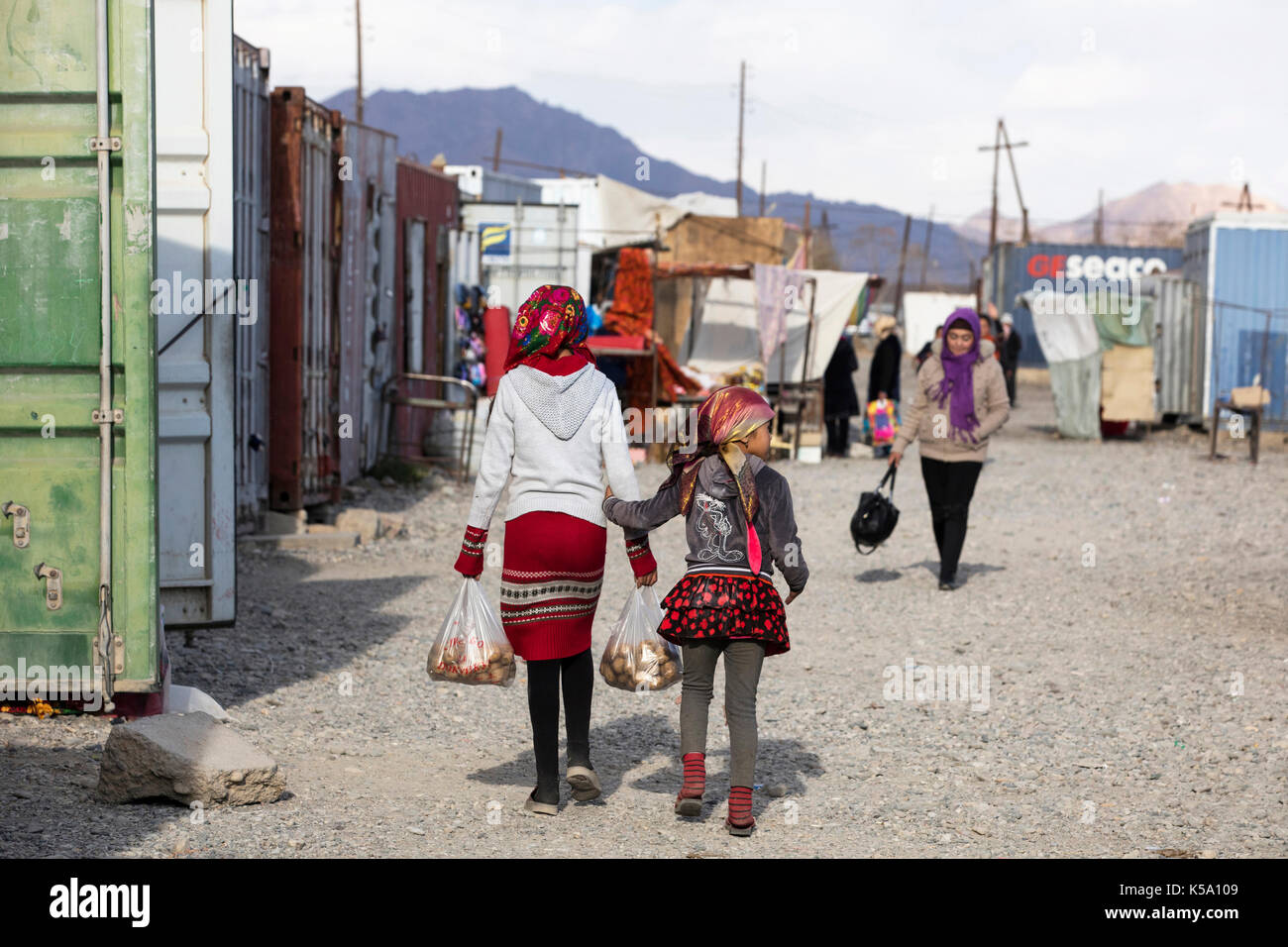 Murghab bazaar with stalls inside containers in the Murghob District of Gorno-Badakhshan Autonomous Region, Tajikistan Stock Photohttps://www.alamy.com/image-license-details/?v=1https://www.alamy.com/murghab-bazaar-with-stalls-inside-containers-in-the-murghob-district-image158186905.html
RMK5A109–Murghab bazaar with stalls inside containers in the Murghob District of Gorno-Badakhshan Autonomous Region, Tajikistan
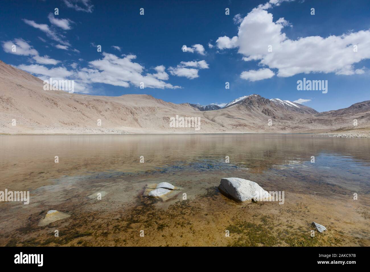 Tajikistan, Gorno-Badakhshan Autonomous Region, Chukurkul Lake, clear water and arid mountains in the background, altitude 3950m Stock Photohttps://www.alamy.com/image-license-details/?v=1https://www.alamy.com/tajikistan-gorno-badakhshan-autonomous-region-chukurkul-lake-clear-water-and-arid-mountains-in-the-background-altitude-3950m-image338946143.html
RM2AKC97B–Tajikistan, Gorno-Badakhshan Autonomous Region, Chukurkul Lake, clear water and arid mountains in the background, altitude 3950m
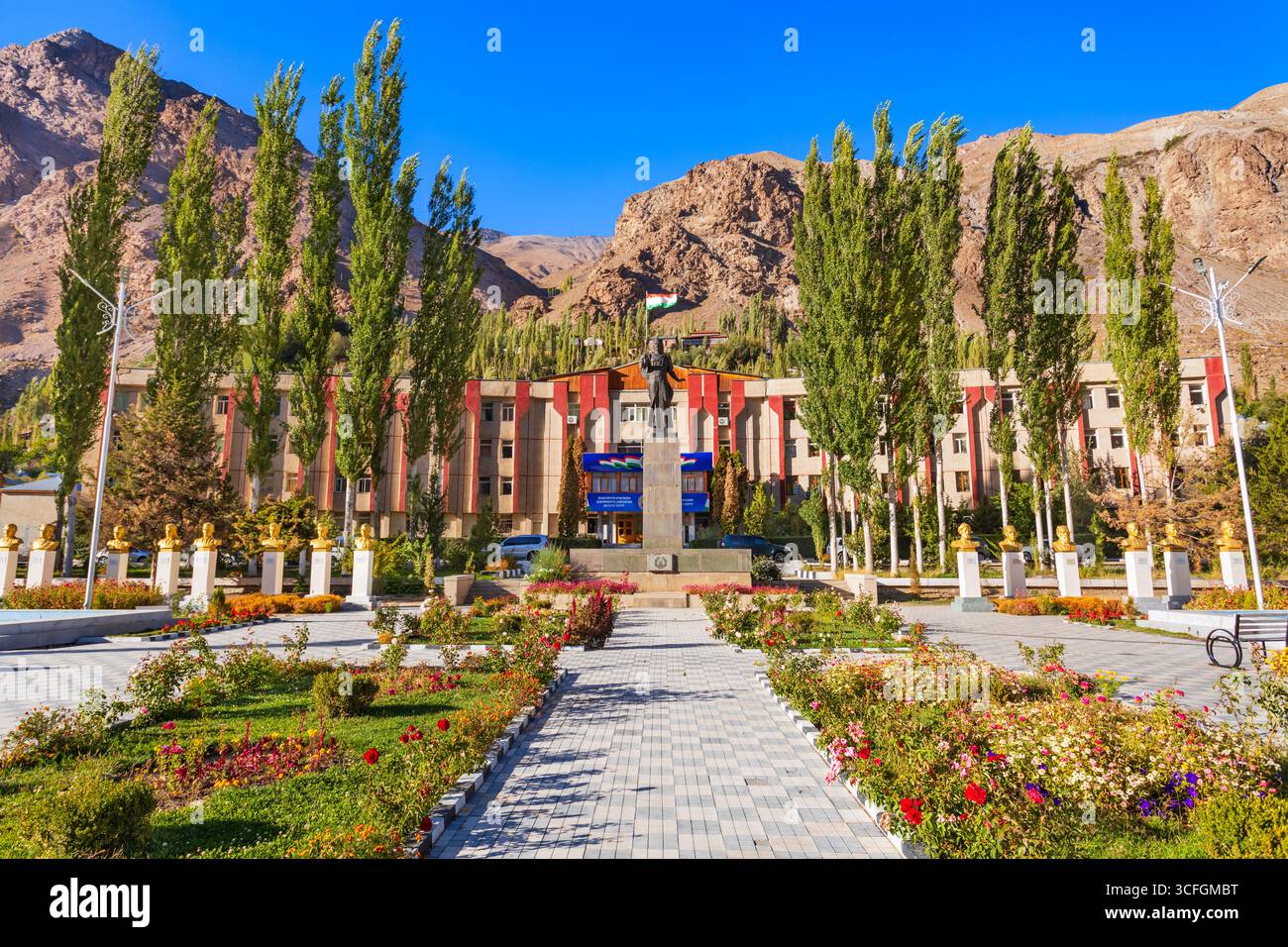 Khorog, Tajikistan - October 04, 2022: GBAO Gorno-Badakhshan Autonomous Region Government Building and Ismail Samoni statue in Khorog city, Tajikistan Stock Photohttps://www.alamy.com/image-license-details/?v=1https://www.alamy.com/khorog-tajikistan-october-04-2022-gbao-gorno-badakhshan-autonomous-region-government-building-and-ismail-samoni-statue-in-khorog-city-tajikistan-image698001804.html
RF3CFGMBT–Khorog, Tajikistan - October 04, 2022: GBAO Gorno-Badakhshan Autonomous Region Government Building and Ismail Samoni statue in Khorog city, Tajikistan
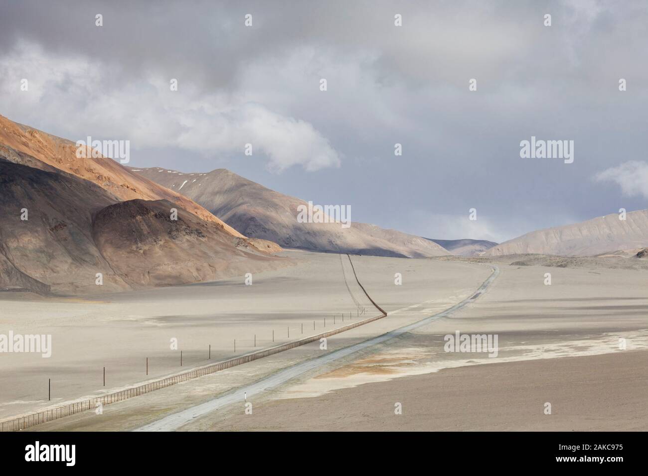 Tajikistan, Gorno-Badakhshan Autonomous Region, Pamir Highway, road following the security zone near the Chinese border, altitude 4000m Stock Photohttps://www.alamy.com/image-license-details/?v=1https://www.alamy.com/tajikistan-gorno-badakhshan-autonomous-region-pamir-highway-road-following-the-security-zone-near-the-chinese-border-altitude-4000m-image338946137.html
RM2AKC975–Tajikistan, Gorno-Badakhshan Autonomous Region, Pamir Highway, road following the security zone near the Chinese border, altitude 4000m
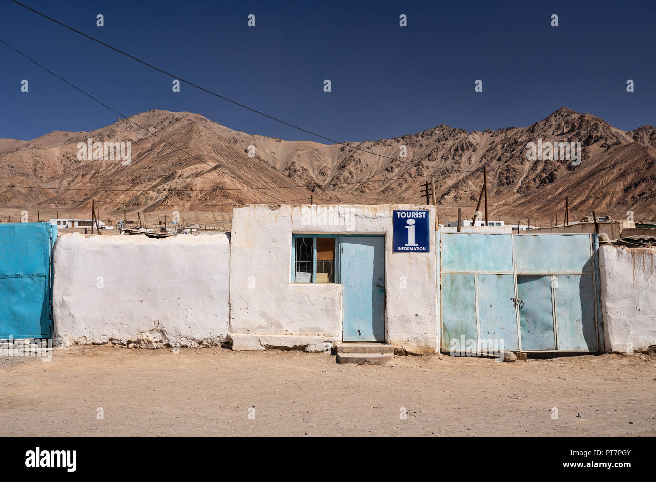 The tourist information office in Murghab, the Pamir Mountains, Gorno-Badakhshan Autonomous Region, Tajikistan. Stock Photohttps://www.alamy.com/image-license-details/?v=1https://www.alamy.com/the-tourist-information-office-in-murghab-the-pamir-mountains-gorno-badakhshan-autonomous-region-tajikistan-image221447547.html
RFPT7PGY–The tourist information office in Murghab, the Pamir Mountains, Gorno-Badakhshan Autonomous Region, Tajikistan.
 Tajikistan, Gorno-Badakhshan Autonomous Region, Langar Valley, where the Wakhan River from Afghanistan meets the Pamir River to form the Piandj River Stock Photohttps://www.alamy.com/image-license-details/?v=1https://www.alamy.com/tajikistan-gorno-badakhshan-autonomous-region-langar-valley-where-the-wakhan-river-from-afghanistan-meets-the-pamir-river-to-form-the-piandj-river-image338946150.html
RM2AKC97J–Tajikistan, Gorno-Badakhshan Autonomous Region, Langar Valley, where the Wakhan River from Afghanistan meets the Pamir River to form the Piandj River
 Beautiful Yashilkul Lake, Bulunkul, Pamir Mountains, Gorno Badakhshan Autonomous Region, Tajikistan Stock Photohttps://www.alamy.com/image-license-details/?v=1https://www.alamy.com/beautiful-yashilkul-lake-bulunkul-pamir-mountains-gorno-badakhshan-autonomous-region-tajikistan-image222793763.html
RFPXD3M3–Beautiful Yashilkul Lake, Bulunkul, Pamir Mountains, Gorno Badakhshan Autonomous Region, Tajikistan
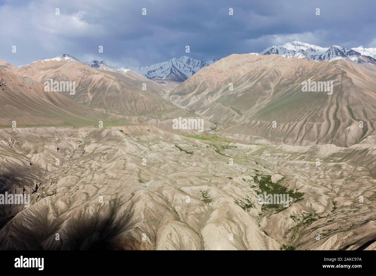 Tajikistan, Gorno-Badakhshan Autonomous Region, view of the Pamir mountains on the Afghan side of the border, seen from the Tajik side, altitude 3500m Stock Photohttps://www.alamy.com/image-license-details/?v=1https://www.alamy.com/tajikistan-gorno-badakhshan-autonomous-region-view-of-the-pamir-mountains-on-the-afghan-side-of-the-border-seen-from-the-tajik-side-altitude-3500m-image338946142.html
RM2AKC97A–Tajikistan, Gorno-Badakhshan Autonomous Region, view of the Pamir mountains on the Afghan side of the border, seen from the Tajik side, altitude 3500m
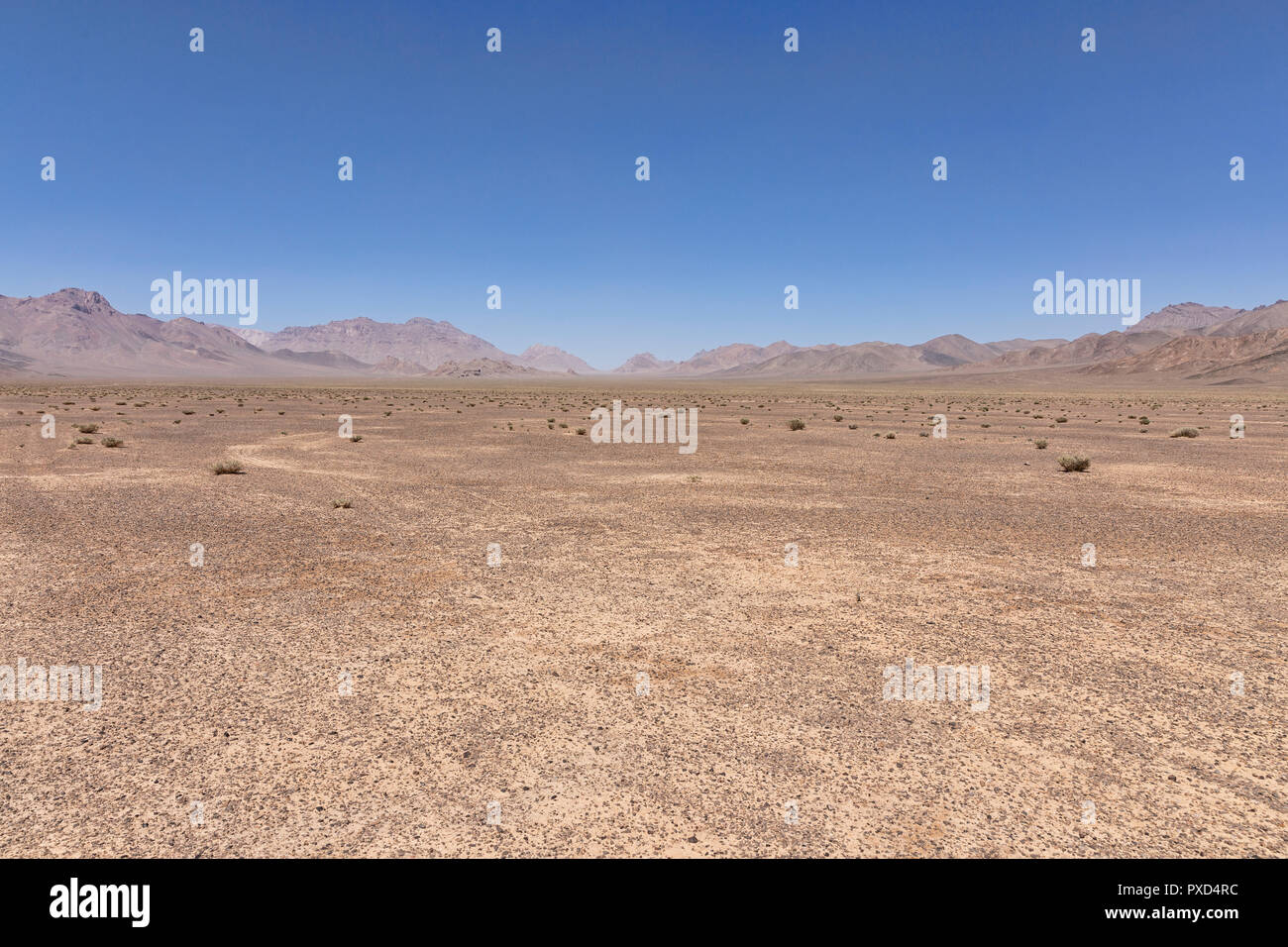 Remote valley east of Murghab, Murghab District, Pamir Mountains, Gorno Badakhshan Autonomous Region, Tajikistan Stock Photohttps://www.alamy.com/image-license-details/?v=1https://www.alamy.com/remote-valley-east-of-murghab-murghab-district-pamir-mountains-gorno-badakhshan-autonomous-region-tajikistan-image222794640.html
RFPXD4RC–Remote valley east of Murghab, Murghab District, Pamir Mountains, Gorno Badakhshan Autonomous Region, Tajikistan
 Gorno-Badakhshan autonomous region watercolor map of Tajikistan Stock Photohttps://www.alamy.com/image-license-details/?v=1https://www.alamy.com/gorno-badakhshan-autonomous-region-watercolor-map-of-tajikistan-image343589847.html
RF2AXYT9Y–Gorno-Badakhshan autonomous region watercolor map of Tajikistan
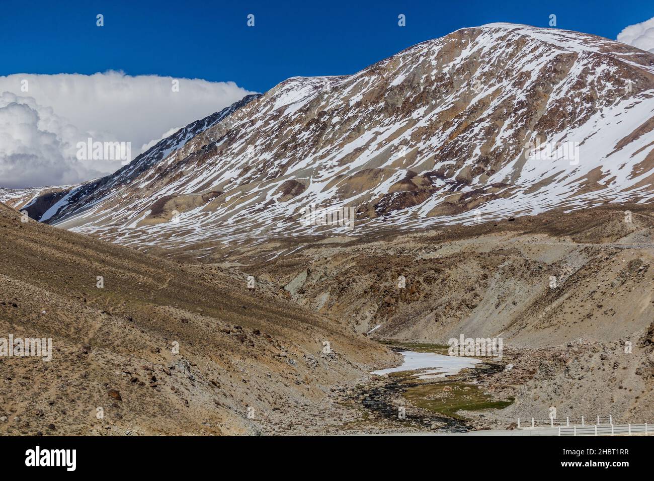 Pamir mountains in Gorno-Badakhshan Autonomous Region, Tajikistan Stock Photohttps://www.alamy.com/image-license-details/?v=1https://www.alamy.com/pamir-mountains-in-gorno-badakhshan-autonomous-region-tajikistan-image454759083.html
RF2HBT1RR–Pamir mountains in Gorno-Badakhshan Autonomous Region, Tajikistan
 Village along the Pamir Highway. Tajikistan. Stock Photohttps://www.alamy.com/image-license-details/?v=1https://www.alamy.com/village-along-the-pamir-highway-tajikistan-image366158996.html
RF2C7KYF0–Village along the Pamir Highway. Tajikistan.
 Pamir Highway in Gorno-Badakhshan Autonomous Region, Tajikistan Stock Photohttps://www.alamy.com/image-license-details/?v=1https://www.alamy.com/pamir-highway-in-gorno-badakhshan-autonomous-region-tajikistan-image454761883.html
RF2HBT5BR–Pamir Highway in Gorno-Badakhshan Autonomous Region, Tajikistan
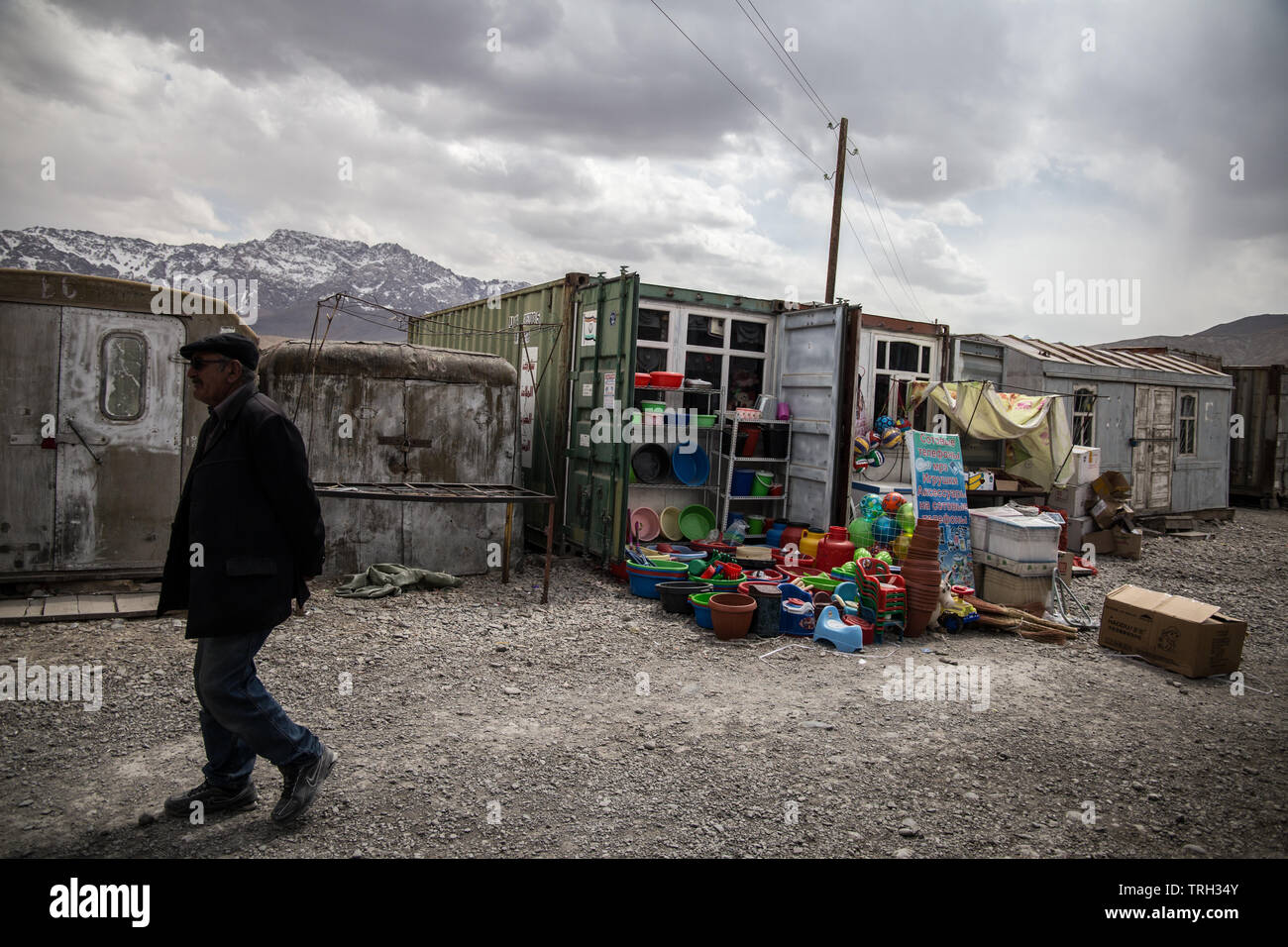 A local man passes by a stand selling plastic vessels in the Murghab container market, in Gorno-Badakhshan Autonomous Region, Tajikistan. Stock Photohttps://www.alamy.com/image-license-details/?v=1https://www.alamy.com/a-local-man-passes-by-a-stand-selling-plastic-vessels-in-the-murghab-container-market-in-gorno-badakhshan-autonomous-region-tajikistan-image255457915.html
RFTRH34Y–A local man passes by a stand selling plastic vessels in the Murghab container market, in Gorno-Badakhshan Autonomous Region, Tajikistan.
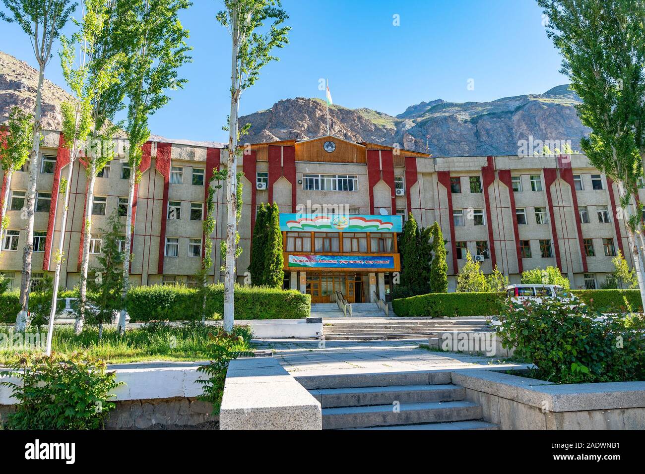 Khorugh GBAO Gorno-Badakhshan Autonomous Region Government Building View on a Sunny Blue Sky Day Stock Photohttps://www.alamy.com/image-license-details/?v=1https://www.alamy.com/khorugh-gbao-gorno-badakhshan-autonomous-region-government-building-view-on-a-sunny-blue-sky-day-image335553093.html
RF2ADWNB1–Khorugh GBAO Gorno-Badakhshan Autonomous Region Government Building View on a Sunny Blue Sky Day
 Pyanj river in Wakhan Corridor, Tajikistan, Stock Photohttps://www.alamy.com/image-license-details/?v=1https://www.alamy.com/pyanj-river-in-wakhan-corridor-tajikistan-image367089505.html
RF2C96ABD–Pyanj river in Wakhan Corridor, Tajikistan,
 Camels near Silk Road in Murghob District, Tajikistan Stock Photohttps://www.alamy.com/image-license-details/?v=1https://www.alamy.com/camels-near-silk-road-in-murghob-district-tajikistan-image388147944.html
RF2DFDJJG–Camels near Silk Road in Murghob District, Tajikistan
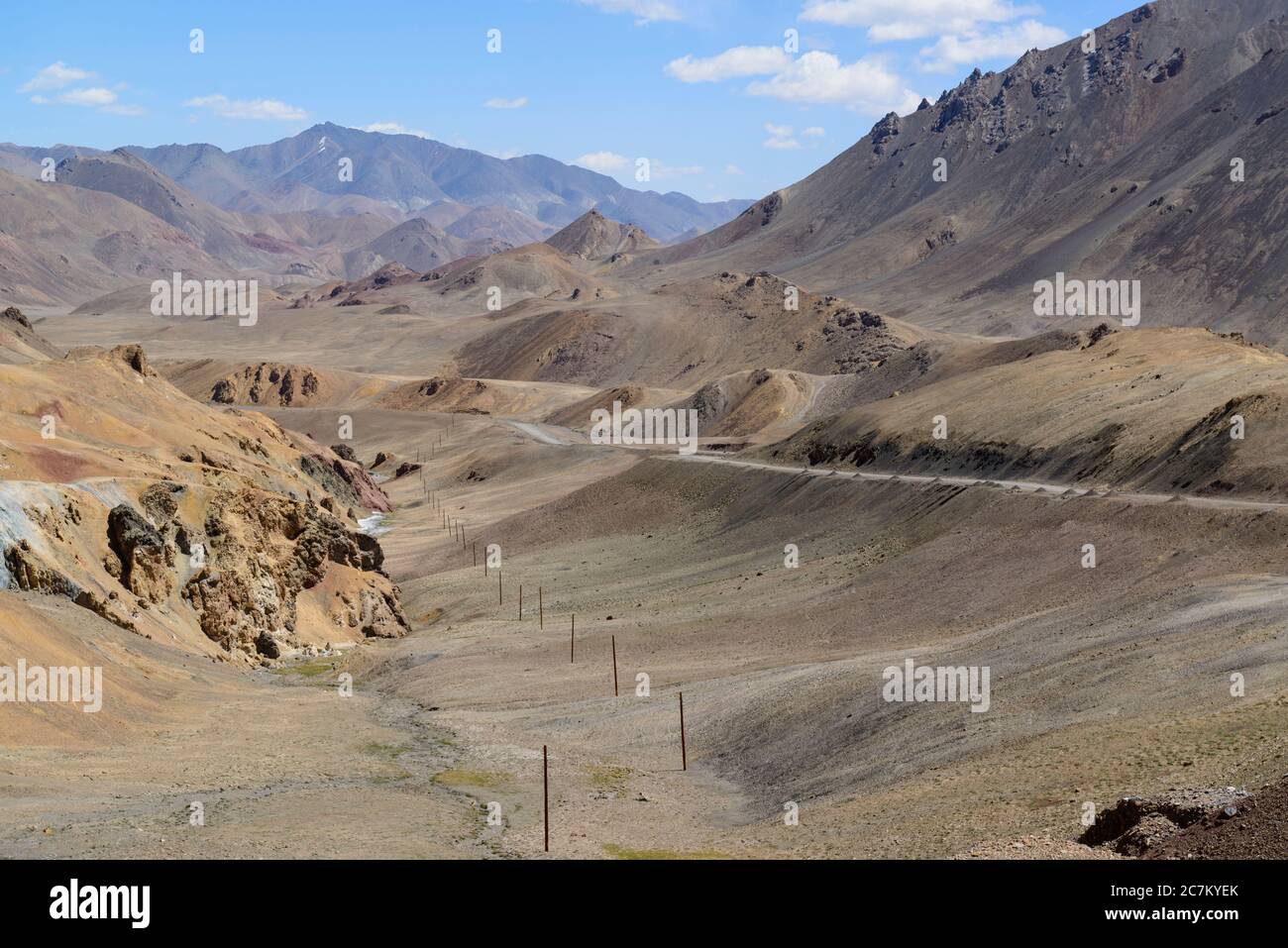 Pamir Highway. Tajikistan. Stock Photohttps://www.alamy.com/image-license-details/?v=1https://www.alamy.com/pamir-highway-tajikistan-image366158987.html
RF2C7KYEK–Pamir Highway. Tajikistan.
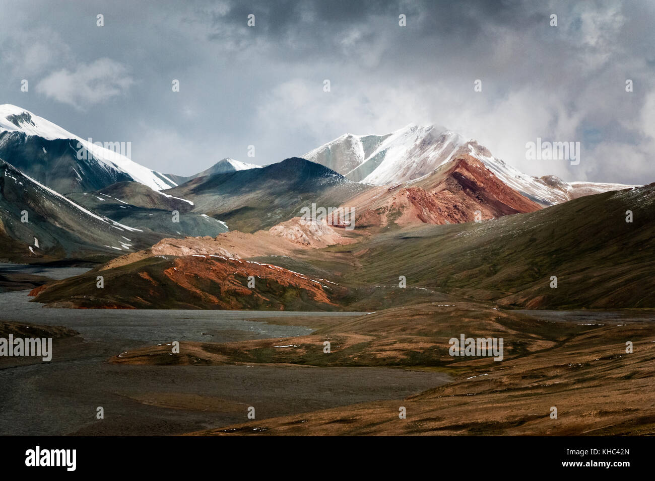 Colored moutains covered by snow, Kyzylart Pass, Tajikistan Stock Photohttps://www.alamy.com/image-license-details/?v=1https://www.alamy.com/stock-image-colored-moutains-covered-by-snow-kyzylart-pass-tajikistan-165609101.html
RMKHC42N–Colored moutains covered by snow, Kyzylart Pass, Tajikistan
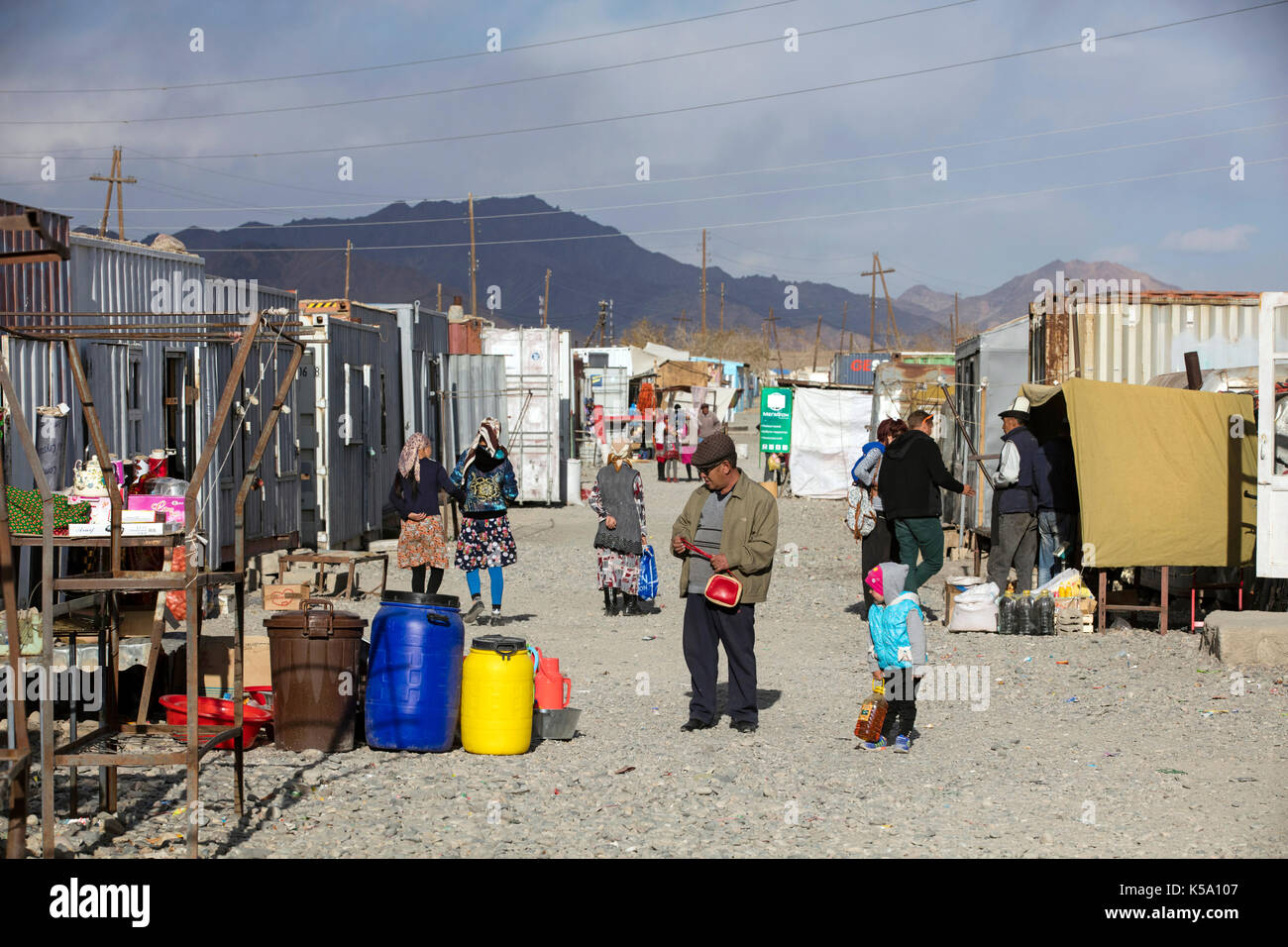 Murghab bazaar with stalls inside containers in the Murghob District of Gorno-Badakhshan Autonomous Region, Tajikistan Stock Photohttps://www.alamy.com/image-license-details/?v=1https://www.alamy.com/murghab-bazaar-with-stalls-inside-containers-in-the-murghob-district-image158186903.html
RMK5A107–Murghab bazaar with stalls inside containers in the Murghob District of Gorno-Badakhshan Autonomous Region, Tajikistan
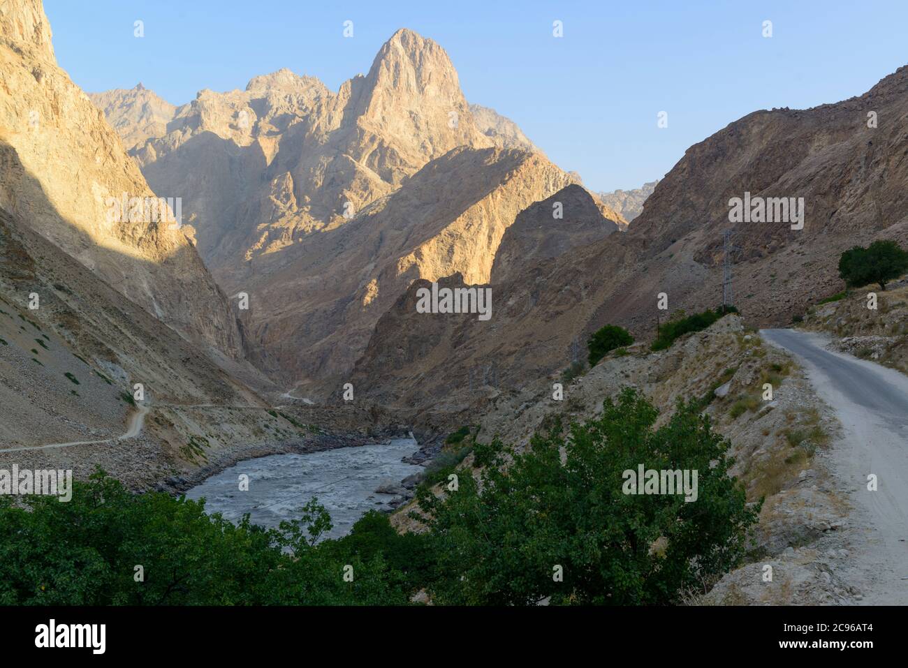 The road in the Wakhan Corridor, Tajikistan, Afghanistan on the right side. Stock Photohttps://www.alamy.com/image-license-details/?v=1https://www.alamy.com/the-road-in-the-wakhan-corridor-tajikistan-afghanistan-on-the-right-side-image367089860.html
RF2C96AT4–The road in the Wakhan Corridor, Tajikistan, Afghanistan on the right side.
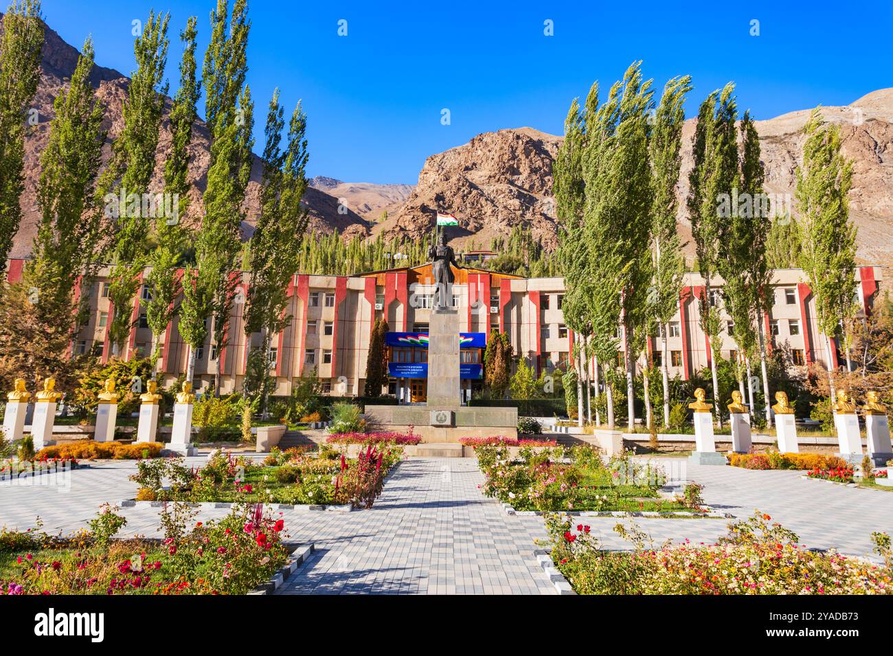 Khorog, Tajikistan - October 04, 2022: GBAO Gorno-Badakhshan Autonomous Region Government Building and Ismail Samoni statue in Khorog city, Tajikistan Stock Photohttps://www.alamy.com/image-license-details/?v=1https://www.alamy.com/khorog-tajikistan-october-04-2022-gbao-gorno-badakhshan-autonomous-region-government-building-and-ismail-samoni-statue-in-khorog-city-tajikistan-image626014007.html
RF2YADB73–Khorog, Tajikistan - October 04, 2022: GBAO Gorno-Badakhshan Autonomous Region Government Building and Ismail Samoni statue in Khorog city, Tajikistan
 Pyanj river at Langar village. Wakhan Corridor, Tajikistan, Stock Photohttps://www.alamy.com/image-license-details/?v=1https://www.alamy.com/pyanj-river-at-langar-village-wakhan-corridor-tajikistan-image367089394.html
RF2C96A7E–Pyanj river at Langar village. Wakhan Corridor, Tajikistan,
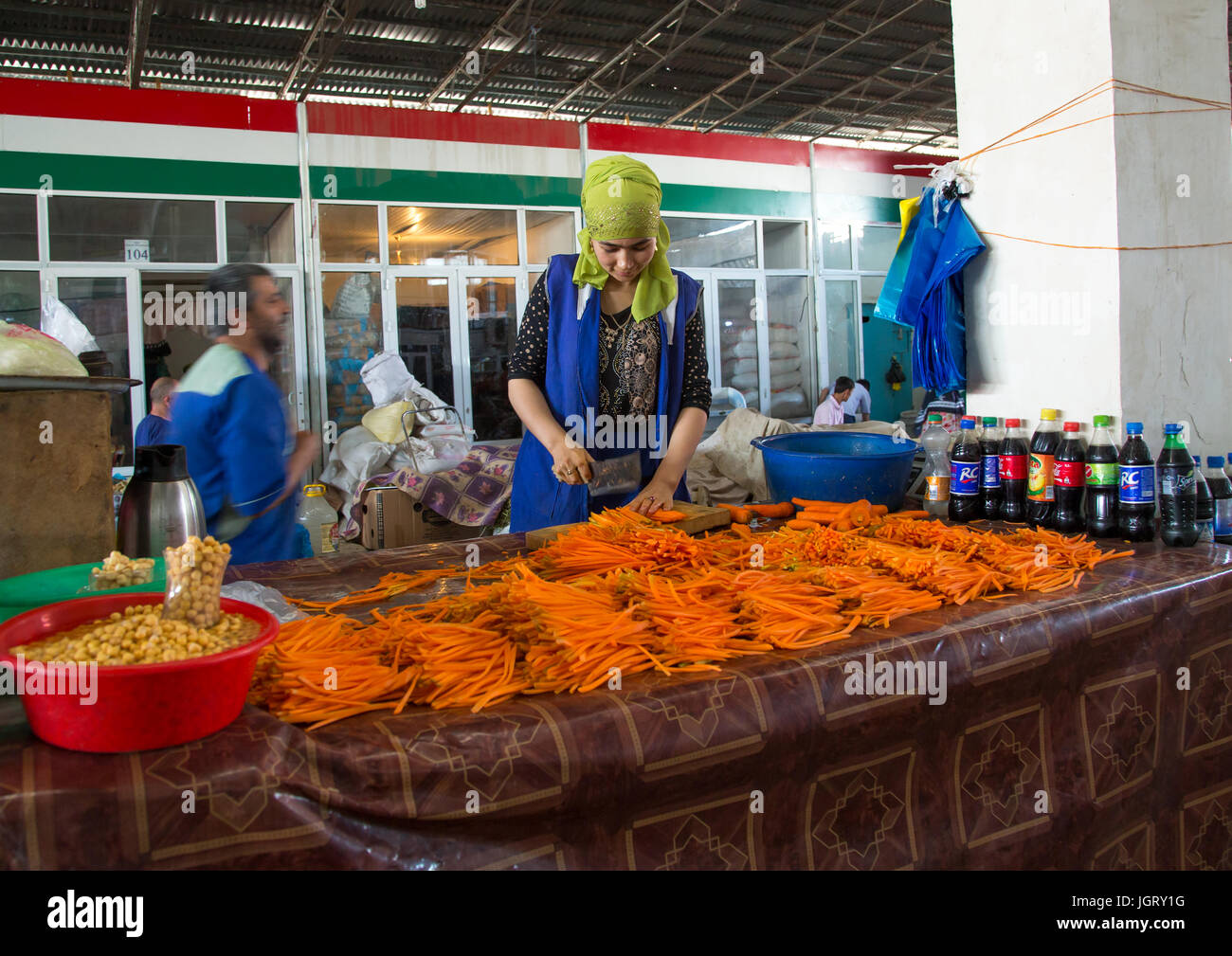 Carrots for sale at local street market, Gorno-Badakhshan autonomous region, Khorog, Tajikistan Stock Photohttps://www.alamy.com/image-license-details/?v=1https://www.alamy.com/stock-photo-carrots-for-sale-at-local-street-market-gorno-badakhshan-autonomous-148043548.html
RMJGRY1G–Carrots for sale at local street market, Gorno-Badakhshan autonomous region, Khorog, Tajikistan
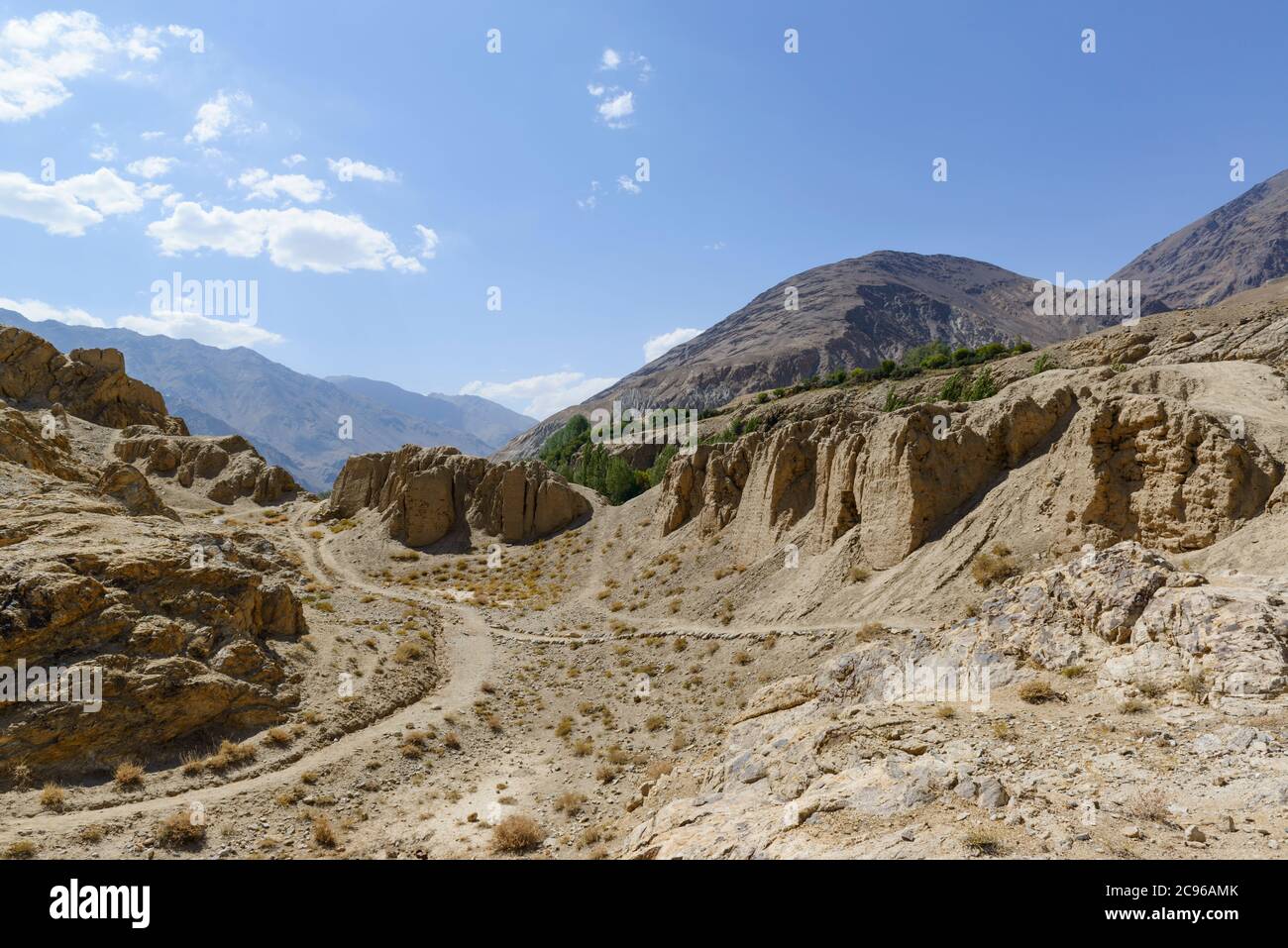 Khakaha fortress in the Wakhan Corridor, Tajikistan, Stock Photohttps://www.alamy.com/image-license-details/?v=1https://www.alamy.com/khakaha-fortress-in-the-wakhan-corridor-tajikistan-image367089763.html
RF2C96AMK–Khakaha fortress in the Wakhan Corridor, Tajikistan,
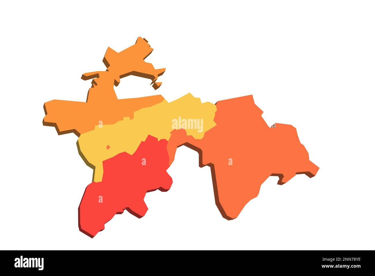 Tajikistan political map of administrative divisions - regions, autonomous region of Gorno-Badakhshan, districts of Republican Subordination and capital city of Dushanbe. Map with labels. Stock Vectorhttps://www.alamy.com/image-license-details/?v=1https://www.alamy.com/tajikistan-political-map-of-administrative-divisions-regions-autonomous-region-of-gorno-badakhshan-districts-of-republican-subordination-and-capital-city-of-dushanbe-map-with-labels-image529379522.html
RF2NN78YE–Tajikistan political map of administrative divisions - regions, autonomous region of Gorno-Badakhshan, districts of Republican Subordination and capital city of Dushanbe. Map with labels.
 Tajikistan, Gorno-Badakhshan Autonomous Region, panoramic view of the Pamir mountains on the Afghan side of the border, seen from the Tajik side, altitude 3500m Stock Photohttps://www.alamy.com/image-license-details/?v=1https://www.alamy.com/tajikistan-gorno-badakhshan-autonomous-region-panoramic-view-of-the-pamir-mountains-on-the-afghan-side-of-the-border-seen-from-the-tajik-side-altitude-3500m-image338946147.html
RM2AKC97F–Tajikistan, Gorno-Badakhshan Autonomous Region, panoramic view of the Pamir mountains on the Afghan side of the border, seen from the Tajik side, altitude 3500m
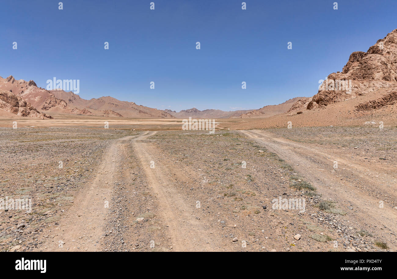 Remote valleys east of Murghab, Murghab District, Pamir Mountains, Gorno Badakhshan Autonomous Region, Tajikistan Stock Photohttps://www.alamy.com/image-license-details/?v=1https://www.alamy.com/remote-valleys-east-of-murghab-murghab-district-pamir-mountains-gorno-badakhshan-autonomous-region-tajikistan-image222794683.html
RFPXD4TY–Remote valleys east of Murghab, Murghab District, Pamir Mountains, Gorno Badakhshan Autonomous Region, Tajikistan
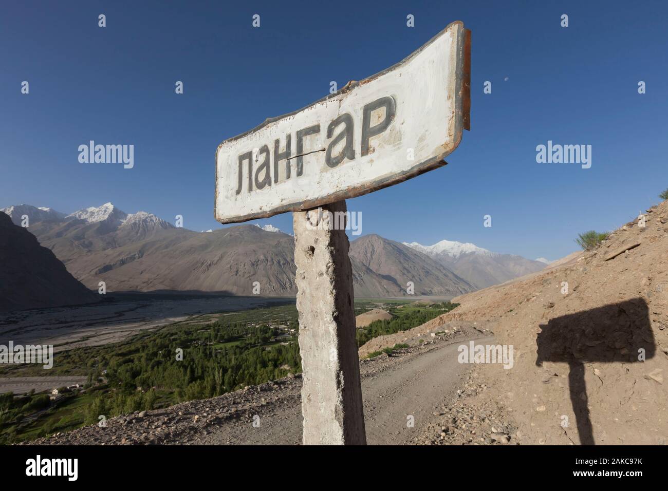 Tajikistan, Gorno-Badakhshan Autonomous Region, Cyrillic sign indicating the entrance to the village of Langar, where the Wakhan River from Afghanistan and the Pamir River meet to form the Piandj River Stock Photohttps://www.alamy.com/image-license-details/?v=1https://www.alamy.com/tajikistan-gorno-badakhshan-autonomous-region-cyrillic-sign-indicating-the-entrance-to-the-village-of-langar-where-the-wakhan-river-from-afghanistan-and-the-pamir-river-meet-to-form-the-piandj-river-image338946151.html
RM2AKC97K–Tajikistan, Gorno-Badakhshan Autonomous Region, Cyrillic sign indicating the entrance to the village of Langar, where the Wakhan River from Afghanistan and the Pamir River meet to form the Piandj River
 Centered image of a remote section of the Pamir Highway, Gorno-Badakhshan Autonomous Region, Tajikistan. Stock Photohttps://www.alamy.com/image-license-details/?v=1https://www.alamy.com/centered-image-of-a-remote-section-of-the-pamir-highway-gorno-badakhshan-autonomous-region-tajikistan-image221268818.html
RFPRYJHP–Centered image of a remote section of the Pamir Highway, Gorno-Badakhshan Autonomous Region, Tajikistan.
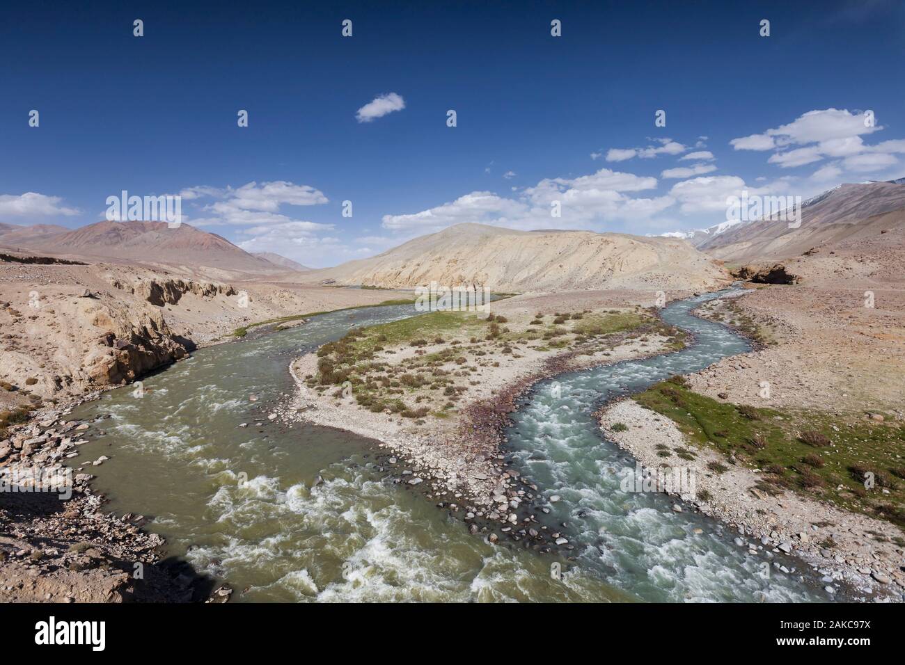 Tajikistan, Gorno-Badakhshan Autonomous Region, Pamir Highway, arid mountains and Pamir River separating Tajikistan from Afghanistan, seen from the Tajik side, altitude 3600m Stock Photohttps://www.alamy.com/image-license-details/?v=1https://www.alamy.com/tajikistan-gorno-badakhshan-autonomous-region-pamir-highway-arid-mountains-and-pamir-river-separating-tajikistan-from-afghanistan-seen-from-the-tajik-side-altitude-3600m-image338946158.html
RM2AKC97X–Tajikistan, Gorno-Badakhshan Autonomous Region, Pamir Highway, arid mountains and Pamir River separating Tajikistan from Afghanistan, seen from the Tajik side, altitude 3600m
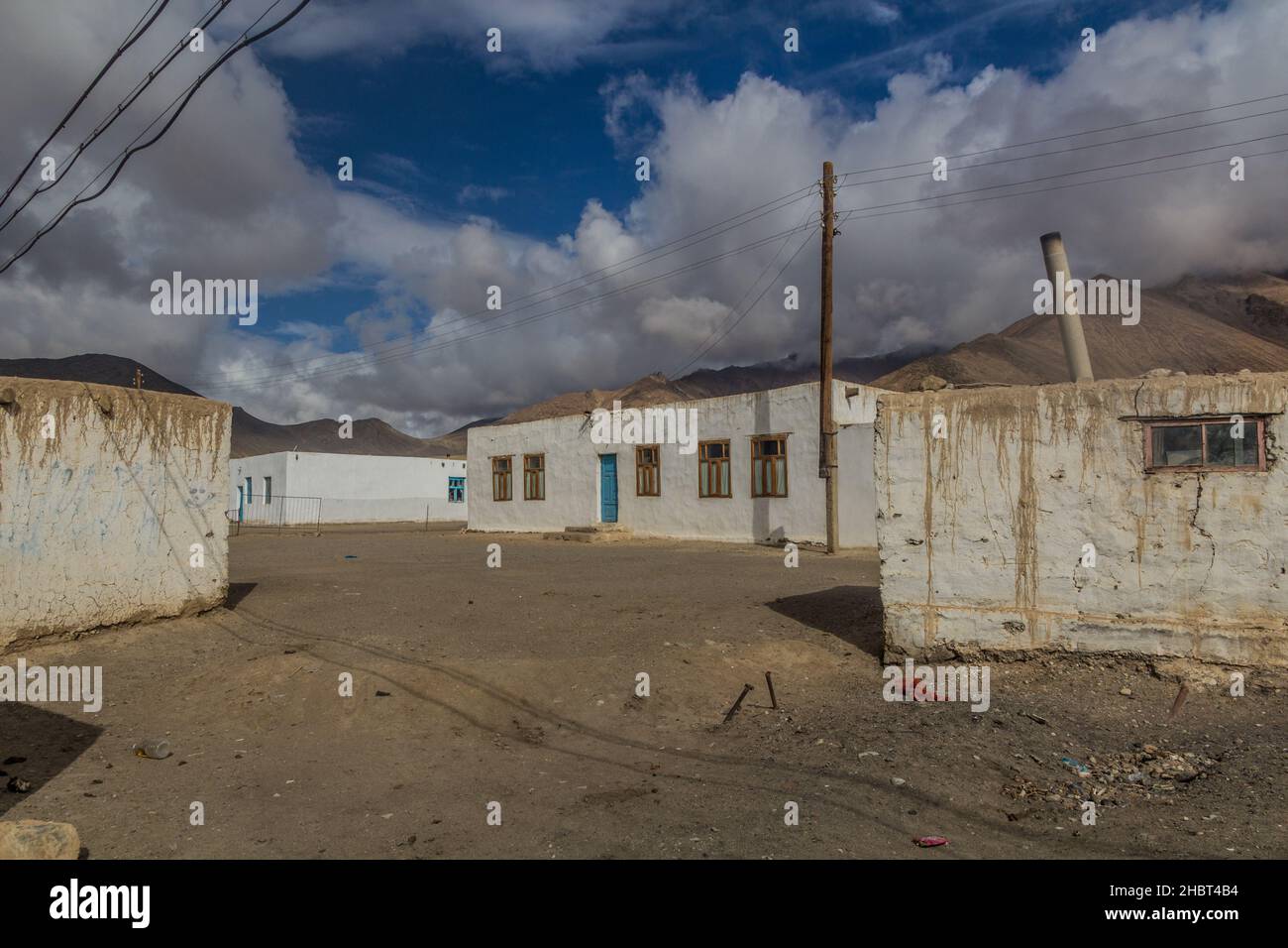 Murghab village in Gorno-Badakhshan Autonomous Region, Tajikistan Stock Photohttps://www.alamy.com/image-license-details/?v=1https://www.alamy.com/murghab-village-in-gorno-badakhshan-autonomous-region-tajikistan-image454761080.html
RF2HBT4B4–Murghab village in Gorno-Badakhshan Autonomous Region, Tajikistan
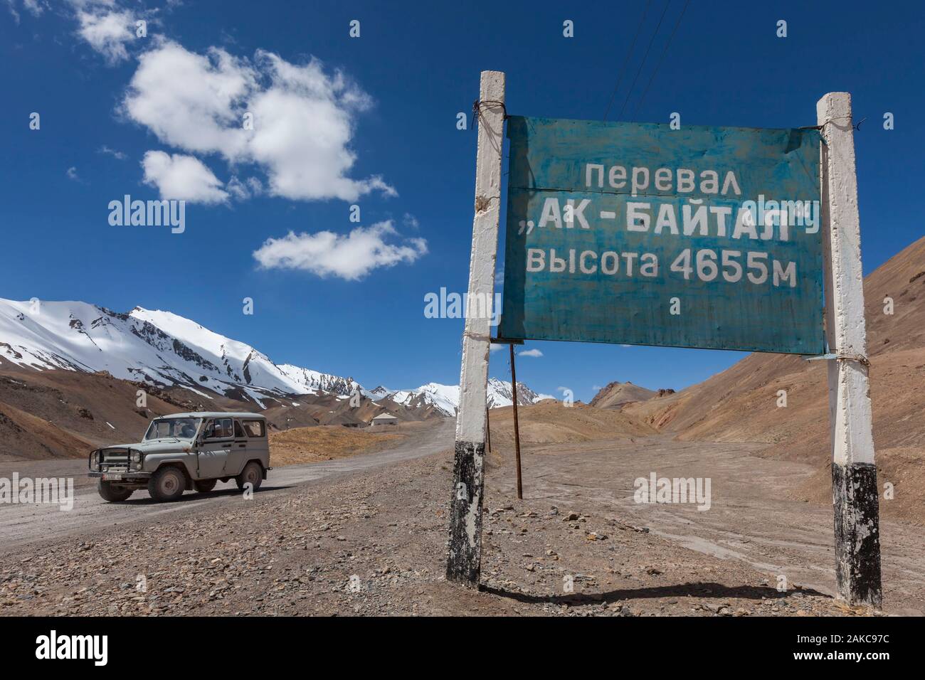 Tajikistan, Gorno-Badakhshan Autonomous Region, Ak-Baital Pass, altitude 4655m, Pamir Highway, Tajik National Park and Pamir Mountains, UNESCO World Heritage Site, track, jeep and Cyrillic sign announcing the altitude of the pass Stock Photohttps://www.alamy.com/image-license-details/?v=1https://www.alamy.com/tajikistan-gorno-badakhshan-autonomous-region-ak-baital-pass-altitude-4655m-pamir-highway-tajik-national-park-and-pamir-mountains-unesco-world-heritage-site-track-jeep-and-cyrillic-sign-announcing-the-altitude-of-the-pass-image338946144.html
RM2AKC97C–Tajikistan, Gorno-Badakhshan Autonomous Region, Ak-Baital Pass, altitude 4655m, Pamir Highway, Tajik National Park and Pamir Mountains, UNESCO World Heritage Site, track, jeep and Cyrillic sign announcing the altitude of the pass
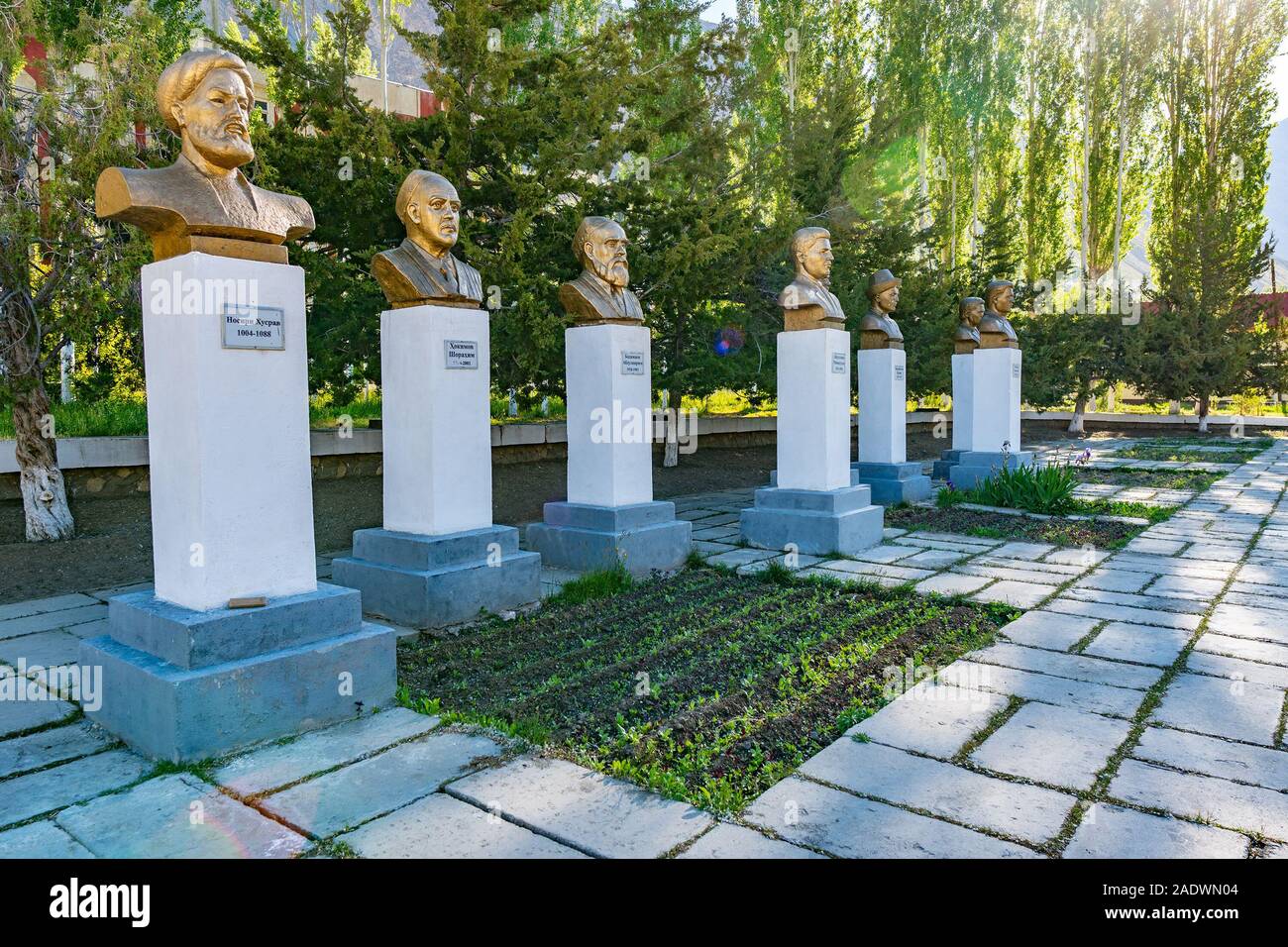 Khorugh GBAO Gorno-Badakhshan Autonomous Region Government Building View of Several Busts on a Sunny Blue Sky Day Stock Photohttps://www.alamy.com/image-license-details/?v=1https://www.alamy.com/khorugh-gbao-gorno-badakhshan-autonomous-region-government-building-view-of-several-busts-on-a-sunny-blue-sky-day-image335552788.html
RF2ADWN04–Khorugh GBAO Gorno-Badakhshan Autonomous Region Government Building View of Several Busts on a Sunny Blue Sky Day
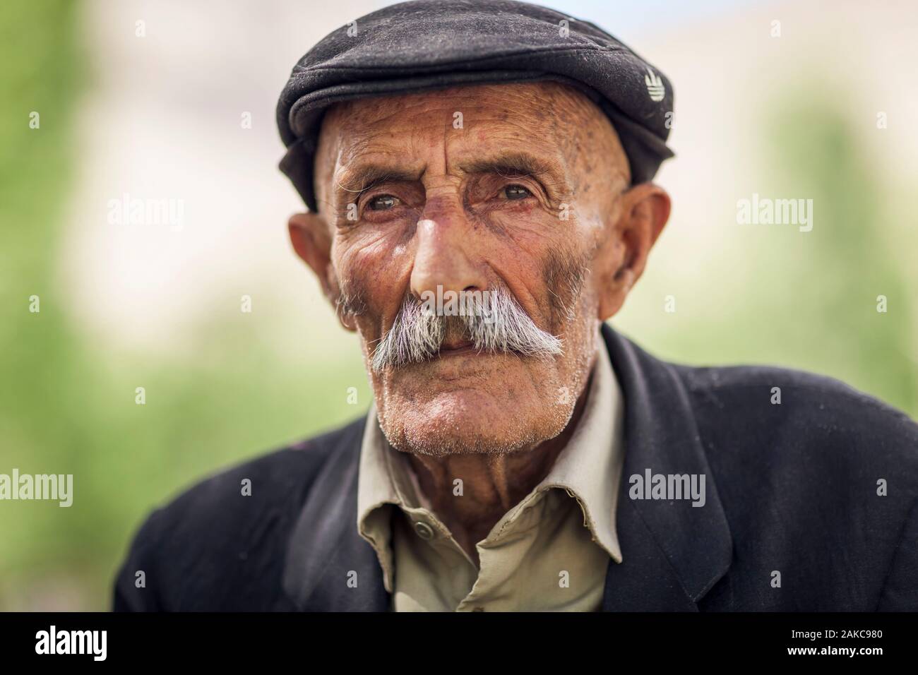 Tajikistan, Gorno-Badakhshan Autonomous Region, Vrang, portrait of an elderly Tajik man Stock Photohttps://www.alamy.com/image-license-details/?v=1https://www.alamy.com/tajikistan-gorno-badakhshan-autonomous-region-vrang-portrait-of-an-elderly-tajik-man-image338946160.html
RM2AKC980–Tajikistan, Gorno-Badakhshan Autonomous Region, Vrang, portrait of an elderly Tajik man
 Camels near Silk Road in Murghob District, Tajikistan Stock Photohttps://www.alamy.com/image-license-details/?v=1https://www.alamy.com/camels-near-silk-road-in-murghob-district-tajikistan-image388147981.html
RF2DFDJKW–Camels near Silk Road in Murghob District, Tajikistan
 Gorno-Badakhshan Autonomous Region (Republic of Tajikistan, Regions of Tajikistan) map vector illustration, scribble sketch Kuhistani Badakhshan Auton Stock Vectorhttps://www.alamy.com/image-license-details/?v=1https://www.alamy.com/gorno-badakhshan-autonomous-region-republic-of-tajikistan-regions-of-tajikistan-map-vector-illustration-scribble-sketch-kuhistani-badakhshan-auton-image328686893.html
RF2A2MYDH–Gorno-Badakhshan Autonomous Region (Republic of Tajikistan, Regions of Tajikistan) map vector illustration, scribble sketch Kuhistani Badakhshan Auton
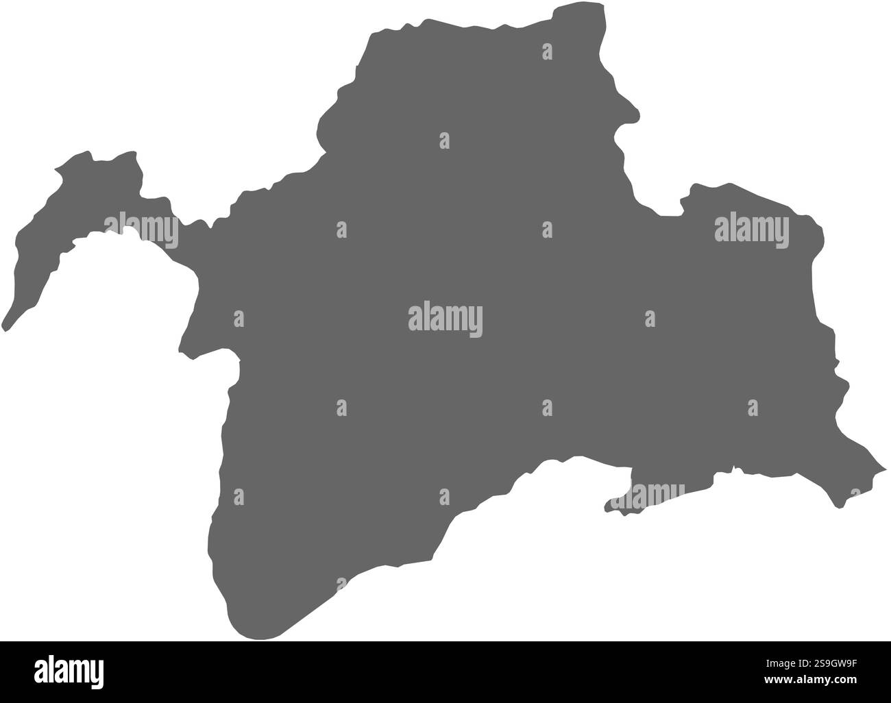 Map of Gorno-Badakhshan, a province of Tajikistan. Stock Vectorhttps://www.alamy.com/image-license-details/?v=1https://www.alamy.com/map-of-gorno-badakhshan-a-province-of-tajikistan-image642686619.html
RF2S9GW9F–Map of Gorno-Badakhshan, a province of Tajikistan.
 Murghab River valley in the Murghob District in the Pamir Mountains of Gorno-Badakhshan Autonomous Region, Tajikistan Stock Photohttps://www.alamy.com/image-license-details/?v=1https://www.alamy.com/murghab-river-valley-in-the-murghob-district-in-the-pamir-mountains-image158186902.html
RMK5A106–Murghab River valley in the Murghob District in the Pamir Mountains of Gorno-Badakhshan Autonomous Region, Tajikistan
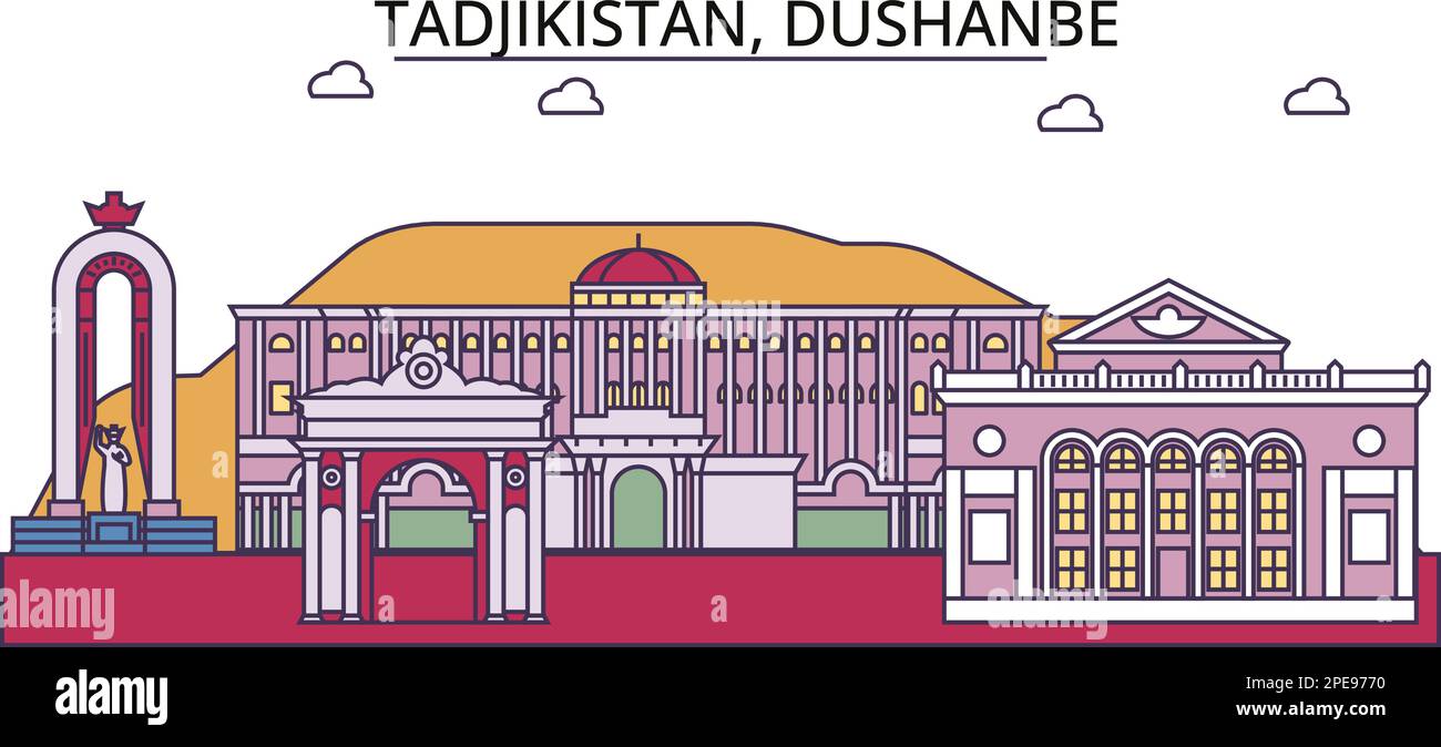 Tadjikistan, Dushanbe tourism landmarks, vector city travel illustration Stock Vectorhttps://www.alamy.com/image-license-details/?v=1https://www.alamy.com/tadjikistan-dushanbe-tourism-landmarks-vector-city-travel-illustration-image542329844.html
RF2PE9770–Tadjikistan, Dushanbe tourism landmarks, vector city travel illustration
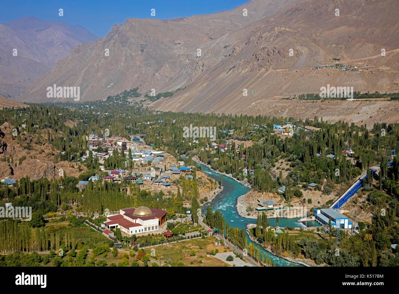 Aereal view over the town Khorugh, capital of Kūhistoni Badakhshon Autonomous Region / Gorno-Badakhshan in the Pamir Mountains in Tajikistan Stock Photohttps://www.alamy.com/image-license-details/?v=1https://www.alamy.com/aereal-view-over-the-town-khorugh-capital-of-khistoni-badakhshon-autonomous-image157994360.html
RMK517BM–Aereal view over the town Khorugh, capital of Kūhistoni Badakhshon Autonomous Region / Gorno-Badakhshan in the Pamir Mountains in Tajikistan
 School uniforms for sale in a local market, Gorno-Badakhshan autonomous region, Khorog, Tajikistan Stock Photohttps://www.alamy.com/image-license-details/?v=1https://www.alamy.com/stock-photo-school-uniforms-for-sale-in-a-local-market-gorno-badakhshan-autonomous-148043573.html
RMJGRY2D–School uniforms for sale in a local market, Gorno-Badakhshan autonomous region, Khorog, Tajikistan
 The ancient five-level Buddhist stupa in the village Vrang. Wakhan Corridor, Tajikistan, Stock Photohttps://www.alamy.com/image-license-details/?v=1https://www.alamy.com/the-ancient-five-level-buddhist-stupa-in-the-village-vrang-wakhan-corridor-tajikistan-image367089538.html
RF2C96ACJ–The ancient five-level Buddhist stupa in the village Vrang. Wakhan Corridor, Tajikistan,
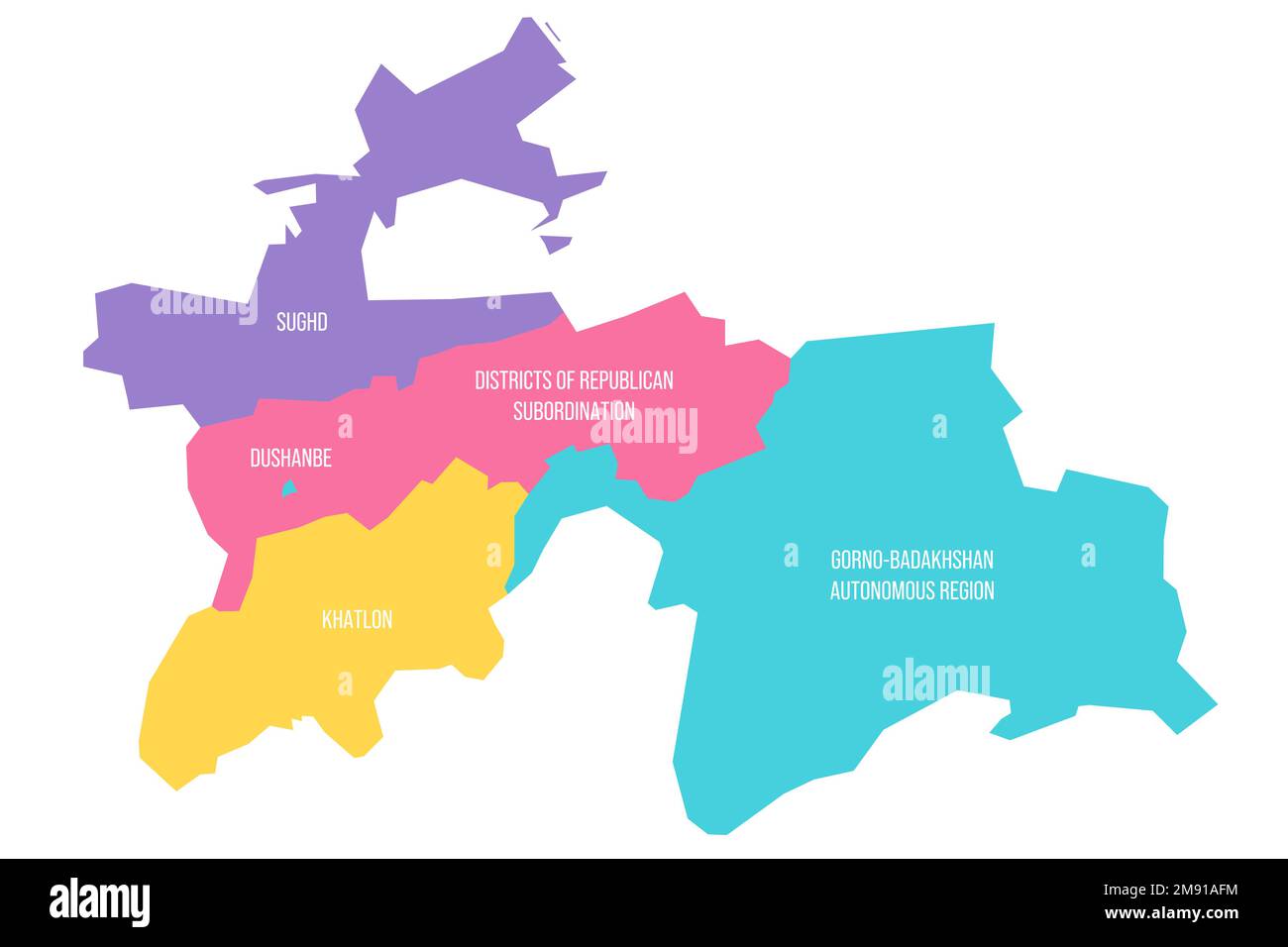 Tajikistan political map of administrative divisions - regions, autonomous region of Gorno-Badakhshan, districts of Republican Subordination and capital city of Dushanbe. Colorful vector map with labels. Stock Vectorhttps://www.alamy.com/image-license-details/?v=1https://www.alamy.com/tajikistan-political-map-of-administrative-divisions-regions-autonomous-region-of-gorno-badakhshan-districts-of-republican-subordination-and-capital-city-of-dushanbe-colorful-vector-map-with-labels-image504662808.html
RF2M91AFM–Tajikistan political map of administrative divisions - regions, autonomous region of Gorno-Badakhshan, districts of Republican Subordination and capital city of Dushanbe. Colorful vector map with labels.
 Khorog. A town in the Wakhan Corridor, Tajikistan, Stock Photohttps://www.alamy.com/image-license-details/?v=1https://www.alamy.com/khorog-a-town-in-the-wakhan-corridor-tajikistan-image367089773.html
RF2C96AN1–Khorog. A town in the Wakhan Corridor, Tajikistan,
 Rangul and Shorkul Lakes off the remote Pamir Highway, Gorno-Badakhshan Autonomous Region, Tajikistan. Stock Photohttps://www.alamy.com/image-license-details/?v=1https://www.alamy.com/rangul-and-shorkul-lakes-off-the-remote-pamir-highway-gorno-badakhshan-autonomous-region-tajikistan-image221268757.html
RFPRYJFH–Rangul and Shorkul Lakes off the remote Pamir Highway, Gorno-Badakhshan Autonomous Region, Tajikistan.
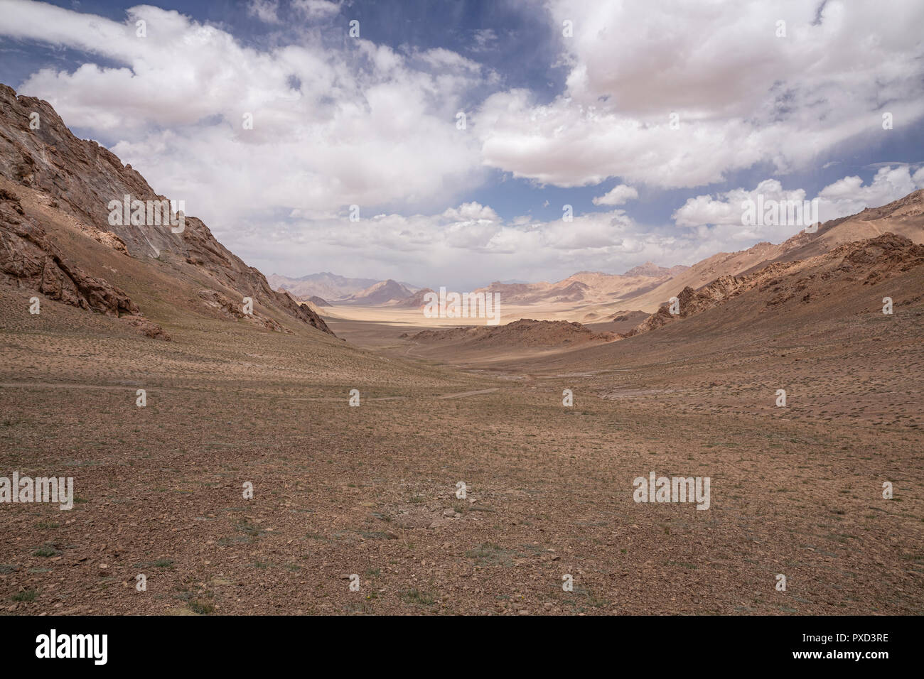 Southern Alichur range near Jarty Gumbez, Pamir Mountains, Gorno Badakhshan Autonomous Region, Tajikistan Stock Photohttps://www.alamy.com/image-license-details/?v=1https://www.alamy.com/southern-alichur-range-near-jarty-gumbez-pamir-mountains-gorno-badakhshan-autonomous-region-tajikistan-image222793858.html
RFPXD3RE–Southern Alichur range near Jarty Gumbez, Pamir Mountains, Gorno Badakhshan Autonomous Region, Tajikistan
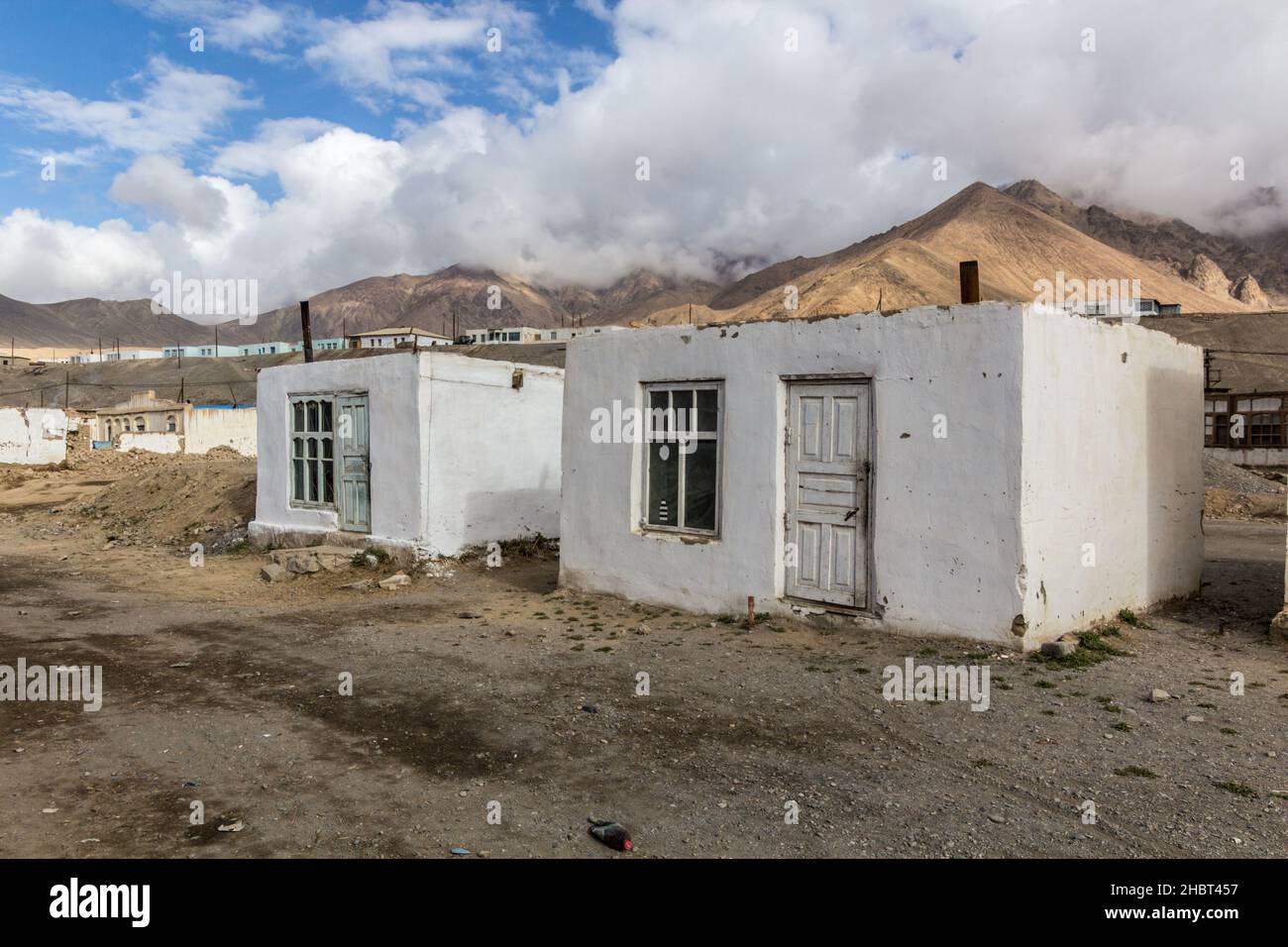 Murghab village in Gorno-Badakhshan Autonomous Region, Tajikistan Stock Photohttps://www.alamy.com/image-license-details/?v=1https://www.alamy.com/murghab-village-in-gorno-badakhshan-autonomous-region-tajikistan-image454760915.html
RF2HBT457–Murghab village in Gorno-Badakhshan Autonomous Region, Tajikistan
 Khorugh GBAO Gorno-Badakhshan Autonomous Region Government Building View of Flag Pole on a Sunny Blue Sky Day Stock Photohttps://www.alamy.com/image-license-details/?v=1https://www.alamy.com/khorugh-gbao-gorno-badakhshan-autonomous-region-government-building-view-of-flag-pole-on-a-sunny-blue-sky-day-image335552638.html
RF2ADWMPP–Khorugh GBAO Gorno-Badakhshan Autonomous Region Government Building View of Flag Pole on a Sunny Blue Sky Day
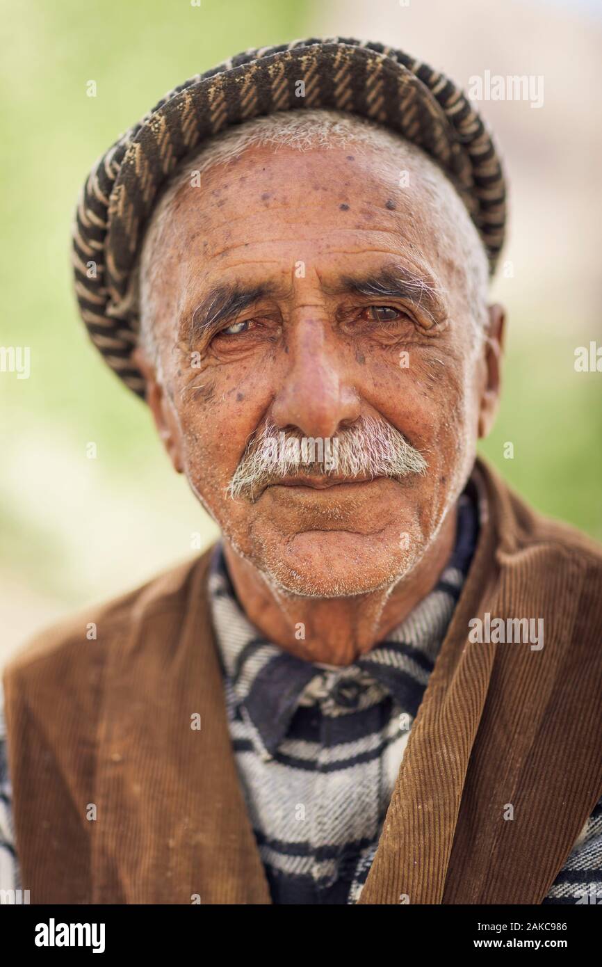 Tajikistan, Gorno-Badakhshan Autonomous Region, Vrang, portrait of an elderly Tajik man Stock Photohttps://www.alamy.com/image-license-details/?v=1https://www.alamy.com/tajikistan-gorno-badakhshan-autonomous-region-vrang-portrait-of-an-elderly-tajik-man-image338946166.html
RM2AKC986–Tajikistan, Gorno-Badakhshan Autonomous Region, Vrang, portrait of an elderly Tajik man
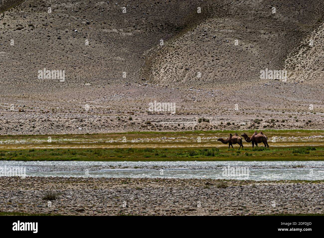 Camels near Silk Road in Murghob District, Tajikistan Stock Photohttps://www.alamy.com/image-license-details/?v=1https://www.alamy.com/camels-near-silk-road-in-murghob-district-tajikistan-image388147941.html
RF2DFDJJD–Camels near Silk Road in Murghob District, Tajikistan
 Tajikistan, Gorno-Badakhshan Autonomous Region, meandering Piandj River, green cultures and desert mountains, Afghanistan seen from Tajikistan Stock Photohttps://www.alamy.com/image-license-details/?v=1https://www.alamy.com/tajikistan-gorno-badakhshan-autonomous-region-meandering-piandj-river-green-cultures-and-desert-mountains-afghanistan-seen-from-tajikistan-image338946157.html
RM2AKC97W–Tajikistan, Gorno-Badakhshan Autonomous Region, meandering Piandj River, green cultures and desert mountains, Afghanistan seen from Tajikistan
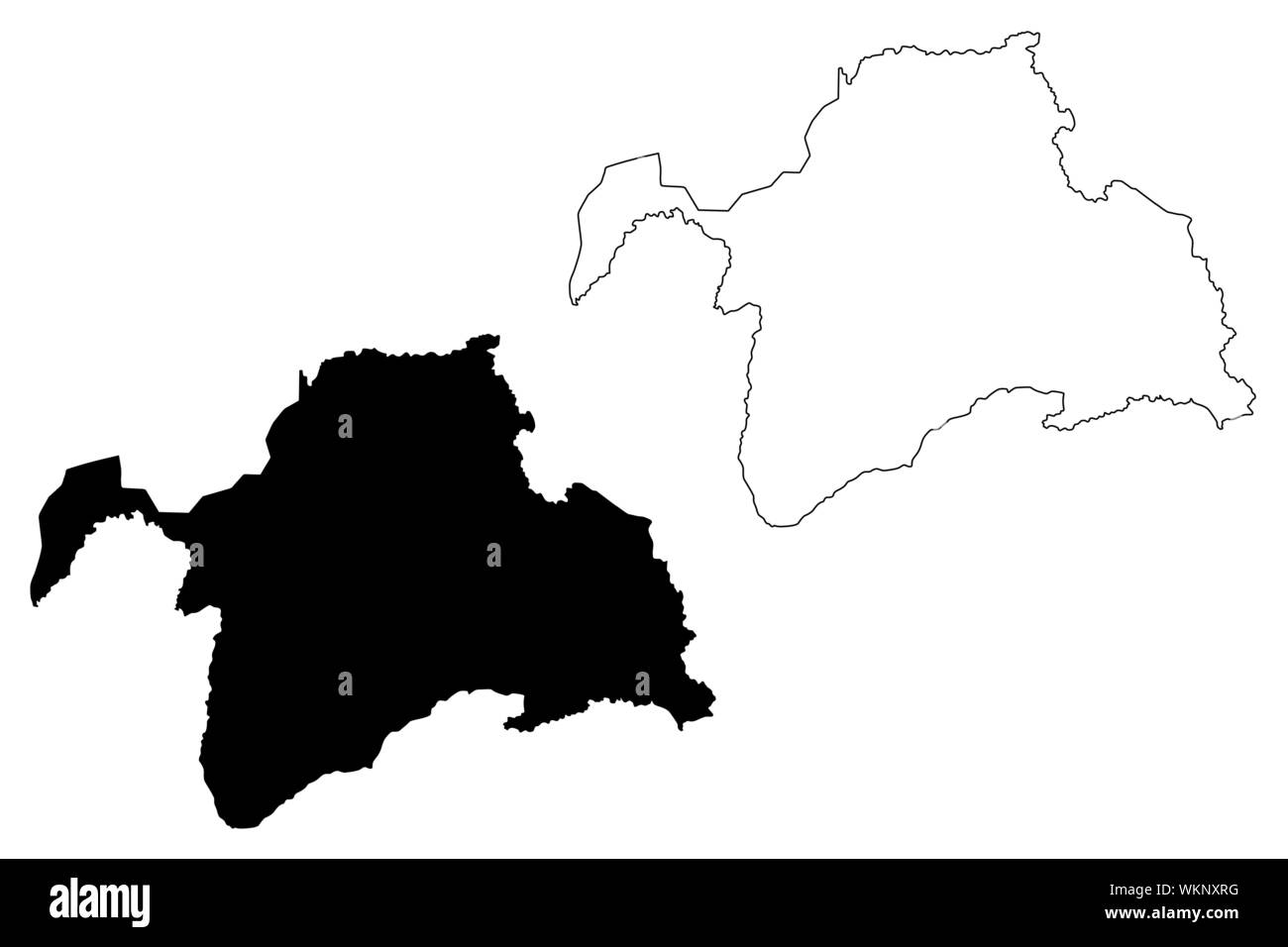 Gorno-Badakhshan Autonomous Region (Republic of Tajikistan, Regions of Tajikistan) map vector illustration, scribble sketch Kuhistani Badakhshan Auton Stock Vectorhttps://www.alamy.com/image-license-details/?v=1https://www.alamy.com/gorno-badakhshan-autonomous-region-republic-of-tajikistan-regions-of-tajikistan-map-vector-illustration-scribble-sketch-kuhistani-badakhshan-auton-image270316020.html
RFWKNXRG–Gorno-Badakhshan Autonomous Region (Republic of Tajikistan, Regions of Tajikistan) map vector illustration, scribble sketch Kuhistani Badakhshan Auton
 Tajikistan, Gorno-Badakhshan Autonomous Region, Ishkashim, border guard and bridge marking the border between Tajikistan and Afghanistan, seen from the Tajik side Stock Photohttps://www.alamy.com/image-license-details/?v=1https://www.alamy.com/tajikistan-gorno-badakhshan-autonomous-region-ishkashim-border-guard-and-bridge-marking-the-border-between-tajikistan-and-afghanistan-seen-from-the-tajik-side-image338946155.html
RM2AKC97R–Tajikistan, Gorno-Badakhshan Autonomous Region, Ishkashim, border guard and bridge marking the border between Tajikistan and Afghanistan, seen from the Tajik side
 Map of Tajikistan with the provinces, Gorno-Badakhshan is highlighted. Stock Vectorhttps://www.alamy.com/image-license-details/?v=1https://www.alamy.com/map-of-tajikistan-with-the-provinces-gorno-badakhshan-is-highlighted-image642523664.html
RF2S99DDM–Map of Tajikistan with the provinces, Gorno-Badakhshan is highlighted.
 Tajikistan, Gorno-Badakhshan Autonomous Region, yurt camp by M41 road, also called Pamir Highway, portrait of a smiling Kyrgyz boy, altitude 3900m Stock Photohttps://www.alamy.com/image-license-details/?v=1https://www.alamy.com/tajikistan-gorno-badakhshan-autonomous-region-yurt-camp-by-m41-road-also-called-pamir-highway-portrait-of-a-smiling-kyrgyz-boy-altitude-3900m-image338946153.html
RM2AKC97N–Tajikistan, Gorno-Badakhshan Autonomous Region, yurt camp by M41 road, also called Pamir Highway, portrait of a smiling Kyrgyz boy, altitude 3900m
 Wildflowers in the Pamir Botanical Gardens, second highest botanical garden in the world at Khorugh, Gorno-Badakhshan, Tajikistan Stock Photohttps://www.alamy.com/image-license-details/?v=1https://www.alamy.com/wildflowers-in-the-pamir-botanical-gardens-second-highest-botanical-image157994399.html
RMK517D3–Wildflowers in the Pamir Botanical Gardens, second highest botanical garden in the world at Khorugh, Gorno-Badakhshan, Tajikistan
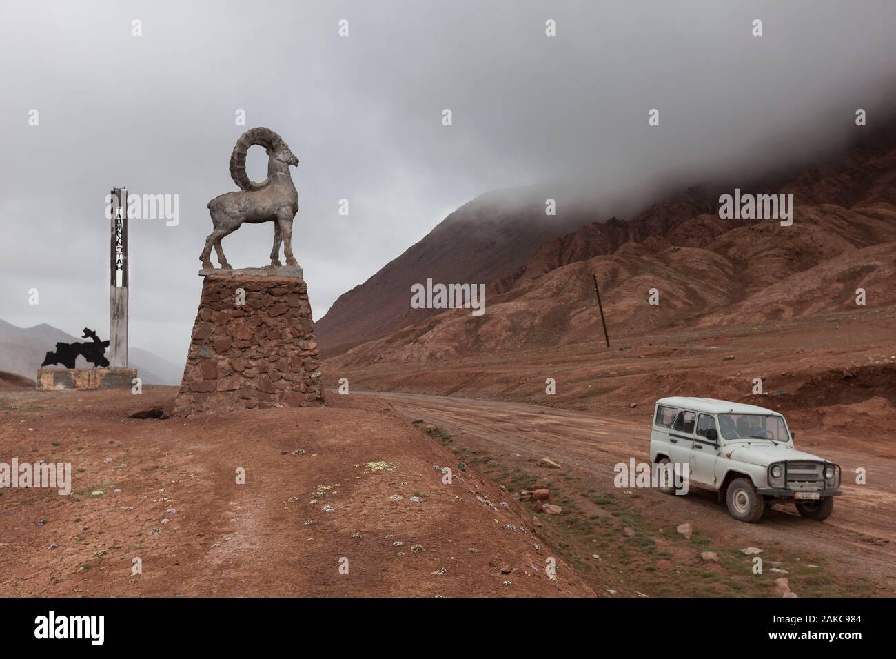 Tajikistan, Gorno-Badakhshan Autonomous Region, Kyzyl-Art Pass, altitude 4280m, border between Kyrgyzstan and Tajikistan, jeep and monuments indicating entry to Tajikistan Stock Photohttps://www.alamy.com/image-license-details/?v=1https://www.alamy.com/tajikistan-gorno-badakhshan-autonomous-region-kyzyl-art-pass-altitude-4280m-border-between-kyrgyzstan-and-tajikistan-jeep-and-monuments-indicating-entry-to-tajikistan-image338946164.html
RM2AKC984–Tajikistan, Gorno-Badakhshan Autonomous Region, Kyzyl-Art Pass, altitude 4280m, border between Kyrgyzstan and Tajikistan, jeep and monuments indicating entry to Tajikistan
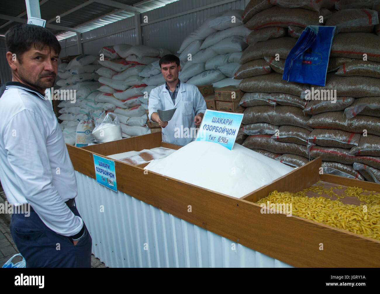 Sugar and pastas for sale in a local market, Gorno-Badakhshan autonomous region, Khorog, Tajikistan Stock Photohttps://www.alamy.com/image-license-details/?v=1https://www.alamy.com/stock-photo-sugar-and-pastas-for-sale-in-a-local-market-gorno-badakhshan-autonomous-148043542.html
RMJGRY1A–Sugar and pastas for sale in a local market, Gorno-Badakhshan autonomous region, Khorog, Tajikistan
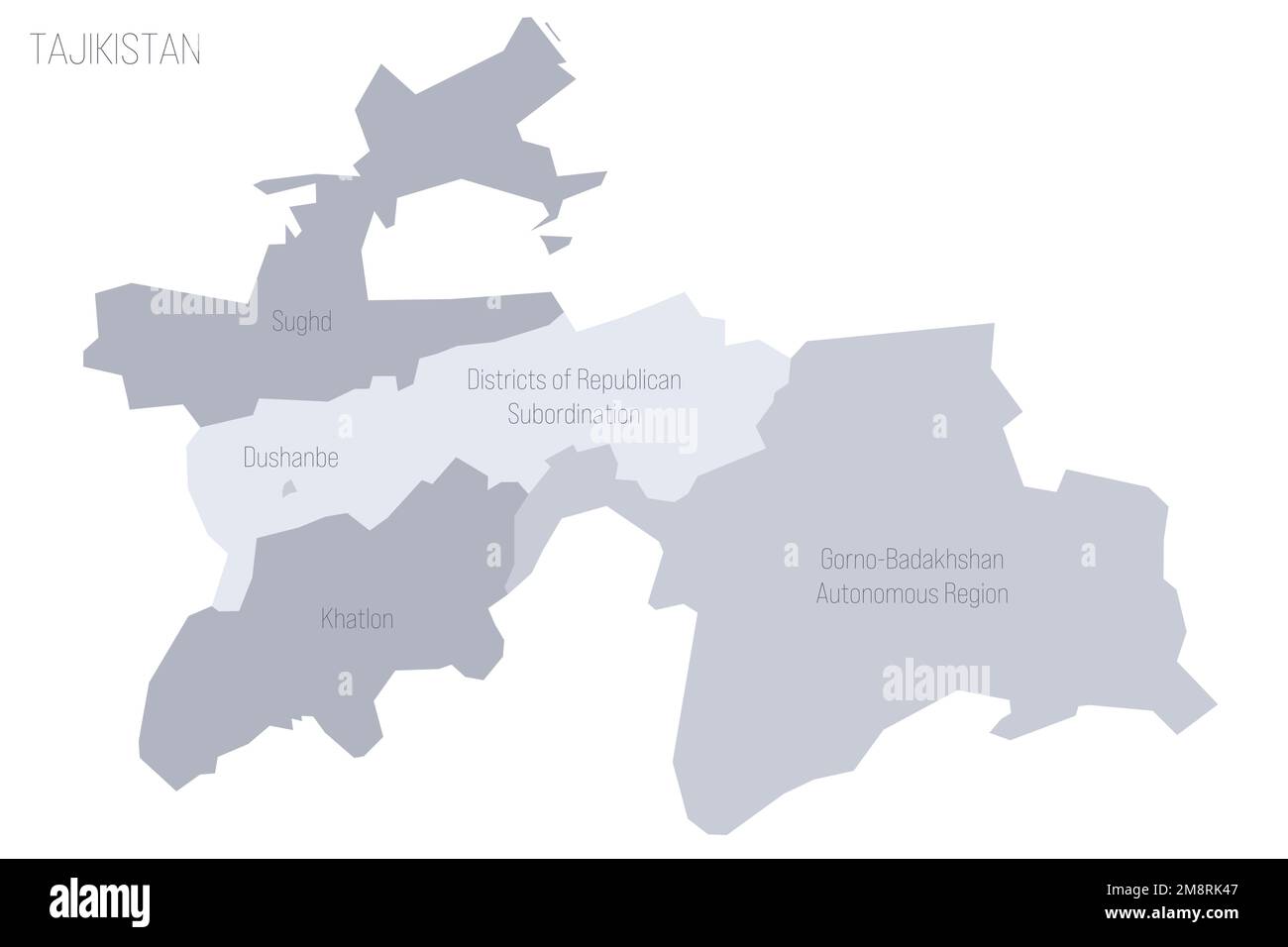 Tajikistan political map of administrative divisions - regions, autonomous region of Gorno-Badakhshan, districts of Republican Subordination and capital city of Dushanbe. Grey vector map with labels. Stock Vectorhttps://www.alamy.com/image-license-details/?v=1https://www.alamy.com/tajikistan-political-map-of-administrative-divisions-regions-autonomous-region-of-gorno-badakhshan-districts-of-republican-subordination-and-capital-city-of-dushanbe-grey-vector-map-with-labels-image504537831.html
RF2M8RK47–Tajikistan political map of administrative divisions - regions, autonomous region of Gorno-Badakhshan, districts of Republican Subordination and capital city of Dushanbe. Grey vector map with labels.
 Khorog. A town in the Wakhan Corridor, Tajikistan, Stock Photohttps://www.alamy.com/image-license-details/?v=1https://www.alamy.com/khorog-a-town-in-the-wakhan-corridor-tajikistan-image367089793.html
RF2C96ANN–Khorog. A town in the Wakhan Corridor, Tajikistan,
 Toys and clothes for sale in a local market, Gorno-Badakhshan autonomous region, Khorog, Tajikistan Stock Photohttps://www.alamy.com/image-license-details/?v=1https://www.alamy.com/stock-photo-toys-and-clothes-for-sale-in-a-local-market-gorno-badakhshan-autonomous-148043530.html
RMJGRY0X–Toys and clothes for sale in a local market, Gorno-Badakhshan autonomous region, Khorog, Tajikistan
 Khakaha fortress in the Wakhan Corridor, Tajikistan, Stock Photohttps://www.alamy.com/image-license-details/?v=1https://www.alamy.com/khakaha-fortress-in-the-wakhan-corridor-tajikistan-image367089752.html
RF2C96AM8–Khakaha fortress in the Wakhan Corridor, Tajikistan,
 Alley with big trees in Khorog city park, Gorno-Badakhshan autonomous region, Khorog, Tajikistan Stock Photohttps://www.alamy.com/image-license-details/?v=1https://www.alamy.com/stock-photo-alley-with-big-trees-in-khorog-city-park-gorno-badakhshan-autonomous-148043527.html
RMJGRY0R–Alley with big trees in Khorog city park, Gorno-Badakhshan autonomous region, Khorog, Tajikistan
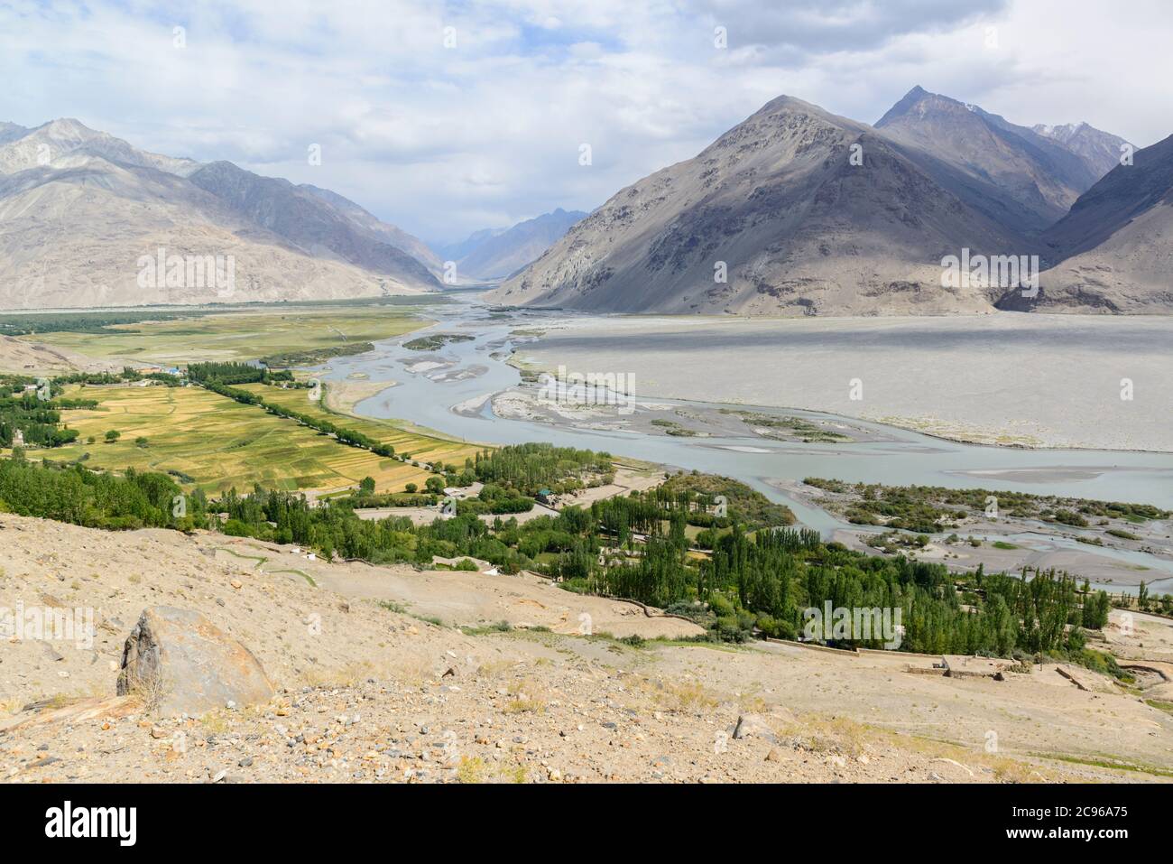 Wakhan Corridor, Tajikistan, Langar village where Pamir river and Wakhan river meet Stock Photohttps://www.alamy.com/image-license-details/?v=1https://www.alamy.com/wakhan-corridor-tajikistan-langar-village-where-pamir-river-and-wakhan-river-meet-image367089385.html
RF2C96A75–Wakhan Corridor, Tajikistan, Langar village where Pamir river and Wakhan river meet
 Southern Alichur range near Jarty Gumbez, Pamir Mountains, Gorno Badakhshan Autonomous Region, Tajikistan Stock Photohttps://www.alamy.com/image-license-details/?v=1https://www.alamy.com/southern-alichur-range-near-jarty-gumbez-pamir-mountains-gorno-badakhshan-autonomous-region-tajikistan-image222793778.html
RFPXD3MJ–Southern Alichur range near Jarty Gumbez, Pamir Mountains, Gorno Badakhshan Autonomous Region, Tajikistan
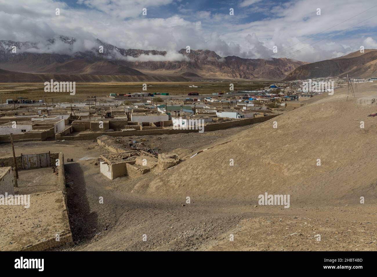 Murghab village in Gorno-Badakhshan Autonomous Region, Tajikistan Stock Photohttps://www.alamy.com/image-license-details/?v=1https://www.alamy.com/murghab-village-in-gorno-badakhshan-autonomous-region-tajikistan-image454761089.html
RF2HBT4BD–Murghab village in Gorno-Badakhshan Autonomous Region, Tajikistan
 Trekkers at Rangul and Shorkul Lakes off the remote Pamir Highway, Gorno-Badakhshan Autonomous Region, Tajikistan. Stock Photohttps://www.alamy.com/image-license-details/?v=1https://www.alamy.com/trekkers-at-rangul-and-shorkul-lakes-off-the-remote-pamir-highway-gorno-badakhshan-autonomous-region-tajikistan-image221268769.html
RFPRYJG1–Trekkers at Rangul and Shorkul Lakes off the remote Pamir Highway, Gorno-Badakhshan Autonomous Region, Tajikistan.
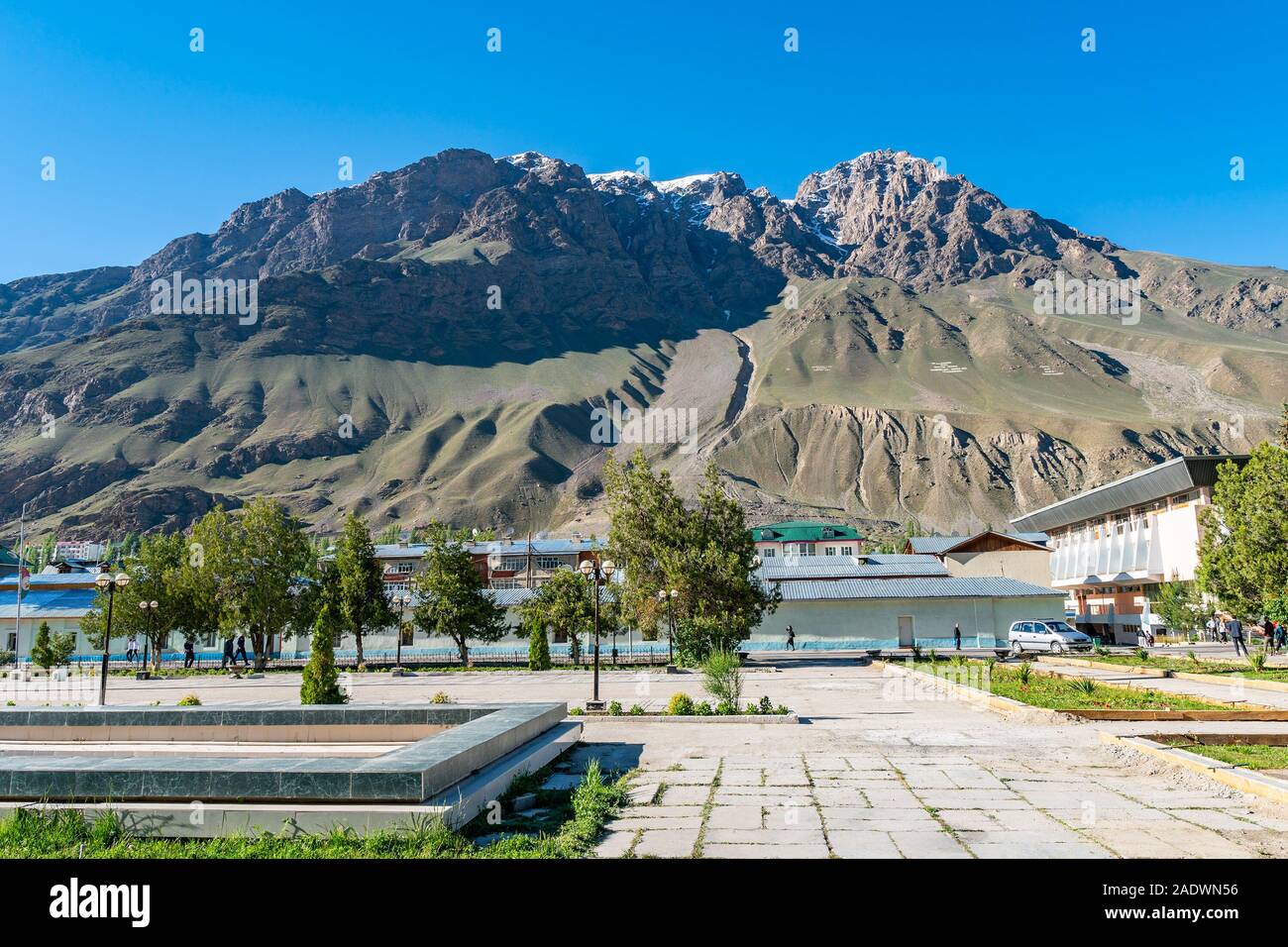 Khorugh GBAO Gorno-Badakhshan Autonomous Region Government Building View of the Opposite Side Mountain on a Sunny Blue Sky Day Stock Photohttps://www.alamy.com/image-license-details/?v=1https://www.alamy.com/khorugh-gbao-gorno-badakhshan-autonomous-region-government-building-view-of-the-opposite-side-mountain-on-a-sunny-blue-sky-day-image335552930.html
RF2ADWN56–Khorugh GBAO Gorno-Badakhshan Autonomous Region Government Building View of the Opposite Side Mountain on a Sunny Blue Sky Day
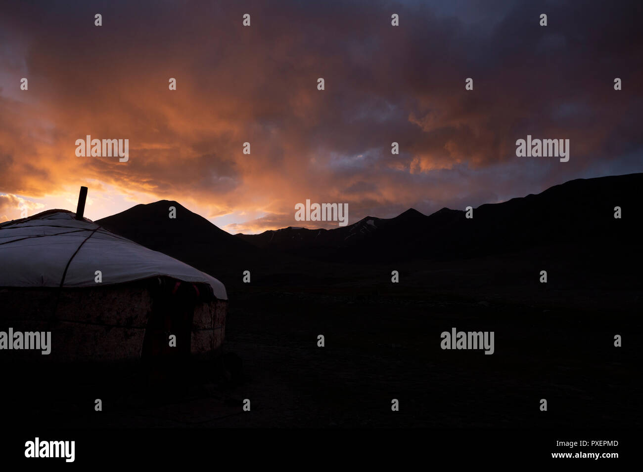 Kyrgyz yurt silhouetted in sunset, Kara Jilga, Pamir Mountains, Gorno Badakhshan Autonomous Region, Tajikistan Stock Photohttps://www.alamy.com/image-license-details/?v=1https://www.alamy.com/kyrgyz-yurt-silhouetted-in-sunset-kara-jilga-pamir-mountains-gorno-badakhshan-autonomous-region-tajikistan-image222830621.html
RFPXEPMD–Kyrgyz yurt silhouetted in sunset, Kara Jilga, Pamir Mountains, Gorno Badakhshan Autonomous Region, Tajikistan
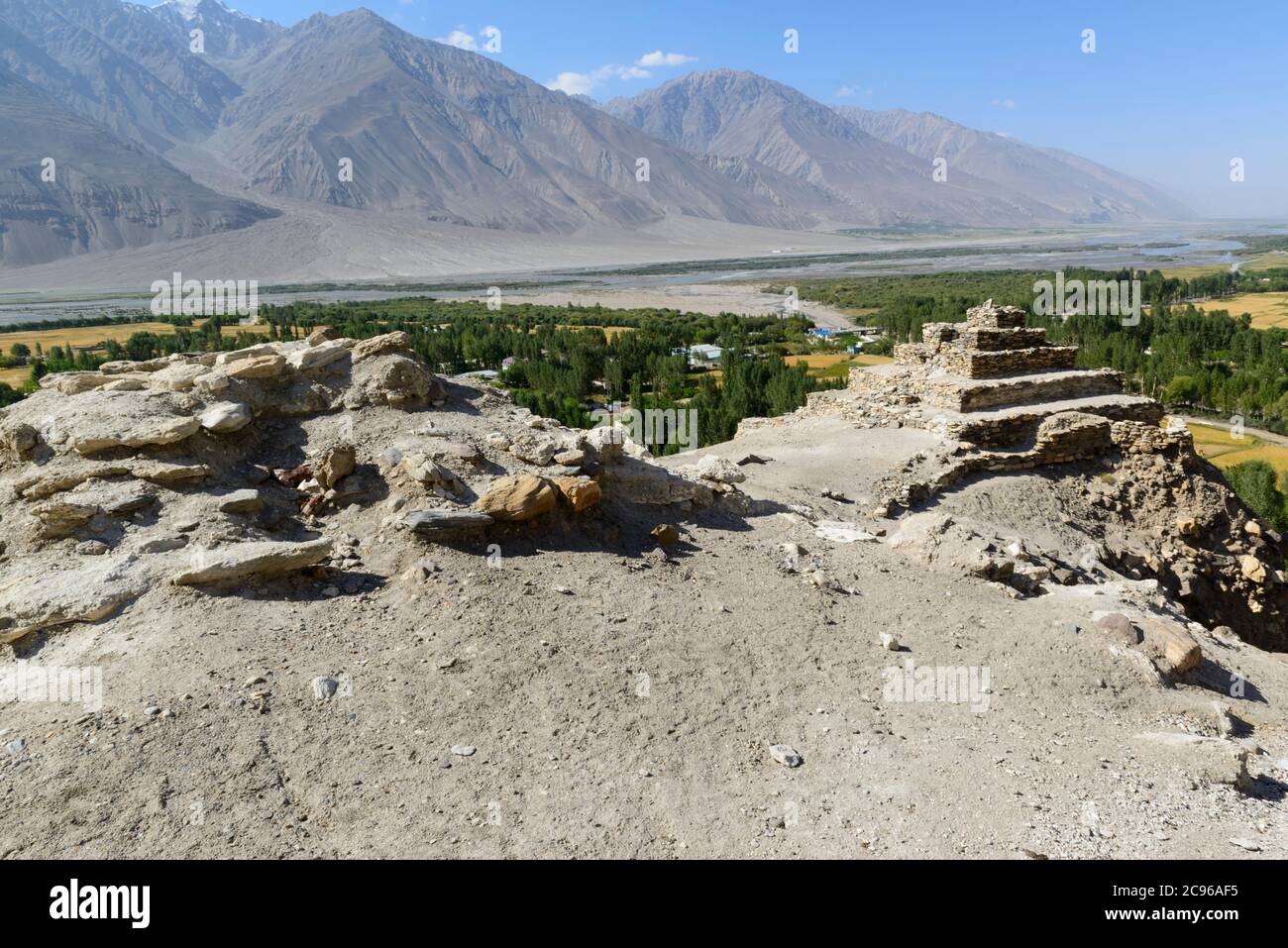 The ancient five-level Buddhist stupa in the village Vrang. Wakhan Corridor, Tajikistan, Stock Photohttps://www.alamy.com/image-license-details/?v=1https://www.alamy.com/the-ancient-five-level-buddhist-stupa-in-the-village-vrang-wakhan-corridor-tajikistan-image367089609.html
RF2C96AF5–The ancient five-level Buddhist stupa in the village Vrang. Wakhan Corridor, Tajikistan,
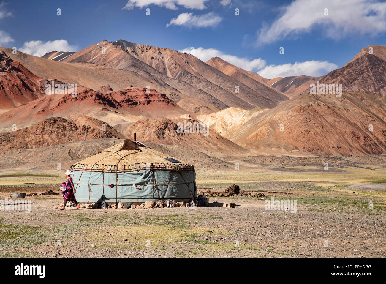 Images taken of Kyrgyz nomadic life in the remote Pshart Valley, Gorno-Badakhshan Autonomous Region, Tajikistan. Stock Photohttps://www.alamy.com/image-license-details/?v=1https://www.alamy.com/images-taken-of-kyrgyz-nomadic-life-in-the-remote-pshart-valley-gorno-badakhshan-autonomous-region-tajikistan-image221264864.html
RFPRYDGG–Images taken of Kyrgyz nomadic life in the remote Pshart Valley, Gorno-Badakhshan Autonomous Region, Tajikistan.
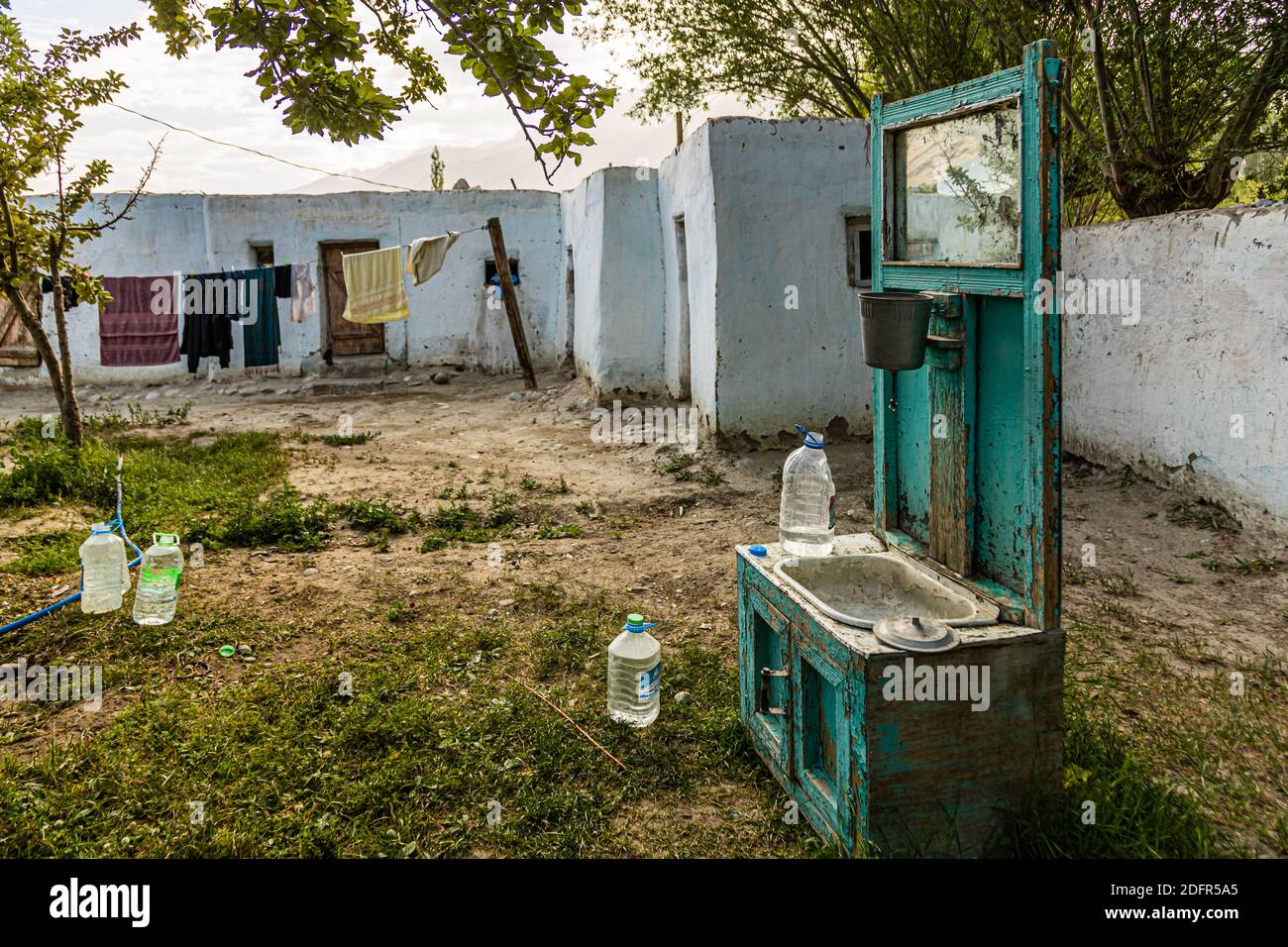 Open air apartment in Hisor, Tajikistan Stock Photohttps://www.alamy.com/image-license-details/?v=1https://www.alamy.com/open-air-apartment-in-hisor-tajikistan-image388357037.html
RF2DFR5A5–Open air apartment in Hisor, Tajikistan
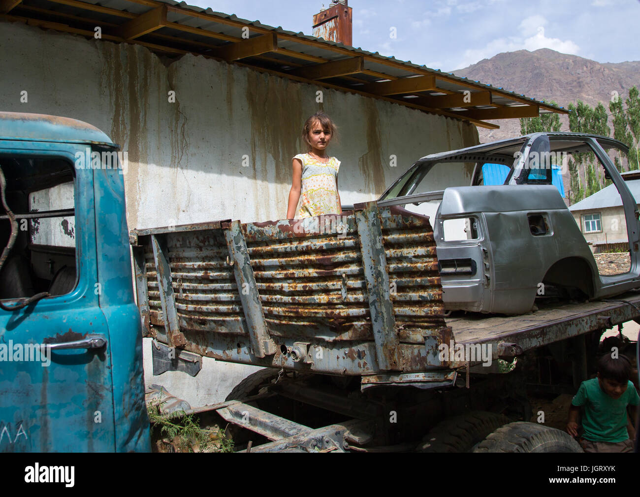 Tajik girl playing in old cars wrecks, Gorno-Badakhshan autonomous region, Khorog, Tajikistan Stock Photohttps://www.alamy.com/image-license-details/?v=1https://www.alamy.com/stock-photo-tajik-girl-playing-in-old-cars-wrecks-gorno-badakhshan-autonomous-148043495.html
RMJGRXYK–Tajik girl playing in old cars wrecks, Gorno-Badakhshan autonomous region, Khorog, Tajikistan
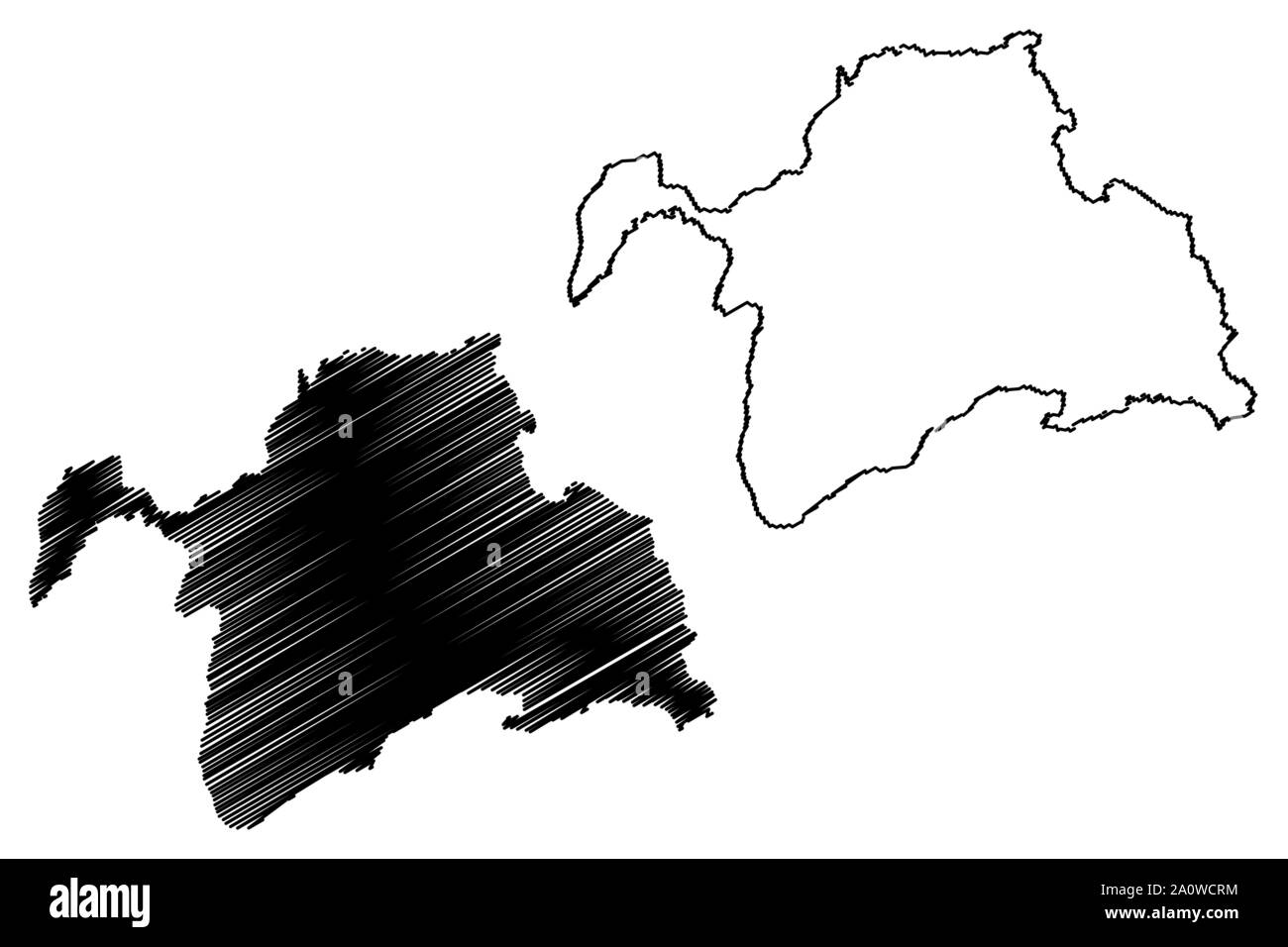 Gorno-Badakhshan Autonomous Region (Republic of Tajikistan, Regions of Tajikistan) map vector illustration, scribble sketch Kuhistani Badakhshan Auton Stock Vectorhttps://www.alamy.com/image-license-details/?v=1https://www.alamy.com/gorno-badakhshan-autonomous-region-republic-of-tajikistan-regions-of-tajikistan-map-vector-illustration-scribble-sketch-kuhistani-badakhshan-auton-image327555864.html
RF2A0WCRM–Gorno-Badakhshan Autonomous Region (Republic of Tajikistan, Regions of Tajikistan) map vector illustration, scribble sketch Kuhistani Badakhshan Auton
 Traders selling goods at the Saturday Market / Tajik-Afghan friendship market in Khorugh, capital of Gorno-Badakhshan in Tajikistan Stock Photohttps://www.alamy.com/image-license-details/?v=1https://www.alamy.com/traders-selling-goods-at-the-saturday-market-tajik-afghan-friendship-image157994641.html
RMK517NN–Traders selling goods at the Saturday Market / Tajik-Afghan friendship market in Khorugh, capital of Gorno-Badakhshan in Tajikistan
 Tajikistan, Gorno-Badakhshan Autonomous Region, Karakul, a Kyrgyz man on the left and a Tajik man on the right wait side by side for their meal in a restaurant Stock Photohttps://www.alamy.com/image-license-details/?v=1https://www.alamy.com/tajikistan-gorno-badakhshan-autonomous-region-karakul-a-kyrgyz-man-on-the-left-and-a-tajik-man-on-the-right-wait-side-by-side-for-their-meal-in-a-restaurant-image338946169.html
RM2AKC989–Tajikistan, Gorno-Badakhshan Autonomous Region, Karakul, a Kyrgyz man on the left and a Tajik man on the right wait side by side for their meal in a restaurant
 Bags of rice beans and sugar with prices in a market, Gorno-Badakhshan autonomous region, Khorog, Tajikistan Stock Photohttps://www.alamy.com/image-license-details/?v=1https://www.alamy.com/stock-photo-bags-of-rice-beans-and-sugar-with-prices-in-a-market-gorno-badakhshan-148043543.html
RMJGRY1B–Bags of rice beans and sugar with prices in a market, Gorno-Badakhshan autonomous region, Khorog, Tajikistan
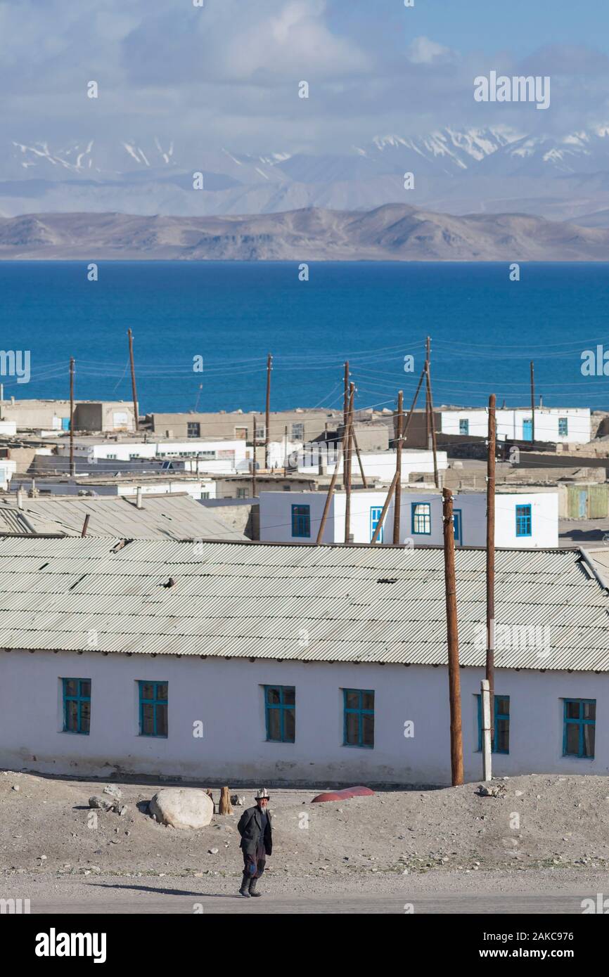 Tajikistan, Gorno-Badakhshan Autonomous Region, Pamir Highway, Karakul, man wearing an Ak-Kalpak, traditional Kyrgyz hat, walking in front of the village, with lake and mountains in background, altitude 3900m Stock Photohttps://www.alamy.com/image-license-details/?v=1https://www.alamy.com/tajikistan-gorno-badakhshan-autonomous-region-pamir-highway-karakul-man-wearing-an-ak-kalpak-traditional-kyrgyz-hat-walking-in-front-of-the-village-with-lake-and-mountains-in-background-altitude-3900m-image338946138.html
RM2AKC976–Tajikistan, Gorno-Badakhshan Autonomous Region, Pamir Highway, Karakul, man wearing an Ak-Kalpak, traditional Kyrgyz hat, walking in front of the village, with lake and mountains in background, altitude 3900m
 Tajikistan political map of administrative divisions - regions, autonomous region of Gorno-Badakhshan, districts of Republican Subordination and capital city of Dushanbe. Blank colorful vector map. Stock Vectorhttps://www.alamy.com/image-license-details/?v=1https://www.alamy.com/tajikistan-political-map-of-administrative-divisions-regions-autonomous-region-of-gorno-badakhshan-districts-of-republican-subordination-and-capital-city-of-dushanbe-blank-colorful-vector-map-image519978172.html
RF2N5Y1D0–Tajikistan political map of administrative divisions - regions, autonomous region of Gorno-Badakhshan, districts of Republican Subordination and capital city of Dushanbe. Blank colorful vector map.
 Map of Tajikistan with the provinces, Gorno-Badakhshan is highlighted by orange. Stock Vectorhttps://www.alamy.com/image-license-details/?v=1https://www.alamy.com/map-of-tajikistan-with-the-provinces-gorno-badakhshan-is-highlighted-by-orange-image642608545.html
RF2S9D9N5–Map of Tajikistan with the provinces, Gorno-Badakhshan is highlighted by orange.
 Murghab village in Gorno-Badakhshan Autonomous Region, Tajikistan Stock Photohttps://www.alamy.com/image-license-details/?v=1https://www.alamy.com/murghab-village-in-gorno-badakhshan-autonomous-region-tajikistan-image454760861.html
RF2HBT439–Murghab village in Gorno-Badakhshan Autonomous Region, Tajikistan
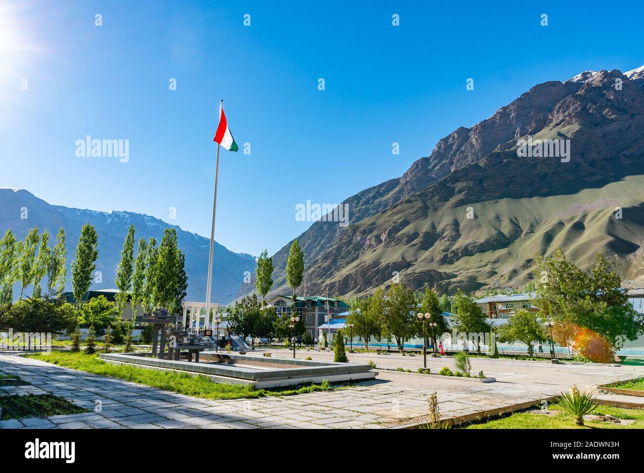 Khorugh GBAO Gorno-Badakhshan Autonomous Region Government Building View of Tajikistan Waving Flag on a Sunny Blue Sky Day Stock Photohttps://www.alamy.com/image-license-details/?v=1https://www.alamy.com/khorugh-gbao-gorno-badakhshan-autonomous-region-government-building-view-of-tajikistan-waving-flag-on-a-sunny-blue-sky-day-image335552885.html
RF2ADWN3H–Khorugh GBAO Gorno-Badakhshan Autonomous Region Government Building View of Tajikistan Waving Flag on a Sunny Blue Sky Day
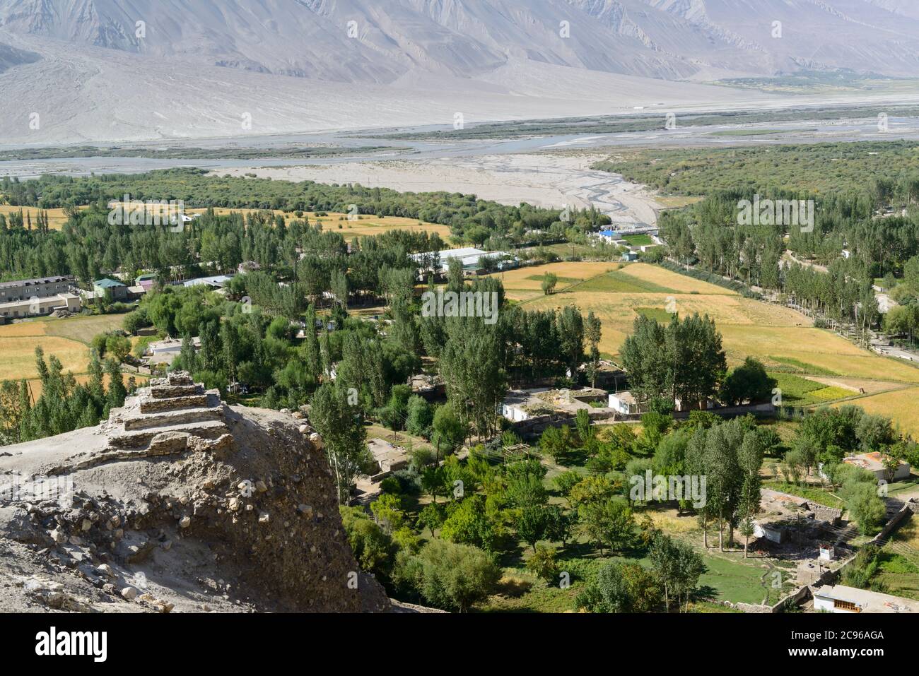 The ancient five-level Buddhist stupa in the village Vrang. Wakhan Corridor, Tajikistan, Stock Photohttps://www.alamy.com/image-license-details/?v=1https://www.alamy.com/the-ancient-five-level-buddhist-stupa-in-the-village-vrang-wakhan-corridor-tajikistan-image367089642.html
RF2C96AGA–The ancient five-level Buddhist stupa in the village Vrang. Wakhan Corridor, Tajikistan,
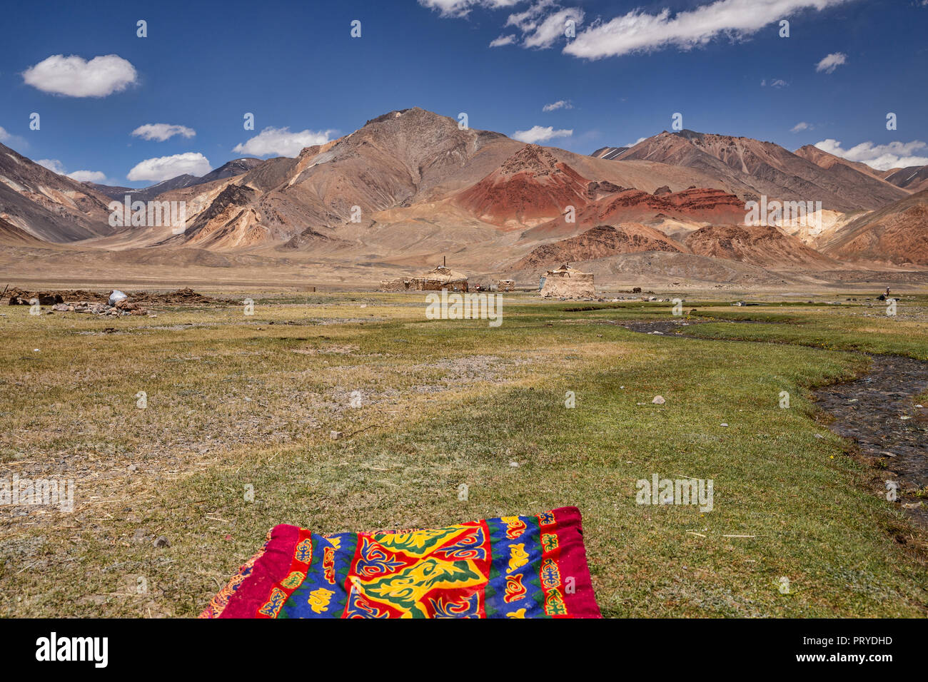 Images taken of Kyrgyz nomadic life in the remote Pshart Valley, Gorno-Badakhshan Autonomous Region, Tajikistan. Stock Photohttps://www.alamy.com/image-license-details/?v=1https://www.alamy.com/images-taken-of-kyrgyz-nomadic-life-in-the-remote-pshart-valley-gorno-badakhshan-autonomous-region-tajikistan-image221264889.html
RFPRYDHD–Images taken of Kyrgyz nomadic life in the remote Pshart Valley, Gorno-Badakhshan Autonomous Region, Tajikistan.
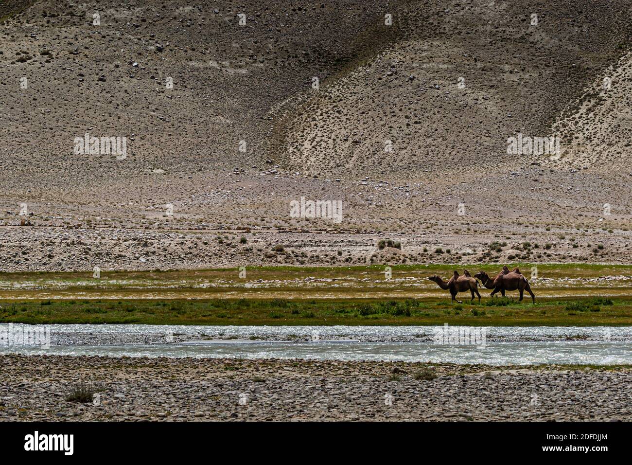 Camels near Silk Road in Murghob District, Tajikistan Stock Photohttps://www.alamy.com/image-license-details/?v=1https://www.alamy.com/camels-near-silk-road-in-murghob-district-tajikistan-image388147948.html
RF2DFDJJM–Camels near Silk Road in Murghob District, Tajikistan
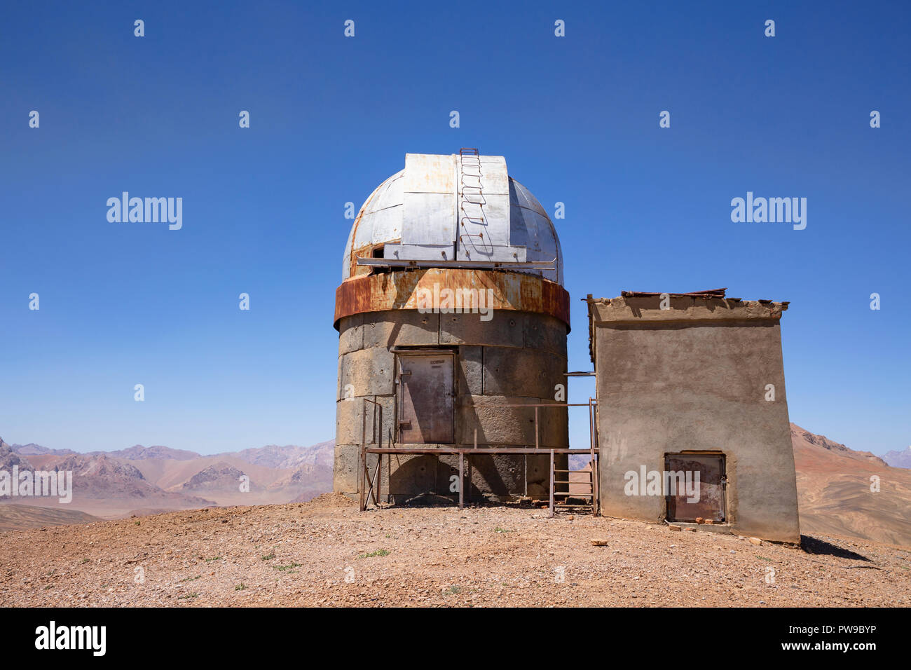 The retired Soviet Shorbuloq Observatory east of Murghab, Murghab District, Pamir Mountains, Gorno Badakhshan Autonomous Region, Tajikistan Stock Photohttps://www.alamy.com/image-license-details/?v=1https://www.alamy.com/the-retired-soviet-shorbuloq-observatory-east-of-murghab-murghab-district-pamir-mountains-gorno-badakhshan-autonomous-region-tajikistan-image222097786.html
RFPW9BYP–The retired Soviet Shorbuloq Observatory east of Murghab, Murghab District, Pamir Mountains, Gorno Badakhshan Autonomous Region, Tajikistan
 Flag of Gorno-Badakhshan (Republic of Tajikistan) Badakhshan Mountainous Autonomous Region Stock Vectorhttps://www.alamy.com/image-license-details/?v=1https://www.alamy.com/flag-of-gorno-badakhshan-republic-of-tajikistan-badakhshan-mountainous-autonomous-region-image645530064.html
RF2SE6C54–Flag of Gorno-Badakhshan (Republic of Tajikistan) Badakhshan Mountainous Autonomous Region
 Kyrgyz nomads make qurut in the remote Pshart Valley in the Pamir Mountains, Gorno-Badakhshan Autonomous Region, Tajikistan. Stock Photohttps://www.alamy.com/image-license-details/?v=1https://www.alamy.com/kyrgyz-nomads-make-qurut-in-the-remote-pshart-valley-in-the-pamir-mountains-gorno-badakhshan-autonomous-region-tajikistan-image221264870.html
RFPRYDGP–Kyrgyz nomads make qurut in the remote Pshart Valley in the Pamir Mountains, Gorno-Badakhshan Autonomous Region, Tajikistan.
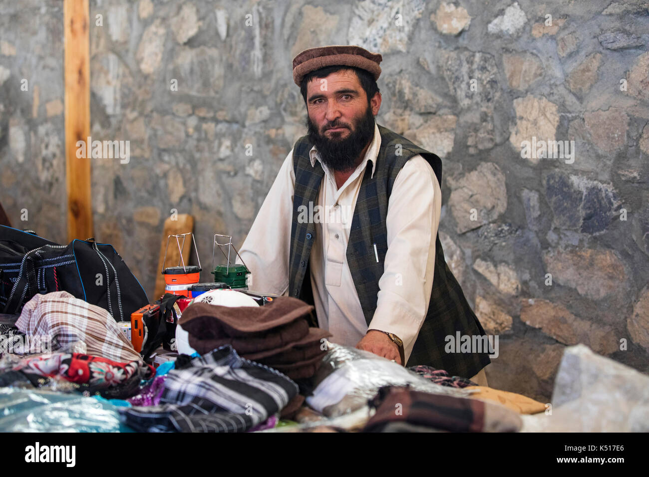 Afghan trader selling goods at the Saturday Market / Tajik-Afghan friendship market in Khorugh, capital of Gorno-Badakhshan in Tajikistan Stock Photohttps://www.alamy.com/image-license-details/?v=1https://www.alamy.com/afghan-trader-selling-goods-at-the-saturday-market-tajik-afghan-friendship-image157994430.html
RMK517E6–Afghan trader selling goods at the Saturday Market / Tajik-Afghan friendship market in Khorugh, capital of Gorno-Badakhshan in Tajikistan
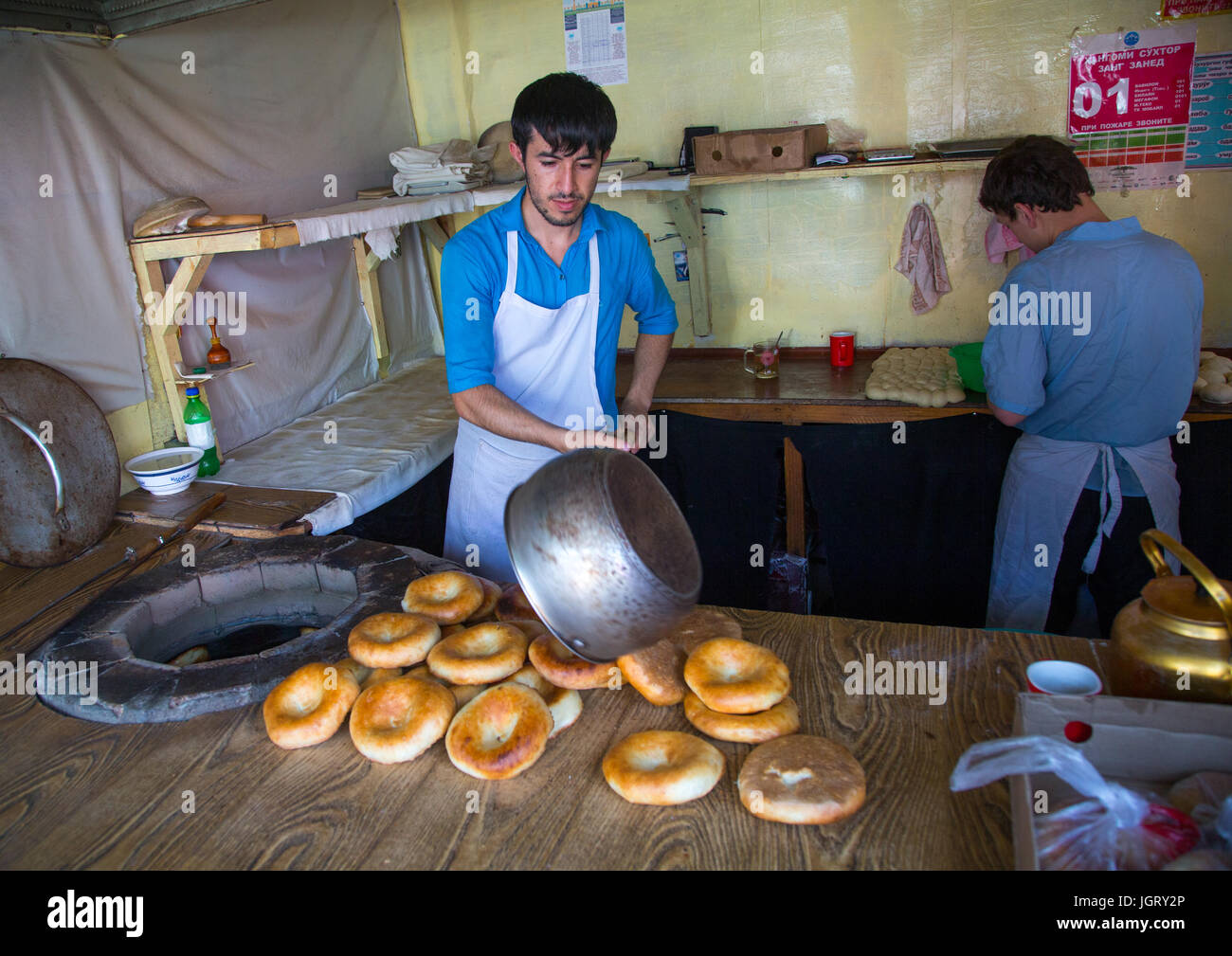 Tajik men making bread in a local bakery, Gorno-Badakhshan autonomous region, Khorog, Tajikistan Stock Photohttps://www.alamy.com/image-license-details/?v=1https://www.alamy.com/stock-photo-tajik-men-making-bread-in-a-local-bakery-gorno-badakhshan-autonomous-148043582.html
RMJGRY2P–Tajik men making bread in a local bakery, Gorno-Badakhshan autonomous region, Khorog, Tajikistan
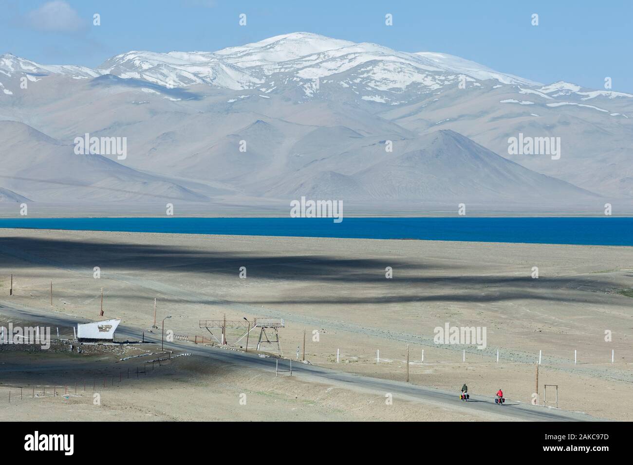 Tajikistan, Gorno-Badakhshan Autonomous Region, Pamir Highway, Karakul, a couple of Western cyclists equipped with saddlebags pedaling on a deserted road, with the lake and mountains in the background, altitude 3900m Stock Photohttps://www.alamy.com/image-license-details/?v=1https://www.alamy.com/tajikistan-gorno-badakhshan-autonomous-region-pamir-highway-karakul-a-couple-of-western-cyclists-equipped-with-saddlebags-pedaling-on-a-deserted-road-with-the-lake-and-mountains-in-the-background-altitude-3900m-image338946145.html
RM2AKC97D–Tajikistan, Gorno-Badakhshan Autonomous Region, Pamir Highway, Karakul, a couple of Western cyclists equipped with saddlebags pedaling on a deserted road, with the lake and mountains in the background, altitude 3900m
 Tajikistan political map of administrative divisions - regions, autonomous region of Gorno-Badakhshan, districts of Republican Subordination and capital city of Dushanbe. 3D map in shades of orange color. Stock Vectorhttps://www.alamy.com/image-license-details/?v=1https://www.alamy.com/tajikistan-political-map-of-administrative-divisions-regions-autonomous-region-of-gorno-badakhshan-districts-of-republican-subordination-and-capital-city-of-dushanbe-3d-map-in-shades-of-orange-color-image526916017.html
RF2NH72N5–Tajikistan political map of administrative divisions - regions, autonomous region of Gorno-Badakhshan, districts of Republican Subordination and capital city of Dushanbe. 3D map in shades of orange color.
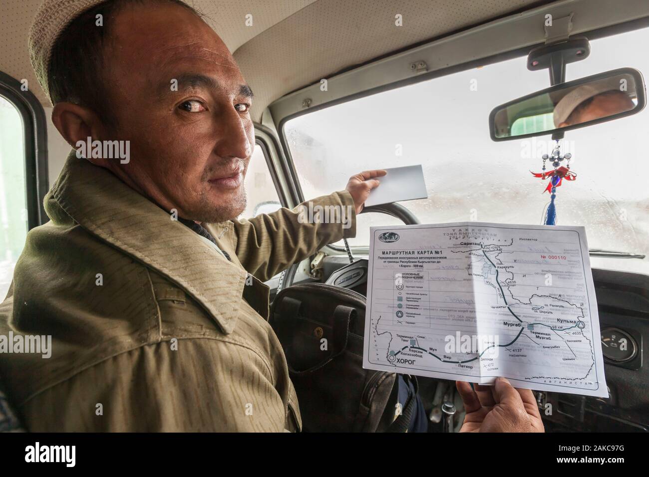 Tajikistan, Gorno-Badakhshan Autonomous Region, Kyzyl-Art Pass, Pamir Highway, border between Kyrgyzstan and Tajikistan, driver showing M41 road, also called Pamir Highway, on the permit issued by the OVIR, immigration and border police Stock Photohttps://www.alamy.com/image-license-details/?v=1https://www.alamy.com/tajikistan-gorno-badakhshan-autonomous-region-kyzyl-art-pass-pamir-highway-border-between-kyrgyzstan-and-tajikistan-driver-showing-m41-road-also-called-pamir-highway-on-the-permit-issued-by-the-ovir-immigration-and-border-police-image338946148.html
RM2AKC97G–Tajikistan, Gorno-Badakhshan Autonomous Region, Kyzyl-Art Pass, Pamir Highway, border between Kyrgyzstan and Tajikistan, driver showing M41 road, also called Pamir Highway, on the permit issued by the OVIR, immigration and border police
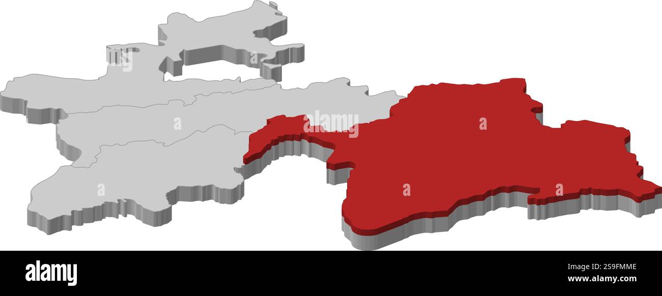 Map of Tajikistan as a gray piece, Gorno-Badakhshan is highlighted in red. Stock Vectorhttps://www.alamy.com/image-license-details/?v=1https://www.alamy.com/map-of-tajikistan-as-a-gray-piece-gorno-badakhshan-is-highlighted-in-red-image642661054.html
RF2S9FMME–Map of Tajikistan as a gray piece, Gorno-Badakhshan is highlighted in red.
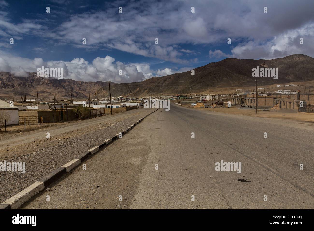 Murghab village in Gorno-Badakhshan Autonomous Region, Tajikistan Stock Photohttps://www.alamy.com/image-license-details/?v=1https://www.alamy.com/murghab-village-in-gorno-badakhshan-autonomous-region-tajikistan-image454761122.html
RF2HBT4CJ–Murghab village in Gorno-Badakhshan Autonomous Region, Tajikistan
 Khorugh GBAO Gorno-Badakhshan Autonomous Region Government Building View of Tajikistan Coat of Arms Symbol on a Sunny Blue Sky Day Stock Photohttps://www.alamy.com/image-license-details/?v=1https://www.alamy.com/khorugh-gbao-gorno-badakhshan-autonomous-region-government-building-view-of-tajikistan-coat-of-arms-symbol-on-a-sunny-blue-sky-day-image335552901.html
RF2ADWN45–Khorugh GBAO Gorno-Badakhshan Autonomous Region Government Building View of Tajikistan Coat of Arms Symbol on a Sunny Blue Sky Day
 The ancient five-level Buddhist stupa in the village Vrang. Wakhan Corridor, Tajikistan, Stock Photohttps://www.alamy.com/image-license-details/?v=1https://www.alamy.com/the-ancient-five-level-buddhist-stupa-in-the-village-vrang-wakhan-corridor-tajikistan-image367089632.html
RF2C96AG0–The ancient five-level Buddhist stupa in the village Vrang. Wakhan Corridor, Tajikistan,