Environmental mitigation Black & White Stock Photos
(1,061)See environmental mitigation stock video clipsEnvironmental mitigation Black & White Stock Photos
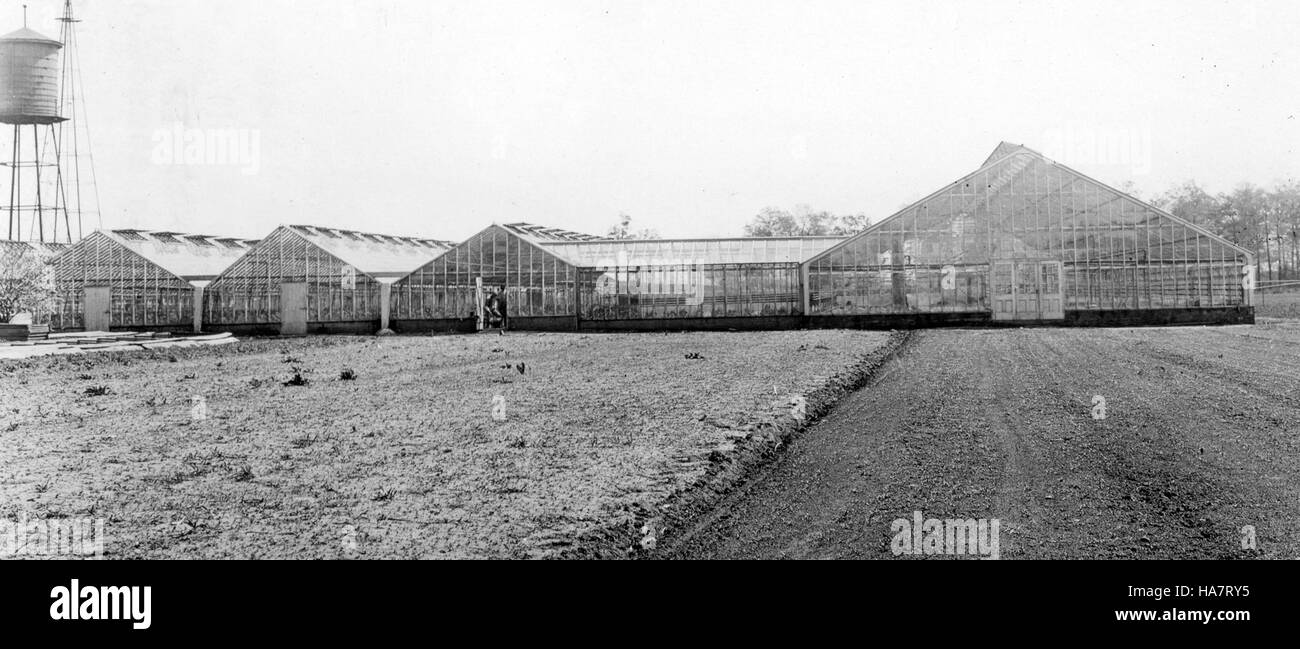 This image from November 10, 2011, captures a significant moment in environmental conservation efforts, focusing on the importance of sustainable practices and climate change mitigation in national parks. Stock Photohttps://www.alamy.com/image-license-details/?v=1https://www.alamy.com/stock-photo-this-image-from-november-10-2011-captures-a-significant-moment-in-126791593.html
RMHA7RY5–This image from November 10, 2011, captures a significant moment in environmental conservation efforts, focusing on the importance of sustainable practices and climate change mitigation in national parks.
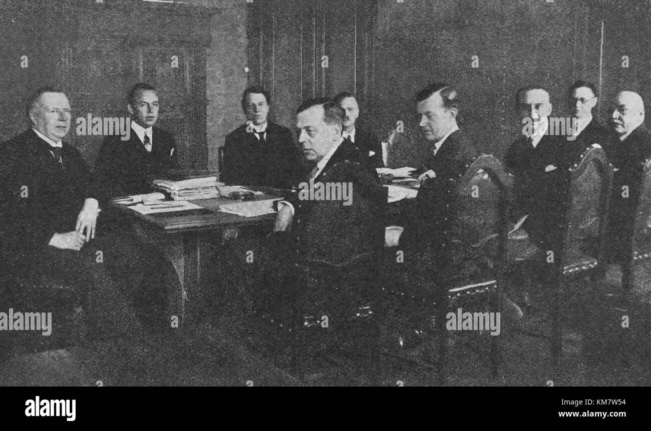 The Oslo Convention, signed in 1972, aims to prevent marine pollution caused by dumping from ships and aircraft. The convention sets guidelines to protect human health and marine life from hazardous substances. Stock Photohttps://www.alamy.com/image-license-details/?v=1https://www.alamy.com/stock-image-the-oslo-convention-signed-in-1972-aims-to-prevent-marine-pollution-167359840.html
RMKM7W54–The Oslo Convention, signed in 1972, aims to prevent marine pollution caused by dumping from ships and aircraft. The convention sets guidelines to protect human health and marine life from hazardous substances.
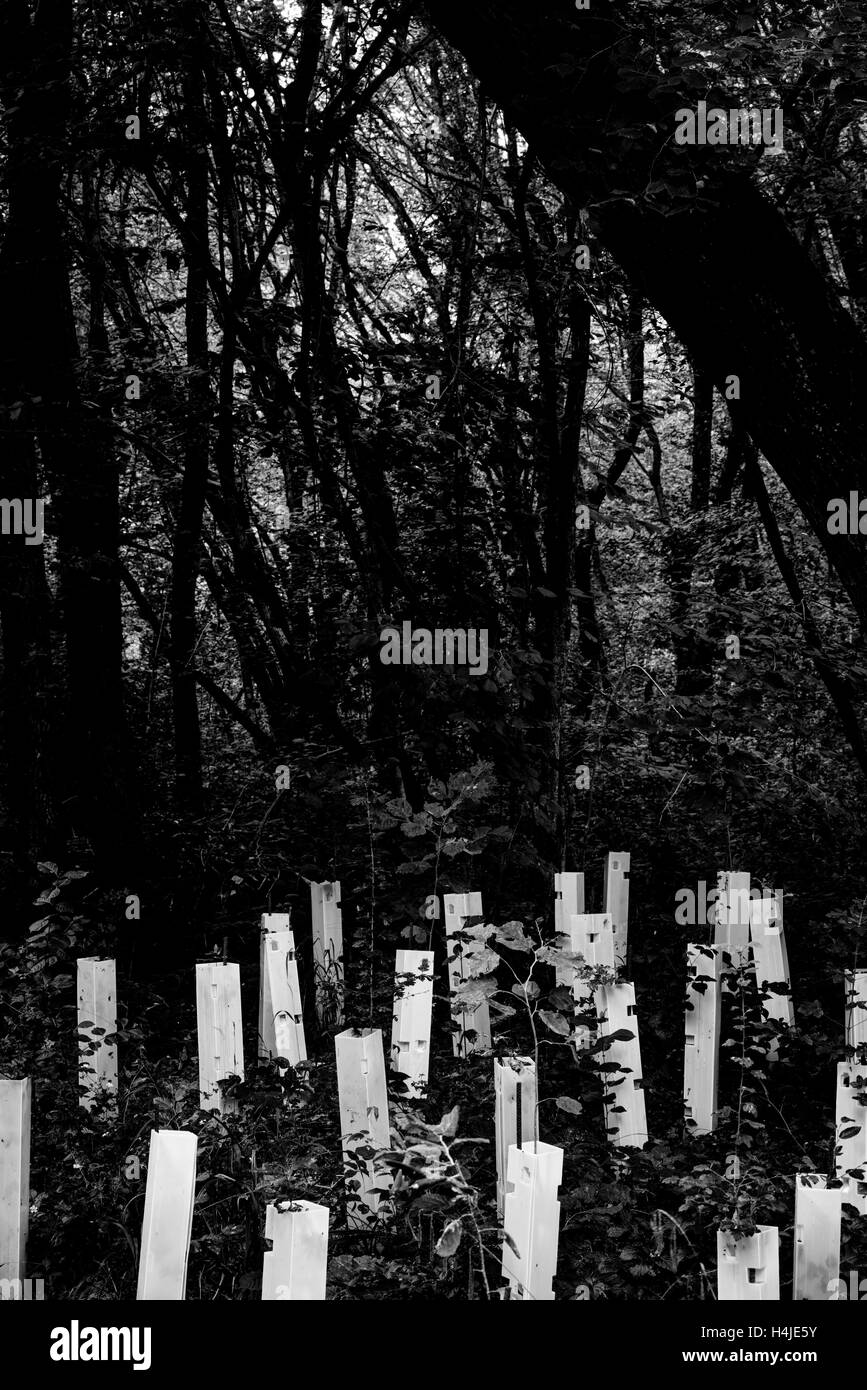 Reforestation woks Stock Photohttps://www.alamy.com/image-license-details/?v=1https://www.alamy.com/stock-photo-reforestation-woks-123337479.html
RMH4JE5Y–Reforestation woks
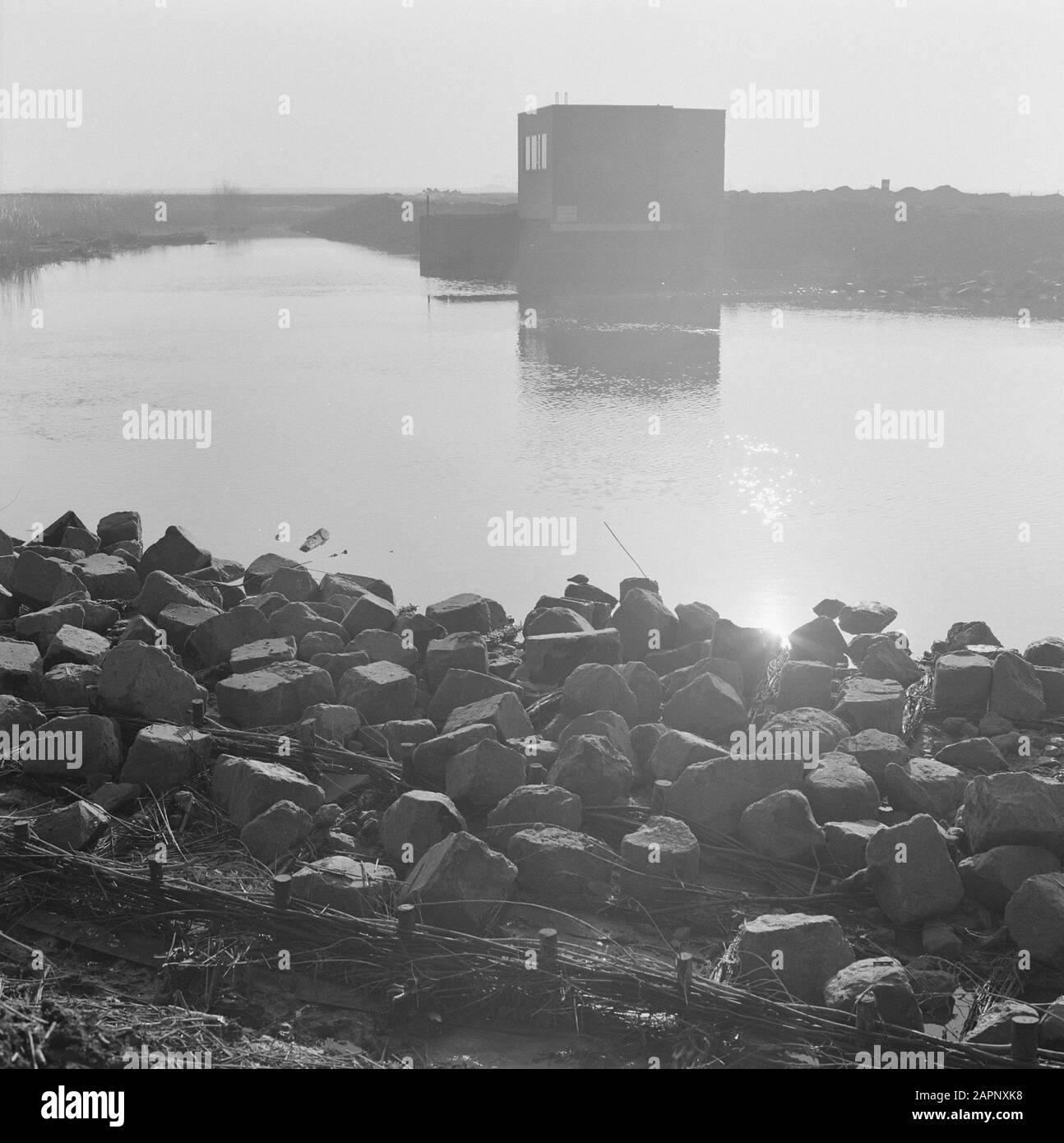 works, water, boulders Date: undated Location: Biesbosch Keywords: boulders, water, work Stock Photohttps://www.alamy.com/image-license-details/?v=1https://www.alamy.com/works-water-boulders-date-undated-location-biesbosch-keywords-boulders-water-work-image341001340.html
RM2APNXK8–works, water, boulders Date: undated Location: Biesbosch Keywords: boulders, water, work
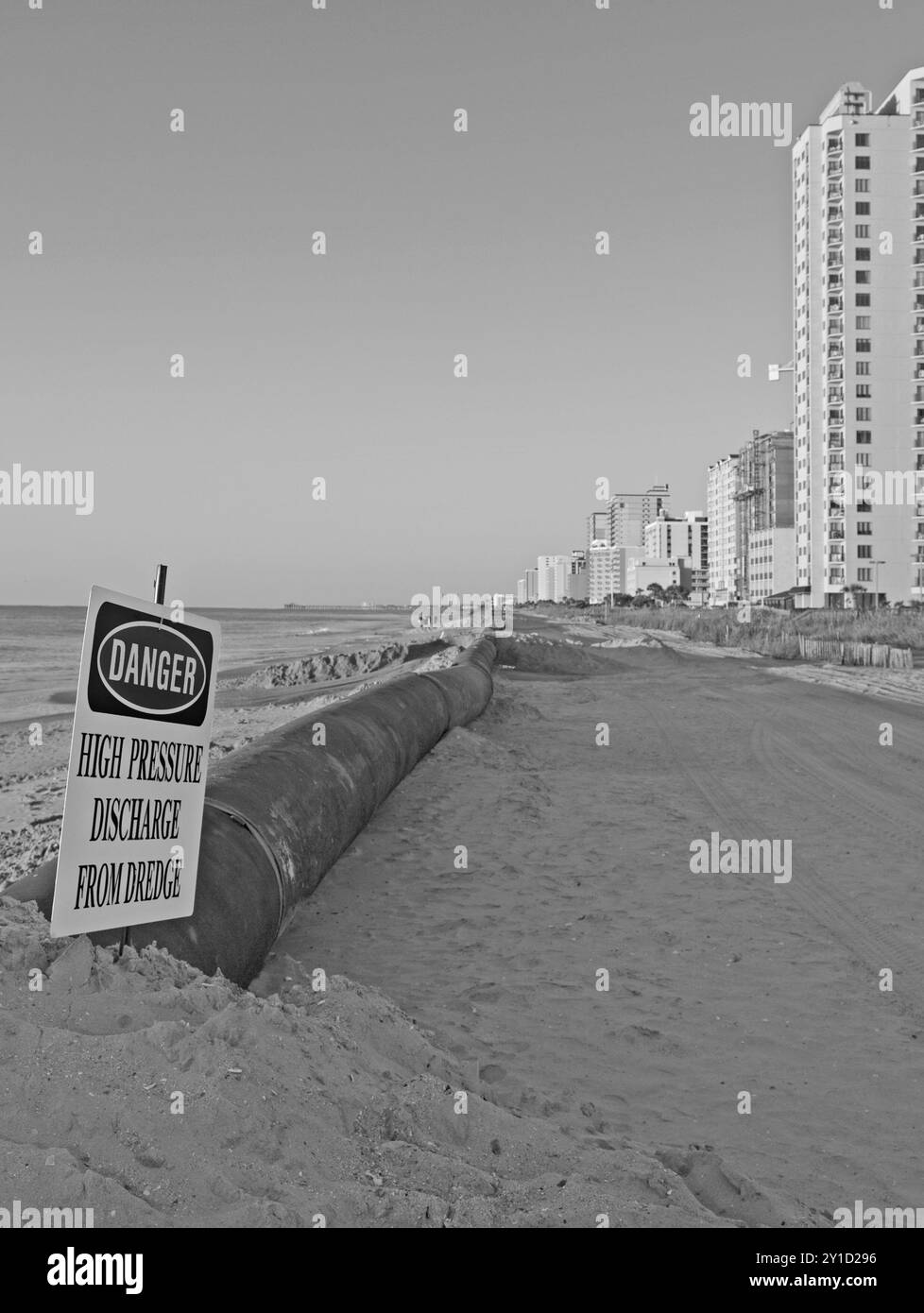 Danger sign warning near dredging pipeline at a beach restoration project in Myrtle Beach, South Carolina, USA. Stock Photohttps://www.alamy.com/image-license-details/?v=1https://www.alamy.com/danger-sign-warning-near-dredging-pipeline-at-a-beach-restoration-project-in-myrtle-beach-south-carolina-usa-image620475106.html
RM2Y1D296–Danger sign warning near dredging pipeline at a beach restoration project in Myrtle Beach, South Carolina, USA.
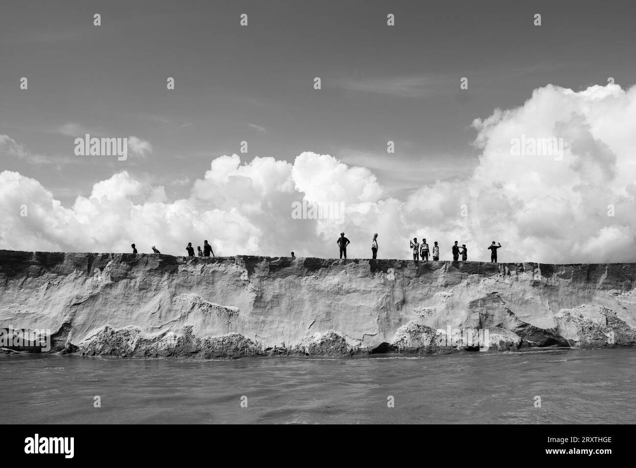
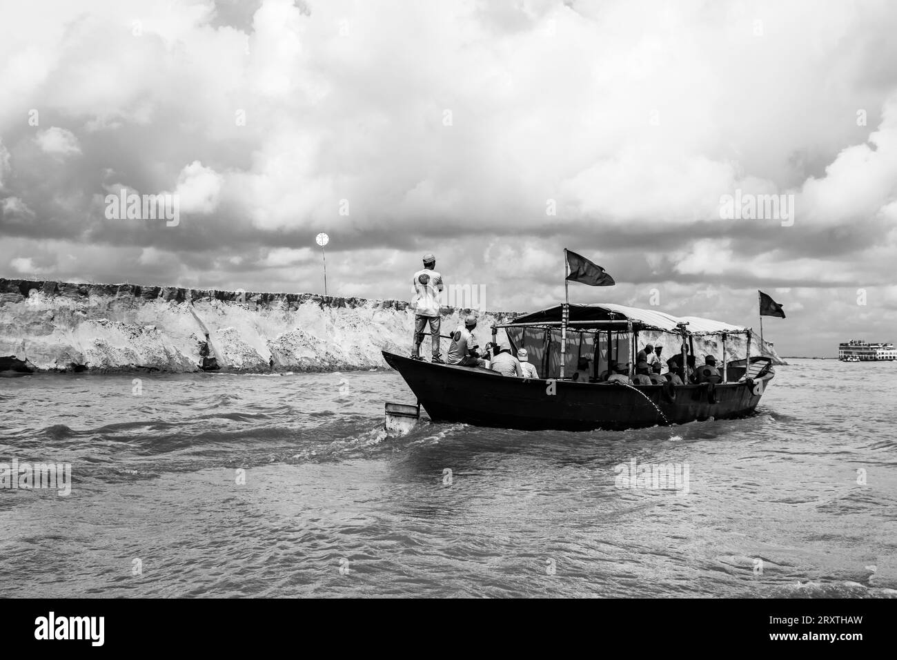 Padma riverbank erosion photography This image was captured on July 25, 2022, from Padma River, Bnagladesh Stock Photohttps://www.alamy.com/image-license-details/?v=1https://www.alamy.com/padma-riverbank-erosion-photography-this-image-was-captured-on-july-25-2022-from-padma-river-bnagladesh-image567253313.html
RF2RXTHAW–Padma riverbank erosion photography This image was captured on July 25, 2022, from Padma River, Bnagladesh
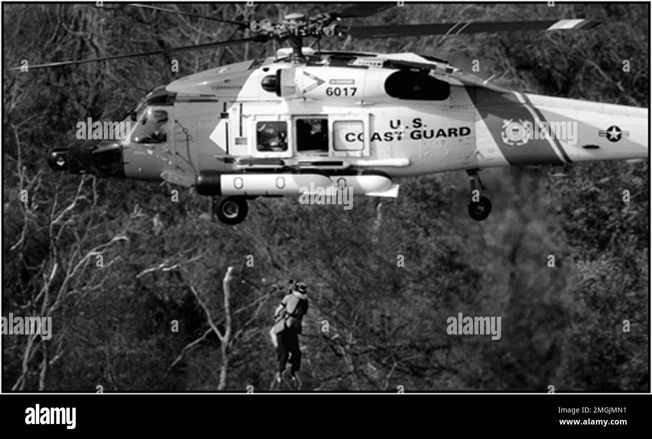 Miscellaneous - Coast Guard Operations - 26-HK-437-17. Hurricane Katrina Stock Photohttps://www.alamy.com/image-license-details/?v=1https://www.alamy.com/miscellaneous-coast-guard-operations-26-hk-437-17-hurricane-katrina-image509346573.html
RM2MGJMN1–Miscellaneous - Coast Guard Operations - 26-HK-437-17. Hurricane Katrina
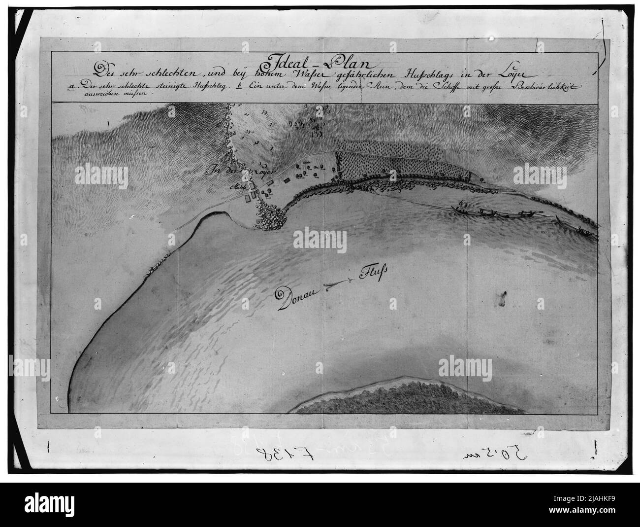 'Ideal plan of the very bad and high water dangerous hoofing in the Loyer' (1st H. 19th century) Stock Photohttps://www.alamy.com/image-license-details/?v=1https://www.alamy.com/ideal-plan-of-the-very-bad-and-high-water-dangerous-hoofing-in-the-loyer-1st-h-19th-century-image471215005.html
RM2JAHKF9–'Ideal plan of the very bad and high water dangerous hoofing in the Loyer' (1st H. 19th century)
 International Day of Forests, World Forestry Day paper craft style.Content with vector Application and Program Stock Vectorhttps://www.alamy.com/image-license-details/?v=1https://www.alamy.com/international-day-of-forests-world-forestry-day-paper-craft-stylecontent-with-vector-application-and-program-image656305149.html
RF3A3N7WH–International Day of Forests, World Forestry Day paper craft style.Content with vector Application and Program
 A flood in Herrin, Williamson County, Illinois, submerged roads and properties, affecting the local community. This event was part of a broader flooding in southern Illinois, causing significant damage and disruption. Stock Photohttps://www.alamy.com/image-license-details/?v=1https://www.alamy.com/a-flood-in-herrin-williamson-county-illinois-submerged-roads-and-properties-affecting-the-local-community-this-event-was-part-of-a-broader-flooding-in-southern-illinois-causing-significant-damage-and-disruption-image657490330.html
RM3A5K7HE–A flood in Herrin, Williamson County, Illinois, submerged roads and properties, affecting the local community. This event was part of a broader flooding in southern Illinois, causing significant damage and disruption.
 . A planning guide for protecting Montana's wetlands and riparian areas . Wetlands; Wetland management; Riparian areas; Riparian areas. program, it directly affects protection of wetlands, and some riparian areas. SAMPs may address such issues as flood control and storm water management, wetlands protection and enhancement, wetland mitigation banks, parks and recreation, environmental enforcement, and more. They can also contained specific policies to guide remediation, enhancement, and protection of the area's natural resources, while simultaneously allowing development in less sensitive area Stock Photohttps://www.alamy.com/image-license-details/?v=1https://www.alamy.com/a-planning-guide-for-protecting-montanas-wetlands-and-riparian-areas-wetlands-wetland-management-riparian-areas-riparian-areas-program-it-directly-affects-protection-of-wetlands-and-some-riparian-areas-samps-may-address-such-issues-as-flood-control-and-storm-water-management-wetlands-protection-and-enhancement-wetland-mitigation-banks-parks-and-recreation-environmental-enforcement-and-more-they-can-also-contained-specific-policies-to-guide-remediation-enhancement-and-protection-of-the-areas-natural-resources-while-simultaneously-allowing-development-in-less-sensitive-area-image233691263.html
RMRG5FGF–. A planning guide for protecting Montana's wetlands and riparian areas . Wetlands; Wetland management; Riparian areas; Riparian areas. program, it directly affects protection of wetlands, and some riparian areas. SAMPs may address such issues as flood control and storm water management, wetlands protection and enhancement, wetland mitigation banks, parks and recreation, environmental enforcement, and more. They can also contained specific policies to guide remediation, enhancement, and protection of the area's natural resources, while simultaneously allowing development in less sensitive area
RF2WXABWH–Flood protection white linear icon for dark theme
 Lettering text CO2 Neutral isolated on white Stock Photohttps://www.alamy.com/image-license-details/?v=1https://www.alamy.com/lettering-text-co2-neutral-isolated-on-white-image425900593.html
RF2FMWCFD–Lettering text CO2 Neutral isolated on white
RF2YWJ8FN–Climate adaptation strategies black line icon. Vector isolated element. Editable stroke.
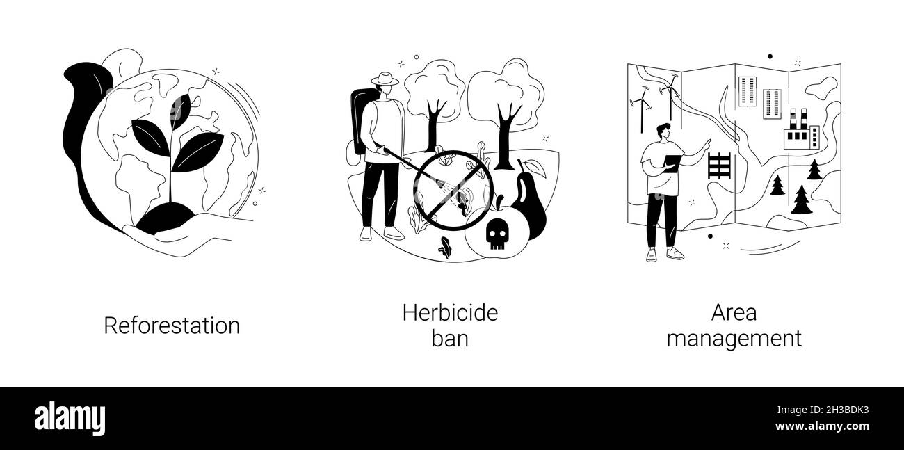 Climate change mitigation abstract concept vector illustrations. Stock Vectorhttps://www.alamy.com/image-license-details/?v=1https://www.alamy.com/climate-change-mitigation-abstract-concept-vector-illustrations-image449565735.html
RF2H3BDK3–Climate change mitigation abstract concept vector illustrations.
RF3CG85DP–Explore 18 Minimal Line-style vector icons inspired by Warming. Perfect for web and app interfaces.
RF2Y13C9N–Line art style icon of a bar graph with an upward arrow indicating increasing co2 emissions
 Co2 emissions are decreasing, symbolizing a positive trend in environmental conservation Stock Vectorhttps://www.alamy.com/image-license-details/?v=1https://www.alamy.com/co2-emissions-are-decreasing-symbolizing-a-positive-trend-in-environmental-conservation-image614416437.html
RF2XKH2C5–Co2 emissions are decreasing, symbolizing a positive trend in environmental conservation
 The USDA facility hosts research focused on climate change, examining how agricultural practices and environmental policies can mitigate its effects on rural communities and ecosystems. Stock Photohttps://www.alamy.com/image-license-details/?v=1https://www.alamy.com/stock-photo-the-usda-facility-hosts-research-focused-on-climate-change-examining-126603973.html
RMH9Y8JD–The USDA facility hosts research focused on climate change, examining how agricultural practices and environmental policies can mitigate its effects on rural communities and ecosystems.
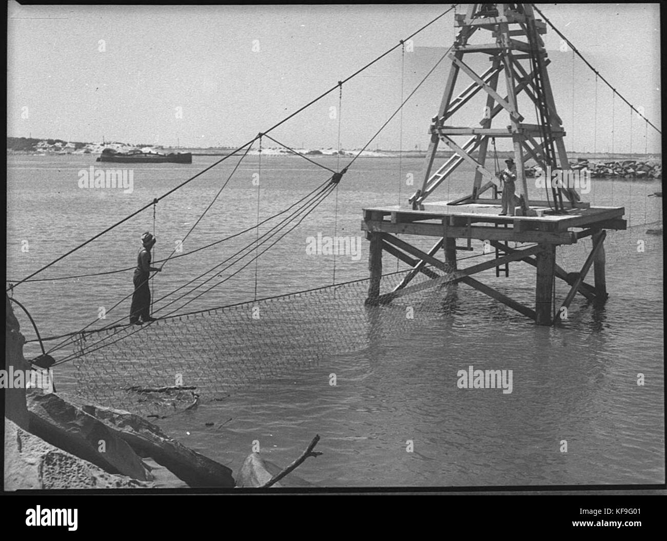 32009 Stockton shark proof net Stock Photohttps://www.alamy.com/image-license-details/?v=1https://www.alamy.com/stock-image-32009-stockton-shark-proof-net-164323265.html
RMKF9G01–32009 Stockton shark proof net
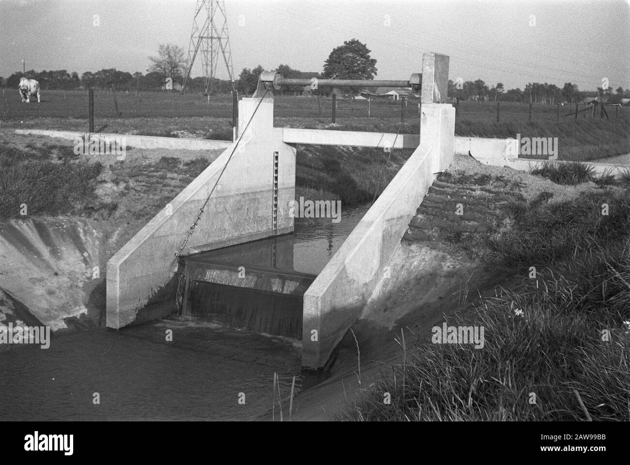 normalization of streams, digging and filling in trenches Date: undated Keywords: digging and filling in trenches, normalization of streams Stock Photohttps://www.alamy.com/image-license-details/?v=1https://www.alamy.com/normalization-of-streams-digging-and-filling-in-trenches-date-undated-keywords-digging-and-filling-in-trenches-normalization-of-streams-image342568335.html
RM2AW99BB–normalization of streams, digging and filling in trenches Date: undated Keywords: digging and filling in trenches, normalization of streams
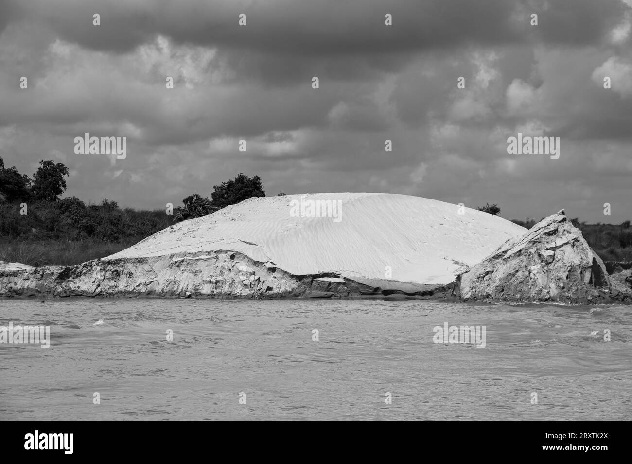 Padma riverbank erosion photography This image was captured on July 25, 2022, from Padma River, Bnagladesh Stock Photohttps://www.alamy.com/image-license-details/?v=1https://www.alamy.com/padma-riverbank-erosion-photography-this-image-was-captured-on-july-25-2022-from-padma-river-bnagladesh-image567254658.html
RF2RXTK2X–Padma riverbank erosion photography This image was captured on July 25, 2022, from Padma River, Bnagladesh
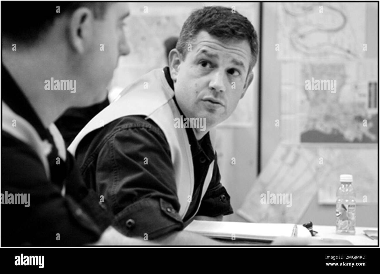 Miscellaneous - Coast Guard Operations - 26-HK-437-28. Hurricane Katrina Stock Photohttps://www.alamy.com/image-license-details/?v=1https://www.alamy.com/miscellaneous-coast-guard-operations-26-hk-437-28-hurricane-katrina-image509346529.html
RM2MGJMKD–Miscellaneous - Coast Guard Operations - 26-HK-437-28. Hurricane Katrina
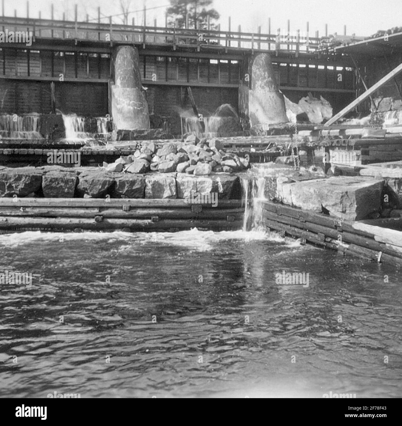 Lottefor's power station. Dust. Stock Photohttps://www.alamy.com/image-license-details/?v=1https://www.alamy.com/lottefors-power-station-dust-image417538915.html
RM2F78F43–Lottefor's power station. Dust.
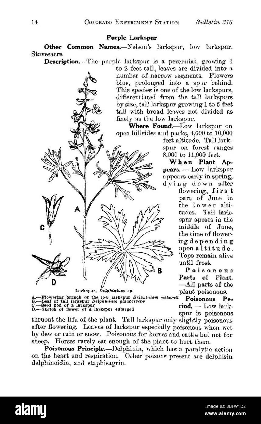 Page 14 covers the mitigation of risks associated with poisonous plants in Colorado, including strategies for preventing contact and managing affected areas. Stock Photohttps://www.alamy.com/image-license-details/?v=1https://www.alamy.com/page-14-covers-the-mitigation-of-risks-associated-with-poisonous-plants-in-colorado-including-strategies-for-preventing-contact-and-managing-affected-areas-image680974142.html
RM3BFW1D2–Page 14 covers the mitigation of risks associated with poisonous plants in Colorado, including strategies for preventing contact and managing affected areas.
 . From North pole to equator: studies of wild life and scenes in many lands. Animal behavior; Birds; Tundras; Ethnology; Birds. COLONISTS AND EXILES IN SIBERIA. 535> out their hearts to him and beg for a mitigation of punishment. The families of a criminal condemned to the mines are also allowed to follow him, or he is not prevented from forming family ties. If he is bound to humanity in this way, he often, very often, becomes.. Kg. 77.—Types of Siberian Convicts—"Condemned to the Mines" penitent, and with repentance awakens the hope that the past may be forgotten, followed by the Stock Photohttps://www.alamy.com/image-license-details/?v=1https://www.alamy.com/from-north-pole-to-equator-studies-of-wild-life-and-scenes-in-many-lands-animal-behavior-birds-tundras-ethnology-birds-colonists-and-exiles-in-siberia-535gt-out-their-hearts-to-him-and-beg-for-a-mitigation-of-punishment-the-families-of-a-criminal-condemned-to-the-mines-are-also-allowed-to-follow-him-or-he-is-not-prevented-from-forming-family-ties-if-he-is-bound-to-humanity-in-this-way-he-often-very-often-becomes-kg-77types-of-siberian-convictsquotcondemned-to-the-minesquot-penitent-and-with-repentance-awakens-the-hope-that-the-past-may-be-forgotten-followed-by-the-image231978215.html
RMRDBEG7–. From North pole to equator: studies of wild life and scenes in many lands. Animal behavior; Birds; Tundras; Ethnology; Birds. COLONISTS AND EXILES IN SIBERIA. 535> out their hearts to him and beg for a mitigation of punishment. The families of a criminal condemned to the mines are also allowed to follow him, or he is not prevented from forming family ties. If he is bound to humanity in this way, he often, very often, becomes.. Kg. 77.—Types of Siberian Convicts—"Condemned to the Mines" penitent, and with repentance awakens the hope that the past may be forgotten, followed by the
RF2WX6ME9–Flood protection linear icon
 This image shows a U.S. Department of Agriculture initiative focused on environmental science and policy. The USDA works to implement sustainable agricultural practices and policies that align with environmental protection and climate change mitigation, supporting long-term sustainability efforts in the agricultural sector. Stock Photohttps://www.alamy.com/image-license-details/?v=1https://www.alamy.com/stock-photo-this-image-shows-a-us-department-of-agriculture-initiative-focused-126791712.html
RMHA7T3C–This image shows a U.S. Department of Agriculture initiative focused on environmental science and policy. The USDA works to implement sustainable agricultural practices and policies that align with environmental protection and climate change mitigation, supporting long-term sustainability efforts in the agricultural sector.
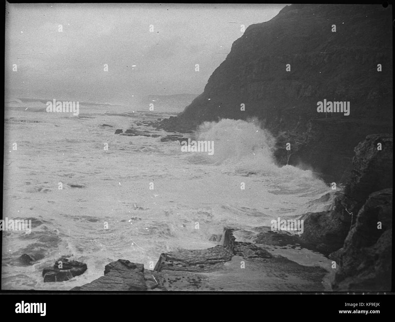 31207 Damaged beaches Stock Photohttps://www.alamy.com/image-license-details/?v=1https://www.alamy.com/stock-image-31207-damaged-beaches-164322219.html
RMKF9EJK–31207 Damaged beaches
 leveling, floodplains Date: undated Location: Gelderland, Wamel Keywords: leveling, floodplains Stock Photohttps://www.alamy.com/image-license-details/?v=1https://www.alamy.com/leveling-floodplains-date-undated-location-gelderland-wamel-keywords-leveling-floodplains-image341559868.html
RM2ARKB2M–leveling, floodplains Date: undated Location: Gelderland, Wamel Keywords: leveling, floodplains
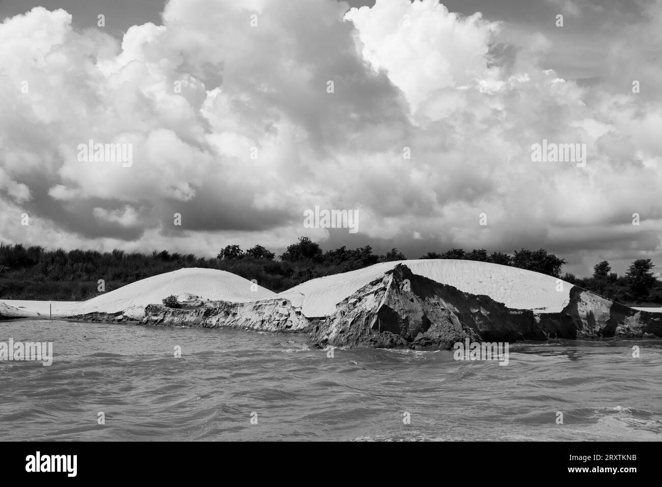 Padma riverbank erosion photography This image was captured on July 25, 2022, from Padma River, Bnagladesh Stock Photohttps://www.alamy.com/image-license-details/?v=1https://www.alamy.com/padma-riverbank-erosion-photography-this-image-was-captured-on-july-25-2022-from-padma-river-bnagladesh-image567255175.html
RF2RXTKNB–Padma riverbank erosion photography This image was captured on July 25, 2022, from Padma River, Bnagladesh
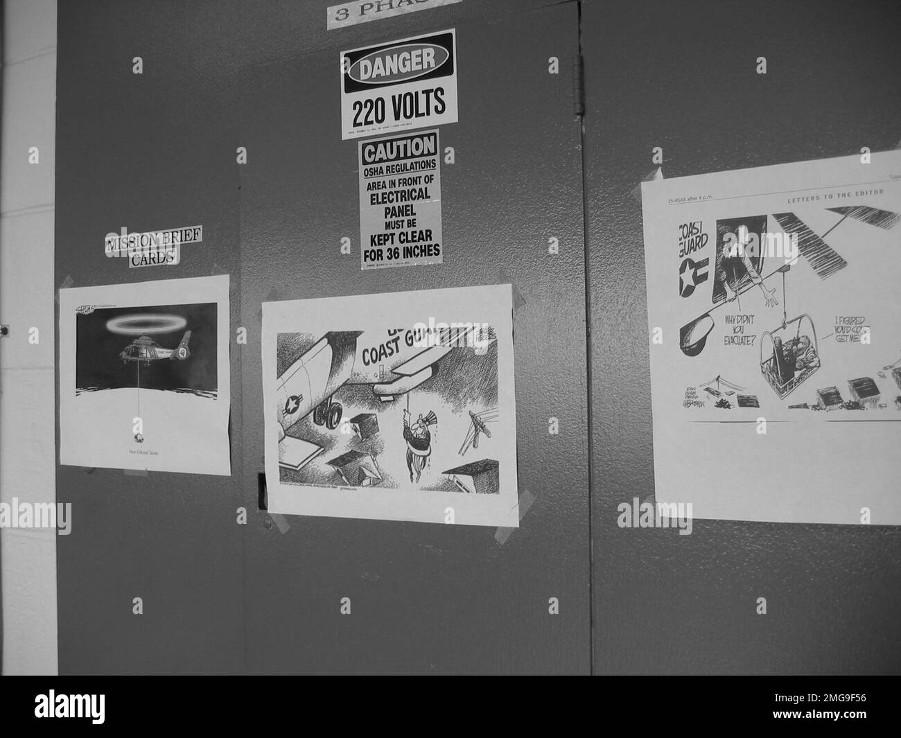 Coast Guard Structures - Air Stations - New Orleans - 26-HK-95-122. AIRSTA NOLA--CG artwork on electric panels. Hurricane Katrina Stock Photohttps://www.alamy.com/image-license-details/?v=1https://www.alamy.com/coast-guard-structures-air-stations-new-orleans-26-hk-95-122-airsta-nola-cg-artwork-on-electric-panels-hurricane-katrina-image509144642.html
RM2MG9F56–Coast Guard Structures - Air Stations - New Orleans - 26-HK-95-122. AIRSTA NOLA--CG artwork on electric panels. Hurricane Katrina
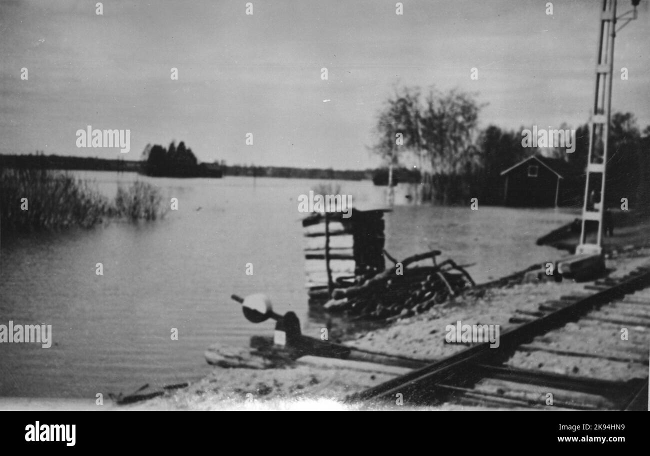 Flood. The water runs 1.5 meters above the roadway Stock Photohttps://www.alamy.com/image-license-details/?v=1https://www.alamy.com/flood-the-water-runs-15-meters-above-the-roadway-image487523941.html
RM2K94HN9–Flood. The water runs 1.5 meters above the roadway
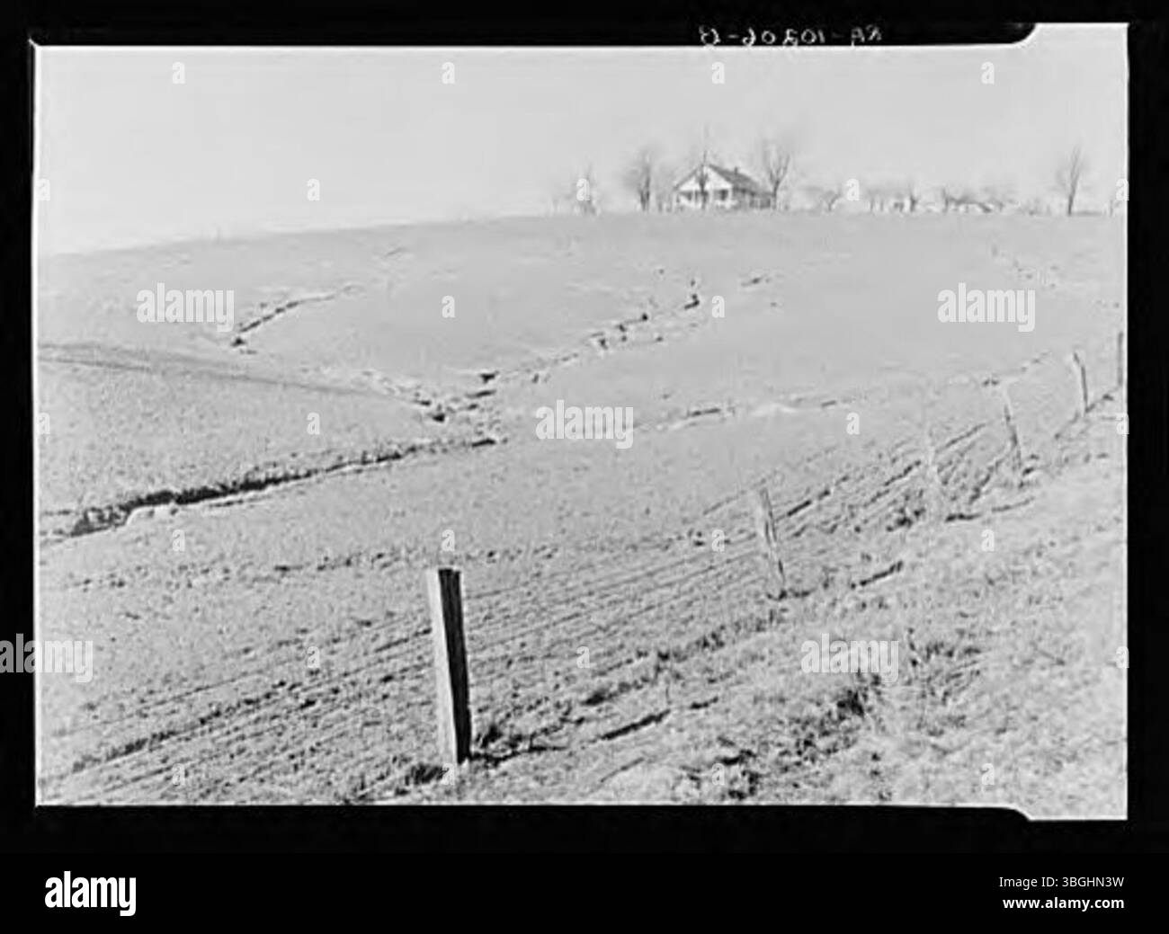 Soil erosion refers to the process by which the topsoil is worn away, often by wind, water, or human activity. This phenomenon can degrade agricultural land and affect local ecosystems. It is a significant environmental concern, particularly in areas with poor land management practices. Stock Photohttps://www.alamy.com/image-license-details/?v=1https://www.alamy.com/soil-erosion-refers-to-the-process-by-which-the-topsoil-is-worn-away-often-by-wind-water-or-human-activity-this-phenomenon-can-degrade-agricultural-land-and-affect-local-ecosystems-it-is-a-significant-environmental-concern-particularly-in-areas-with-poor-land-management-practices-image681428605.html
RM3BGHN3W–Soil erosion refers to the process by which the topsoil is worn away, often by wind, water, or human activity. This phenomenon can degrade agricultural land and affect local ecosystems. It is a significant environmental concern, particularly in areas with poor land management practices.
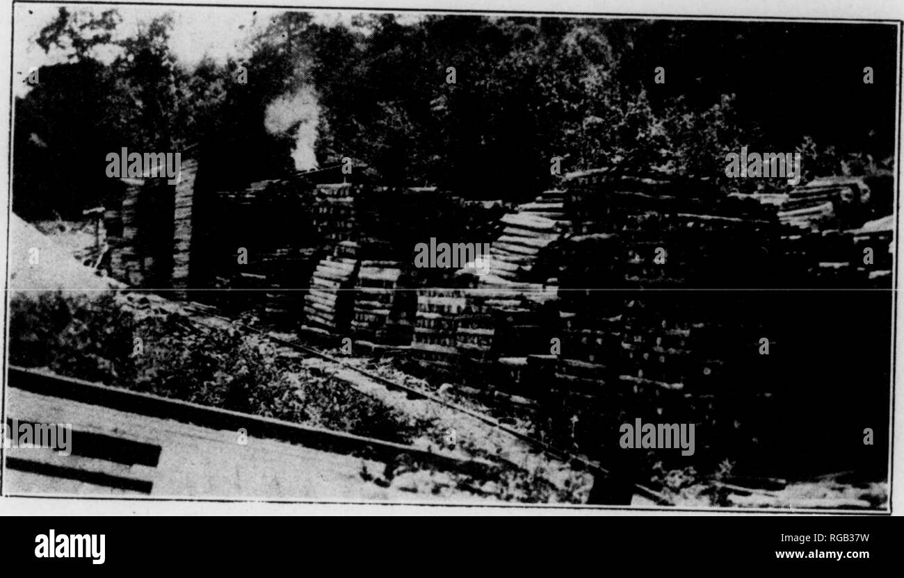 . Bulletin (Pennsylvania Department of Forests and Waters), no. 40-45. Forests and forestry. Ill 11' I*' h A TliniFTY 1'I.AXT.TI0S I'llOTECIED FKOM riltE S'V^'^r'^f'*'"'"''" ''â '" â '"""' '"^⢠«1'P"'"'^'' '"^'^I forest fire war- dens by the State and have thus had the proper authoritv conferred up- transle'ntr,"o?'" '^ T'^'r"' *" """ '^^^'""â¢"'â¢- '>""*«- -'' "ther lean on roLl 'Tf , "'*" ^''' '^"' "" "'''^* «- -«--*-' PO'^te'^- clean Stock Photohttps://www.alamy.com/image-license-details/?v=1https://www.alamy.com/bulletin-pennsylvania-department-of-forests-and-waters-no-40-45-forests-and-forestry-ill-11-i-h-a-tlinifty-1iaxtti0s-illotecied-fkom-rilte-svrfquotquotquot-quot-quotquotquot-quot-1pquotquot-quoti-forest-fire-war-dens-by-the-state-and-have-thus-had-the-proper-authoritv-conferred-up-translentrquotoquot-trquot-quot-quotquotquot-quotquotquot-gtquotquot-quotther-lean-on-roll-tf-quotquot-quot-quotquot-quot-pote-clean-image233813325.html
RMRGB37W–. Bulletin (Pennsylvania Department of Forests and Waters), no. 40-45. Forests and forestry. Ill 11' I*' h A TliniFTY 1'I.AXT.TI0S I'llOTECIED FKOM riltE S'V^'^r'^f'*'"'"''" ''â '" â '"""' '"^⢠«1'P"'"'^'' '"^'^I forest fire war- dens by the State and have thus had the proper authoritv conferred up- transle'ntr,"o?'" '^ T'^'r"' *" """ '^^^'""â¢"'â¢- '>""*«- -'' "ther lean on roLl 'Tf , "'*" ^''' '^"' "" "'''^* «- -«--*-' PO'^te'^- clean
RF2WXAC5X–Flood protection black glyph icon
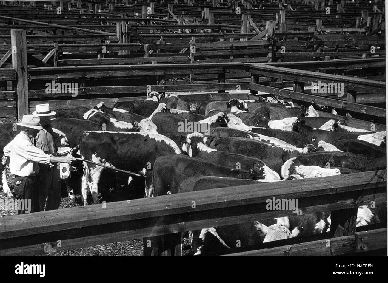 A Department of Agriculture initiative focused on sustainable practices and environmental science, highlighting the intersection of politics and natural resource management. Stock Photohttps://www.alamy.com/image-license-details/?v=1https://www.alamy.com/stock-photo-a-department-of-agriculture-initiative-focused-on-sustainable-practices-126791273.html
RMHA7RFN–A Department of Agriculture initiative focused on sustainable practices and environmental science, highlighting the intersection of politics and natural resource management.
 33224 Maitland flood Stock Photohttps://www.alamy.com/image-license-details/?v=1https://www.alamy.com/stock-image-33224-maitland-flood-164327688.html
RMKF9NJ0–33224 Maitland flood
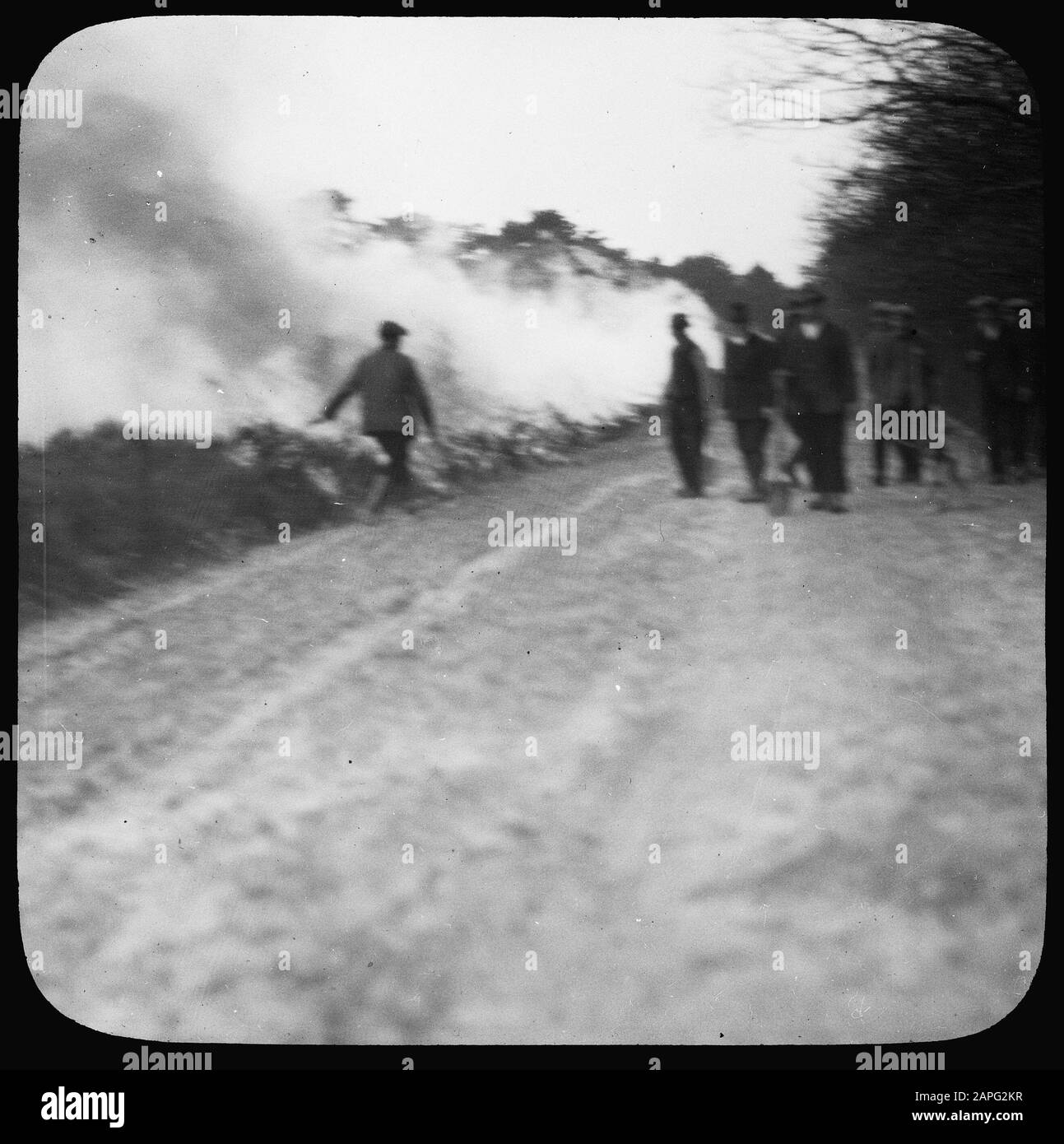 forestry, forest fire, counterfire Date: undated Keywords: forestry, forest fire, counterfire Institution name: Planks Wambuis Stock Photohttps://www.alamy.com/image-license-details/?v=1https://www.alamy.com/forestry-forest-fire-counterfire-date-undated-keywords-forestry-forest-fire-counterfire-institution-name-planks-wambuis-image340872779.html
RM2APG2KR–forestry, forest fire, counterfire Date: undated Keywords: forestry, forest fire, counterfire Institution name: Planks Wambuis
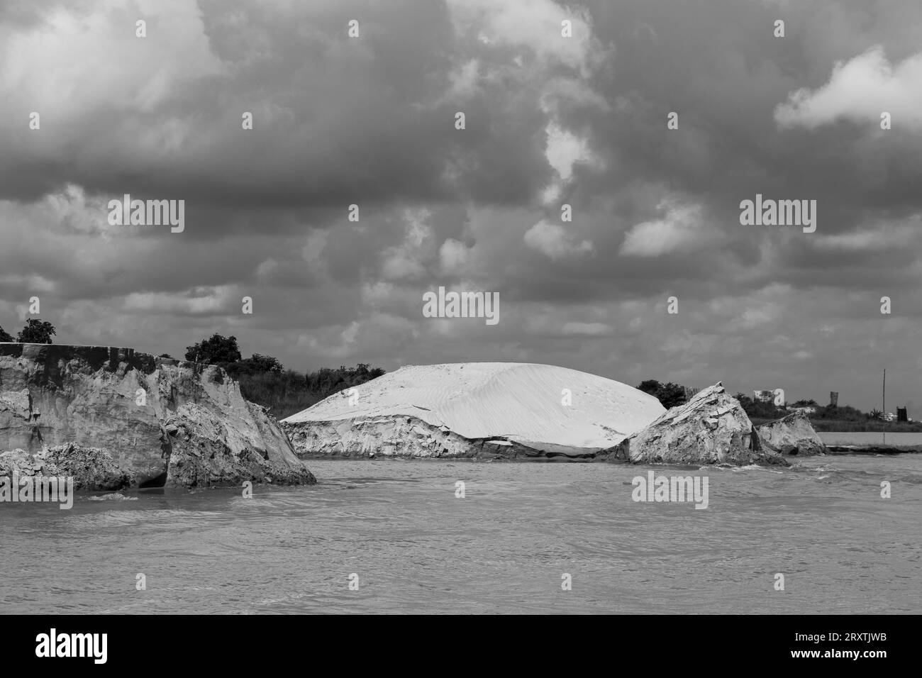 Padma riverbank erosion photography This image was captured on July 25, 2022, from Padma River, Bnagladesh Stock Photohttps://www.alamy.com/image-license-details/?v=1https://www.alamy.com/padma-riverbank-erosion-photography-this-image-was-captured-on-july-25-2022-from-padma-river-bnagladesh-image567254503.html
RF2RXTJWB–Padma riverbank erosion photography This image was captured on July 25, 2022, from Padma River, Bnagladesh
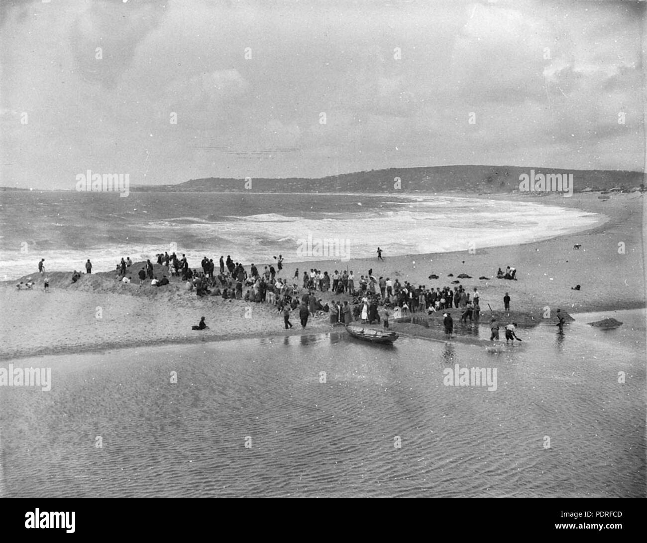 131 SLNSW 10543 Flood control ditch dug from the Lake to the Beach Narrabeen Stock Photohttps://www.alamy.com/image-license-details/?v=1https://www.alamy.com/131-slnsw-10543-flood-control-ditch-dug-from-the-lake-to-the-beach-narrabeen-image215031949.html
RMPDRFCD–131 SLNSW 10543 Flood control ditch dug from the Lake to the Beach Narrabeen
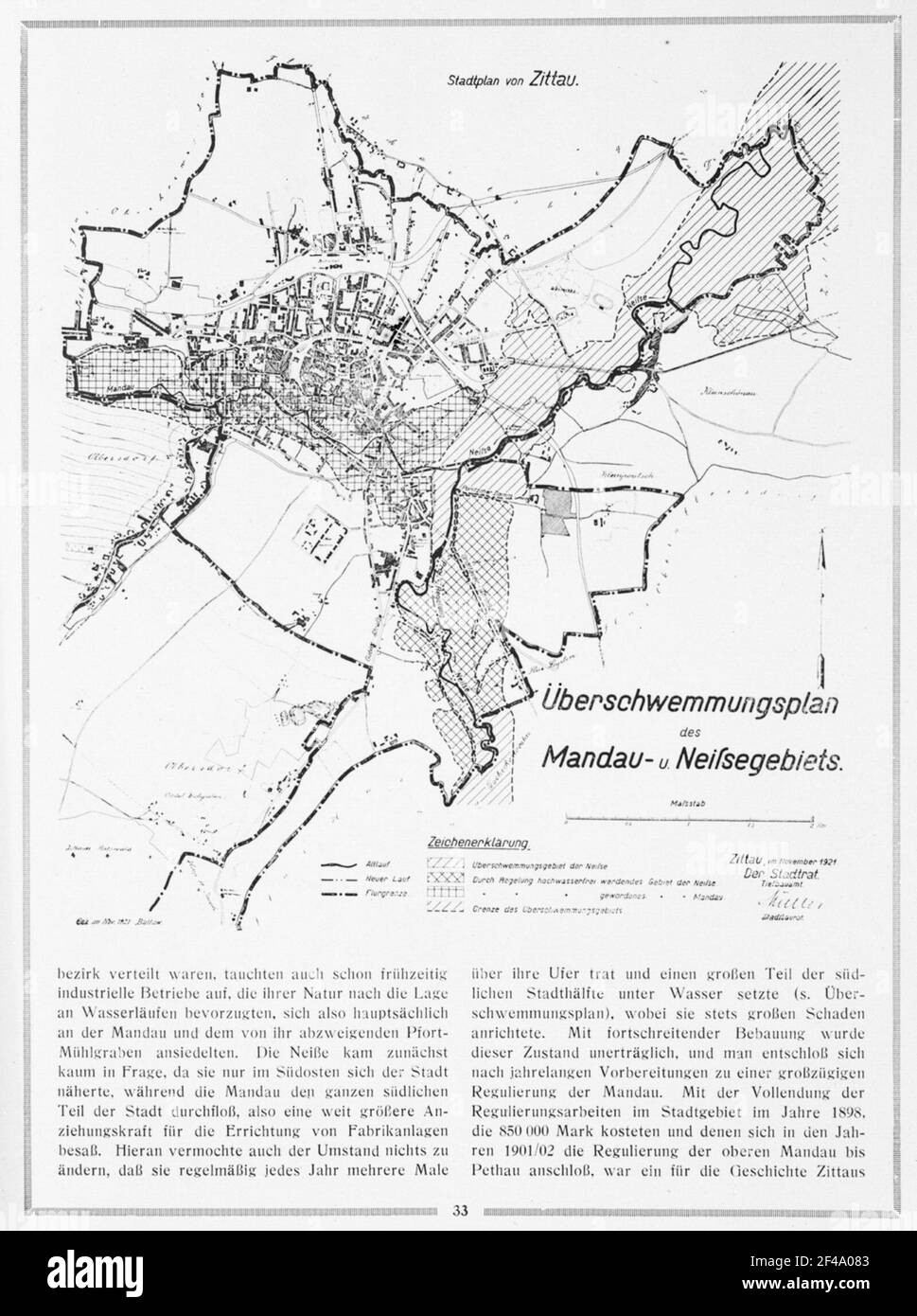 Zittau, flooding plan of the Mandau Neißengebietes Stock Photohttps://www.alamy.com/image-license-details/?v=1https://www.alamy.com/zittau-flooding-plan-of-the-mandau-neiengebietes-image415727203.html
RM2F4A083–Zittau, flooding plan of the Mandau Neißengebietes
 In this section, the 1898 document discusses the effects of seepage and evaporation on water loss from reservoirs, focusing on the implications for water management and storage during that time. Stock Photohttps://www.alamy.com/image-license-details/?v=1https://www.alamy.com/in-this-section-the-1898-document-discusses-the-effects-of-seepage-and-evaporation-on-water-loss-from-reservoirs-focusing-on-the-implications-for-water-management-and-storage-during-that-time-image681011755.html
RM3BFXNCB–In this section, the 1898 document discusses the effects of seepage and evaporation on water loss from reservoirs, focusing on the implications for water management and storage during that time.
![. Les mauvaises herbes du Canada [microforme]. Mauvaises herbes; Botanique; Weeds; Botany. 4 h .lïi H Ml ORTIt ROYALE If. Please note that these images are extracted from scanned page images that may have been digitally enhanced for readability - coloration and appearance of these illustrations may not perfectly resemble the original work.. Clark, George H. (George Harold), né 1872; Fletcher, James, 1852-1908; Canada. Ministère de l'agriculture. Division des semences. Ottawa : Impr. du gouvernement Stock Photo . Les mauvaises herbes du Canada [microforme]. Mauvaises herbes; Botanique; Weeds; Botany. 4 h .lïi H Ml ORTIt ROYALE If. Please note that these images are extracted from scanned page images that may have been digitally enhanced for readability - coloration and appearance of these illustrations may not perfectly resemble the original work.. Clark, George H. (George Harold), né 1872; Fletcher, James, 1852-1908; Canada. Ministère de l'agriculture. Division des semences. Ottawa : Impr. du gouvernement Stock Photo](https://c8.alamy.com/comp/REMK9M/les-mauvaises-herbes-du-canada-microforme-mauvaises-herbes-botanique-weeds-botany-4-h-li-h-ml-ortit-royale-if-please-note-that-these-images-are-extracted-from-scanned-page-images-that-may-have-been-digitally-enhanced-for-readability-coloration-and-appearance-of-these-illustrations-may-not-perfectly-resemble-the-original-work-clark-george-h-george-harold-n-1872-fletcher-james-1852-1908-canada-ministre-de-lagriculture-division-des-semences-ottawa-impr-du-gouvernement-REMK9M.jpg) . Les mauvaises herbes du Canada [microforme]. Mauvaises herbes; Botanique; Weeds; Botany. 4 h .lïi H Ml ORTIt ROYALE If. Please note that these images are extracted from scanned page images that may have been digitally enhanced for readability - coloration and appearance of these illustrations may not perfectly resemble the original work.. Clark, George H. (George Harold), né 1872; Fletcher, James, 1852-1908; Canada. Ministère de l'agriculture. Division des semences. Ottawa : Impr. du gouvernement Stock Photohttps://www.alamy.com/image-license-details/?v=1https://www.alamy.com/les-mauvaises-herbes-du-canada-microforme-mauvaises-herbes-botanique-weeds-botany-4-h-li-h-ml-ortit-royale-if-please-note-that-these-images-are-extracted-from-scanned-page-images-that-may-have-been-digitally-enhanced-for-readability-coloration-and-appearance-of-these-illustrations-may-not-perfectly-resemble-the-original-work-clark-george-h-george-harold-n-1872-fletcher-james-1852-1908-canada-ministre-de-lagriculture-division-des-semences-ottawa-impr-du-gouvernement-image232794176.html
. Les mauvaises herbes du Canada [microforme]. Mauvaises herbes; Botanique; Weeds; Botany. 4 h .lïi H Ml ORTIt ROYALE If. Please note that these images are extracted from scanned page images that may have been digitally enhanced for readability - coloration and appearance of these illustrations may not perfectly resemble the original work.. Clark, George H. (George Harold), né 1872; Fletcher, James, 1852-1908; Canada. Ministère de l'agriculture. Division des semences. Ottawa : Impr. du gouvernement Stock Photohttps://www.alamy.com/image-license-details/?v=1https://www.alamy.com/les-mauvaises-herbes-du-canada-microforme-mauvaises-herbes-botanique-weeds-botany-4-h-li-h-ml-ortit-royale-if-please-note-that-these-images-are-extracted-from-scanned-page-images-that-may-have-been-digitally-enhanced-for-readability-coloration-and-appearance-of-these-illustrations-may-not-perfectly-resemble-the-original-work-clark-george-h-george-harold-n-1872-fletcher-james-1852-1908-canada-ministre-de-lagriculture-division-des-semences-ottawa-impr-du-gouvernement-image232794176.htmlRMREMK9M–. Les mauvaises herbes du Canada [microforme]. Mauvaises herbes; Botanique; Weeds; Botany. 4 h .lïi H Ml ORTIt ROYALE If. Please note that these images are extracted from scanned page images that may have been digitally enhanced for readability - coloration and appearance of these illustrations may not perfectly resemble the original work.. Clark, George H. (George Harold), né 1872; Fletcher, James, 1852-1908; Canada. Ministère de l'agriculture. Division des semences. Ottawa : Impr. du gouvernement
 This image commemorates the USDA's 150th Anniversary, showcasing the agency's significant role in agricultural policies, food security, and environmental science through various programs aimed at promoting sustainable agricultural practices. Stock Photohttps://www.alamy.com/image-license-details/?v=1https://www.alamy.com/stock-photo-this-image-commemorates-the-usdas-150th-anniversary-showcasing-the-126792649.html
RMHA7W8W–This image commemorates the USDA's 150th Anniversary, showcasing the agency's significant role in agricultural policies, food security, and environmental science through various programs aimed at promoting sustainable agricultural practices.
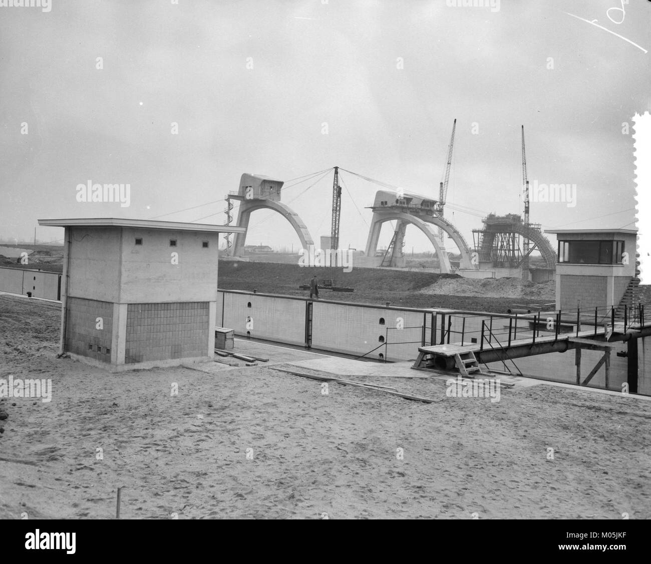 This title refers to the construction of the Lek-Hagestein dam complex in the Netherlands, a key infrastructure project aimed at flood control and water management in the region. The project plays a crucial role in the country's extensive network of water management systems. Stock Photohttps://www.alamy.com/image-license-details/?v=1https://www.alamy.com/stock-photo-this-title-refers-to-the-construction-of-the-lek-hagestein-dam-complex-172228099.html
RMM05JKF–This title refers to the construction of the Lek-Hagestein dam complex in the Netherlands, a key infrastructure project aimed at flood control and water management in the region. The project plays a crucial role in the country's extensive network of water management systems.
 for permeable erosion water Date: undated Location: Iran Keywords: cars, bridges Personal name: karkheh-dam Stock Photohttps://www.alamy.com/image-license-details/?v=1https://www.alamy.com/for-permeable-erosion-water-date-undated-location-iran-keywords-cars-bridges-personal-name-karkheh-dam-image341188896.html
RM2AR2DWM–for permeable erosion water Date: undated Location: Iran Keywords: cars, bridges Personal name: karkheh-dam
 Padma riverbank erosion photography This image was captured on July 25, 2022, from Padma River, Bnagladesh Stock Photohttps://www.alamy.com/image-license-details/?v=1https://www.alamy.com/padma-riverbank-erosion-photography-this-image-was-captured-on-july-25-2022-from-padma-river-bnagladesh-image567253470.html
RF2RXTHGE–Padma riverbank erosion photography This image was captured on July 25, 2022, from Padma River, Bnagladesh
 9 Brundtland en-112 Stock Photohttps://www.alamy.com/image-license-details/?v=1https://www.alamy.com/9-brundtland-en-112-image208046140.html
RMP2D8Y8–9 Brundtland en-112
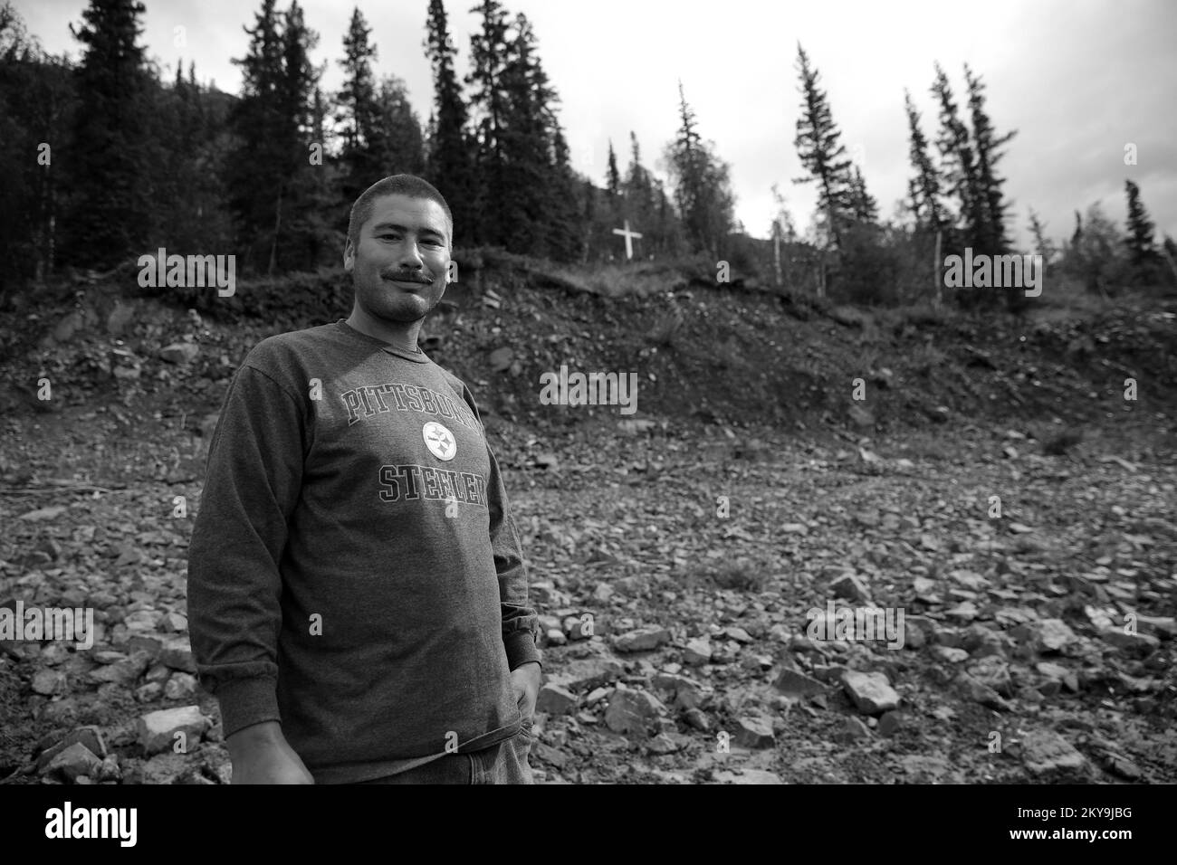 Circle, AK, July 16, 2014 Tribe member Jack Boyle visits the sacred Athabaskan burial ground after severe flooding has undermined the intergrity of the riparian coridor. FEMA, The State of Alaska and the Tribal Entity of Circle are working together to mitigate further future damages to the property. Adam DuBrowa/ FEMA. Alaska Flooding. Photographs Relating to Disasters and Emergency Management Programs, Activities, and Officials Stock Photohttps://www.alamy.com/image-license-details/?v=1https://www.alamy.com/circle-ak-july-16-2014-tribe-member-jack-boyle-visits-the-sacred-athabaskan-burial-ground-after-severe-flooding-has-undermined-the-intergrity-of-the-riparian-coridor-fema-the-state-of-alaska-and-the-tribal-entity-of-circle-are-working-together-to-mitigate-further-future-damages-to-the-property-adam-dubrowa-fema-alaska-flooding-photographs-relating-to-disasters-and-emergency-management-programs-activities-and-officials-image498698020.html
RM2KY9JBG–Circle, AK, July 16, 2014 Tribe member Jack Boyle visits the sacred Athabaskan burial ground after severe flooding has undermined the intergrity of the riparian coridor. FEMA, The State of Alaska and the Tribal Entity of Circle are working together to mitigate further future damages to the property. Adam DuBrowa/ FEMA. Alaska Flooding. Photographs Relating to Disasters and Emergency Management Programs, Activities, and Officials
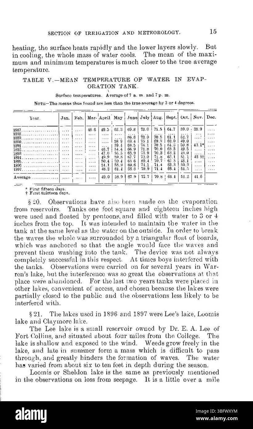 This page from the May 1898 document highlights the ongoing issue of water loss from reservoirs caused by seepage and evaporation. It examines the impact on water conservation and management strategies. Stock Photohttps://www.alamy.com/image-license-details/?v=1https://www.alamy.com/this-page-from-the-may-1898-document-highlights-the-ongoing-issue-of-water-loss-from-reservoirs-caused-by-seepage-and-evaporation-it-examines-the-impact-on-water-conservation-and-management-strategies-image680994152.html
RM3BFWXYM–This page from the May 1898 document highlights the ongoing issue of water loss from reservoirs caused by seepage and evaporation. It examines the impact on water conservation and management strategies.
 . Railroad forest fire protection. Forest fires; Fire prevention; Fire extinction. •^0 "WILLAMETTE IRON AND STEEL "WORKS. SEQUOIA SPARK ARRESTER This Arrester is guaranteed the most efficient spark catcher built. It is light weight, projects above the stack but six inches, and readily put on or taken off. Made for any size stack and adapted for use on logging and hoisting engines, locomotives, mill stacks, steamboats, etc. NET PRICE LIST F'or stack less than 12-inch diameter $22.50 For stack from 12-inch to 1 7-inch diameter 27.50 For stack from 1 8-inch to 23-inch diameter 35.00 For Stock Photohttps://www.alamy.com/image-license-details/?v=1https://www.alamy.com/railroad-forest-fire-protection-forest-fires-fire-prevention-fire-extinction-0-quotwillamette-iron-and-steel-quotworks-sequoia-spark-arrester-this-arrester-is-guaranteed-the-most-efficient-spark-catcher-built-it-is-light-weight-projects-above-the-stack-but-six-inches-and-readily-put-on-or-taken-off-made-for-any-size-stack-and-adapted-for-use-on-logging-and-hoisting-engines-locomotives-mill-stacks-steamboats-etc-net-price-list-for-stack-less-than-12-inch-diameter-2250-for-stack-from-12-inch-to-1-7-inch-diameter-2750-for-stack-from-1-8-inch-to-23-inch-diameter-3500-for-image231912662.html
RMRD8EY2–. Railroad forest fire protection. Forest fires; Fire prevention; Fire extinction. •^0 "WILLAMETTE IRON AND STEEL "WORKS. SEQUOIA SPARK ARRESTER This Arrester is guaranteed the most efficient spark catcher built. It is light weight, projects above the stack but six inches, and readily put on or taken off. Made for any size stack and adapted for use on logging and hoisting engines, locomotives, mill stacks, steamboats, etc. NET PRICE LIST F'or stack less than 12-inch diameter $22.50 For stack from 12-inch to 1 7-inch diameter 27.50 For stack from 1 8-inch to 23-inch diameter 35.00 For
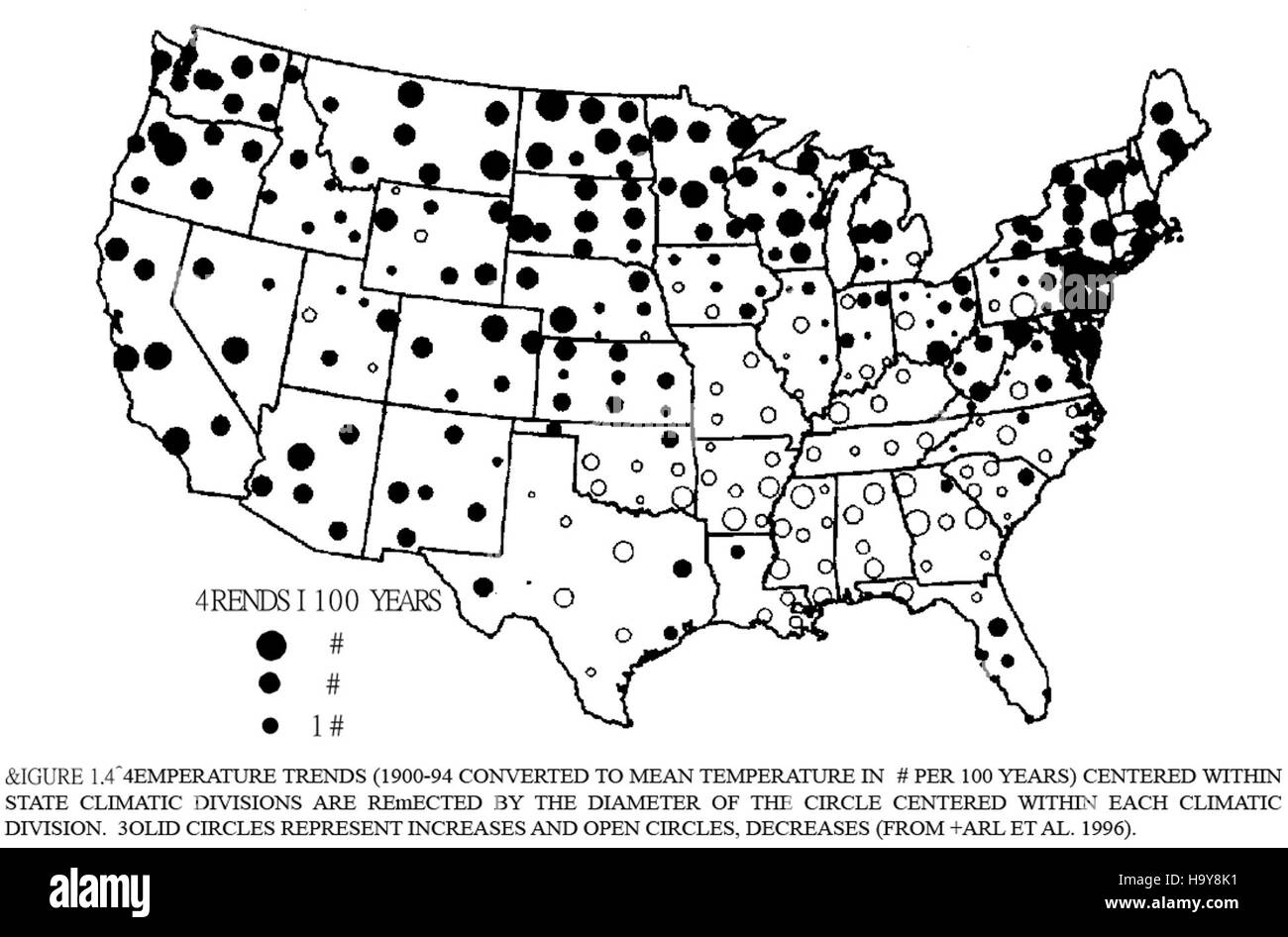 This image presents a visual representation of climate change, highlighting its effects on natural landscapes. The graphic emphasizes the importance of environmental conservation and the role of National Parks in mitigating climate change impacts. Stock Photohttps://www.alamy.com/image-license-details/?v=1https://www.alamy.com/stock-photo-this-image-presents-a-visual-representation-of-climate-change-highlighting-126603989.html
RMH9Y8K1–This image presents a visual representation of climate change, highlighting its effects on natural landscapes. The graphic emphasizes the importance of environmental conservation and the role of National Parks in mitigating climate change impacts.
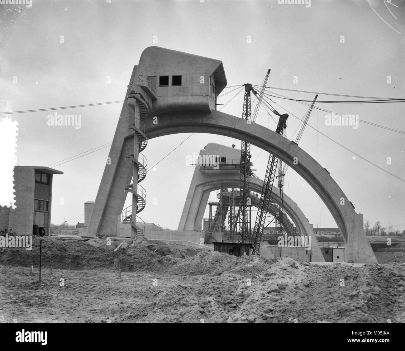 The construction of the Lek-Hagestein dam complex in the Netherlands, part of the nation's water management infrastructure, designed to control the flow of the Lek River and prevent flooding in the surrounding areas. Stock Photohttps://www.alamy.com/image-license-details/?v=1https://www.alamy.com/stock-photo-the-construction-of-the-lek-hagestein-dam-complex-in-the-netherlands-172228094.html
RMM05JKA–The construction of the Lek-Hagestein dam complex in the Netherlands, part of the nation's water management infrastructure, designed to control the flow of the Lek River and prevent flooding in the surrounding areas.
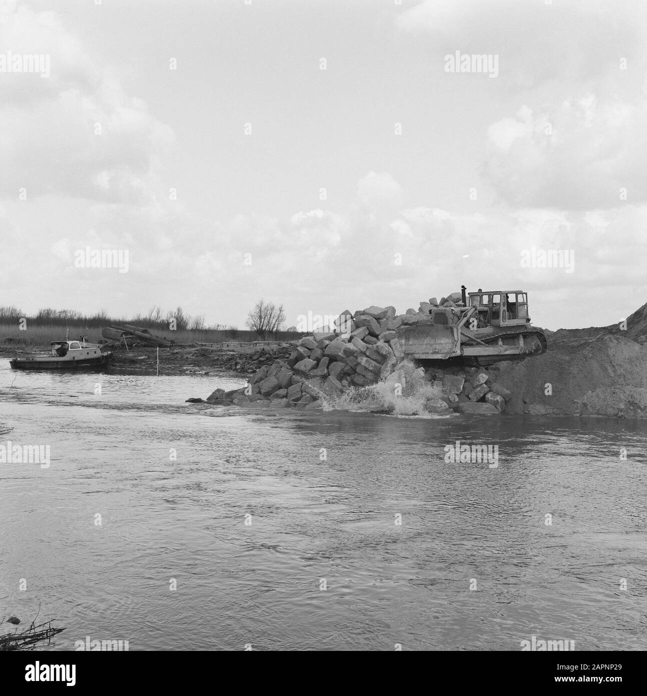 creek closures, narrowing, hole of line north n1 Date: 1968 Keywords: creek closures, narrowing Personal name: hole of line north n1 Stock Photohttps://www.alamy.com/image-license-details/?v=1https://www.alamy.com/creek-closures-narrowing-hole-of-line-north-n1-date-1968-keywords-creek-closures-narrowing-personal-name-hole-of-line-north-n1-image340997729.html
RM2APNP29–creek closures, narrowing, hole of line north n1 Date: 1968 Keywords: creek closures, narrowing Personal name: hole of line north n1
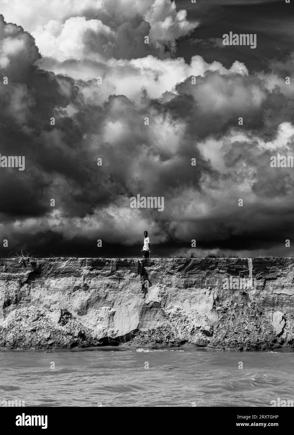 Padma Riverbank erosion photography from Padma River, Bangladesh Stock Photohttps://www.alamy.com/image-license-details/?v=1https://www.alamy.com/padma-riverbank-erosion-photography-from-padma-river-bangladesh-image567252722.html
RF2RXTGHP–Padma Riverbank erosion photography from Padma River, Bangladesh
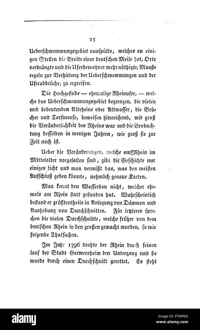 . Der Rhein von Basel bis Mannheim mit Begründung der Nothwendigkeit, diesen Strom zu regulieren Volltext bei de.: Der Rhein von Basel bis Mannheim . Deutsch: Dies ist ein Scan des historischen Buches English: This is a scan of the historical document . N/A 120 De Der Rhein von Basel bis Mannheim (Tulla) 026 Stock Photohttps://www.alamy.com/image-license-details/?v=1https://www.alamy.com/der-rhein-von-basel-bis-mannheim-mit-begrndung-der-nothwendigkeit-diesen-strom-zu-regulieren-volltext-bei-de-der-rhein-von-basel-bis-mannheim-deutsch-dies-ist-ein-scan-des-historischen-buches-english-this-is-a-scan-of-the-historical-document-na-120-de-der-rhein-von-basel-bis-mannheim-tulla-026-image211393245.html
RMP7WP6N–. Der Rhein von Basel bis Mannheim mit Begründung der Nothwendigkeit, diesen Strom zu regulieren Volltext bei de.: Der Rhein von Basel bis Mannheim . Deutsch: Dies ist ein Scan des historischen Buches English: This is a scan of the historical document . N/A 120 De Der Rhein von Basel bis Mannheim (Tulla) 026
 Image of the serious pollution of the Leidsche Rijn in Harmelen. Stock Photohttps://www.alamy.com/image-license-details/?v=1https://www.alamy.com/image-of-the-serious-pollution-of-the-leidsche-rijn-in-harmelen-image480267194.html
RM2JWA1KP–Image of the serious pollution of the Leidsche Rijn in Harmelen.
 This page from the 1898 document focuses on the problem of water loss in reservoirs due to seepage and evaporation, detailing its effects on water supply and conservation strategies of the time. Stock Photohttps://www.alamy.com/image-license-details/?v=1https://www.alamy.com/this-page-from-the-1898-document-focuses-on-the-problem-of-water-loss-in-reservoirs-due-to-seepage-and-evaporation-detailing-its-effects-on-water-supply-and-conservation-strategies-of-the-time-image681010380.html
RM3BFXKK8–This page from the 1898 document focuses on the problem of water loss in reservoirs due to seepage and evaporation, detailing its effects on water supply and conservation strategies of the time.
![. Class book of economic entomology [microform] : with special reference to the economic insects of the northern United States and Canada. Insect pests; Entomologie; Entomology; Insectes nuisibles, Lutte contre les; Insect pests; Insectes nuisibles. CLAS.SIFlrATIf).V AM) DKSCRIPTK.N- OK ,âMM.).V IVSK.TS .^ig Im. Like while Rrul,s; live in .lecavinw «â¢.»â!. I'lipa.-ln an oval â¢câân mu.le of frawmenls of wo,.,l. BRUCHIDiE (PEA AND BEAN WEEVILS) black beetle l^ ,,,ch long, with characteristic hiack and white nmrkm«,s; sules of thorax notche.l; ahdomen projects hcyon.l the wing-covers. Two hI Stock Photo . Class book of economic entomology [microform] : with special reference to the economic insects of the northern United States and Canada. Insect pests; Entomologie; Entomology; Insectes nuisibles, Lutte contre les; Insect pests; Insectes nuisibles. CLAS.SIFlrATIf).V AM) DKSCRIPTK.N- OK ,âMM.).V IVSK.TS .^ig Im. Like while Rrul,s; live in .lecavinw «â¢.»â!. I'lipa.-ln an oval â¢câân mu.le of frawmenls of wo,.,l. BRUCHIDiE (PEA AND BEAN WEEVILS) black beetle l^ ,,,ch long, with characteristic hiack and white nmrkm«,s; sules of thorax notche.l; ahdomen projects hcyon.l the wing-covers. Two hI Stock Photo](https://c8.alamy.com/comp/RENNGW/class-book-of-economic-entomology-microform-with-special-reference-to-the-economic-insects-of-the-northern-united-states-and-canada-insect-pests-entomologie-entomology-insectes-nuisibles-lutte-contre-les-insect-pests-insectes-nuisibles-classiflratifv-am-dkscriptkn-ok-mmv-ivskts-ig-im-like-while-rruls-live-in-lecavinw-!-ilipa-ln-an-oval-cn-mule-of-frawmenls-of-wol-bruchidie-pea-and-bean-weevils-black-beetle-l-ch-long-with-characteristic-hiack-and-white-nmrkms-sules-of-thorax-notchel-ahdomen-projects-hcyonl-the-wing-covers-two-hi-RENNGW.jpg) . Class book of economic entomology [microform] : with special reference to the economic insects of the northern United States and Canada. Insect pests; Entomologie; Entomology; Insectes nuisibles, Lutte contre les; Insect pests; Insectes nuisibles. CLAS.SIFlrATIf).V AM) DKSCRIPTK.N- OK ,âMM.).V IVSK.TS .^ig Im. Like while Rrul,s; live in .lecavinw «â¢.»â!. I'lipa.-ln an oval â¢câân mu.le of frawmenls of wo,.,l. BRUCHIDiE (PEA AND BEAN WEEVILS) black beetle l^ ,,,ch long, with characteristic hiack and white nmrkm«,s; sules of thorax notche.l; ahdomen projects hcyon.l the wing-covers. Two hI Stock Photohttps://www.alamy.com/image-license-details/?v=1https://www.alamy.com/class-book-of-economic-entomology-microform-with-special-reference-to-the-economic-insects-of-the-northern-united-states-and-canada-insect-pests-entomologie-entomology-insectes-nuisibles-lutte-contre-les-insect-pests-insectes-nuisibles-classiflratifv-am-dkscriptkn-ok-mmv-ivskts-ig-im-like-while-rruls-live-in-lecavinw-!-ilipa-ln-an-oval-cn-mule-of-frawmenls-of-wol-bruchidie-pea-and-bean-weevils-black-beetle-l-ch-long-with-characteristic-hiack-and-white-nmrkms-sules-of-thorax-notchel-ahdomen-projects-hcyonl-the-wing-covers-two-hi-image232817897.html
. Class book of economic entomology [microform] : with special reference to the economic insects of the northern United States and Canada. Insect pests; Entomologie; Entomology; Insectes nuisibles, Lutte contre les; Insect pests; Insectes nuisibles. CLAS.SIFlrATIf).V AM) DKSCRIPTK.N- OK ,âMM.).V IVSK.TS .^ig Im. Like while Rrul,s; live in .lecavinw «â¢.»â!. I'lipa.-ln an oval â¢câân mu.le of frawmenls of wo,.,l. BRUCHIDiE (PEA AND BEAN WEEVILS) black beetle l^ ,,,ch long, with characteristic hiack and white nmrkm«,s; sules of thorax notche.l; ahdomen projects hcyon.l the wing-covers. Two hI Stock Photohttps://www.alamy.com/image-license-details/?v=1https://www.alamy.com/class-book-of-economic-entomology-microform-with-special-reference-to-the-economic-insects-of-the-northern-united-states-and-canada-insect-pests-entomologie-entomology-insectes-nuisibles-lutte-contre-les-insect-pests-insectes-nuisibles-classiflratifv-am-dkscriptkn-ok-mmv-ivskts-ig-im-like-while-rruls-live-in-lecavinw-!-ilipa-ln-an-oval-cn-mule-of-frawmenls-of-wol-bruchidie-pea-and-bean-weevils-black-beetle-l-ch-long-with-characteristic-hiack-and-white-nmrkms-sules-of-thorax-notchel-ahdomen-projects-hcyonl-the-wing-covers-two-hi-image232817897.htmlRMRENNGW–. Class book of economic entomology [microform] : with special reference to the economic insects of the northern United States and Canada. Insect pests; Entomologie; Entomology; Insectes nuisibles, Lutte contre les; Insect pests; Insectes nuisibles. CLAS.SIFlrATIf).V AM) DKSCRIPTK.N- OK ,âMM.).V IVSK.TS .^ig Im. Like while Rrul,s; live in .lecavinw «â¢.»â!. I'lipa.-ln an oval â¢câân mu.le of frawmenls of wo,.,l. BRUCHIDiE (PEA AND BEAN WEEVILS) black beetle l^ ,,,ch long, with characteristic hiack and white nmrkm«,s; sules of thorax notche.l; ahdomen projects hcyon.l the wing-covers. Two hI
 This image from the USDA highlights ongoing initiatives in environmental science and public policy. The U.S. Department of Agriculture focuses on sustainability, agricultural practices, and community health through various government programs. Stock Photohttps://www.alamy.com/image-license-details/?v=1https://www.alamy.com/stock-photo-this-image-from-the-usda-highlights-ongoing-initiatives-in-environmental-126791564.html
RMHA7RX4–This image from the USDA highlights ongoing initiatives in environmental science and public policy. The U.S. Department of Agriculture focuses on sustainability, agricultural practices, and community health through various government programs.
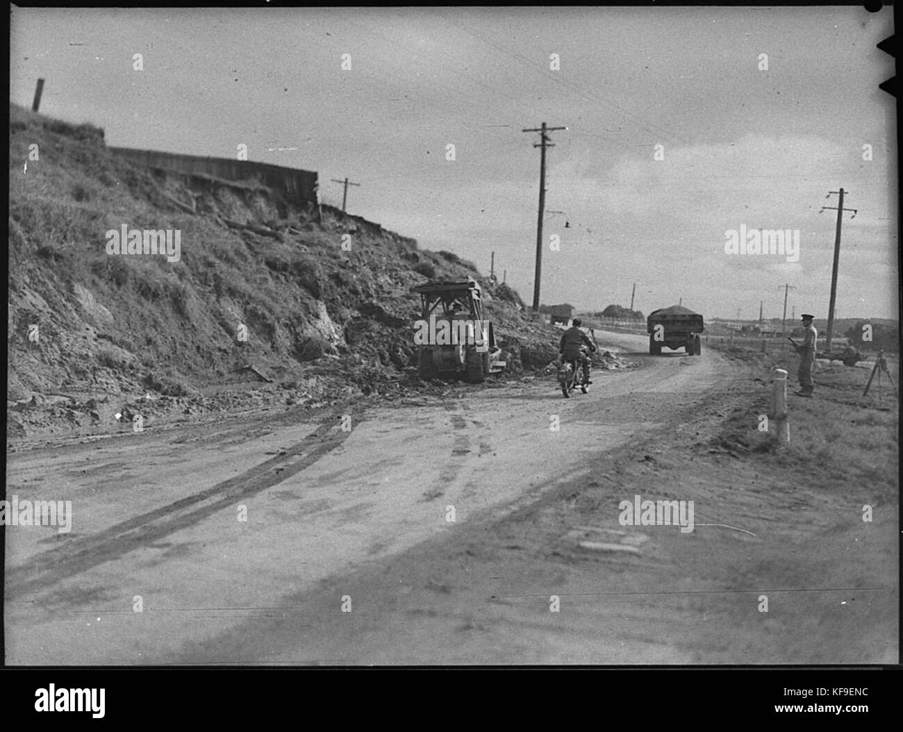 31232 Landslide at Ironbark Stock Photohttps://www.alamy.com/image-license-details/?v=1https://www.alamy.com/stock-image-31232-landslide-at-ironbark-164322296.html
RMKF9ENC–31232 Landslide at Ironbark
 creek closures jeppegat 04 Date: 1968 Keywords: creek closures Person Name: jeppegat 04 Stock Photohttps://www.alamy.com/image-license-details/?v=1https://www.alamy.com/creek-closures-jeppegat-04-date-1968-keywords-creek-closures-person-name-jeppegat-04-image342498210.html
RM2AW63XX–creek closures jeppegat 04 Date: 1968 Keywords: creek closures Person Name: jeppegat 04
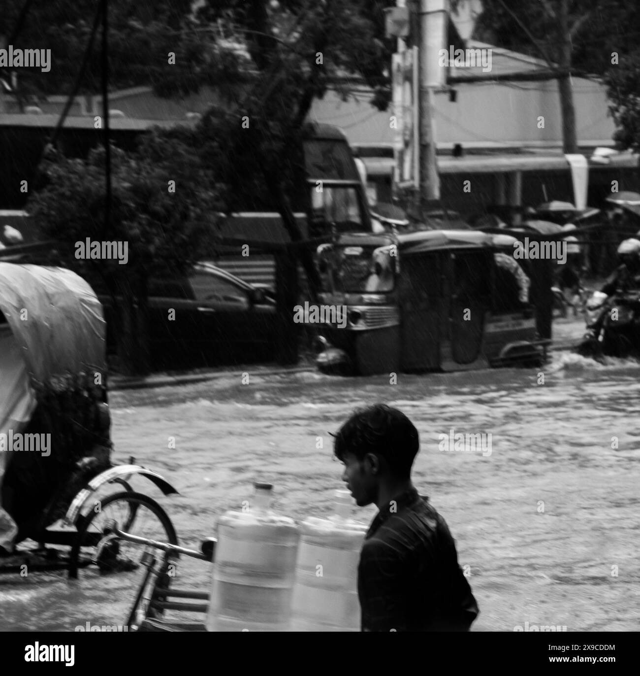 Cyclone Remal caused heavy rainfall, flooding, and strong winds in Dhaka City, leading to disrupted transport, power outages, and significant property Stock Photohttps://www.alamy.com/image-license-details/?v=1https://www.alamy.com/cyclone-remal-caused-heavy-rainfall-flooding-and-strong-winds-in-dhaka-city-leading-to-disrupted-transport-power-outages-and-significant-property-image608168784.html
RF2X9CDDM–Cyclone Remal caused heavy rainfall, flooding, and strong winds in Dhaka City, leading to disrupted transport, power outages, and significant property
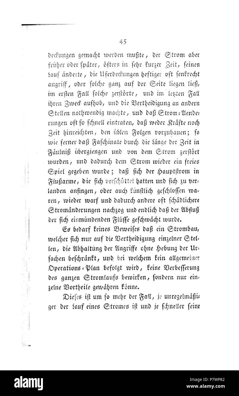 . Der Rhein von Basel bis Mannheim mit Begründung der Nothwendigkeit, diesen Strom zu regulieren Volltext bei de.: Der Rhein von Basel bis Mannheim . Deutsch: Dies ist ein Scan des historischen Buches English: This is a scan of the historical document . N/A 120 De Der Rhein von Basel bis Mannheim (Tulla) 046 Stock Photohttps://www.alamy.com/image-license-details/?v=1https://www.alamy.com/der-rhein-von-basel-bis-mannheim-mit-begrndung-der-nothwendigkeit-diesen-strom-zu-regulieren-volltext-bei-de-der-rhein-von-basel-bis-mannheim-deutsch-dies-ist-ein-scan-des-historischen-buches-english-this-is-a-scan-of-the-historical-document-na-120-de-der-rhein-von-basel-bis-mannheim-tulla-046-image211393282.html
RMP7WP82–. Der Rhein von Basel bis Mannheim mit Begründung der Nothwendigkeit, diesen Strom zu regulieren Volltext bei de.: Der Rhein von Basel bis Mannheim . Deutsch: Dies ist ein Scan des historischen Buches English: This is a scan of the historical document . N/A 120 De Der Rhein von Basel bis Mannheim (Tulla) 046
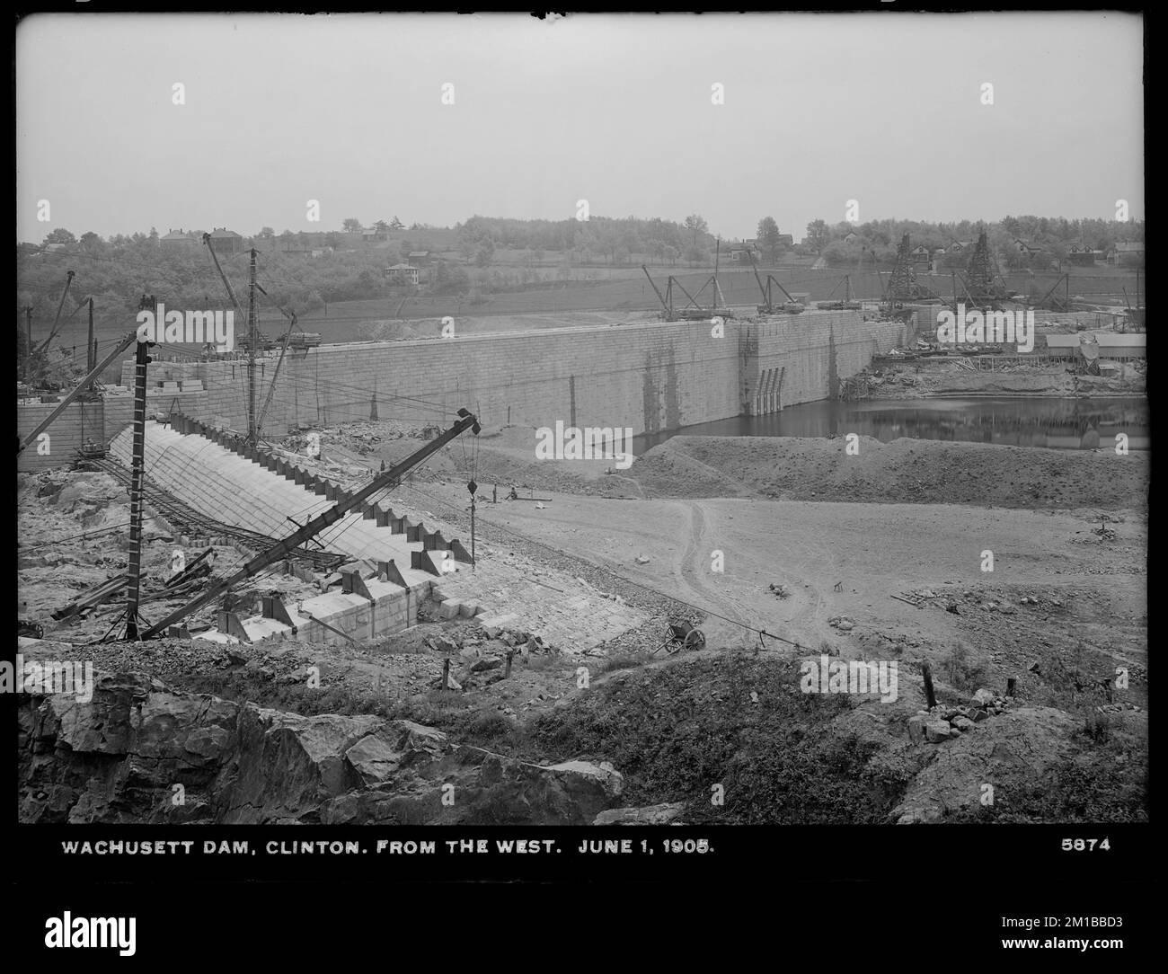 Wachusett Dam, Waste Weir, from the west, Clinton, Mass., Jun. 1, 1905 , waterworks, dams, construction sites, spillways Stock Photohttps://www.alamy.com/image-license-details/?v=1https://www.alamy.com/wachusett-dam-waste-weir-from-the-west-clinton-mass-jun-1-1905-waterworks-dams-construction-sites-spillways-image499965791.html
RM2M1BBD3–Wachusett Dam, Waste Weir, from the west, Clinton, Mass., Jun. 1, 1905 , waterworks, dams, construction sites, spillways
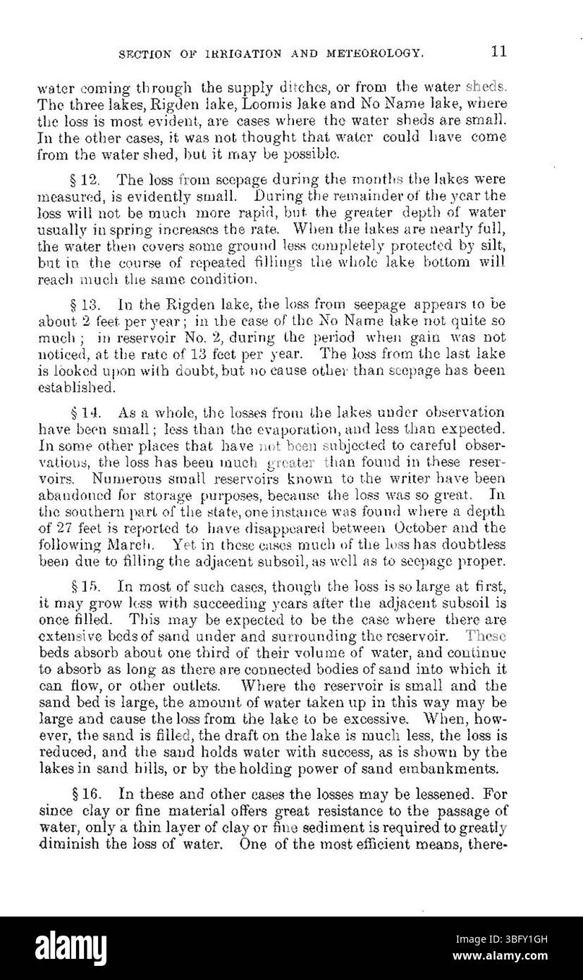 This May 1898 document discusses the significant loss of water from reservoirs due to seepage and evaporation, offering insights into the challenges faced by water management systems during that time. Stock Photohttps://www.alamy.com/image-license-details/?v=1https://www.alamy.com/this-may-1898-document-discusses-the-significant-loss-of-water-from-reservoirs-due-to-seepage-and-evaporation-offering-insights-into-the-challenges-faced-by-water-management-systems-during-that-time-image681018145.html
RM3BFY1GH–This May 1898 document discusses the significant loss of water from reservoirs due to seepage and evaporation, offering insights into the challenges faced by water management systems during that time.
![. Weeds [microform]. Weeds; Weeds; Mauvaises herbes, Lutte contre les; Mauvaises herbes. tl tiuLkeiin 28. IwDiAH Hat OB Swkrt OiuBa, One of the most troublesome weeds in Manitoba ia Sweet Grass. Ifc ia 2Z '-^u"°^ «"^'' quite a differed plant which roots near the surface of the soil and which can be destroyed by ploughing shallow and then S of.'!? ^™2"«°"y- The Sweet Qrl oa the other hand roots deeply and shaJlow ploughing merely encoura^eS It to grow. The treatment which rr K^t""' «•"«" *he best TuTti in Manitoba, is to plough in spring when the grass i Stock Photo . Weeds [microform]. Weeds; Weeds; Mauvaises herbes, Lutte contre les; Mauvaises herbes. tl tiuLkeiin 28. IwDiAH Hat OB Swkrt OiuBa, One of the most troublesome weeds in Manitoba ia Sweet Grass. Ifc ia 2Z '-^u"°^ «"^'' quite a differed plant which roots near the surface of the soil and which can be destroyed by ploughing shallow and then S of.'!? ^™2"«°"y- The Sweet Qrl oa the other hand roots deeply and shaJlow ploughing merely encoura^eS It to grow. The treatment which rr K^t""' «•"«" *he best TuTti in Manitoba, is to plough in spring when the grass i Stock Photo](https://c8.alamy.com/comp/REMTK3/weeds-microform-weeds-weeds-mauvaises-herbes-lutte-contre-les-mauvaises-herbes-tl-tiulkeiin-28-iwdiah-hat-ob-swkrt-oiuba-one-of-the-most-troublesome-weeds-in-manitoba-ia-sweet-grass-ifc-ia-2z-uquot-quot-quite-a-differed-plant-which-roots-near-the-surface-of-the-soil-and-which-can-be-destroyed-by-ploughing-shallow-and-then-s-of!-2quotquoty-the-sweet-qrl-oa-the-other-hand-roots-deeply-and-shajlow-ploughing-merely-encouraes-it-to-grow-the-treatment-which-rr-ktquotquot-quotquot-he-best-tutti-in-manitoba-is-to-plough-in-spring-when-the-grass-i-REMTK3.jpg) . Weeds [microform]. Weeds; Weeds; Mauvaises herbes, Lutte contre les; Mauvaises herbes. tl tiuLkeiin 28. IwDiAH Hat OB Swkrt OiuBa, One of the most troublesome weeds in Manitoba ia Sweet Grass. Ifc ia 2Z '-^u"°^ «"^'' quite a differed plant which roots near the surface of the soil and which can be destroyed by ploughing shallow and then S of.'!? ^™2"«°"y- The Sweet Qrl oa the other hand roots deeply and shaJlow ploughing merely encoura^eS It to grow. The treatment which rr K^t""' «•"«" *he best TuTti in Manitoba, is to plough in spring when the grass i Stock Photohttps://www.alamy.com/image-license-details/?v=1https://www.alamy.com/weeds-microform-weeds-weeds-mauvaises-herbes-lutte-contre-les-mauvaises-herbes-tl-tiulkeiin-28-iwdiah-hat-ob-swkrt-oiuba-one-of-the-most-troublesome-weeds-in-manitoba-ia-sweet-grass-ifc-ia-2z-uquot-quot-quite-a-differed-plant-which-roots-near-the-surface-of-the-soil-and-which-can-be-destroyed-by-ploughing-shallow-and-then-s-of!-2quotquoty-the-sweet-qrl-oa-the-other-hand-roots-deeply-and-shajlow-ploughing-merely-encouraes-it-to-grow-the-treatment-which-rr-ktquotquot-quotquot-he-best-tutti-in-manitoba-is-to-plough-in-spring-when-the-grass-i-image232798359.html
. Weeds [microform]. Weeds; Weeds; Mauvaises herbes, Lutte contre les; Mauvaises herbes. tl tiuLkeiin 28. IwDiAH Hat OB Swkrt OiuBa, One of the most troublesome weeds in Manitoba ia Sweet Grass. Ifc ia 2Z '-^u"°^ «"^'' quite a differed plant which roots near the surface of the soil and which can be destroyed by ploughing shallow and then S of.'!? ^™2"«°"y- The Sweet Qrl oa the other hand roots deeply and shaJlow ploughing merely encoura^eS It to grow. The treatment which rr K^t""' «•"«" *he best TuTti in Manitoba, is to plough in spring when the grass i Stock Photohttps://www.alamy.com/image-license-details/?v=1https://www.alamy.com/weeds-microform-weeds-weeds-mauvaises-herbes-lutte-contre-les-mauvaises-herbes-tl-tiulkeiin-28-iwdiah-hat-ob-swkrt-oiuba-one-of-the-most-troublesome-weeds-in-manitoba-ia-sweet-grass-ifc-ia-2z-uquot-quot-quite-a-differed-plant-which-roots-near-the-surface-of-the-soil-and-which-can-be-destroyed-by-ploughing-shallow-and-then-s-of!-2quotquoty-the-sweet-qrl-oa-the-other-hand-roots-deeply-and-shajlow-ploughing-merely-encouraes-it-to-grow-the-treatment-which-rr-ktquotquot-quotquot-he-best-tutti-in-manitoba-is-to-plough-in-spring-when-the-grass-i-image232798359.htmlRMREMTK3–. Weeds [microform]. Weeds; Weeds; Mauvaises herbes, Lutte contre les; Mauvaises herbes. tl tiuLkeiin 28. IwDiAH Hat OB Swkrt OiuBa, One of the most troublesome weeds in Manitoba ia Sweet Grass. Ifc ia 2Z '-^u"°^ «"^'' quite a differed plant which roots near the surface of the soil and which can be destroyed by ploughing shallow and then S of.'!? ^™2"«°"y- The Sweet Qrl oa the other hand roots deeply and shaJlow ploughing merely encoura^eS It to grow. The treatment which rr K^t""' «•"«" *he best TuTti in Manitoba, is to plough in spring when the grass i
 This image features a research initiative led by the U.S. Department of Energy (DOE), focused on environmental science and policy. The DOE conducts research to advance energy solutions, environmental protection, and sustainable energy systems. Their work supports efforts to reduce environmental impacts and address climate change through scientific and technological advancements. Stock Photohttps://www.alamy.com/image-license-details/?v=1https://www.alamy.com/stock-photo-this-image-features-a-research-initiative-led-by-the-us-department-126733450.html
RMHA55PJ–This image features a research initiative led by the U.S. Department of Energy (DOE), focused on environmental science and policy. The DOE conducts research to advance energy solutions, environmental protection, and sustainable energy systems. Their work supports efforts to reduce environmental impacts and address climate change through scientific and technological advancements.
 31187 Maitland flood Stock Photohttps://www.alamy.com/image-license-details/?v=1https://www.alamy.com/stock-image-31187-maitland-flood-163663081.html
RMKE7DX1–31187 Maitland flood
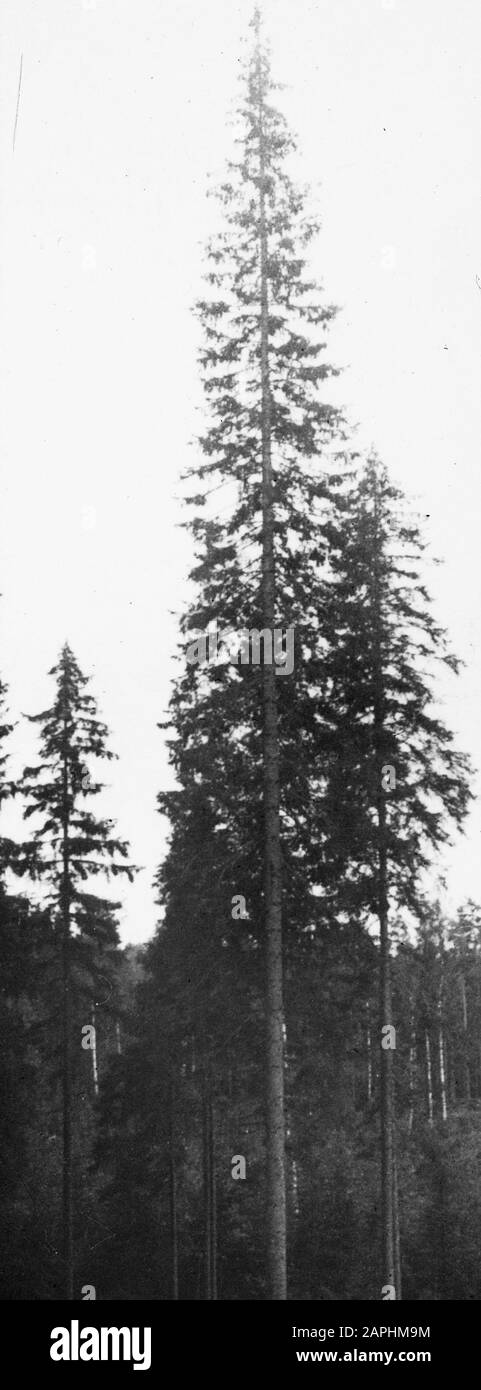 forestry, abroad, climate, land, elitespar Date: undated Keywords: forestry, abroad, land, climate Personal name: elitespar Stock Photohttps://www.alamy.com/image-license-details/?v=1https://www.alamy.com/forestry-abroad-climate-land-elitespar-date-undated-keywords-forestry-abroad-land-climate-personal-name-elitespar-image340908560.html
RM2APHM9M–forestry, abroad, climate, land, elitespar Date: undated Keywords: forestry, abroad, land, climate Personal name: elitespar
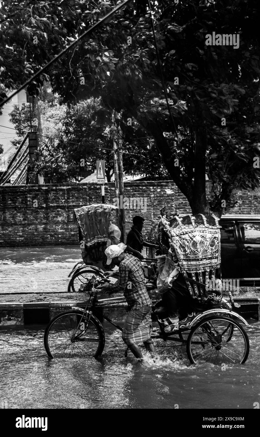 Cyclone Remal caused heavy rainfall, flooding, and strong winds in Dhaka City, leading to disrupted transport, power outages, and significant property Stock Photohttps://www.alamy.com/image-license-details/?v=1https://www.alamy.com/cyclone-remal-caused-heavy-rainfall-flooding-and-strong-winds-in-dhaka-city-leading-to-disrupted-transport-power-outages-and-significant-property-image608166012.html
RF2X9C9XM–Cyclone Remal caused heavy rainfall, flooding, and strong winds in Dhaka City, leading to disrupted transport, power outages, and significant property
 235 SLNSW 10543 Flood control ditch dug from the Lake to the Beach Narrabeen Stock Photohttps://www.alamy.com/image-license-details/?v=1https://www.alamy.com/235-slnsw-10543-flood-control-ditch-dug-from-the-lake-to-the-beach-narrabeen-image212882558.html
RMPA9HTE–235 SLNSW 10543 Flood control ditch dug from the Lake to the Beach Narrabeen
 DewaterLating Buyskes in Bolnes Stock Photohttps://www.alamy.com/image-license-details/?v=1https://www.alamy.com/dewaterlating-buyskes-in-bolnes-image417969736.html
RM2F804JG–DewaterLating Buyskes in Bolnes
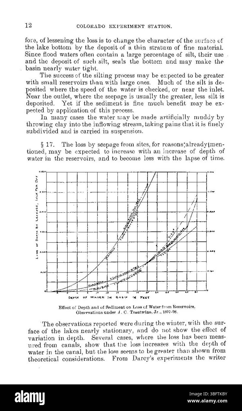 The document from May 1898 discusses the issue of water loss in reservoirs primarily due to seepage and evaporation, which affected water management strategies and infrastructure development during that period. Stock Photohttps://www.alamy.com/image-license-details/?v=1https://www.alamy.com/the-document-from-may-1898-discusses-the-issue-of-water-loss-in-reservoirs-primarily-due-to-seepage-and-evaporation-which-affected-water-management-strategies-and-infrastructure-development-during-that-period-image680966271.html
RM3BFTKBY–The document from May 1898 discusses the issue of water loss in reservoirs primarily due to seepage and evaporation, which affected water management strategies and infrastructure development during that period.
![. Farmers' foes and their remedies [microform]. Pests; Agricultural pests; Agricultural pests; Animaux et plantes nuisibles, Lutte contre les; Ennemis des cultures; Ennemis des cultures, Lutte contre les. 182 Ifow to Knotr the Han Jnae Sralr. £ -rrr. - - z t :r;HS£rIff r HcdleH are grayiHh in «.lour. beliis unuallv hât S ""**"â¢* than the bark to whloh they are «,crZiv!^'tt.».J^ rlT"^'' """^^'hat lighter -lea. wh.eh .nay be ioZ^ZTu ^hTire o^^. Zl Th"" '"" "' â omewhat itarker In colour. ' ""^'^ "* *''* P"*** Stock Photo . Farmers' foes and their remedies [microform]. Pests; Agricultural pests; Agricultural pests; Animaux et plantes nuisibles, Lutte contre les; Ennemis des cultures; Ennemis des cultures, Lutte contre les. 182 Ifow to Knotr the Han Jnae Sralr. £ -rrr. - - z t :r;HS£rIff r HcdleH are grayiHh in «.lour. beliis unuallv hât S ""**"â¢* than the bark to whloh they are «,crZiv!^'tt.».J^ rlT"^'' """^^'hat lighter -lea. wh.eh .nay be ioZ^ZTu ^hTire o^^. Zl Th"" '"" "' â omewhat itarker In colour. ' ""^'^ "* *''* P"*** Stock Photo](https://c8.alamy.com/comp/RENWMB/farmers-foes-and-their-remedies-microform-pests-agricultural-pests-agricultural-pests-animaux-et-plantes-nuisibles-lutte-contre-les-ennemis-des-cultures-ennemis-des-cultures-lutte-contre-les-182-ifow-to-knotr-the-han-jnae-sralr-rrr-z-t-rhsriff-r-hcdleh-are-grayihh-in-lour-beliis-unuallv-ht-s-quotquotquot-than-the-bark-to-whloh-they-are-crziv!ttj-rltquot-quotquotquothat-lighter-lea-wheh-nay-be-iozztu-htire-o-zl-thquotquot-quotquot-quot-omewhat-itarker-in-colour-quotquot-quot-pquot-RENWMB.jpg) . Farmers' foes and their remedies [microform]. Pests; Agricultural pests; Agricultural pests; Animaux et plantes nuisibles, Lutte contre les; Ennemis des cultures; Ennemis des cultures, Lutte contre les. 182 Ifow to Knotr the Han Jnae Sralr. £ -rrr. - - z t :r;HS£rIff r HcdleH are grayiHh in «.lour. beliis unuallv hât S ""**"â¢* than the bark to whloh they are «,crZiv!^'tt.».J^ rlT"^'' """^^'hat lighter -lea. wh.eh .nay be ioZ^ZTu ^hTire o^^. Zl Th"" '"" "' â omewhat itarker In colour. ' ""^'^ "* *''* P"*** Stock Photohttps://www.alamy.com/image-license-details/?v=1https://www.alamy.com/farmers-foes-and-their-remedies-microform-pests-agricultural-pests-agricultural-pests-animaux-et-plantes-nuisibles-lutte-contre-les-ennemis-des-cultures-ennemis-des-cultures-lutte-contre-les-182-ifow-to-knotr-the-han-jnae-sralr-rrr-z-t-rhsriff-r-hcdleh-are-grayihh-in-lour-beliis-unuallv-ht-s-quotquotquot-than-the-bark-to-whloh-they-are-crziv!ttj-rltquot-quotquotquothat-lighter-lea-wheh-nay-be-iozztu-htire-o-zl-thquotquot-quotquot-quot-omewhat-itarker-in-colour-quotquot-quot-pquot-image232821131.html
. Farmers' foes and their remedies [microform]. Pests; Agricultural pests; Agricultural pests; Animaux et plantes nuisibles, Lutte contre les; Ennemis des cultures; Ennemis des cultures, Lutte contre les. 182 Ifow to Knotr the Han Jnae Sralr. £ -rrr. - - z t :r;HS£rIff r HcdleH are grayiHh in «.lour. beliis unuallv hât S ""**"â¢* than the bark to whloh they are «,crZiv!^'tt.».J^ rlT"^'' """^^'hat lighter -lea. wh.eh .nay be ioZ^ZTu ^hTire o^^. Zl Th"" '"" "' â omewhat itarker In colour. ' ""^'^ "* *''* P"*** Stock Photohttps://www.alamy.com/image-license-details/?v=1https://www.alamy.com/farmers-foes-and-their-remedies-microform-pests-agricultural-pests-agricultural-pests-animaux-et-plantes-nuisibles-lutte-contre-les-ennemis-des-cultures-ennemis-des-cultures-lutte-contre-les-182-ifow-to-knotr-the-han-jnae-sralr-rrr-z-t-rhsriff-r-hcdleh-are-grayihh-in-lour-beliis-unuallv-ht-s-quotquotquot-than-the-bark-to-whloh-they-are-crziv!ttj-rltquot-quotquotquothat-lighter-lea-wheh-nay-be-iozztu-htire-o-zl-thquotquot-quotquot-quot-omewhat-itarker-in-colour-quotquot-quot-pquot-image232821131.htmlRMRENWMB–. Farmers' foes and their remedies [microform]. Pests; Agricultural pests; Agricultural pests; Animaux et plantes nuisibles, Lutte contre les; Ennemis des cultures; Ennemis des cultures, Lutte contre les. 182 Ifow to Knotr the Han Jnae Sralr. £ -rrr. - - z t :r;HS£rIff r HcdleH are grayiHh in «.lour. beliis unuallv hât S ""**"â¢* than the bark to whloh they are «,crZiv!^'tt.».J^ rlT"^'' """^^'hat lighter -lea. wh.eh .nay be ioZ^ZTu ^hTire o^^. Zl Th"" '"" "' â omewhat itarker In colour. ' ""^'^ "* *''* P"***
 The USDA promotes agricultural sustainability through its policies aimed at supporting farming practices that protect the environment. This effort includes resource management, conservation, and green farming technologies for future generations. Stock Photohttps://www.alamy.com/image-license-details/?v=1https://www.alamy.com/stock-photo-the-usda-promotes-agricultural-sustainability-through-its-policies-126791572.html
RMHA7RXC–The USDA promotes agricultural sustainability through its policies aimed at supporting farming practices that protect the environment. This effort includes resource management, conservation, and green farming technologies for future generations.
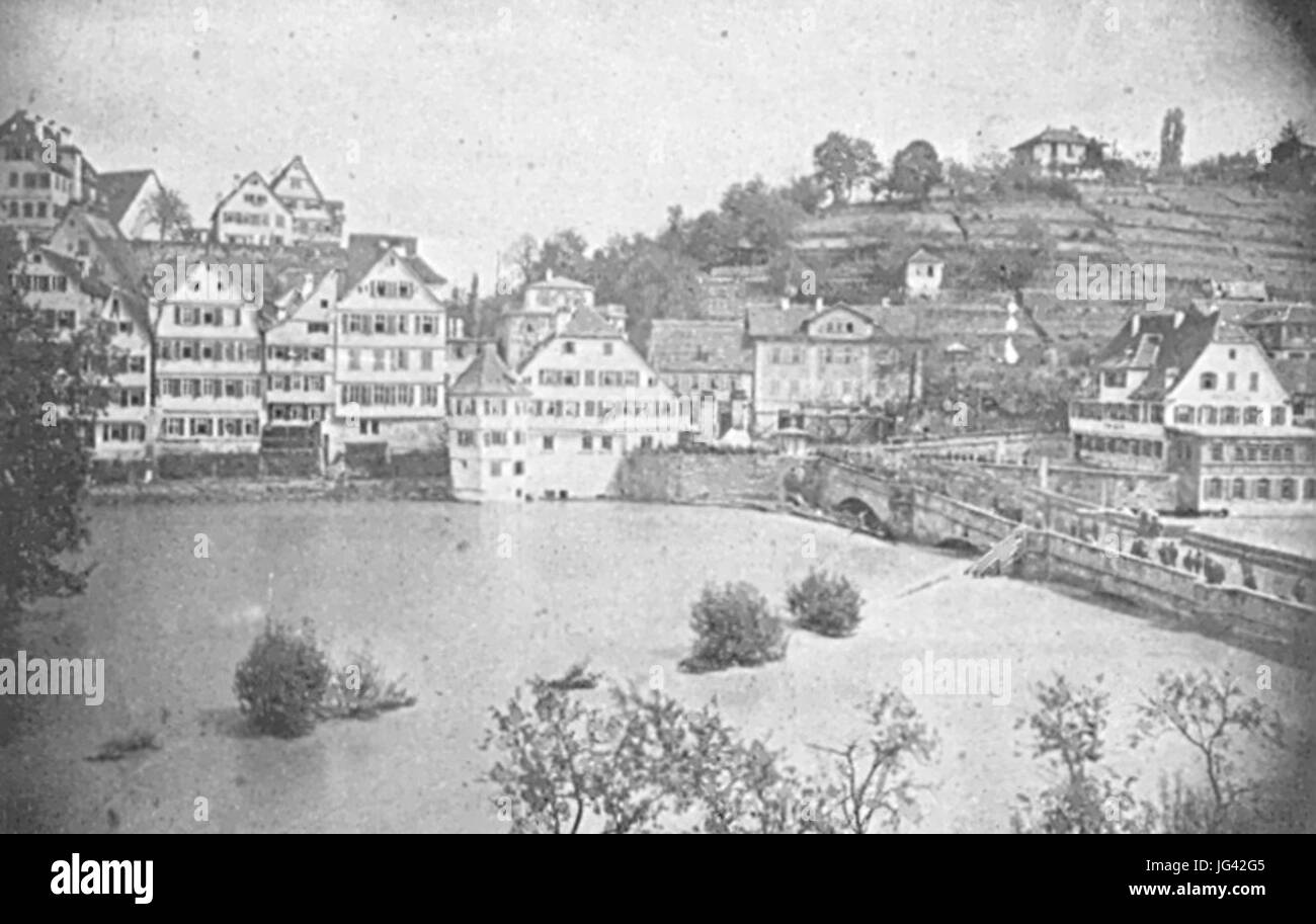 Neckarüberschwemmung 1872 Stock Photohttps://www.alamy.com/image-license-details/?v=1https://www.alamy.com/stock-photo-neckarberschwemmung-1872-147607269.html
RMJG42G5–Neckarüberschwemmung 1872
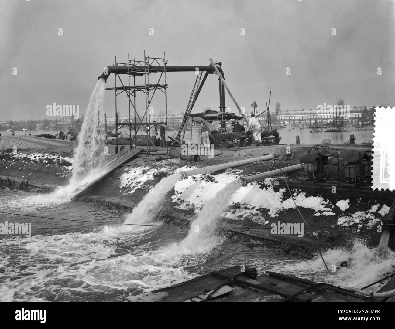 Disaster Tuindorp Oostzaan, pumps in operation Date: January 15, 1960 Location: Oostzaan Keywords: PUMPS, Disaster Stock Photohttps://www.alamy.com/image-license-details/?v=1https://www.alamy.com/disaster-tuindorp-oostzaan-pumps-in-operation-date-january-15-1960-location-oostzaan-keywords-pumps-disaster-image342511423.html
RM2AW6MPR–Disaster Tuindorp Oostzaan, pumps in operation Date: January 15, 1960 Location: Oostzaan Keywords: PUMPS, Disaster
 Cyclone Remal caused heavy rainfall, flooding, and strong winds in Dhaka City, leading to disrupted transport, power outages, and significant property Stock Photohttps://www.alamy.com/image-license-details/?v=1https://www.alamy.com/cyclone-remal-caused-heavy-rainfall-flooding-and-strong-winds-in-dhaka-city-leading-to-disrupted-transport-power-outages-and-significant-property-image608168493.html
RF2X9CD39–Cyclone Remal caused heavy rainfall, flooding, and strong winds in Dhaka City, leading to disrupted transport, power outages, and significant property
 . Der Rhein von Basel bis Mannheim mit Begründung der Nothwendigkeit, diesen Strom zu regulieren Volltext bei de.: Der Rhein von Basel bis Mannheim . Deutsch: Dies ist ein Scan des historischen Buches English: This is a scan of the historical document . N/A 120 De Der Rhein von Basel bis Mannheim (Tulla) 049 Stock Photohttps://www.alamy.com/image-license-details/?v=1https://www.alamy.com/der-rhein-von-basel-bis-mannheim-mit-begrndung-der-nothwendigkeit-diesen-strom-zu-regulieren-volltext-bei-de-der-rhein-von-basel-bis-mannheim-deutsch-dies-ist-ein-scan-des-historischen-buches-english-this-is-a-scan-of-the-historical-document-na-120-de-der-rhein-von-basel-bis-mannheim-tulla-049-image211393278.html
RMP7WP7X–. Der Rhein von Basel bis Mannheim mit Begründung der Nothwendigkeit, diesen Strom zu regulieren Volltext bei de.: Der Rhein von Basel bis Mannheim . Deutsch: Dies ist ein Scan des historischen Buches English: This is a scan of the historical document . N/A 120 De Der Rhein von Basel bis Mannheim (Tulla) 049
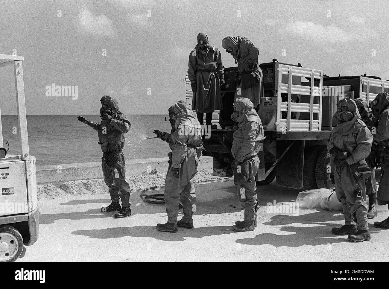 Dressed in full protective gear soldiers from the 71st Chemical Regiment, 25th Infantry Division (Light), line up to be sprayed with a decontamination solution near the conclusion of an exercise designed to test the unit's ability to detect and mitigate a chemical leak. Base: US Army Chemical Activity Country: Johnston Atoll Stock Photohttps://www.alamy.com/image-license-details/?v=1https://www.alamy.com/dressed-in-full-protective-gear-soldiers-from-the-71st-chemical-regiment-25th-infantry-division-light-line-up-to-be-sprayed-with-a-decontamination-solution-near-the-conclusion-of-an-exercise-designed-to-test-the-units-ability-to-detect-and-mitigate-a-chemical-leak-base-us-army-chemical-activity-country-johnston-atoll-image504314208.html
RM2M8DDWM–Dressed in full protective gear soldiers from the 71st Chemical Regiment, 25th Infantry Division (Light), line up to be sprayed with a decontamination solution near the conclusion of an exercise designed to test the unit's ability to detect and mitigate a chemical leak. Base: US Army Chemical Activity Country: Johnston Atoll
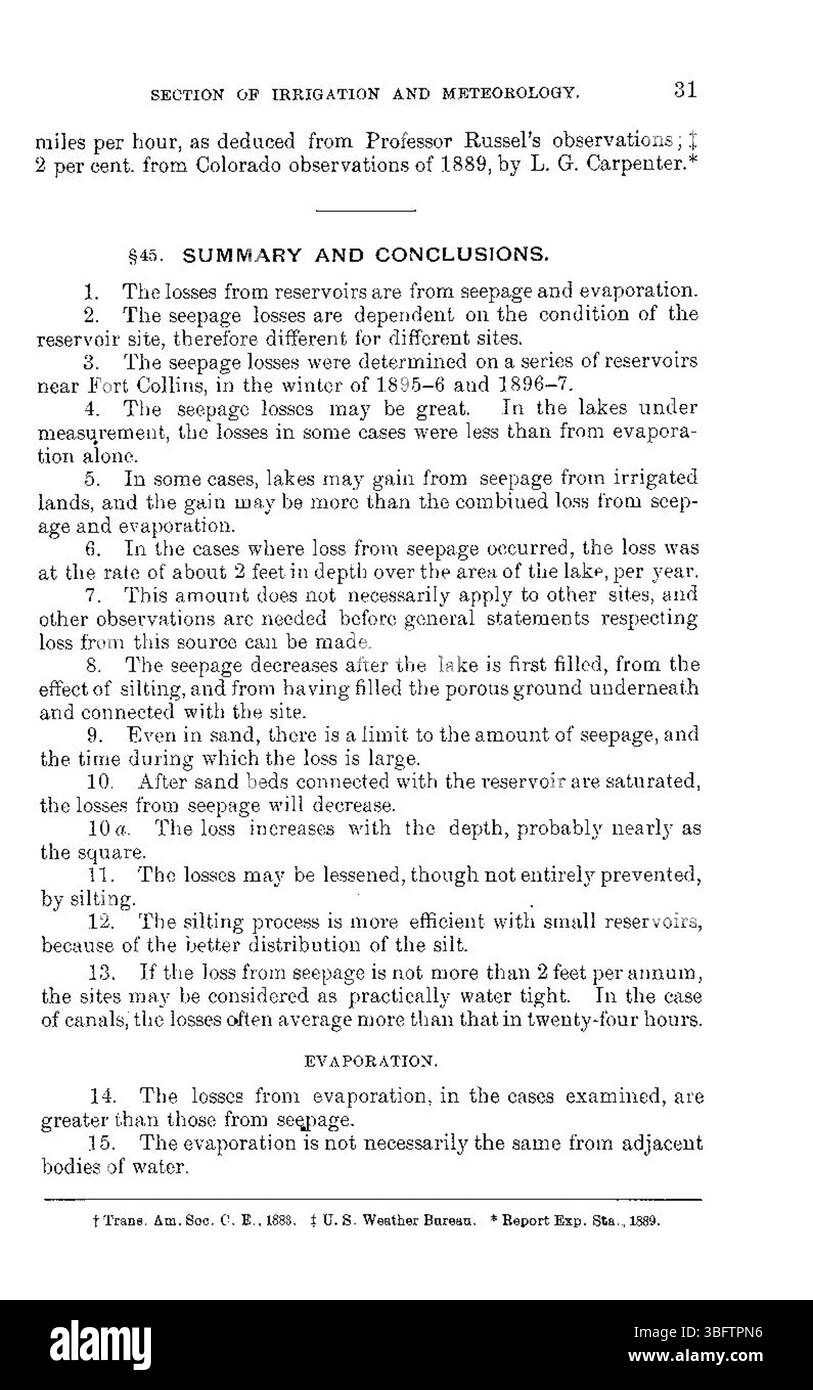 Page 31 of the 1898 report continues to investigate the issues related to the loss of water from reservoirs due to evaporation and seepage, highlighting methods to mitigate these losses. Stock Photohttps://www.alamy.com/image-license-details/?v=1https://www.alamy.com/page-31-of-the-1898-report-continues-to-investigate-the-issues-related-to-the-loss-of-water-from-reservoirs-due-to-evaporation-and-seepage-highlighting-methods-to-mitigate-these-losses-image680968882.html
RM3BFTPN6–Page 31 of the 1898 report continues to investigate the issues related to the loss of water from reservoirs due to evaporation and seepage, highlighting methods to mitigate these losses.
 . Bulletin (Pennsylvania Department of Forests and Waters), no. 35. Forests and forestry. The forest cover prevents the packino: an;l erosion of soil, and also retards the surface run-off of rain and melted snow. It changes rainfall, snow, and other precipitation from surface run-off to under ground flow, thus regulating the flow and purity of water in springs and streams. It helps to lessen the frequency of floods and to lower the flood stages of streams. The forest provides recreation and health. It furnishes favorable conditions for game and fish, and for the sport of hunting and fishing. I Stock Photohttps://www.alamy.com/image-license-details/?v=1https://www.alamy.com/bulletin-pennsylvania-department-of-forests-and-waters-no-35-forests-and-forestry-the-forest-cover-prevents-the-packino-anl-erosion-of-soil-and-also-retards-the-surface-run-off-of-rain-and-melted-snow-it-changes-rainfall-snow-and-other-precipitation-from-surface-run-off-to-under-ground-flow-thus-regulating-the-flow-and-purity-of-water-in-springs-and-streams-it-helps-to-lessen-the-frequency-of-floods-and-to-lower-the-flood-stages-of-streams-the-forest-provides-recreation-and-health-it-furnishes-favorable-conditions-for-game-and-fish-and-for-the-sport-of-hunting-and-fishing-i-image233793007.html
RMRGA5A7–. Bulletin (Pennsylvania Department of Forests and Waters), no. 35. Forests and forestry. The forest cover prevents the packino: an;l erosion of soil, and also retards the surface run-off of rain and melted snow. It changes rainfall, snow, and other precipitation from surface run-off to under ground flow, thus regulating the flow and purity of water in springs and streams. It helps to lessen the frequency of floods and to lower the flood stages of streams. The forest provides recreation and health. It furnishes favorable conditions for game and fish, and for the sport of hunting and fishing. I
 President Jimmy Carter played a pivotal role in advancing energy conservation policies. His contributions continue to influence sustainable energy practices today, particularly in the context of national parks and federal lands. Stock Photohttps://www.alamy.com/image-license-details/?v=1https://www.alamy.com/stock-photo-president-jimmy-carter-played-a-pivotal-role-in-advancing-energy-conservation-126763728.html
RMHA6GC0–President Jimmy Carter played a pivotal role in advancing energy conservation policies. His contributions continue to influence sustainable energy practices today, particularly in the context of national parks and federal lands.
 The 1903 floods in Saint Petersburg were a major environmental disaster that affected the city's infrastructure and residents. This event highlighted the vulnerability of the city's river systems to extreme weather. Stock Photohttps://www.alamy.com/image-license-details/?v=1https://www.alamy.com/stock-photo-the-1903-floods-in-saint-petersburg-were-a-major-environmental-disaster-139866948.html
RMJ3FDM4–The 1903 floods in Saint Petersburg were a major environmental disaster that affected the city's infrastructure and residents. This event highlighted the vulnerability of the city's river systems to extreme weather.
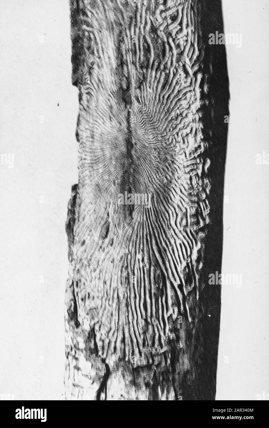 insects, damages, birch spider beetle Date: undated Keywords: damages, insects Personal name: birch spider beetle Stock Photohttps://www.alamy.com/image-license-details/?v=1https://www.alamy.com/insects-damages-birch-spider-beetle-date-undated-keywords-damages-insects-personal-name-birch-spider-beetle-image341203092.html
RM2AR340M–insects, damages, birch spider beetle Date: undated Keywords: damages, insects Personal name: birch spider beetle
 Cyclone Remal caused heavy rainfall, flooding, and strong winds in Dhaka City, leading to disrupted transport, power outages, and significant property Stock Photohttps://www.alamy.com/image-license-details/?v=1https://www.alamy.com/cyclone-remal-caused-heavy-rainfall-flooding-and-strong-winds-in-dhaka-city-leading-to-disrupted-transport-power-outages-and-significant-property-image608167195.html
RF2X9CBCY–Cyclone Remal caused heavy rainfall, flooding, and strong winds in Dhaka City, leading to disrupted transport, power outages, and significant property
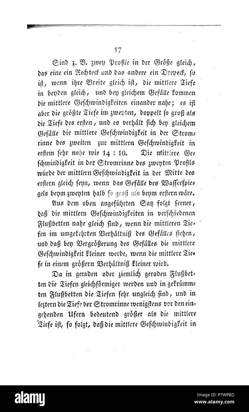 . Der Rhein von Basel bis Mannheim mit Begründung der Nothwendigkeit, diesen Strom zu regulieren Volltext bei de.: Der Rhein von Basel bis Mannheim . Deutsch: Dies ist ein Scan des historischen Buches English: This is a scan of the historical document . N/A 120 De Der Rhein von Basel bis Mannheim (Tulla) 058 Stock Photohttps://www.alamy.com/image-license-details/?v=1https://www.alamy.com/der-rhein-von-basel-bis-mannheim-mit-begrndung-der-nothwendigkeit-diesen-strom-zu-regulieren-volltext-bei-de-der-rhein-von-basel-bis-mannheim-deutsch-dies-ist-ein-scan-des-historischen-buches-english-this-is-a-scan-of-the-historical-document-na-120-de-der-rhein-von-basel-bis-mannheim-tulla-058-image211393293.html
RMP7WP8D–. Der Rhein von Basel bis Mannheim mit Begründung der Nothwendigkeit, diesen Strom zu regulieren Volltext bei de.: Der Rhein von Basel bis Mannheim . Deutsch: Dies ist ein Scan des historischen Buches English: This is a scan of the historical document . N/A 120 De Der Rhein von Basel bis Mannheim (Tulla) 058
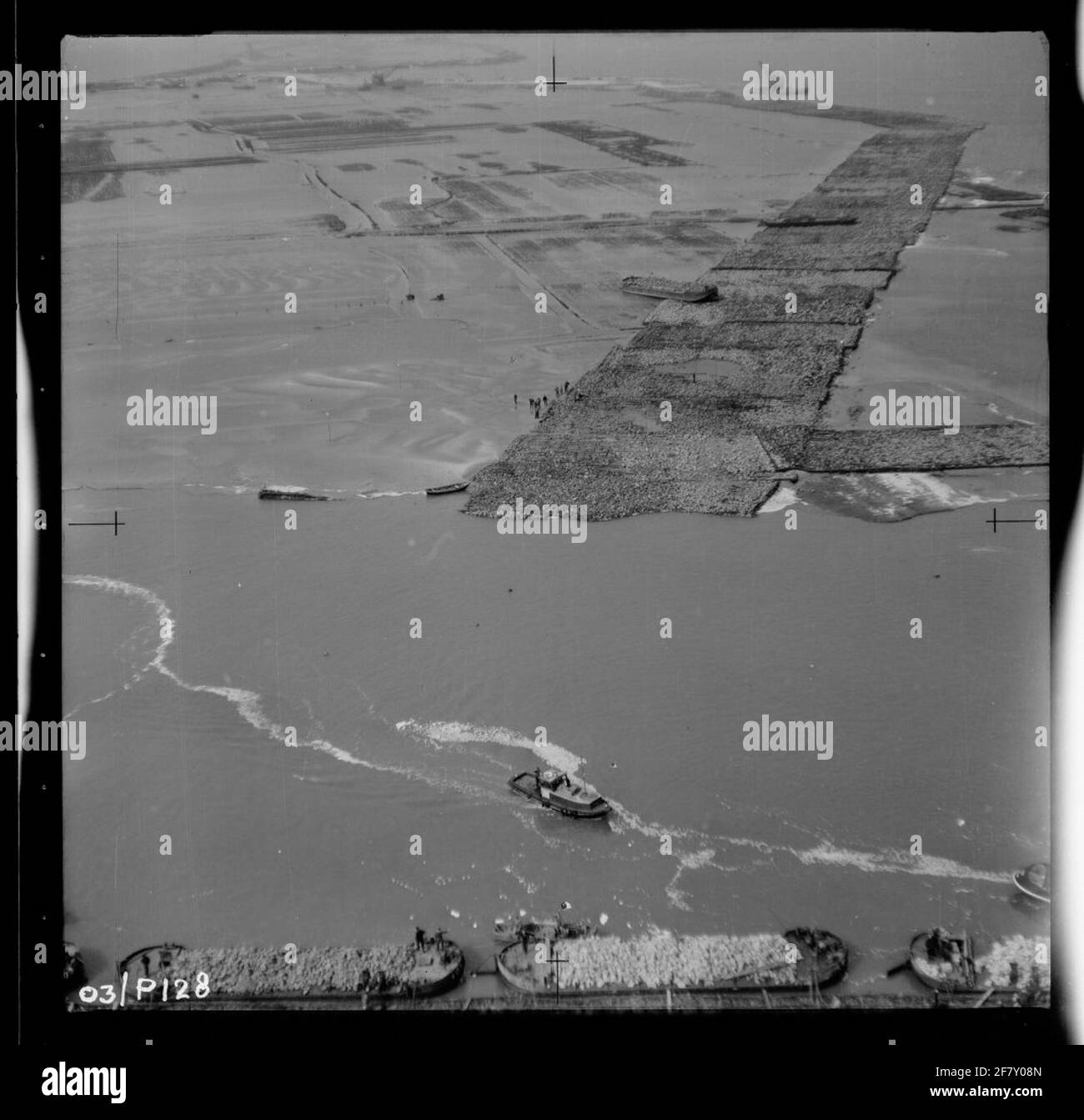 Water release disaster 1953. Air photo of Schelphoek and an overview of the area affected by the disaster. Work on an embankment to be applied. Stock Photohttps://www.alamy.com/image-license-details/?v=1https://www.alamy.com/water-release-disaster-1953-air-photo-of-schelphoek-and-an-overview-of-the-area-affected-by-the-disaster-work-on-an-embankment-to-be-applied-image417944373.html
RM2F7Y08N–Water release disaster 1953. Air photo of Schelphoek and an overview of the area affected by the disaster. Work on an embankment to be applied.
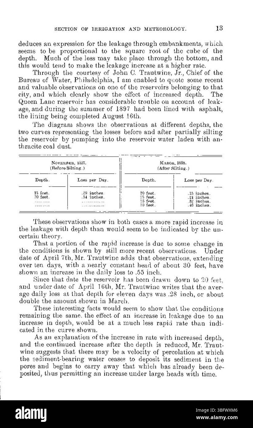 This section of the 1898 report focuses on the loss of water from reservoirs, detailing how seepage and evaporation contributed to water shortages. It highlights the impact on water conservation practices and infrastructure. Stock Photohttps://www.alamy.com/image-license-details/?v=1https://www.alamy.com/this-section-of-the-1898-report-focuses-on-the-loss-of-water-from-reservoirs-detailing-how-seepage-and-evaporation-contributed-to-water-shortages-it-highlights-the-impact-on-water-conservation-practices-and-infrastructure-image680993942.html
RM3BFWXM6–This section of the 1898 report focuses on the loss of water from reservoirs, detailing how seepage and evaporation contributed to water shortages. It highlights the impact on water conservation practices and infrastructure.
 . Bulletin (Pennsylvania Department of Forestry), no. 11. Forests and forestry. Fig. 4:f. TKKKS rf-RXISII A I'ROTIX'TIVE COVEU TO STEEP .MOI'NIAIN SLOI'E.'^. AND ('()NSE(}rENTI.V CHECK ERO- SION AXI) PREVENT FLOODS P.Y REdll.ATINi; THE RIN- OEE OF WATER PiESIT-TINc; FROM HEAVY ItAINS AND MEl/ri(i SNOW. Fij;. 44. .M()1!E THAN (WMUKlfl TREES HAVE PEEX PLANTED RY THE YORK WATEI! COAH'ANY ON ITS WAl'KRsnEDS AIIOIT THE WATER IMPOUNDIXO P.ASINS INTENTIONAL SECOND EXPOSURE. Please note that these images are extracted from scanned page images that may have been digitally enhanced for readability - co Stock Photohttps://www.alamy.com/image-license-details/?v=1https://www.alamy.com/bulletin-pennsylvania-department-of-forestry-no-11-forests-and-forestry-fig-4f-tkkks-rf-rxisii-a-irotixtive-coveu-to-steep-moiniain-sloie-and-nserentiv-check-ero-sion-axi-prevent-floods-py-redllatini-the-rin-oee-of-water-piesit-tinc-from-heavy-itains-and-melrii-snow-fij-44-m1!e-than-wmuklfl-trees-have-peex-planted-ry-the-york-watei!-coahany-on-its-walkrsneds-aiioit-the-water-impoundixo-pasins-intentional-second-exposure-please-note-that-these-images-are-extracted-from-scanned-page-images-that-may-have-been-digitally-enhanced-for-readability-co-image233781672.html
RMRG9JWC–. Bulletin (Pennsylvania Department of Forestry), no. 11. Forests and forestry. Fig. 4:f. TKKKS rf-RXISII A I'ROTIX'TIVE COVEU TO STEEP .MOI'NIAIN SLOI'E.'^. AND ('()NSE(}rENTI.V CHECK ERO- SION AXI) PREVENT FLOODS P.Y REdll.ATINi; THE RIN- OEE OF WATER PiESIT-TINc; FROM HEAVY ItAINS AND MEl/ri(i SNOW. Fij;. 44. .M()1!E THAN (WMUKlfl TREES HAVE PEEX PLANTED RY THE YORK WATEI! COAH'ANY ON ITS WAl'KRsnEDS AIIOIT THE WATER IMPOUNDIXO P.ASINS INTENTIONAL SECOND EXPOSURE. Please note that these images are extracted from scanned page images that may have been digitally enhanced for readability - co
 This graphic from the USDA depicts the impacts of climate change, focusing on shifts in ecosystems, weather patterns, and the environment. It aims to raise awareness about the need for adaptive strategies to mitigate climate change effects. Stock Photohttps://www.alamy.com/image-license-details/?v=1https://www.alamy.com/stock-photo-this-graphic-from-the-usda-depicts-the-impacts-of-climate-change-focusing-126603988.html
RMH9Y8K0–This graphic from the USDA depicts the impacts of climate change, focusing on shifts in ecosystems, weather patterns, and the environment. It aims to raise awareness about the need for adaptive strategies to mitigate climate change effects.
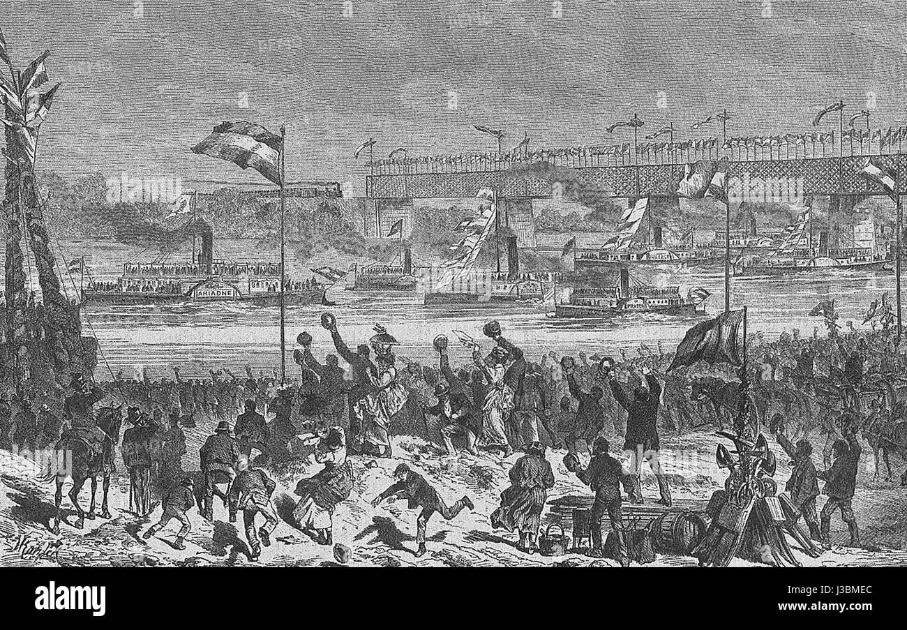 The opening of the Danube regulation project in 1875 was a major engineering and environmental achievement. This project aimed to control the flow of the Danube River, preventing flooding and improving navigation for trade and transport. Stock Photohttps://www.alamy.com/image-license-details/?v=1https://www.alamy.com/stock-photo-the-opening-of-the-danube-regulation-project-in-1875-was-a-major-engineering-139784468.html
RMJ3BMEC–The opening of the Danube regulation project in 1875 was a major engineering and environmental achievement. This project aimed to control the flow of the Danube River, preventing flooding and improving navigation for trade and transport.
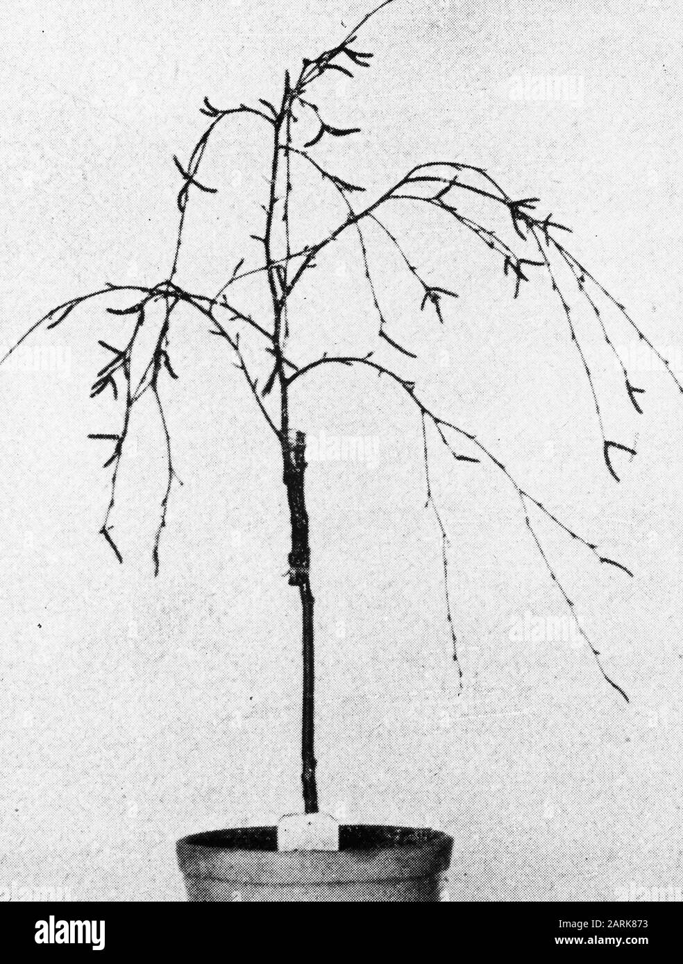 bottle distribution Date: undated Keywords: forestry, abroad, soil, climate Personal name: birch Stock Photohttps://www.alamy.com/image-license-details/?v=1https://www.alamy.com/bottle-distribution-date-undated-keywords-forestry-abroad-soil-climate-personal-name-birch-image341557639.html
RM2ARK873–bottle distribution Date: undated Keywords: forestry, abroad, soil, climate Personal name: birch
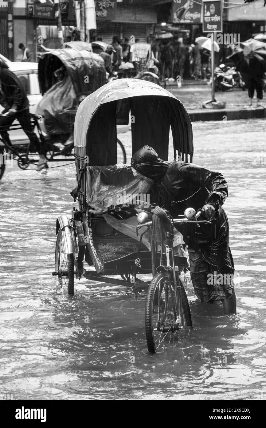 Cyclone Remal caused heavy rainfall, flooding, and strong winds in Dhaka City, leading to disrupted transport, power outages, and significant property Stock Photohttps://www.alamy.com/image-license-details/?v=1https://www.alamy.com/cyclone-remal-caused-heavy-rainfall-flooding-and-strong-winds-in-dhaka-city-leading-to-disrupted-transport-power-outages-and-significant-property-image608167578.html
RF2X9CBXJ–Cyclone Remal caused heavy rainfall, flooding, and strong winds in Dhaka City, leading to disrupted transport, power outages, and significant property
 . Der Rhein von Basel bis Mannheim mit Begründung der Nothwendigkeit, diesen Strom zu regulieren Volltext bei de.: Der Rhein von Basel bis Mannheim . Deutsch: Dies ist ein Scan des historischen Buches English: This is a scan of the historical document . N/A 120 De Der Rhein von Basel bis Mannheim (Tulla) 066 Stock Photohttps://www.alamy.com/image-license-details/?v=1https://www.alamy.com/der-rhein-von-basel-bis-mannheim-mit-begrndung-der-nothwendigkeit-diesen-strom-zu-regulieren-volltext-bei-de-der-rhein-von-basel-bis-mannheim-deutsch-dies-ist-ein-scan-des-historischen-buches-english-this-is-a-scan-of-the-historical-document-na-120-de-der-rhein-von-basel-bis-mannheim-tulla-066-image211393301.html
RMP7WP8N–. Der Rhein von Basel bis Mannheim mit Begründung der Nothwendigkeit, diesen Strom zu regulieren Volltext bei de.: Der Rhein von Basel bis Mannheim . Deutsch: Dies ist ein Scan des historischen Buches English: This is a scan of the historical document . N/A 120 De Der Rhein von Basel bis Mannheim (Tulla) 066
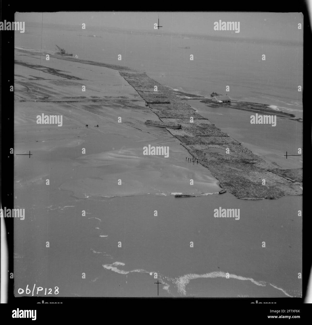 Water release disaster 1953. Air photo of Schelphoek and an overview of the area affected by the disaster. Work on an embankment to be applied. Stock Photohttps://www.alamy.com/image-license-details/?v=1https://www.alamy.com/water-release-disaster-1953-air-photo-of-schelphoek-and-an-overview-of-the-area-affected-by-the-disaster-work-on-an-embankment-to-be-applied-image417934123.html
RM2F7XF6K–Water release disaster 1953. Air photo of Schelphoek and an overview of the area affected by the disaster. Work on an embankment to be applied.
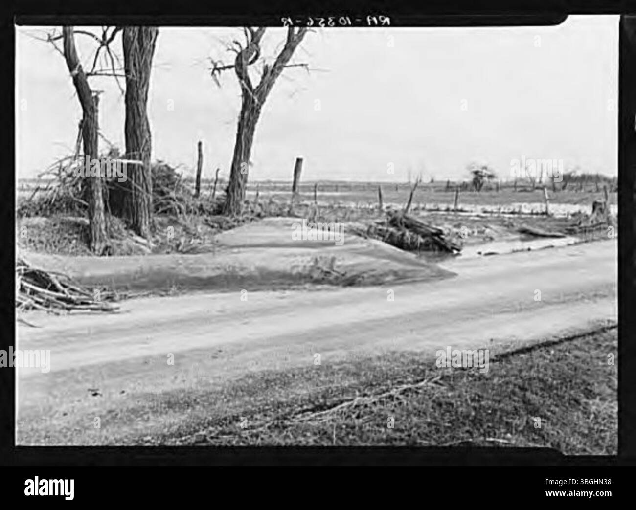 During the 1937 flood, soil was washed away from a field and deposited on the road, showcasing the significant erosion and land displacement caused by the floodwaters. Stock Photohttps://www.alamy.com/image-license-details/?v=1https://www.alamy.com/during-the-1937-flood-soil-was-washed-away-from-a-field-and-deposited-on-the-road-showcasing-the-significant-erosion-and-land-displacement-caused-by-the-floodwaters-image681428588.html
RM3BGHN38–During the 1937 flood, soil was washed away from a field and deposited on the road, showcasing the significant erosion and land displacement caused by the floodwaters.
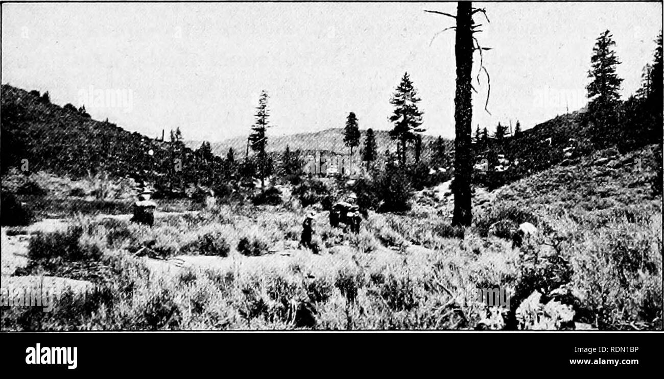 . Conservation reader. Natural resources; Forests and forestry. How the Forests Suffer from Fires 121 toward the main fire, and when they meet both must die out for lack of fuel. For many years forest fires have caused as much damage as the lumbermen; but now most of the forests are patrolled by rangers during the summer, and there are fewer serious fires. How do the fires start in the forest? It is supposed that long ago the Indians set many fires to keep the woods open for their hunting. Lightning has always been a frequent cause of forest fires. As many as a dozen fires are known to have st Stock Photohttps://www.alamy.com/image-license-details/?v=1https://www.alamy.com/conservation-reader-natural-resources-forests-and-forestry-how-the-forests-suffer-from-fires-121-toward-the-main-fire-and-when-they-meet-both-must-die-out-for-lack-of-fuel-for-many-years-forest-fires-have-caused-as-much-damage-as-the-lumbermen-but-now-most-of-the-forests-are-patrolled-by-rangers-during-the-summer-and-there-are-fewer-serious-fires-how-do-the-fires-start-in-the-forest-it-is-supposed-that-long-ago-the-indians-set-many-fires-to-keep-the-woods-open-for-their-hunting-lightning-has-always-been-a-frequent-cause-of-forest-fires-as-many-as-a-dozen-fires-are-known-to-have-st-image232187418.html
RMRDN1BP–. Conservation reader. Natural resources; Forests and forestry. How the Forests Suffer from Fires 121 toward the main fire, and when they meet both must die out for lack of fuel. For many years forest fires have caused as much damage as the lumbermen; but now most of the forests are patrolled by rangers during the summer, and there are fewer serious fires. How do the fires start in the forest? It is supposed that long ago the Indians set many fires to keep the woods open for their hunting. Lightning has always been a frequent cause of forest fires. As many as a dozen fires are known to have st