Quick filters:
Drainage basin Stock Photos and Images
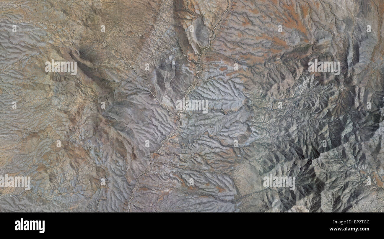 aerial map view above mountain drainage valleys Cochise county Arizona Stock Photohttps://www.alamy.com/image-license-details/?v=1https://www.alamy.com/stock-photo-aerial-map-view-above-mountain-drainage-valleys-cochise-county-arizona-30795980.html
RFBP2TGC–aerial map view above mountain drainage valleys Cochise county Arizona
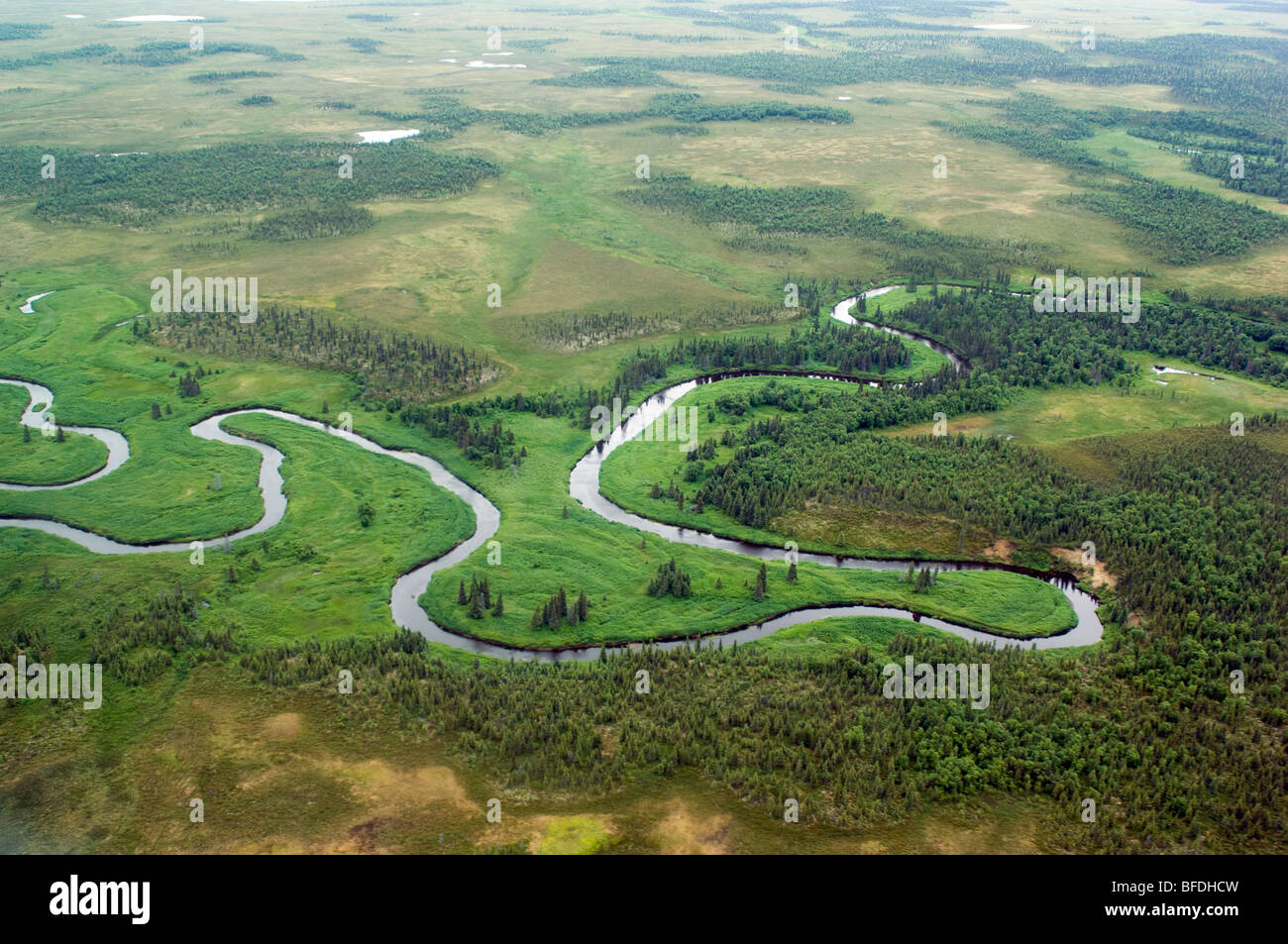 Nushagak River drainage basin, Bristol Bay, Alaska, USA Stock Photohttps://www.alamy.com/image-license-details/?v=1https://www.alamy.com/stock-photo-nushagak-river-drainage-basin-bristol-bay-alaska-usa-26729273.html
RFBFDHCW–Nushagak River drainage basin, Bristol Bay, Alaska, USA
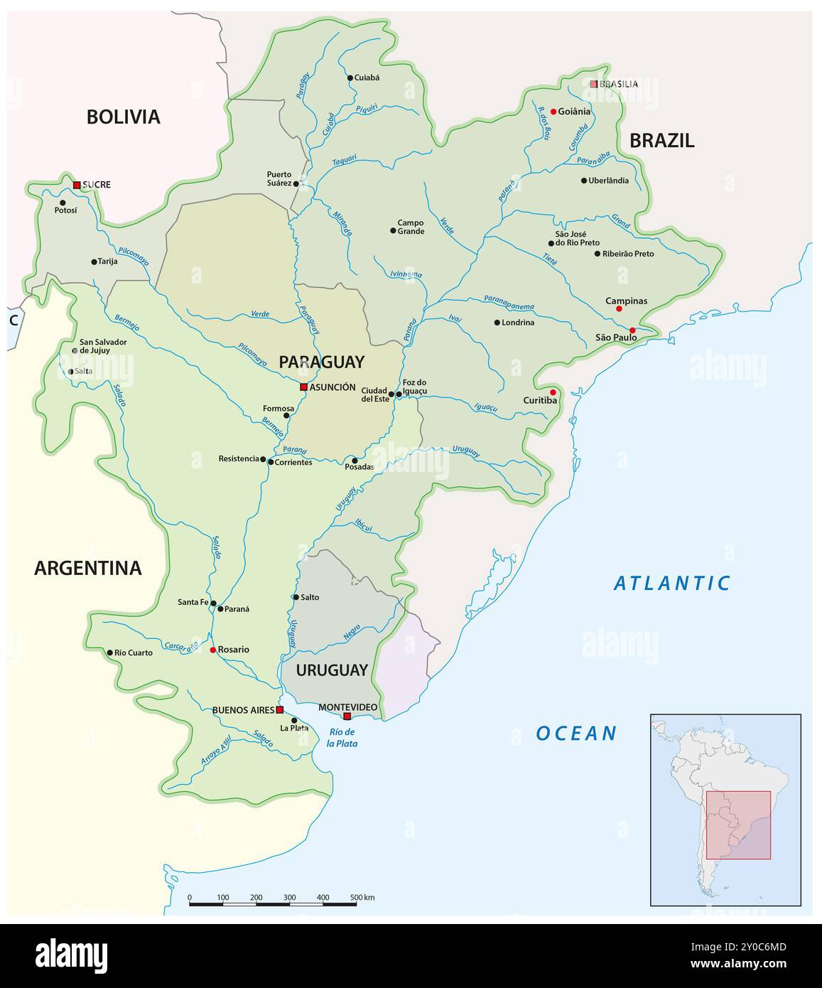 Map of drainage basin Rio de la Plata, South America Stock Photohttps://www.alamy.com/image-license-details/?v=1https://www.alamy.com/map-of-drainage-basin-rio-de-la-plata-south-america-image619841949.html
RF2Y0C6MD–Map of drainage basin Rio de la Plata, South America
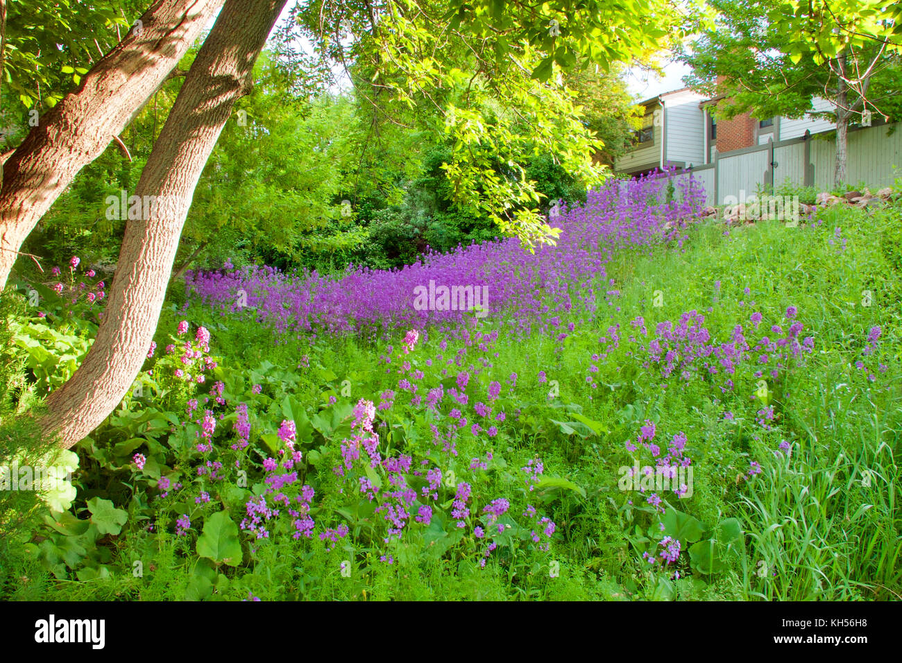 Dame's rocket growing in a drainage basin or swale. Stock Photohttps://www.alamy.com/image-license-details/?v=1https://www.alamy.com/stock-image-dames-rocket-growing-in-a-drainage-basin-or-swale-165457412.html
RFKH56H8–Dame's rocket growing in a drainage basin or swale.
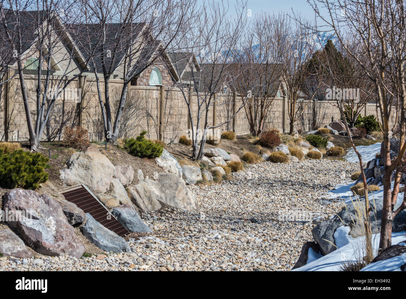 A combination xeriscape rain garden, drainage basin and bioswale in winter Stock Photohttps://www.alamy.com/image-license-details/?v=1https://www.alamy.com/stock-photo-a-combination-xeriscape-rain-garden-drainage-basin-and-bioswale-in-79359870.html
RMEH3492–A combination xeriscape rain garden, drainage basin and bioswale in winter
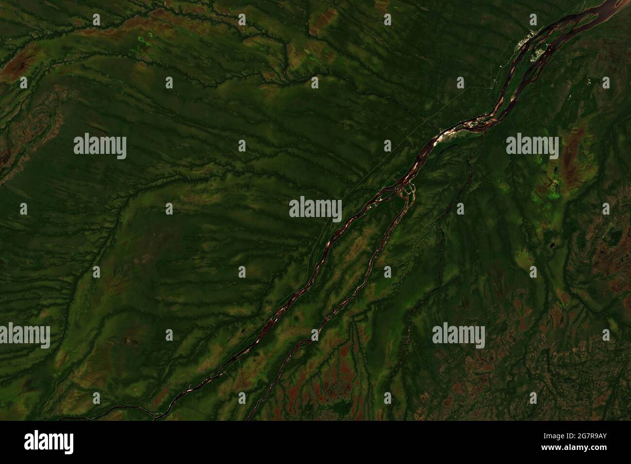 Colorful drainage basin of Moose River in Ontario, Canada, flowing into James Bay seen from space - contains modified Copernicus Sentinel Data (2020) Stock Photohttps://www.alamy.com/image-license-details/?v=1https://www.alamy.com/colorful-drainage-basin-of-moose-river-in-ontario-canada-flowing-into-james-bay-seen-from-space-contains-modified-copernicus-sentinel-data-2020-image435074051.html
RF2G7R9AY–Colorful drainage basin of Moose River in Ontario, Canada, flowing into James Bay seen from space - contains modified Copernicus Sentinel Data (2020)
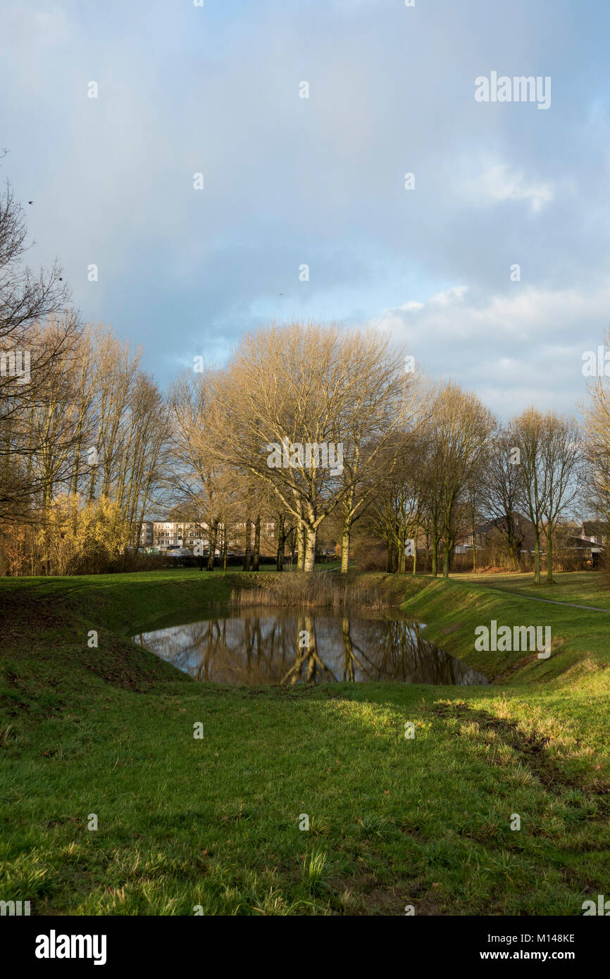 Winter landscape park with clouds and drainage basin near urban area, urban area, Limburg, Netherlands. Stock Photohttps://www.alamy.com/image-license-details/?v=1https://www.alamy.com/stock-photo-winter-landscape-park-with-clouds-and-drainage-basin-near-urban-area-172812962.html
RFM148KE–Winter landscape park with clouds and drainage basin near urban area, urban area, Limburg, Netherlands.
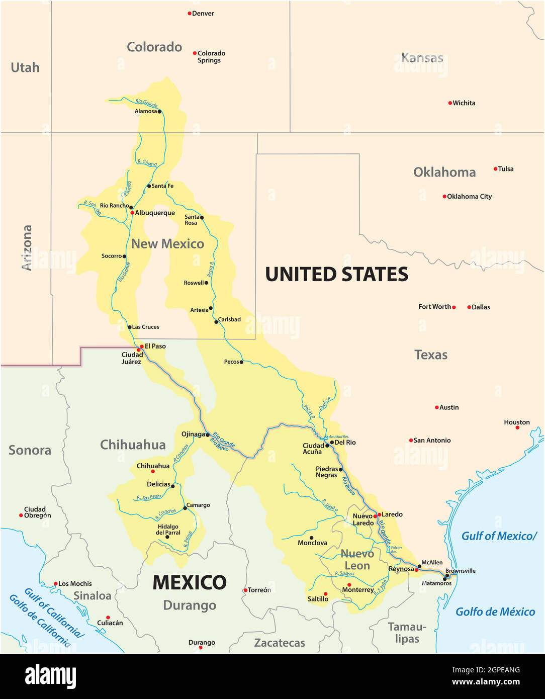 Map of the Rio Grande, Rio Bravo Drainage Basin, Mexico, United States Stock Vectorhttps://www.alamy.com/image-license-details/?v=1https://www.alamy.com/map-of-the-rio-grande-rio-bravo-drainage-basin-mexico-united-states-image444097404.html
RF2GPEANG–Map of the Rio Grande, Rio Bravo Drainage Basin, Mexico, United States
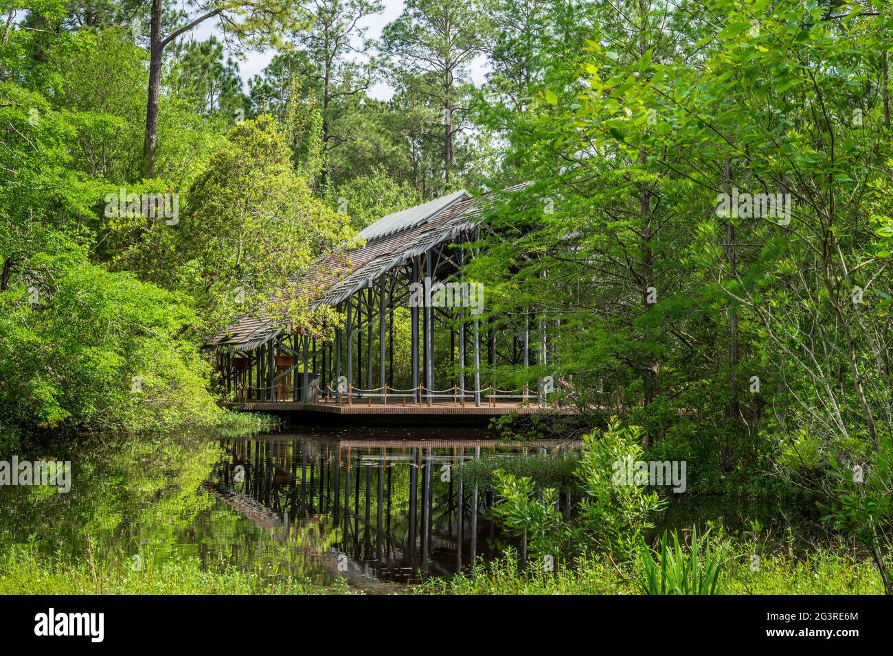 Pinecote Pavilion at the Crosby Arboretum, a conservatory protecting native plants of the Pearl River Drainage Basin of Mississippi and Louisiana. Stock Photohttps://www.alamy.com/image-license-details/?v=1https://www.alamy.com/pinecote-pavilion-at-the-crosby-arboretum-a-conservatory-protecting-native-plants-of-the-pearl-river-drainage-basin-of-mississippi-and-louisiana-image432619228.html
RM2G3RE6M–Pinecote Pavilion at the Crosby Arboretum, a conservatory protecting native plants of the Pearl River Drainage Basin of Mississippi and Louisiana.
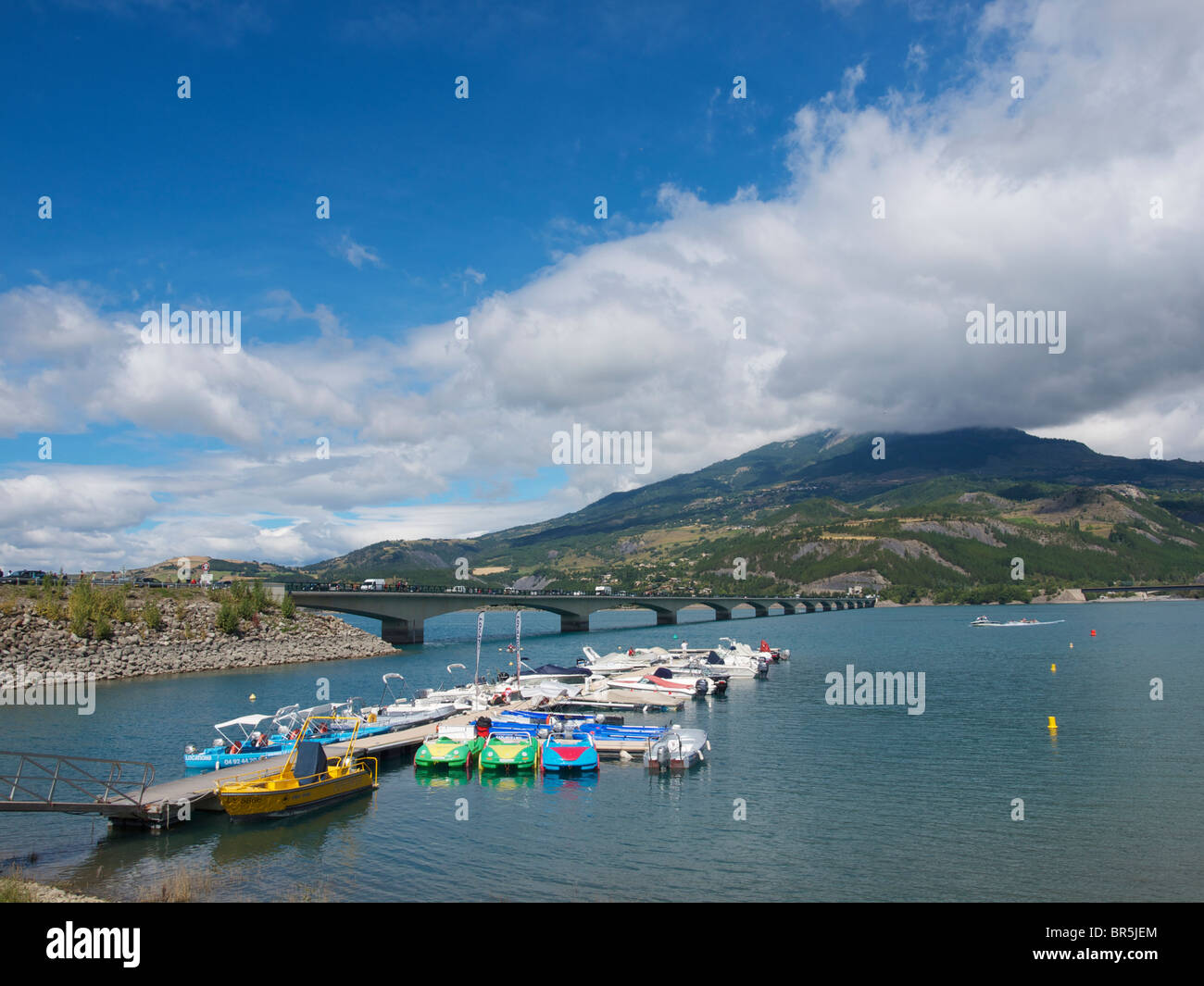 Bridge over Lac de Serre Poncon the largest drainage basin lake in France. Hautes Alpes region. Stock Photohttps://www.alamy.com/image-license-details/?v=1https://www.alamy.com/stock-photo-bridge-over-lac-de-serre-poncon-the-largest-drainage-basin-lake-in-31471740.html
RMBR5JEM–Bridge over Lac de Serre Poncon the largest drainage basin lake in France. Hautes Alpes region.
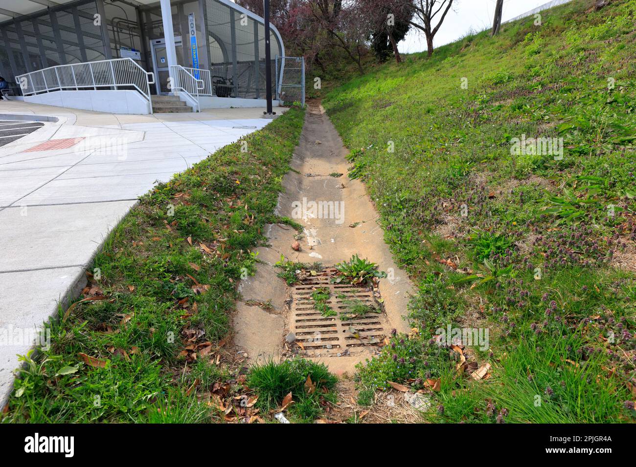 A concrete drainage ditch leading to a clogged catch basin. Catch basin collects surface water runoff. Stock Photohttps://www.alamy.com/image-license-details/?v=1https://www.alamy.com/a-concrete-drainage-ditch-leading-to-a-clogged-catch-basin-catch-basin-collects-surface-water-runoff-image544954602.html
RM2PJGR4A–A concrete drainage ditch leading to a clogged catch basin. Catch basin collects surface water runoff.
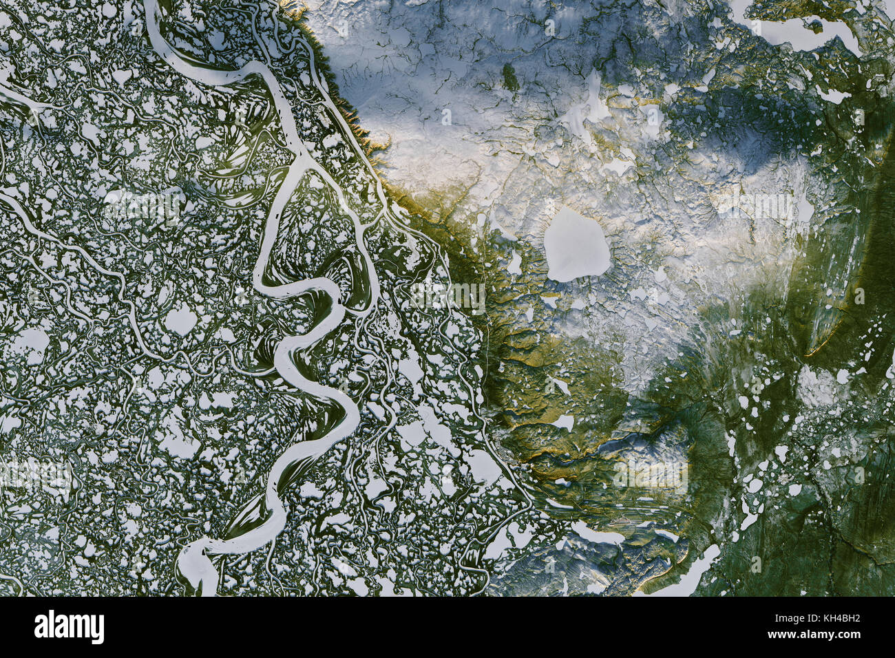 The Mackenzie River, W. Canada, Nov. 7, 2016, Landsat 8 by NASA Earth Observatory images by Joshua Stevens, Landsat data from the USGS Stock Photohttps://www.alamy.com/image-license-details/?v=1https://www.alamy.com/stock-image-the-mackenzie-river-w-canada-nov-7-2016-landsat-8-by-nasa-earth-observatory-165439374.html
RFKH4BH2–The Mackenzie River, W. Canada, Nov. 7, 2016, Landsat 8 by NASA Earth Observatory images by Joshua Stevens, Landsat data from the USGS
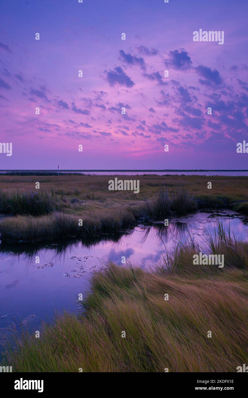 Sunrise in the Chesapeake Bay, the largest estuary in the United States Stock Photohttps://www.alamy.com/image-license-details/?v=1https://www.alamy.com/sunrise-in-the-chesapeake-bay-the-largest-estuary-in-the-united-states-image490230538.html
RF2KDFX1E–Sunrise in the Chesapeake Bay, the largest estuary in the United States
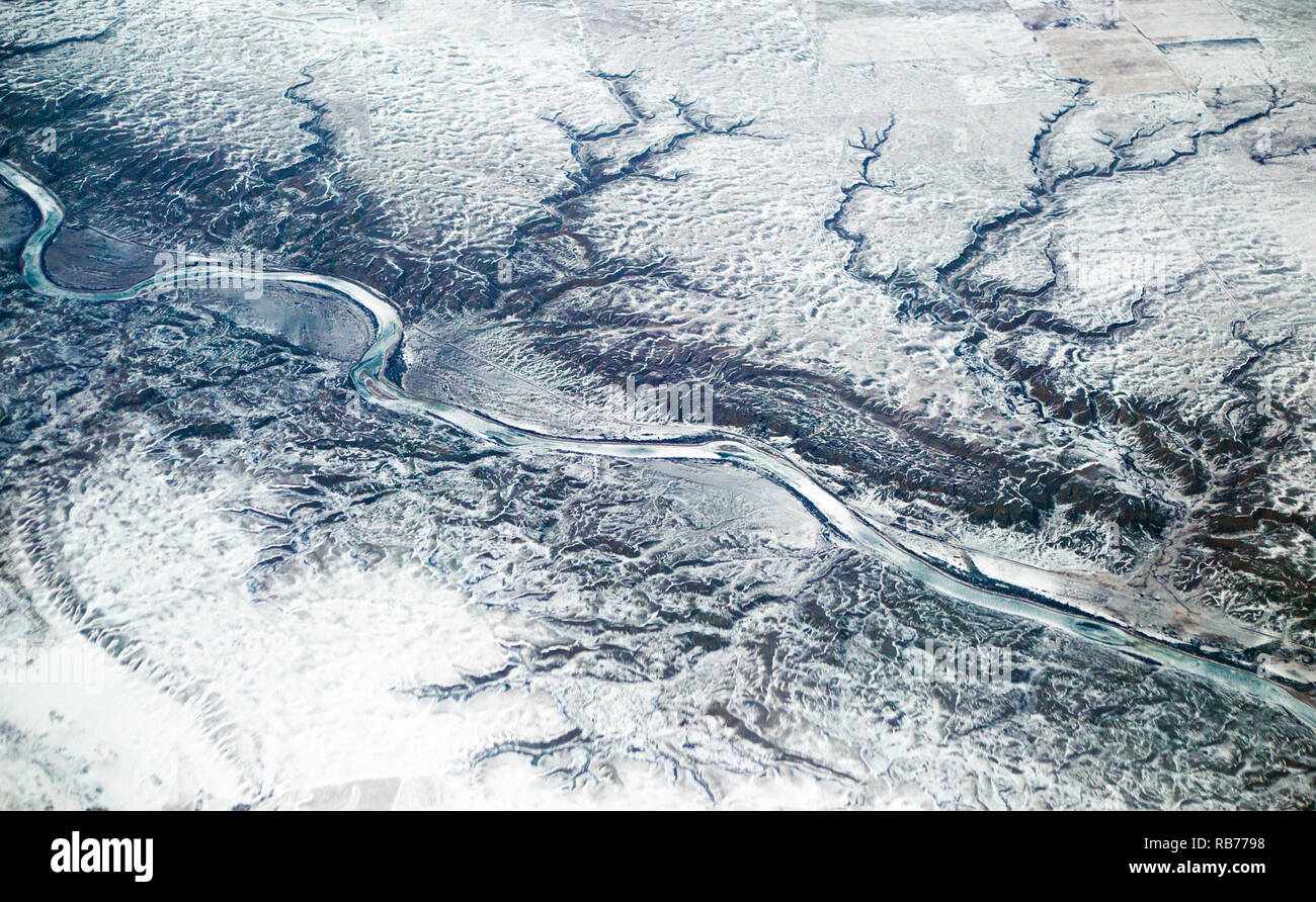 Dendritic river drainage pattern in prairie landscape. Aerial view of the snow covered Red Deer River and rangeland in winter, Alberta, Canada Stock Photohttps://www.alamy.com/image-license-details/?v=1https://www.alamy.com/dendritic-river-drainage-pattern-in-prairie-landscape-aerial-view-of-the-snow-covered-red-deer-river-and-rangeland-in-winter-alberta-canada-image230655412.html
RMRB7798–Dendritic river drainage pattern in prairie landscape. Aerial view of the snow covered Red Deer River and rangeland in winter, Alberta, Canada
 A detail shot looking down on a drainage basin in Canyonlands National Park, Utah, USA. Stock Photohttps://www.alamy.com/image-license-details/?v=1https://www.alamy.com/stock-photo-a-detail-shot-looking-down-on-a-drainage-basin-in-canyonlands-national-35996748.html
RMC2FP64–A detail shot looking down on a drainage basin in Canyonlands National Park, Utah, USA.
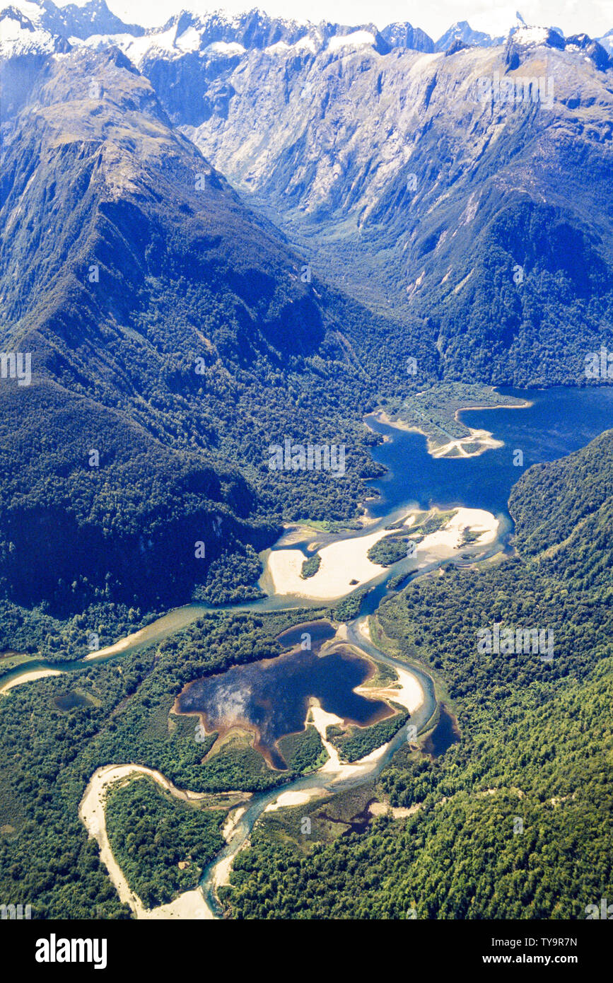 New Zealand, South Island. Flying over the Southern Alps en route to Milford Sound. Northern end of Lake Wakatipu. Photo: © Simon Grosset. Archive: Im Stock Photohttps://www.alamy.com/image-license-details/?v=1https://www.alamy.com/new-zealand-south-island-flying-over-the-southern-alps-en-route-to-milford-sound-northern-end-of-lake-wakatipu-photo-simon-grosset-archive-im-image257756681.html
RMTY9R7N–New Zealand, South Island. Flying over the Southern Alps en route to Milford Sound. Northern end of Lake Wakatipu. Photo: © Simon Grosset. Archive: Im
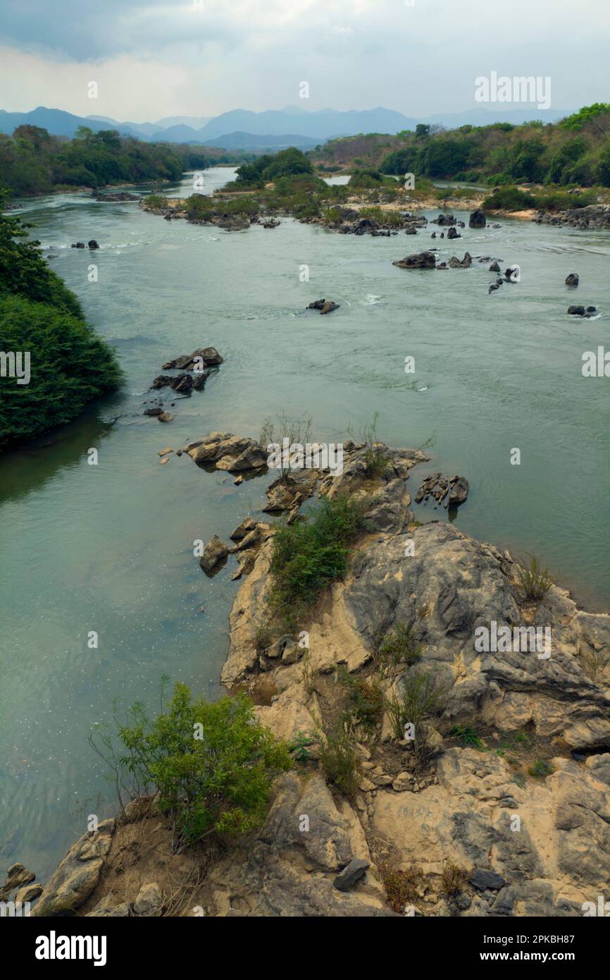 Rio Parana, tributary of Rio Tocantins. Brazilian Highlands, northern Goias State, Brazil Stock Photohttps://www.alamy.com/image-license-details/?v=1https://www.alamy.com/rio-parana-tributary-of-rio-tocantins-brazilian-highlands-northern-goias-state-brazil-image545454903.html
RM2PKBH87–Rio Parana, tributary of Rio Tocantins. Brazilian Highlands, northern Goias State, Brazil
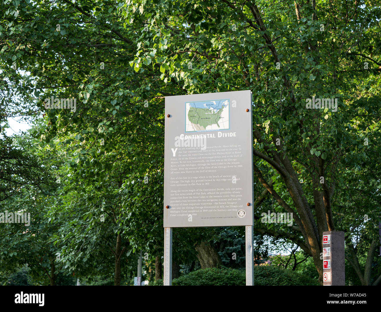 Continental Divide sign. Oak Park, Illinois. Stock Photohttps://www.alamy.com/image-license-details/?v=1https://www.alamy.com/continental-divide-sign-oak-park-illinois-image262687941.html
RFW7AD45–Continental Divide sign. Oak Park, Illinois.
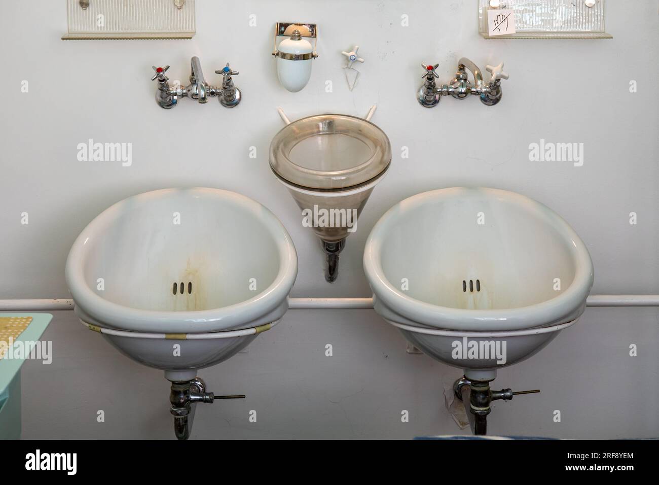 Drainage sputum basin between two silent washbasins at Paimio Sanatorium, former tuberculosis hospital designed by Aino and Alvar Aalto Stock Photohttps://www.alamy.com/image-license-details/?v=1https://www.alamy.com/drainage-sputum-basin-between-two-silent-washbasins-at-paimio-sanatorium-former-tuberculosis-hospital-designed-by-aino-and-alvar-aalto-image560148812.html
RM2RF8YEM–Drainage sputum basin between two silent washbasins at Paimio Sanatorium, former tuberculosis hospital designed by Aino and Alvar Aalto
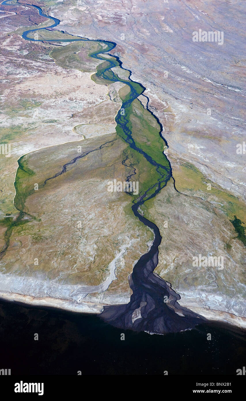 aerial photograph of meandering desert river Arizona Stock Photohttps://www.alamy.com/image-license-details/?v=1https://www.alamy.com/stock-photo-aerial-photograph-of-meandering-desert-river-arizona-30690773.html
RMBNX2B1–aerial photograph of meandering desert river Arizona
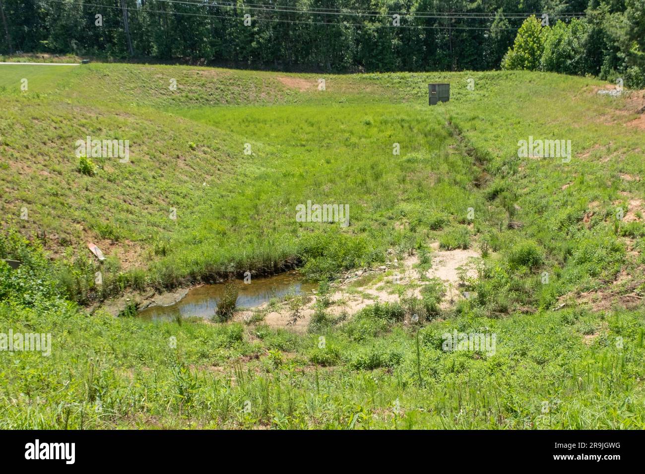 Large drainage ditch lined with grass and weeds behind a subdivision Stock Photohttps://www.alamy.com/image-license-details/?v=1https://www.alamy.com/large-drainage-ditch-lined-with-grass-and-weeds-behind-a-subdivision-image556672076.html
RF2R9JGWG–Large drainage ditch lined with grass and weeds behind a subdivision
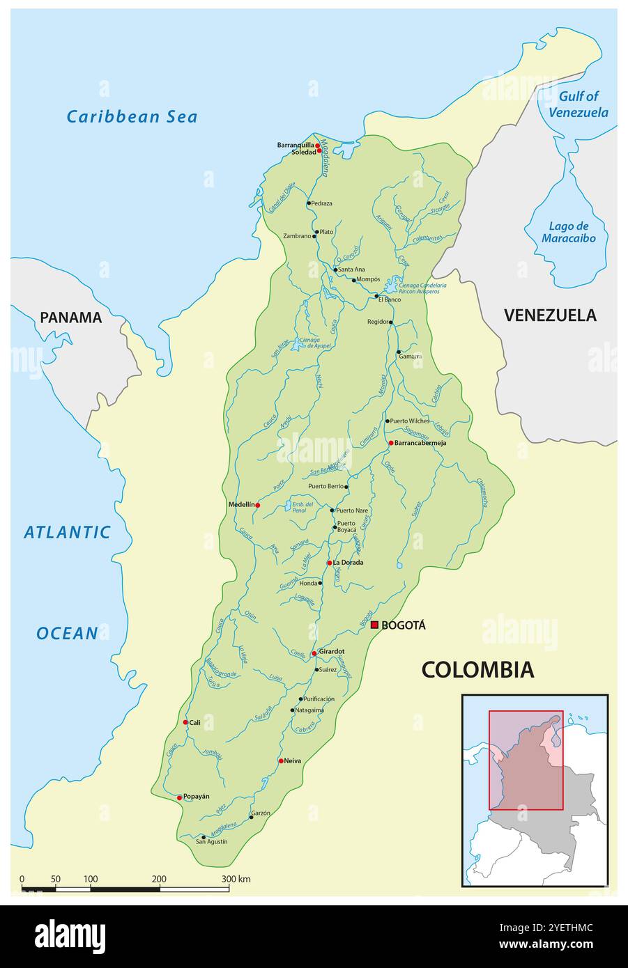 Map of the Magdalena River Drainage Basin, Colombia Stock Photohttps://www.alamy.com/image-license-details/?v=1https://www.alamy.com/map-of-the-magdalena-river-drainage-basin-colombia-image628719180.html
RF2YETHMC–Map of the Magdalena River Drainage Basin, Colombia
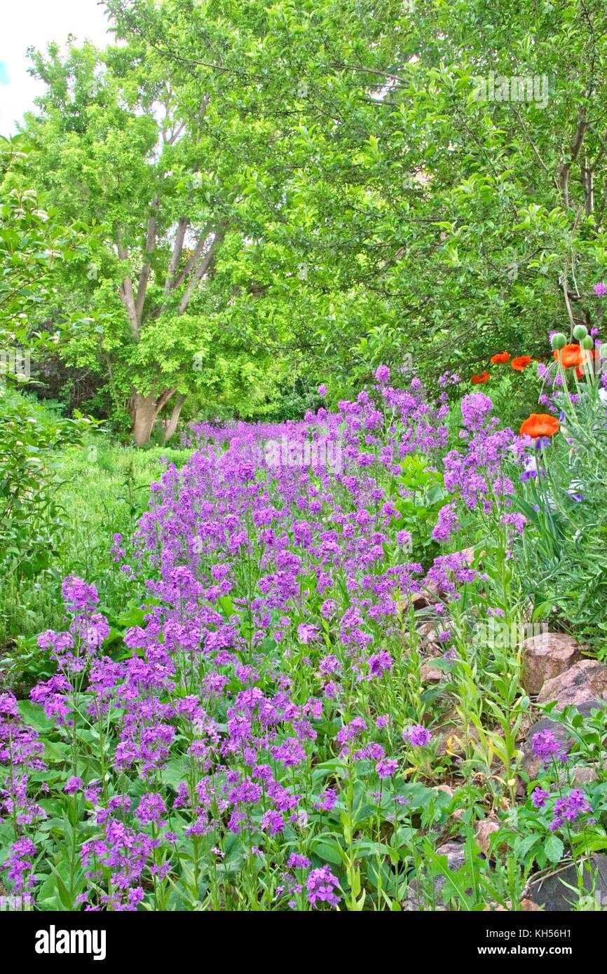 Dame's rocket growing in a drainage basin or swale. Stock Photohttps://www.alamy.com/image-license-details/?v=1https://www.alamy.com/stock-image-dames-rocket-growing-in-a-drainage-basin-or-swale-165457405.html
RFKH56H1–Dame's rocket growing in a drainage basin or swale.
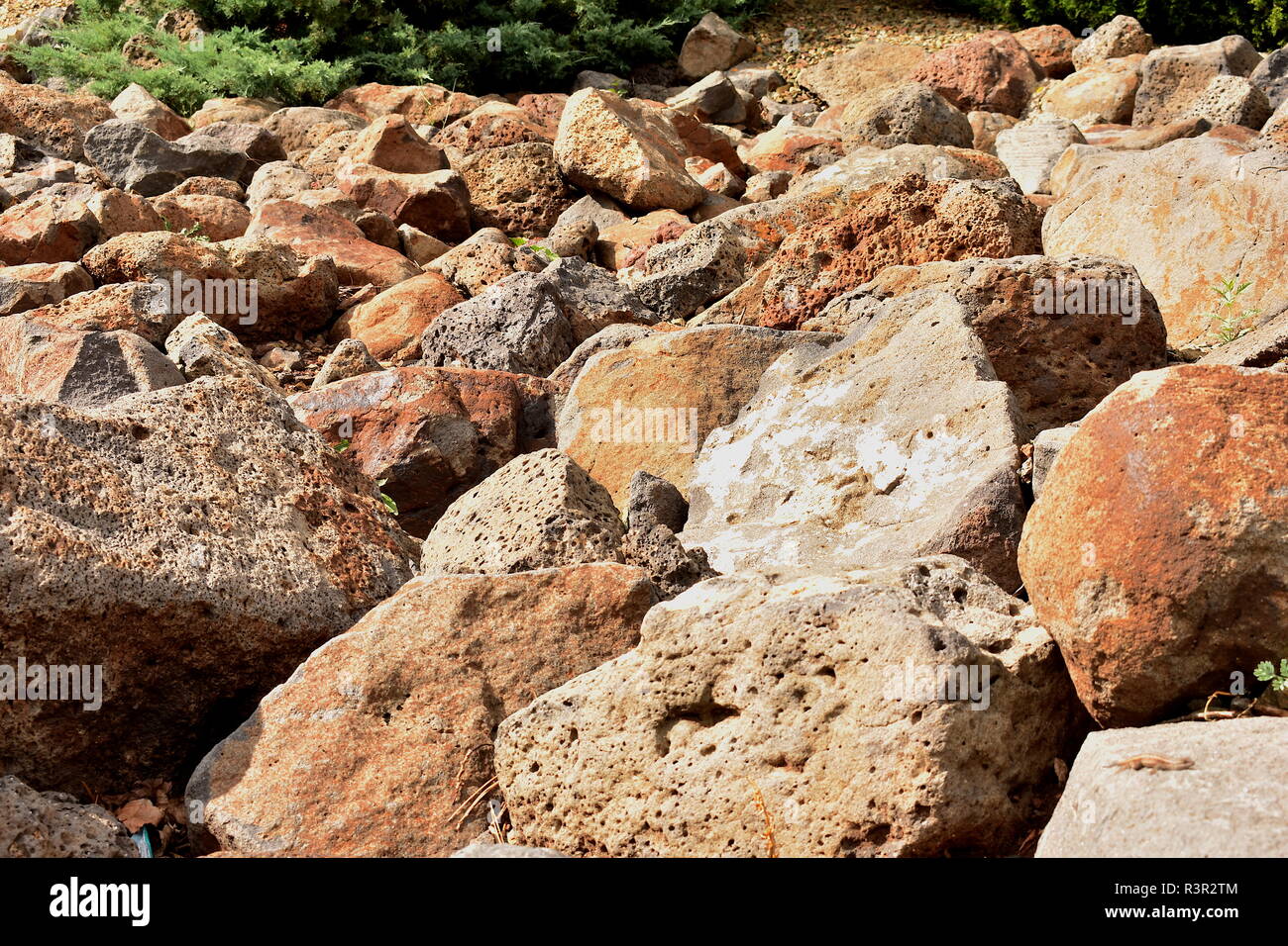 Rock pile as a drainage basin Stock Photohttps://www.alamy.com/image-license-details/?v=1https://www.alamy.com/rock-pile-as-a-drainage-basin-image226085908.html
RFR3R2TM–Rock pile as a drainage basin
 Aerial photography of Namib desert dunes with a pan (endorheic drainage basin). Dune is a hill of loose sand carried for the wind. Namibia. Stock Photohttps://www.alamy.com/image-license-details/?v=1https://www.alamy.com/aerial-photography-of-namib-desert-dunes-with-a-pan-endorheic-drainage-basin-dune-is-a-hill-of-loose-sand-carried-for-the-wind-namibia-image560045780.html
RF2RF4830–Aerial photography of Namib desert dunes with a pan (endorheic drainage basin). Dune is a hill of loose sand carried for the wind. Namibia.
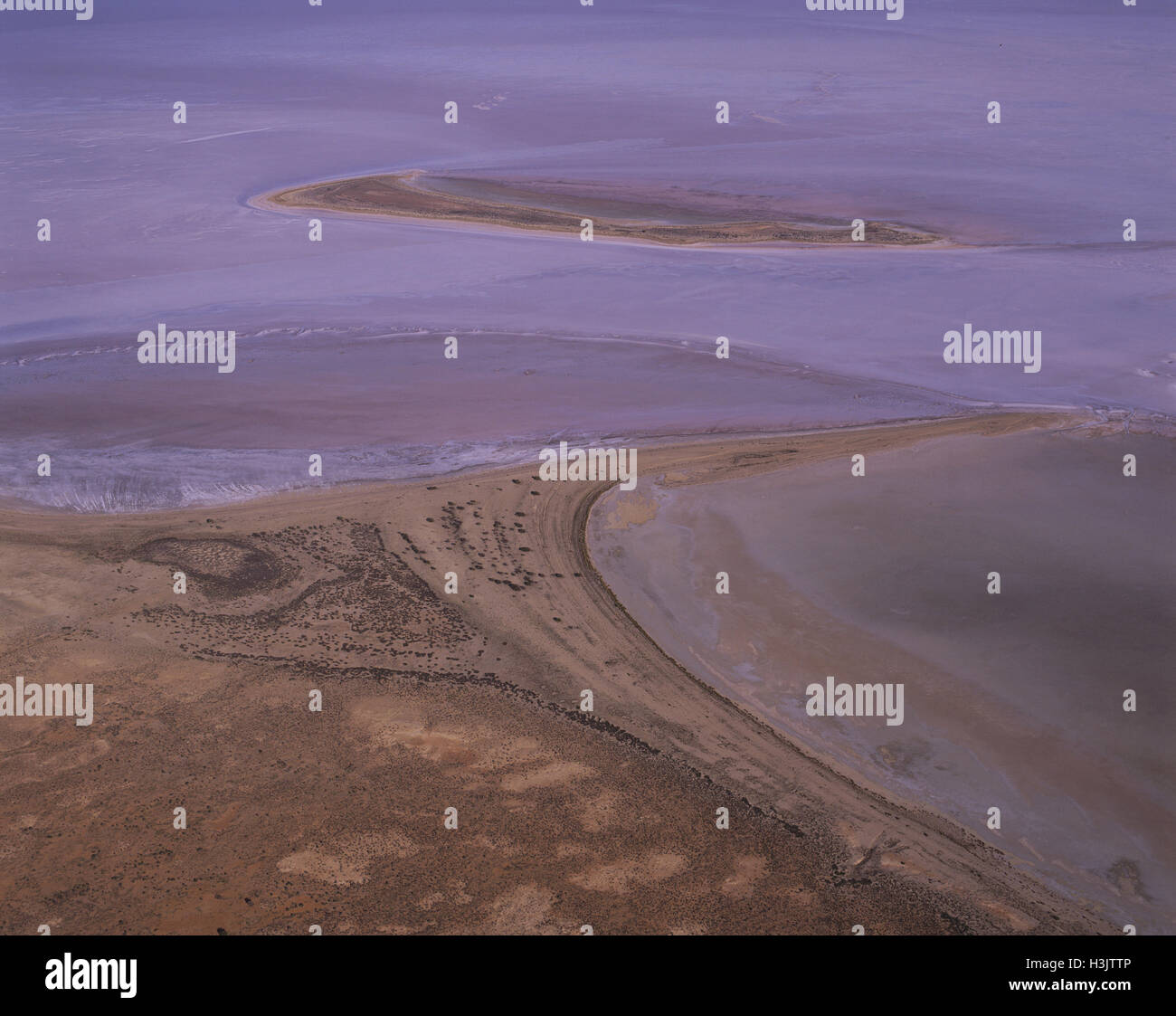 Silcrete Island off Babbage Peninsula, Stock Photohttps://www.alamy.com/image-license-details/?v=1https://www.alamy.com/stock-photo-silcrete-island-off-babbage-peninsula-122731190.html
RMH3JTTP–Silcrete Island off Babbage Peninsula,
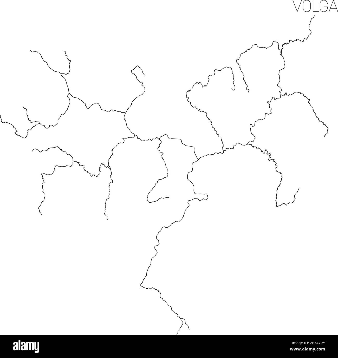 Map of Volga river drainage basin. Simple thin outline vector illustration. Stock Vectorhttps://www.alamy.com/image-license-details/?v=1https://www.alamy.com/map-of-volga-river-drainage-basin-simple-thin-outline-vector-illustration-image360282383.html
RF2BX47RY–Map of Volga river drainage basin. Simple thin outline vector illustration.
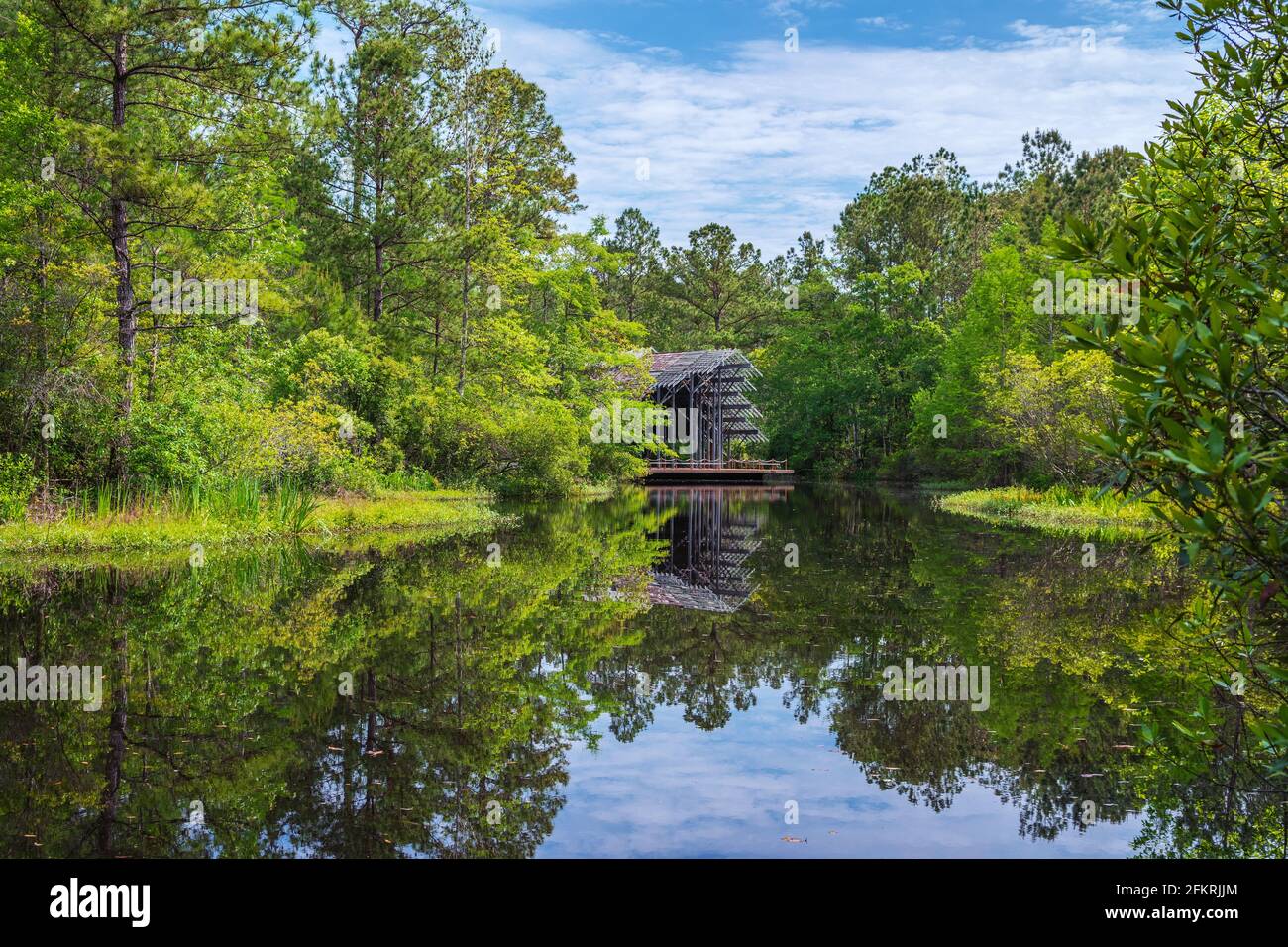 Pinecote Pavilion at the Crosby Arboretum, a conservatory protecting native plants of the Pearl River Drainage Basin of Mississippi and Louisiana. Stock Photohttps://www.alamy.com/image-license-details/?v=1https://www.alamy.com/pinecote-pavilion-at-the-crosby-arboretum-a-conservatory-protecting-native-plants-of-the-pearl-river-drainage-basin-of-mississippi-and-louisiana-image425246828.html
RM2FKRJJM–Pinecote Pavilion at the Crosby Arboretum, a conservatory protecting native plants of the Pearl River Drainage Basin of Mississippi and Louisiana.
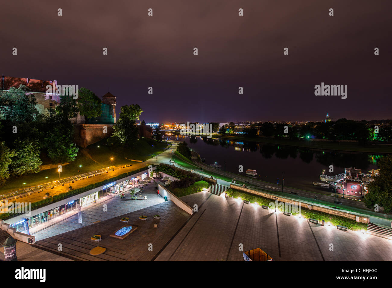 The Vistula (Polish: Wisła) is the longest and largest river in Poland, at 1,047 kilometres in length. The drainage basin area of the Vistula is 194, Stock Photohttps://www.alamy.com/image-license-details/?v=1https://www.alamy.com/stock-photo-the-vistula-polish-wisa-is-the-longest-and-largest-river-in-poland-130099772.html
RFHFJFGC–The Vistula (Polish: Wisła) is the longest and largest river in Poland, at 1,047 kilometres in length. The drainage basin area of the Vistula is 194,
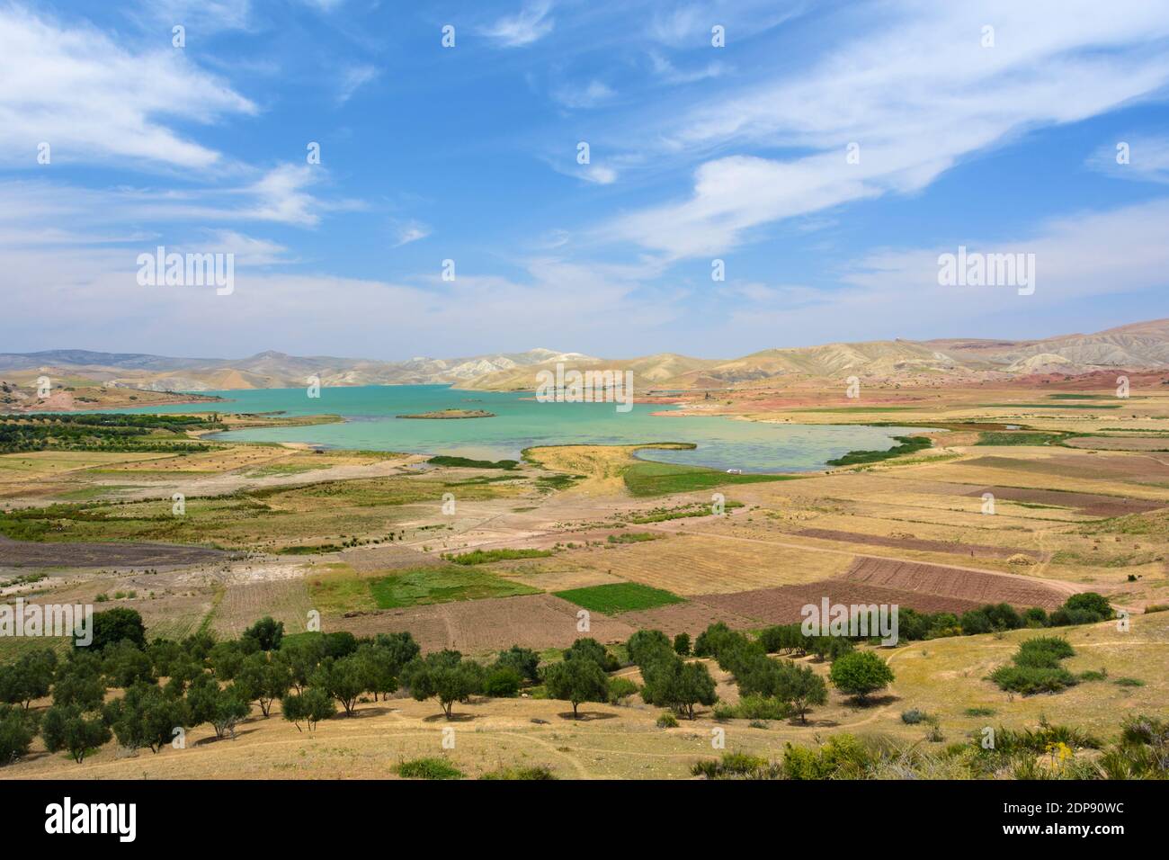 Barrage Sidi Chahed near Fez, Morocco Stock Photohttps://www.alamy.com/image-license-details/?v=1https://www.alamy.com/barrage-sidi-chahed-near-fez-morocco-image392348808.html
RF2DP90WC–Barrage Sidi Chahed near Fez, Morocco
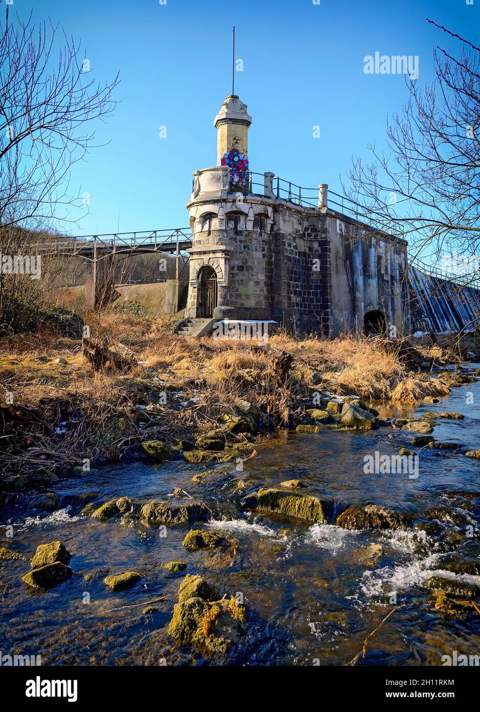 Tower at the endbuilding of the flood retention system of the Viennese river, Austria Stock Photohttps://www.alamy.com/image-license-details/?v=1https://www.alamy.com/tower-at-the-endbuilding-of-the-flood-retention-system-of-the-viennese-river-austria-image448124760.html
RF2H11RKM–Tower at the endbuilding of the flood retention system of the Viennese river, Austria
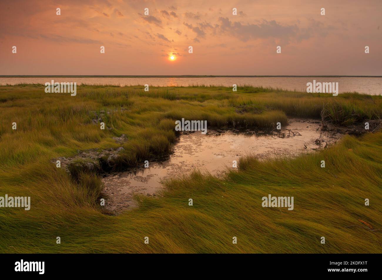 Sunrise in the Chesapeake Bay, the largest estuary in the United States Stock Photohttps://www.alamy.com/image-license-details/?v=1https://www.alamy.com/sunrise-in-the-chesapeake-bay-the-largest-estuary-in-the-united-states-image490230548.html
RF2KDFX1T–Sunrise in the Chesapeake Bay, the largest estuary in the United States
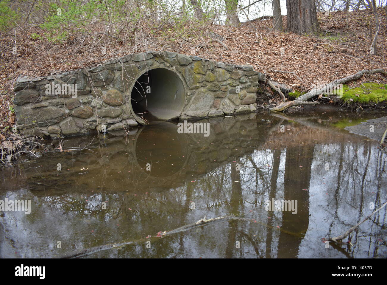 Drainage basin outlet to the 10 Mile River Stock Photohttps://www.alamy.com/image-license-details/?v=1https://www.alamy.com/stock-photo-drainage-basin-outlet-to-the-10-mile-river-140144129.html
RFJ4037D–Drainage basin outlet to the 10 Mile River
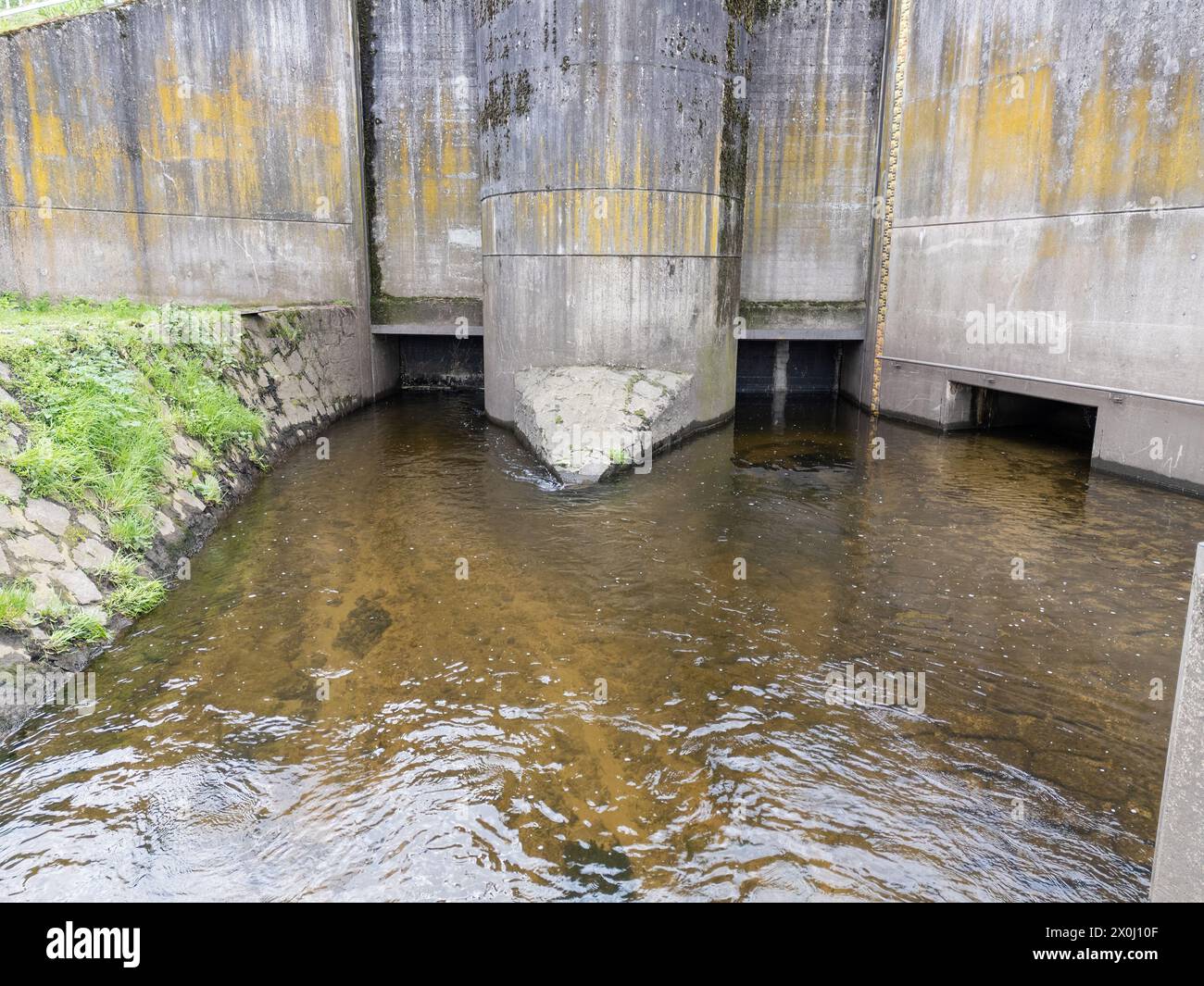 Backwater basin with river and drainage system Stock Photohttps://www.alamy.com/image-license-details/?v=1https://www.alamy.com/backwater-basin-with-river-and-drainage-system-image602758815.html
RF2X0J10F–Backwater basin with river and drainage system
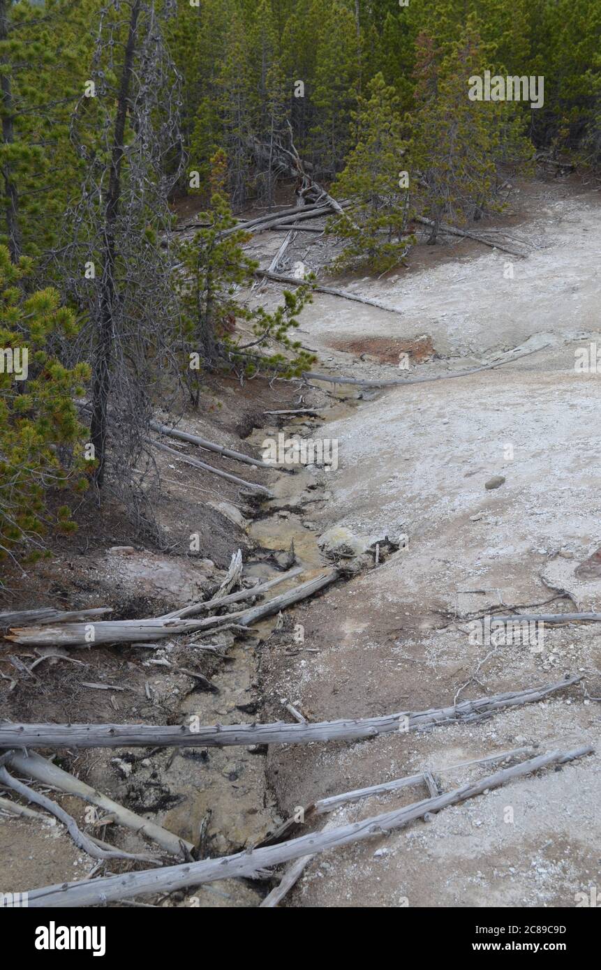 Late Spring in Yellowstone National Park: Drainage Down the Hill From Dr. Allen's Paint Pots in the Back Basin Area of Norris Geyser Basin Stock Photohttps://www.alamy.com/image-license-details/?v=1https://www.alamy.com/late-spring-in-yellowstone-national-park-drainage-down-the-hill-from-dr-allens-paint-pots-in-the-back-basin-area-of-norris-geyser-basin-image366542217.html
RF2C89C9D–Late Spring in Yellowstone National Park: Drainage Down the Hill From Dr. Allen's Paint Pots in the Back Basin Area of Norris Geyser Basin
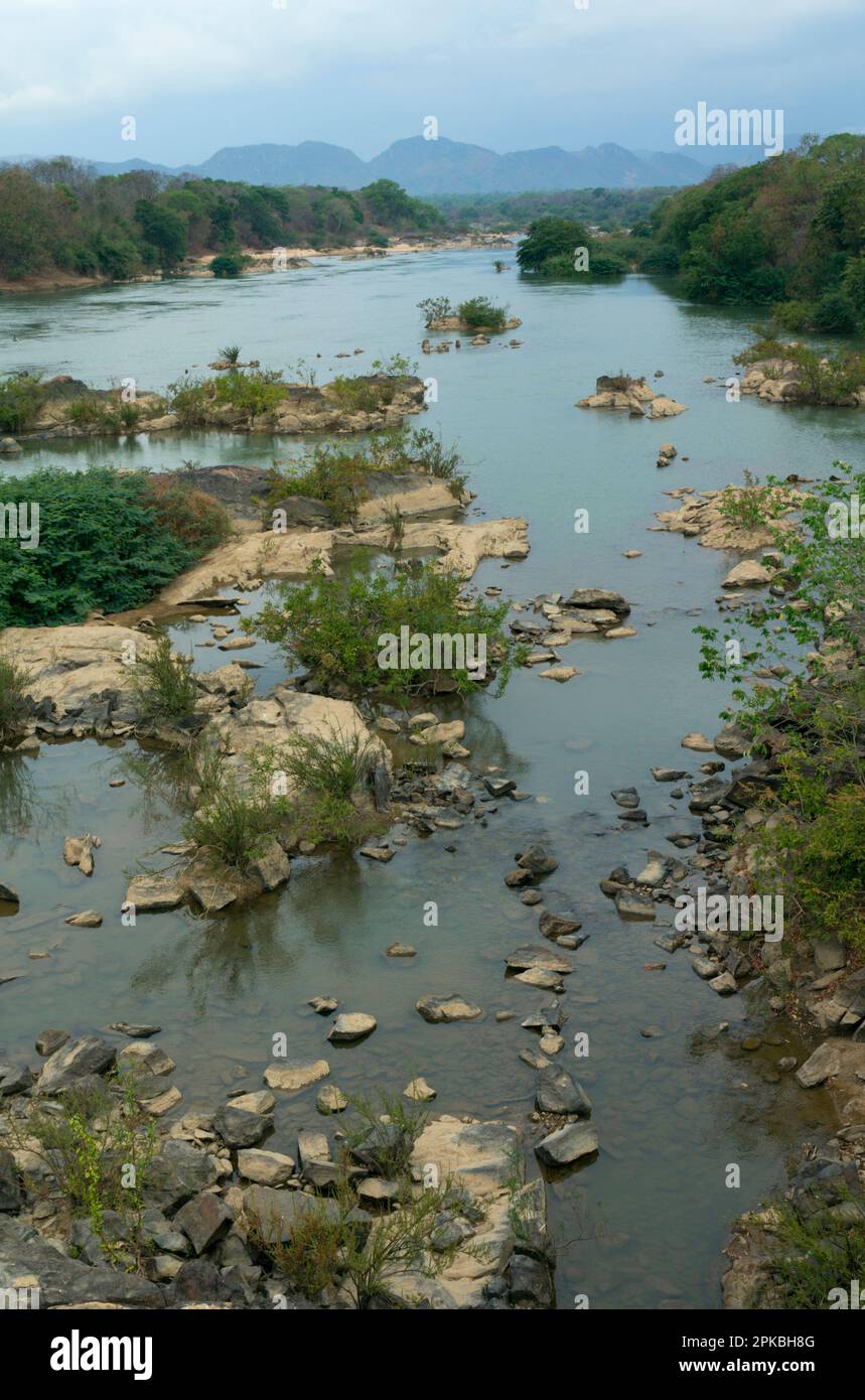 Rio Parana, tributary of Rio Tocantins. Brazilian Highlands, northern Goias State, Brazil Stock Photohttps://www.alamy.com/image-license-details/?v=1https://www.alamy.com/rio-parana-tributary-of-rio-tocantins-brazilian-highlands-northern-goias-state-brazil-image545454912.html
RM2PKBH8G–Rio Parana, tributary of Rio Tocantins. Brazilian Highlands, northern Goias State, Brazil
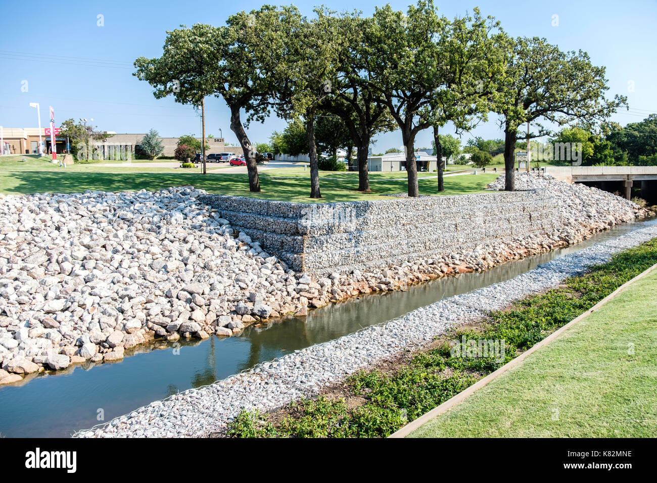 Rip-rap stones shoring up a drainage canal in Oklahoma City, Oklahoma, USA. Stock Photohttps://www.alamy.com/image-license-details/?v=1https://www.alamy.com/rip-rap-stones-shoring-up-a-drainage-canal-in-oklahoma-city-oklahoma-image159870746.html
RMK82MNE–Rip-rap stones shoring up a drainage canal in Oklahoma City, Oklahoma, USA.
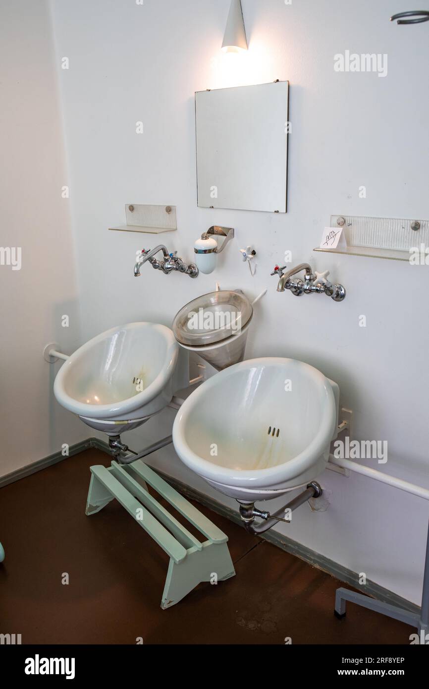 Sputum with drainage between two silent basins at patient room in Paimio Sanatorium, former tuberculosis hospital designed by Aino and Alvar Aalto Stock Photohttps://www.alamy.com/image-license-details/?v=1https://www.alamy.com/sputum-with-drainage-between-two-silent-basins-at-patient-room-in-paimio-sanatorium-former-tuberculosis-hospital-designed-by-aino-and-alvar-aalto-image560148814.html
RM2RF8YEP–Sputum with drainage between two silent basins at patient room in Paimio Sanatorium, former tuberculosis hospital designed by Aino and Alvar Aalto
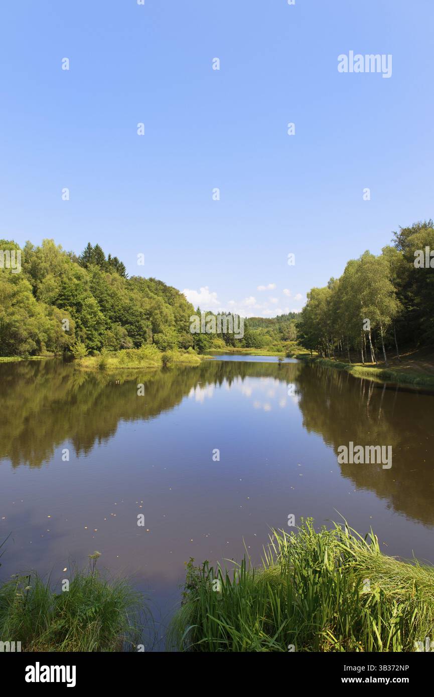 Drainage-basin lake in Treignac in France Stock Photohttps://www.alamy.com/image-license-details/?v=1https://www.alamy.com/drainage-basin-lake-in-treignac-in-france-image673204162.html
RF3B372NP–Drainage-basin lake in Treignac in France
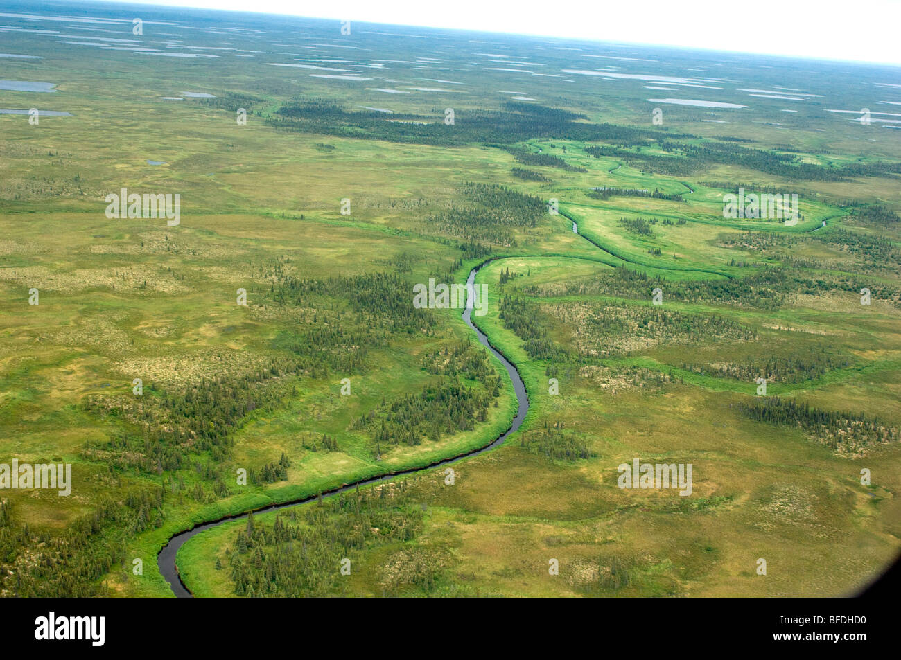 Nushagak River drainage basin, Bristol Bay, Alaska, USA Stock Photohttps://www.alamy.com/image-license-details/?v=1https://www.alamy.com/stock-photo-nushagak-river-drainage-basin-bristol-bay-alaska-usa-26729276.html
RFBFDHD0–Nushagak River drainage basin, Bristol Bay, Alaska, USA
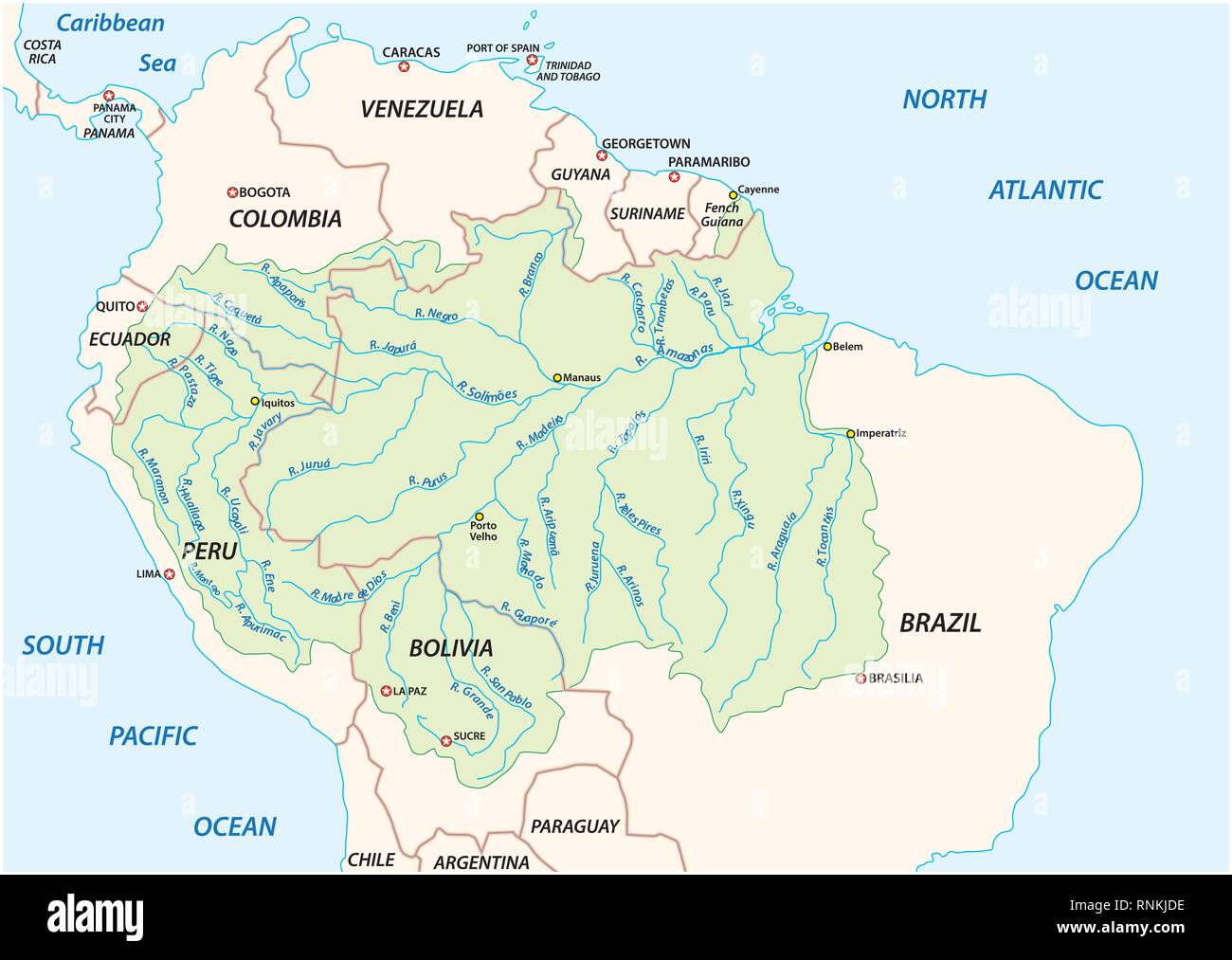 Vector map of the Amazon River drainage basin Stock Vectorhttps://www.alamy.com/image-license-details/?v=1https://www.alamy.com/vector-map-of-the-amazon-river-drainage-basin-image237074138.html
RFRNKJDE–Vector map of the Amazon River drainage basin
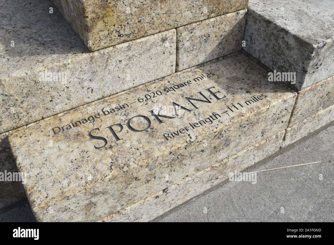 The stone blocks that make up the new Columbia River Water feature at Vancouver Waterfront Park are inscribed with drainage basin details. Stock Photohttps://www.alamy.com/image-license-details/?v=1https://www.alamy.com/the-stone-blocks-that-make-up-the-new-columbia-river-water-feature-at-vancouver-waterfront-park-are-inscribed-with-drainage-basin-details-image327954073.html
RF2A1FGND–The stone blocks that make up the new Columbia River Water feature at Vancouver Waterfront Park are inscribed with drainage basin details.
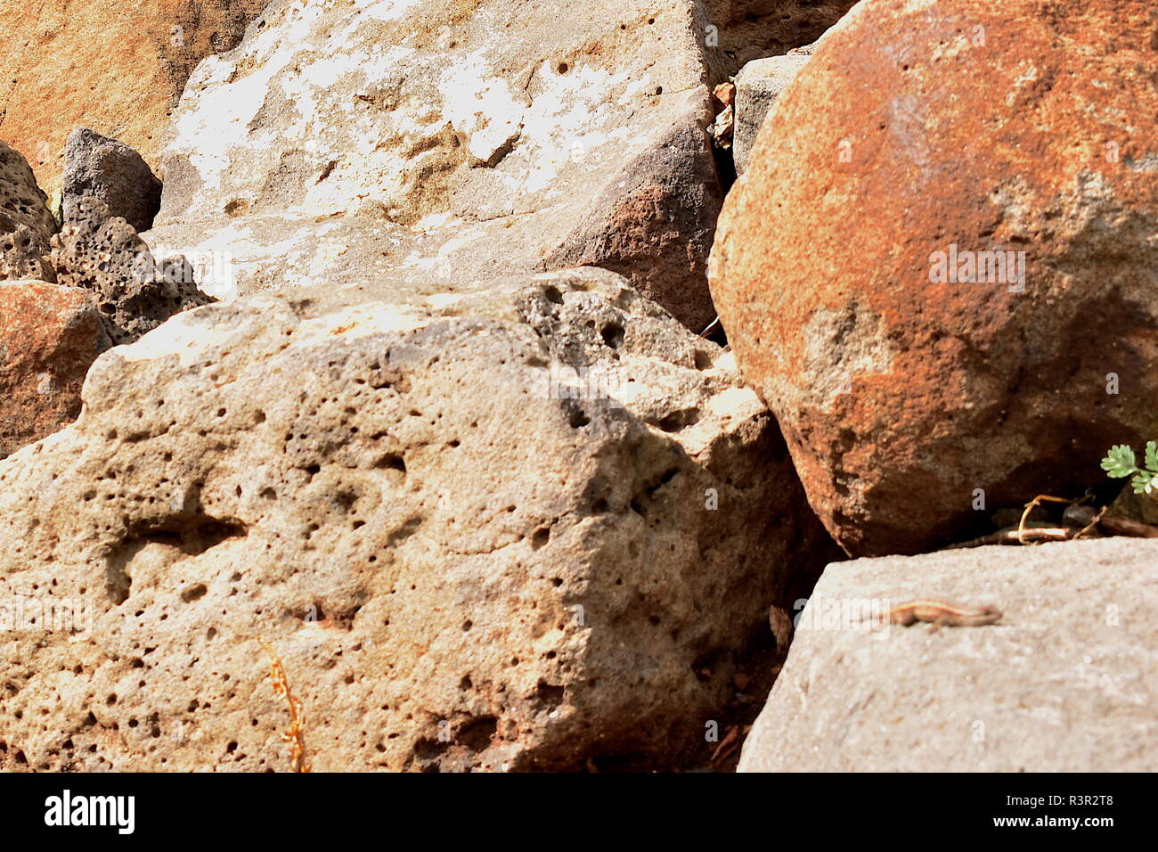 Photo-bombing tiny lizard sun bathing on a rock in a drainage basin. Stock Photohttps://www.alamy.com/image-license-details/?v=1https://www.alamy.com/photo-bombing-tiny-lizard-sun-bathing-on-a-rock-in-a-drainage-basin-image226085896.html
RFR3R2T8–Photo-bombing tiny lizard sun bathing on a rock in a drainage basin.
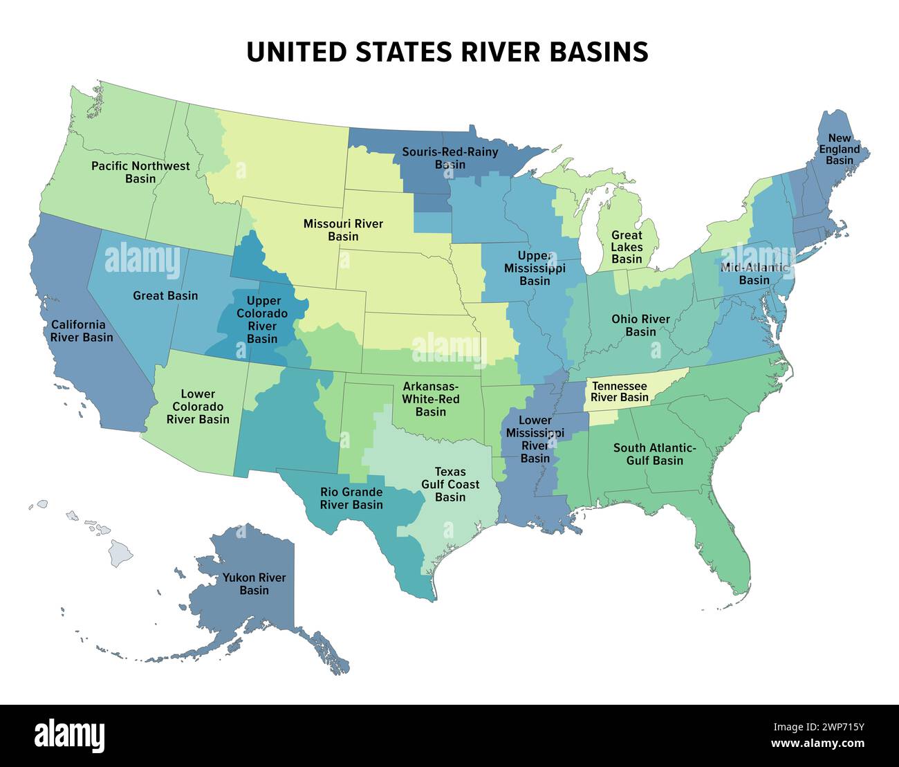 United States major river basins, political map. Nineteen major river basins, highlighted in different colors. Also with the borders of the states. Stock Photohttps://www.alamy.com/image-license-details/?v=1https://www.alamy.com/united-states-major-river-basins-political-map-nineteen-major-river-basins-highlighted-in-different-colors-also-with-the-borders-of-the-states-image598829559.html
RF2WP715Y–United States major river basins, political map. Nineteen major river basins, highlighted in different colors. Also with the borders of the states.
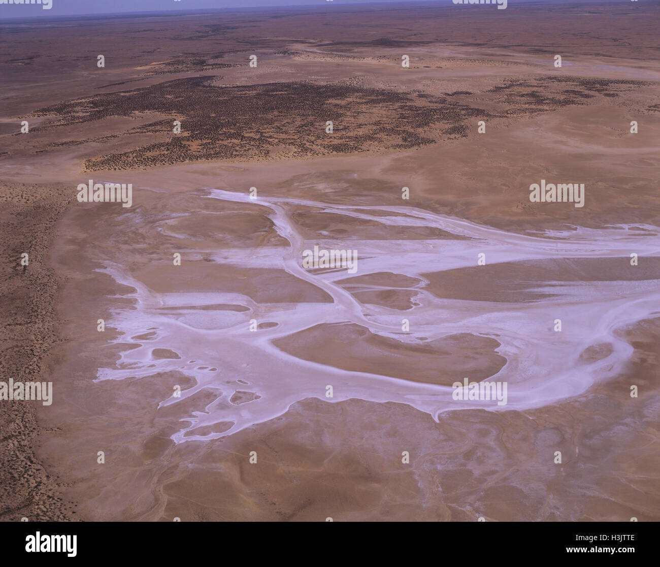 Saline creek near Emeroo Point, Stock Photohttps://www.alamy.com/image-license-details/?v=1https://www.alamy.com/stock-photo-saline-creek-near-emeroo-point-122731182.html
RMH3JTTE–Saline creek near Emeroo Point,
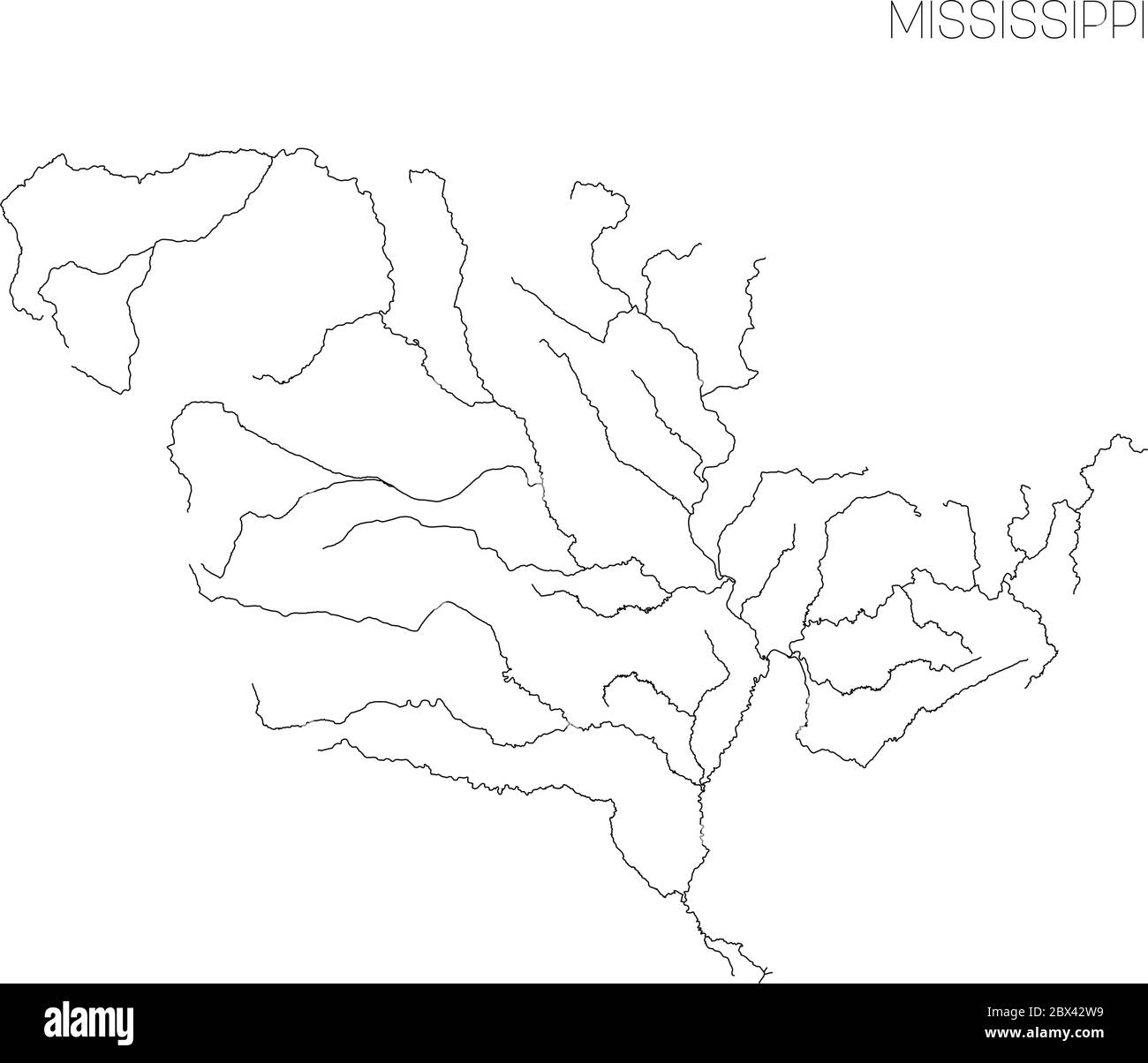 Map of Mississippi river drainage basin. Simple thin outline vector illustration. Stock Vectorhttps://www.alamy.com/image-license-details/?v=1https://www.alamy.com/map-of-mississippi-river-drainage-basin-simple-thin-outline-vector-illustration-image360278501.html
RF2BX42W9–Map of Mississippi river drainage basin. Simple thin outline vector illustration.
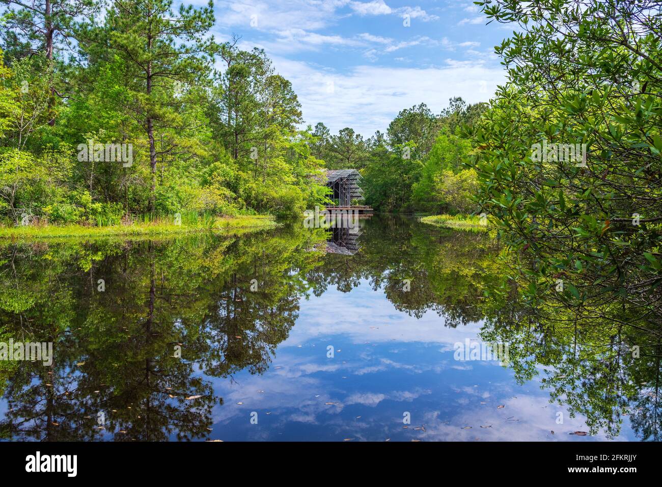 Pinecote Pavilion at the Crosby Arboretum, a conservatory protecting native plants of the Pearl River Drainage Basin of Mississippi and Louisiana. Stock Photohttps://www.alamy.com/image-license-details/?v=1https://www.alamy.com/pinecote-pavilion-at-the-crosby-arboretum-a-conservatory-protecting-native-plants-of-the-pearl-river-drainage-basin-of-mississippi-and-louisiana-image425246835.html
RM2FKRJJY–Pinecote Pavilion at the Crosby Arboretum, a conservatory protecting native plants of the Pearl River Drainage Basin of Mississippi and Louisiana.
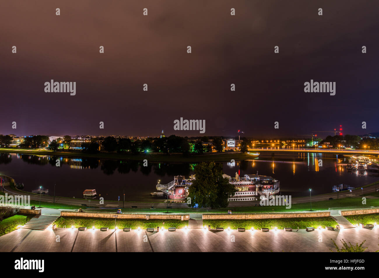 The Vistula (Polish: Wisła) is the longest and largest river in Poland, at 1,047 kilometres in length. The drainage basin area of the Vistula is 194, Stock Photohttps://www.alamy.com/image-license-details/?v=1https://www.alamy.com/stock-photo-the-vistula-polish-wisa-is-the-longest-and-largest-river-in-poland-130099773.html
RFHFJFGD–The Vistula (Polish: Wisła) is the longest and largest river in Poland, at 1,047 kilometres in length. The drainage basin area of the Vistula is 194,
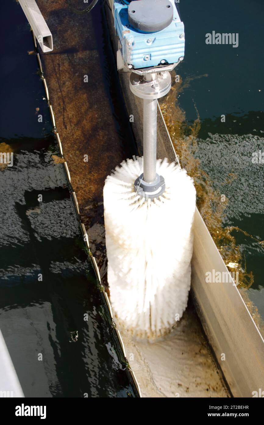 Brush for cleaning the drainage channel in the secondary clarification tank of a sewage treatment plant Stock Photohttps://www.alamy.com/image-license-details/?v=1https://www.alamy.com/brush-for-cleaning-the-drainage-channel-in-the-secondary-clarification-tank-of-a-sewage-treatment-plant-image569424403.html
RF2T2BEHR–Brush for cleaning the drainage channel in the secondary clarification tank of a sewage treatment plant
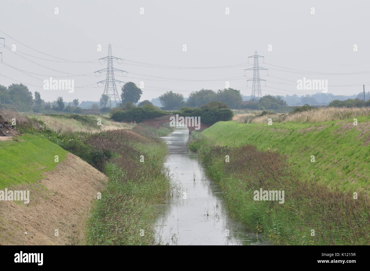 bridge on Mill Basin drain at OS grid 582146 Norfolk Fens England UK Stock Photohttps://www.alamy.com/image-license-details/?v=1https://www.alamy.com/bridge-on-mill-basin-drain-at-os-grid-582146-norfolk-fens-england-image155552819.html
RMK1215R–bridge on Mill Basin drain at OS grid 582146 Norfolk Fens England UK
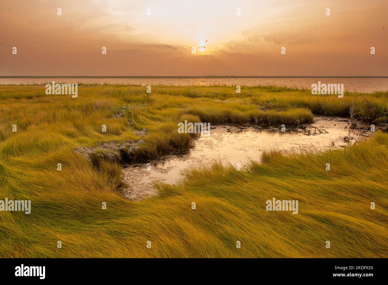 Sunrise in the Chesapeake Bay, the largest estuary in the United States Stock Photohttps://www.alamy.com/image-license-details/?v=1https://www.alamy.com/sunrise-in-the-chesapeake-bay-the-largest-estuary-in-the-united-states-image490230606.html
RF2KDFX3X–Sunrise in the Chesapeake Bay, the largest estuary in the United States
 Polluted stream, Shoe Basin Mine, and mountains above Peru Creek, White River National Forest, near Montezuma, Colorado USA Stock Photohttps://www.alamy.com/image-license-details/?v=1https://www.alamy.com/stock-photo-polluted-stream-shoe-basin-mine-and-mountains-above-peru-creek-white-114403890.html
RMGJ3F96–Polluted stream, Shoe Basin Mine, and mountains above Peru Creek, White River National Forest, near Montezuma, Colorado USA
 Backwater basin with river and drainage system Stock Photohttps://www.alamy.com/image-license-details/?v=1https://www.alamy.com/backwater-basin-with-river-and-drainage-system-image602758802.html
RF2X0J102–Backwater basin with river and drainage system
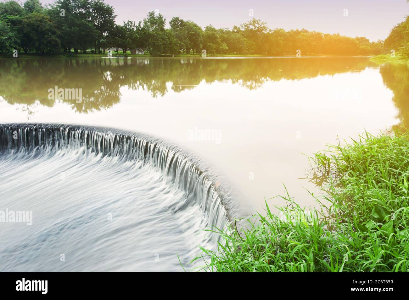 Landscape of the Bell mouth spillway on rain morning. Long exposure. Stock Photohttps://www.alamy.com/image-license-details/?v=1https://www.alamy.com/landscape-of-the-bell-mouth-spillway-on-rain-morning-long-exposure-image365637379.html
RF2C6T65R–Landscape of the Bell mouth spillway on rain morning. Long exposure.
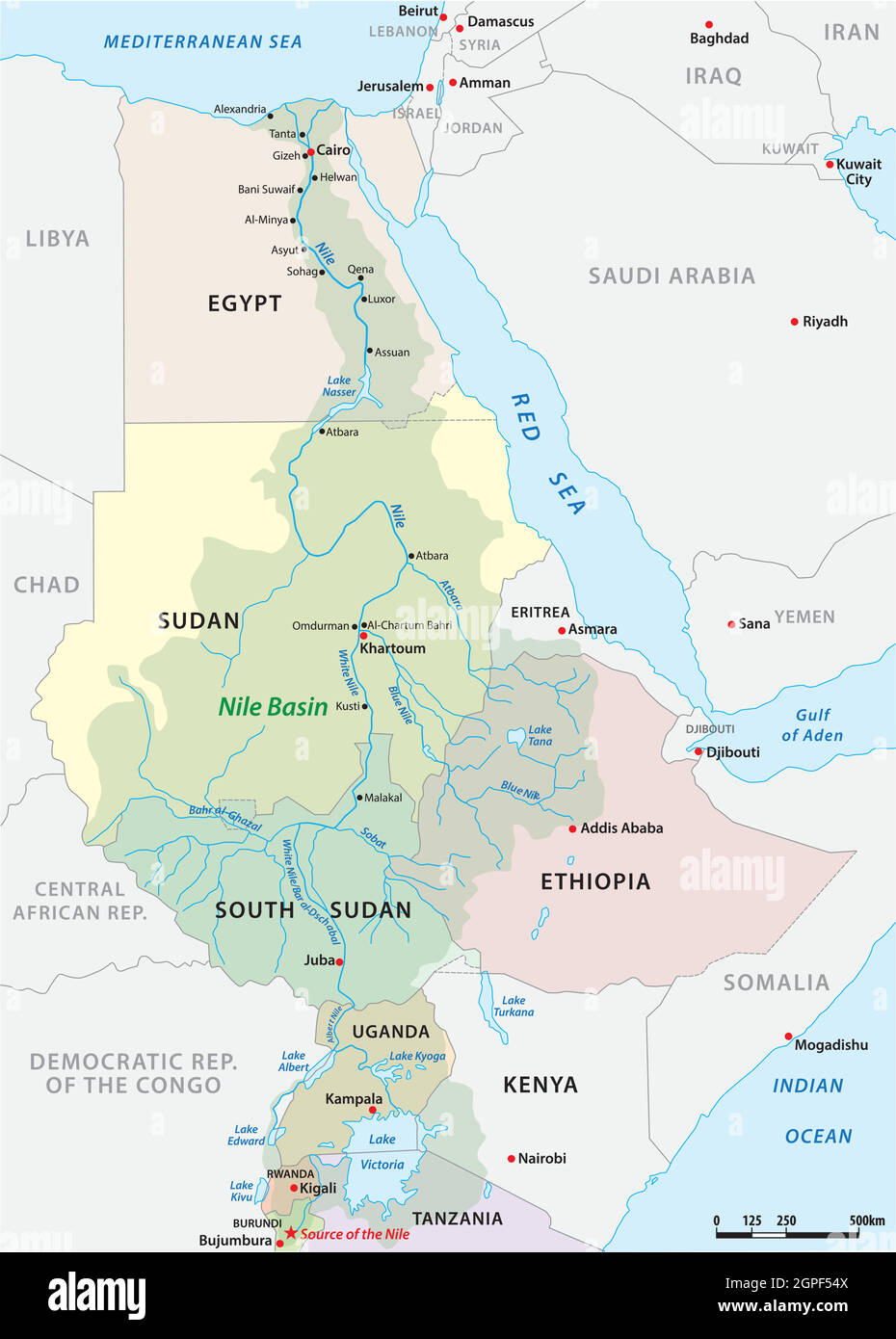 vector map of the nile river basin Stock Vectorhttps://www.alamy.com/image-license-details/?v=1https://www.alamy.com/vector-map-of-the-nile-river-basin-image444114970.html
RF2GPF54X–vector map of the nile river basin
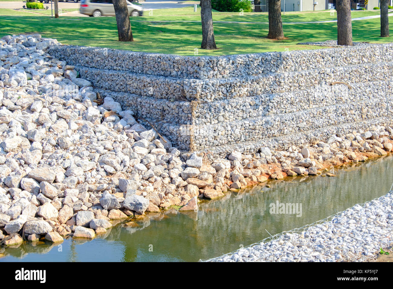 Reinforced drainage canal with rock reinforcement providing rain runoff control in Oklahoma City, Oklahoma, USA. Stock Photohttps://www.alamy.com/image-license-details/?v=1https://www.alamy.com/stock-image-reinforced-drainage-canal-with-rock-reinforcement-providing-rain-runoff-164244591.html
RMKF5YJ7–Reinforced drainage canal with rock reinforcement providing rain runoff control in Oklahoma City, Oklahoma, USA.
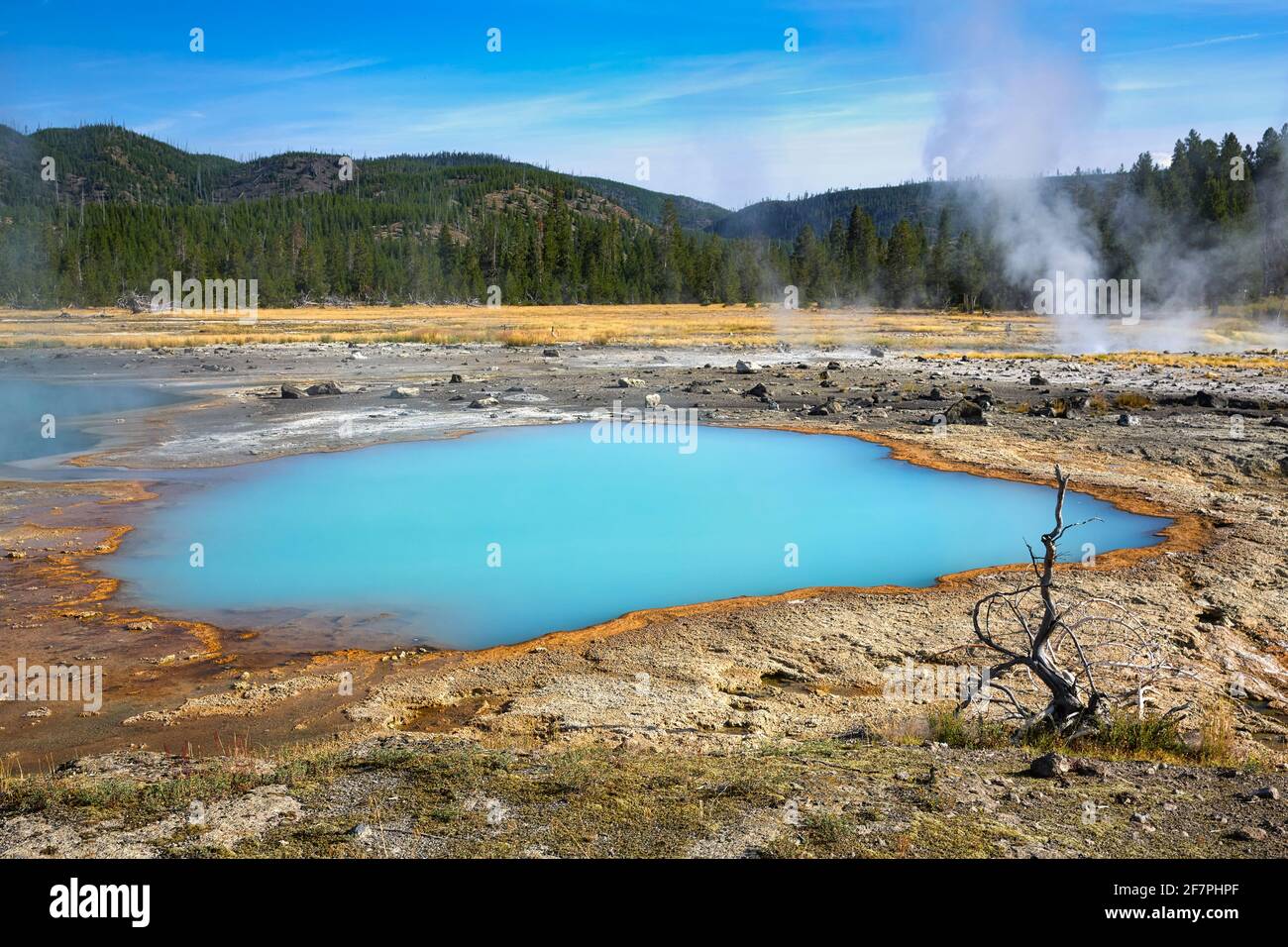 Black Sand Basin. Black Opal Pool In the Yellowstone National Park. Wyoming. USA. Stock Photohttps://www.alamy.com/image-license-details/?v=1https://www.alamy.com/black-sand-basin-black-opal-pool-in-the-yellowstone-national-park-wyoming-usa-image417848327.html
RM2F7PHPF–Black Sand Basin. Black Opal Pool In the Yellowstone National Park. Wyoming. USA.
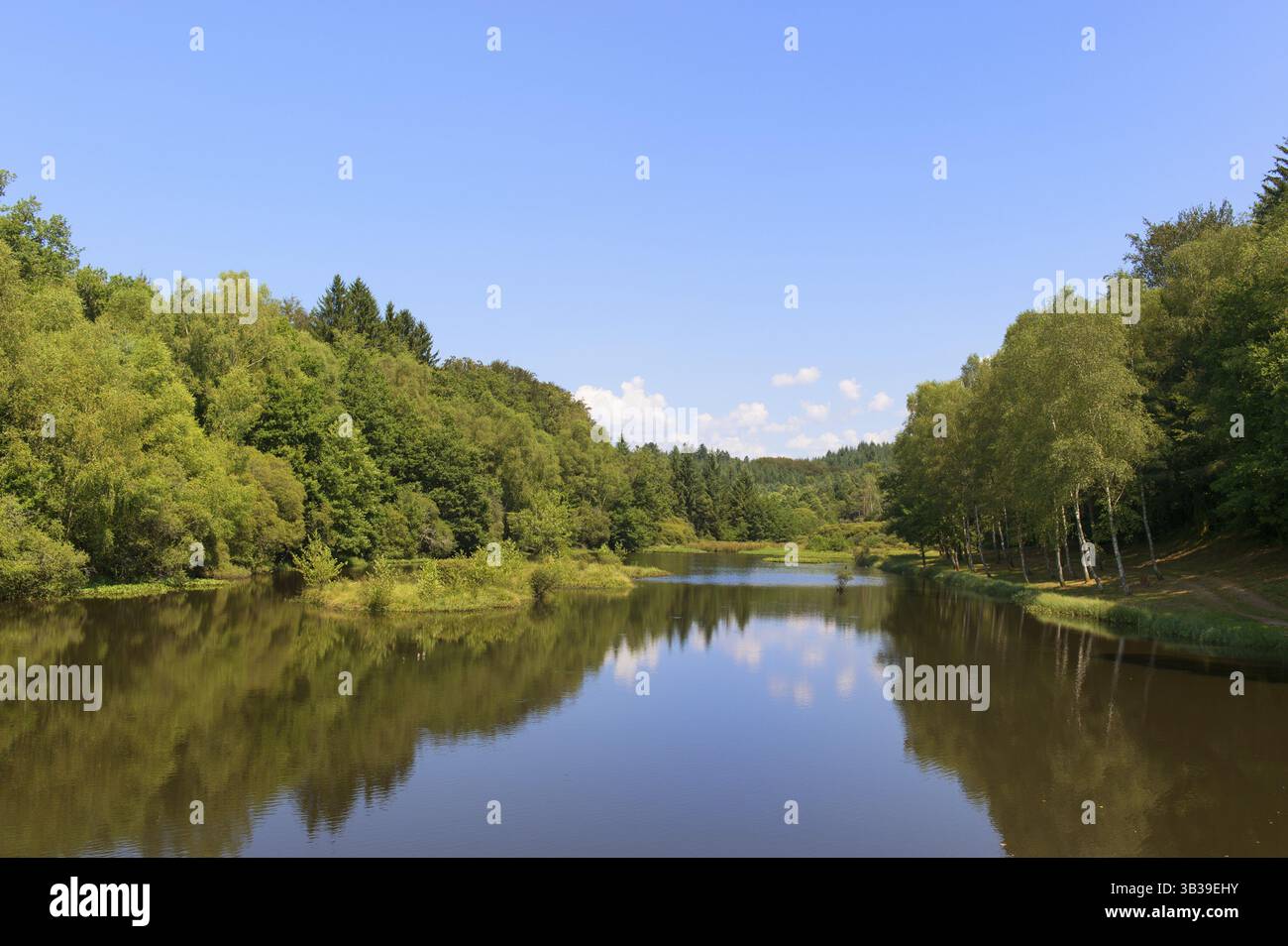 Drainage-basin lake in Treignac in France Stock Photohttps://www.alamy.com/image-license-details/?v=1https://www.alamy.com/drainage-basin-lake-in-treignac-in-france-image673257367.html
RF3B39EHY–Drainage-basin lake in Treignac in France
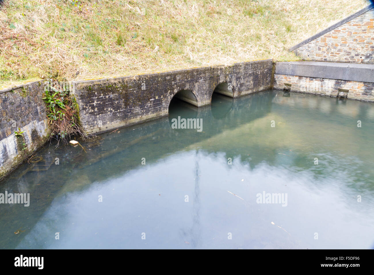 Drainage pipes leading to Resolven Basin, Neath Canal. Resolven, Vale of Neath, Port Talbot, Wales, United Kingdom. Stock Photohttps://www.alamy.com/image-license-details/?v=1https://www.alamy.com/stock-photo-drainage-pipes-leading-to-resolven-basin-neath-canal-resolven-vale-89422514.html
RMF5DF96–Drainage pipes leading to Resolven Basin, Neath Canal. Resolven, Vale of Neath, Port Talbot, Wales, United Kingdom.
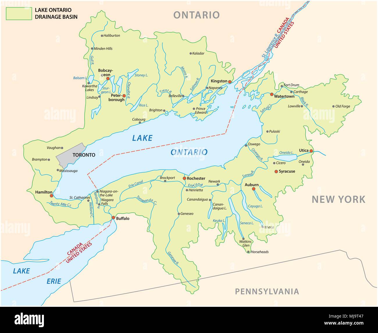 lake ontario drainage basin vector map Stock Vectorhttps://www.alamy.com/image-license-details/?v=1https://www.alamy.com/lake-ontario-drainage-basin-vector-map-image183383991.html
RFMJ9T47–lake ontario drainage basin vector map
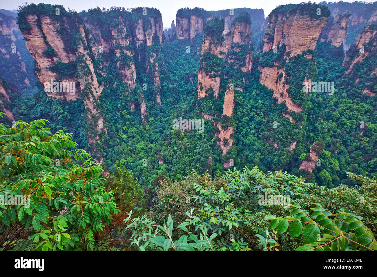 The site lies in the Wulingyuan District of the city of Dayong and covers the entire drainage basin of the Suoxi Brook, which wi Stock Photohttps://www.alamy.com/image-license-details/?v=1https://www.alamy.com/stock-photo-the-site-lies-in-the-wulingyuan-district-of-the-city-of-dayong-and-72676587.html
RME66KMB–The site lies in the Wulingyuan District of the city of Dayong and covers the entire drainage basin of the Suoxi Brook, which wi
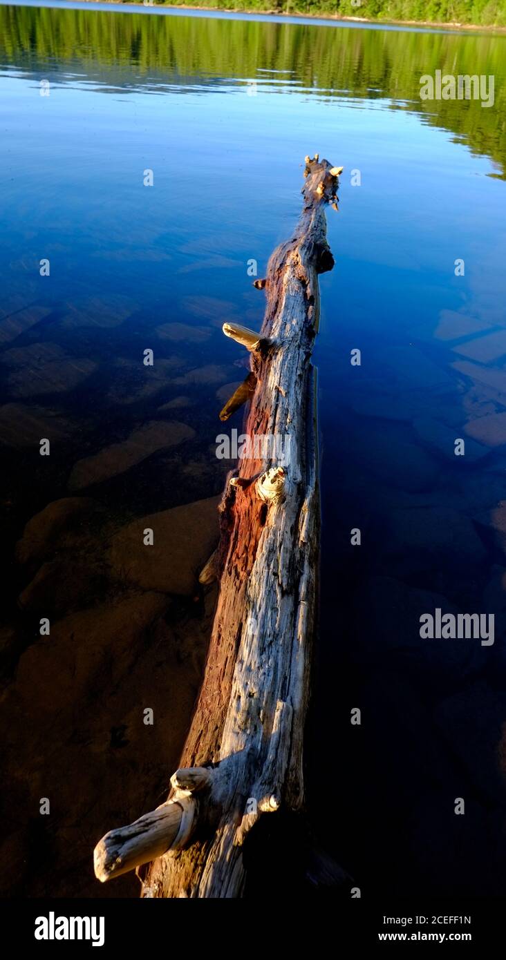 Cooper Lake, located in Lake Hill, Ulster County, New York, is the largest natural lake in the Catskill Mountains. It ha a 9 sq. miles drainage basin Stock Photohttps://www.alamy.com/image-license-details/?v=1https://www.alamy.com/cooper-lake-located-in-lake-hill-ulster-county-new-york-is-the-largest-natural-lake-in-the-catskill-mountains-it-ha-a-9-sq-miles-drainage-basin-image370364001.html
RF2CEFF1N–Cooper Lake, located in Lake Hill, Ulster County, New York, is the largest natural lake in the Catskill Mountains. It ha a 9 sq. miles drainage basin
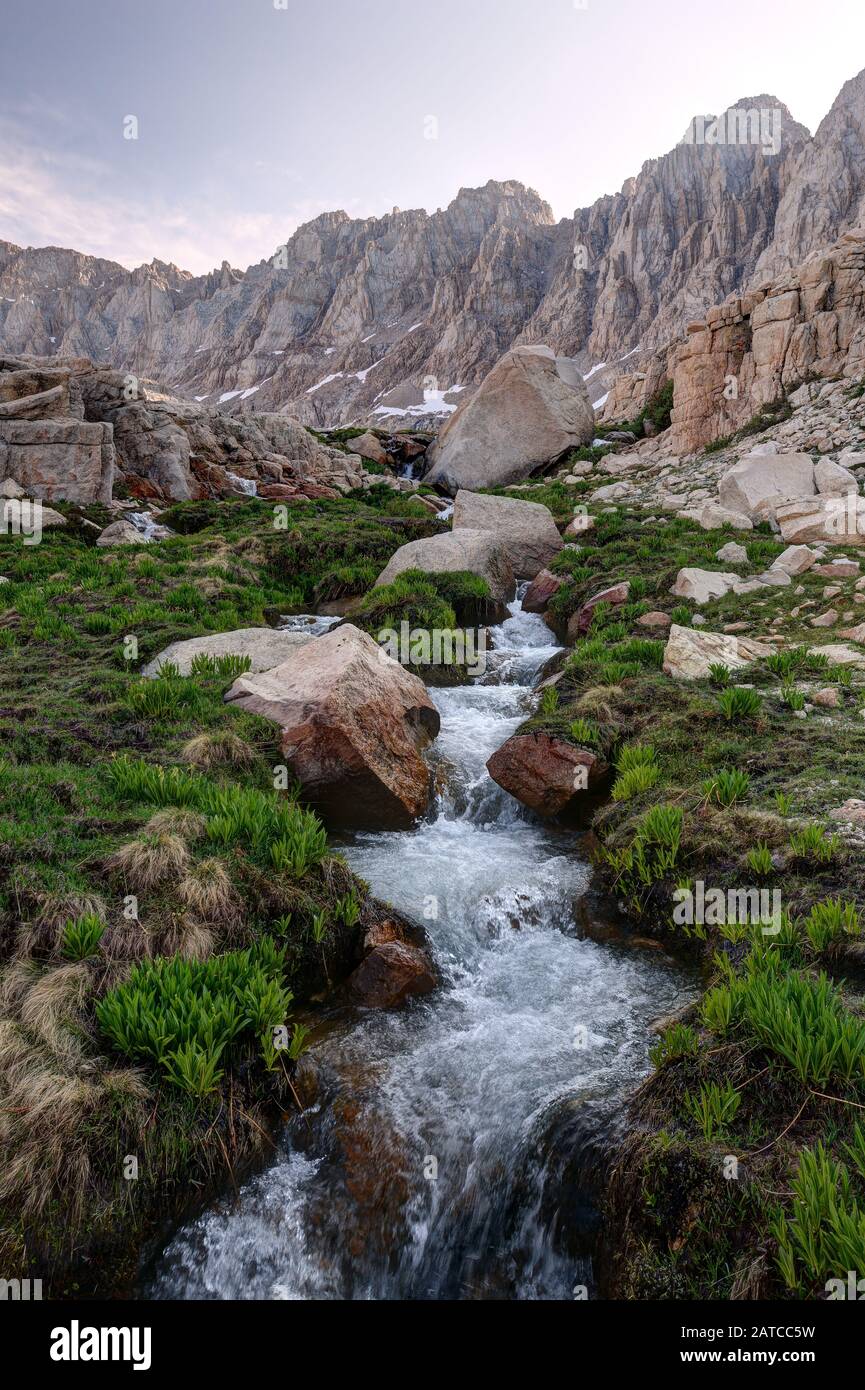 Iridescent Lake Drainage in the Miter Basin, Sequoia National Park, California, USA Stock Photohttps://www.alamy.com/image-license-details/?v=1https://www.alamy.com/iridescent-lake-drainage-in-the-miter-basin-sequoia-national-park-california-usa-image342021733.html
RF2ATCC5W–Iridescent Lake Drainage in the Miter Basin, Sequoia National Park, California, USA
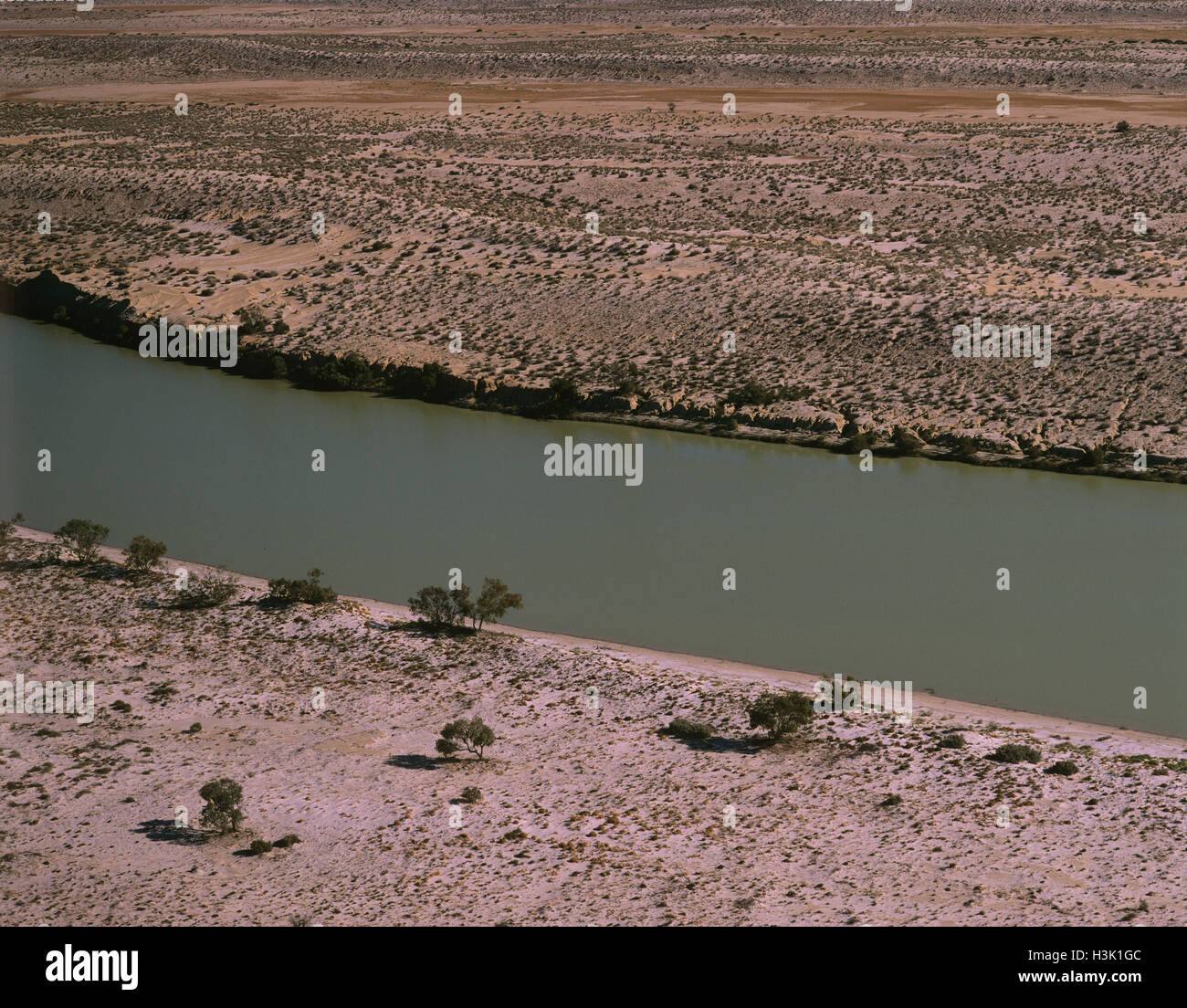 Warburton River Stock Photohttps://www.alamy.com/image-license-details/?v=1https://www.alamy.com/stock-photo-warburton-river-122734876.html
RMH3K1GC–Warburton River
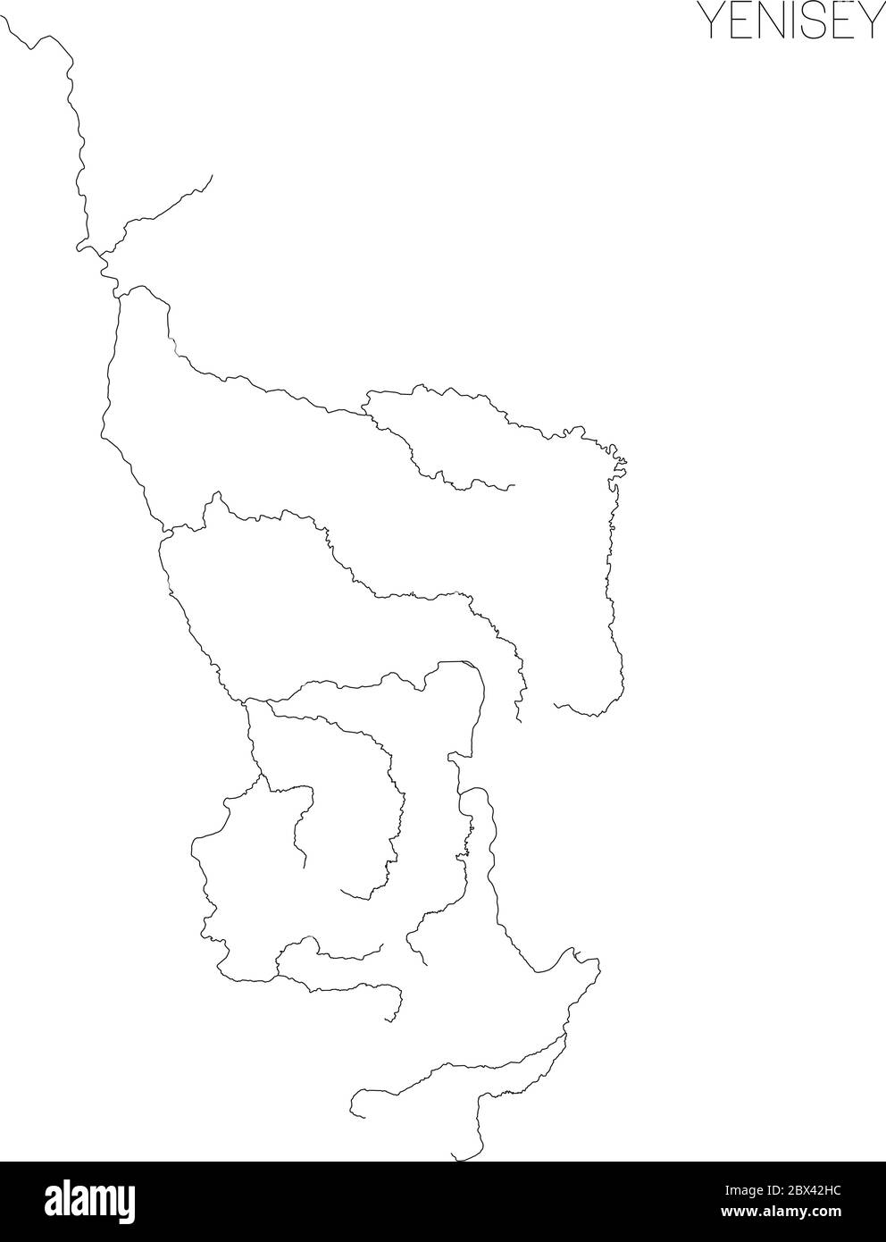 Map of Yenisey river drainage basin. Simple thin outline vector illustration. Stock Vectorhttps://www.alamy.com/image-license-details/?v=1https://www.alamy.com/map-of-yenisey-river-drainage-basin-simple-thin-outline-vector-illustration-image360278280.html
RF2BX42HC–Map of Yenisey river drainage basin. Simple thin outline vector illustration.
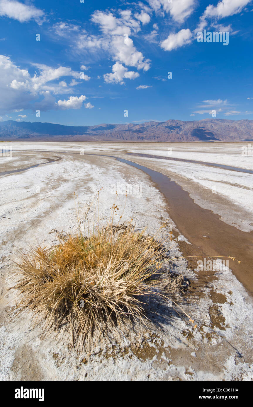 Salt Creek, Cottonball basin, Cottonball marsh, near Furnace creek, Death Valley National Park, California, USA Stock Photohttps://www.alamy.com/image-license-details/?v=1https://www.alamy.com/stock-photo-salt-creek-cottonball-basin-cottonball-marsh-near-furnace-creek-death-34553718.html
RMC061HA–Salt Creek, Cottonball basin, Cottonball marsh, near Furnace creek, Death Valley National Park, California, USA
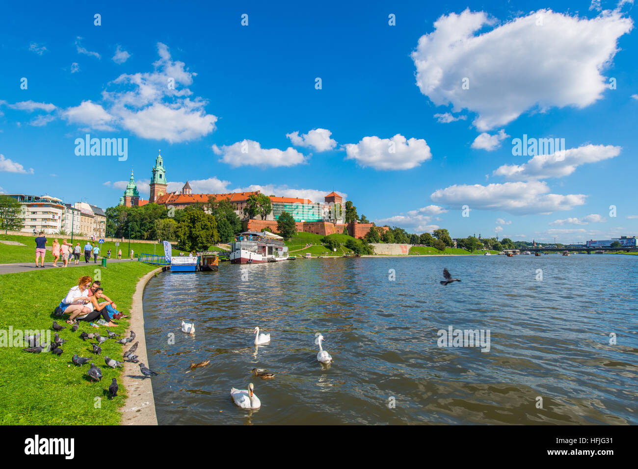 The Vistula (Polish: Wisła) is the longest and largest river in Poland, at 1,047 kilometres in length. The drainage basin area of the Vistula is 194, Stock Photohttps://www.alamy.com/image-license-details/?v=1https://www.alamy.com/stock-photo-the-vistula-polish-wisa-is-the-longest-and-largest-river-in-poland-130100181.html
RFHFJG31–The Vistula (Polish: Wisła) is the longest and largest river in Poland, at 1,047 kilometres in length. The drainage basin area of the Vistula is 194,
 Colorful hotel swimming pool at night, Rome, Italy, Europe Stock Photohttps://www.alamy.com/image-license-details/?v=1https://www.alamy.com/stock-photo-colorful-hotel-swimming-pool-at-night-rome-italy-europe-131044230.html
RMHH5G72–Colorful hotel swimming pool at night, Rome, Italy, Europe
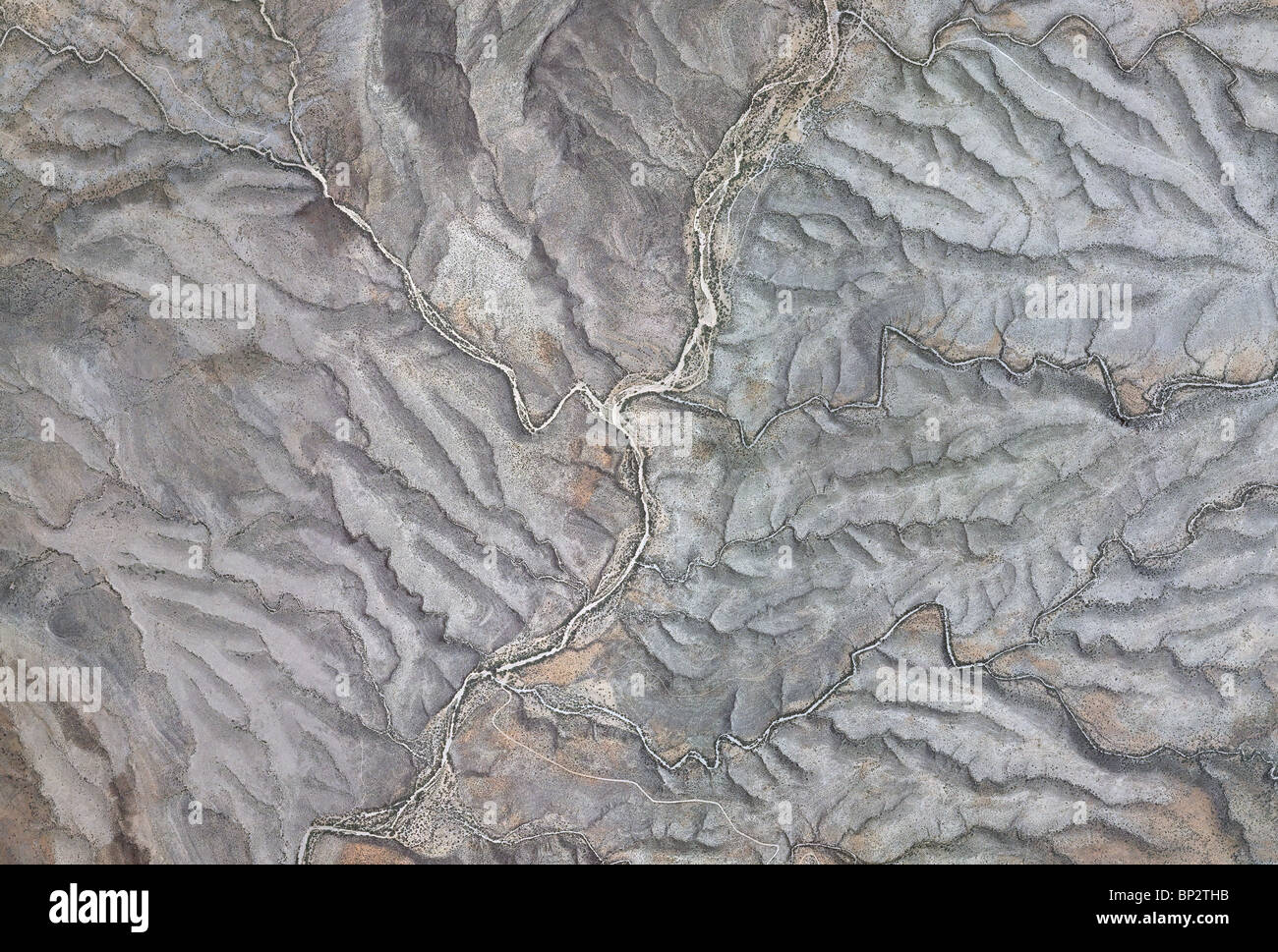 aerial map view above mountain drainage valleys Cochise county Arizona Stock Photohttps://www.alamy.com/image-license-details/?v=1https://www.alamy.com/stock-photo-aerial-map-view-above-mountain-drainage-valleys-cochise-county-arizona-30796007.html
RMBP2THB–aerial map view above mountain drainage valleys Cochise county Arizona
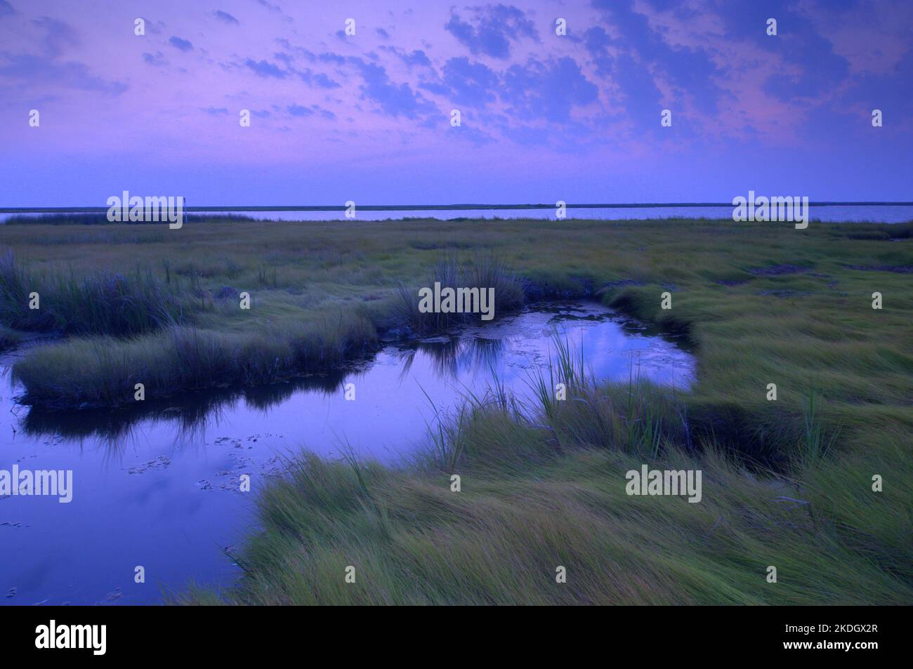 Sunrise in the Chesapeake Bay, the largest estuary in the United States Stock Photohttps://www.alamy.com/image-license-details/?v=1https://www.alamy.com/sunrise-in-the-chesapeake-bay-the-largest-estuary-in-the-united-states-image490252527.html
RF2KDGX2R–Sunrise in the Chesapeake Bay, the largest estuary in the United States
 Polluted stream and mine shaft, Shoe Basin Mine, above Peru Creek, White River National Forest, near Montezuma, Colorado USA Stock Photohttps://www.alamy.com/image-license-details/?v=1https://www.alamy.com/stock-photo-polluted-stream-and-mine-shaft-shoe-basin-mine-above-peru-creek-white-114403891.html
RMGJ3F97–Polluted stream and mine shaft, Shoe Basin Mine, above Peru Creek, White River National Forest, near Montezuma, Colorado USA
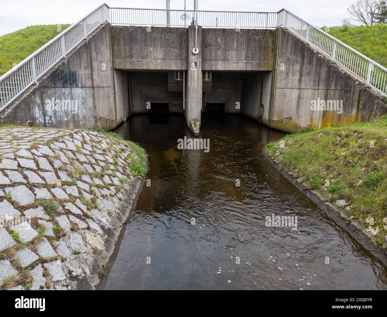 Backwater basin with river and drainage system Stock Photohttps://www.alamy.com/image-license-details/?v=1https://www.alamy.com/backwater-basin-with-river-and-drainage-system-image602758795.html
RF2X0J0YR–Backwater basin with river and drainage system
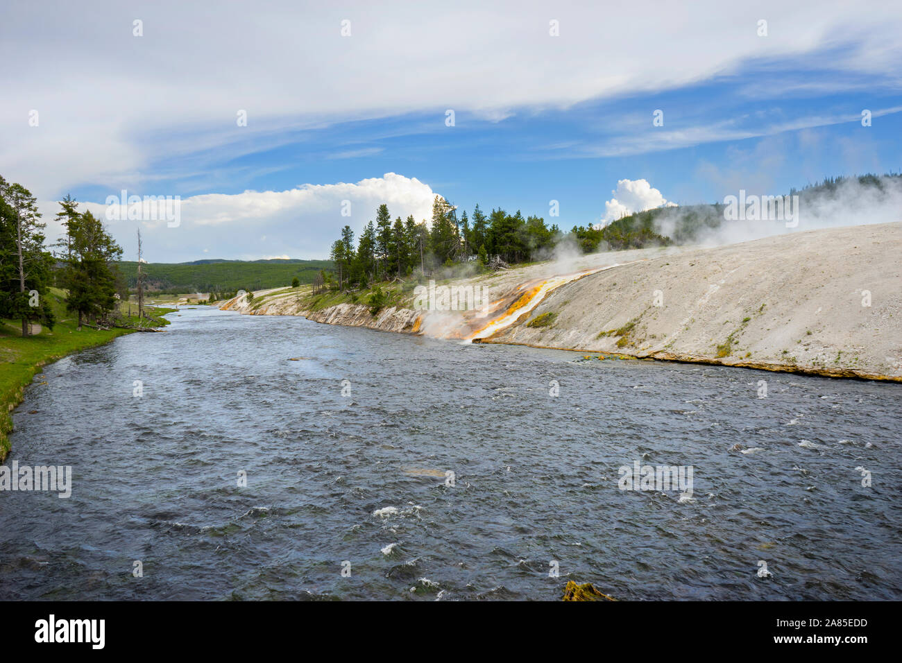 Firehole River with colorful drainage channel from Excelsior Geyser Stock Photohttps://www.alamy.com/image-license-details/?v=1https://www.alamy.com/firehole-river-with-colorful-drainage-channel-from-excelsior-geyser-image332035353.html
RF2A85EDD–Firehole River with colorful drainage channel from Excelsior Geyser
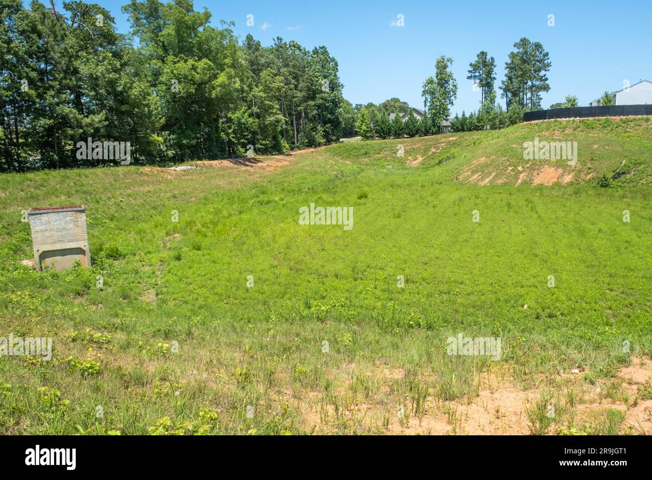 Large drainage ditch lined with grass and weeds behind a subdivision Stock Photohttps://www.alamy.com/image-license-details/?v=1https://www.alamy.com/large-drainage-ditch-lined-with-grass-and-weeds-behind-a-subdivision-image556672033.html
RF2R9JGT1–Large drainage ditch lined with grass and weeds behind a subdivision
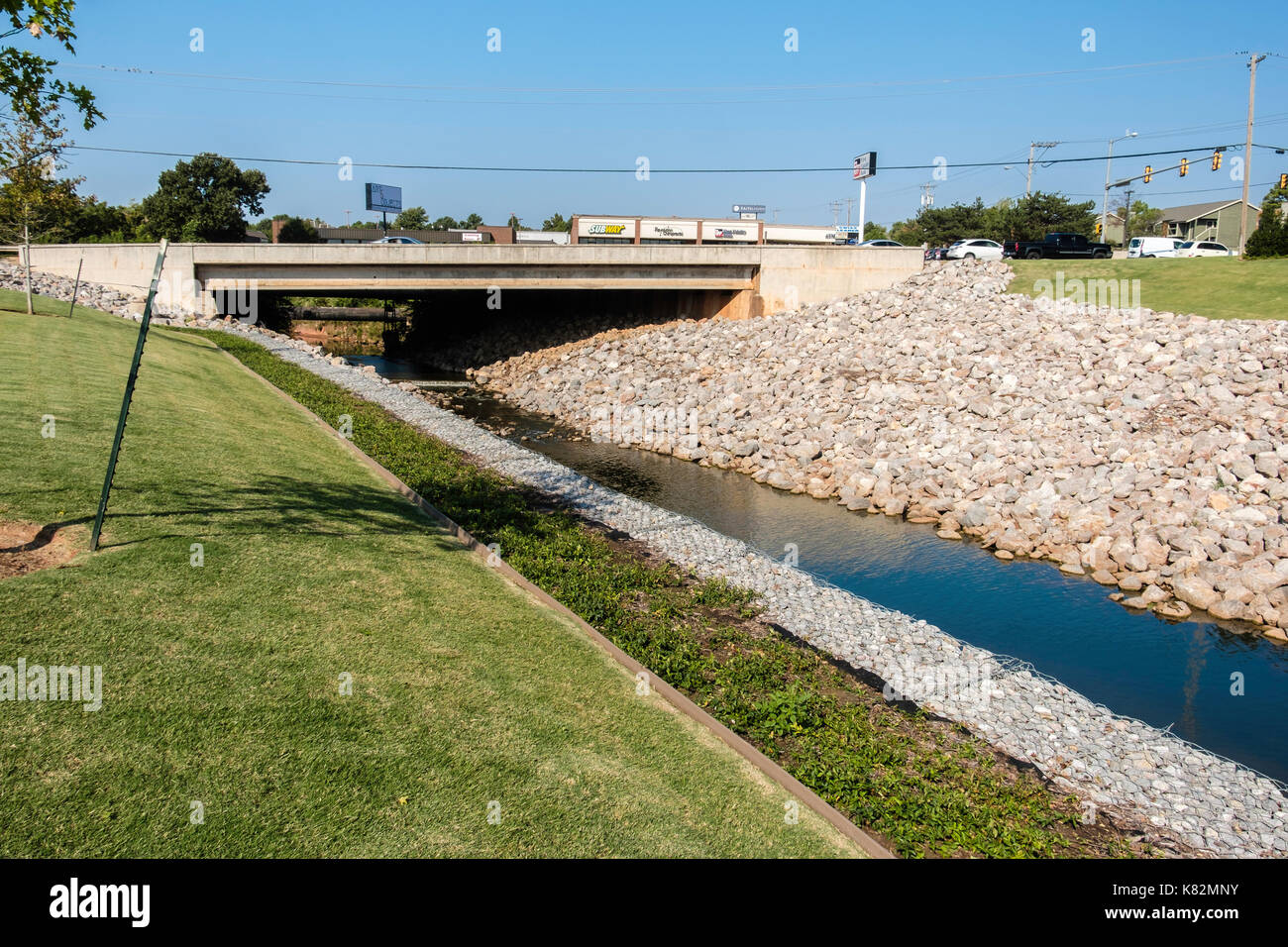 Rip-rap stones shoring up a drainage canal under a bridge in Oklahoma City, Oklahoma, USA. Stock Photohttps://www.alamy.com/image-license-details/?v=1https://www.alamy.com/rip-rap-stones-shoring-up-a-drainage-canal-under-a-bridge-in-oklahoma-image159870759.html
RMK82MNY–Rip-rap stones shoring up a drainage canal under a bridge in Oklahoma City, Oklahoma, USA.
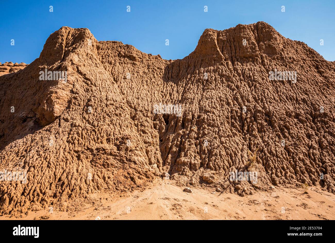 Eroded landforms in a gully Kodachrome Basin State Park, Utah, USA. Stock Photohttps://www.alamy.com/image-license-details/?v=1https://www.alamy.com/eroded-landforms-in-a-gully-kodachrome-basin-state-park-utah-usa-image398983092.html
RM2E53704–Eroded landforms in a gully Kodachrome Basin State Park, Utah, USA.
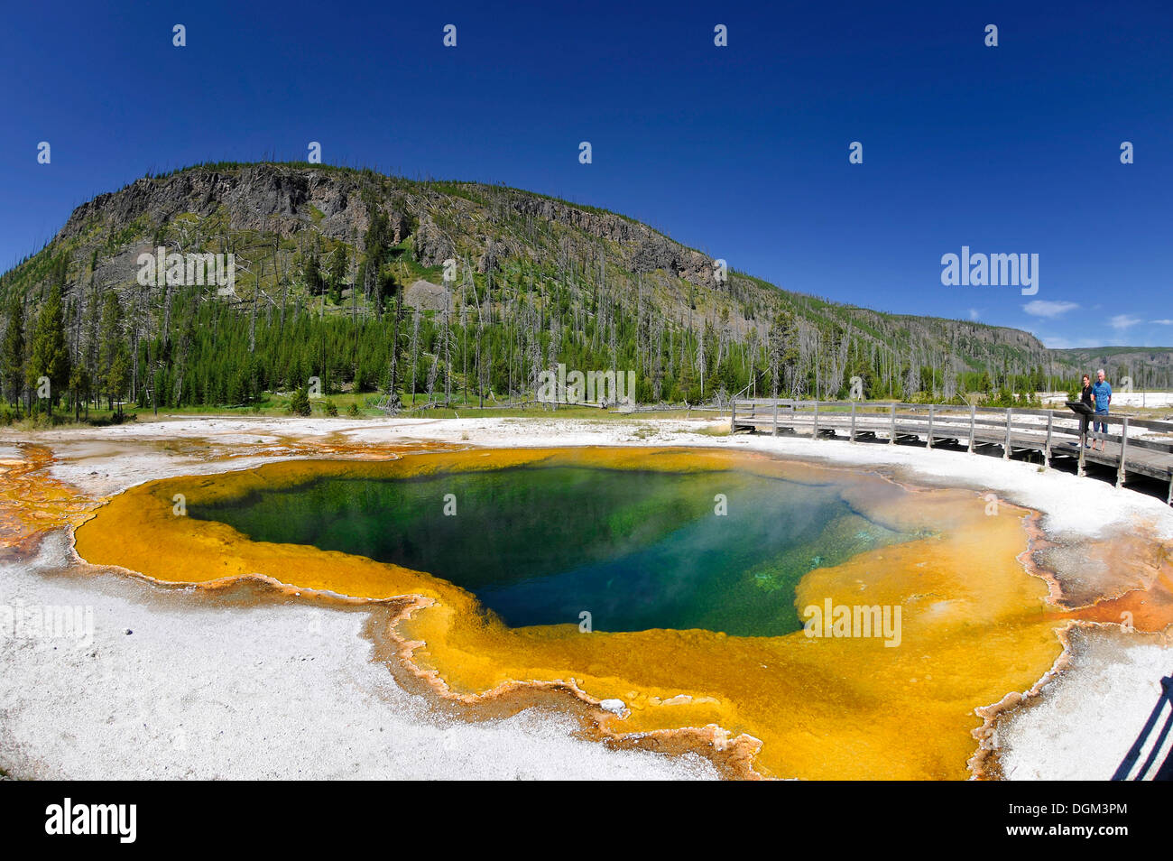 Emerald Pool, geyser, drainage area with a boardwalk, coloured thermophilic bacteria, microorganisms, Black Sand Basin Stock Photohttps://www.alamy.com/image-license-details/?v=1https://www.alamy.com/emerald-pool-geyser-drainage-area-with-a-boardwalk-coloured-thermophilic-image61907628.html
RMDGM3PM–Emerald Pool, geyser, drainage area with a boardwalk, coloured thermophilic bacteria, microorganisms, Black Sand Basin
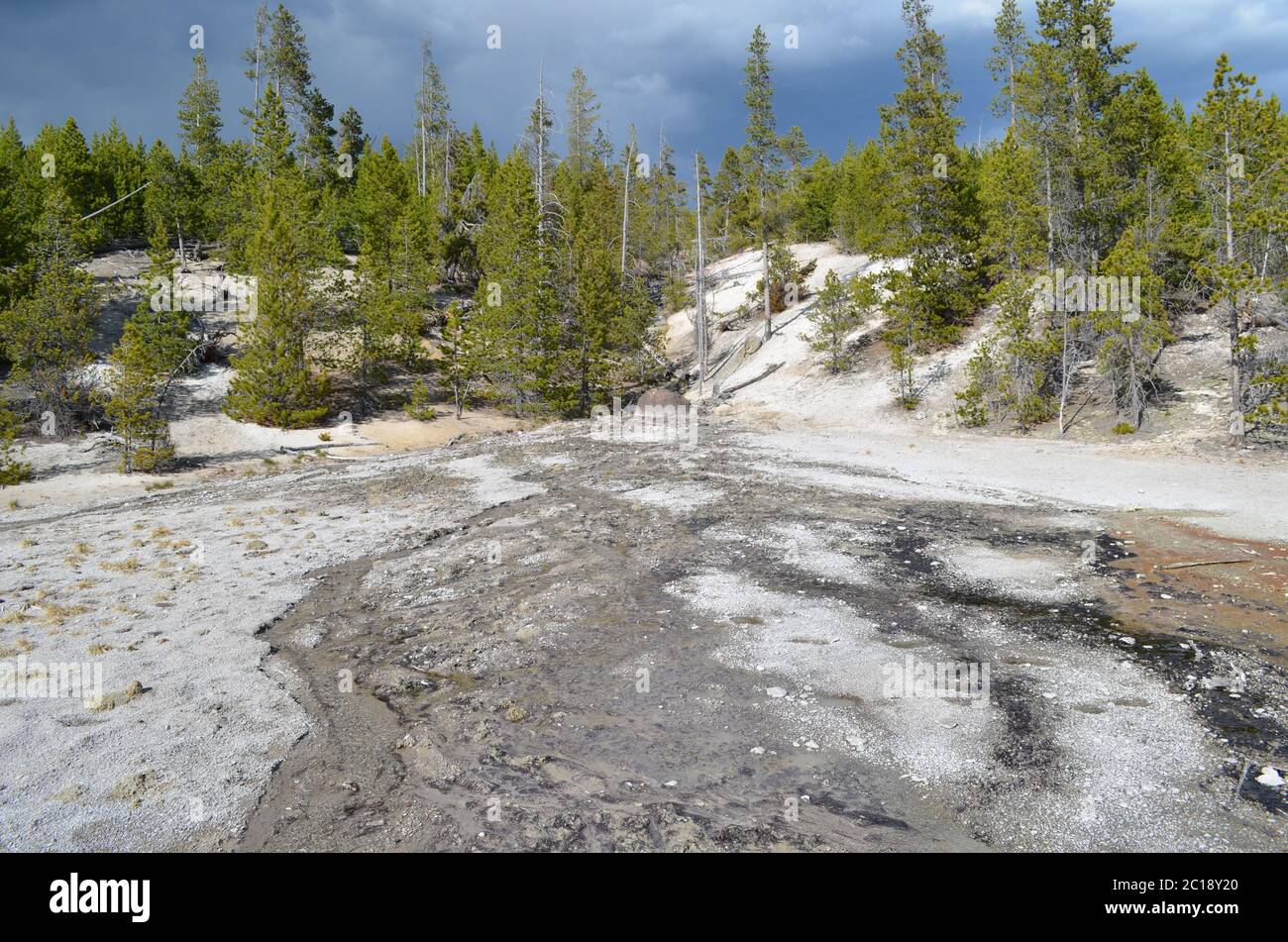 Spring in Yellowstone National Park: Dormant Mushroom Geyser and Drainage from Unseen Emerald Geyser in the Back Basin Area of Norris Geyser Basin Stock Photohttps://www.alamy.com/image-license-details/?v=1https://www.alamy.com/spring-in-yellowstone-national-park-dormant-mushroom-geyser-and-drainage-from-unseen-emerald-geyser-in-the-back-basin-area-of-norris-geyser-basin-image362229224.html
RF2C18Y20–Spring in Yellowstone National Park: Dormant Mushroom Geyser and Drainage from Unseen Emerald Geyser in the Back Basin Area of Norris Geyser Basin
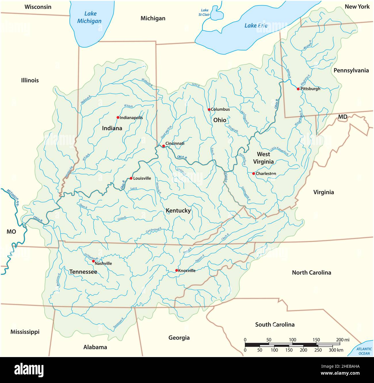 vector map Drainage Basin of the Ohio River, USA Stock Vectorhttps://www.alamy.com/image-license-details/?v=1https://www.alamy.com/vector-map-drainage-basin-of-the-ohio-river-usa-image456324550.html
RF2HEBAHA–vector map Drainage Basin of the Ohio River, USA
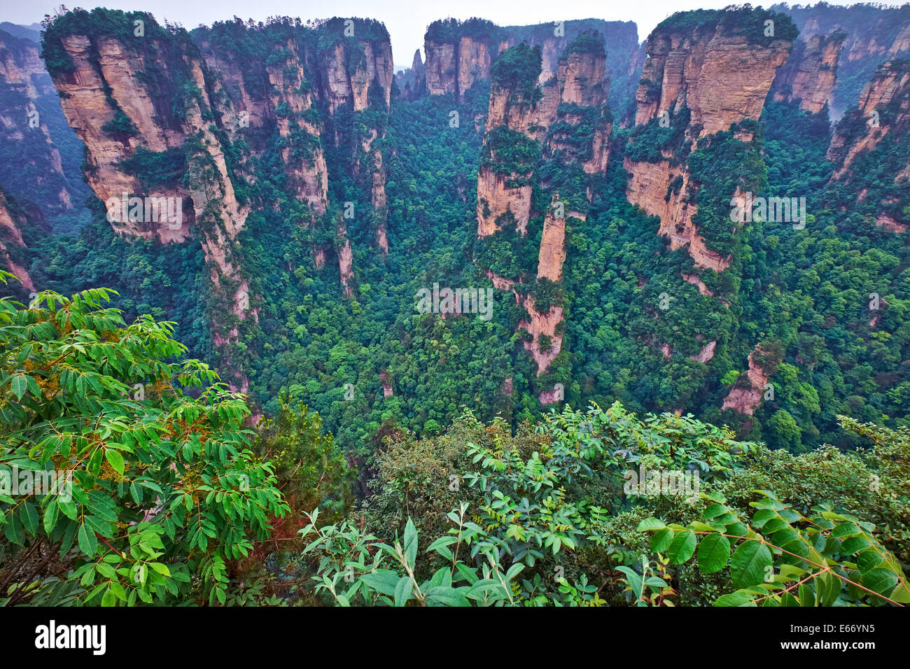 The site lies in the Wulingyuan District of the city of Dayong and covers the entire drainage basin of the Suoxi Brook, which wi Stock Photohttps://www.alamy.com/image-license-details/?v=1https://www.alamy.com/stock-photo-the-site-lies-in-the-wulingyuan-district-of-the-city-of-dayong-and-72682881.html
RME66YN5–The site lies in the Wulingyuan District of the city of Dayong and covers the entire drainage basin of the Suoxi Brook, which wi
 Cooper Lake, located in Lake Hill, Ulster County, New York, is the largest natural lake in the Catskill Mountains. It ha a 9 sq. miles drainage basin Stock Photohttps://www.alamy.com/image-license-details/?v=1https://www.alamy.com/cooper-lake-located-in-lake-hill-ulster-county-new-york-is-the-largest-natural-lake-in-the-catskill-mountains-it-ha-a-9-sq-miles-drainage-basin-image370364032.html
RF2CEFF2T–Cooper Lake, located in Lake Hill, Ulster County, New York, is the largest natural lake in the Catskill Mountains. It ha a 9 sq. miles drainage basin
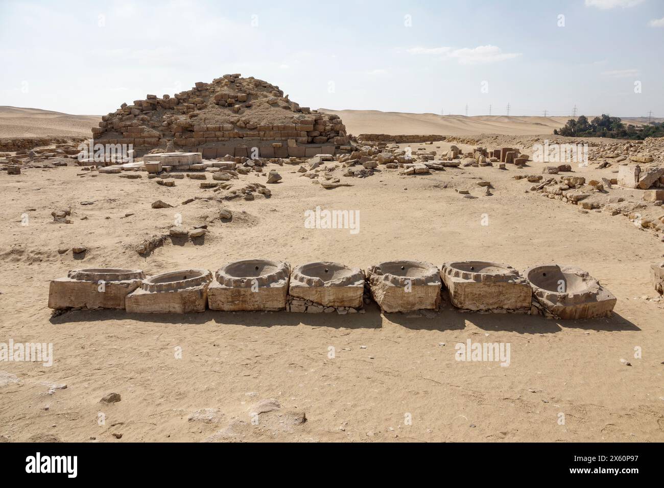 Basins on the ground at the Sun Temple of Niuserre at Abu Ghurob, near Abu Sir, Cairo, Egypt Stock Photohttps://www.alamy.com/image-license-details/?v=1https://www.alamy.com/basins-on-the-ground-at-the-sun-temple-of-niuserre-at-abu-ghurob-near-abu-sir-cairo-egypt-image606068323.html
RF2X60P97–Basins on the ground at the Sun Temple of Niuserre at Abu Ghurob, near Abu Sir, Cairo, Egypt
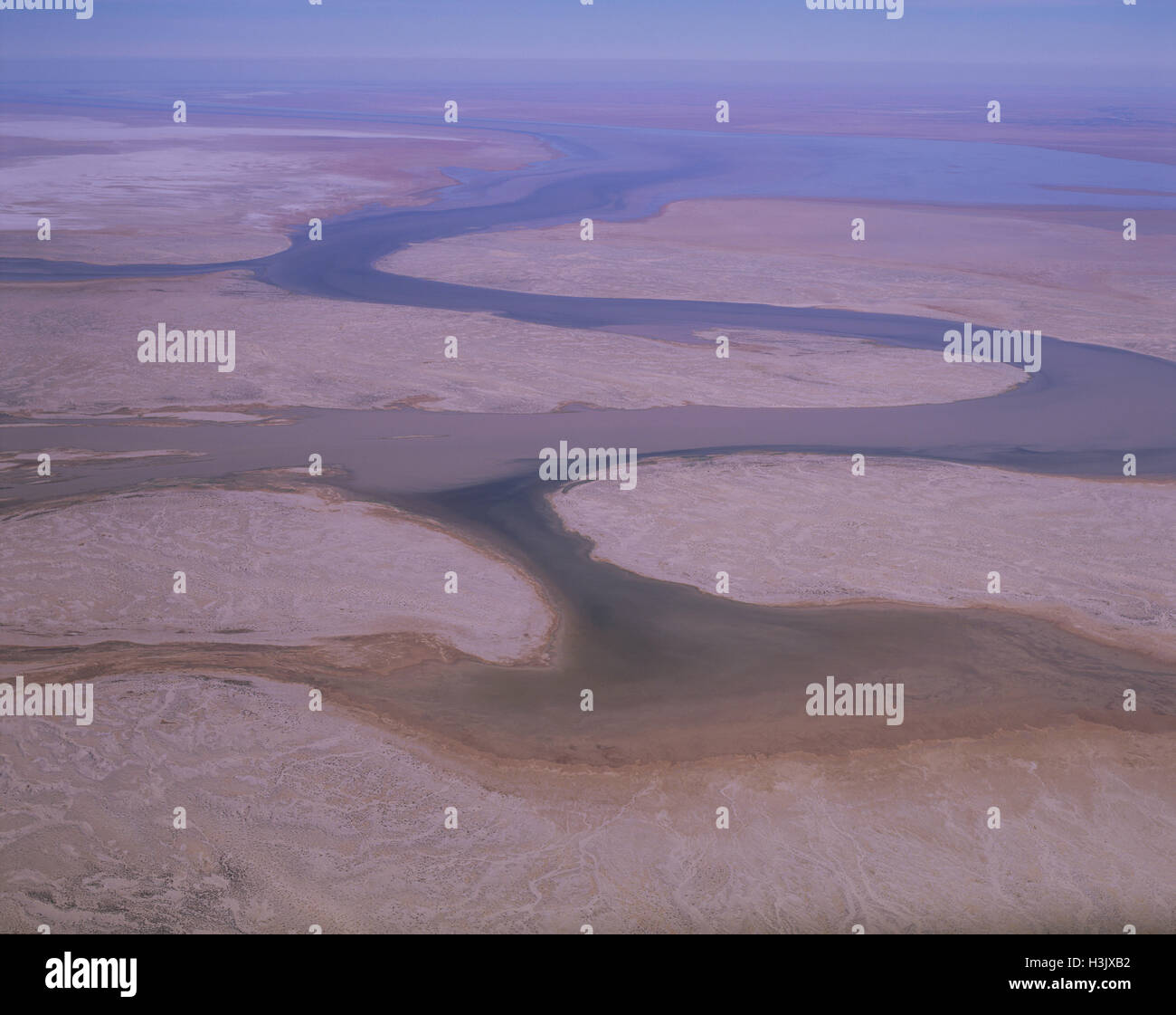 Lake Eyre river system. Stock Photohttps://www.alamy.com/image-license-details/?v=1https://www.alamy.com/stock-photo-lake-eyre-river-system-122732374.html
RMH3JXB2–Lake Eyre river system.
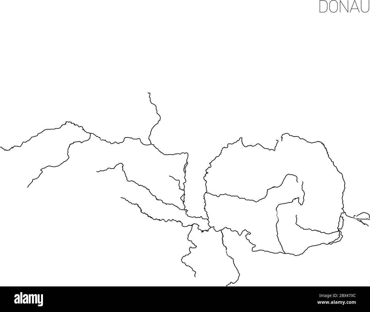 Map of Donau river drainage basin. Simple thin outline vector illustration. Stock Vectorhttps://www.alamy.com/image-license-details/?v=1https://www.alamy.com/map-of-donau-river-drainage-basin-simple-thin-outline-vector-illustration-image360282452.html
RF2BX47XC–Map of Donau river drainage basin. Simple thin outline vector illustration.
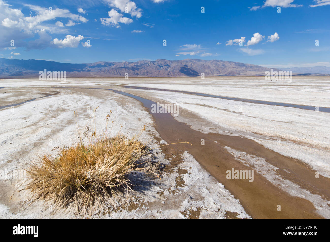 Salt Creek, Cottonball basin, Cottonball marsh, near Furnace creek, Death Valley National Park, California, USA Stock Photohttps://www.alamy.com/image-license-details/?v=1https://www.alamy.com/stock-photo-salt-creek-cottonball-basin-cottonball-marsh-near-furnace-creek-death-34109976.html
RMBYDRHC–Salt Creek, Cottonball basin, Cottonball marsh, near Furnace creek, Death Valley National Park, California, USA
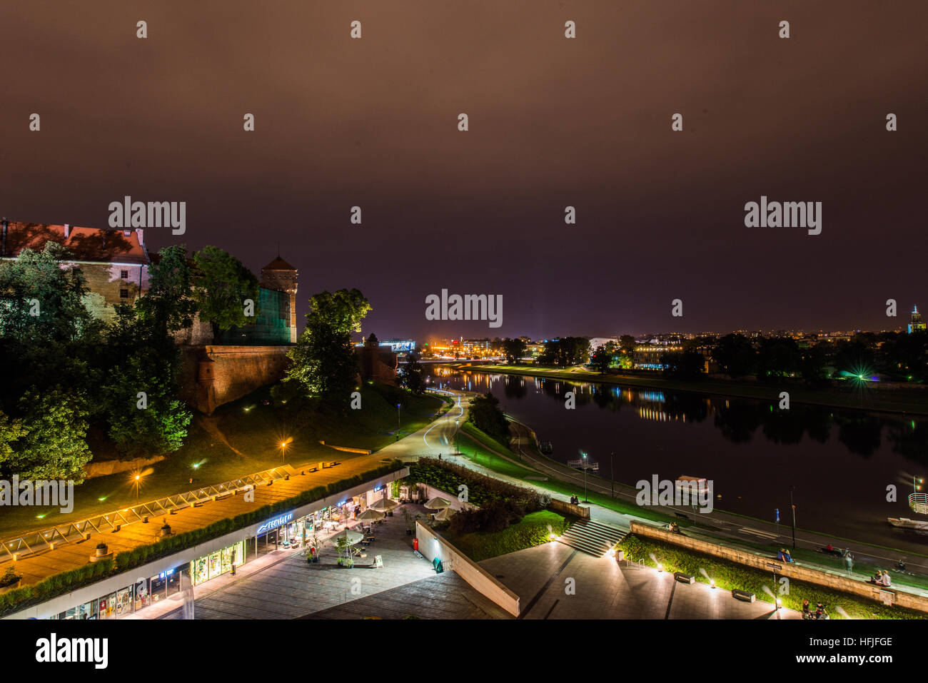 The Vistula (Polish: Wisła) is the longest and largest river in Poland, at 1,047 kilometres in length. The drainage basin area of the Vistula is 194, Stock Photohttps://www.alamy.com/image-license-details/?v=1https://www.alamy.com/stock-photo-the-vistula-polish-wisa-is-the-longest-and-largest-river-in-poland-130099774.html
RFHFJFGE–The Vistula (Polish: Wisła) is the longest and largest river in Poland, at 1,047 kilometres in length. The drainage basin area of the Vistula is 194,
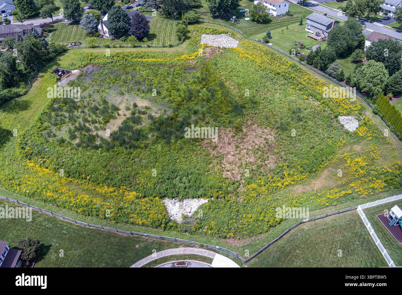 Aerial view of water retention basin swale in suburban neighborhood, Reading Pennsylvania USA Stock Photohttps://www.alamy.com/image-license-details/?v=1https://www.alamy.com/aerial-view-of-water-retention-basin-swale-in-suburban-neighborhood-reading-pennsylvania-usa-image685262961.html
RF3BPTBW5–Aerial view of water retention basin swale in suburban neighborhood, Reading Pennsylvania USA
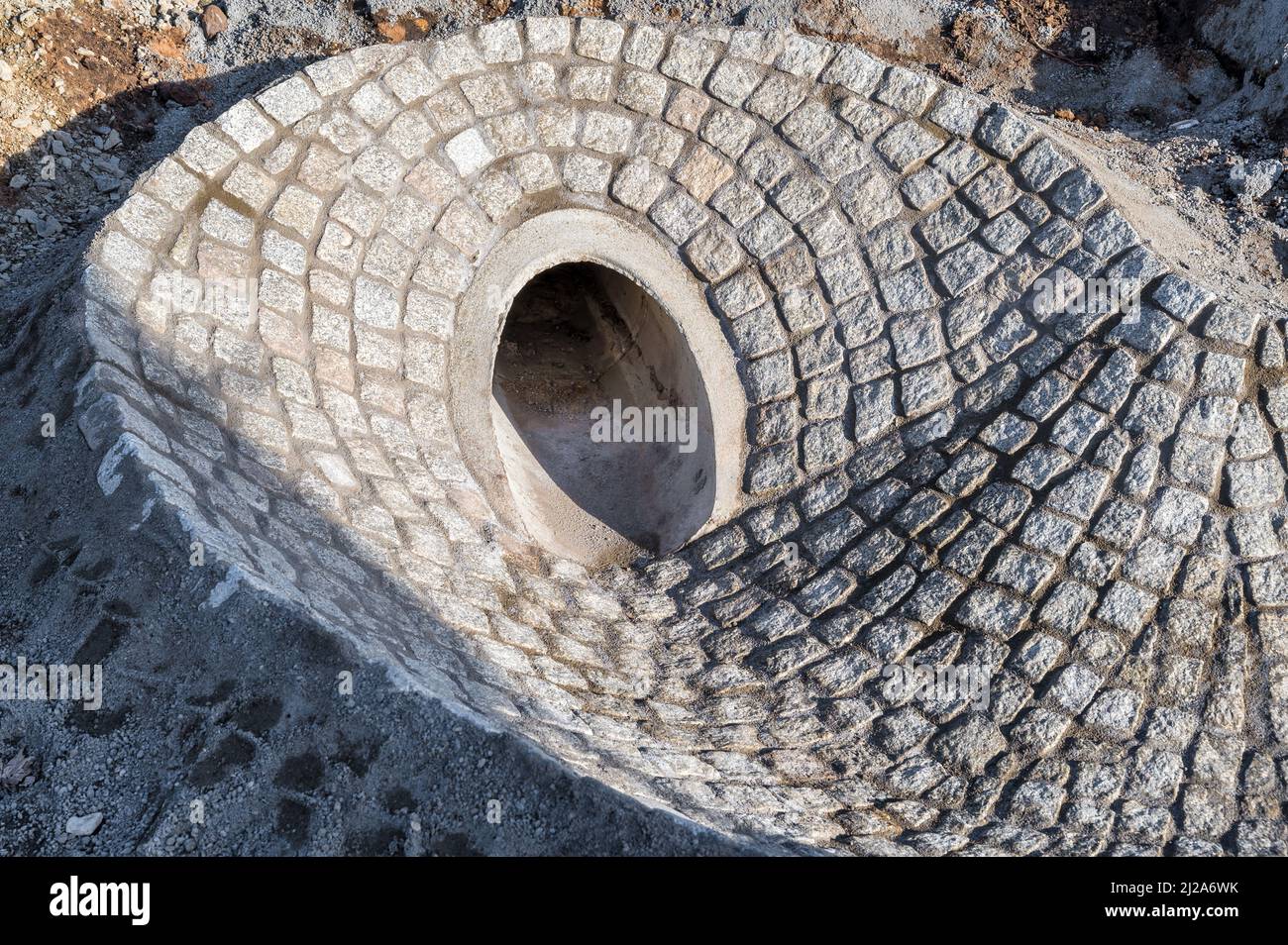 Paved access to a sewer pipe as part of a new bridge's drainage system Stock Photohttps://www.alamy.com/image-license-details/?v=1https://www.alamy.com/paved-access-to-a-sewer-pipe-as-part-of-a-new-bridges-drainage-system-image466134191.html
RF2J2A6WK–Paved access to a sewer pipe as part of a new bridge's drainage system
 Sunrise in the Chesapeake Bay, the largest estuary in the United States Stock Photohttps://www.alamy.com/image-license-details/?v=1https://www.alamy.com/sunrise-in-the-chesapeake-bay-the-largest-estuary-in-the-united-states-image490230528.html
RF2KDFX14–Sunrise in the Chesapeake Bay, the largest estuary in the United States
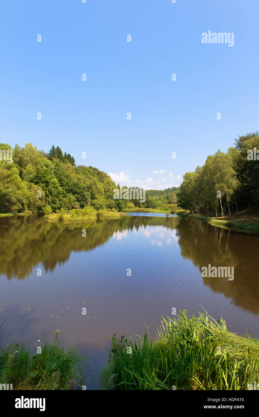 drainage-basin lake in Treignac in France Stock Photohttps://www.alamy.com/image-license-details/?v=1https://www.alamy.com/stock-photo-drainage-basin-lake-in-treignac-in-france-128800902.html
RMHDFAT6–drainage-basin lake in Treignac in France
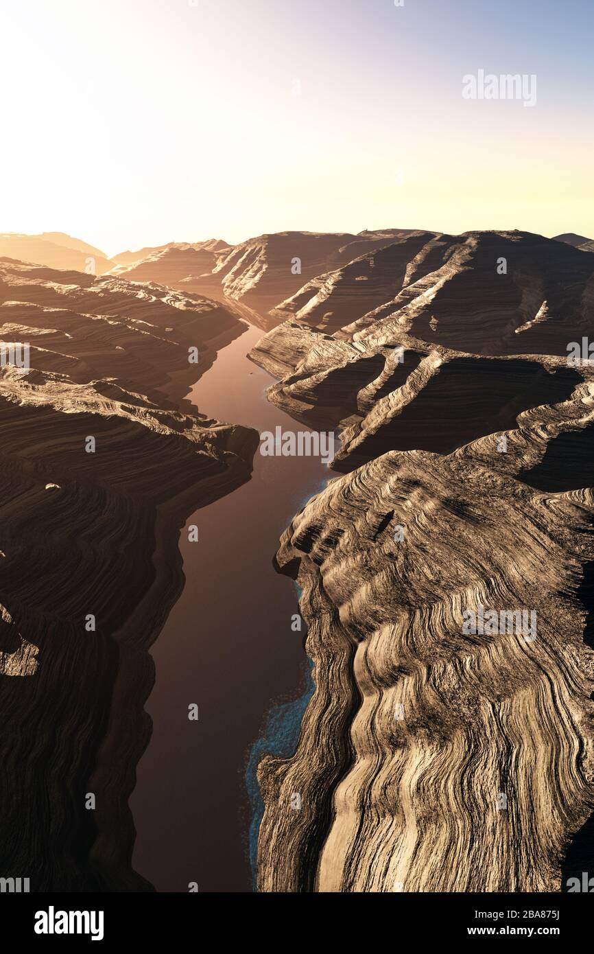 Aerial shot of a Canyon with a Natural Fault Drainage Basin Lake 3D Artwork Illustration Stock Photohttps://www.alamy.com/image-license-details/?v=1https://www.alamy.com/aerial-shot-of-a-canyon-with-a-natural-fault-drainage-basin-lake-3d-artwork-illustration-image350535182.html
RF2BA875J–Aerial shot of a Canyon with a Natural Fault Drainage Basin Lake 3D Artwork Illustration
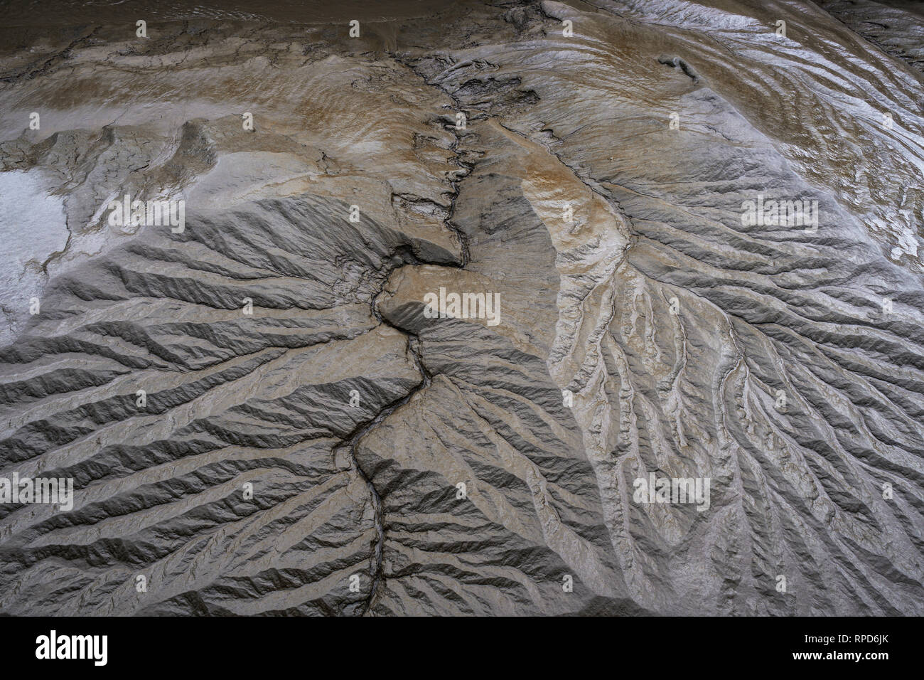 River Severn mud at low tide. Stock Photohttps://www.alamy.com/image-license-details/?v=1https://www.alamy.com/river-severn-mud-at-low-tide-image237547819.html
RMRPD6JK–River Severn mud at low tide.
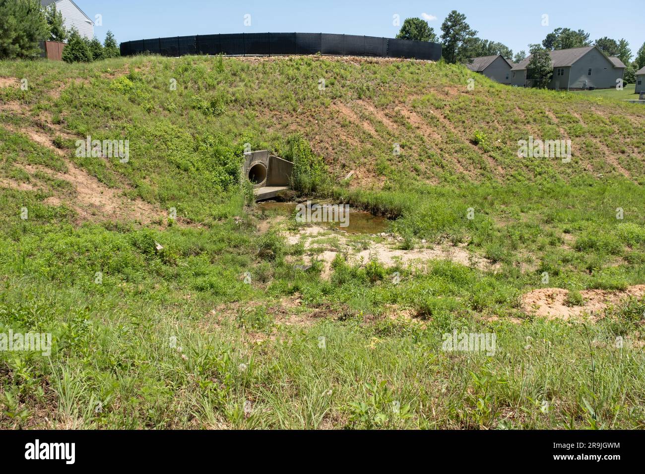 Large drainage ditch lined with grass and weeds behind a subdivision Stock Photohttps://www.alamy.com/image-license-details/?v=1https://www.alamy.com/large-drainage-ditch-lined-with-grass-and-weeds-behind-a-subdivision-image556672080.html
RF2R9JGWM–Large drainage ditch lined with grass and weeds behind a subdivision
 The Impluvium, or rainwater collector, in the centre of the courtyard of the Great Mosque of Kairouan, Tunisia Stock Photohttps://www.alamy.com/image-license-details/?v=1https://www.alamy.com/the-impluvium-or-rainwater-collector-in-the-centre-of-the-courtyard-of-the-great-mosque-of-kairouan-tunisia-image182970936.html
RMMHK188–The Impluvium, or rainwater collector, in the centre of the courtyard of the Great Mosque of Kairouan, Tunisia
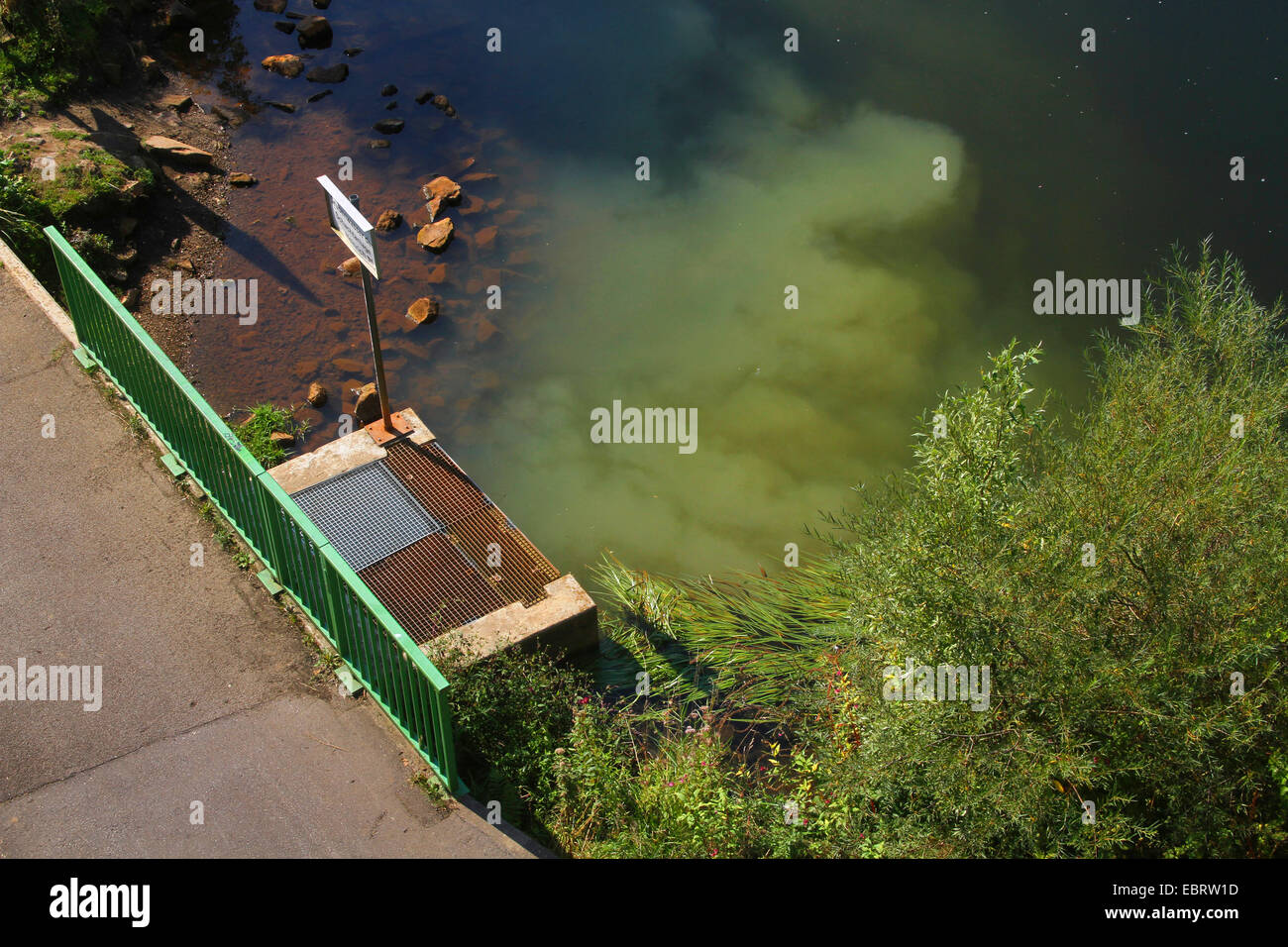 ferreous mine drainage water from the Zeche Heinrich running into the Ruhr, Germany, Nordrhein Westfalen, Ruhr Area, Essen Stock Photohttps://www.alamy.com/image-license-details/?v=1https://www.alamy.com/stock-photo-ferreous-mine-drainage-water-from-the-zeche-heinrich-running-into-76127225.html
RMEBRW1D–ferreous mine drainage water from the Zeche Heinrich running into the Ruhr, Germany, Nordrhein Westfalen, Ruhr Area, Essen
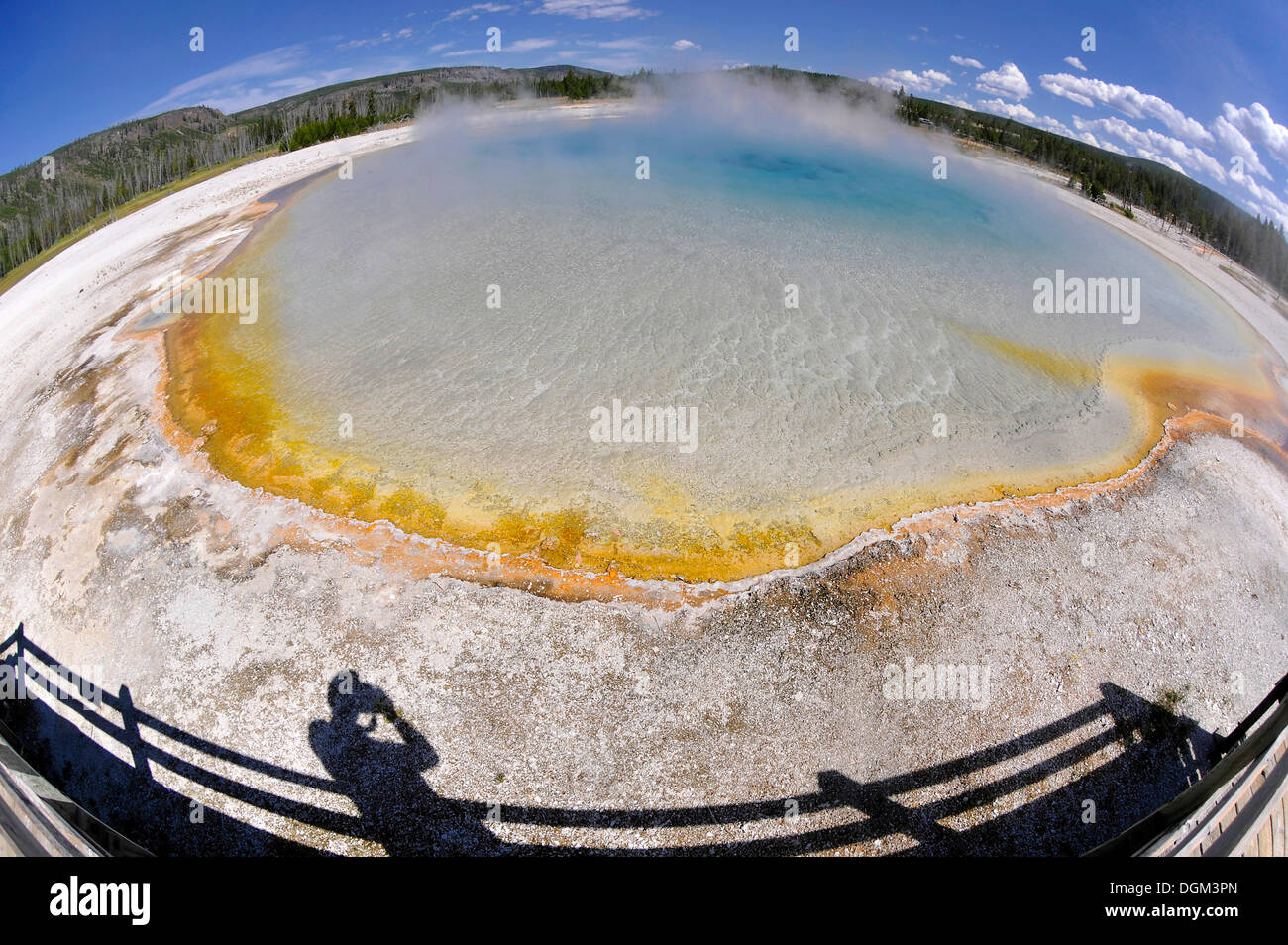 Sunset Lake, geyser, drainage area with a boardwalk, coloured thermophilic bacteria, microorganisms, Black Sand Basin Stock Photohttps://www.alamy.com/image-license-details/?v=1https://www.alamy.com/sunset-lake-geyser-drainage-area-with-a-boardwalk-coloured-thermophilic-image61907629.html
RMDGM3PN–Sunset Lake, geyser, drainage area with a boardwalk, coloured thermophilic bacteria, microorganisms, Black Sand Basin
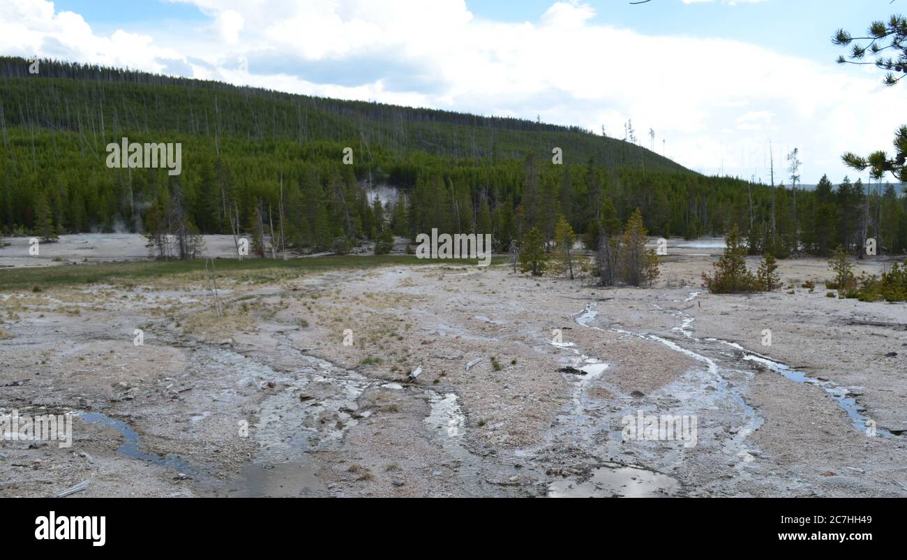 Spring in Yellowstone: Steamboat Geyser Drainage, Crater Spring, Arch Steam Vent Plume & Tantalus Spring in the Back Basin of Norris Geyser Basin Stock Photohttps://www.alamy.com/image-license-details/?v=1https://www.alamy.com/spring-in-yellowstone-steamboat-geyser-drainage-crater-spring-arch-steam-vent-plume-tantalus-spring-in-the-back-basin-of-norris-geyser-basin-image366106953.html
RF2C7HH49–Spring in Yellowstone: Steamboat Geyser Drainage, Crater Spring, Arch Steam Vent Plume & Tantalus Spring in the Back Basin of Norris Geyser Basin
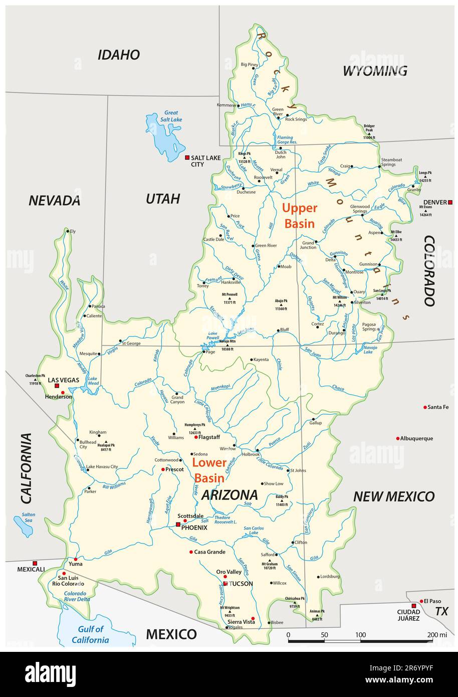 Vector map of the Colorado River drainage basin, United States Stock Photohttps://www.alamy.com/image-license-details/?v=1https://www.alamy.com/vector-map-of-the-colorado-river-drainage-basin-united-states-image555030435.html
RF2R6YPYF–Vector map of the Colorado River drainage basin, United States
 Tree stump Stock Photohttps://www.alamy.com/image-license-details/?v=1https://www.alamy.com/tree-stump-image389227521.html
RF2DH6RJW–Tree stump
 Cooper Lake, located in Lake Hill, Ulster County, New York, is the largest natural lake in the Catskill Mountains. It ha a 9 sq. miles drainage basin Stock Photohttps://www.alamy.com/image-license-details/?v=1https://www.alamy.com/cooper-lake-located-in-lake-hill-ulster-county-new-york-is-the-largest-natural-lake-in-the-catskill-mountains-it-ha-a-9-sq-miles-drainage-basin-image370363852.html
RF2CEFETC–Cooper Lake, located in Lake Hill, Ulster County, New York, is the largest natural lake in the Catskill Mountains. It ha a 9 sq. miles drainage basin