Colorado springs colorado map Cut Out Stock Images
(10)See colorado springs colorado map stock video clipsColorado springs colorado map Cut Out Stock Images
 Highly Detailed Colorado Silhouette map. Stock Vectorhttps://www.alamy.com/image-license-details/?v=1https://www.alamy.com/highly-detailed-colorado-silhouette-map-image546275764.html
RF2PMN08M–Highly Detailed Colorado Silhouette map.
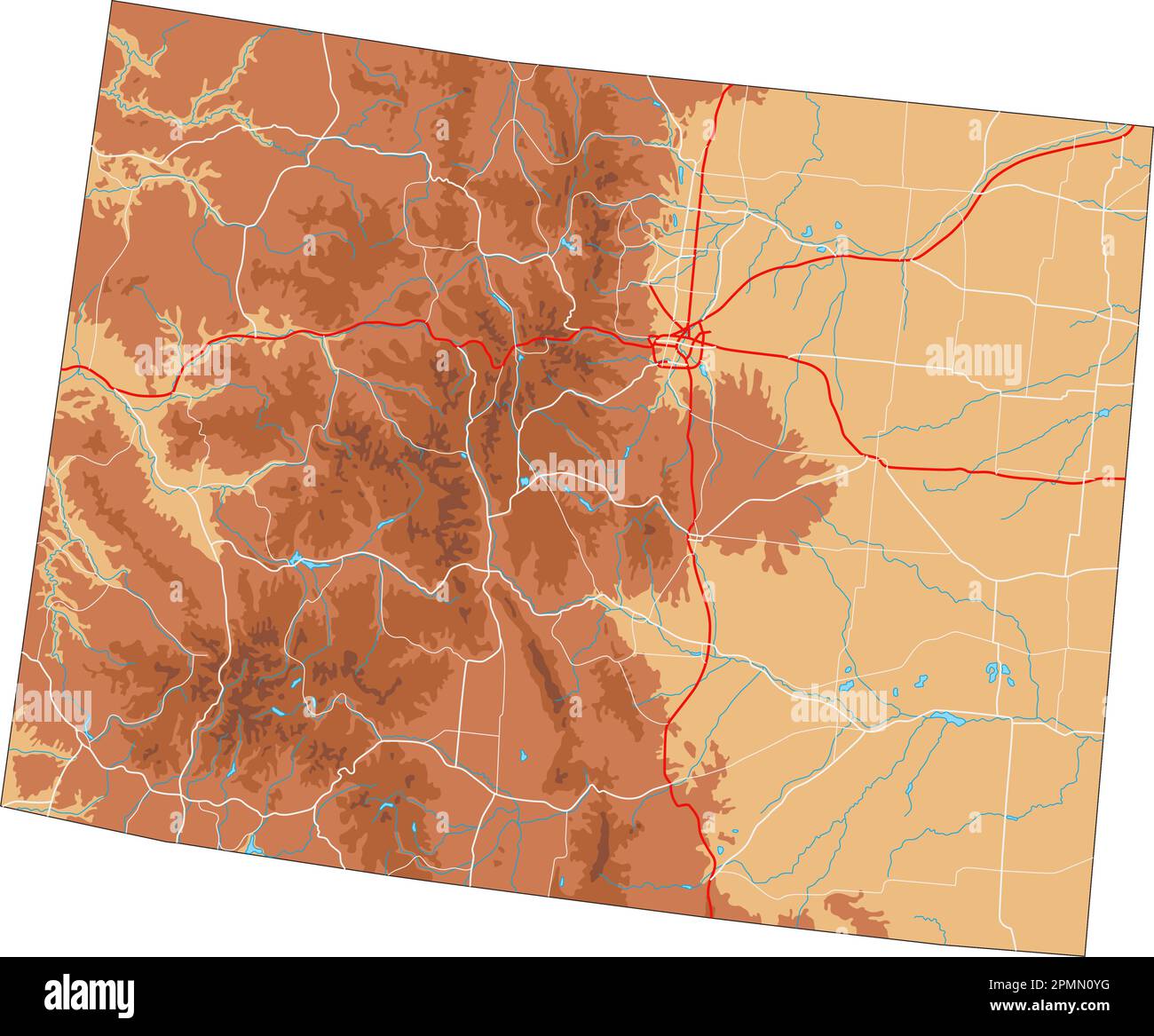 High detailed Colorado physical map. Stock Vectorhttps://www.alamy.com/image-license-details/?v=1https://www.alamy.com/high-detailed-colorado-physical-map-image546276292.html
RF2PMN0YG–High detailed Colorado physical map.
 Highly Detailed Colorado Blind Map. Stock Vectorhttps://www.alamy.com/image-license-details/?v=1https://www.alamy.com/highly-detailed-colorado-blind-map-image546275641.html
RF2PMN049–Highly Detailed Colorado Blind Map.
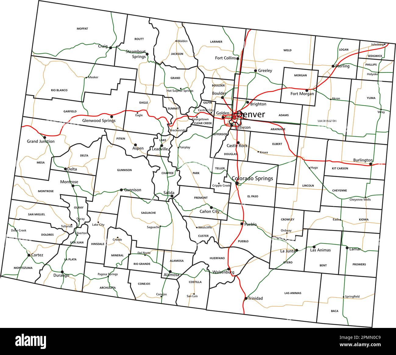 Colorado road and highway map. Vector illustration. Stock Vectorhttps://www.alamy.com/image-license-details/?v=1https://www.alamy.com/colorado-road-and-highway-map-vector-illustration-image546275865.html
RF2PMN0C9–Colorado road and highway map. Vector illustration.
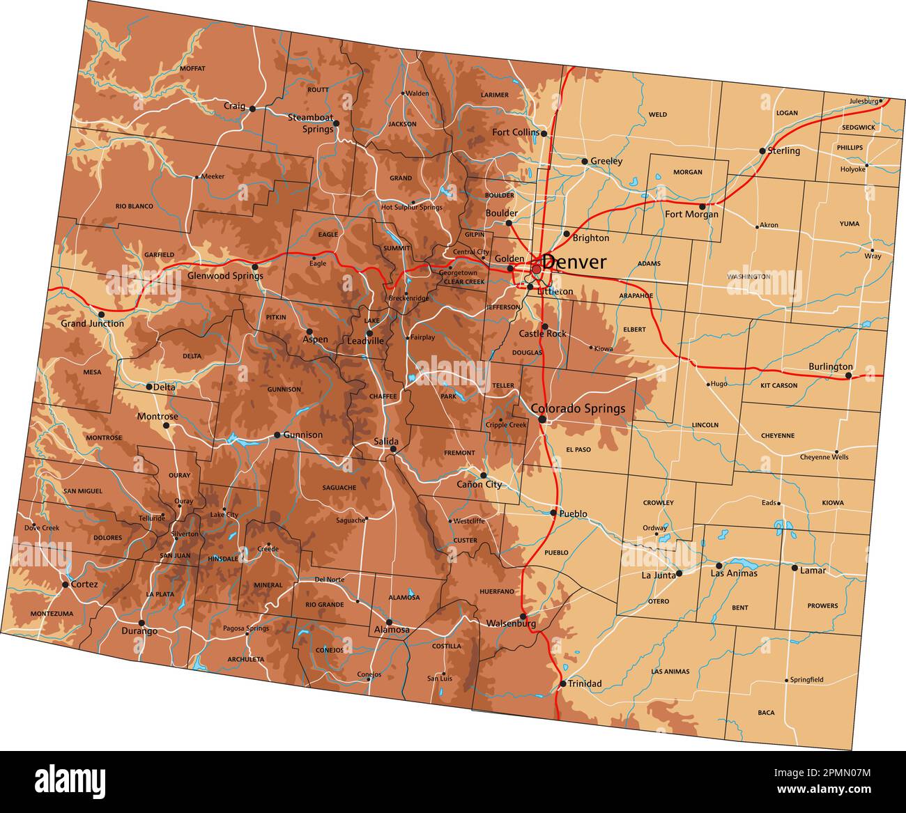 High detailed Colorado physical map with labeling. Stock Vectorhttps://www.alamy.com/image-license-details/?v=1https://www.alamy.com/high-detailed-colorado-physical-map-with-labeling-image546275736.html
RF2PMN07M–High detailed Colorado physical map with labeling.
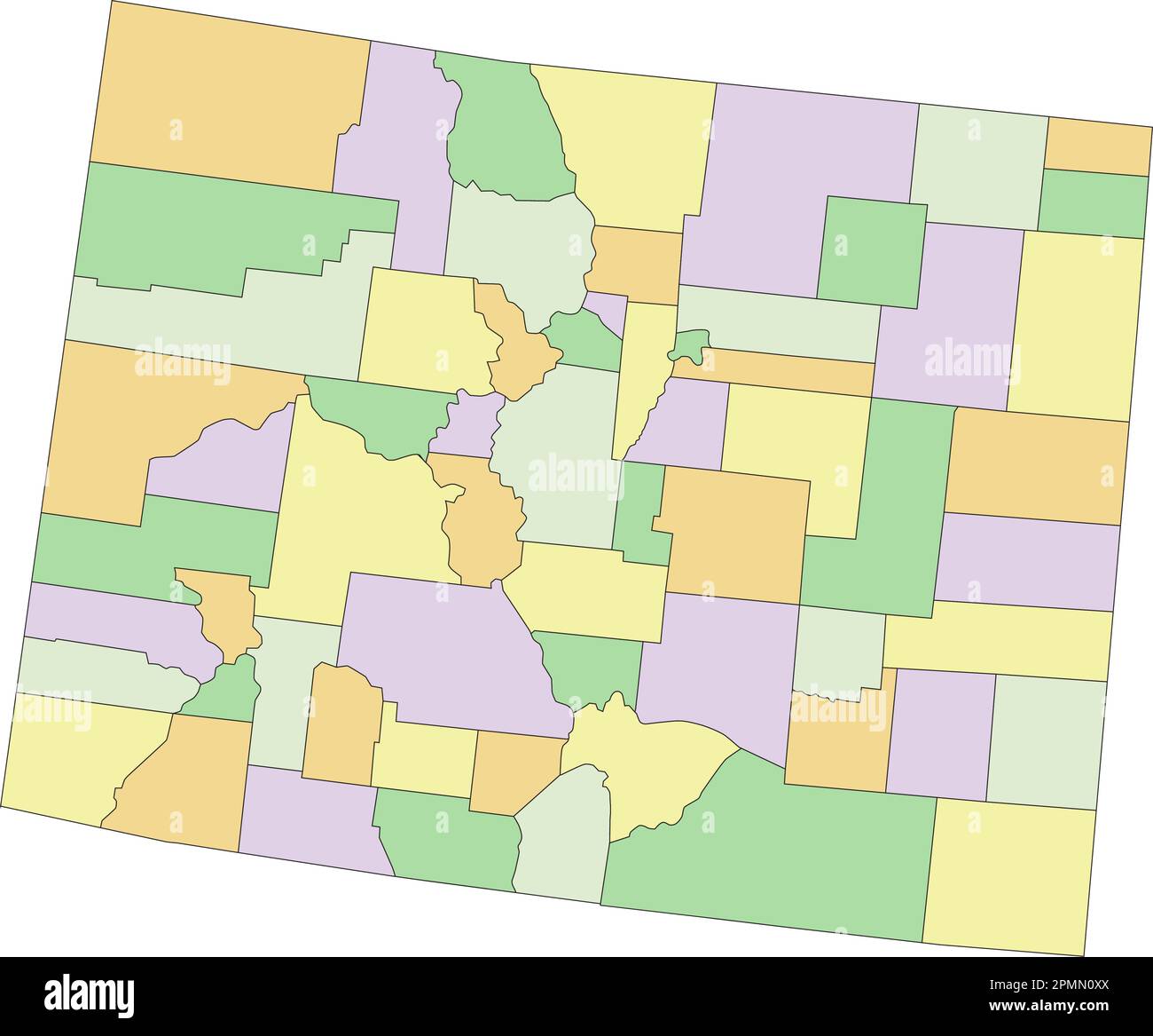 Colorado - Highly detailed editable political map. Stock Vectorhttps://www.alamy.com/image-license-details/?v=1https://www.alamy.com/colorado-highly-detailed-editable-political-map-image546276274.html
RF2PMN0XX–Colorado - Highly detailed editable political map.
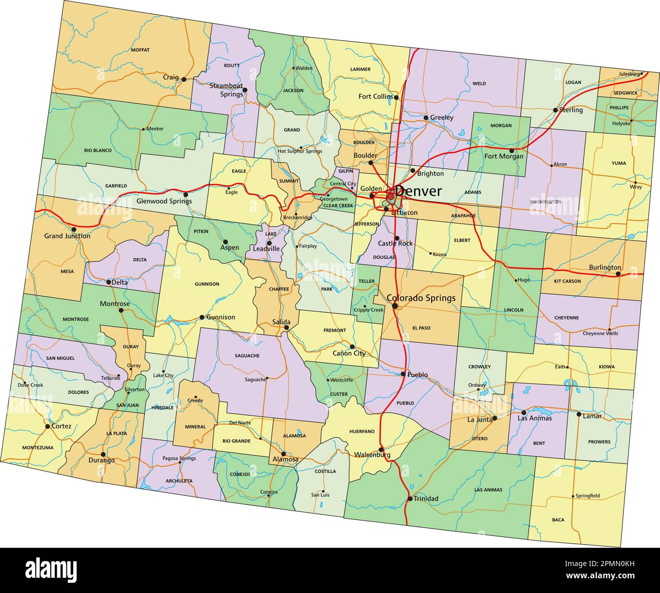 Colorado - Highly detailed editable political map with labeling. Stock Vectorhttps://www.alamy.com/image-license-details/?v=1https://www.alamy.com/colorado-highly-detailed-editable-political-map-with-labeling-image546276069.html
RF2PMN0KH–Colorado - Highly detailed editable political map with labeling.
 Highly detailed editable political map with separated layers. Colorado. Stock Vectorhttps://www.alamy.com/image-license-details/?v=1https://www.alamy.com/highly-detailed-editable-political-map-with-separated-layers-colorado-image546276110.html
RF2PMN0N2–Highly detailed editable political map with separated layers. Colorado.
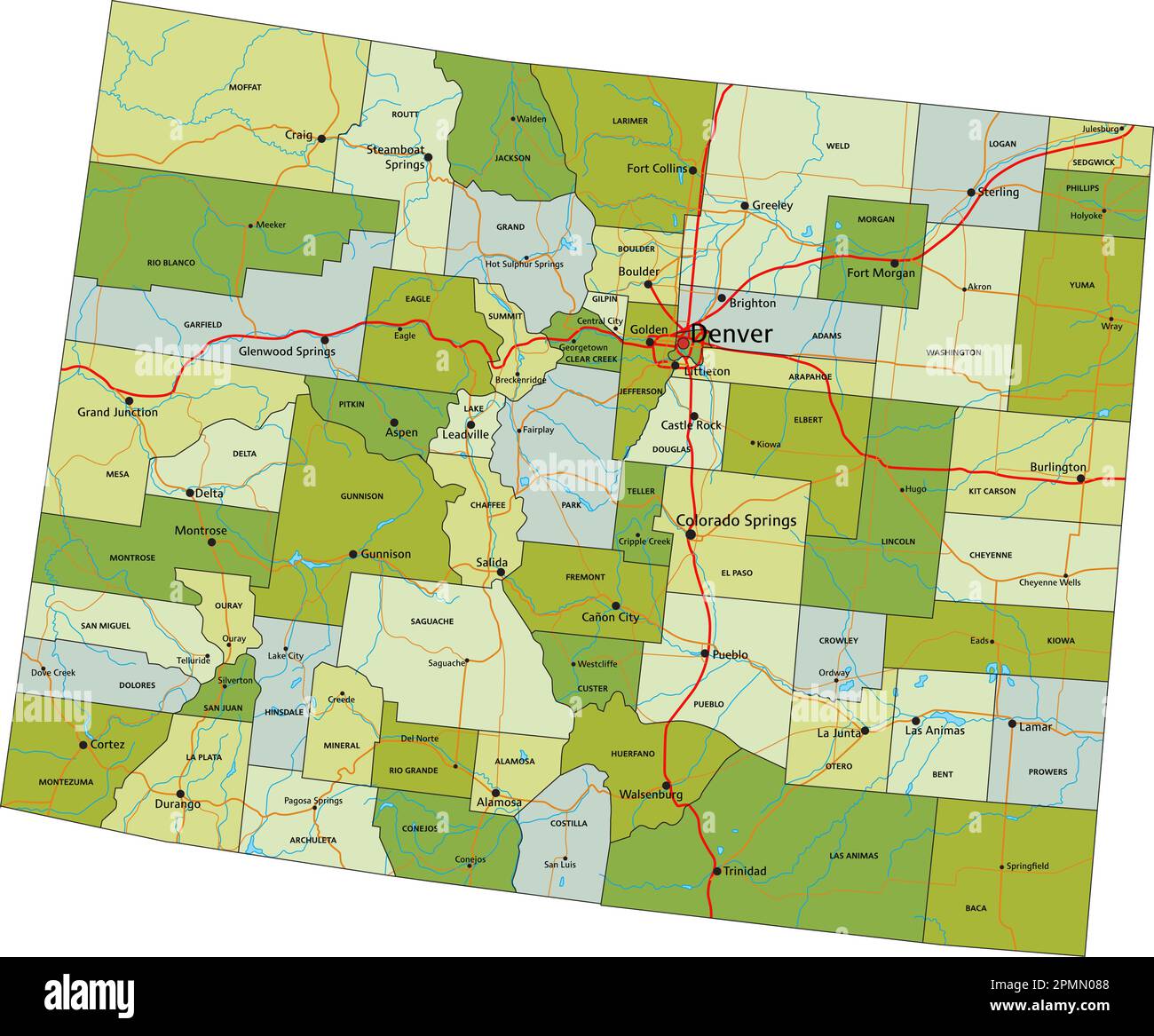 Highly detailed editable political map with separated layers. Colorado. Stock Vectorhttps://www.alamy.com/image-license-details/?v=1https://www.alamy.com/highly-detailed-editable-political-map-with-separated-layers-colorado-image546275752.html
RF2PMN088–Highly detailed editable political map with separated layers. Colorado.
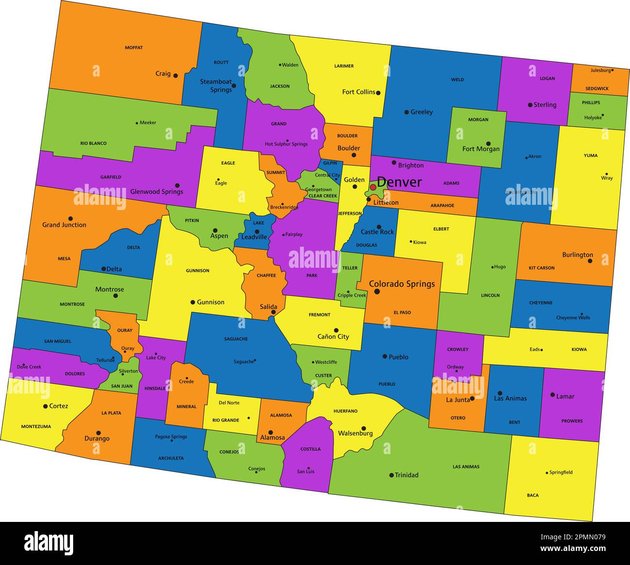 Colorful Colorado political map with clearly labeled, separated layers. Vector illustration. Stock Vectorhttps://www.alamy.com/image-license-details/?v=1https://www.alamy.com/colorful-colorado-political-map-with-clearly-labeled-separated-layers-vector-illustration-image546275725.html
RF2PMN079–Colorful Colorado political map with clearly labeled, separated layers. Vector illustration.