Colorado springs colorado map Stock Vectors & Vector Art
(114)See colorado springs colorado map stock video clipsColorado springs colorado map Stock Vectors & Vector Art
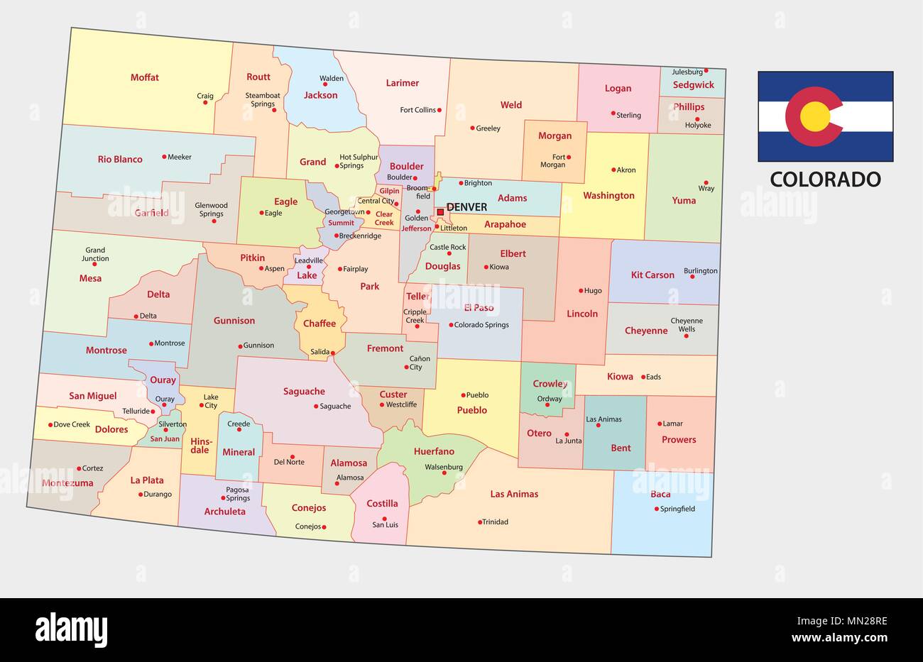 colorado administrative and political vector map Stock Vectorhttps://www.alamy.com/image-license-details/?v=1https://www.alamy.com/colorado-administrative-and-political-vector-map-image185062290.html
RFMN28RE–colorado administrative and political vector map
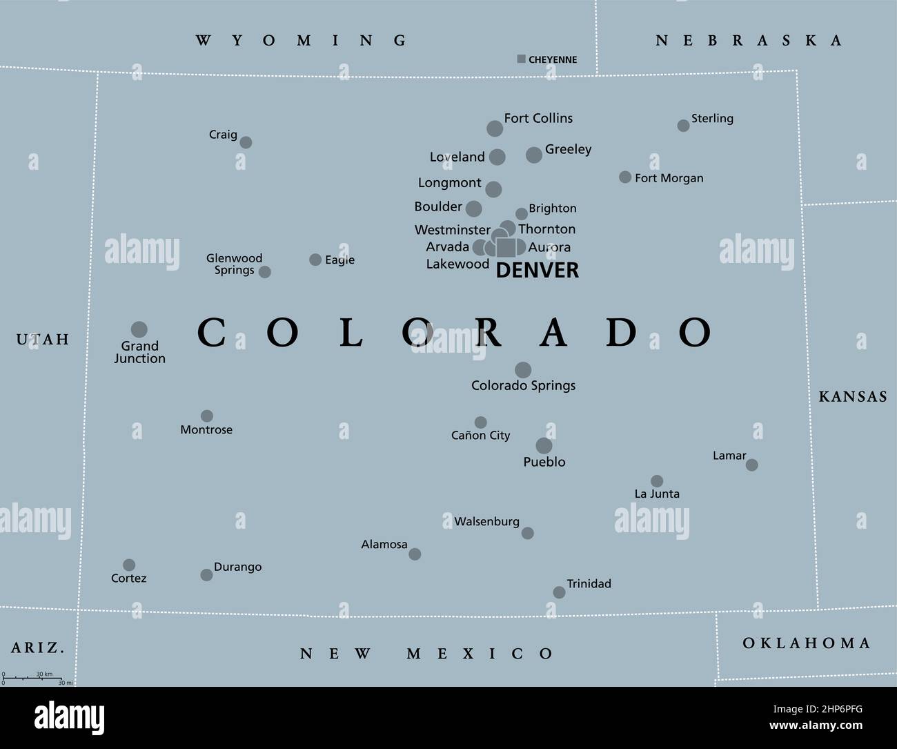 Colorado, CO, gray political map, US state, The Centennial State Stock Vectorhttps://www.alamy.com/image-license-details/?v=1https://www.alamy.com/colorado-co-gray-political-map-us-state-the-centennial-state-image461141396.html
RF2HP6PFG–Colorado, CO, gray political map, US state, The Centennial State
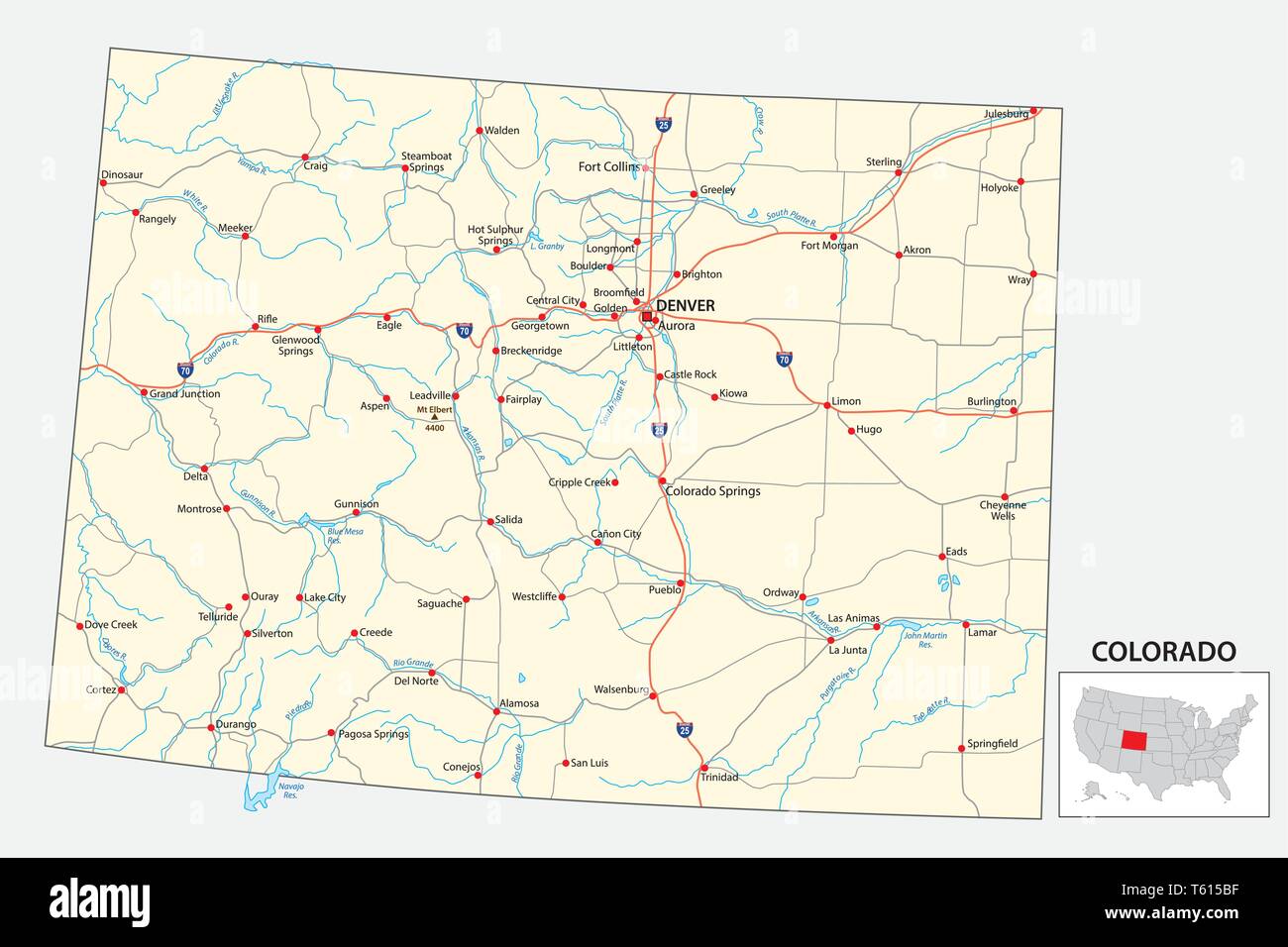 road map of the US American State of Colorado Stock Vectorhttps://www.alamy.com/image-license-details/?v=1https://www.alamy.com/road-map-of-the-us-american-state-of-colorado-image244659283.html
RFT615BF–road map of the US American State of Colorado
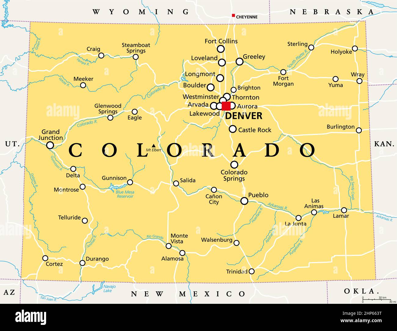 Colorado, CO, political map, US state, nicknamed The Centennial State Stock Vectorhttps://www.alamy.com/image-license-details/?v=1https://www.alamy.com/colorado-co-political-map-us-state-nicknamed-the-centennial-state-image461128524.html
RF2HP663T–Colorado, CO, political map, US state, nicknamed The Centennial State
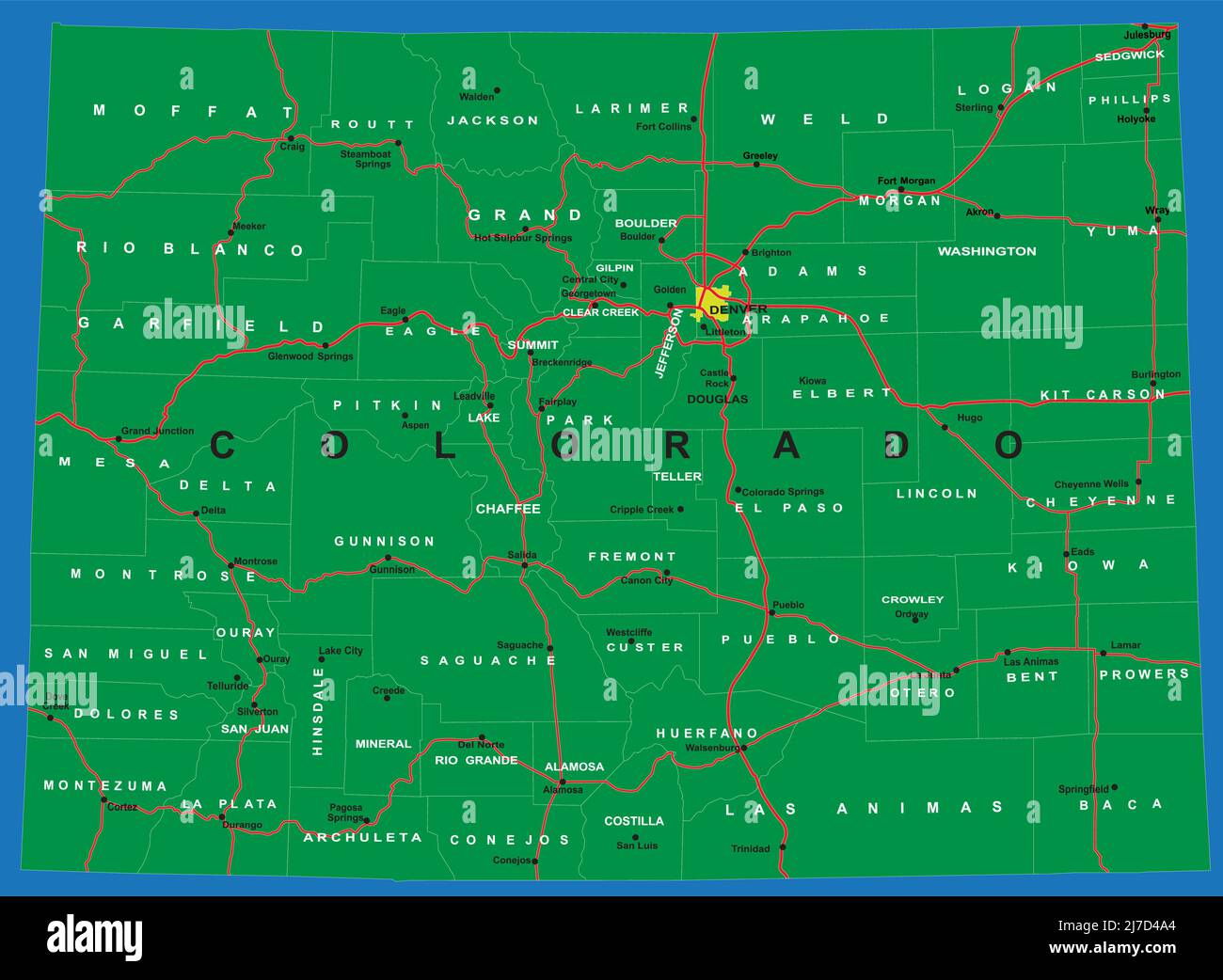 Highly detailed vector map of Colorado,with counties,main cities and roads. Stock Vectorhttps://www.alamy.com/image-license-details/?v=1https://www.alamy.com/highly-detailed-vector-map-of-coloradowith-countiesmain-cities-and-roads-image469271324.html
RF2J7D4A4–Highly detailed vector map of Colorado,with counties,main cities and roads.
 High detailed flag of Colorado. Colorado state flag, National Colorado flag. Flag of state Colorado. USA. America. Stock Vectorhttps://www.alamy.com/image-license-details/?v=1https://www.alamy.com/high-detailed-flag-of-colorado-colorado-state-flag-national-colorado-flag-flag-of-state-colorado-usa-america-image591838310.html
RF2WATFPE–High detailed flag of Colorado. Colorado state flag, National Colorado flag. Flag of state Colorado. USA. America.
 Colorado counties map and congressional districts since 2023 map. Denver and Colorado Springs cities skylines. Vector set Stock Vectorhttps://www.alamy.com/image-license-details/?v=1https://www.alamy.com/colorado-counties-map-and-congressional-districts-since-2023-map-denver-and-colorado-springs-cities-skylines-vector-set-image600100604.html
RF2WT8XCC–Colorado counties map and congressional districts since 2023 map. Denver and Colorado Springs cities skylines. Vector set
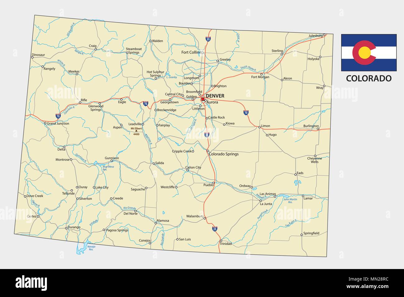 colorado road vector map with flag Stock Vectorhttps://www.alamy.com/image-license-details/?v=1https://www.alamy.com/colorado-road-vector-map-with-flag-image185062288.html
RFMN28RC–colorado road vector map with flag
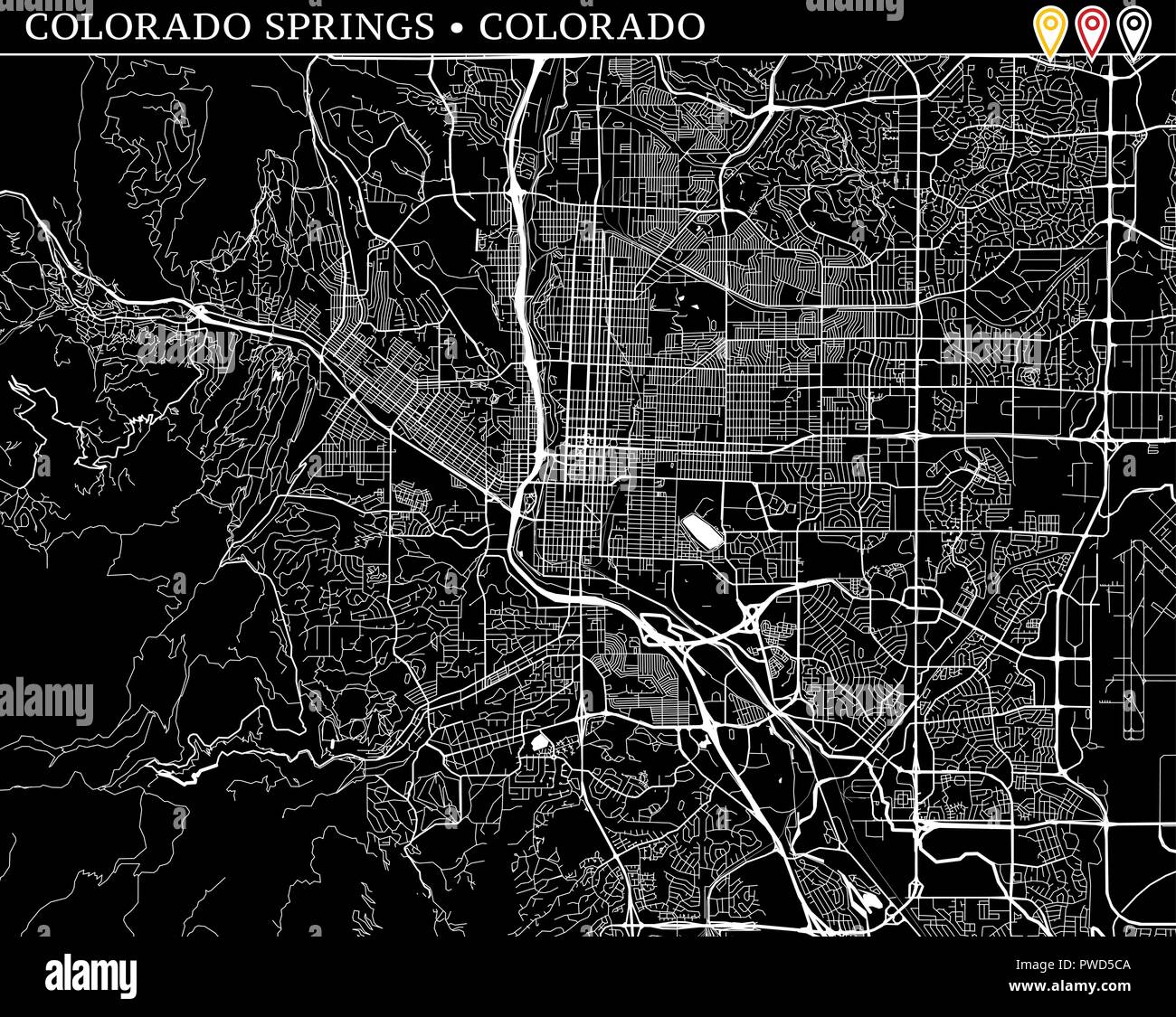 Simple map of Colorado Springs, Colorado, USA. Black and white version for clean backgrounds and prints. This map of Colorado Springs contains three m Stock Vectorhttps://www.alamy.com/image-license-details/?v=1https://www.alamy.com/simple-map-of-colorado-springs-colorado-usa-black-and-white-version-for-clean-backgrounds-and-prints-this-map-of-colorado-springs-contains-three-m-image222180458.html
RFPWD5CA–Simple map of Colorado Springs, Colorado, USA. Black and white version for clean backgrounds and prints. This map of Colorado Springs contains three m
 Merry Christmas illustration theme with map of Colorado Springs CO Stock Vectorhttps://www.alamy.com/image-license-details/?v=1https://www.alamy.com/merry-christmas-illustration-theme-with-map-of-colorado-springs-co-image226996592.html
RFR58GD4–Merry Christmas illustration theme with map of Colorado Springs CO
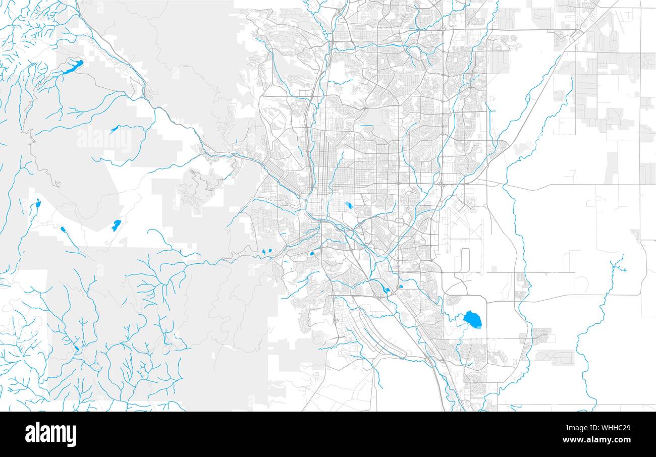 Rich detailed vector area map of Colorado Springs, Colorado, U.S.A.. Map template for home decor. Stock Vectorhttps://www.alamy.com/image-license-details/?v=1https://www.alamy.com/rich-detailed-vector-area-map-of-colorado-springs-colorado-usa-map-template-for-home-decor-image268987329.html
RFWHHC29–Rich detailed vector area map of Colorado Springs, Colorado, U.S.A.. Map template for home decor.
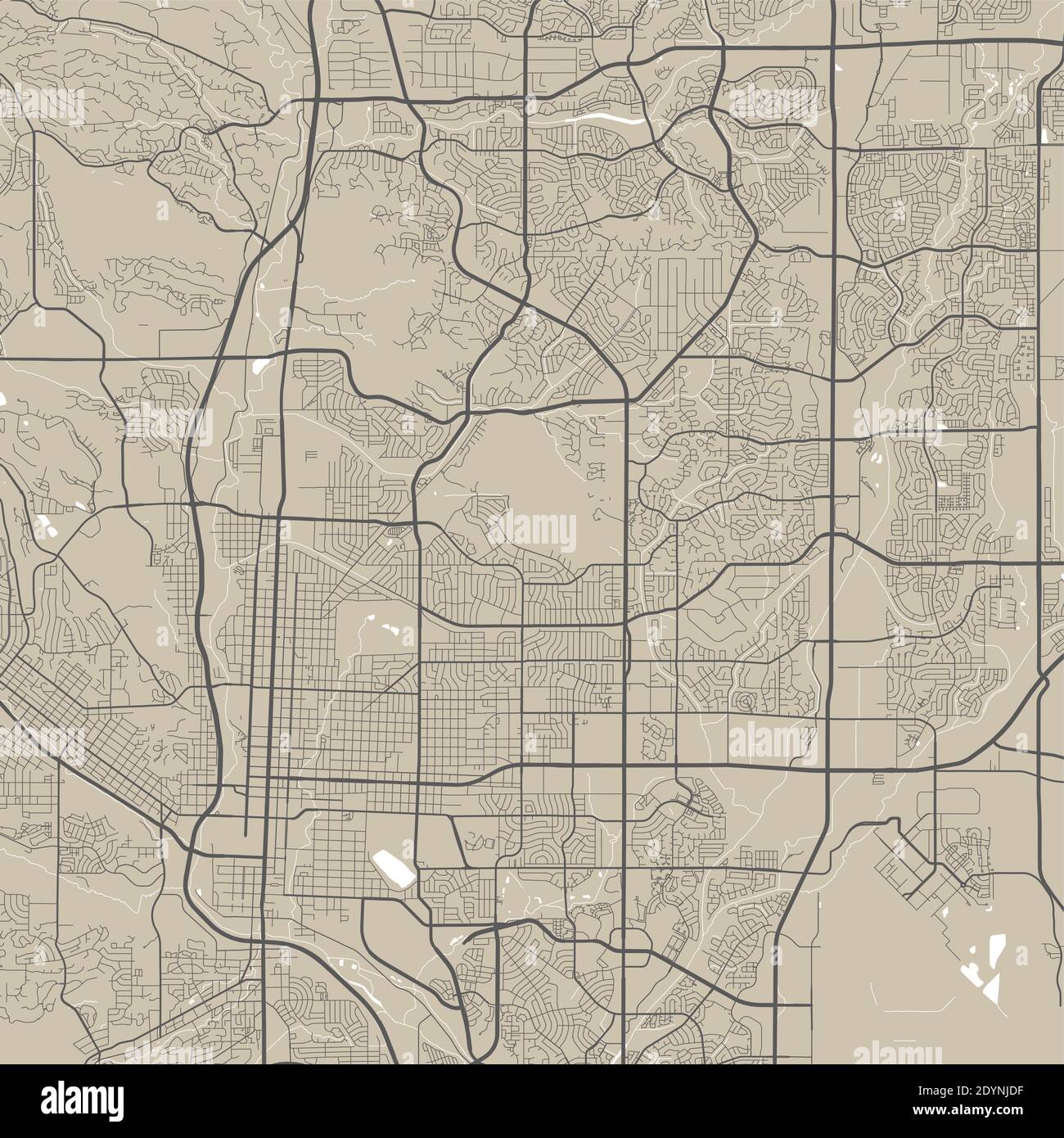 Detailed map of Colorado Springs city administrative area. Royalty free vector illustration. Cityscape panorama. Decorative graphic tourist map of Col Stock Vectorhttps://www.alamy.com/image-license-details/?v=1https://www.alamy.com/detailed-map-of-colorado-springs-city-administrative-area-royalty-free-vector-illustration-cityscape-panorama-decorative-graphic-tourist-map-of-col-image395699291.html
RF2DYNJDF–Detailed map of Colorado Springs city administrative area. Royalty free vector illustration. Cityscape panorama. Decorative graphic tourist map of Col
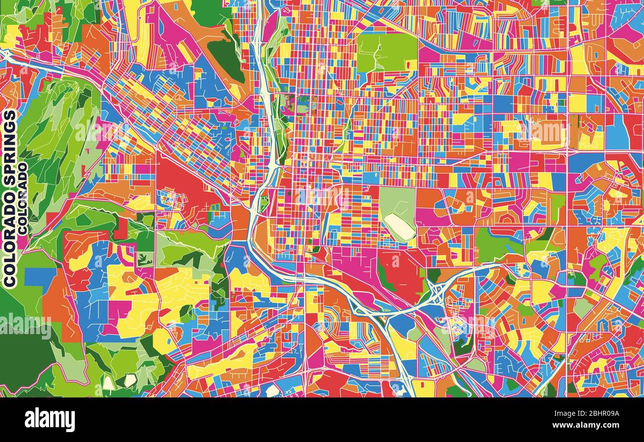 Colorful vector map of Colorado Springs, Colorado, U.S.A.. Art Map template for selfprinting wall art in landscape format. Stock Vectorhttps://www.alamy.com/image-license-details/?v=1https://www.alamy.com/colorful-vector-map-of-colorado-springs-colorado-usa-art-map-template-for-selfprinting-wall-art-in-landscape-format-image355161670.html
RF2BHR09A–Colorful vector map of Colorado Springs, Colorado, U.S.A.. Art Map template for selfprinting wall art in landscape format.
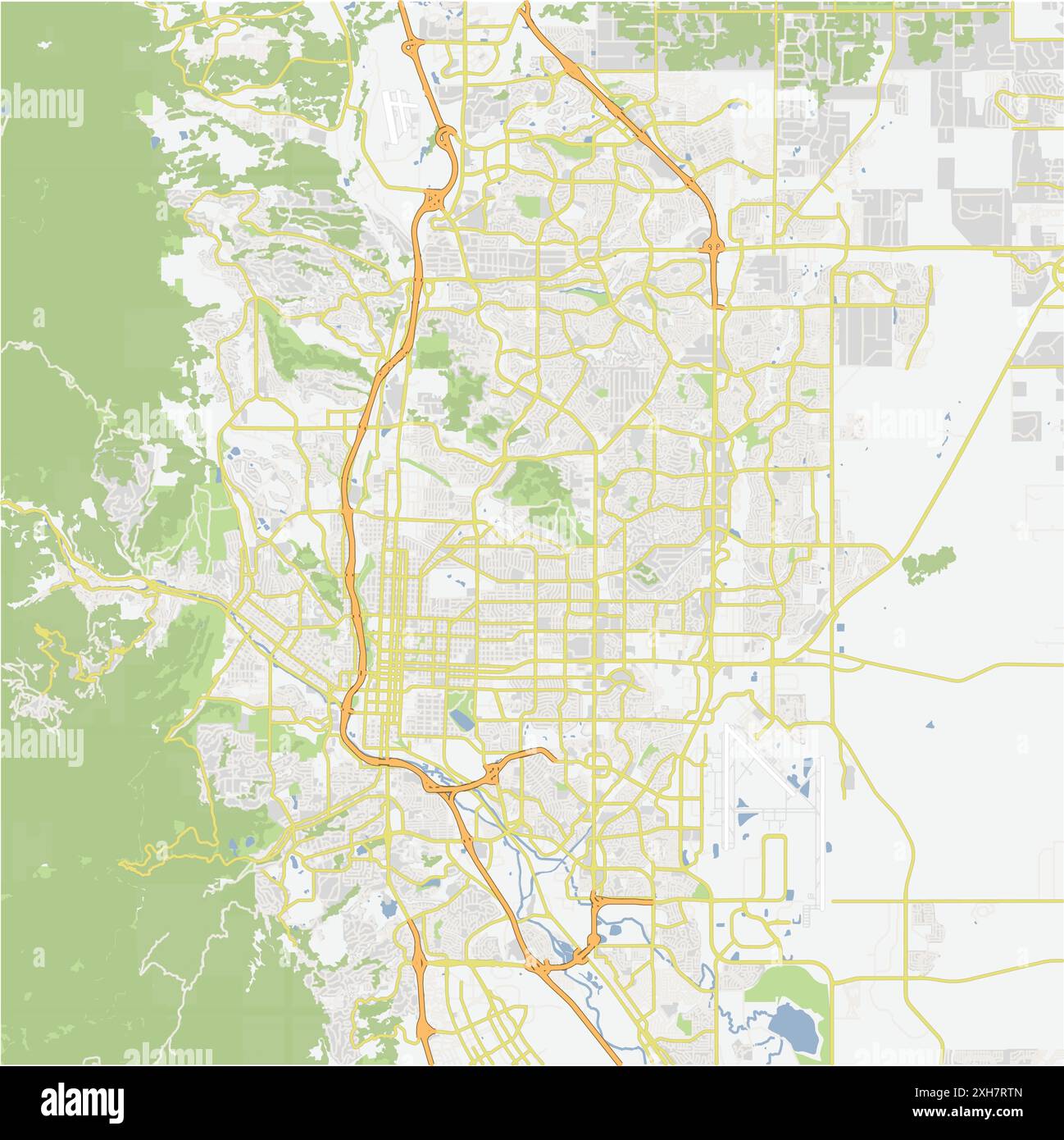 Road map of Colorado Springs in Colorado. Contains layered vector with roads water, parks, etc. Stock Vectorhttps://www.alamy.com/image-license-details/?v=1https://www.alamy.com/road-map-of-colorado-springs-in-colorado-contains-layered-vector-with-roads-water-parks-etc-image612984421.html
RF2XH7RTN–Road map of Colorado Springs in Colorado. Contains layered vector with roads water, parks, etc.
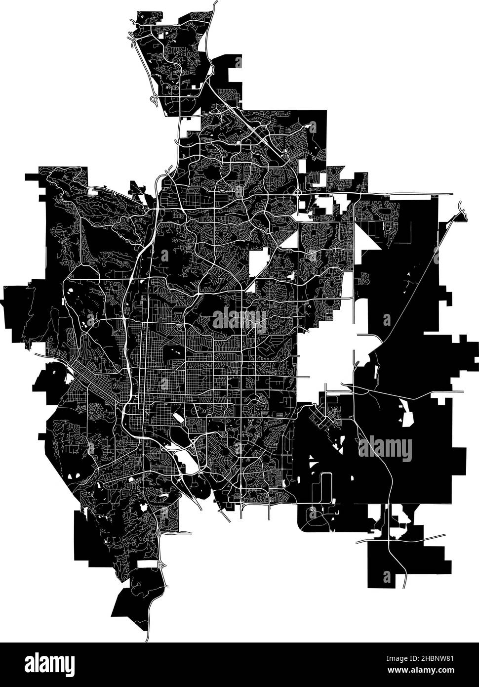 Colorado Springs, Colorado, United States, high resolution vector map with city boundaries, and editable paths. The city map was drawn with white area Stock Vectorhttps://www.alamy.com/image-license-details/?v=1https://www.alamy.com/colorado-springs-colorado-united-states-high-resolution-vector-map-with-city-boundaries-and-editable-paths-the-city-map-was-drawn-with-white-area-image454711601.html
RF2HBNW81–Colorado Springs, Colorado, United States, high resolution vector map with city boundaries, and editable paths. The city map was drawn with white area
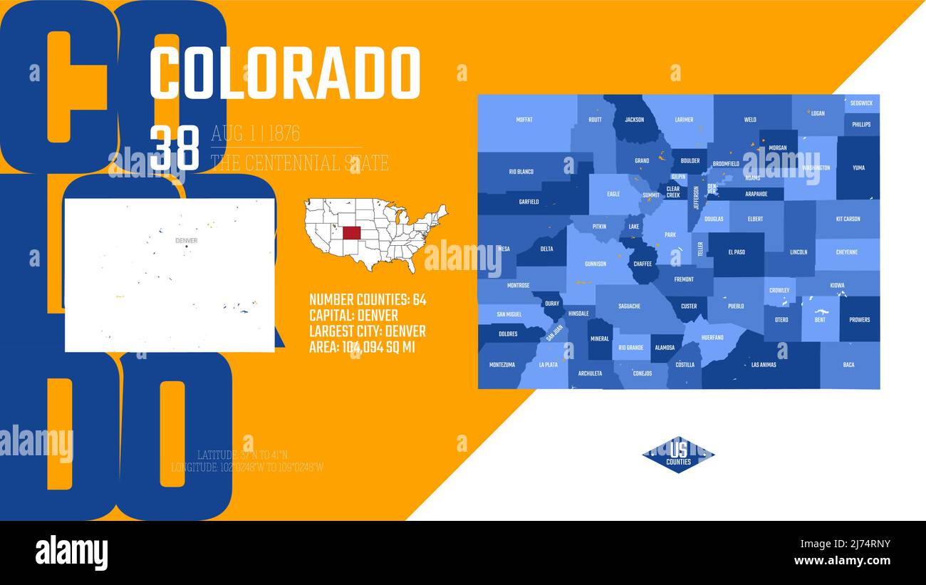 38 of 50 states of the United States, divided into counties with territory nicknames, Detailed vector Colorado Map with name and date admitted to the Stock Vectorhttps://www.alamy.com/image-license-details/?v=1https://www.alamy.com/38-of-50-states-of-the-united-states-divided-into-counties-with-territory-nicknames-detailed-vector-colorado-map-with-name-and-date-admitted-to-the-image469088983.html
RF2J74RNY–38 of 50 states of the United States, divided into counties with territory nicknames, Detailed vector Colorado Map with name and date admitted to the
 Colorado Springs, Colorado, logo design. Two in one vector arts. Big logo with vintage letters with nice colored background and one-color-version with Stock Vectorhttps://www.alamy.com/image-license-details/?v=1https://www.alamy.com/colorado-springs-colorado-logo-design-two-in-one-vector-arts-big-logo-with-vintage-letters-with-nice-colored-background-and-one-color-version-with-image181611866.html
RFMFD3P2–Colorado Springs, Colorado, logo design. Two in one vector arts. Big logo with vintage letters with nice colored background and one-color-version with
 38 of 50 states of the United States with a name, nickname, and date admitted to the Union, Detailed Vector Colorado Map for printing posters, postcar Stock Vectorhttps://www.alamy.com/image-license-details/?v=1https://www.alamy.com/38-of-50-states-of-the-united-states-with-a-name-nickname-and-date-admitted-to-the-union-detailed-vector-colorado-map-for-printing-posters-postcar-image468578586.html
RF2J69GNE–38 of 50 states of the United States with a name, nickname, and date admitted to the Union, Detailed Vector Colorado Map for printing posters, postcar
 Vector Flag of Denver simple flat design illustration Isolated on White Background Stock Vectorhttps://www.alamy.com/image-license-details/?v=1https://www.alamy.com/vector-flag-of-denver-simple-flat-design-illustration-isolated-on-white-background-image239817308.html
RFRX4HBT–Vector Flag of Denver simple flat design illustration Isolated on White Background
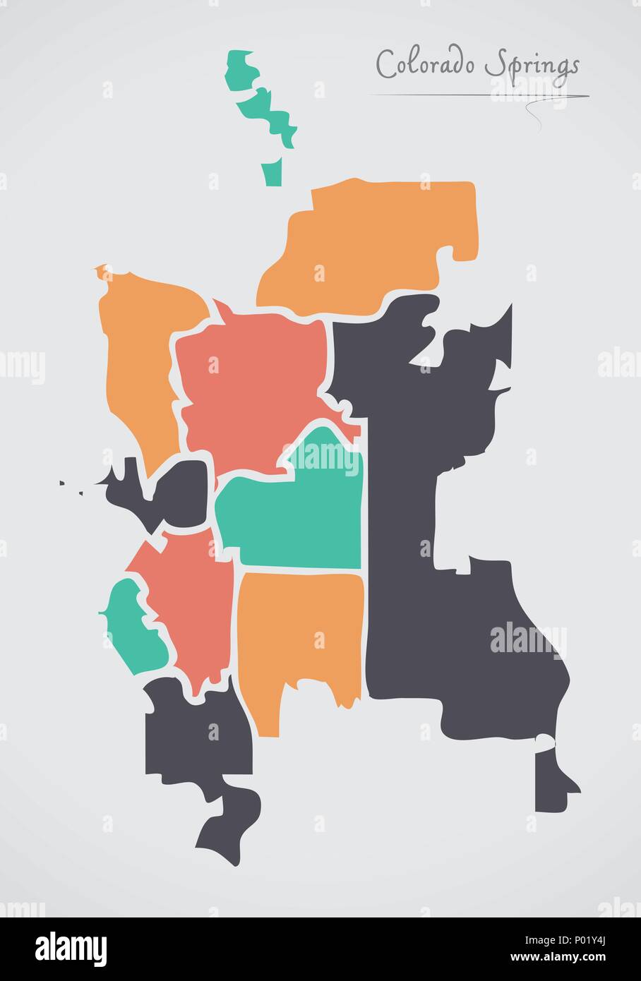 Colorado Springs CO Map with neighborhoods and modern round shapes Stock Vectorhttps://www.alamy.com/image-license-details/?v=1https://www.alamy.com/colorado-springs-co-map-with-neighborhoods-and-modern-round-shapes-image206567666.html
RFP01Y4J–Colorado Springs CO Map with neighborhoods and modern round shapes
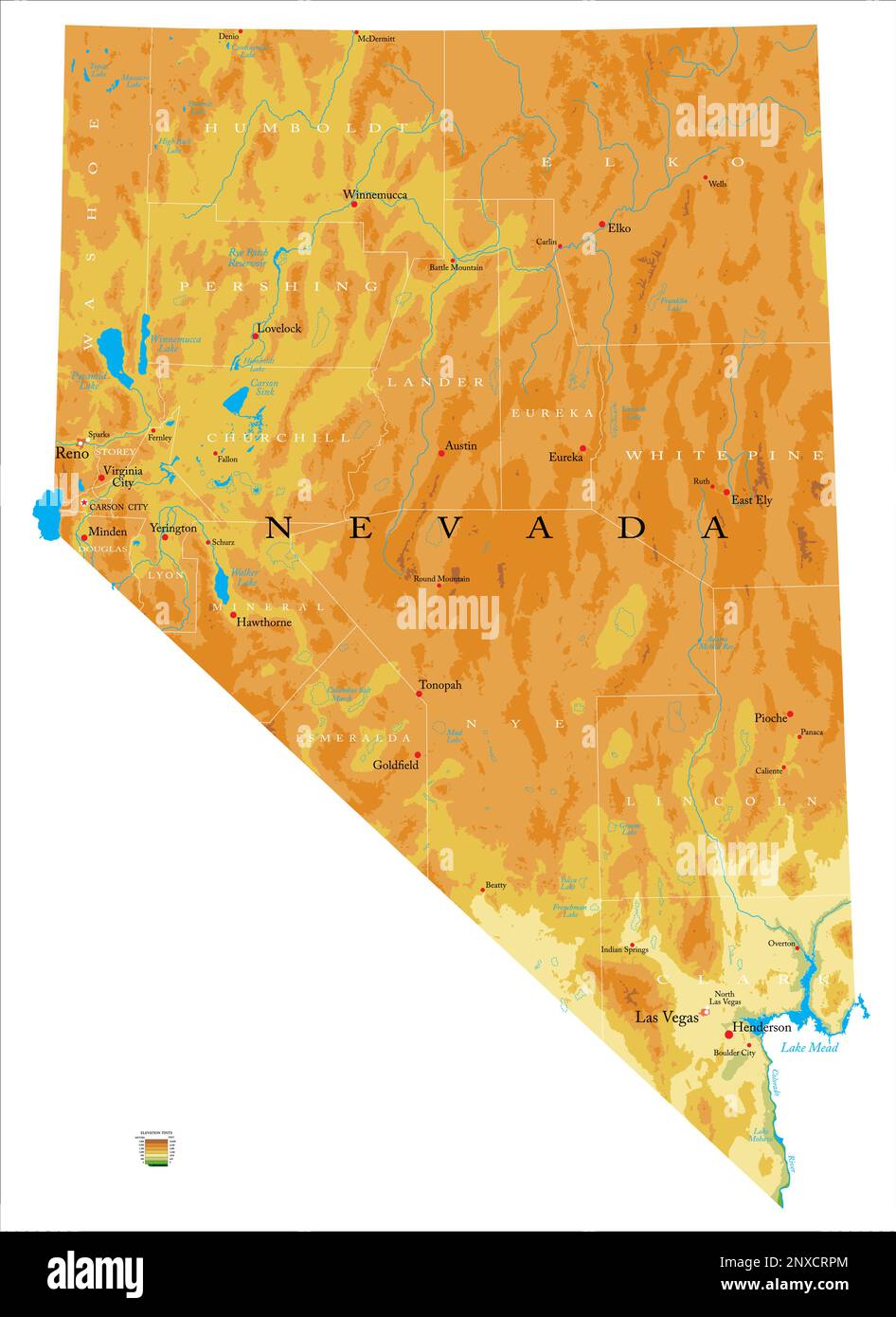 Highly detailed physical map of the Nevada, in vector format,with all the relief forms,regions and big cities. Stock Vectorhttps://www.alamy.com/image-license-details/?v=1https://www.alamy.com/highly-detailed-physical-map-of-the-nevada-in-vector-formatwith-all-the-relief-formsregions-and-big-cities-image532574188.html
RF2NXCRPM–Highly detailed physical map of the Nevada, in vector format,with all the relief forms,regions and big cities.
 Arkansas Regions Word Clouds. Bright typographic style design on dark background. Arkansas region names tag clouds. Boundary shape. Stock Vectorhttps://www.alamy.com/image-license-details/?v=1https://www.alamy.com/arkansas-regions-word-clouds-bright-typographic-style-design-on-dark-background-arkansas-region-names-tag-clouds-boundary-shape-image683695796.html
RF3BM90Y0–Arkansas Regions Word Clouds. Bright typographic style design on dark background. Arkansas region names tag clouds. Boundary shape.
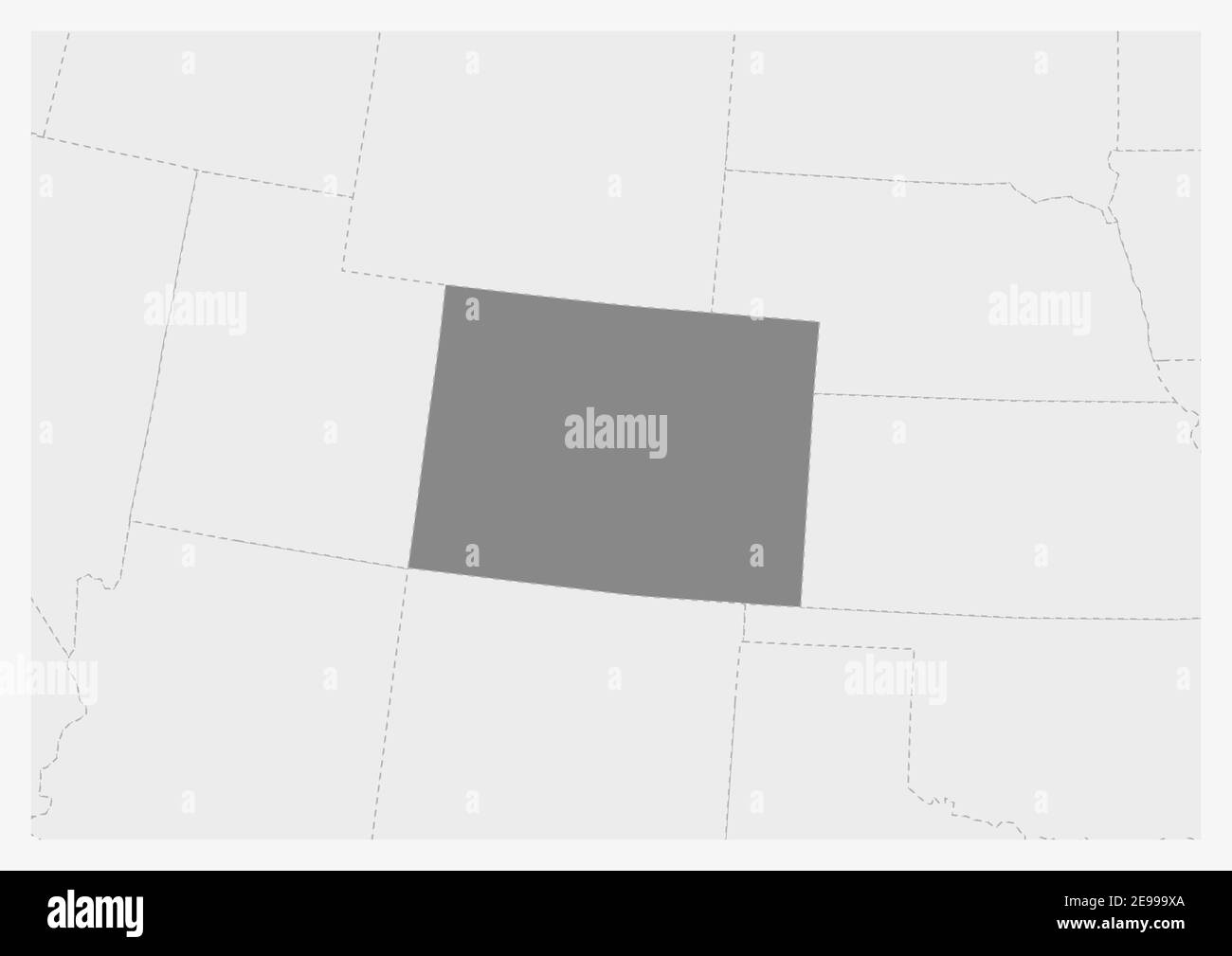 Map of USA with highlighted Colorado map, gray map of US State Colorado with neighboring countries Stock Vectorhttps://www.alamy.com/image-license-details/?v=1https://www.alamy.com/map-of-usa-with-highlighted-colorado-map-gray-map-of-us-state-colorado-with-neighboring-countries-image401575730.html
RF2E999XA–Map of USA with highlighted Colorado map, gray map of US State Colorado with neighboring countries
RF3BET5GP–Flag of Colorado. Colorado flag official colors tilted icon digital vector illustration design.
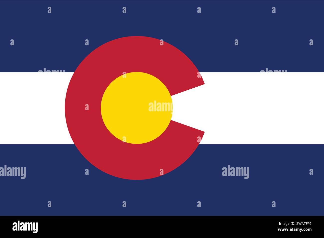 High detailed flag of Colorado. Colorado state flag, National Colorado flag. Flag of state Colorado. USA. America. Stock Vectorhttps://www.alamy.com/image-license-details/?v=1https://www.alamy.com/high-detailed-flag-of-colorado-colorado-state-flag-national-colorado-flag-flag-of-state-colorado-usa-america-image591838301.html
RF2WATFP5–High detailed flag of Colorado. Colorado state flag, National Colorado flag. Flag of state Colorado. USA. America.
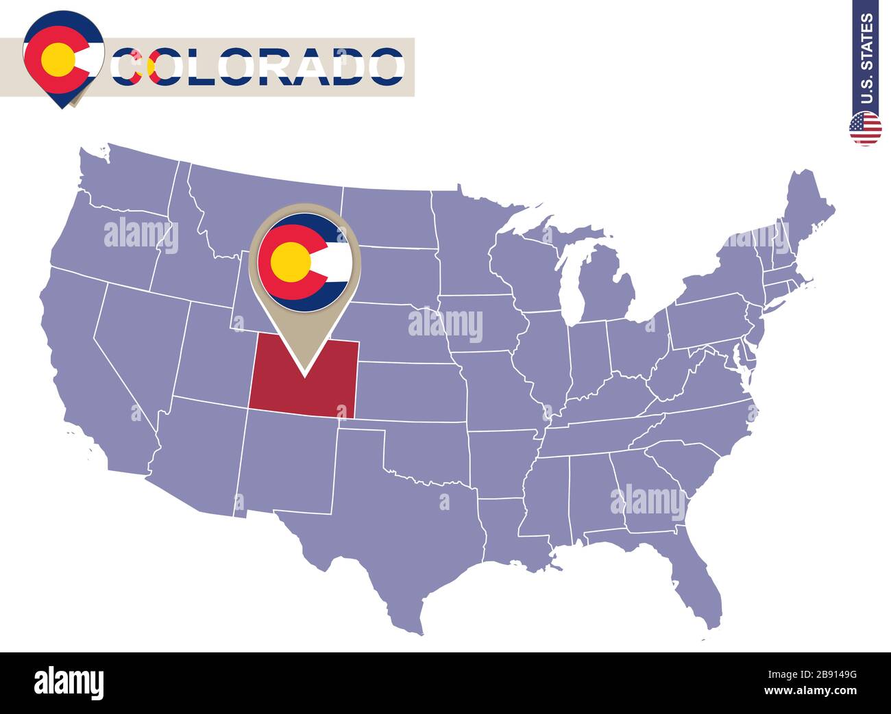 Colorado State on USA Map. Colorado flag and map. US States. Stock Vectorhttps://www.alamy.com/image-license-details/?v=1https://www.alamy.com/colorado-state-on-usa-map-colorado-flag-and-map-us-states-image349764620.html
RF2B9149G–Colorado State on USA Map. Colorado flag and map. US States.
 Flag of Colorado. Colorado flag official colors and proportion digital vector illustration. Wavy flag. Pleated flag. Stock Vectorhttps://www.alamy.com/image-license-details/?v=1https://www.alamy.com/flag-of-colorado-colorado-flag-official-colors-and-proportion-digital-vector-illustration-wavy-flag-pleated-flag-image677471998.html
RF3BA5ECE–Flag of Colorado. Colorado flag official colors and proportion digital vector illustration. Wavy flag. Pleated flag.
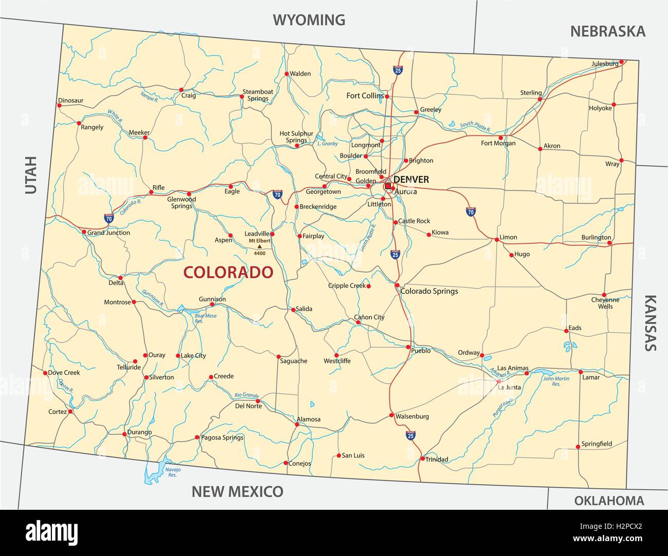 colorado road map Stock Vectorhttps://www.alamy.com/image-license-details/?v=1https://www.alamy.com/stock-photo-colorado-road-map-122194970.html
RFH2PCX2–colorado road map
 Highly Detailed Colorado Silhouette map. Stock Vectorhttps://www.alamy.com/image-license-details/?v=1https://www.alamy.com/highly-detailed-colorado-silhouette-map-image546275764.html
RF2PMN08M–Highly Detailed Colorado Silhouette map.
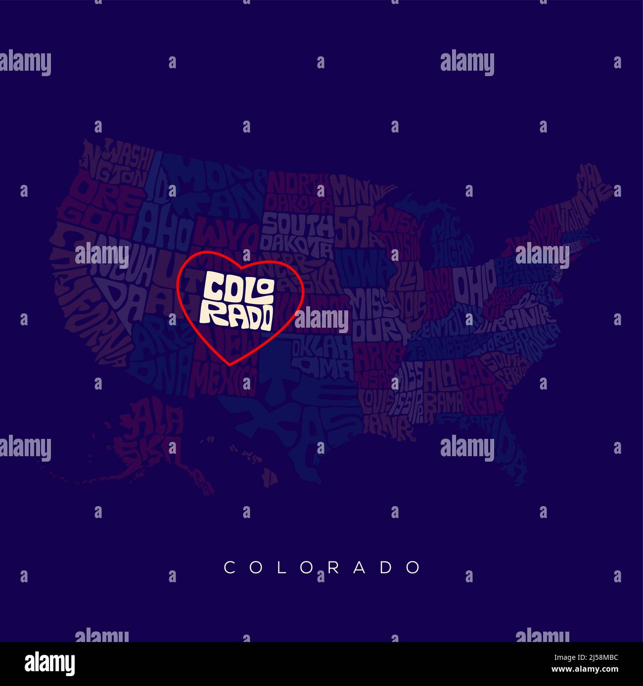 Colorado state map typography. US map lettering with all states name. Stock Vectorhttps://www.alamy.com/image-license-details/?v=1https://www.alamy.com/colorado-state-map-typography-us-map-lettering-with-all-states-name-image467944832.html
RF2J58MBC–Colorado state map typography. US map lettering with all states name.
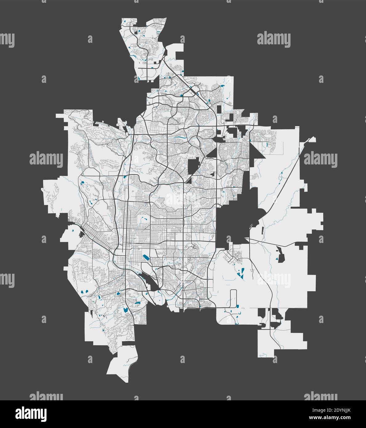 Colorado Springs map. Detailed map of Colorado Springs city administrative area. Cityscape panorama. Royalty free vector illustration. Outline map wit Stock Vectorhttps://www.alamy.com/image-license-details/?v=1https://www.alamy.com/colorado-springs-map-detailed-map-of-colorado-springs-city-administrative-area-cityscape-panorama-royalty-free-vector-illustration-outline-map-wit-image395699435.html
RF2DYNJJK–Colorado Springs map. Detailed map of Colorado Springs city administrative area. Cityscape panorama. Royalty free vector illustration. Outline map wit
 Greetings from Colorado Springs vintage rusty metal sign on a white background, vector illustration Stock Vectorhttps://www.alamy.com/image-license-details/?v=1https://www.alamy.com/greetings-from-colorado-springs-vintage-rusty-metal-sign-on-a-white-background-vector-illustration-image503748980.html
RF2M7FMY0–Greetings from Colorado Springs vintage rusty metal sign on a white background, vector illustration
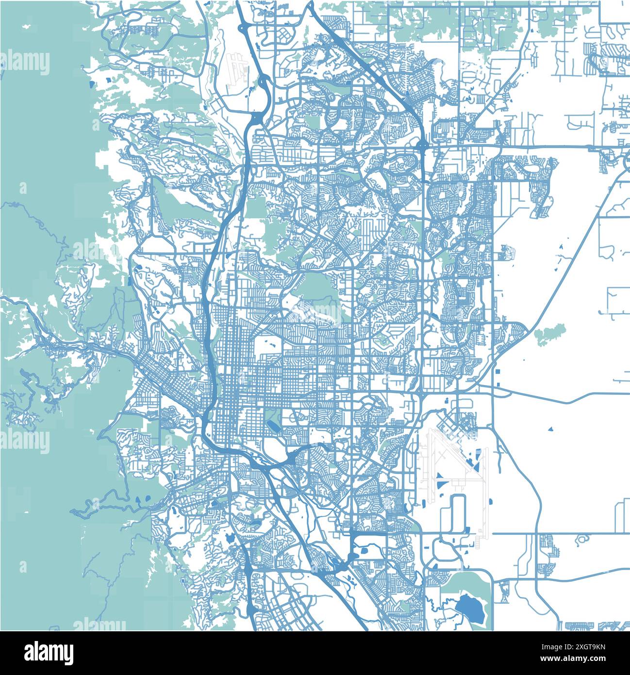 Map of Colorado Springs in Colorado in blue. Contains layered vector with roads water, parks, etc. Stock Vectorhttps://www.alamy.com/image-license-details/?v=1https://www.alamy.com/map-of-colorado-springs-in-colorado-in-blue-contains-layered-vector-with-roads-water-parks-etc-image612731833.html
RF2XGT9KN–Map of Colorado Springs in Colorado in blue. Contains layered vector with roads water, parks, etc.
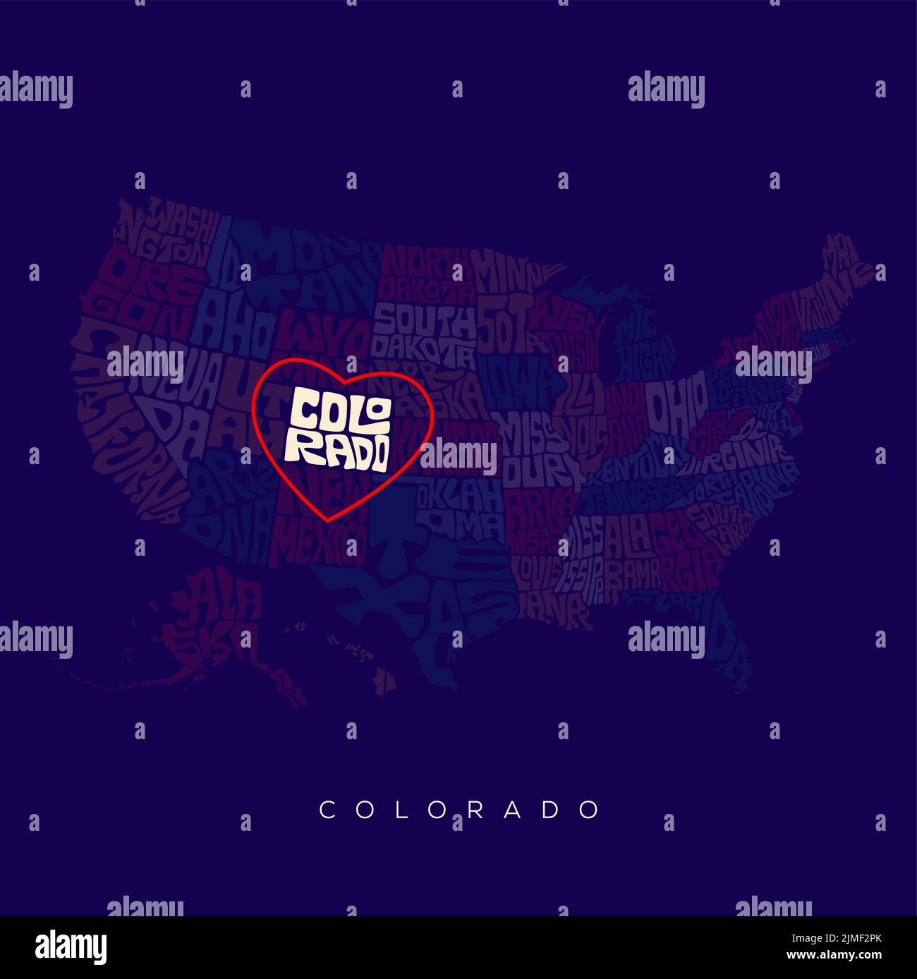 Colorado state map typography. US map lettering with all states' names. Stock Vectorhttps://www.alamy.com/image-license-details/?v=1https://www.alamy.com/colorado-state-map-typography-us-map-lettering-with-all-states-names-image477304539.html
RF2JMF2PK–Colorado state map typography. US map lettering with all states' names.
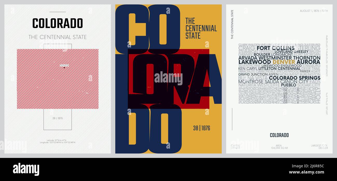 38 of 50 sets, US State Posters with name and Information in 3 Design Styles, Detailed vector art print Colorado map Stock Vectorhttps://www.alamy.com/image-license-details/?v=1https://www.alamy.com/38-of-50-sets-us-state-posters-with-name-and-information-in-3-design-styles-detailed-vector-art-print-colorado-map-image468879192.html
RF2J6R85C–38 of 50 sets, US State Posters with name and Information in 3 Design Styles, Detailed vector art print Colorado map
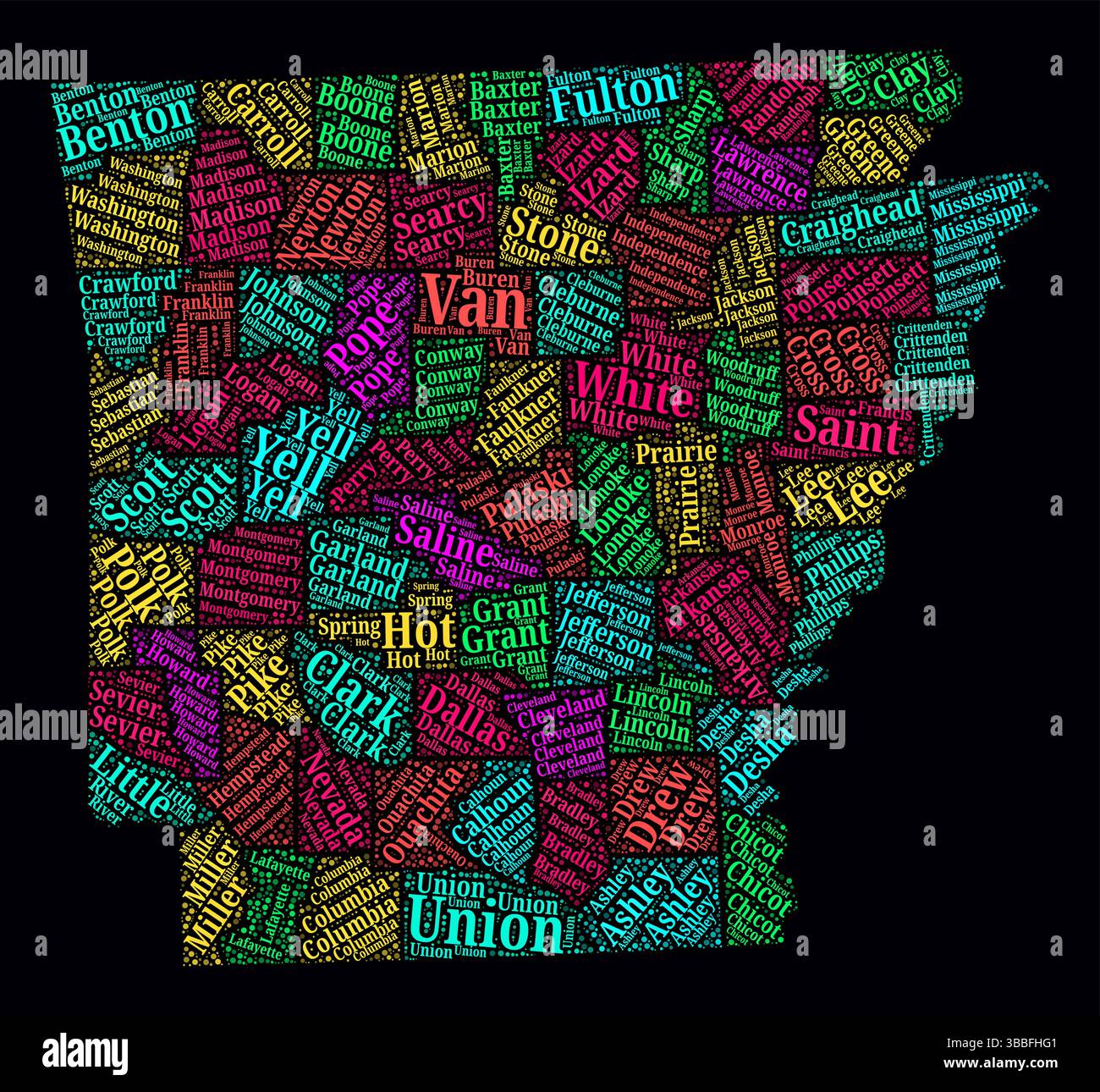 Arkansas Word Cloud. Bright neon style design on dark background. Region names text cloud. Boundary shape with administrative division. Stock Vectorhttps://www.alamy.com/image-license-details/?v=1https://www.alamy.com/arkansas-word-cloud-bright-neon-style-design-on-dark-background-region-names-text-cloud-boundary-shape-with-administrative-division-image678308625.html
RF3BBFHG1–Arkansas Word Cloud. Bright neon style design on dark background. Region names text cloud. Boundary shape with administrative division.
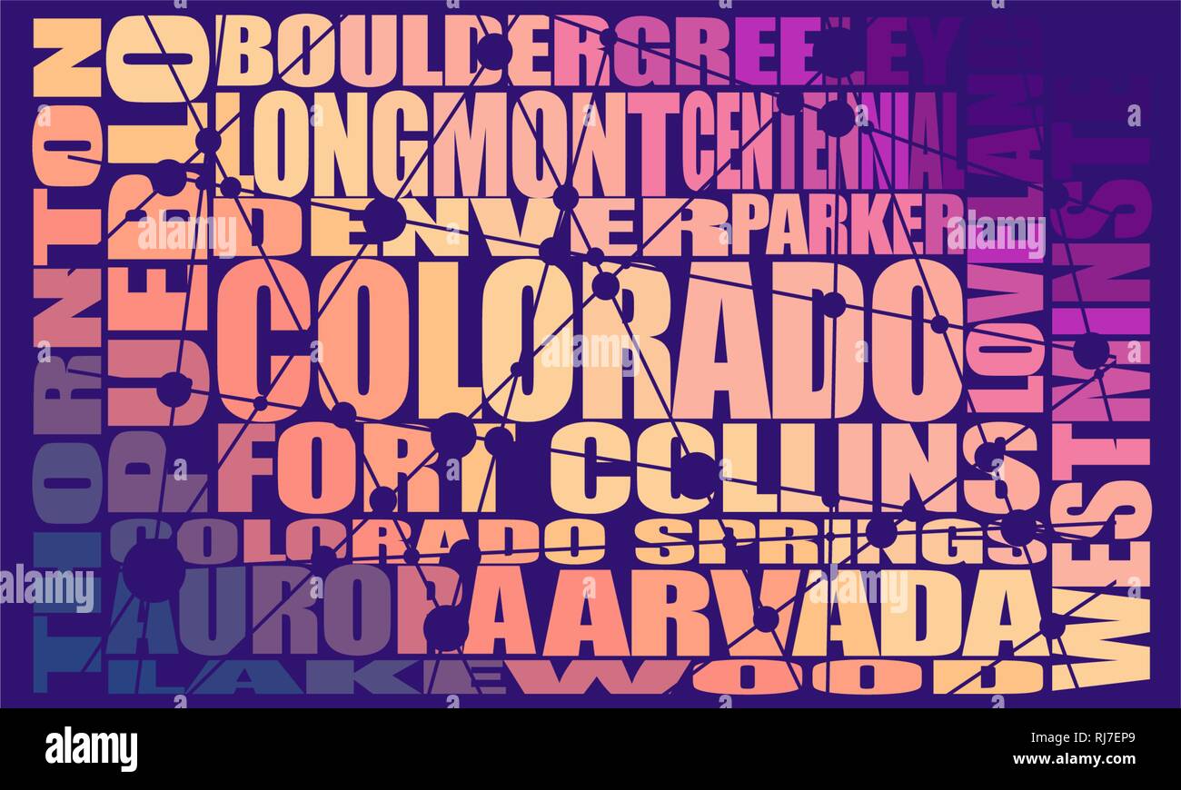 Colorado state cities Stock Vectorhttps://www.alamy.com/image-license-details/?v=1https://www.alamy.com/colorado-state-cities-image234963857.html
RFRJ7EP9–Colorado state cities
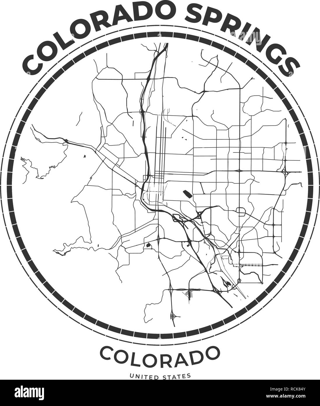 T-shirt map badge of Colorado Springs, Colorado. Tee shirt print typography label badge emblem. Vector illustration Stock Vectorhttps://www.alamy.com/image-license-details/?v=1https://www.alamy.com/t-shirt-map-badge-of-colorado-springs-colorado-tee-shirt-print-typography-label-badge-emblem-vector-illustration-image231534155.html
RFRCK84Y–T-shirt map badge of Colorado Springs, Colorado. Tee shirt print typography label badge emblem. Vector illustration
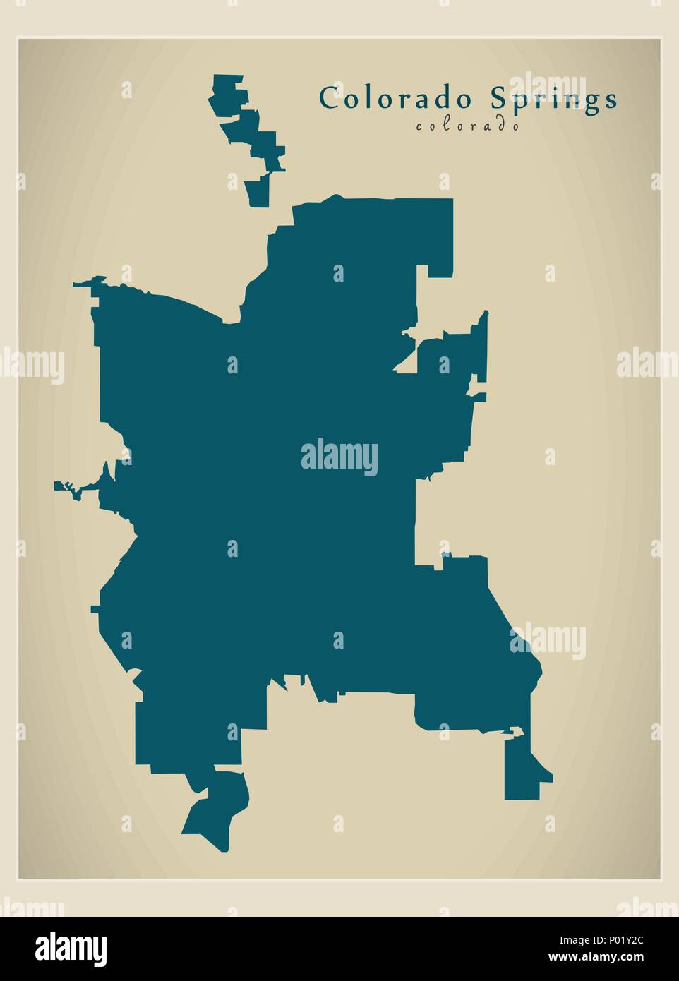 Modern City Map - Colorado Springs CO city of the USA Stock Vectorhttps://www.alamy.com/image-license-details/?v=1https://www.alamy.com/modern-city-map-colorado-springs-co-city-of-the-usa-image206567604.html
RFP01Y2C–Modern City Map - Colorado Springs CO city of the USA
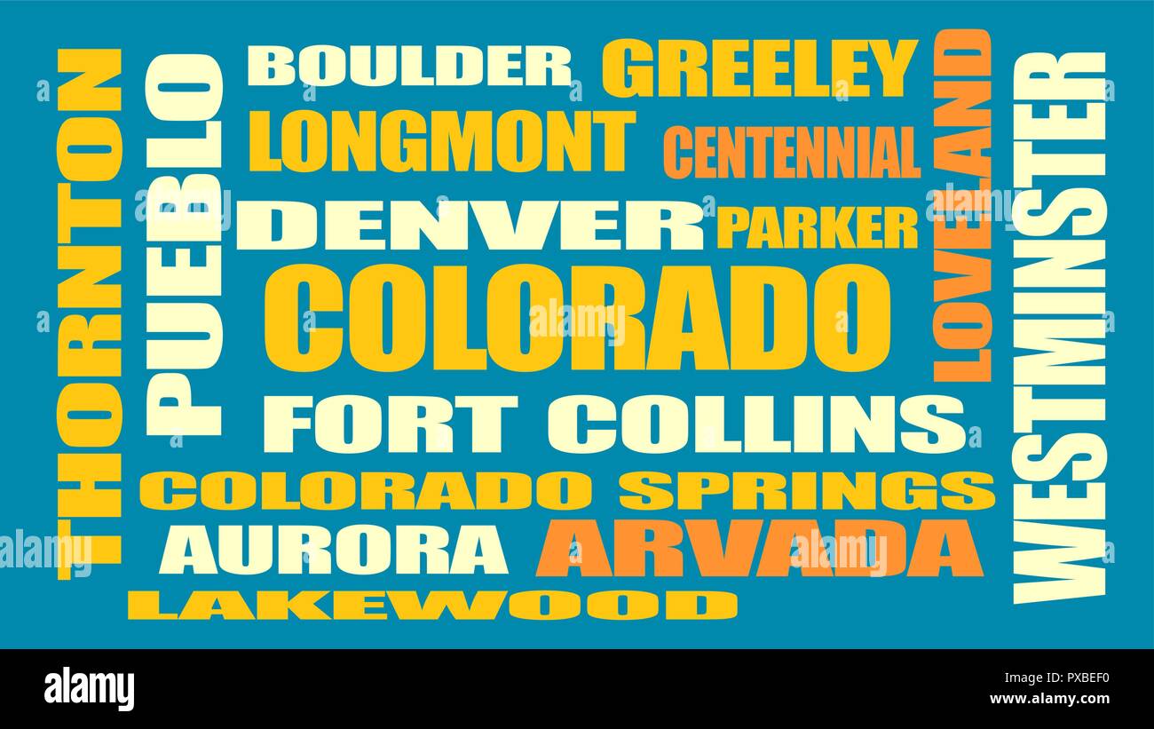 colorado state cities list Stock Vectorhttps://www.alamy.com/image-license-details/?v=1https://www.alamy.com/colorado-state-cities-list-image222758340.html
RFPXBEF0–colorado state cities list
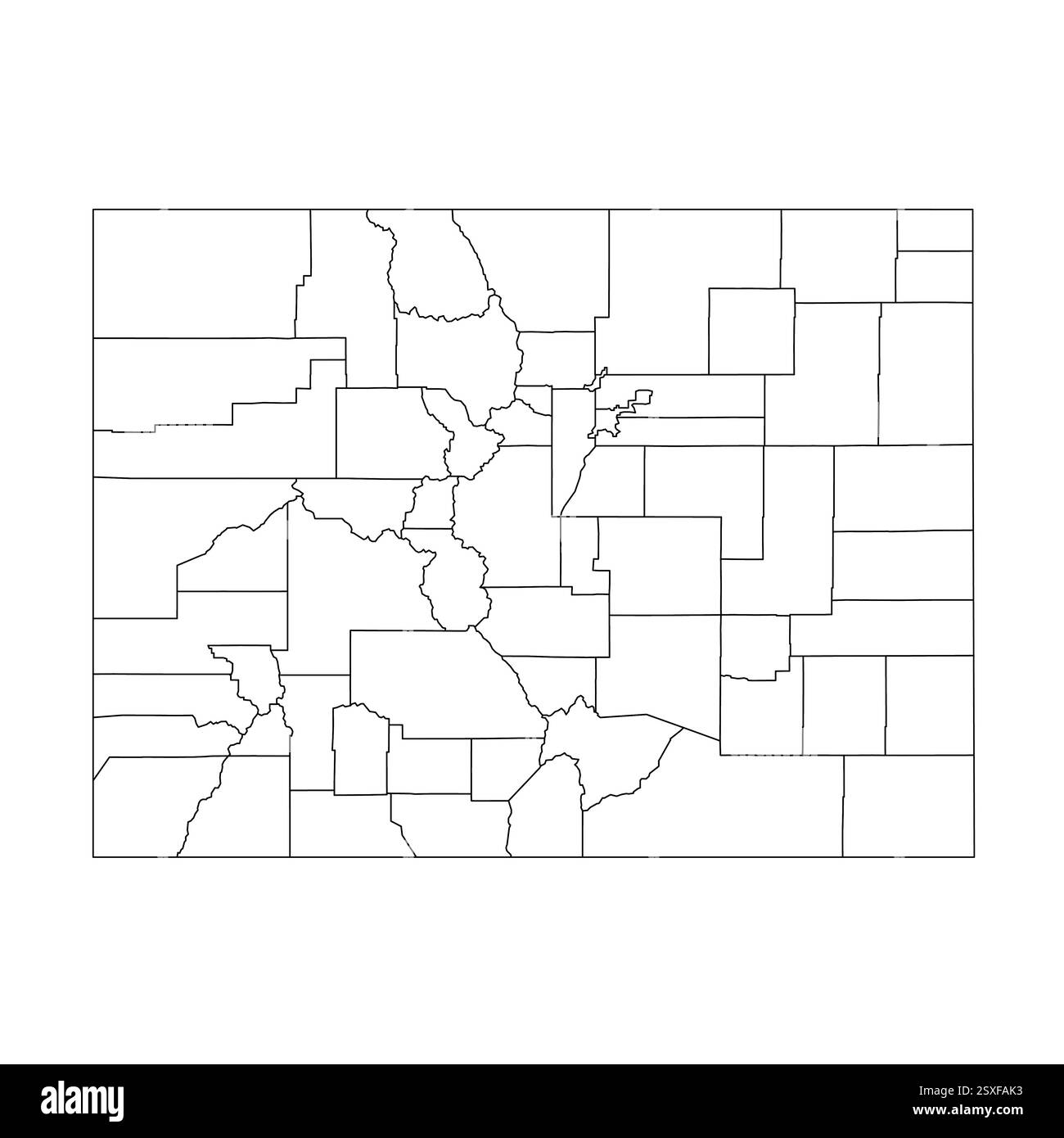 Colorado, CO - detailed political map of US state. Administrative map divided into counties. Thin blank black outline map. Vector illustration Stock Vectorhttps://www.alamy.com/image-license-details/?v=1https://www.alamy.com/colorado-co-detailed-political-map-of-us-state-administrative-map-divided-into-counties-thin-blank-black-outline-map-vector-illustration-image653102327.html
RF2SXFAK3–Colorado, CO - detailed political map of US state. Administrative map divided into counties. Thin blank black outline map. Vector illustration
 Colorado Springs City (United States cities, United States of America, usa city) map vector illustration, scribble sketch City of Colorado Springs map Stock Vectorhttps://www.alamy.com/image-license-details/?v=1https://www.alamy.com/colorado-springs-city-united-states-cities-united-states-of-america-usa-city-map-vector-illustration-scribble-sketch-city-of-colorado-springs-map-image230534137.html
RFRB1MJ1–Colorado Springs City (United States cities, United States of America, usa city) map vector illustration, scribble sketch City of Colorado Springs map
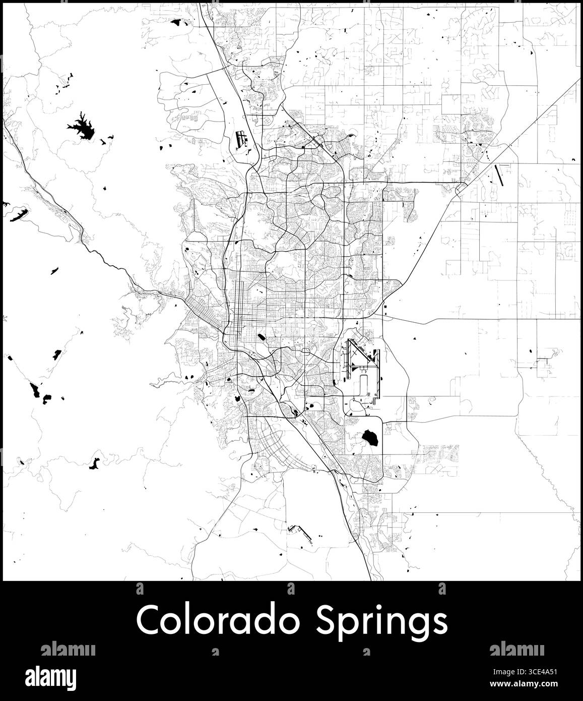 Colorado Springs city map, United States - Topographic vector map poster Stock Vectorhttps://www.alamy.com/image-license-details/?v=1https://www.alamy.com/colorado-springs-city-map-united-states-topographic-vector-map-poster-image697115693.html
RF3CE4A51–Colorado Springs city map, United States - Topographic vector map poster
 Colorado Springs , United States, outline travel skyline vector illustration. Stock Vectorhttps://www.alamy.com/image-license-details/?v=1https://www.alamy.com/colorado-springs-united-states-outline-travel-skyline-vector-illustration-image243949869.html
RFT4TTF9–Colorado Springs , United States, outline travel skyline vector illustration.
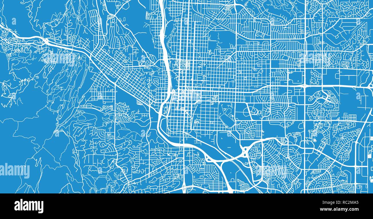 Urban vector city map of Colorado Springs, Colorado, United States of America Stock Vectorhttps://www.alamy.com/image-license-details/?v=1https://www.alamy.com/urban-vector-city-map-of-colorado-springs-colorado-united-states-of-america-image231170525.html
RFRC2MA5–Urban vector city map of Colorado Springs, Colorado, United States of America
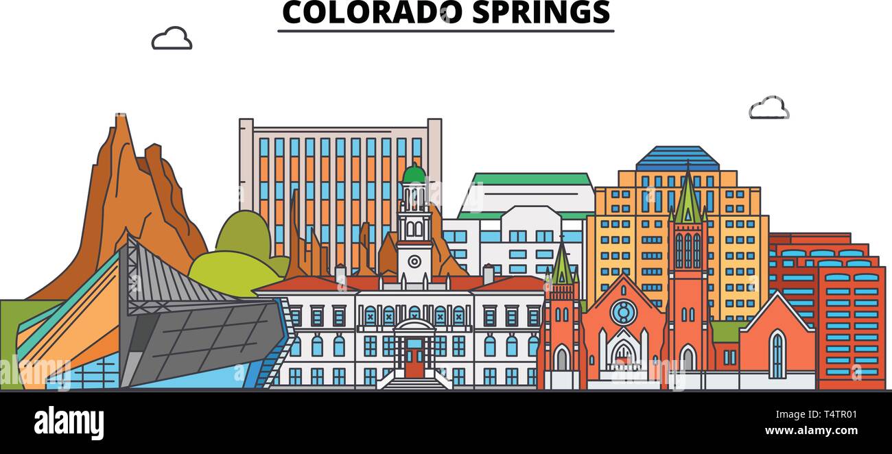 Colorado Springs , United States, outline travel skyline vector illustration. Stock Vectorhttps://www.alamy.com/image-license-details/?v=1https://www.alamy.com/colorado-springs-united-states-outline-travel-skyline-vector-illustration-image243948657.html
RFT4TR01–Colorado Springs , United States, outline travel skyline vector illustration.
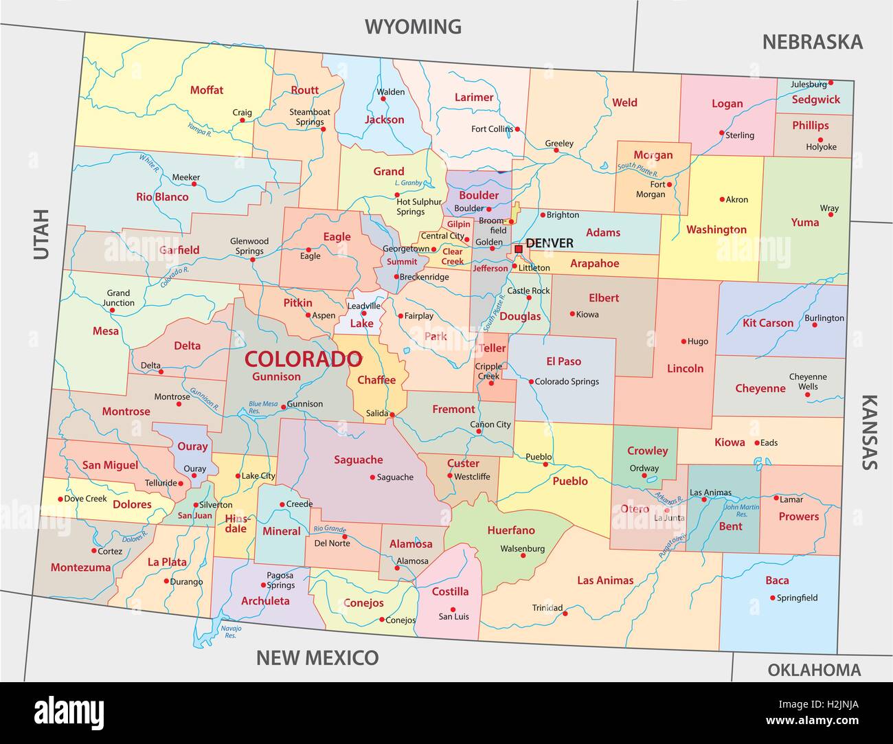 Colorado administrative map Stock Vectorhttps://www.alamy.com/image-license-details/?v=1https://www.alamy.com/stock-photo-colorado-administrative-map-122114002.html
RFH2JNJA–Colorado administrative map
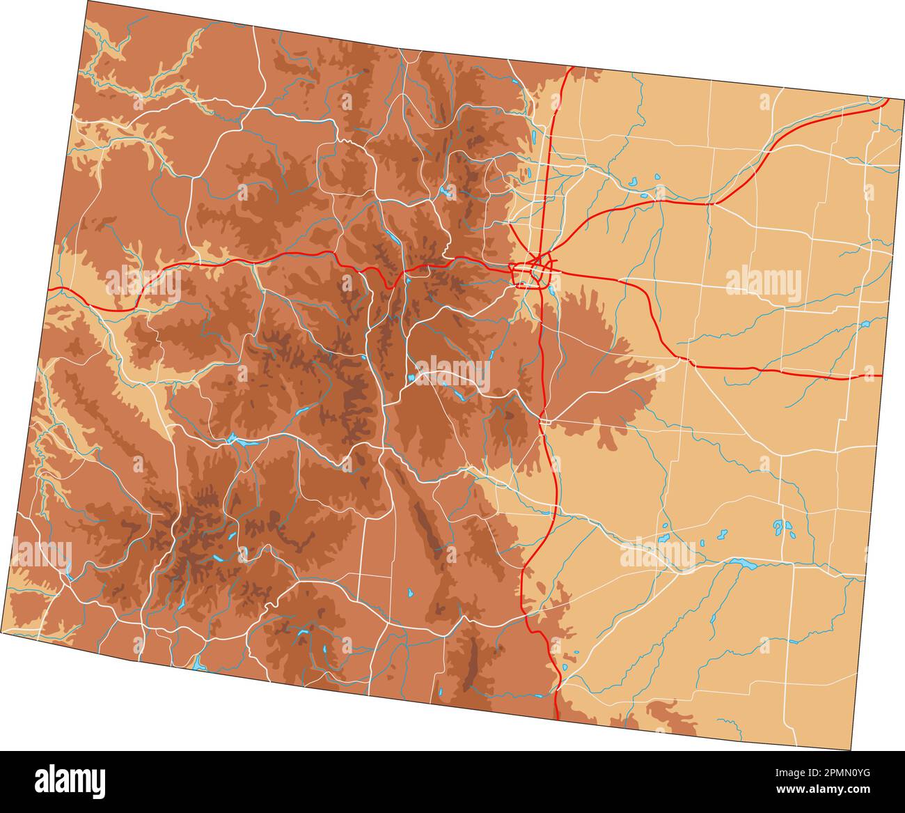 High detailed Colorado physical map. Stock Vectorhttps://www.alamy.com/image-license-details/?v=1https://www.alamy.com/high-detailed-colorado-physical-map-image546276292.html
RF2PMN0YG–High detailed Colorado physical map.
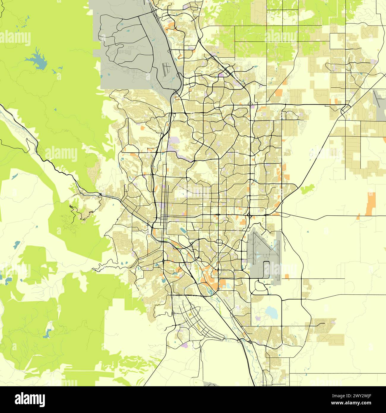 City map of Colorado Springs, Colorado, USA Stock Vectorhttps://www.alamy.com/image-license-details/?v=1https://www.alamy.com/city-map-of-colorado-springs-colorado-usa-image601812247.html
RF2WY2WJF–City map of Colorado Springs, Colorado, USA
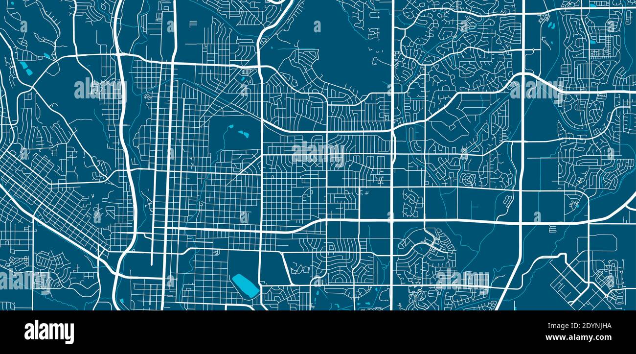 Vector map of Colorado Springs, USA, United States. Street map poster illustration. Colorado Springs map art. Stock Vectorhttps://www.alamy.com/image-license-details/?v=1https://www.alamy.com/vector-map-of-colorado-springs-usa-united-states-street-map-poster-illustration-colorado-springs-map-art-image395699398.html
RF2DYNJHA–Vector map of Colorado Springs, USA, United States. Street map poster illustration. Colorado Springs map art.
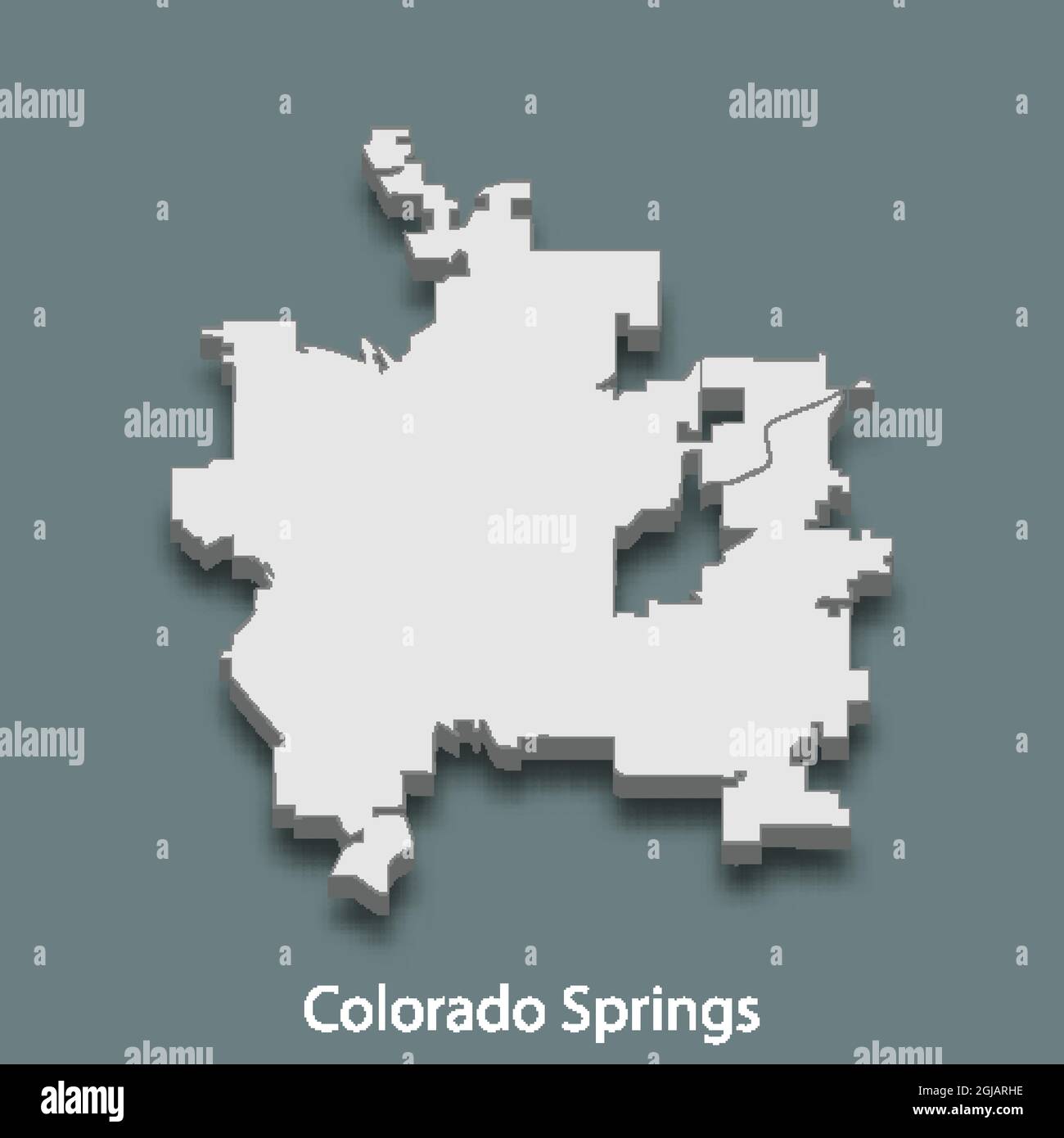 3d isometric map of Colorado Springs is a city of United States, vector illustration Stock Vectorhttps://www.alamy.com/image-license-details/?v=1https://www.alamy.com/3d-isometric-map-of-colorado-springs-is-a-city-of-united-states-vector-illustration-image441561050.html
RF2GJARHE–3d isometric map of Colorado Springs is a city of United States, vector illustration
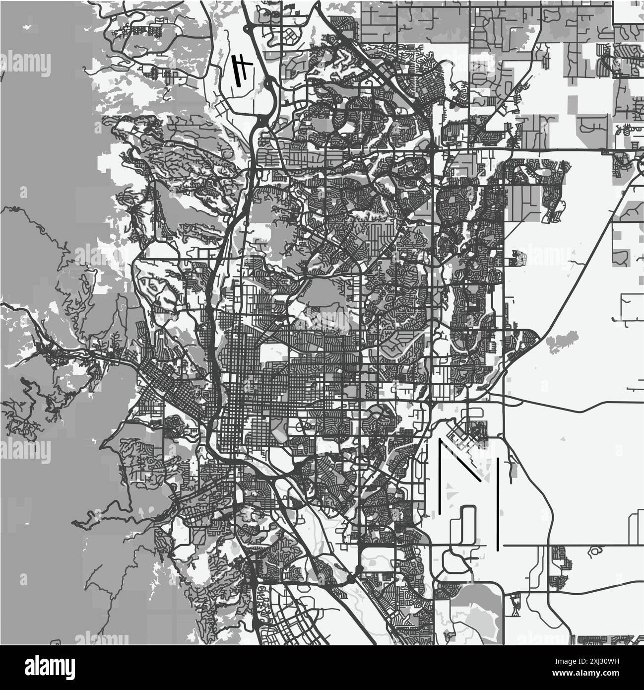 Map of Colorado Springs in Colorado in grayscale. Contains layered vector with roads water, parks, etc. Stock Vectorhttps://www.alamy.com/image-license-details/?v=1https://www.alamy.com/map-of-colorado-springs-in-colorado-in-grayscale-contains-layered-vector-with-roads-water-parks-etc-image613493261.html
RF2XJ30WH–Map of Colorado Springs in Colorado in grayscale. Contains layered vector with roads water, parks, etc.
 flag colorado Stock Vectorhttps://www.alamy.com/image-license-details/?v=1https://www.alamy.com/stock-photo-flag-colorado-146916548.html
RFJF0HFG–flag colorado
RF2JN0E3H–United States, Colorado Springs city skyline isolated vector illustration, icons
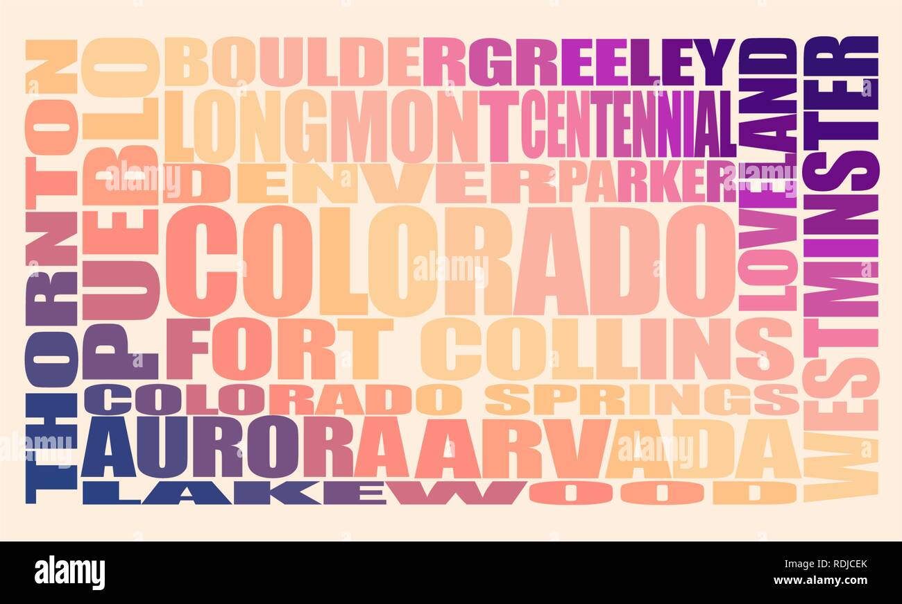 Colorado state cities Stock Vectorhttps://www.alamy.com/image-license-details/?v=1https://www.alamy.com/colorado-state-cities-image232130267.html
RFRDJCEK–Colorado state cities
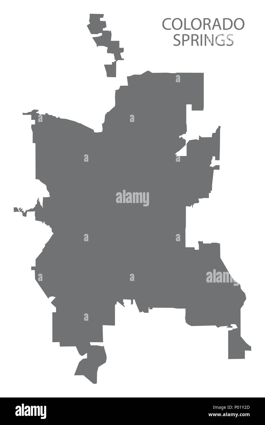 Colorado Springs CO city map grey illustration silhouette shape Stock Vectorhttps://www.alamy.com/image-license-details/?v=1https://www.alamy.com/colorado-springs-co-city-map-grey-illustration-silhouette-shape-image206567605.html
RFP01Y2D–Colorado Springs CO city map grey illustration silhouette shape
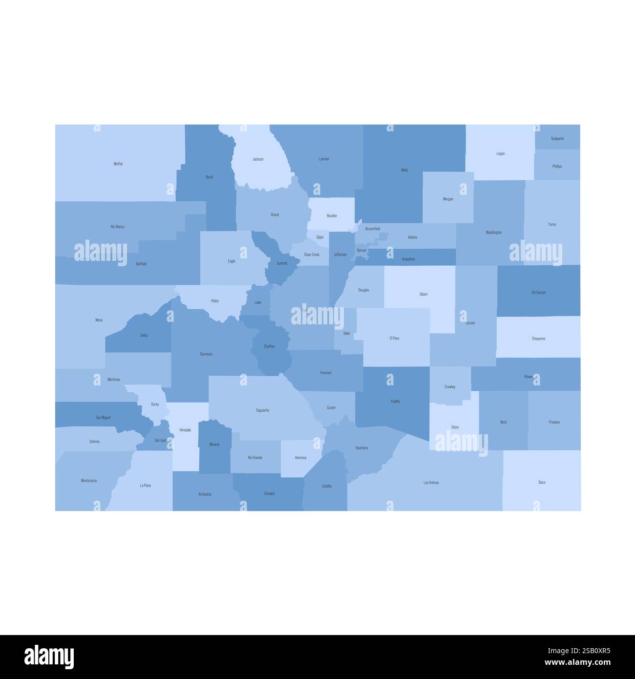 Colorado, CO - detailed political map of US state. Administrative map divided into counties. Blue map with county name labels. Vector illustration Stock Vectorhttps://www.alamy.com/image-license-details/?v=1https://www.alamy.com/colorado-co-detailed-political-map-of-us-state-administrative-map-divided-into-counties-blue-map-with-county-name-labels-vector-illustration-image643565865.html
RF2SB0XR5–Colorado, CO - detailed political map of US state. Administrative map divided into counties. Blue map with county name labels. Vector illustration
 Colorado Springs City (United States cities, United States of America, usa city) map vector illustration, scribble sketch City of Colorado Springs map Stock Vectorhttps://www.alamy.com/image-license-details/?v=1https://www.alamy.com/colorado-springs-city-united-states-cities-united-states-of-america-usa-city-map-vector-illustration-scribble-sketch-city-of-colorado-springs-map-image234499423.html
RFRHEABB–Colorado Springs City (United States cities, United States of America, usa city) map vector illustration, scribble sketch City of Colorado Springs map
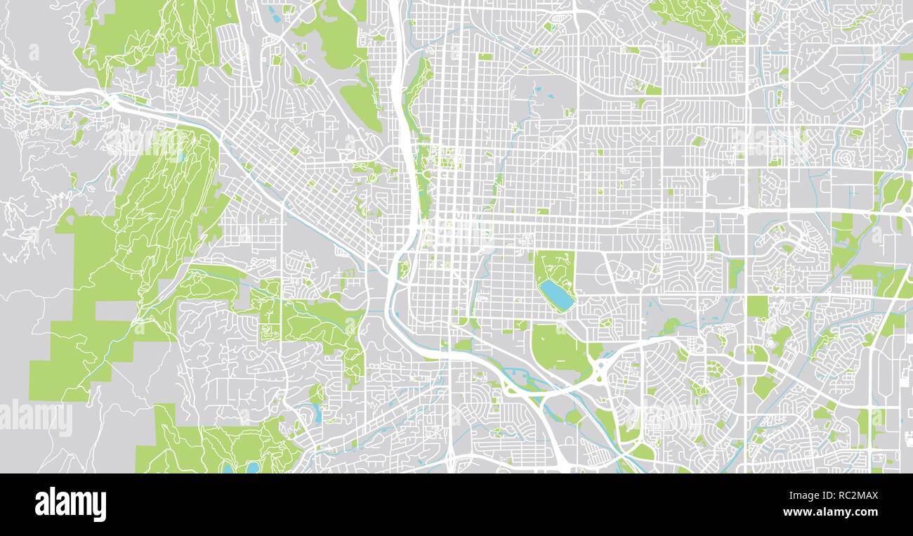 Urban vector city map of Colorado Springs, Colorado, United States of America Stock Vectorhttps://www.alamy.com/image-license-details/?v=1https://www.alamy.com/urban-vector-city-map-of-colorado-springs-colorado-united-states-of-america-image231170546.html
RFRC2MAX–Urban vector city map of Colorado Springs, Colorado, United States of America
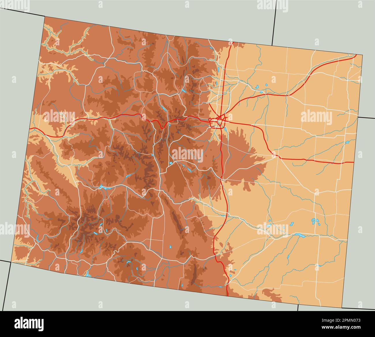 High detailed Colorado physical map. Stock Vectorhttps://www.alamy.com/image-license-details/?v=1https://www.alamy.com/high-detailed-colorado-physical-map-image546275719.html
RF2PMN073–High detailed Colorado physical map.
 Durham, North Carolina, USA artistic blueprint map poster Stock Vectorhttps://www.alamy.com/image-license-details/?v=1https://www.alamy.com/durham-north-carolina-usa-artistic-blueprint-map-poster-image614987549.html
RF2XMF2W1–Durham, North Carolina, USA artistic blueprint map poster
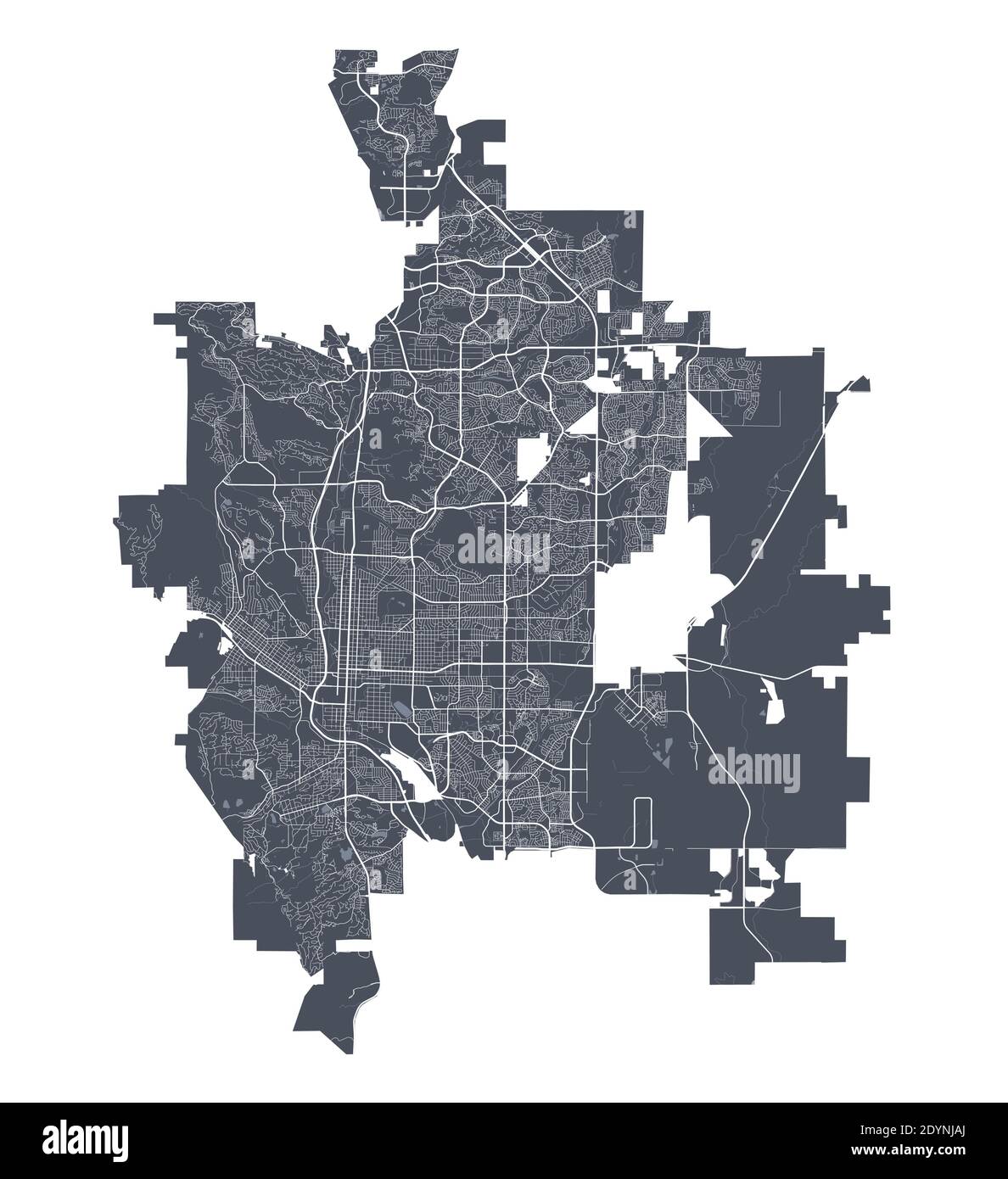 Colorado Springs map. Detailed vector map of Colorado Springs city administrative area. Cityscape poster metropolitan aria view. Dark land with white Stock Vectorhttps://www.alamy.com/image-license-details/?v=1https://www.alamy.com/colorado-springs-map-detailed-vector-map-of-colorado-springs-city-administrative-area-cityscape-poster-metropolitan-aria-view-dark-land-with-white-image395699210.html
RF2DYNJAJ–Colorado Springs map. Detailed vector map of Colorado Springs city administrative area. Cityscape poster metropolitan aria view. Dark land with white
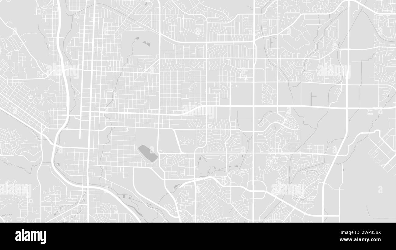 Colorado Springs map, USA. Grayscale color city map, vector streetmap with roads and rivers. Stock Vectorhttps://www.alamy.com/image-license-details/?v=1https://www.alamy.com/colorado-springs-map-usa-grayscale-color-city-map-vector-streetmap-with-roads-and-rivers-image598745054.html
RF2WP35BX–Colorado Springs map, USA. Grayscale color city map, vector streetmap with roads and rivers.
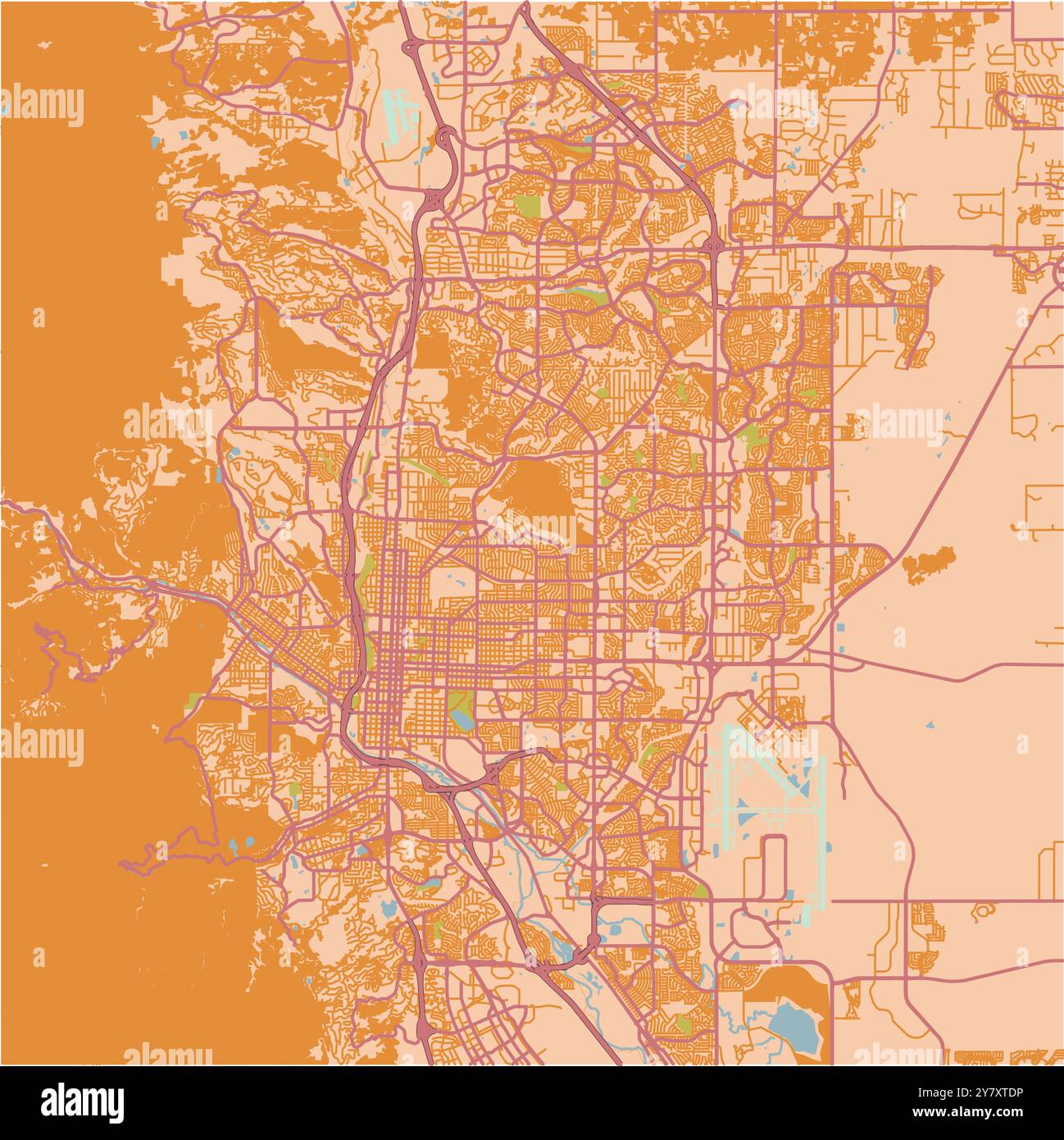 Map of Colorado Springs in Colorado in a sandy theme. Contains layered vector with roads water, parks, etc. Stock Vectorhttps://www.alamy.com/image-license-details/?v=1https://www.alamy.com/map-of-colorado-springs-in-colorado-in-a-sandy-theme-contains-layered-vector-with-roads-water-parks-etc-image624465794.html
RF2Y7XTDP–Map of Colorado Springs in Colorado in a sandy theme. Contains layered vector with roads water, parks, etc.
 button colorado Stock Vectorhttps://www.alamy.com/image-license-details/?v=1https://www.alamy.com/stock-photo-button-colorado-146940823.html
RFJF1MEF–button colorado
 United States, Colorado Springs, Colorado travel landmark vector illustration Stock Vectorhttps://www.alamy.com/image-license-details/?v=1https://www.alamy.com/united-states-colorado-springs-colorado-travel-landmark-vector-illustration-image544876914.html
RF2PJD81P–United States, Colorado Springs, Colorado travel landmark vector illustration
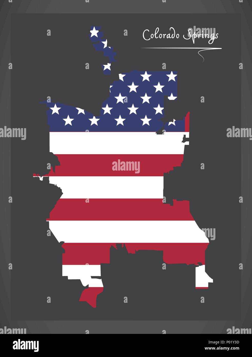 Colorado Springs CO map with American national flag illustration Stock Vectorhttps://www.alamy.com/image-license-details/?v=1https://www.alamy.com/colorado-springs-co-map-with-american-national-flag-illustration-image206567633.html
RFP01Y3D–Colorado Springs CO map with American national flag illustration
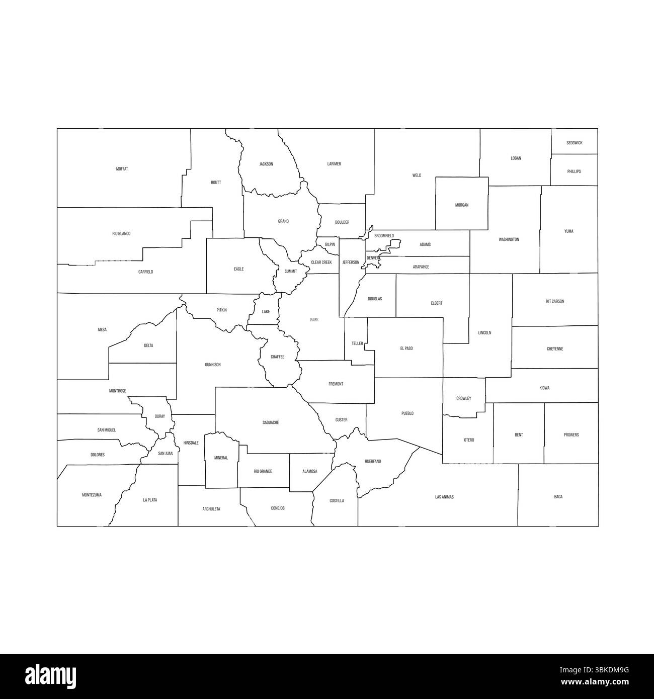 Colorado, CO - detailed political map of US state. Administrative map divided into counties. Thin black outline map with county name labels. Vector illustration Stock Vectorhttps://www.alamy.com/image-license-details/?v=1https://www.alamy.com/colorado-co-detailed-political-map-of-us-state-administrative-map-divided-into-counties-thin-black-outline-map-with-county-name-labels-vector-illustration-image683184140.html
RF3BKDM9G–Colorado, CO - detailed political map of US state. Administrative map divided into counties. Thin black outline map with county name labels. Vector illustration
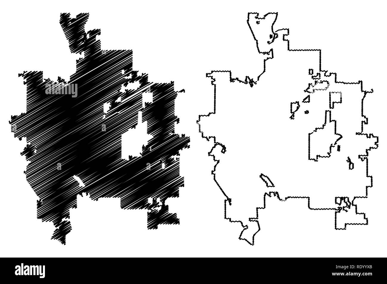 Colorado Springs City (United States cities, United States of America, usa city) map vector illustration, scribble sketch City of Colorado Springs map Stock Vectorhttps://www.alamy.com/image-license-details/?v=1https://www.alamy.com/colorado-springs-city-united-states-cities-united-states-of-america-usa-city-map-vector-illustration-scribble-sketch-city-of-colorado-springs-map-image232339923.html
RFRDYYXB–Colorado Springs City (United States cities, United States of America, usa city) map vector illustration, scribble sketch City of Colorado Springs map
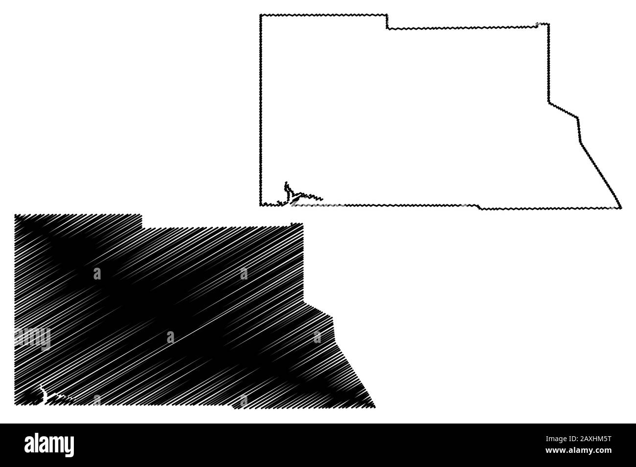 Archuleta County, Colorado (U.S. county, United States of America,USA, U.S., US) map vector illustration, scribble sketch Archuleta map Stock Vectorhttps://www.alamy.com/image-license-details/?v=1https://www.alamy.com/archuleta-county-colorado-us-county-united-states-of-americausa-us-us-map-vector-illustration-scribble-sketch-archuleta-map-image343367076.html
RF2AXHM5T–Archuleta County, Colorado (U.S. county, United States of America,USA, U.S., US) map vector illustration, scribble sketch Archuleta map
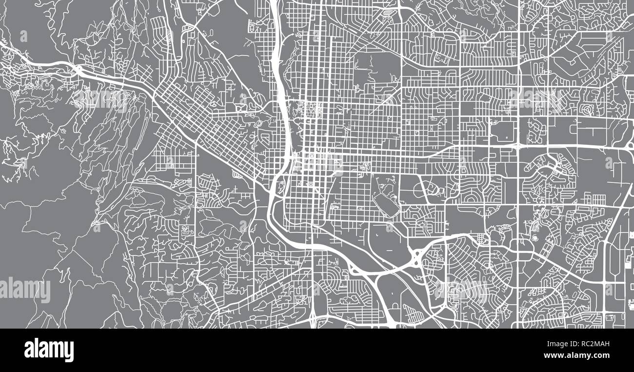 Urban vector city map of Colorado Springs, Colorado, United States of America Stock Vectorhttps://www.alamy.com/image-license-details/?v=1https://www.alamy.com/urban-vector-city-map-of-colorado-springs-colorado-united-states-of-america-image231170537.html
RFRC2MAH–Urban vector city map of Colorado Springs, Colorado, United States of America
 Highly Detailed Colorado Blind Map. Stock Vectorhttps://www.alamy.com/image-license-details/?v=1https://www.alamy.com/highly-detailed-colorado-blind-map-image546275641.html
RF2PMN049–Highly Detailed Colorado Blind Map.
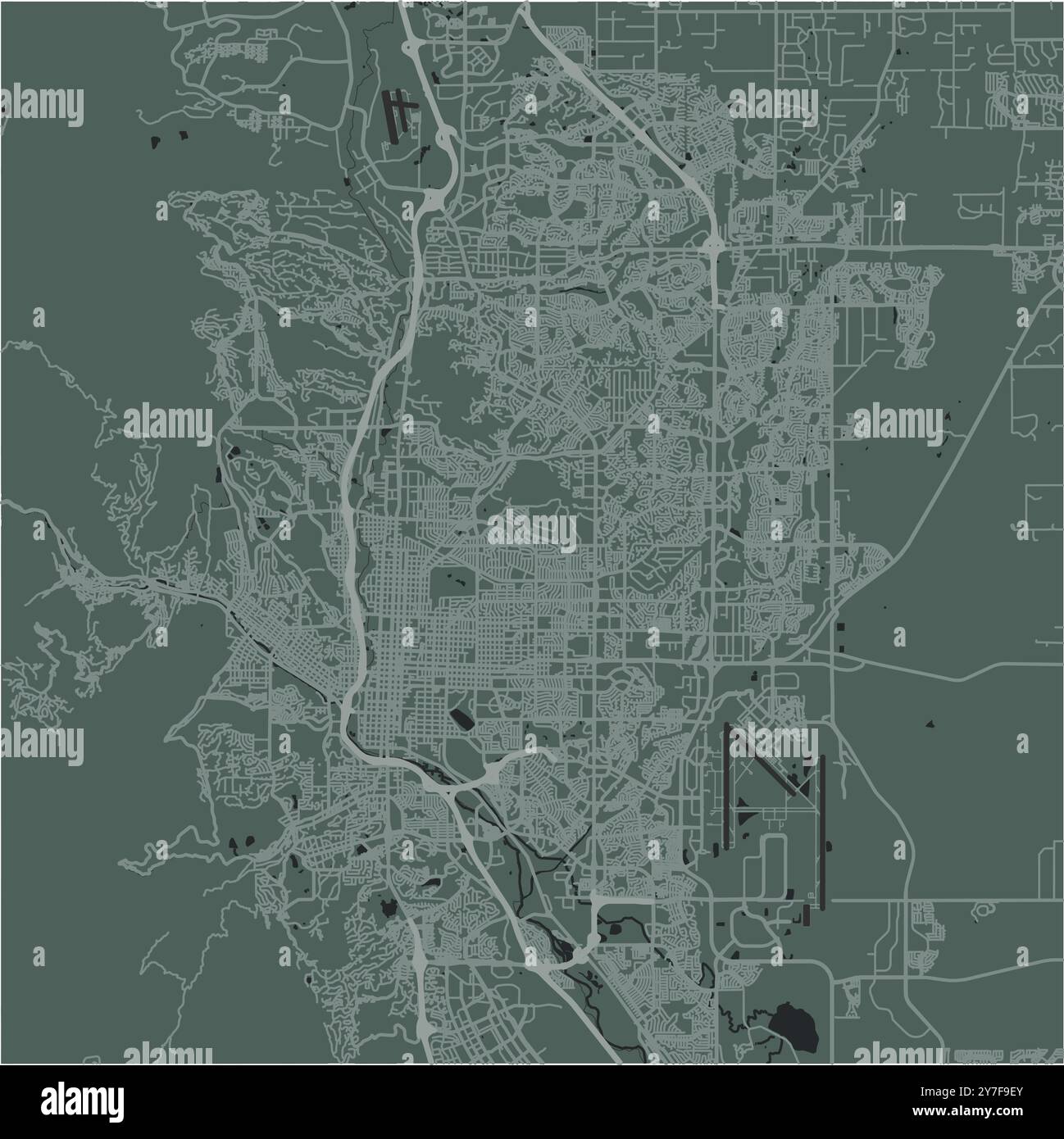 Map of Colorado Springs in Colorado in a smooth dark style. Contains layered vector with roads water, parks, etc. Stock Vectorhttps://www.alamy.com/image-license-details/?v=1https://www.alamy.com/map-of-colorado-springs-in-colorado-in-a-smooth-dark-style-contains-layered-vector-with-roads-water-parks-etc-image624212595.html
RF2Y7F9EY–Map of Colorado Springs in Colorado in a smooth dark style. Contains layered vector with roads water, parks, etc.
 United States, Colorado Springs, Colorado travel landmark vector illustration Stock Vectorhttps://www.alamy.com/image-license-details/?v=1https://www.alamy.com/united-states-colorado-springs-colorado-travel-landmark-vector-illustration-image544870194.html
RF2PJCYDP–United States, Colorado Springs, Colorado travel landmark vector illustration
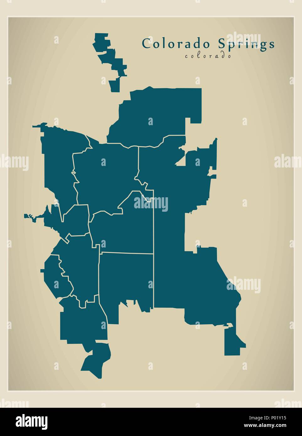 Modern City Map - Colorado Springs CO city of the USA with neighborhoods Stock Vectorhttps://www.alamy.com/image-license-details/?v=1https://www.alamy.com/modern-city-map-colorado-springs-co-city-of-the-usa-with-neighborhoods-image206567569.html
RFP01Y15–Modern City Map - Colorado Springs CO city of the USA with neighborhoods
 Routt County, Colorado (U.S. county, United States of America,USA, U.S., US) map vector illustration, scribble sketch Routt map Stock Vectorhttps://www.alamy.com/image-license-details/?v=1https://www.alamy.com/routt-county-colorado-us-county-united-states-of-americausa-us-us-map-vector-illustration-scribble-sketch-routt-map-image345165383.html
RF2B1FHY3–Routt County, Colorado (U.S. county, United States of America,USA, U.S., US) map vector illustration, scribble sketch Routt map
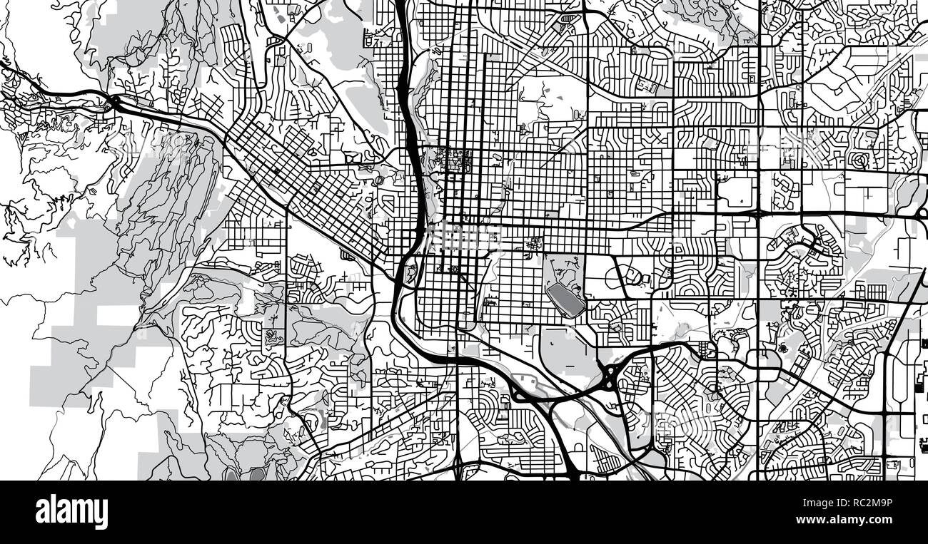 Urban vector city map of Colorado Springs, Colorado, United States of America Stock Vectorhttps://www.alamy.com/image-license-details/?v=1https://www.alamy.com/urban-vector-city-map-of-colorado-springs-colorado-united-states-of-america-image231170514.html
RFRC2M9P–Urban vector city map of Colorado Springs, Colorado, United States of America
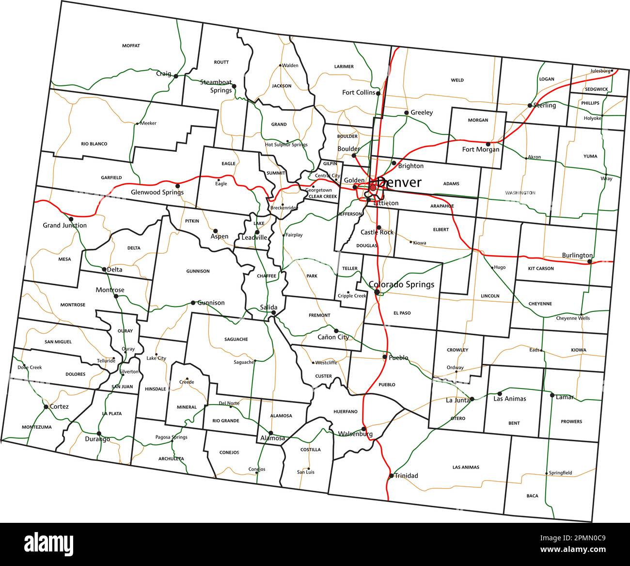 Colorado road and highway map. Vector illustration. Stock Vectorhttps://www.alamy.com/image-license-details/?v=1https://www.alamy.com/colorado-road-and-highway-map-vector-illustration-image546275865.html
RF2PMN0C9–Colorado road and highway map. Vector illustration.
RFMPKDK6–Colorado Springs silhouette skyline. USA - Colorado Springs vector city, american linear architecture. Colorado Springs travel illustration, outline landmarks. USA flat icons, american line banner
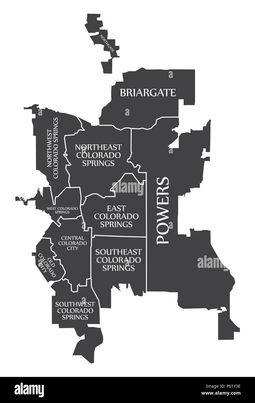 Colorado Springs CO city map USA labelled black illustration Stock Vectorhttps://www.alamy.com/image-license-details/?v=1https://www.alamy.com/colorado-springs-co-city-map-usa-labelled-black-illustration-image206567634.html
RFP01Y3E–Colorado Springs CO city map USA labelled black illustration
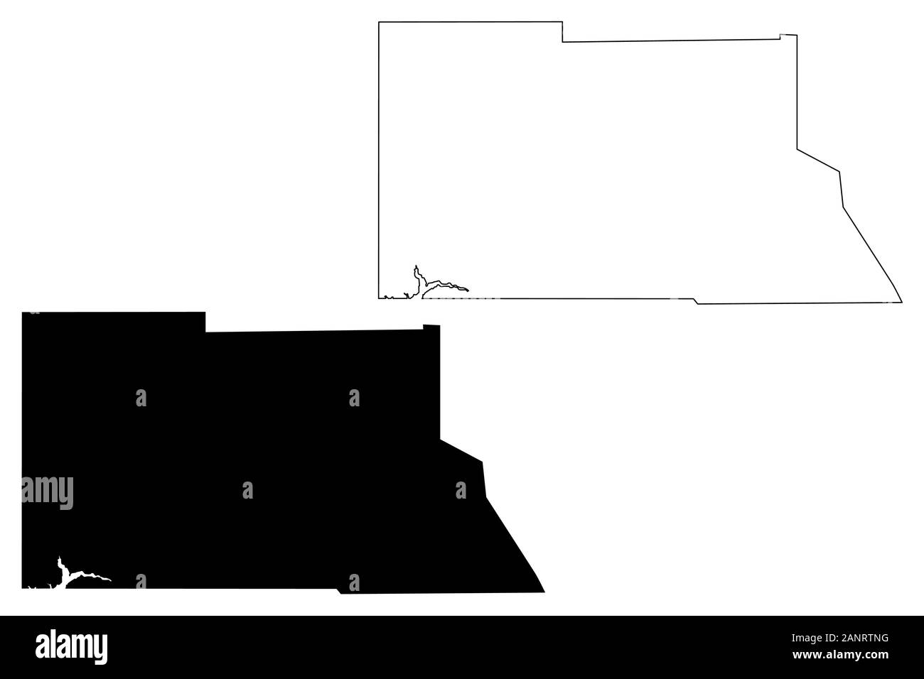 Archuleta County, Colorado (U.S. county, United States of America,USA, U.S., US) map vector illustration, scribble sketch Archuleta map Stock Vectorhttps://www.alamy.com/image-license-details/?v=1https://www.alamy.com/archuleta-county-colorado-us-county-united-states-of-americausa-us-us-map-vector-illustration-scribble-sketch-archuleta-map-image340429084.html
RF2ANRTNG–Archuleta County, Colorado (U.S. county, United States of America,USA, U.S., US) map vector illustration, scribble sketch Archuleta map
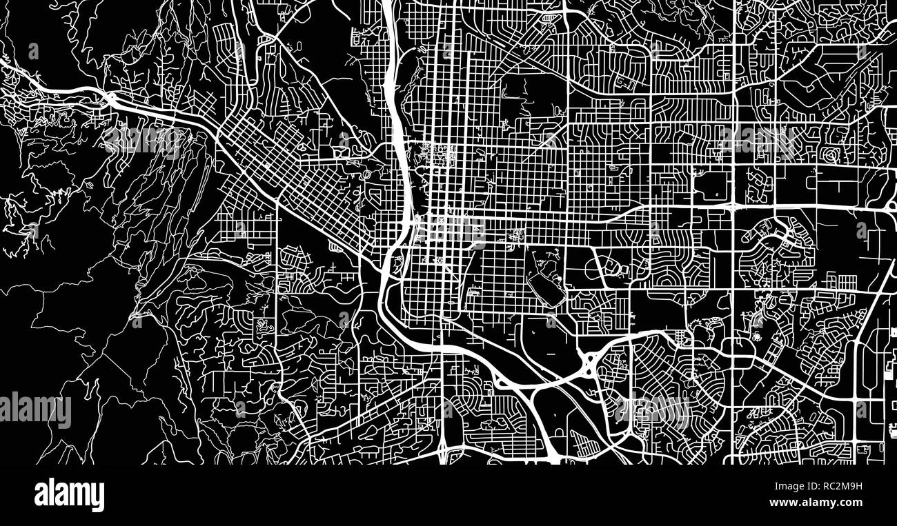 Urban vector city map of Colorado Springs, Colorado, United States of America Stock Vectorhttps://www.alamy.com/image-license-details/?v=1https://www.alamy.com/urban-vector-city-map-of-colorado-springs-colorado-united-states-of-america-image231170509.html
RFRC2M9H–Urban vector city map of Colorado Springs, Colorado, United States of America
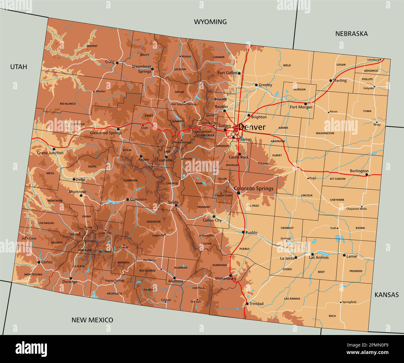 High detailed Colorado physical map with labeling. Stock Vectorhttps://www.alamy.com/image-license-details/?v=1https://www.alamy.com/high-detailed-colorado-physical-map-with-labeling-image546275949.html
RF2PMN0F9–High detailed Colorado physical map with labeling.
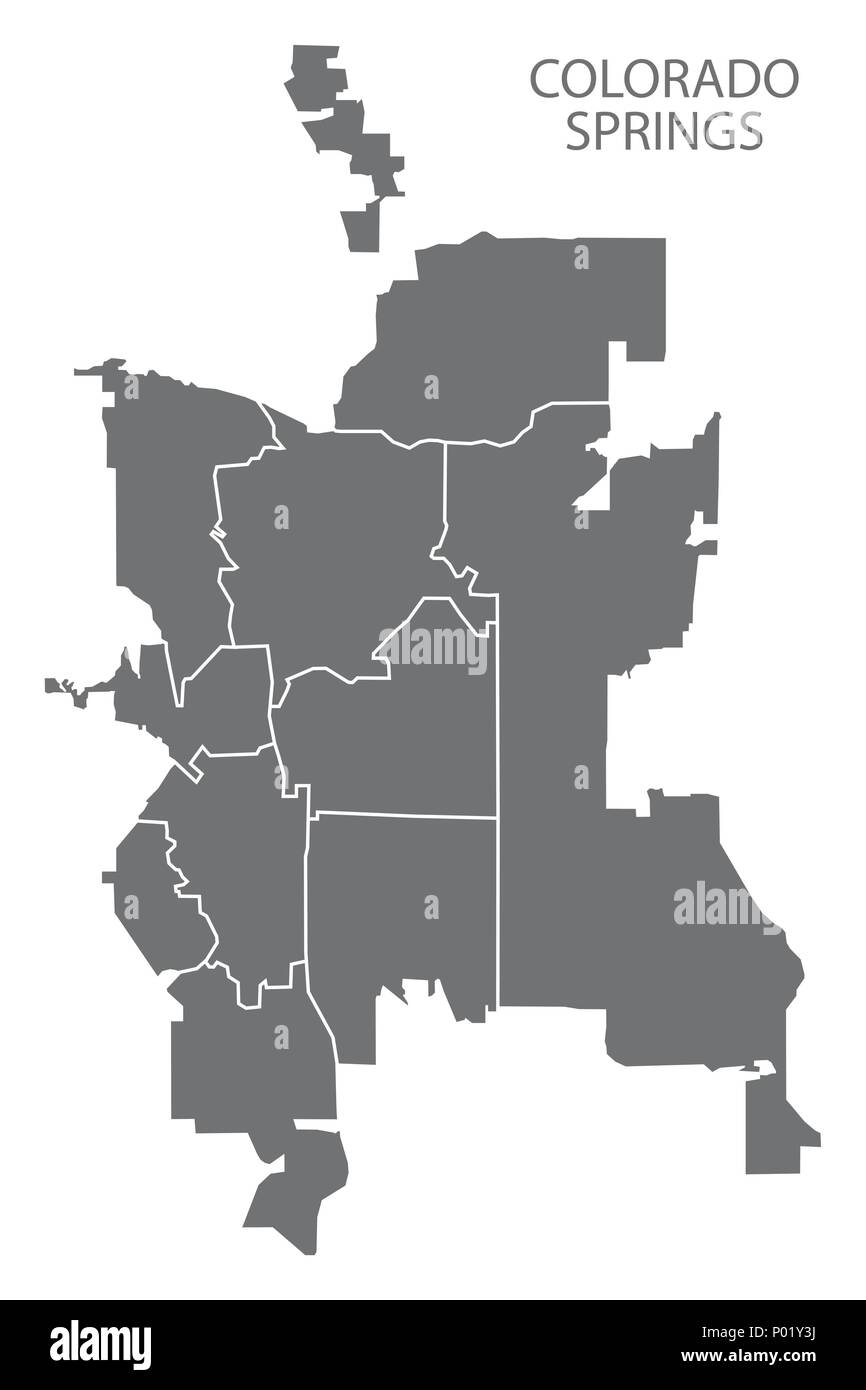 Colorado Springs CO city map with neighborhoods grey illustration silhouette shape Stock Vectorhttps://www.alamy.com/image-license-details/?v=1https://www.alamy.com/colorado-springs-co-city-map-with-neighborhoods-grey-illustration-silhouette-shape-image206567638.html
RFP01Y3J–Colorado Springs CO city map with neighborhoods grey illustration silhouette shape
 Archuleta County, Colorado (U.S. county, United States of America,USA, U.S., US) map vector illustration, scribble sketch Archuleta map Stock Vectorhttps://www.alamy.com/image-license-details/?v=1https://www.alamy.com/archuleta-county-colorado-us-county-united-states-of-americausa-us-us-map-vector-illustration-scribble-sketch-archuleta-map-image344935431.html
RF2B154JF–Archuleta County, Colorado (U.S. county, United States of America,USA, U.S., US) map vector illustration, scribble sketch Archuleta map
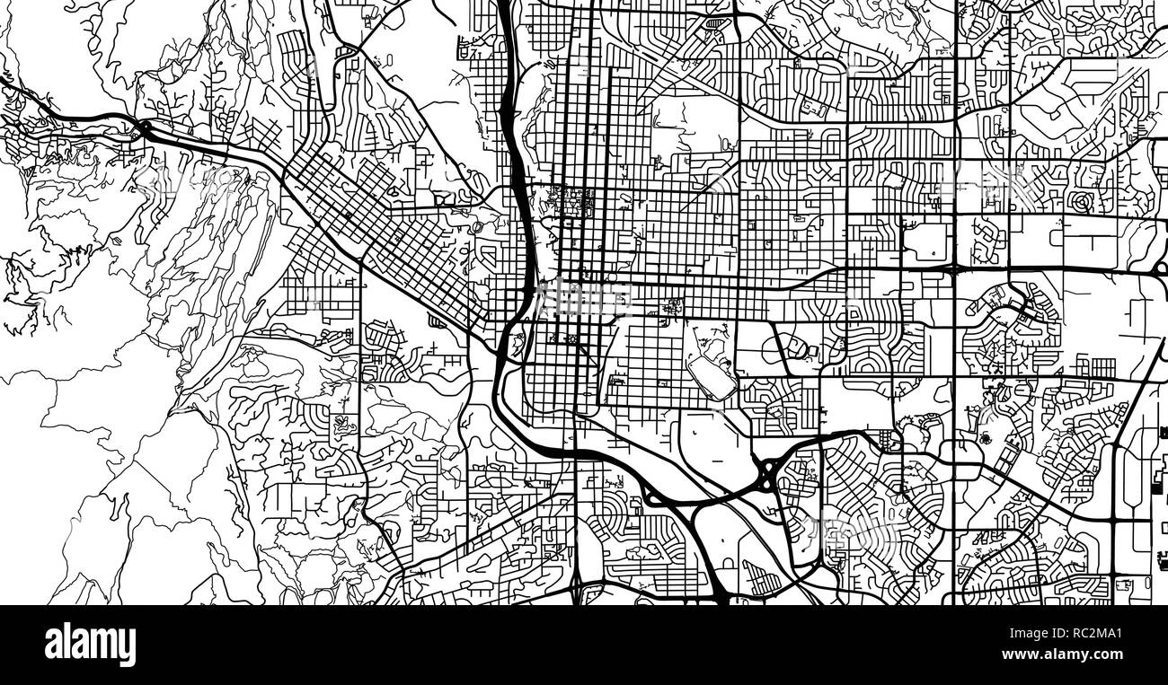 Urban vector city map of Colorado Springs, Colorado, United States of America Stock Vectorhttps://www.alamy.com/image-license-details/?v=1https://www.alamy.com/urban-vector-city-map-of-colorado-springs-colorado-united-states-of-america-image231170521.html
RFRC2MA1–Urban vector city map of Colorado Springs, Colorado, United States of America
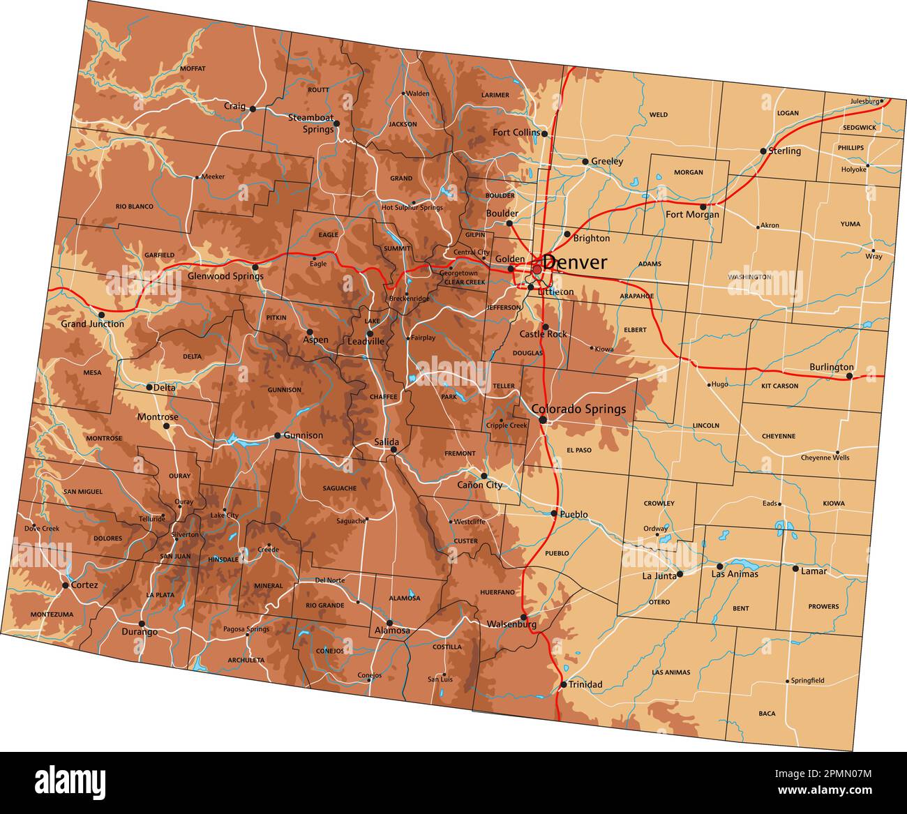 High detailed Colorado physical map with labeling. Stock Vectorhttps://www.alamy.com/image-license-details/?v=1https://www.alamy.com/high-detailed-colorado-physical-map-with-labeling-image546275736.html
RF2PMN07M–High detailed Colorado physical map with labeling.
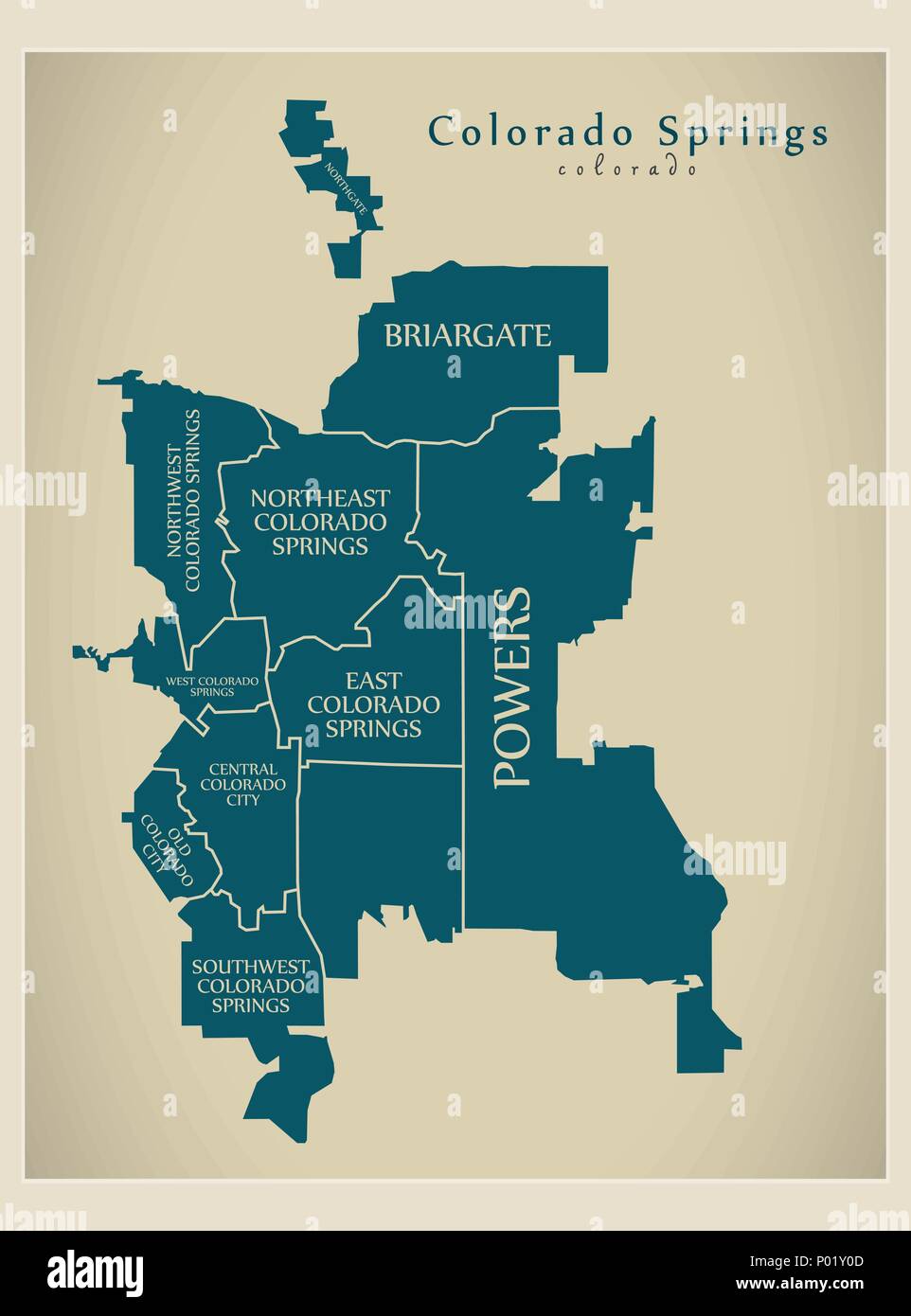 Modern City Map - Colorado Springs CO city of the USA with neighborhoods and titles Stock Vectorhttps://www.alamy.com/image-license-details/?v=1https://www.alamy.com/modern-city-map-colorado-springs-co-city-of-the-usa-with-neighborhoods-and-titles-image206567549.html
RFP01Y0D–Modern City Map - Colorado Springs CO city of the USA with neighborhoods and titles
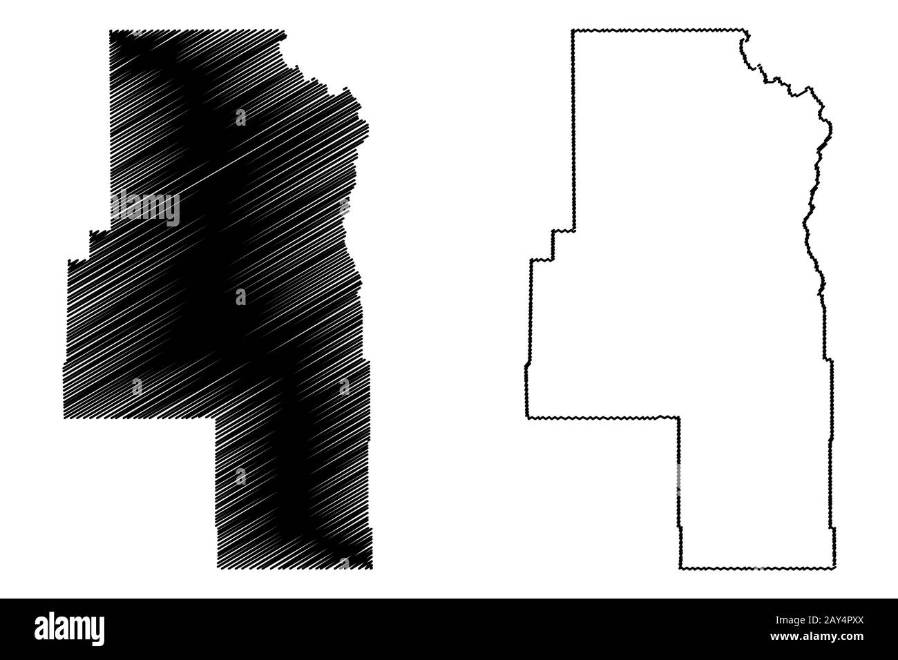 Routt County, Colorado (U.S. county, United States of America,USA, U.S., US) map vector illustration, scribble sketch Routt map Stock Vectorhttps://www.alamy.com/image-license-details/?v=1https://www.alamy.com/routt-county-colorado-us-county-united-states-of-americausa-us-us-map-vector-illustration-scribble-sketch-routt-map-image343698514.html
RF2AY4PXX–Routt County, Colorado (U.S. county, United States of America,USA, U.S., US) map vector illustration, scribble sketch Routt map
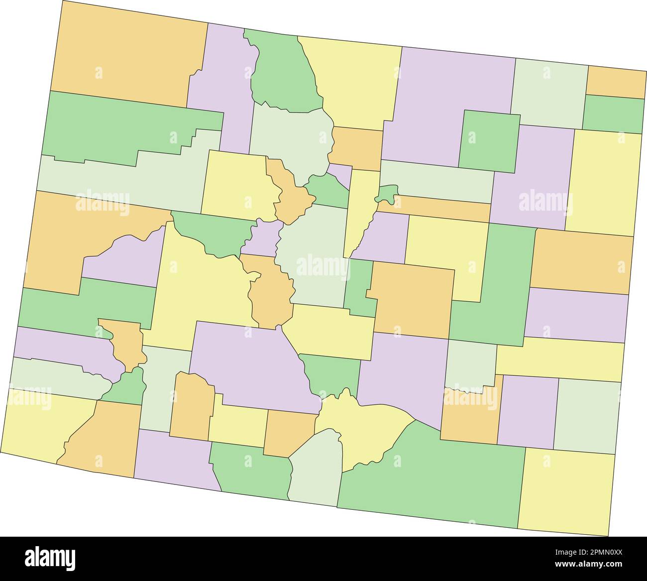 Colorado - Highly detailed editable political map. Stock Vectorhttps://www.alamy.com/image-license-details/?v=1https://www.alamy.com/colorado-highly-detailed-editable-political-map-image546276274.html
RF2PMN0XX–Colorado - Highly detailed editable political map.
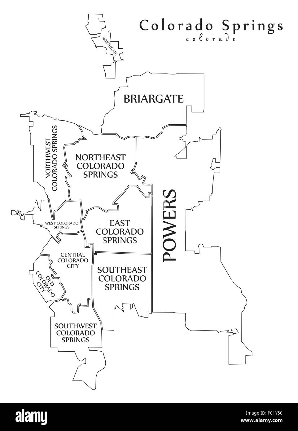 Modern City Map - Colorado Springs CO city of the USA with neighborhoods and titles outline map Stock Vectorhttps://www.alamy.com/image-license-details/?v=1https://www.alamy.com/modern-city-map-colorado-springs-co-city-of-the-usa-with-neighborhoods-and-titles-outline-map-image206567676.html
RFP01Y50–Modern City Map - Colorado Springs CO city of the USA with neighborhoods and titles outline map
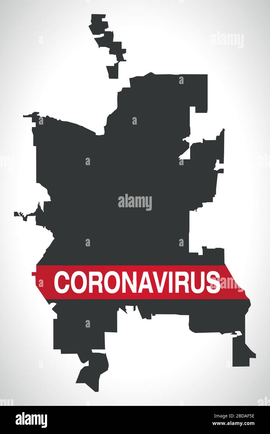 Colorado Springs CO city map with Coronavirus warning Stock Vectorhttps://www.alamy.com/image-license-details/?v=1https://www.alamy.com/colorado-springs-co-city-map-with-coronavirus-warning-image352429322.html
RF2BDAF5E–Colorado Springs CO city map with Coronavirus warning
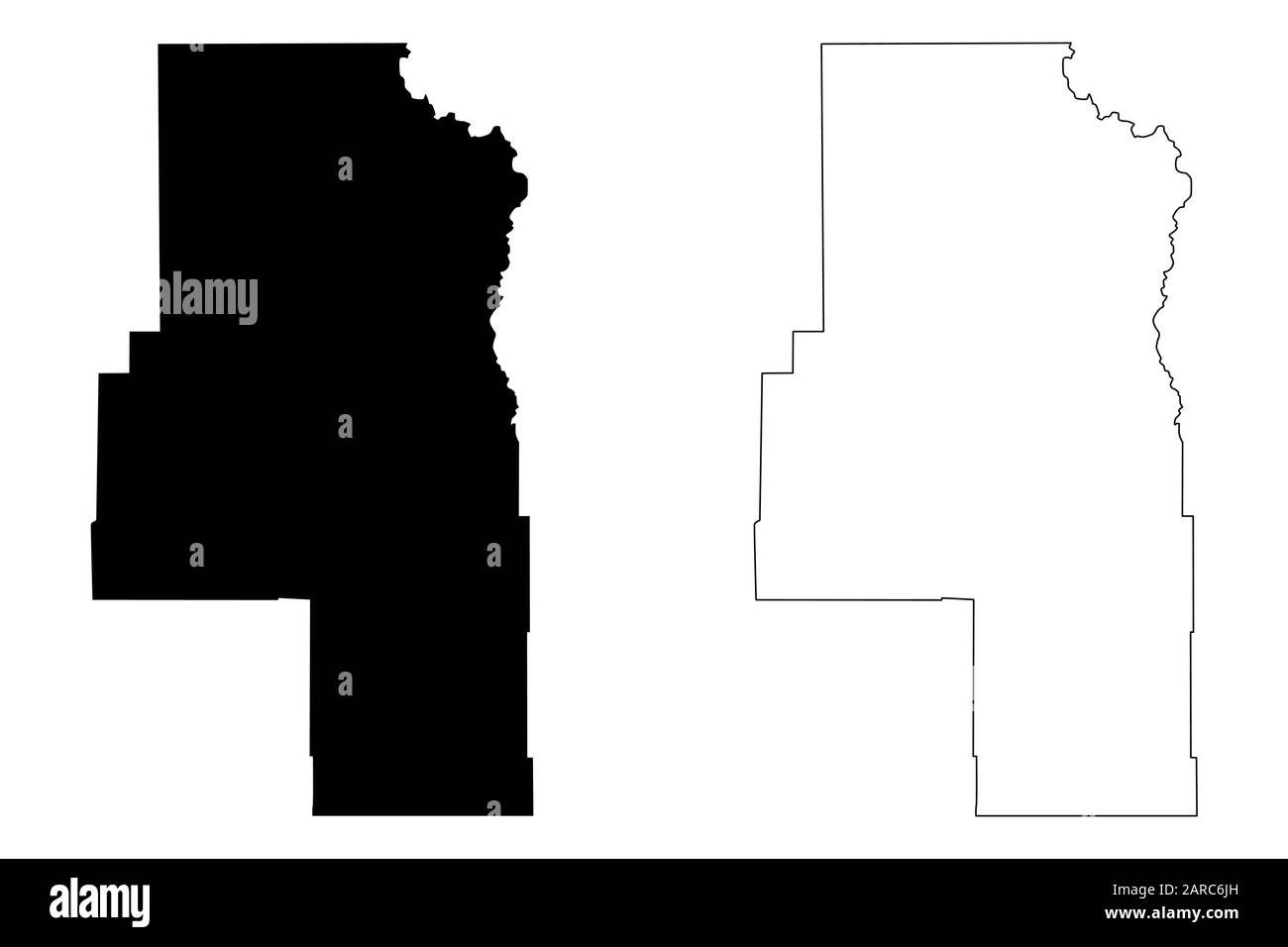 Routt County, Colorado (U.S. county, United States of America,USA, U.S., US) map vector illustration, scribble sketch Routt map Stock Vectorhttps://www.alamy.com/image-license-details/?v=1https://www.alamy.com/routt-county-colorado-us-county-united-states-of-americausa-us-us-map-vector-illustration-scribble-sketch-routt-map-image341402729.html
RF2ARC6JH–Routt County, Colorado (U.S. county, United States of America,USA, U.S., US) map vector illustration, scribble sketch Routt map
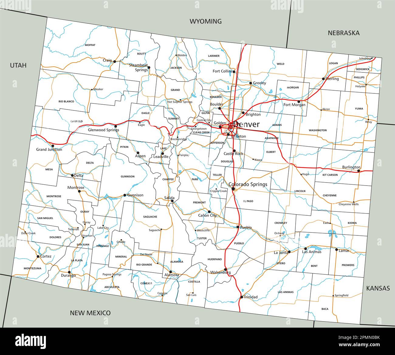 High detailed Colorado road map with labeling. Stock Vectorhttps://www.alamy.com/image-license-details/?v=1https://www.alamy.com/high-detailed-colorado-road-map-with-labeling-image546275847.html
RF2PMN0BK–High detailed Colorado road map with labeling.
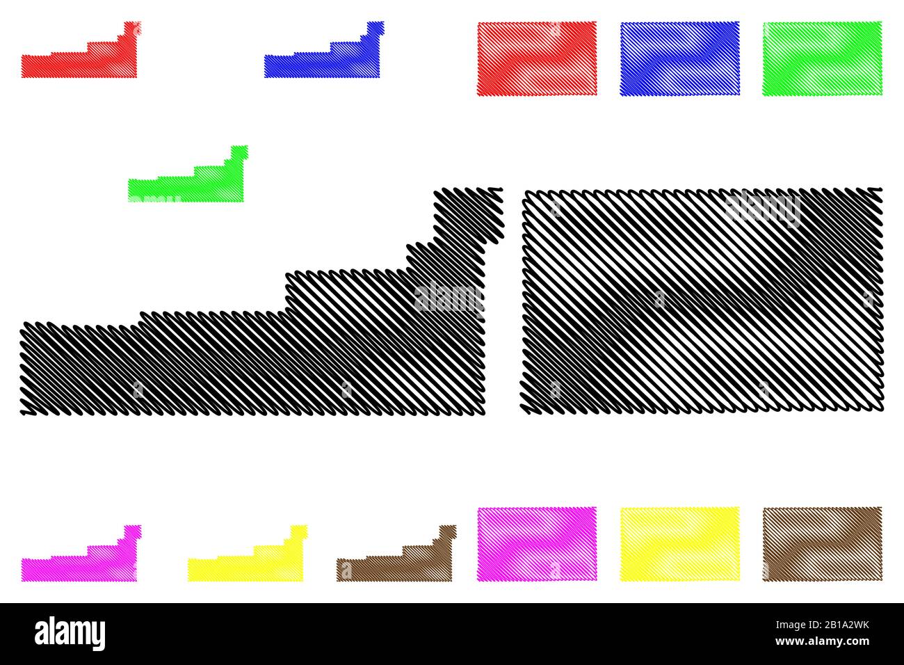 Garfield and Kit Carson County, Colorado (U.S. county, United States of America,USA, U.S., US) map vector illustration, scribble sketch Garfield and K Stock Vectorhttps://www.alamy.com/image-license-details/?v=1https://www.alamy.com/garfield-and-kit-carson-county-colorado-us-county-united-states-of-americausa-us-us-map-vector-illustration-scribble-sketch-garfield-and-k-image345043823.html
RF2B1A2WK–Garfield and Kit Carson County, Colorado (U.S. county, United States of America,USA, U.S., US) map vector illustration, scribble sketch Garfield and K
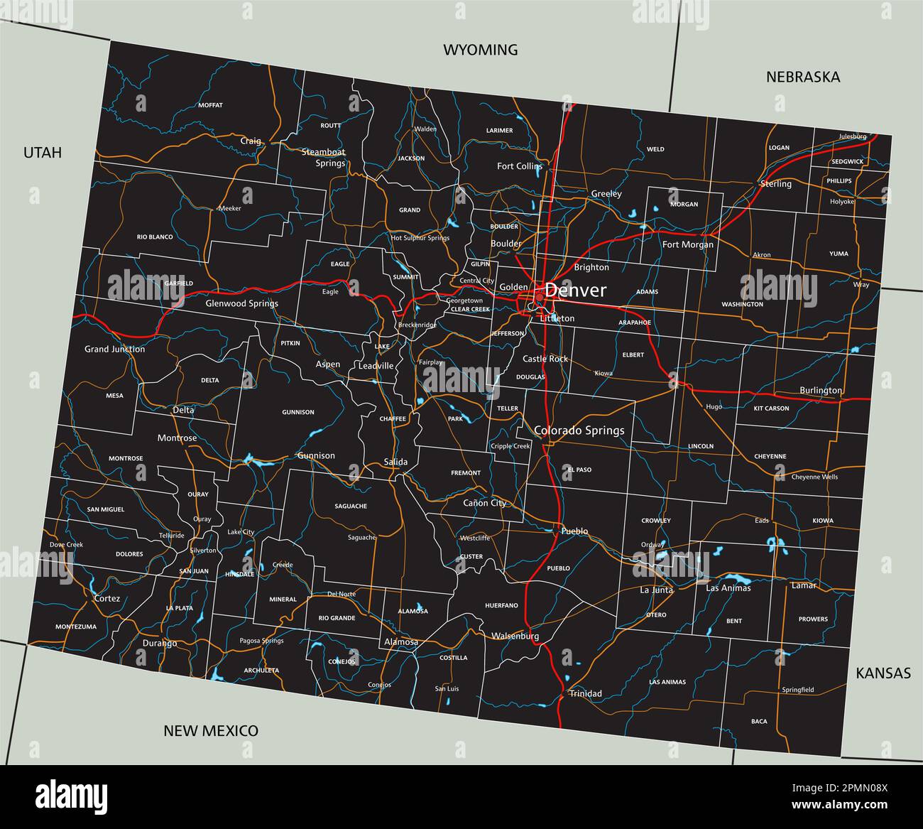 High detailed Colorado road map with labeling. Stock Vectorhttps://www.alamy.com/image-license-details/?v=1https://www.alamy.com/high-detailed-colorado-road-map-with-labeling-image546275770.html
RF2PMN08X–High detailed Colorado road map with labeling.
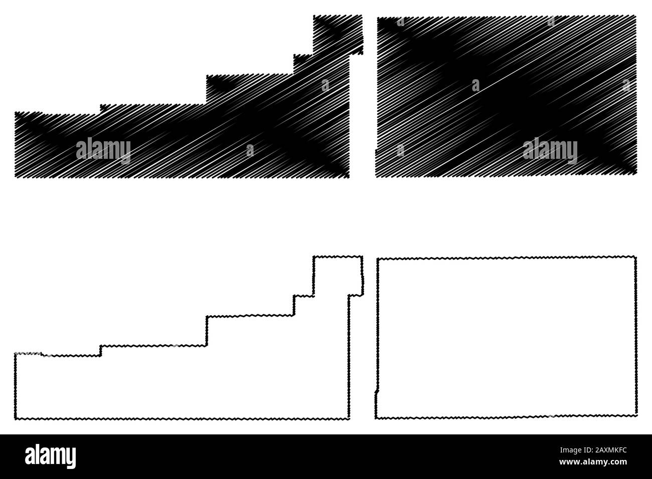 Garfield and Kit Carson County, Colorado (U.S. county, United States of America,USA, U.S., US) map vector illustration, scribble sketch Garfield and K Stock Vectorhttps://www.alamy.com/image-license-details/?v=1https://www.alamy.com/garfield-and-kit-carson-county-colorado-us-county-united-states-of-americausa-us-us-map-vector-illustration-scribble-sketch-garfield-and-k-image343432416.html
RF2AXMKFC–Garfield and Kit Carson County, Colorado (U.S. county, United States of America,USA, U.S., US) map vector illustration, scribble sketch Garfield and K
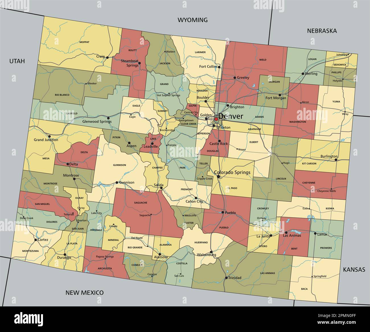 Colorado - Highly detailed editable political map with labeling. Stock Vectorhttps://www.alamy.com/image-license-details/?v=1https://www.alamy.com/colorado-highly-detailed-editable-political-map-with-labeling-image546275955.html
RF2PMN0FF–Colorado - Highly detailed editable political map with labeling.
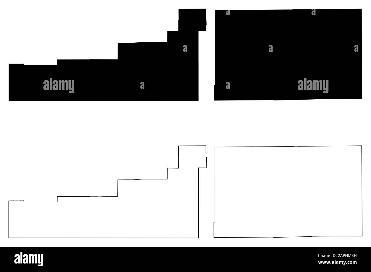 Garfield and Kit Carson County, Colorado (U.S. county, United States of America,USA, U.S., US) map vector illustration, scribble sketch Garfield and K Stock Vectorhttps://www.alamy.com/image-license-details/?v=1https://www.alamy.com/garfield-and-kit-carson-county-colorado-us-county-united-states-of-americausa-us-us-map-vector-illustration-scribble-sketch-garfield-and-k-image340908389.html
RF2APHM3H–Garfield and Kit Carson County, Colorado (U.S. county, United States of America,USA, U.S., US) map vector illustration, scribble sketch Garfield and K
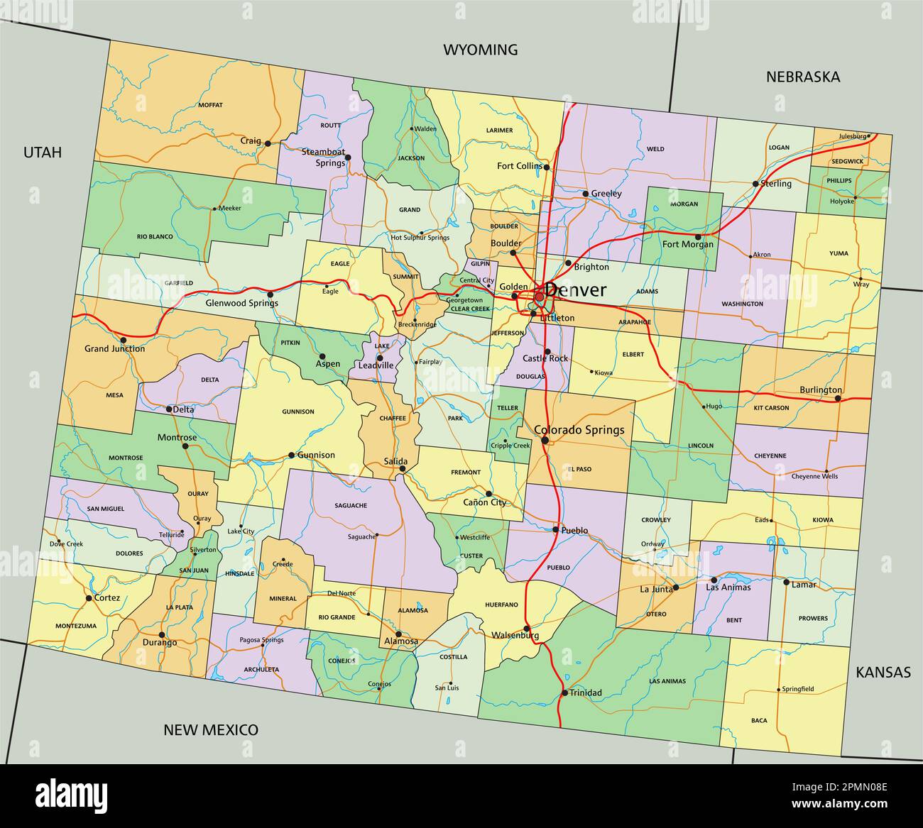 Colorado - Highly detailed editable political map with labeling. Stock Vectorhttps://www.alamy.com/image-license-details/?v=1https://www.alamy.com/colorado-highly-detailed-editable-political-map-with-labeling-image546275758.html
RF2PMN08E–Colorado - Highly detailed editable political map with labeling.