British empire map 1815 Black & White Stock Photos
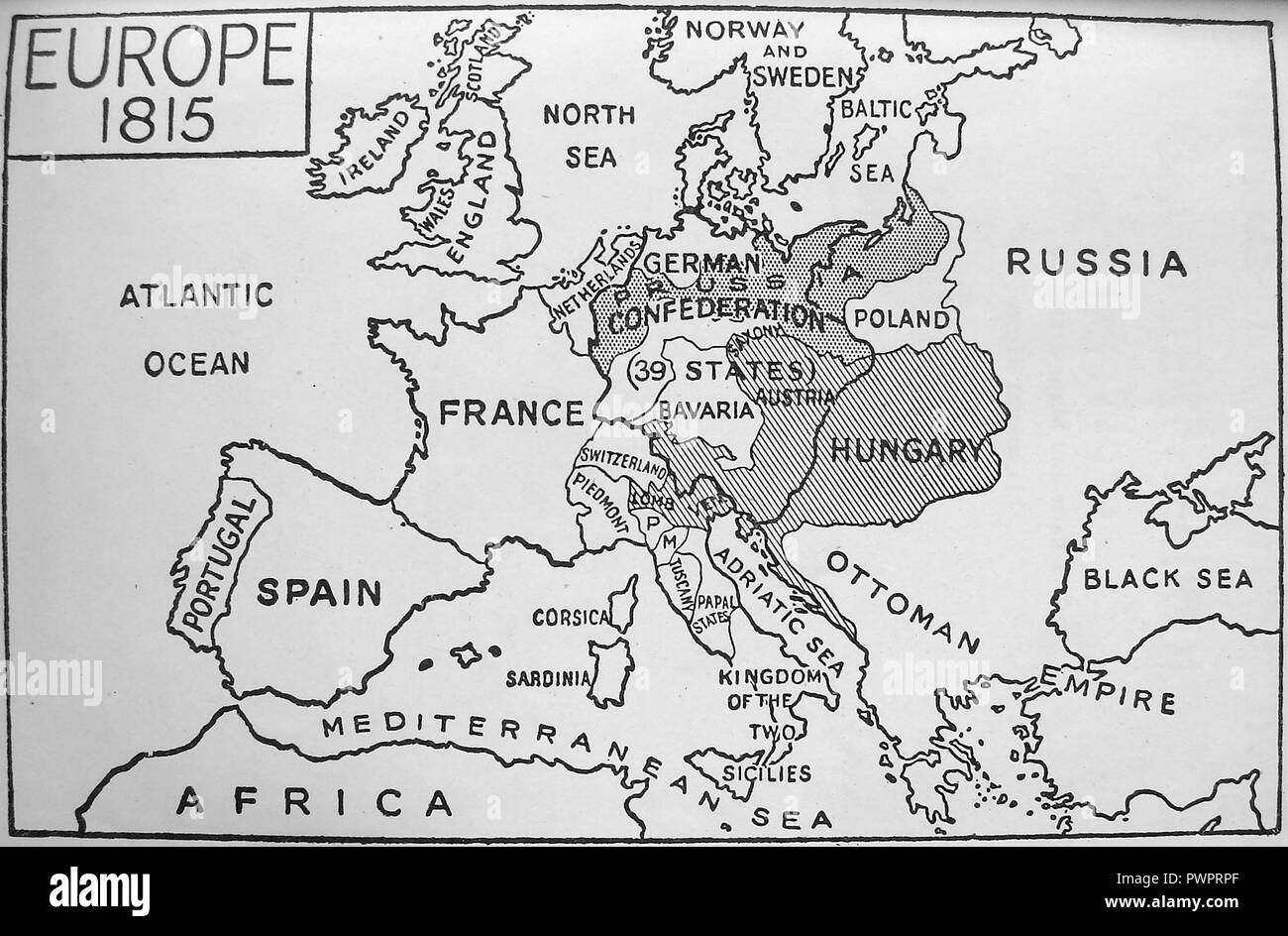
 An early printed map of Europe in 1815 Stock Photohttps://www.alamy.com/image-license-details/?v=1https://www.alamy.com/an-early-printed-map-of-europe-in-1815-image222392423.html
RMPWPRPF–An early printed map of Europe in 1815
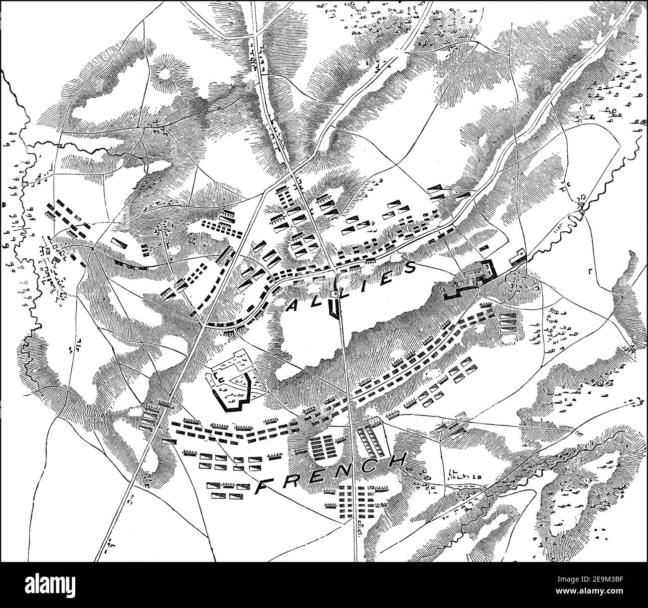
 Battle of Waterloo, 18 June 1815, near Waterloo in Belgium, From British Battles on Land and Sea, by James Grant Stock Photohttps://www.alamy.com/image-license-details/?v=1https://www.alamy.com/battle-of-waterloo-18-june-1815-near-waterloo-in-belgium-from-british-battles-on-land-and-sea-by-james-grant-image401812083.html
RM2E9M3BF–Battle of Waterloo, 18 June 1815, near Waterloo in Belgium, From British Battles on Land and Sea, by James Grant
