Quick filters:
Aerial wilderness view Stock Photos and Images
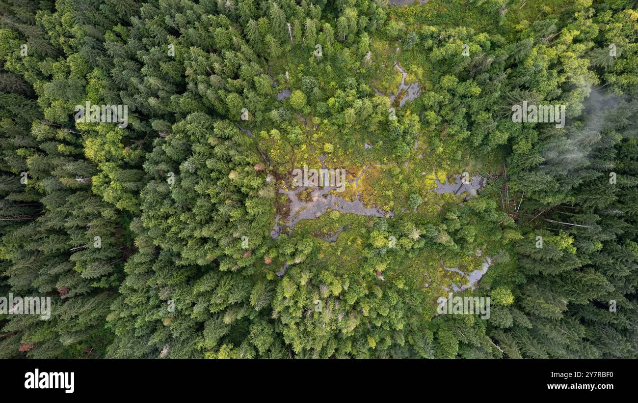 Aerial view of dense evergreen forest surrounding a swampy area with patches of greenery and water in a remote wilderness landscape. Stock Photohttps://www.alamy.com/image-license-details/?v=1https://www.alamy.com/aerial-view-of-dense-evergreen-forest-surrounding-a-swampy-area-with-patches-of-greenery-and-water-in-a-remote-wilderness-landscape-image624389780.html
RF2Y7RBF0–Aerial view of dense evergreen forest surrounding a swampy area with patches of greenery and water in a remote wilderness landscape.
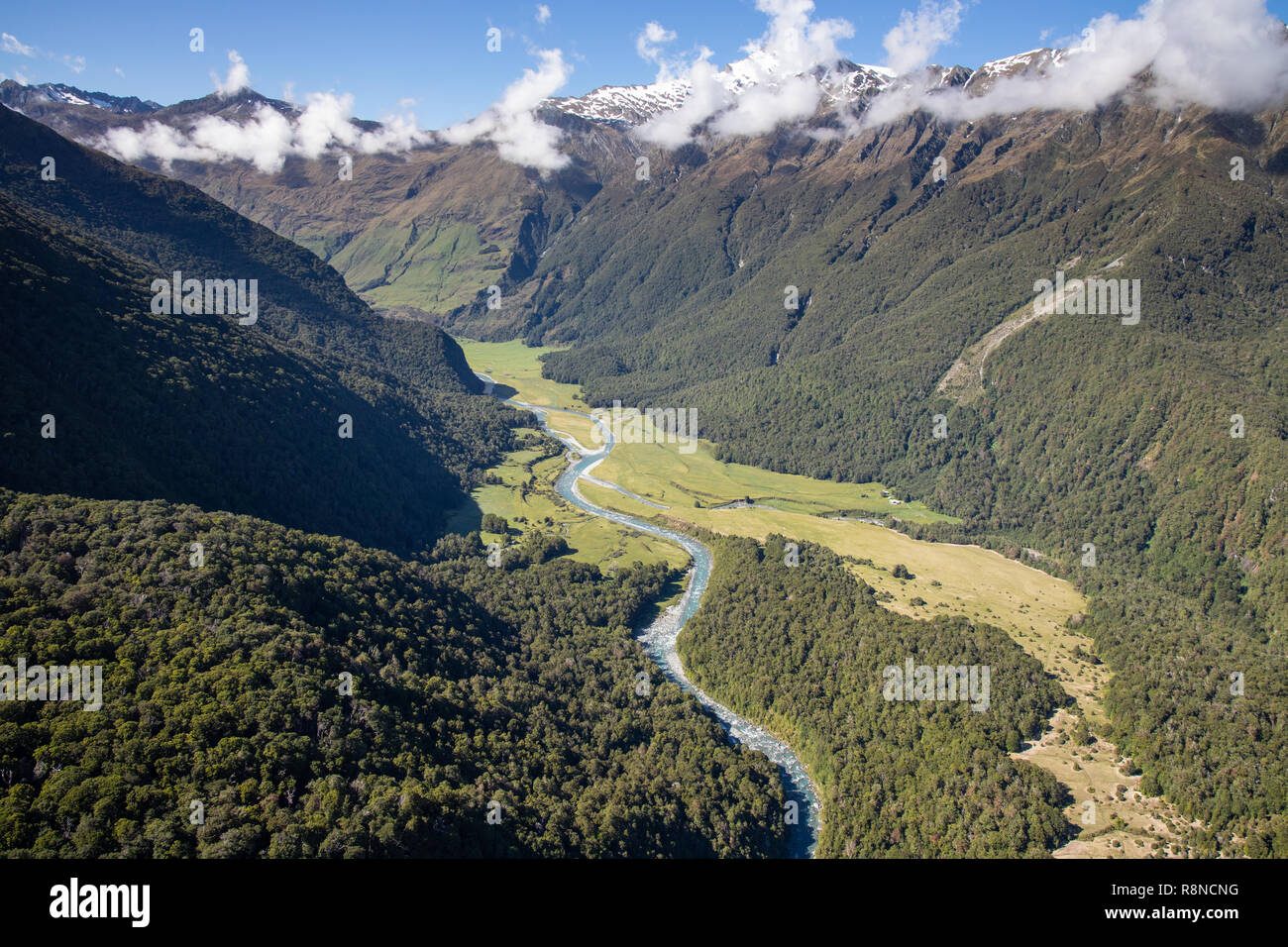 Aerial of Mt Aspiring National Park, South Island, New Zealand Stock Photohttps://www.alamy.com/image-license-details/?v=1https://www.alamy.com/aerial-of-mt-aspiring-national-park-south-island-new-zealand-image229123036.html
RMR8NCNG–Aerial of Mt Aspiring National Park, South Island, New Zealand
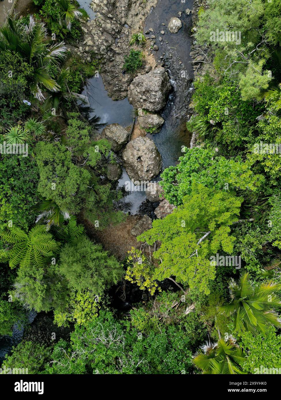 An aerial view of bushes and trees in the forest. New Zealand Stock Photohttps://www.alamy.com/image-license-details/?v=1https://www.alamy.com/an-aerial-view-of-bushes-and-trees-in-the-forest-new-zealand-image608501348.html
RF2X9YHK0–An aerial view of bushes and trees in the forest. New Zealand
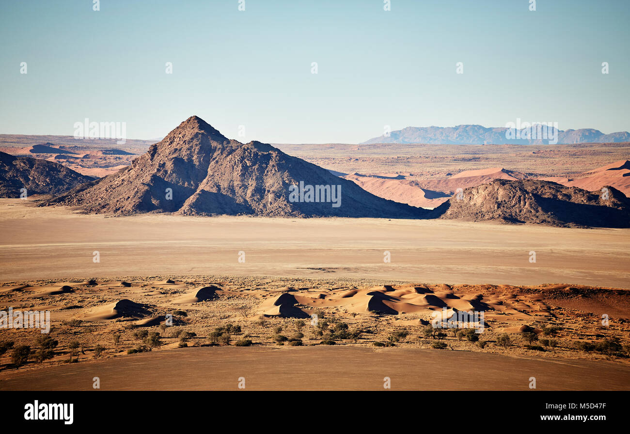 Aerial photo, view from hot air balloon, Tsaris mountains, Kulala Wilderness Reserve, Namib Desert, Hardap Region, Namibia Stock Photohttps://www.alamy.com/image-license-details/?v=1https://www.alamy.com/stock-photo-aerial-photo-view-from-hot-air-balloon-tsaris-mountains-kulala-wilderness-175465683.html
RFM5D47F–Aerial photo, view from hot air balloon, Tsaris mountains, Kulala Wilderness Reserve, Namib Desert, Hardap Region, Namibia
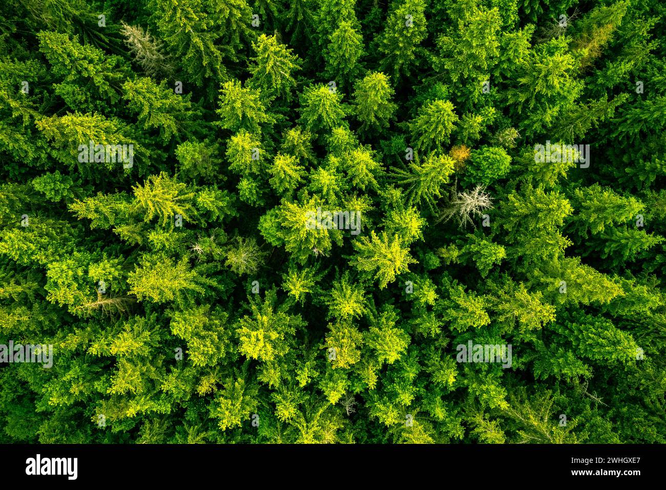 Forest landscape and wilderness, aerial drone view Stock Photohttps://www.alamy.com/image-license-details/?v=1https://www.alamy.com/forest-landscape-and-wilderness-aerial-drone-view-image595973679.html
RF2WHGXE7–Forest landscape and wilderness, aerial drone view
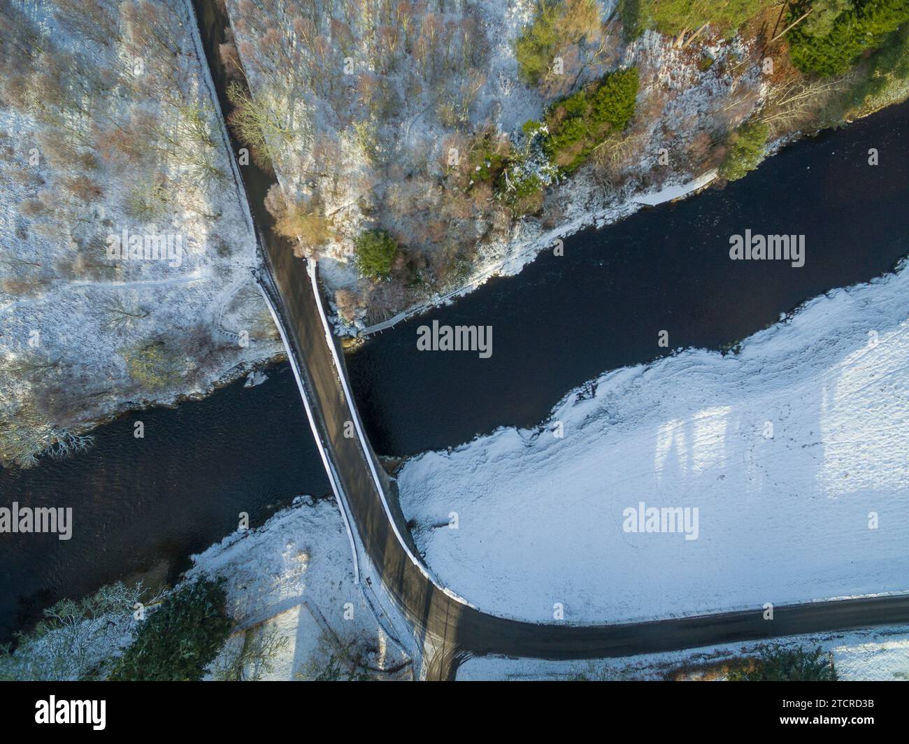 Aerial winter view ofa single lane road bridge the River Carron near Ardgay in the Scottish Highlands of Sutherland, Scotland, UK Stock Photohttps://www.alamy.com/image-license-details/?v=1https://www.alamy.com/aerial-winter-view-ofa-single-lane-road-bridge-the-river-carron-near-ardgay-in-the-scottish-highlands-of-sutherland-scotland-uk-image575833199.html
RM2TCRD3B–Aerial winter view ofa single lane road bridge the River Carron near Ardgay in the Scottish Highlands of Sutherland, Scotland, UK
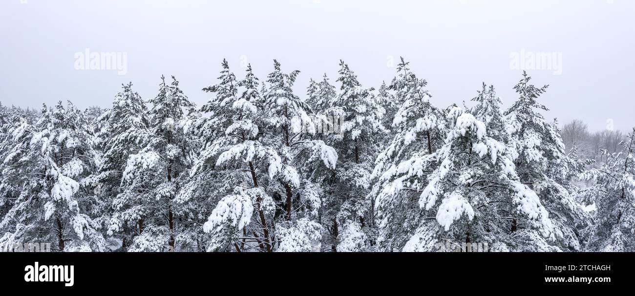 aerial panoramic view of snow-covered fir treetops in the winter forest. Stock Photohttps://www.alamy.com/image-license-details/?v=1https://www.alamy.com/aerial-panoramic-view-of-snow-covered-fir-treetops-in-the-winter-forest-image575699505.html
RF2TCHAGH–aerial panoramic view of snow-covered fir treetops in the winter forest.
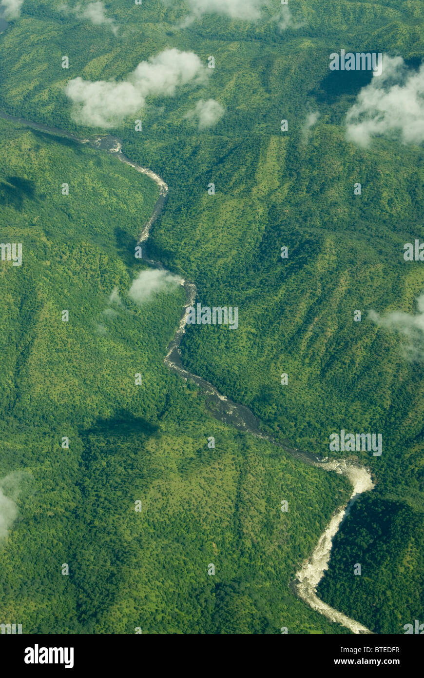 Aerial scenic view of river flowing in a wilderness area with no roads Stock Photohttps://www.alamy.com/image-license-details/?v=1https://www.alamy.com/stock-photo-aerial-scenic-view-of-river-flowing-in-a-wilderness-area-with-no-roads-32280075.html
RMBTEDFR–Aerial scenic view of river flowing in a wilderness area with no roads
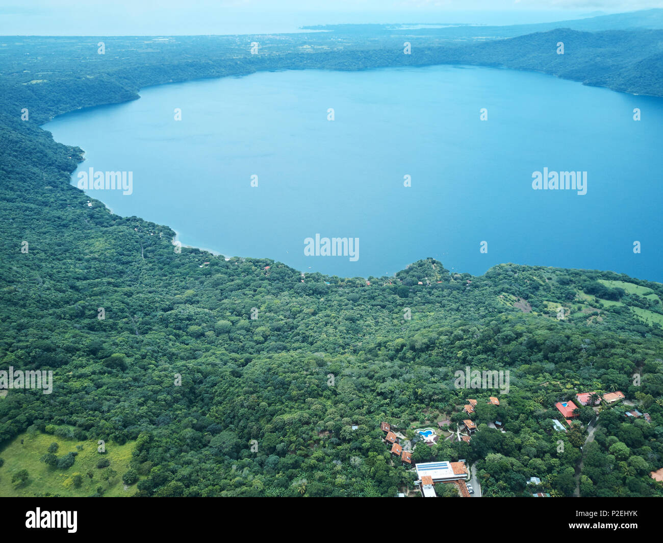 Lagoon Apoyo in Nicaragua aerial drone view Stock Photohttps://www.alamy.com/image-license-details/?v=1https://www.alamy.com/lagoon-apoyo-in-nicaragua-aerial-drone-view-image208075159.html
RFP2EHYK–Lagoon Apoyo in Nicaragua aerial drone view
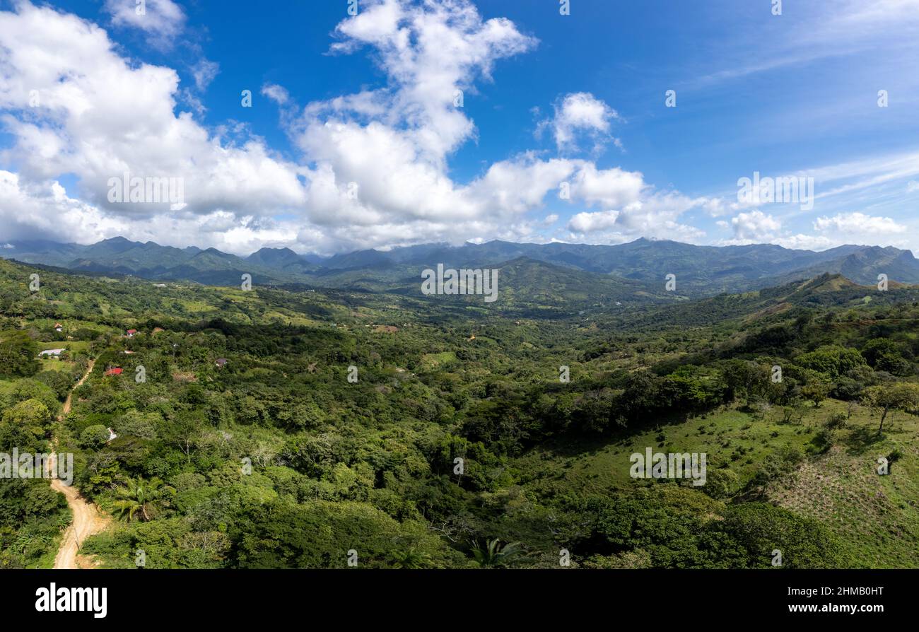 anoramic view of Santa Fe valley, Panama Stock Photohttps://www.alamy.com/image-license-details/?v=1https://www.alamy.com/anoramic-view-of-santa-fe-valley-panama-image460004660.html
RF2HMB0HT–anoramic view of Santa Fe valley, Panama
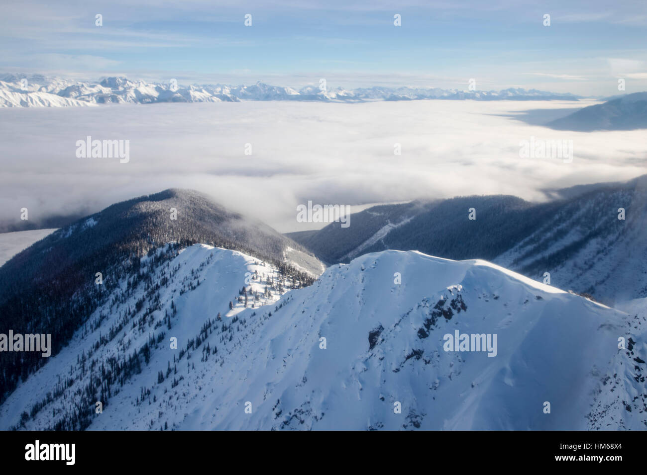 Aerial winter view of Esplanade Range; sub-range of Selkirk Range; British Columbia; Canada Stock Photohttps://www.alamy.com/image-license-details/?v=1https://www.alamy.com/stock-photo-aerial-winter-view-of-esplanade-range-sub-range-of-selkirk-range-british-132904412.html
RMHM68X4–Aerial winter view of Esplanade Range; sub-range of Selkirk Range; British Columbia; Canada
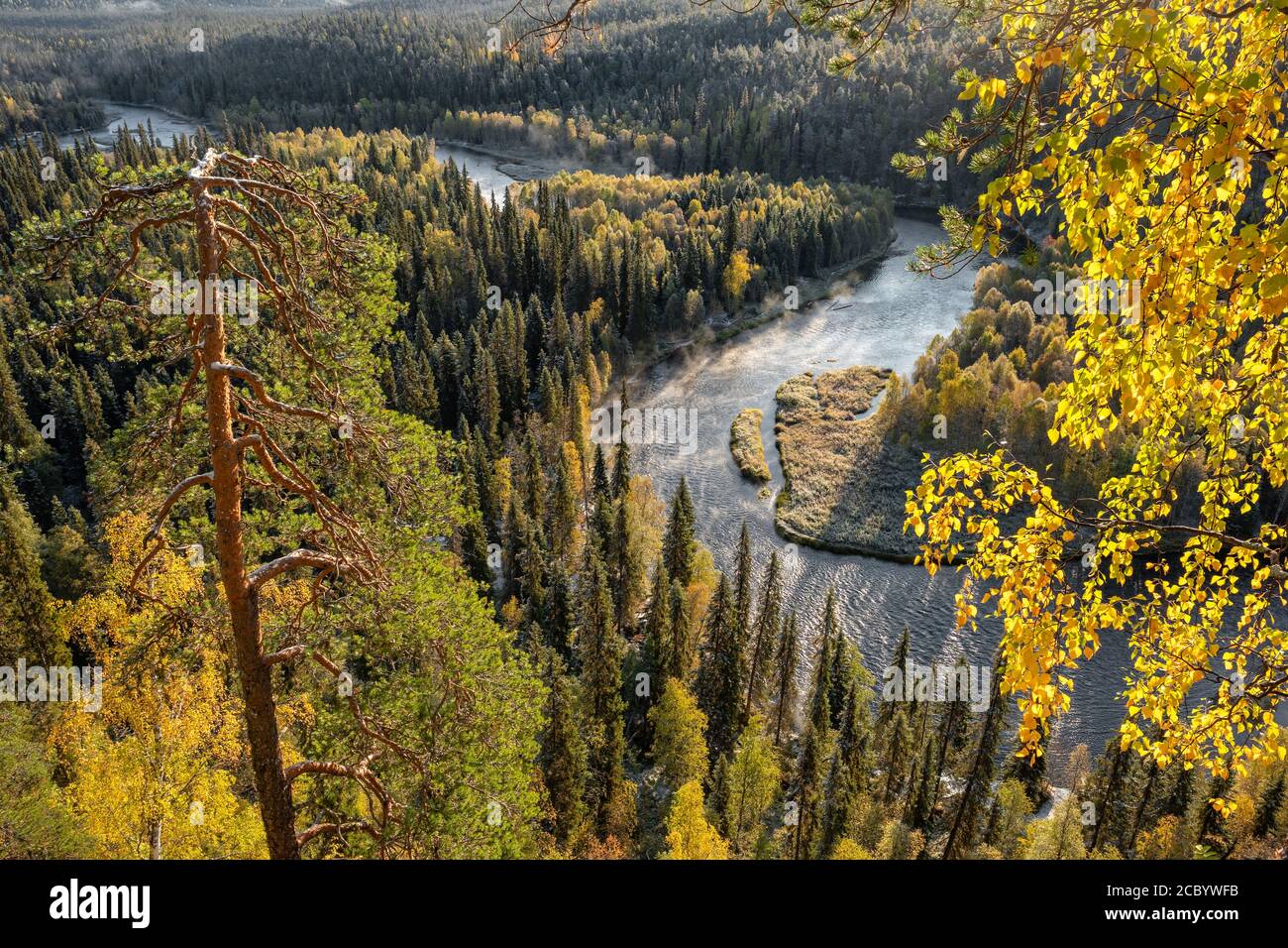 Autumn view in Oulanka National Park landscape Stock Photohttps://www.alamy.com/image-license-details/?v=1https://www.alamy.com/autumn-view-in-oulanka-national-park-landscape-image368791679.html
RF2CBYWFB–Autumn view in Oulanka National Park landscape
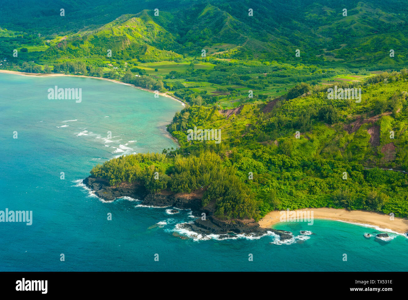 Hawaii, Kauai, Aerial of the Na Pali Coast, Na Pali Coast State Wilderness Park Stock Photohttps://www.alamy.com/image-license-details/?v=1https://www.alamy.com/hawaii-kauai-aerial-of-the-na-pali-coast-na-pali-coast-state-wilderness-park-image257038362.html
RFTX531E–Hawaii, Kauai, Aerial of the Na Pali Coast, Na Pali Coast State Wilderness Park
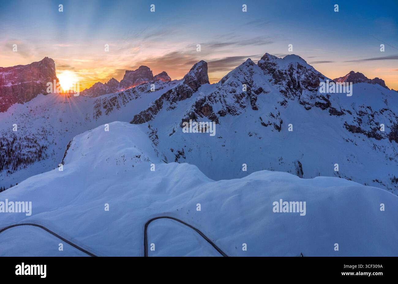 Aerial winter view of Passo Giau at dawn, with the sun rising behind Forcella Giau and Monte Cernera visible on the right. Snow-covered alpine slopes glow in the early morning light. Dolomites, Colle Santa Lucia municipality, Belluno province, Veneto region, Italy Stock Photohttps://www.alamy.com/image-license-details/?v=1https://www.alamy.com/aerial-winter-view-of-passo-giau-at-dawn-with-the-sun-rising-behind-forcella-giau-and-monte-cernera-visible-on-the-right-snow-covered-alpine-slopes-glow-in-the-early-morning-light-dolomites-colle-santa-lucia-municipality-belluno-province-veneto-region-italy-image697700678.html
RM3CF309A–Aerial winter view of Passo Giau at dawn, with the sun rising behind Forcella Giau and Monte Cernera visible on the right. Snow-covered alpine slopes glow in the early morning light. Dolomites, Colle Santa Lucia municipality, Belluno province, Veneto region, Italy
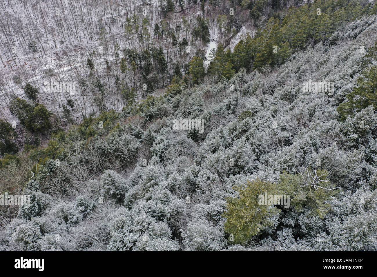 Aerial Drone View of Mountains with forest trees in wintertime with snow, Williamstown, Vermont, United States. Stock Photohttps://www.alamy.com/image-license-details/?v=1https://www.alamy.com/aerial-drone-view-of-mountains-with-forest-trees-in-wintertime-with-snow-williamstown-vermont-united-states-image666830970.html
RF3AMTNKP–Aerial Drone View of Mountains with forest trees in wintertime with snow, Williamstown, Vermont, United States.
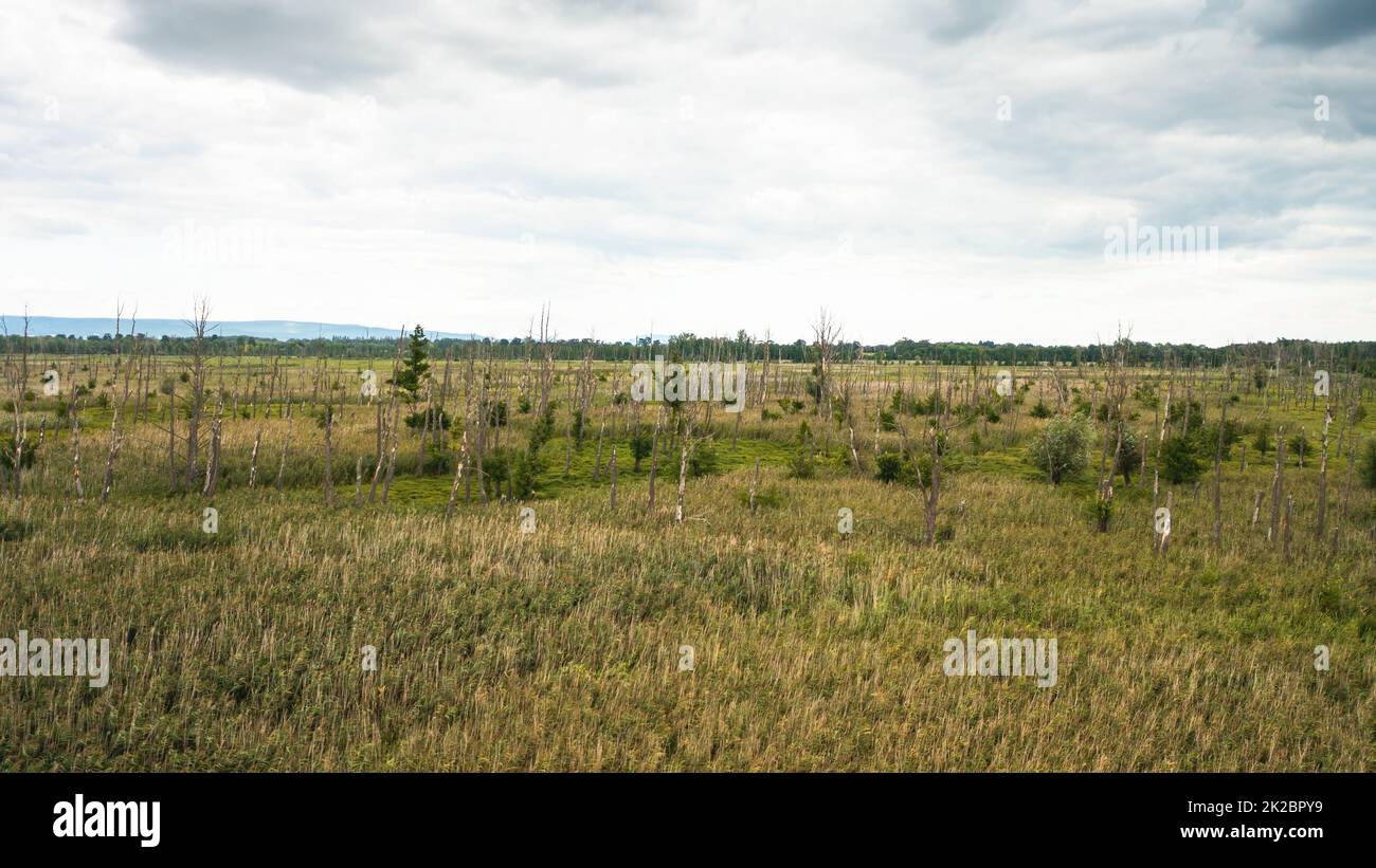 Drone view of a marsh with growing reed grasses and dead old trees Stock Photohttps://www.alamy.com/image-license-details/?v=1https://www.alamy.com/drone-view-of-a-marsh-with-growing-reed-grasses-and-dead-old-trees-image483379101.html
RF2K2BPY9–Drone view of a marsh with growing reed grasses and dead old trees
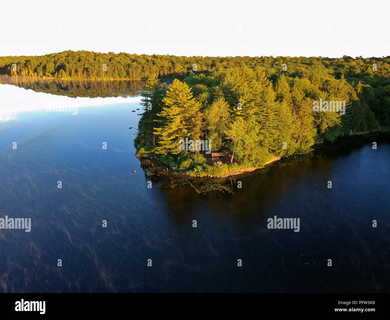 Aerial drone image of a Log cabin Lean-to shelter and campfire on a lake in the Adirondack Mountains. Bird's eye view of a waterfront campsite Stock Photohttps://www.alamy.com/image-license-details/?v=1https://www.alamy.com/aerial-drone-image-of-a-log-cabin-lean-to-shelter-and-campfire-on-a-lake-in-the-adirondack-mountains-birds-eye-view-of-a-waterfront-campsite-image216295948.html
RFPFW3K8–Aerial drone image of a Log cabin Lean-to shelter and campfire on a lake in the Adirondack Mountains. Bird's eye view of a waterfront campsite
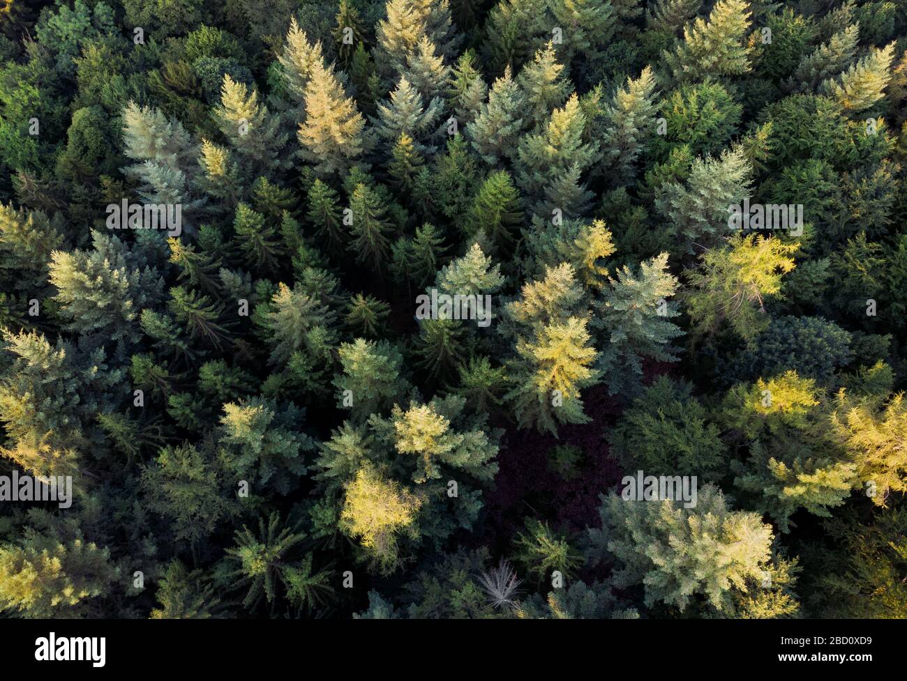 Aerial downward view of an evergreen forest with the sunlight falling on some of the treetops Stock Photohttps://www.alamy.com/image-license-details/?v=1https://www.alamy.com/aerial-downward-view-of-an-evergreen-forest-with-the-sunlight-falling-on-some-of-the-treetops-image352218645.html
RF2BD0XD9–Aerial downward view of an evergreen forest with the sunlight falling on some of the treetops
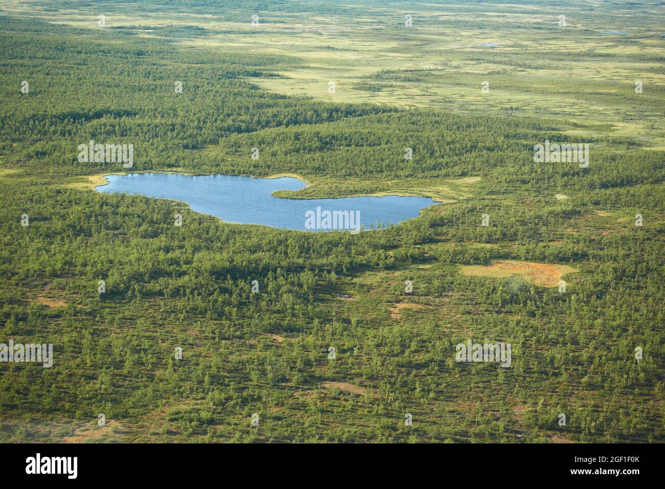 Aeriel view to Kiruna wilderness from helicopter with small lake or pond in the middle of the swamps and trees in far north of Swedish Lapland. Stock Photohttps://www.alamy.com/image-license-details/?v=1https://www.alamy.com/aeriel-view-to-kiruna-wilderness-from-helicopter-with-small-lake-or-pond-in-the-middle-of-the-swamps-and-trees-in-far-north-of-swedish-lapland-image439512771.html
RF2GF1F0K–Aeriel view to Kiruna wilderness from helicopter with small lake or pond in the middle of the swamps and trees in far north of Swedish Lapland.
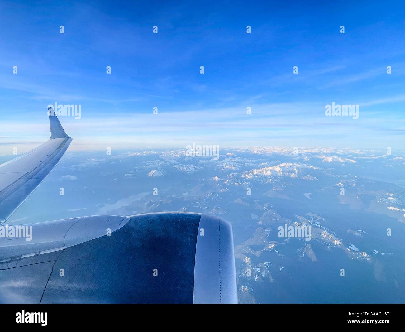 A view of an airplane wing flying over a snow-covered mountain landscape. Captured from high altitude with clear skies and mountain views. Stock Photohttps://www.alamy.com/image-license-details/?v=1https://www.alamy.com/a-view-of-an-airplane-wing-flying-over-a-snow-covered-mountain-landscape-captured-from-high-altitude-with-clear-skies-and-mountain-views-image660417460.html
RF3AACH5T–A view of an airplane wing flying over a snow-covered mountain landscape. Captured from high altitude with clear skies and mountain views.
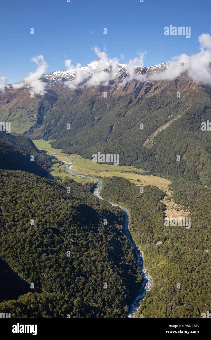 Aerial of Mt Aspiring National Park, South Island, New Zealand Stock Photohttps://www.alamy.com/image-license-details/?v=1https://www.alamy.com/aerial-of-mt-aspiring-national-park-south-island-new-zealand-image229122995.html
RMR8NCM3–Aerial of Mt Aspiring National Park, South Island, New Zealand
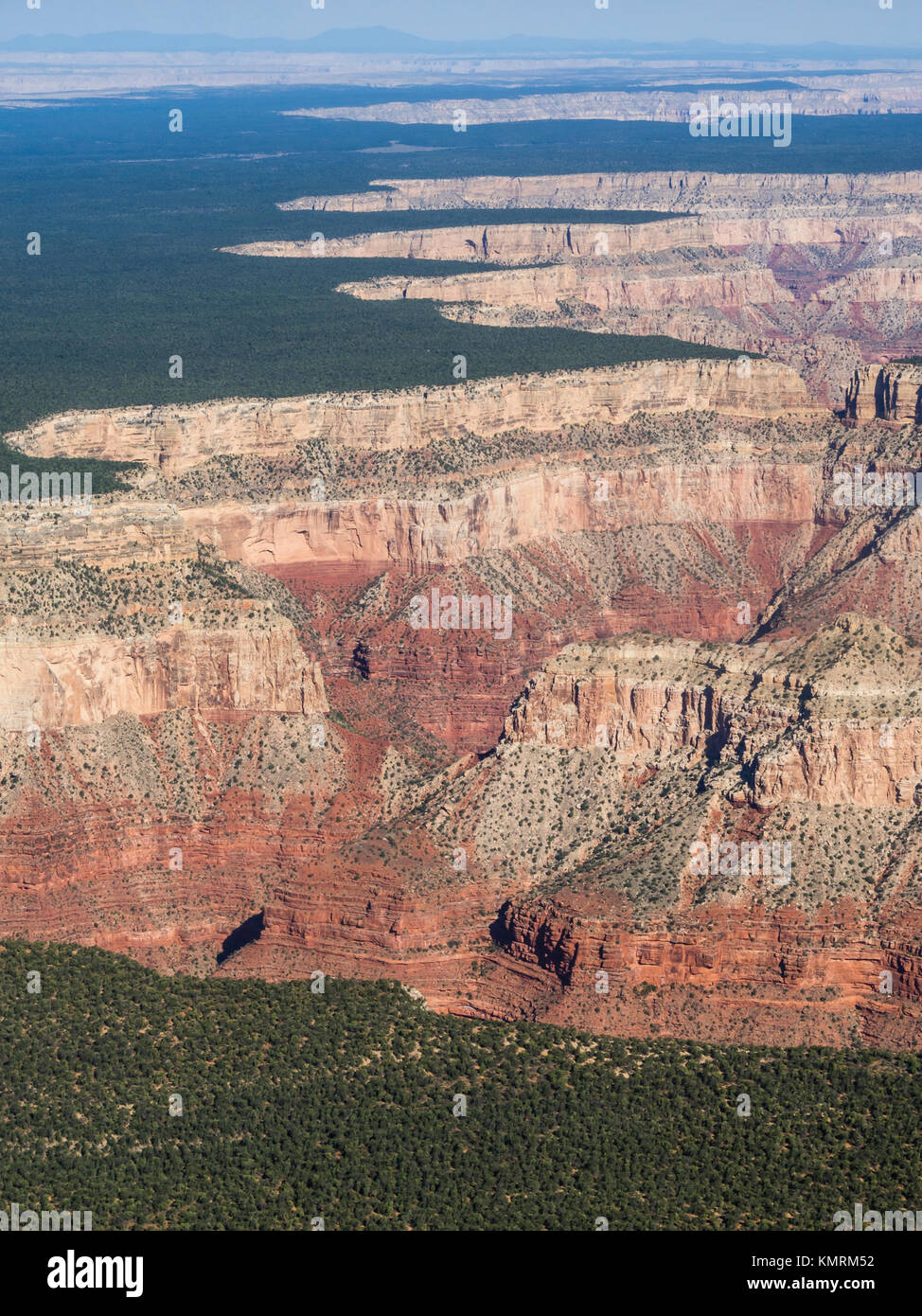 Aerial view onto the brim at the south rim of the Grand Canyon (USA), where the plains abruptly drop off into the canyon. Stock Photohttps://www.alamy.com/image-license-details/?v=1https://www.alamy.com/stock-image-aerial-view-onto-the-brim-at-the-south-rim-of-the-grand-canyon-usa-167707150.html
RFKMRM52–Aerial view onto the brim at the south rim of the Grand Canyon (USA), where the plains abruptly drop off into the canyon.
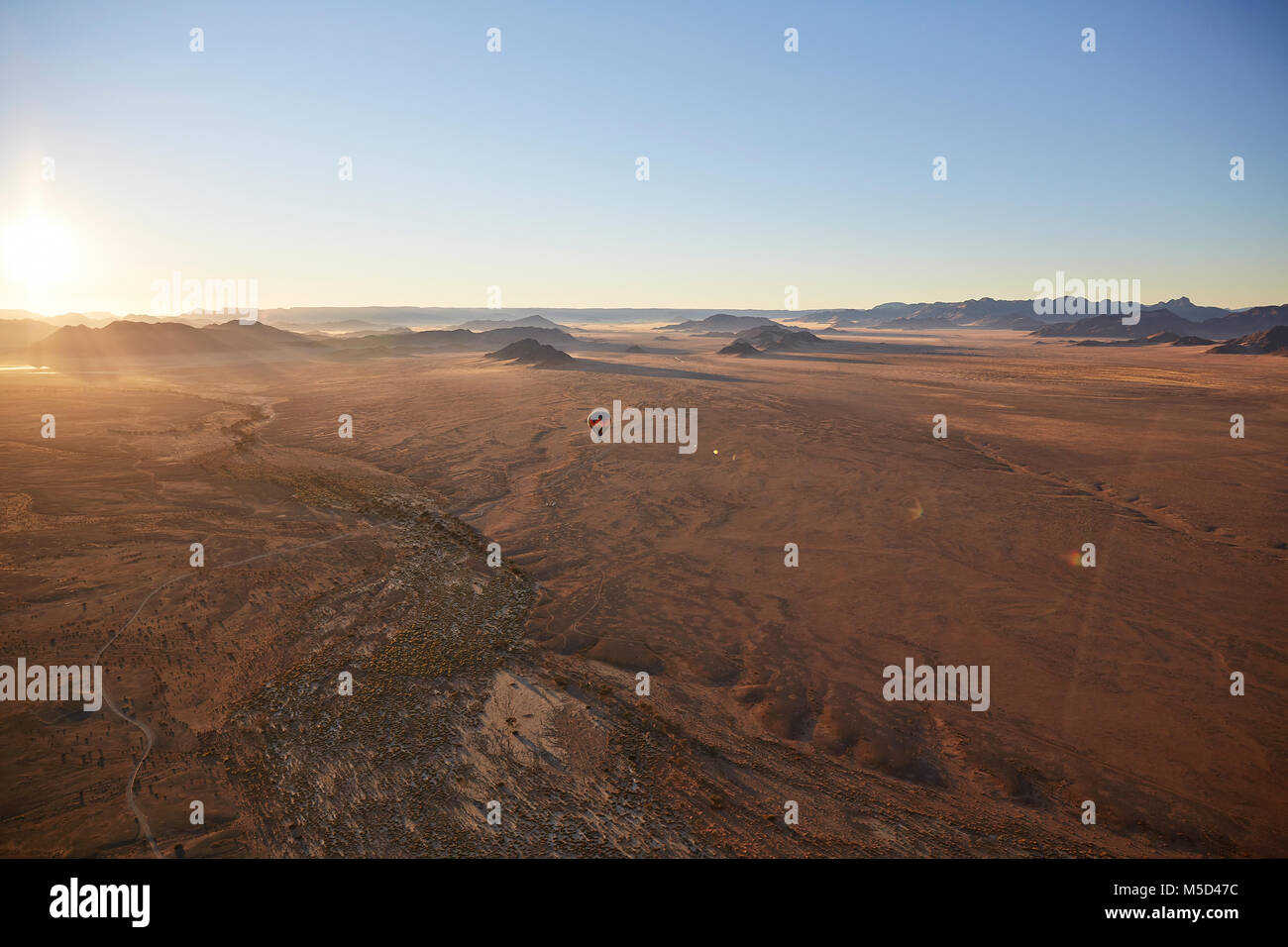 Aerial photo, view from hot air balloon, Tsaris mountains, Kulala Wilderness Reserve, Namib Desert, Hardap Region, Namibia Stock Photohttps://www.alamy.com/image-license-details/?v=1https://www.alamy.com/stock-photo-aerial-photo-view-from-hot-air-balloon-tsaris-mountains-kulala-wilderness-175465680.html
RFM5D47C–Aerial photo, view from hot air balloon, Tsaris mountains, Kulala Wilderness Reserve, Namib Desert, Hardap Region, Namibia
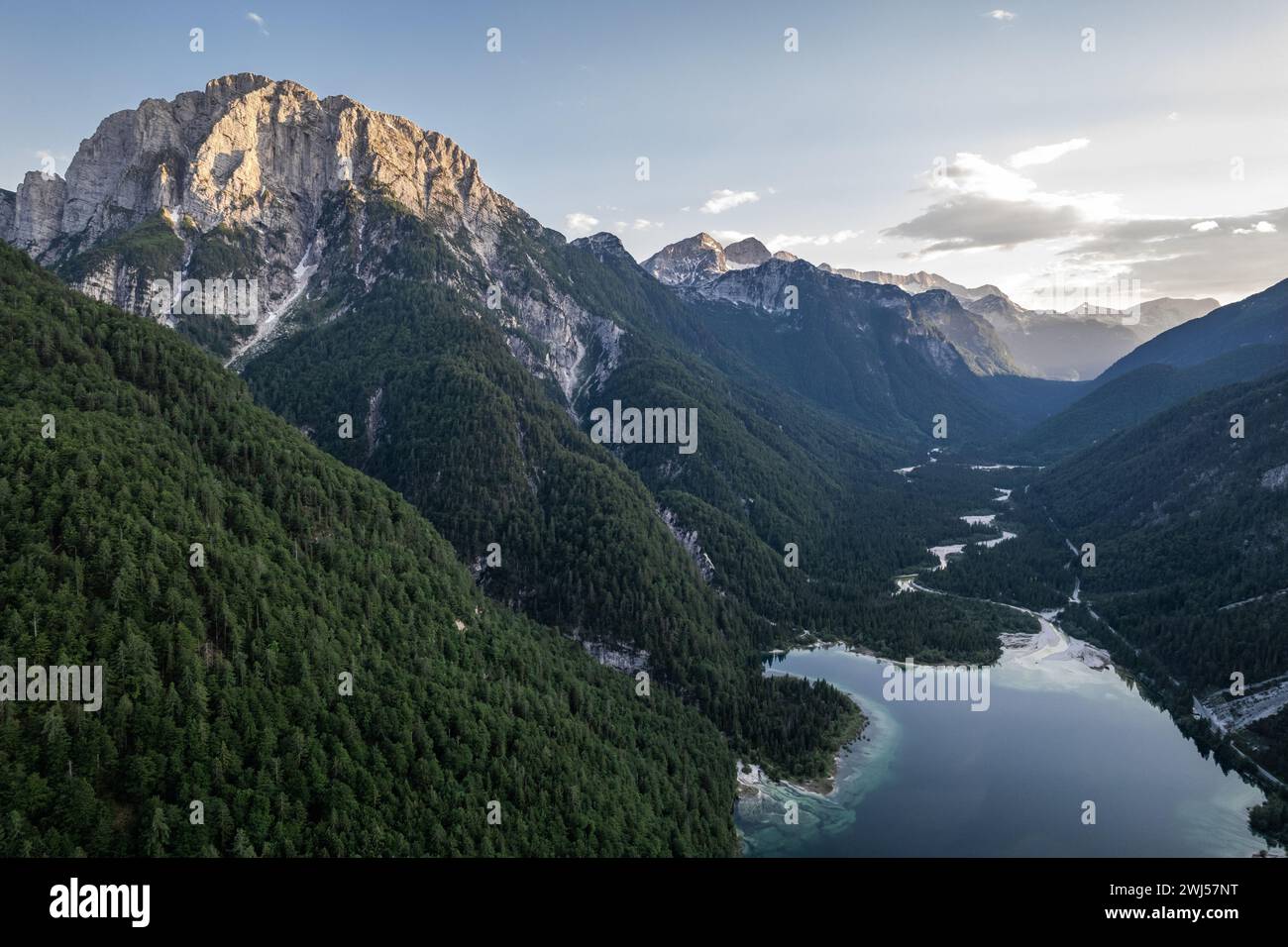 Predil Lake and Alpine mountains landscape in Italy. Aerial drone view Stock Photohttps://www.alamy.com/image-license-details/?v=1https://www.alamy.com/predil-lake-and-alpine-mountains-landscape-in-italy-aerial-drone-view-image596332180.html
RF2WJ57NT–Predil Lake and Alpine mountains landscape in Italy. Aerial drone view
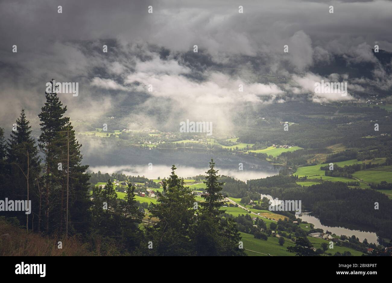 Aerial Misty Morning View of Voss, Hordaland, Norway Stock Photohttps://www.alamy.com/image-license-details/?v=1https://www.alamy.com/aerial-misty-morning-view-of-voss-hordaland-norway-image360381528.html
RF2BX8P8T–Aerial Misty Morning View of Voss, Hordaland, Norway
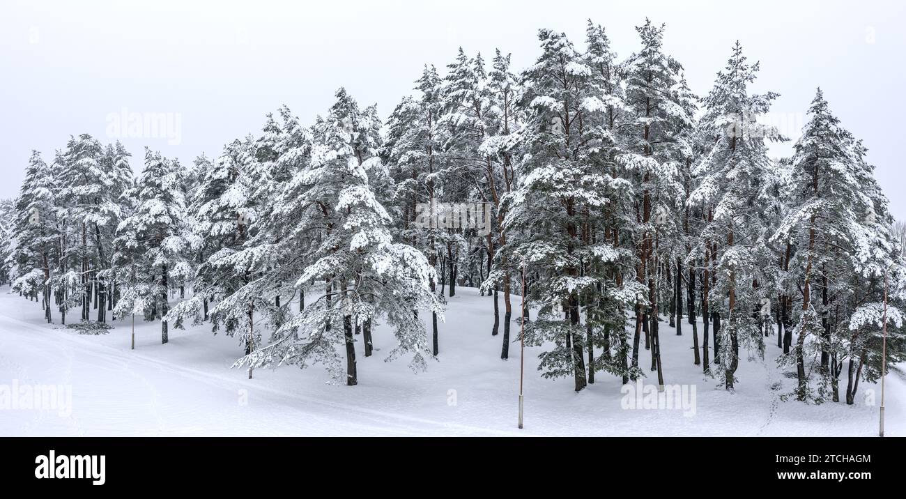 panoramic view of the snowy park with white trees in the snow. aerial drone photo. Stock Photohttps://www.alamy.com/image-license-details/?v=1https://www.alamy.com/panoramic-view-of-the-snowy-park-with-white-trees-in-the-snow-aerial-drone-photo-image575699508.html
RF2TCHAGM–panoramic view of the snowy park with white trees in the snow. aerial drone photo.
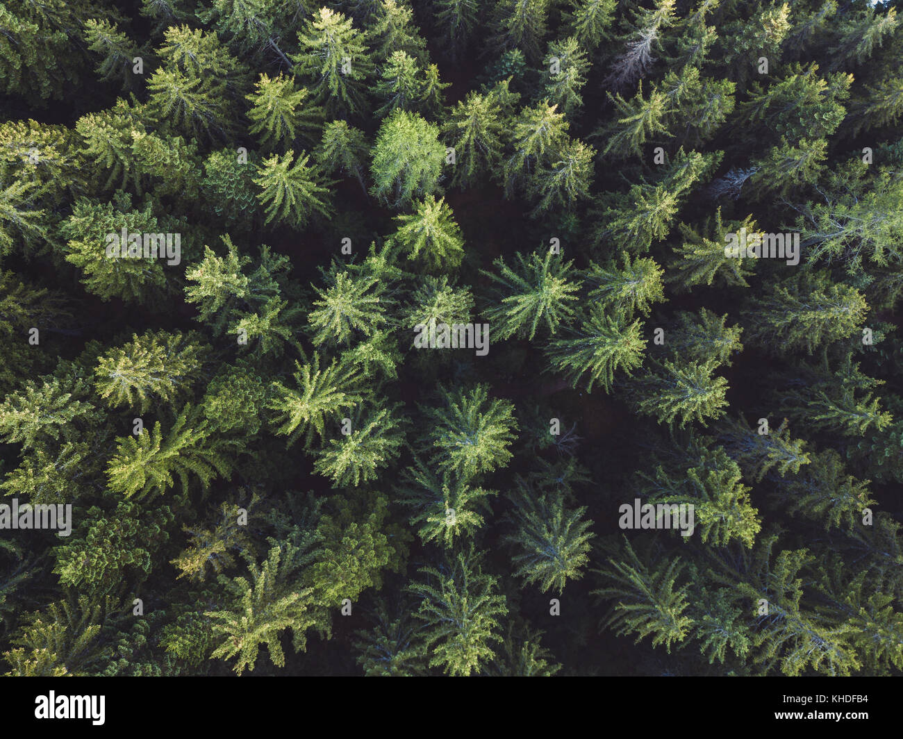 pine forest aerial shot, top view of green trees from drone, beautiful landscape Stock Photohttps://www.alamy.com/image-license-details/?v=1https://www.alamy.com/stock-image-pine-forest-aerial-shot-top-view-of-green-trees-from-drone-beautiful-165639912.html
RFKHDFB4–pine forest aerial shot, top view of green trees from drone, beautiful landscape
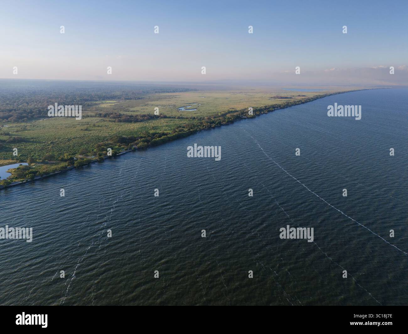 Lake shore with green swamp background aerial drone view Stock Photohttps://www.alamy.com/image-license-details/?v=1https://www.alamy.com/lake-shore-with-green-swamp-background-aerial-drone-view-image689219314.html
RF3C18J7E–Lake shore with green swamp background aerial drone view
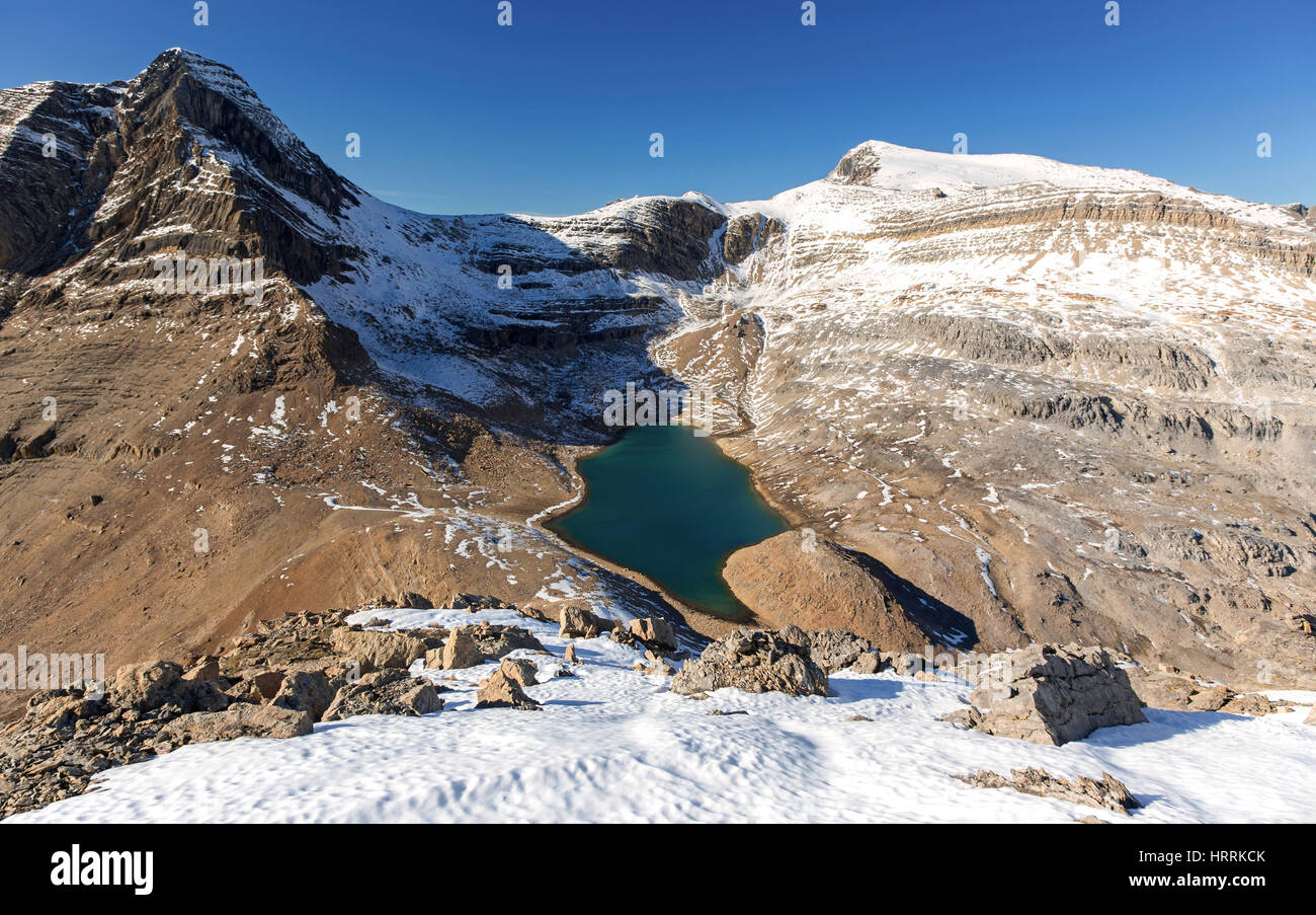 Aerial Landscape View Emerald Green Alpine Lake and Rugged Mountain Peaks above Kiwetinok Pass. Rock Climbing, Yoho National Park, Canadian Rockies Stock Photohttps://www.alamy.com/image-license-details/?v=1https://www.alamy.com/stock-photo-aerial-landscape-view-emerald-green-alpine-lake-and-rugged-mountain-135129811.html
RFHRRKCK–Aerial Landscape View Emerald Green Alpine Lake and Rugged Mountain Peaks above Kiwetinok Pass. Rock Climbing, Yoho National Park, Canadian Rockies
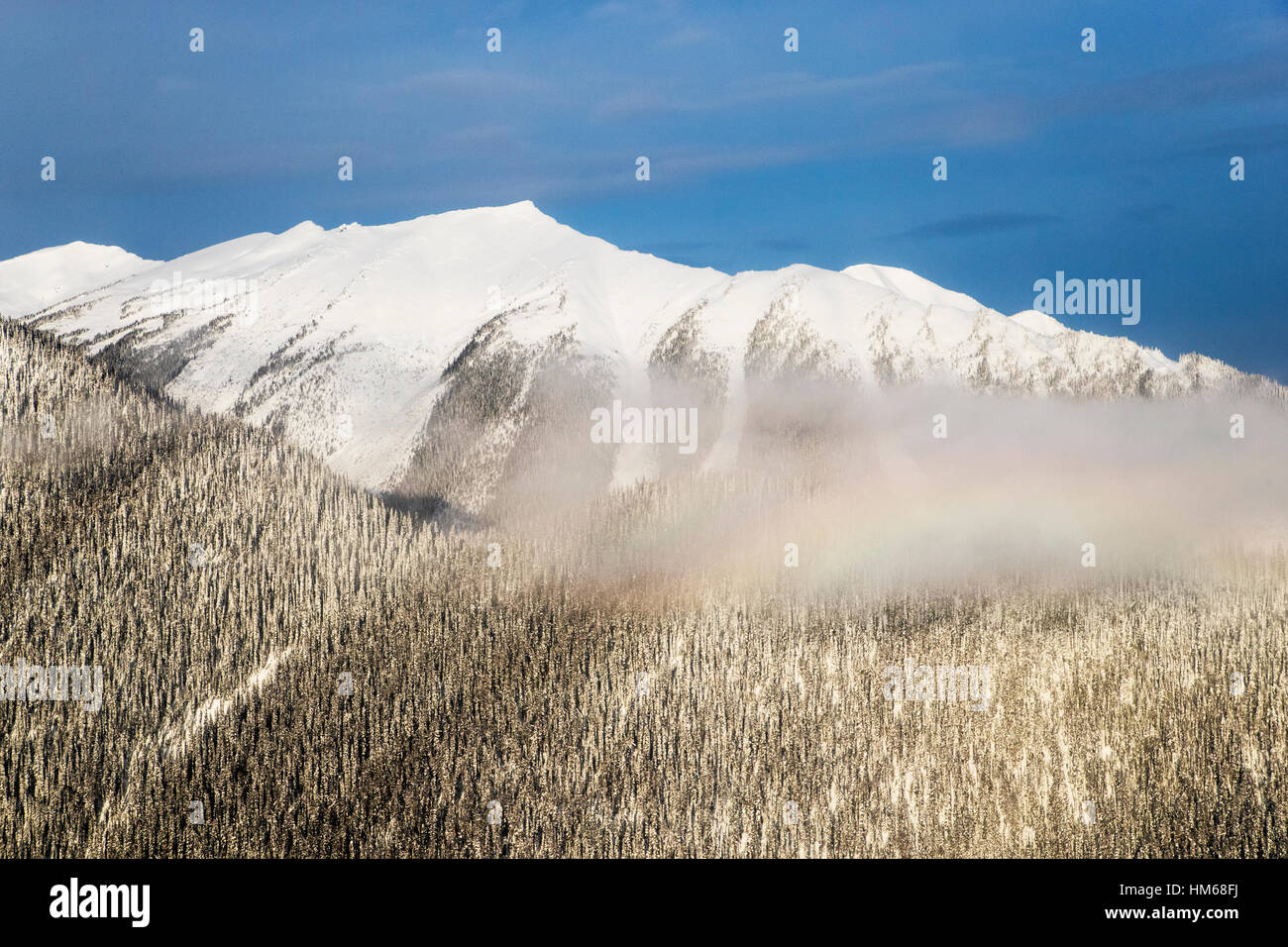 Aerial winter view of Esplanade Range; sub-range of Selkirk Range; British Columbia; Canada Stock Photohttps://www.alamy.com/image-license-details/?v=1https://www.alamy.com/stock-photo-aerial-winter-view-of-esplanade-range-sub-range-of-selkirk-range-british-132904118.html
RMHM68FJ–Aerial winter view of Esplanade Range; sub-range of Selkirk Range; British Columbia; Canada
 Birds eye view of freezing river and snowy forest from drone Stock Photohttps://www.alamy.com/image-license-details/?v=1https://www.alamy.com/birds-eye-view-of-freezing-river-and-snowy-forest-from-drone-image235219474.html
RFRJK4RE–Birds eye view of freezing river and snowy forest from drone
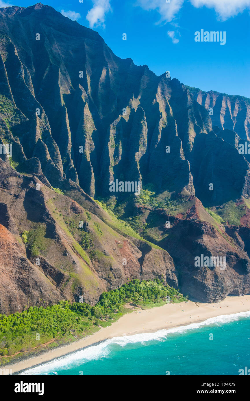 Hawaii, Kauai, Aerial of the Na Pali Coast, Na Pali Coast State Wilderness Park Stock Photohttps://www.alamy.com/image-license-details/?v=1https://www.alamy.com/hawaii-kauai-aerial-of-the-na-pali-coast-na-pali-coast-state-wilderness-park-image257034605.html
RFTX4X79–Hawaii, Kauai, Aerial of the Na Pali Coast, Na Pali Coast State Wilderness Park
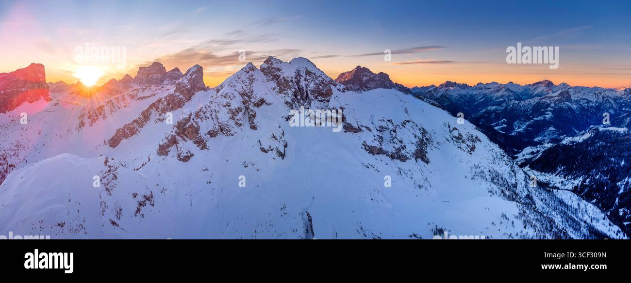 Aerial winter view of Passo Giau at dawn, with the sun rising behind Forcella Giau and Monte Cernera visible on the right. Snow-covered alpine slopes glow in the early morning light. Dolomites, Colle Santa Lucia municipality, Belluno province, Veneto region, Italy Stock Photohttps://www.alamy.com/image-license-details/?v=1https://www.alamy.com/aerial-winter-view-of-passo-giau-at-dawn-with-the-sun-rising-behind-forcella-giau-and-monte-cernera-visible-on-the-right-snow-covered-alpine-slopes-glow-in-the-early-morning-light-dolomites-colle-santa-lucia-municipality-belluno-province-veneto-region-italy-image697700689.html
RM3CF309N–Aerial winter view of Passo Giau at dawn, with the sun rising behind Forcella Giau and Monte Cernera visible on the right. Snow-covered alpine slopes glow in the early morning light. Dolomites, Colle Santa Lucia municipality, Belluno province, Veneto region, Italy
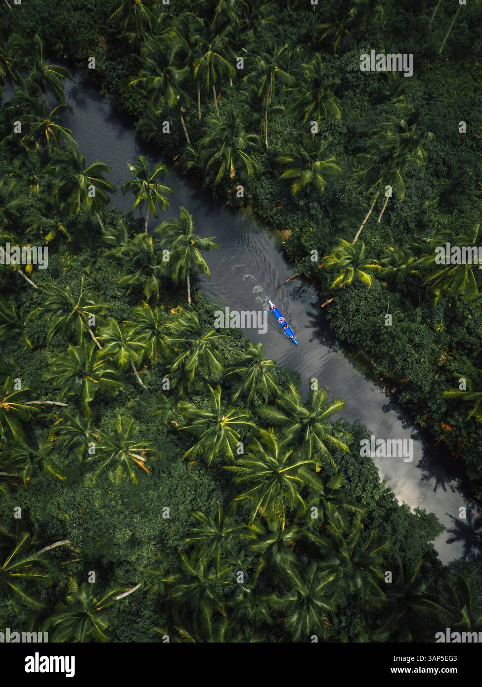 Aerial drone view of a canoe sailing along the tropical river in Siargao Island, Dapa, Surigao del Norte, Philippines. Stock Photohttps://www.alamy.com/image-license-details/?v=1https://www.alamy.com/aerial-drone-view-of-a-canoe-sailing-along-the-tropical-river-in-siargao-island-dapa-surigao-del-norte-philippines-image667637603.html
RF3AP5EG3–Aerial drone view of a canoe sailing along the tropical river in Siargao Island, Dapa, Surigao del Norte, Philippines.
 miniature model of a bear, birds eye view Stock Photohttps://www.alamy.com/image-license-details/?v=1https://www.alamy.com/miniature-model-of-a-bear-birds-eye-view-image327915540.html
RM2A1DRH8–miniature model of a bear, birds eye view
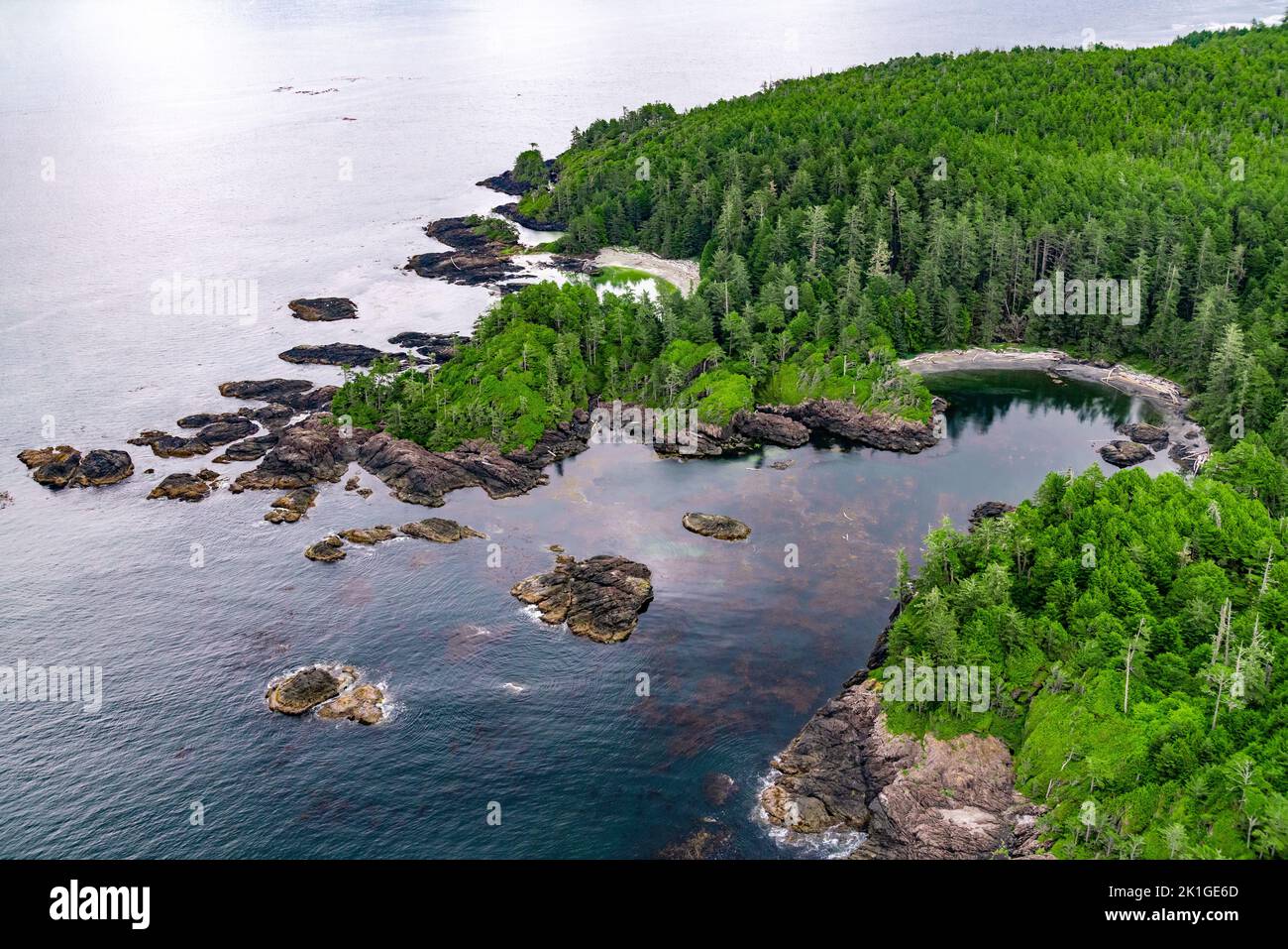 Aerial image of Tofino coastline, British Columbia, Canada Stock Photohttps://www.alamy.com/image-license-details/?v=1https://www.alamy.com/aerial-image-of-tofino-coastline-british-columbia-canada-image482867349.html
RF2K1GE6D–Aerial image of Tofino coastline, British Columbia, Canada
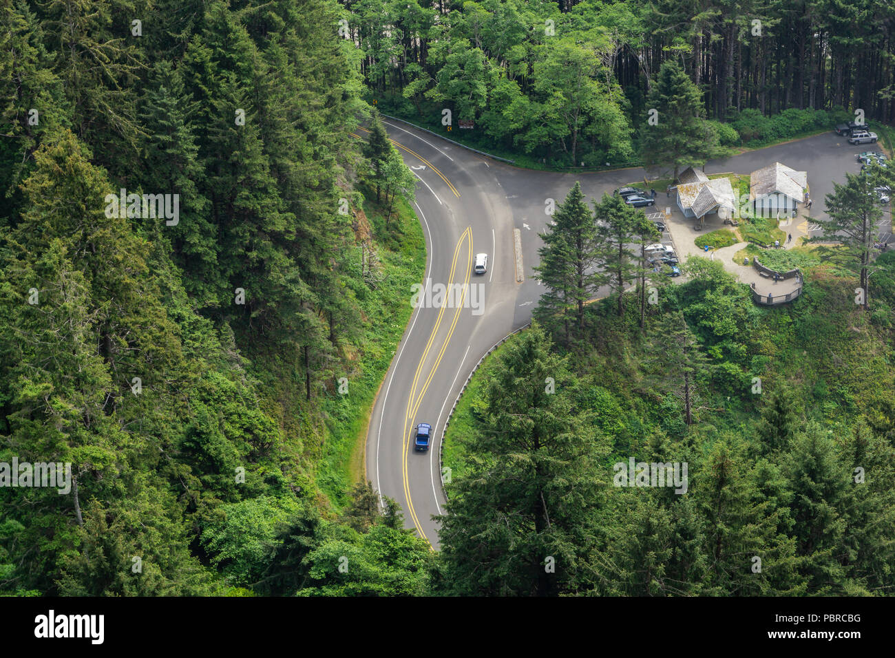 Aerial view of us route 101 at Cape Perpetua Scenic Area with resting area and traffic, winding through pine forest, Oregon, USA. Stock Photohttps://www.alamy.com/image-license-details/?v=1https://www.alamy.com/aerial-view-of-us-route-101-at-cape-perpetua-scenic-area-with-resting-area-and-traffic-winding-through-pine-forest-oregon-usa-image213800260.html
RFPBRCBG–Aerial view of us route 101 at Cape Perpetua Scenic Area with resting area and traffic, winding through pine forest, Oregon, USA.
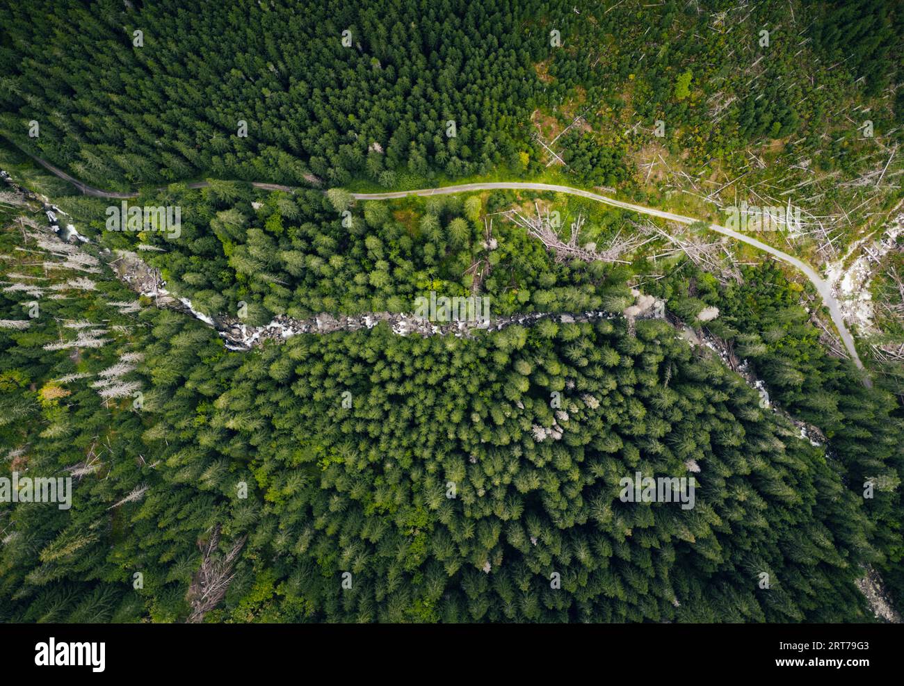 Aerial photo of green forest with curved mountain river by drone from very high altitude. Top view of peaceful forest in summer time Stock Photohttps://www.alamy.com/image-license-details/?v=1https://www.alamy.com/aerial-photo-of-green-forest-with-curved-mountain-river-by-drone-from-very-high-altitude-top-view-of-peaceful-forest-in-summer-time-image565644691.html
RF2RT79G3–Aerial photo of green forest with curved mountain river by drone from very high altitude. Top view of peaceful forest in summer time
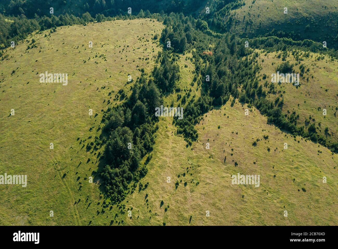 Aerial view of a mountain landscape Stock Photohttps://www.alamy.com/image-license-details/?v=1https://www.alamy.com/aerial-view-of-a-mountain-landscape-image368333349.html
RF2CB70XD–Aerial view of a mountain landscape
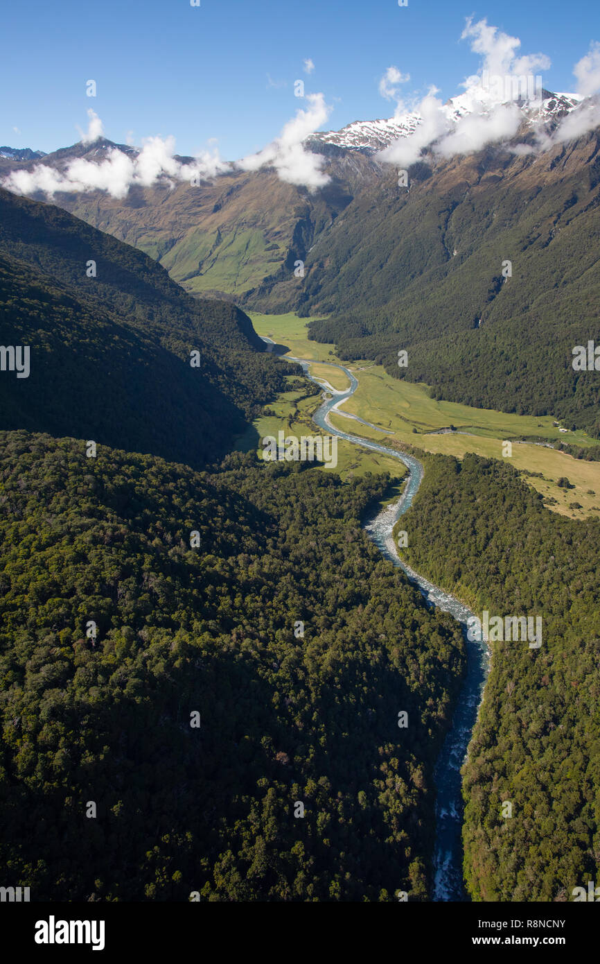 Aerial of Mt Aspiring National Park, South Island, New Zealand Stock Photohttps://www.alamy.com/image-license-details/?v=1https://www.alamy.com/aerial-of-mt-aspiring-national-park-south-island-new-zealand-image229123047.html
RMR8NCNY–Aerial of Mt Aspiring National Park, South Island, New Zealand
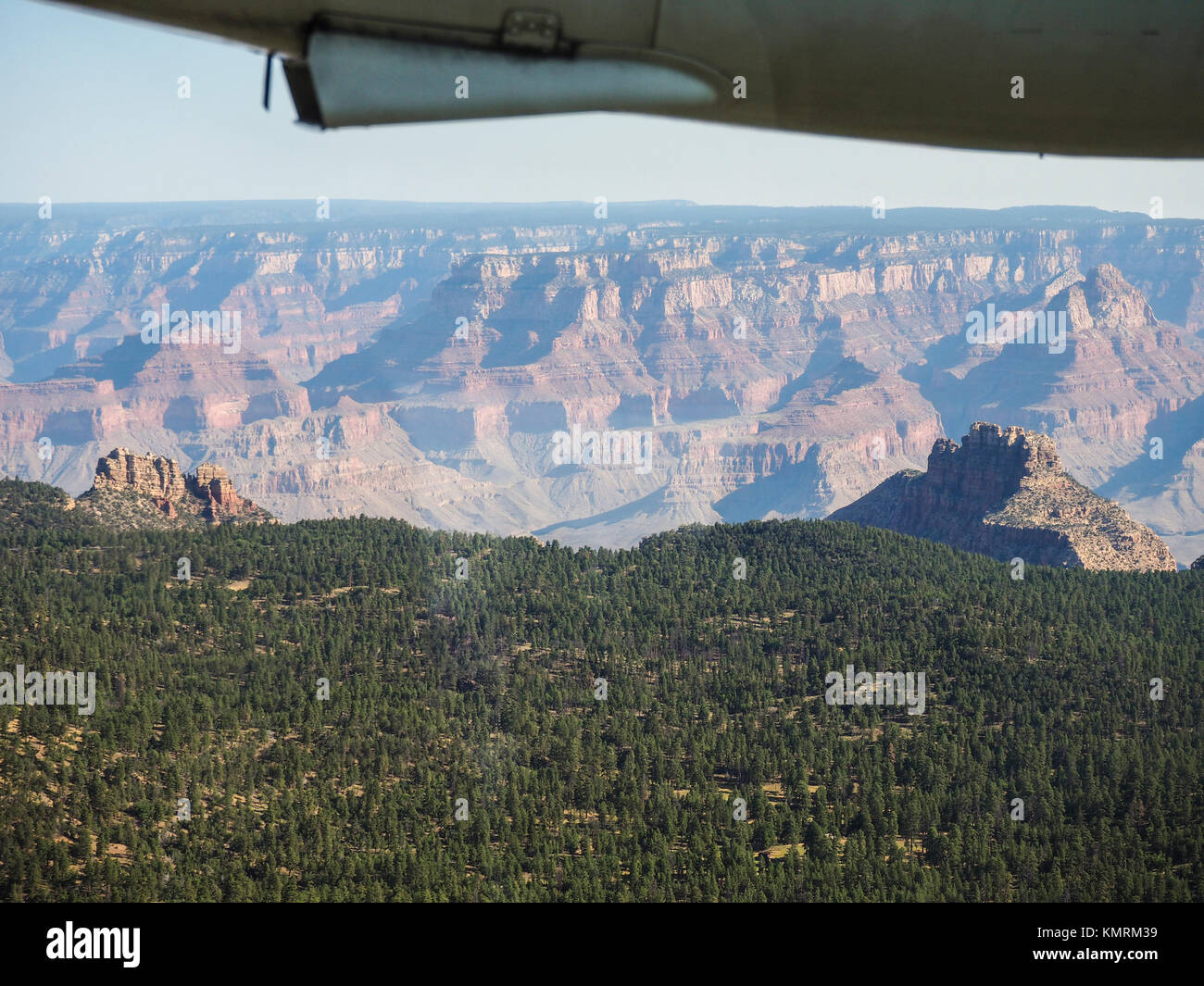 Aerial view onto the brim at the south rim of the Grand Canyon (USA), where the plains abruptly drop off into the canyon. Stock Photohttps://www.alamy.com/image-license-details/?v=1https://www.alamy.com/stock-image-aerial-view-onto-the-brim-at-the-south-rim-of-the-grand-canyon-usa-167707101.html
RFKMRM39–Aerial view onto the brim at the south rim of the Grand Canyon (USA), where the plains abruptly drop off into the canyon.
 Aerial photo, view from hot air balloon, Tsaris mountains, Kulala Wilderness Reserve, Namib Desert, Hardap Region, Namibia Stock Photohttps://www.alamy.com/image-license-details/?v=1https://www.alamy.com/stock-photo-aerial-photo-view-from-hot-air-balloon-tsaris-mountains-kulala-wilderness-175465710.html
RFM5D48E–Aerial photo, view from hot air balloon, Tsaris mountains, Kulala Wilderness Reserve, Namib Desert, Hardap Region, Namibia
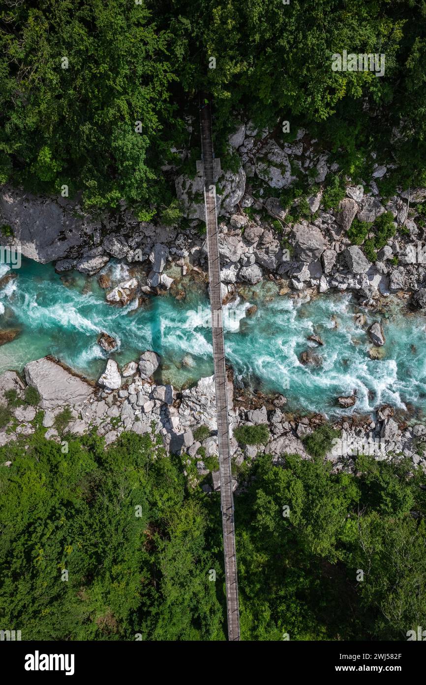 Aerial drone view of suspension bridge over Soca river in Slovenia Stock Photohttps://www.alamy.com/image-license-details/?v=1https://www.alamy.com/aerial-drone-view-of-suspension-bridge-over-soca-river-in-slovenia-image596332423.html
RF2WJ582F–Aerial drone view of suspension bridge over Soca river in Slovenia
 view from the airplane window Stock Photohttps://www.alamy.com/image-license-details/?v=1https://www.alamy.com/stock-photo-view-from-the-airplane-window-172362540.html
RFM0BP50–view from the airplane window
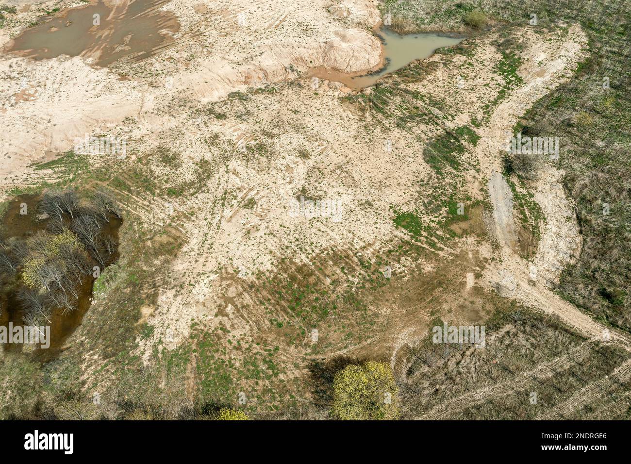 dirt roads and tracks on dry earth in countryside. aerial overhead view. Stock Photohttps://www.alamy.com/image-license-details/?v=1https://www.alamy.com/dirt-roads-and-tracks-on-dry-earth-in-countryside-aerial-overhead-view-image524819406.html
RF2NDRGE6–dirt roads and tracks on dry earth in countryside. aerial overhead view.
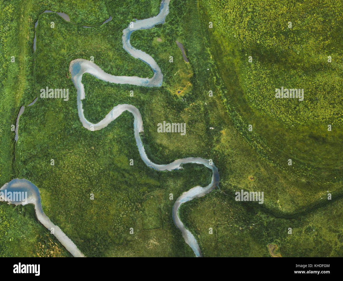 aerial landscape of winding river in green field, top view of beautiful nature texture from drone Stock Photohttps://www.alamy.com/image-license-details/?v=1https://www.alamy.com/stock-image-aerial-landscape-of-winding-river-in-green-field-top-view-of-beautiful-165640068.html
RFKHDFGM–aerial landscape of winding river in green field, top view of beautiful nature texture from drone
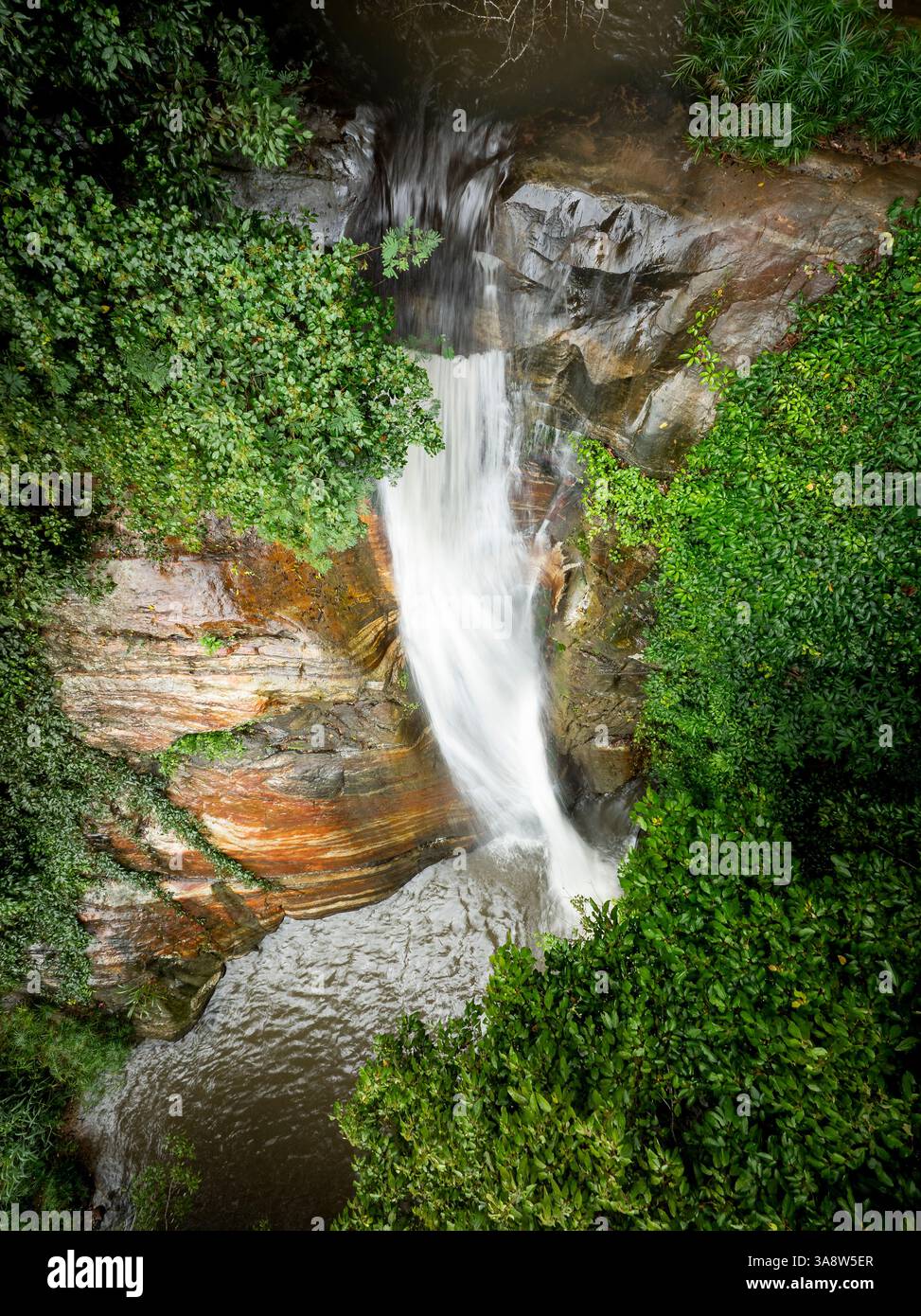 The image captures the Secret Waterfall in Illukpelessa, Sri Lanka, surrounded by dense tropical greenery. Water cascades over rugged rocks into a tra Stock Photohttps://www.alamy.com/image-license-details/?v=1https://www.alamy.com/the-image-captures-the-secret-waterfall-in-illukpelessa-sri-lanka-surrounded-by-dense-tropical-greenery-water-cascades-over-rugged-rocks-into-a-tra-image659464367.html
RF3A8W5ER–The image captures the Secret Waterfall in Illukpelessa, Sri Lanka, surrounded by dense tropical greenery. Water cascades over rugged rocks into a tra
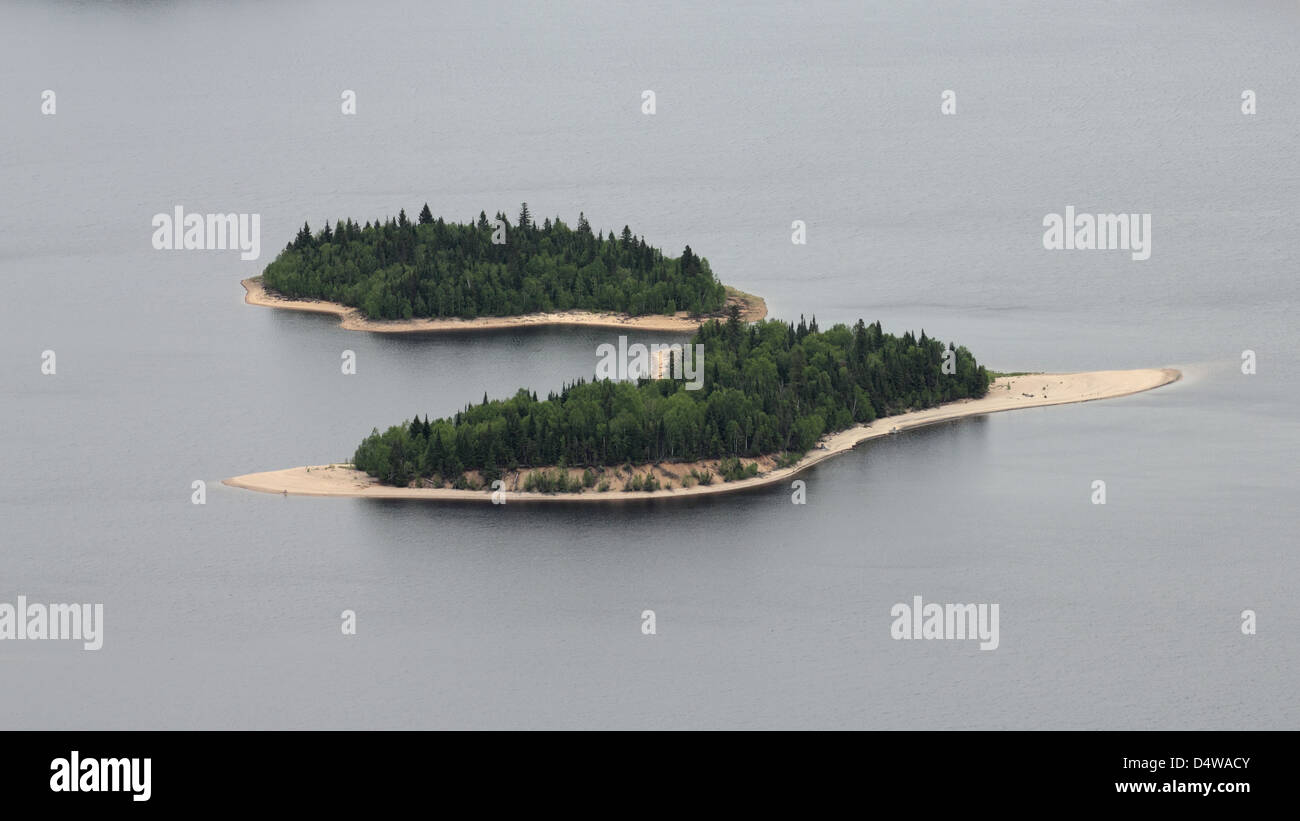 aerial wild islands Stock Photohttps://www.alamy.com/image-license-details/?v=1https://www.alamy.com/stock-photo-aerial-wild-islands-54646731.html
RFD4WACY–aerial wild islands
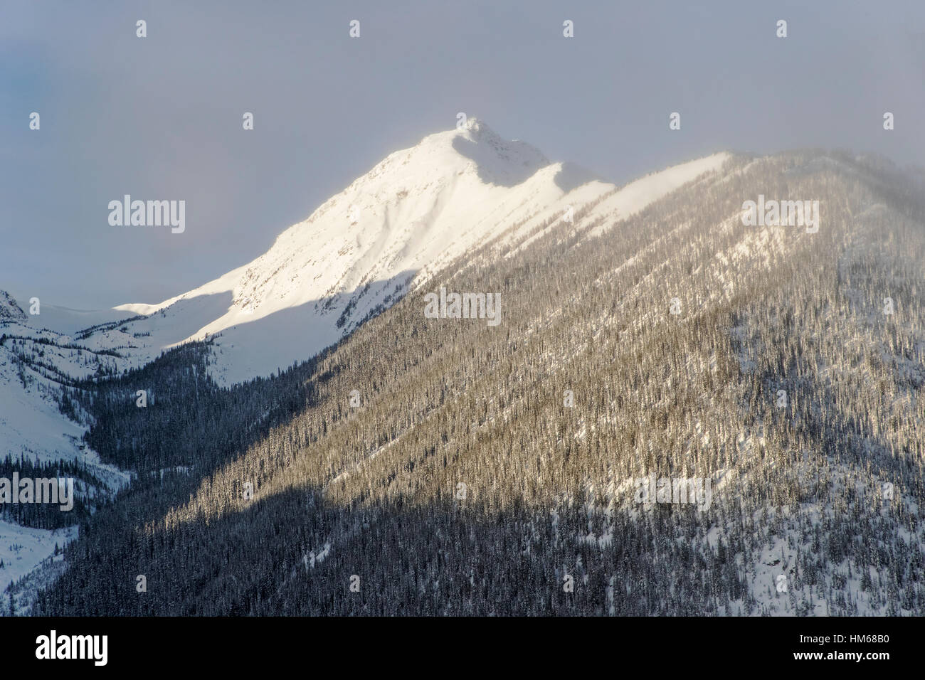 Aerial winter view of Esplanade Range; sub-range of Selkirk Range; British Columbia; Canada Stock Photohttps://www.alamy.com/image-license-details/?v=1https://www.alamy.com/stock-photo-aerial-winter-view-of-esplanade-range-sub-range-of-selkirk-range-british-132903988.html
RMHM68B0–Aerial winter view of Esplanade Range; sub-range of Selkirk Range; British Columbia; Canada
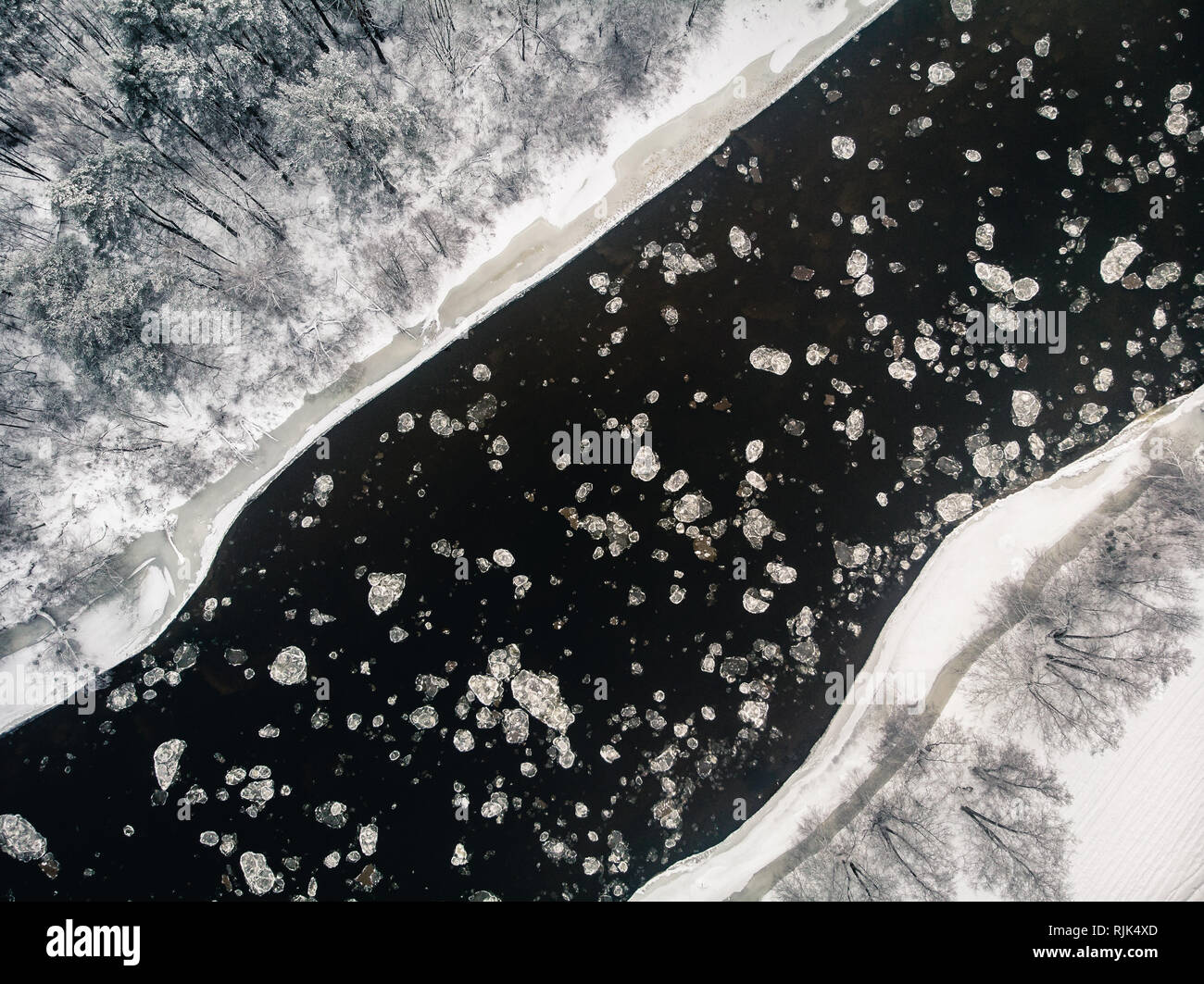 Birds eye view of freezing river and snowy forest from drone Stock Photohttps://www.alamy.com/image-license-details/?v=1https://www.alamy.com/birds-eye-view-of-freezing-river-and-snowy-forest-from-drone-image235219557.html
RFRJK4XD–Birds eye view of freezing river and snowy forest from drone
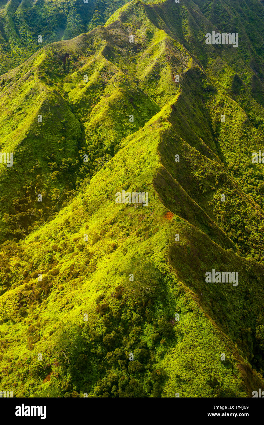 Hawaii, Kauai, Aerial of the Na Pali Coast, Na Pali Coast State Wilderness Park Stock Photohttps://www.alamy.com/image-license-details/?v=1https://www.alamy.com/hawaii-kauai-aerial-of-the-na-pali-coast-na-pali-coast-state-wilderness-park-image257028305.html
RFTX4J69–Hawaii, Kauai, Aerial of the Na Pali Coast, Na Pali Coast State Wilderness Park
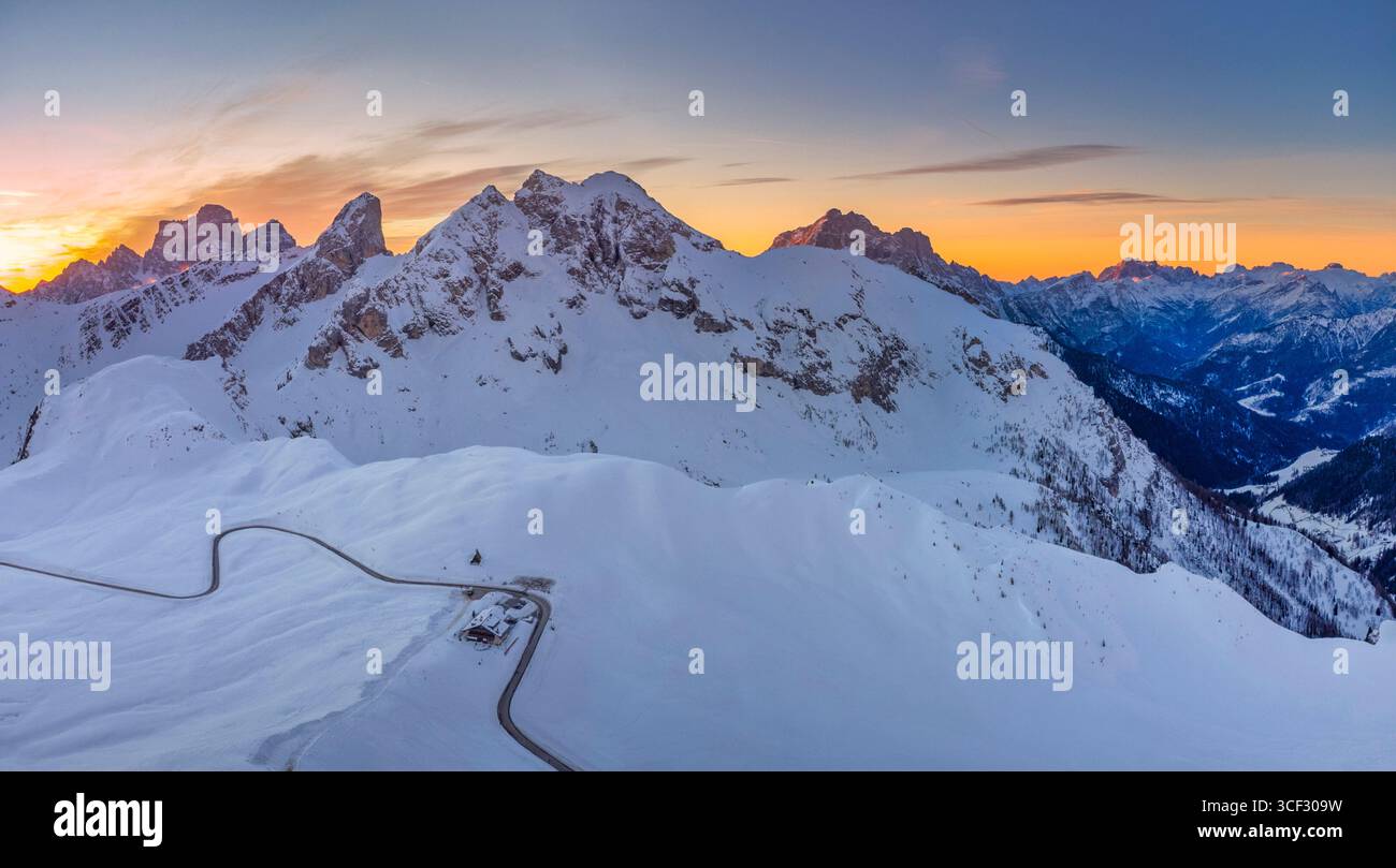 Aerial winter view over Passo Giau with Monte Cernera in the center, Monte Pelmo in the background to the left, and Monte Civetta to the right. The winding pass road and a mountain refuge are visible among the snow-covered alpine slopes. Dolomites, Colle Santa Lucia municipality, Belluno province, Veneto region, Italy Stock Photohttps://www.alamy.com/image-license-details/?v=1https://www.alamy.com/aerial-winter-view-over-passo-giau-with-monte-cernera-in-the-center-monte-pelmo-in-the-background-to-the-left-and-monte-civetta-to-the-right-the-winding-pass-road-and-a-mountain-refuge-are-visible-among-the-snow-covered-alpine-slopes-dolomites-colle-santa-lucia-municipality-belluno-province-veneto-region-italy-image697700693.html
RM3CF309W–Aerial winter view over Passo Giau with Monte Cernera in the center, Monte Pelmo in the background to the left, and Monte Civetta to the right. The winding pass road and a mountain refuge are visible among the snow-covered alpine slopes. Dolomites, Colle Santa Lucia municipality, Belluno province, Veneto region, Italy
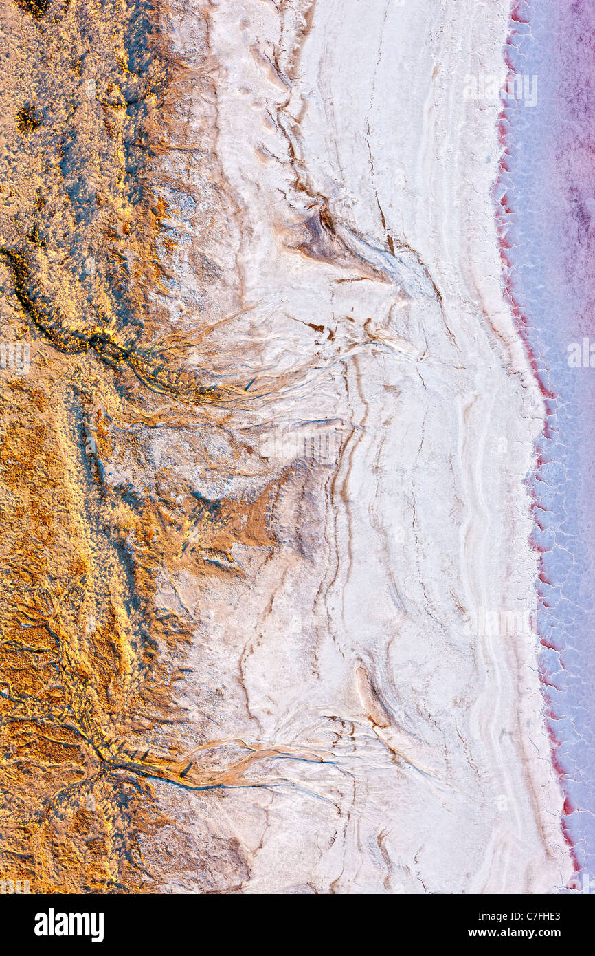 Low altitude aerial photo of shore line of Lake Eyre South, outback South Australia. Stock Photohttps://www.alamy.com/image-license-details/?v=1https://www.alamy.com/stock-photo-low-altitude-aerial-photo-of-shore-line-of-lake-eyre-south-outback-39066331.html
RMC7FHE3–Low altitude aerial photo of shore line of Lake Eyre South, outback South Australia.
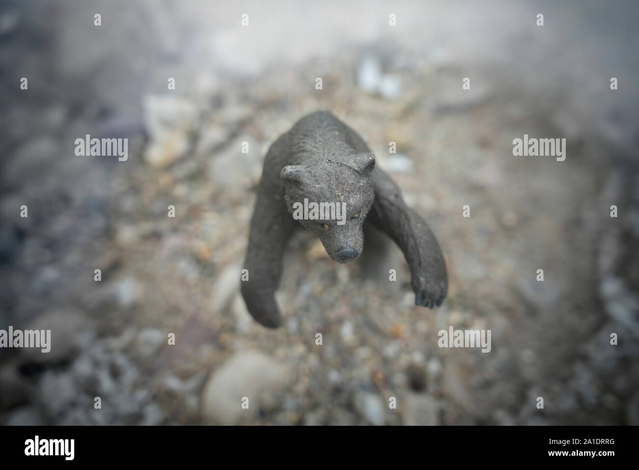 miniature model of a bear, birds eye view Stock Photohttps://www.alamy.com/image-license-details/?v=1https://www.alamy.com/miniature-model-of-a-bear-birds-eye-view-image327915716.html
RM2A1DRRG–miniature model of a bear, birds eye view
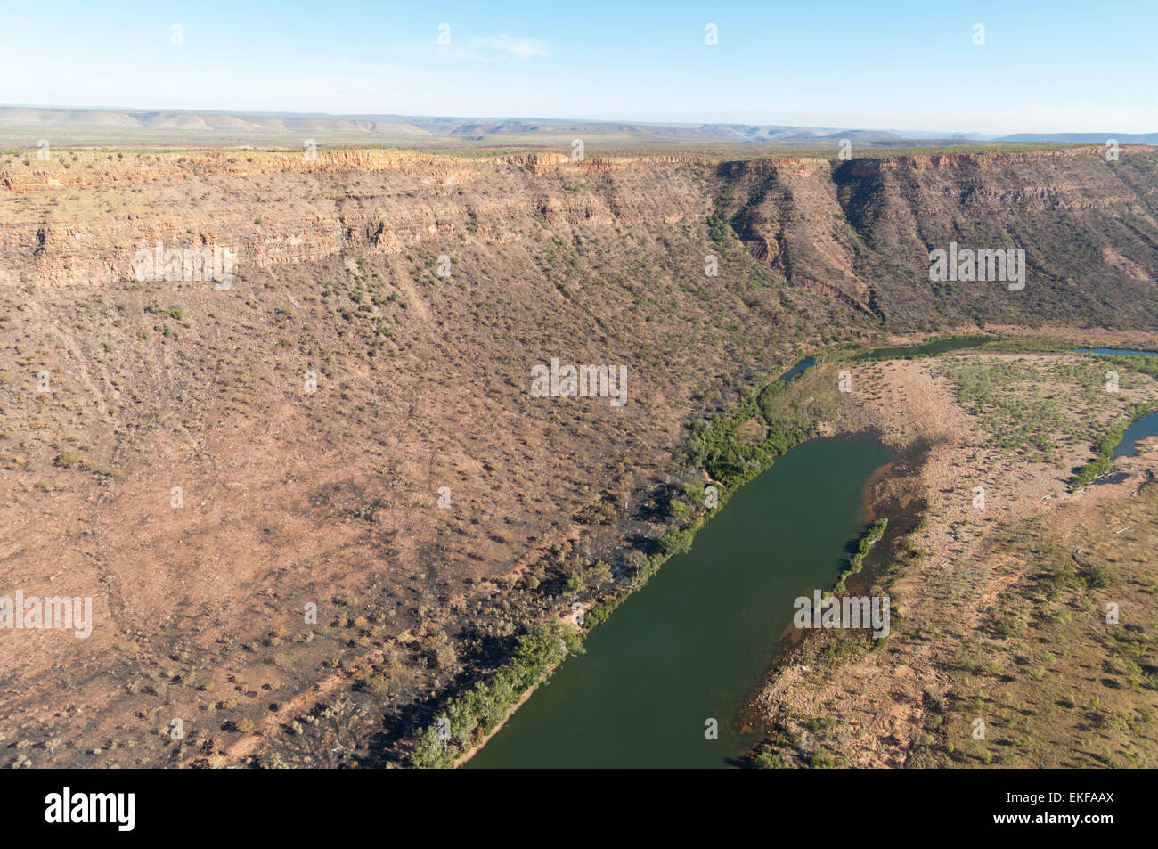 Aerial view of El Questro Wilderness Park, Kimberley Region, Western Australia, WA, Australia Stock Photohttps://www.alamy.com/image-license-details/?v=1https://www.alamy.com/stock-photo-aerial-view-of-el-questro-wilderness-park-kimberley-region-western-80857362.html
RMEKFAAX–Aerial view of El Questro Wilderness Park, Kimberley Region, Western Australia, WA, Australia
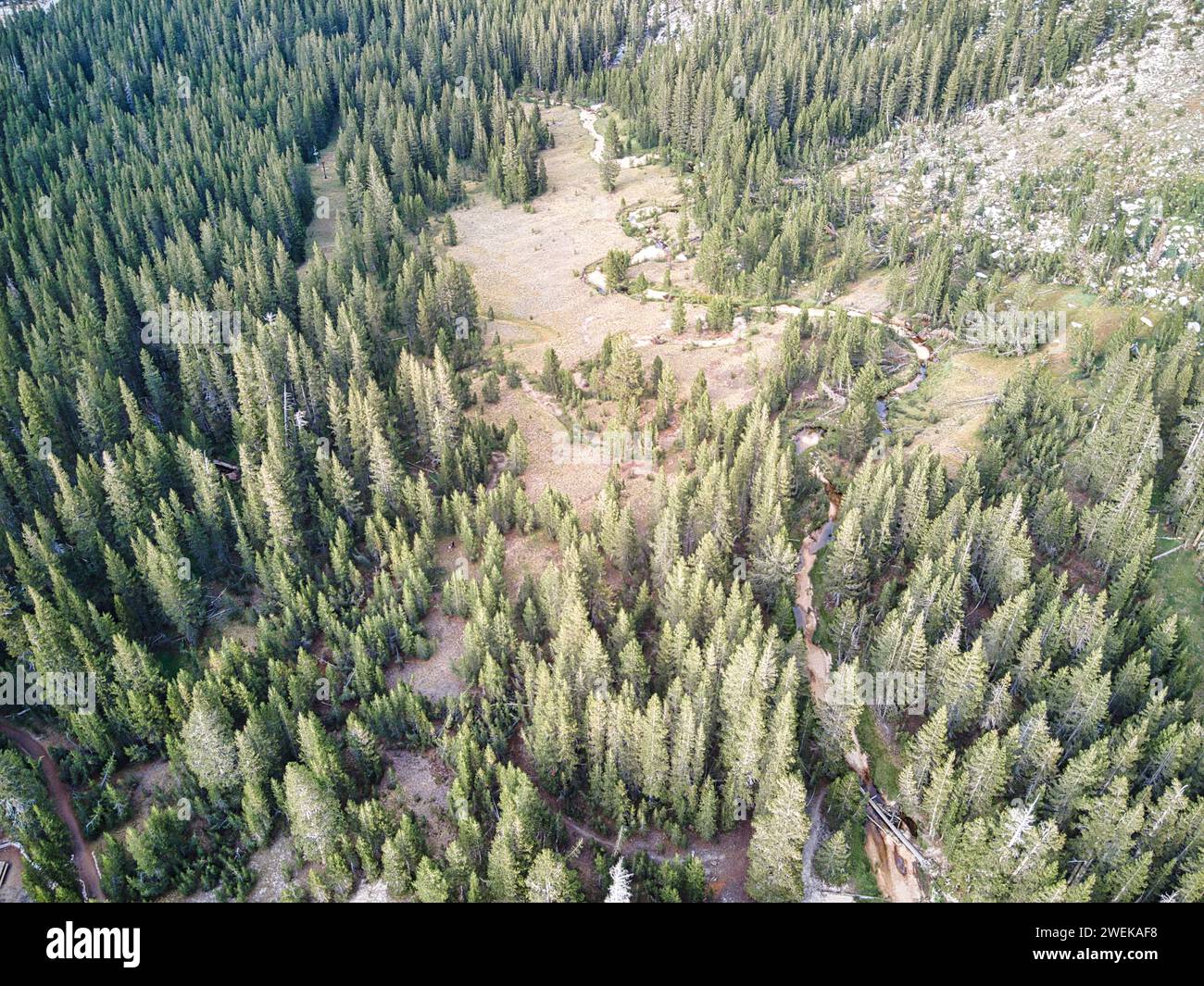 Bird's eye view of a wilderness valley Stock Photohttps://www.alamy.com/image-license-details/?v=1https://www.alamy.com/birds-eye-view-of-a-wilderness-valley-image594183052.html
RF2WEKAF8–Bird's eye view of a wilderness valley
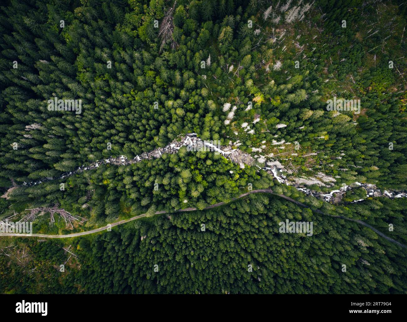 Aerial photo of green forest with curved mountain river by drone from very high altitude. Top view of peaceful forest in summer time Stock Photohttps://www.alamy.com/image-license-details/?v=1https://www.alamy.com/aerial-photo-of-green-forest-with-curved-mountain-river-by-drone-from-very-high-altitude-top-view-of-peaceful-forest-in-summer-time-image565644692.html
RF2RT79G4–Aerial photo of green forest with curved mountain river by drone from very high altitude. Top view of peaceful forest in summer time
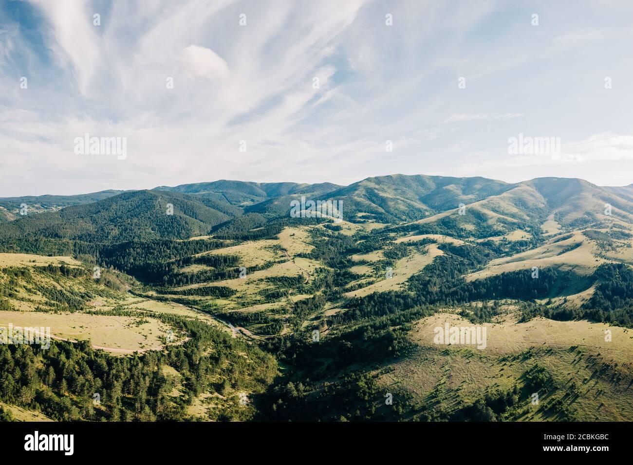 Aerial view of a beautiful mountain range of Zlatibor, Serbia Stock Photohttps://www.alamy.com/image-license-details/?v=1https://www.alamy.com/aerial-view-of-a-beautiful-mountain-range-of-zlatibor-serbia-image368608896.html
RF2CBKGBC–Aerial view of a beautiful mountain range of Zlatibor, Serbia
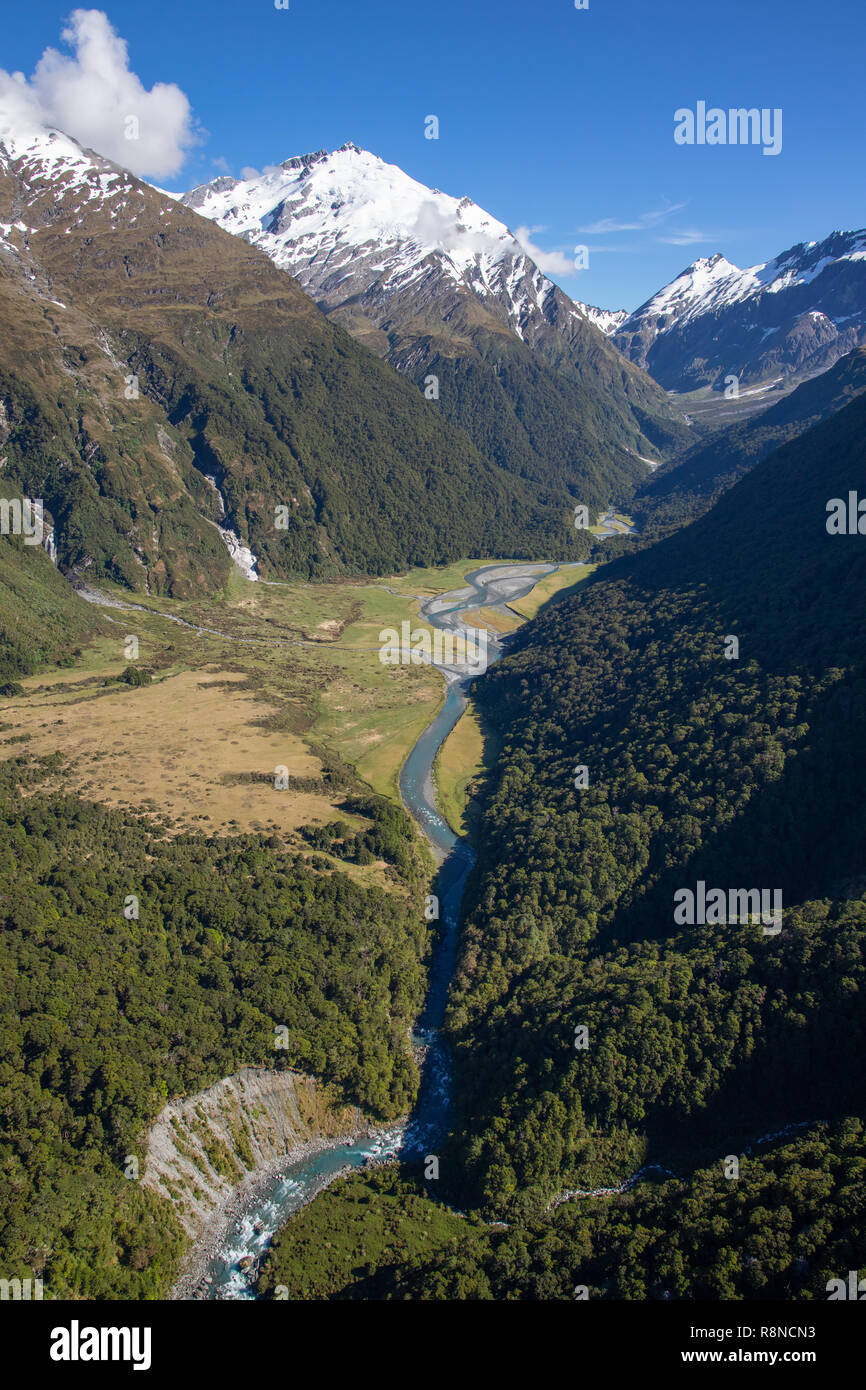 Aerial of Mt Aspiring National Park, South Island, New Zealand Stock Photohttps://www.alamy.com/image-license-details/?v=1https://www.alamy.com/aerial-of-mt-aspiring-national-park-south-island-new-zealand-image229123023.html
RMR8NCN3–Aerial of Mt Aspiring National Park, South Island, New Zealand
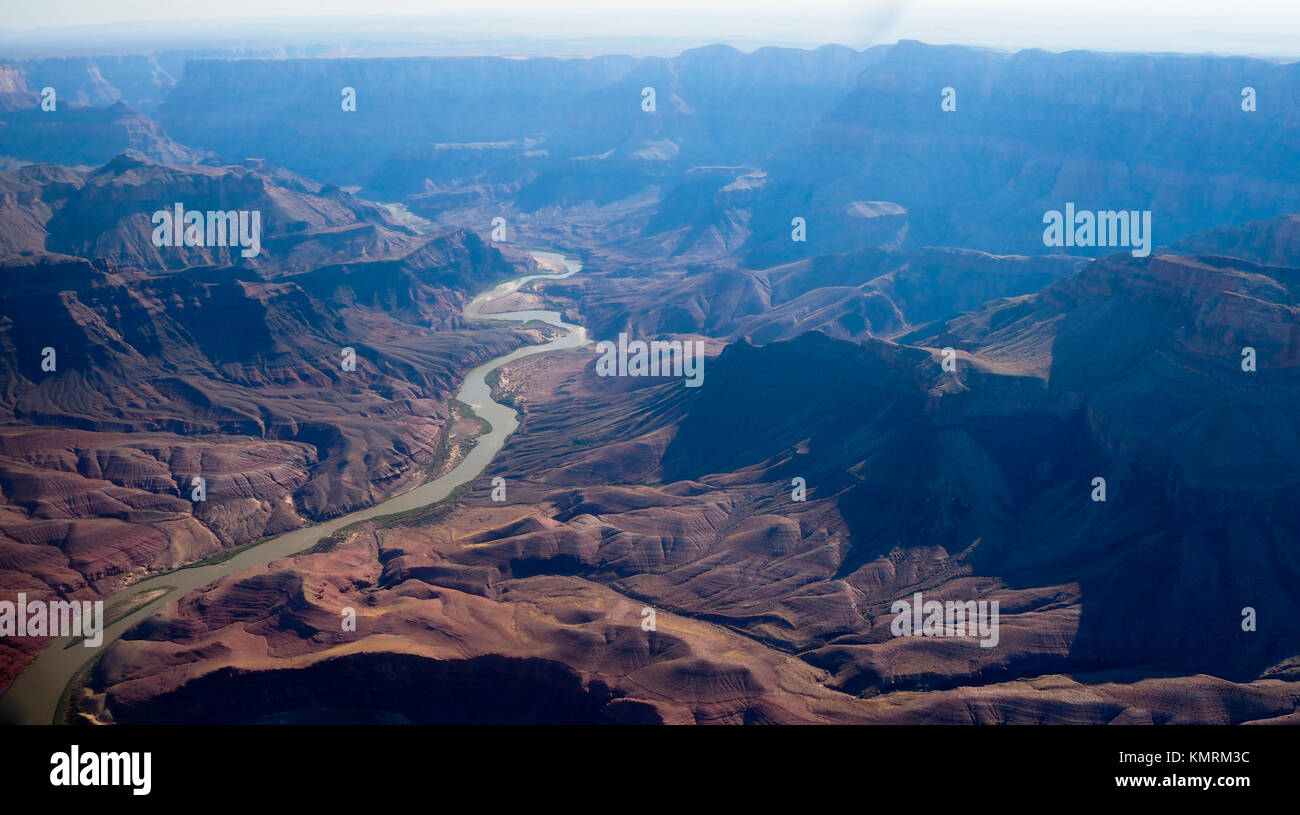 Aerial view from the Grand Canyon National Park and Colorado River Stock Photohttps://www.alamy.com/image-license-details/?v=1https://www.alamy.com/stock-image-aerial-view-from-the-grand-canyon-national-park-and-colorado-river-167707104.html
RFKMRM3C–Aerial view from the Grand Canyon National Park and Colorado River
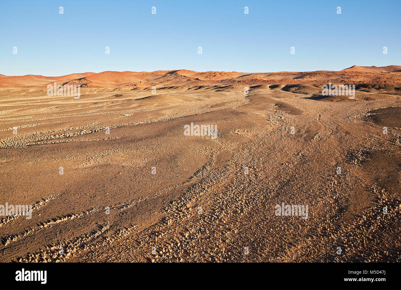 Aerial photo, view from hot air balloon, Tsaris mountains, Kulala Wilderness Reserve, Namib Desert, Hardap Region, Namibia Stock Photohttps://www.alamy.com/image-license-details/?v=1https://www.alamy.com/stock-photo-aerial-photo-view-from-hot-air-balloon-tsaris-mountains-kulala-wilderness-175465686.html
RFM5D47J–Aerial photo, view from hot air balloon, Tsaris mountains, Kulala Wilderness Reserve, Namib Desert, Hardap Region, Namibia
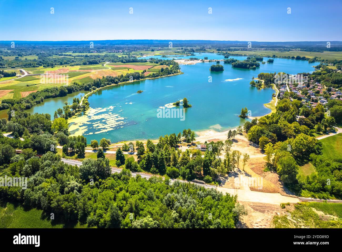 Soderica lake in Podravina region aerial summer view Stock Photohttps://www.alamy.com/image-license-details/?v=1https://www.alamy.com/soderica-lake-in-podravina-region-aerial-summer-view-image627855689.html
RF2YDD89D–Soderica lake in Podravina region aerial summer view
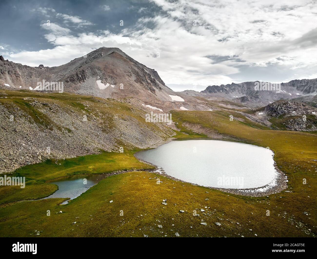 Beautiful scenery of the mountain lakes on the border Kazakhstan and Kyrgyzstan. Aerial shot on the drone Stock Photohttps://www.alamy.com/image-license-details/?v=1https://www.alamy.com/beautiful-scenery-of-the-mountain-lakes-on-the-border-kazakhstan-and-kyrgyzstan-aerial-shot-on-the-drone-image367934490.html
RF2CAGT5E–Beautiful scenery of the mountain lakes on the border Kazakhstan and Kyrgyzstan. Aerial shot on the drone
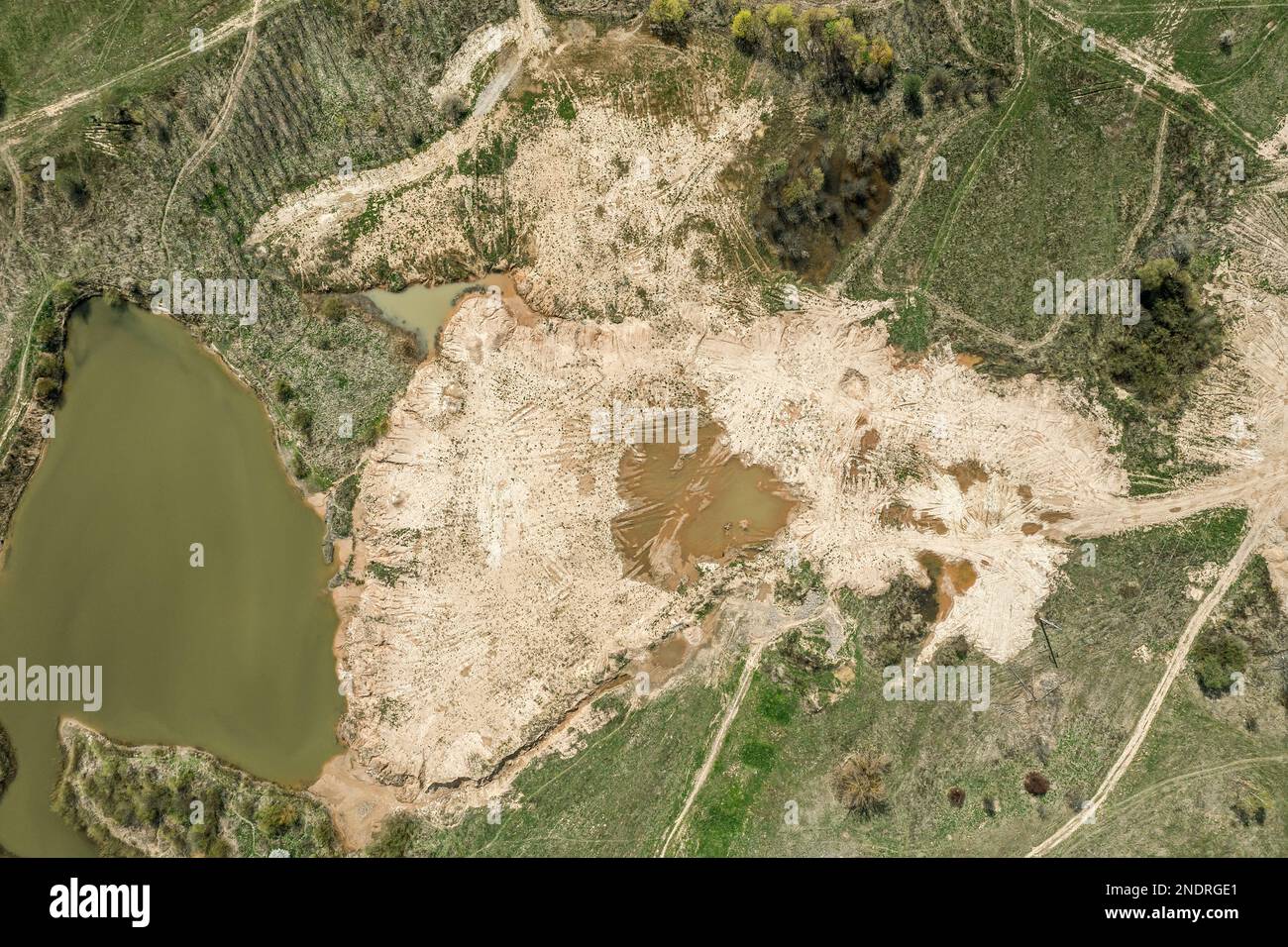 wild nature landscape in sunny spring day. aerial top view. Stock Photohttps://www.alamy.com/image-license-details/?v=1https://www.alamy.com/wild-nature-landscape-in-sunny-spring-day-aerial-top-view-image524819401.html
RF2NDRGE1–wild nature landscape in sunny spring day. aerial top view.
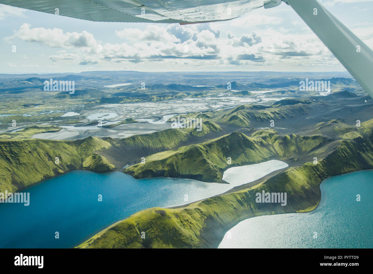 aerial landscape of nature in Iceland, volcanic mountains and lakes in highlands from small airplane Stock Photohttps://www.alamy.com/image-license-details/?v=1https://www.alamy.com/aerial-landscape-of-nature-in-iceland-volcanic-mountains-and-lakes-in-highlands-from-small-airplane-image223666165.html
RFPYTTD9–aerial landscape of nature in Iceland, volcanic mountains and lakes in highlands from small airplane
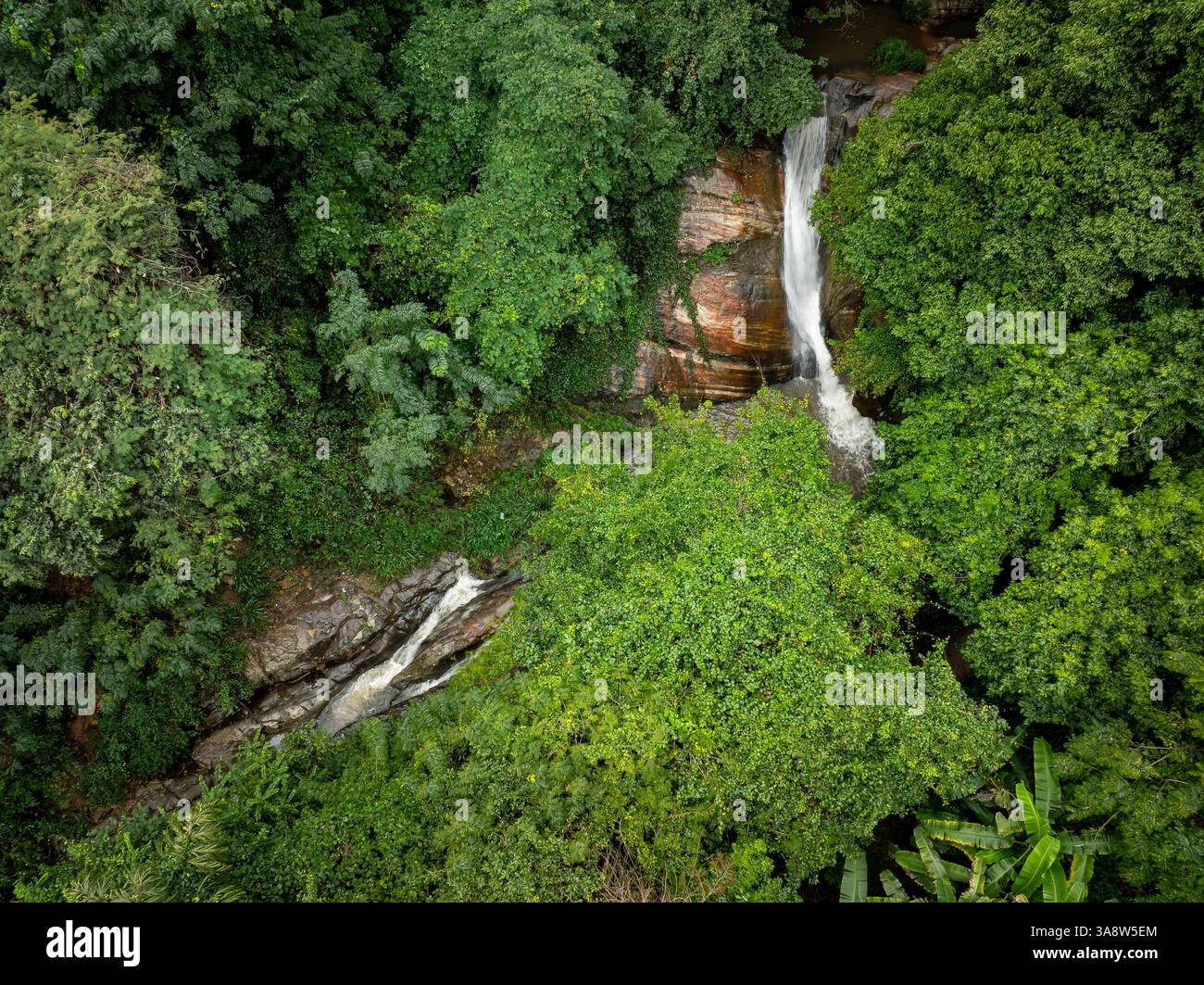 The image captures the Secret Waterfall in Illukpelessa, Sri Lanka, surrounded by dense tropical greenery. Water cascades over rugged rocks into a tra Stock Photohttps://www.alamy.com/image-license-details/?v=1https://www.alamy.com/the-image-captures-the-secret-waterfall-in-illukpelessa-sri-lanka-surrounded-by-dense-tropical-greenery-water-cascades-over-rugged-rocks-into-a-tra-image659464364.html
RF3A8W5EM–The image captures the Secret Waterfall in Illukpelessa, Sri Lanka, surrounded by dense tropical greenery. Water cascades over rugged rocks into a tra
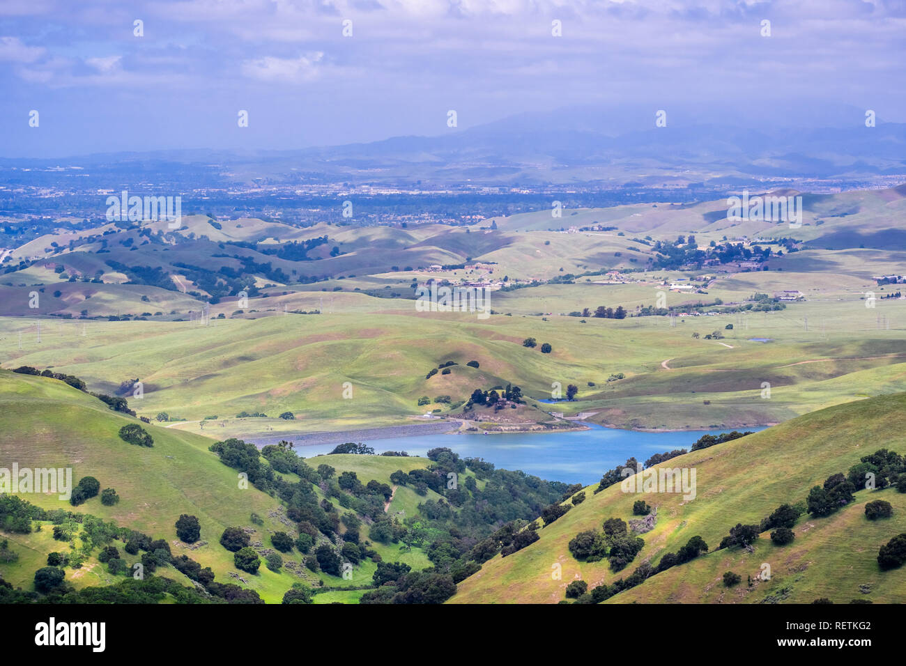 View towards San Antonio reservoir surrounded green hills; Pleasanton and Mt Diablo in the background, Alameda county, San Francisco bay area, Califor Stock Photohttps://www.alamy.com/image-license-details/?v=1https://www.alamy.com/view-towards-san-antonio-reservoir-surrounded-green-hills-pleasanton-and-mt-diablo-in-the-background-alameda-county-san-francisco-bay-area-califor-image232882162.html
RFRETKG2–View towards San Antonio reservoir surrounded green hills; Pleasanton and Mt Diablo in the background, Alameda county, San Francisco bay area, Califor
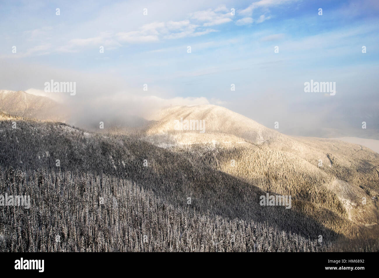 Aerial winter view of Esplanade Range; sub-range of Selkirk Range; British Columbia; Canada Stock Photohttps://www.alamy.com/image-license-details/?v=1https://www.alamy.com/stock-photo-aerial-winter-view-of-esplanade-range-sub-range-of-selkirk-range-british-132903934.html
RMHM6892–Aerial winter view of Esplanade Range; sub-range of Selkirk Range; British Columbia; Canada
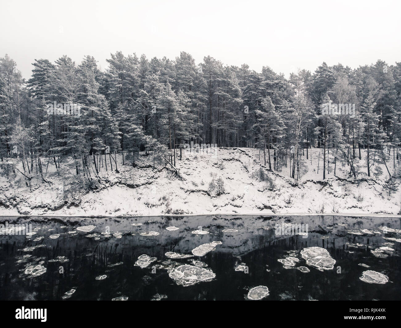 View to the snowy shore from the middle of freezing river with reflections of the forest in water Stock Photohttps://www.alamy.com/image-license-details/?v=1https://www.alamy.com/view-to-the-snowy-shore-from-the-middle-of-freezing-river-with-reflections-of-the-forest-in-water-image235219563.html
RFRJK4XK–View to the snowy shore from the middle of freezing river with reflections of the forest in water
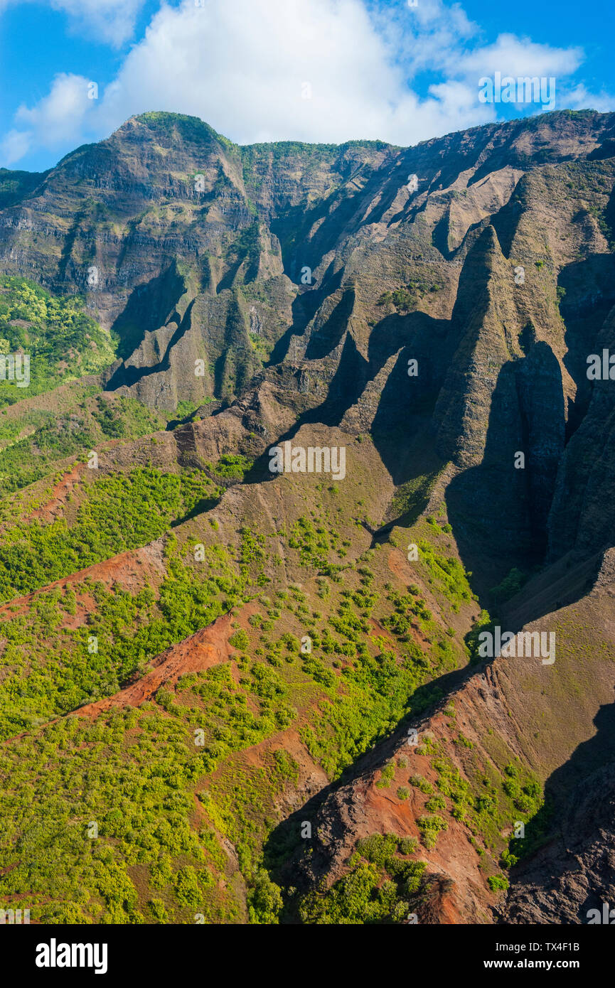 Hawaii, Kauai, Aerial of the Na Pali Coast, Na Pali Coast State Wilderness Park Stock Photohttps://www.alamy.com/image-license-details/?v=1https://www.alamy.com/hawaii-kauai-aerial-of-the-na-pali-coast-na-pali-coast-state-wilderness-park-image257025815.html
RFTX4F1B–Hawaii, Kauai, Aerial of the Na Pali Coast, Na Pali Coast State Wilderness Park
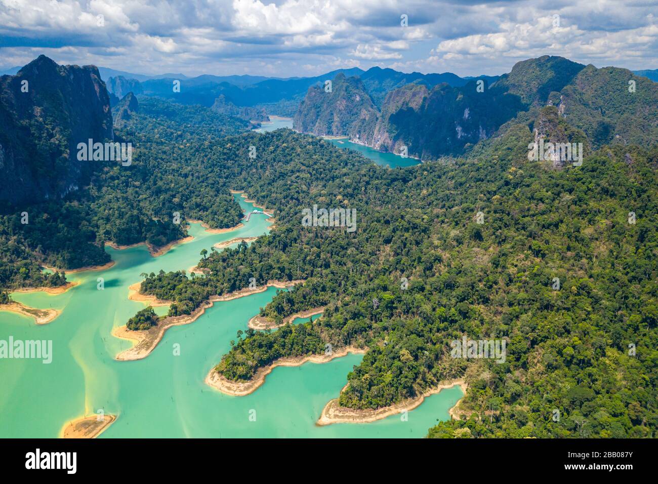 Aerial drone view of tropical rainforest and small islands on a huge lake surrounded by limestone cliffs (Cheow Lan, Khao Sok, Thailand) Stock Photohttps://www.alamy.com/image-license-details/?v=1https://www.alamy.com/aerial-drone-view-of-tropical-rainforest-and-small-islands-on-a-huge-lake-surrounded-by-limestone-cliffs-cheow-lan-khao-sok-thailand-image350975071.html
RF2BB087Y–Aerial drone view of tropical rainforest and small islands on a huge lake surrounded by limestone cliffs (Cheow Lan, Khao Sok, Thailand)
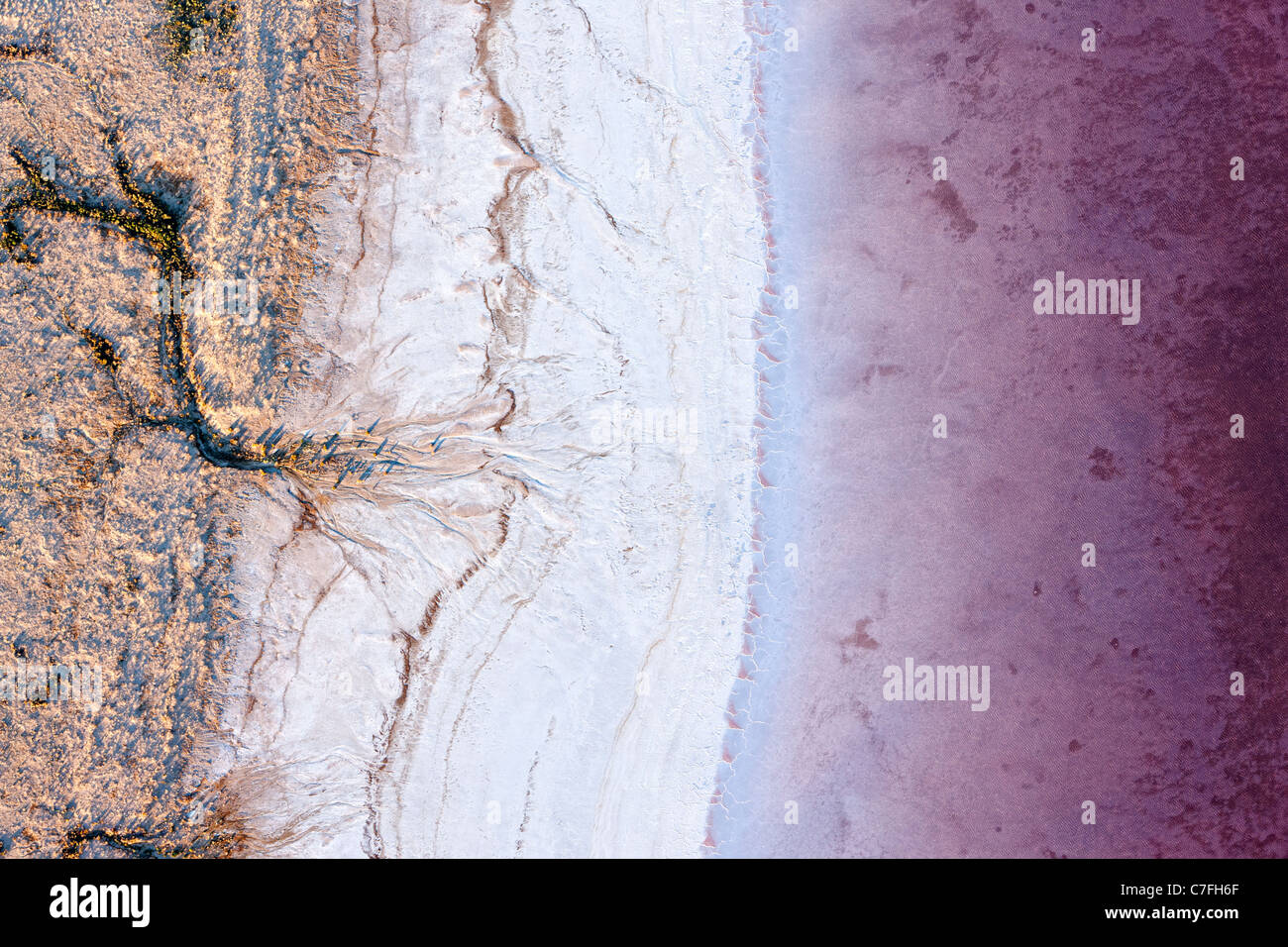 Low altitude aerial photo of shore line of Lake Eyre South, outback South Australia. Stock Photohttps://www.alamy.com/image-license-details/?v=1https://www.alamy.com/stock-photo-low-altitude-aerial-photo-of-shore-line-of-lake-eyre-south-outback-39066119.html
RMC7FH6F–Low altitude aerial photo of shore line of Lake Eyre South, outback South Australia.
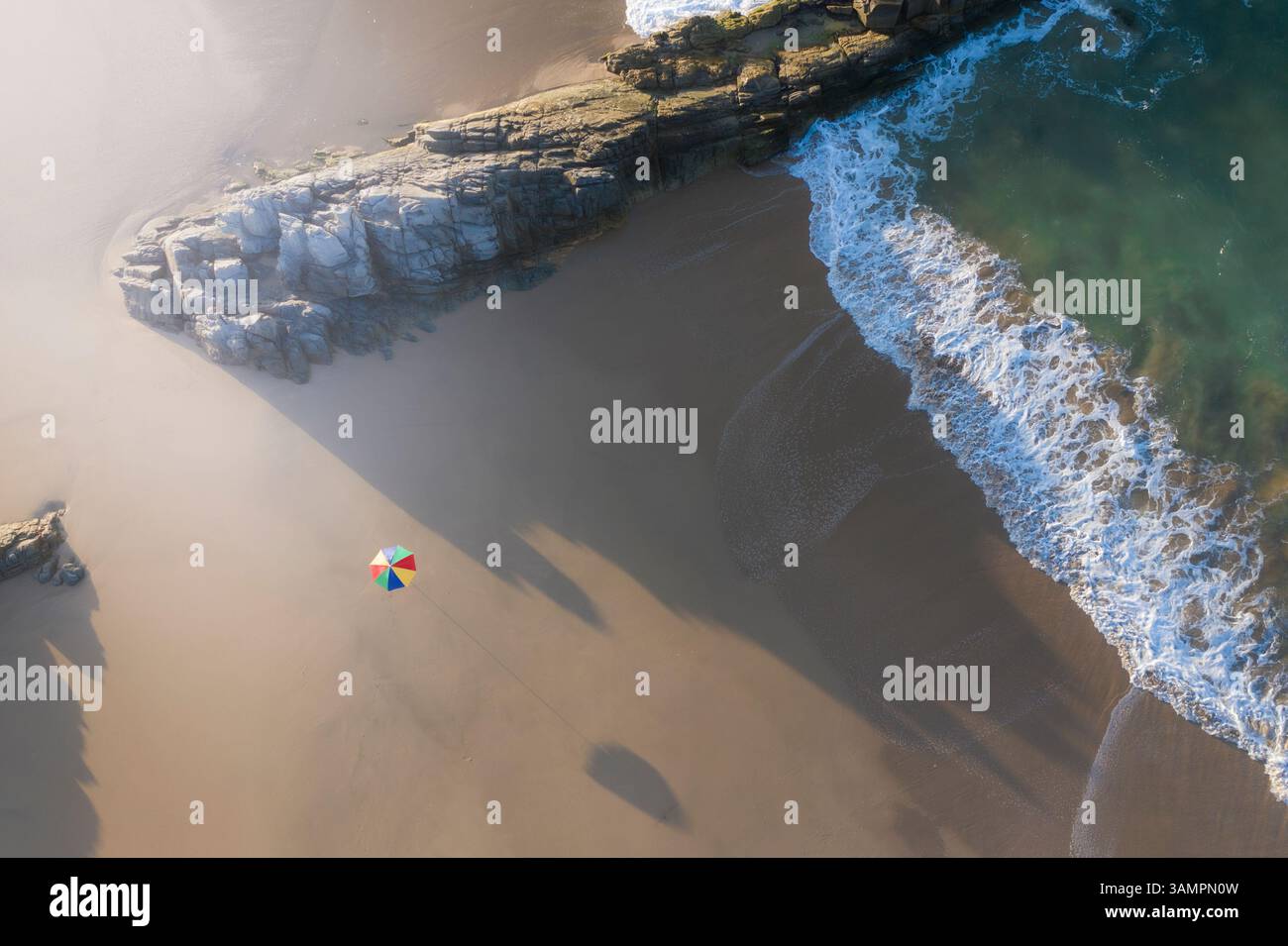 Aerial view of tranquil beach with umbrella, rocks, and clear water, Wilderness Beach, Western Cape, South Africa. Stock Photohttps://www.alamy.com/image-license-details/?v=1https://www.alamy.com/aerial-view-of-tranquil-beach-with-umbrella-rocks-and-clear-water-wilderness-beach-western-cape-south-africa-image666786537.html
RF3AMPN0W–Aerial view of tranquil beach with umbrella, rocks, and clear water, Wilderness Beach, Western Cape, South Africa.
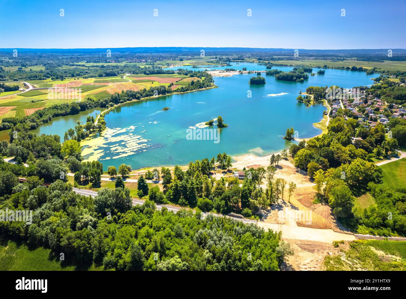 Soderica lake in Podravina region aerial summer view, northern Croatia Stock Photohttps://www.alamy.com/image-license-details/?v=1https://www.alamy.com/soderica-lake-in-podravina-region-aerial-summer-view-northern-croatia-image620580641.html
RF2Y1HTX9–Soderica lake in Podravina region aerial summer view, northern Croatia
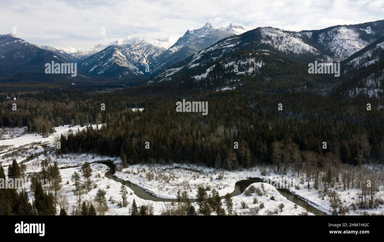 Bull River Valley and the Cabinet Mountains Wilderness in winter. Kootenai National Forest, northwest Montana. (Photo by Randy Beacham) Stock Photohttps://www.alamy.com/image-license-details/?v=1https://www.alamy.com/bull-river-valley-and-the-cabinet-mountains-wilderness-in-winter-kootenai-national-forest-northwest-montana-photo-by-randy-beacham-image459798428.html
RF2HM1HGC–Bull River Valley and the Cabinet Mountains Wilderness in winter. Kootenai National Forest, northwest Montana. (Photo by Randy Beacham)
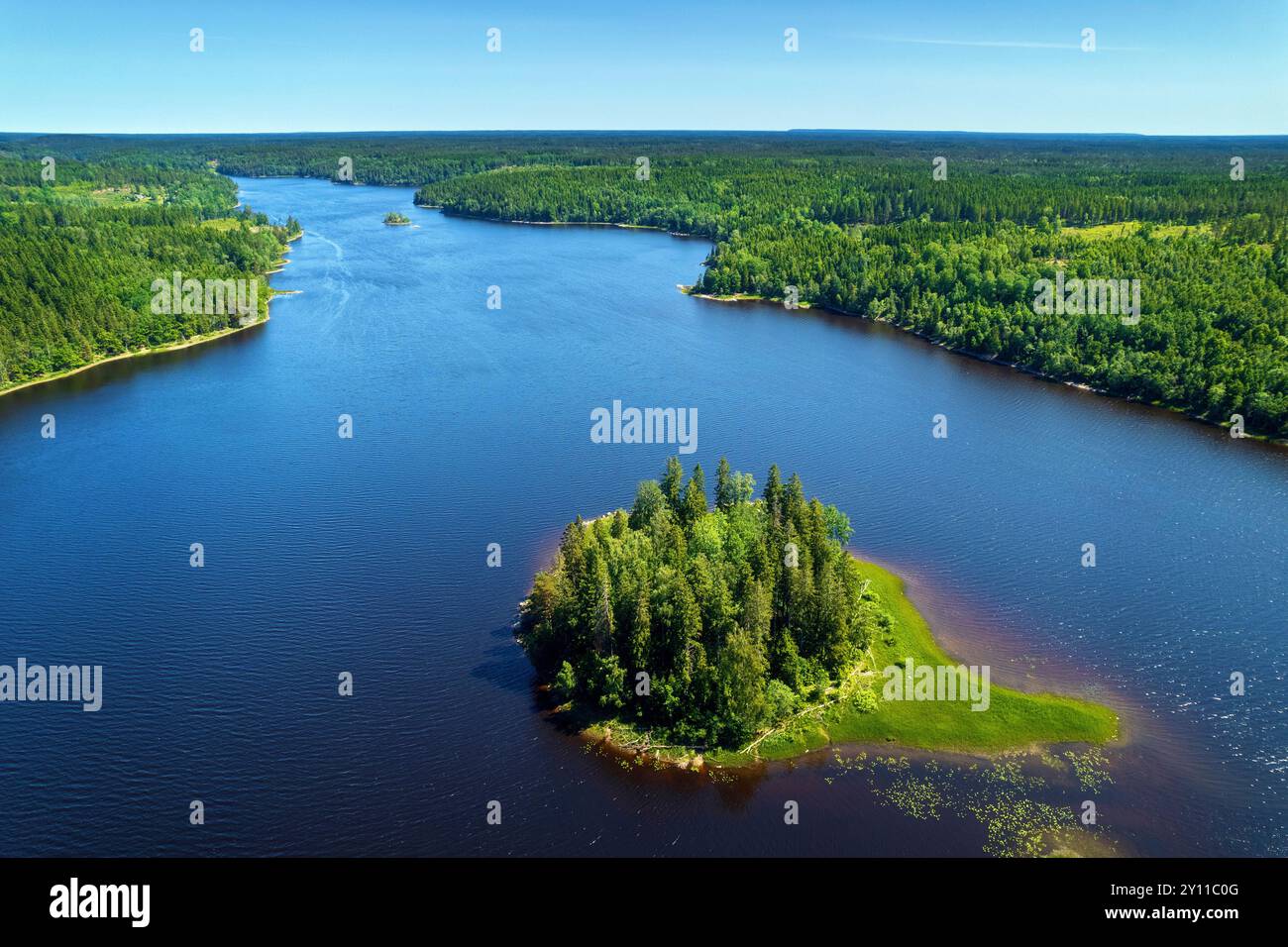 Summer, Aerial, Aerial, Forest, Lake, Island, Wilderness, Sweden, Europe Stock Photohttps://www.alamy.com/image-license-details/?v=1https://www.alamy.com/summer-aerial-aerial-forest-lake-island-wilderness-sweden-europe-image620219280.html
RM2Y11C0G–Summer, Aerial, Aerial, Forest, Lake, Island, Wilderness, Sweden, Europe
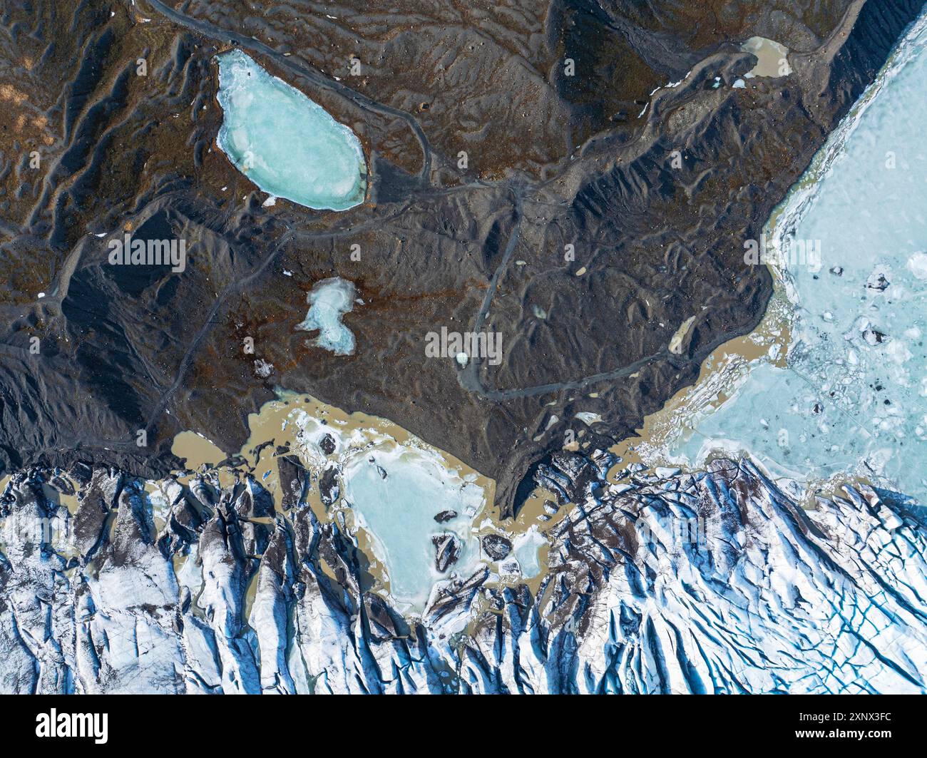 Aerial drone view of particular ice textures formed in the Svinafellsjokull glacier following global warming, Iceland, Polar Regions Stock Photohttps://www.alamy.com/image-license-details/?v=1https://www.alamy.com/aerial-drone-view-of-particular-ice-textures-formed-in-the-svinafellsjokull-glacier-following-global-warming-iceland-polar-regions-image615844192.html
RF2XNX3FC–Aerial drone view of particular ice textures formed in the Svinafellsjokull glacier following global warming, Iceland, Polar Regions
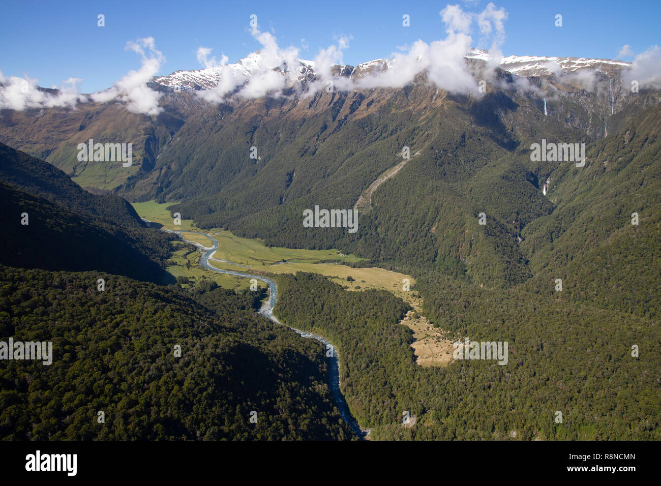 Aerial of Mt Aspiring National Park, South Island, New Zealand Stock Photohttps://www.alamy.com/image-license-details/?v=1https://www.alamy.com/aerial-of-mt-aspiring-national-park-south-island-new-zealand-image229123013.html
RMR8NCMN–Aerial of Mt Aspiring National Park, South Island, New Zealand
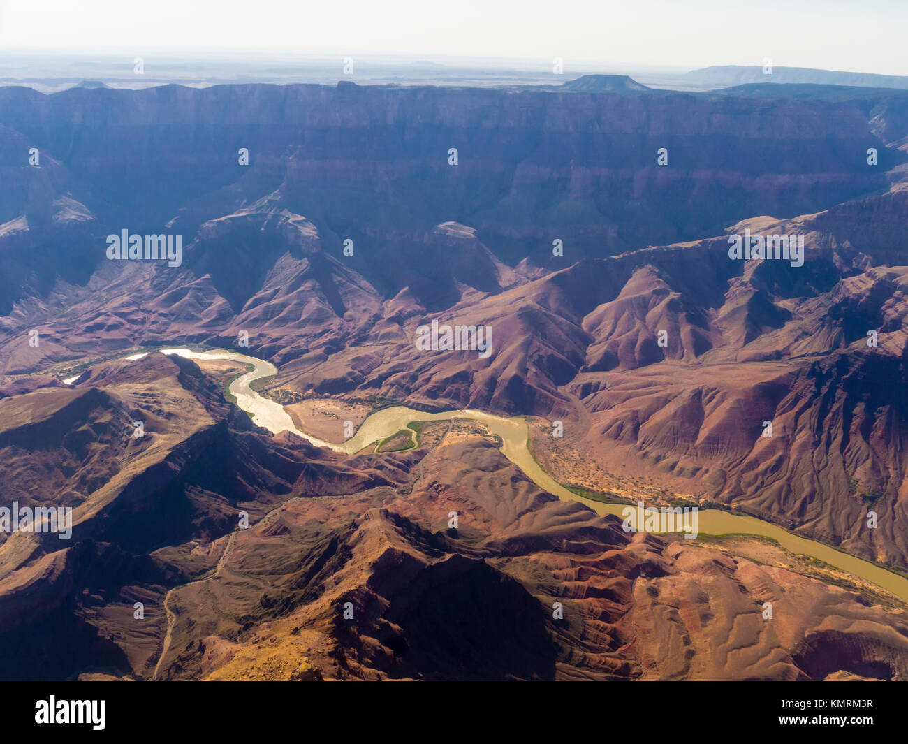 Aerial view from the Grand Canyon National Park and Colorado River Stock Photohttps://www.alamy.com/image-license-details/?v=1https://www.alamy.com/stock-image-aerial-view-from-the-grand-canyon-national-park-and-colorado-river-167707115.html
RFKMRM3R–Aerial view from the Grand Canyon National Park and Colorado River
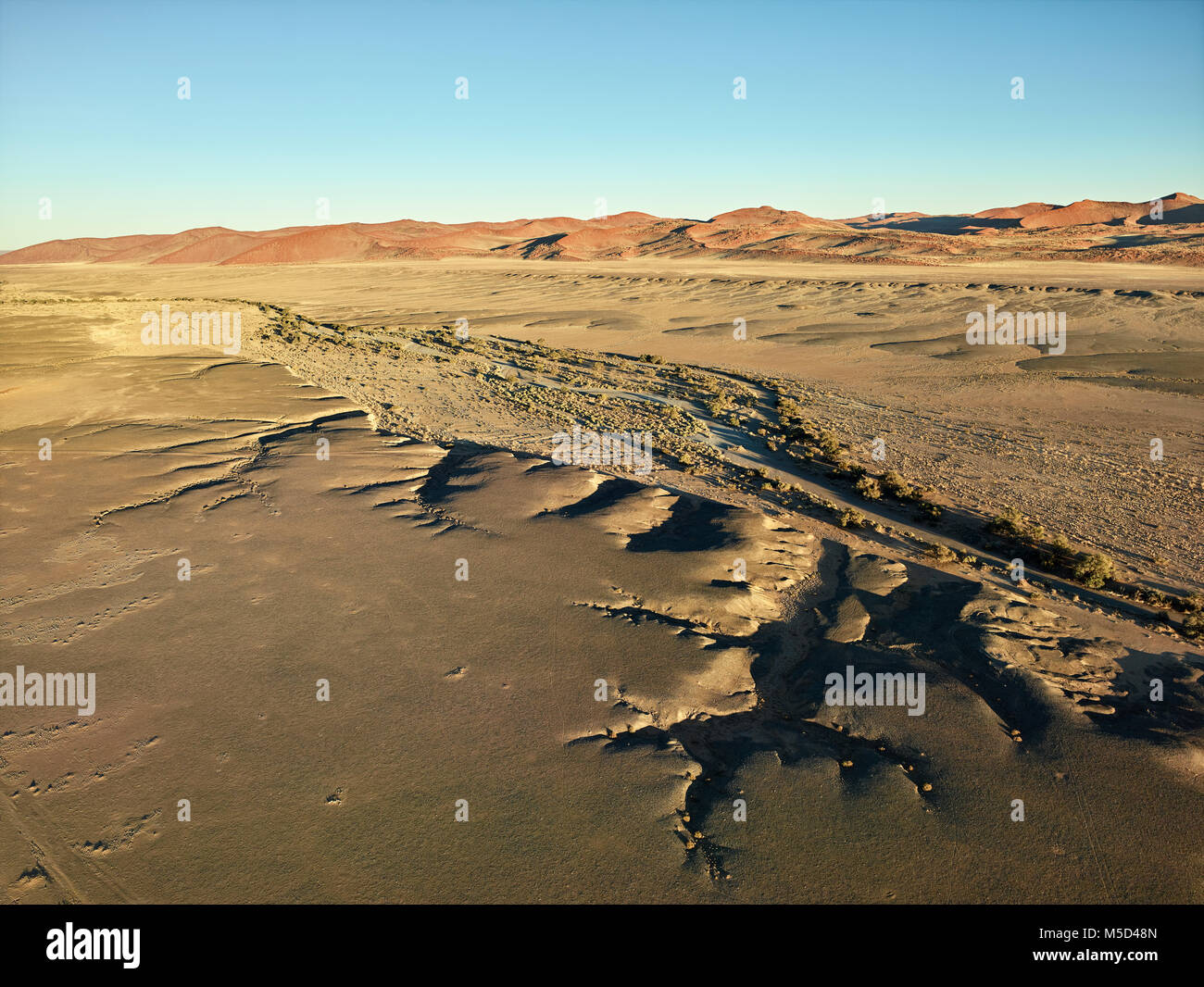 Aerial photo, view from hot air balloon, Tsaris mountains, Kulala Wilderness Reserve, Namib Desert, Hardap Region, Namibia Stock Photohttps://www.alamy.com/image-license-details/?v=1https://www.alamy.com/stock-photo-aerial-photo-view-from-hot-air-balloon-tsaris-mountains-kulala-wilderness-175465717.html
RFM5D48N–Aerial photo, view from hot air balloon, Tsaris mountains, Kulala Wilderness Reserve, Namib Desert, Hardap Region, Namibia
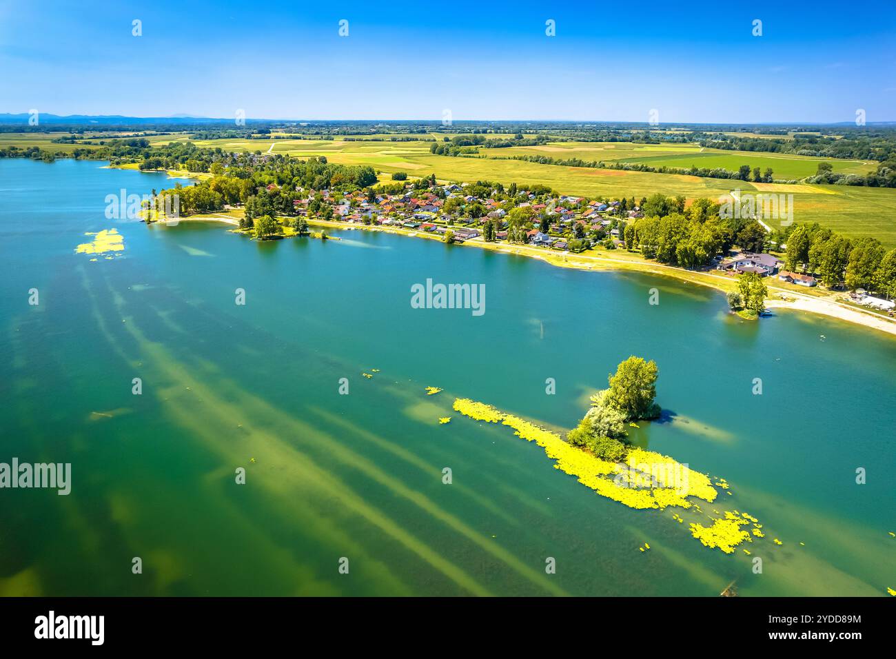 Soderica lake in Podravina region aerial summer view Stock Photohttps://www.alamy.com/image-license-details/?v=1https://www.alamy.com/soderica-lake-in-podravina-region-aerial-summer-view-image627855696.html
RF2YDD89M–Soderica lake in Podravina region aerial summer view
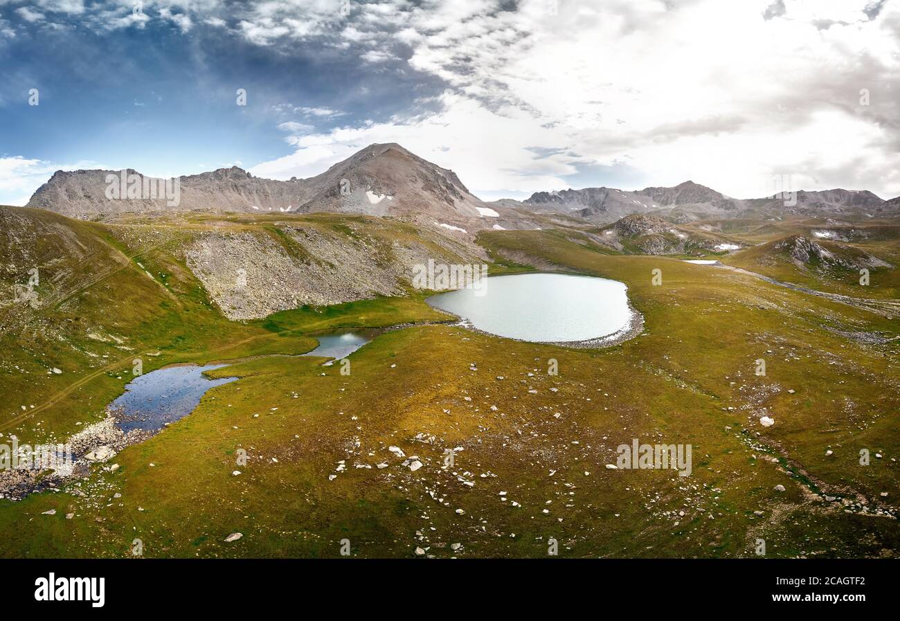 Beautiful scenery of the mountain lakes on the border Kazakhstan and Kyrgyzstan. Aerial shot on the drone Stock Photohttps://www.alamy.com/image-license-details/?v=1https://www.alamy.com/beautiful-scenery-of-the-mountain-lakes-on-the-border-kazakhstan-and-kyrgyzstan-aerial-shot-on-the-drone-image367934758.html
RF2CAGTF2–Beautiful scenery of the mountain lakes on the border Kazakhstan and Kyrgyzstan. Aerial shot on the drone
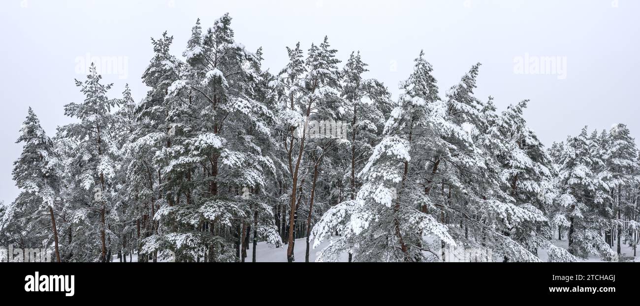 beautiful winter landscape with snow covered trees. panoramic aerial photography with drone. Stock Photohttps://www.alamy.com/image-license-details/?v=1https://www.alamy.com/beautiful-winter-landscape-with-snow-covered-trees-panoramic-aerial-photography-with-drone-image575699506.html
RF2TCHAGJ–beautiful winter landscape with snow covered trees. panoramic aerial photography with drone.
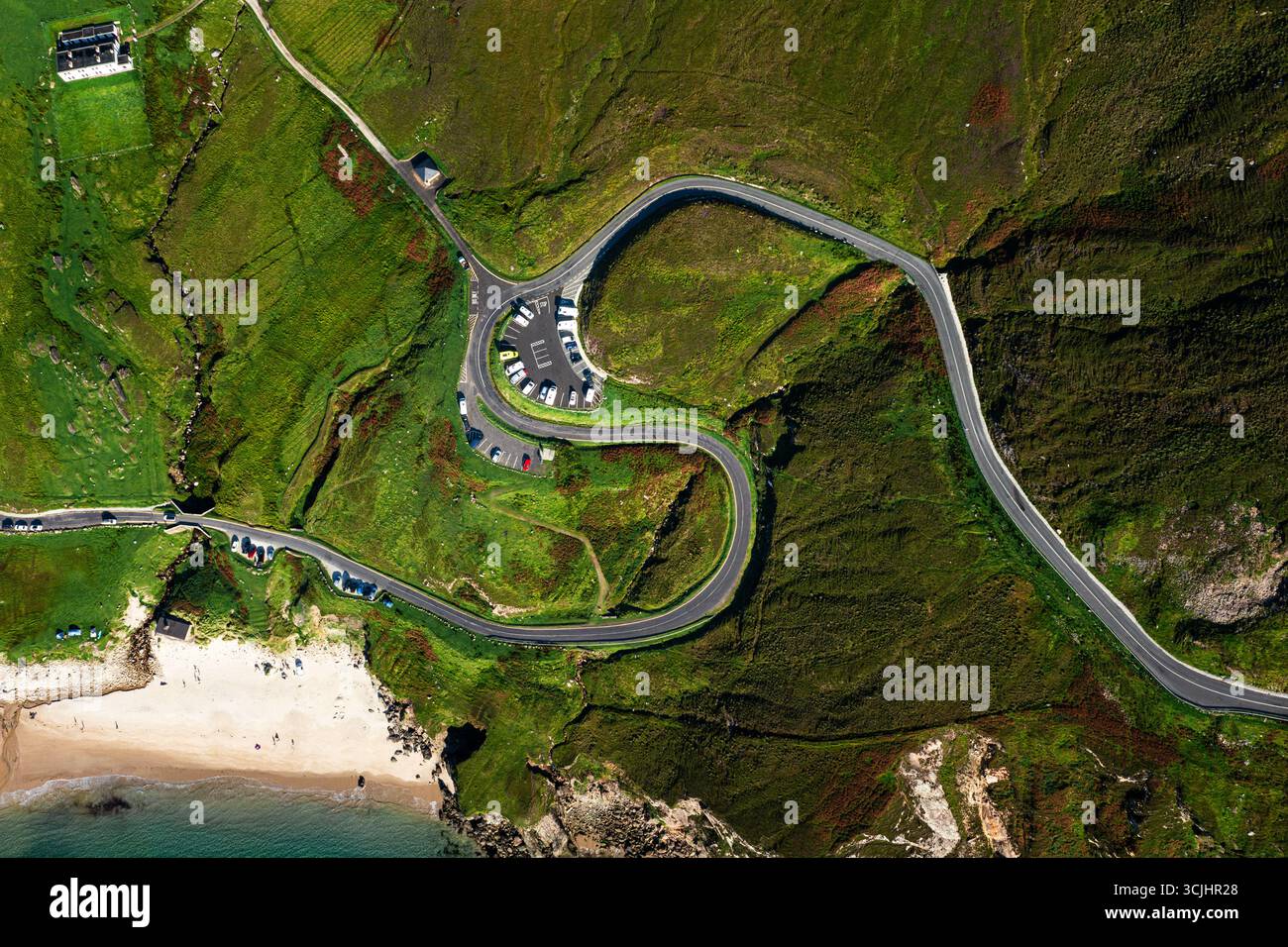 Aerial top down view of winding S shaped road and parking lot at Keem Beach on Achill Island in Ireland Stock Photohttps://www.alamy.com/image-license-details/?v=1https://www.alamy.com/aerial-top-down-view-of-winding-s-shaped-road-and-parking-lot-at-keem-beach-on-achill-island-in-ireland-image699869808.html
RF3CJHR28–Aerial top down view of winding S shaped road and parking lot at Keem Beach on Achill Island in Ireland
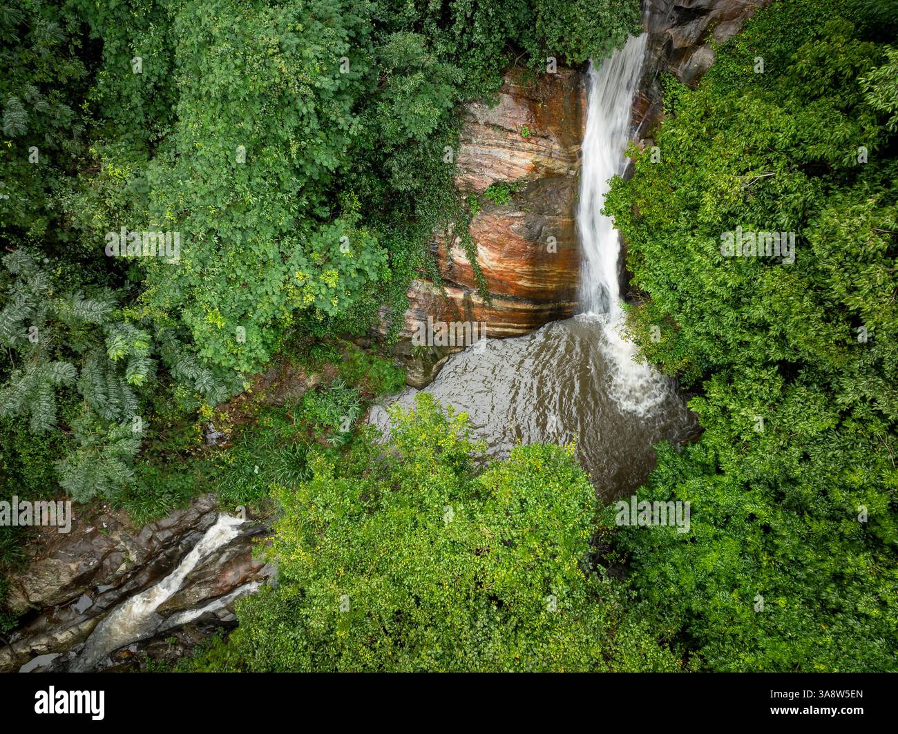 The image captures the Secret Waterfall in Illukpelessa, Sri Lanka, surrounded by dense tropical greenery. Water cascades over rugged rocks into a tra Stock Photohttps://www.alamy.com/image-license-details/?v=1https://www.alamy.com/the-image-captures-the-secret-waterfall-in-illukpelessa-sri-lanka-surrounded-by-dense-tropical-greenery-water-cascades-over-rugged-rocks-into-a-tra-image659464365.html
RF3A8W5EN–The image captures the Secret Waterfall in Illukpelessa, Sri Lanka, surrounded by dense tropical greenery. Water cascades over rugged rocks into a tra
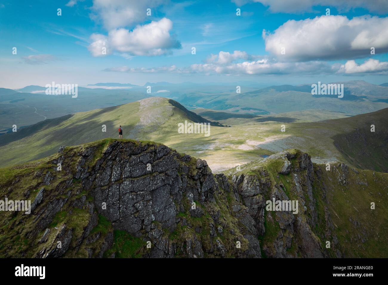 An aerial panorama capturing a hiker standing on a mountain ridge in the Scottish wilderness on a summers day Stock Photohttps://www.alamy.com/image-license-details/?v=1https://www.alamy.com/an-aerial-panorama-capturing-a-hiker-standing-on-a-mountain-ridge-in-the-scottish-wilderness-on-a-summers-day-image557352264.html
RF2RANGE0–An aerial panorama capturing a hiker standing on a mountain ridge in the Scottish wilderness on a summers day
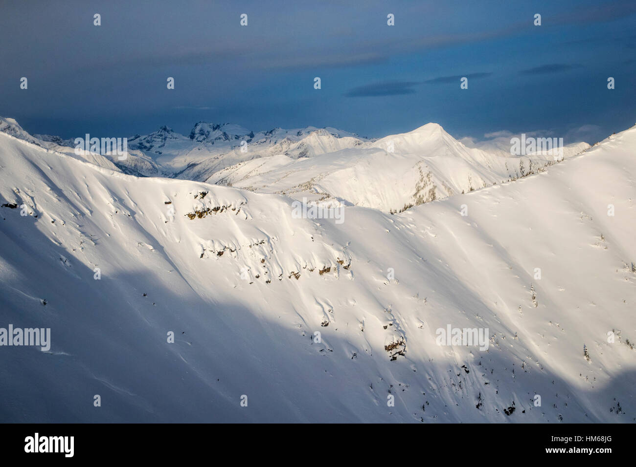 Aerial winter view of Esplanade Range; sub-range of Selkirk Range; British Columbia; Canada Stock Photohttps://www.alamy.com/image-license-details/?v=1https://www.alamy.com/stock-photo-aerial-winter-view-of-esplanade-range-sub-range-of-selkirk-range-british-132904200.html
RMHM68JG–Aerial winter view of Esplanade Range; sub-range of Selkirk Range; British Columbia; Canada
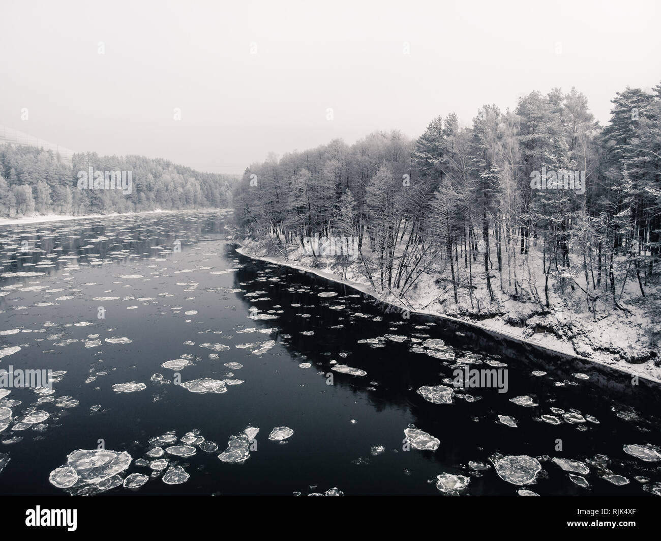 View to the snowy shore from the middle of freezing river with reflections of the forest in water Stock Photohttps://www.alamy.com/image-license-details/?v=1https://www.alamy.com/view-to-the-snowy-shore-from-the-middle-of-freezing-river-with-reflections-of-the-forest-in-water-image235219559.html
RFRJK4XF–View to the snowy shore from the middle of freezing river with reflections of the forest in water
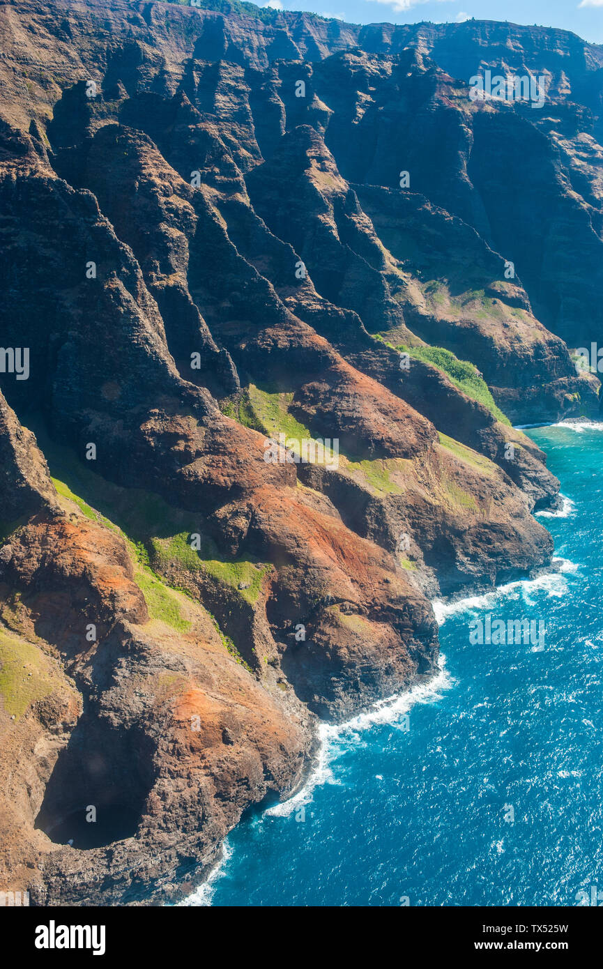 Hawaii, Kauai, Aerial of the Na Pali Coast, Na Pali Coast State Wilderness Park Stock Photohttps://www.alamy.com/image-license-details/?v=1https://www.alamy.com/hawaii-kauai-aerial-of-the-na-pali-coast-na-pali-coast-state-wilderness-park-image257037701.html
RFTX525W–Hawaii, Kauai, Aerial of the Na Pali Coast, Na Pali Coast State Wilderness Park
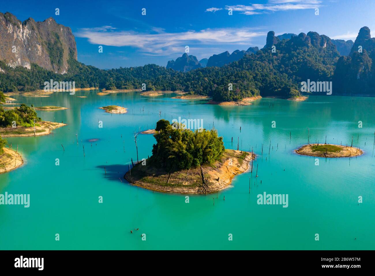 Aerial drone view looking down onto tiny, jungle covered islands in a huge lake surrounded by limestone cliffs. (Cheow Lan Lake, Khao Sok) Stock Photohttps://www.alamy.com/image-license-details/?v=1https://www.alamy.com/aerial-drone-view-looking-down-onto-tiny-jungle-covered-islands-in-a-huge-lake-surrounded-by-limestone-cliffs-cheow-lan-lake-khao-sok-image348448232.html
RF2B6W57M–Aerial drone view looking down onto tiny, jungle covered islands in a huge lake surrounded by limestone cliffs. (Cheow Lan Lake, Khao Sok)
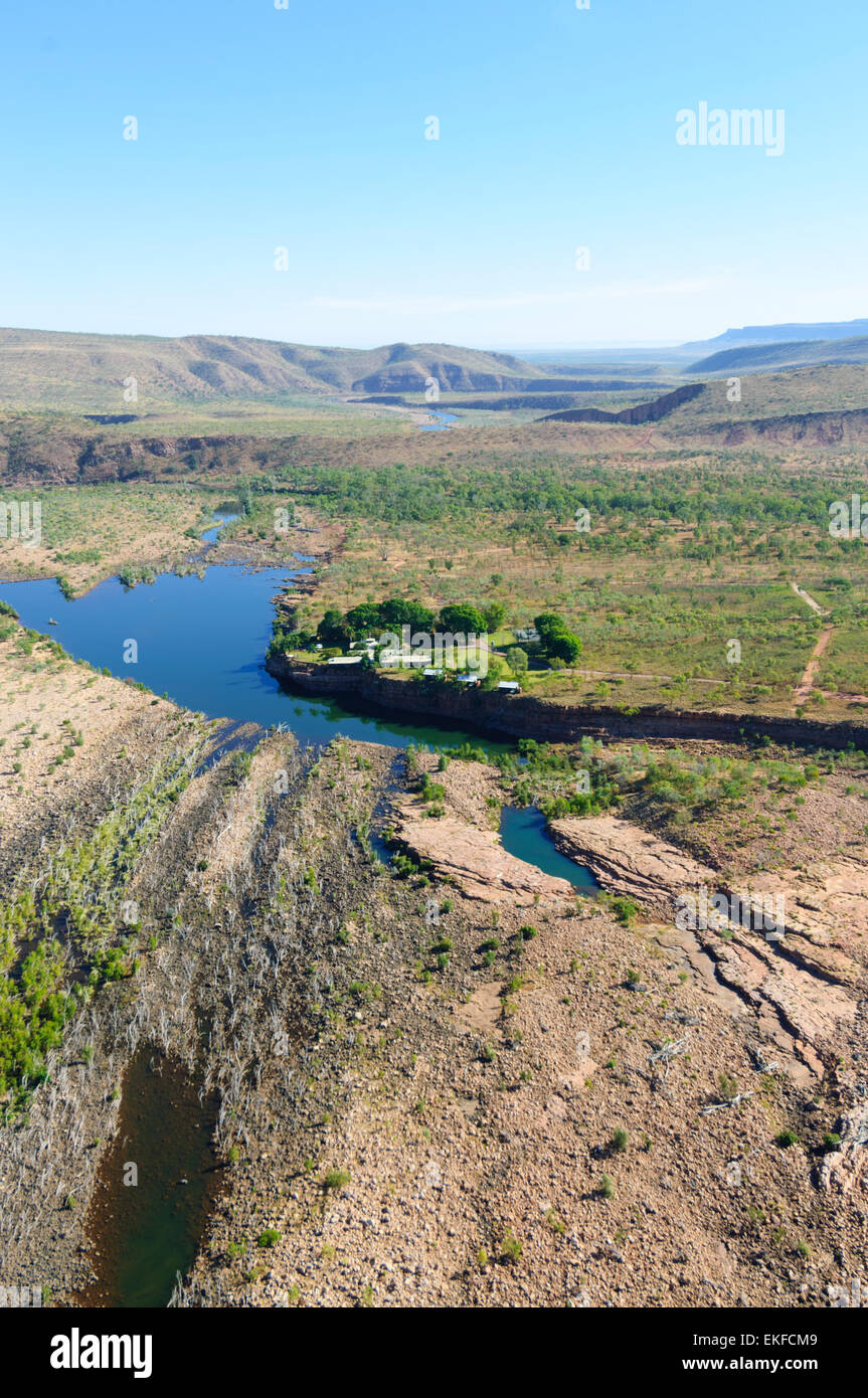 Aerial view of El Questro Wilderness Park, Kimberley Region, Western Australia, WA, Australia Stock Photohttps://www.alamy.com/image-license-details/?v=1https://www.alamy.com/stock-photo-aerial-view-of-el-questro-wilderness-park-kimberley-region-western-80859193.html
RMEKFCM9–Aerial view of El Questro Wilderness Park, Kimberley Region, Western Australia, WA, Australia
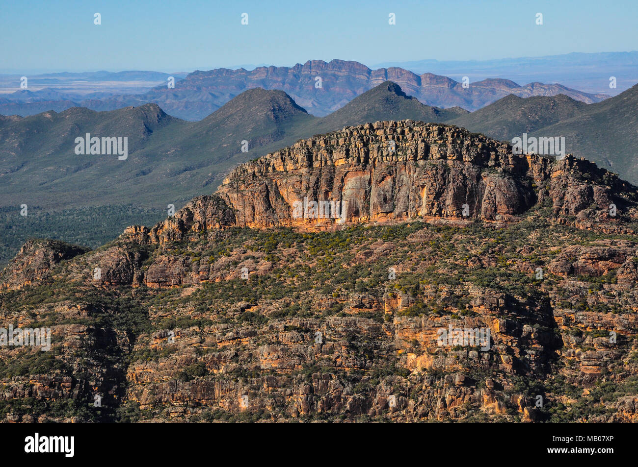 Flinders Ranges in South Australia, bird's eye view Stock Photohttps://www.alamy.com/image-license-details/?v=1https://www.alamy.com/flinders-ranges-in-south-australia-birds-eye-view-image178871134.html
RFMB07XP–Flinders Ranges in South Australia, bird's eye view
 Soderica lake in Podravina region aerial summer view, northern Croatia Stock Photohttps://www.alamy.com/image-license-details/?v=1https://www.alamy.com/soderica-lake-in-podravina-region-aerial-summer-view-northern-croatia-image620580637.html
RM2Y1HTX5–Soderica lake in Podravina region aerial summer view, northern Croatia
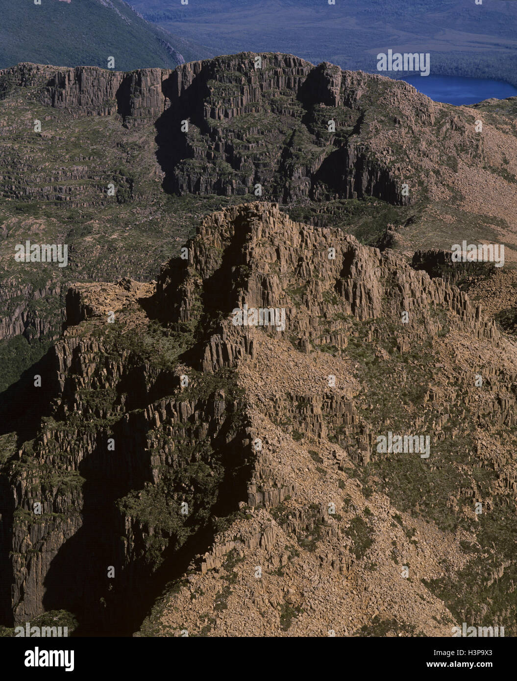 Boulder-strewn slopes of Mount Anne, 1423 m, Stock Photohttps://www.alamy.com/image-license-details/?v=1https://www.alamy.com/stock-photo-boulder-strewn-slopes-of-mount-anne-1423-m-122807275.html
RMH3P9X3–Boulder-strewn slopes of Mount Anne, 1423 m,
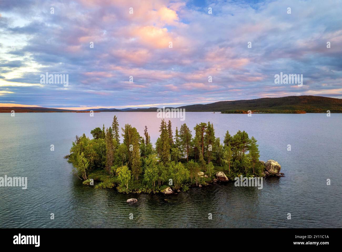 Summer, Aerial, Aerial, Forest, Lake, Island, Wilderness, Lapland, Sweden, Europe Stock Photohttps://www.alamy.com/image-license-details/?v=1https://www.alamy.com/summer-aerial-aerial-forest-lake-island-wilderness-lapland-sweden-europe-image620219302.html
RM2Y11C1A–Summer, Aerial, Aerial, Forest, Lake, Island, Wilderness, Lapland, Sweden, Europe
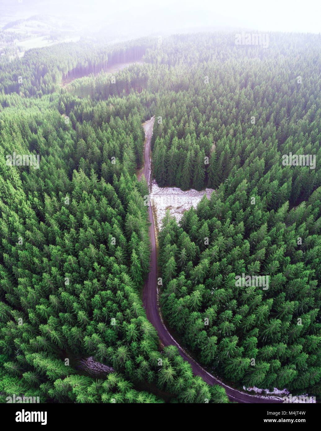 Empty road in a forest from a drone Stock Photohttps://www.alamy.com/image-license-details/?v=1https://www.alamy.com/stock-photo-empty-road-in-a-forest-from-a-drone-174976393.html
RFM4JT4W–Empty road in a forest from a drone
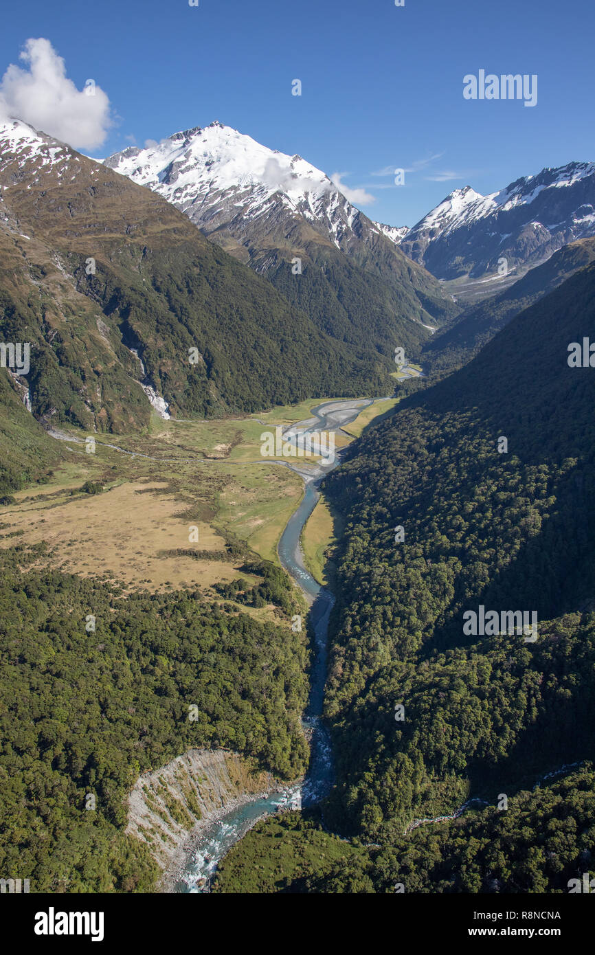 Aerial of Mt Aspiring National Park, South Island, New Zealand Stock Photohttps://www.alamy.com/image-license-details/?v=1https://www.alamy.com/aerial-of-mt-aspiring-national-park-south-island-new-zealand-image229123030.html
RMR8NCNA–Aerial of Mt Aspiring National Park, South Island, New Zealand
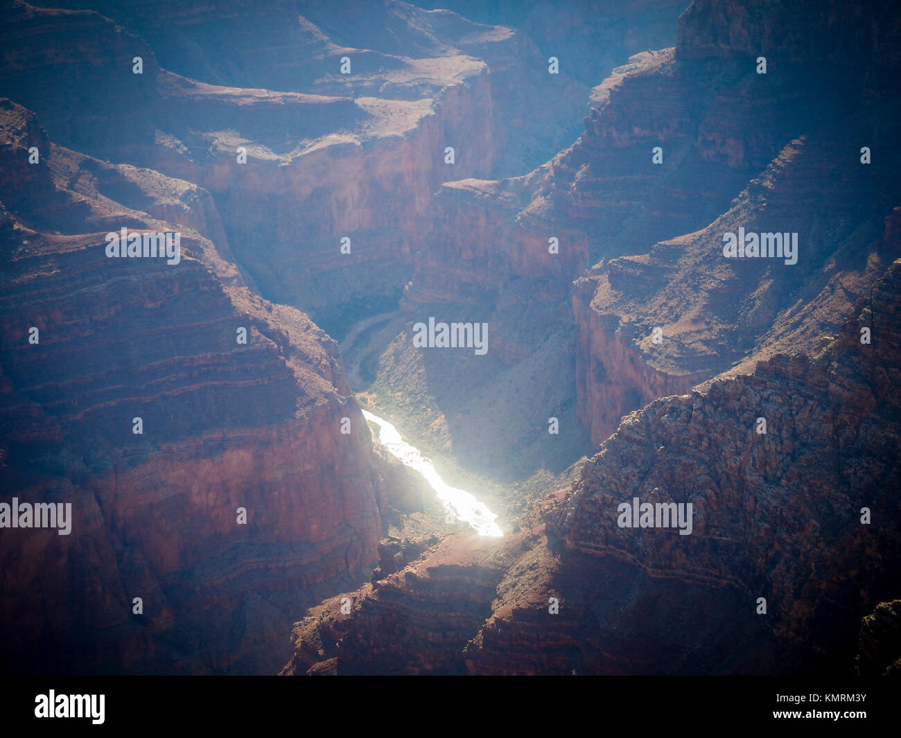 Aerial view from the Grand Canyon National Park and Colorado River Stock Photohttps://www.alamy.com/image-license-details/?v=1https://www.alamy.com/stock-image-aerial-view-from-the-grand-canyon-national-park-and-colorado-river-167707119.html
RFKMRM3Y–Aerial view from the Grand Canyon National Park and Colorado River
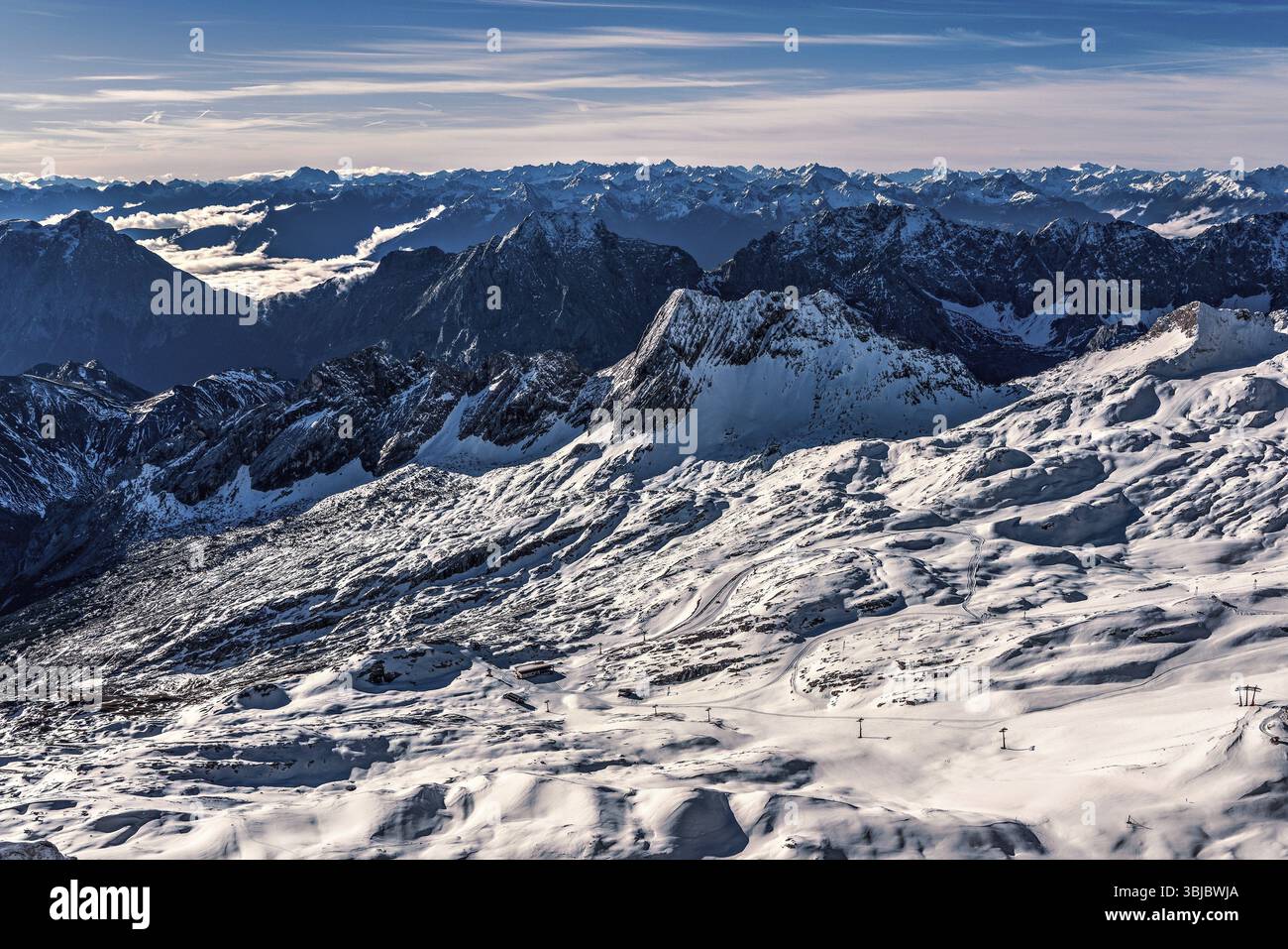 Panoramic view of the Tyrol and Bavarian Alps, Germany, Europe Stock Photohttps://www.alamy.com/image-license-details/?v=1https://www.alamy.com/panoramic-view-of-the-tyrol-and-bavarian-alps-germany-europe-image682529746.html
RF3BJBWJA–Panoramic view of the Tyrol and Bavarian Alps, Germany, Europe
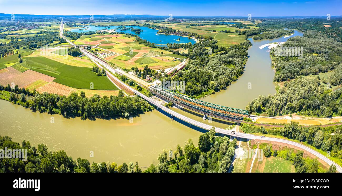 Drava river and Soderica lake in Podravina region aerial panoramic view Stock Photohttps://www.alamy.com/image-license-details/?v=1https://www.alamy.com/drava-river-and-soderica-lake-in-podravina-region-aerial-panoramic-view-image627855353.html
RF2YDD7WD–Drava river and Soderica lake in Podravina region aerial panoramic view