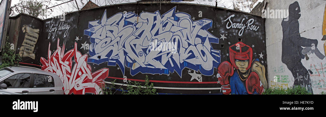
Sandy Row, Unionist community,Belfast,Northern Ireland,UK - wide pano

RMID:Image ID:HE7KYD
Image details
Contributor:
Tony Smith / Alamy Stock PhotoImage ID:
HE7KYDFile size:
64.9 MB (3.9 MB Compressed download)Releases:
Model - no | Property - noDo I need a release?Dimensions:
8830 x 2568 px | 74.8 x 21.7 cm | 29.4 x 8.6 inches | 300dpiDate taken:
5 May 2011Location:
Sandy row, South Belfast, County Antrim, Northern Ireland, UKMore information:
Sandy Row is a street in south Belfast, Northern Ireland. It lends its name to the surrounding residential community, which is predominantly Protestant working-class. The Sandy Row area had a population of 2, 153 in 2001.[1][2] It is a staunchly loyalist area of Belfast, being a traditional heartland for affiliation with the paramilitary Ulster Defence Association (UDA) and the Orange Order.