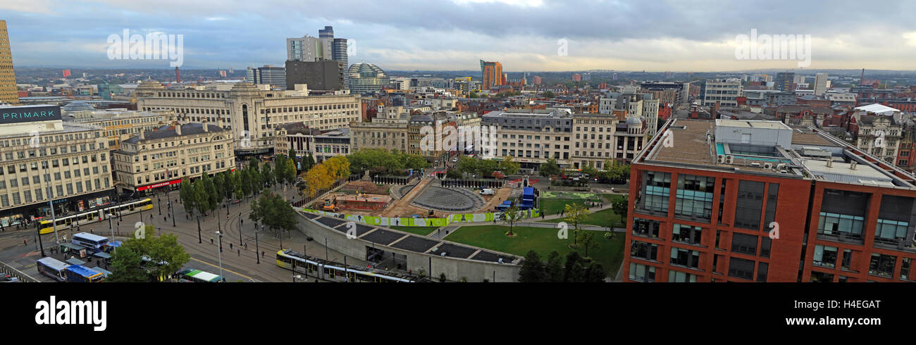
Manchester city centre panorama, looking north towards the Northern Quarter, Lancashire, England, UK

Image details
Contributor:
Tony Smith / Alamy Stock PhotoImage ID:
H4EGATFile size:
109.7 MB (5.9 MB Compressed download)Releases:
Model - no | Property - noDo I need a release?Dimensions:
11148 x 3438 px | 94.4 x 29.1 cm | 37.2 x 11.5 inches | 300dpiDate taken:
11 October 2016More information:
Manchester is a city and metropolitan borough in Greater Manchester, England, with a population of 530, 300 as of 2015. It lies within the United Kingdom's second-most populous urban area, with a population of 2.8 million. Manchester is fringed by the Cheshire Plain to the south, the Pennines to the north and east, and an arc of towns with which it forms a continuous conurbation. The local authority is Manchester City Council. The recorded history of Manchester began with the civilian settlement associated with the Roman fort of Mamucium or Mancunium, which was established in about AD 79 on a sandstone bluff near the confluence of the rivers Medlock and Irwell. It was historically a part of Lancashire, although areas of Cheshire south of the River Mersey were incorporated in the 20th century. Throughout the Middle Ages Manchester remained a manorial township but began to expand "at an astonishing rate" around the turn of the 19th century. Manchester's unplanned urbanisation was brought on by a boom in textile manufacture during the Industrial Revolution, and resulted in it becoming the world's first industrialised city. Piccadilly Gardens is a green space in Manchester city centre, England, between Market Street and the edge of the Northern Quarter. Piccadilly runs eastwards from the junction of Market Street with Mosley Street to the junction of London Road with Ducie Street; to the south are the gardens and paved areas. The area was reconfigured in 2002 with a water feature and concrete pavilion by Japanese architect Tadao Ando.