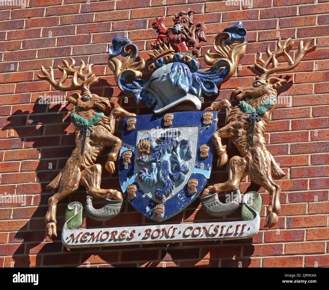
Macclesfield Council coat of arms - Memores Boni Consilii in latin, on a council building, Mill Street, Macclesfield, Cheshire, England, UK, SK11 6NN
Image details
Contributor:
Tony Smith / Alamy Stock PhotoImage ID:
2JP0KAAFile size:
39.2 MB (2.8 MB Compressed download)Releases:
Model - no | Property - noDo I need a release?Dimensions:
4104 x 3336 px | 34.7 x 28.2 cm | 13.7 x 11.1 inches | 300dpiDate taken:
12 August 2022Location:
Mill Street, Macclesfield, Cheshire, England, UK, SK11 6NNMore information:
Macclesfield is a market town and civil parish in the unitary authority of Cheshire East in Cheshire, England. It is located on the River Bollin in the east of the county, on the edge of the Cheshire Plain, with Macclesfield Forest to its east; it is 16 miles (26 km) south of Manchester and 38 miles (61 km) east of Chester. It became a major silk-manufacturing centre from the mid-18th century. The Macclesfield Canal was constructed in 1826–31. Hovis breadmakers were another Victorian employer. Modern industries include pharmaceuticals. Multiple mill buildings are still standing and several of the town's museums explore the local silk industry. Other landmarks include Georgian buildings such as the Town Hall and former Sunday School; St Alban's Church, designed by Augustus Pugin; and the Arighi Bianchi furniture shop. The population of Macclesfield at the 2021 census was 57, 539. A person from Macclesfield is referred to as a "Maxonian"