
Map from June 1940 British allied Airborne Operations for WW2, south west and Wales, eastern approaches
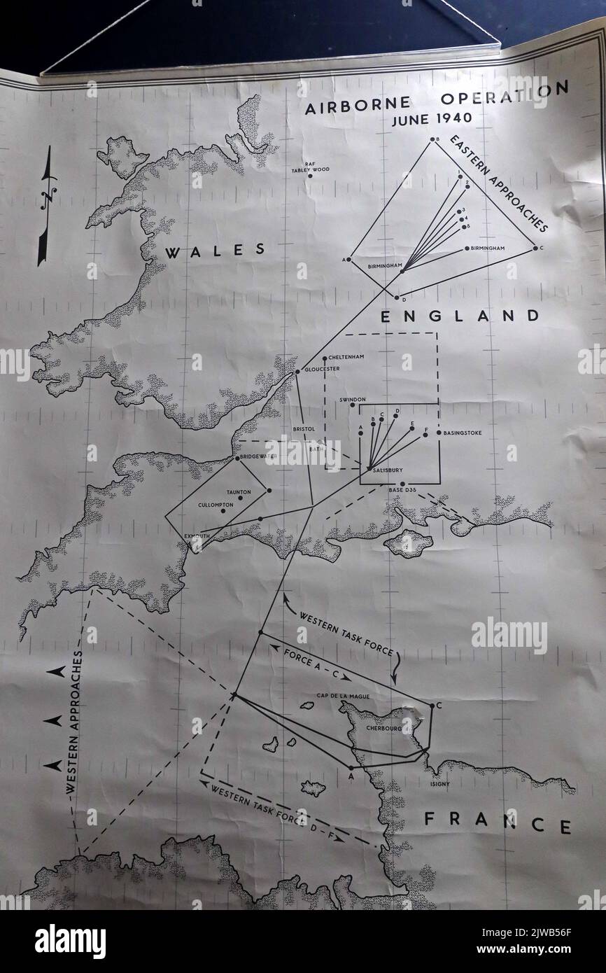
Image details
Contributor:
Tony SmithImage ID:
2JWB56FFile size:
57.1 MB (2.3 MB Compressed download)Releases:
Model - no | Property - noDo I need a release?Dimensions:
3648 x 5472 px | 30.9 x 46.3 cm | 12.2 x 18.2 inches | 300dpiDate taken:
19 August 2022Location:
United KingdomMore information:
. This location-specific image from United Kingdom in 2022 provides a visual record of the subject in everyday context, useful for both contemporary editorial work and later historical comparison. At the centre of the view is Map from June 1940 British allied Airborne Operations for WW2, south west and Wales, eastern approaches. The broader subject matter reaches into changing land use, regional identity, historical comparison, urban regeneration, contemporary social history, place-making, public-realm investment, place identity, documentary photography, social history, architectural character, everyday life, historic townscape, and urban fabric. In present-day coverage, the subject reaches into heritage conservation and housing pressure, not least because of how regeneration tries to create reasons to visit traditional town centres. As a dated visual record of United Kingdom, the frame retains landscape treatment and surrounding development, making it especially useful if refurbishment subsequently changes the scene. Further associations within the scene are local character, town-centre renewal, civic architecture, period detail, adaptive reuse, built heritage, mixed-use redevelopment, and heritage-led regeneration. References to Wales, eastern, British, allied, and Airborne give the picture a strong period identity and tie it closely to its named subject. A later view of United Kingdom may show a very different setting, increasing the value of this precise record of its earlier appearance and activity. Its period value extends to heritage conservation and how regeneration tries to create reasons to visit traditional town centres without losing the local specificity of United Kingdom. The location additionally provides evidence of heritage conservation and how public investment can reshape pedestrian movement and evening activity in a form that can be compared with future views of United Kingdom.

