
Pedestrian wayfinding signs in Castlefield pointing towards Manchester Central,Bridgewater Hall, Museum of Science and Industry and nearby city centre
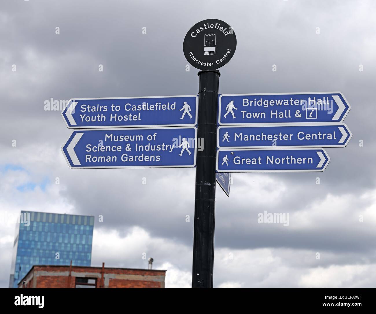
Image details
Contributor:
Tony SmithImage ID:
3CPAX8FFile size:
103.7 MB (1.4 MB Compressed download)Releases:
Model - no | Property - noDo I need a release?Dimensions:
6877 x 5270 px | 58.2 x 44.6 cm | 22.9 x 17.6 inches | 300dpiDate taken:
28 June 2025Location:
Castlefield, Manchester, Greater Manchester, M3 4FP, England, United KingdomMore information:
Pedestrian wayfinding signs in the Castlefield area of Manchester city centre, England, directing walkers towards major cultural, civic, and visitor destinations including Manchester Central, Bridgewater Hall, the Museum of Science and Industry, Roman Gardens, the Great Northern Warehouse, and Castlefield Youth Hostel. Castlefield is recognised as Manchester’s first designated urban heritage park and is known for its Roman origins, canal basins, and surviving industrial infrastructure. The blue and white signposts form part of the city’s pedestrian navigation system, designed to encourage walking between transport hubs, cultural venues, historic sites, and leisure areas. The signs reflect the layered character of Castlefield, where Roman archaeology, Victorian canals and railways, and modern cultural buildings coexist within a compact city-centre district. The image highlights themes of urban wayfinding, heritage-led regeneration, and the role of public realm infrastructure in supporting tourism, everyday movement, and accessibility in major British cities. It also illustrates how Manchester promotes walkability and connects historic neighbourhoods with contemporary cultural and commercial centres.

