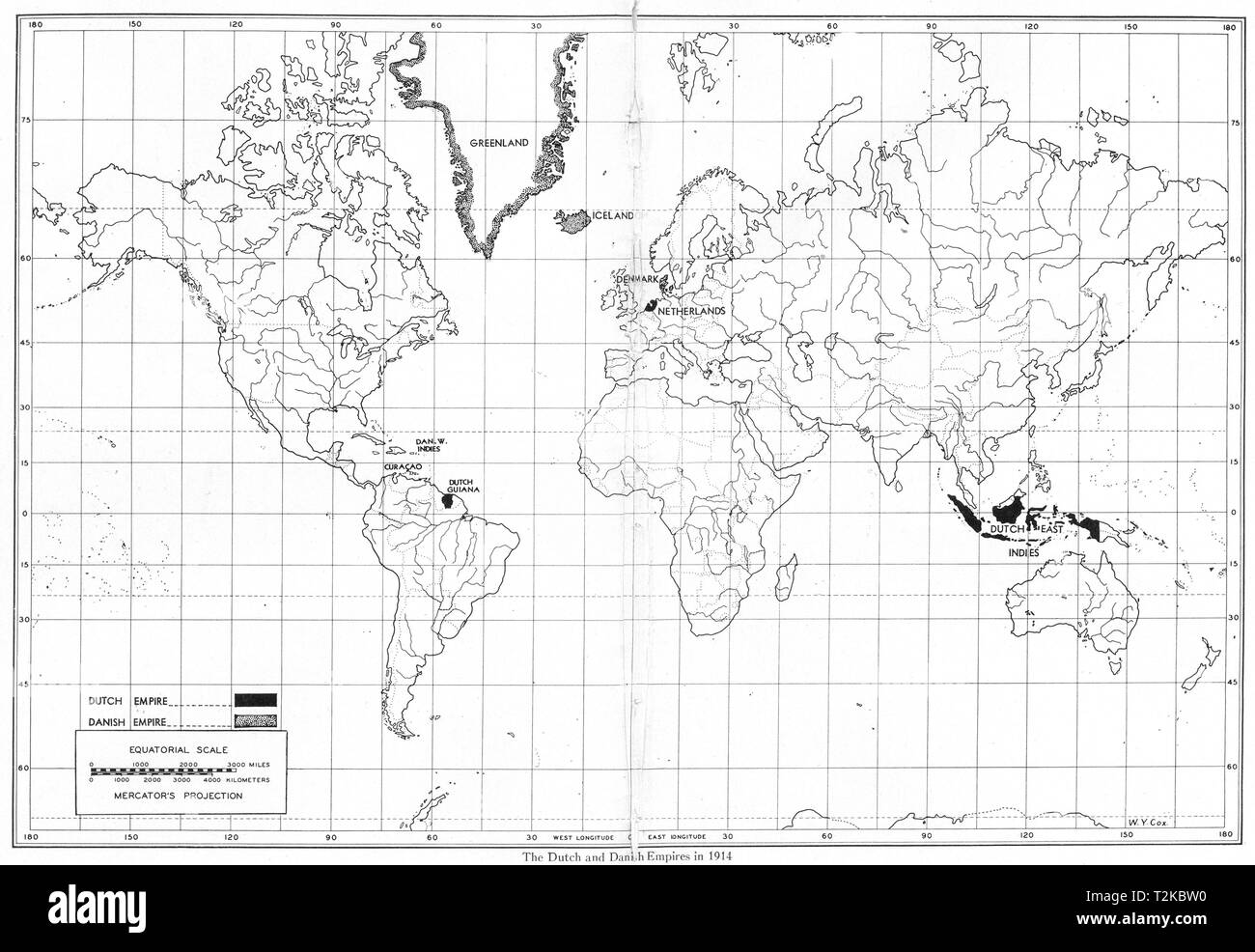
WORLD. The Dutch and Danish Empires in 1914 1948 old vintage map plan chart
RFID:Image ID:T2KBW0
Image details
Contributor:
Antiqua Print Gallery / Alamy Stock PhotoImage ID:
T2KBW0File size:
26 MB (968.9 KB Compressed download)Releases:
Model - no | Property - noDo I need a release?Dimensions:
3631 x 2503 px | 30.7 x 21.2 cm | 12.1 x 8.3 inches | 300dpiDate taken:
1948Location:
WorldMore information:
This image could have imperfections as it’s either historical or reportage.
The Dutch and Danish Empires in 1914. Artist/engraver/cartographer: Drawn by Walter Y. Cox. Provenance: "March of Empire"; by Lowell Ragatz, Published by H.L. Lindquist, New York. Type: Vintage map.